One of my favorite things about hiking in the San Gabriel Mountains is that there is always something new to discover. From the gorgeous Cooper Canyon Falls to the iconic summit of Mount Baldy to the ruins found on Echo Mountain, you could spend a lifetime exploring this range and never get bored. So, when learned about a teepee built in the hills above La Cañada, I knew I had to go and see it for myself. The resulting adventure was a 5.2-mile hike with 1,031 feet of elevation gain. And while this quirky and amusing destination was fun to see in person, the classic, San-Gabriel-Mountains-high-elevation views are what made the journey worth it.
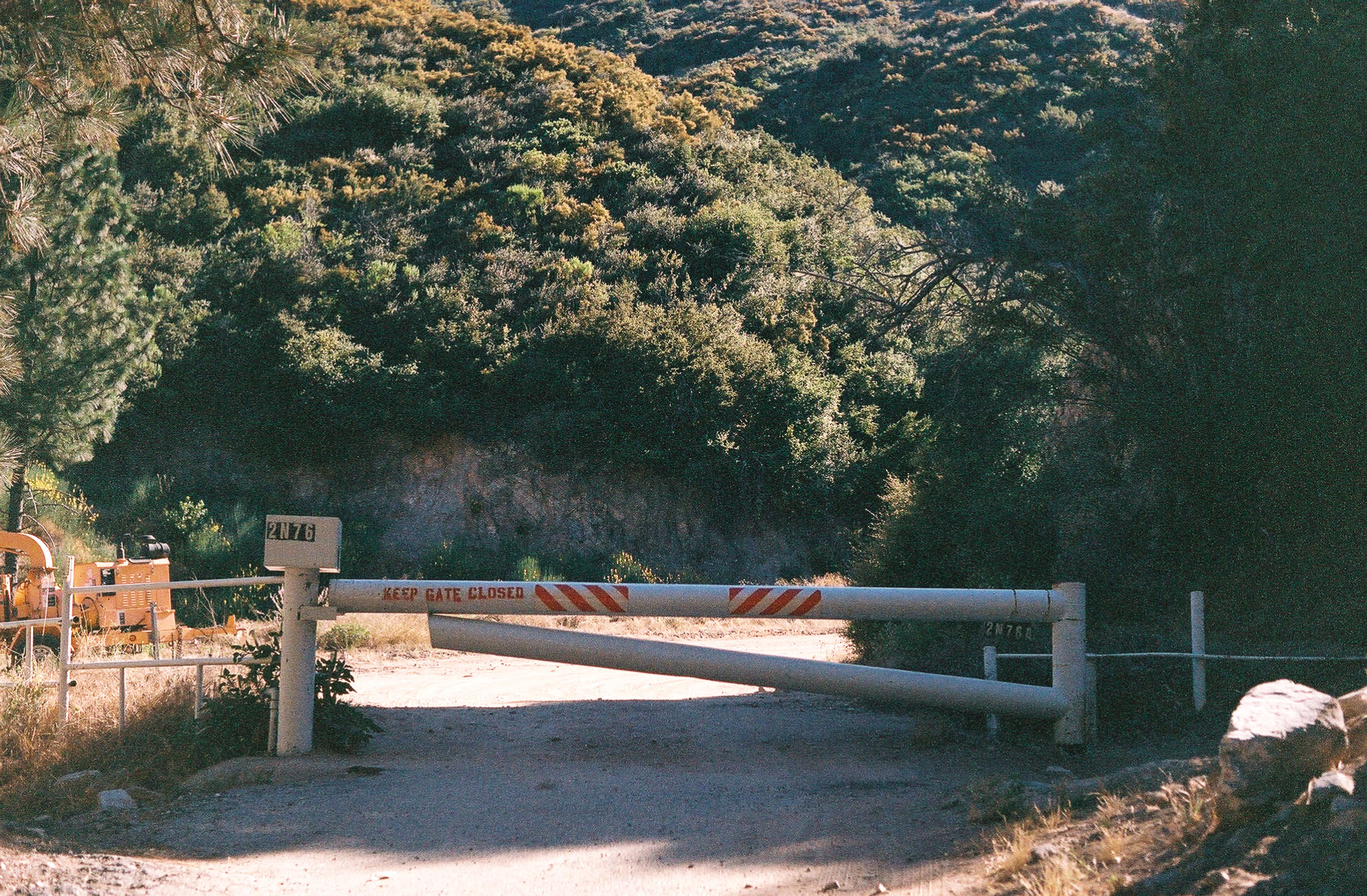
The trail starts behind the Angeles Crest Fire Station and there is a decent-sized pullout that fits about 10 cars across the highway where you can park. There are trashcans nearby, but otherwise, amenities are limited. To find the trailhead, walk into the driveway until you reach a wide dirt trail guarded by a metal gate. Walk around the barrier to start your hike.
Don’t be alarmed if you see signs warning you to stay off the property. As long as you walk to the end of the driveway, you’ll be fine. Shot on Kodak Porta 400 film.
Trekking along Mt Lukens Road, you’ll immediately start on a steady incline which will take you most of the way to the teepee. And aside from a few tall trees, the trail is decently exposed, so working up a sweat is a near guarantee. Be sure to carry lots of water and sun protection, especially during the summer months. Luckily, your path is wide and well-manicured, making the climb a little easier. Make sure to stay alert though, as this is a multi-use trail, so you will potentially run into mountain bikers or (rarely) motorized vehicles.
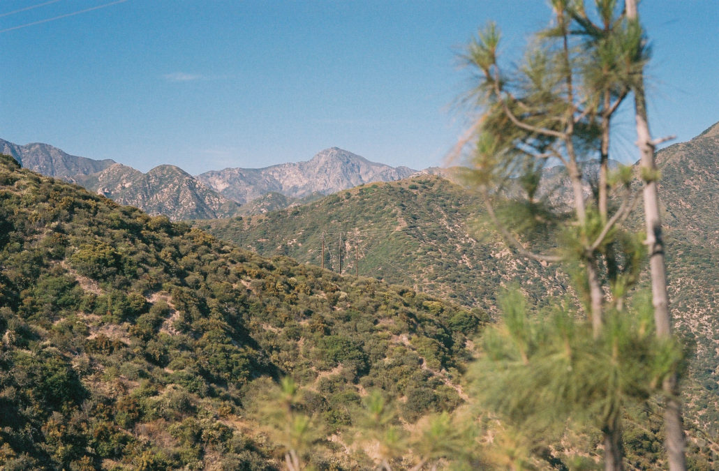
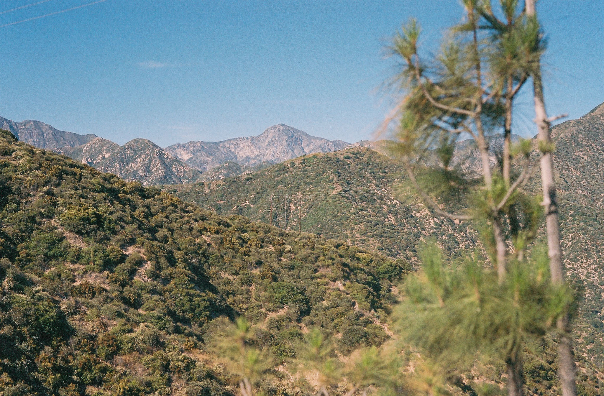
Strawberry Peak in the distance. with Shot on Kodak Porta 400 film.
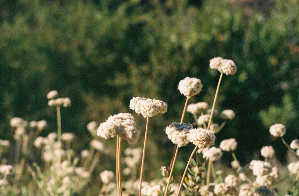
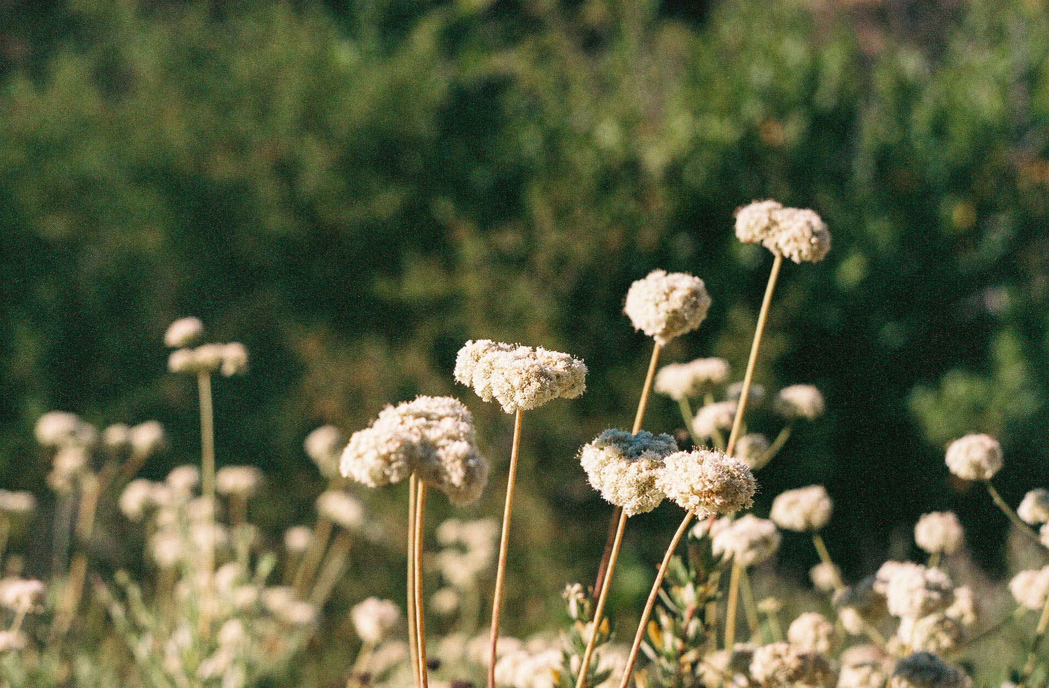
California buckwheat. Shot on Kodak Porta 400 film.
The first section of this hike follows a series of switchbacks carved into the side of the mountain. As you hike, keep an eye out for blooming flowers along the trail – I saw Southern bush monkeyflower, California buckwheat, Deerweed, and lupines all showing off their bright colors, even in the heat of the summer. Covering the mountainside were many drought-resistant, Mediterranean plants and in the distance, you can see several front-range mountains including Strawberry Peak. And if you listen close enough, you’ll also likely hear muffled voices coming from the firefighter radios below.
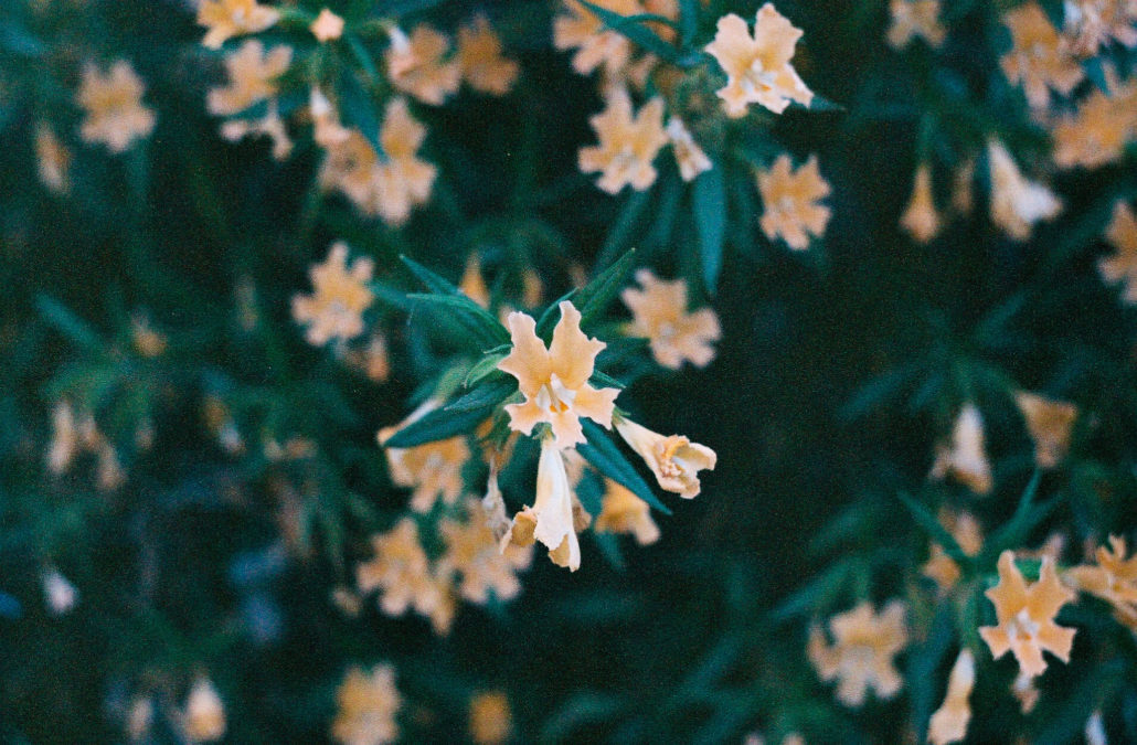
Southern bush monkeyflower. Shot on Kodak Porta 400 film.
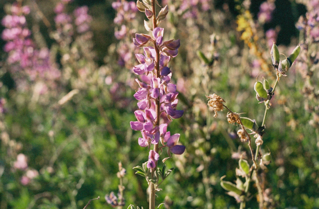
Lupines. Shot on Kodak Porta 400 film.
After 1.3 miles, you’ll eventually reach a bench lookout, marking the end of the switchback section. It’s a nice rest spot that gives hikers expansive views of both the San Gabriel Valley and Los Angeles, including downtown and (on a clear day) the Pacific Ocean. Once you’ve rested up, continue meandering your way up the mountain.
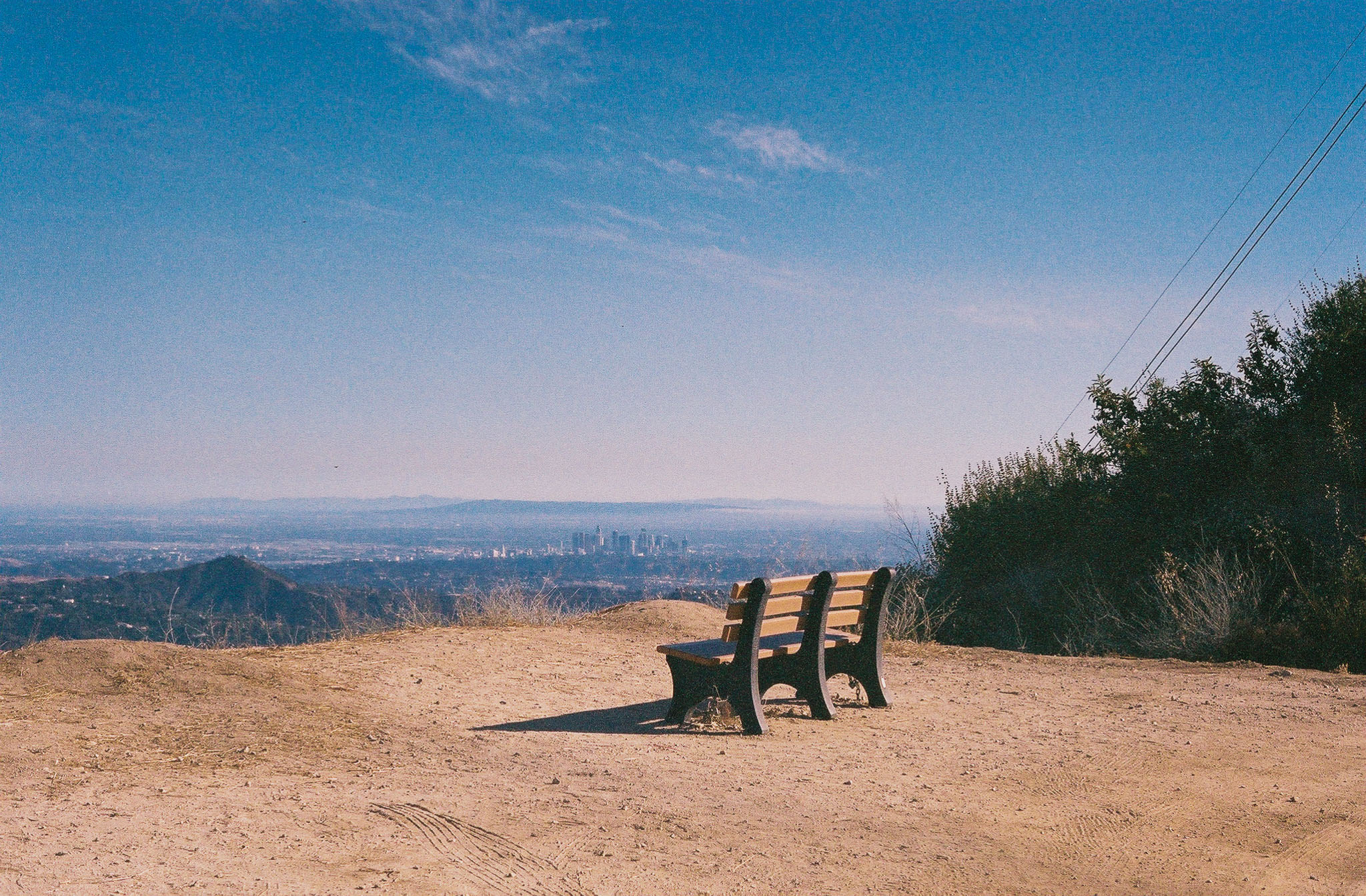
This bench is a nice rest spot that offers stunning views. Shot on Kodak Porta 400 film.
You will soon pass under two transmission towers. Don’t be alarmed if you begin to hear what sounds like a swarm of bugs – it’s just the powerlines buzzing overhead.
During this section of the hike, you can clearly see the trail ahead of you, which is a nice change of pace as you now know where you’re headed. At 1.7 miles, the view once again opens to your left, offering even more spectacular sights of the cities below.
Reaching 2 miles, be sure to peer down at the winding trail below you to see how far you’ve come. Then, at 2.3 miles turn left at the mailbox to begin the final approach to the teepee. This last section of the hike is on private property, but the owner graciously allows hikers to respectfully pass through, so please stay on the trail and avoid disturbing the area. The path flattens out here and weaves its way through a field of tall grass – a stark difference from the rest of your journey. There are also beehives in the area, although I didn’t see any big swarms when I visited. Finally, at 2.5 miles, you’ll reach a clearing where the teepee permanently sits.
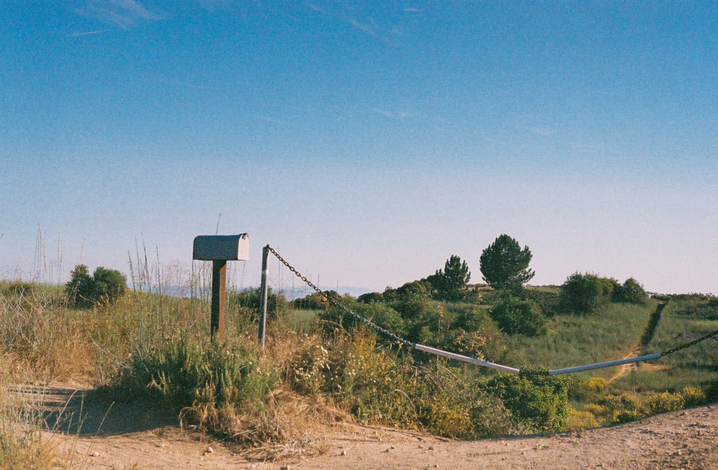
Please be courteous when traveling through this private property section. Shot on Kodak Porta 400 film.
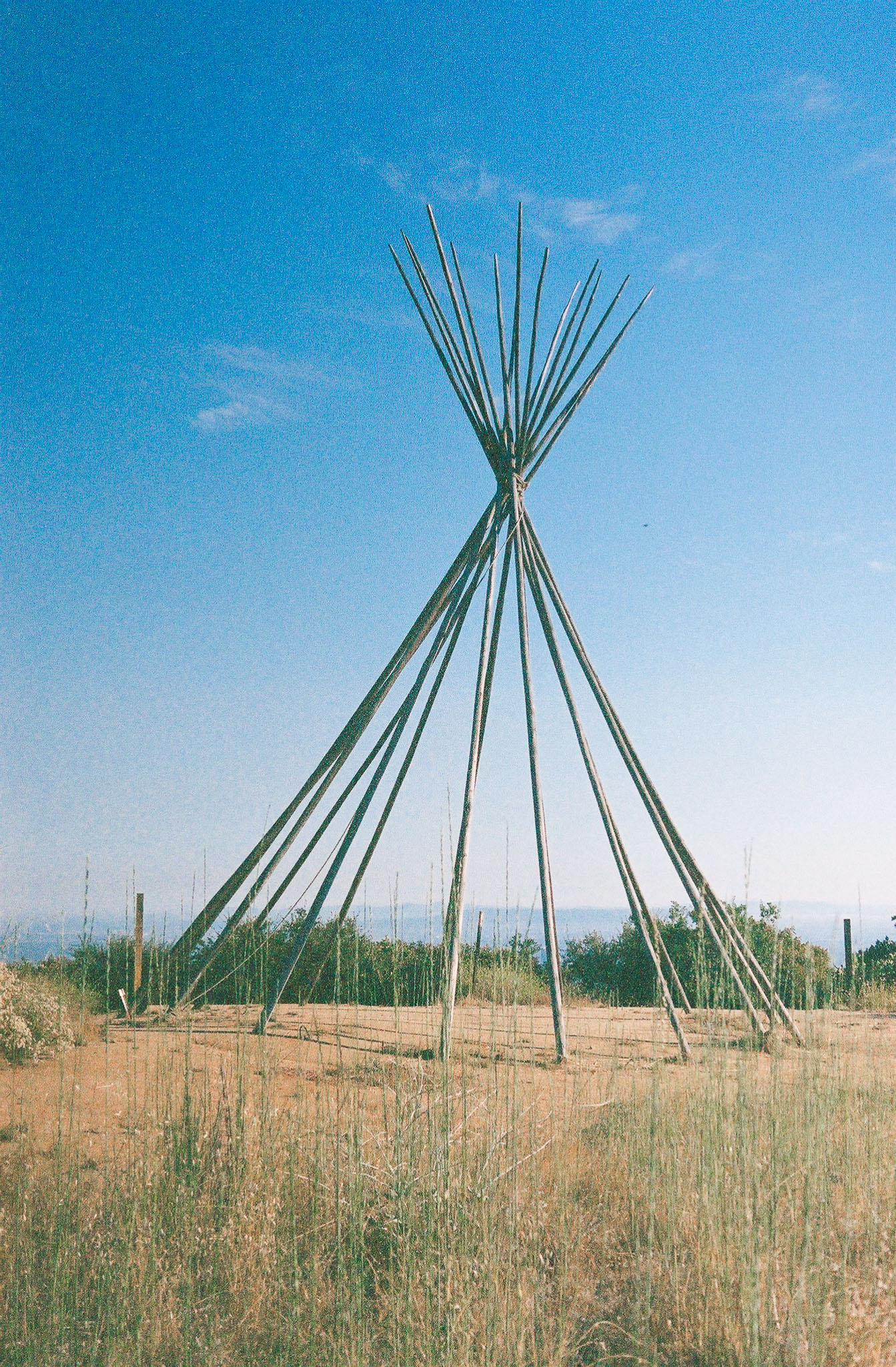
Up close, this large, 15 to 20 foot wooden structure was surprisingly impressive and sturdy. It was just a skeleton when I visited, although I’ve seen past photos with it covered in canvas. Also here are the best views of the entire hike. Sitting at an elevation of 3,251 feet, you’ll have a bird’s eye view of the Los Angeles basin, as well as a clear sightline to many peaks in the San Gabriel Mountains.
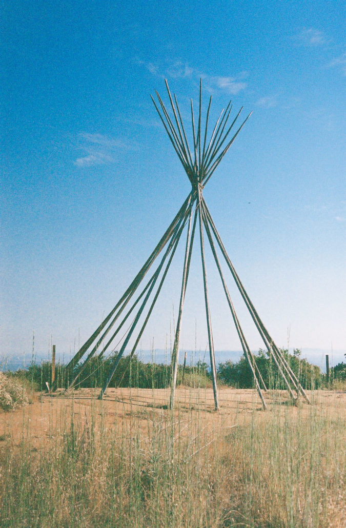
This large teepee is a fascinating spectacle among the mountains. Shot on Kodak Porta 400 film.
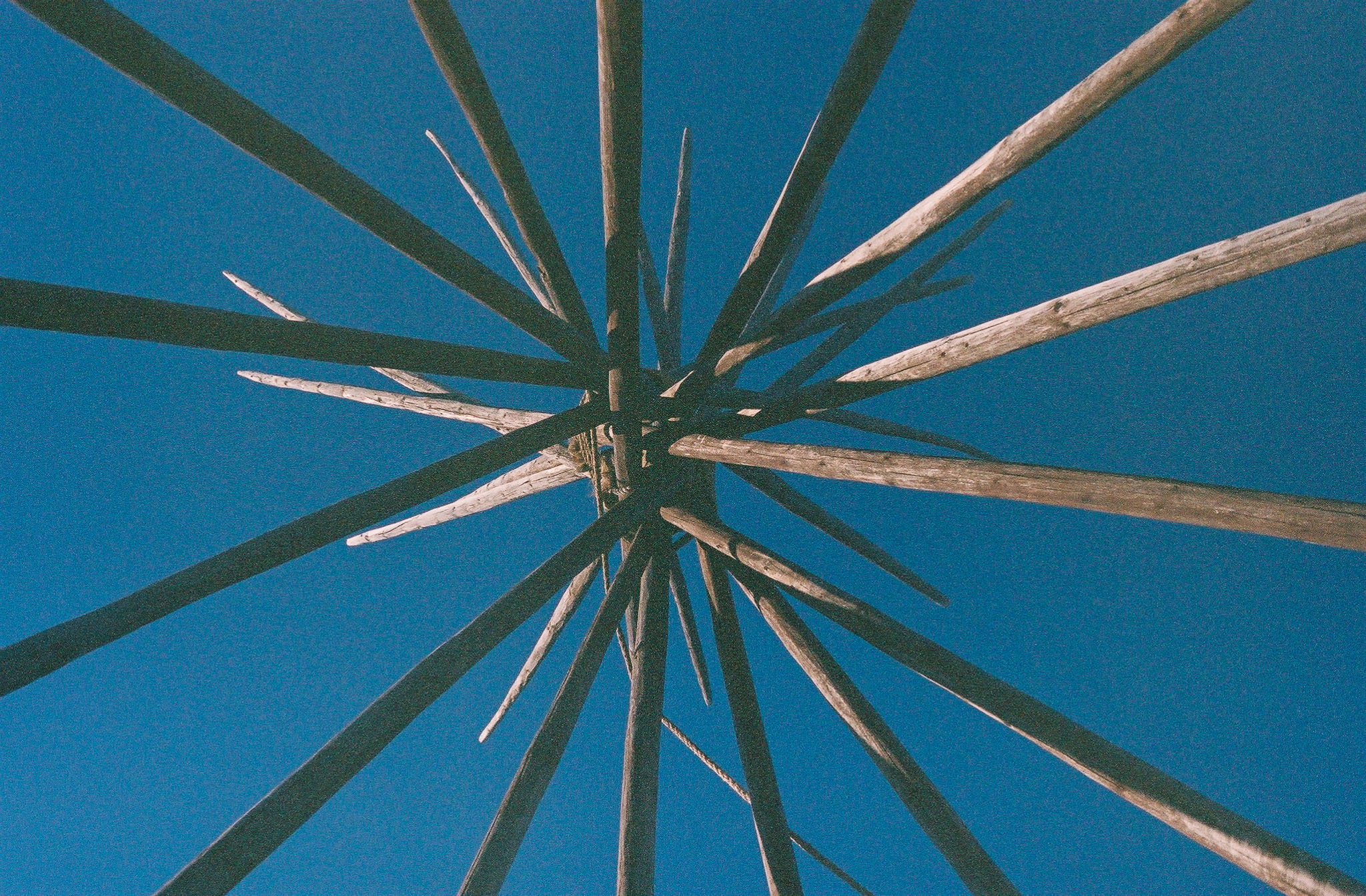
It’s fun to rest and take a break inside the teepee. Shot on Kodak Porta 400 film.
After soaking it all in, retrace your steps to complete this out-and-back hike.
Tags: Angeles National Forest, San Gabriel Mountains, Teepee, views