The hike to Mount Baldy is a leg-busting ascent to the highest point in Los Angeles County, with a neighboring mountain thrown in for good measure. This is a classic hike through some incredible subalpine scenery, and is a MUST HIKE for anyone who lives in or is visiting Southern California, provided you’re up to the challenge — and please, don’t underestimate this trail just because it’s close to cities.
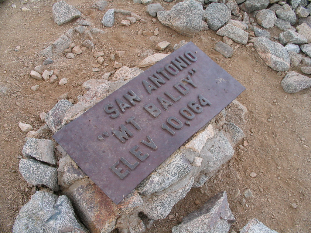
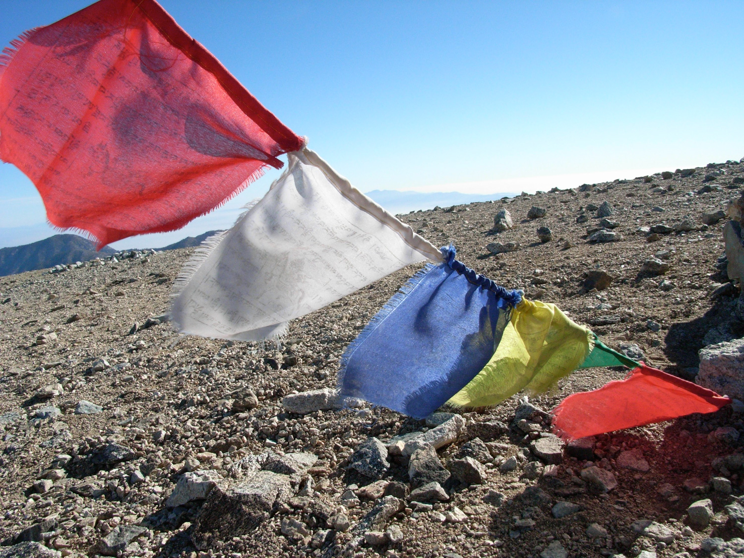
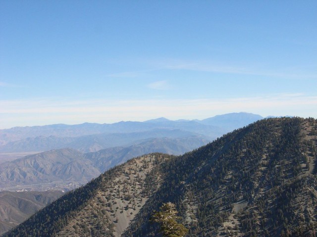
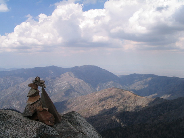
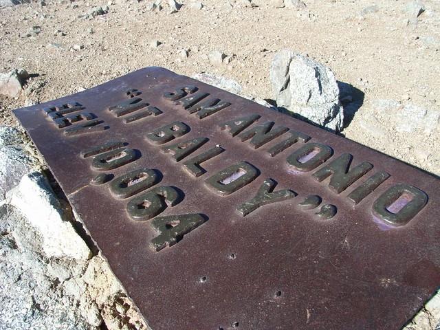
The Mount San Antonio (or, Mount Baldy, if you’re feeling colloquial) trail is hands-down one of the best in Southern California. It’s the highest peak in the San Gabriel Mountains at 10,069 feet (or 10,064, depending on who you ask), and its tree-free summit provides incredible panoramic views of almost every single kind of SoCal terrain — from desert to city to mountains to ocean. There are two popular routes to the top – and they’ll both make you work for it. But once you get there and collapse high above the rest of civilization, it’s absolutely worth it.
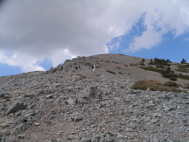
However, please note that while Mount Baldy can be done as a tough but not-especially-technical day hike, it is a Serious Mountain. Because this mountain has a steep face and sits on the border between the Mediterranean and desert climates in Southern California, this region has a tendency to make its own weather without much notice. Crushing thunderstorms have been known to appear in the summer and fall, and during the winter months this trail is likely to be covered in ice and snow and require real technical know-how. In winter you may need ice axes, crampons, helmets, and the training to know how to use them. People can and do die on this trail, so please take it seriously.
The fire road leaving Manker Flats had very recently been repaved — so the first three-quarters of a mile were on fresh asphalt. Your feet may not be happy, but the views of the Baldy Bowl and the distant summit are more than enough to take your mind off the urban footing.
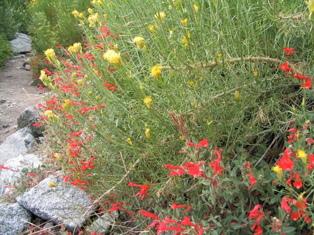
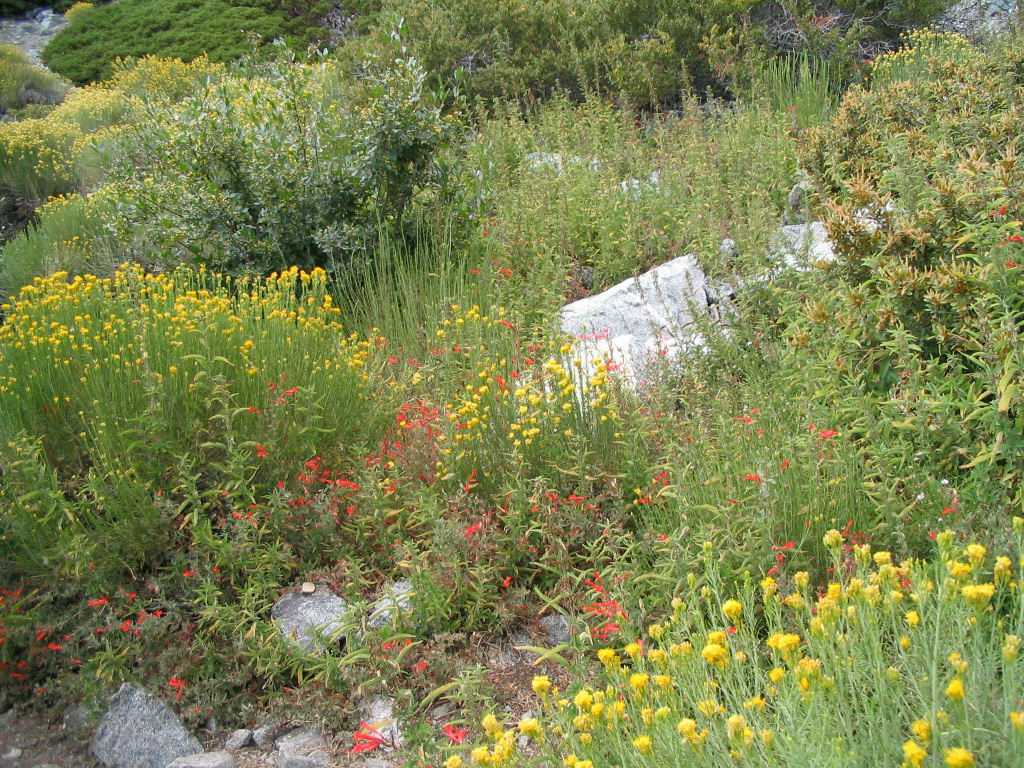
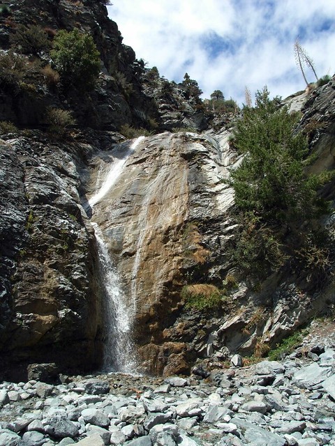
At that 0.5 mile mark, there’s a small spur trail that leads to the bottom of San Antonio Falls. If you can get there on the first few warm days of spring, you can get absolutely drenched by the 80 foot waterfall. Assuming, of course, we’ve had some snowfall over the winter. Even with our record-breaking bone dry winter of last year, though, the falls still had a bit of water left in ’em.
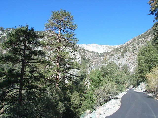
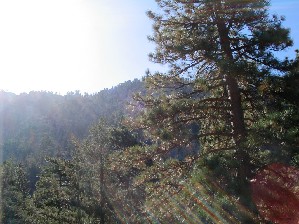
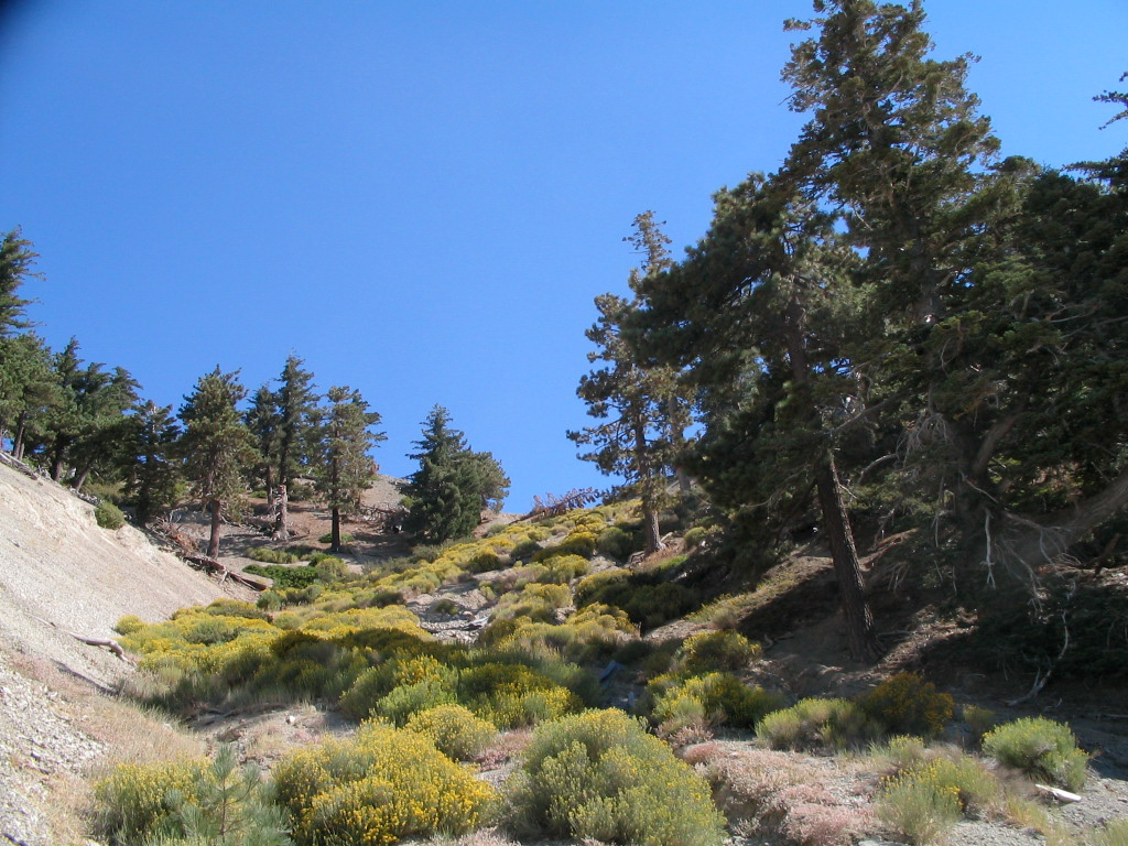
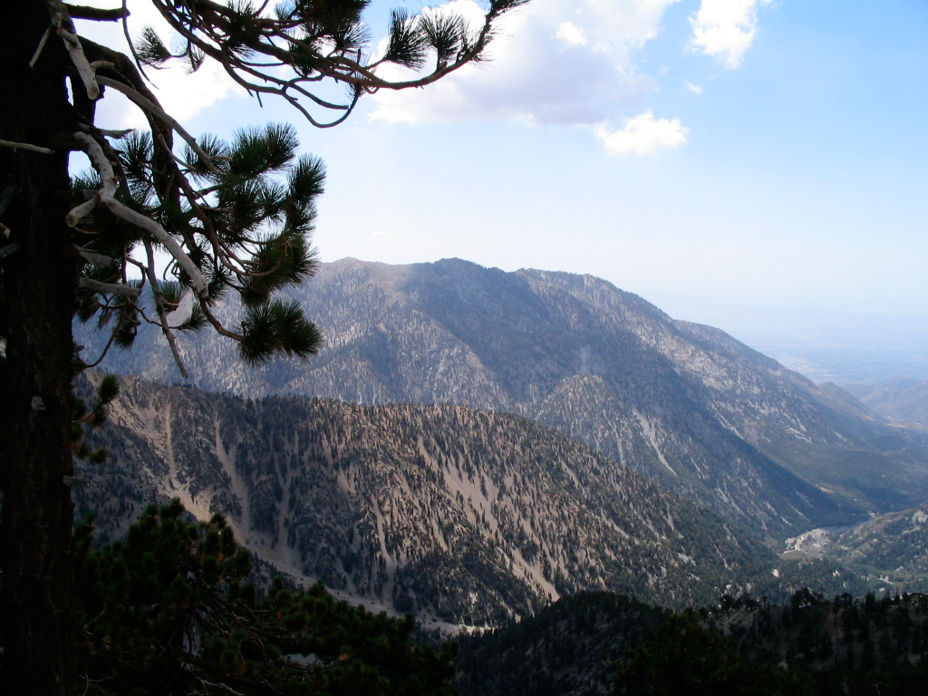
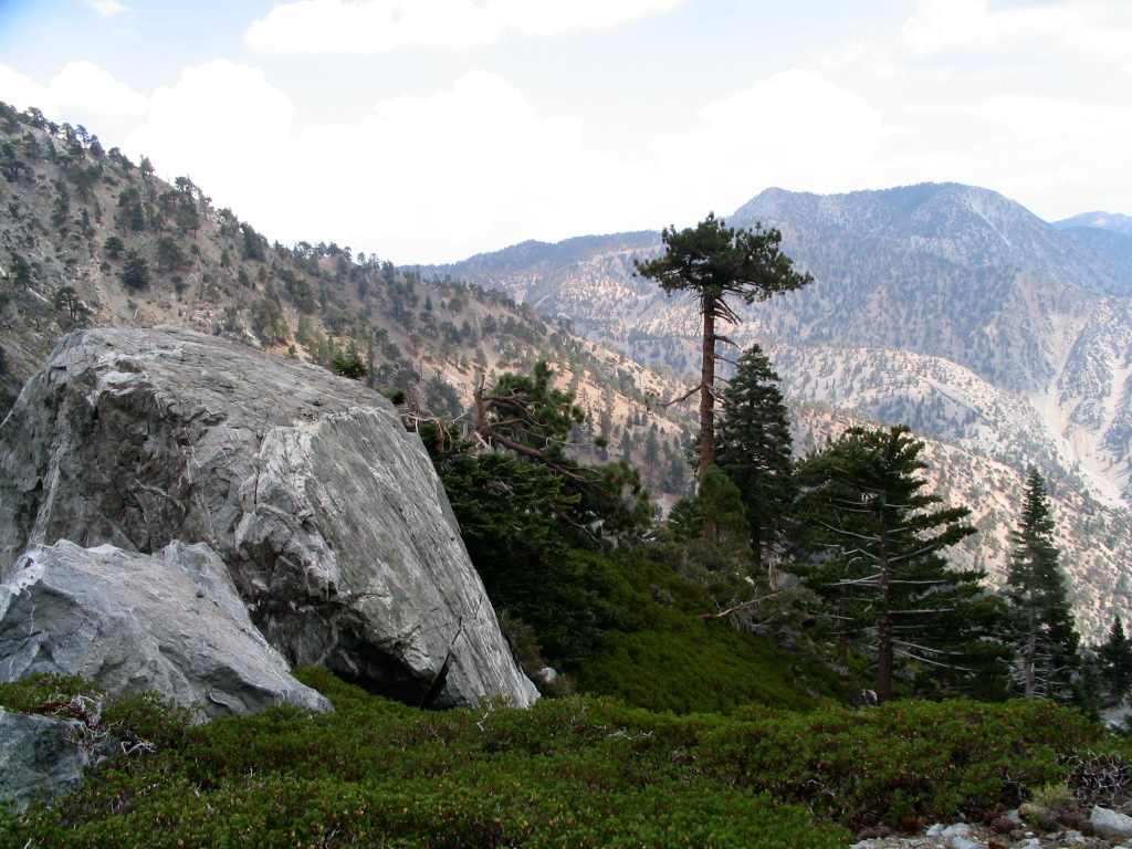
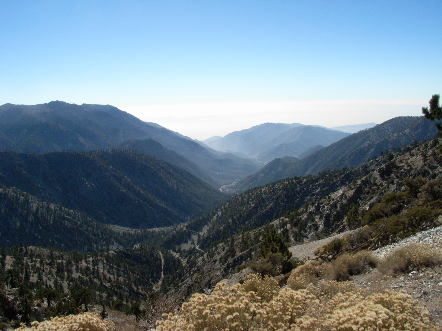
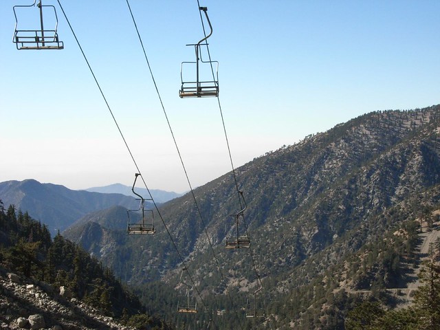
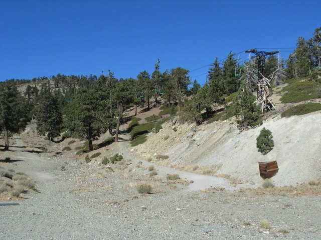
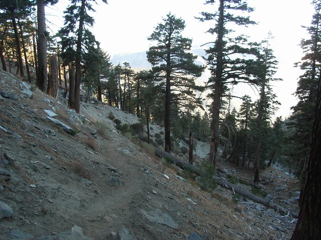
The fire road becomes unpaved at this point and continues on a long and winding path up to Baldy Notch. It’s a pleasant, easy walk with plenty of views of the San Antonio valley, but compared to what comes later on in the trail, it’s a bit boring.
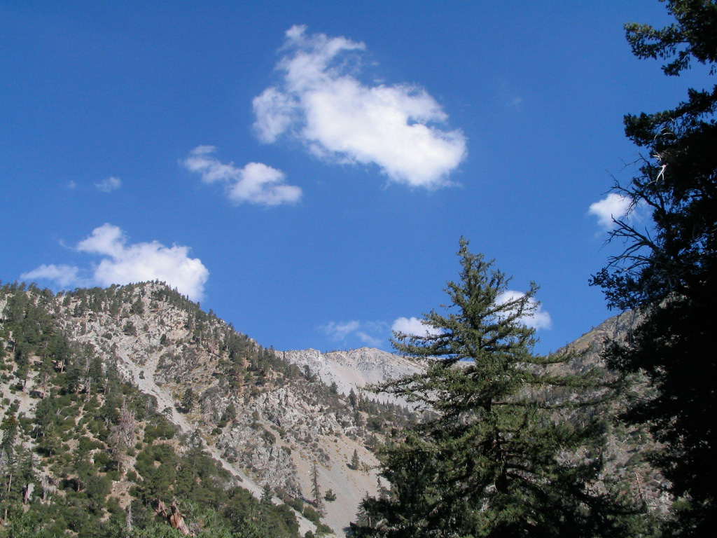
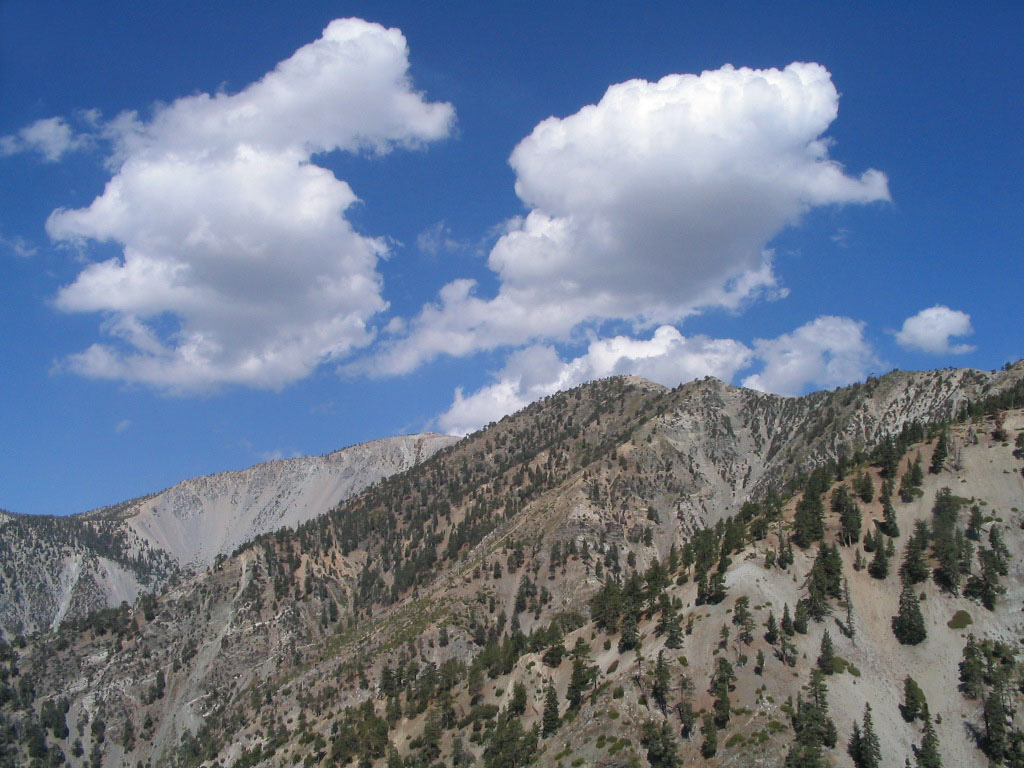
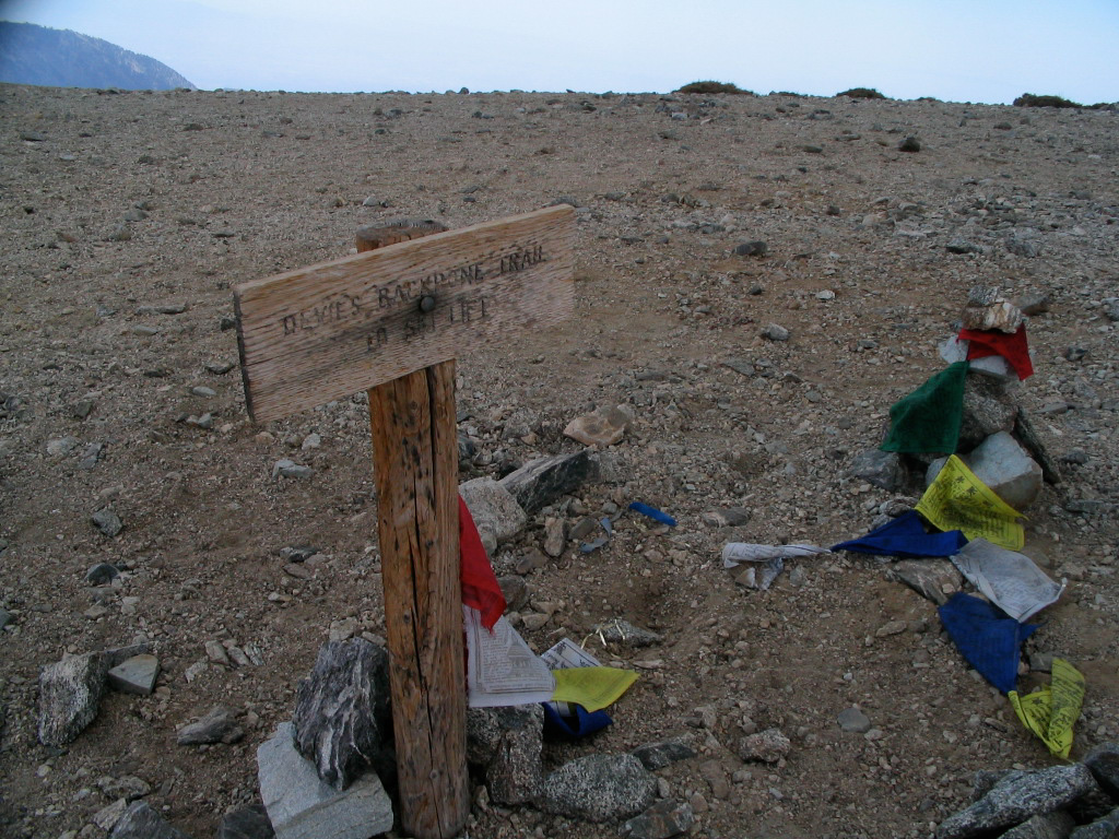
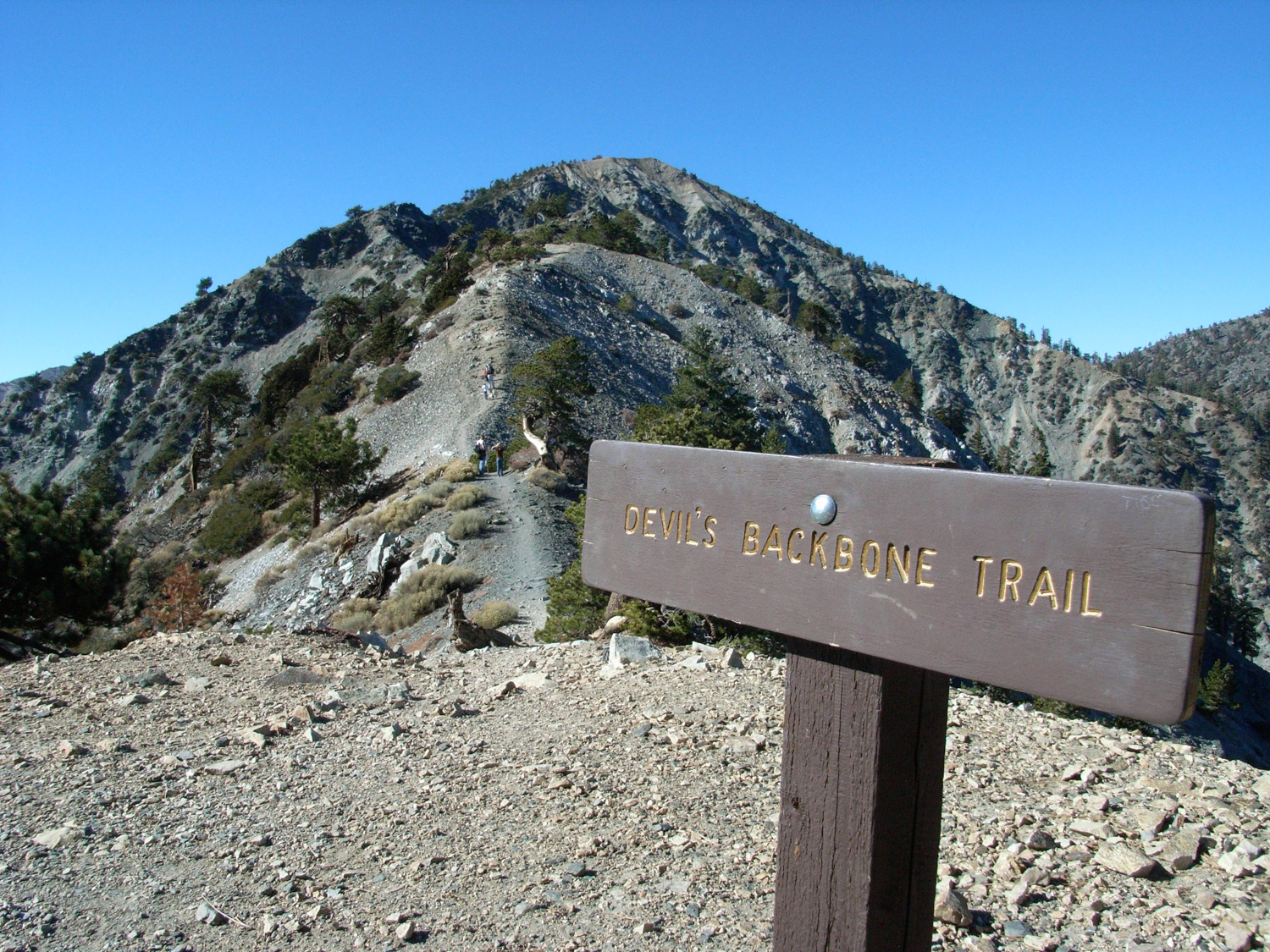
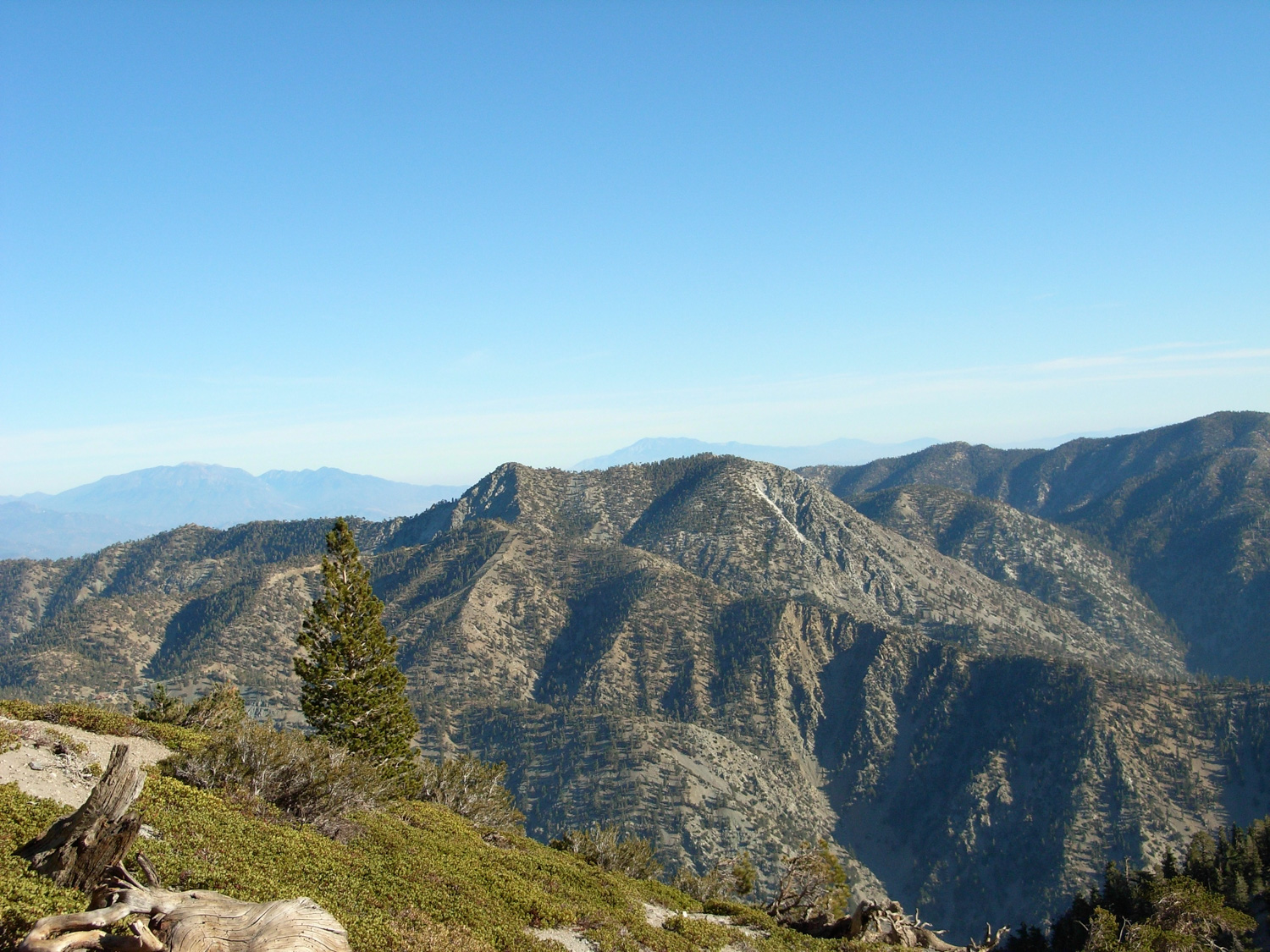
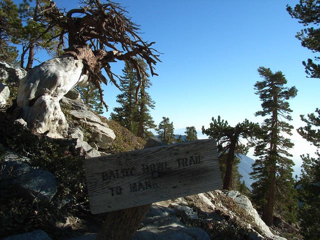
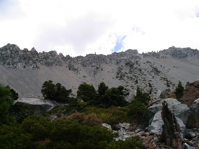
Generally if you head in a north-northwesterly direction, you’ll find the Backbone trail with no problems. It’s only right near the lodge that the trails and roads are unclear. Soon, you’ll reach a ridge that has a noticeably steep drop-off to the north. You’ll be looking across a deep, flat wash valley to the gray beast of Dawson Peak.


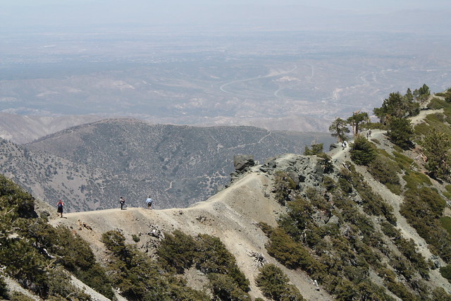
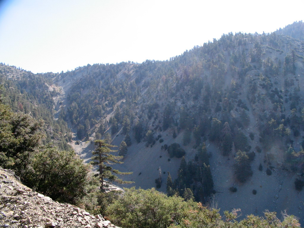
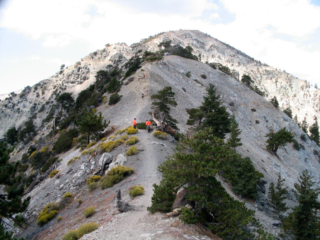
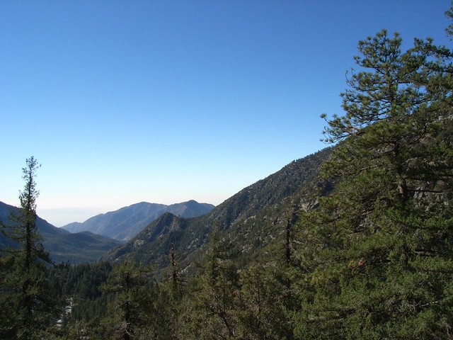
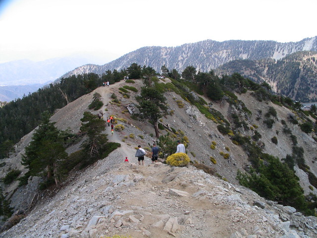
The first section of the Backbone literally straddles an east-west ridge between two steep valleys. It’s wide-enough at the start, but if you catch yourself looking down at the wrong time, it’s pretty easy to get a touch of the vertigo. This is a section of trail to treat with respect and take seriously. There’s a stretch after the first section that hugs a fairly steep cliffside where the trail thins considerably. It can be a little nerve-wracking for those with a fear of heights, but just take your time and stay calm. You’ll likely have more room than you thought you’d have, and soon you’ll be back on wider terrain.
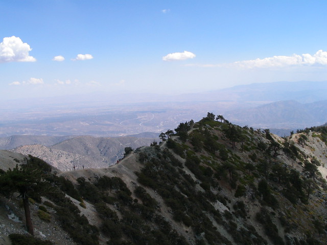
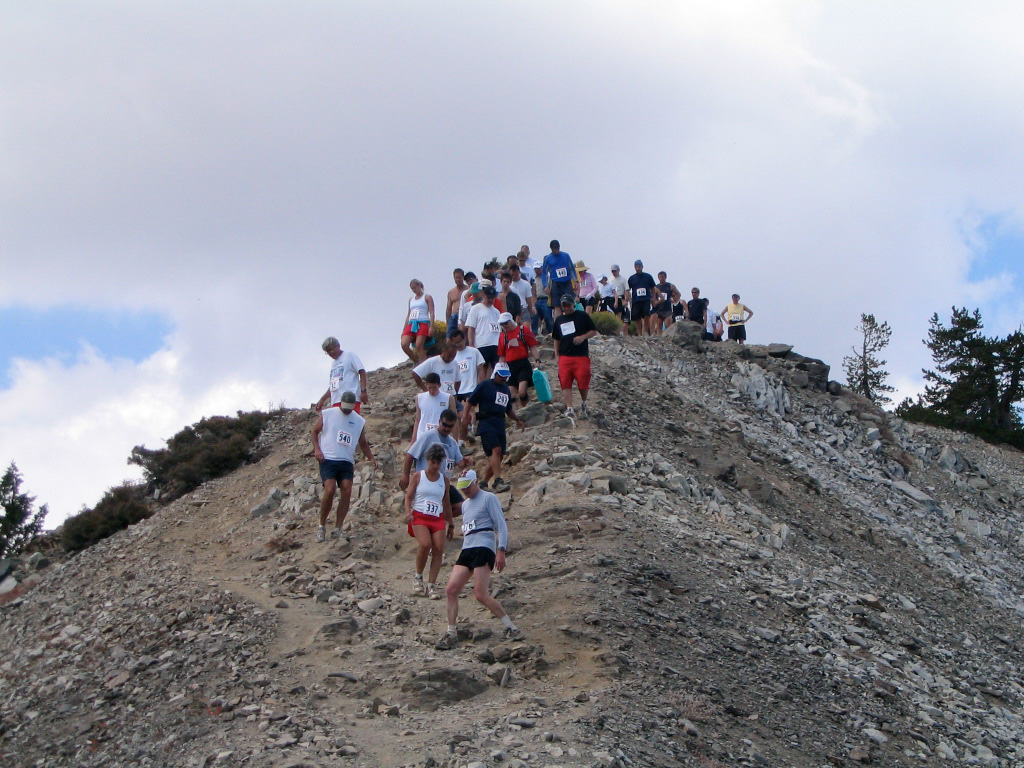
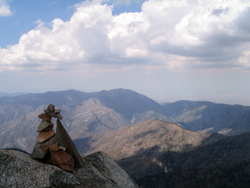
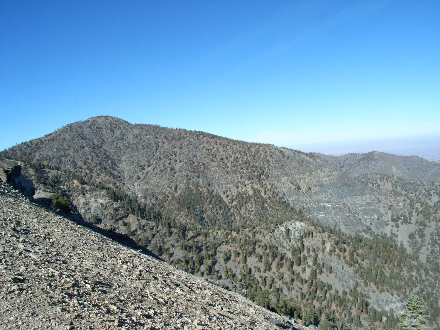
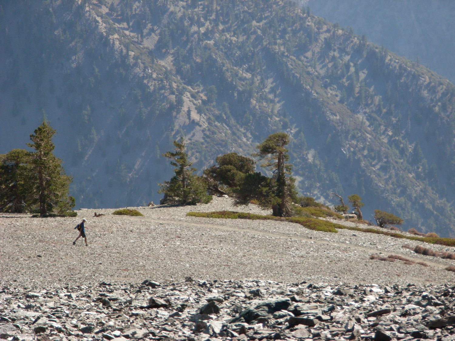
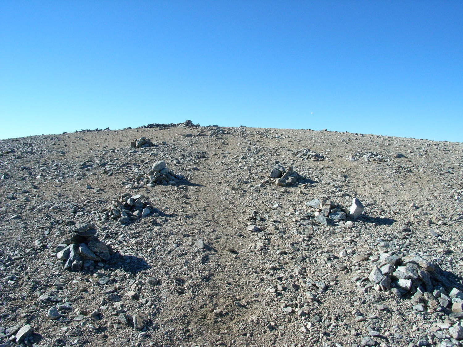
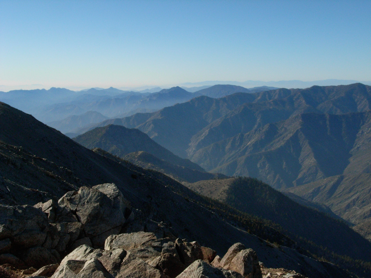
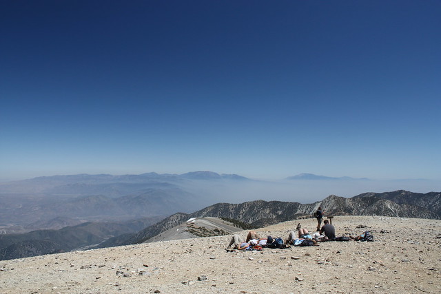
When the trail straightens out and heads directly toward the Baldy Bowl, you’ll see a steep, bare peak directly to your north. This is Mount Harwood. I took a cross-country talus scramble up to the top, just because it’s on the Hundred Peaks List and I hadn’t bagged it yet. It’ll give you a decent view of the approach of San Antonio, and is much less-visited than it’s bigger neighbor but it’s still worth a visit. Just mind your footing on the loose scree. This picture is from the summit, looking down at a fellow hiker who I’d just passed. It gives a nice scale to the scope of the surrounding landscape.

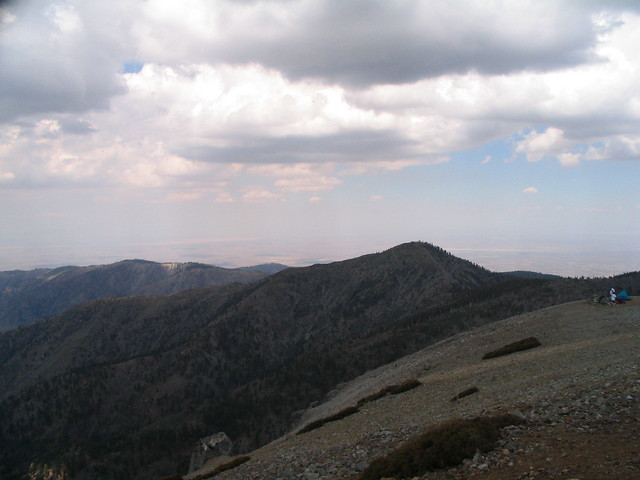
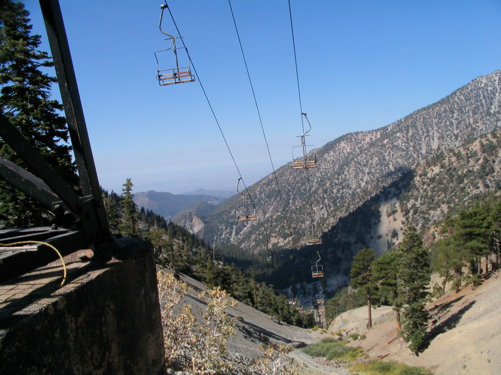
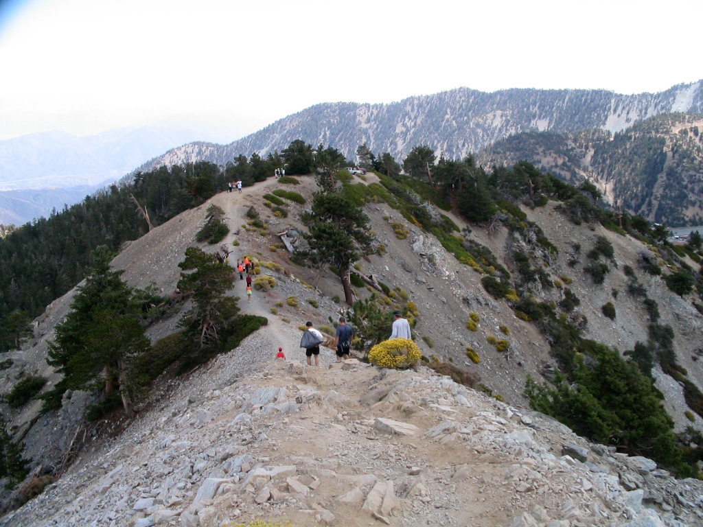
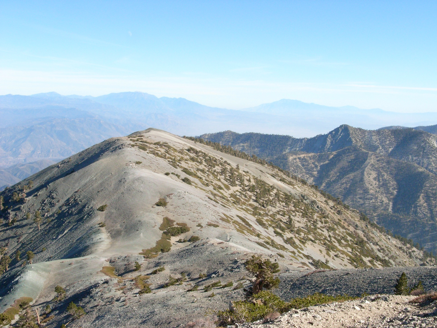
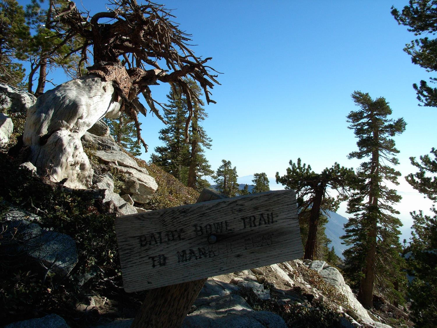
When you’re done taking in the views and / or recuperating from the climb, you can either head back to the Devil’s Backbone the way you came (and probably take the ski-lift down — no shame in descending), or you can take in some more of what Baldy has to offer by heading south from the summit onto the Baldy Bowl Trail. If you feel like you’re heading west along the ridge for too long, you’re probably on the Baldy Trail — a much longer route that will take you to Mount Baldy Village — far away from where you probably parked.
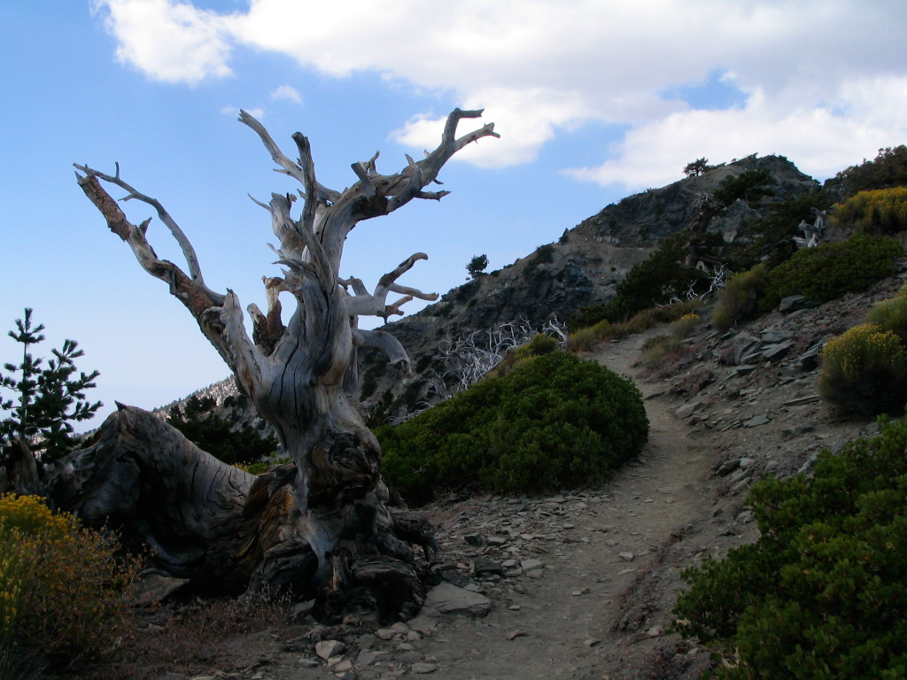
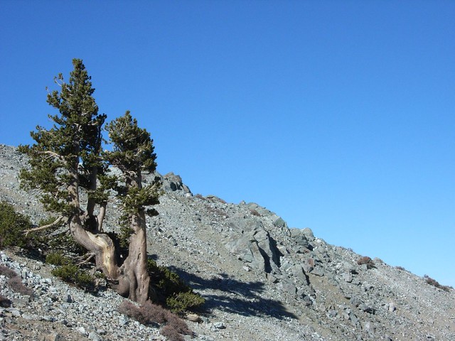
The correct route is a single-track that takes you just outside the western edge of the Baldy Bowl, as the landscape goes from windswept-lunar to slightly-less-windswept, populated with some interesting, twisted pines.
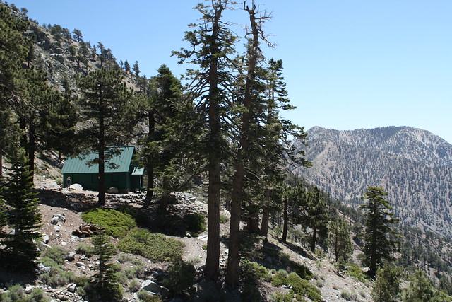
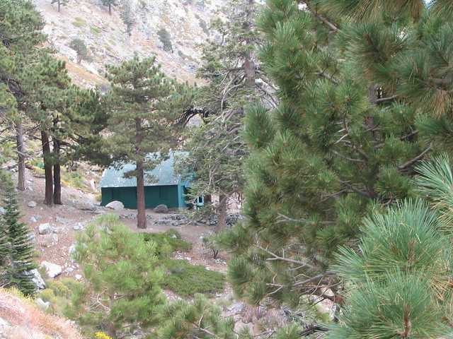
From there, the trail follows the contour of the Bowl past the Sierra Club San Antonio Ski Hut (where you can stay overnight for a small fee if you’re interested), and gradually makes its way back down to the Mount Baldy Fire Road, just east of San Antonio Falls.
And from there, it’s just a short walk back to Manker Flats, where you’ll most likely give yourself a pat on the back, take off your shoes, and head for the nearest source of cooked food you can find. (I dig the Mount Baldy Lodge on the way out).
And congratulations. You just hiked the highest mountain in Los Angeles County.
Tags: Angeles National Forest, Hiking, Hiking Devil's Backbone, Hiking Mount Harwood, Hiking Mt. Baldy, Hiking Mt. San Antonio, Hiking Old Baldy, Los Angeles, San Bernardino National Forest, Trail Write-Ups