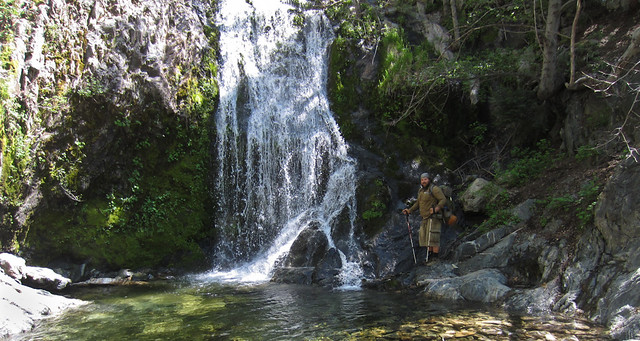
Cooper Canyon Falls is a beautiful and relatively easily-accessed waterfall in the San Gabriel high country. Just off the Burkhart Trail outside of the deservedly popular Buckhorn Campground, this is wonderful short day hike if you’re camping in the region, a great introduction to the high country, or a quick stop-over on the longer route to Will Thrall Peak (or, if you’re feeling extra adventurous, on the way to the Devil’s Punchbowl).
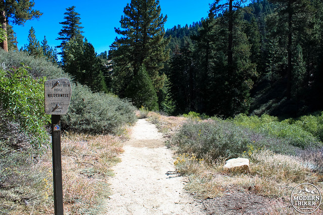
Begin at the end of the Buckhorn Campground, following the signs for the Burkhart Trail. There are a few parking spots near an outhouse and a very prominent trailhead sign, which also marks the Burkhart Trail as part of the High Desert National Recreation Trail, a 27-mile route from Buckhorn Campground to Vincent Gap via the Mojave Desert.
Now that you’ve gotten that business out of the way, it’s time to enjoy the hike!
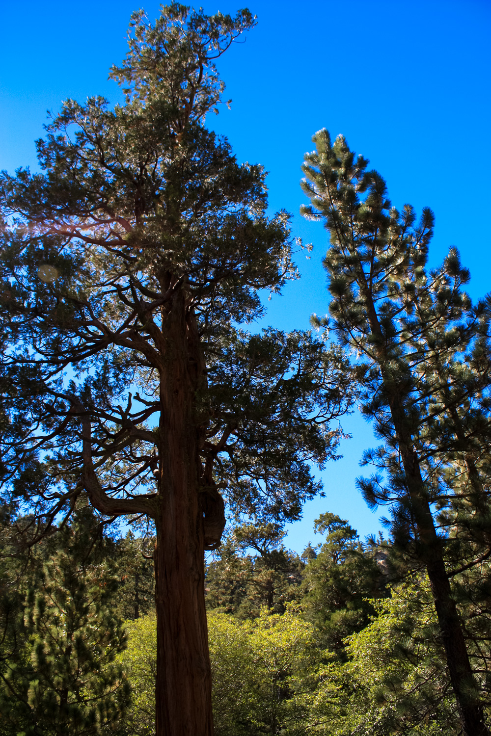
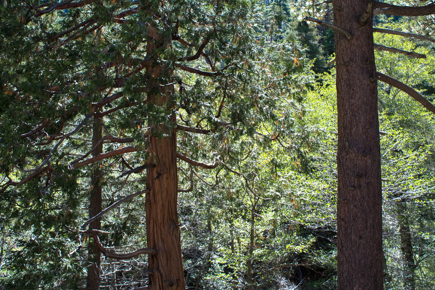
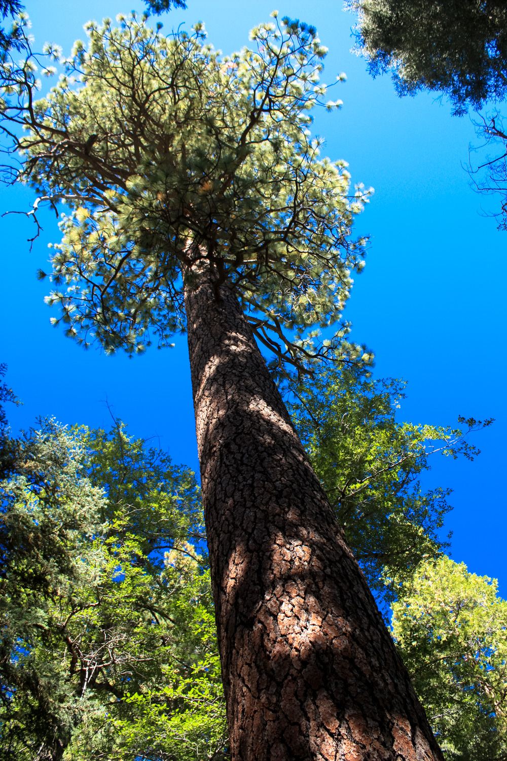
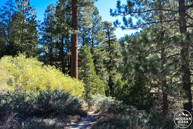
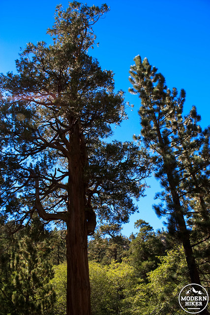
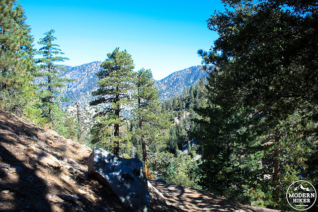
If this is your first time in the San Gabriel high country, you’re apt to be a little surprised. Unlike the more accessible and more heavily trafficked front range, the high country is short on the sage scrub and chaparral that make up the majority of the south-facing peaks in the range. Here, towering Douglas fir and Jeffrey pines dominate the landscape, while the higher elevations, northern slopes, and shaded canyons often mean significantly cooler temperatures than what you’d experience back in the city.
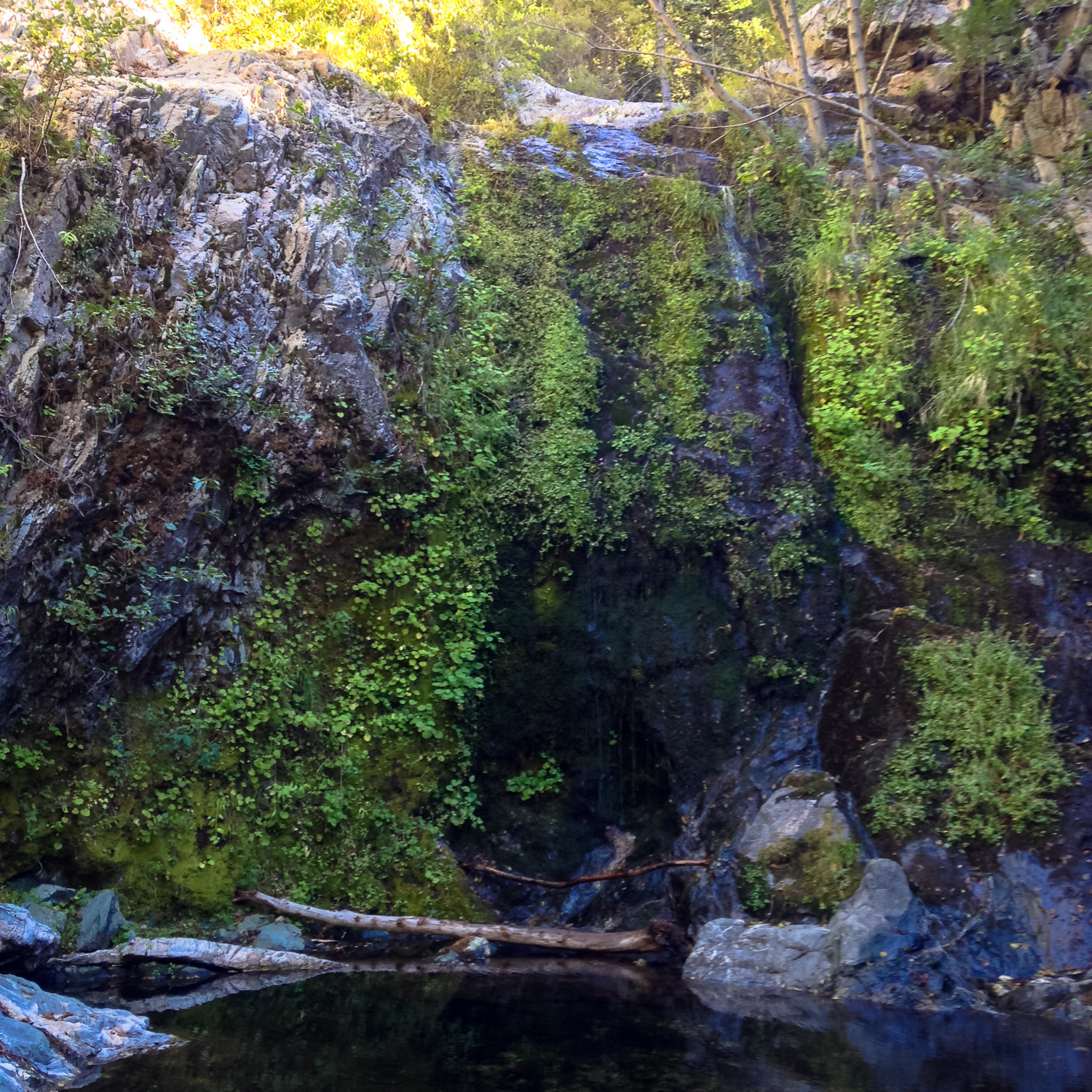
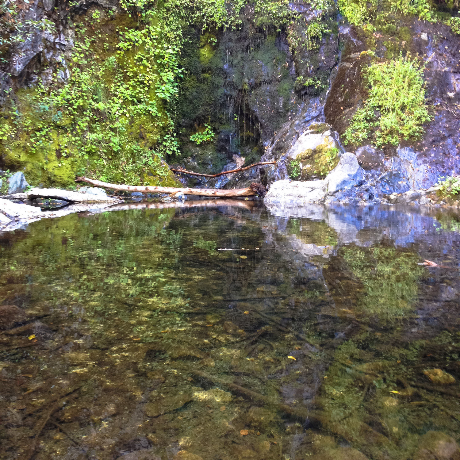
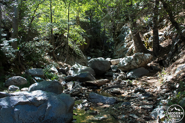
Even in the late summer at the tail end of an extended drought, there was plenty of green to go around here:
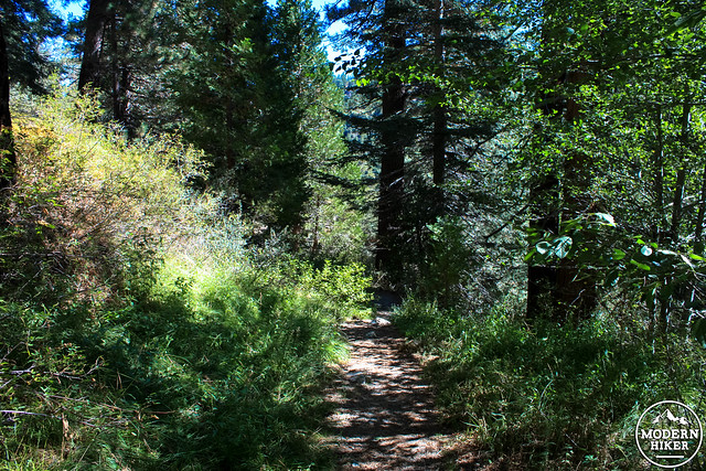
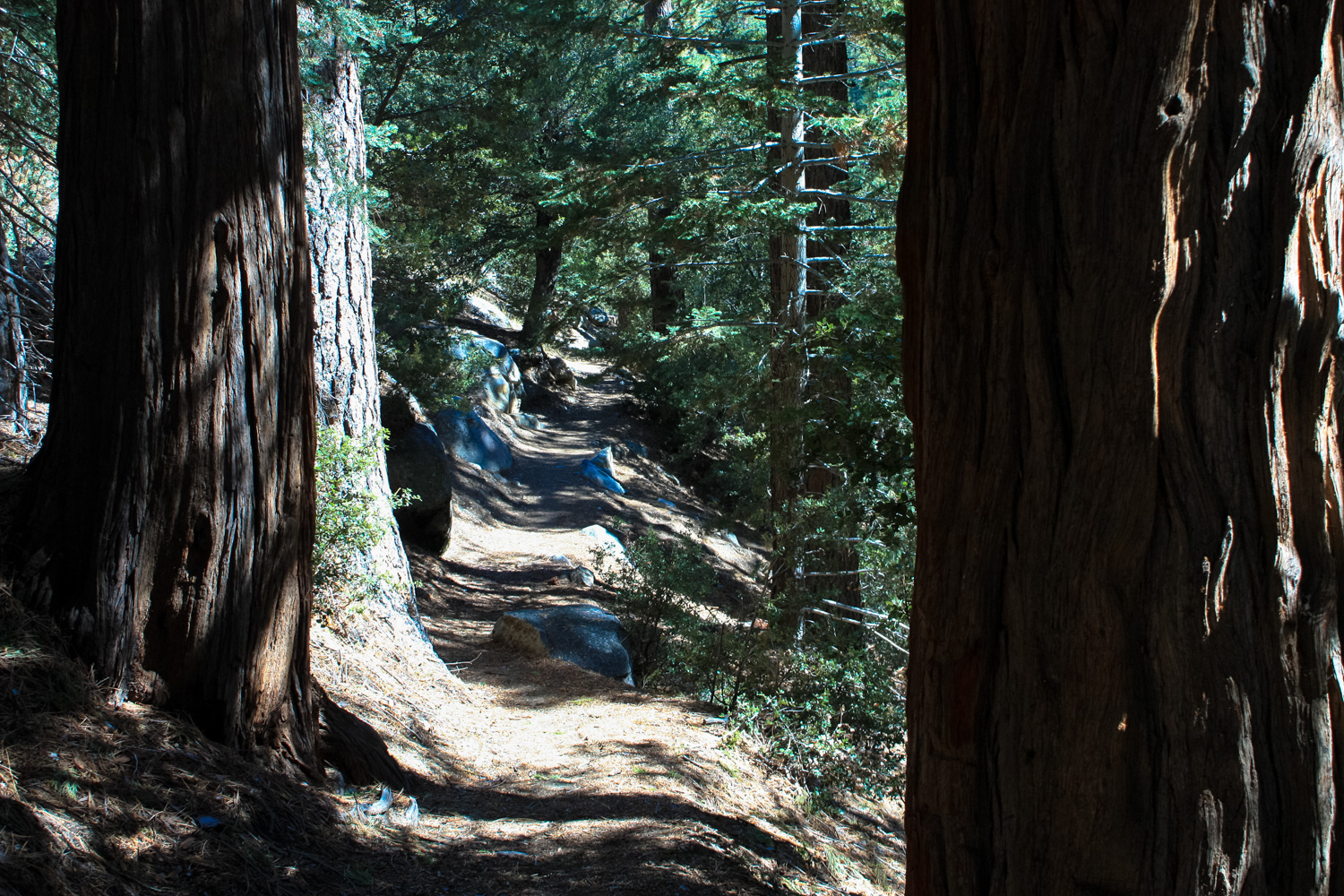
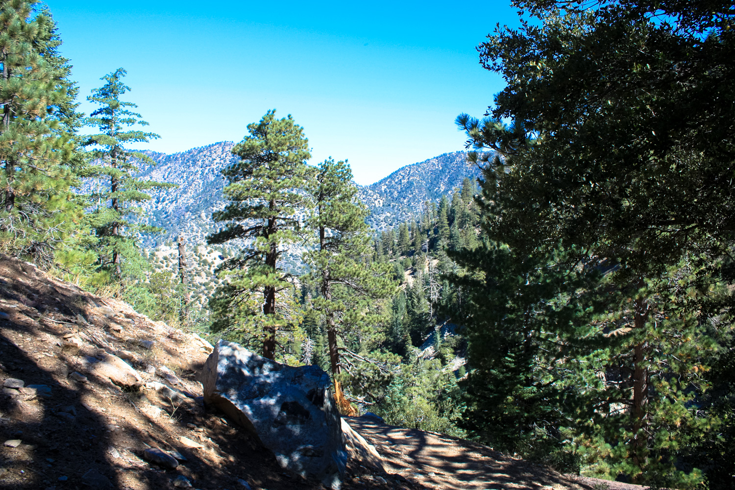
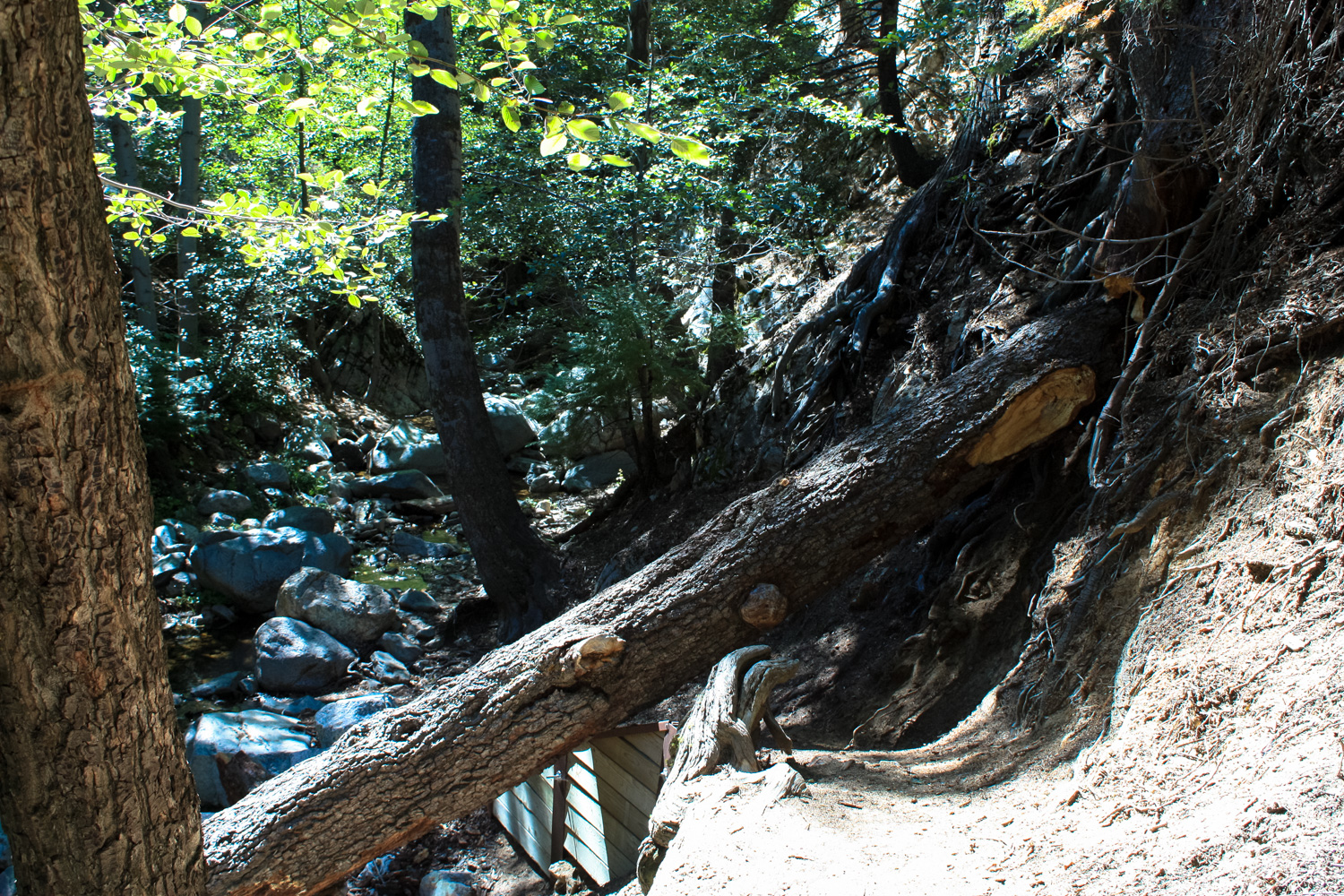
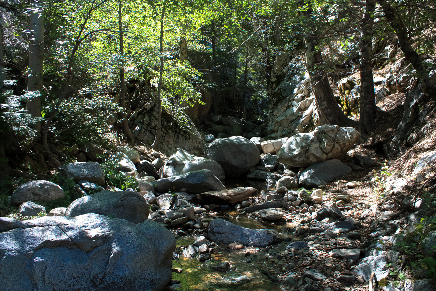
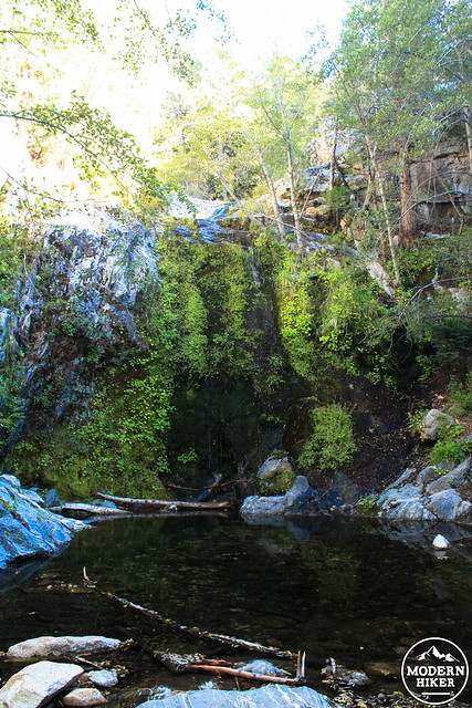
The trail continues following the creek north through gorgeously wooded and bouldered landscapes. When you get some breaks in the tree cover, you’ll be able to make out towering, rugged peaks in nearly every direction. All in all, it’s an incredibly lovely stretch of trail on the way to Cooper Canyon Falls.
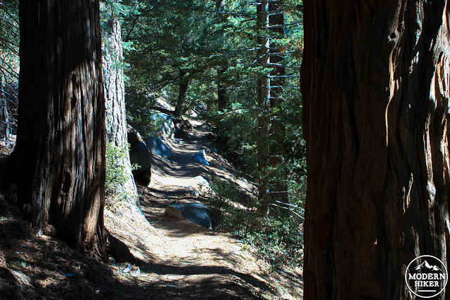
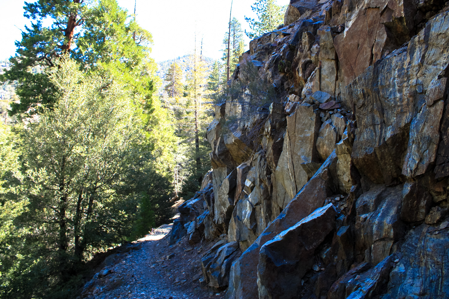
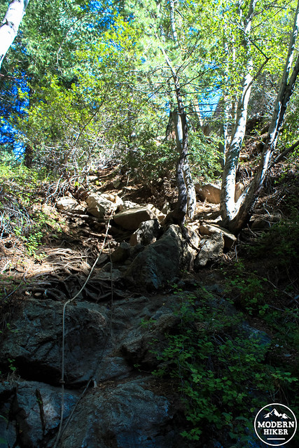
The trail makes a steady but moderate descent and hops across a creek bed at the 1.3 mile mark. At 1.4 miles, stay right at the junction to hop onto the Pacific Crest Trail / Silver Moccasin Trail for a hot minute.

At just past the 1.5 mile mark, the trail makes another descent while the creek flows to your left. Look for a well-worn series of use trails descending to the canyon floor at this point.

When you’re done, return back to the trailhead the way you came in.
For an extra challenge, consider hiking to Will Thrall Peak, or continuing the Burkhart Trail all the way to the Devil’s Punchbowl (assuming you’ve arranged an extra long car shuttle). You can also take the PCT west along Cooper Canyon, which will put you out on the Angeles Crest Highway near Cloudburst Summit. A walk east along the Angeles Crest will return you to Buckhorn Campground.
Tags: buckhorn campground, Burkhart Trail, cooper canyon falls, high desert national recreational trail, Pacific Crest Trail, Silver Moccasin Trail