For those who think the Los Angeles region is devoid of history, the trails in the front range of the San Gabriel Mountains offer a resounding riposte. You can trek along ancient trade and communication routes near the Arroyo Seco traveled by the Gabrieleno and Tongva tribes thousands of years before European settlers arrived, visit active pack mule stations and the oldest U.S. Forest Service structure in its original location, trek to the ruins of a series of sprawling mountaintop hotels connected by impossible railways, and stand where Cold Warriors manned a ring of early-response stations to (ostensibly) protect L.A. from a nuclear strike from those dang Commies across the Pacific.
Of course, mining is an important part the history of the West, and the San Gabriel Mountains are no exception. Here in upper Millard Canyon, above the cities of Pasadena and Altadena, hikers can trek through a rugged and rustic riparian canyon to the ruins of the Dawn Mine — an operation that, unlike most in this region, was actually mildly successful for a short time. Along the way, you’ll have lovely shade, tackle a tough climb, and (if the air is clear) soak in some tremendous views of the foothill cities from a lofty perch along one the historic Mount Lowe Railway. Not bad for a 6-ish mile day hike, right?
This hike starts at a pretty small trailhead near the intersection of the Chaney Trail and Mount Lowe Road. Parking here can be scarce, but if the trailhead is full don’t worry — for a bit of extra elevation gain, you can park near the much larger trailhead for Millard Canyon and trek up on the start of the Sunset Ridge Trail. (Note: a use-route may exist above Millard Canyon Falls that will reach the canyon portion of this route, but at the time of writing this canyon was still being worked on by Forest Service and volunteer trailbuilding crews, repairing damage done by the 2009 Station Fire and subsequent mudslides.)

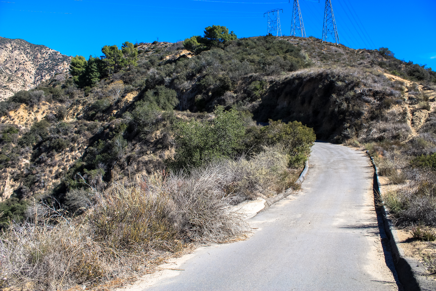
Look for this gate and be sure you’re not parked in the striped area — this road is still active and you’re likely to get ticketed or towed if you’re blocking the gate. At 0.1 mile, you’ll see a paved road branching to the south as well as the Sunset Ridge Trail coming up from the canyon floor to the north. Stay on the paved road heading straight (east), and at the 0.4 mile mark, take a left onto the Sunset Ridge Trail, which branches off from the Mount Lowe Road near a large toyon bush.


looking south toward Pasadena

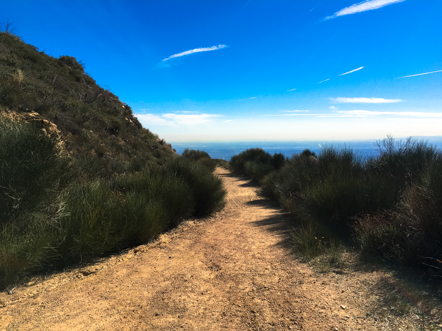
the Brown Mountain Truck Trail winds its way west
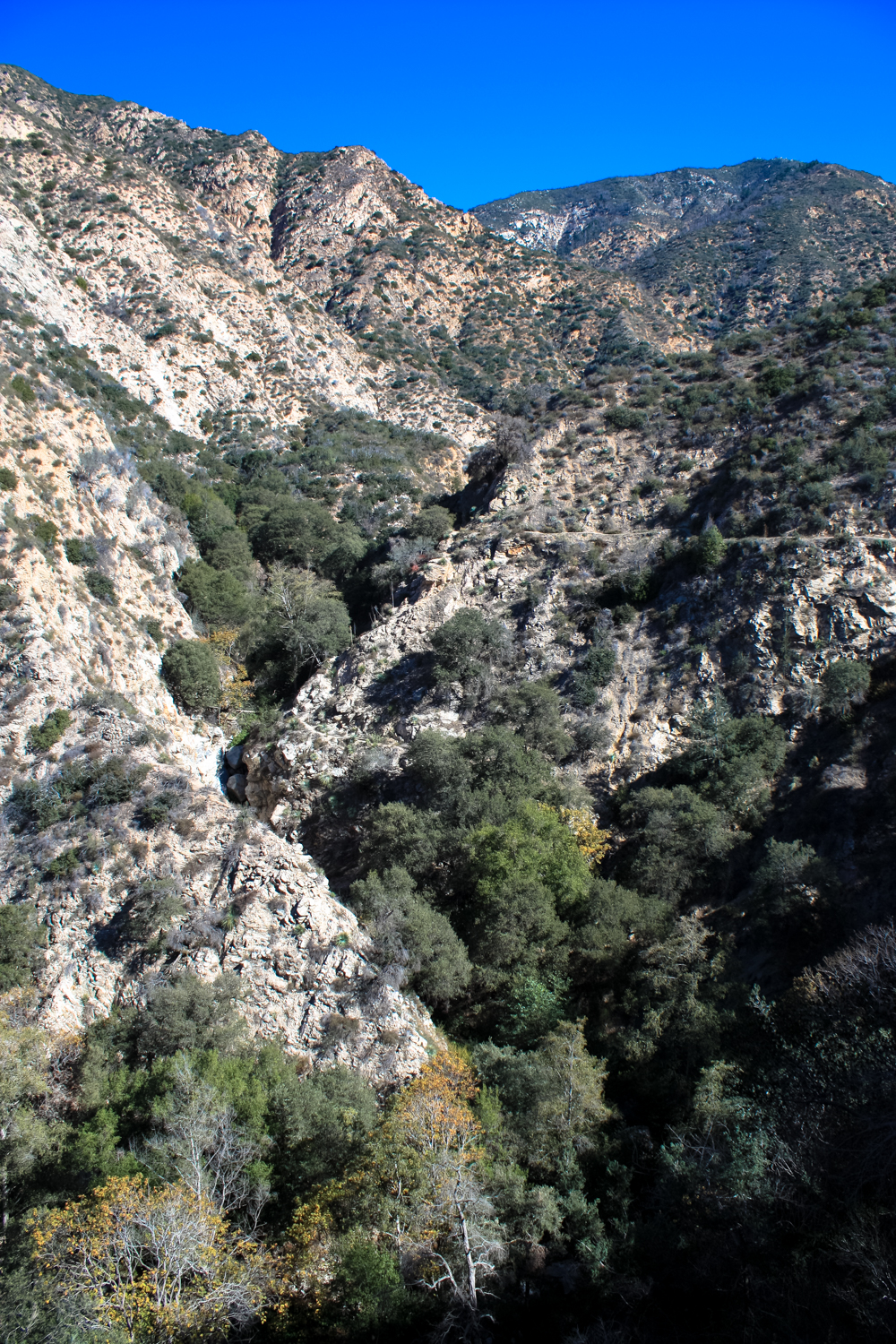
The now single-track trail remains relatively level here, while the road will continue climbing upward. You’ll start to get a bit of shade — helped by the fact that you’re on the north slope in a reliably wet canyon, stocked with stately oaks and sycamores. From above, you’ll have a good vantage point on just how much the Millard Canyon Creek affects the vegetation here — low chaparral and the tell-tale crumbling rock found all over the San Gabriels dominates the steep slopes, while dense pockets of green hug the arroyos and creeks near the canyon floors.


At 0.9 mile, keep to the left to hop onto the Sunset Trail, which splits from the Sunset Ridge Trail to dive a bit deeper into Millard Canyon.
You’ll cross an old iron bridge and dip down to the canyon floor shortly after this junction, and here the trail winds its way in and out of the creekbed — which means you’ll want to keep an eye out for poison oak and if we’ve had a wet winter, you may also encounter a bit of water flow here.

You’ll pass a few old cabins in this canyon, reminiscent of those you’ll find in greater numbers in Santa Anita Canyon a bit further to the east. In the early 20th century, people could lease these plots from the Forest Service and many artists and outdoorsy types spent great amounts of time in the region. As with most similar situations in the San Gabriels, fires, floods, and mudslides have reclaimed most of these buildings, although a few do remain.

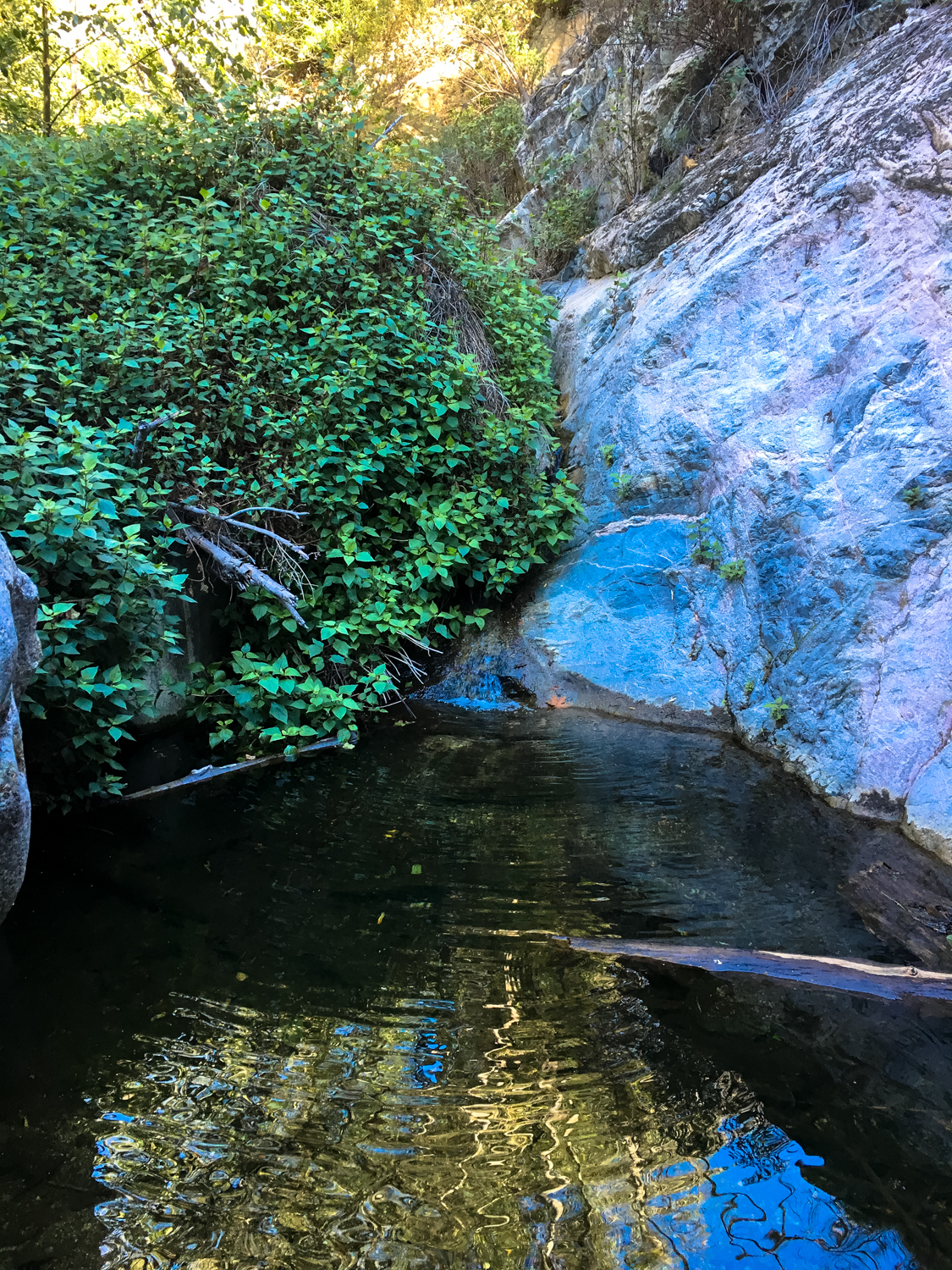
There’s a quick climb at the mile mark, and look for a small check dam and another climb up in another 0.1 mile. Also, keep an eye out for nice swimming holes and pools (which might have fish in them, depending on the time of the year and the amount of rain we’ve had), as well as diminutive monkeyflowers tucked away into rocky corners.

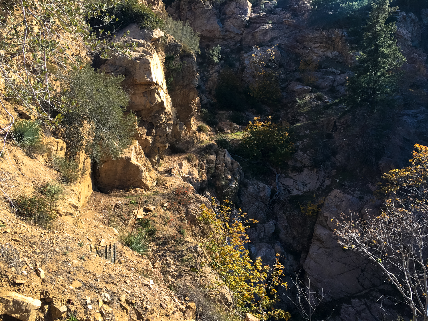
Just past the check dam, keep to the left of the canyon floor for another quick climb, and at the 1.1 mile mark, you’ll notice another canyon branching off to the north. This is the Saucer Branch, and although there is no established trail here you can follow a rough use trail (and do a bit of careful bushwhacking) a short distance north. During the wet season, a cascading waterfall tumbles just off the main trail here — but otherwise you’ll likely just see a trickle.

As you can see, the terrain here is not the easiest to hike through. If you’re trying to spot some falling water, only go as far as you can confidently travel. To get to a viewing point, you shouldn’t need to do anything other than navigate some tangled branches on fairly even ground.
In the 1920s, an unknown prospector ran what John Robison called “a small, hazardous gold mining venture” in this canyon — just one tunnel and a few surface-level branches. The prospector who worked the vein built an incredibly unique, cable-suspended cabin that rested against a rock wall but was otherwise pretty much hanging over thin air. Needless to say, that cabin only lasted a few years before being completely swept away in a rockslide.
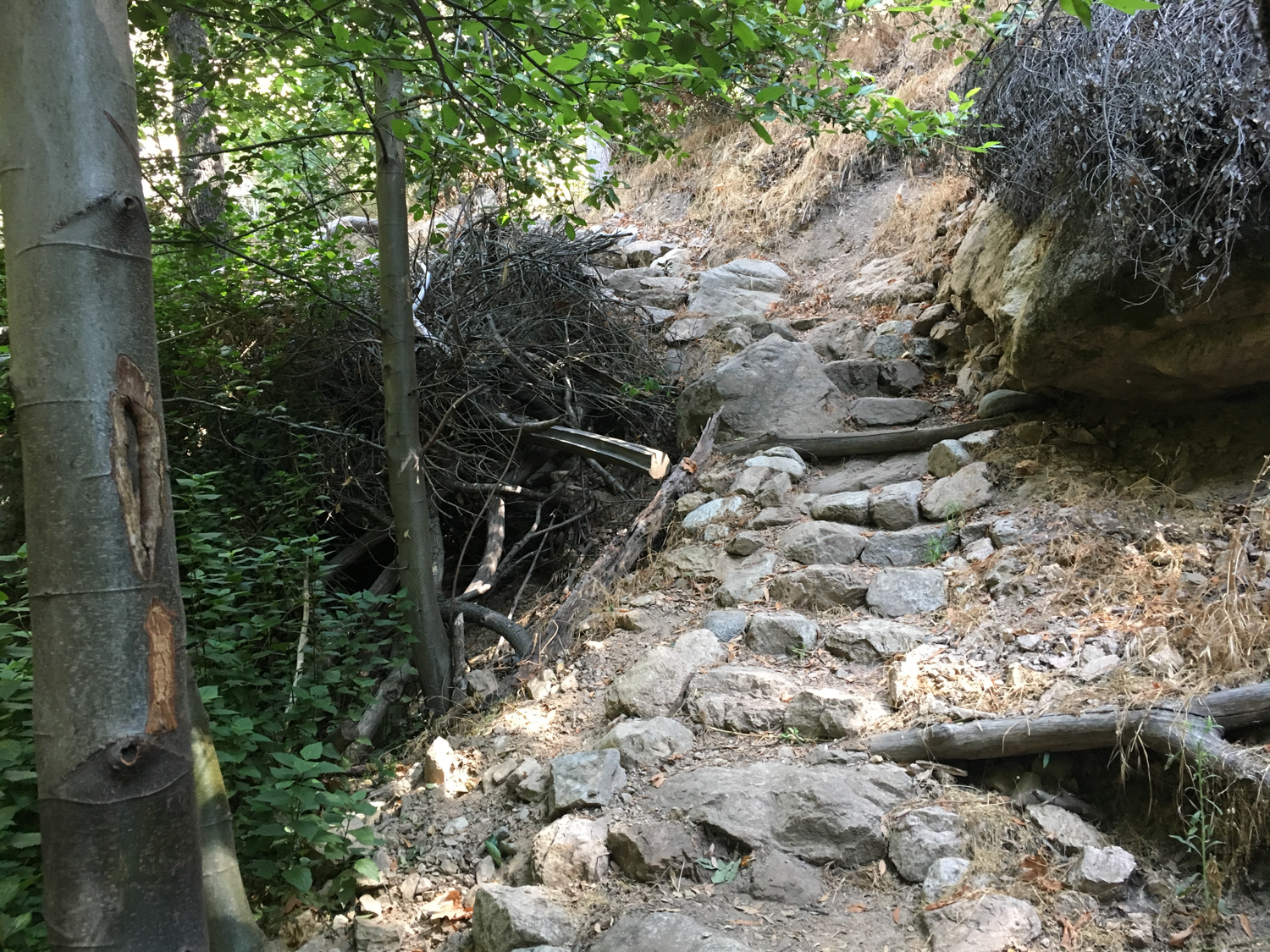
Hop back into the main canyon trail and continue east, passing a retaining wall at 1.3 miles. Beyond this, the trail begins a slow but steady climb upward to the Dawn Mine site.

The trail travels over an old retaining wall
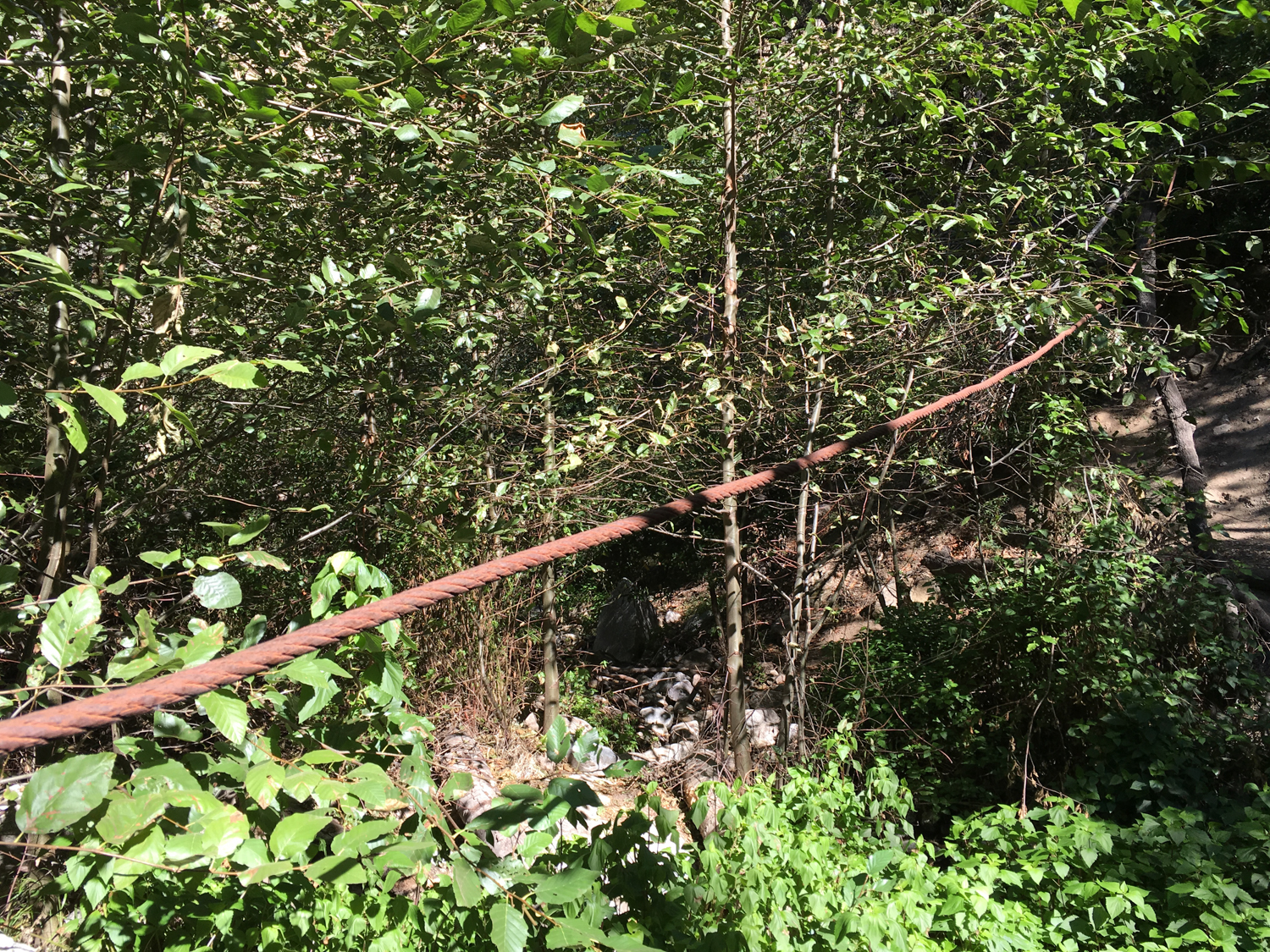
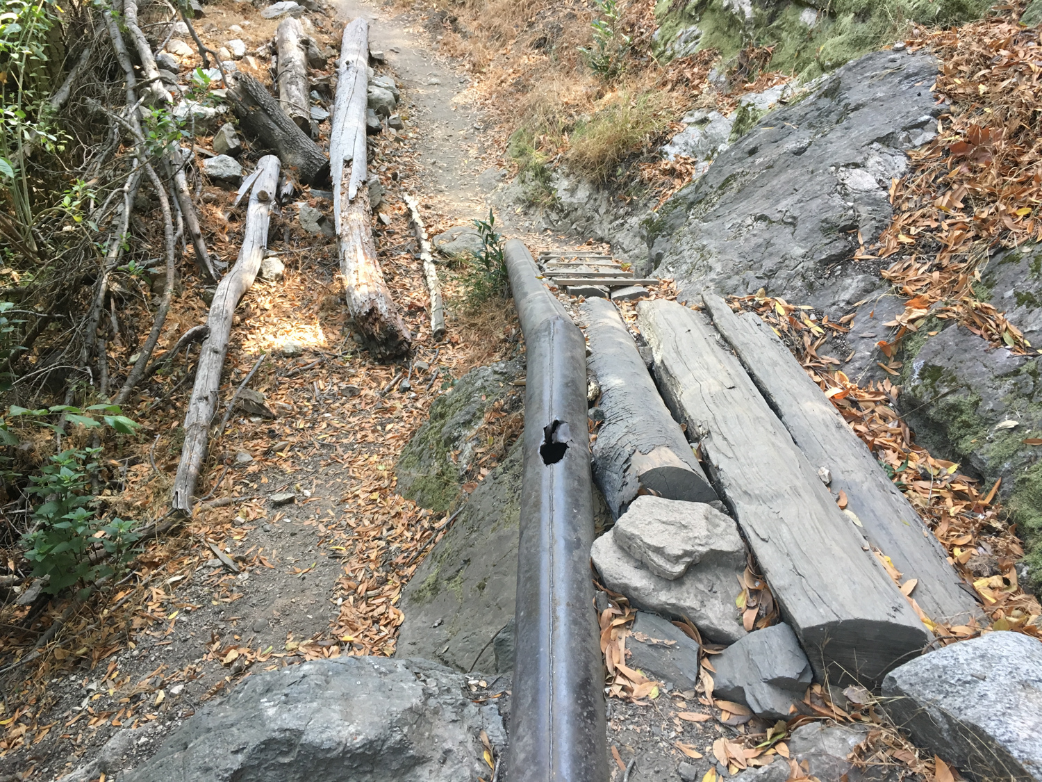
At this point, you may start to see more and more remnants of the area’s mining past. Cart wheels and other equipment can be found scattered along the canyon floor, and you’re likely to also find old water pipes and cables strung across the canyon itself.


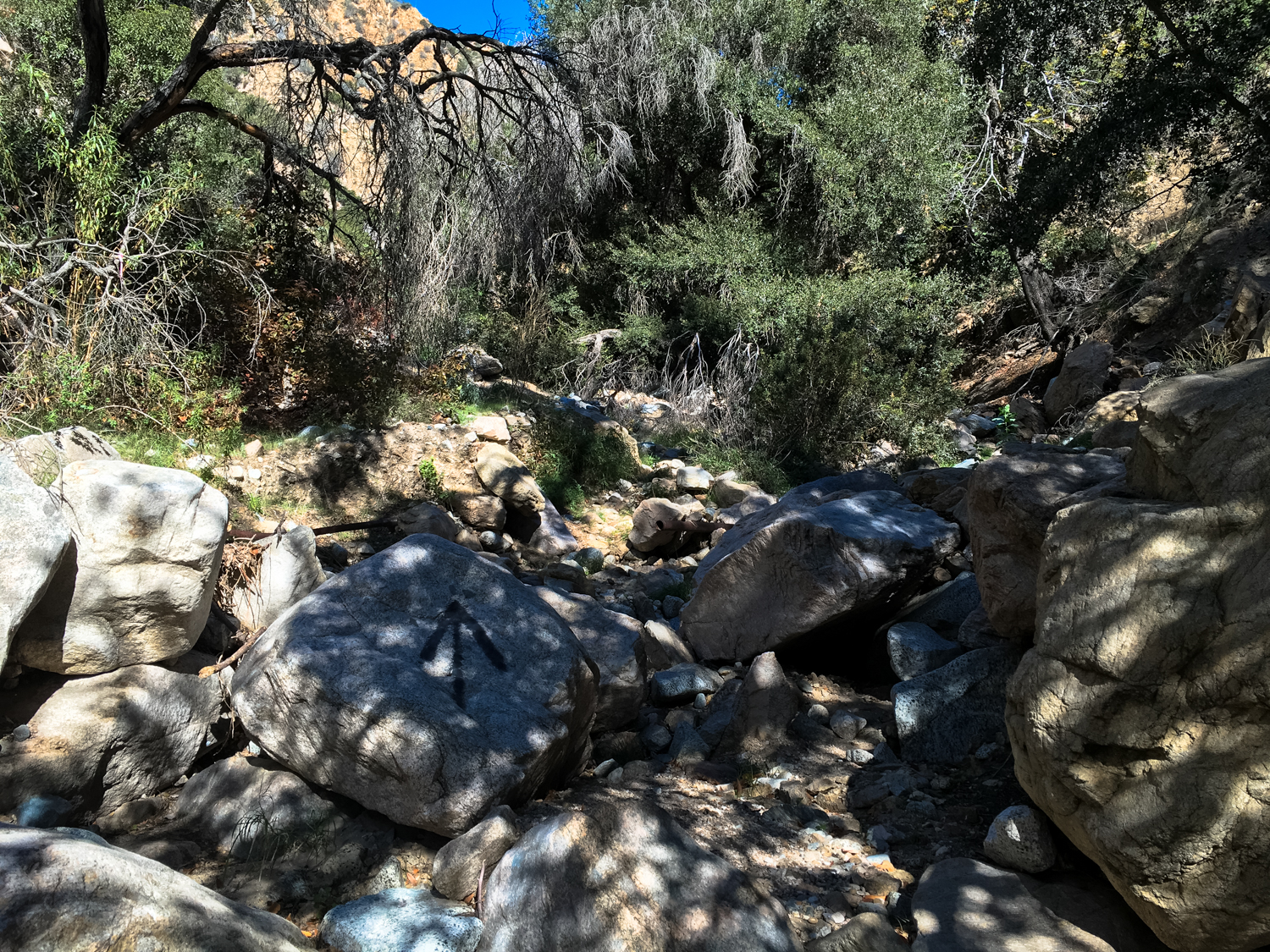
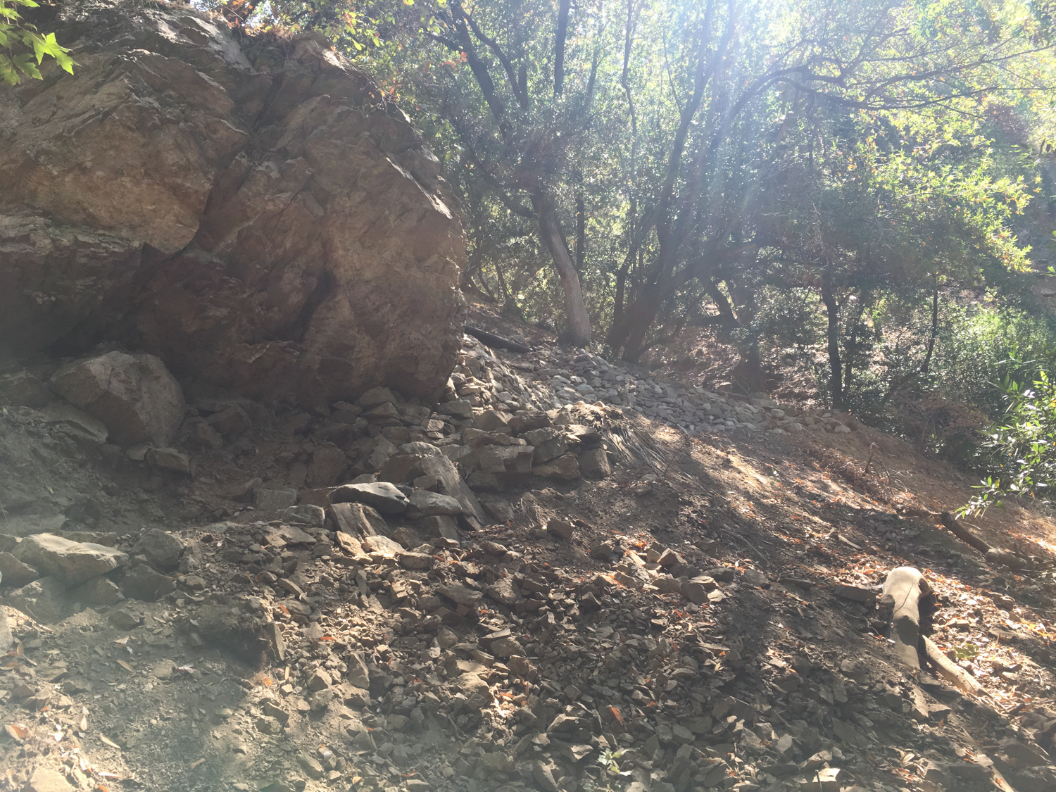
At 1.6 miles, where it seems like the trail vanishes suddenly, just look for a route that climbs upward and continue pushing north. At 1.7 miles, a large collection of boulders has filled up most of the canyon, requiring a bit of light (but easy) scrambling and climbing to get past.

After this, the canyon opens up a bit — providing a short break of sunshine before diving back down into the heavily forested shade.
It’s rugged trail climbing to about the 2.2 mile mark, where you’ll note a large pipe and a larger amount of old mining debris on the canyon floor. The trail makes a sharp turn west, then north again, and you’ll be at the Dawn Mine site — although its presence isn’t readily apparent to first-time visitors. Look up and to the northwest and you’ll spot some old equipment cemented into the side of the canyon wall. The mine entrance is just beyond this.

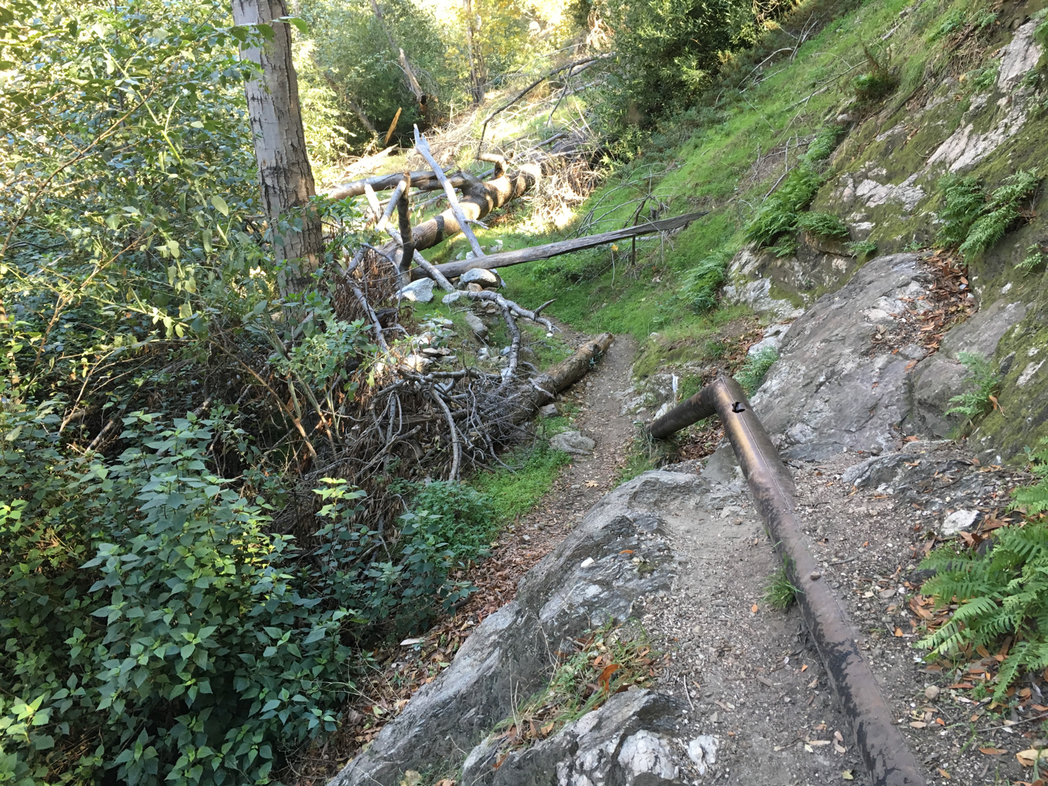
A pipe obstacle that was recently removed by trail crews


the entrance to the mine, 2016
Due to vandalism (and just general danger), the entrance to the Dawn Mine was sealed in mid-2017.

photo courtesy Restoration Legacy Crew
The Dawn Mine was built in 1895 and saw minor success pulling gold out of the San Gabriels but was hindered by its remote location. In 1902, an experienced Australian miner named Michael T. Ryan further developed the mine, adding additional tunnels and building a trail up to the Mount Lowe Railway. According to legend, Ryan hauled the ore up the steep incline (which you’re about to experience) on the the backs of two burros named Jack and Jill to Dawn Station. There, the ore was loaded onto the Mount Lowe Railway, brought down via the Echo Mountain incline, and hauled to the Valley for processing on the Pacific Electric tracks.
It sounds kind of complicated but it sure beat trying to navigate Millard Canyon with all that ore, and Ryan did turn a modest profit on the mine during this period.
Ryan died in 1929 and the mine sat silent for several years, until his widow sold it to another company that built even more tunnels and even constructed a mill in the canyon. They caught a few lucky strikes but not the mother lode they were hoping for.
The Dawn Mine passed hands a few more times throughout the 40s and 50s and, as Robinson writes in Mines of the San Gabriels, “followed a familiar pattern: initial promise, hard work, diminishing returns, and abandonment.” The mine ceased all operation in 1954.
After you’ve explored the old mining grounds, cross the canyon floor directly across from the Dawn Mine and climb up to a low ridge. Look for a trail that heads to the northeast along the canyon floor but keep your eyes peeled for a steep ascent at about the 2.3 mile mark. Keep left just beyond this incline and make a sharp switchback to the right at 2.4 miles to start your climb up to Dawn Station.

it’s steep
This stretch of trail is steep — and you’re leaving the cover of the riparian canyon so get ready for the hike to heat up, too.
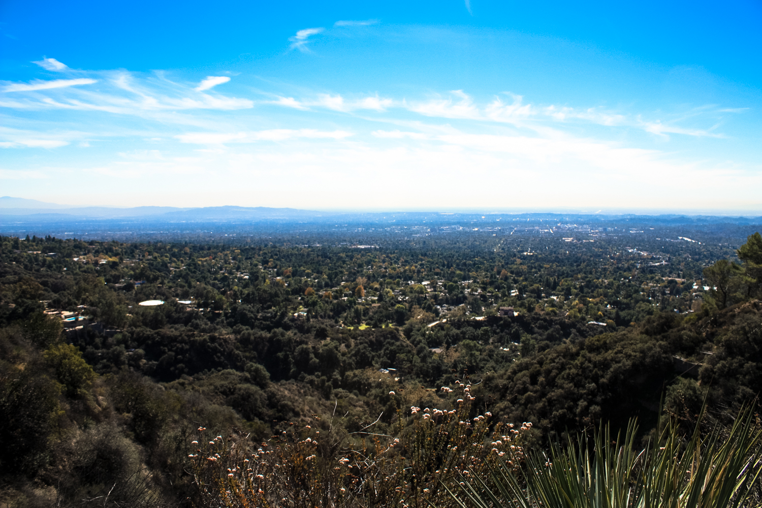
If it’s any consolation, though, you’ll have really lovely views of the rest of Millard Canyon and civilization below — and, you know, you’re not hauling a shipment of gold ore on your back so difficulty is all relative, right?


You’ll reach Dawn Station just before the 3 mile mark. From here, follow the old Mount Lowe Railway route south to the Cape of Good Hope at 3.2 miles. The connection with the Echo Mountain Trail is just a bit further to the south. Stay on the wider Mount Lowe Drive until 3.3 miles, when you’ll keep to the right to rejoin your old friend the Sunset Ridge Trail.

the Mount Lowe Railway route and the Cape of Good Hope
The Sunset Ridge Trail switchbacks on the north side of the ridge here, and it’s a really fun trail to hike. It was recently restored with the help of the Concerned Off Road Bicyclists Association and the route remains a popular biking trail, so be a courteous trail user and make sure to share the trail! Cyclists are technically supposed to yield to hikers, but in practice it’s often just easier for hikers to step aside with a friendly hello. Whatever you decide, just remember everyone is out here enjoying the San Gabriels!
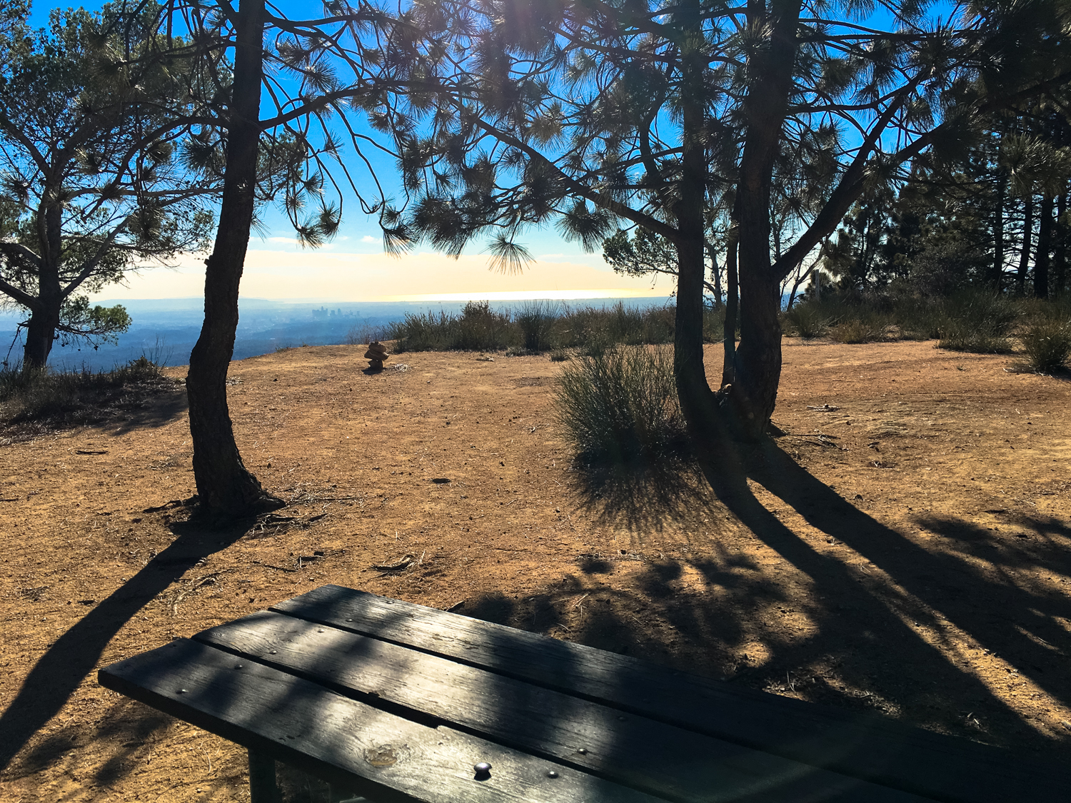
It’s a steady, switchbacking descent back down to the trailhead, but if you need a break, the Camp Sierra picnic area is at 4.1 miles. It has some decent pockets of shade and exceptional views.

Camp Sierra
Continue downward on the Sunset Ridge Trail, which comes very close to the Mount Lowe Road near the 4.5 mile mark. You’ll rejoin the Sunset Trail at 5.1 miles, closing the ‘lollipop loop’ of this route. Continue backtracking west (the way you came in) back to the trailhead.
Tags: camp sierra, dawn mine, dawn station, millard canyon, mining, mount lowe railway


