Moderate

San Gabriel Peak

Distance 3.8 mi
Time 1.5 hrs
Elevation Gain 1185 ft
Season Spring, Summer, Fall, Winter
Hike Info Hiker Info
Weather

A short, steep, switchback-sprinkled trail up the north face of Mount Disappointment to San Gabriel Peak. You’ll pass an old Nike Missile Station and end your hike on a small peak with some nice 360-degree views. This is a fairly easy, shaded, and short hike, with great views (on clear days) and several opportunities to knock some other peaks off your list.

A friend and I decided to tackle San Gabriel Peak after a winter storm left a light dusting of snow. We drove through the Angeles Crest Highway, turned at the Mount Wilson Road, and parked in a small lot on a short side road.

The trailhead looks like a mess, but I promise it’s really easy to find the Bill Reilly Trail. You should be able to make out some of the stonework that holds the trail up just south of the small parking area.
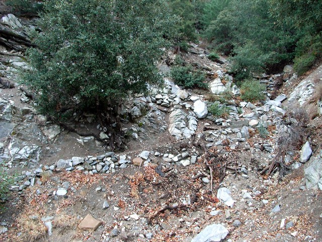
Trailhead
The trail meanders along several switchbacks and gains elevation quickly – about 200 feet in the first third of a mile. But soon the trail loops around to the west and enters some nice cover from tree and brush.

We hiked at a steady pace through the forested sections of the trail, but every time we popped out on the western ridge and faced the snow-capped mountains in the distance, we had to stop and gaze for a few moments.
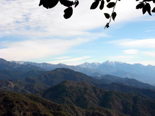
West Peaks
The San Gabriels are beautiful when they’ve got a little bit of snow on them, and it seemed that most of the peaks above 6000 feet got a pretty good dusting overnight.

It does, however, mean that a lot of those higher mountains are probably off-limit to me for a little while … or until I buy some crampons.

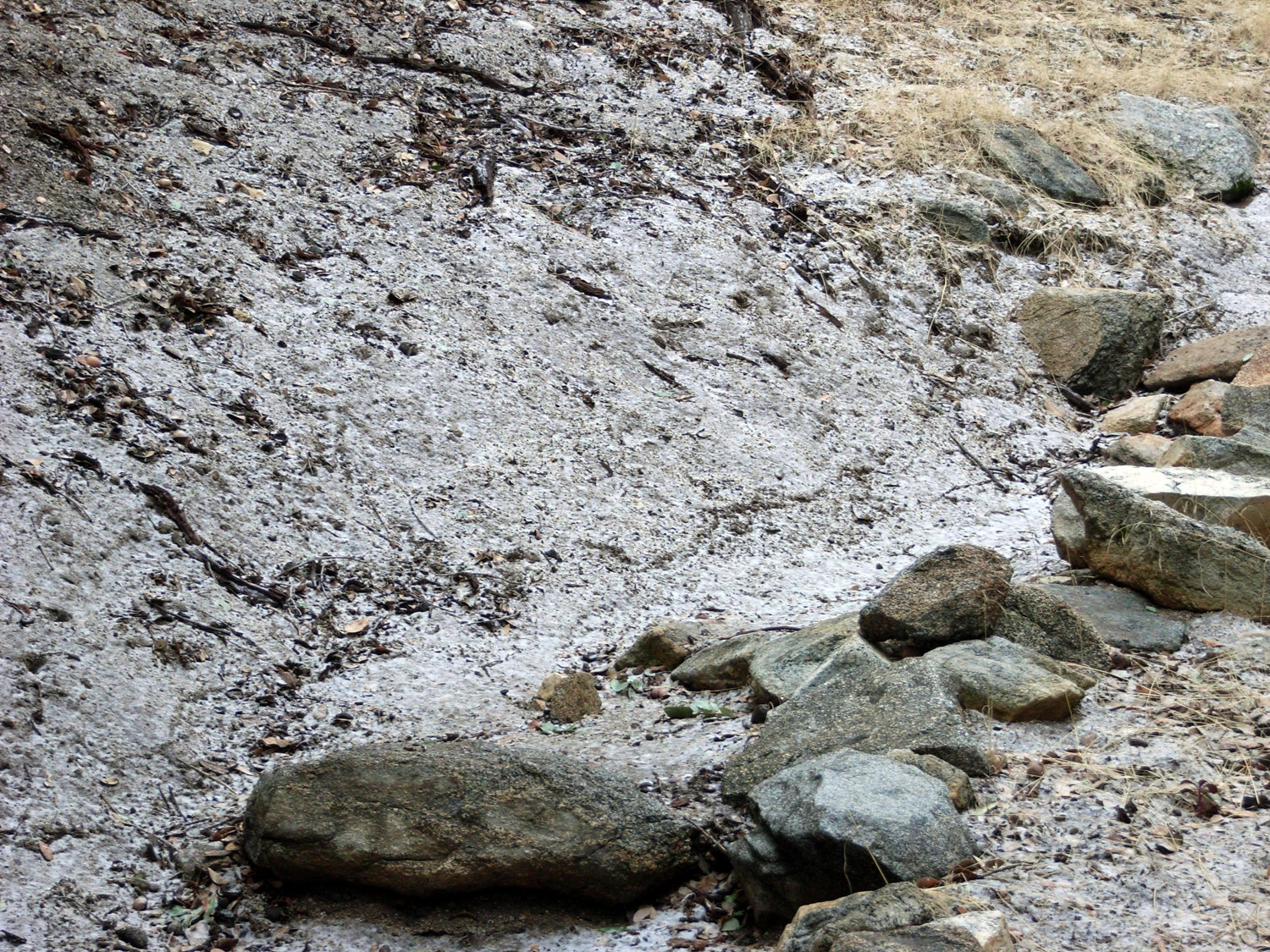
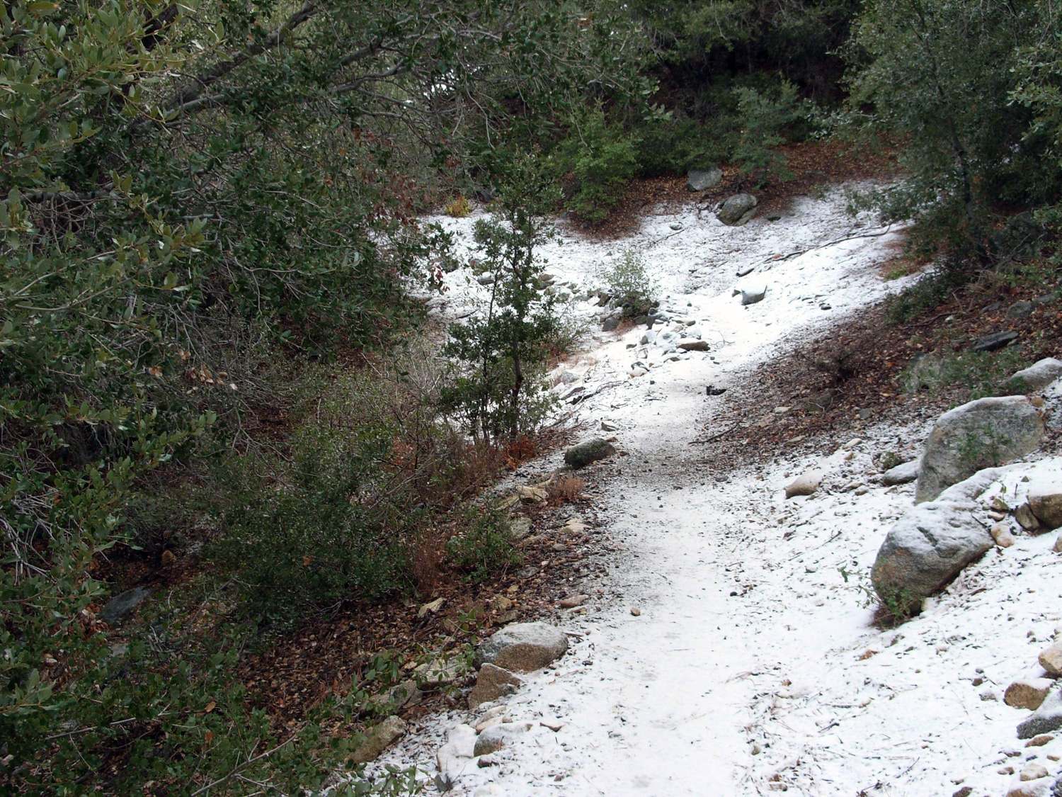
The hike was uneventful on the way up, until we started coming on some trail stones with a light coating of frost. Further up the trail, we had a little taste of full-on snow. Still not enough to get in our way, but enough to make two misplaced New Englanders feel like maybe – for just a minute – that it actually might be winter.
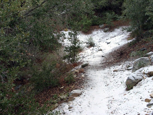
And Higher, Snow
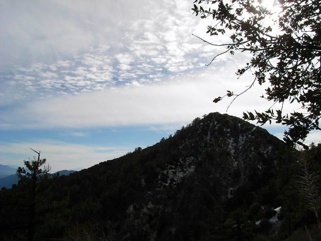
After carefully maneuvering along some of the slicker sections of the trail, we got our first good view of the sharp peak of San Gabriel:

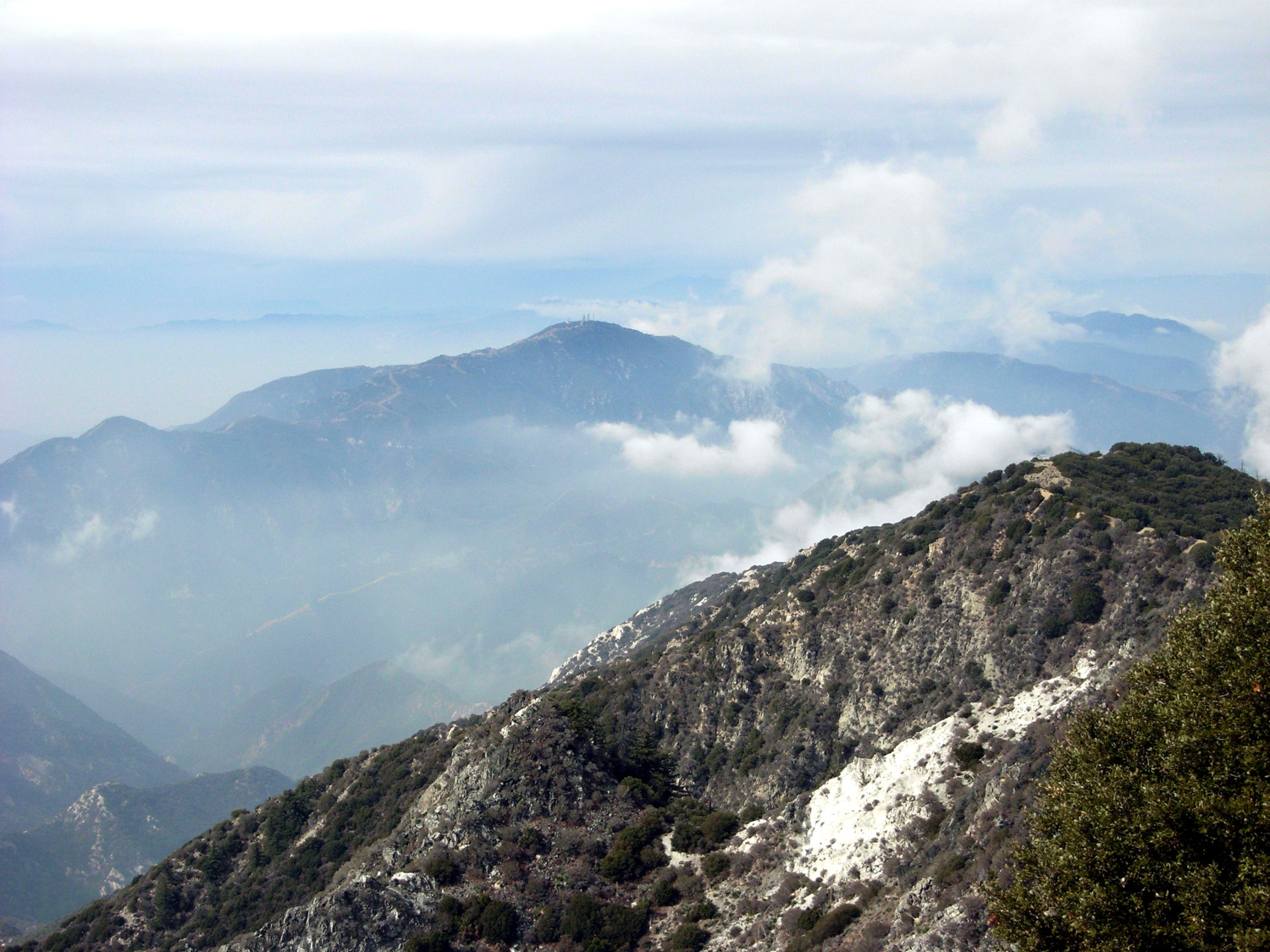
San Gabriel Peak
Shortly after, the trail joined up with the paved road near the 1.1 mile mark, which at this elevation was almost completely covered in ice. We saw the only other hikers of the day, who were trudging on the small dirt shoulder to avoid slipping. We stayed on the ice.

I mentioned we’re both stubborn New Englanders, right?

We got to the saddle at the 1.3 mile mark and stopped to have a small snack. We had a great view of the leveled top and old military and radio installations of Mount Disappointment – which is named thusly not for any aesthetic shortcomings but rather because early surveyors figured the pointy, prominent peak was the tallest in the front range when they first looked upon the San Gabriels … but quickly discovered San Gabriel Peak itself was just a bit taller. The effect is more pronounced now that the summit of Disappointment was flattened for infrastructure.
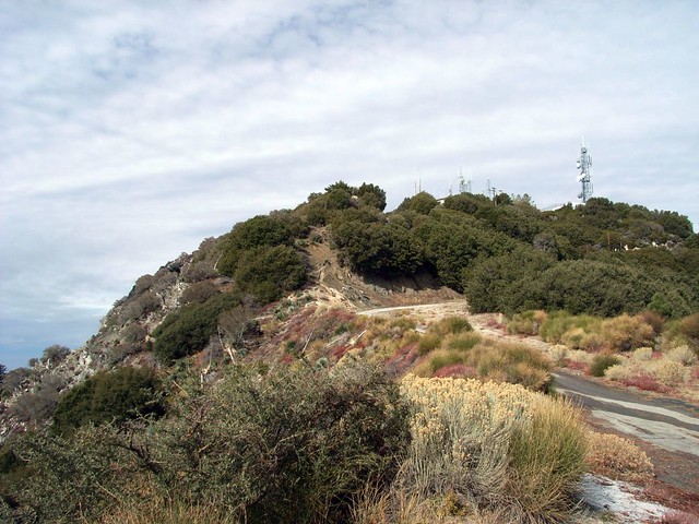
Mount Disappointment
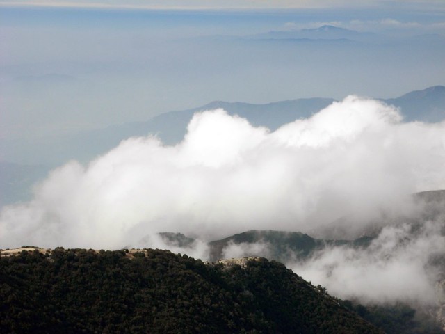
As we looked into the distance beyond Disappointment we could see the clouds moving up from the basin floor, cooling and growing as they hit the mountains. The last time I was up here, the city was covered by a thick June marine layer, and as I stood on the ridge, the clouds would swiftly rise through and above me. Today’s effect was a bit slower and more distant, but no less spectacular.

More Rising Clouds
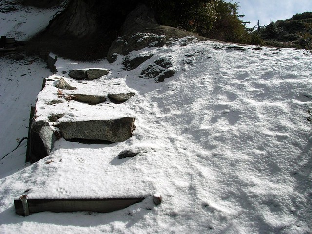
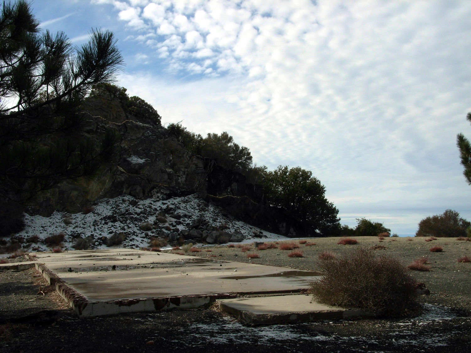
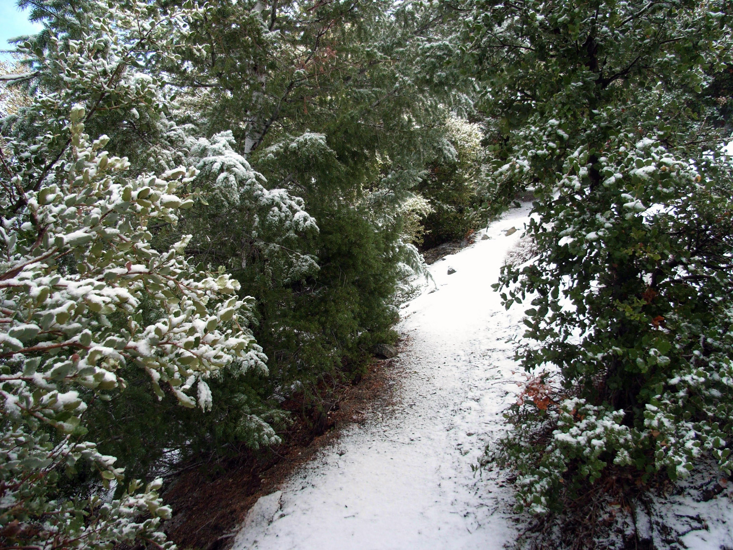
We continued on to the east, passing the peak’s abandoned Nike Missile ruins and dipping down into the true saddle before starting another ascent to San Gabriel Peak. The winds picked up, the snow got thicker, and the air got colder. It was starting to get wintery, and soon we noticed that not only was it winter, but that we were walking on nearly-virgin snow.

Snow Stairs
With the exception of some small animal footprints, no one had yet walked on this part of the trail since the snow fell.

Being the first person on a trail – even if it’s an established trail – can give a slight sense of trailblazing. Knowing that we beat everyone to the forest that morning felt great, and crunching our boots on freshly fallen snow felt even better.

Whatever had beaten us to the trail that morning seemed to like walking on the trail, too. The footprints kept going for a while, and I stooped down to get a better look at the tracks.
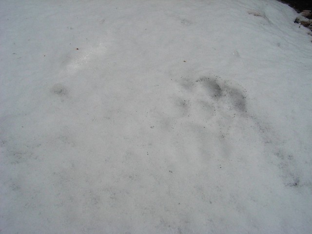
Tracks
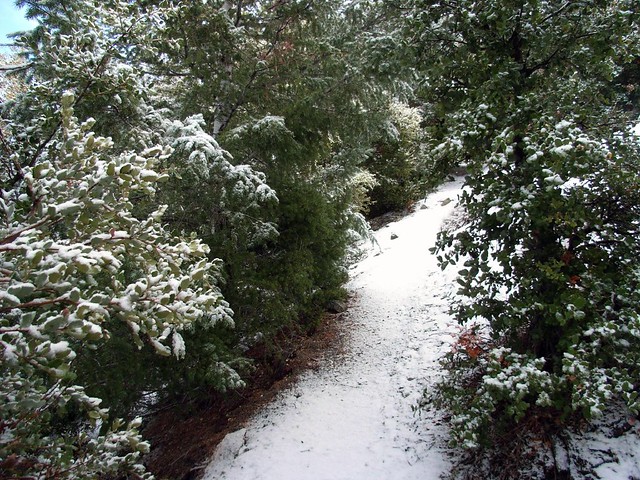
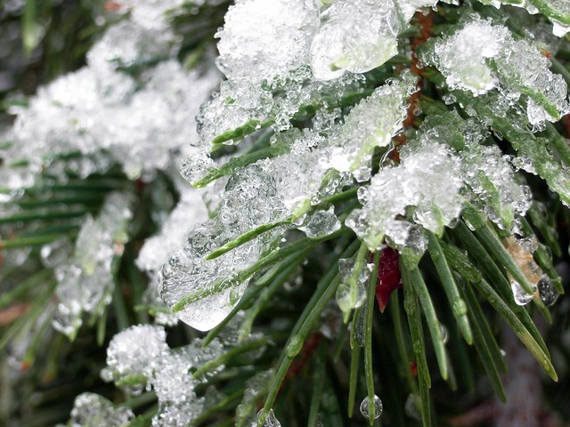
I’m not 100% sure, but they look like bobcat tracks to me. The prints were pretty fresh, but whatever it was, it was small. I was, however, privately very relieved when the tracks led off the trail and back down the side of the mountain. It allowed me to focus freely on the nicer parts of the snowed-in trail, like the ice coating the pines, slowly melting around us in the sunlight.

Needles
Now we could definitely imagine ourselves back in New England. Except with more mountains. And mountain lions, I guess.

Is This SoCal?
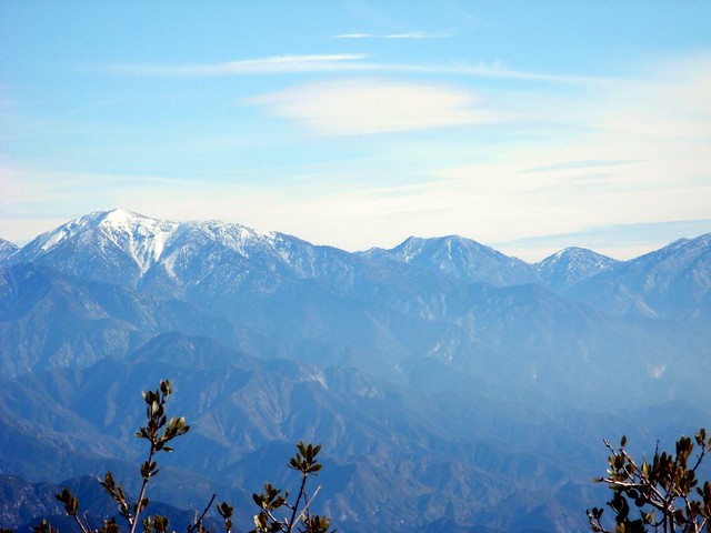
Since the peak of San Gabriel is relatively exposed and doesn’t have too many other peaks blocking its way, you can get a pretty amazing near-360 degree view from up there. We had the constantly rising clouds to our west, the cloud-covered cities to our south, and the incredible snowbound peaks to our east.

White, Blue, Gray
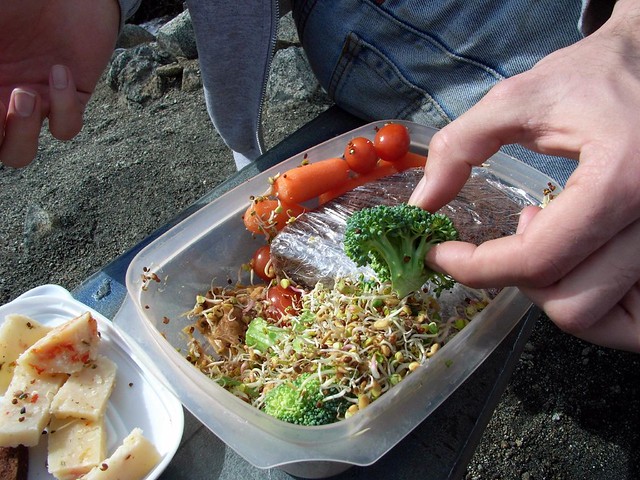
We sat down on a bench at the peak to relax, take in the views, and eat our lunches.

Better Lunch
When you’re done, return back the way you came – or consider extending your trip by tacking on a trip to nearby Mount Lowe or Mount Markham, too.

The Sierra Club notes that 49 peaks above 5000 feet are visible from the summit of San Gabriel Peak on a clear day … but they also note that the last time they had a record of that happening was in 1947.

Tags: , , , , , ,

Accommodations near San Gabriel Peak

Trail Conditions

Very good. There are some steep switchbacks near the trailhead, but nothing terrible. The trail up to San Gabriel Peak is a bit more rugged and gets close to some steep edges, but is very manageable.

Download GPX

Download KMZ/KML

How to Get There

From the Angeles Crest Highway exit off the 210, head north for 13.9 miles and take a right onto Mount Wilson Red Box Road. In 0.4 mile, look for a nondescript dirt road on the right hand side. There is a small parking area here and the trailhead is just to the south of the parking area.

Driving Directions

Use the ModernHiker mobile app to download this map and complete trail description for offline access.

Download Details & Map