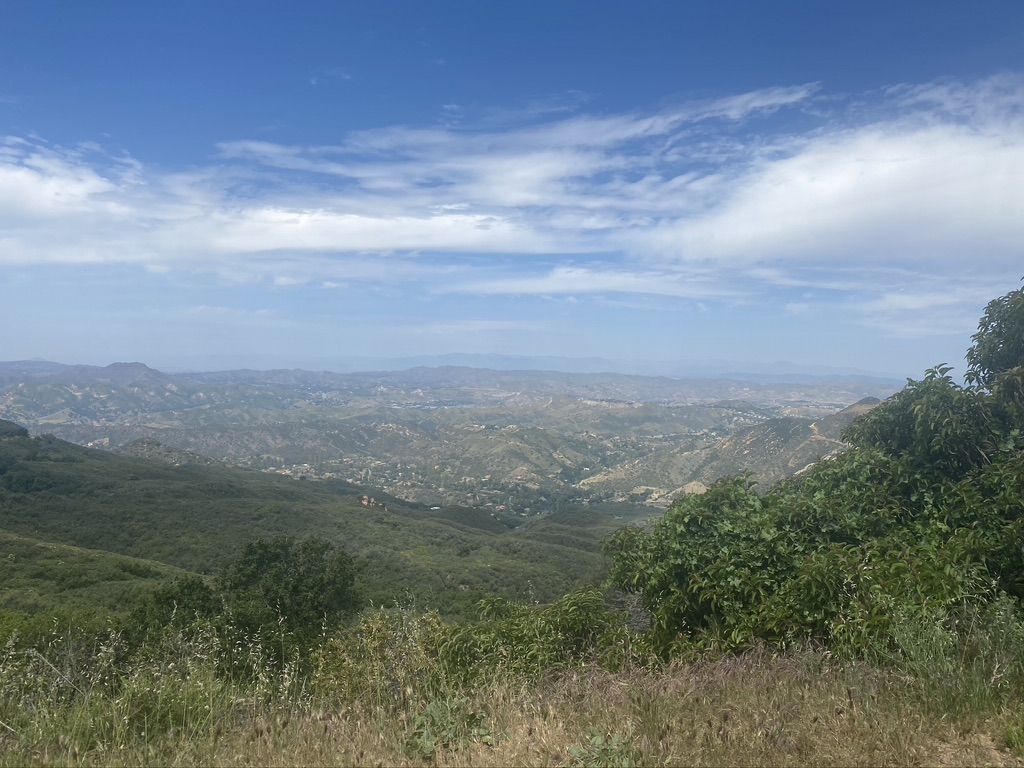
If you’re looking for an easy, straightforward hike with stunning mountain views, blooming wildflowers, and a one-of-a-kind graffiti slab, the hike to Topanga Lookout is going to be your go-to. At nearly 3,000 ft above the Pacific Ocean, the Topanga Lookout is one of the highest points in the Santa Monica Mountains (at 3,111 feet, Sandstone Peak takes the prize), and it has the views to prove it.
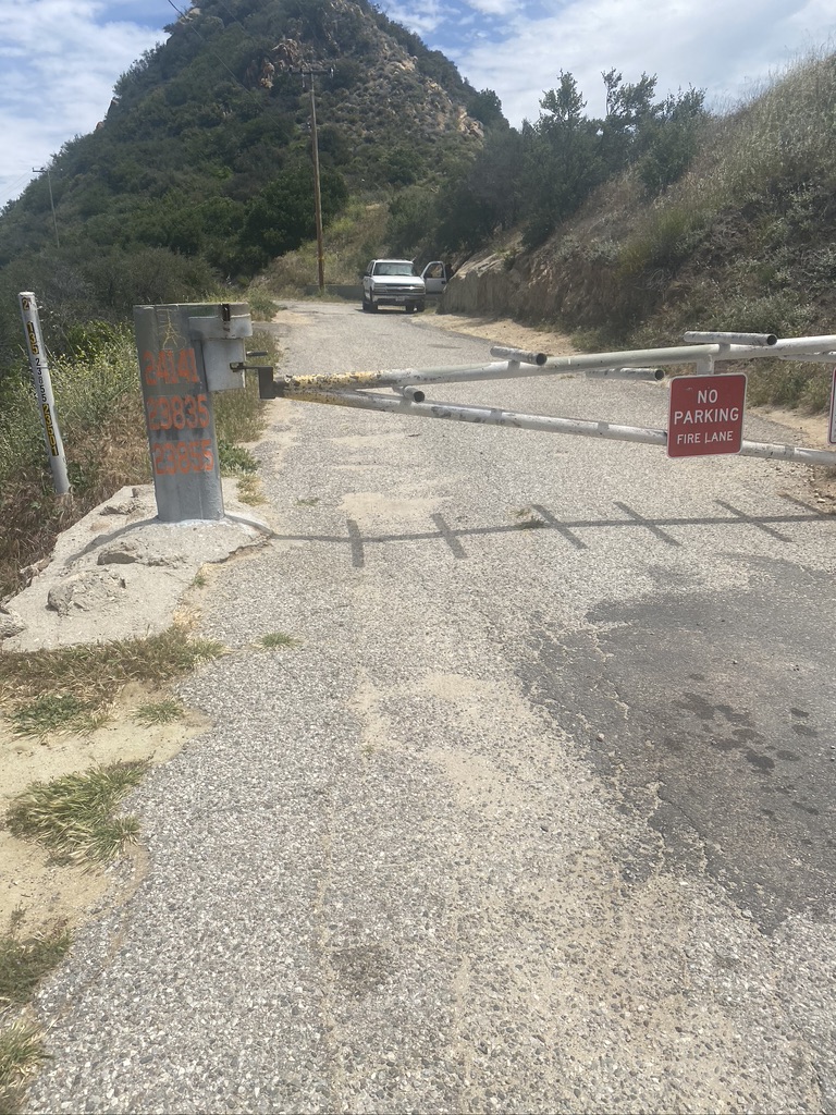
You’re going to gain most of your elevation by driving your way up through the winding mountains, ending in the vista point where you’ll park and start the hike. The trailhead is just off the intersection of Stunt Road and Schueren Road — walk toward the gate with the vista signs on your left, and you’ll find the entry to the paved Topanga Canyon Motorway. The gate is closed to traffic, but you’ll be able to squeeze through on the left side.
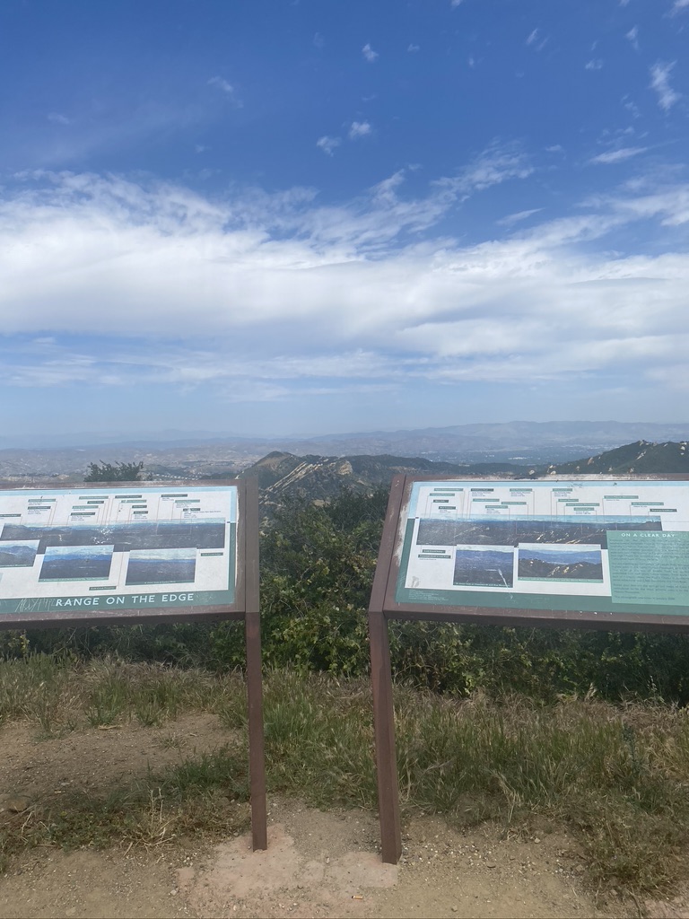
TIP: check out the interpretive signs before you start your hike. This way, you’ll know what you’re looking at when you reach the lookout.
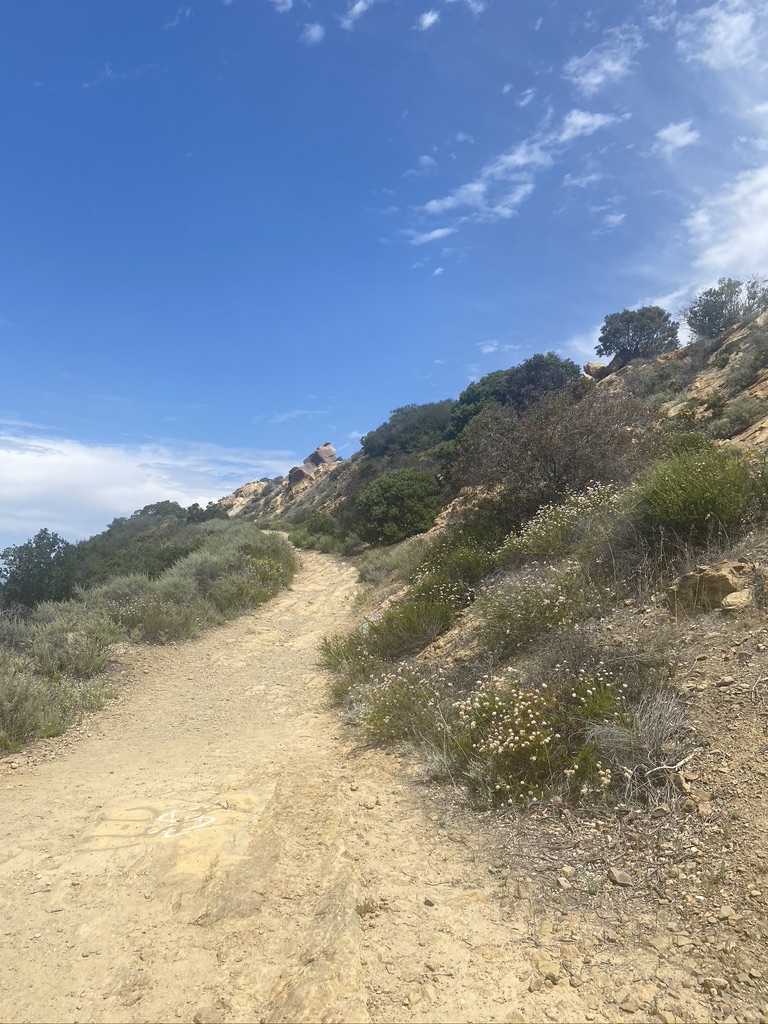
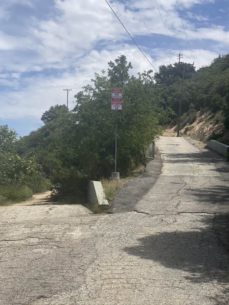
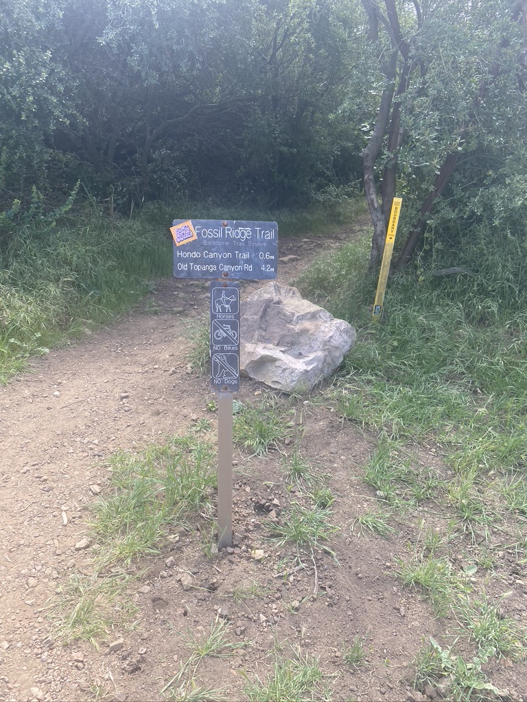
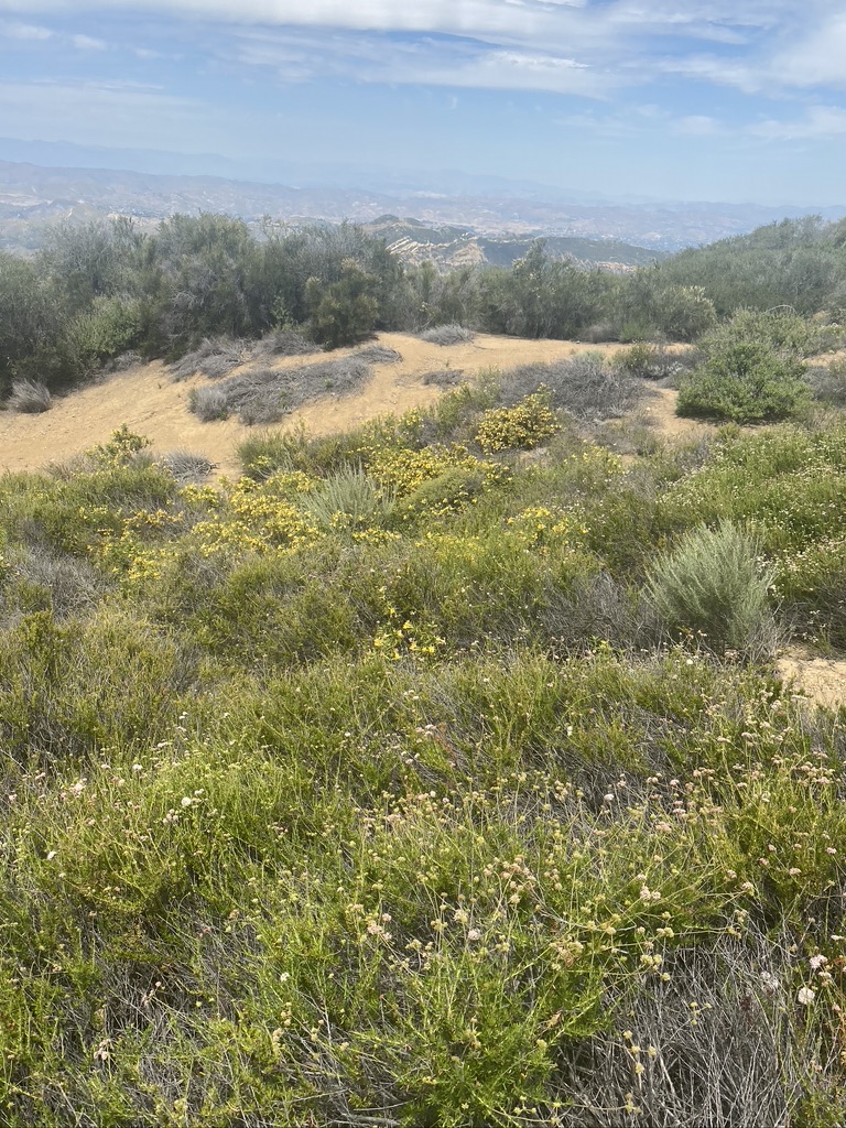
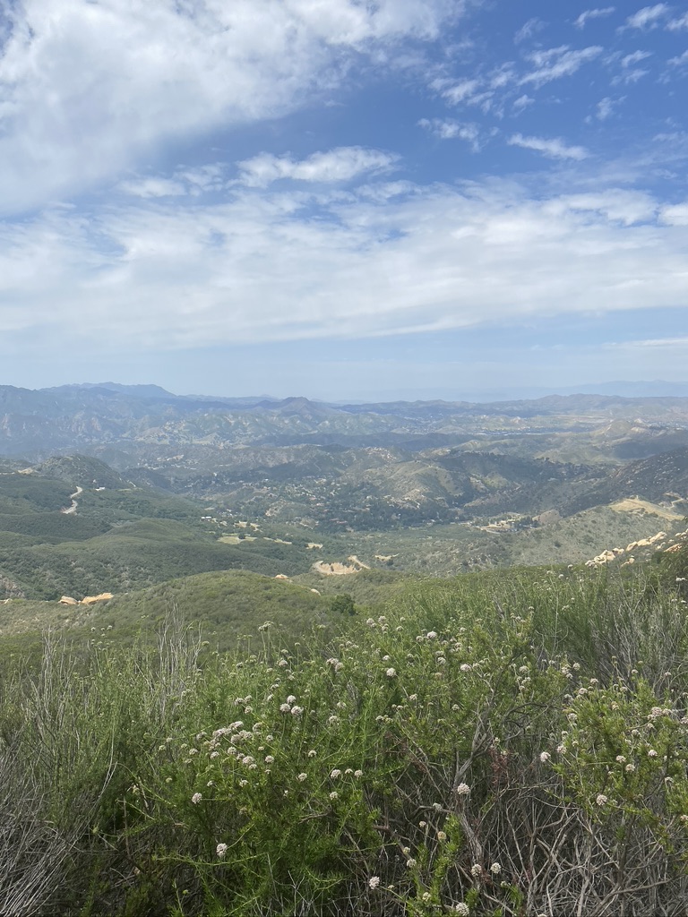
You’ll come to a fork in the road that directs hikers to keep left. As soon as you pass that fork, the paved path turns into a rustic dirt road flanked by wildflowers, buzzing bees, and tons of butterflies, immediately making you feel as though you’re hours away from the city rather than minutes. You’ll come to a signpost for the Fossil Ridge Trail heading off to the east (also part of the Backbone Trail system); keep straight to continue on the Motorway to the lookout.
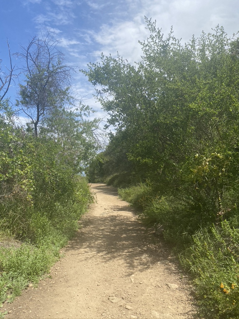
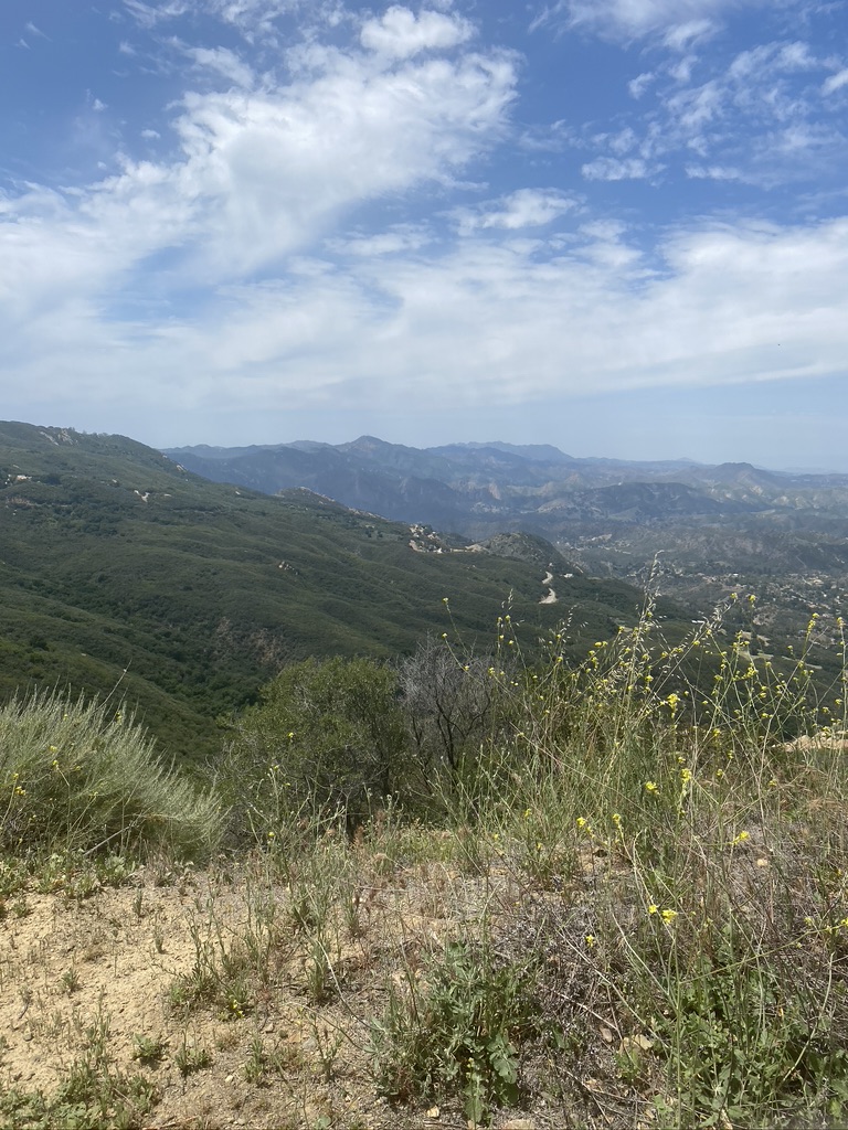
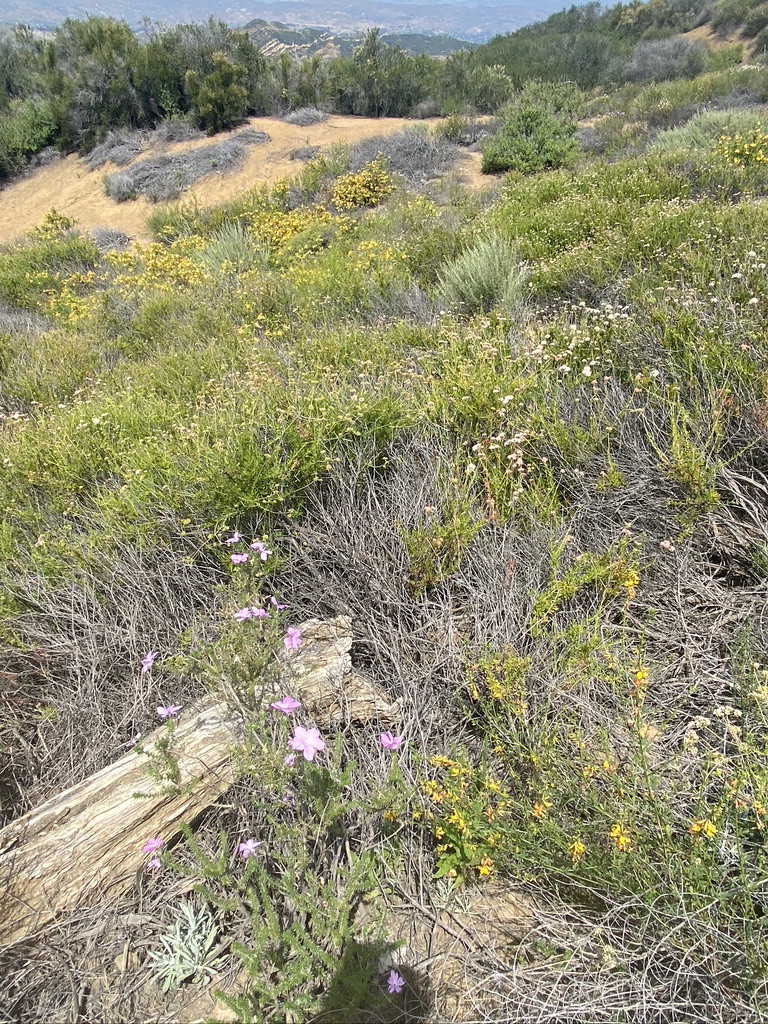
After about half a mile, the path widens significantly, giving plenty of room for hikers (although you might not encounter many others, unlike some of the more populated hikes in L.A.). This adds to the secluded nature of the hike, and leaves you with wide open views of the mountains and flowers. And watch your feet — we encountered a few lizards and loose rocks underfoot. At this point, we also started seeing a lot of bees. This could just be that we went in spring, when the wildflowers were in full bloom, so if you’re allergic it might be best to visit in winter.
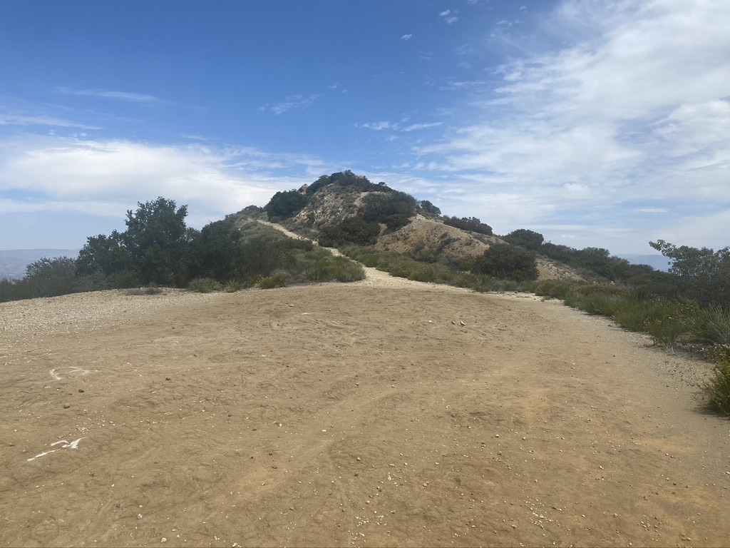
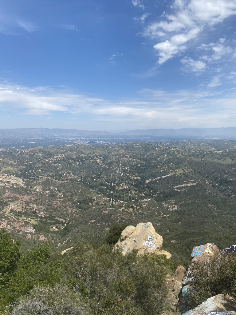
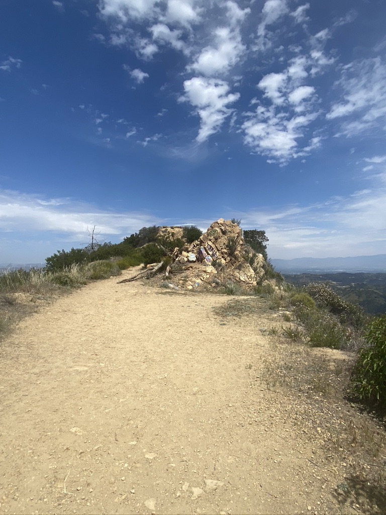
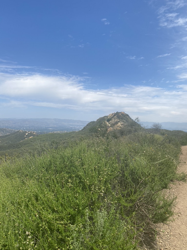
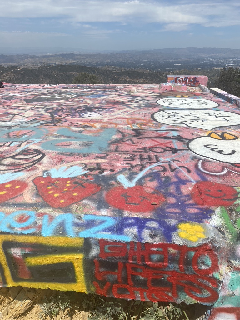
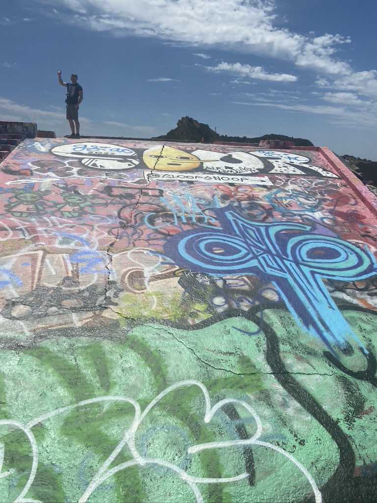
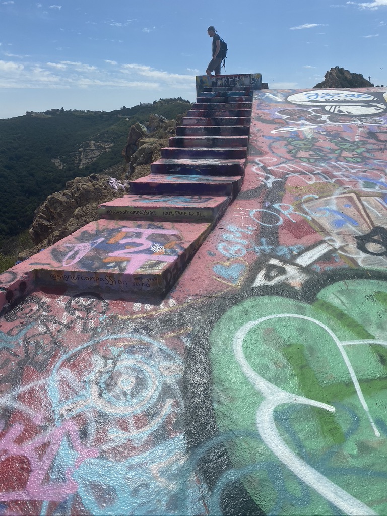
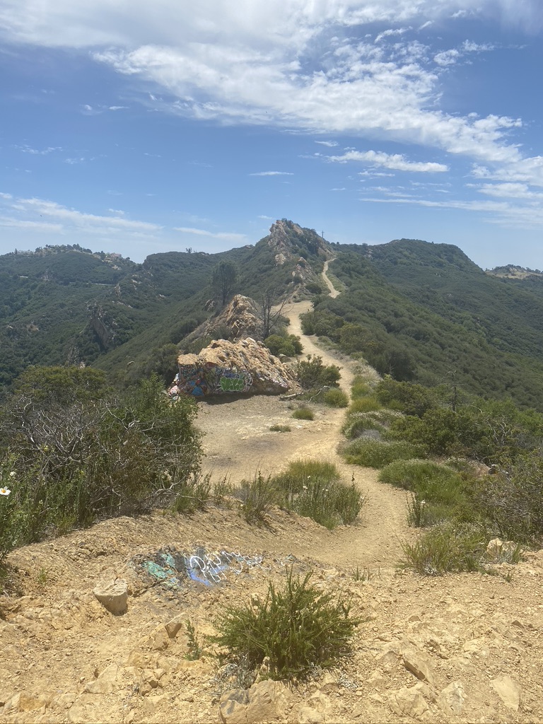
Continue straight for the rest of the hike to Topanga Lookout. Take in the mountain views on both sides of the path. Eventually, you’ll start seeing small bits of graffiti popping up. You’re getting close to the lookout! Most of the graffiti here is contained to the lookout point, which lends it a certain artistic quality not unlike the ruins at Murphy Ranch or Pumpkin Rock, but unfortunately there is also a lot that’s been added to the landscape.
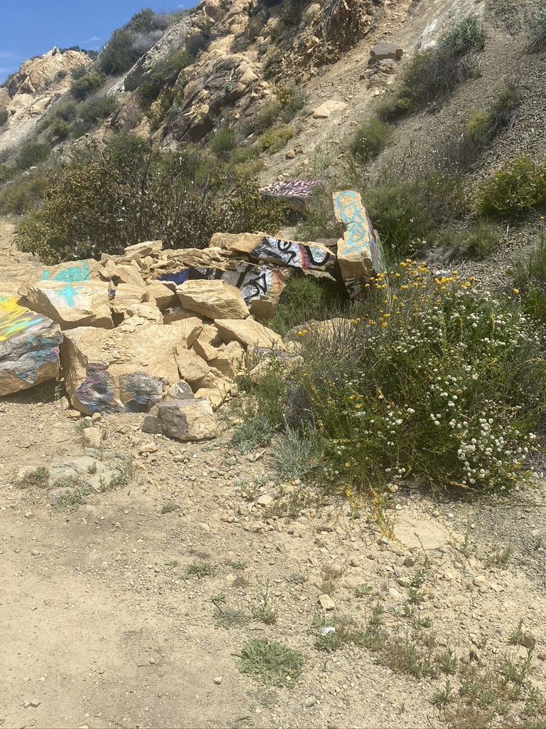
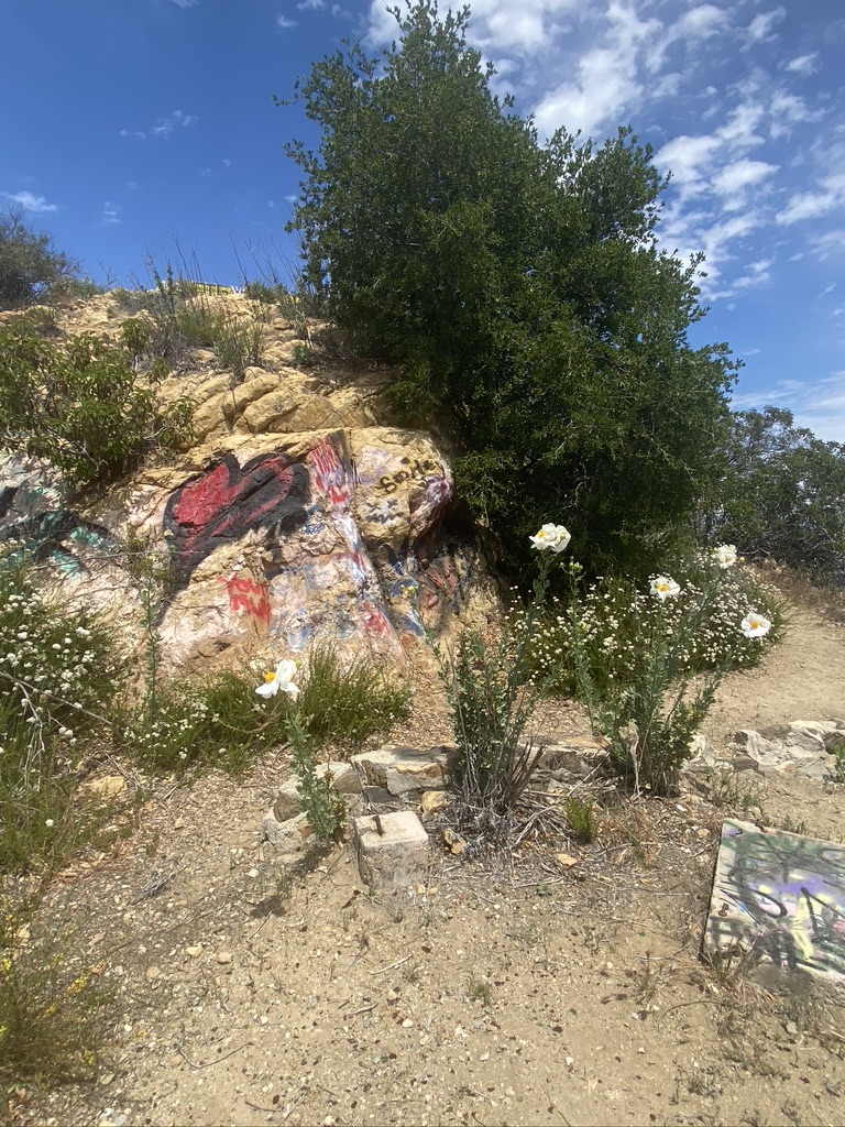
A mile from the start, a steep incline leads you to the base of Topanga Lookout. At this point, there’s very little shade, so make sure you’ve brought sunscreen and a hat for those warm days. From the lookout, you’ll be able to see mountains on all sides, as well as your entire path back (it IS a lookout, after all!). When we went, we were also able to spot some hang gliders over the mountains to the south. Take as much time as you want — there’s so much to see, from the mountains to the art under your feet. We even found a deeply personal letter someone left for a loved one … and some Chick-fil-A protest art. You’ll never know what you’ll find, and there’s the potential for each hike to be different!
There’s no loop, so making your way back to the start is simple; just follow the straight path you took to the lookout. Also note that there are no trashcans or water fountains on the hike; that being said, we didn’t encounter much litter, so the trail feels really secluded and far from the city.
Tags: graffiti, lookout tower, ruins, Santa Monica Mountains, Topanga