Rising up like a 6,000′ tall frozen wave threatening to crash over Anza-Borrego Desert State Park, the Laguna Escarpment features some of the most spectacular views anywhere in Southern California. The Pacific Crest Trail runs along the edge of this escarpment while offering access for numerous side trails to some of the 6,000′ peaks dotting the highest part of the crest. Monument Peak is the most accessible and prominent of these peaks, and from its summit, one can see clear to Arizona, provided that the weather conditions are optimal.
Monument Peak
Most people reach Monument Peak via the Big Laguna Trail access trailhead along the east side of Sunrise Highway. This out-and-back hike takes a different route to include an additional 1.5 miles on the most heavily-wooded stretch of the PCT. The large number of California black oaks along the way creates an additional opportunity for fall color viewing during late October into mid-November.
Pacific Crest Trail
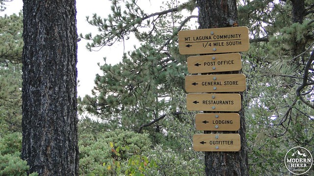
The trail begins from the Desert View Picnic Area, which offers picnic tables, fire rings, and a sliver of view over the southeast corner of Anza-Borrego Desert State Park. Desert View is also convenient to the village of Mt. Laguna, which has lodging, convenience stores, a post office, a recreational equipment store, and a few restaurants (more on that last one later). This section of the PCT is a popular resupply point for hikers just beginning their PCT journeys. If you take this hike in early- to mid-April, you are likely to share the trail with a colorful assortment of long distance trekkers.
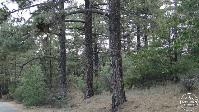
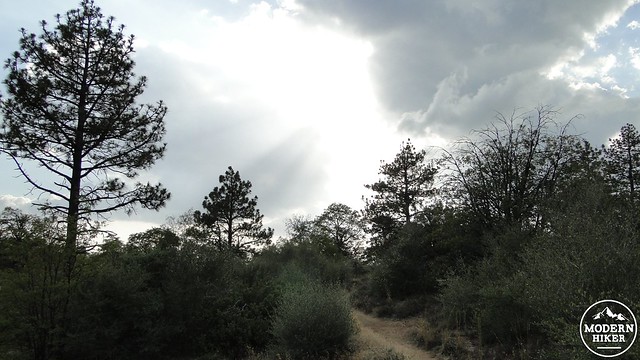
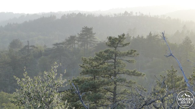
Cool pine forest along the PCT
First, park your car and be sure to display your Adventure Pass (you can pick them up at the general store or at the outfitters). To find the trailhead, start from the info kiosk, which is situated near the restrooms. Head straight toward the picnic tables that are down slope from this kiosk while keeping your eyes peeled for a faint trail. Once you find this trail, remain on it until it junctions with a well-defined but narrow single-track trail. This is the Pacific Crest Trail, and it will take you to the Monument Peak access trail before ultimately dropping you off at the Canadian Border (bring snacks).
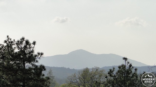
Cuyamaca Peak
Mt. Laguna Recreation Area
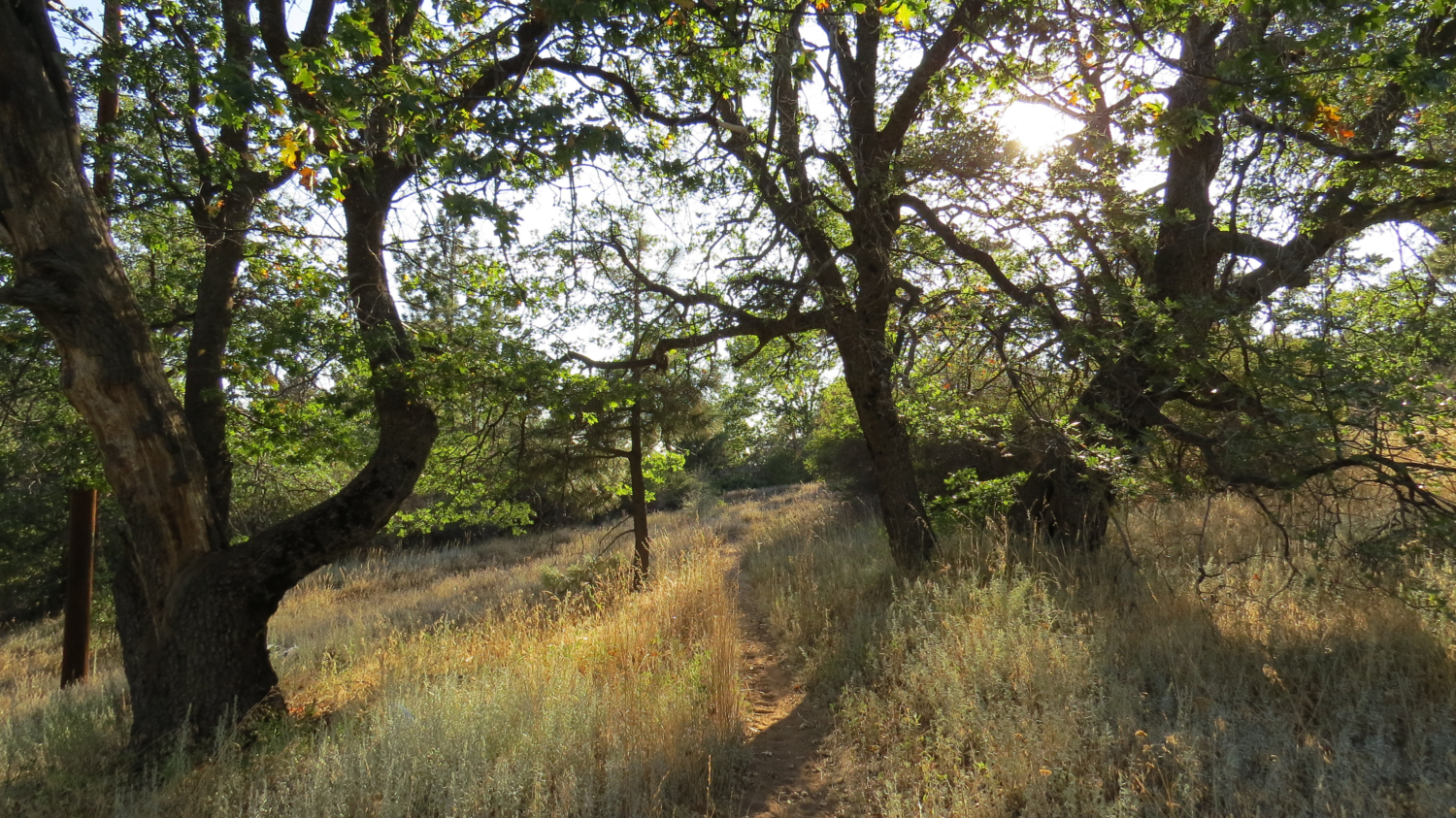
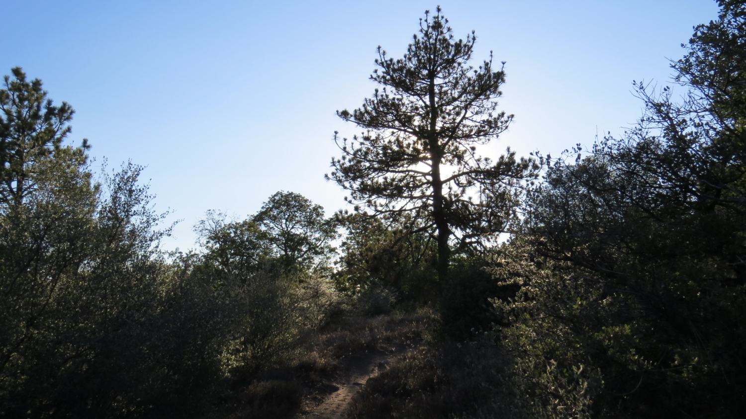
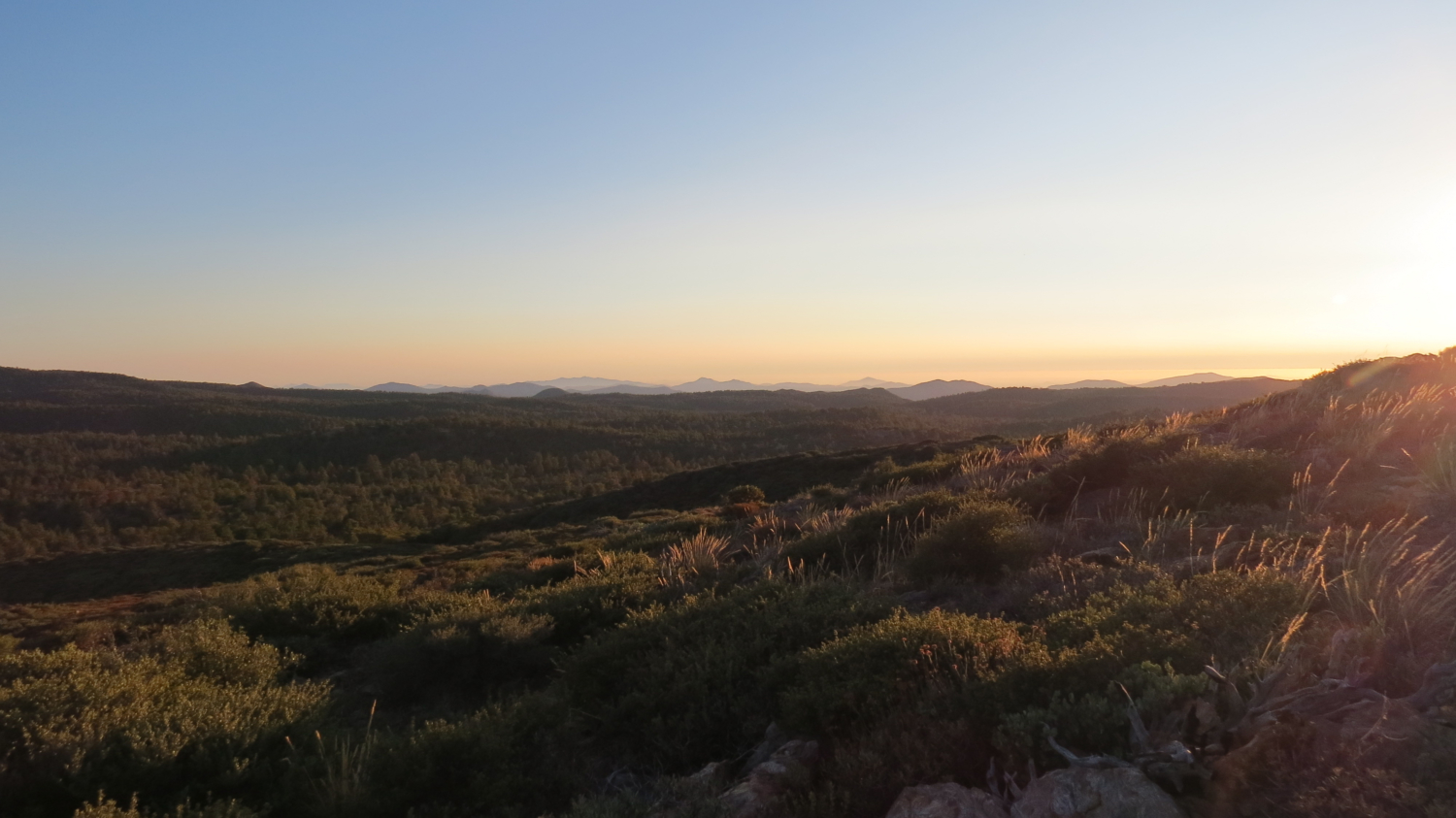
For the next 1.5 miles, you will travel through pine and oak woodlands that open up to offer sporadic views west over the Laguna Mountain plateau and the Cuyamaca Mountains. You will cross two asphalt roads, which provide access to Mt. Laguna and the radar installation on Stephenson Peak, respectively. After this, the PCT will meander through the woods, which will come alive with brilliant golden color in November when the black oaks begin to turn. Cold, shady forests and fall color are the primary advantages of taking this longer, less direct route over the short, more direct route from Sunrise Highway, which offers a lot less in the way of woods.
Junction with the Monument Peak Trail
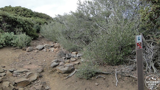
The PCT will come to the junction with the access trail to the Big Laguna Trail. Continue straight and begin a moderate climb out of the woods and into the chaparral. To this point, the PCT has stayed just west and about 100-200′ below the escarpment, meaning that you have not yet glimpsed the jaw-dropping view just a few hundred yards to your right. Keep going on the PCT until it takes a hard right and comes to a point with two separate PCT markers. Between these two markers, you will find an access trail that looks pretty overgrown and is thus easy to miss. Take a right turn to enter into this dense elfin forest of manzanita and ceanothus and begin climbing through the chaparral.
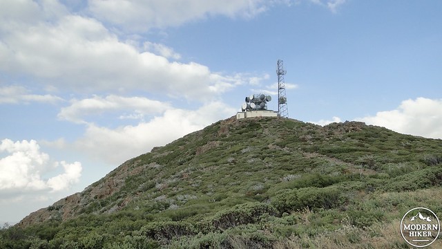
Monument Peak
This access trail will come to a wide, bulldozed firebreak running along the saddle between Monument Peak and Hayes Peak. Turn right and follow the sometimes rocky and overgrown trail toward a fenced-in cluster of trailers. The trail will skirt this small compound before bending right to merge with the access road to Monument Peak. Turn right and follow the access road up to the summit and prepare yourself for the breathless reveal that awaits you.
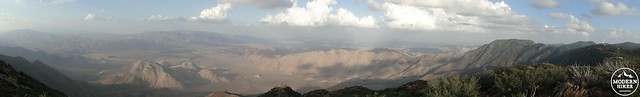
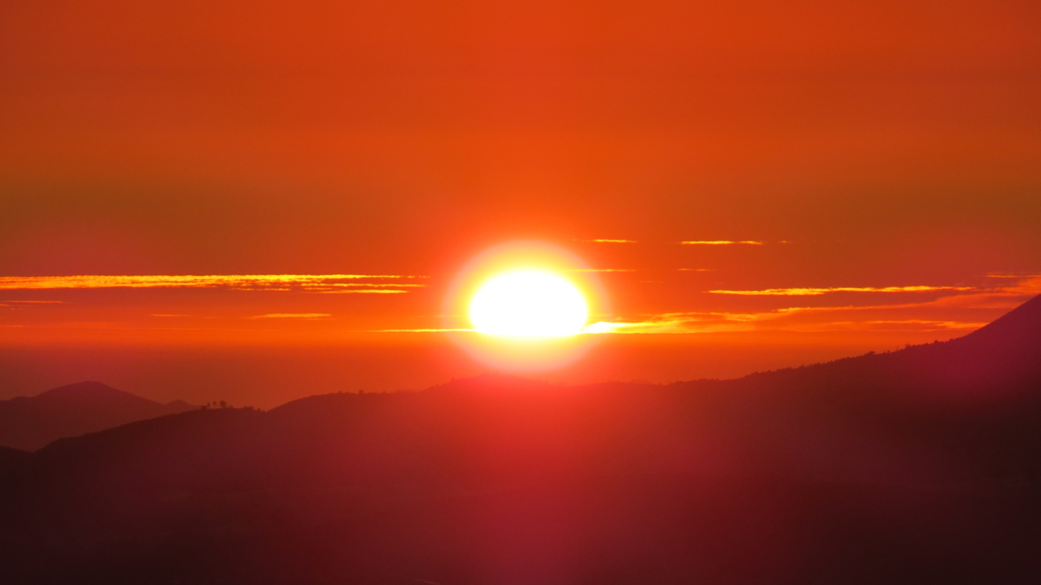
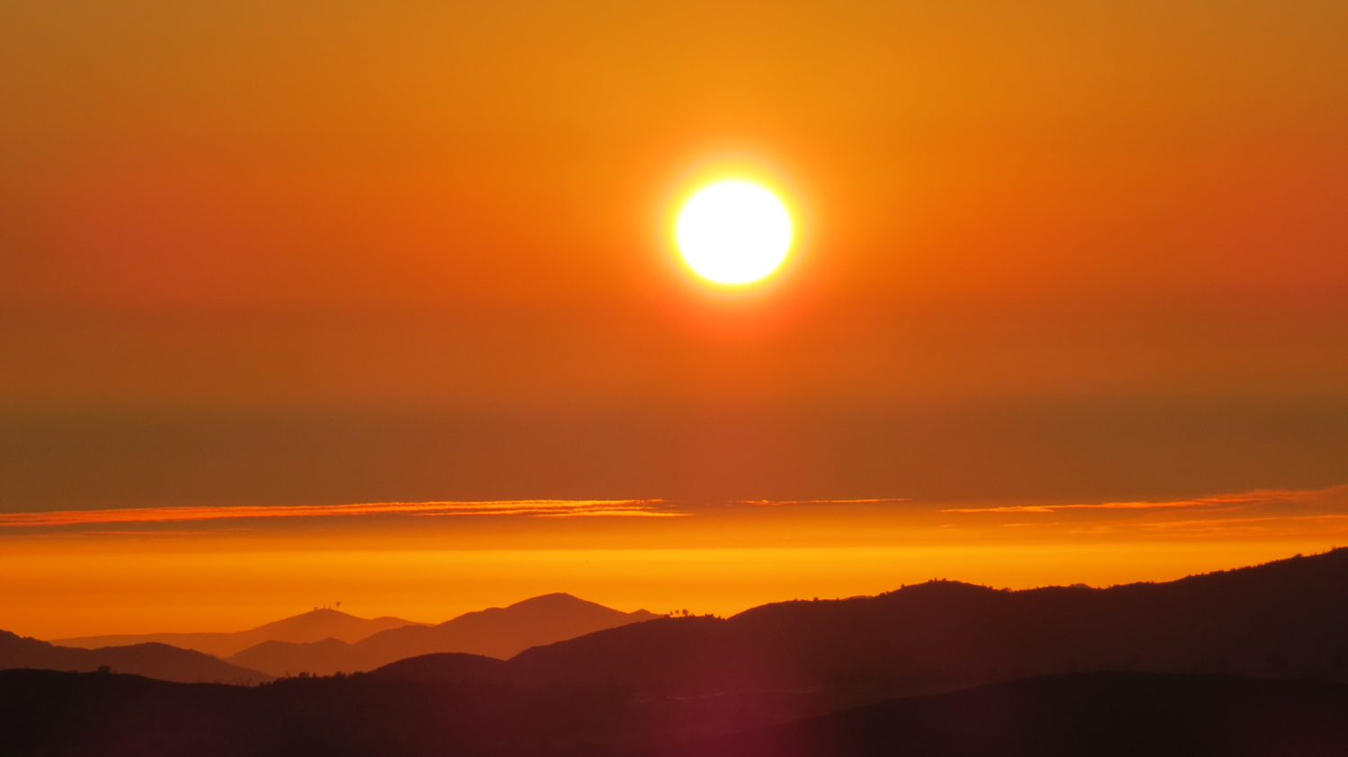
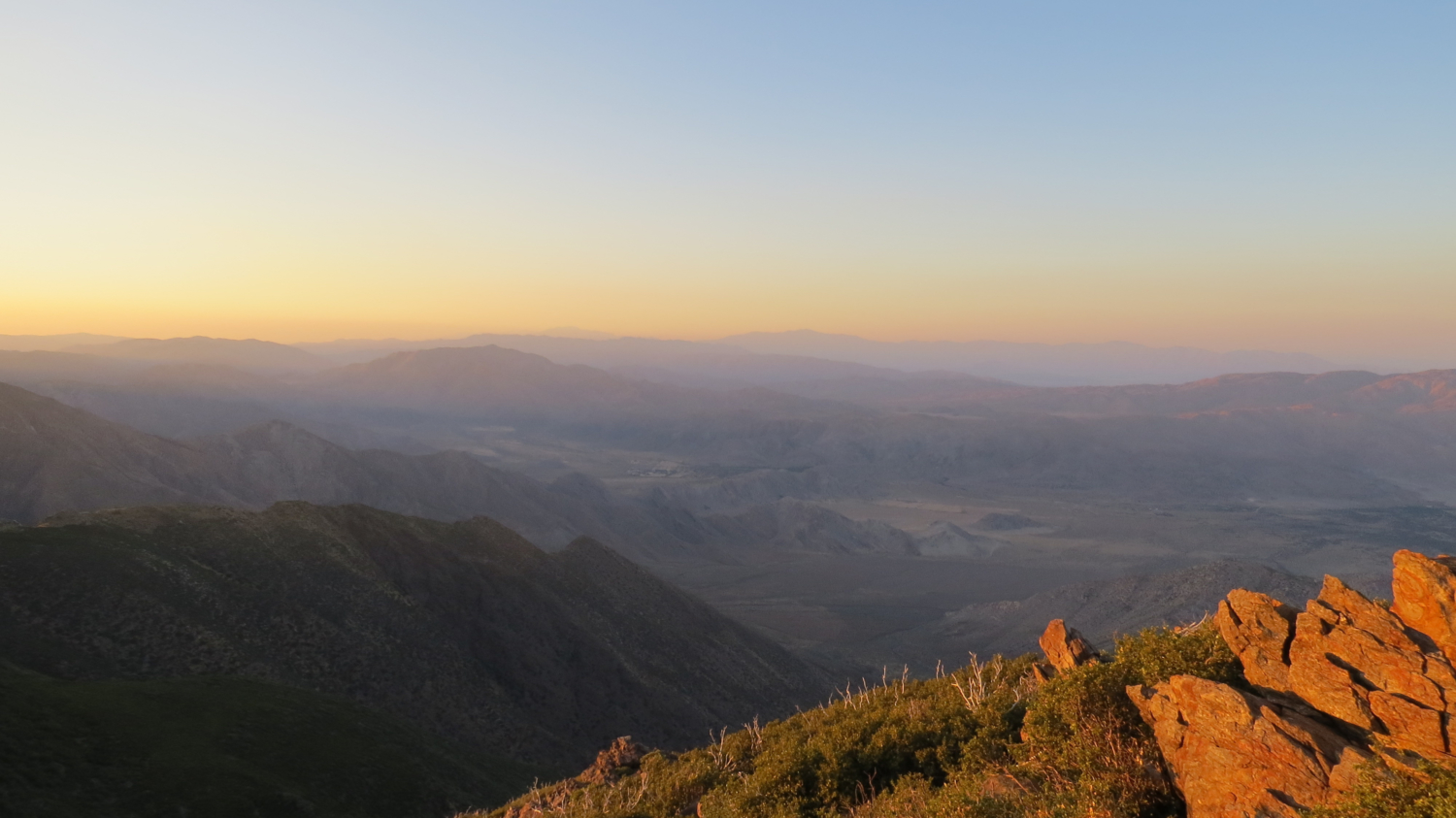
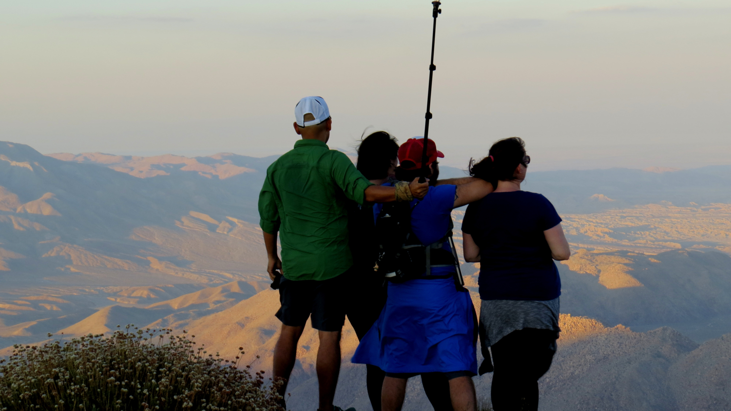
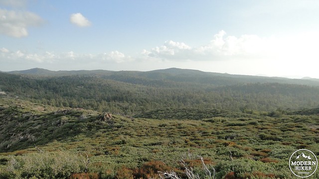
Panoramic view from Monument Peak
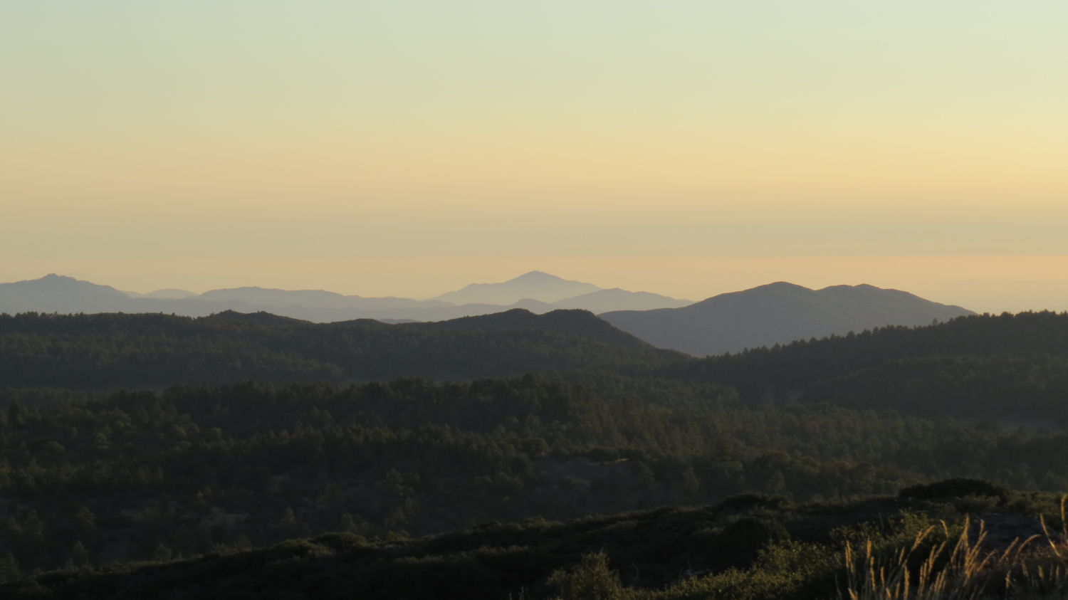
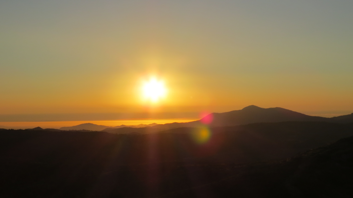
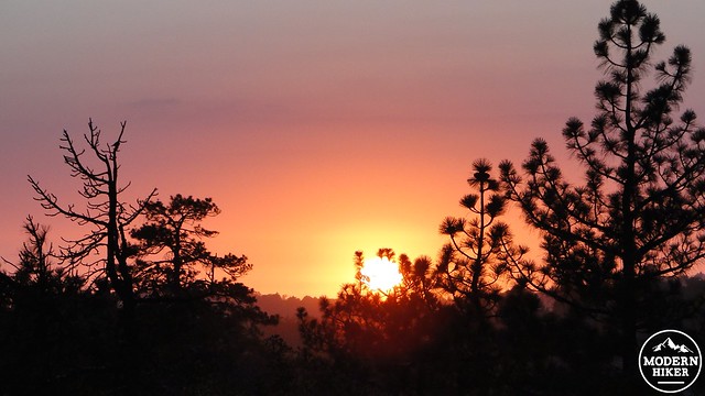
As the road reaches the proper crest of the Lagunas, a panoramic view stretching from the Santa Rosa Mountains towering above the town of Borrego Springs all the way down to the Laguna Salada dry lake in Northern Mexico opens up before you. Behind you to the west, you will see the rolling plateau of the Laguna Mountain Recreation Area and the Cuyamaca Mountains. Looking down into the desert, you can spot Whale Peak and the Vallecito Mountains, Granite Mountain, the Carrizo Badlands, the In-Ko-Pah Mountains, Agua Caliente Park, and Blair Valley (Click on the link to see what the Lagunas look like from the Blair Valley area), among hundreds of square miles of desert. Late afternoon draws beautifully contrasting shadows across the desert, while the peak is optimally positioned to observe the sun rising over the east.

Looking toward Granite Peak
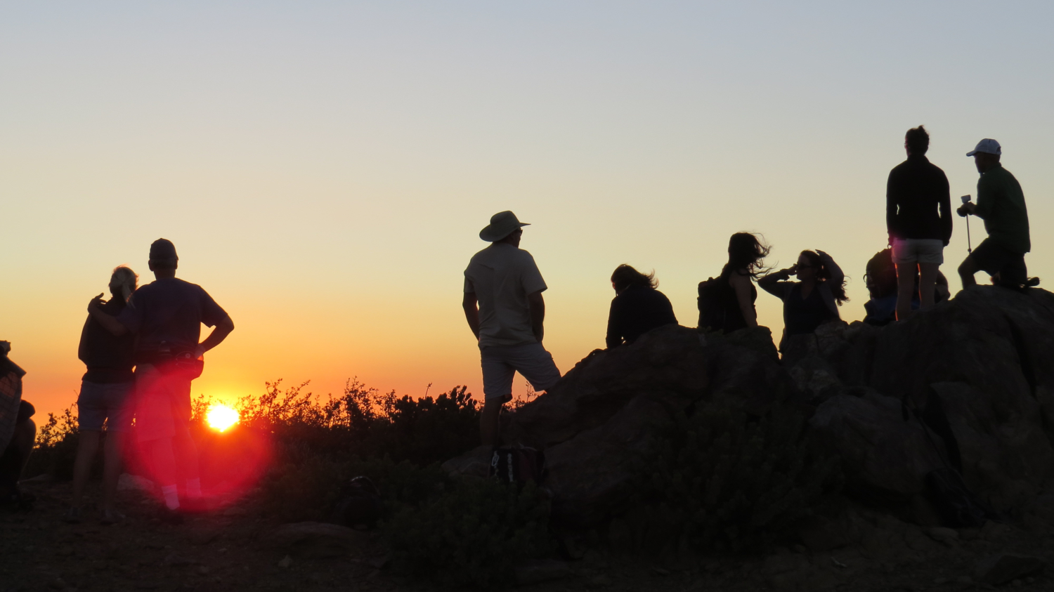
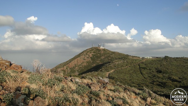
Note that this track does not actually reach the summit, which is covered in antennae. It’s possible to bag the summit, but I avoided it mainly because I try to avoid radar antennae when I can. The track instead leads to a rocky spot that offers a few relatively comfortable spots to sit and soak in the panoramic views.
After backtracking down the access road, onto the rocky access trail, and back to the trail leading to the PCT, you have the option, energy and will permitting, to also bag nearby Hayes Peak. Hayes Peak is lower, and due to the generally rough access and proximity to higher Monument Peak, does not receive as much visitation. However, it does not have any antennae, for which it scores a few points. While the firebreak remains, Hayes is relatively easy to access provided you don’t mind a rough trail and a bit of scrambling. Simply follow the firebreak up to the slope of the peak, turn right, and scramble your way up through the recovering vegetation. In a few years (from 2014), this may no longer be possible if they let the firebreak re-grow. Hayes is still accessible from the north, but that would add a lot more walking to your trip.
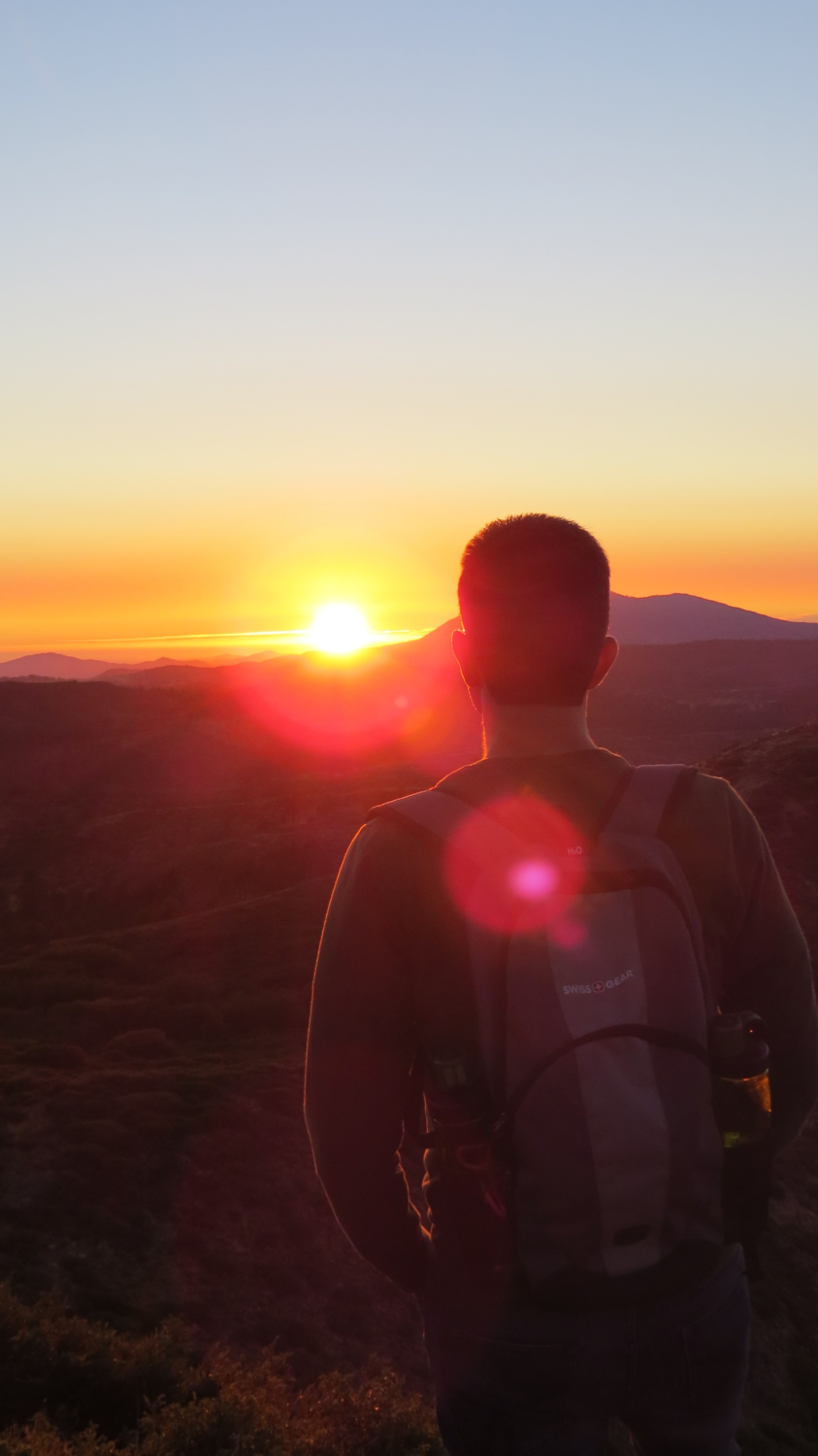
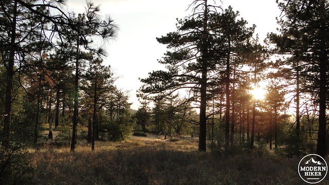
Take the access trail leading back to the PCT and turn left to follow the trail back to Desert View Canyon. If you come up during late afternoon, you will be treated to shafts of sunlight filtering down through the trees and painting everything in a golden hue. You might get lucky enough to catch the sun setting through the crowns of Jeffrey pines or perhaps illuminating the golden leaves of a black oak during the fall. After crossing the two separate access roads, the PCT will return to the trail leading back up to the picnic area. Keep your eyes peeled for this trail, as it is not marked and everything looks a little different on the return journey. Follow the trail back up to your car to conclude the hike.
Note:
– This hike is long enough to earn you some indulgence at the nearby Pine House Tavern, which offers up a good mix of food for meat-lovers and vegetarians alike. They serve local brews on tap, and the restaurant has a decidedly rustic ambiance. The parmesan garlic fries are particularly good. Wash it down with amber ale to tie a bow on your day.
– To take the shorter and easier route, park at the Big Laguna Trail Access Trailhead on the east side of Sunrise Highway, which is about 1.2 miles beyond the picnic area going north. Follow the access trail up the hill to the junction with the PCT and turn left. From here follow the directions to find the Monument Peak trail to the summit. This route is about 2.6 miles long.
Tags: Anza-Borrego Desert State Park, Hayes Peak, Laguna Mountains, Laguna Mountains Recreation Area, Monument Peak, Mt. Laguna, Pacific Crest Trail