The solitary massif known as Granite Mountain dominates the landscape in the Blair Valley region of Anza-Borrego Desert State Park. The 5,635 foot-high peak reaches high enough into the sky to support a woodland of juniper, pinyon, and chaparral species. The panoramic views from the summit encompass much of Anza-Borrego State Park as well as most of the Peninsular Ranges, San Bernadino Mountains, and Salton Sea. On exceptionally clear winter and fall days, hikers can spot Santa Catalina Island, 110 miles away.

There are a number of routes up to the summit of Granite Mountain, and none of them are easy. Like all desert peaks in Anza-Borrego, climbing the mountain is a “simple” matter of following a ridge uphill until you top out. However, there are a handful of preferred routes to the top. One such route follows an old mining trail to an abandoned mine worked near the turn of the 20th century before following the mountain’s prominent southern ridge. The route presented here, made famous by late San Diego hiking guru Jerry Schad, is the shortest and steepest, but also the most interesting.

Hikers attempting to follow this route to Granite Mountain should be mindful of a number of warnings. There is no official trail to the top, and what trail occurs is little more than an informal path beaten into the earth by occasional foot traffic. This “trail” is not reliable enough to follow for navigation’s sake, so you’ll need to know how to navigate in the desert using map and compass. The helpful GPS track provided here can light your way to an extent. My experience is that GPS units provide a false sense of security, both because they break but also because hikers tend to relax about paying attention to the terrain when they turn over navigation to a device. My directions frequently reference the topo map, which YOU ABSOLUTELY SHOULD BE ABLE TO USE EFFECTIVELY if you attempt this hike. Moreover, since named landmarks that aren’t obvious unless referenced against a topo are crucial to the route finding, you aren’t going to know what to look for if you’re using a GPS unit.
I’ll say it again: If you aren’t sure how to navigate the mountain without electronic devices, you should find another hike to do.
Additionally, this hike occurs on exposed slopes that are often comprised of loose soil, peppered with dangerous plants, and blasted by the blazing desert sun. We do not recommend you attempt this route when it is any warmer than 80-85 degrees as you will put yourself at severe risk for heat-related injuries, including dehydration, heat cramps, heat exhaustion, and heat stroke. Be sure to bring abundant water (at least a gallon), electrolyte supplements, salty and calorically dense snacks, sun-protection, light-colored/loose-fitting clothing, and possibly a pair of gloves to protect your hands while scrambling. Trekking poles are also useful where the pitch isn’t so steep that you need to engage your hands.

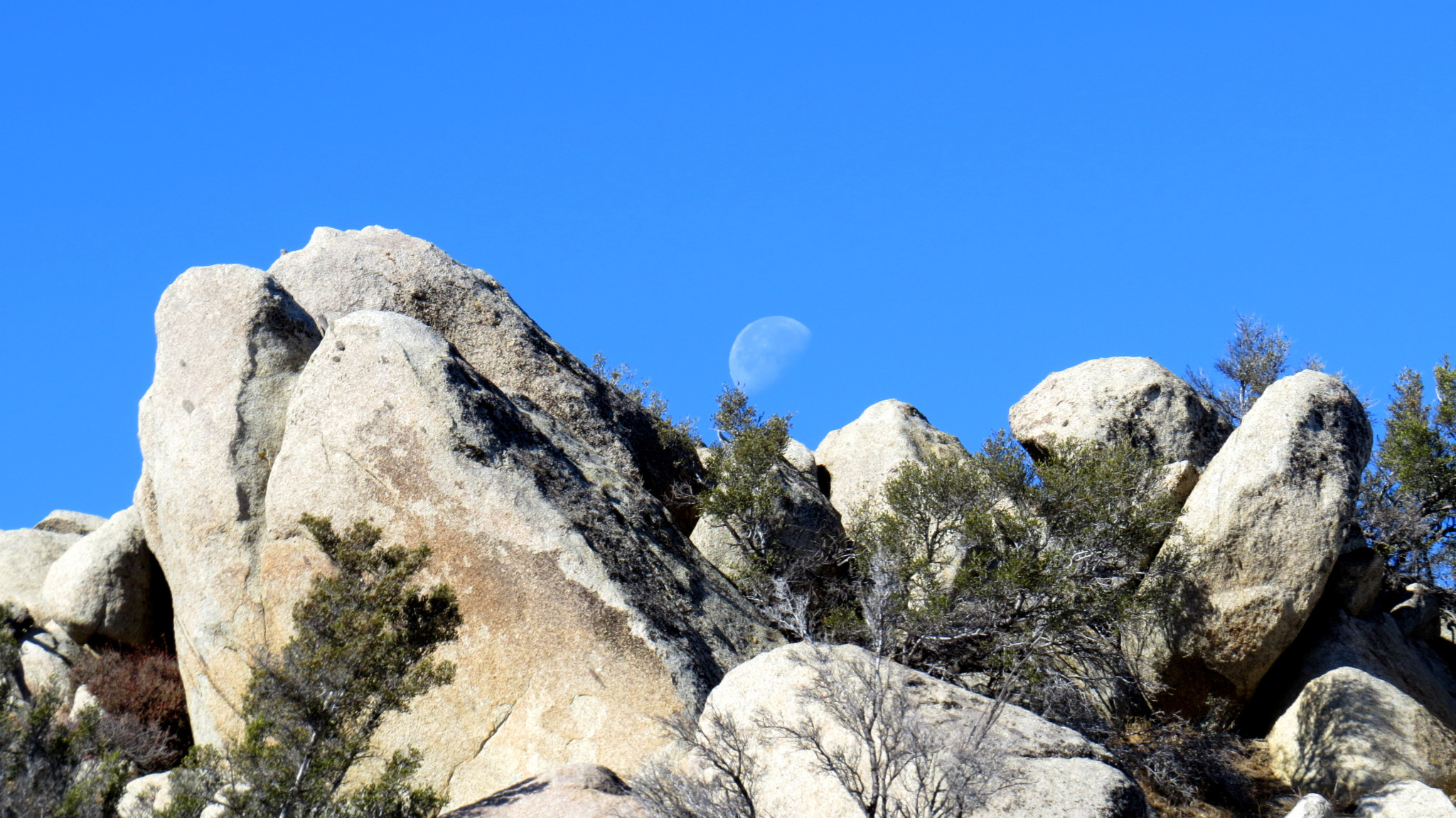
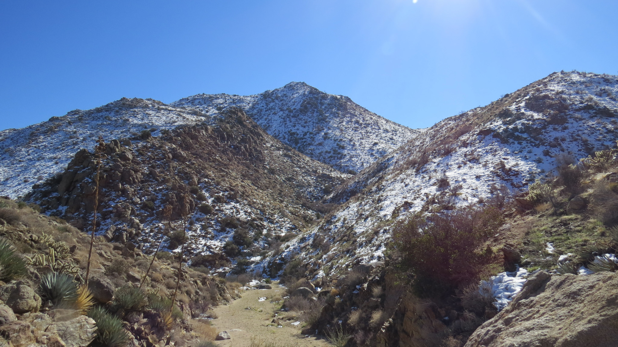
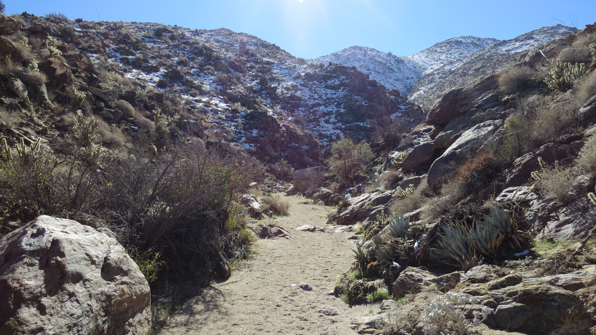
This route begins at the mouth of Cool Canyon, which only lives up to its name during December, January, and sometimes February. Follow the wash into the canyon, which features an interesting sequence of geological features. Numerous small dry falls formed by dikes of granitic and metamorphic rocks afford the opportunity for some enjoyable scrambling. None of these falls are formidable, and they offer a nice break from walking on the soft, sandy surface of the wash.

At 1 mile into the canyon, you reach a small cove where several tributary drainages converge. Take a right at this confluence and circumvent a 10 foot dry fall by scaling the slope to the left. Once atop this fall, a cairn may mark the beginning of the route. If no cairn is available, proceed due west directly uphill to begin the arduous ascent of Granite Mountain.

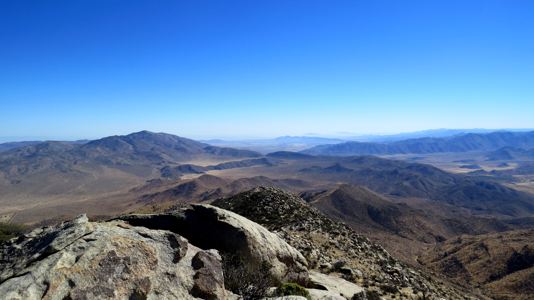
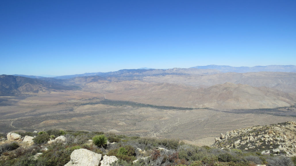
Peak 5184
At first, the climb proceeds steeply but without serious obstacles. You gain elevation at a steep, but steady pace as you pick your way through agave cactus scrub. As you progress, junipers join the vegetation schema, while more and more granite boulders begin to protrude on the hillside.

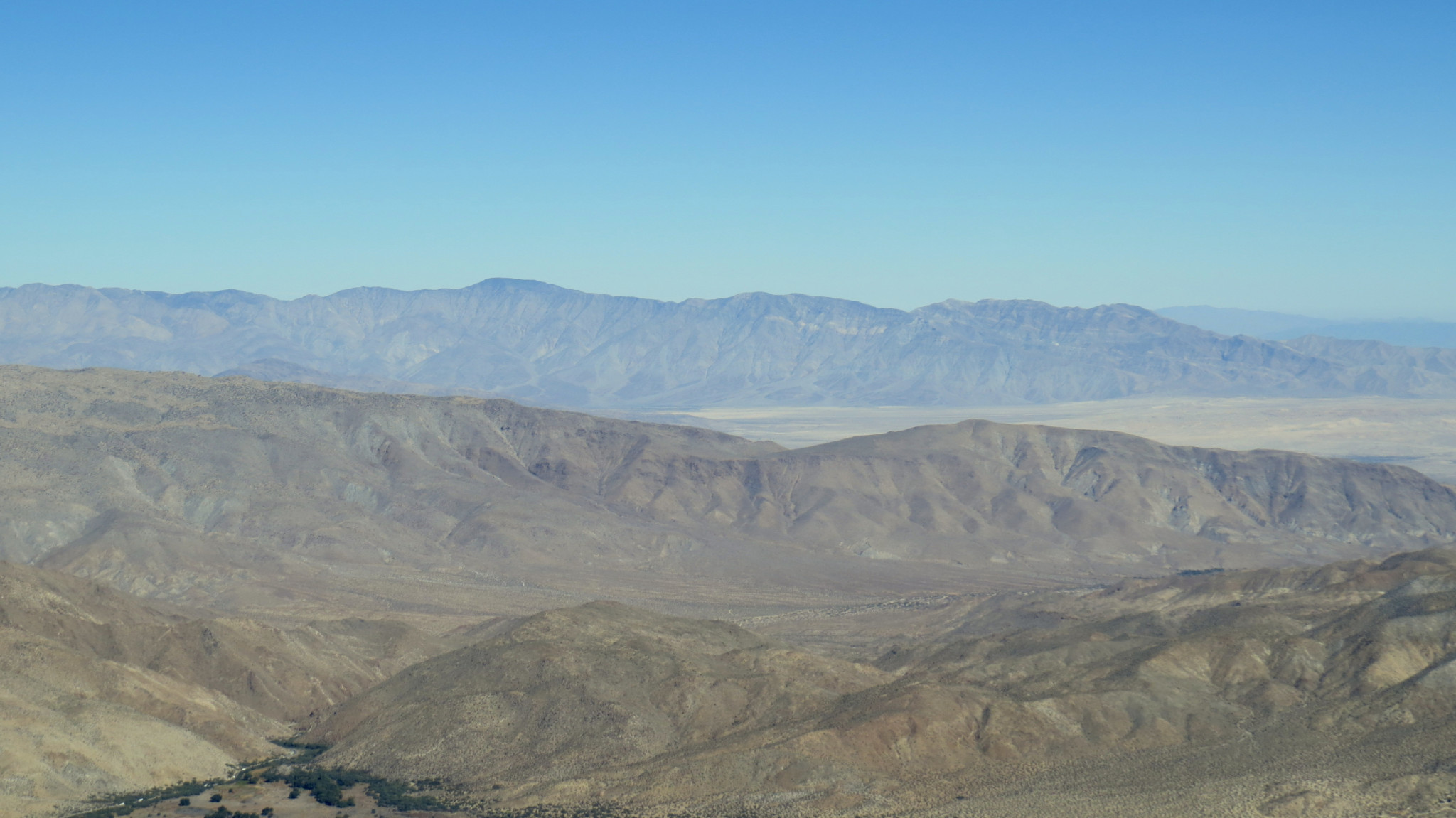
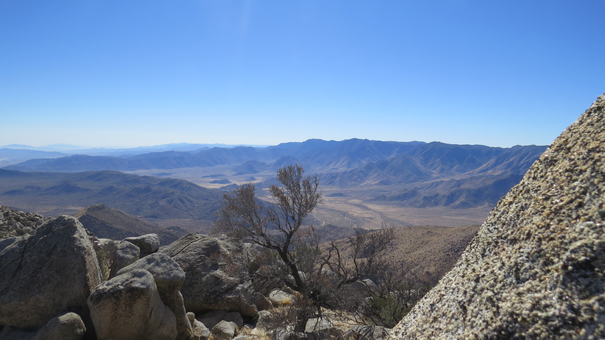
As you climb, aim for the point on your topo map labeled Peak 4624. This point is 2.2 miles and 2,000 feet of climbing into the hike, and several pinyon pines offer enough shade to facilitate a pit stop to refuel some of the calories you’ve sacrificed to the mountain. The views south and east from this spot are impressive. The solid wall of the Laguna Crest drops spectacularly down to the desert floor. The Carrizo Badlands shimmer in a heat haze to the southeast, while Whale Peak’s wooded summit looms across Blair Valley.

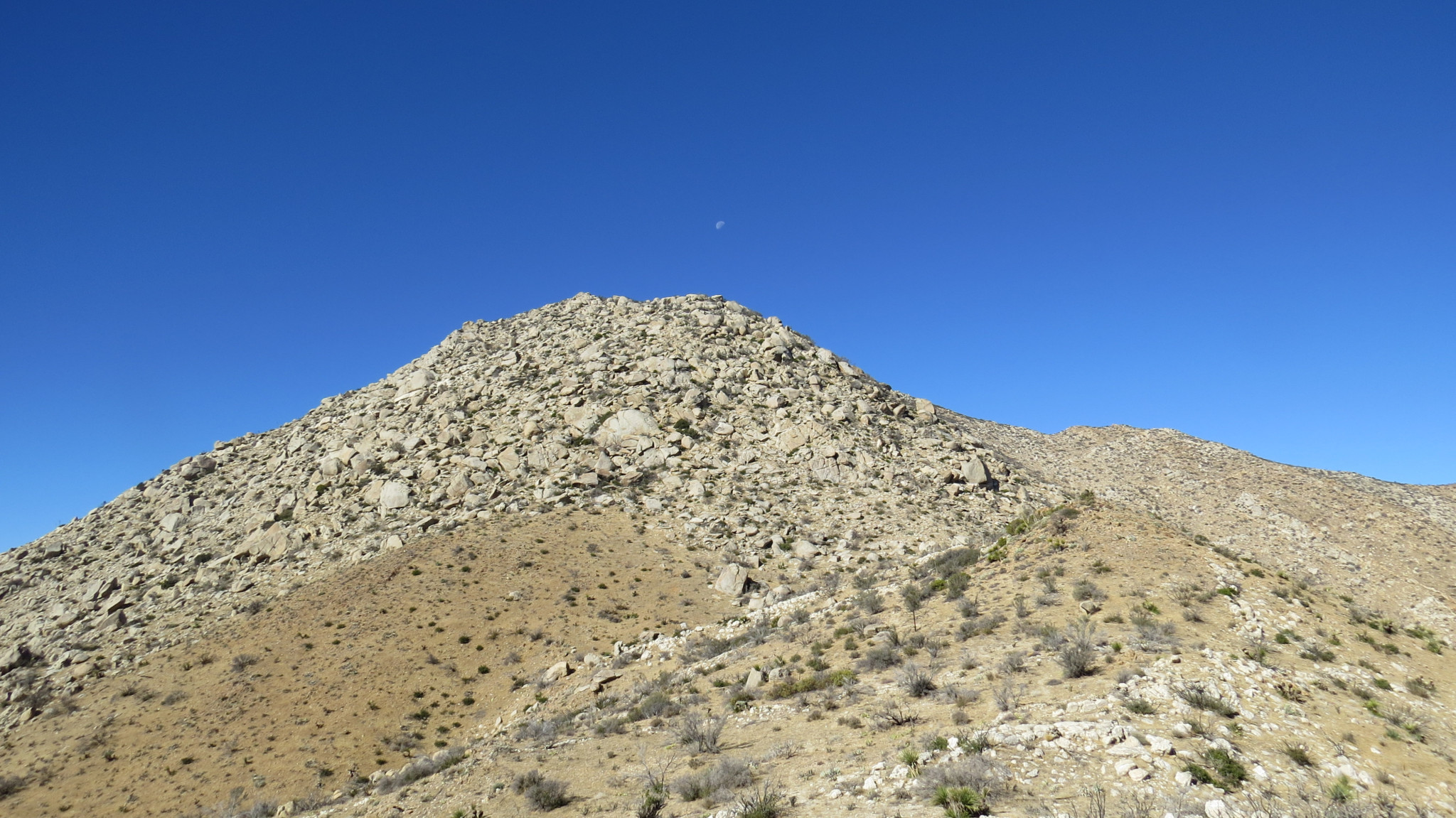
From Peak 4624, descend into a small valley before coming to the principal obstacle on this hike: a steep, sandy climb through a maze of boulders and vegetation that will surely leave you gasping for breath and begging for mercy (or at least having an absolute blast from the challenge). Take your time on this part of the climb, as the grade approaches 2,500 feet per mile, making it one of the steeper pitches you’ll find in the Anza-Borrego Desert region.

The ascent begins to mellow out a bit after this slope is behind you. From here to the summit, you’ll continue climbing at a more reasonable 1,000 feet per mile pitch, as you weave in and out of vegetation representative of the transition zone between montane habitats and high desert habitats. A path threads its way through many thick growths of scrub oak, mountain mahogany, and juniper. In other spots, you’ll see plenty of burnt vegetation left over from the 2013 Great Fire that swept the slopes and summit of Granite Mountain.
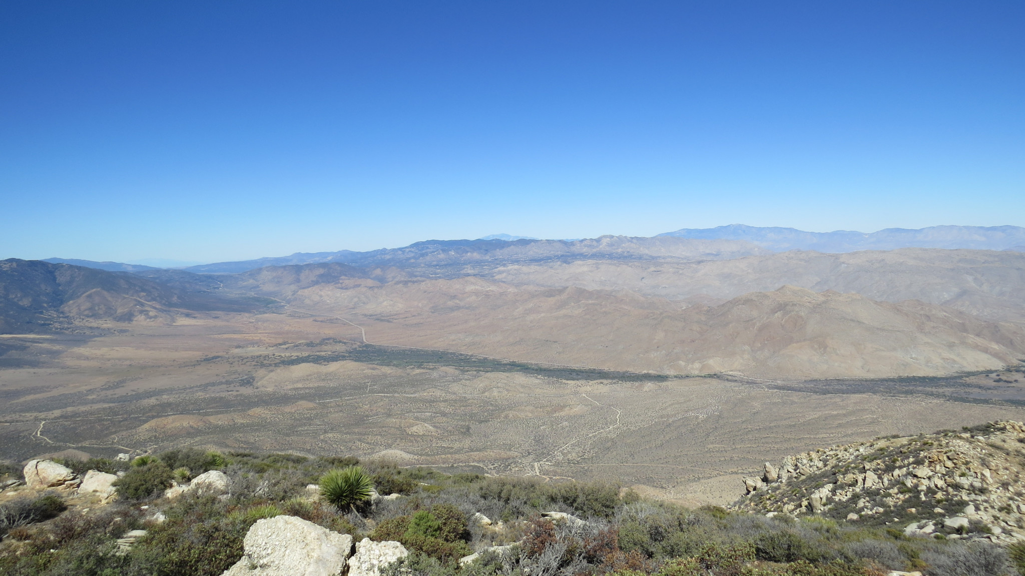
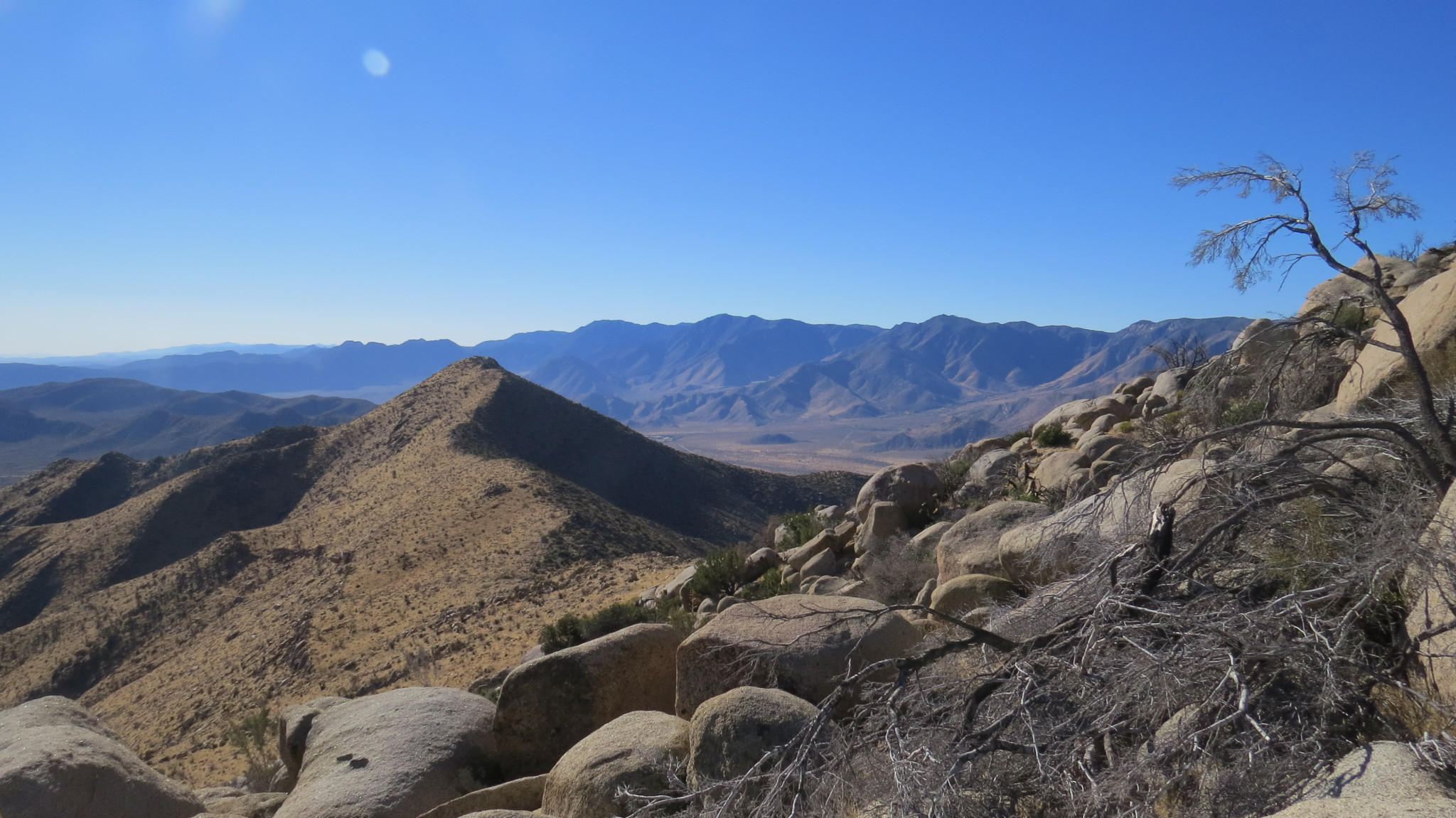
San Felipe Valley
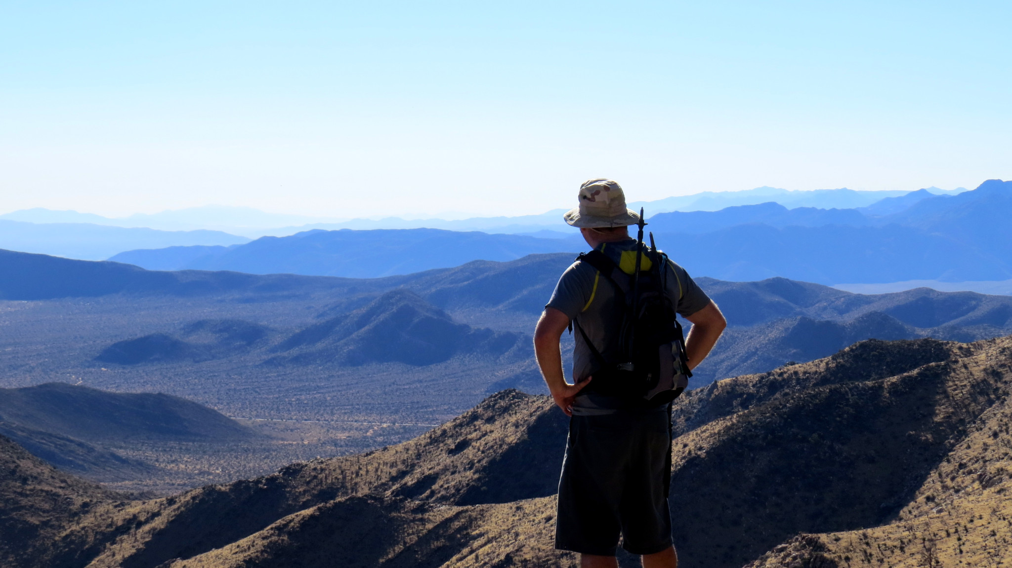
The path swings around the southern base of the summit block before climbing and sometimes scrambling through vegetation and boulders up to the eastern tip of the peak. Once at the peak, there’s a small “leap of faith” as you have to pull yourself onto the large granite slab marking the summit. A summit register affords the opportunity to record your triumph for posterity, and the spacious slab is a comfortable spot to wile away a sunny hour full of remarkable views and shared triumph.
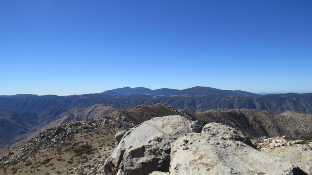
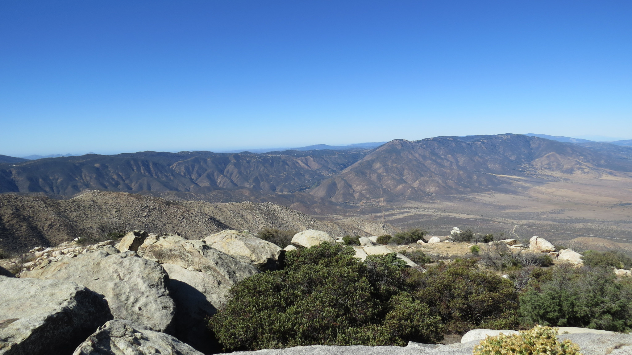
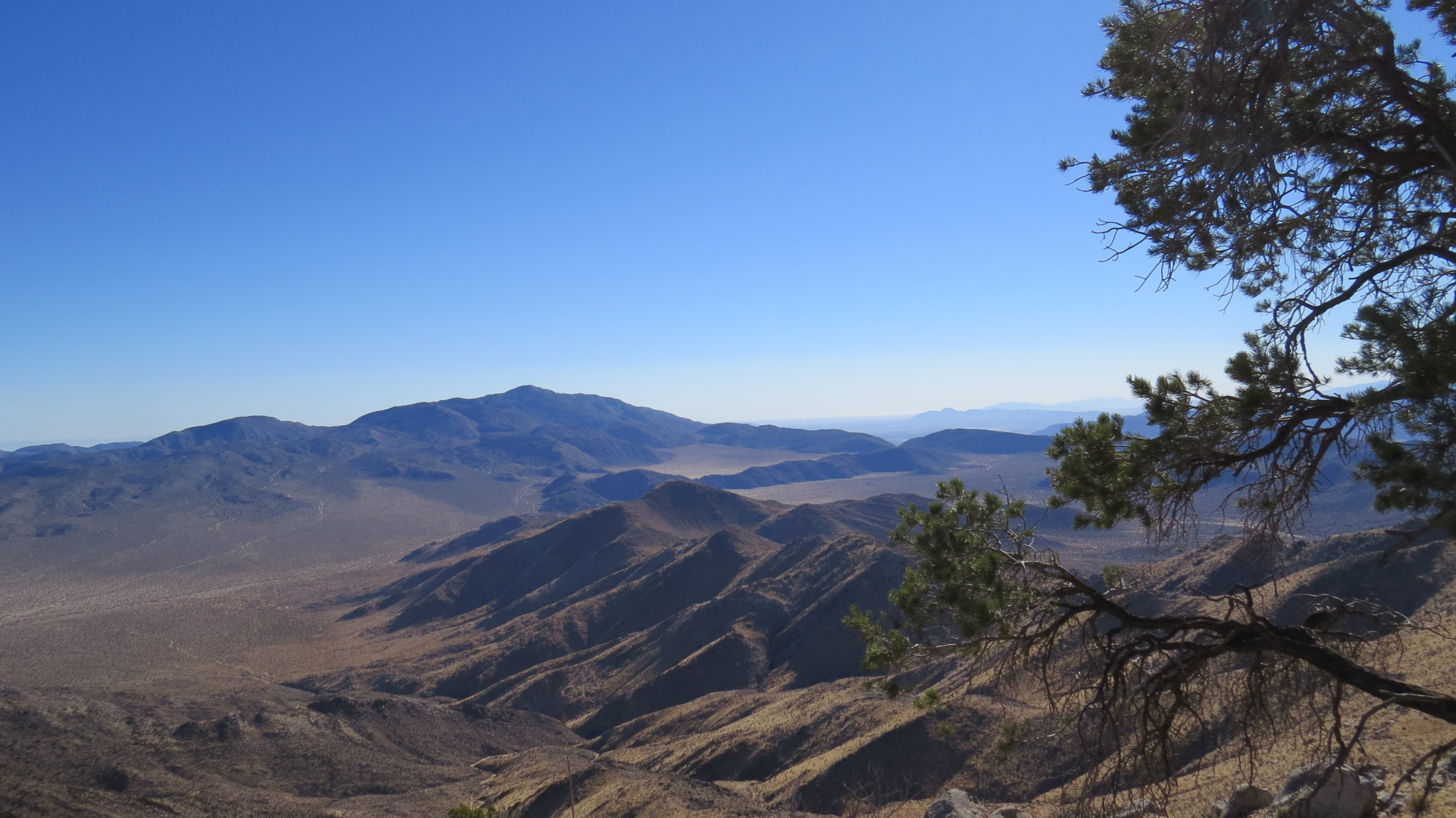
The Cuyamaca Mountains
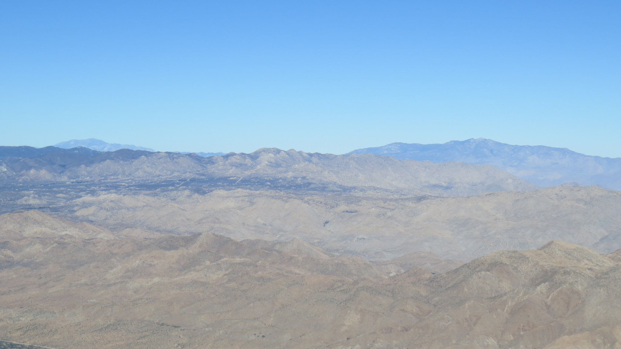
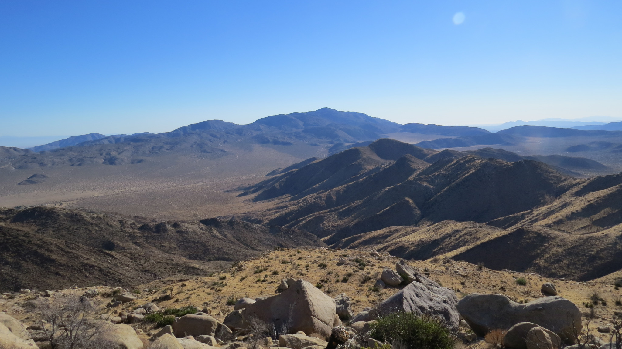
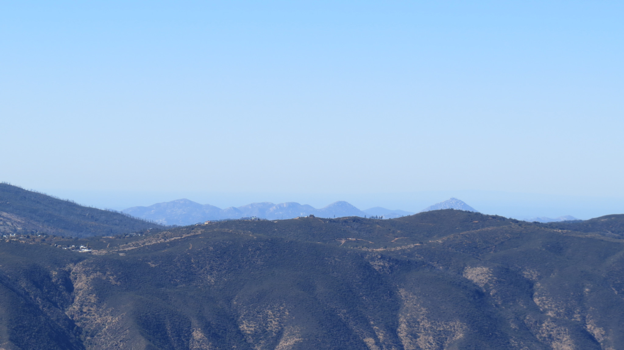
From the summit, turn to the north and see if you can pick out the following landmarks: Mt. San Gorgonio, Mt. San Jacinto, Santa Rosa Mountain, Toro Peak, Rabbit Peak, Pinyon Ridge, and Villager Peak. To the east, look for Pinyon Mountain, Whale Peak, the Elephant Knees, the Salton Sea, the Carrizo Badlands, and the Fish Creek Mountains. To the south, look for the Coyote Mountains, the Yuha Desert, Jacumba Peak, Carrizo Gorge, and the In-Ko-Pah Mountains.
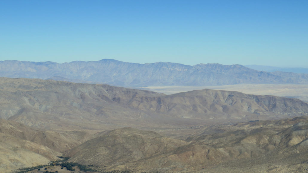
From front to back, Vallecito Mountains, Borrego Valley, and the Santa Rosa Mountains
To the southwest and west, see if you can spot Monument Peak, Garnet Peak, Stonewall Peak, Cuyamaca, Middle, and North Peaks, and slivers of some of San Diego’s coast. Far beyond, if it’s clear, you’ll spot glimpses of the cobalt expanse of the Pacific as well as Santa Catalina Island. To the north once again, let your view range across Julian and the Volcan Mountains, San Felipe Valley, the Palomar Mountains, Hot Springs Mountain, and the San Felipe Hills. There are few desert peaks with as comprehensive of a view. Bring a map of the region to aid you in identifying these landmarks.
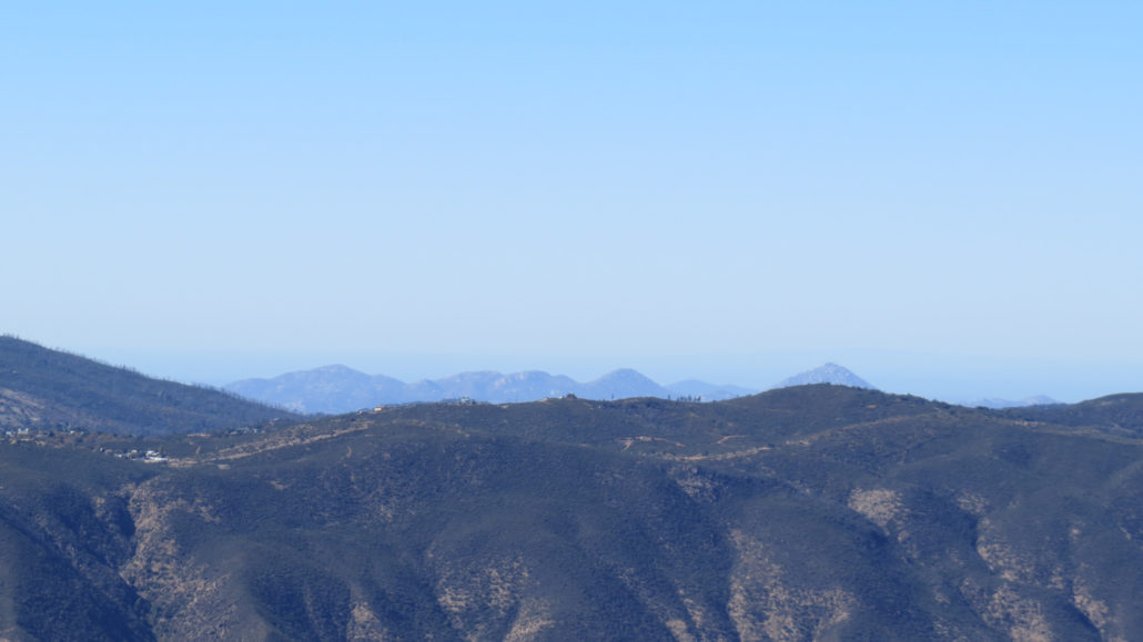
Woodson and Iron Mountains beyond Julian
Don’t get too comfortable up top, even though it’s an incredibly relaxing spot. You still have an arduous decent down to Cool Canyon ahead of you. That nasty pitch you climbed after Peak 5184 is even nastier going downhill, and it will take a considerable amount of energy and focus. It will be a relief to reach the sandy bottom of Cool Canyon, and the sense of accomplishment should give you a heady hiker’s buzz as you scramble down the canyon’s gentle dry falls all the way back to your car.
Tags: Anza-Borrego Desert, Blair Valley, Butterfield Stage Road, Cool Canyon, Granite Mountain, Shelter Valley