If you’re an avid Southern Californian hiker, then I’m sure you’re familiar with at least some of the peaks in the San Gabriel Mountains. Of course, there’s Mount Baldy, this range’s crown jewel that has captured the hearts of many. Even lesser-known mountains like Strawberry Peak and Mount Baden-Powell are well-traveled. Hoyt Mountain, however, isn’t on most people’s radar, which is understandable but a shame.
At 4,404 feet high, Hoyt’s numbers don’t especially impress. But on a lollipop hike starting by the Clear Creak Visitor Information Center, you’ll experience California chaparral, river crossings, pine forests, dreamy foliage tunnels, challenging climbs on exposed trail, 1,700 feet of cumulative elevation gain, AND Hoyt Mountain’s summit – all packed into 5.5 miles. For a trail this length, it’s one of the most diverse and complete hiking experiences that you’ll find, taking you on an adventure you won’t soon forget.
Trailhead parking is easy and available, with a large dirt lot close by as well as plenty of space along the shoulder of the Angeles Forest Highway next to the Clear Creek Fire Station. There is also a vault toilet and trash cans nearby for hikers to use. Once settled and ready to go, hug the outskirts of the station and walk to the far side of the firetruck driveway to find your starting point – the Natures Canteen Trail.
The Natures Canteen Trailhead. It’s unmarked and if you walk past the fire station you’ve gone too far. Shot on Kodak Portra 400 film.
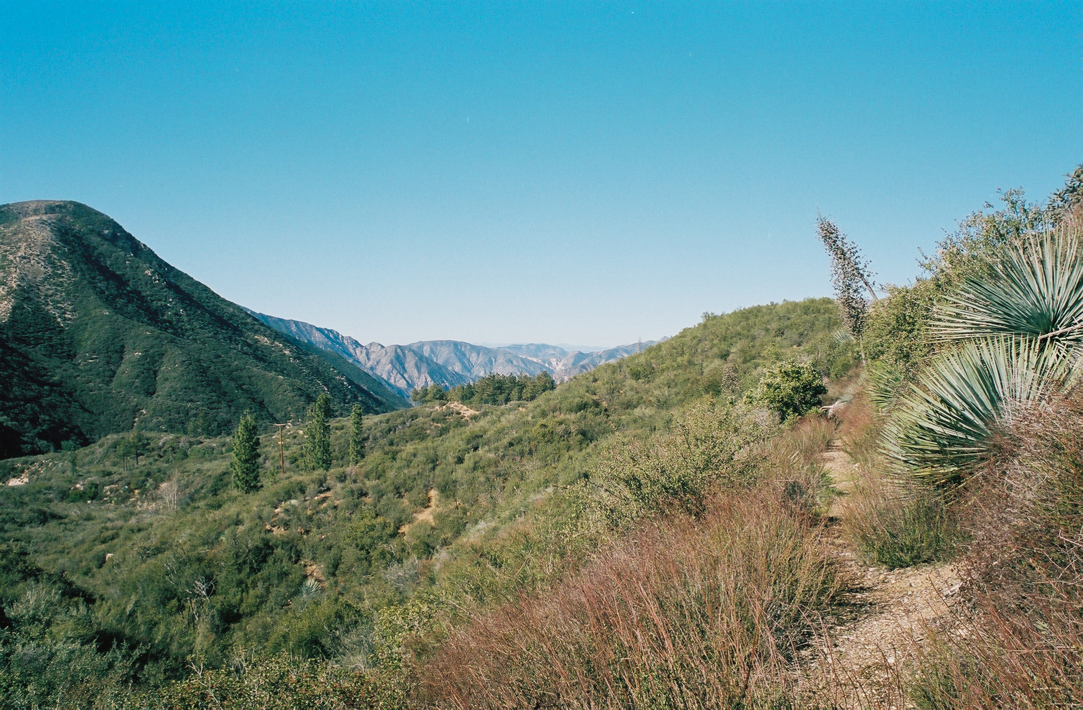
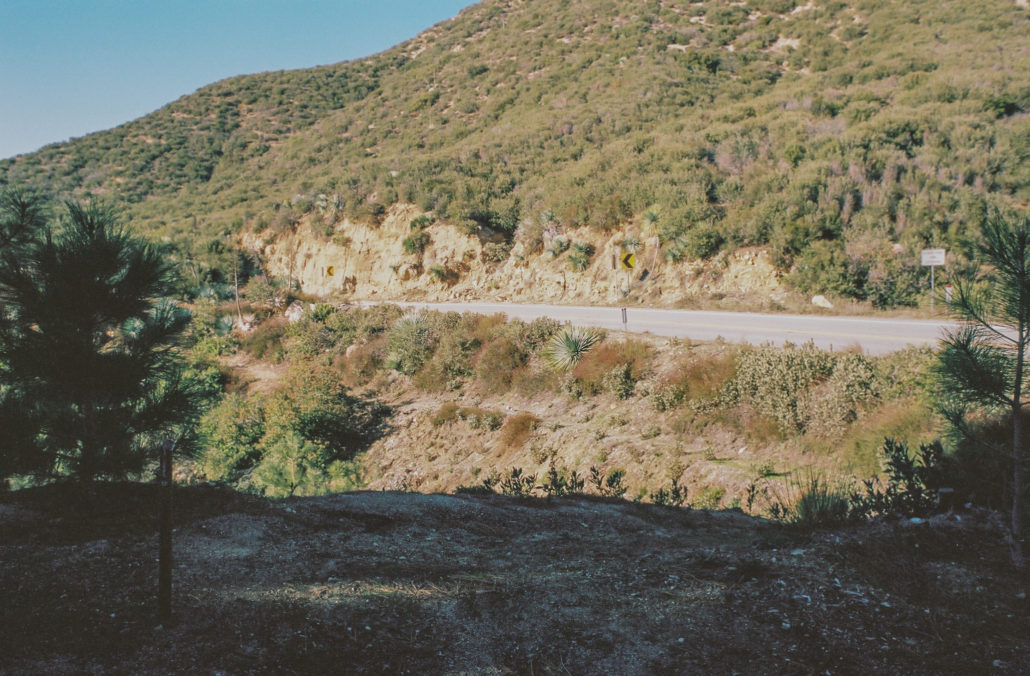
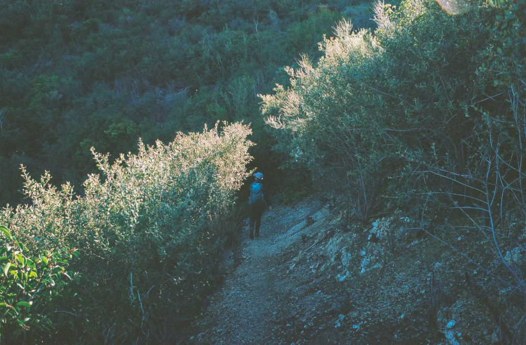
As you begin this hike, you will traverse along a lightly used but well-maintained single-track trail that skirts just below the highway. Easily the friendliest of the several distinct experiences of your day, enjoy this easy hiking while shaded by chaparral. Surprisingly, although this route is close to the road, we also hardly noticed the vehicles driving just above us. At 0.5 miles, you will reach the beginning of the loop. Turn right and after about 0.3 miles you will enter the Pines picnic area.

The first 0.5 miles of this hike are on an out-and-back trail that follows the highway. Shot on Kodak Portra 400 film.
Seemingly out of nowhere, a dreamy pine forest emerges and provides a nice contrast to the shrubbery you’ve been hiking through so far. It’s also a good spot for a short rest if you so choose. Note that the trail disappears here, but if you head southwest you should be able to find it again.
The next 0.4 miles will take you along an infrequently maintained trail that was slightly overgrown when we hiked it. There were several instances where we had to duck under branches, but nothing too challenging or difficult.
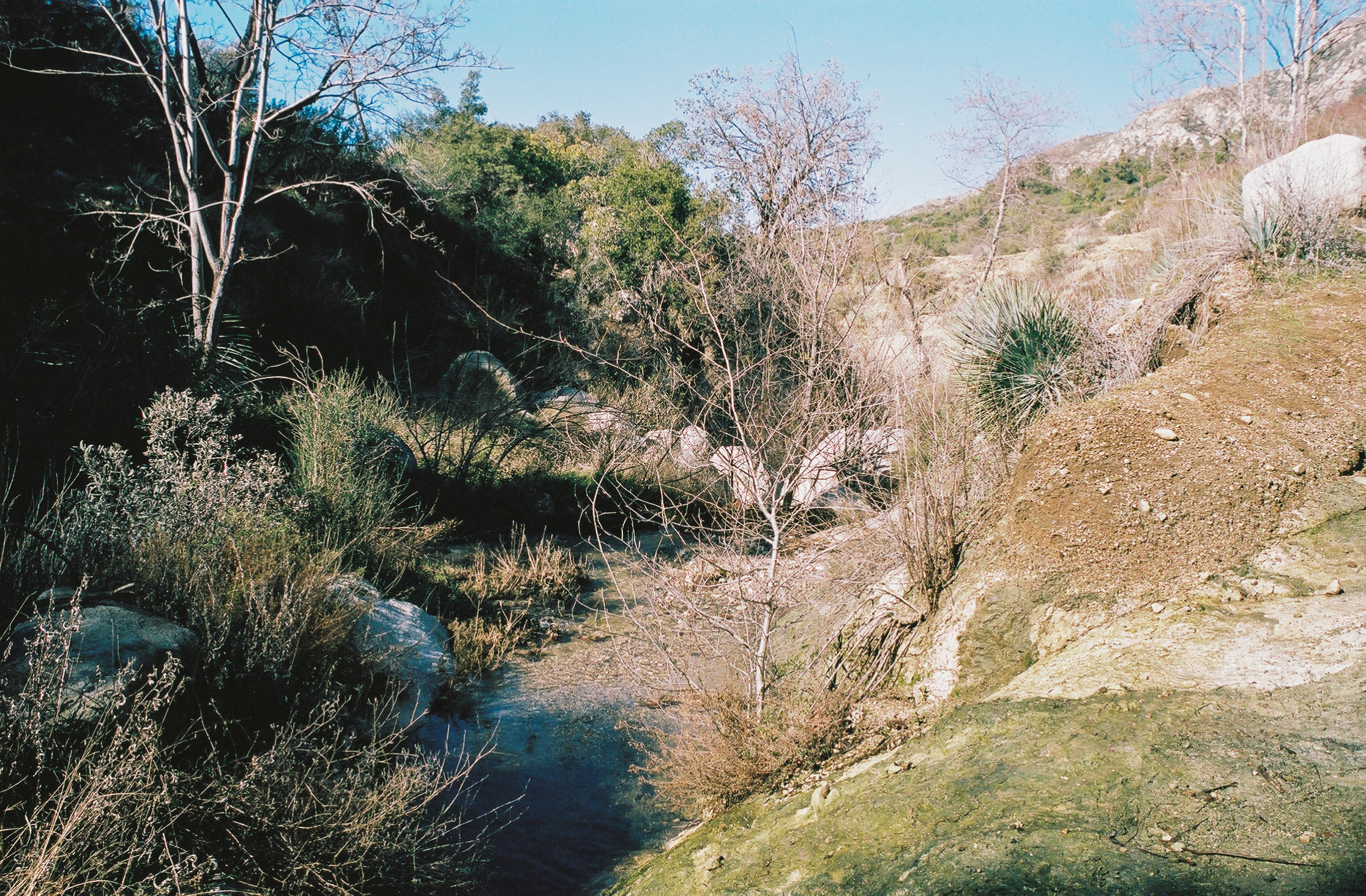
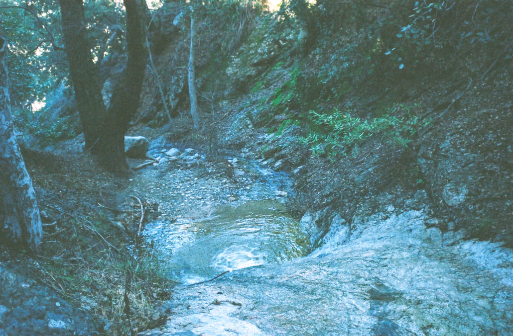
At 1.3 miles, turn left to join the Telephone Trail and head toward your next challenge – crossing Clear Creek. Don’t worry too much though, as the stream is easily traversed. Once reaching the other side, you’ll begin your ascent to the peak.
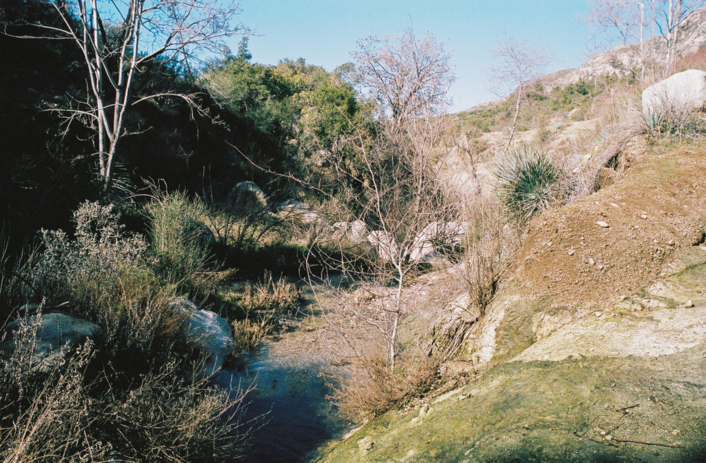
The first of two water crossings over Clear Creek. Shot on Kodak Portra 400 film.
For the next 1.5 miles, you’ll gradually meander your way around Hoyt Mountain’s north face. Initially still surrounded by vegetation, as you climb the right side of the trail will open up several times and give you unobstructed views of the valley you came from and the Clear Creek Outdoor Education Center, Los Angeles Unified School District’s mountain classroom.
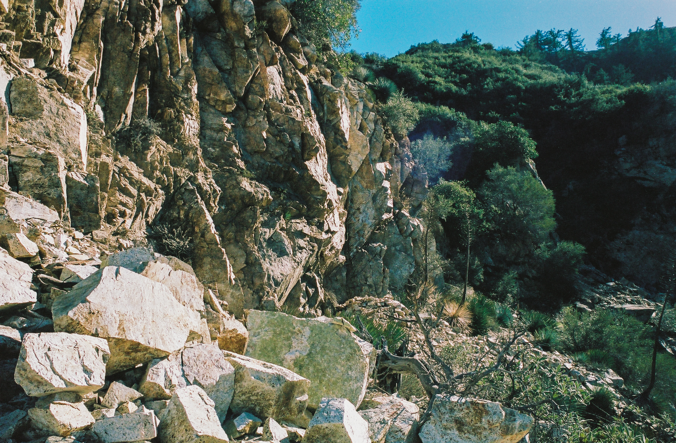
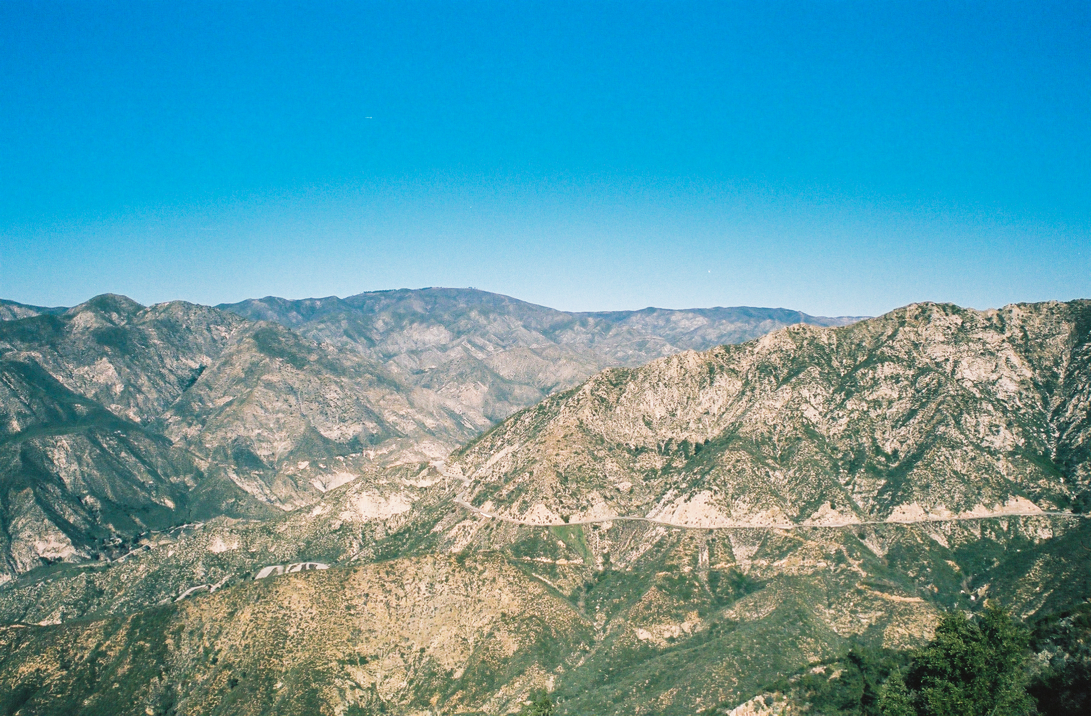
Continuing higher, piles of granite begin to appear to your left, showcasing the rock that makes up most of the San Gabriel Mountains. It’s clear that this section was carved directly out of the side of the mountain – be careful, as there are several cliffsides with serious drop-offs. You’ll eventually reach a transmission tower, indicating that you’ve made it to Tank Saddle. Here, the Los Angeles sprawl reveals itself to you for the first time. Take some time to rest and enjoy the view, as the next section turns the difficulty up several notches.
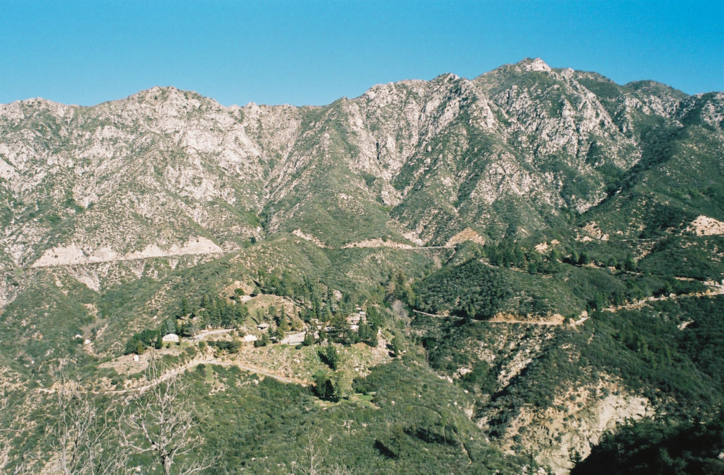
As you climb, the mountain views get better and better. Shot on Kodak Portra 400 film.
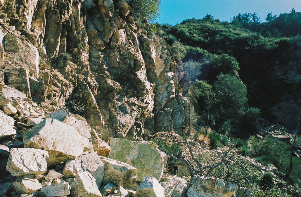
Exposed granite rock piles are scattered along this section of the trail. Shot on Kodak Portra 400 film.
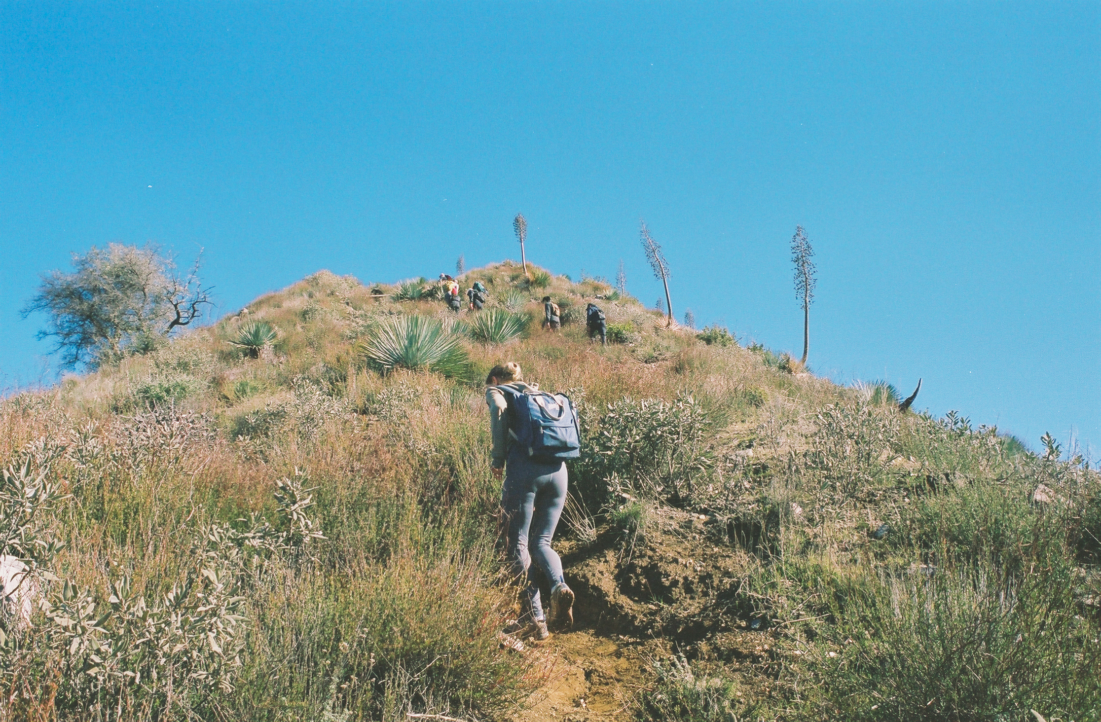
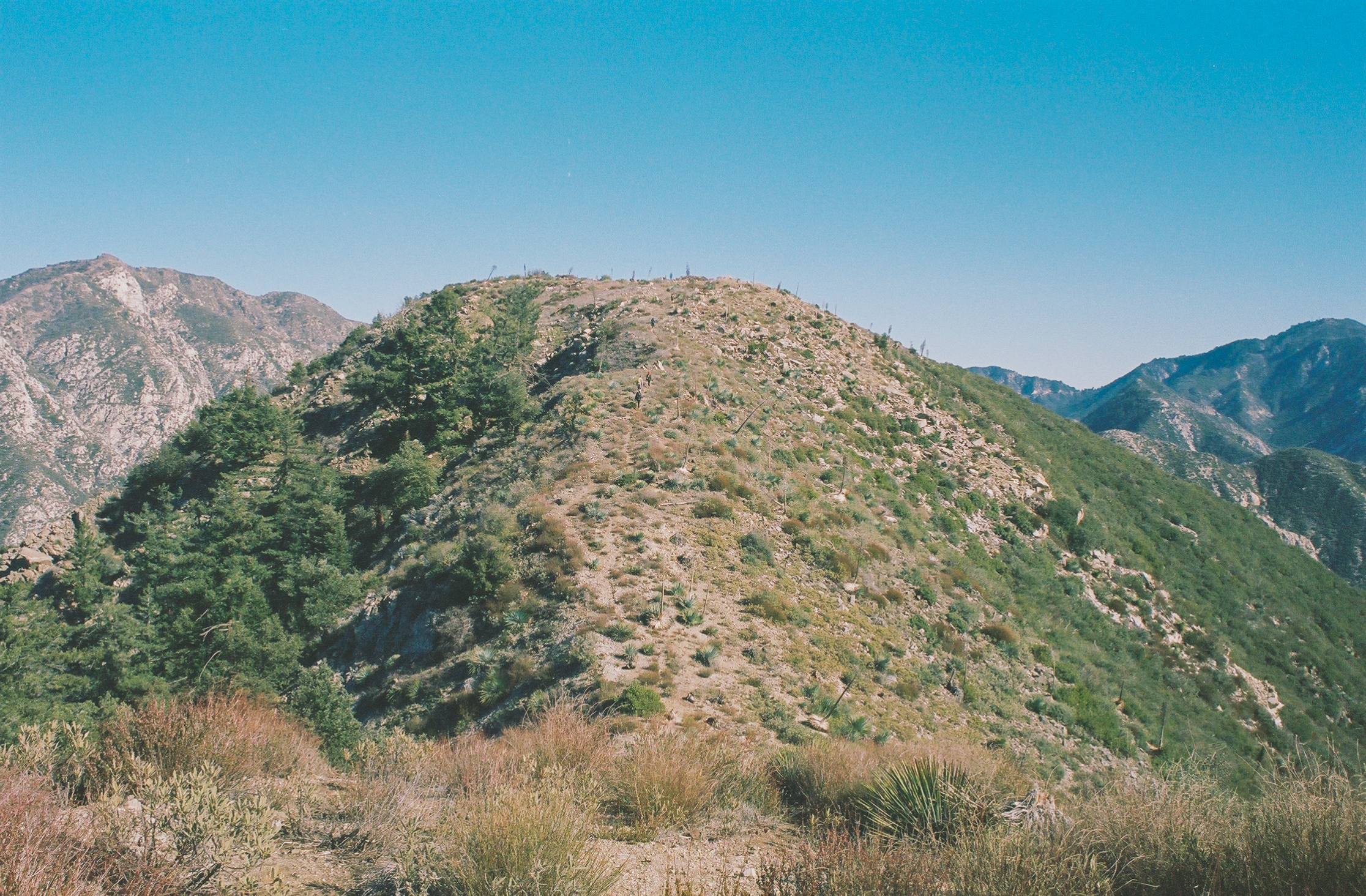
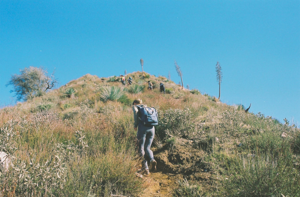
To reach the summit of Hoyt Mountain, head east and up the exposed ridgeline. The trail dramatically steepens and, despite our maps showing that we were now on a firebreak, becomes faint, narrow, and hard to follow. To make this situation even more treacherous, spikey plants such as the Chaparral Yucca line your path, making scrapes and cuts a real possibility for those in shorts. Endure this challenge for 0.4 miles to reach the peak.
The climb to the top is not for the faint of heart. Quality hiking shoes and pants are recommended. Shot on Kodak Portra 400 film.
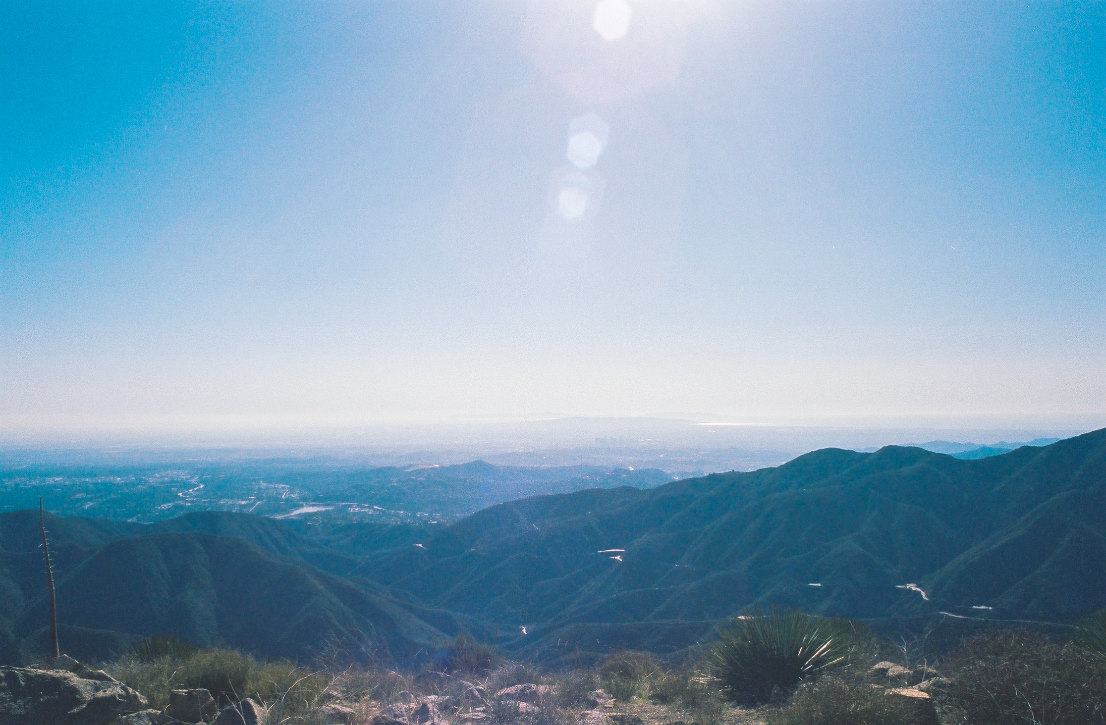
There are plenty of spots to spread out and rest atop Hoyt Mountain, as its summit is spacious and flat. And on clear days like when we went, you’ll be able to see all the way to Catalina Island, 75 miles away. After a snack break, we began our descent down the mountain.
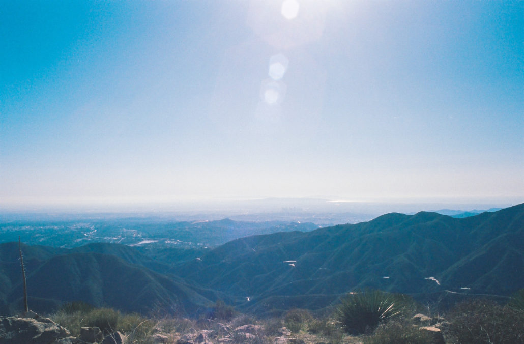
Summit views of Los Angeles and Catalina Island. Shot on Kodak Portra 400 film.

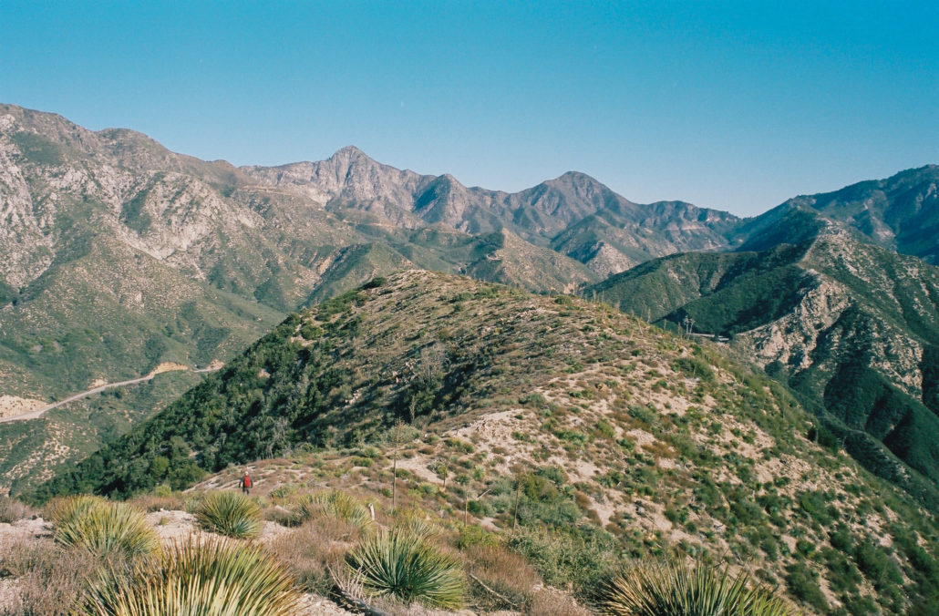
The San Gabriel Mountains from the summit. Shot on Kodak Portra 400 film.
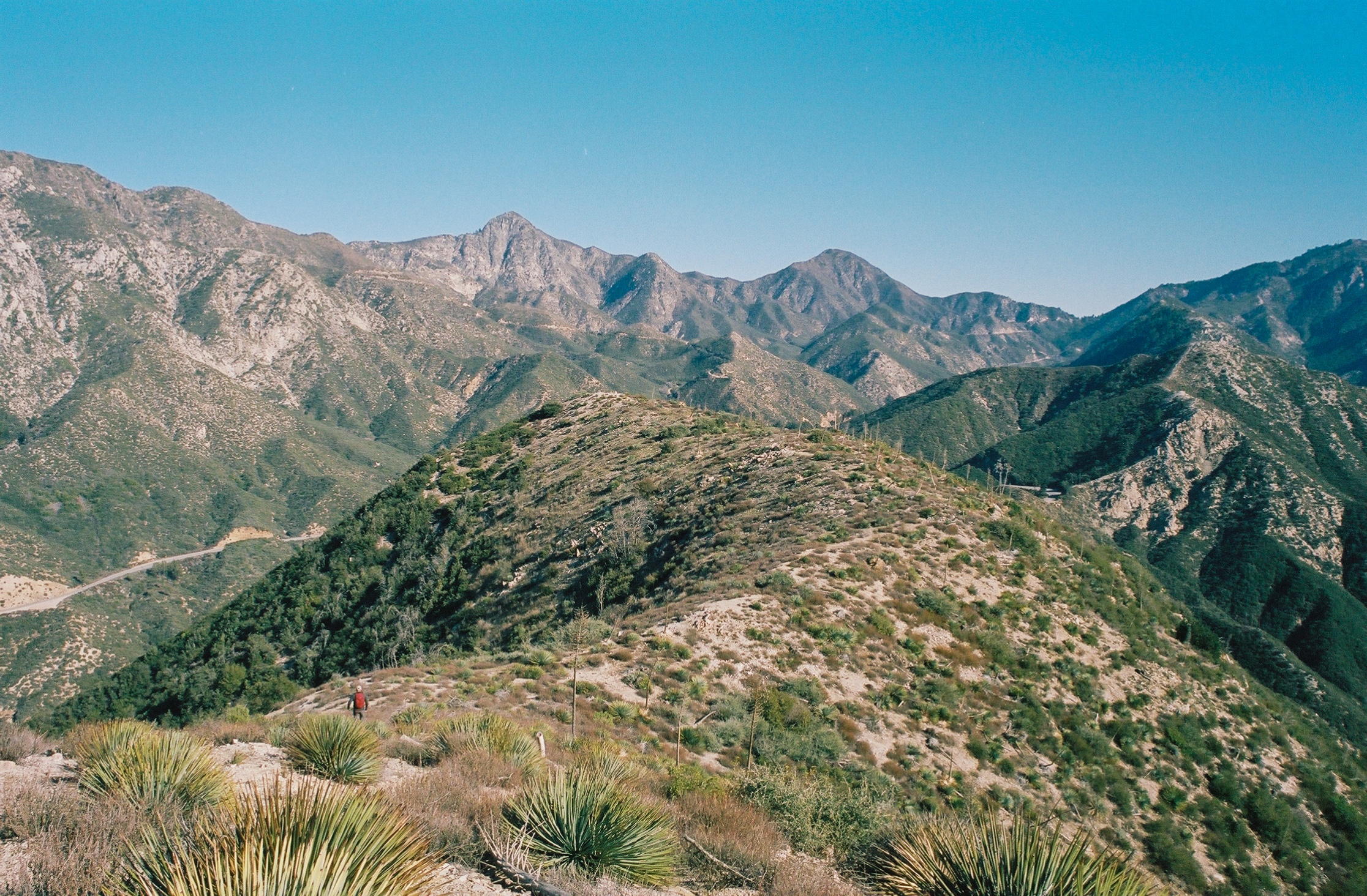
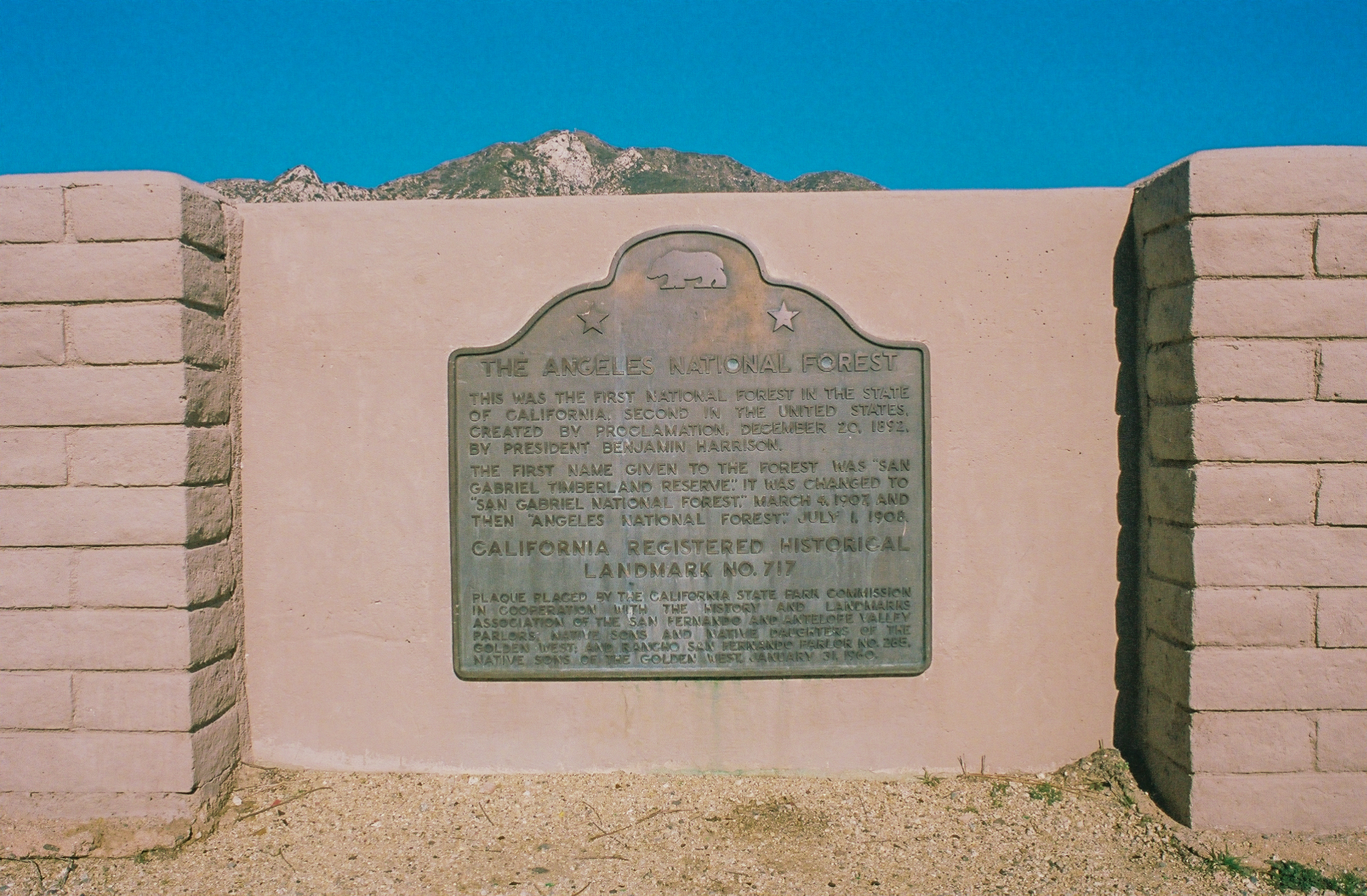
Like your final push to the top, the first half mile of your journey downhill is harrowing. The trail is steep and nonexistent at times, forcing you to forge your own path past plants that feel like they’re actively trying to hurt you. We ended up following the ridgeline for the first 0.3 miles post-summit until finding the trail again. Once you’ve reached Georges Gap, you can relax knowing that the hardest part of this hike is behind you. There are also several informative monuments here that tell the history of the Angeles National Forest designation.
There was no trail for our initial descent down Hoyt Mountain, so we followed the ridgeline until finding a path further down. Shot on Kodak Portra 400 film.
As you work your way down, you can spot where you started. Shot on Kodak Portra 400 film.
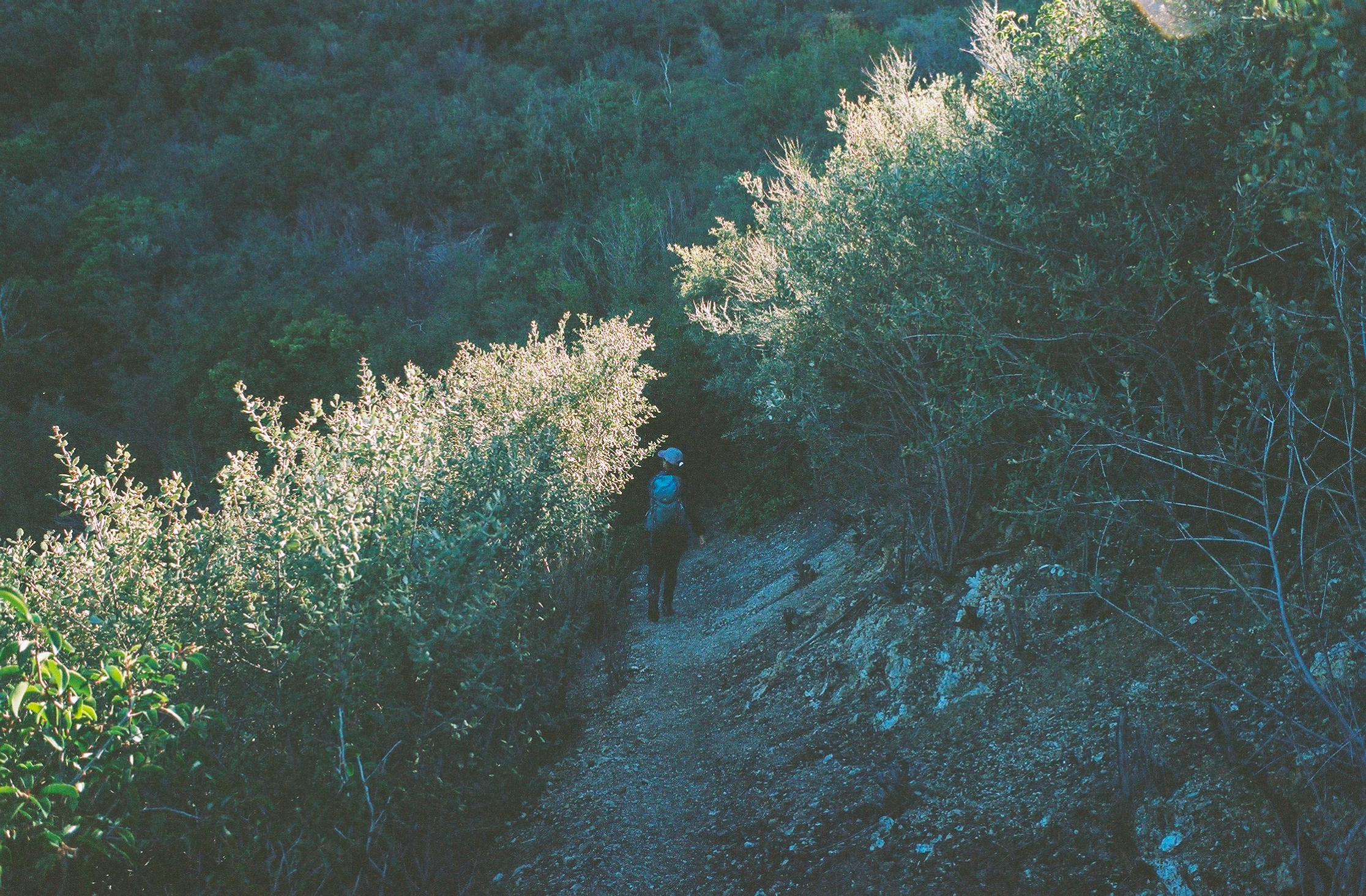
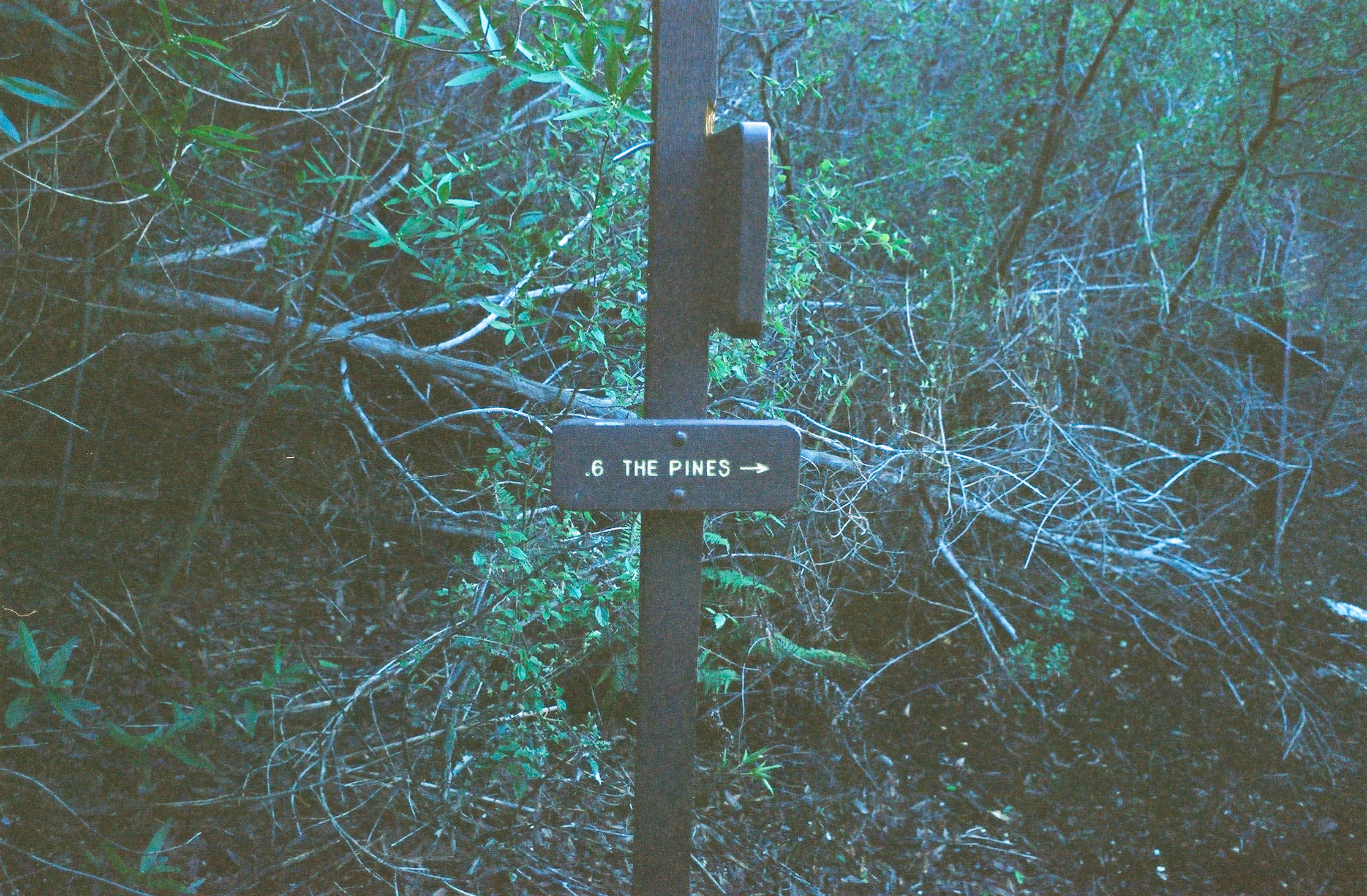
Continuing with your journey, you will turn left and head down into the valley via the World of Chaparral Trail. This section of your hike eases up and is by far the most enchanting, as the trees and chaparral form a tunnel that makes you feel like you’ve entered a fairy tale. Gradually descend a series of mellow switchbacks for 0.8 miles before turning right at the “. 6 THE PINES” sign and re-crossing Clear Creek – accidentally go straight and you’ll find yourself heading back up the mountain.
Entering the World of Chaparral Trail, you’ll feel as though you’ve been transported to a cool, green oasis. Shot on Kodak Portra 400 film.
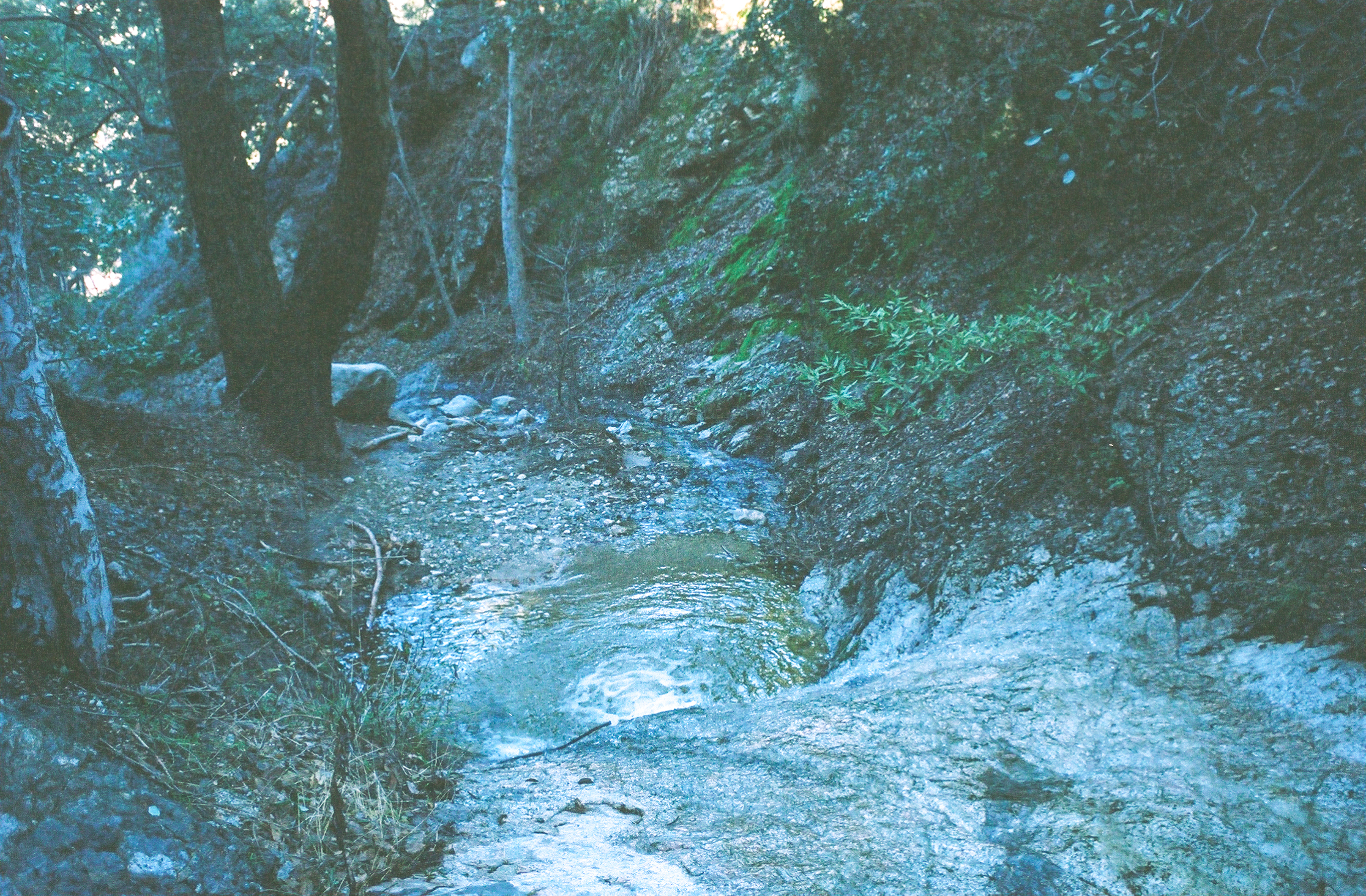
Your second and final water crossing. Shot on Kodak Portra 400 film.
Follow the trail northeast for 0.5 miles to complete the loop portion of this hike. Turn right and hike for half a mile to return to the trailhead.
Tags: Angeles National Forest, california, chaparral, geology, Hiking, rivers, San Gabriel Mountains, socal summits