Will Thrall Peak is one of the most rugged, challenging, and remote peaks in the San Gabriel Mountains. An absolutely epic day hike no matter which way you choose to tackle it, your effort and perseverance will be returned in kind with equal doses of jaw-dropping beauty, peaceful solitude, and a profound connection with the seemingly-untouched wilderness of the high country.
In other words – this is a really, really great hike – once you’ve worked yourself up to being worthy of it.
This route tackles the peak from the south, starting at the beautiful Buckhorn Campground – an excellent place to set up base camp if you want to explore more of the amazing landscape in this part of the San Gabriel Mountains or if you want to start extra early to give yourself enough time to bag Will Thrall’s summit. An alternate route to this peak approaches the peak from the north, heading southward from the Devil’s Punchbowl.
Before you get going, though, a word of warning about the elevation gain – while there is only a 1318-foot difference between the trailhead and the summit of Will Thrall Peak, this does not take into account the 840-foot drop the trail makes in its first 1.7 miles — or the fact that you’ll have loss and gain on both the hike to the summit and the hike back to the trailhead — or the difficulty of that final push from Burkhart Saddle to Will Thrall Peak. Before you tackle this route, be sure you’re in good shape and definitely give yourself more time than you think you’ll need to complete it.
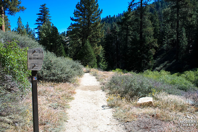
Begin at the end of the Buckhorn Campground, following the signs for the Burkhart Trail. There are a few parking spots near an outhouse and a very prominent trailhead sign, which also marks the Burkhart Trail as part of the High Desert National Recreation Trail, a 27-mile route from Buckhorn Campground to Vincent Gap via the Mojave Desert.
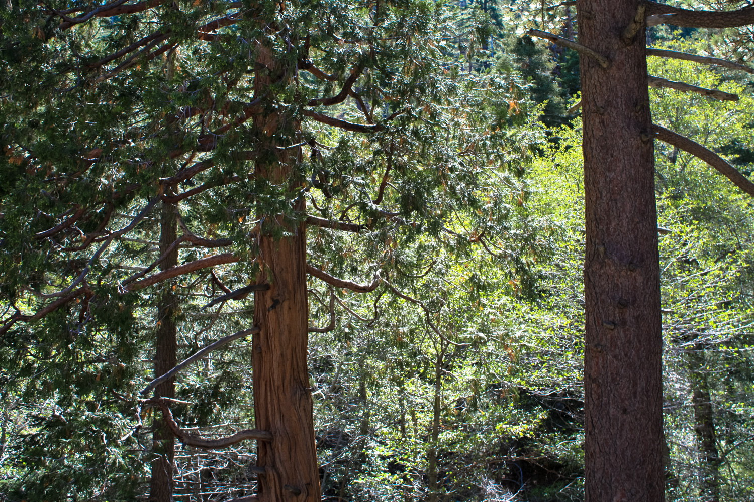
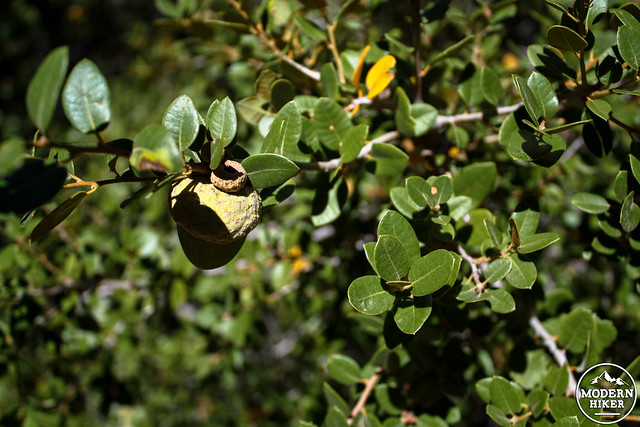
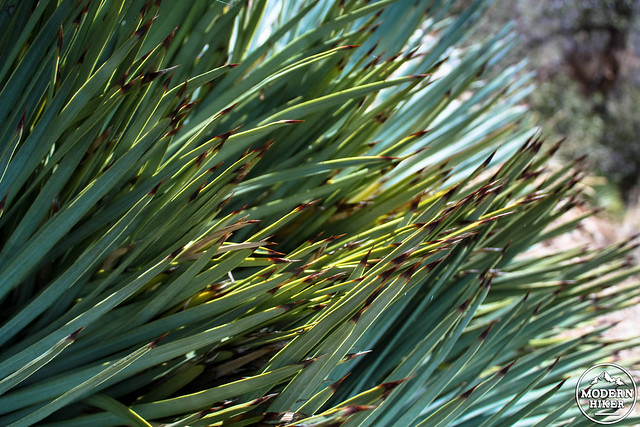
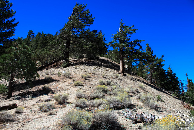
If you haven’t spent much time in the San Gabriel high country, prepare to be charmed by this trail. Almost immediately, you’ll be surrounded by towering Douglas fir and Jeffrey pines and higher-elevation chaparral. Much of this route is along north-facing slopes and in deep, shaded canyons, meaning the temperature is likely to be a bit cooler than whatever closer-to-sea-level city you drove in from.
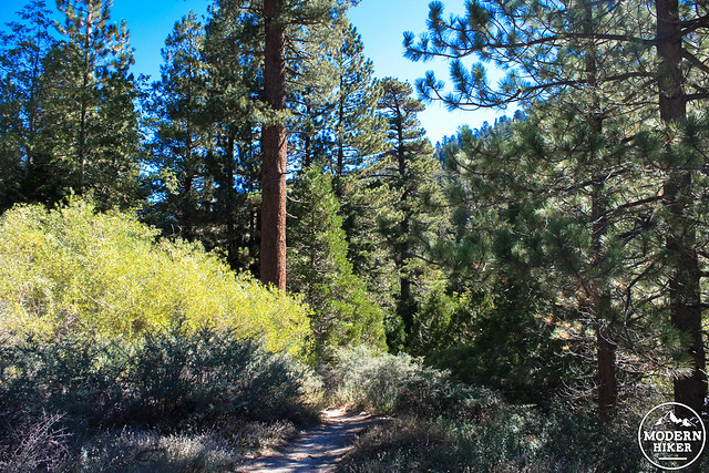
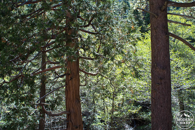
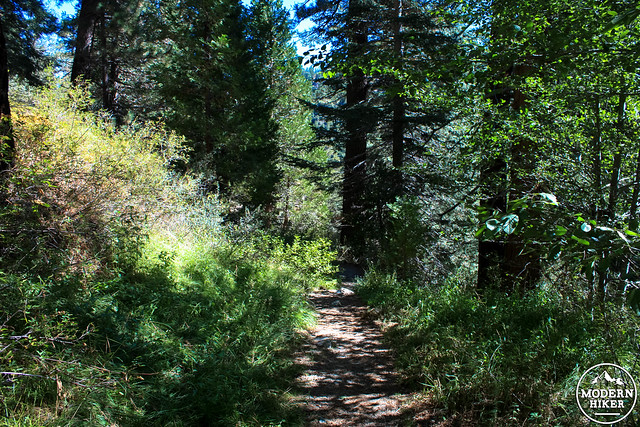
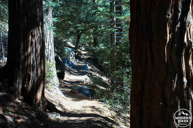
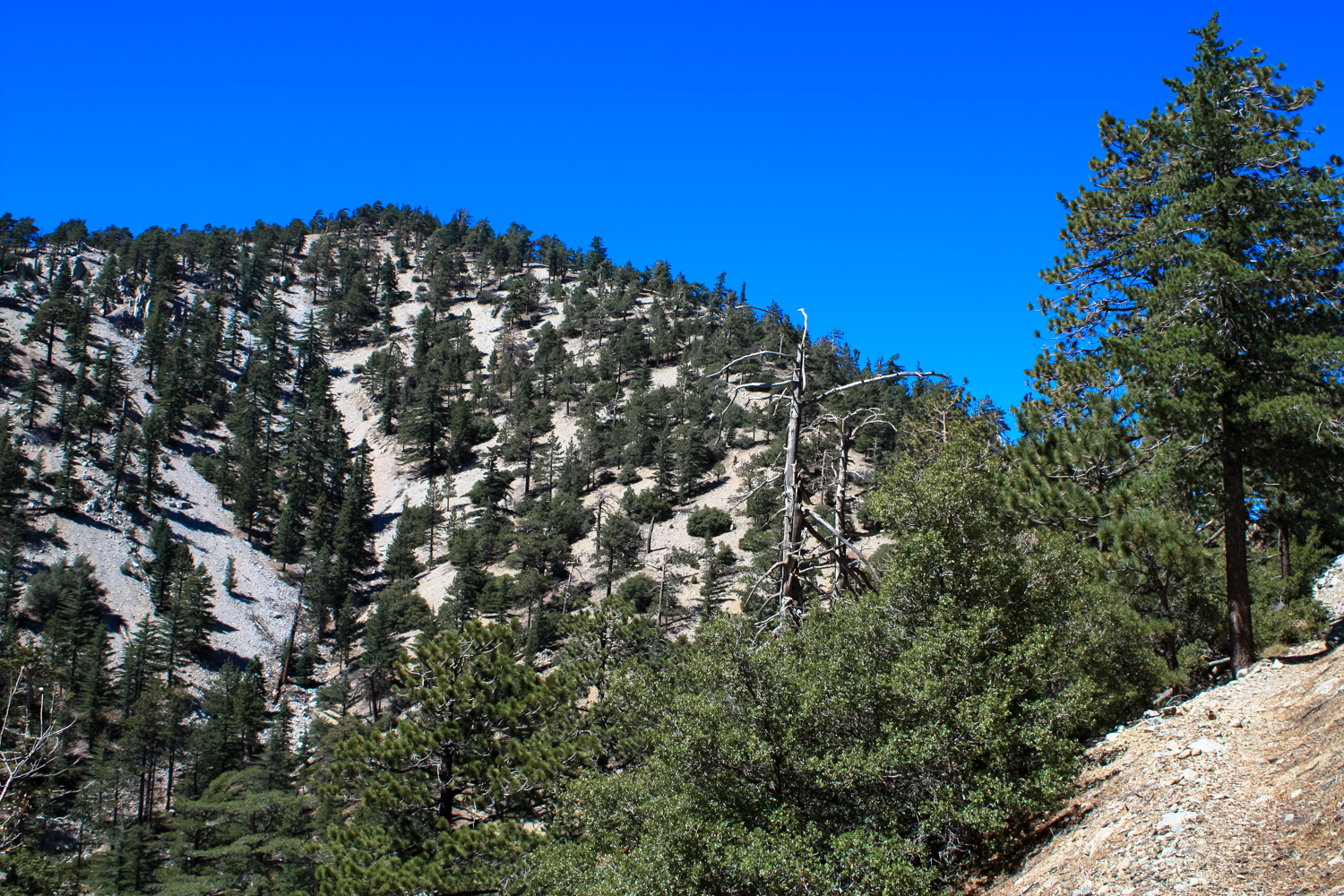
The trail makes a slow but steady descent in these initial reaches. You’ll pass more huge trees, similarly enormous boulders, and when the tree cover breaks you’ll be able to spot some of the nearby peaks and ridges of this section of the San Gabriel Mountains.
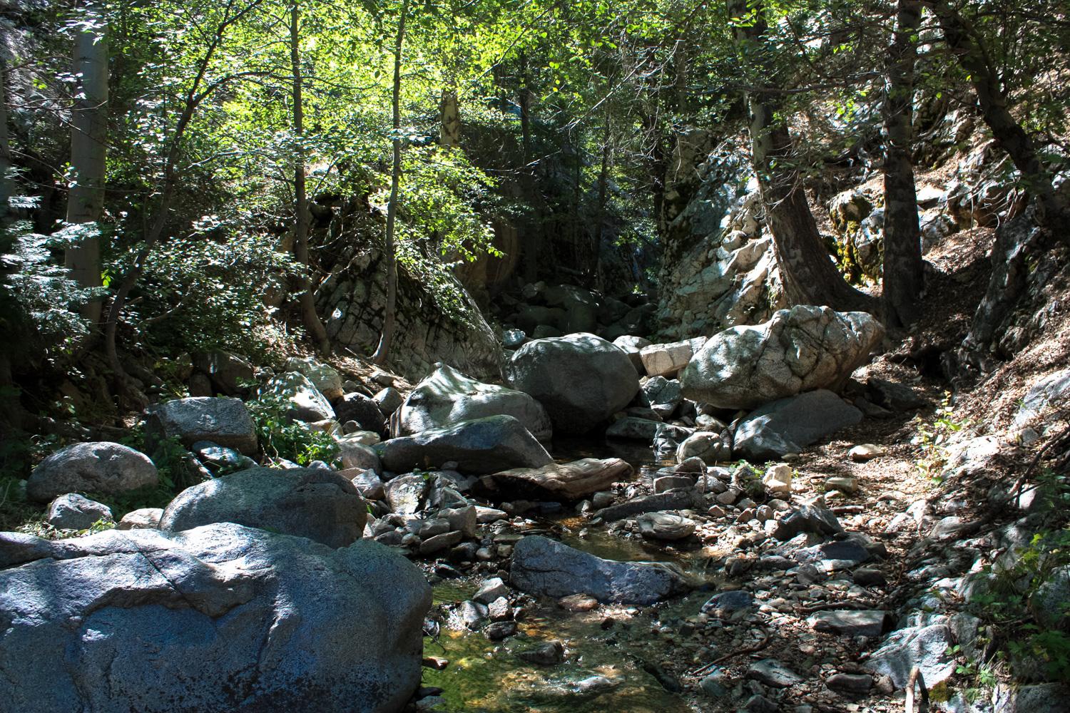
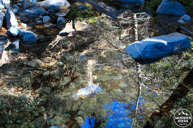
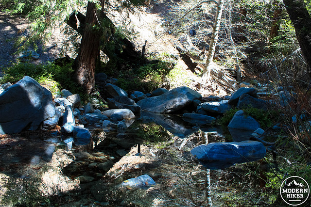
Depending on the time of year (and the amount of precipitation we’ve had) you may also be able to hear some of the rushing sounds of a branch of Little Rock Creek, which generally has a healthy year-round flow. The creek has two small waterfalls near this section of trail but neither of them are easily accessible from this route.
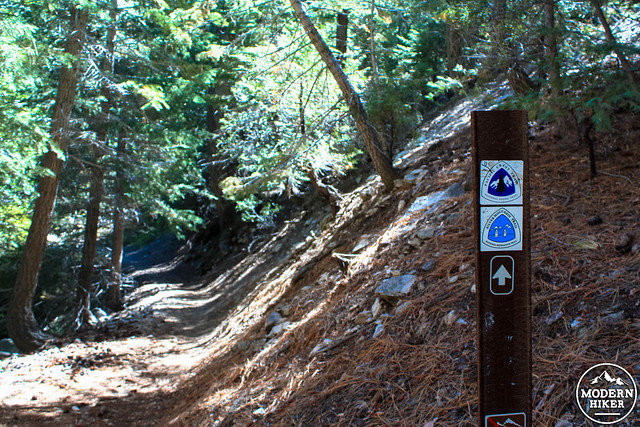
At 1.3 miles, the trail reaches a creek bed and hops over the flowing water before climbing up a small bump and continuing an easterly descent. At 1.4 miles, stay right at the junction with the Pacific Crest Trail / Silver Moccasin Trail. In another tenth of a mile, pass a short, rugged scramble to Cooper Canyon Falls.
The closure area is also home to Williamson Rock, a once-popular destination for climbers in Southern California. Many groups have been working to re-open access to the Rock while protecting the frog’s habitat and a plan was nearly put into motion in 2009, but after the Station Fire destroyed even more habitat the plans were delayed again. A permitting system and footbridge access were proposed in 2014 with an expected management decision by 2015, although now that the land is part of the new San Gabriel Mountains National Monument climbers may have to wait until that new designation completes its overall management plan. Interested parties can stay up to date on this region’s future via The Access Fund and Friends of Williamson Rock.
For now, stay on the Burkhart Trail as it continues north, heading through a saddle above the rather dramatic cut the Little Rock Creek makes through the San Gabriels in this area.
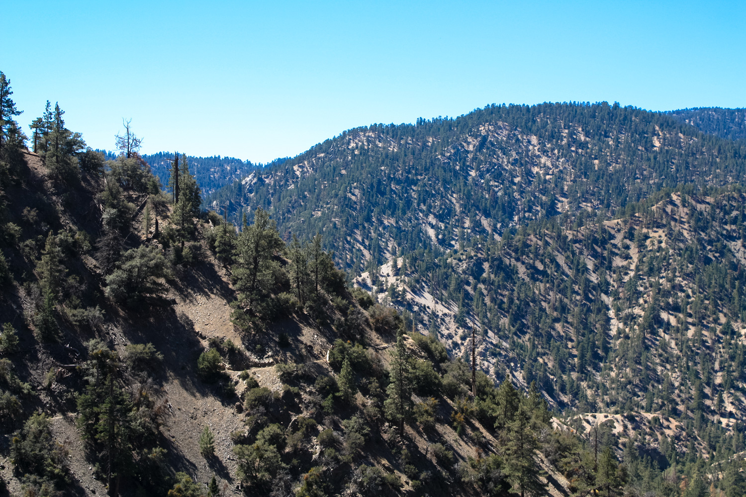
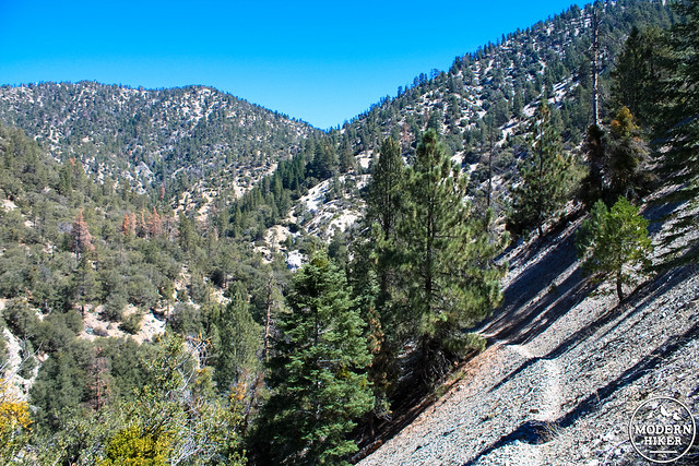
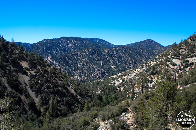
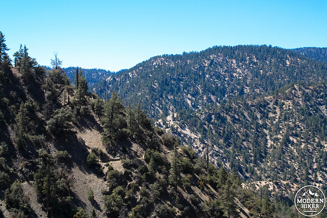
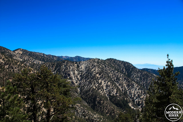
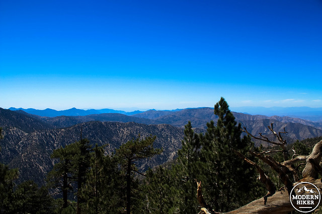
As the trail crests this area at around the 1.9 mile mark, you’ll have some tremendous views of the rugged terrain of the Pleasant View Ridge Wilderness in nearly every direction … as well as an idea of just how much more elevation you’ll have to gain before you reach the peak of Will Thrall.

At 3.1 miles, watch out for a small slide that’s covered a section of the trail along a steep ridge. Just past this, the trail hits another small decline — but after that it’s all uphill until you reach Will Thrall, so enjoy it while you have it.
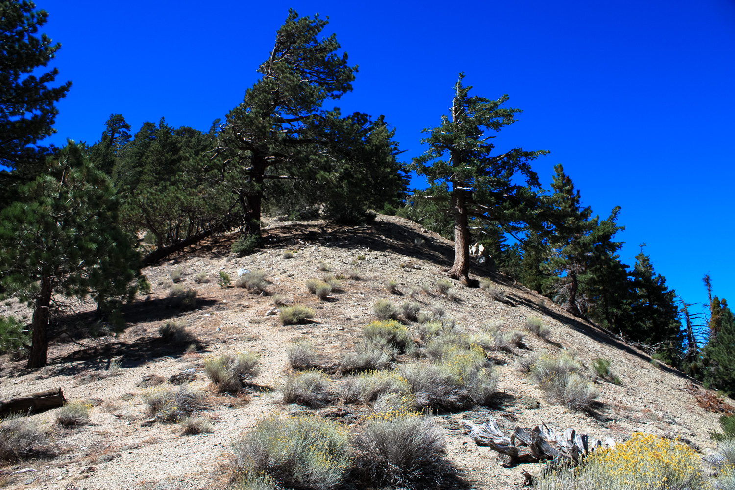
At 3.3 miles, the trail makes a long switchback up the southeastern face of Will Thrall Peak and then makes a no-nonsense assault heading north. Because of the way the mountain is shaped, you won’t necessarily be able to make out the summit from here, but the surrounding scenery is absolutely breathtaking. Looking back north from the way you came in, you’ll be able to make out large sections of the Burkhart Trail (great for one of those “whoa, look how far I’ve come!” moments) as well as many of the peaks in the region, including Waterman Mountain, Winston Peak, Mount Akawie, and Kratka Ridge. Keen eyes may be able to spot slivers of the Angeles Crest Highway, too.
By this point you may be getting a little restless and eager to reach Burkhart Saddle – and because you don’t really have a view of your destination yet, it may feel even longer. At 4.3 miles, the trail turns east away from the saddle for another few switchbacks, but by 4.7 miles you’ll be making a straight shot toward it and you’ll reach the Saddle itself at mile 5.
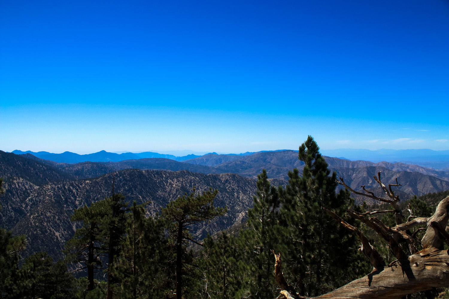
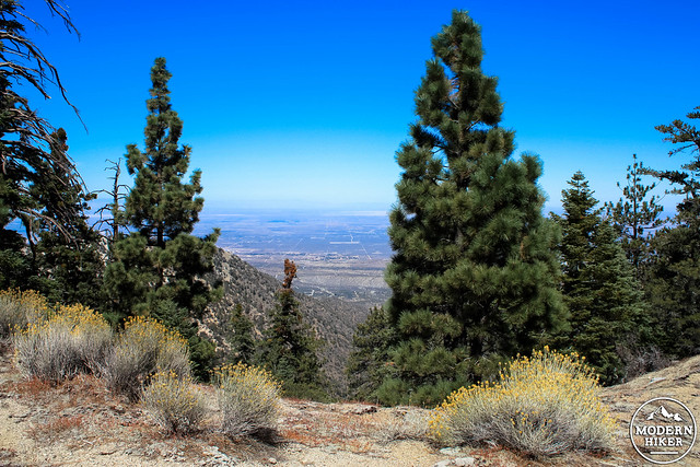
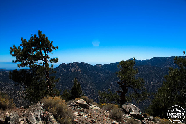
The views from this saddle are pretty astounding as well. To your south, the rugged, undulating terrain of the San Gabriel Mountains, covered in conifers and chaparral shrubs. To the north, the wide-open desert expanse of the Antelope Valley. Soak it all in and take a breather because the toughest part of the hike is about to begin.
Older topographic maps show an established trail heading west from the saddle, making a gradual ascent to the summit ridge of Pleasant View Ridge. Unfortunately, this trail has vanished from the ground. Instead, look directly to the west at the steep ridge heading up to Will Thrall. There is a faint but established use trail here … and it pretty much just goes straight up.
You’ll likely want to stop frequently as you make this final half-mile, and the good news is that the great views you had at Burkhart Saddle get even better as you rise up the mountain. This is truly one of the most beautiful and picturesque sections of trail in the entire San Gabriel range.
Finally — finally — you’ll reach the summit of Will Thrall Peak at 5.6 miles. Look for a small plaque dedicated to the memory of Will Thrall.
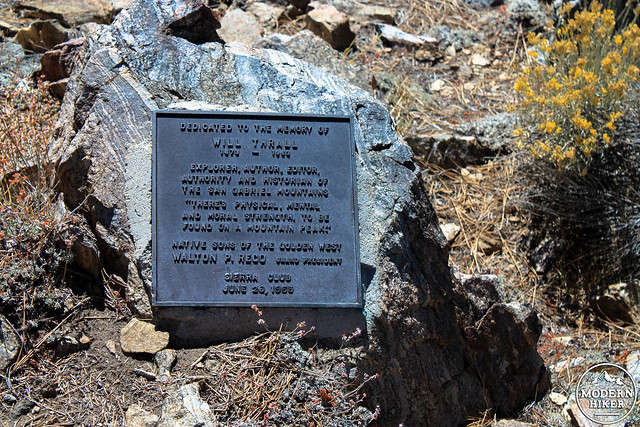
Thrall became editor of Trails Magazine in the 1930s and wrote the “Today’s Hike” column for the Los Angeles Times. Although he is not particularly well known or remembered, his powerful, almost spiritual writing and public advocacy fueled early preservation and recreation movements in the San Gabriel Mountains and continued to inspire people for generations to come.
He once wrote, “There is no exercise so beneficial, physically, mentally, or morally, nothing which gives so much of living for so little in cost, as hiking in our mountain and hill trails and sleeping under the stars.”
This peak was named for Thrall after his death in 1963. The biography “Will Thrall and the San Gabriels: a Man to Match the Mountains” was published in 2004. A review with some choice quotes is available on the L.A. Times web site.
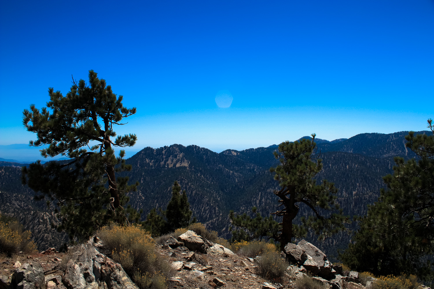
Soak in the views in nearly every direction and breathe deeply of the fresh, clean air, and surely you’ll agree with the quote emblazoned on the plaque here – “There’s physical, mental, and moral strength to be found on a mountain peak.”
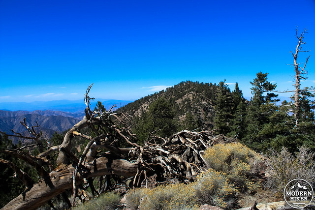
Hikers interested in some extra mileage (and bagging some more peaks) may continue following a faint use trail to the northwest along Pleasant View Ridge.
When you are ready, return back to the trailhead the way you came in.
Tags: buckhorn campground, Burkhart Trail, cooper canyon falls, High Desert National Recreation Trail, Little Rock Creek, Pacific Crest Trail, PCT, Pleasant View Ridge, Pleasant View Ridge Wilderness, Silver Moccasin Trail, Will Thrall Peak, Williamson Rock