Moderate

Waterman Mountain

Distance 6.4 mi
Time 3 hrs
Elevation Gain 1225 ft
Season Summer, Fall
Hike Info Hiker Info
Weather

A 6+ mile, moderate loop on and off-trail in the middle High San Gabriels. While low on sweeping vistas, this hike features large stands of incense cedar, boulder formations typical of the area, ski slopes, and a great sense of remoteness.

Waterman Mountain is a large, broad, forested peak that sits just on the northern border of the San Gabriel Wilderness. It’s deep in the Angeles Forest and can be approached from several directions — a nearly 14-mile leg-buster from Three Points, a quick 4+ mile in-and-out, or this meandering 6 mile loop which, in my opinion, offers the best balance for a moderate day-hike. Plus, you won’t have to repeat any scenery.

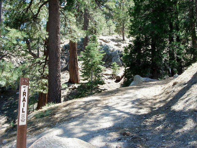
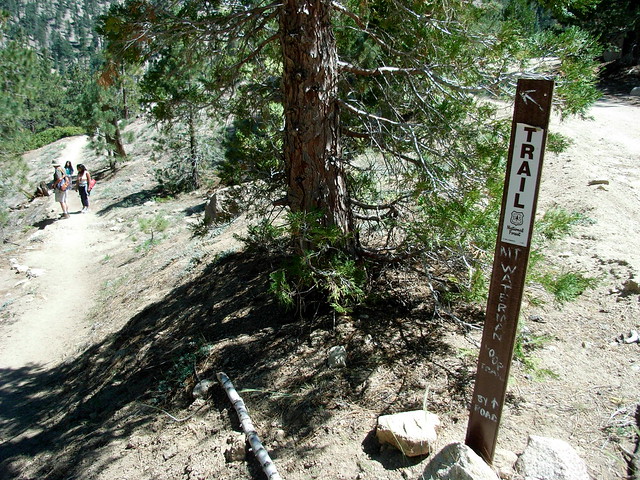
The trailhead lies just beyond the Waterman ski lift, just under 34 miles from the 210. Park at a small lot on the east side of the road at Mile 58.02, cross the road, and look for a large, tattered trail sign.
R0012892
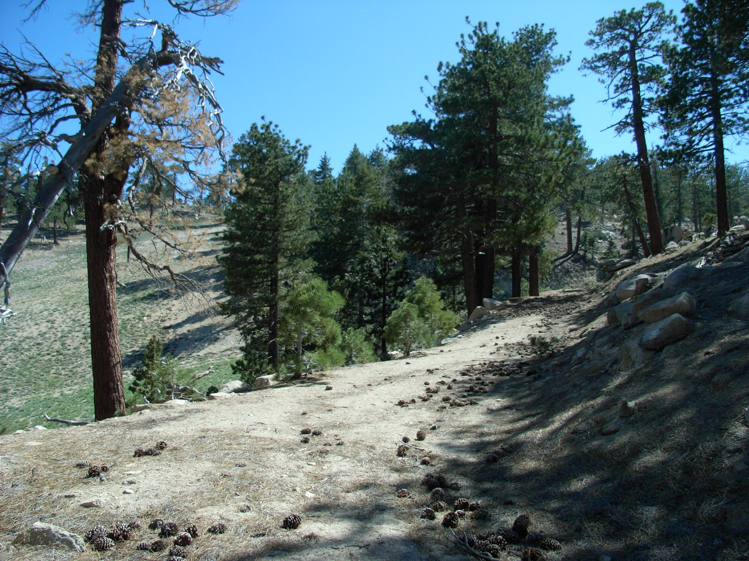
The trail begins on a very steep jeep road, which curves sharply to the northwest. Instead of following this dead-end, stick to the marked trail, which parallels the road for a short distance. You’ll pass an old cement well-trough, and run into a much more clearly defined dirt jeep road. To me, fire roads are never particularly appealing, but half of this loop is on ’em. So if you want to get them over with first, hang a right here and start walking on the road.

R0012894
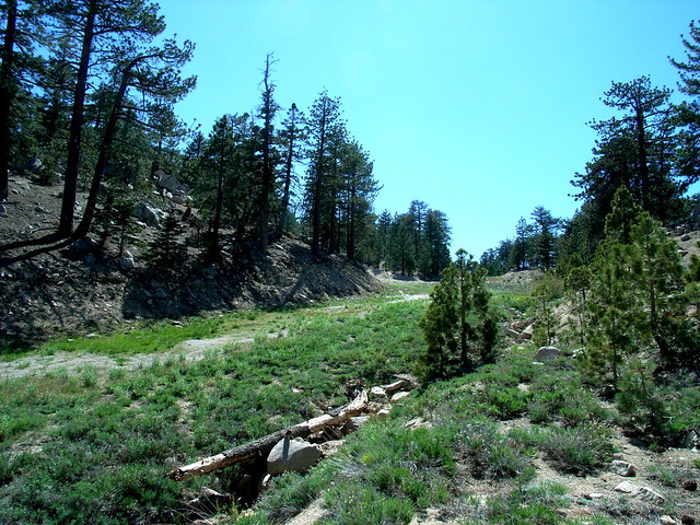
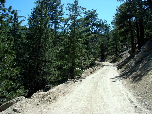
The fire road, like most forest roads, are well-graded and broad, but meandering. This one is no different.

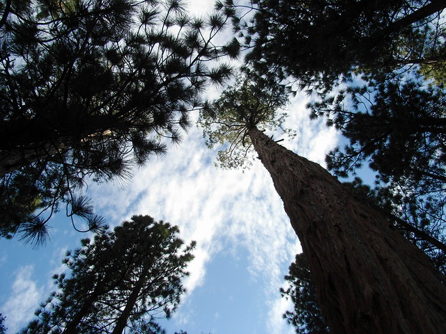
Instead of thinking about how you’d probably rather be on a single track trail, focus on the amazing, tall incense cedars and pines that flank your path.
R0012900
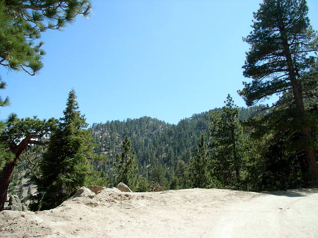
Most of the time, you won’t get many views outside of the road on this section of the loop, but once in a while you’ll be rewarded with a decent view of the interior San Gabriels, or a look at the peak ahead of you:

R0012898
Note the two summits. That’s important to remember, because you’re going to be bypassing the first to get to the second.

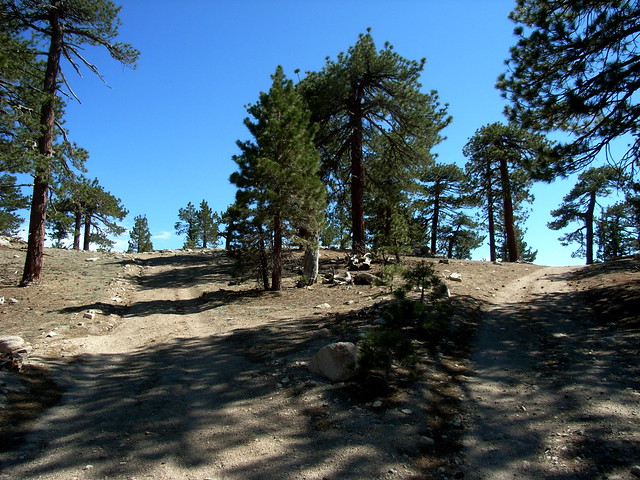
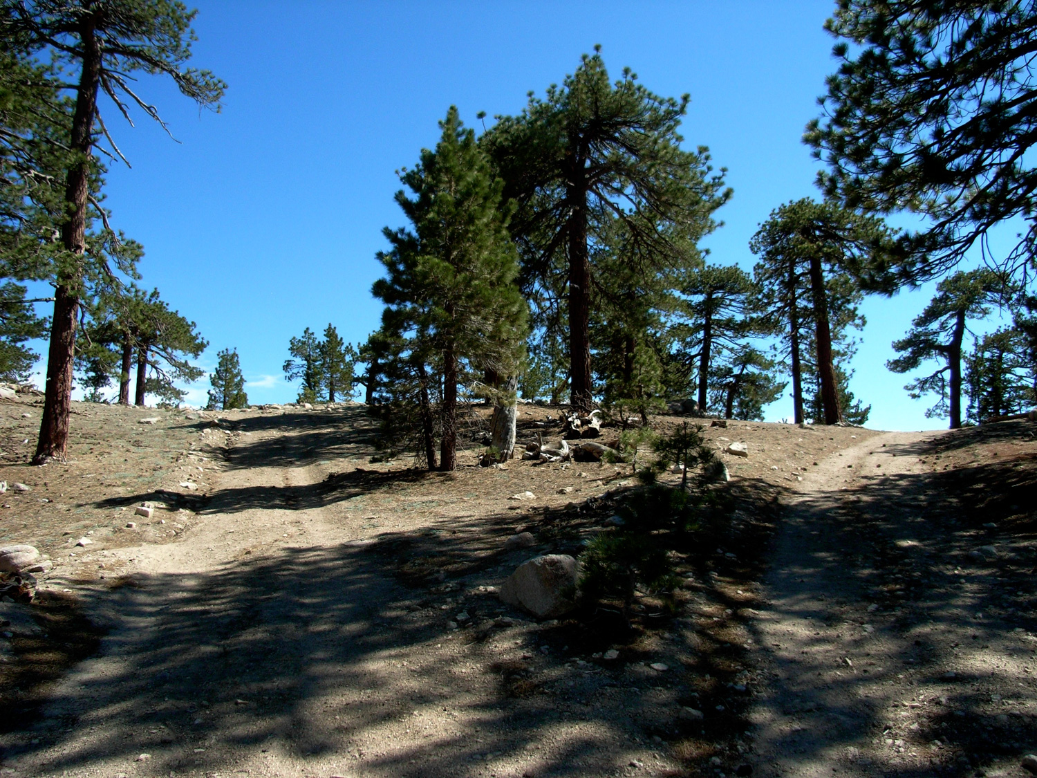
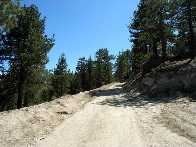
Continue on the fire road for about two miles. There are multiple junctions and spur roads, and they can get confusing if you’re not sure of where you’re going. A good rule of thumb is to always stick to the well-maintained looking road. The only time where you might be at a loss is at a fork at about 1.7 miles:
R0012901
In this case bear to the left, away from the north-facing ridge.

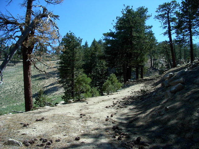
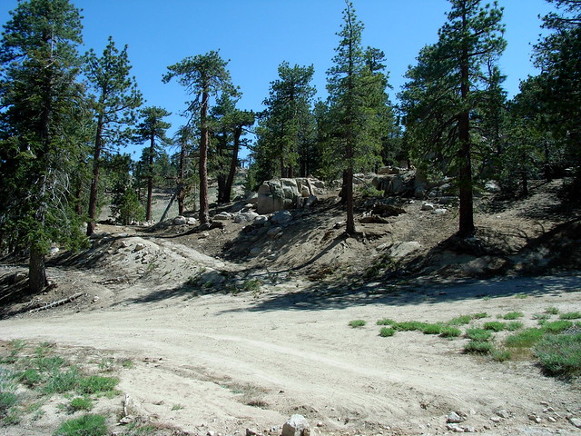
At 2 miles, you will reach a multiple-trail and road junction, and have a few options. If you’d like, you can stick to the right and continue on the jeep road as it winds past some trailers and into the ski resort proper.
R0012907
If you’re sick and tired of jeep roads by this point, look to your left. The broad, cleared slopes you see before you are ski trails — and they’re a slightly more direct route to the first summit. This is what you’re looking at:

R0012906
Climb over that small ridge on a use-trail, and you’ll get to the resort’s southernmost slope. Follow this long, broad clearing as it climbs up to the top of the mountain.

R0012908
If you get disoriented, just remember to keep the chairlift on your left. In less than .4 miles, you’ll reach the top of the ski run, with a ski hut on your right and the end of the chairlift on your left. From here, continue west on the dirt roads until they reach the edge of the mountain, then turn south. You’ll see a prominent fork in the road here.

R0012911
You’ll be tempted to go to the left, which looks like it winds toward the highest point in view — but remember, this is only the first summit on Waterman. Instead, hang a right and continue along the ridge between the peaks. You’ll pass a battered wooden sign on your right, labeling the road as Forest Service 3N03.

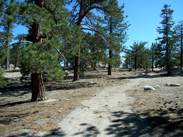
Here, the path gets more and more indistinct and tricky to follow. Just look for a faint footpath and continue in a southerly direction.
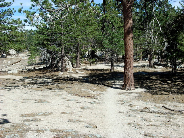
R0012914
R0012915

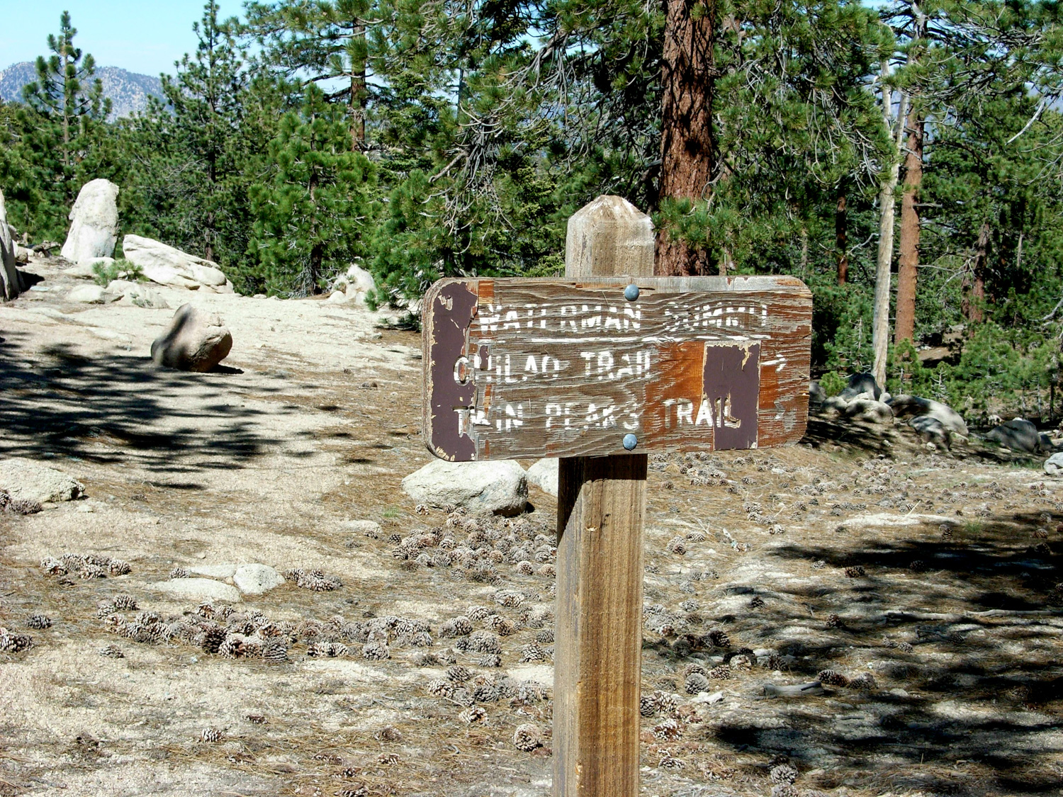
You’ll see a Wilderness Boundary marker on your right, and that means you’re in the right place. The trail makes a bend toward the east here, and follows the ridge of Waterman Mountain just north of the high points. You will see a battered sign (you should be used to it by now), telling you you’re at the Waterman Summit, and pointing you toward Twin Peaks and the Chilao Trail.
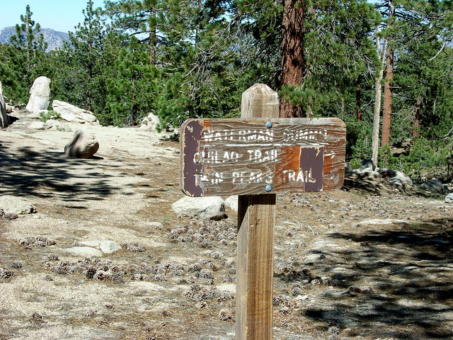
R0012916
This is, quite possibly, the most misleading sign I’ve seen in the entire National Forest.

First, you’re not standing at the summit. Second, the high point and large pile of boulders you can see from here is not the summit, either. And third, there’s no clear path to the actual summit, either.

To find the actual summit, turn south and walk toward the ridge. When you reach the drop off, follow the ridge east until you see the next bit of high ground, elevation 8038.
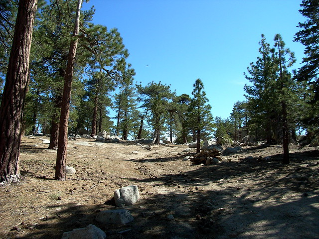
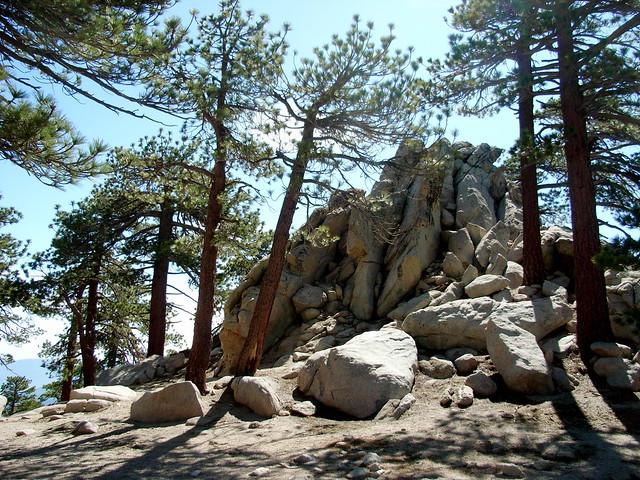
R0012917
R0012918

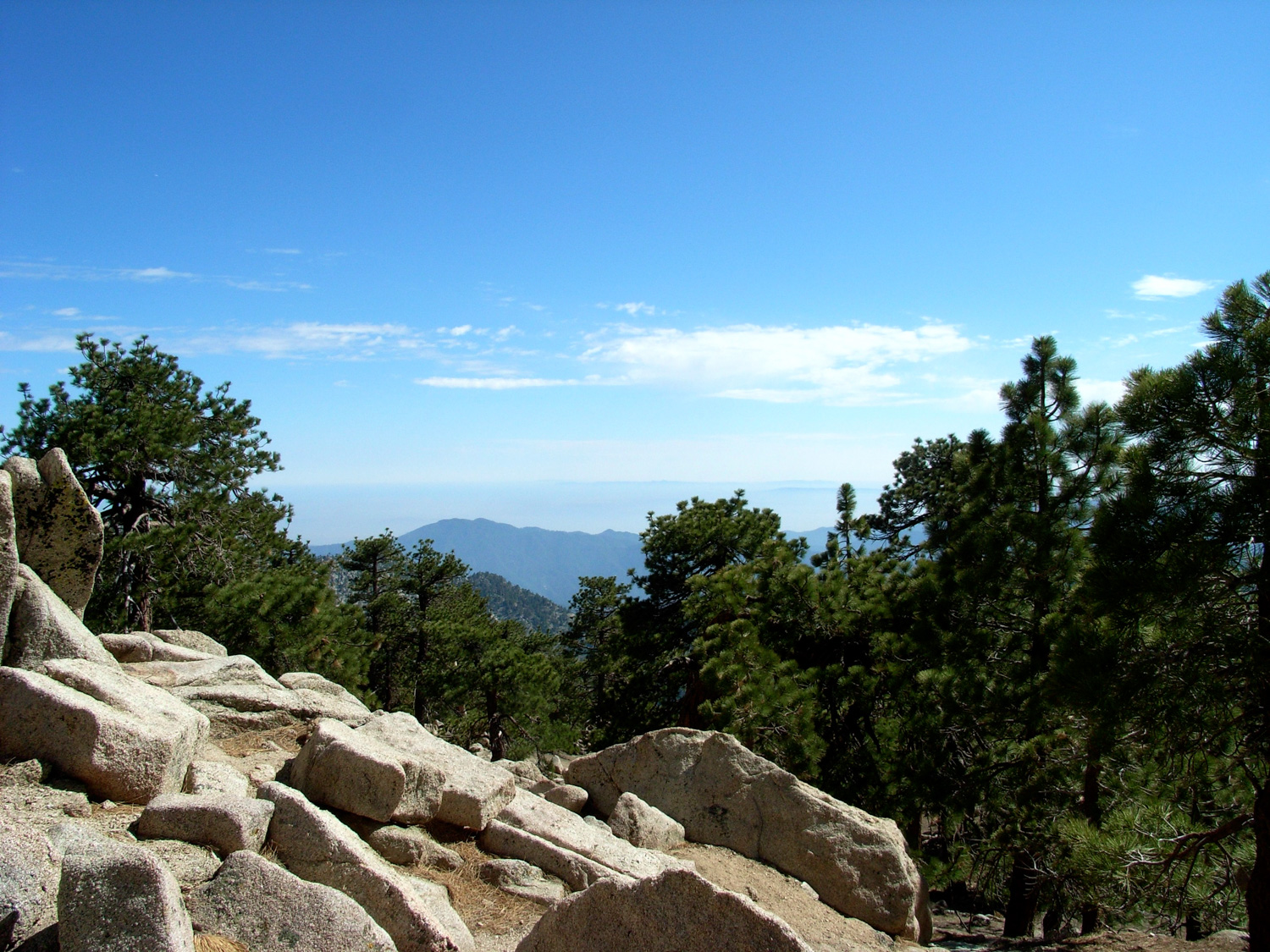
This hike is definitely one of those “it’s the journey, not the destination” routes. The summit of Waterman is heavily forested and doesn’t really offer any distinctive views. To get anything resembling a postcard scene, you’ll have to continue to a small promontory just south of the summit.

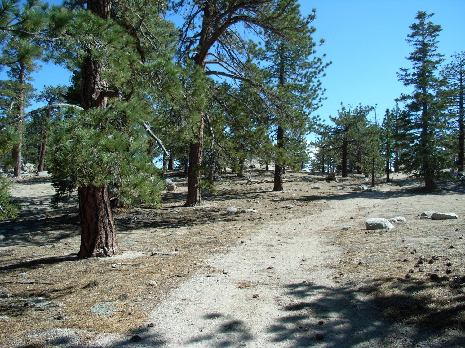
Instead, turn back and rejoin the trail, heading east toward Twin Peaks and Chilao. Keep moving so the flies don’t get you, and breathe through your nose so they don’t become airborne protein supplements. The side benefit of that is that you also get to smell the incredible cedars in the area. It’s one of my favorite things about the entire forest.
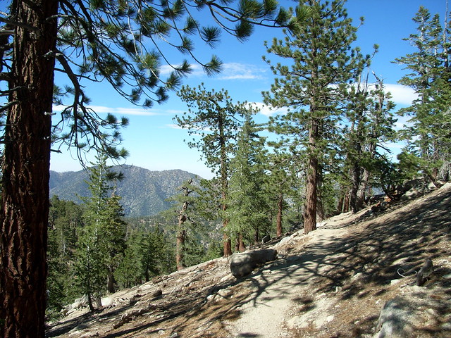
R0012923
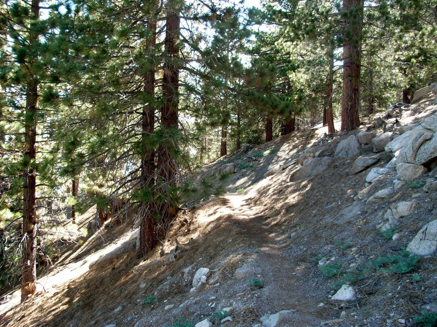
The trail here is easily graded, well-marked, soft, and shaded. For lack of a better word, it’s a lovely stretch of gentle switchbacks until the Junction with the Chilao and Twin Peaks trails, about 4 miles in. From here, you can make the additional 4+ mile crawl up to Twin Peaks and back, or head the 5.7 miles back to Three Points if that’s where you started. But you’re doing the loop, so if you don’t want to add Twin Peaks, head back toward Buckhorn.

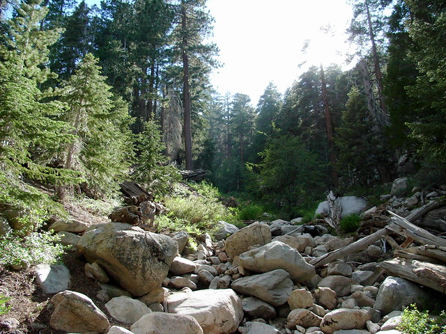
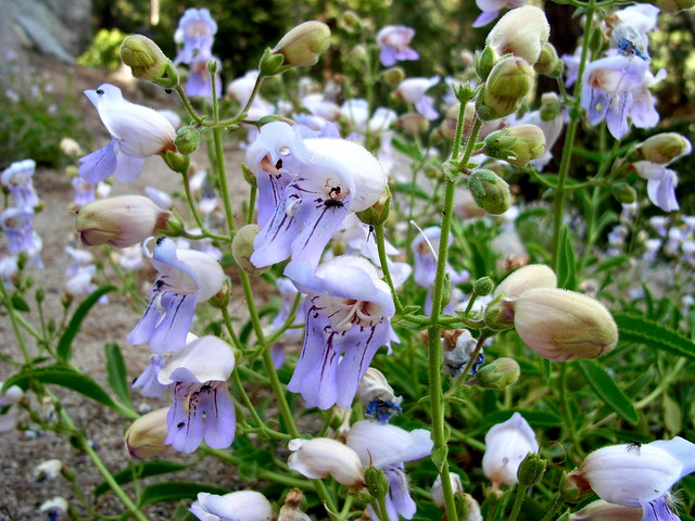
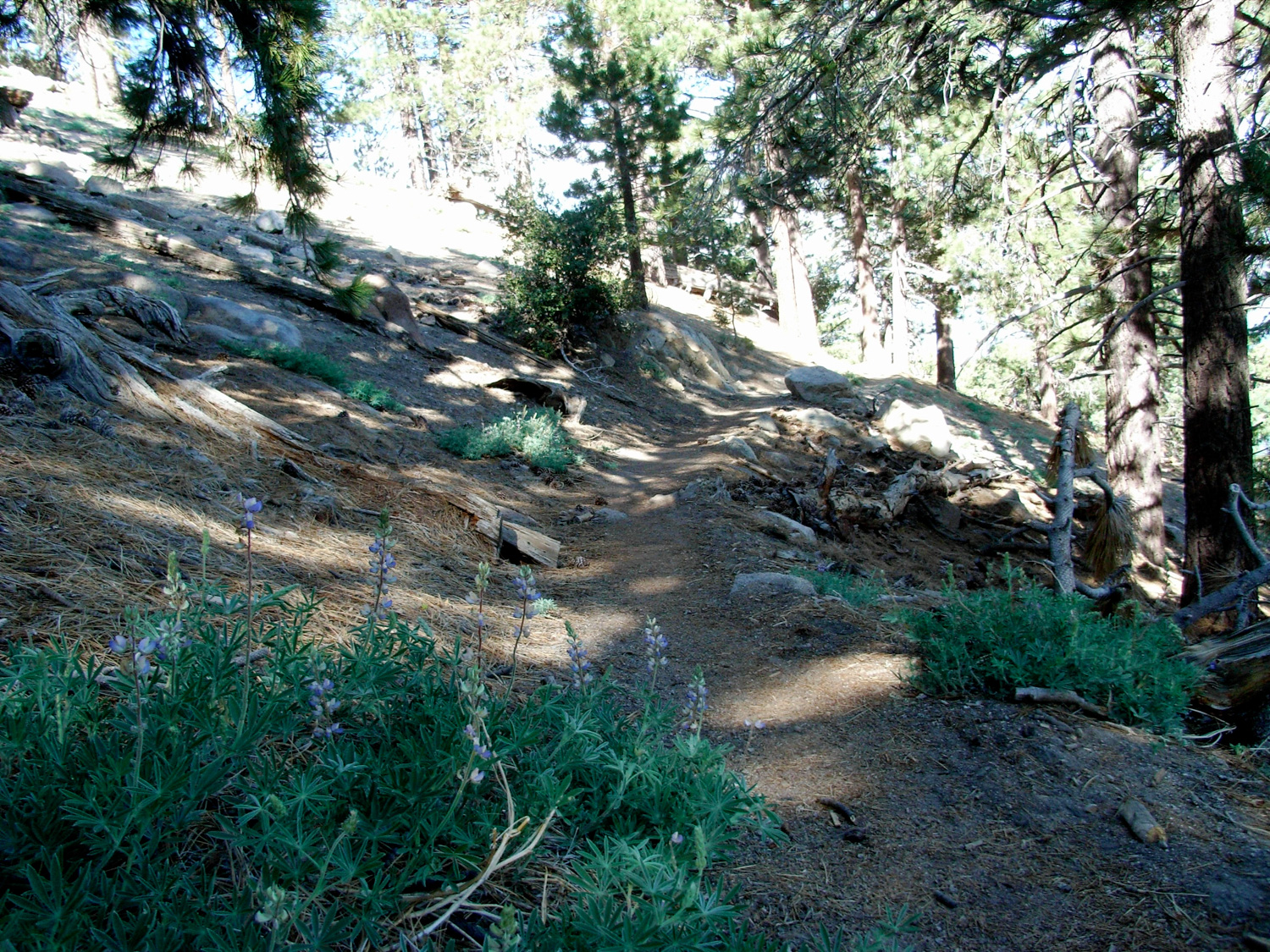
The trail back to the camp gives the occasional view of Twin Peaks, and crosses three seasonal streams before catching back up with the trailhead. In the late spring, it’s lined with lupines and other wildflowers — but snow sticks around here for a long time, too.

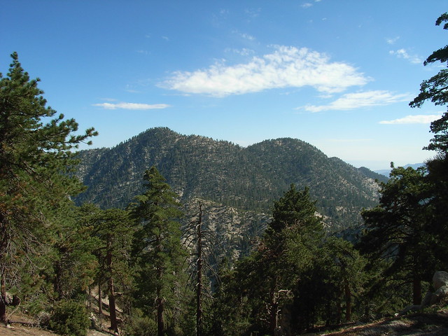
R0012931
R0012932

R0012935

R0012937

R0012939

Tags: , , , ,

Accommodations near Waterman Mountain

Trail Conditions

Fire roads and well marked trail for most of the hike, although there is a section near the western summit that is very faint. Some of the fire road and ski trail junctions may be confusing without a map.

Download GPX

Download KMZ/KML

Camping Info

Seasonal Buckhorn Campground is the closest place to camp. It can be extremely popular during the summer weekends, and is first-come, first-served.

Website

How to Get There

From the 210 in La Canada Flintridge, take the Angeles Crest Highway 33.8 miles to marker 58.02. Park at the turnoff at the side of the road and display your Adventure Pass. There are two entrances to the Waterman Trail - one directly across the 2 near a Wilderness signpost and the other just a bit further south along the 2 at a fire road.

Driving Directions

Use the ModernHiker mobile app to download this map and complete trail description for offline access.

Download Details & Map