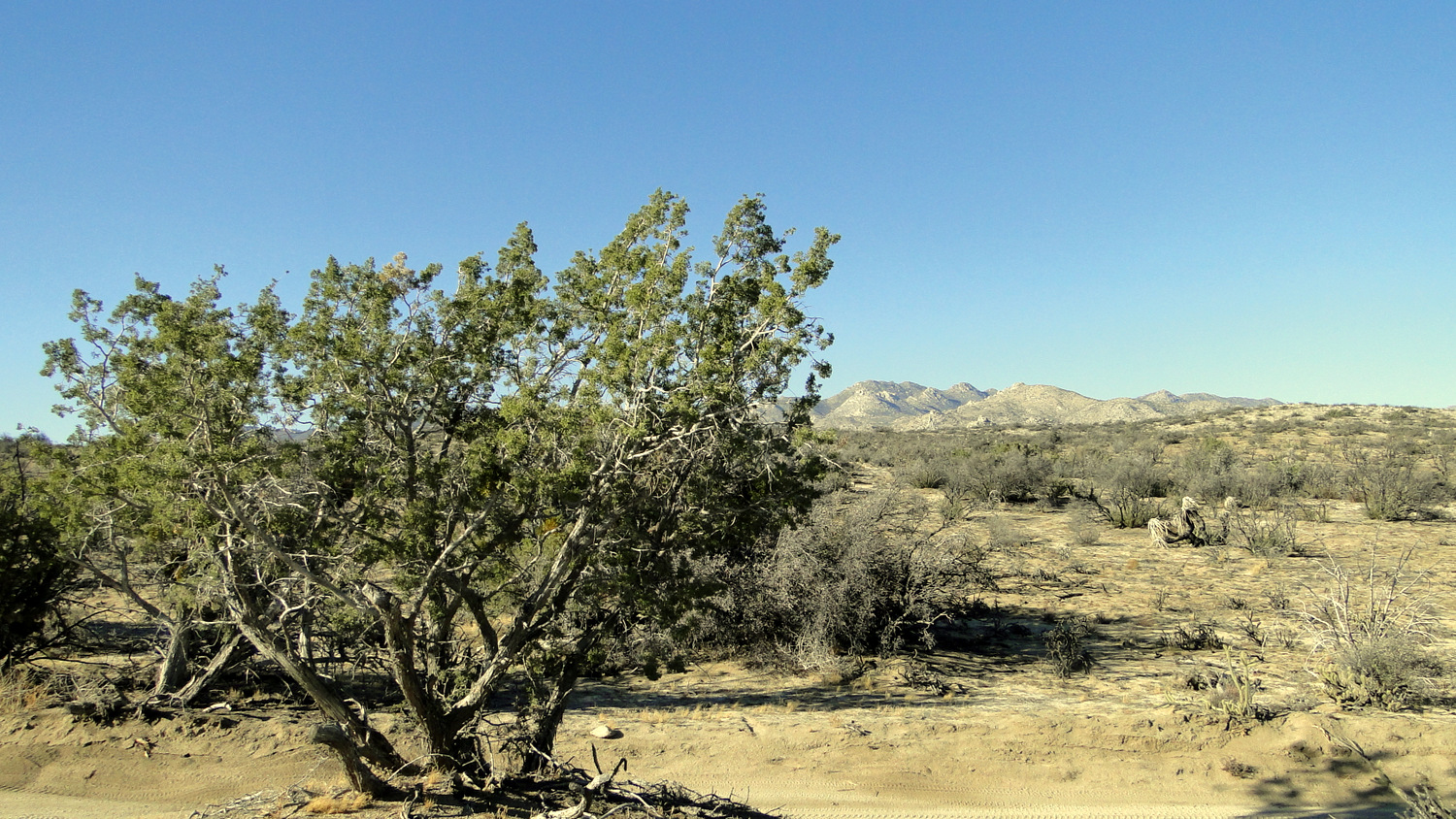
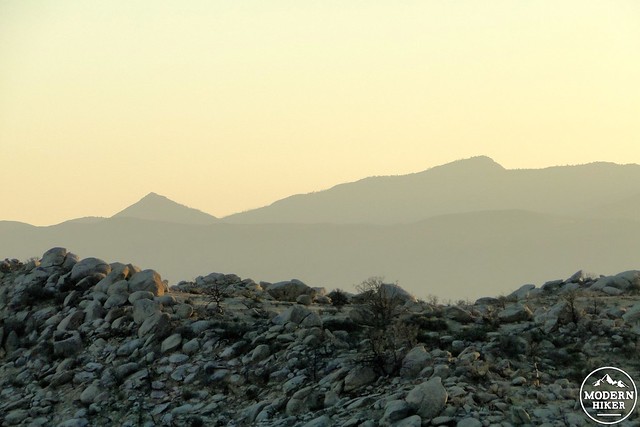
This scenic, rugged ridge forming the southern boundary of Borrego Valley was once known for supporting a sparse woodland of pinyon pines and California junipers to the point that it received the name Pinyon Ridge. Prior to 2013, one could walk the length of this ridge to gain outstanding views south over the Cuyamaca, Volcan, and Laguna Mountains and north over Borrego Valley and the towering Santa Rosa Mountains.
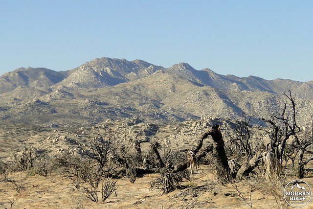
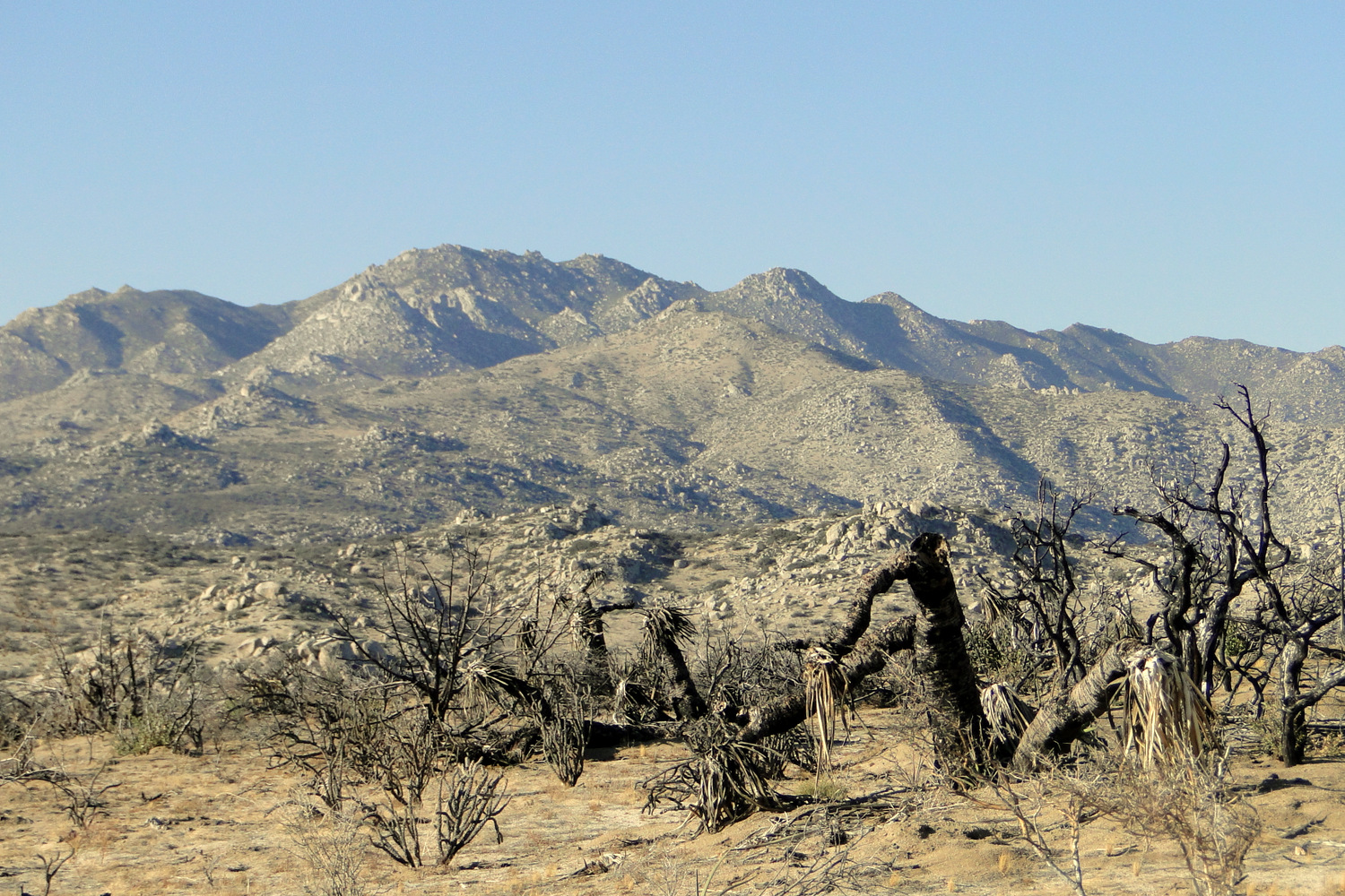
Fire damage in the foreground with the San Ysidro Mountains in the background
Sadly, the 2013 Ranchita Fire swept over the ridge and the surrounding environs, incinerating the majority of the vegetation, including many of the eponymous pinyons. While the chaparral and desert species are recovering well, pinyons and junipers grow slowly, and the skeletal remains of this attractive desert tree render the name of this ridge sadly ironic. While the vegetation will remain fairly heartbreaking for several years following the time of this write-up (November 2014), the clearing of the once-thick transitional vegetation paves the way for riotous wildflower shows. Additionally, the views remain as spectacular as ever, making Pinyon Ridge a worthy destination for a long day hike or an overnight backpacking trip. Note that there is no water on this route, so you will have to pack in your own H2O.
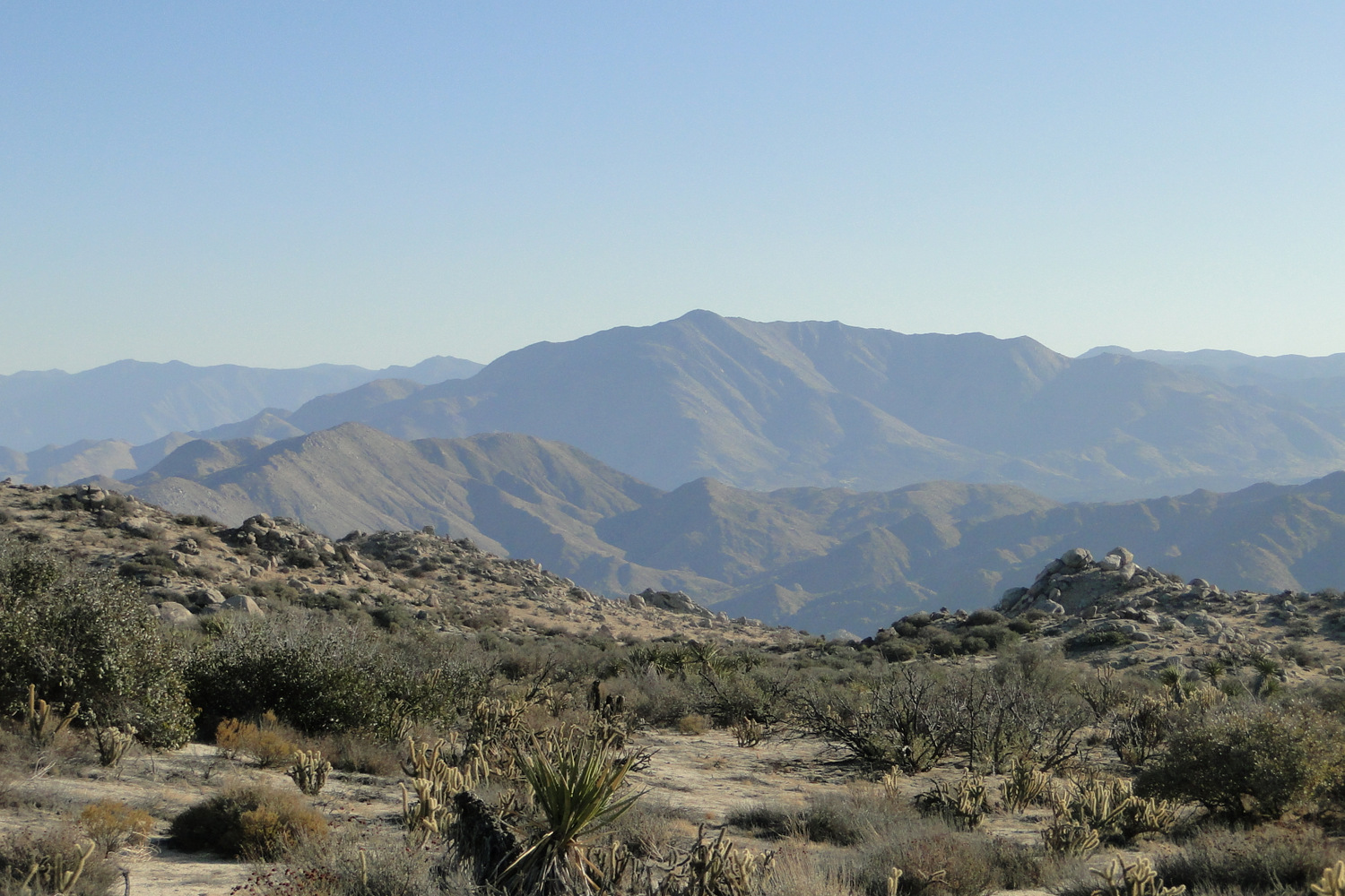
There are also a lot of peak bagging opportunities present on Pinyon Ridge, which can improve the overall views and add a little bit more adventure to what is already a trek through some wild and remote country. Wilson Peak is the notable peak here, topping out somewhere above 4,500′, but the peak is not easy to identify among the numerous other similar peaks. This route stops at the base of Wilson Peak but does not achieve the summit. This route does summit another unnamed peak that features good views, but these views might not be as expansive as those on Wilson. This write-up will provide some suggestions for climbing Wilson, should you feel the inclination.
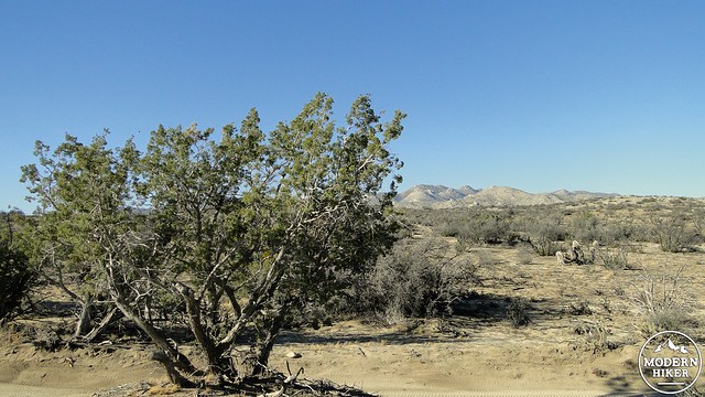
California juniper
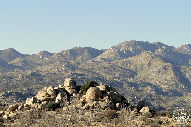
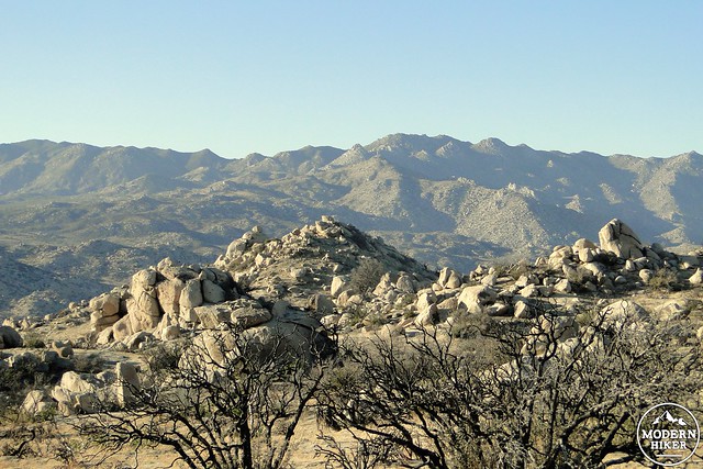
Granite Mountain on the other side of the San Felipe Hills
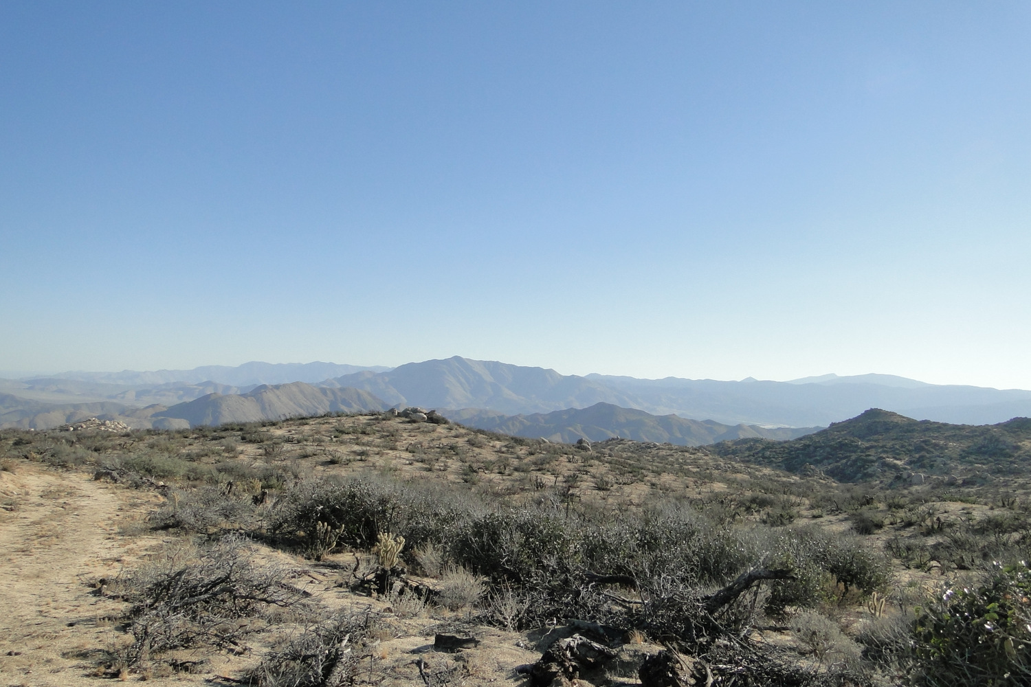
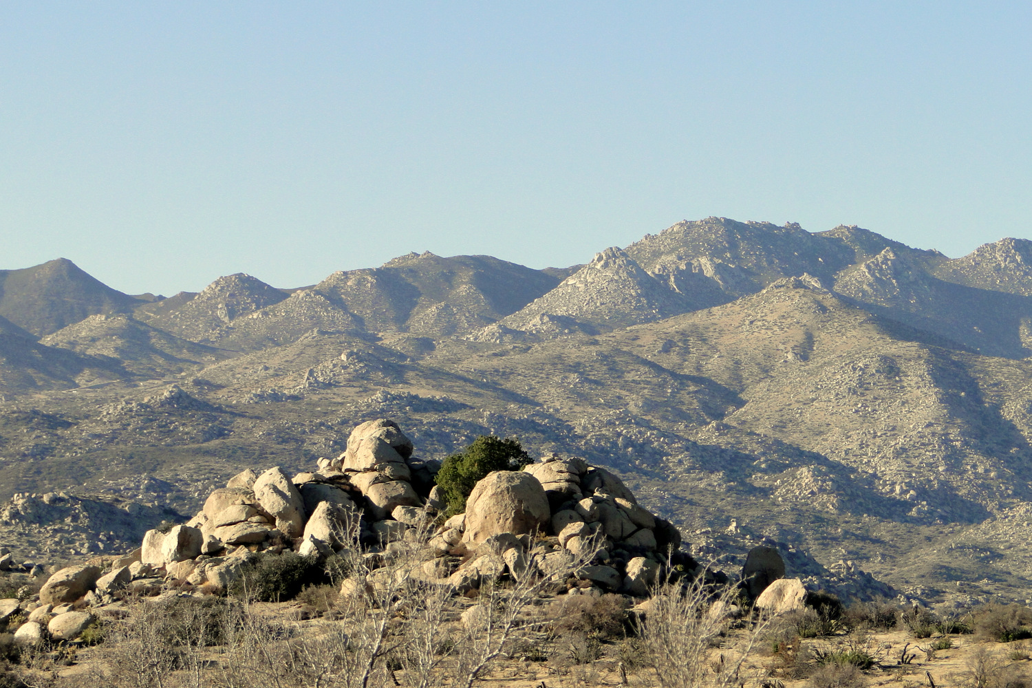
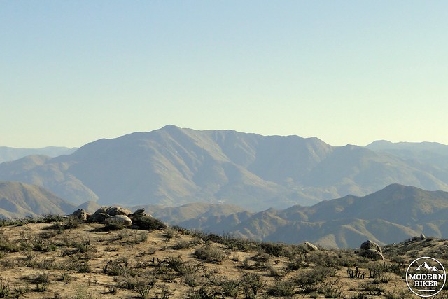
The trail begins from a minor landmark known as “The Slab,” which also offers a handful of parking spots. There is a nearby primitive camp that could be a nice option for an overnight, although backpacking is an excellent option here as well. From the slab, continue on foot along the road you came in on for .3 mile until you come to the signed junction with the Wilson Trail. Enter the Wilson Trail and commence a traverse that will undulate for the next 1.5 miles while offering some great views south over Cuyamaca Rancho State Park and Granite Mountain as well as some interesting views north over the rugged San Ysidro Mountains.
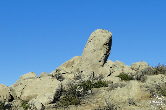
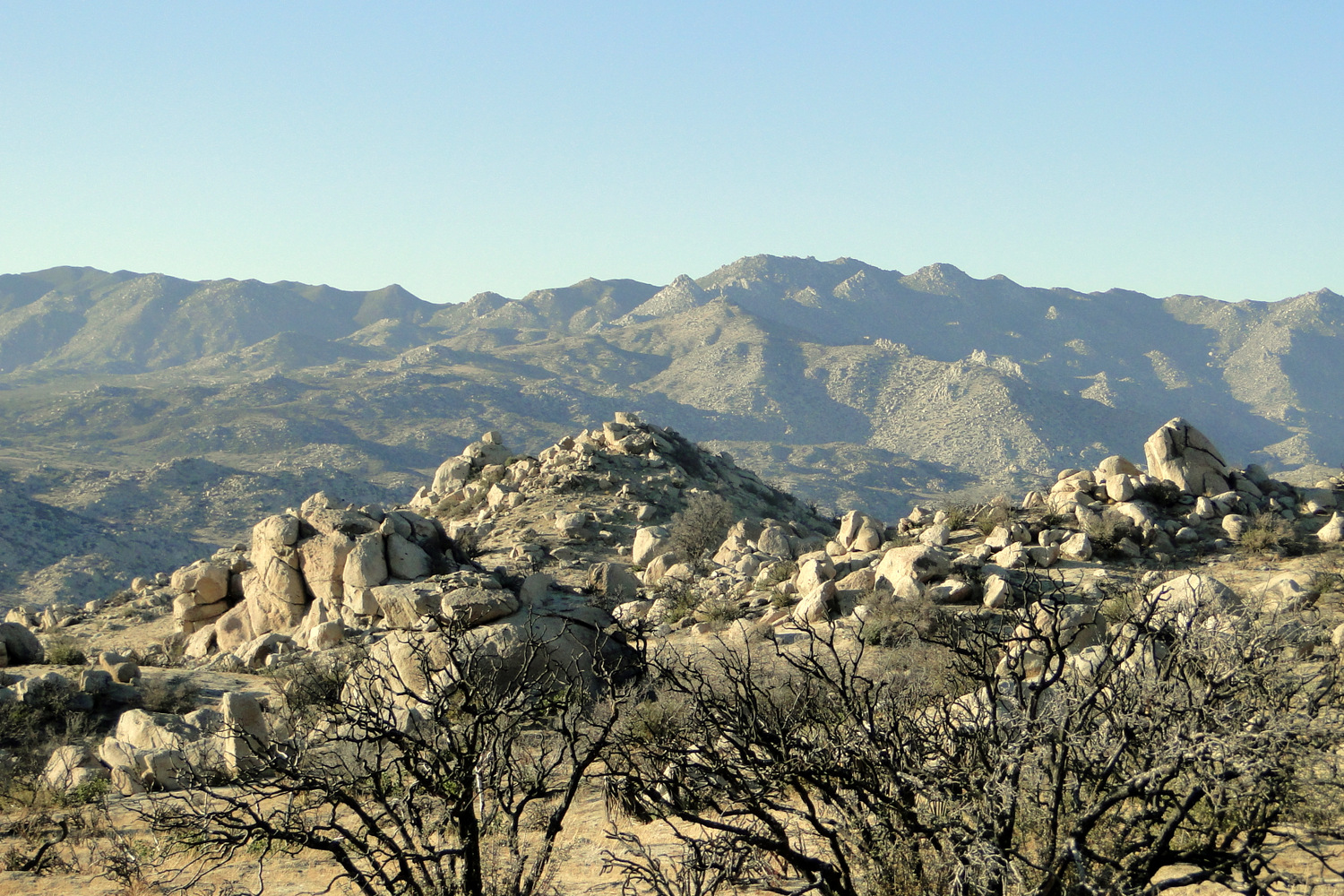
At 1.5 mile, the trail will begin to climb in earnest through occasionally interesting and impressive rock piles to gain 450 feet in 1.25 miles before gaining the true highlands of the ridge. Fire damage is extensive throughout, although you will see plenty of evidence of a quick recovery from the chaparral plants and some of the desert plants, including nolina, yucca, and cholla cactus. The views remain impressive along this way, but you may not note them as much as you focus on the climb.
One of the few surviving pinyon pines
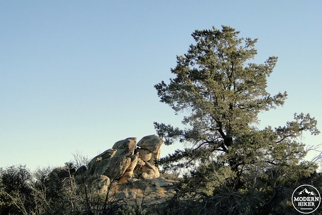
After reaching the top of this ridge, the trail will begin a gentle descent into a narrow, but long valley occupying the top of the ridge. The trail occasionally becomes a bit vague as it passes through damaged vegetation, but you shouldn’t have too much trouble sticking to it. You will pass numerous rocky peaks that are generally indistinguishable from each other but are all easily attained with a bit of scrambling. Occasionally, you will also pass a patch of vegetation that escaped the fire, and you will see a handful of pinyon pines and junipers that escaped destruction. The pinyon pine in particular was an important food source for Native Americans as its prodigious crops of pine nuts (similar to commercially available pine nuts) were collected during the fall months.
Cuyamaca Peak and Stonewall Peak in the setting sun
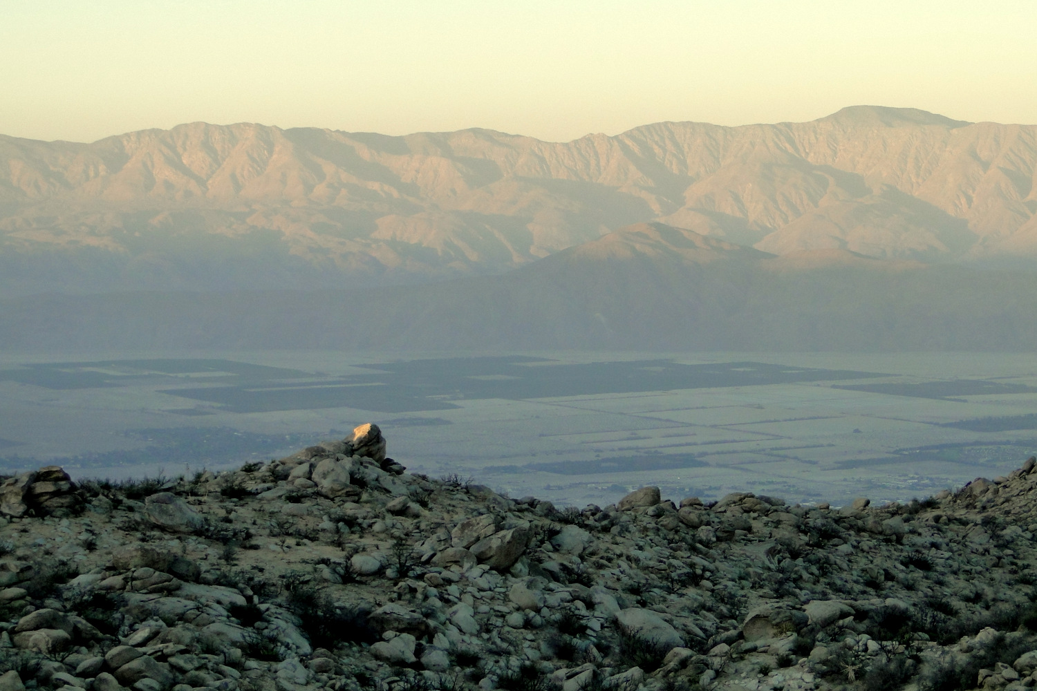
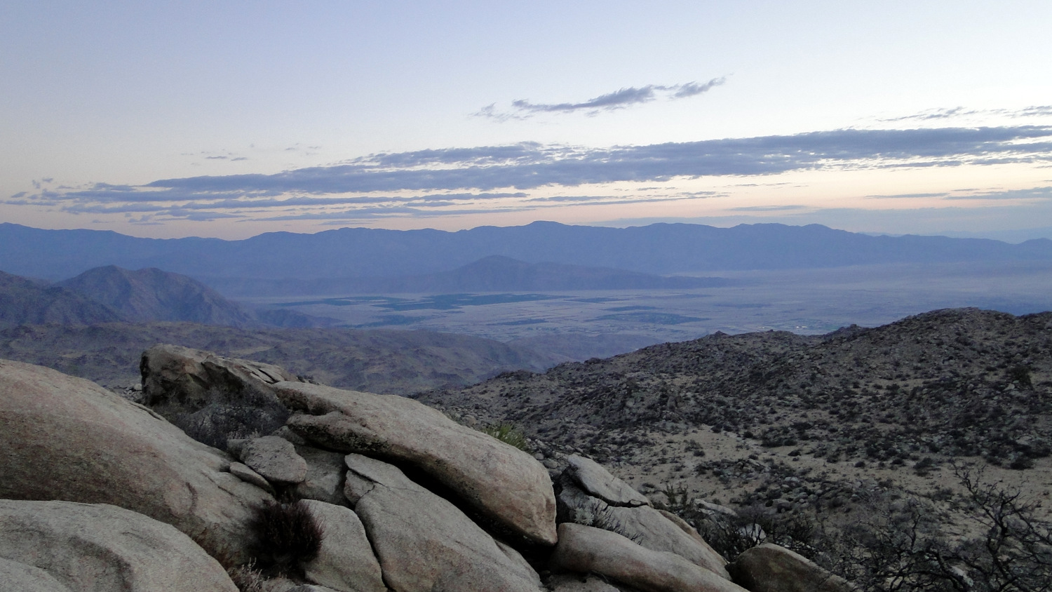
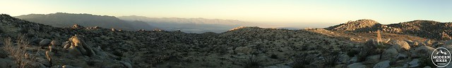
Borrego Valley with the Santa Rosa Mountains getting hit by the sinking sun
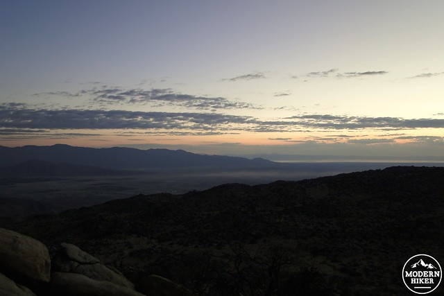
Dawn over the Salton Sea
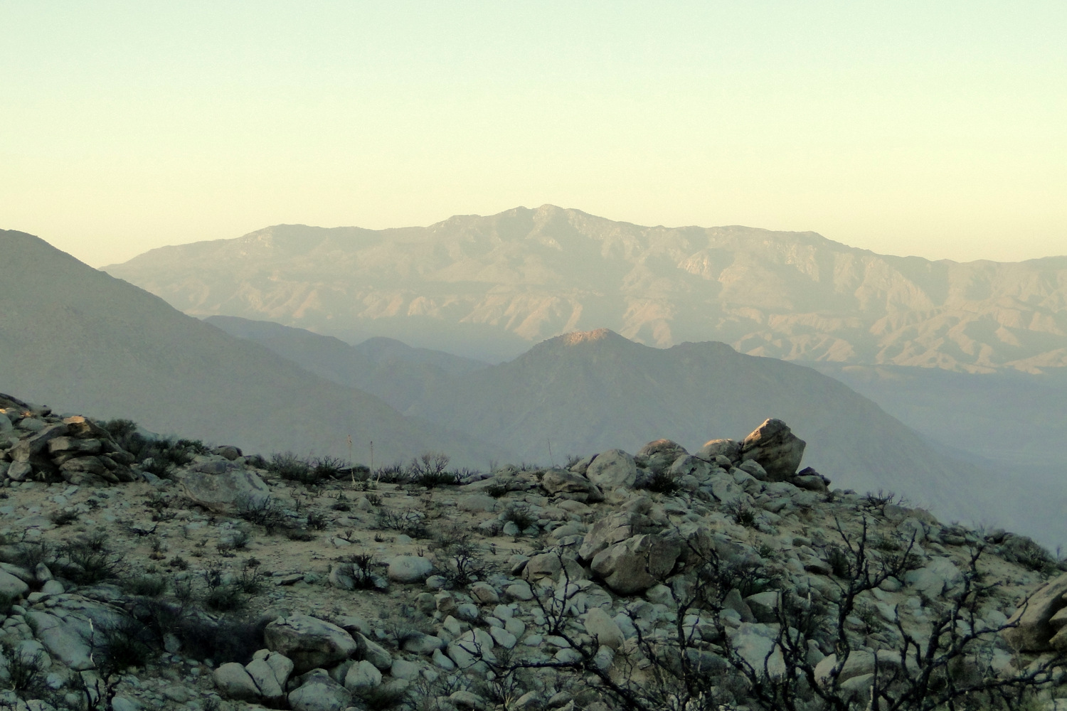
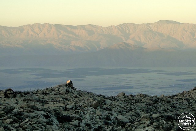
At 4.2 miles, the trail will meet a rocky demise at the base of Wilson Peak, which will be the large, gently swelling rock pile to your right. There is no official trail to the top, so if peak-bagging is your thing you will need to create your own careful route up to the summit. From here, you can backtrack north and west a bit to find a flat area with some decent campgrounds and access to some good viewpoints over Borrego Valley several thousand feet below. On a warm October or late September night, clear views and minimal light pollution provide a nice combination of spacious, dark desert views and a multitude of stars above.
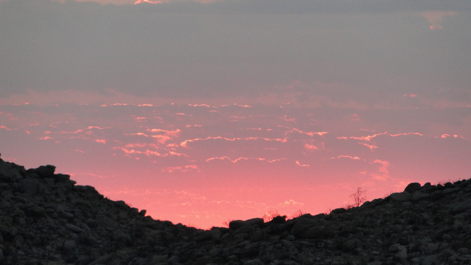
Sunrise 1
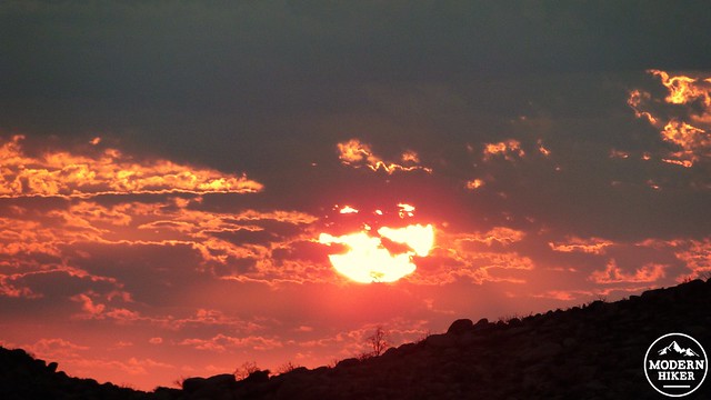
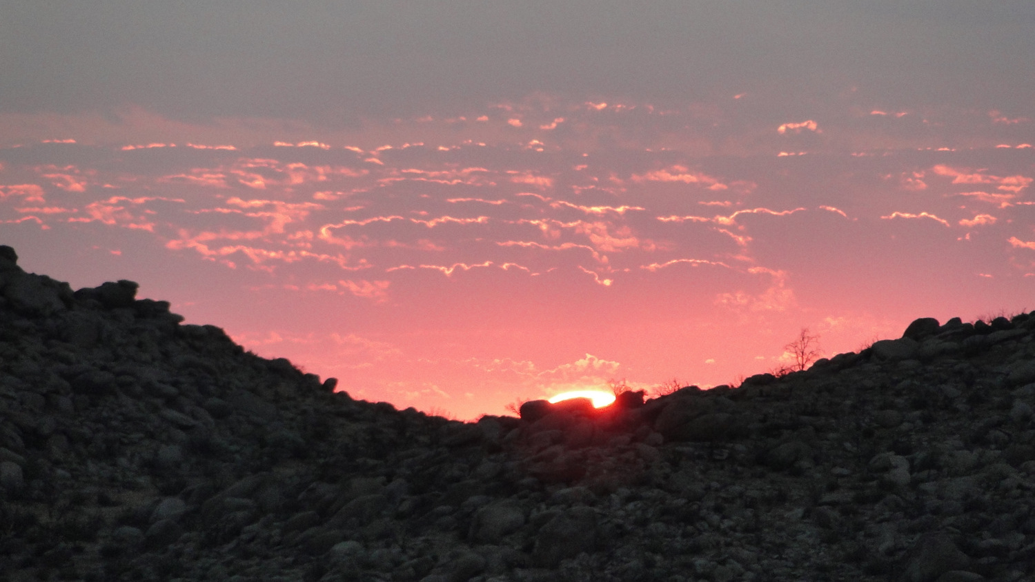
Sunrise 2
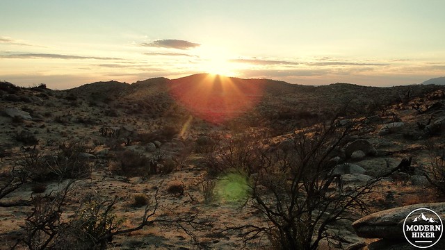
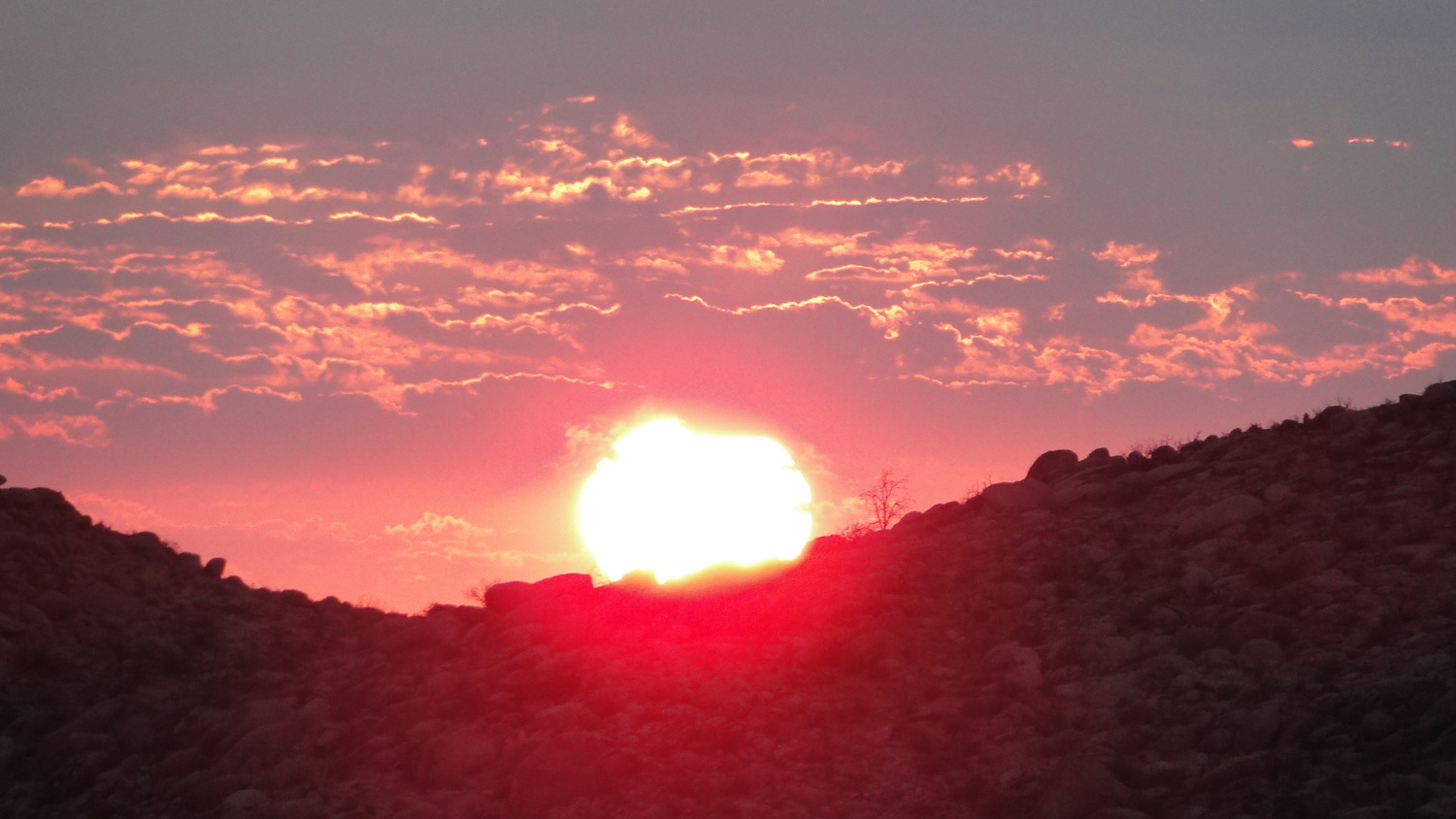
Sunrise 3
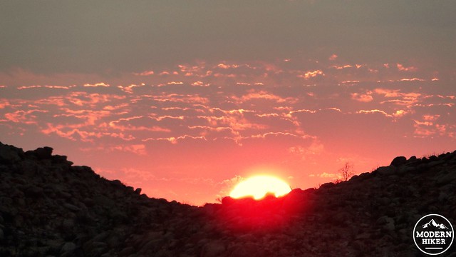
From this point, you will retrace your steps back toward the trailhead. This route includes a peak just to the north of the trail before you commence the principal descent down from the ridge. You can omit this peak or take it on the inbound part of the trip. I chose it on the way out as it gave me an opportunity to catch a gorgeous sunrise, but with the numerous other peaks in the area, there are no shortages of options for side trips.
Once you reach the road, turn left to backtrack toward the Slab to return to your car and commence the journey to the next destination.
Note: The direction link only takes you to the junction with the Jasper Trail. Google Maps does not recognize the Jasper Trail and Culp Valley Road as legitimate routes and therefore cannot follow directions. Please refer to the specific written directions for more information.
Tags: anza-borrego, Borrego Springs, Borrego Valley, Culp Valley Road, Pinyon Ridge, Ranchita Fire, Wilson Peak