Distance (round-trip)
10.5 mi
Time
5 hrs
Elevation Gain
2824 ft
Season
Spring
Summer
Fall
Weather
–
10.5 mi
5 hrs
2824 ft
Spring
Summer
Fall
–
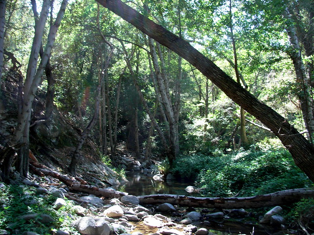
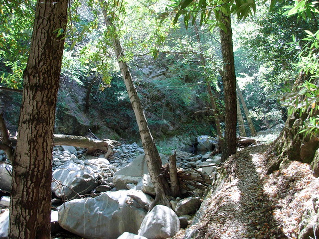
The Kenyon-Devore Loop to Mount Wilson is a 10.5 mile loop from the top of Mount Wilson to two trail camps along the West Fork of the San Gabriel River, then back up to the top of the mountain. This trail is entirely along the mountain’s cooler, more forested north face, and the route follows seasonal streams and rivers that can provide nice swimming holes. A few dangerous stretches of track and the down-then-up route make this a strenuous day hike, or a more moderate overnighter.
Mount Wilson has more routes to the summit than any other mountain in the San Gabriels. This route actually starts at the top, then sinks down to a canyon and climbs back up the mountain’s northern and eastern slopes. It’s a shaded route that’s fine for warm days (especially if you go during the spring, when the San Gabriel River will have a good flow of water). Note that this route was affected by the 2009 Station Fire and the 2020 Bobcat Fire and conditions will likely be different than written here.
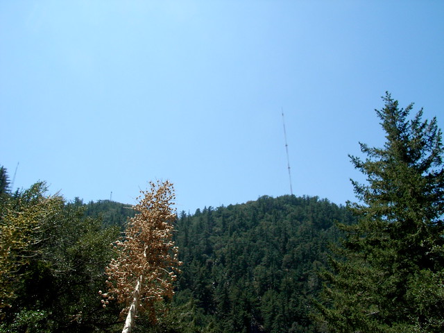
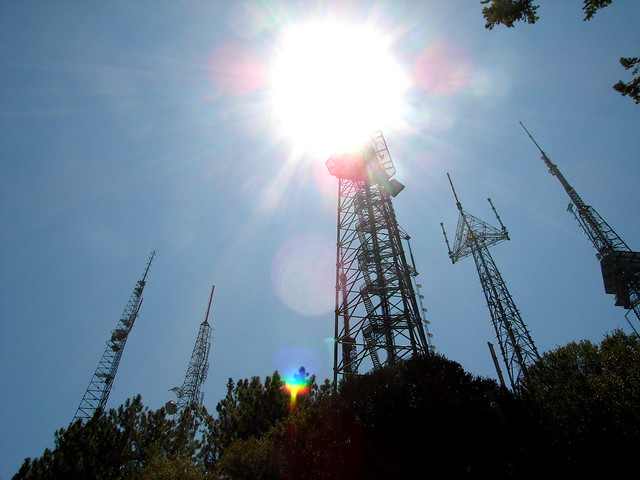
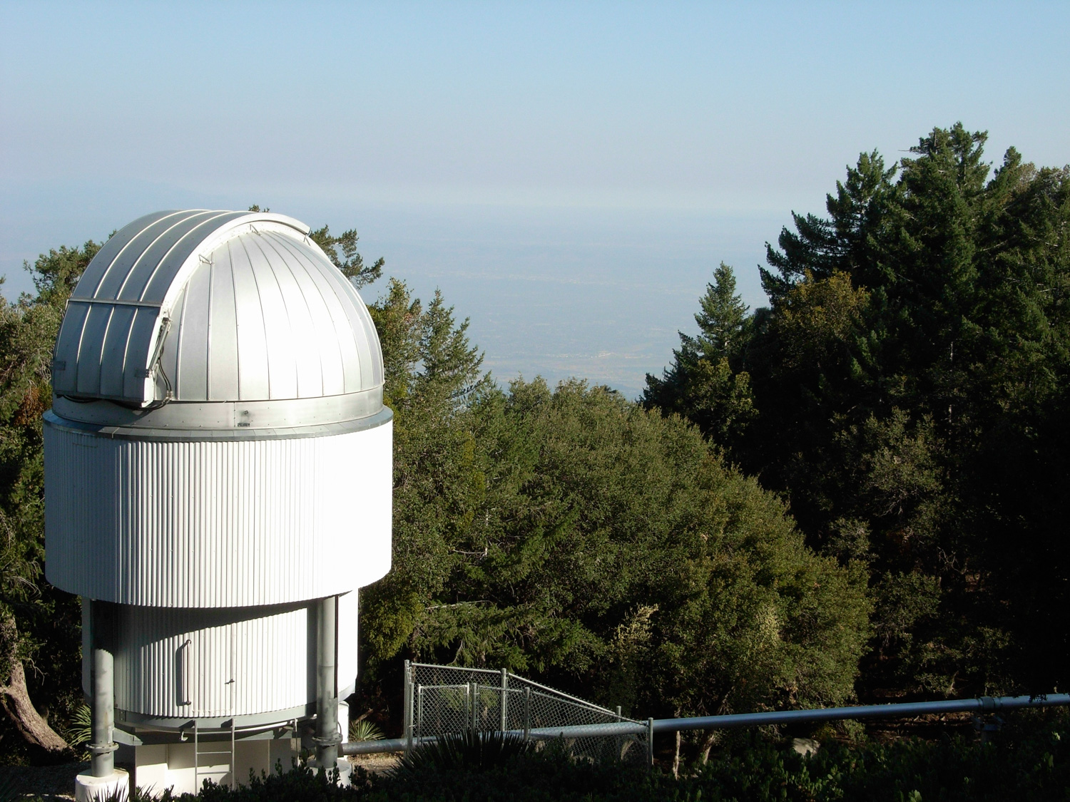
This route starts at a parking lot near the observatories — just past the little loop of Audio and Video Roads. Park just north of the visitor center and then backtrack along the road toward the antenna farms you just drove past.
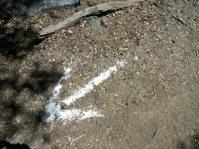
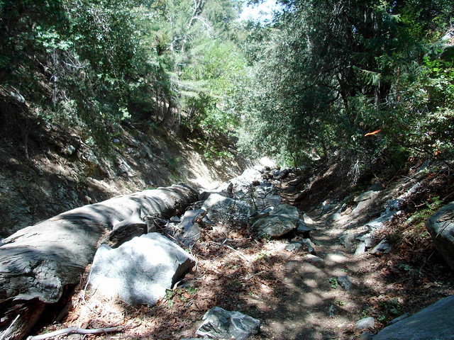
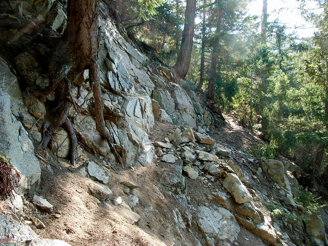
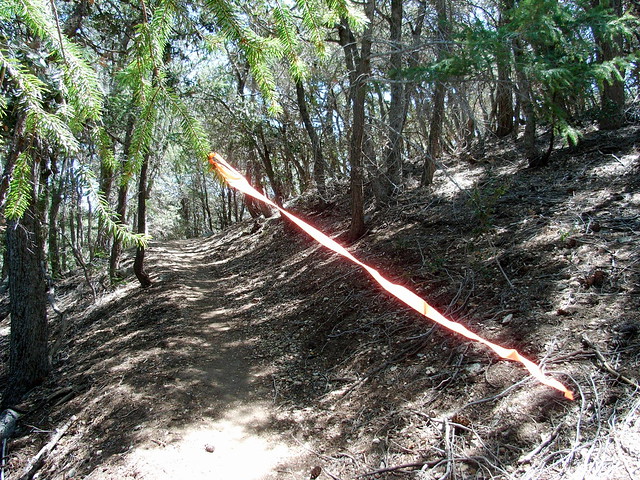
Almost immediately, the pine-needle blanketed trail drops along the north ridge of Mount Wilson. It is a nicely graded descent, mostly-shaded and well-marked. In fact, it might be too well marked. Large portions of this route are part of a popular trail-running route, and the runners have left all sorts of ways to mark the trail along the way — from bright orange streamers hanging from the trees …
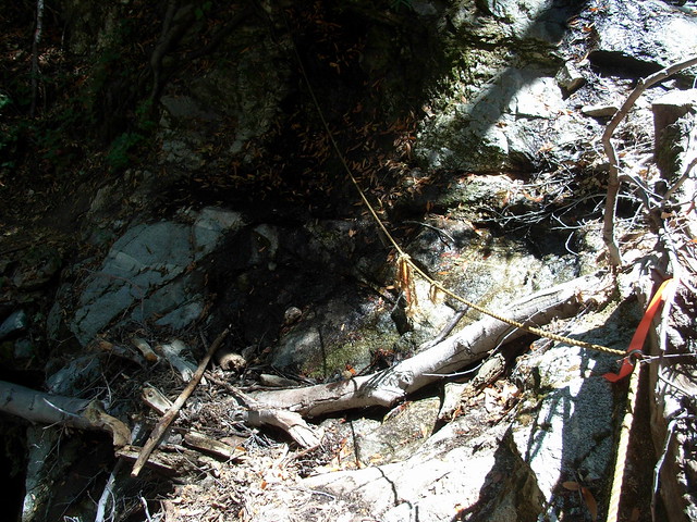
Someone has anchored a rope here to help people across the stream. It feels a bit loose, but it does the job.
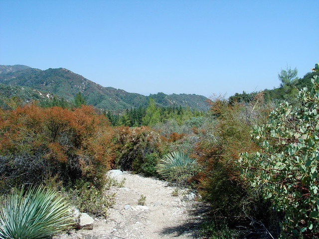
This is the only section of trail that is lacking shade — and has much more in common with the south-facing slopes of the front range San Gabriels — by which I mean lots of low lying brush and Spanish Bayonets.
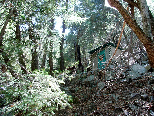
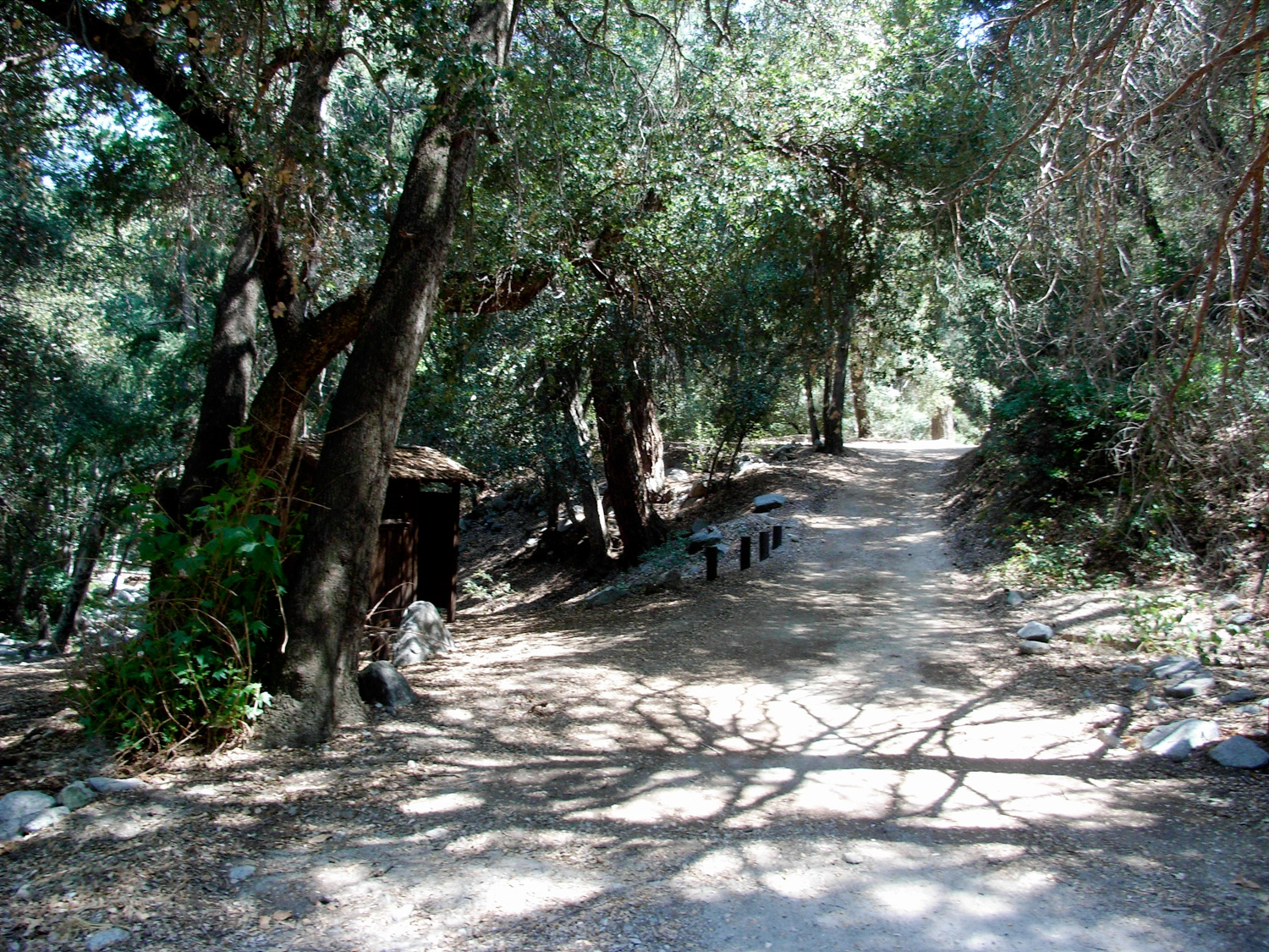
There are plenty of picnic tables, camp sites, fire pits, and outhouses here … as well as the foundation of the first US Forest Service cabin built in California (circa 1900), which you’ll walk past as you enter the campground.
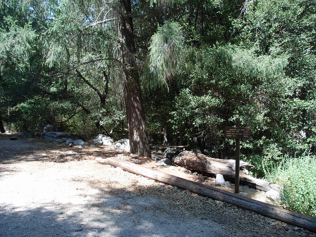
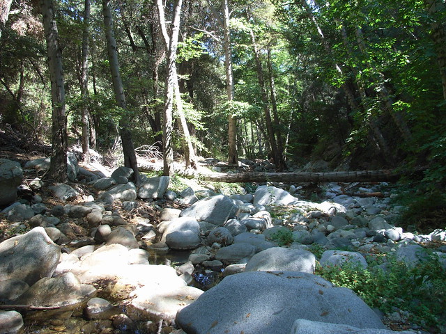
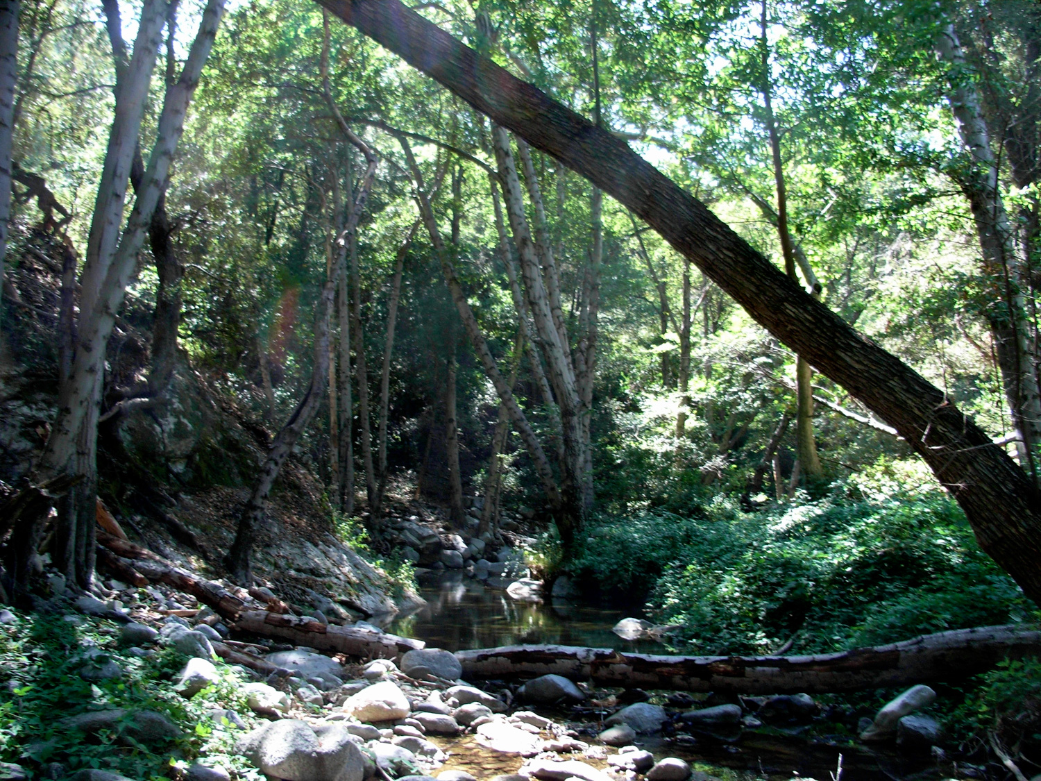
When I came into this campground via Shortcut Canyon back in February, the water was flowing fast, surrounding the camp sites and providing wonderful white noise:
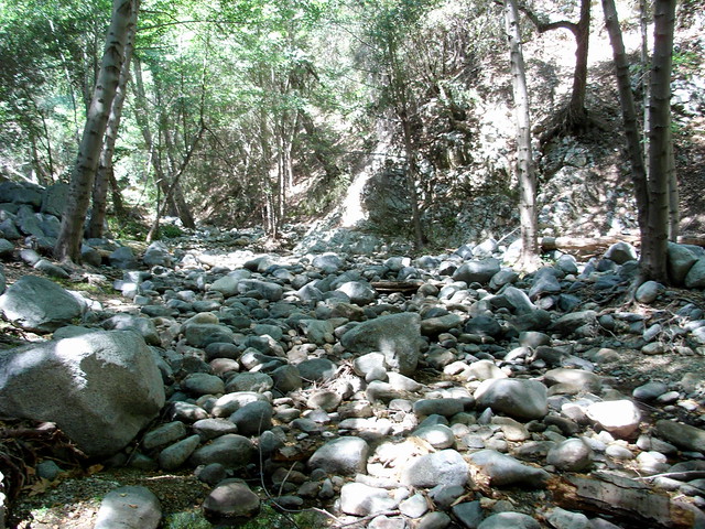
To continue this route, hop across the boulders (or river), heading east from the camp. You’ll see a small metal “Pack it Out” sign, and a clearing along the river’s eastern bank that leads up to a visible trail.
The Devore Trail Camp is at the end of this stretch of trail, just before the San Gabriel River makes a bend to the northeast — it’s on a broad slope on the south side of the river with lots of space for tents, and plenty of fire pits to go around.
From here, you can either keep exploring down the river down an old angler’s trail that continues about 5 miles to the Cogswell Reservoir … but only the first mile or so has been reworked by volunteers. After that, you’re on your own.
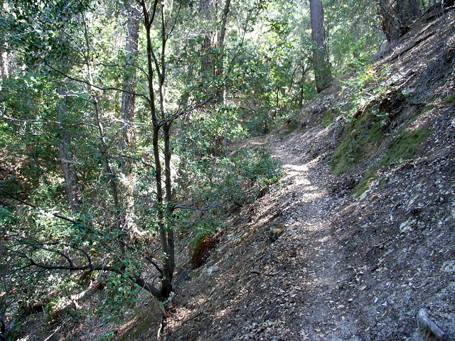
This route continues on the trail you’ve been on – part of the Gabrielino Trail – which now begins a seemingly-endless ascent back up to the top of Mount Wilson. Hopefully, your legs are still in good shape after all that downward pounding, because it’s all work from here on out. The trail makes an immediate turn to the south, and starts climbing up Wilson’s north slope directly and in numerous switchbacks.
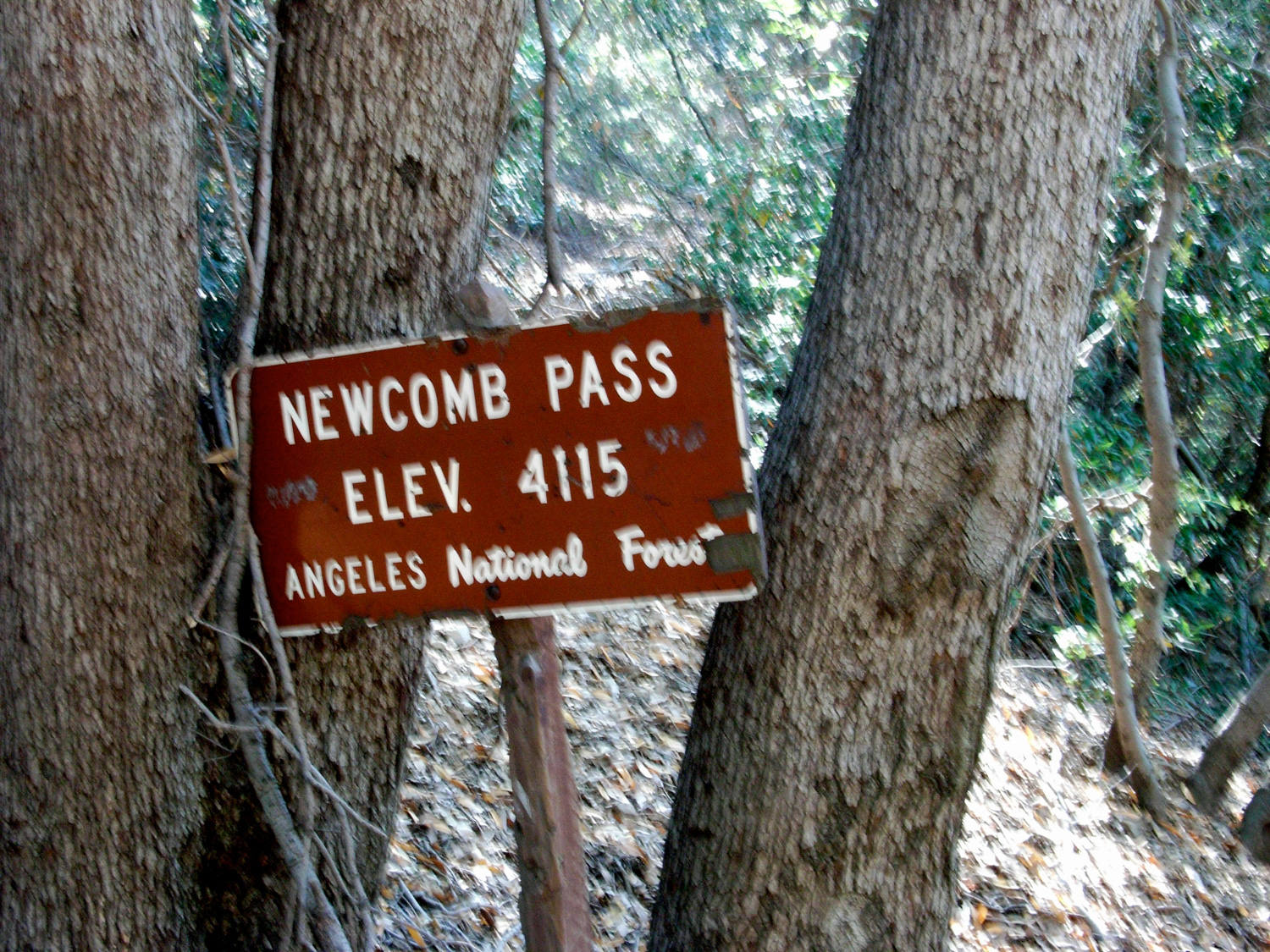
Cross the road and continue on the Gabrielino Trail .3 miles to Newcomb Pass – a nice resting spot before the last major ascent up Wilson’s east ridge.
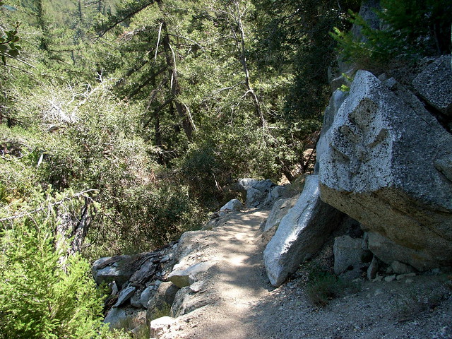
This is the Rim Trail, which stays mostly just to the north of Wilson’s actual ridge, through fern-covered slopes that look like they’d be more at home in Oregon than Southern California.
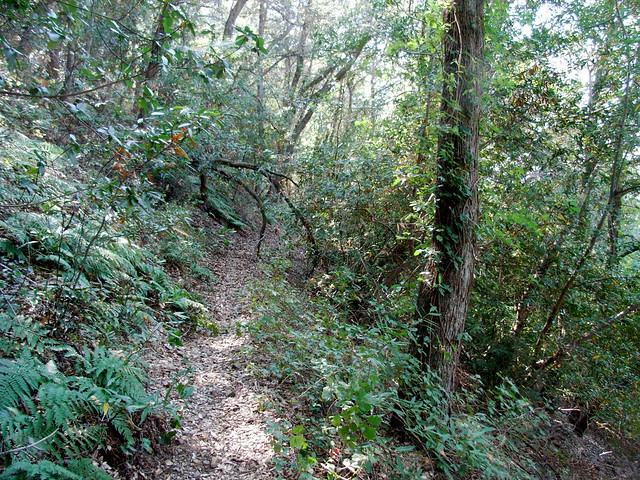
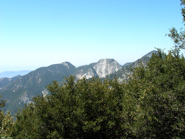
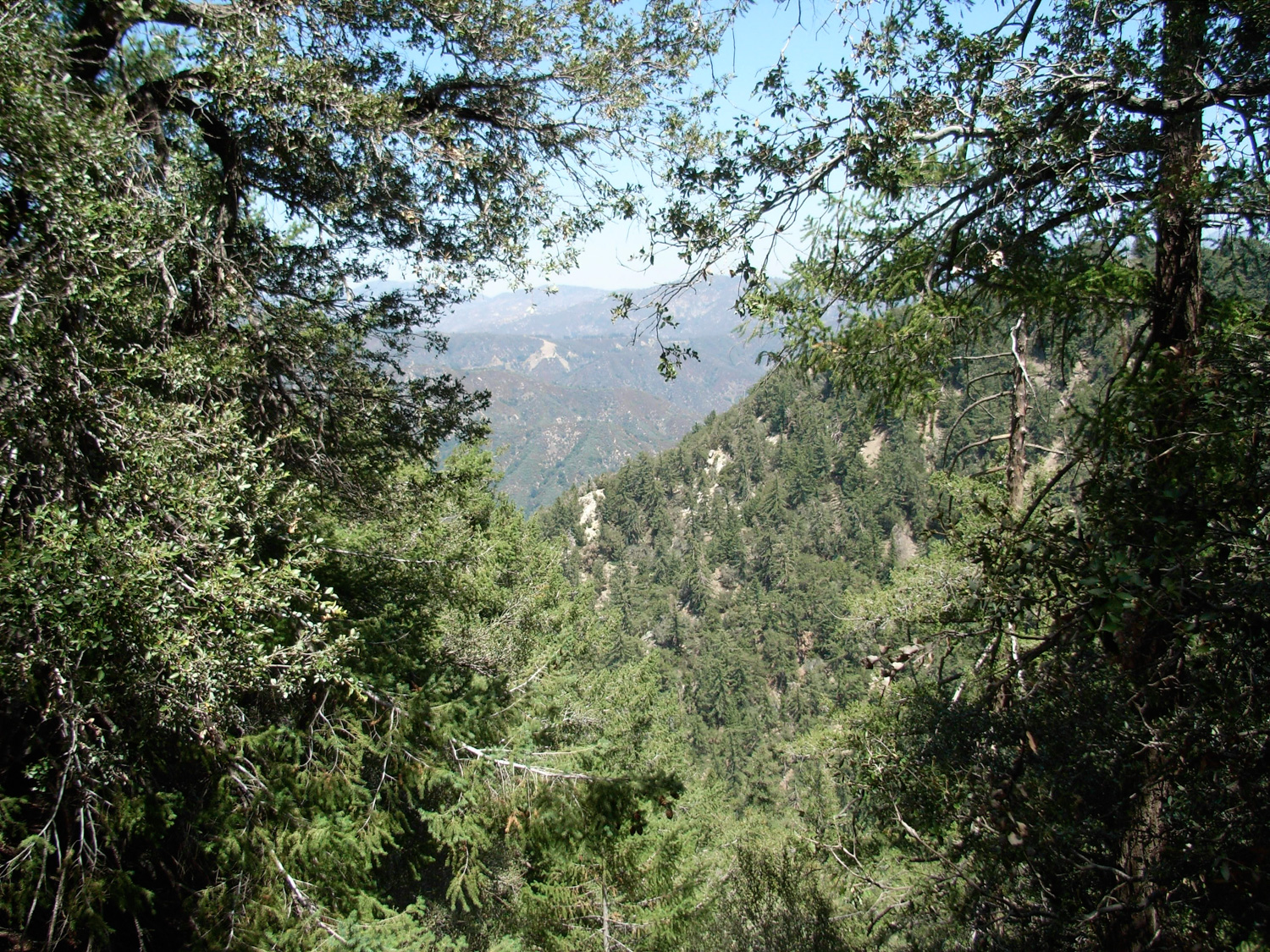
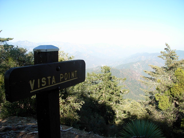
Eventually, you’ll reach the summit plateau on Mount Wilson, near the easternmost observatories, at a vista point that’s probably much nicer when the air’s not clogged up with haze and smog:
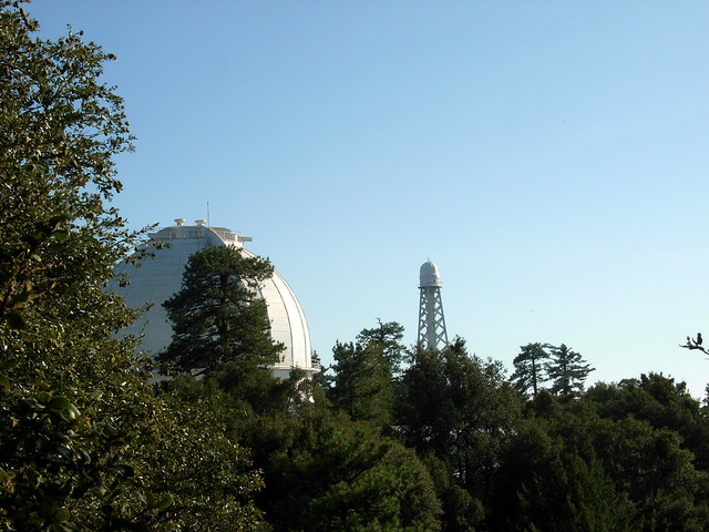
Continue along the trail as it parallels the Observatory Road, eventually meeting up with it on the way back to the parking lot where you started. For extra knowledge, be sure to check out the plaques along the road, explaining how to tell the difference between the San Gabriels’ most prominent plant life.
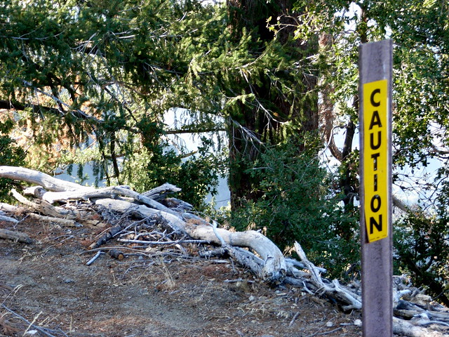
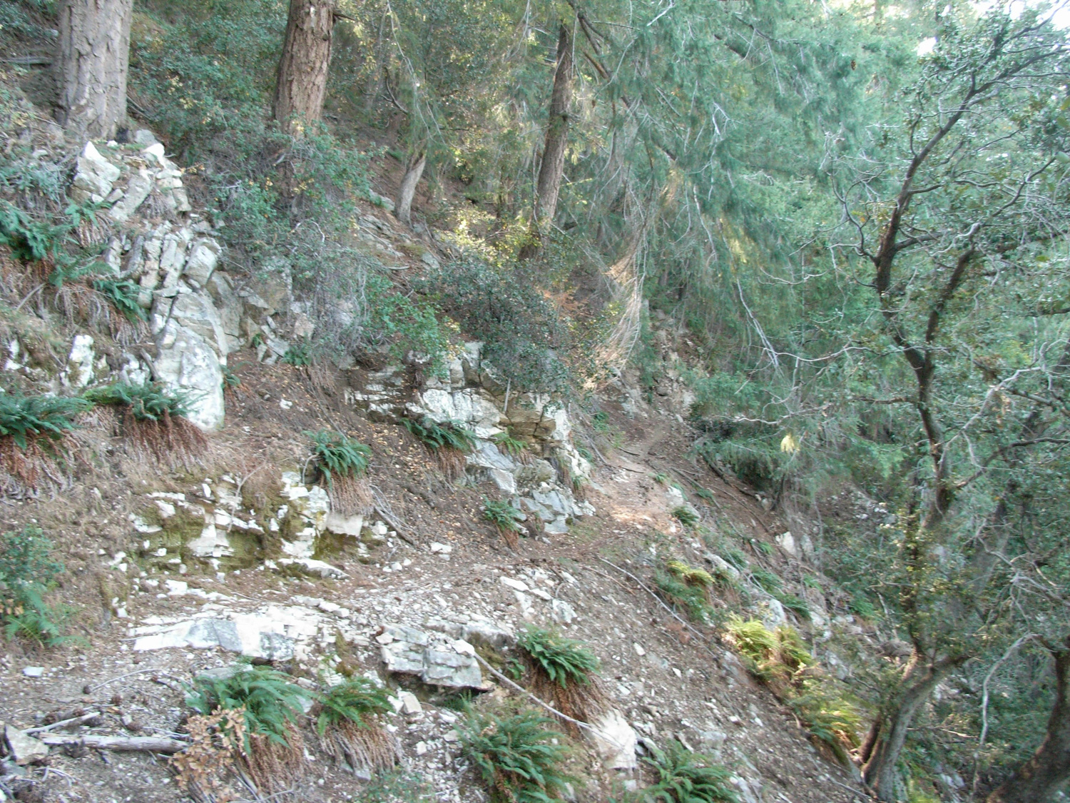
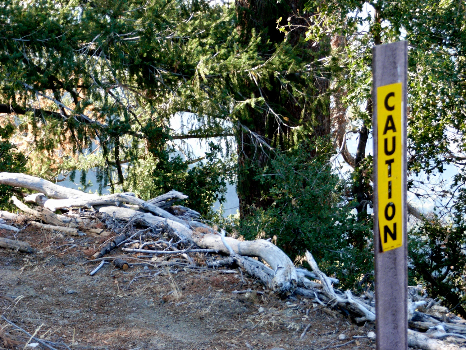
Good. Junctions and crossings are all very well marked, and there are only a few sections of trail between West Fork and Devore camps that get overgrown. There are a few dangerous sections on the Rim Trail near the top of Mount Wilson, where extra care should be taken.
There are 7 campsites at West Fork Trail Camp and 6 at Devore. All are first-come, first-served. Campfire permits are required and can be obtained at any Forest Service office.
From the 210 in La Canada Flintridge, go east on CA-2 toward the mountains. Continue for 13.9 miles, then take a right onto Mount Wilson-Red Box Road. Continue for 4.2 miles, then bear right at the roundabout onto Mount Wilson Circle. After .4 miles, bear right at the gate onto Mount Wilson-Red Box Road again. Continue approximately .2 miles to a small parking area. There is a sign that prevents vehicular traffic beyond this point. Park here and display your Adventure Pass.
37 Comments
I hiked the section between Newcomb Pass and the top of Kenyon-Devore the first weekend of April while doing a counter-clockwise loop from Chantry. With all of the rain this winter poison oak is rampant along the stretch between Newcomb Pass and Devore Trail Camp. Between Devore Trail Camp and West Fork Trail Camp the trail is in pretty poor shape. Lots of blow downs, snags and dead fall to climb up, over and around. For now, unless you like doing a lot of bushwhacking, I would recommend taking the fire road between West Fork and Devore Trail Camps until things are cleaned up a bit.
Matt,
After DeVore, the trail this route follows leaves the river and starts climbing up, so if you were staying along the water you were most likely still on the Angler's trail (see the embedded map near the top of the write up).
Hopefully you can get back to do this one again! The trek up the side of Mount Wilson is steep but fun!
Did this hike yesterday with my fiancee. We are fairly experienced backpackers, but after the Devore Trail Camp we weren't sure if we were heading down the 5 mile Angler's trail or if we would eventually break right to ascend back up Wilson. The trail was difficult to follow at times and very overgrown with poison oak. We even had a large rattlesnake encounter in the brush next to the trail (be careful!). We took it as an omen to simply head back the way we came, especially since it had taken us longer than expected to descend and we didn't want to take our chances on the wrong trail. All in all, it was a great hike - challenging, lots of shade, and perfect for Whitney/Baldy training because you're forced to ascend continuously after exhausting yourself on the first 5-6 miles. Save your water for the ascent.
Good to know. I guess I'll wipe down my pack, too. Thanks.
Yup - and you saw first hand how much they can affect the number! On my GPS track, for this hike, I got a 3893 foot change in elevation using the cumulative method - so you can see just how unreliable that number is. Much more clear for readers (and for me) just to show the difference between the high and low points on the trail.
And yes, Poodle Dog Bush is a huge problem in the Station Fire Burn Area right now. It's an opportunistic fire colonizer and has really taken over in a lot of areas that were scorched in 2009. You do not want to mess with it - it's like poison oak but much, much worse. I know trail crews in the area have to basically disinfect their tools every time they go through an area with it because the hairs can stick to clothing and equipment and they can take a few days to affect people ... and once they do, you're in for a few weeks of awfulness. Really pretty to look at in the spring, but you do not ever, ever want to go near it :)
Thanks, Casey. That's what I figured. Hard to know if all those little ups and downs really add up to an extra 1,000-plus vertical. I know that in Griffith Park, which I know a lot better than I know the ANF, I get a pretty accurate reading. But maybe it's tougher in those deeper ANF canyons and valleys. Either way it was a great hike.
BTW, have you heard of a poisonous plant called "poodle dog bush." I have not, but some guy on the trail warned me.
Also, thanks for doing this site. I just discovered it, but it's exactly what I've been looking for.
Hey Mike, thanks for writing in!
The elevation question is a complicated one. Your GPS tracks your TOTAL elevation gain on the hike ... including all the ups and downs, gains and losses, etc. When we originally started the site that's how we were measuring it, too - but we found that most other sources of info basically give you the difference between the low and high points on the trail as their elevation gain, which is where that 2814 number comes from. The reasons we do chose to portray the information this way are because 1). It's what the vast majority of other hiking and climbing beta sources do and 2). When we did it the GPS-style way, we'd end up with trails that were bumpy but didn't end up having a lot of difference between their trailheads and peaks coming out with HUGE elevation gains, which can be even more confusing (and maybe discouraging) for people to look at. Also, GPS receivers have a tendency to add some extra jumps every now and then, which would make tracking the elevation number extremely unreliable. I hope that clears things up for you!
Thanks for the update on the trail condition, too! I'm kind of bummed the Forest Service kept hikers off these trails for so long after the Station Fire because now a ton of them are very badly overgrown :(
OK, now it's working. So I did this hike on Friday. Great description and directions. Took me just under 4 hours of moving time; 4:56 with stops. I was moving pretty fast. Parked at the turnoff just east of the Devore trailhead. Besides some washed out sections due to mud and rock slide, the first section was easily passable all the way to West Fork. Heads up if you wanna bail out on the Valley Forge trail: I missed the turnoff, which wasn't marked, or well marked. Anyway West Fork to Devore was the slowest part. Lots of washed out trails and soooooo much poison oak. The trail disappears here and there but it's findable. The climb from Devore up to Newcombe Pass, and then Newcombe up the Rim trail, is a slog, and was very poison oaky. Wear pants and sleeves. I did not, and got very lucky. Made lots of contact with leaves but I guess they were summer-dry, and I used Tecnu before showering -- AND Benadryl spray after showering. No itch or rash!
A question about elevation: My Garmin 220 GPS watch tells me I started at 5677 feet, and that my lowest point was 2834 feet. With spikes and dips along the way, it tells me my total elevation loss was 4231 feet and my total gain was 4181 (this takes into account one wrong turn, at the Red Box Road just below Newcombe Pass, where I turned left and walked about a quarter mile uphill before realizing I made a wrong turn and backtracking).
Is it possible that my GPS is that accurate? Or is it just way off? 4181 is A LOT more than 2814.
Anyone?
Hiked this yesterday. It was beautiful and secluded. I arrived at trailhead around 8am and didn't see a single person until I summited again around 2pm. I didn't find the trail too overgrown to follow and the Rim Trail seemed to have been repaired since that picture in the blog post. The West Fork trail camp was a quiet place to rest and take a dip in the flowing, yet freezing, river.
Hiked this one today. The trail can be difficult to follow between West Fork Camp to Devore. The poison oak in this area is out of control, important to keep an eye out. Lots of fallen trees on the trail as well. Could definitely benefit from some maintenance love. Still a lovely hike though, and you'll get a killer workout.
With recent wildfire damage and ongoing waves of COVID-19 infections and restrictions, National Forest, National Park, and other public land closures, restrictions, or social distancing guidelines may be in-effect.
If infection rates are on the rise, please do your best to remain local for your hikes. If you do travel, please be mindful of small gateway communities and avoid as much interaction as you can. Also remember to be extra prepared with supplies so you don't have to stop somewhere outside your local community for gas, food, or anything else.
Please be sure to contact the local land management agency BEFORE you head out, as these conditions are likely to change without enough notice for us to fully stay on top of them. Thanks, and stay safe!
Click here to read the current CDC guidelines for traveling during the COVID-19 pandemic.