West Fork Trail is an enchanting hike along the canyons of the tranquil Oak Creek that runs through Sedona, Arizona. You will be sure to get your feet wet, as this 8-mile round trip trail crosses the creek numerous times. From hiking along the towering canyon walls, being in a dense forest, and ultimately ending up in the canyon’s creek this trail’s landscape is constantly changing. With every turn a new picturesque site emerges and it just keeps getting better and better. Water shoes are highly recommended for this route, unless you really like taking off and putting on your boots a lot.
This is a popular trail so it’s best to get to the trailhead when the gate opens, at around 8:00 AM. You will also need to make sure to have cash handy, as there is a $9 fee to park. If the parking lot is full, you will likely see a line of cars waiting to enter. Trust me, this hike is worth the wait, so get in line. Typically, the line moves rather quickly as some people only hike a short distance and then leave.
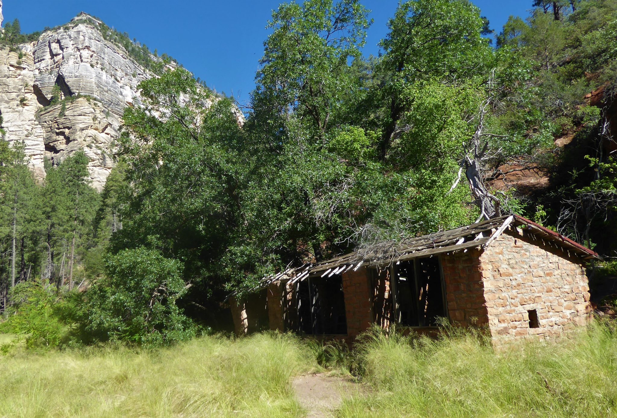
This area where the West Fork Trail now roams used to be home to an extravagant hunting and fishing lodge. The novelist Zane Grey stayed at this lodge and was inspired to write his novel, “The Call of the Canyon.” This book was later turned into a movie, which was also filmed in Sedona.
In the late 1960s, the National Forest purchased this land so that all could enjoy the beauty it has to offer. Shorty after the purchase, a fire unfortunately destroyed most of the lodge. Today, only a few remnants can still be seen, including pieces of the old lodge and a chicken coop — all surrounded by overgrown forest and field.

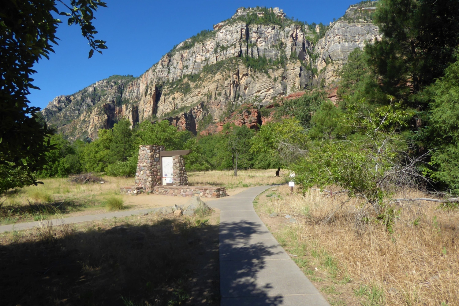
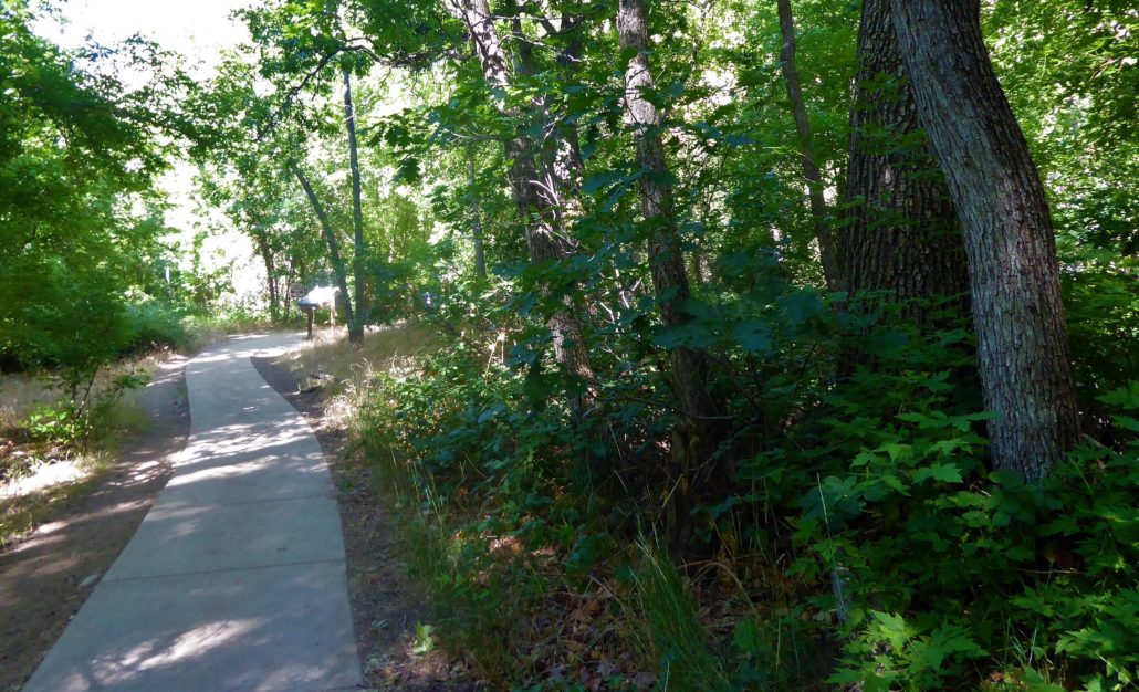
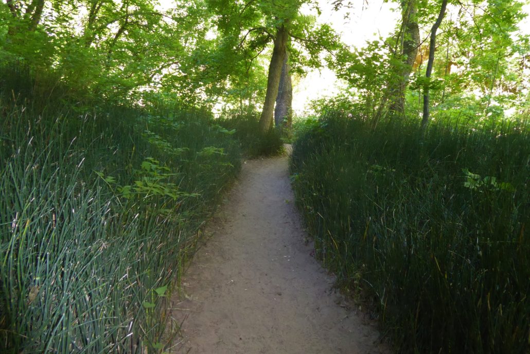
The trailhead is appropriately named “The Call of the Canyon” and starts as a paved path leading toward the canyon. The lush vegetation growing about knee high attracts friendly butterflies who might flutter along the trail with you, going from bush to bush.
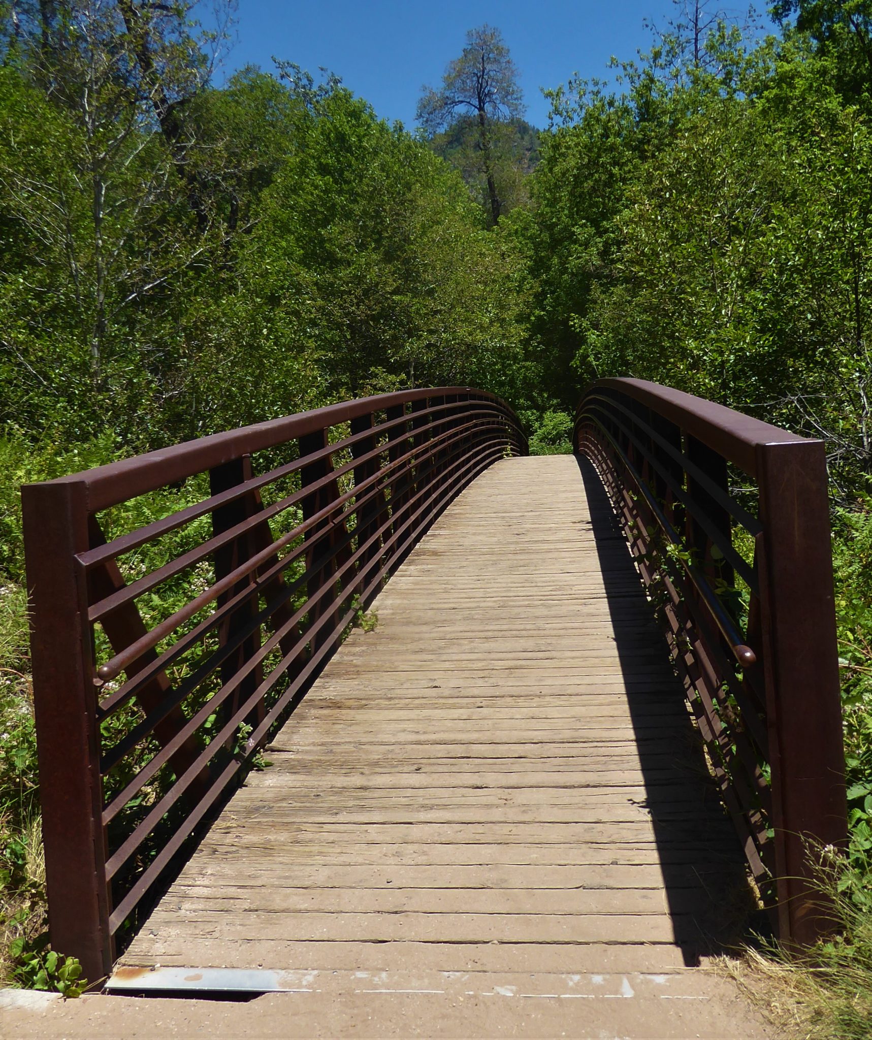
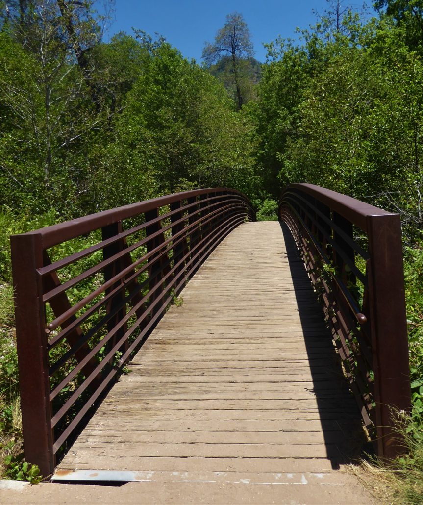
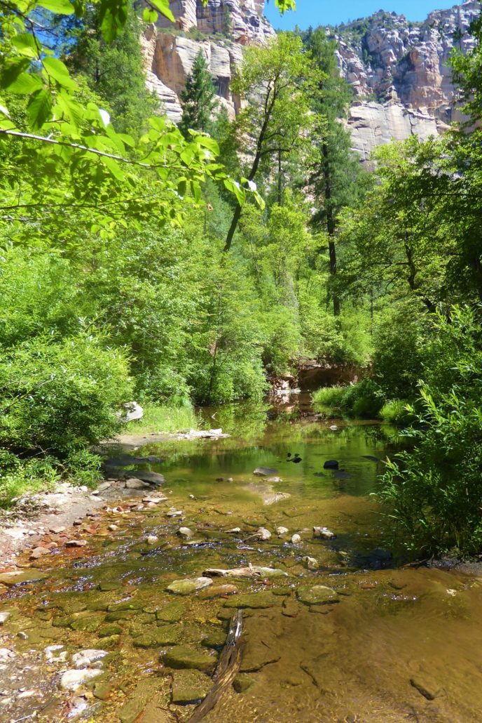
You will come to a bridge where you get your first view of Oak Creek. Once past this bridge, the trail becomes a sandy dirt path.
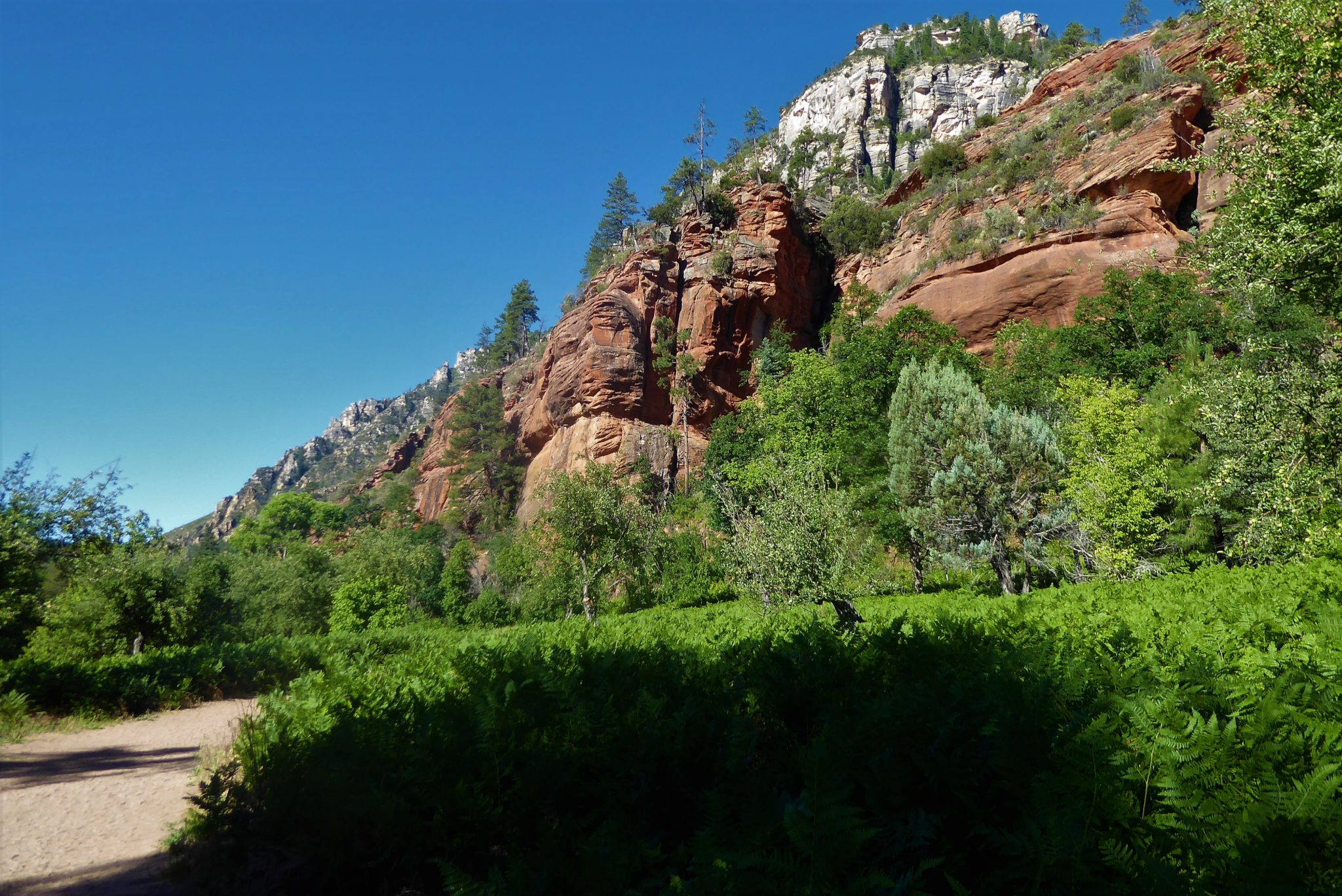
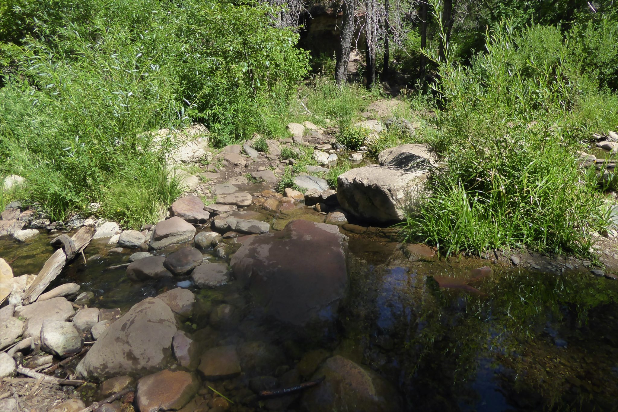
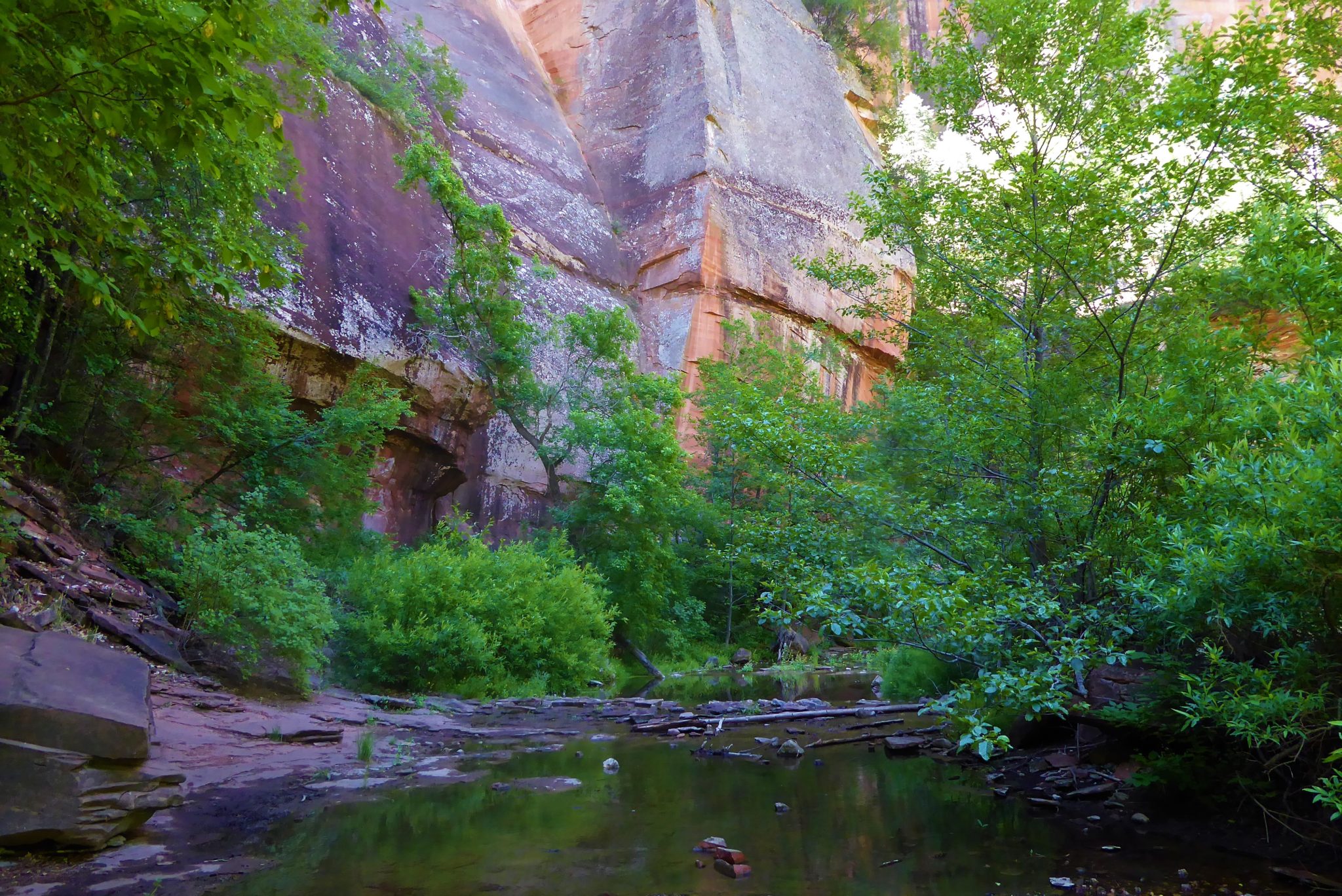
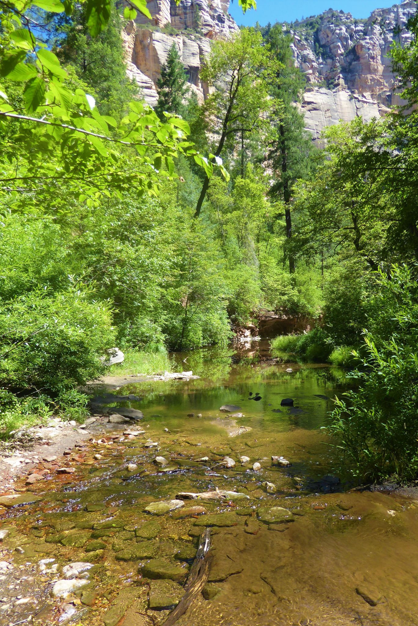
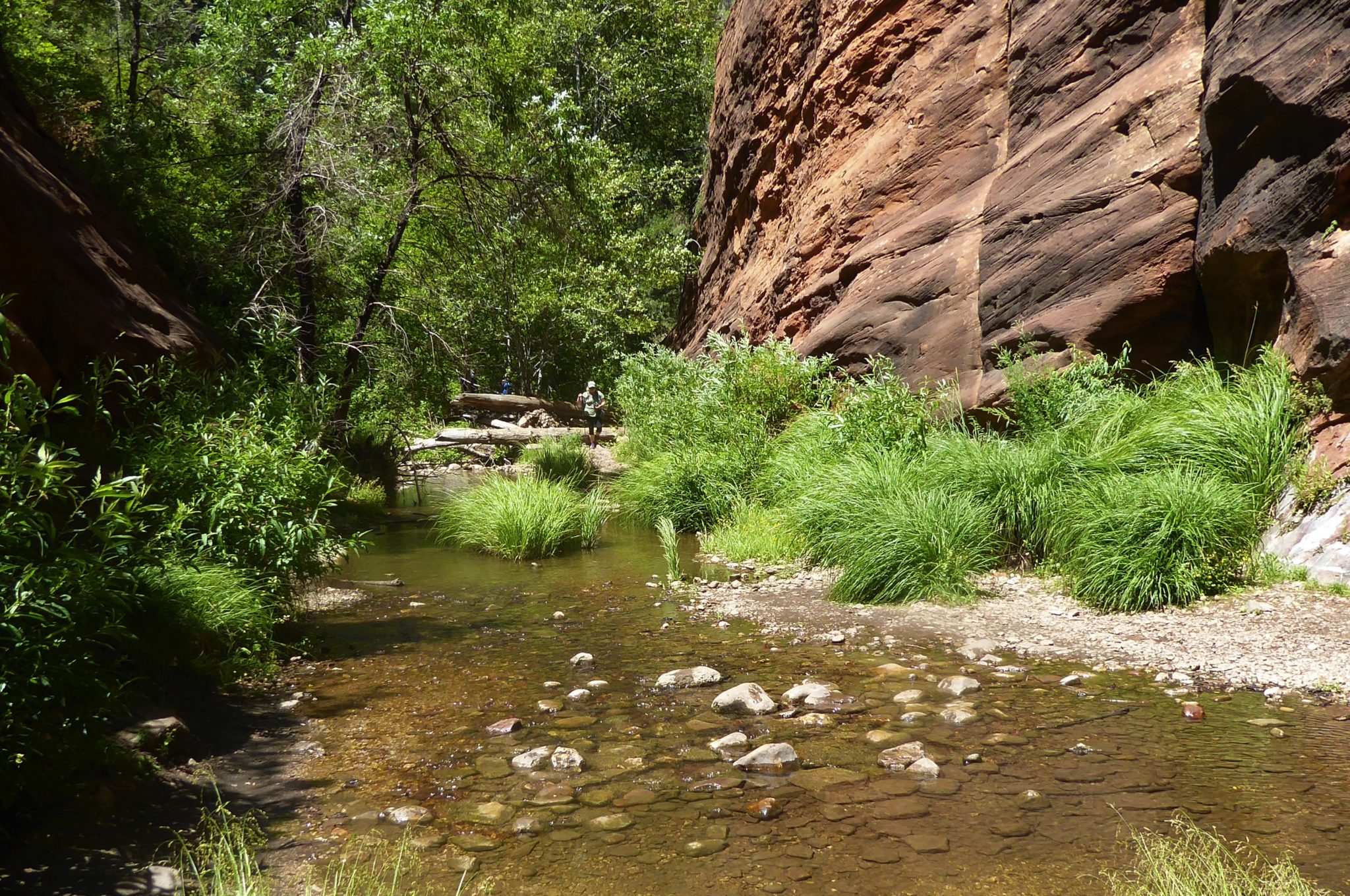
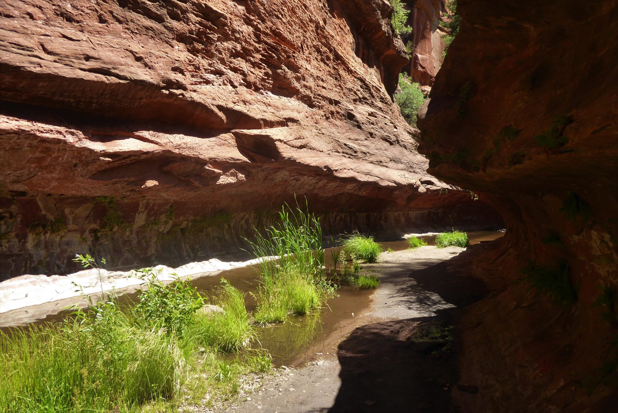
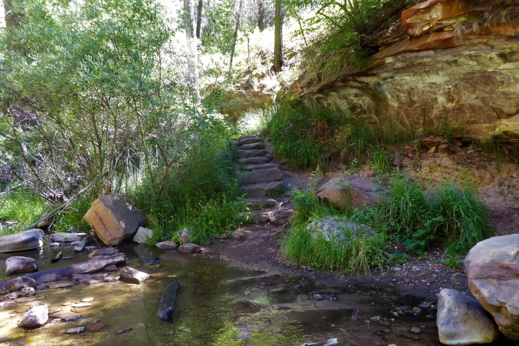
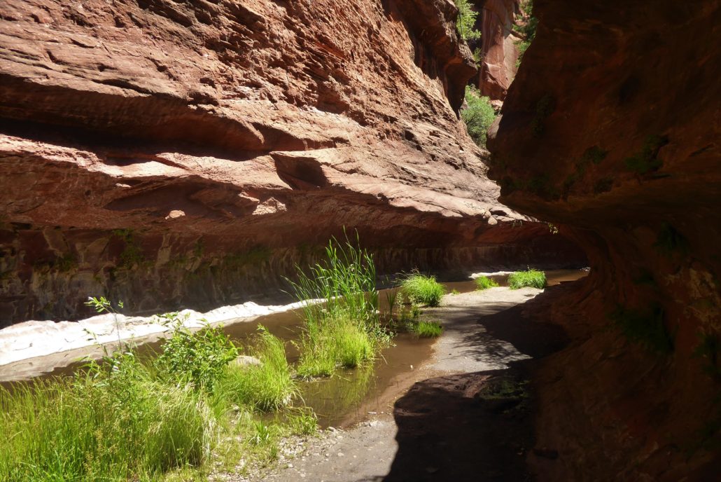
As the trail veers towards the mouth of the canyon, Oak Creek will appear on your left-hand side. With the huge canyon walls emerging up from the creek, this area feels secluded and guarded from everyday city life.

As you come to the numerous creek crossing areas, the water is typically about ankle deep. At times there will be rocks and logs placed in the water to walk onto as you are crossing, and at other times you will need to walk directly into the water, so definitely be prepared to get your feet wet! For this reason, I wore hiking sandals and was really happy I did.
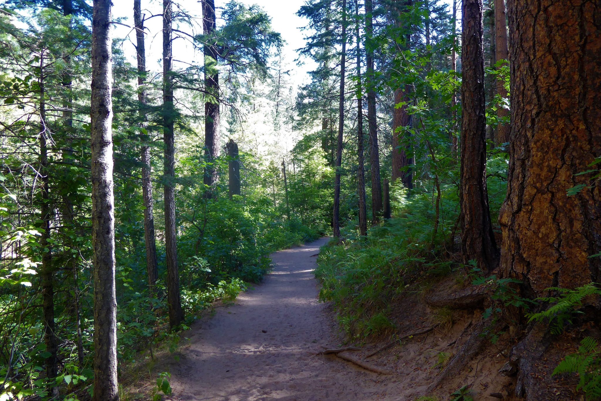
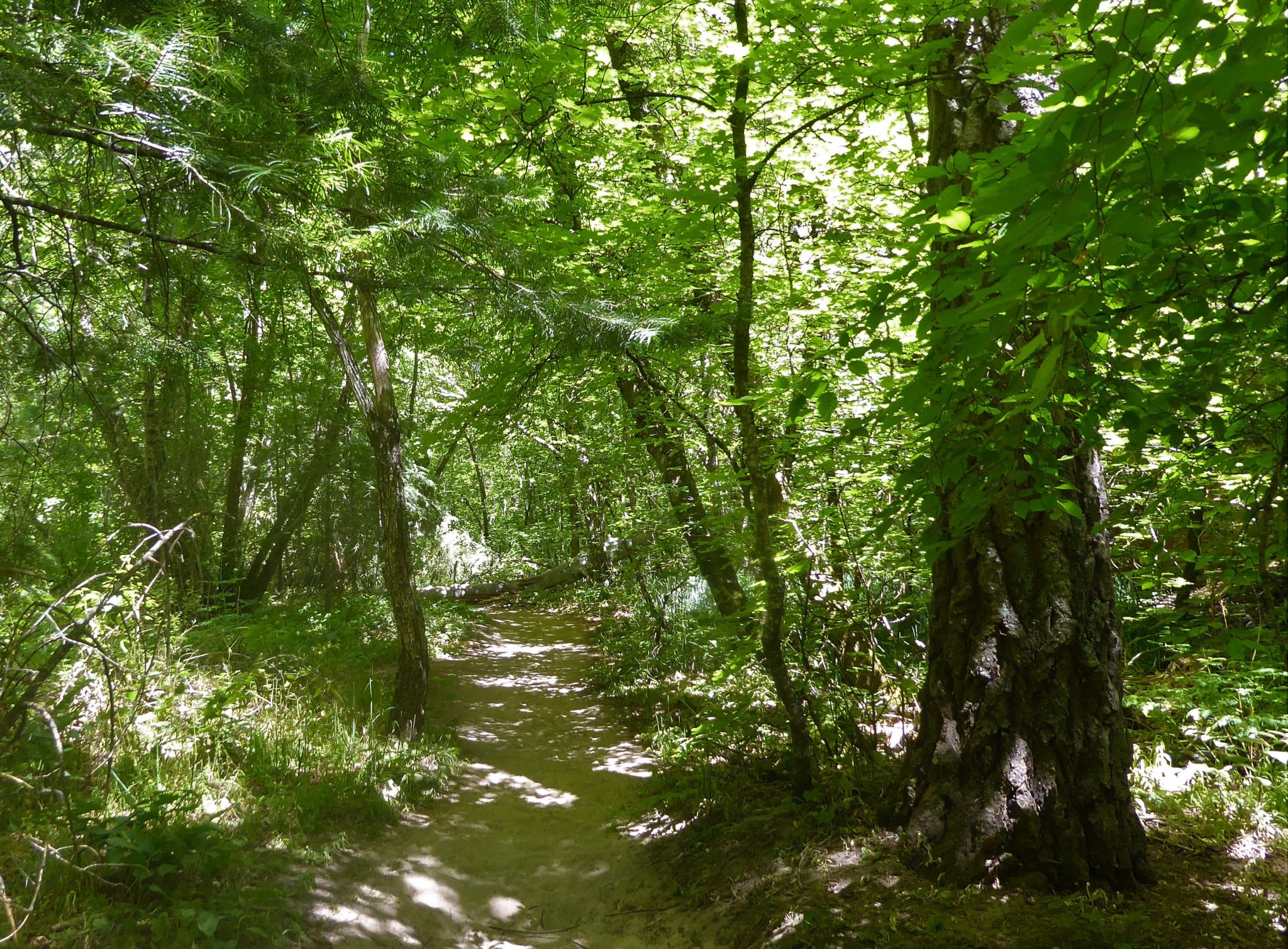
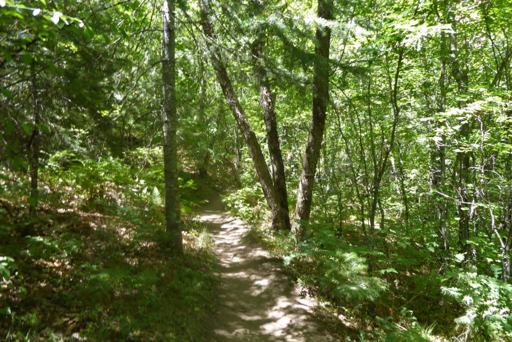
The trail moves into areas surrounded by dense pine trees which provide some nice shade over the trail, and moves the hike into yet another change of character. It’s easy to feel like you’re walking through some sort fo enchanted forest here:
While this trail is popular, there are definitely moments where you will not come across another hiker for a while. Due to the distance of the trail, not all hikers trek all the way to the end, so the farther you go the less populated it becomes. This trail also has so many scenic spots that it’s common to see people just chilling in their own little areas of the creek or hanging around in hammocks. You’ll probably agree it’s not too bad of a place to kick up your feet for a while.
The path remains relatively flat and sandy. Toward the end, there will be areas where you will be on a slight incline walking along the rocks, but nothing too challenging. A sign marks the end of the maintained trail.
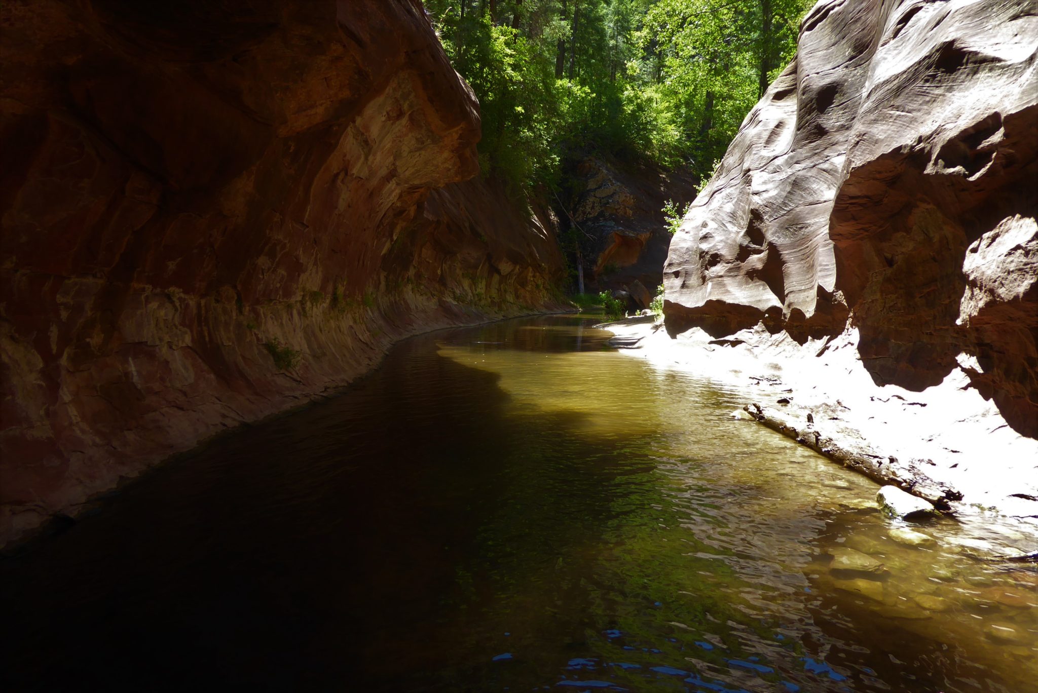
Continue past the sign and you will reach an area where the trail goes right into the creek.

This is a great area to take a break and get into the water. The water is deeper in this area going up to your knees. After hiking your way here, the cold water refreshes and re-energizes your legs. Even hikers who had no intention of going more that ankle deep in the water usually can’t help but take their shoes off to walk in the creek for a little refreshment.
From here you can turn around and head back or you can continue further if you’re in the mood to explore. If you are backpacking this trail, you will need to hike another 2 miles on this unmaintained portion until you are able to set up camp.
Tags: Arizona, AZ, hike, Hiking, Oak Creek, Red Rocks, sedona, trail, trail write-up, West Fork, West Fork Trail