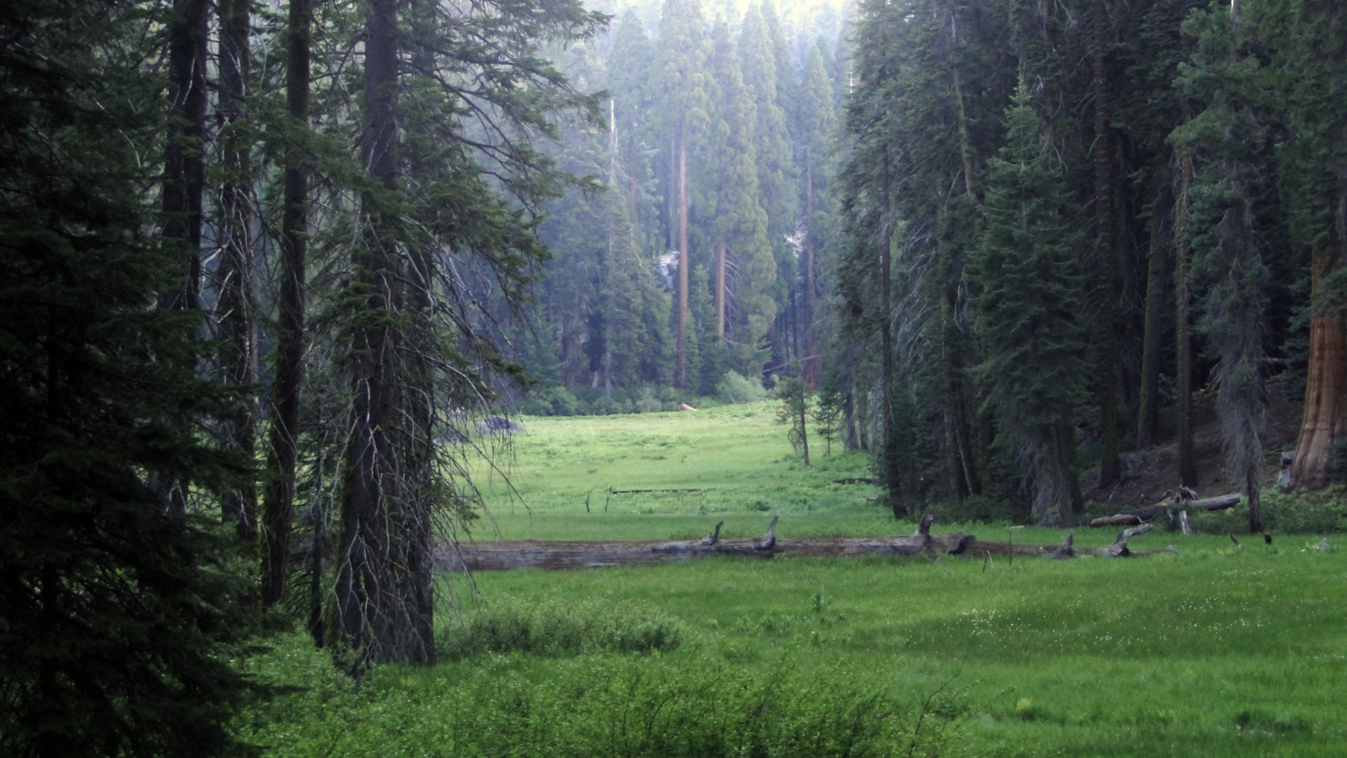
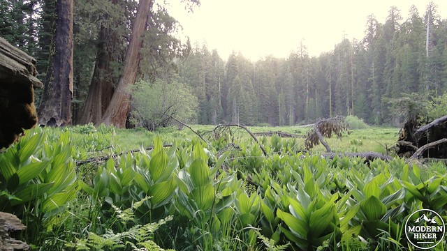
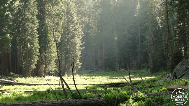
Aside from the Big Trees, the most striking features in Giant Forest are the meadows. In various locations, a natural barrier near a relatively flat bit of land causes a stream or several streams to meander sluggishly, creating a marsh that is too soft and unstable to support tree growth. This creates large, open spaces with to the high concentration of moisture that support a rich mixture of plant life, including a bewildering array of flowers. With a rich mixture of plant life comes a rich mixture of wildlife, and these combinations create some of the most beautiful, lush, and serene places in the Giant Forest area.
Crescent Meadow at dusk
The land surrounding the meadows is often prime sequoia habitat, which means that Giant Forest’s meadows are ringed by towering trees. Occasionally, sequoia trees will extend too far into the soft, wet ground, causing the sequoia to destabilize and eventually topple into the meadow. There are often sequoia logs, which decay exceptionally slowly, criss-crossing the meadows, allowing hikers to walk along the logs into the very heart of the meadow. It should be noted that walking directly on the meadow is forbidden for humans, although it is quite common to see bears and marmots nosing around in the rich growth for tasty tidbits.
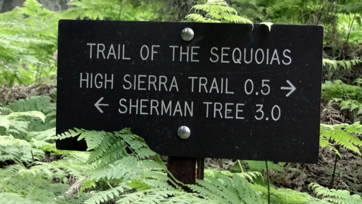
Along the Trail of the Sequoias
The Trail of the Sequoias as presented here visits four of the major meadows in Giant Forest: Crescent, Log, Circle, and Huckleberry Meadows. Each meadow follows the pattern outlined above while maintaining both a specific individual character and a universally stunning beauty. In addition to visiting these meadows, the Trail of the Sequoias visits some of the less-traveled portions of Giant Forest far from the crowds that congregate around the Sherman Tree.
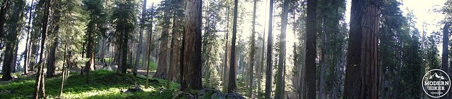
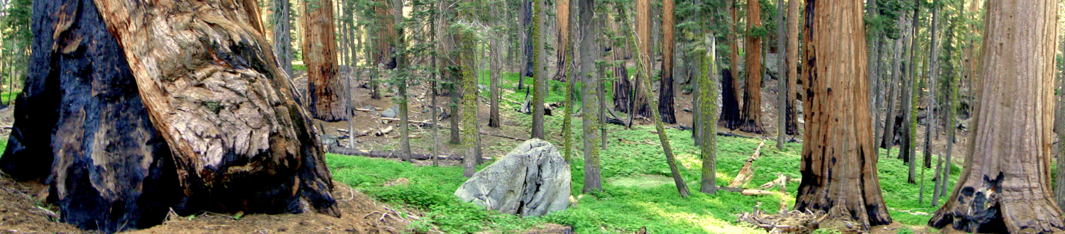
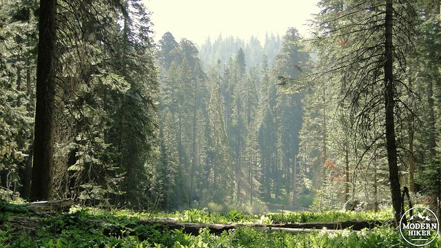
Giant Forest
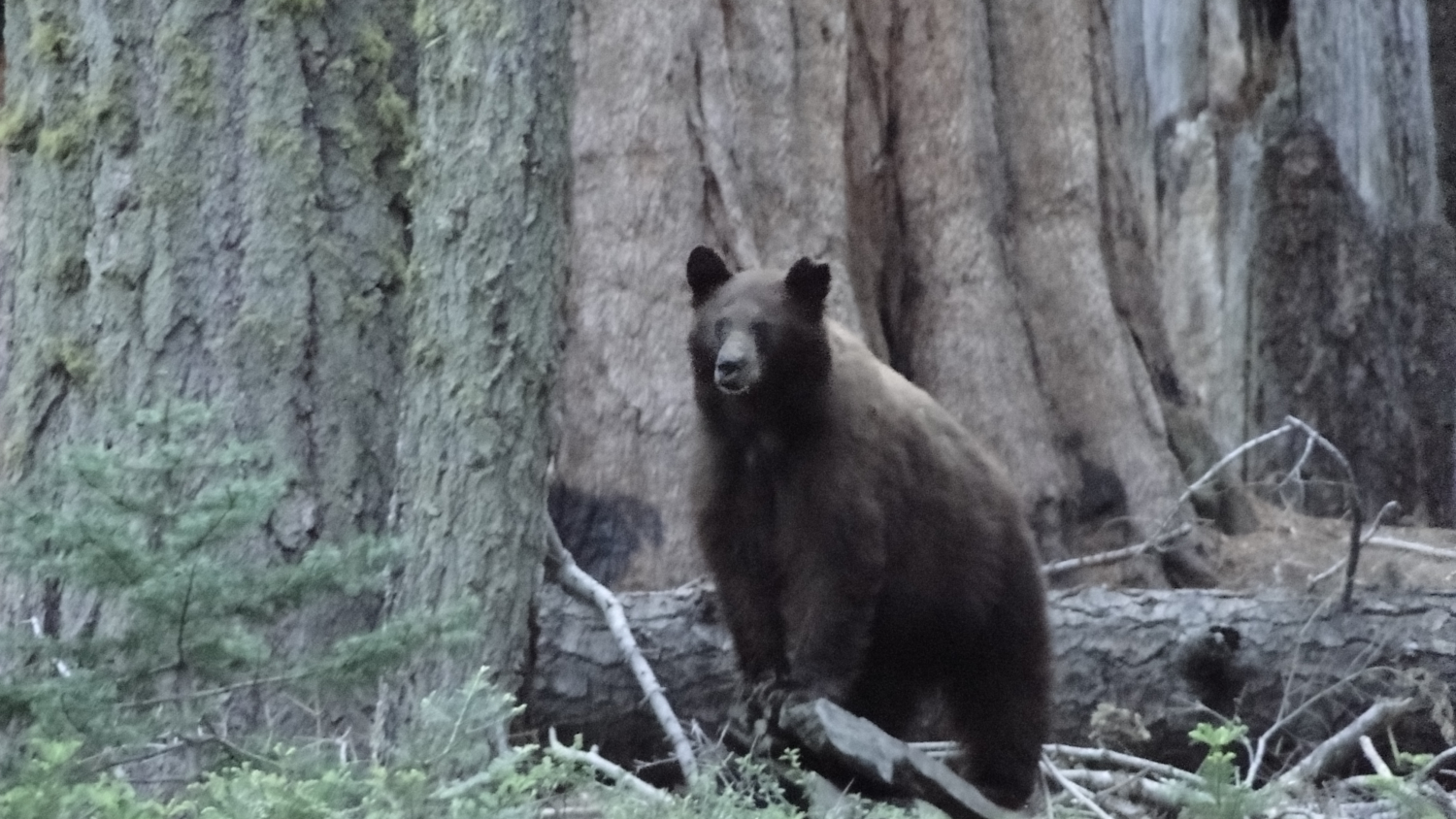
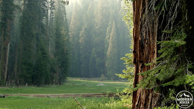
This trip begins at the Crescent Meadow parking lot and trailhead, which is also the trailhead for the High Sierra Trail. After parking and ensuring that you haven’t left any scented items in your car to tempt the numerous bears that frequent the area, head toward the signed trailhead, perhaps daydreaming about walking the 70 miles of high country trail between here and Mt. Whitney. This segment of trail is paved, and it will remain so for about the next mile. After passing through a brief patch of trees, the trail skirts the southern edge of Crescent Meadow, which is the largest and perhaps the most beautiful of Giant Forest’s meadows. You will see a sign at an opening in the trees displaying John Muir’s opinion that Crescent Meadow is “The gem of the Sierra.” I can’t say I disagree.
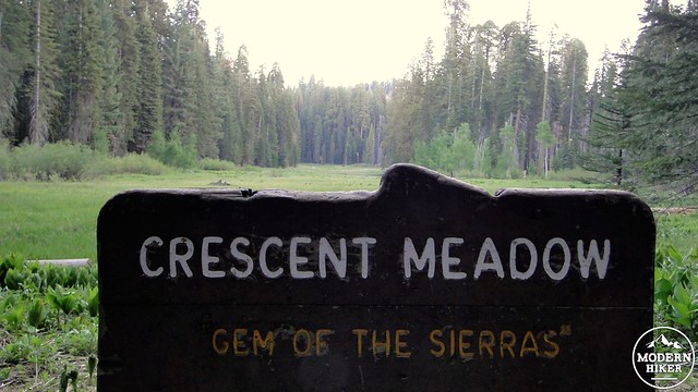
So says John Muir
The trail will take a bend to the left along Crescent Meadow’s southeast corner before coming to a marked junction toward Log Meadow/Tharps Log. If you’re feeling disappointed at the relatively brief amount of time spent along Crescent Meadow, be reassured that this trip will return along the meadow’s western edge, allowing plenty of time to admire and explore. Follow the paved trail along a stream through sequoia groves before coming to a relatively bare and rocky portion of forest set on a ridge. This section was part of a recent controlled burn. Additionally, the ground is a little less conducive to sequoia growth and is therefore not quite as densely forested. However, the trail will drop down the other side of this hill and emerge at the western edge of Log Meadow.
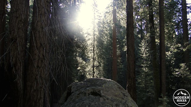
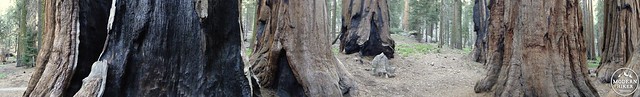
Sequoias near Crescent Meadow
Log Meadow gets its name from the presence of the domicile of Hale Tharp. Tharp was the first white man to visit Giant Forest, and he established a land claim here to raise cattle on the rich grasses present throughout the area. During the summers, he would raise his cattle while living out of a cabin built into a hollowed-out sequoia log. The cabin remains at the northwestern end of the meadow, and it is remarkably well-preserved. This is a fine spot to meander and explore Log Meadow and Tharps Log before moving on to the actual Trail of the Sequoias.
Log Meadow near Tharps Log
As you take a right at the junction just past Tharps Log, you will skirt the northern end of the meadow before coming to another junction indicating the Trail of the Sequoias. This connector makes a breathless climb before coming to another junction that can be almost entirely obscured by ferns. Take the left onto the Trail of the Sequoias, which will carry you further uphill and then along a cool, shaded ravine with a trickling stream. Lush greenness abounds on this segment, and there are countless opportunities to pause and enjoy the stillness and natural soundscape around you. This peaceful stretch of trail feels lightyears removed from the nearby bustle of the Sherman Tree.
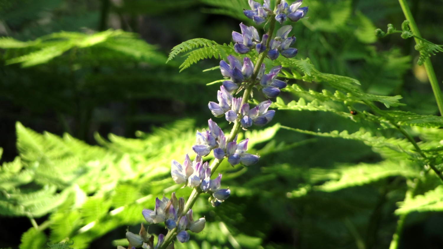
Forest floor carpeted by pre-bloom lupines
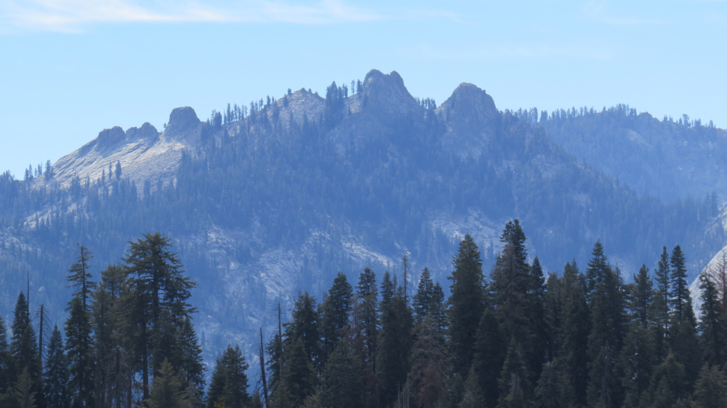
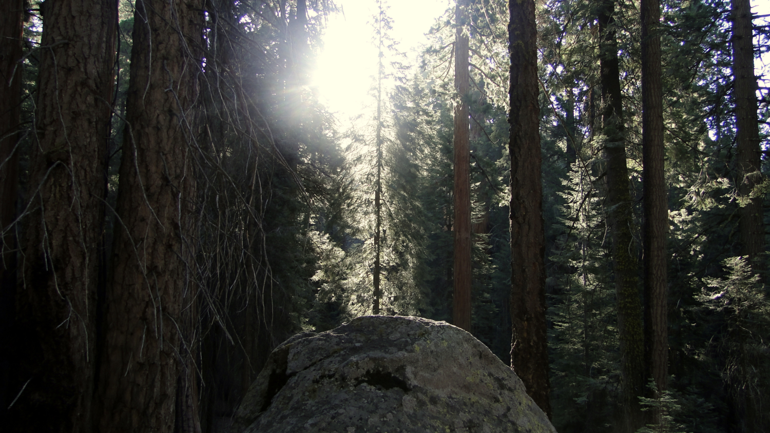
The trail continues on along a west-facing slope past many fine sequoias before coming to another ravine and making a sharp bend to the left. After this bend, the trail will commence climbing up a slope before emerging at an open, rocky, sunny slope. If you take this trail early in the morning, this is likely to be the first sunny spot you encounter, and if you look east, you can enjoy the morning sun filtering through dense patches of sequoias and other conifers.
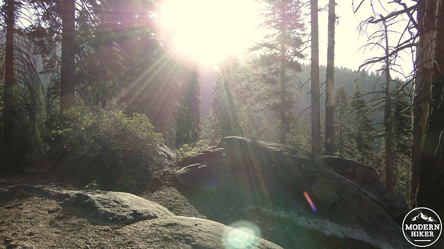
Sun rising over the ridge in the heart of Giant Forest
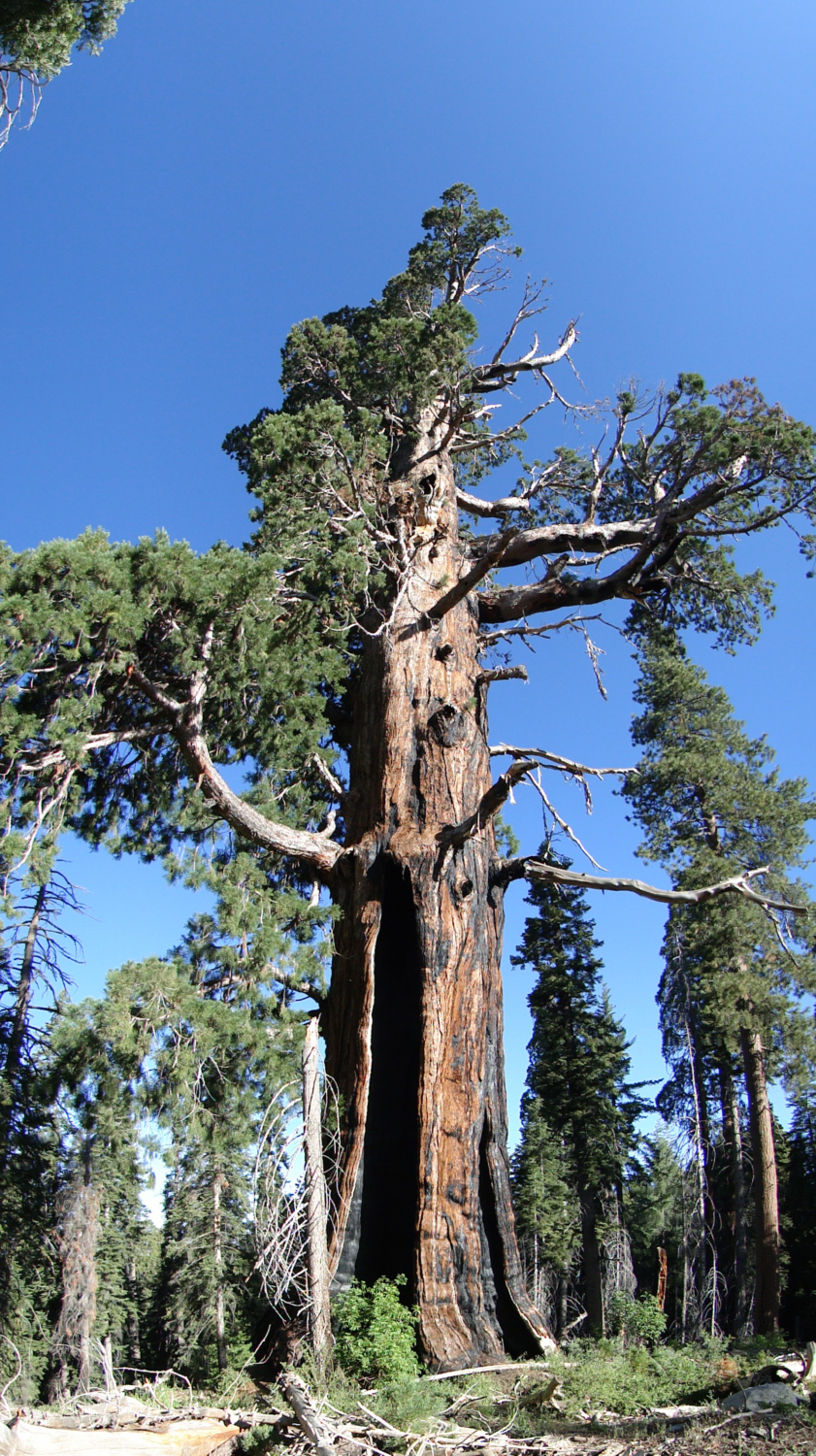
Once the trail gains the ridge, it emerges on a relatively flat stretch. Most of the vegetation here is either chaparral, including manzanita, ceanothus, and chinquapin. Tiny pink flowers will fill up sandy spots between granite slabs. Amidst all of this stands a towering, grizzled old sequoia tree. As far I know, this tree hasn’t been affixed with a name, and, given my fondness for this particular tree, I have taken to calling it the “Sun Giant,” after the Fleet Foxes song. This sunny spot with the towering tree are a wonderful change of scenery after the dense forest you’ve been traveling through, and personally, it’s one of my favorite spots in the entire forest.
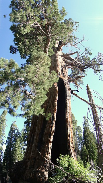
“The Sun Giant”
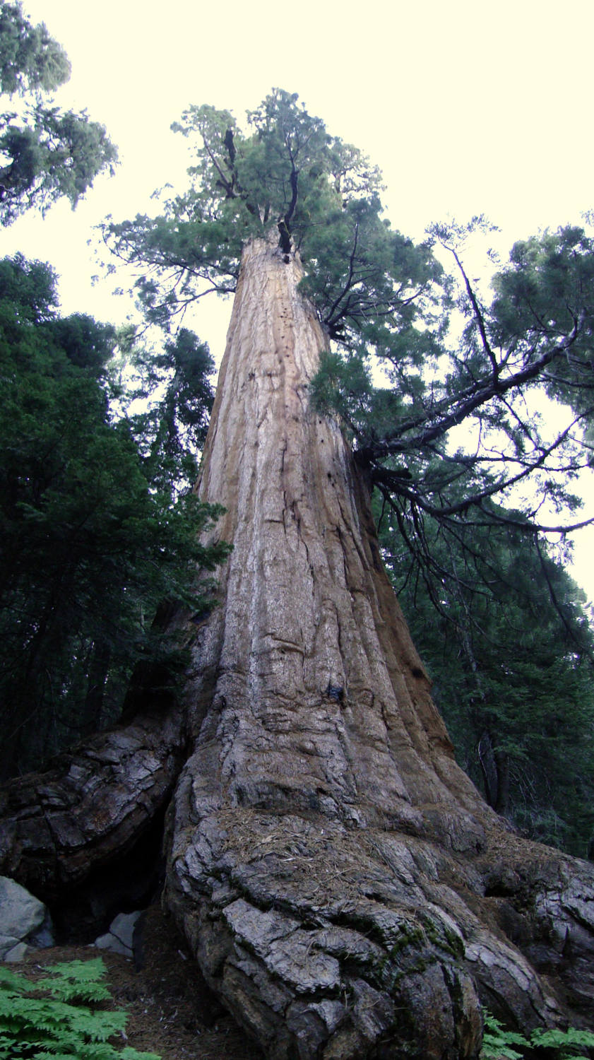
It also marks the halfway point of the hike. From here, the trail will descend down the west side of this ridge and back into dense sequoia forest. At the end of this descent, you will emerge at the base of a massive sequoia that has been dubbed “Chief Sequoyah.” The misspelling is not an accident. It actually refers to a Cherokee chief who developed a written alphabet for the Cherokee language, which later led to skyrocketing literacy rates among pre-literate Cherokees. Coincidentally, the sequoia tree was not named after Sequoyah. As far as I can tell, a scientist named a compound that was distilled from sequoia leaves “se-quoi-ene,” which later became the basis for the name sequoia. Also coincidentally, the name sequoia itself narrowly won out over the common British name Wellingtonia, which the British still use. Of course, I’ve seen accounts that directly contradict this, often from the same source. It’s difficult to know just where and how the tree got its name. I suppose you can take your pick.
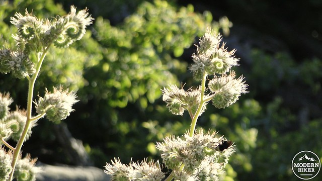
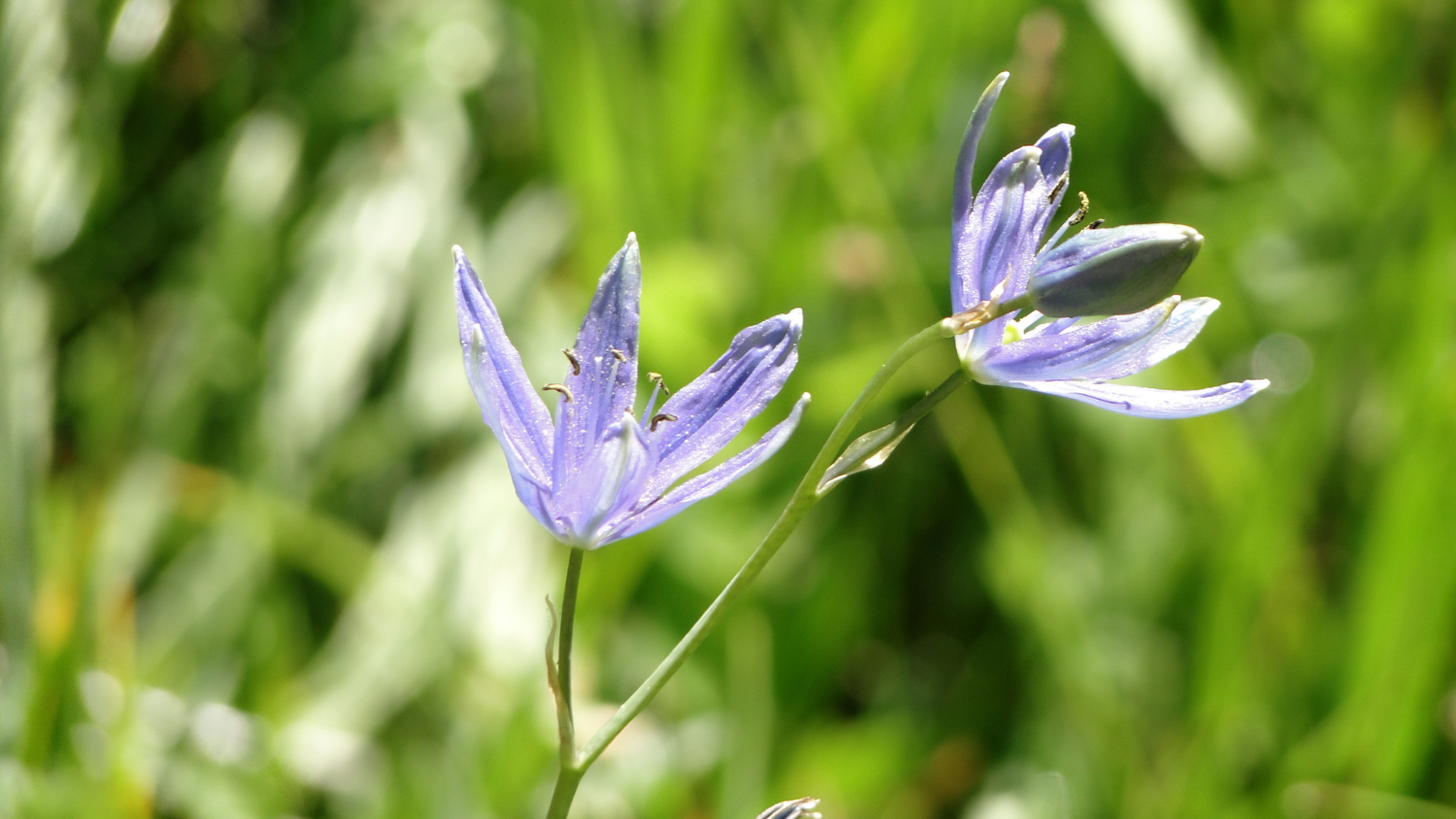
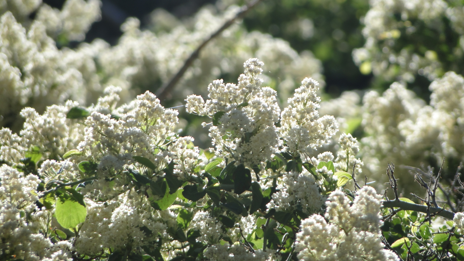
Weird flowers
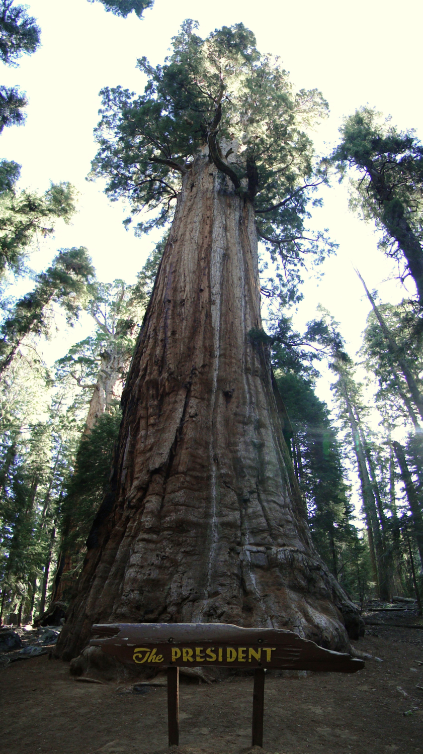
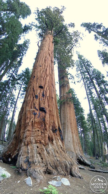
Chief Sequoyah is the first of a number of trees you will be enjoying as the Trail of Sequoias terminates at a junction with the Congress Trail. If you follow the connector trail to Congress, you will soon come upon the President tree, which is currently either the second largest or third largest sequoia tree, depending on whom you ask. Some people believe the President is starting to rival Sherman as the world’s largest tree. Nearby is the Lincoln tree, which is the fourth largest. Also nearby is the Washington tree, which was second largest until a fire burned the top third off in 2005. In addition, you will find the McKinley tree, which is not in the top ten, but it is pretty close. Also present is the Franklin tree, which is the world’s 8th largest, but remains largely ignored due to the more famous trees surrounding it.
Near the heart of the forest
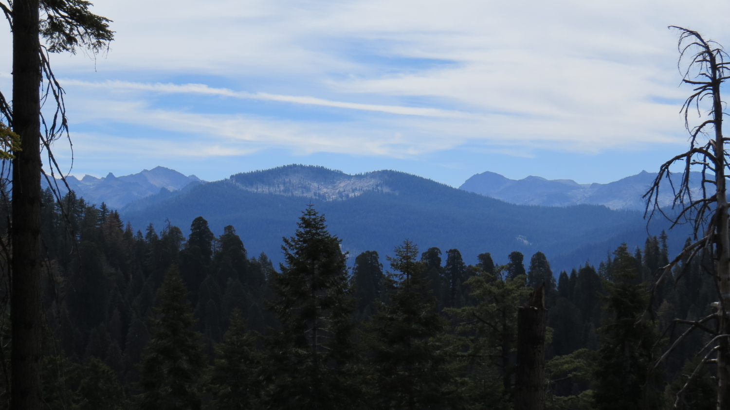
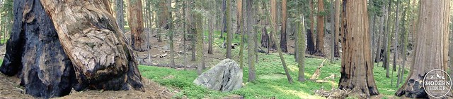
Essentially, you are now standing in the heart of the forest, where many of the largest trees thrive. You’ll also find the Senate Group and the nearby Congress Group, which are pure stands of maturing sequoias reaching respectable size. Remember that Giant Forest also contains the 10th, 12th, 14th, 18th, 26th, 29th, 34th, 37th, and 42nd largest sequoias, and you will begin to appreciate why many, including John Muir himself, consider this the finest sequoia grove in the world.
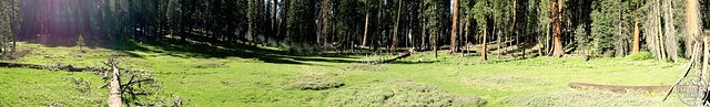
Circle Meadow
As you continue, you will make a left onto the next trail heading south which will ultimately take you back to Crescent Meadow. After this trail passes through more sequoia forest, it will bring you close to the southeast edge of Circle Meadow. While not exactly a circle, this meadow forms a large C-shape from being fed on two sides by two separate streams. It’s possible to follow trails around the meadow for further exploration, but for the purposes of this trail, you will only skirt the bottom corner. This is still a welcome site, as this part of the meadow is dense with trees and is absolutely stunning in the morning light.
Huckleberry Meadow
The trail will then junction with the Huckleberry Trail that heads due south toward Crescent Meadow. The trail will gain a low saddle before dropping down to the north end of Crescent Meadow. With the meadow in sight, you will take a .6 mile detour to the final meadow on the trail, Huckleberry Meadow. This trail will pass through another fairly recent burn zone before emerging at a junction with a large wooden cabin. This is Squatters Cabin, which was establish by people who laid a contradictory claim to Hale Tharp’s. As the residents were technically squatting, they were eventually asked to abandon the cabin, which still looks pretty sturdy today. Follow a use trail through ferns and lupines to a fallen sequoia log which juts out above Huckleberry Meadow. This is a fine place for a snack and a rest, but be careful walking along the sequoia log if you do go up there.
Crescent Meadow on the return
Retrace your steps back to the junction near the top of Crescent Meadow and make a right toward the Crescent Meadow parking lot. Here is your chance to spend some time enjoying Crescent Meadow, which was only briefly glimpsed at the beginning of the trail. The trail will take you along the western edge of Crescent Meadow where there are numerous opportunities to walk out into the meadow on old fallen sequoia logs. Be mindful not to step on the meadow itself, as it is an extremely fragile environment. Crescent Meadow is also a great spot to view wildlife as there are frequently more bears, deer, and marmots around here than seemingly anywhere else.
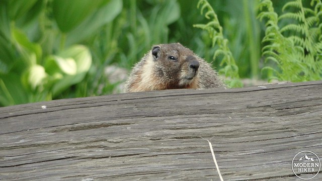
Marmot with an attitude
After enjoying the meadow, continue on down the trail, which will eventually emerge at the parking lot and near the trailhead. You have just enjoyed four sublime meadows, a forest full of sequoias, some of which are the largest in the world, and you’ve likely had the whole thing to yourself, provided you start early or later in the evening. While the Congress Trail and Big Trees Trails are great introductions to Giant Forest, the Trail of the Sequoias is the best way to really become acquainted with the nuances and nooks of the area, along with the numerous gems scattered throughout.
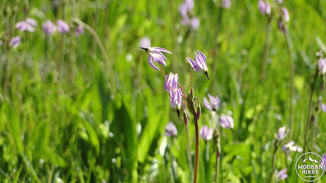
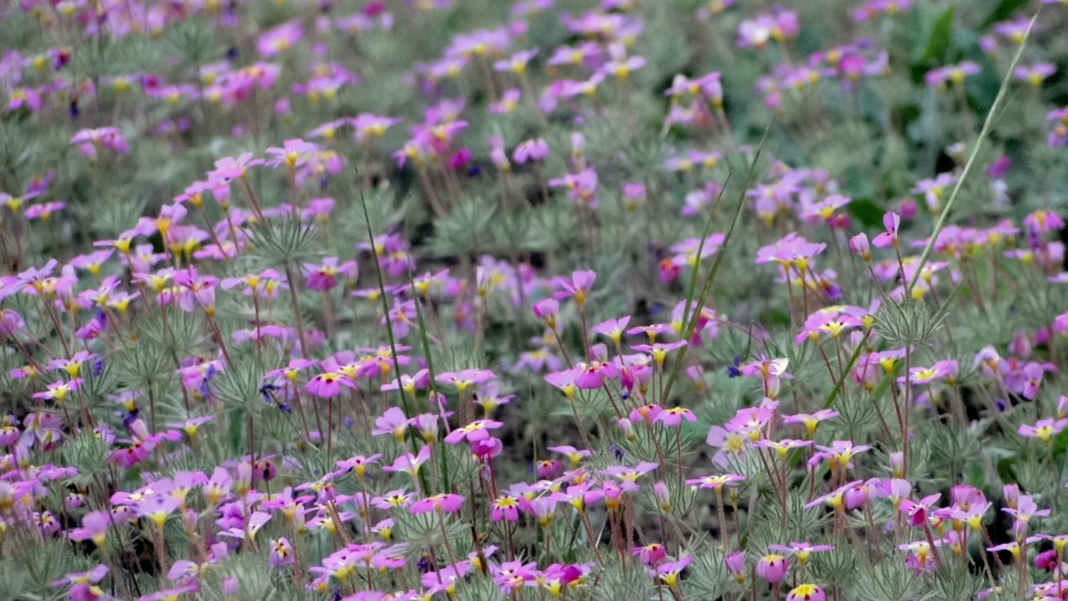
Mountain Shooting Stars
Tags: Chief Sequoyah, Circle Meadow, Congress Trail, Crescent Meadow, Huckleberry Meadow, Log Meadow, President Tree, Sequoia National Park, Sequoias, Squatters Cabin, Tharps Log, Trail of the Sequoias