With the 1926 expansion of Sequoia National Park to include the land between the Great Western Divide to the Sierra Crest, Superintendent John White proposed a grand route connecting Crescent Meadow to Whitney Portal. Once completed, the High Sierra Trail earned the distinction of the first and last trail of this magnitude built in the Southern Sierra by the park service. This massive and historic undertaking reflect White’s desire to keep the interior of the park closed to automobile traffic, thus ensuring that future generations could enjoy the Sequoia high country in its nearly original state. Today’s High Sierra Trail remains a spectacular signature route featuring the best of Sequoia National Park.
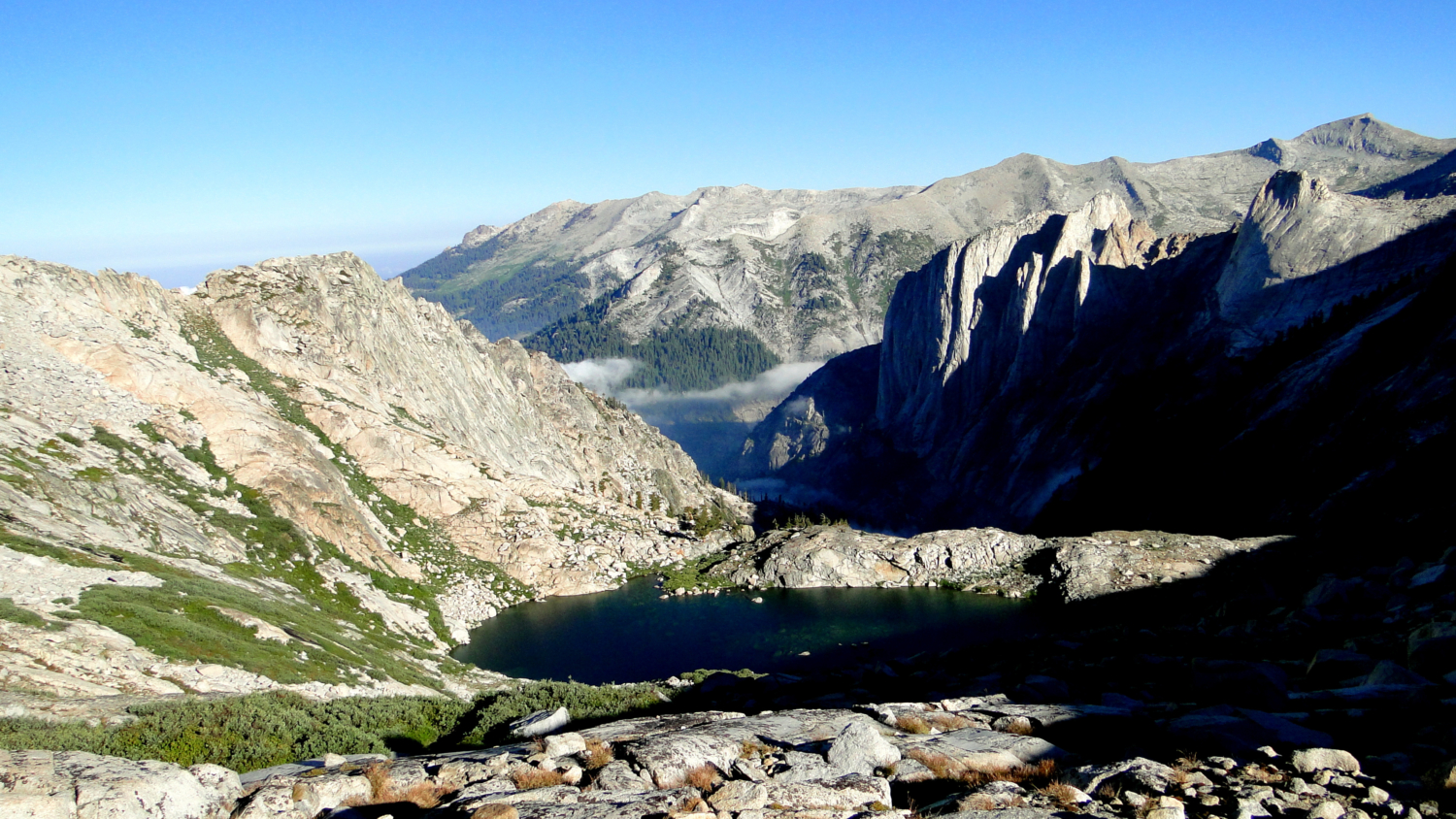
The view west from Precipice Lake
Incredible though the route may be, there are some significant challenges facing prospective HST hikers. If you have already reviewed the distance and elevation data, you may be thinking, “Okay, I’m going to walk across the Sierra Nevada on a 72 mile trip carrying seven days of food on my back. What am I going to do once I get to the other side?” Such is the central challenge of this route. Here are a few suggestions for solving the dilemma
Hike it there and back. This is all well and good if you have two weeks to kill and can arrange a re-supply in Lone Pine.
If your only option is to go point-to-point, but you don’t want to deal with cars, take a Greyhound bus to Visalia, then utilize the Sequoia shuttle up to Lodgepole. This solves the problem of getting to Sequoia, but not of how you will get back from Whitney Portal. From the Portal, you have two choices: You can take the Lancaster Route (Green) of the Eastern Sierra Transit Authority from Lone Pine to Lancaster, and then take Metrolink from Lancaster to Los Angeles and arrange travel from there. Conversely, you can take the Reno-Lone Pine shuttle to Lee Vining, from which point you can catch the YARTS shuttle to Merced or Fresno, from which point you can catch Greyhound or Amtrak to your next destination. OR, you can take the Reno-Lone Pine shuttle to Mammoth Lakes and fly home to your next destination.
If your head is spinning from that convoluted description, you may find that the best option is to find a willing friend who will drive up to Whitney Portal and give you a ride, possibly by sweetening the deal with future favors and other incentives. (This is how I did it).
You can also learn how to teleport. When you figure this out, let me know. I’d like to cut down on my gas expenses.

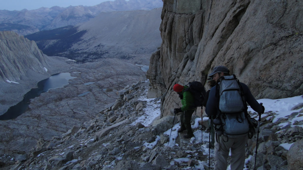
Trail Crest
Sequoia-Kings Canyon National Parks have recently revamped their permit system. Instead of the old “spend the day waiting for your fax to go through” system, the new 3-step process requires you to fill out the application and then email it to the park. After that, you receive a confirmation email indicating that you have the reservation. After that, you go to a government pay site to pay for the permit. Remember that the permit reservation is insufficient as a permit. You will still need to pick up your permit from the Lodgepole Ranger Station either on the day before your hike or the day of your hike. This handy webpage allows you to see what kind of availability remains at each of Sequoia-Kings Canyon’s trailheads.
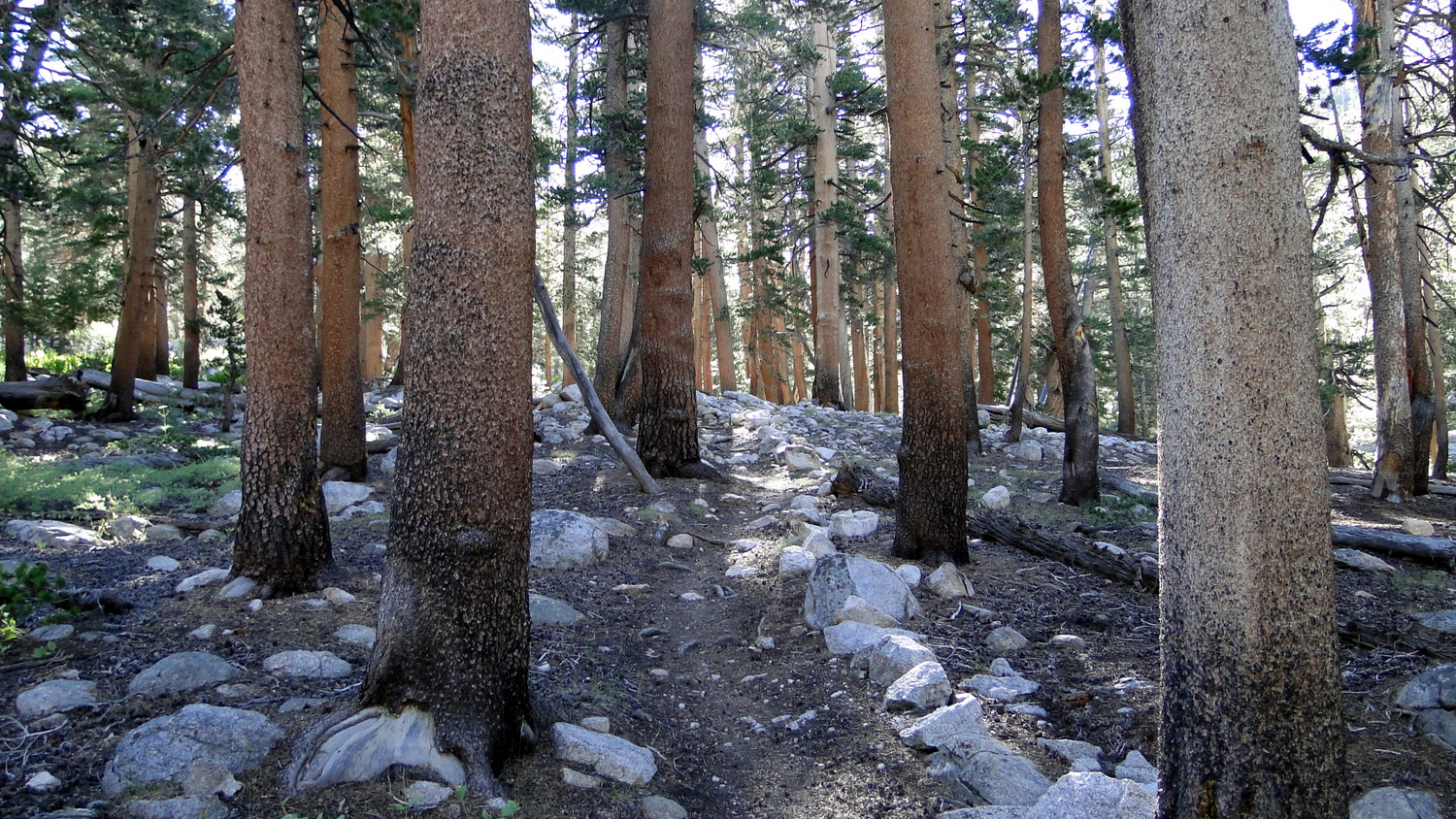
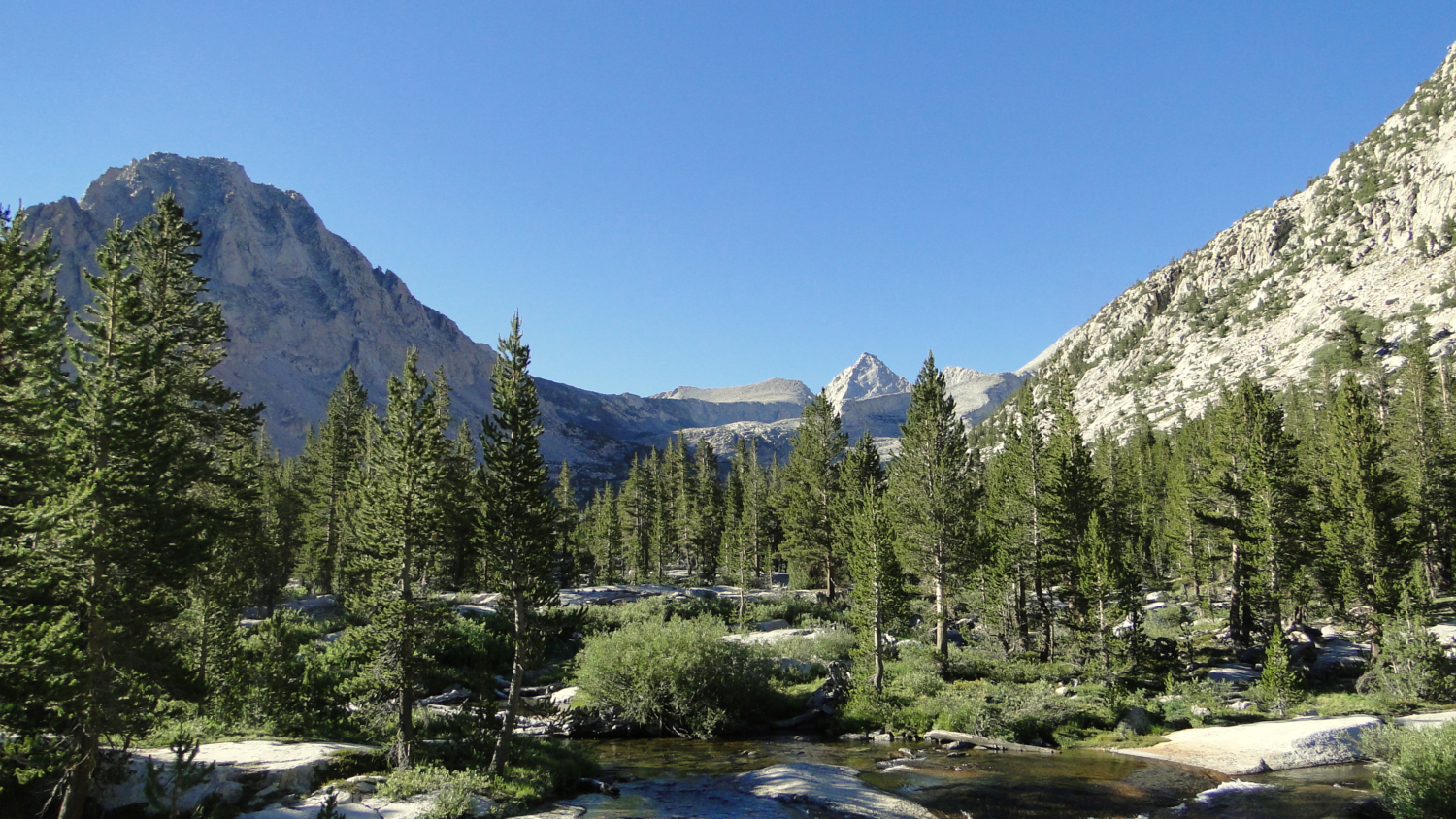
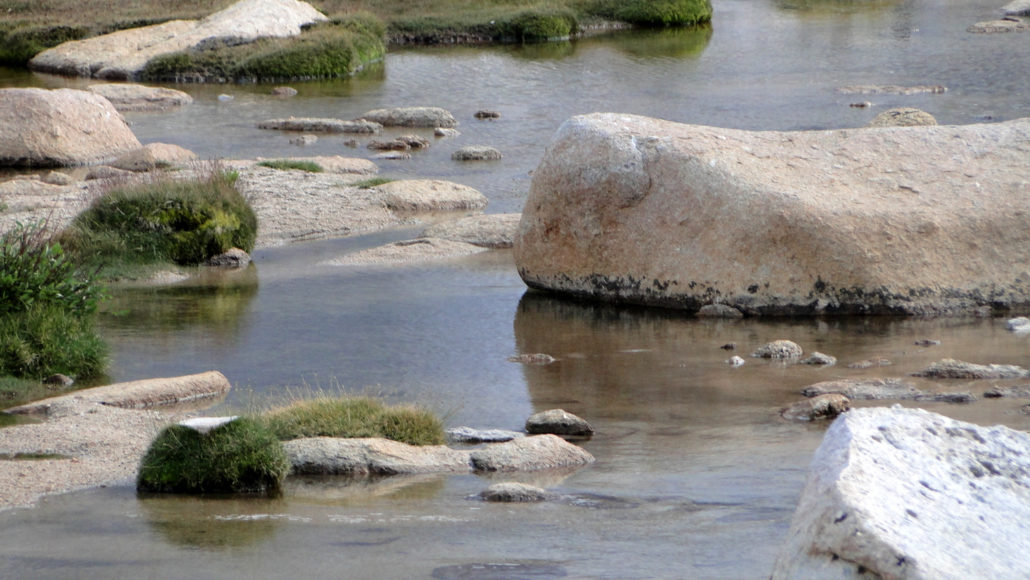
Beginning of the High Sierra Trail in Giant Forest
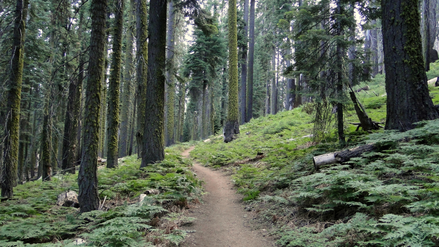
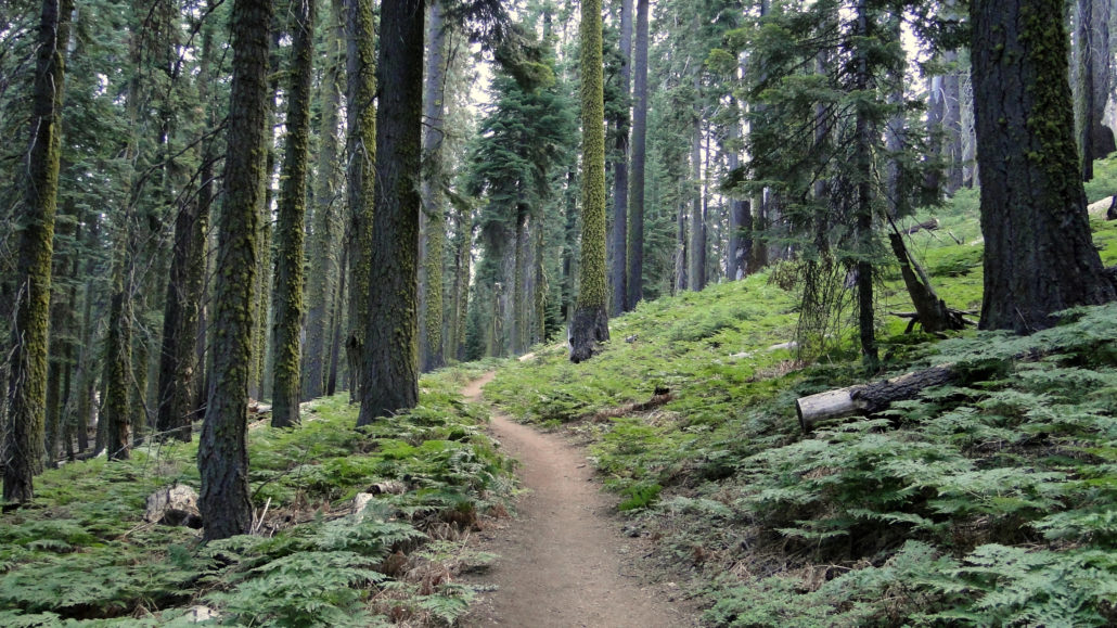
The opening segment of the High Sierra Trail is perhaps one of the most beautiful footpaths in the western half of Sequoia. Beginning at Crescent Meadow, follow the paved path briefly until the High Sierra Trail branches away on the right to travel through a dense forest of white firs sheltering a dense understory of ferns. After cresting the rim of the Giant Forest Plateau, the trail climbs gradually, sometimes undulating along the north rim of Middle Fork Kaweah River Canyon. As it does so, it winds in and out of various named creeks, including Panther, Mehrten, and Buck, as well as unnamed tributaries. As you progress west to north, you will sample an ever-changing mixture of montane environments that transition according to slope aspect. Views across the canyon toward the high peaks of the Great Western Divide and Paradise Ridge hold attention throughout.
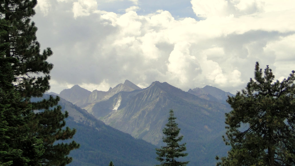
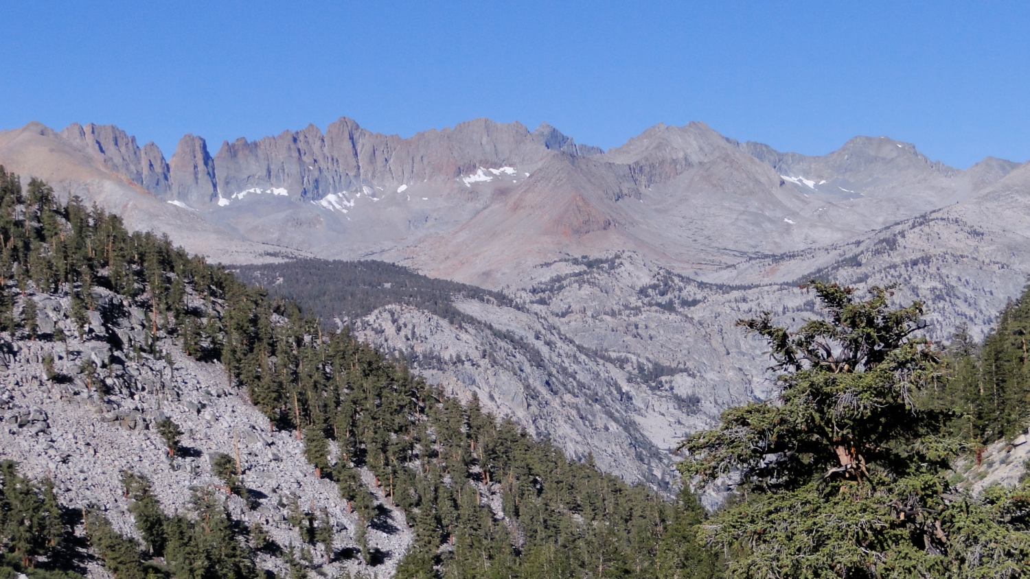
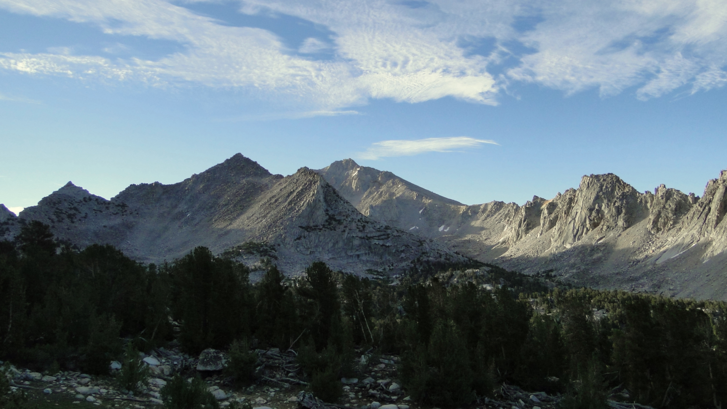
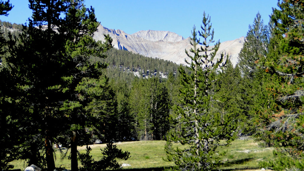
Empire Mountain and Sawtooth Peak
Although you can camp at Mehrten Creek and Buck Creek, your best bet for your first night is Bearpaw Meadow. Aside from being a gorgeous location, Bearpaw has a large collection of camping options, including the historic High Sierra Camp. Open from mid-June to mid-September, the camp features 6 tent cabins, bedding, showers, and home-cooked meals.
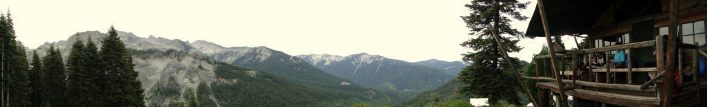
Bearpaw Meadow High Sierra Camp
You can begin making reservations for the High Sierra Camp on the morning of January 2nd at 7:00 am. To make your reservation, you will need to call 866-807-3598 and be prepared to pay at time of booking (warning: it is not cheap). The good news is that, although you will need a wilderness permit from the park, the cost and the acquisition of the permit is included with booking your stay. There are no limits to how many nights you can stay, but the daily price for staying here will probably set the limit for you.
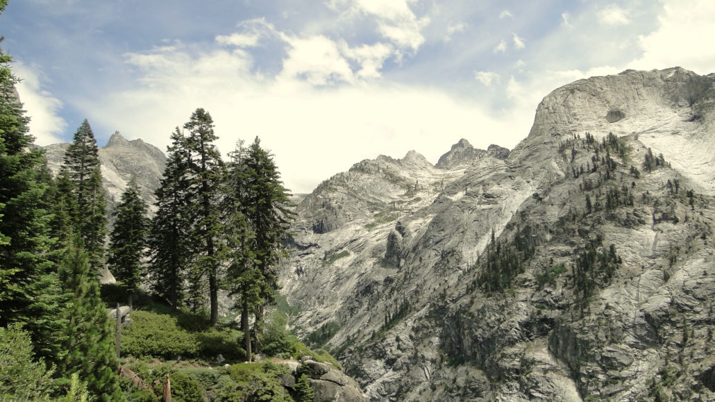
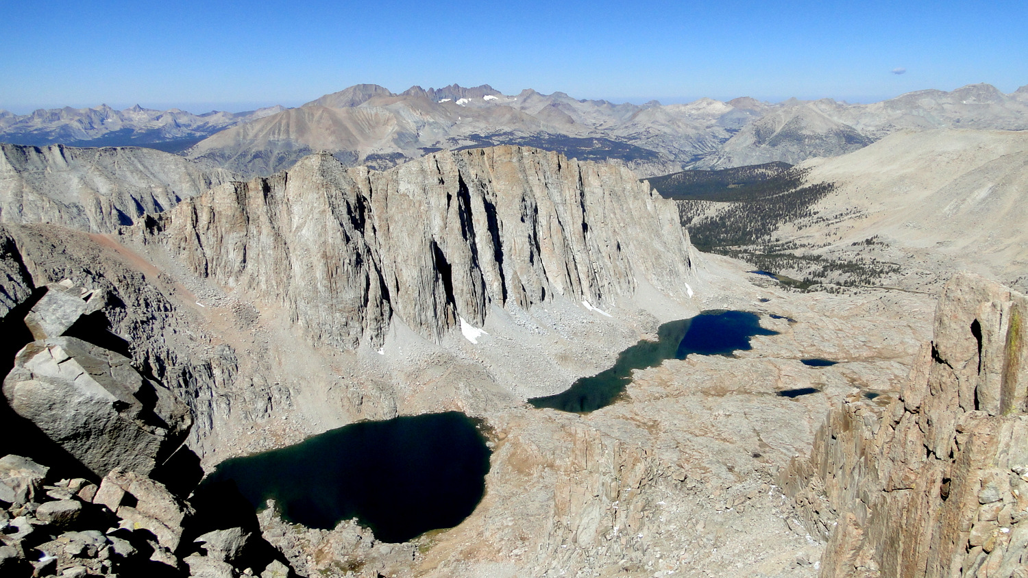
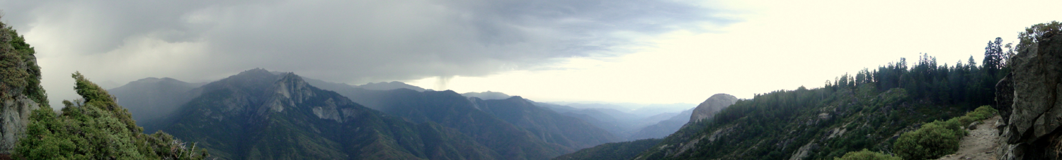
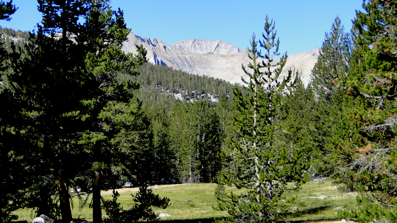
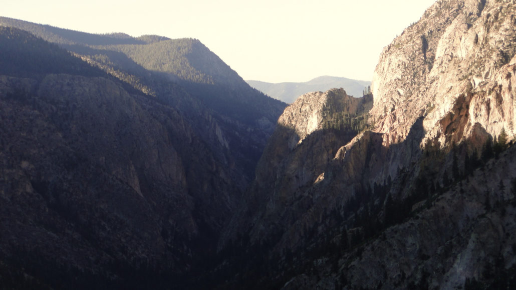
Great Western Divide beyond Lone Pine Creek Canyon
Beyond Bearpaw Meadow you begin the steady climb toward Kaweah Gap. The trail clings to the edge of a steep declivity that plunges toward the nascent Middle Fork Kings River. As the trail arcs toward Lone Pine Creek’s canyon, you can begin to pick out the details of this massive natural barrier that had previously appeared to blend indistinctly into a massive wall of granite. Lone Pine Creek Canyon drains a considerable portion of the Tablelands and the Elizabeth Pass area. During heavy snowfall years, copious amounts of water can flow through this narrow, rocky canyon. As you pass over the canyon, look down to see the remnands of an old bridge that washed out years ago. The current bridge remains high above the canyon and safely out of reach of potential flash floods.
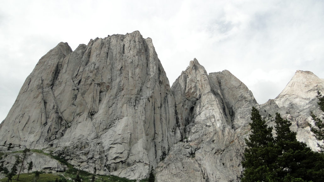
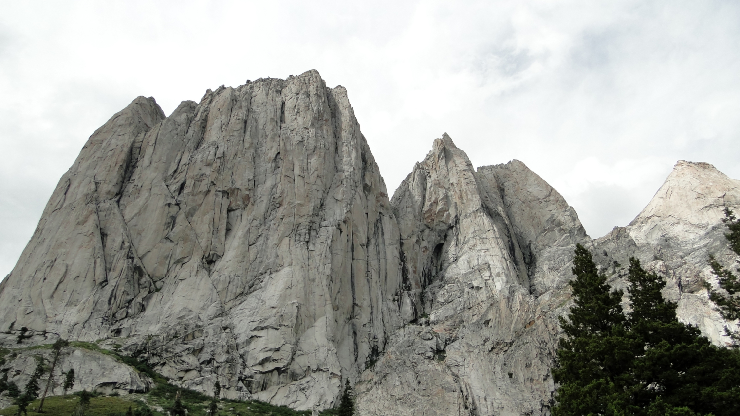
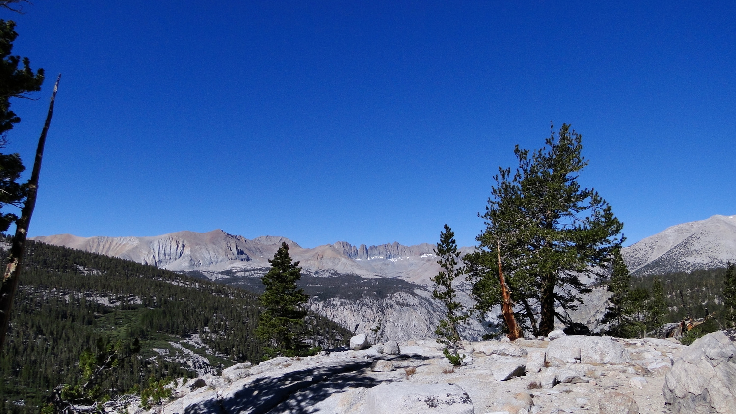
Valhalla
Continuing past Lone Pine Creek, the High Sierra Trail climbs obliquely along the northern wall of Hamilton Creek’s dramatic canyon. High above to the left, you will see a towering granite formation known variously as Valhalla (the officially recognized name) or Angels Wings. After crossing Hamilton Creek just above a waterfall, you will continue beyond marshy, lower Hamilton Lake before reaching the larger lake set within a stunning glacial basin. Pinnacles and minarets, all a testament to the power of glacial scouring, stand thousands of feet above the sparkling lake.

Hamilton Lake
Hamilton Creek spills over the basin’s eastern wall, draining two more high altitude lakes before depositing its contents into the large, sparkling oval-shaped lake. There are a few cautions you will want to heed if you camp here. First, the park puts a limit on the length of your stay here of one night due to the popularity of this area for backpackers and rock climbers. Keep in mind that the local deer herd is salt deficient, and they go to great lengths to supplement their diet by seeking out additional sources of sodium. By the time you reach Hamilton Lake, there is a good chance that you will have leached a good amount of sodium into your clothing and gear by sweating. Expect deer to try to eat your clothing and gear if you do not stow it safely either inside your tent or inside a nearby bear locker.
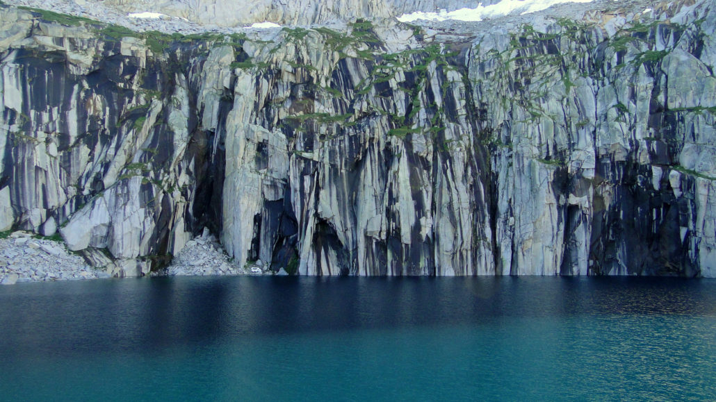
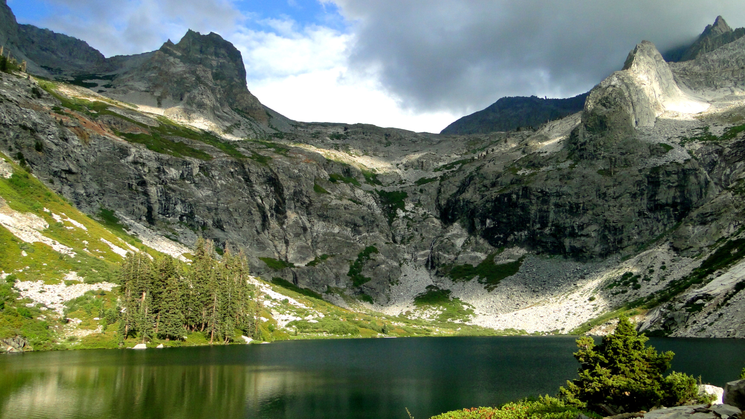
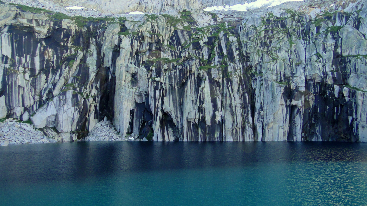
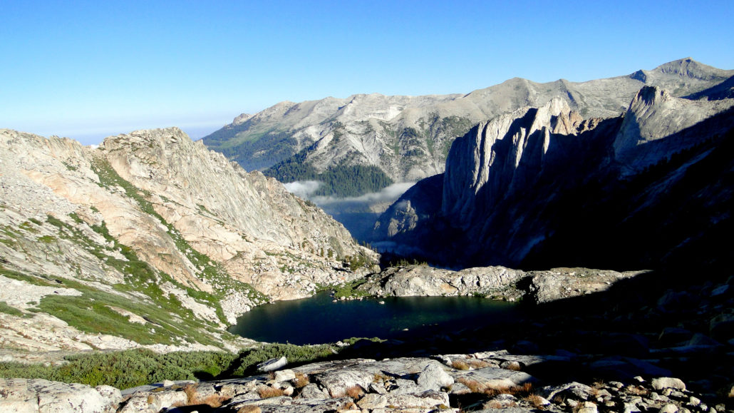
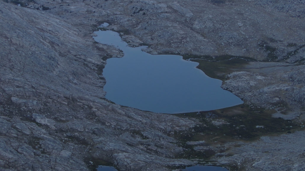
Precipice Lake
From Hamilton Lake, the route continues east toward Kaweah Gap by way of the northern wall of Hamilton Lake’s basin. After switchbacking nearly 1,000’ vertical feet, the High Sierra Trail passes through a gouged-out semi-tunnel created to avoid the damaging effects of avalanches. After you wrap around the canyon, continue the oblique climb up to a moraine impounding a small lake.Beyond that small lake, the trail tops out at a second moraine that impounds one of the most memorable and beautiful lakes in the park: Precipice Lake. Situated below Eagle Scout Peak, a diminishing ice sheet feeds the lake by sending numerous rivulets down the sheer cliff on the lake’s southern edge. The rivulets leave black streaks while also nurturing pockets of cliff-side vegetation. The impossibly blue, clear waters shimmer in the high altitude sun, inviting hearty souls to take an icy dip.
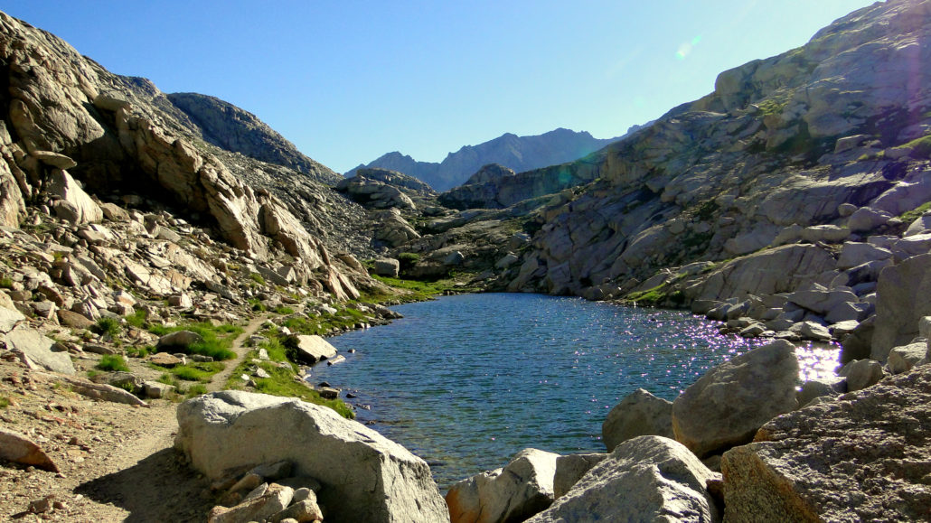
Tarn just below Kaweah Gap
Beyond Precipice Lake, the High Sierra Trail next takes you through the alpine wonderland of Kaweah Gap. The trail threads through several small tarns containing impossibly clear water, tufts of lush grasses and alpine wildflowers, and nascent Hamilton Creek, which also doubles as the headwaters for the Middle Fork Kaweah River. As far as passes go, Kaweah Gap is relatively lower in elevation (10,709’) compared to nearby Black Rock Pass and Elizabeth Pass. Since you will probably cross over either on your third or fourth days, you will have had abundant time to acclimate to the higher elevations you will experience from this point.

Just east of Kaweah Gap looking into Big Arroyo
Beyond the Gap, the High Sierra Trail switchbacks down the rocky backside of the Great Western Divide as it enters into the vast Kern River watershed. One of the major tributaries, Big Arroyo, springs to life from the alpine tarns of the Nine Lakes Basin lying in the shadow of the Kaweah Peaks Ridge. Each of these nine lakes are accessible via rugged cross-country travel that requires extensive route-finding. The lower lake is easy enough to find as it lies a few hundred yards northeast from Kaweah Gap, but if you want to see the other eight, come armed with a topographic map, a compass, and the knowledge of how to use them.

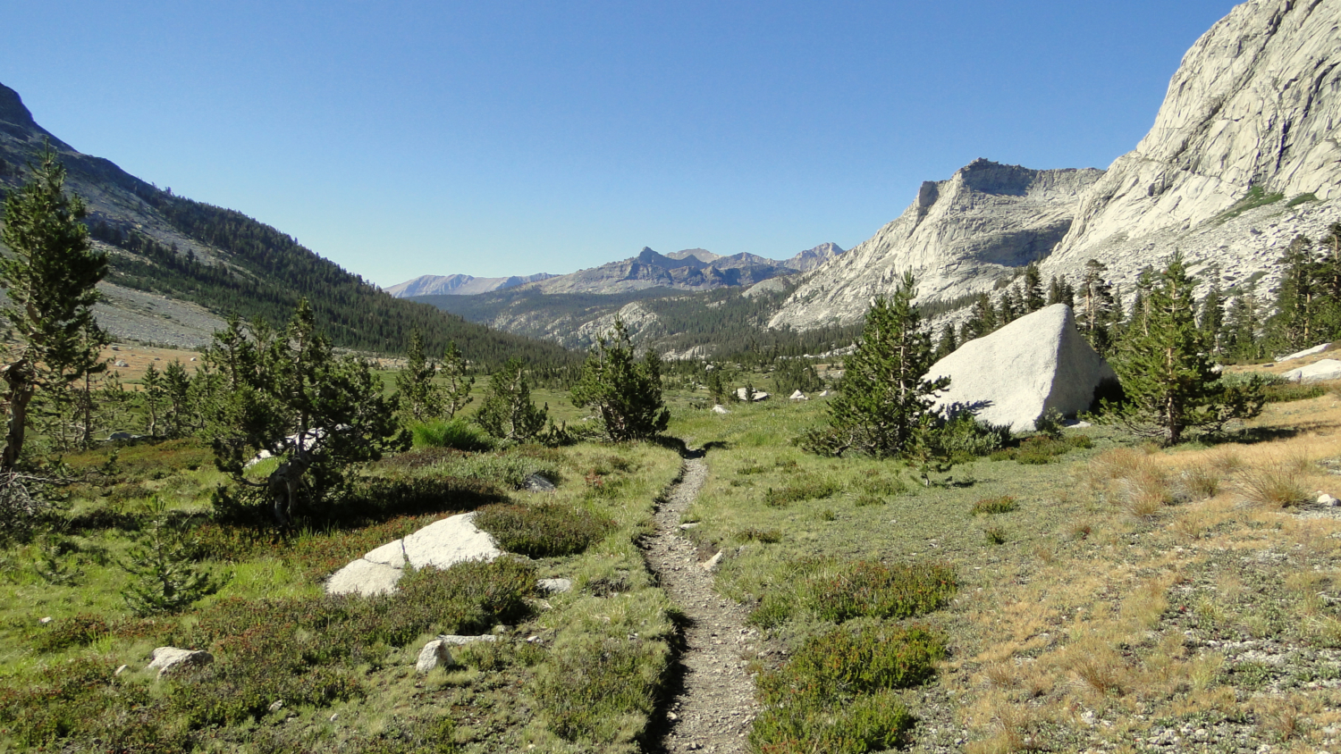
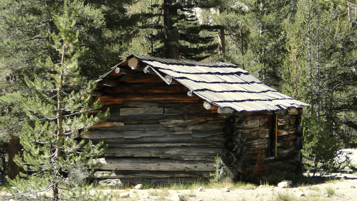
Big Arroyo Patrol Cabin
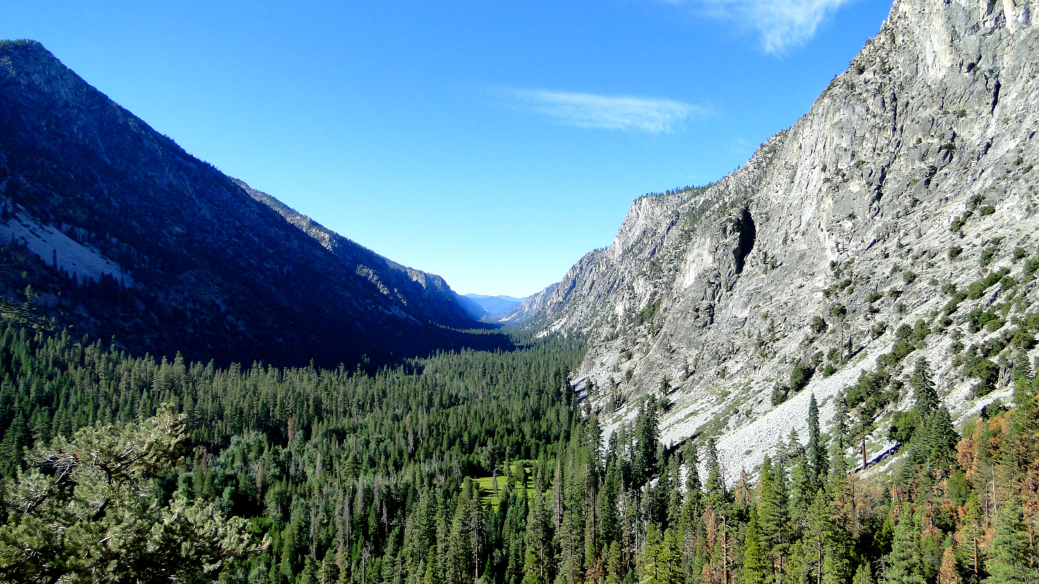
As the High Sierra Trail sidles up to Big Arroyo, you begin a long, gradual descent along the center of a beautiful U-shaped valley that provides excellent examples of glacial erosion. During the last few ice ages, a massive glacier plowed through, carving out Big Arroyo’s valley between the ramparts of the Great Western Divide and the equally formidable Kaweah Peaks Ridge. You will cross Big Arroyo just after the first stunted woodlands of whitebark and lodgepole pine begin to signal a return to the subalpine zone. Not long after, the trail enters a much drier forest of lodgepole and scattered foxtail pines before arriving at a junction leading to Little Five Lakes and Black Rock Pass just north of the Old Big Arroyo Patrol Cabin.

The composition and dryness of the forest are both a consequence of rain shadowing caused by the Great Western Divide. This geographic barrier stalls incoming Pacific storms, causing them to drop a large percentage of their moisture west of the divide. Once beyond the divide, relatively little moisture remains to nourish plant life, and the lush forests and rich understories you had become accustomed to since Crescent Meadow give way to drier, sunnier forests.
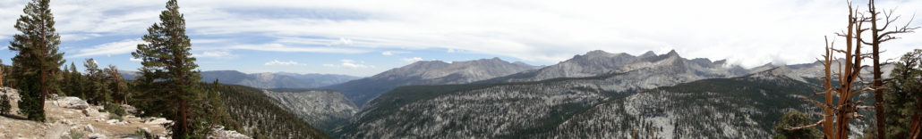
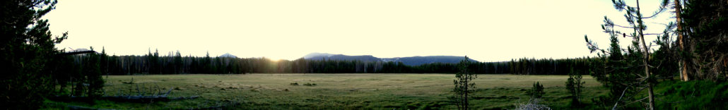
Panorama above Big Arroyo
As you break away from the seductive rumble of Big Arroyo, gravity ceases to reward you as you now face a long, dry climb along the north wall of Big Arroyo’s valley up onto the forested highlands of the Chagoopa Plateau. This climb comes close to qualifying as “tedious” thanks to a mostly dry, monotonous ascent. Thankfully, views of the eastern side of the Great Western Divide reward your progress until you cross over to the plateau. Once upon the Chagoopa Plateau, only occasional streams and meadows break up the monotony of the vast lodgepole-foxtail pine forest blanketing. The promise of Moraine Lake lying along the southern branch of a split in the High Sierra Trail provides enough reason to keep on tromping, but you might experience feelings of impatience as you make the long eastward traverse.
Looking across Moraine Lake toward the Kaweah Peaks
Soon enough, the High Sierra Trail passes just north of Moraine Lake. Should you camp here, noting of course that this is your best camping option for quite a while, be sure to take an evening stroll around the banks of the lake. Since the forest cover along the plateau mostly occludes the views north toward the Kaweah Peaks Ridge, the un-obscured views from the lake’s south banks offer some unique vistas north and northwest toward Mt. Kaweah and Red Kaweah.
Sky Parlor Meadow
As you break away from Moraine Lake, you turn due east for a stretch that takes you south of a trio of picturesque meadows. Sky Parlor is one of the larger meadows you will encounter in the park, and it features more vistas toward the Kaweah Peaks. Be alert for navigational obstacles, particularly if you get a pre-dawn start as you leave the lake. A fire rolled through the plateau some time ago, leaving the dense lodgepole pine forest a bit of a mess. A few side paths lead down to the meadows, making it possible to veer off of the High Sierra Trail and wander into a claustrophobic jumble of recovering lodgepoles. The best way to avoid the possibly frustrating dead-ends is to hug the base of the rocky slope on your right (south), which the trail follows to avoid passing through sensitive meadow habitats. By the time you pass Sky Parlor Meadow, you will bend to the north and leave behind the only section of the route that might require some route-finding.
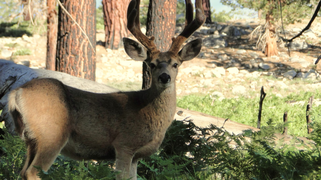
Mule Deer
After crossing Funston Creek, the High Sierra Trail commences a long descent from the Chagoopa Plateau into the depths of Kern Canyon. The trail takes a long, arching switchback through recovering forest as it transitions from dense lodgepole into open Jeffery pine forest as you lose elevation. The trail returns to Funston Creek by way of a narrow tributary canyon, which you will follow down to the bottom of Kern Canyon just north of Upper Funston Meadow.

Descending into Kern Canyon
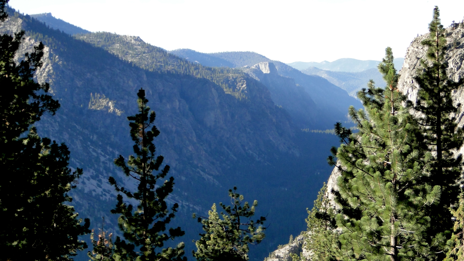
Watch for rattlesnakes throughout this dry, rocky tributary canyon. If you remain mindful of your footing and some of the rocky ledges along the trail, you should be able to spot them in advance. They seem particularly present during the mid-morning warm-up leading into the afternoon’s heat. Rattlers aside, be sure to stop frequently to enjoy the view down the linear, U-shaped confines of Kern Canyon as it runs south into the Golden Trout Wilderness.
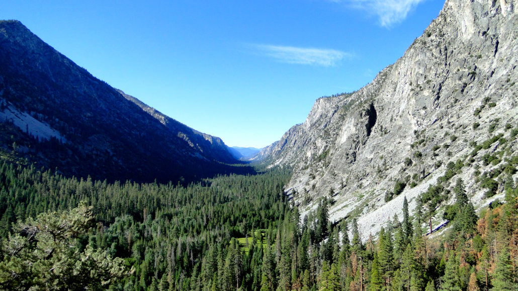
Kern Canyon
When the trail bottoms out, you have the option of turning south to camp at Upper Funston Meadow, which features bear lockers, campsites, and armadas of mosquitos. Even though it is a perfectly lovely place, it is hard to imagine anybody choosing the meadow over the next possible camping area at Kern Hot Springs, which will bring a glorious measure of relief to your aches and pains.

Kern Hot Springs
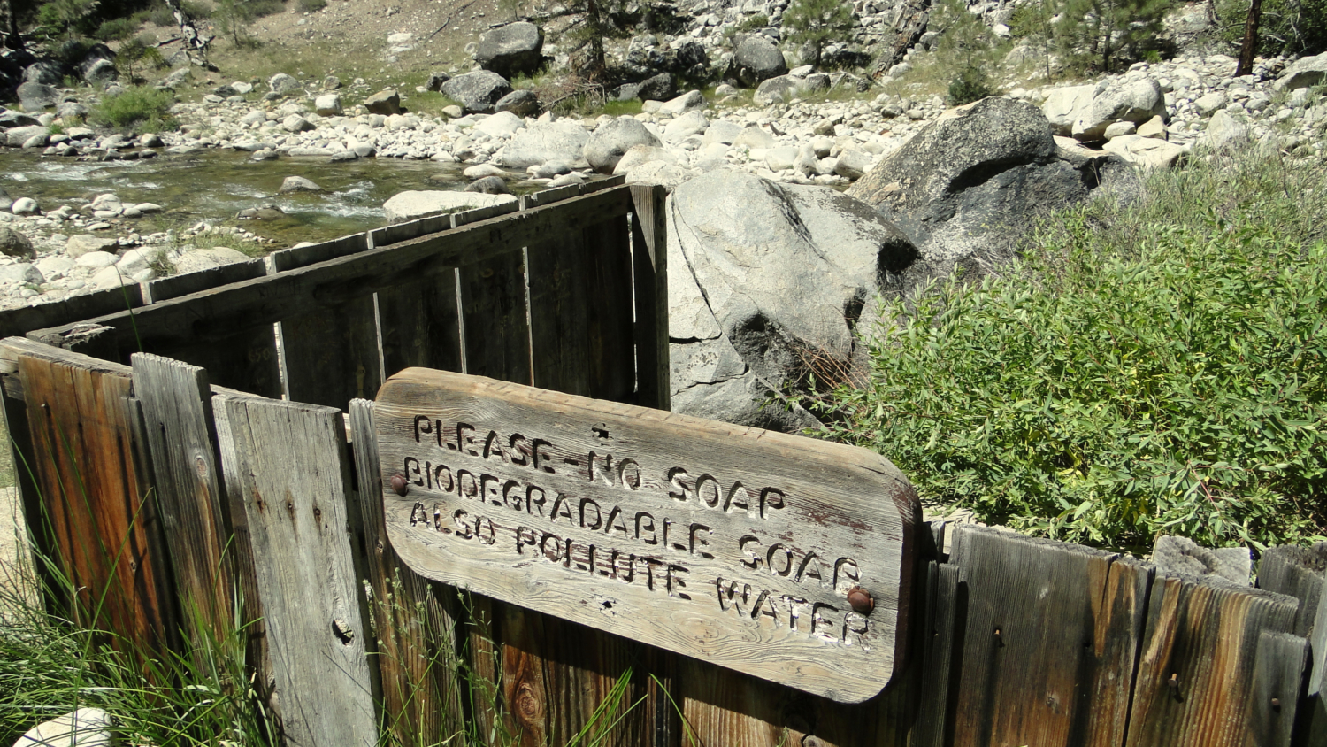
Kern Hot Springs lies upstream from the junction with the southbound Kern River Trail, and you will soon reach it after crossing the Kern via an old, wooden bridge and passing by the lacy, cascading falls of Chagoopa Creek on the west side of the canyon. The hot springs emanate from several openings on a grassy slope just above the river, and a concrete basin about the size of a bathtub catches the hot water. Enjoy the blissful soak to your heart’s content, but be sure to wash off any bug repellant, sunscreen, and as much of your own filth so that you do not ruin the experience for others. If you find the hot spring too hot, consider following this pattern and repeating until you are fully satisfied: leave the hot tub, enter a small riverside pool where hot water and cold Kern River water mix to form a lukewarm bath, and then enter the Kern itself to cool everything down. Bliss.
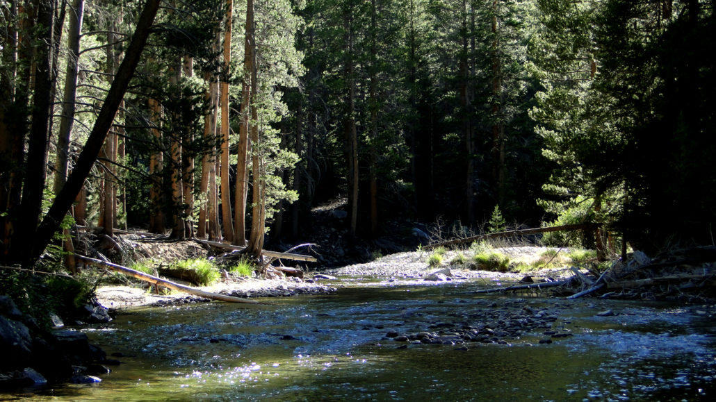
Kern River
Beyond the springs, progress up-canyon, due north along the eastern bank of the Kern through dry, sunny forests of Lodgepole pines and occasional Western junipers. You will cross a number of named and unnamed tributary creeks, Whitney and Wallace included in the former, that will give you regular, albeit spread-out opportunities to tank up your water supplies. Drink liberally as you go since mid-summer temperatures in the Kern River Canyon can become uncomfortable. The beauty of the canyon compensates the long approach to your next camping area with a handful of waterfalls and soaring granitic walls rising high up toward subalpine terrain.
The next established camping area arrives at Junction Meadow, so-called because the High Sierra Trail meets the Colby Pass Trail near where the Kern-Kaweah River feeds into the Kern River. Several good camping areas surround a bear locker. Since the next segment of the High Sierra Trail commences a steep climb through Wallace Creek’s canyon before reaching the high steppes west of the Sierra Crest, this is a good option for calling it a day.

With several days of hiking in the books, your body should now be prepared to handle the combination of high altitude and arduous climbing you will face over the next two days as you ascend through Wallace Creek’s canyon and then make your way up Mt. Whitney’s steep western slope. The habitats grow drier and drier as you extend deeper into the Great Western Divide’s rain shadow, and once you reach the Pacific Crest Trail/John Muir Trail, you will not dip below 10,000 feet of elevation again until just past Lone Pine Lake on your way down to Whitney Portal.
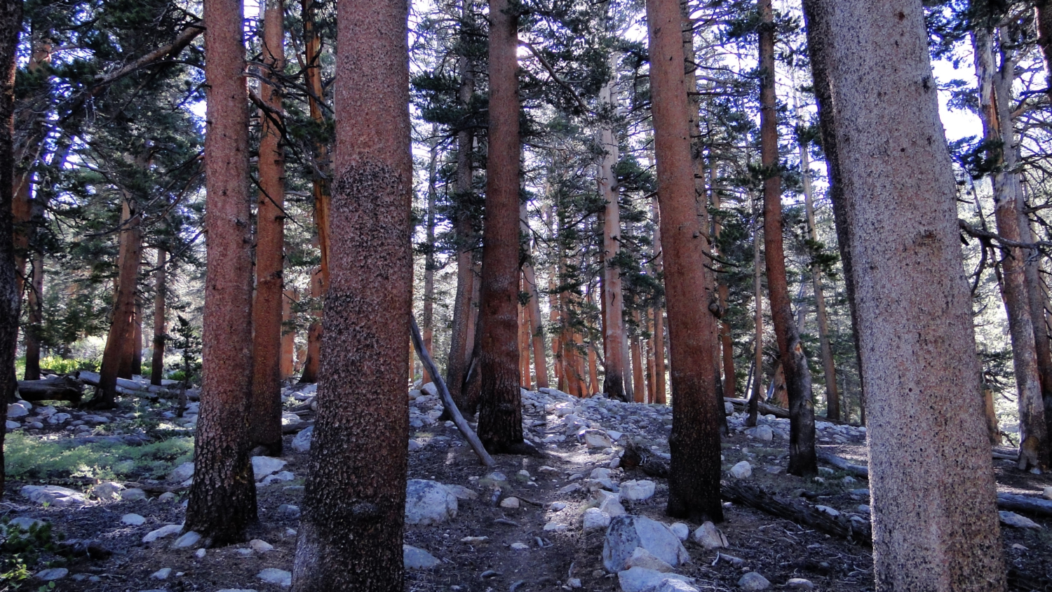
The climb through Wallace Creek’s Canyon highlights another subtle shift in the vegetation scheme. Long gone are the dense forests of the Great Western Divide and even the sunnier Jeffrey pine forests of the western wall of Kern Canyon. Solitary Western junipers, an exceptionally beautiful and fragrant tree, mingle with mountain mahogany and a smattering of foxtail and lodgepole pines as you climb from the upper-montane biotic zone surrounding Junction Meadow up to the arid, alpine high country of the Pacific Crest Trail and the Sierra Crest. You will make a major creek crossing at Wright Creek, which may prove difficult during early season snow-melt. Not long after, the canyon levels out near the junction with the combined John Muir Trail/Pacific Crest Trail. From here, you head south as you merge into the considerable traffic of combined JMT and PCT through-hikers. Do not expect a lot of solitude from this point on as you approach the apex of the Sierra Nevada Mountain range.

As you travel south, you will climb out of Wallace Creek’s canyon to pass over gradually swelling terrain blanketed by dry lodgepole and foxtail pine forest. Just after the PCT/JMT skirts the eastern fingers of Sandy Meadow, you will reach the first of three possible left turns taking you east through Crabtree Meadow and toward the Crabtree Ranger Station. A ranger is usually on hand here to check your permit for your approach to Mt. Whitney or to provide assistance depending on what the occasion merits.
Guitar Lake
From Crabtree, you will approach the treeline again and return to the familiar, soaring alpine habitats characterized by trickling creeks, grassy tussocks peppered with wildflowers, soggy meadows, and occasional tarns. You pass minute Timberline Lake before fully leaving the trees on your approach to the virtual tent city along the banks of Guitar Lake that temporarily hosts the cumulative traffic of the JMT, PCT, and High Sierra Trail as they approach either the ends or the apex of their journey. If you are looking for a slightly less crowded camping area a bit further along the ascent to Mt. Whitney, you may find a few spots around the tarns just east of Guitar Lake. Crowded though Guitar Lake is though, I have to give it credit for its stunning sunsets and beautifully blue waters. That said, the lake is even more impressive when viewed from above.
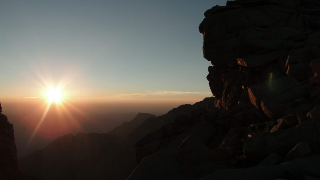
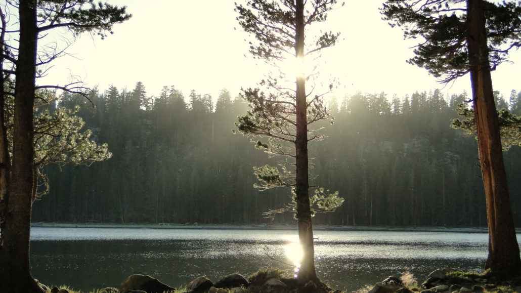
Sunrise from Trail Crest
You will face the grand finale of Mt. Whitney when you wake up, preferably before dawn. Pack your gear away, and begin the long, arduous ascent to Trail Crest and Mt. Whitney. The combined High Sierra Trail/John Muir Trail commences a string of switchbacks that climb the western slope of the Sierra Crest. My recommendation, and I cannot recommend it highly enough, is that you get up well before dawn (think 2 to 3 am) and begin the climb in the dark.
The Mt. Whitney Trail
Not only will you bask in the glory of clear, starry skies unperturbed by air pollution and the denser atmosphere of the lower elevations, but you may be able to cut north at the John Muir Trail junction (stow your packs and use a day pack for the rest of the way) and catch glimpses of the sun rising over the Inyo Mountains from the gaps between the Keeler Needles. If you are even more determined, you might even get up earlier and attempt to watch the sunrise of Mt. Whitney’s summit – a once in a lifetime experience.
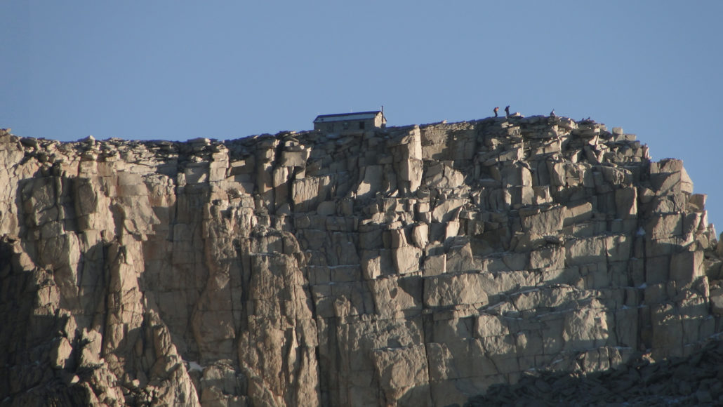
Mt. Whitney’s summit
However you wish to enjoy your time on the summit, bear in mind that you still have a very long way to go on the day. Not only will you need to backtrack to the John Muir Trail junction, you will need to make the brief climb up and over Trail Crest (itself 13,400’) before dropping down the fabled 97 Switchbacks to Trail Camp. You will want to make your return journey before the afternoon’s heat gives birth to convective currents that spawn the Sierra’s legendary afternoon thunderstorms. Plan on leaving the summit by noon in order to get to cover before the storms pick up in earnest, usually around 3 or 4 in the afternoon.
Consultation Lake from a ridge near Trail Camp
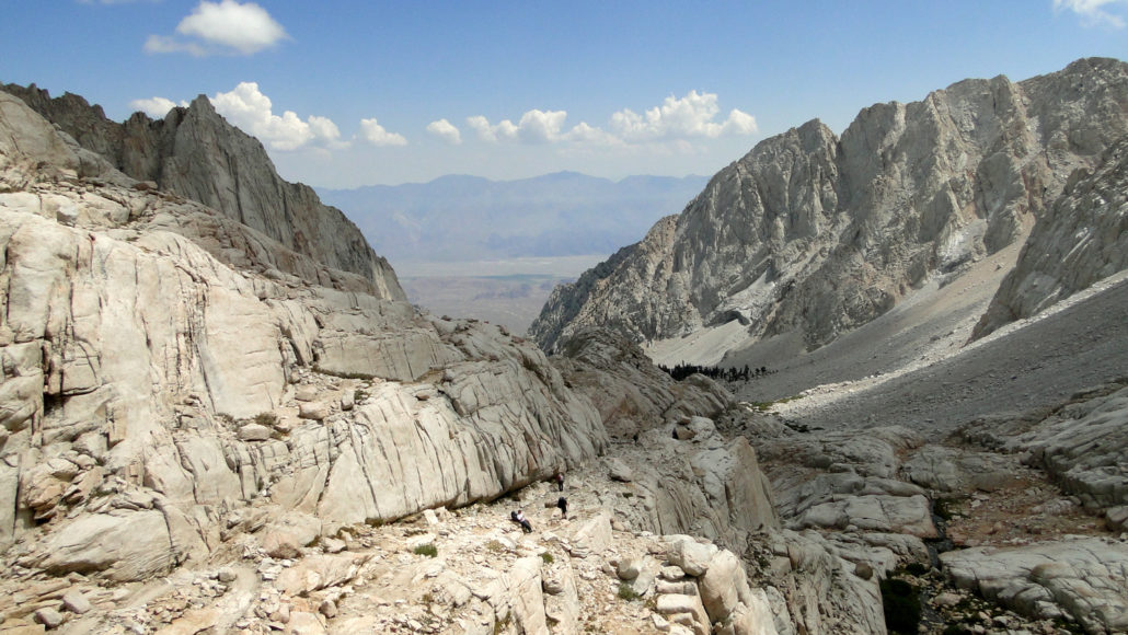
As you continue beyond Trail Camp, itself a tent city to rival Guitar Lake, keep your eyes peeled for a hard-to-spot junction bending off to the right and leading to Consultation Lake. This austere but beautiful lake provides a nice side trip if you have the time, and it also offers a more secluded alternative to Trail Camp. Beyond Consultation Lake, you continue to trace the course of Lone Pine Creek as you descend toward Mirror Lake. You cannot camp at Mirror Lake to protect its recovering environment, and your next camping opportunity arrives at Outpost Camp and later at Lone Pine Lake. Beyond Lone Pine Lake, you drop into Whitney Portal via a long, switcbacking descent that I guarantee will feel three times as long as it really is.
I have no doubt that by the time you reach Mt. Whitney, the only thing you will want is a hot shower, copious amounts of calories, and either a warm bed or a ride home. Tempting though all of these things will be after six or seven days on the trail, I encourage you to consider breaking up the descent from Mt. Whitney to the portal by staying at any one of four camping options (Trail Camp, Consultation Lake, Outpost Camp, and Lone Pine Lake). Remember that you lose 6,500’ of the space of 11 miles as you descend, and the unrelenting pounding will take a toll on your knees, muscles, and feet. Many people I know, myself included, have sustained injuries from attempting to plow through this last stretch, and giving yourself one last night will allow you to avoid injuries.
Route Points:
0 Mile: Depart from Crescent Meadow, heading east on the High Sierra Trail
0.5 Mile: Stay right at the Trail of the Sequoias
2.7 Miles: Stay straight at Wolverton Cut-off Trail junction
5.7 Miles: Mehrten Creek campsites
5.8 Miles: Stay straight at Seven Mile Trail junction
9.8 Miles: Buck Creek campsites
11.1 Miles: Bearpaw Meadow High Sierra Camp and campsites
12.9 Miles: Cross Lone Pine Creek and stay right at Elizabeth Pass Trail junction
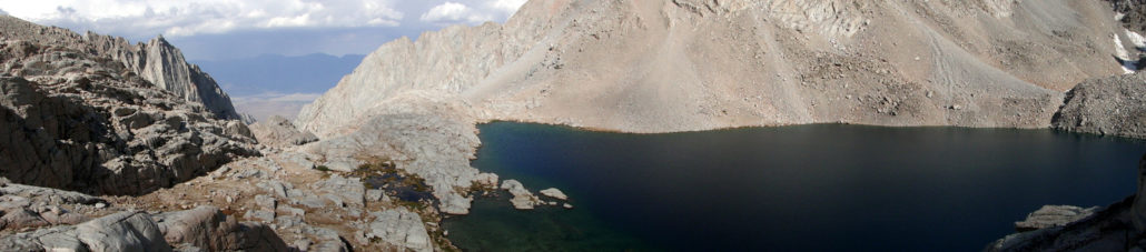
15.4 Miles: Hamilton Lake
18.8 Miles: Precipice Lake
19.8 Miles: Kaweah Gap
22.1 Miles: Big Arroyo Patrol Cabin and campsites, junction with Big Arroyo Trail to Little Five Lakes. Keep left toward Moraine Lake
27.9 Miles: Split in the High Sierra Trail. Keep right toward Moraine Lake
30.4 Miles: Moraine Lake
33.4 Miles: Split in the High Sierra Trail re-merges beyond Funston Creek
35.9 Miles: Junction with Kern River Trail, turn left toward Kern Hot Springs, right for Upper Funston Meadow
37.7 Miles: Kern Hot Springs and Rock Creek crossing
45.3 Miles: Junction Meadow; turn right to remain on High Sierra Trail as you climb through Wallace Creek’s Canyon
49.8 Miles: Junction with Pacific Crest Trail/John Muir Trail; turn right to head south.
52.5 Miles: Turn left toward Crabtree Ranger Station
54 Miles: Crabtree Ranger Station
55.6 Miles: Timberline Lake
56.8 Miles: Guitar Lake
59.8 Miles: Junction with John Muir Trail and Mt. Whitney Trail; turn left for summit
61.7 Miles: Mt. Whitney
63.7 Miles: Junction with John Muir Trail and Mt. Whitney Trail; turn left for Whitney Portal
66.3 Miles: Trail Camp
66.6 Miles: Junction for Consultation Lake; turn right if you are planning on visiting the lake
68 Miles: Mirror Lake
68.5 Miles: Outpost Camp
69.3 Miles: Junction with spur trail to Lone Pine Lake
71.2 Miles: Junction with North Fork Lone Pine Creek trail (Mountaineer’s Route)
72.1 Miles: Whitney Portal and end of route
Campsites:
Mehrten Creek (5.7 Miles):
Buck Creek (9.8 Miles):
Bearpaw Meadow High Sierra Camp (11.1 Miles):
Bearpaw Meadow (11.2 Miles):
Hamilton Lake (15.4 Miles):
Precipice Lake (18.8 Miles):
Big Arroyo (23.2 Miles):
Moraine Lake (30.4 Miles):
Upper Funston Meadow (35.9 Miles):
Kern Hot Springs (37.7 Miles):
Junction Meadow (45.3 Miles):
Wallace Creek (49.8 Miles):
Crabtree Meadow (54 Miles):
Guitar Lake (56.8 Miles):
Trail Camp (66.3 Miles):
Consultation Lake (66.6 Miles):
Outpost Camp (68.5 Miles):
Lone Pine Lake (69.3 Miles):
Tags: 9 Lakes Basins, Bearpaw Meadow, Big Arroyo, Buck Creek, Chagoopa Plateau, Crabtree Meadow, Crescent Meadow, Eagle View, Funston Meadow, Giant Forest, Guitar Lake, Hamilton Creek, Hamilton Lake, High Sierra Camp, High Sierra Trail, John Muir Trail, Junction Meadow, Kaweah Gap, Kern Canyon, Kern Hot Springs, kern river, Lone Pine Creek, Lone Pine Lake, Mehrten Creek, Middle Fork Kaweah River, moraine lake, Mt. Whitney, Outpost camp, Pacific Crest Trail, Panther Creek, Precipice Lake, Sequoia National Park, Sierra Crest, Sky Parlor Meadow, Trail Camp, Trail Crest, wallace creek, Whitney Portal, Wright Creek