If you spend enough time in Southern California (or really, anywhere in California), you’re going to start to hear some Earthquake Stories. For the most part, though, unless you know where to look, it can be tough to see. Not so, though, if you travel to the north side of the San Gabriel Mountains to the Devil’s Punchbowl Natural Area.
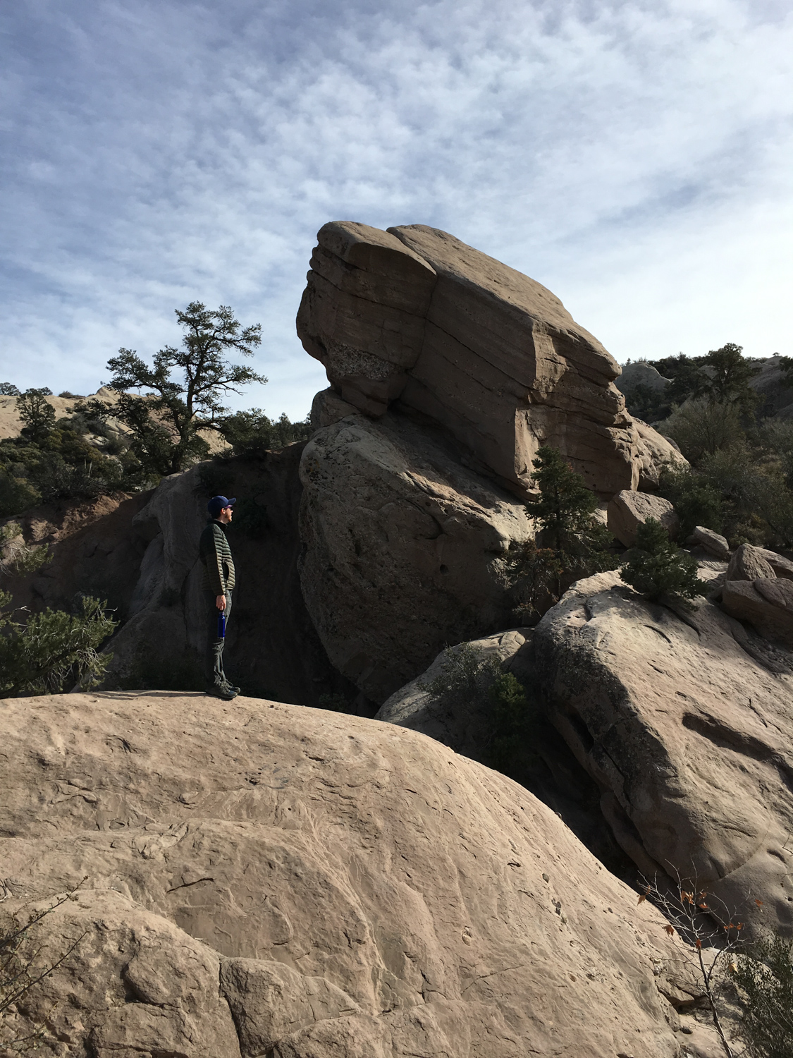
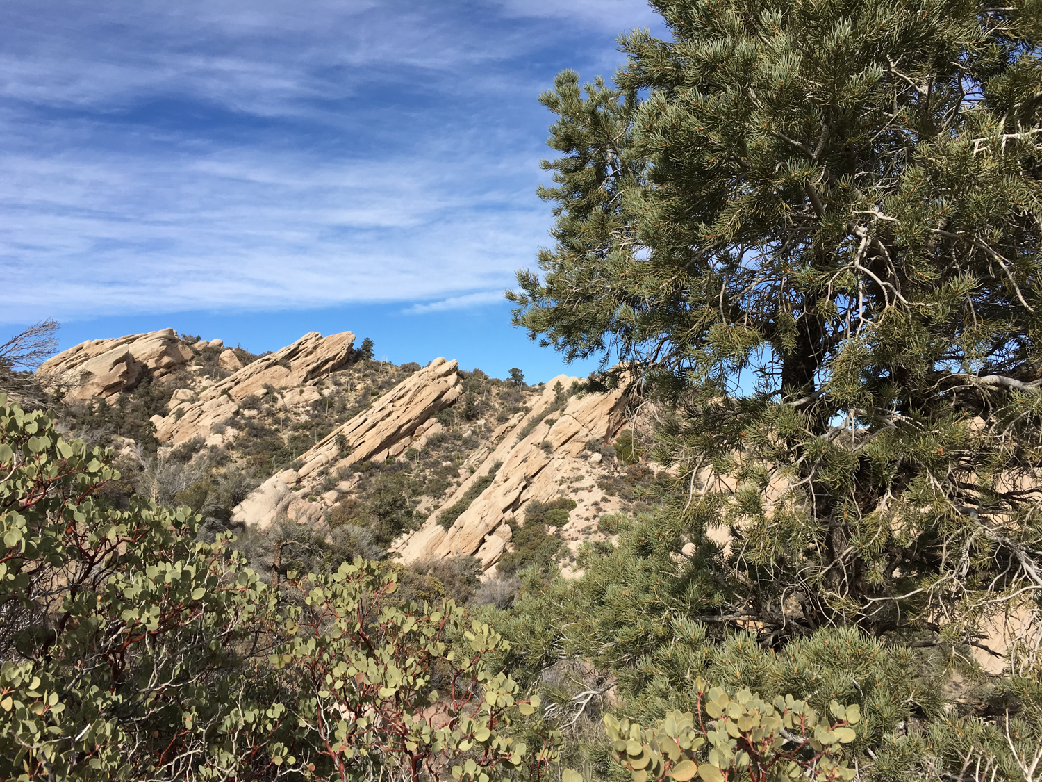
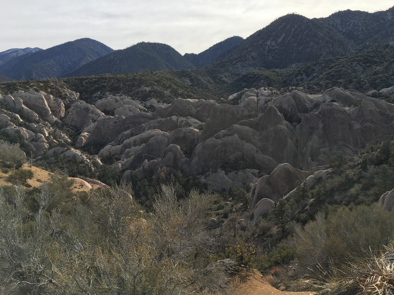
Here, layers of sedimentary sandstone has been tilted to nearly vertical angles by the nearby Punchbowl and Pinyon Faults (offshoots of the nearby San Andreas), while the surrounding terrain has eroded to reveal this strange, twisted geology. The end result is a bonafide wonderland of rock formations that is a delight for explorers of all ages and abilities. Like nearby Vasquez Rocks, the Devil’s Punchbowl also features a great nature center (open 9AM to 5PM, closed Mondays) — but unlike Vasquez, it’s easy for experienced hikers to access longer trails in the San Gabriel Mountains National Monument (the Devil’s Chair trek is a great day hike, while the long haul up to Will Thrall Peak / Burkhart Saddle is a certified leg-buster)
Devil’s Punchbowl Recreation Area Post Bobcat Fire Update
Since reopening on April 1st, 2022, the Devil’s Punchbowl Recreation Area bears many scars from the Bobcat Fire that torched much of the San Gabriel Mountains in September 2020. As of March 2023, many of the large trees and bushes are still lifeless and charred. Mercifully, there are several, less pine-heavy sections of the Devil’s Chair trail that evaded the worst of the flames. Even looking at the mountain peaks south of you, it is prominent which sections were affected the most by the fire. Overall, a solid 80 percent of these hiking trails are still clearly burned.

In the aftermath of the Bobcat fire, several native Southern California plant species are beginning to poke their heads through the soil. Aside from the seasonal grasses, Hairy Yerba Santa, Poodle-dog Bush, and Chaparral Yucca were growing in the burned sections. And although many perished, there were also several Pinyon trees that survived the flames. If there is any consolation from the fire, it’s that the rainbow of color that highlight the hillside is now in clear view, reminding me of Death Valley’s painted canyons.


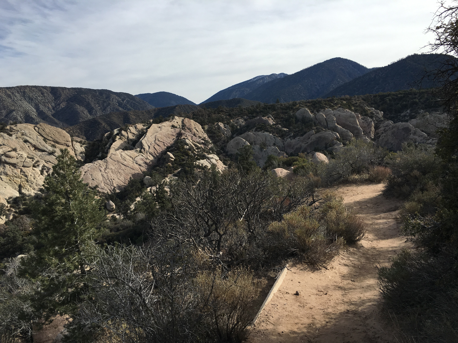
Trail conditions were surprisingly great. Both trails were well-maintained and easy to follow, with markers throughout. A new map board, four pit toilets, and picnic tables are available for hikers to use at the trailhead. Sadly, the nature center was destroyed and is not yet rebuilt.
Despite the many burn scars, the Devil’s Punchbowl Recreation Area is still a fascinating and otherworldly place to explore. However, as listed on the Los Angeles County Parks and Recreation website, this is still an active recovery zone, so please stay on the trails to help the new growth thrive.

The hike begins right near the trailhead, where you’ll likely want to just run to the fence to get a glimpse of the Punchbowl itself. It’s OK — you don’t have to fight that urge.

The route as described here heads to the north, for a short loop along the Piñon Pathway trail. You’ll see a sign just past the Visitor Center.

This simple, easy 0.3 mile loop is — as the sign makes clear — a self-guided nature trail. You’ll learn about the unique plants and animals that call this place home, as well as a bit about the unique geology surrounding you.

The Devil’s Punchbowl is in a unique transition zone, where the westernmost borderlands of the Mojave Desert that stretch into the Antelope Valley meet up with the colder, wetter, higher climate of the San Gabriel Mountains. Indeed, on your drive in, you’ll pass desert sights like Joshua trees, which transition into Pinyon-Juniper Woodland as it approaches the San Gabriels. Here, the Joshua trees give way to piñon pine, mountain mahogany, and basin sagebrush.
The Loop will close off and put you back where you started — and from here, continue to the east to head into the Punchbowl itself. At about 0.2 mile, you’ll start your descent.

As you trek down into the Punchbowl, you are likely to be enchanted by the seemingly impossible angles these huge sandstone slabs are sitting at. It’s kind of hard not to, actually.
Do, however, be mindful of the trail — especially after you bottom out at 0.6 mile. Here, use trails spiderweb out into the rock formation. And yes, it is really fun to explore down here and get a little lost, but you do want to be able to find your way back to the established trail at some point, right?
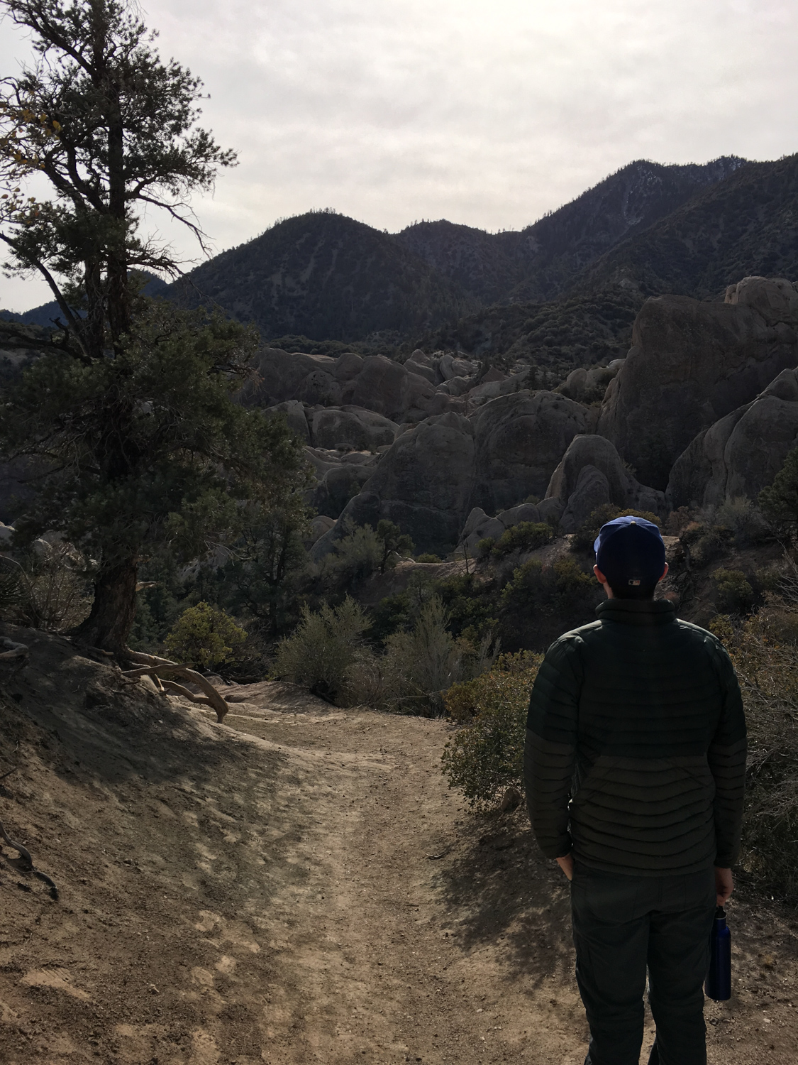


The trail heads west and starts to climb up out of the Punchbowl. It’s a very manageable climb, but during the hotter months you’ll want to make sure you pack plenty of water with you on this trek and try to avoid being here in mid-day … you are still in the desert, after all.
At 1.2 miles, stay to the right to head back toward the Visitor Center … or take a left to head to the Devil’s Chair for an impressive view of the Punchbowl from a prominent perch.
Please note – the Devil’s Punchbowl Natural Area was badly damaged in the 2020 Bobcat Fire. Conditions may differ from their description here.
Tags: Antelope Valley, devil's punchbowl, Los Angeles, san andreas fault, San Gabriel Mountains


