A six mile loop through some of the most stunning badlands in Death Valley National Park. This route features tons of geologic and human history – you’ll pass through layers of strata defining the different ages of Death Valley’s past, see canyons painted in dozens of different colors, and pass old mining shafts and claims from the area’s industrial heyday. This is an incredible hike through varied Death Valley terrain and is highly recommended.
The Golden Canyon Trailhead can get a little crowded sometimes – the first part of this loop is an easy, interesting nature trail that’s only 2 and a half miles from the (relative) bustle of Furnace Creek Ranch. But even if you have to wait for parking to get onto this trail – do it. It’s 110% worth the effort.
Note: Do not attempt this trail on hot summer days. There is no shade and no water. Additionally, both Golden Canyon and Gower Gulch are extremely prone to flash floods, so be sure to check the forecast before you set out.
Golden Canyon takes you through layers of geologic history, but if you’re not a geologist then it’s good to have a guide. If they’re stocked, you can pick up a pamphlet for 50 cents at the trailhead just before you enter the canyon itself. There are 10 marked items along the first mile of the ‘nature walk’ portion of the trail, and the pamphlet will teach you about many of the geologic features you see all over Death Valley National Park. It’s worth the price, even though some of the numbered markers in the canyon are missing or very tough to see.

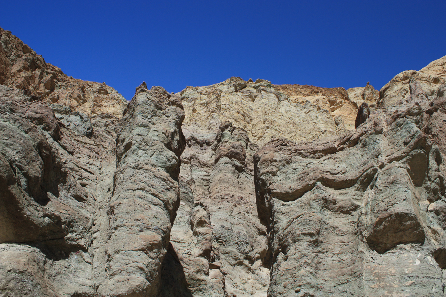
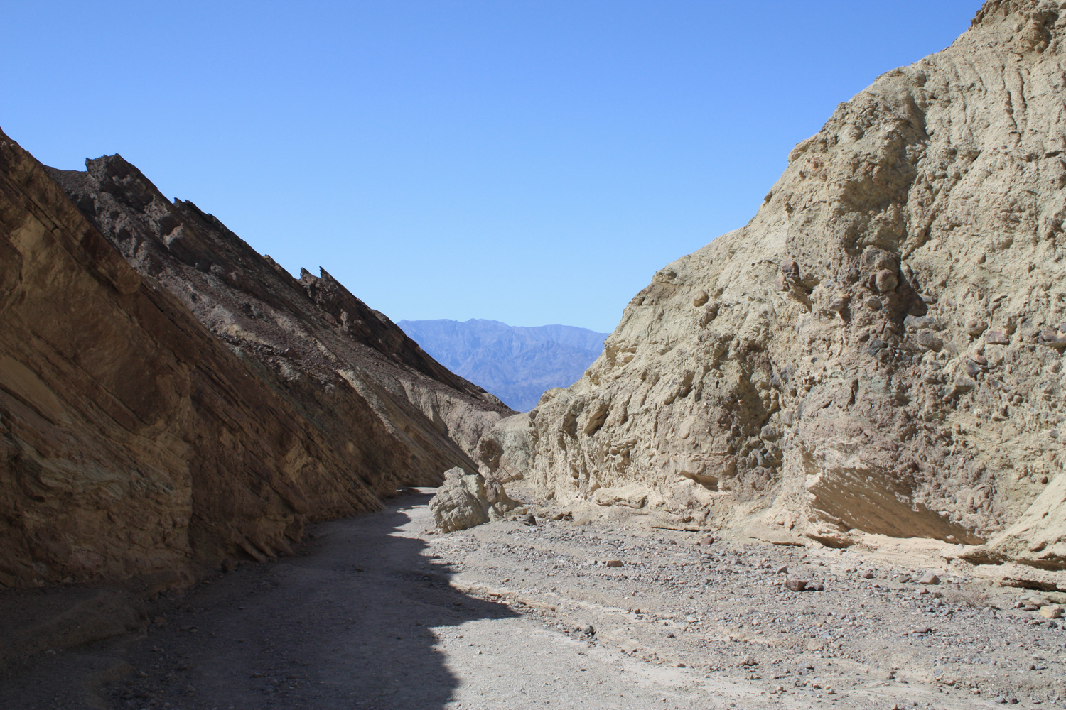
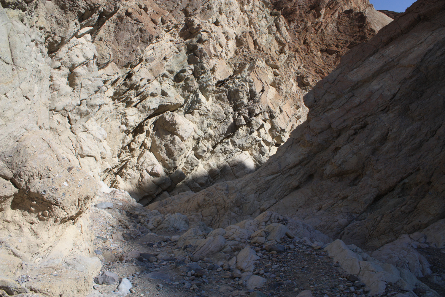
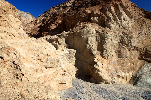
As you make your way into the canyon, pay close attention to the rock walls surrounding you – you can see them change as you hike, from water-polished volcanic rock to the twisted and folded sedimentary rocks left over from the ancient bed of Lake Manly.

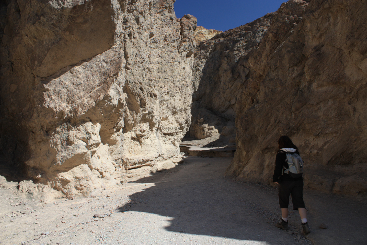
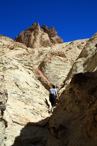
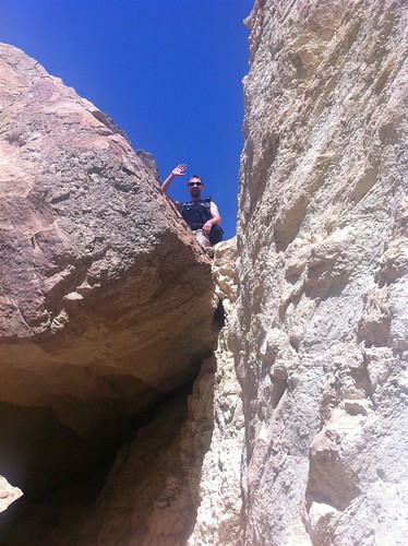
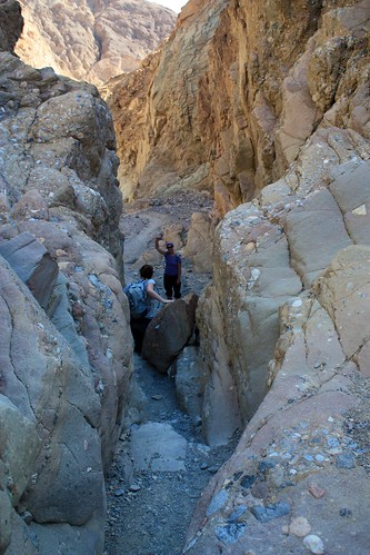
At about the 0.3 mile mark, you’ll start to notice some short but steep slot canyons cutting through the side walls of Golden Canyon. None of these will take you particularly far off the beaten path, but they are great little add-ons if you want to get your hands dirty or just do some basic scrambling.
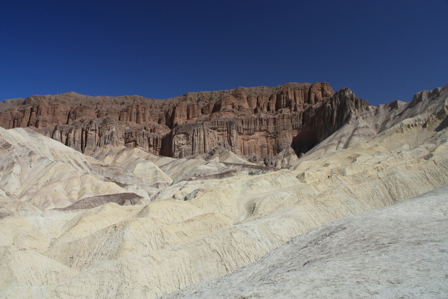
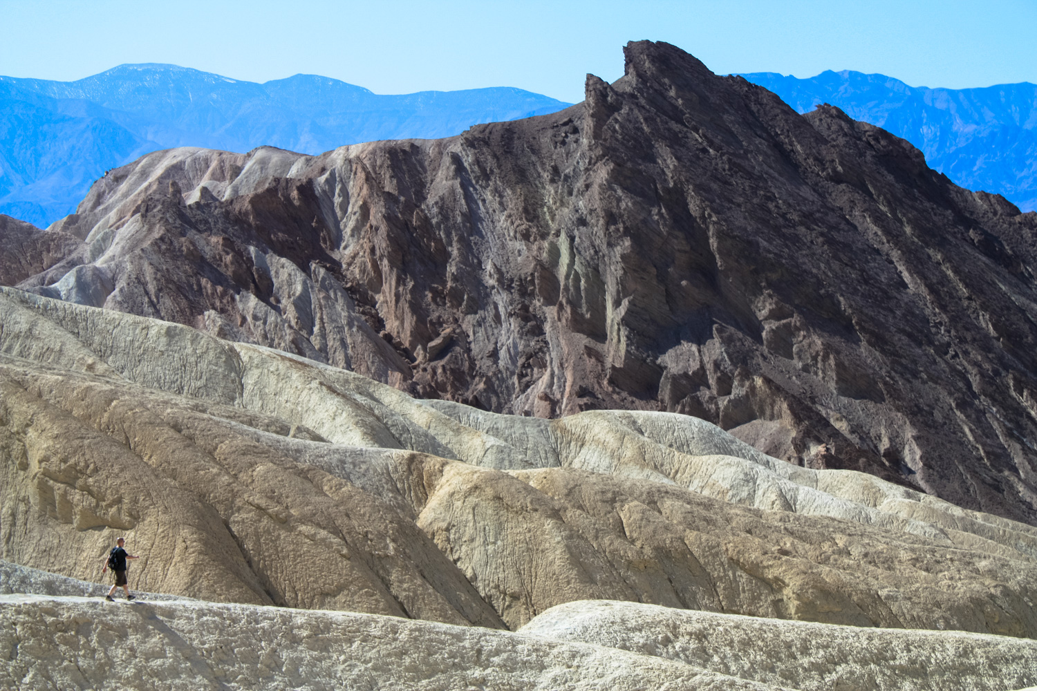
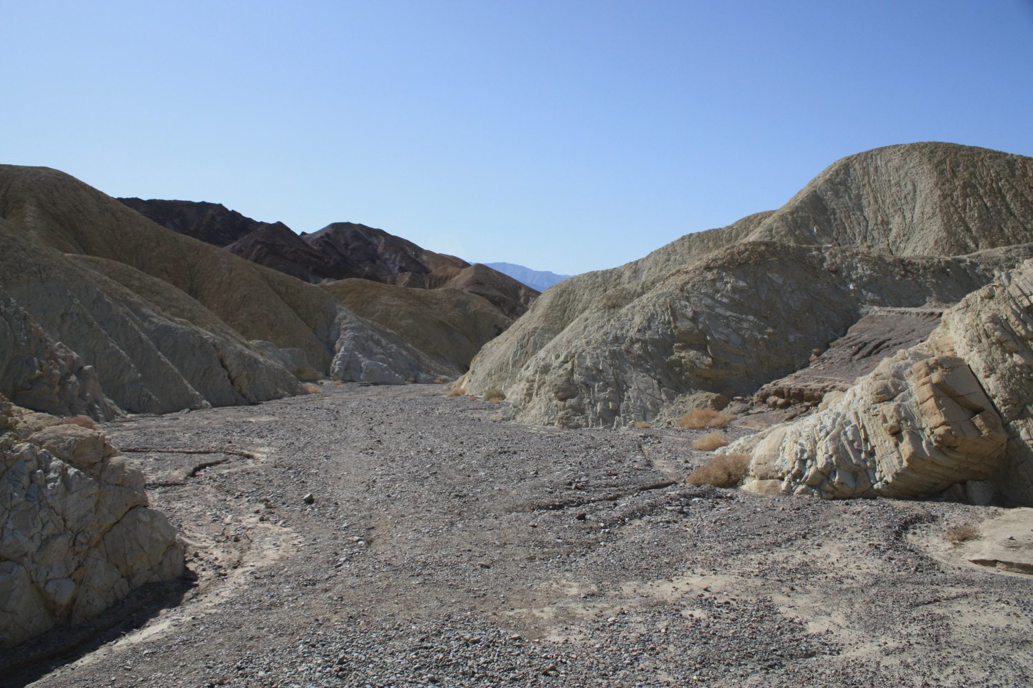
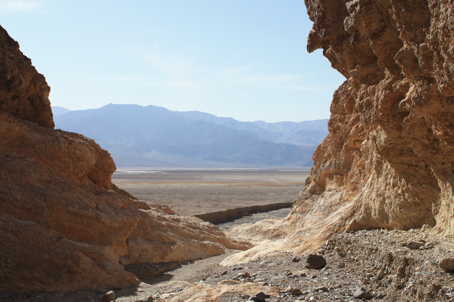
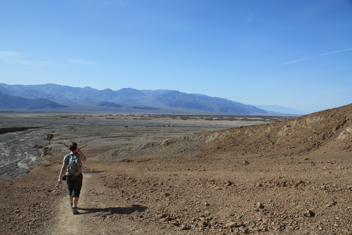
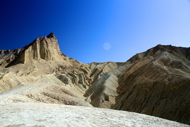
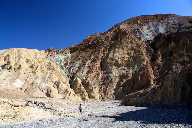
When you’re hiking, be sure to occasionally look back toward the mouth of the canyon – you’ll really be able to see some clear evidence of geologic uplift on the canyon’s southern wall … as well as some really nice views of Death Valley off in the distance:
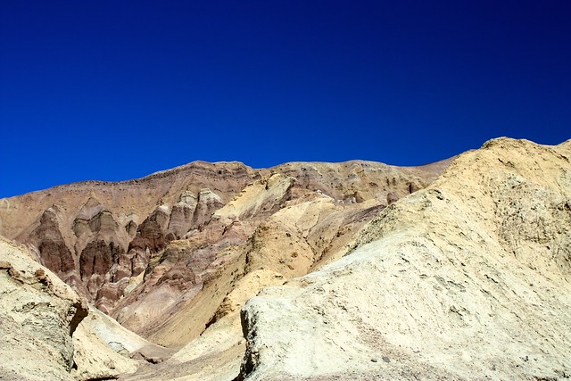
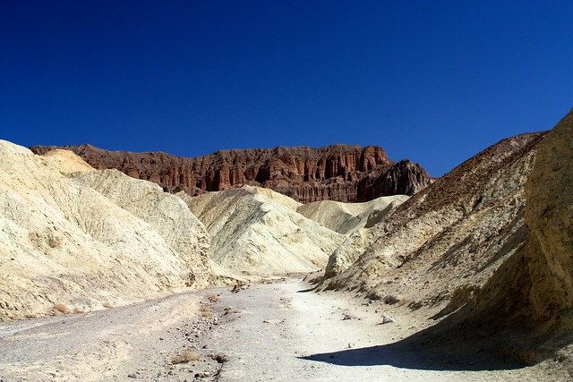
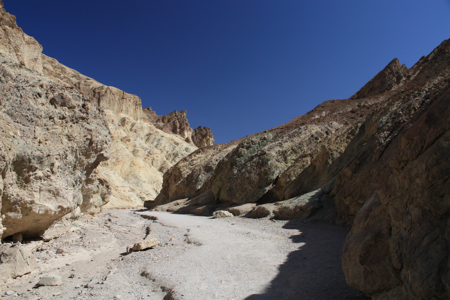
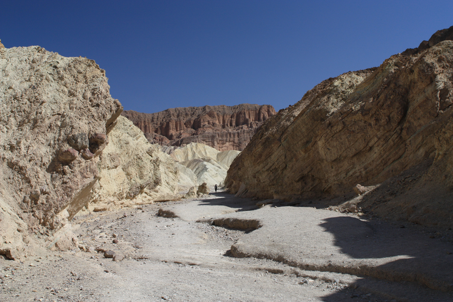
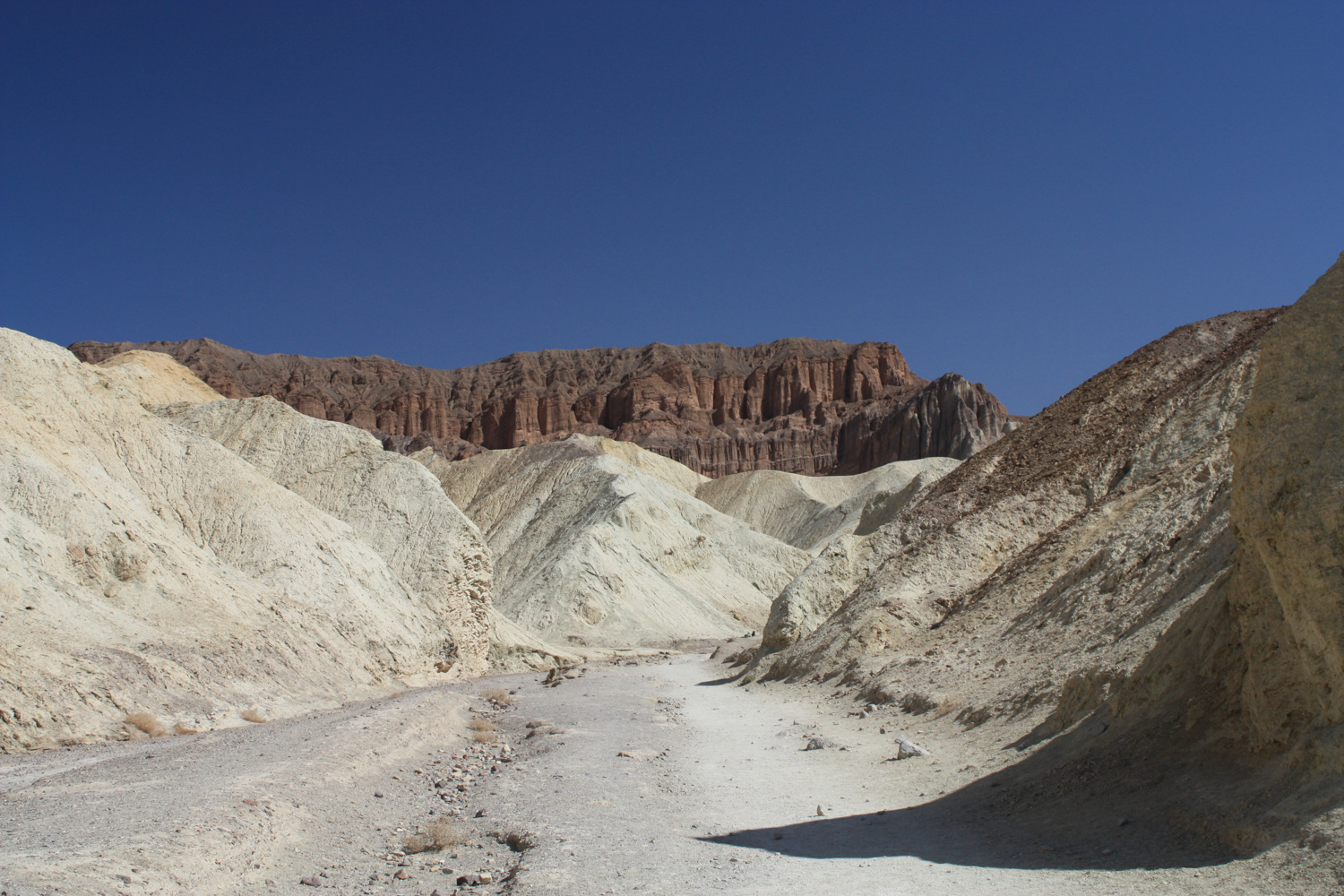
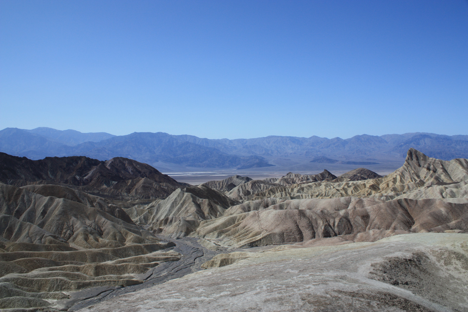
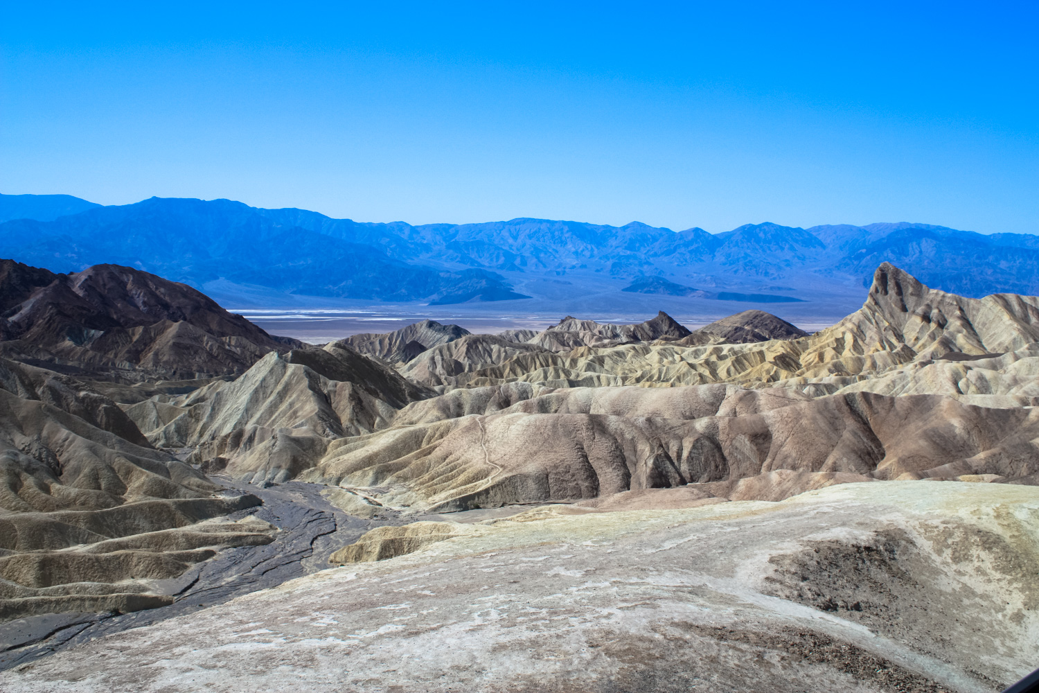
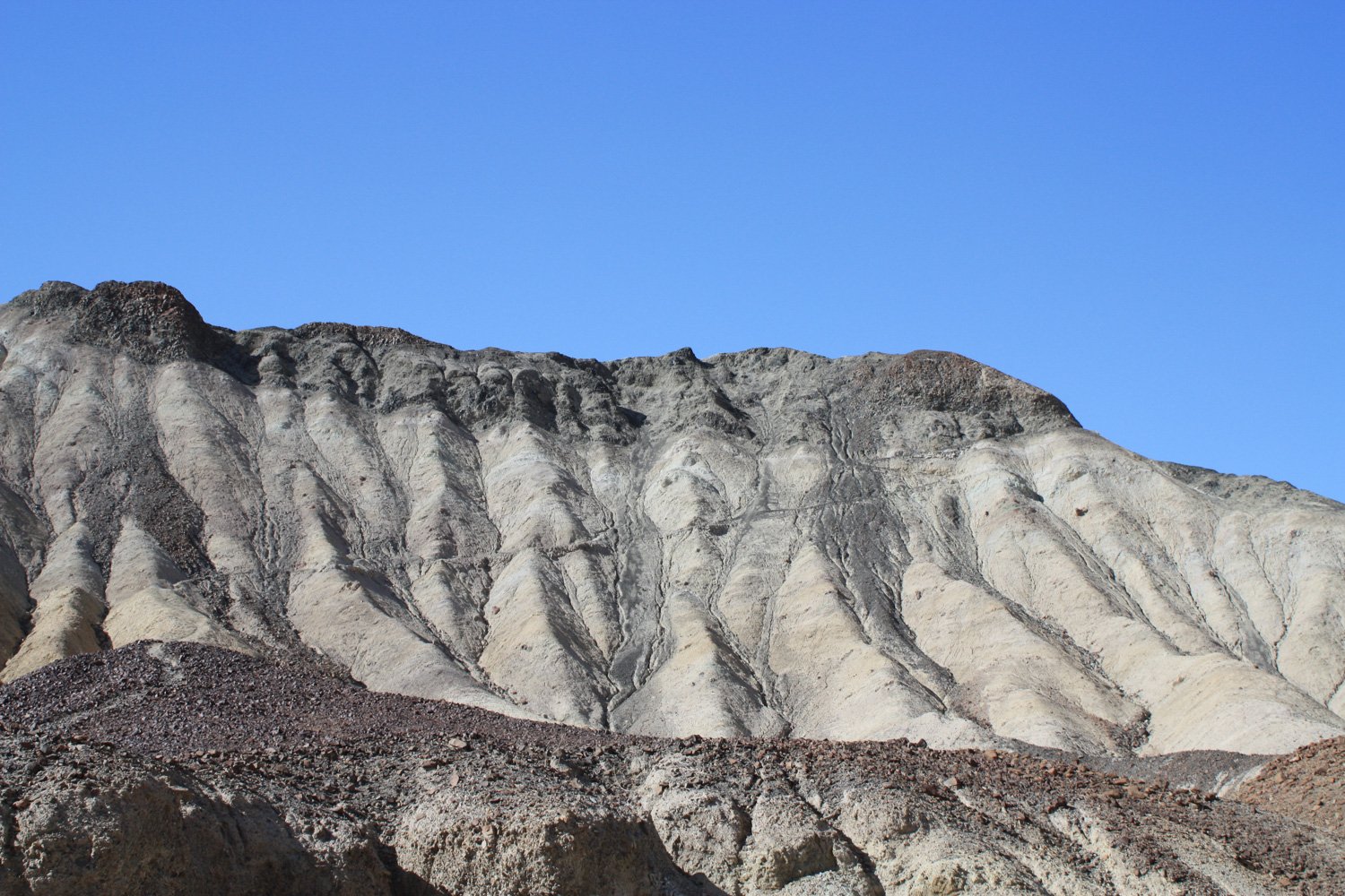
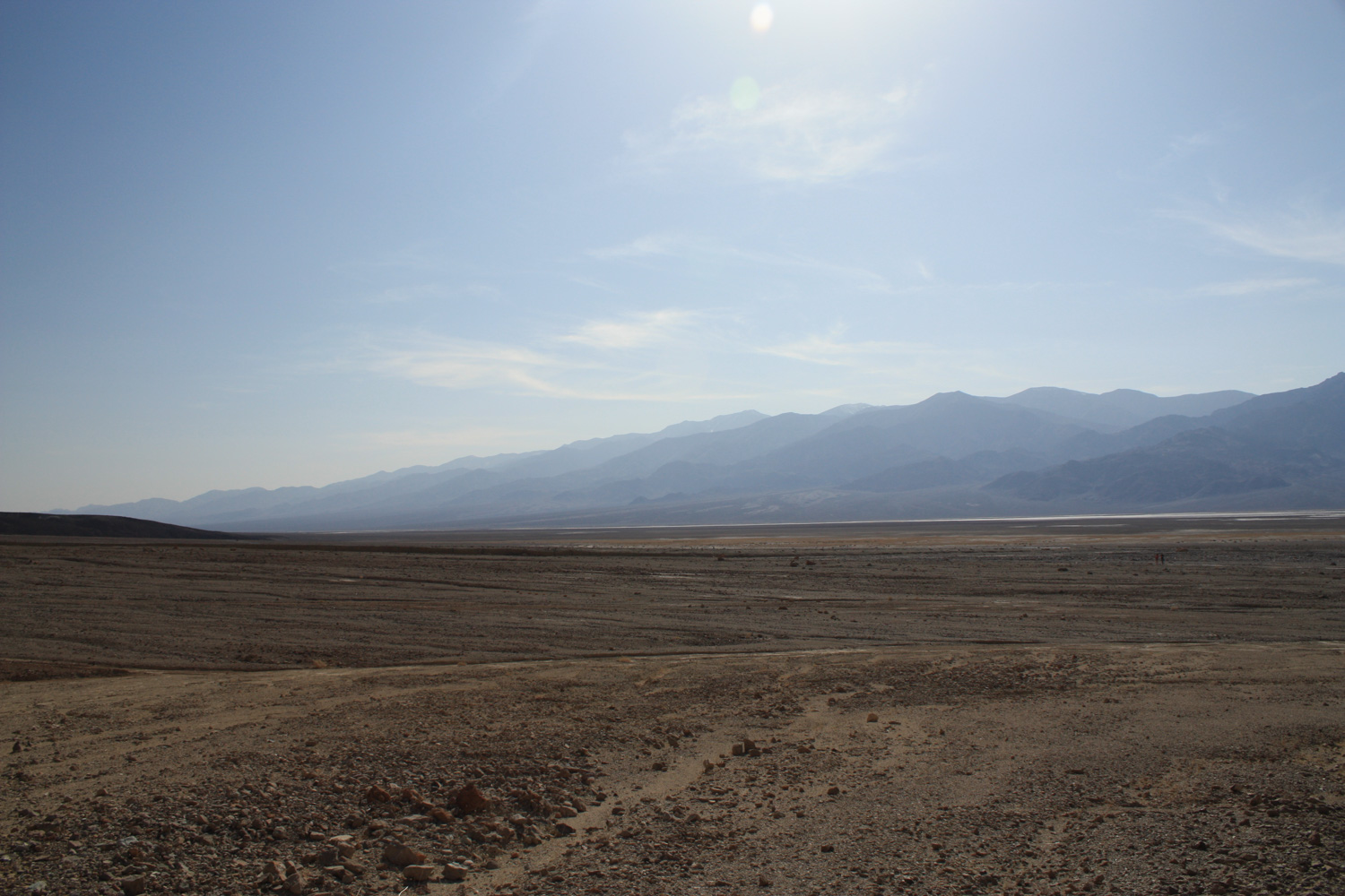
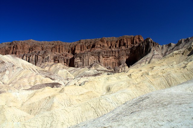
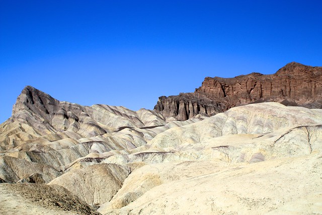
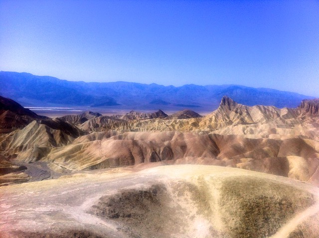
The nature walk section of this hike ends at the one mile mark near Marker 10. From here you can turn around and head back to the trailhead or follow the old paved path to a parking area beneath the Red Cathedral formation. But if you really want to get some amazing views of the badlands and turn this into an epic journey, keep heading into Golden Canyon until around the 1.2 mile mark. Here, the canyon narrows before opening up to a section of worn-down, golden badlands.
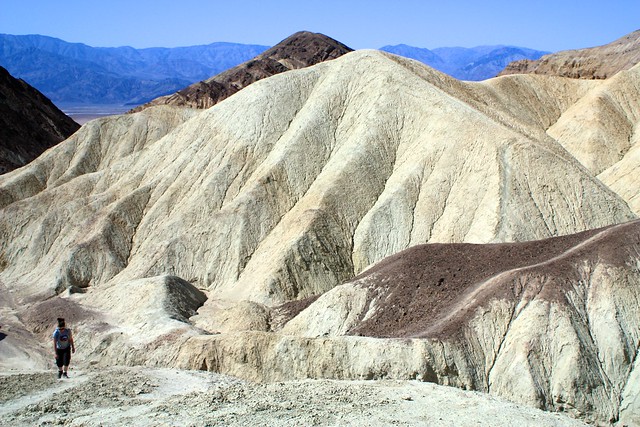
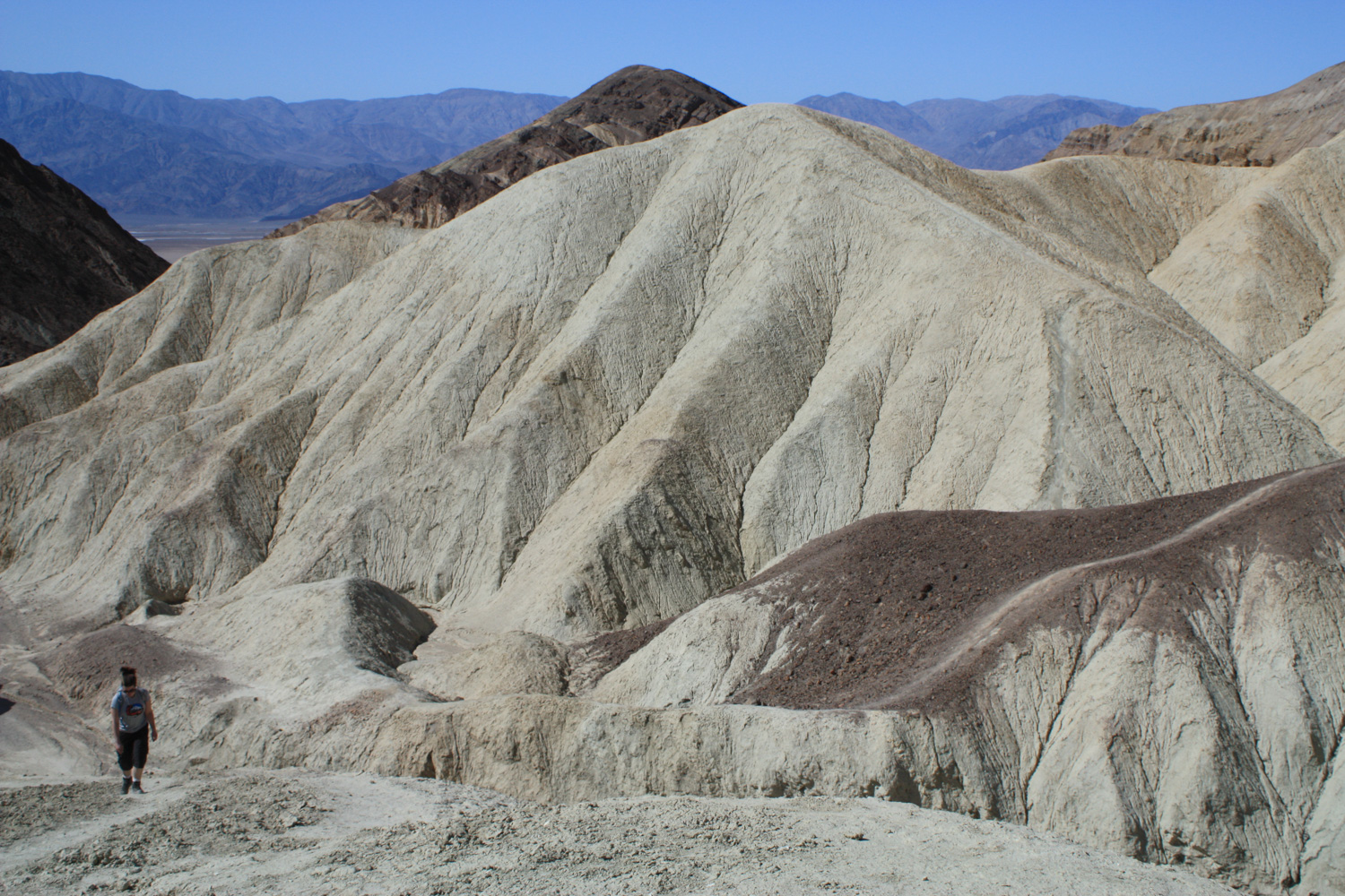
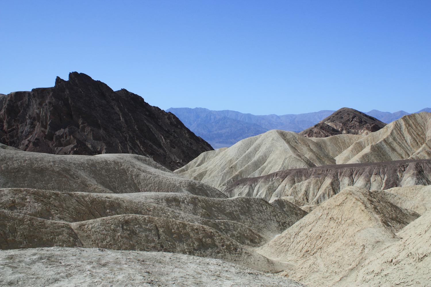
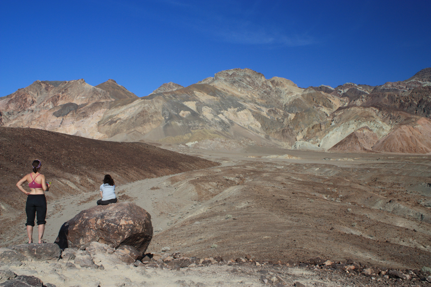
After you’ve had your fill of the view, scramble back down to the trail and get ready for a bit of an ascent – about 325 feet in a quarter-mile. It’s not that bad, but since most of what you’ve been hiking on so far has been at a very slight incline, you’ll definitely notice this one. You’ll also notice some amazing views as the trail skirts the western edge of Manly Beacon, providing breathtaking glimpses at the surrounding badlands – which one of my companions described as looking like melted ice cream.
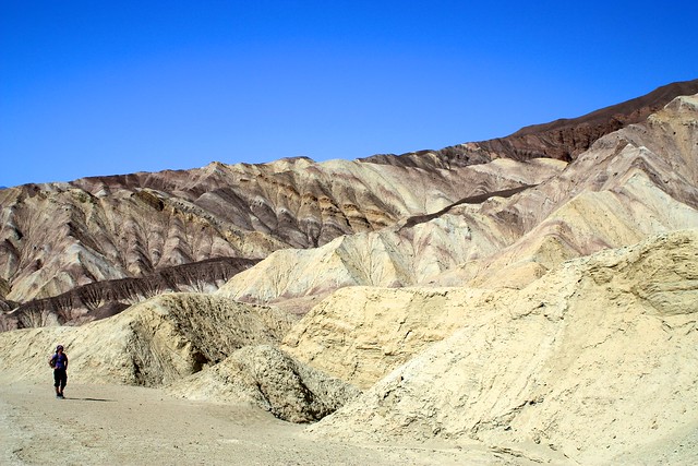
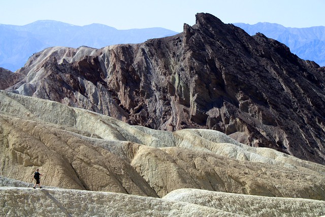
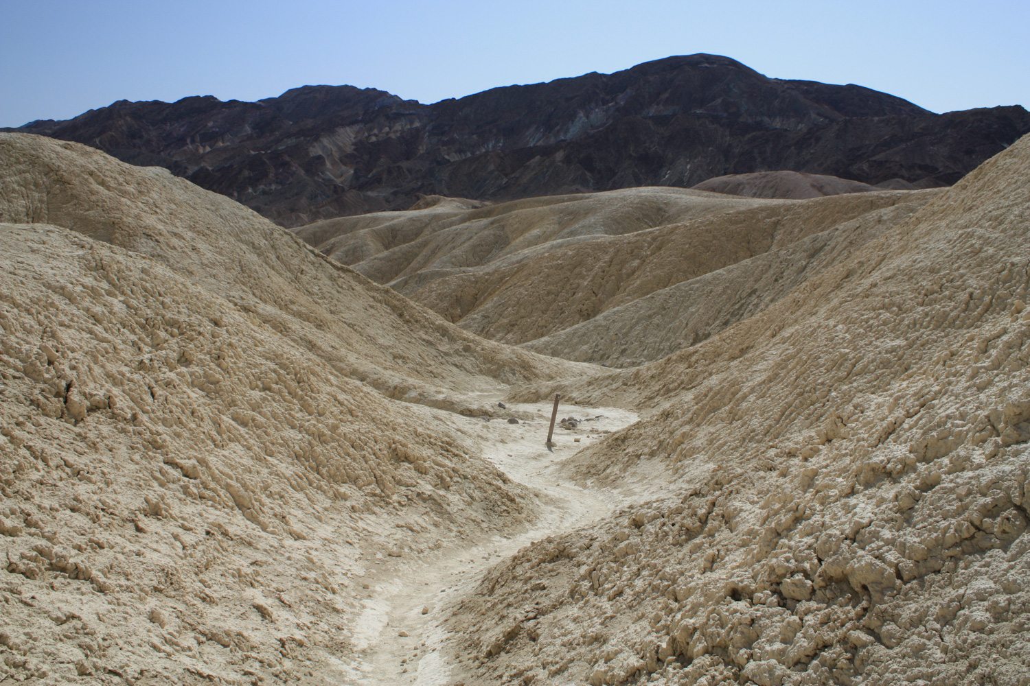
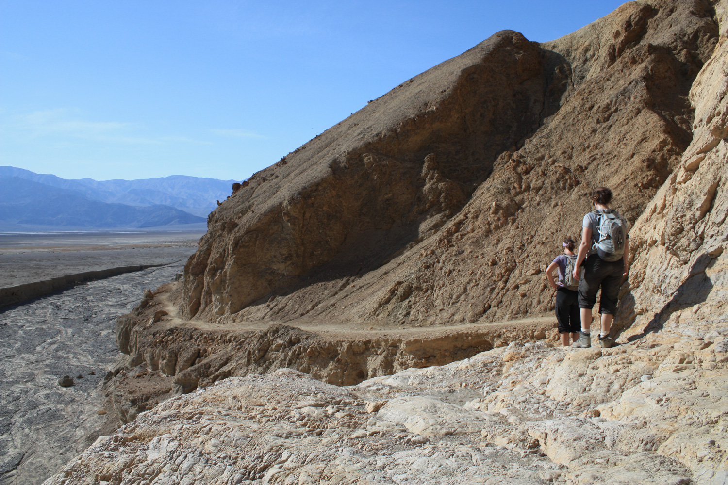
At about the 1.6 mile mark, you’ll pass beneath Manly Beacon. There’s an optional unmaintained use-trail that follows the ridge parallel to Golden Canyon’s southern rim, but ignore this and instead make the quick descent into the badlands.

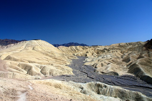
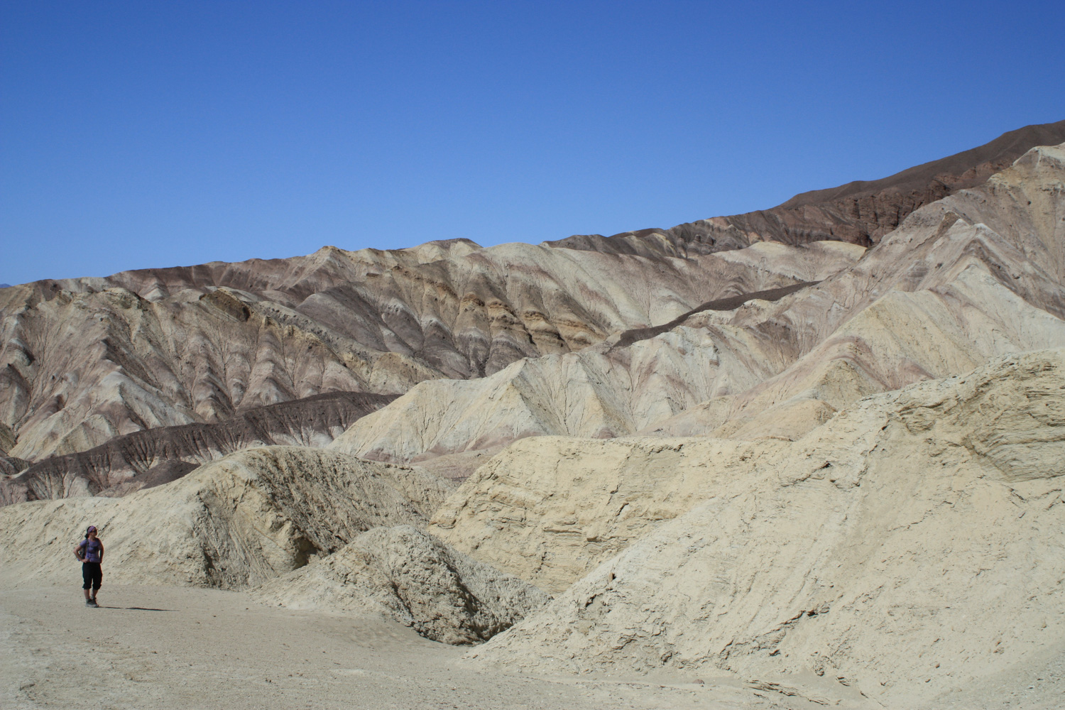
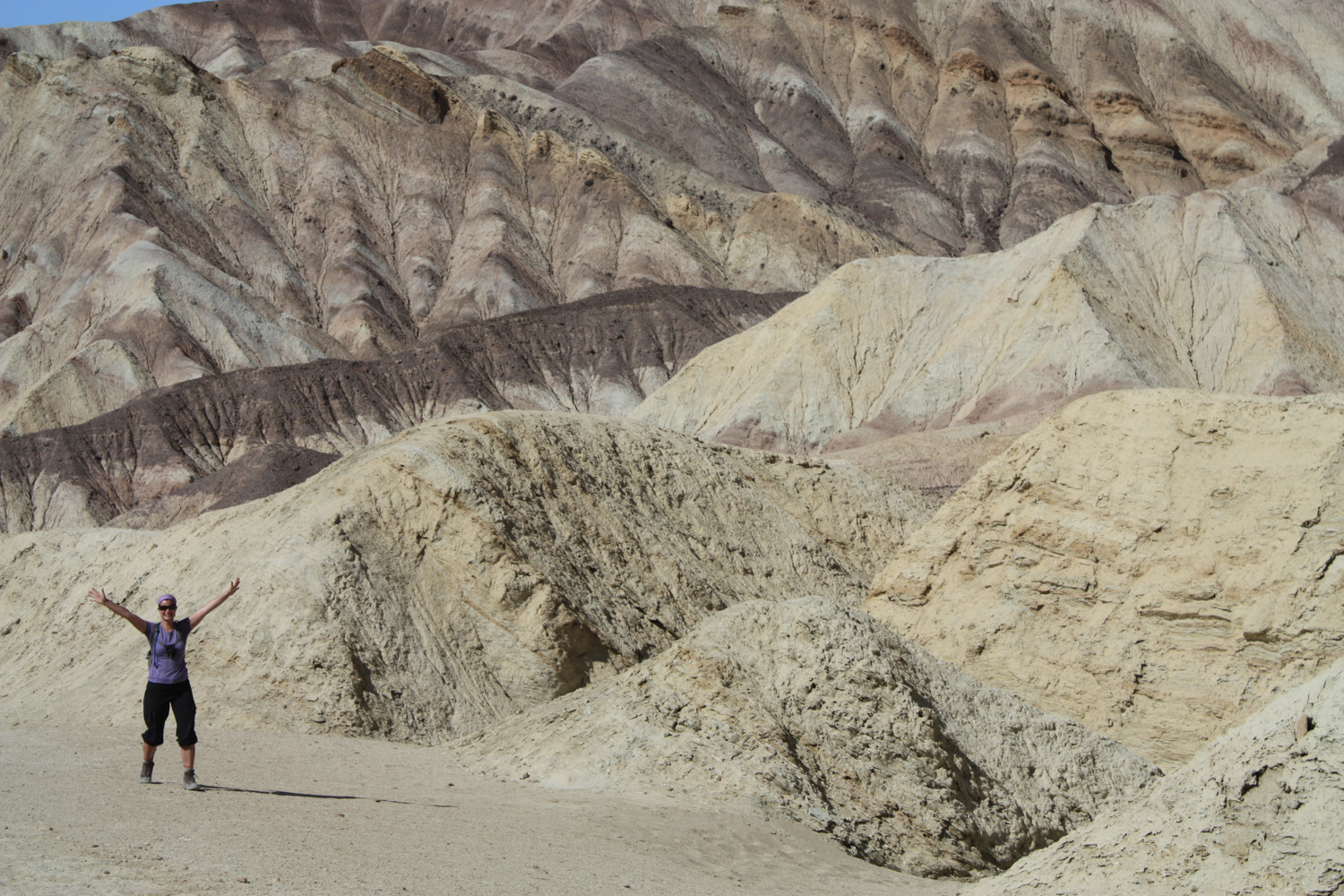
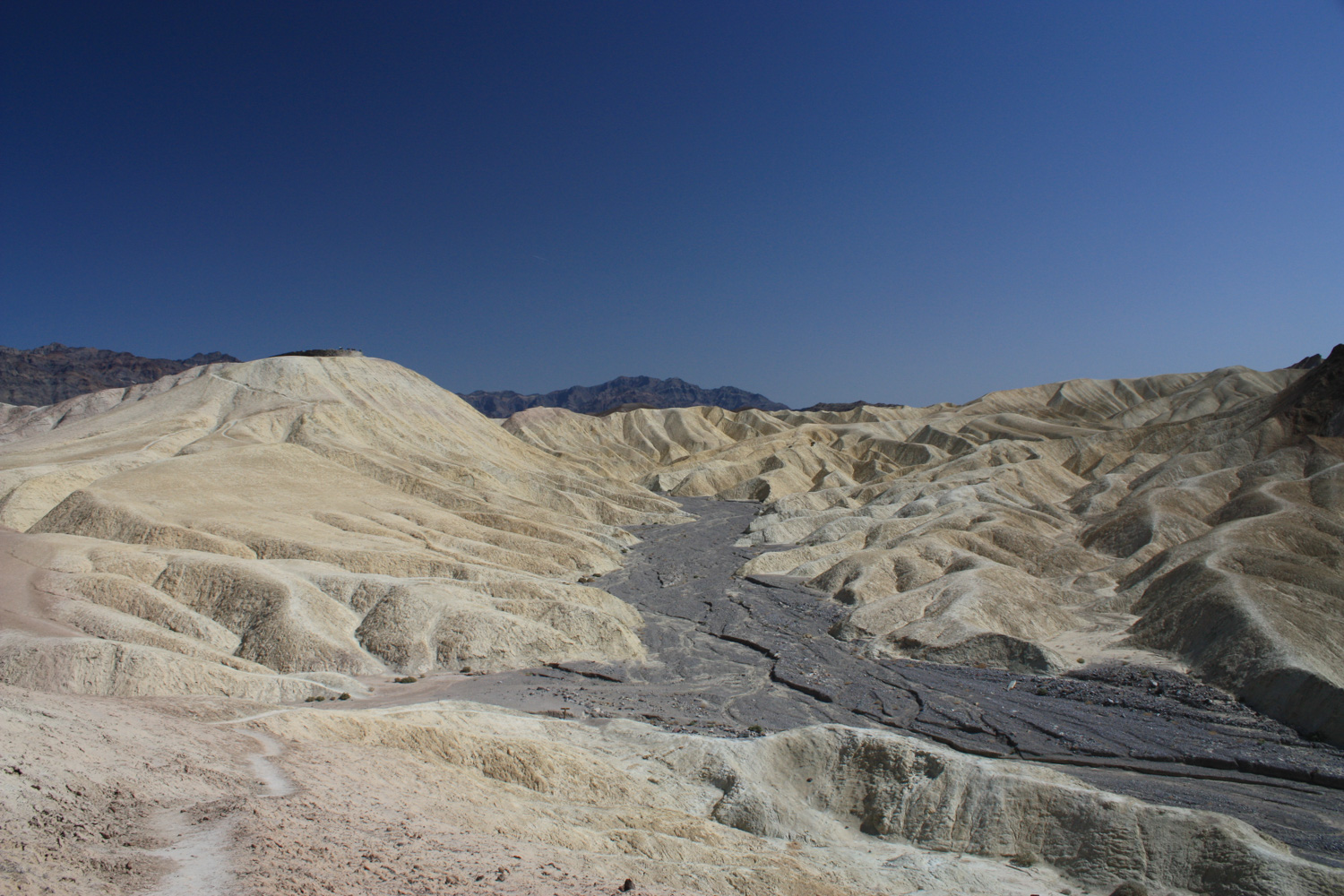
We all wondered why this section of Gower Gulch looks so remarkably different from the surrounding landscape – and later on I learned that it’s the result of human activities – the gulch was breached on its eastern reaches to divert the flow of Furnace Creek away from the Inn during flash floods. So, as a result, the upper reaches of Gower Gulch are now far more eroded than they should be – and they have those foreign rocks lining the wash instead of pieces of the surrounding badlands.
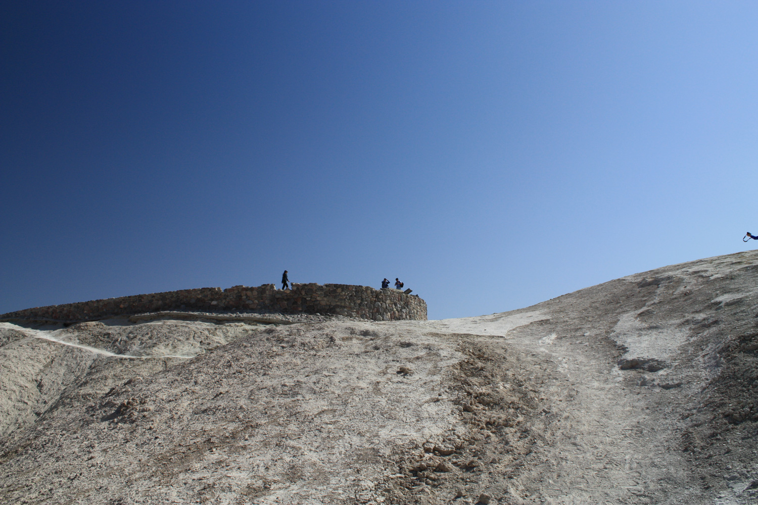
At 2.5 miles, the trail drops down into that rocky gray wash and you’ll see a few faint use trails ascending east toward Zabriskie Point. Take your choice of paths – they all meet up just over the first ridge – and follow the route for the final 0.3 miles to Zabriskie Point for some stunning views of the surrounding landscape.
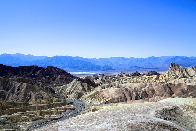
Zabriskie Point is reachable via car and a very short hike up a paved path, so you will have the Mount Wilson Effect here – you’ll probably emerge sweaty and tired, to collapse on the ground, take off your boots and devour some trail snacks … just as some tourists stroll up in their finest driving clothes to take a quick snapshot of the view. You’re probably going to get some odd looks from them. Don’t worry – you earned this view.
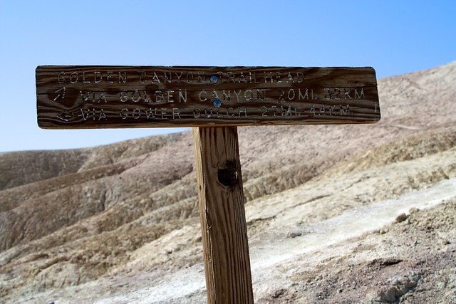
When you’re done resting up, backtrack down to Gower Gulch and keep your eye out for this sign near the trail you came in on from Golden Canyon.
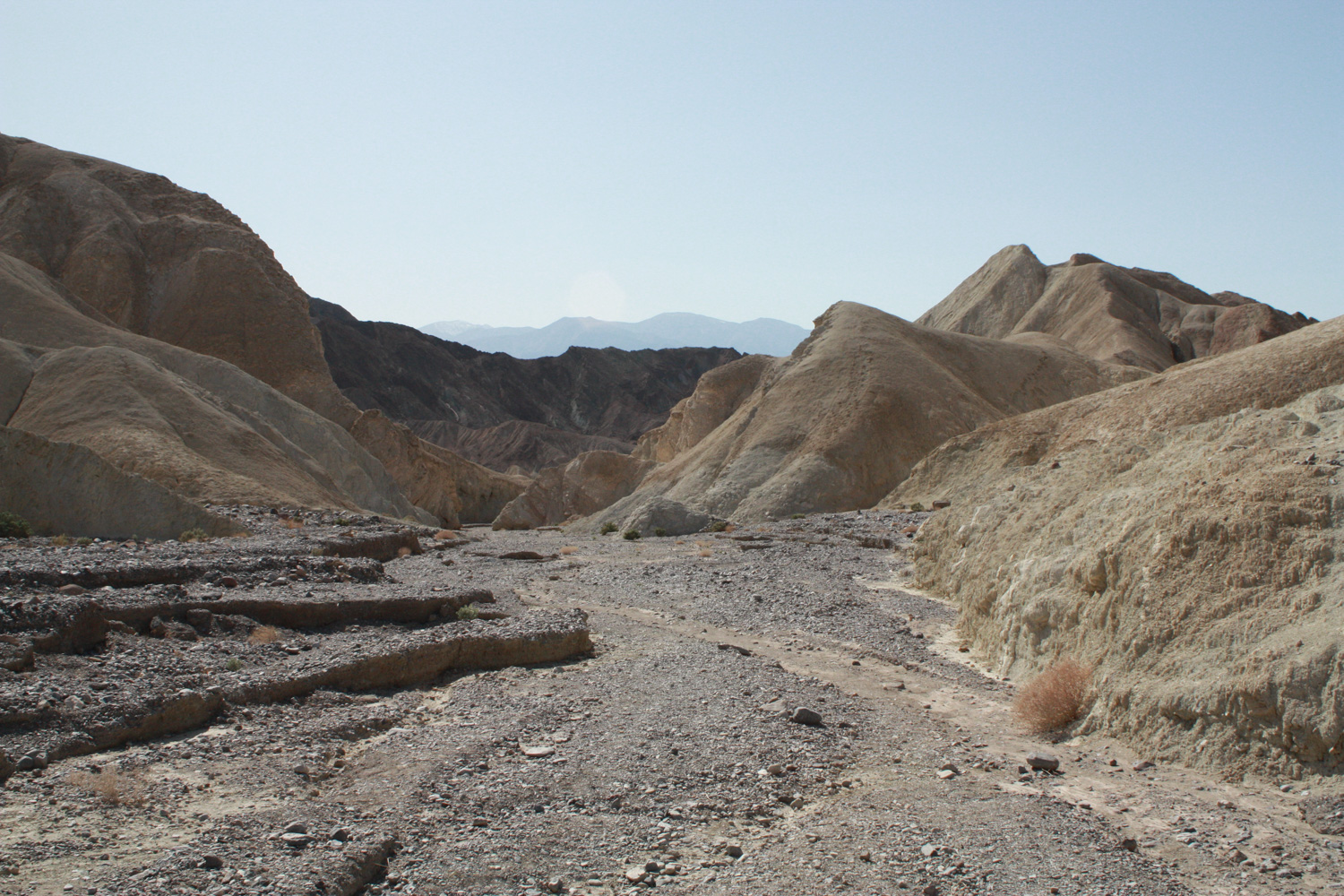
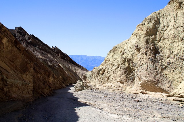
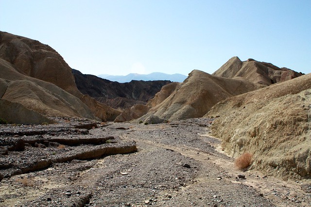
This route is very different from the hard, well-worn ground you hiked in on through Golden Canyon. Gower Gulch – especially in these upper reaches – is heavily eroded and gravel-lined, so walking is going to take a tad more effort here.
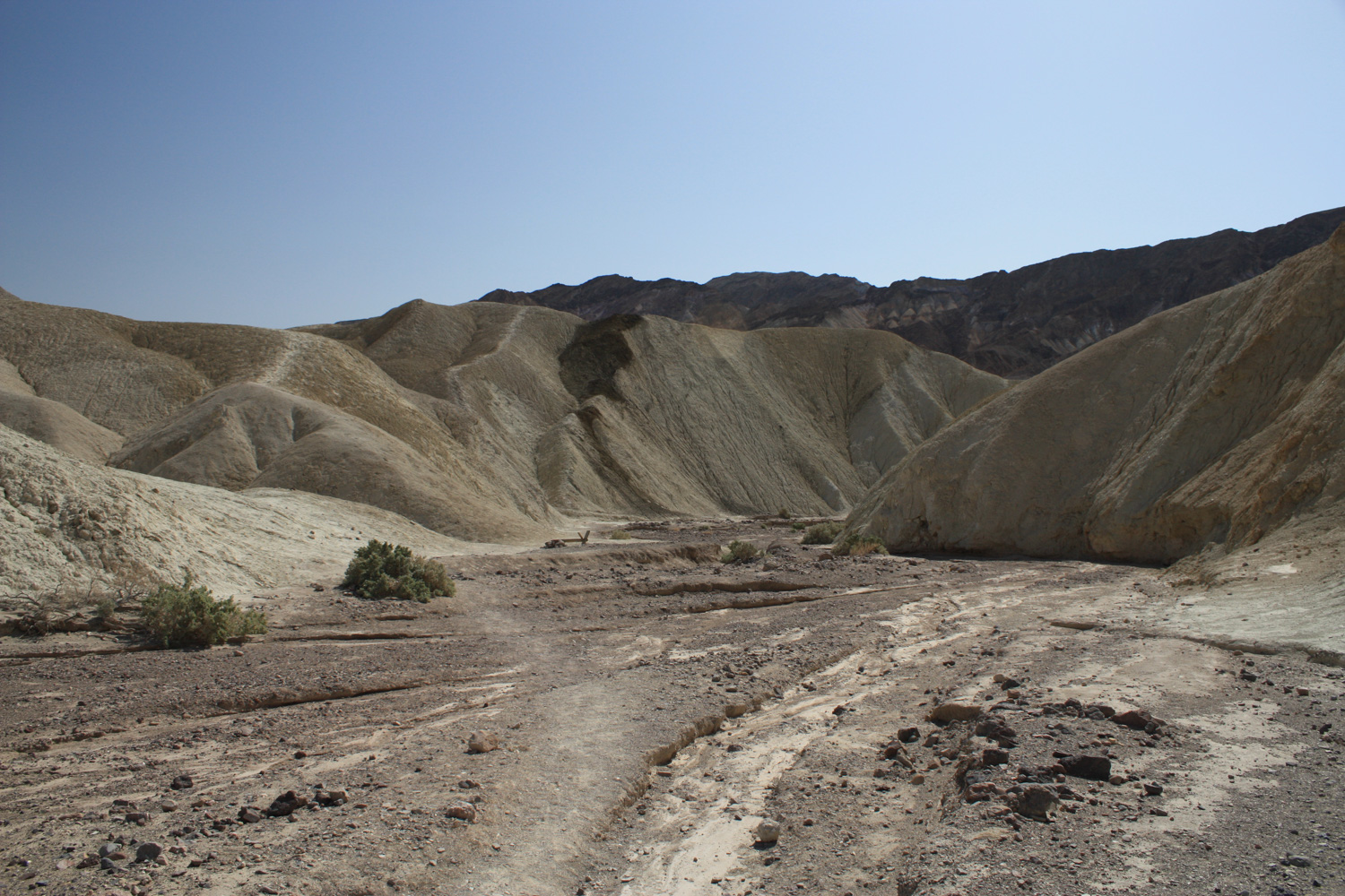
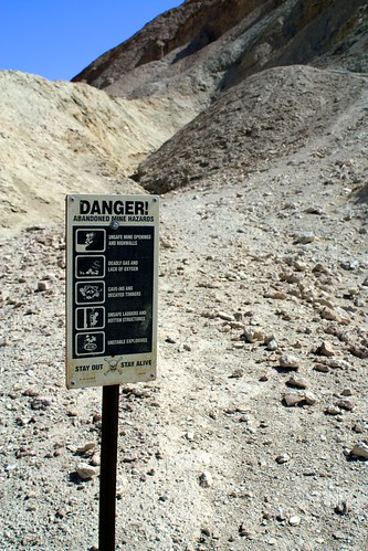
There are, however, several old mining areas very close to the wash – in some cases, there’s even old mining equipment, too. This was a very active mining area during Death Valley’s heyday, and there are all sorts of signs posted warning you about all the different ways you could die if you explored any of that old infrastructure.
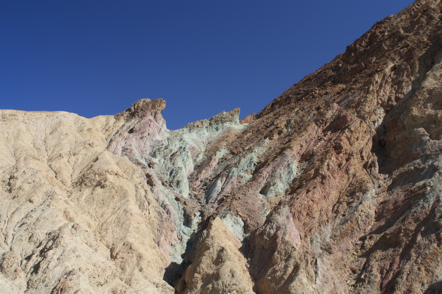
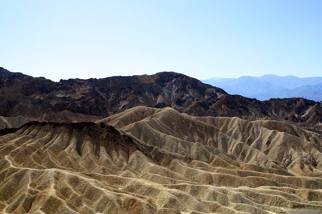
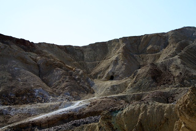
As you hike further down Gower Gulch, the canyon walls rise up and eventually become painted with splotches of mineral deposits – many of them quite vibrant shades of green, red, gold, and white. And yes, you’ll see more mine shafts, too.

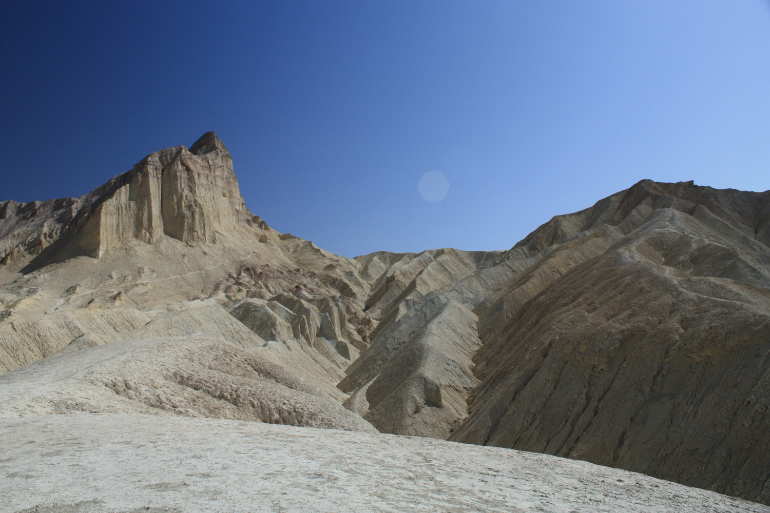
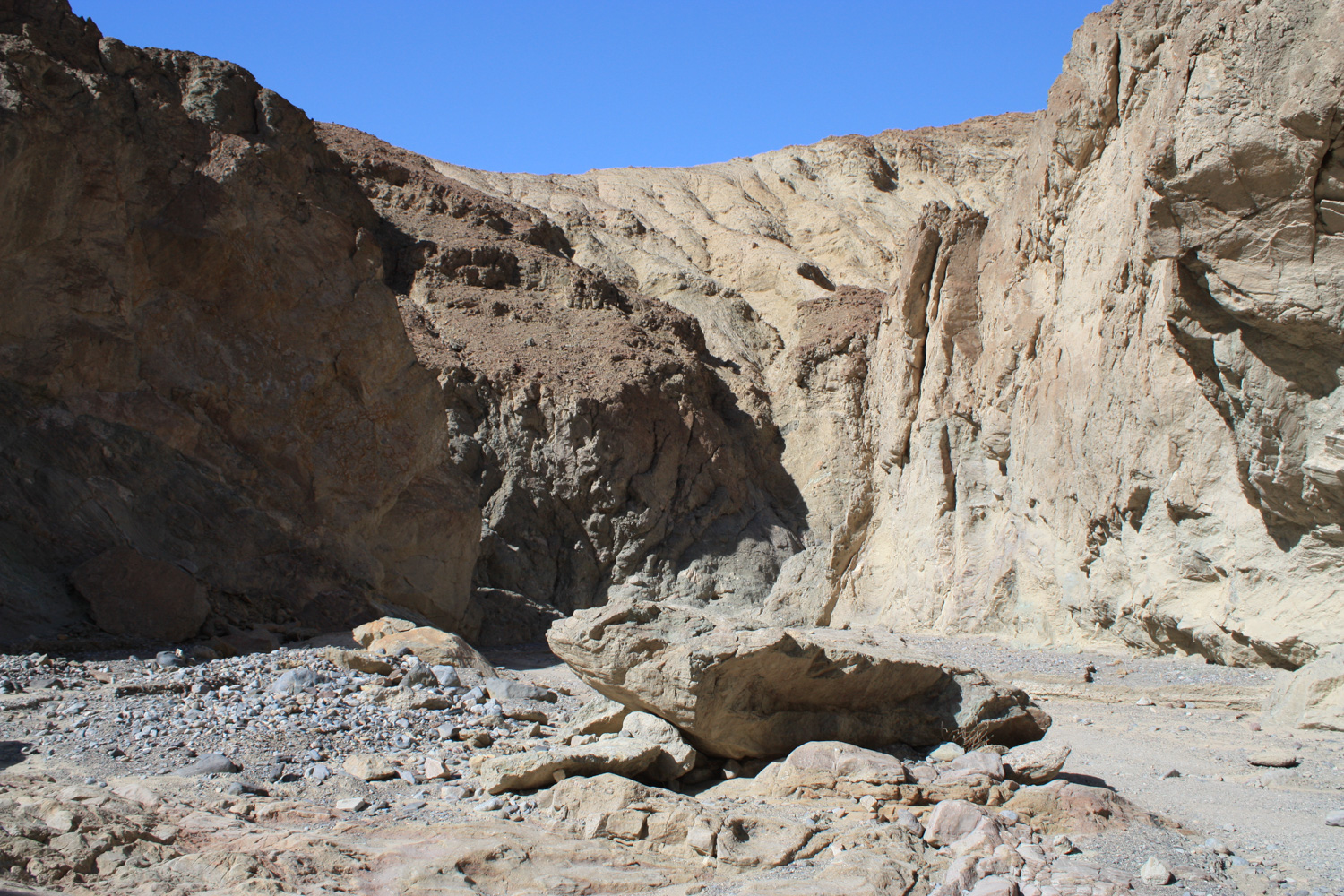
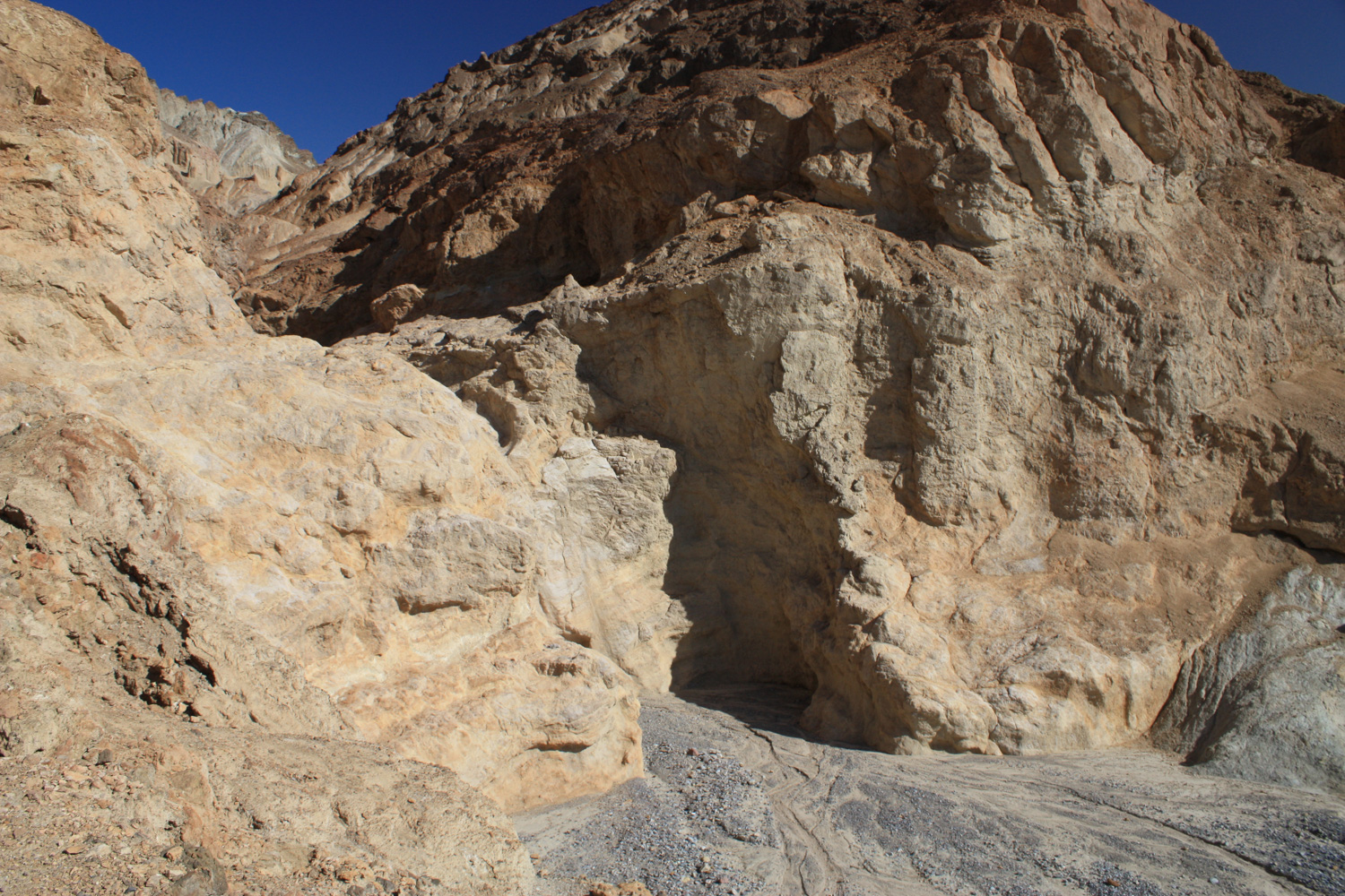
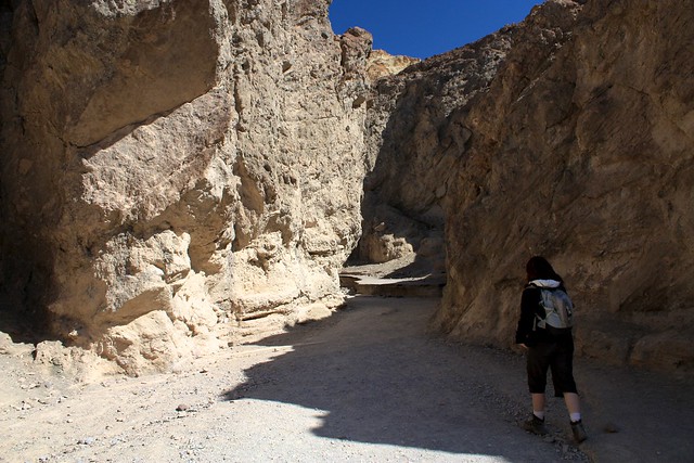
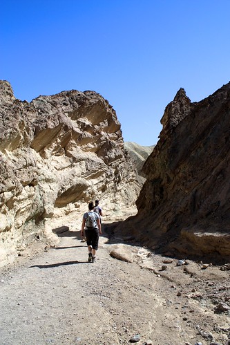
At the 4.9 mile mark, the canyon narrows significantly. From here, it no longer feels like the broad wash you hiked into, but it starts to feel a bit more like a slot canyon instead. There are a few fun little scrambles along the way, but nothing that should give you any pause.
Fortunately, there is a very visible use-trail on the right hand side of the dry fall. Stick to the wall, and be sure to look back to see just how much the water has eroded the land below the falls during wet weather. It’s not difficult to imagine a gushing river pouring through that narrow canyon …
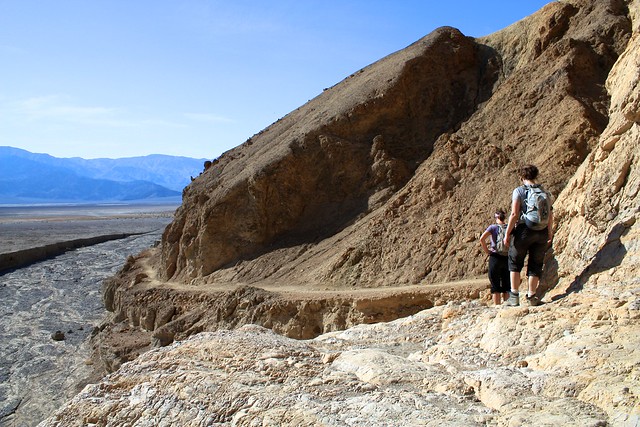
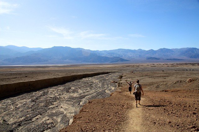
From here, the trail makes a sharp turn north and hugs the edge of the Amargosa Range as it heads back toward the Golden Canyon Trailhead. Enjoy the breathtaking views of Death Valley and the memories of your epic badlands journey on the last 0.8 miles.
Tags: badlands, death valley national park, desert, golden canyon, gower gulch, Hiking, history, manly beacon, mining, red cathedral, zabriskie point