I was poking around the San Gabriel Mountains on Google Maps one night when I came across the Dark Canyon Trailhead. Immediately intrigued, I wanted to know more about this ominous-sounding trail but found little information online. So, I pulled up my favorite trail mapping website to build my own route. It was during this process that I first discovered Mount Pickens and decided it was where I would end my hike. But there was a problem – there was no trail to its summit.
Luckily, I’d been toying with the idea of doing some off-trail travel for a while, and after convincing a friend to join me, we decided to attempt this hike. At 7.3 miles and 1,881 feet of cumulative elevation gain, it wasn’t the longest or most grueling trek that I’ve done. Still, the 1-mile off-trail section proved to be a humbling experience. I learned a lot on this hike, and now have a greater appreciation for trail-builders everywhere.
The adventure begins even before getting out of the car. The parking area is sparse – a small concrete turnout with enough space for 5 to 6 cards – and has no amenities, making it easy to miss. The trailhead is equally as nondescript, just an unmarked single-track trail on the south side of the lot. After grabbing our backpacks and lacing up our hiking shoes, we began our trek.
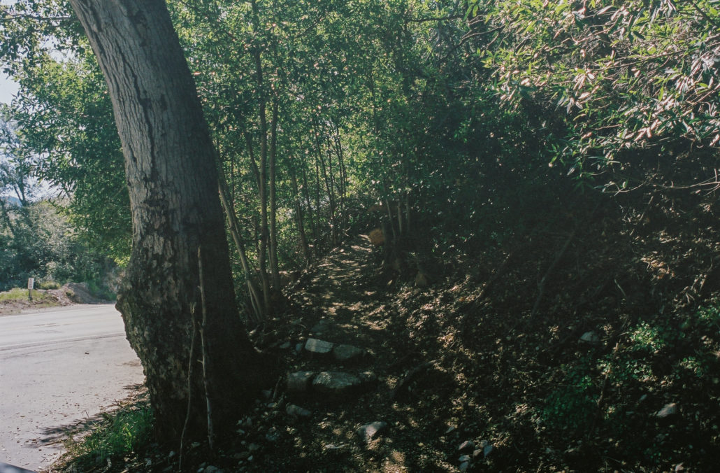
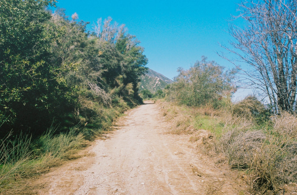
The start of the Old Dark Canyon Trail. Shot on Kodak Portra 400 film.
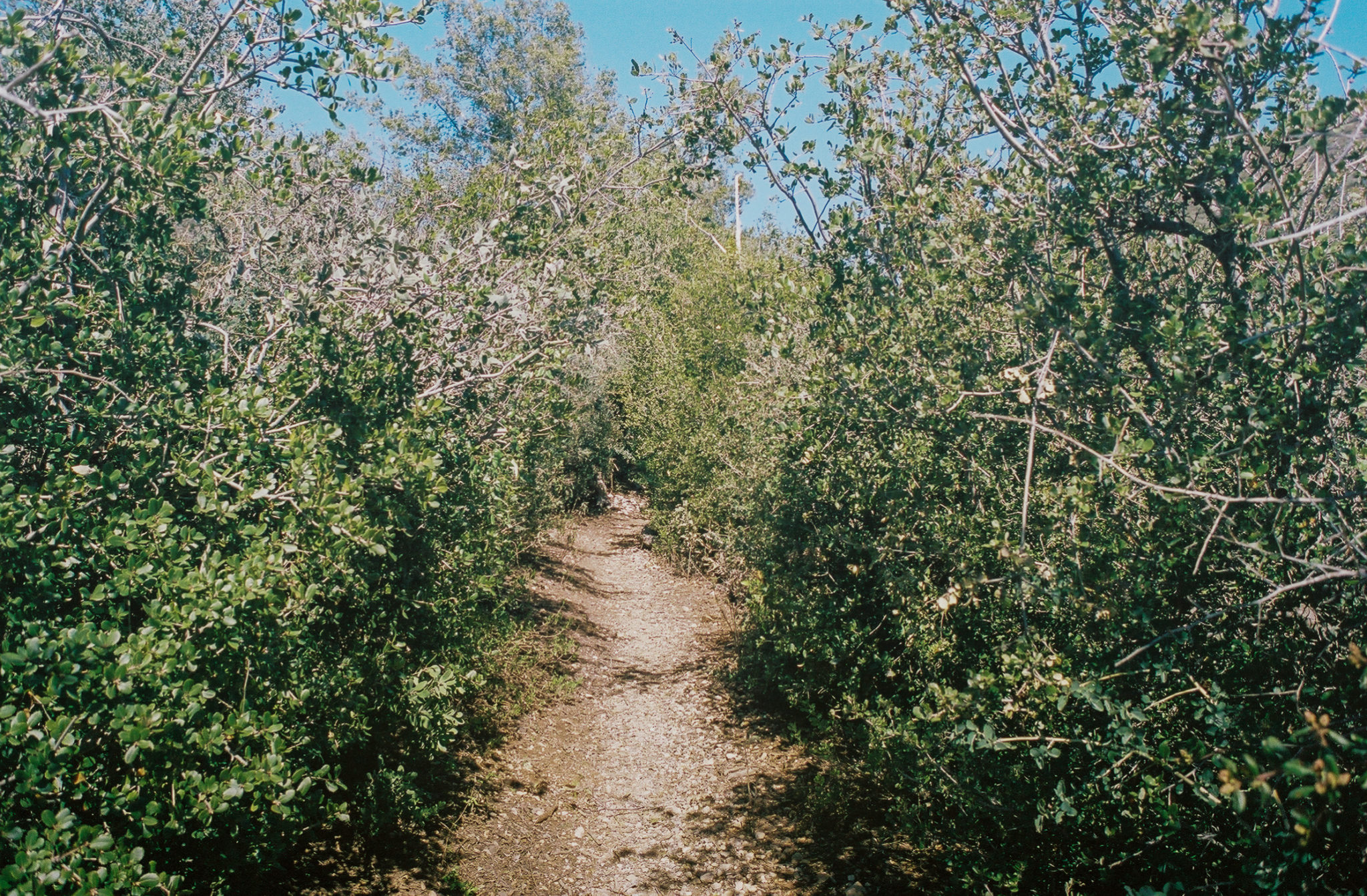
The first section of this hike, which I later learned was along the Old Dark Canyon Trail, was surprisingly pleasant. While you’ll gradually climb along several switchbacks, the incline never is too straining. And the path was well-groomed, especially for a lightly traveled trail. It’s easy to make a wrong turn though, so be sure to pay attention to your steps. There are also logs blocking off several offshoot trails to help guide hikers.
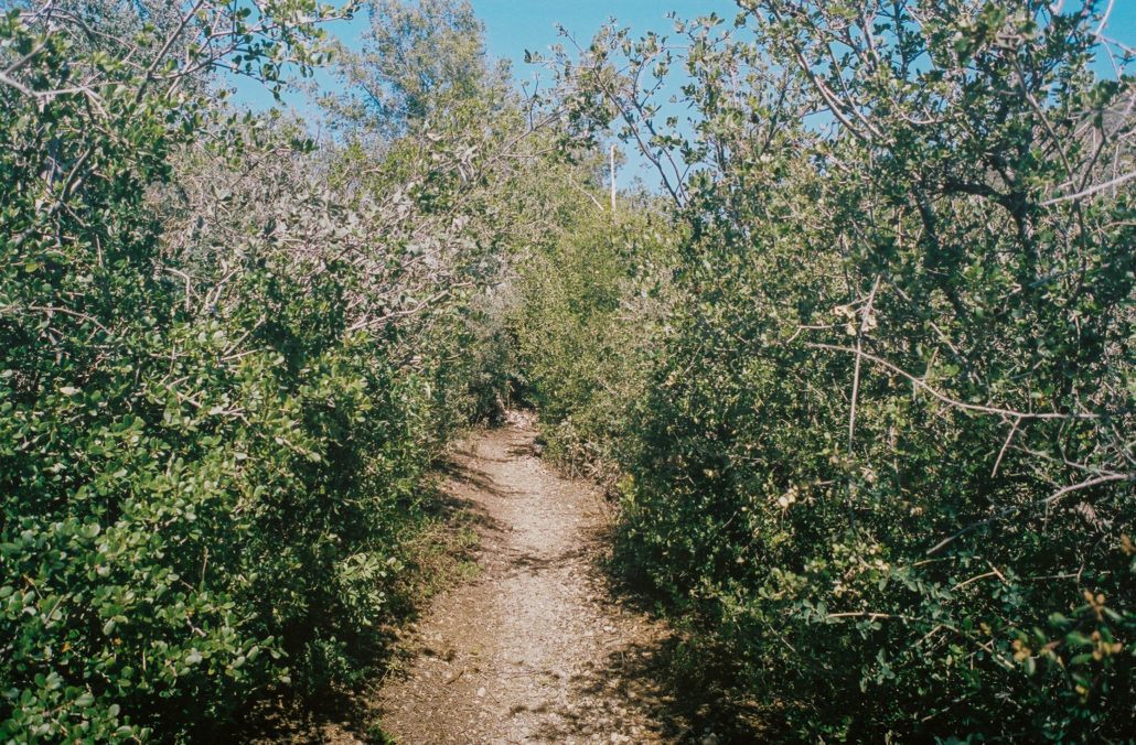
The unexpectedly well-maintained Old Dark Canyon Trail. Shot on Kodak Portra 400 film.
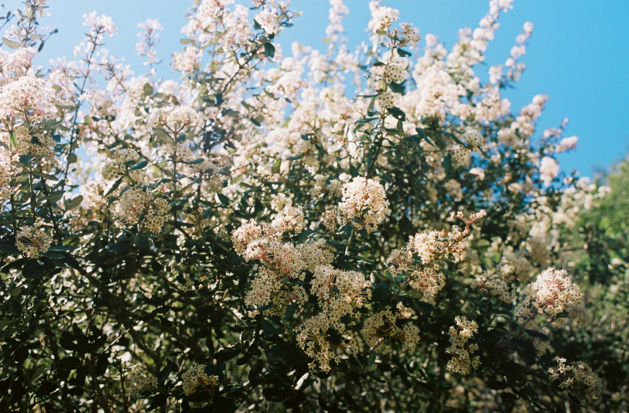
Plenty of greenery graced us on our uphill journey. On both sides of the trail, we saw Hoaryleaf Ceanothus blooming, along with other Chapparal commonly found in the San Gabriel mountains. The flora didn’t dominate our views, however, and we were able to consistently catch glimpses of Highway 2 and several peaks to our east. As you approach the half-mile point, the trail starts to get a more alpine feel with both young and old pine trees popping up.

Hoaryleaf Ceanothus blooming along the Old Dark Canyon Trail. Shot on Kodak Portra 400 film.
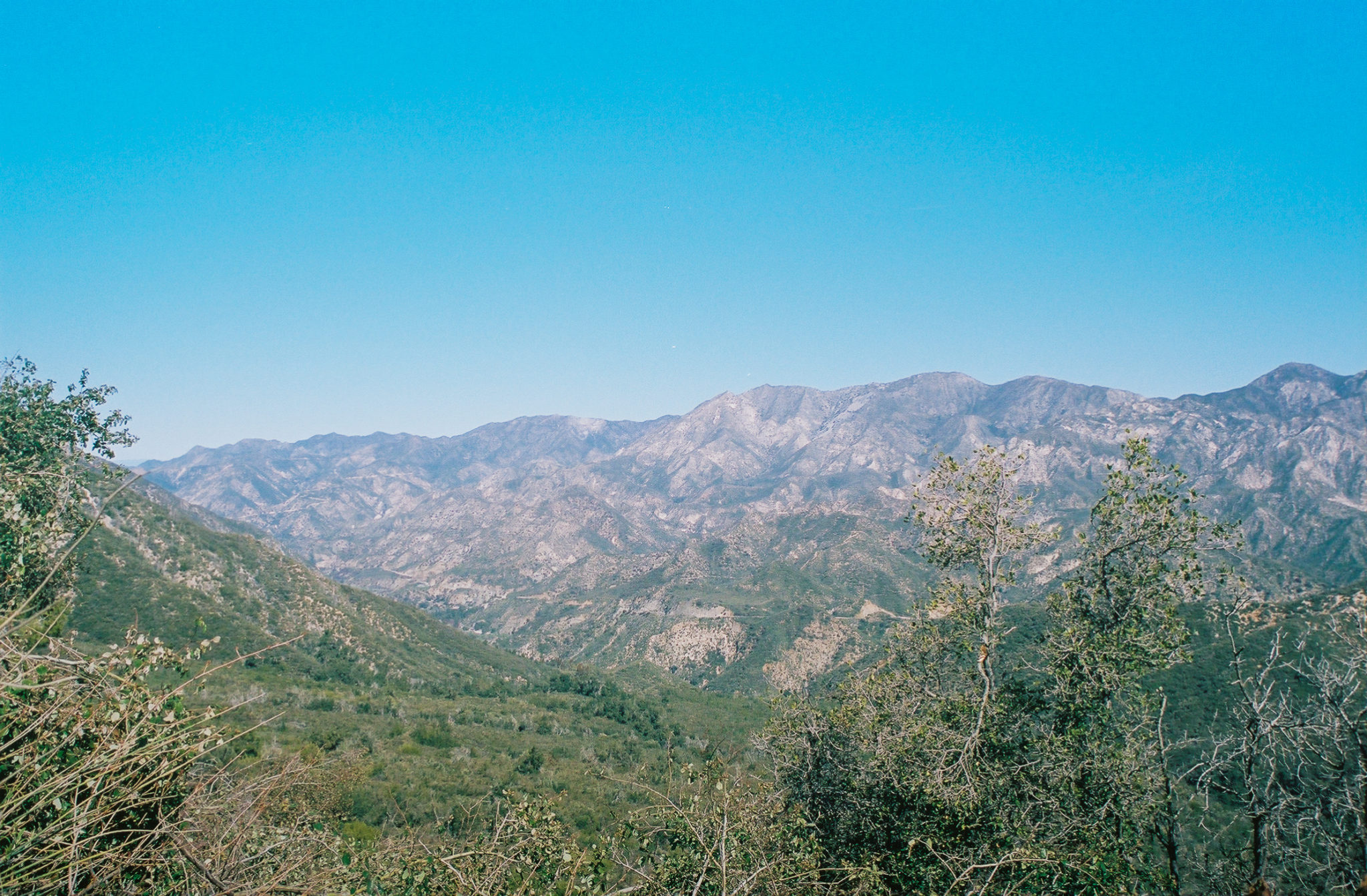
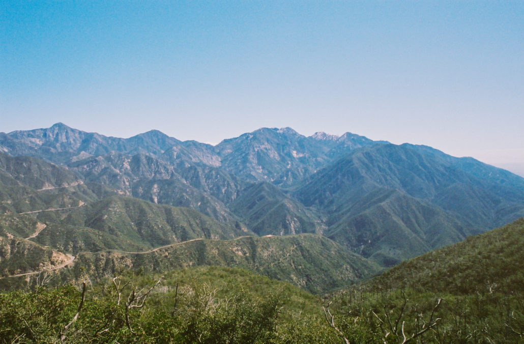
At 0.6 miles you’ll reach a saddle that marks the end of the Old Dark Canyon Trail. Take the left-most path, known as the Grizzly Lukens Fire Road, to continue your journey to Mount Pickens. It’s also here where the interior San Gabriel Mountains and Big Tujunga Canyon first become visible.

The interior San Gabriel Mountains and Big Tujunga Canyon from the Grizzly Lukens Fire Road. Shot on Kodak Portra 400 film.
This section of trail widens significantly and becomes much cooler and shadier. It also continues to climb, albeit much more gradually, which coupled with stunning views of the peaks around you makes for some easy and pleasant hiking. Moments of solitude and peace are also likely – with some brief interruptions from mountain bikers flying by every so often.
Forest Road 2N80, also known as Grizzly Lukens Fire Road, was pleasant and (mostly) peaceful. Shot on Kodak Portra 400 film.
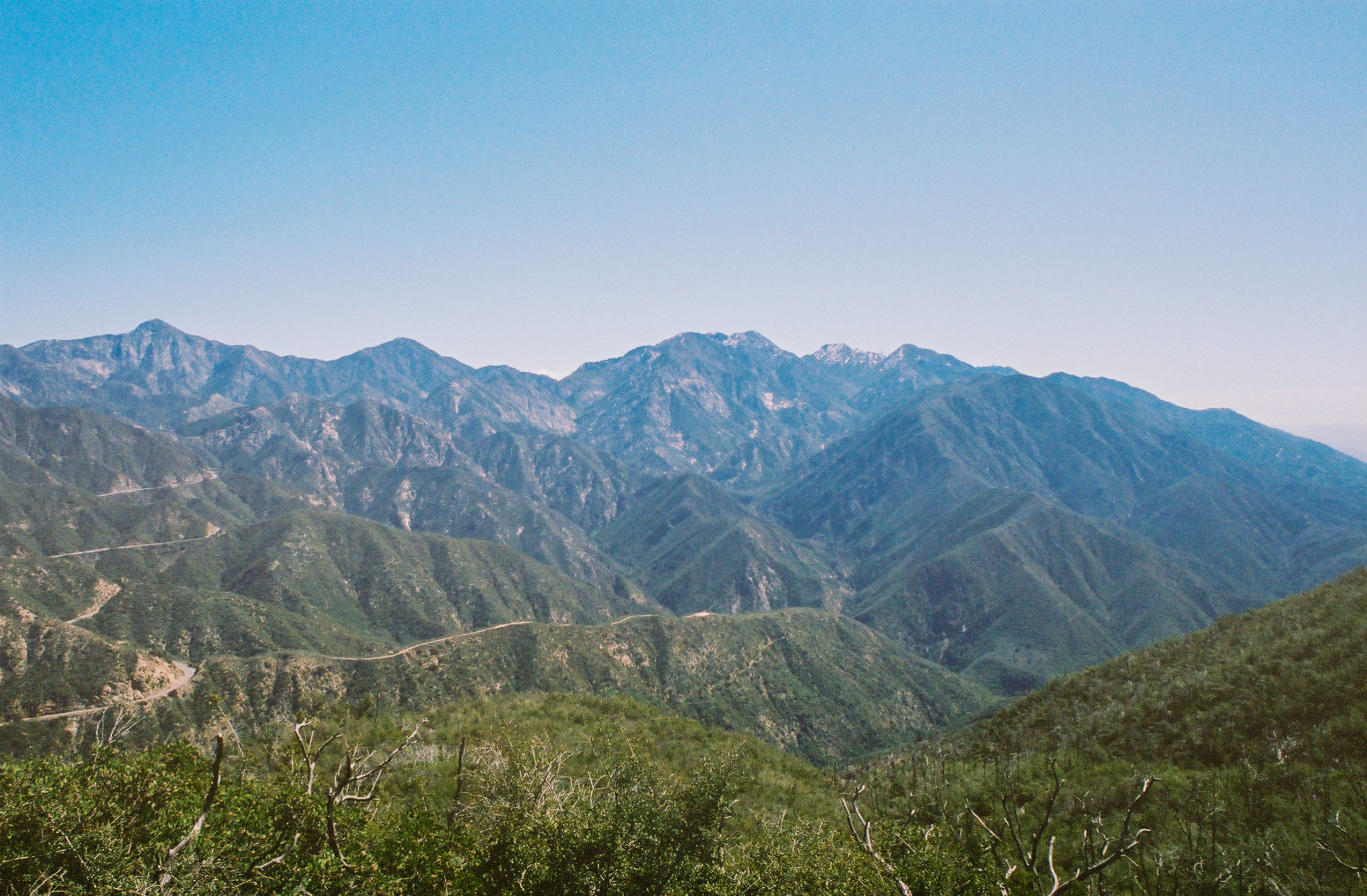
After two miles, the San Gabriel Valley and Highway 2 come back into view to the south. To the east, we saw Mount Wilson and Mount Baldy, both covered in snow at the time. It was also around here when we encountered our first Chapparal Yucca, a San Gabriel Mountains staple.
Highway 2 and the San Gabriel Mountains to our east from the Grizzly Lukens Fire Road. Shot on Kodak Portra 400 film.
At mile 2.6, you will reach another saddle where several trails meet. Take the fire road to your left to stay on the correct path. But before you do, set your gaze to the southwest to admire the now-visible city of La Crescenta and its surrounding communities.
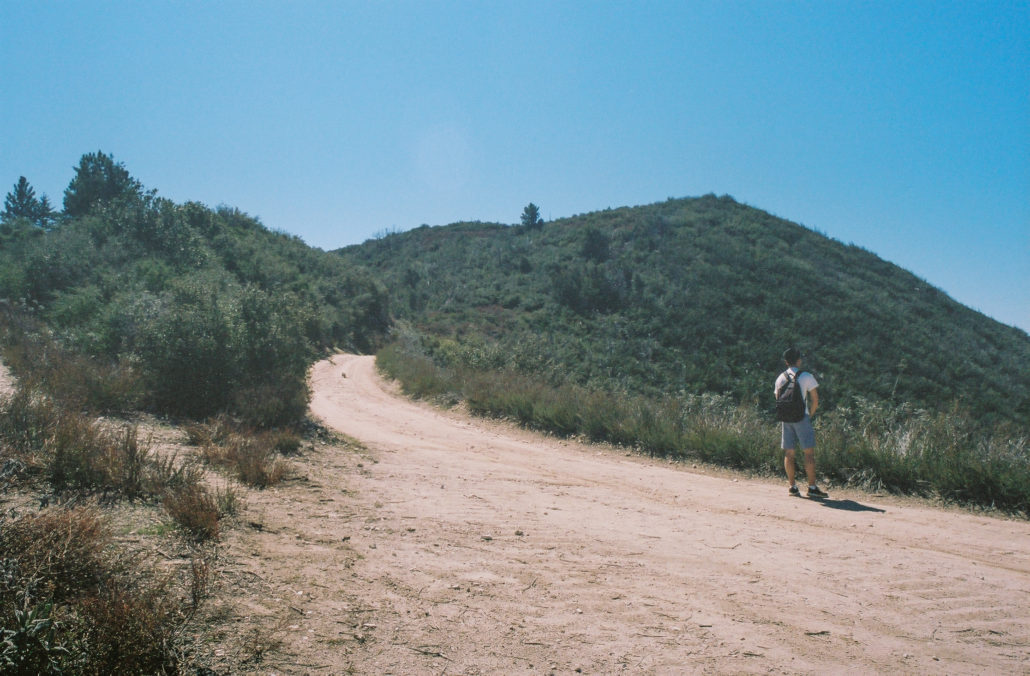
The start of your hike along Mt. Lukens Fire Road. Shot on Kodak Portra 400 film.
La Crescenta and its surrounding communities from the San Gabriel Mountains. Shot on Kodak Portra 400 film.
Now hiking on Mt. Lukens Fire Road, be sure to cherish these last moments of easy hiking. At mile 3.2, you will encounter an intersection with several other trails. However, you won’t be taking any of them – instead, you’ll climb the northwest ridgeline to reach Mount Pickens summit. We changed into pants and began our ascent.
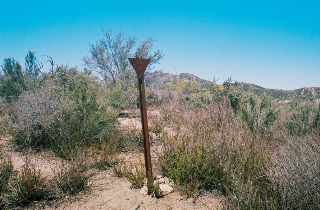
This unmarked sign on Mount Picken’s ridgeline indicates you’re on the correct path to the top. Shot on Kodak Portra 400 film.
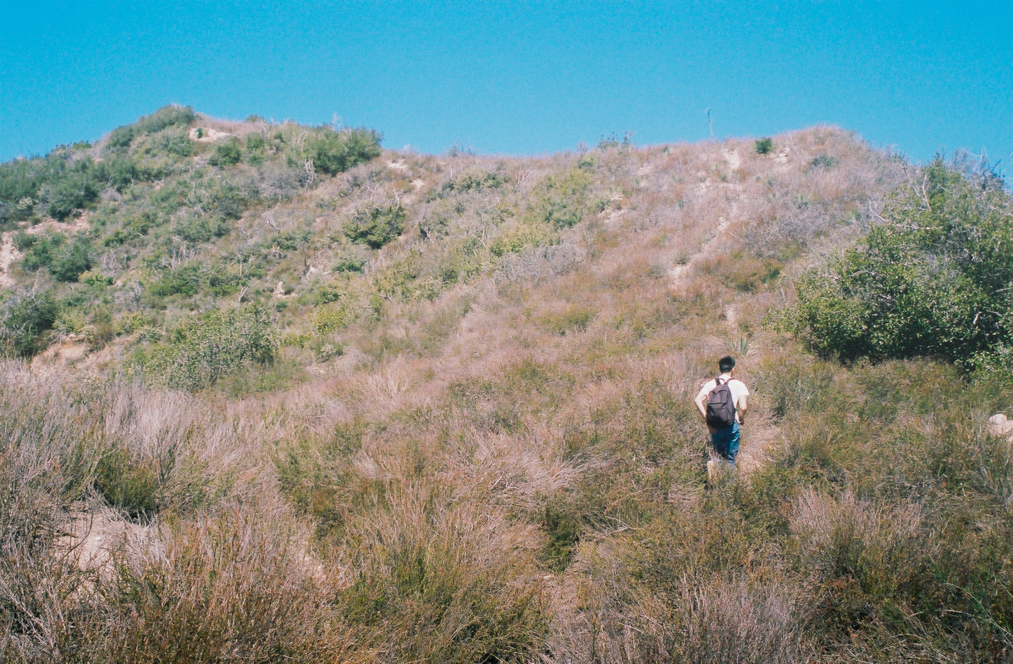
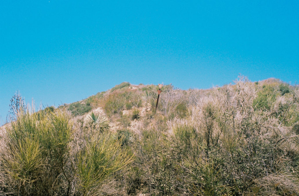
I will be the first to admit that I underestimated the difficulties of this off-trail section. The ascent wasn’t overly technical, and navigation was straightforward – we followed the ridgeline to the top, and the climb, while steep, required at most class 2 scrambling (that said, trekking poles are helpful here). The biggest challenge was the amount of bushwhacking we needed to do. Think Strawberry Peak or Hoyt Mountain but with the amount of brush turned up many notches. We constantly were traversing through knee-to-waist high thickets, which included the Chapparal Yucca’s piercing leaves (they are also known as ‘Spanish bayonet’ for very good reason) and the Chapparal Whitethorn’s thorny branches. Even with pants on, the overgrowth still found ways to break skin.

Traversing Mount Picken’s unforgiving ridgeline to the summit. Shot on Kodak Portra 400 film.
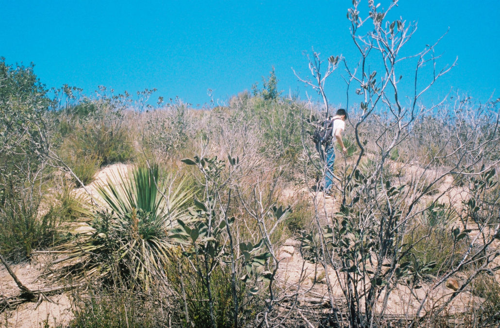
Chapparal Yucca and Chapparal Whitethorn proved to be our biggest adversaries of the day and our legs are still cursing us for what they endured. Shot on Kodak Portra 400 film.
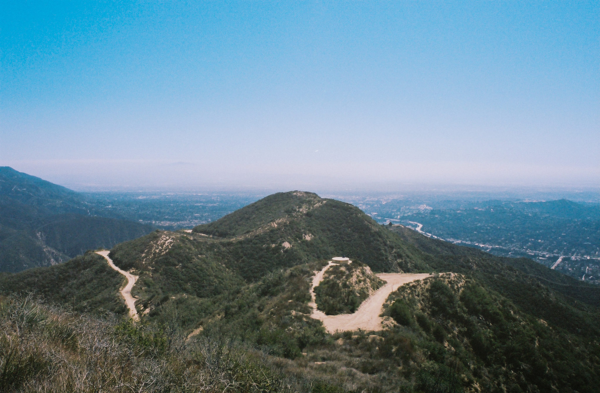
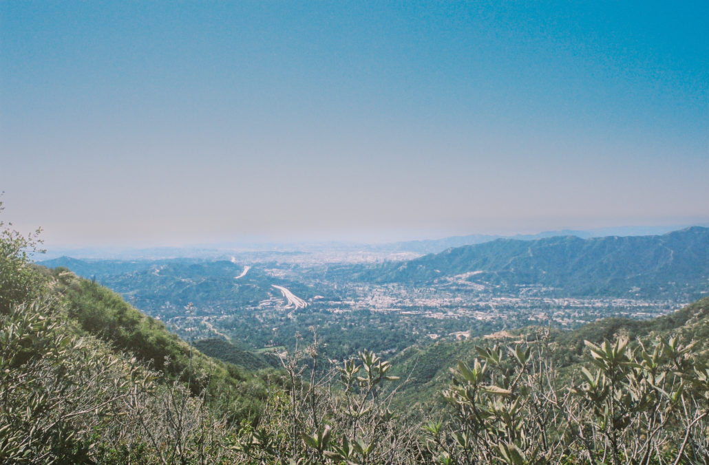
After trudging through 0.5 off-trail miles, we were relieved to finally find an unmarked sign and a summit register, signifying that we reached the 4,223-foot peak. Sadly, like the rest of the mountain, foliage blocks otherwise clear views of the Los Angeles area. But because of its obscurity, our time at the top was peaceful and quiet – birds chirping and the low hum of the cars driving along the freeways below were the only sounds we heard.
You will find a similar unmarked sign as before on the summit of Mount Pickens, along with a small peak register. Shot on Kodak Portra 400 film.
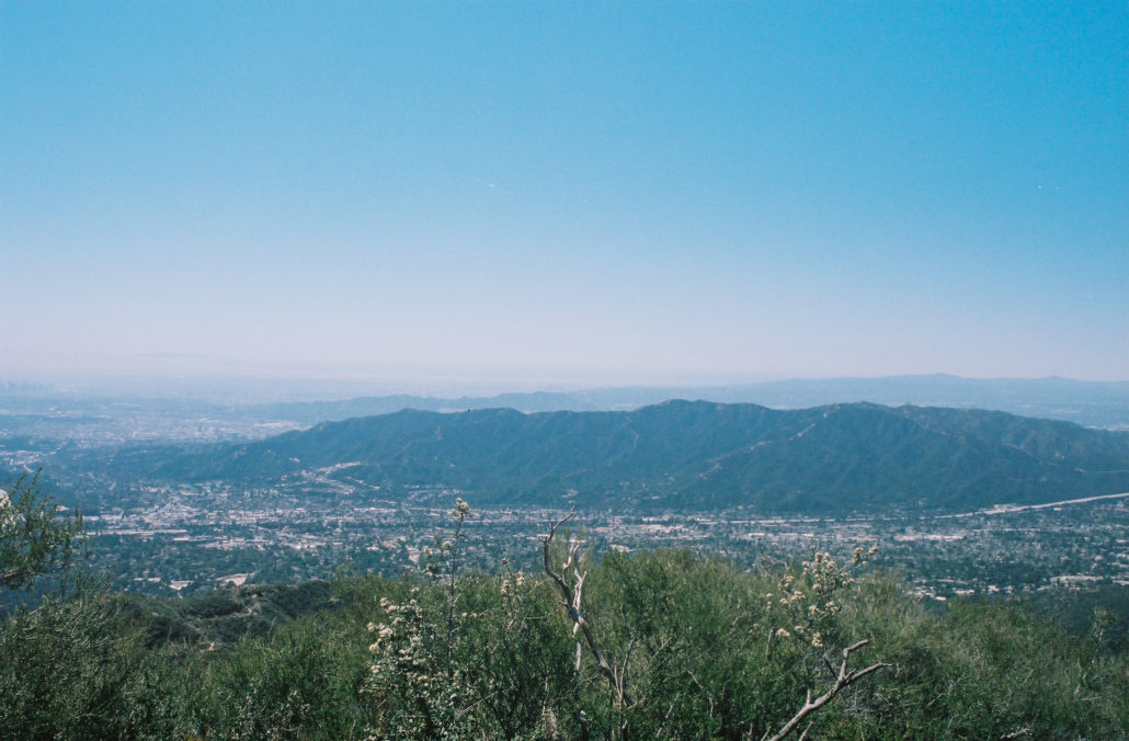
Views of the Verdugo Mountains and L.A. sprawl from the summit of Mount Pickens. Shot on Kodak Portra 400 film.
We rested for it bit then retraced our steps to slowly and carefully descend back down the mountain. Rejoining the trail, we changed back into shorts and headed back the way we came to finish the hike, thankful to once again be back on well-maintained, brush-free ground.

The slow descent down the ridgeline and back to well-maintained trail. Shot on Kodak Portra 400 film.
Tags: Angeles National Forest, bushwhacking, exposed, Los Angeles County, Mount Pickens, multi-use trail, off-trail, San Gabriel Mountains, single-track trail