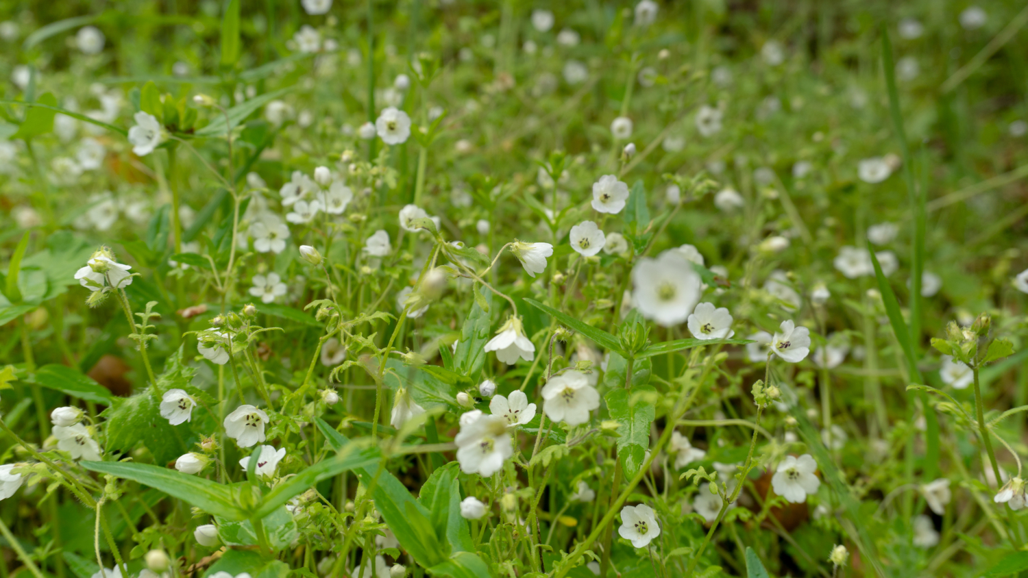
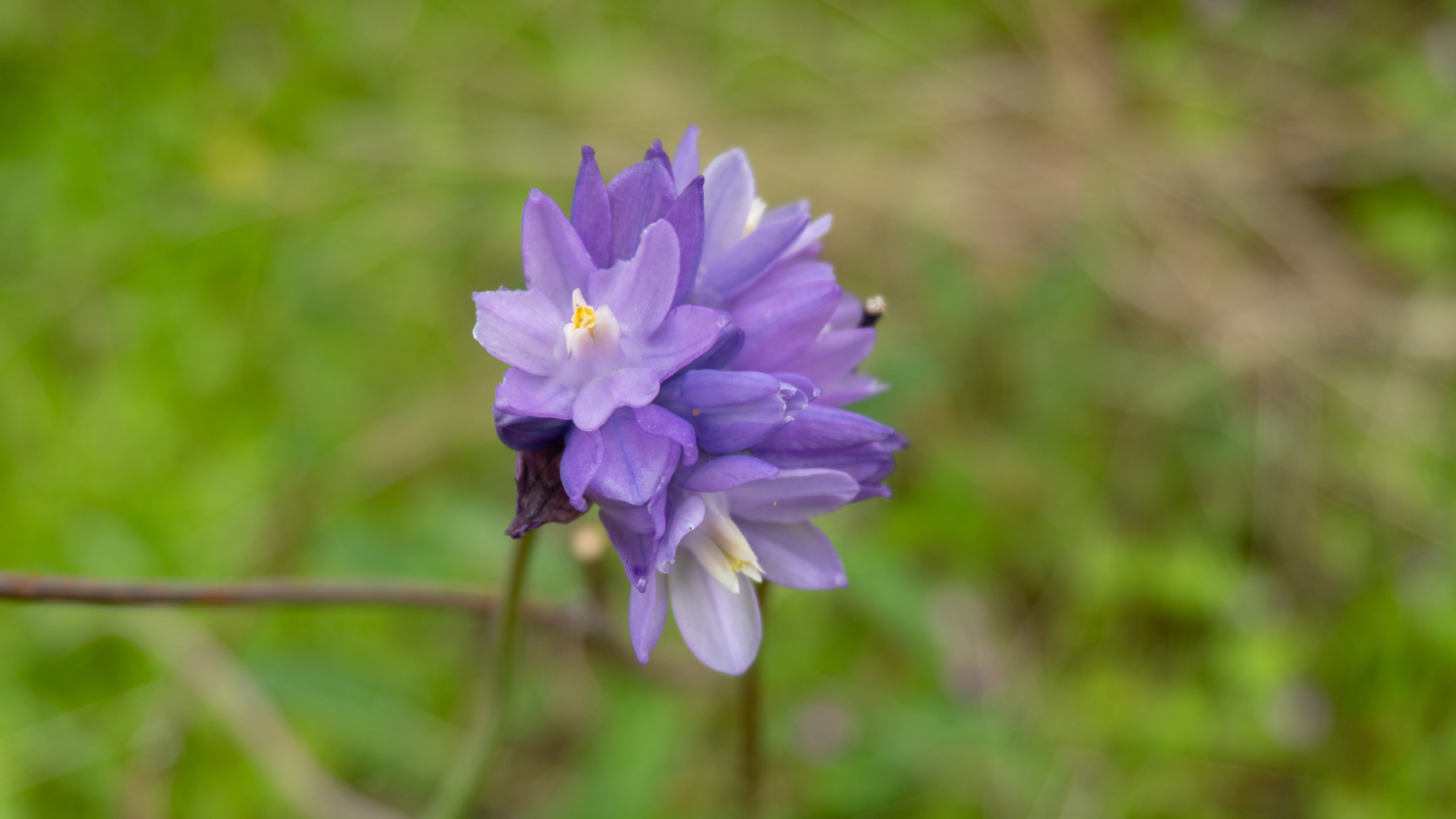
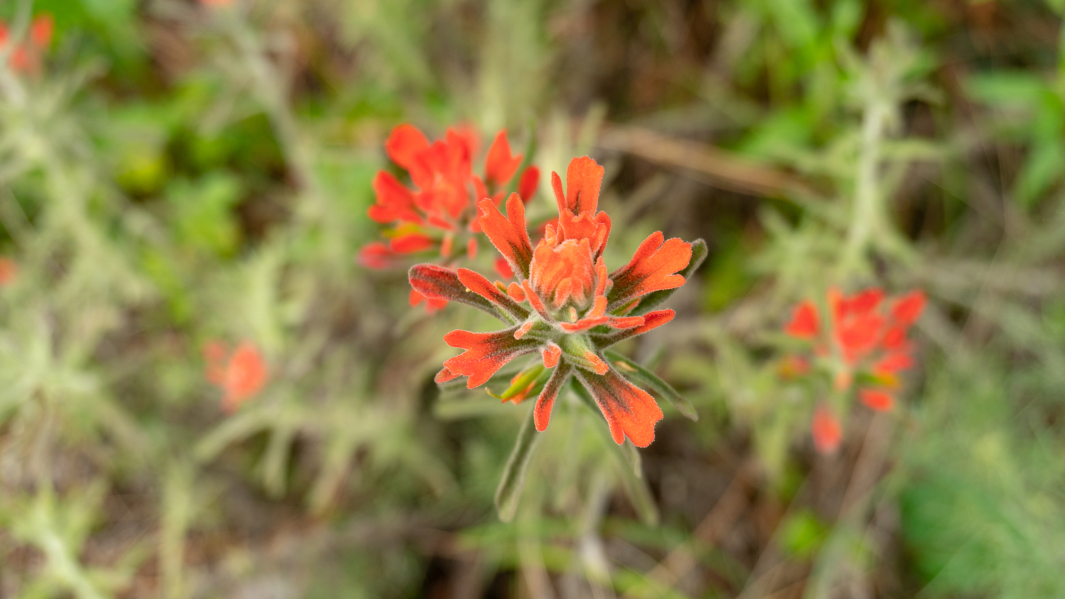
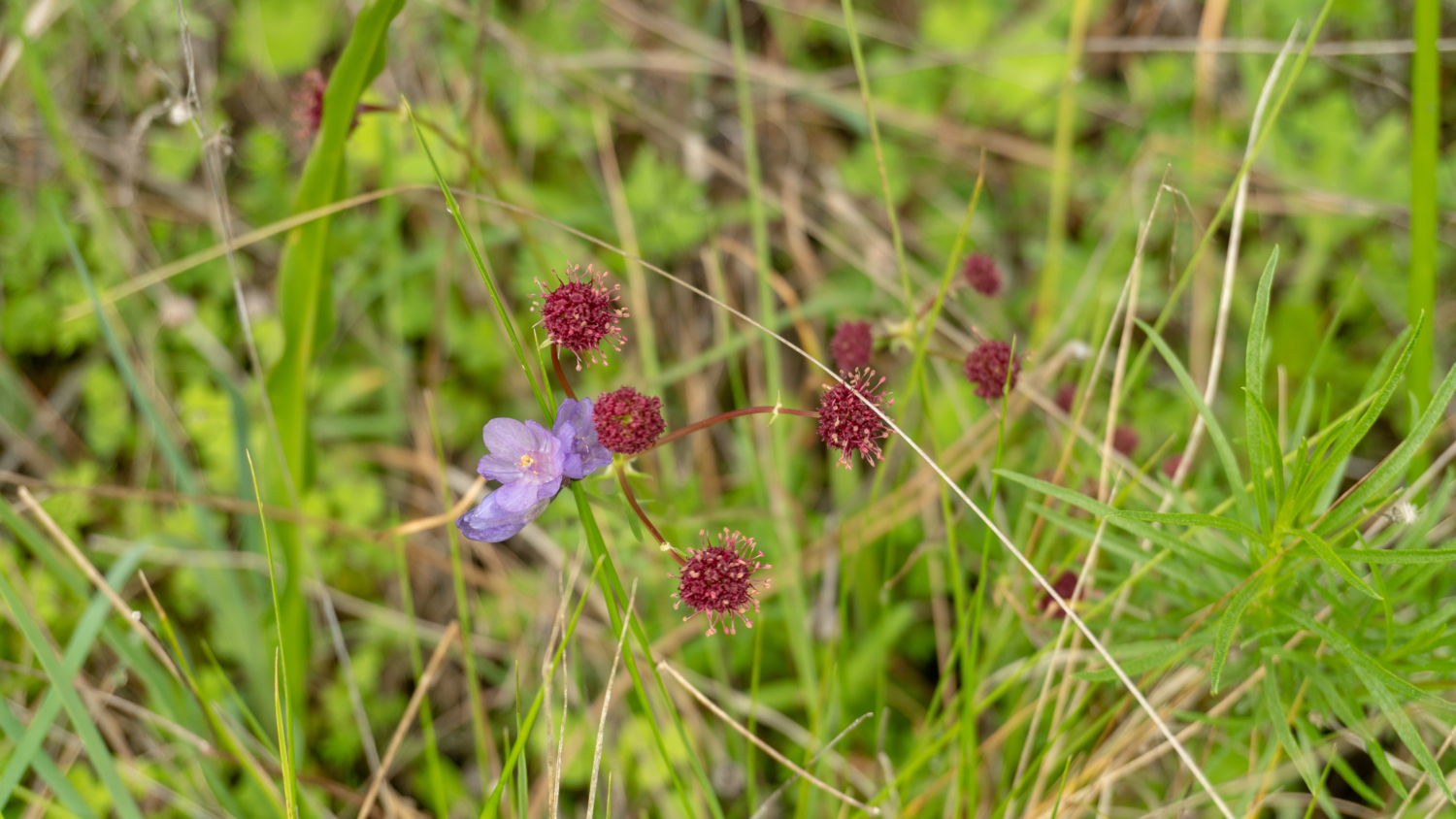
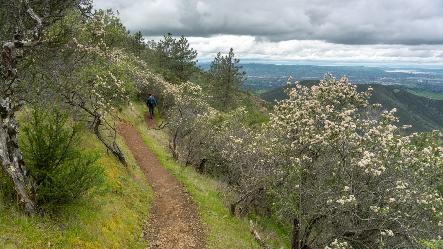
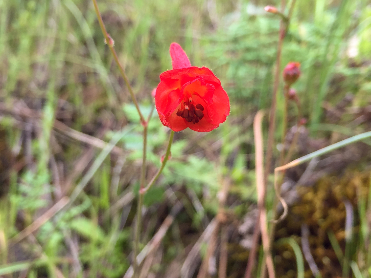
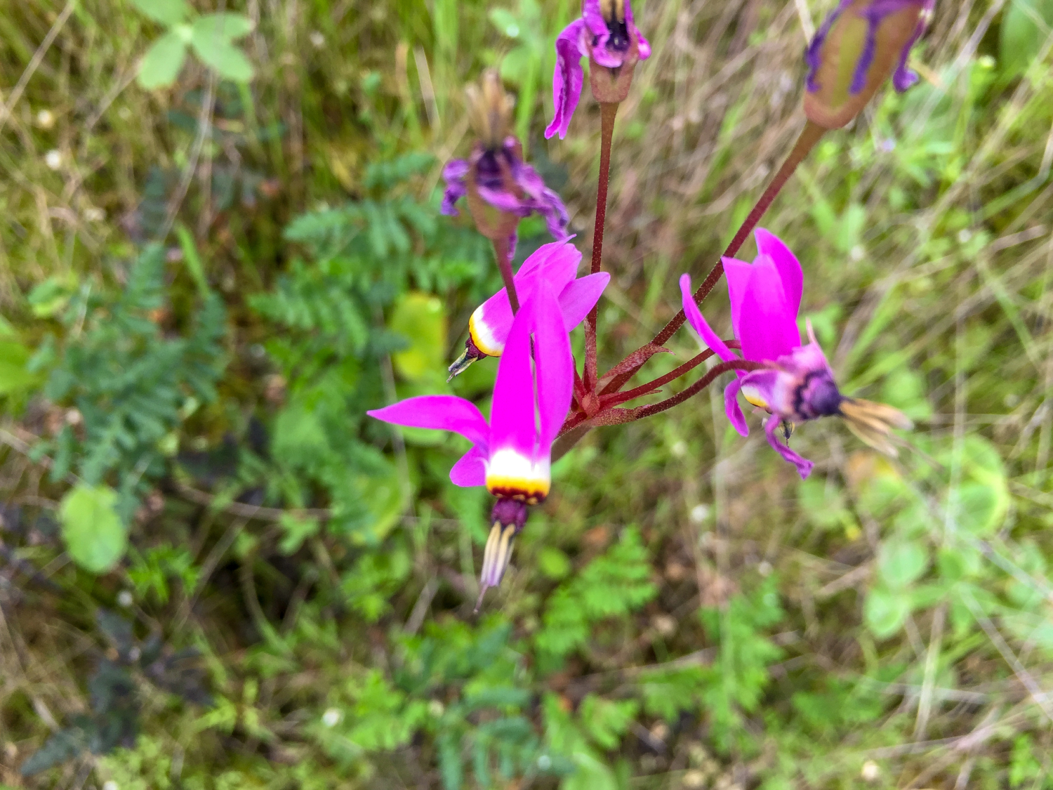
Eagle Peak via Mitchell Canyon is a classic loop on the north side of Mount Diablo bursting with wildflowers and oak-rippled canyons. On a clear day, you can see Mount Tamalpais to the northwest and in springtime, the slopes become electrified in purples, reds, yellows, and blues. It is a challenging day hike, and Eagle Peak is located two-thirds of the way through this loop at the 5.5-mile mark.

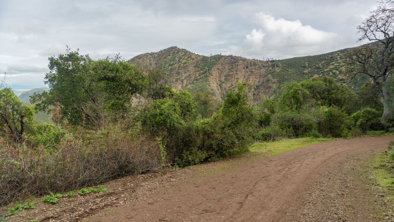
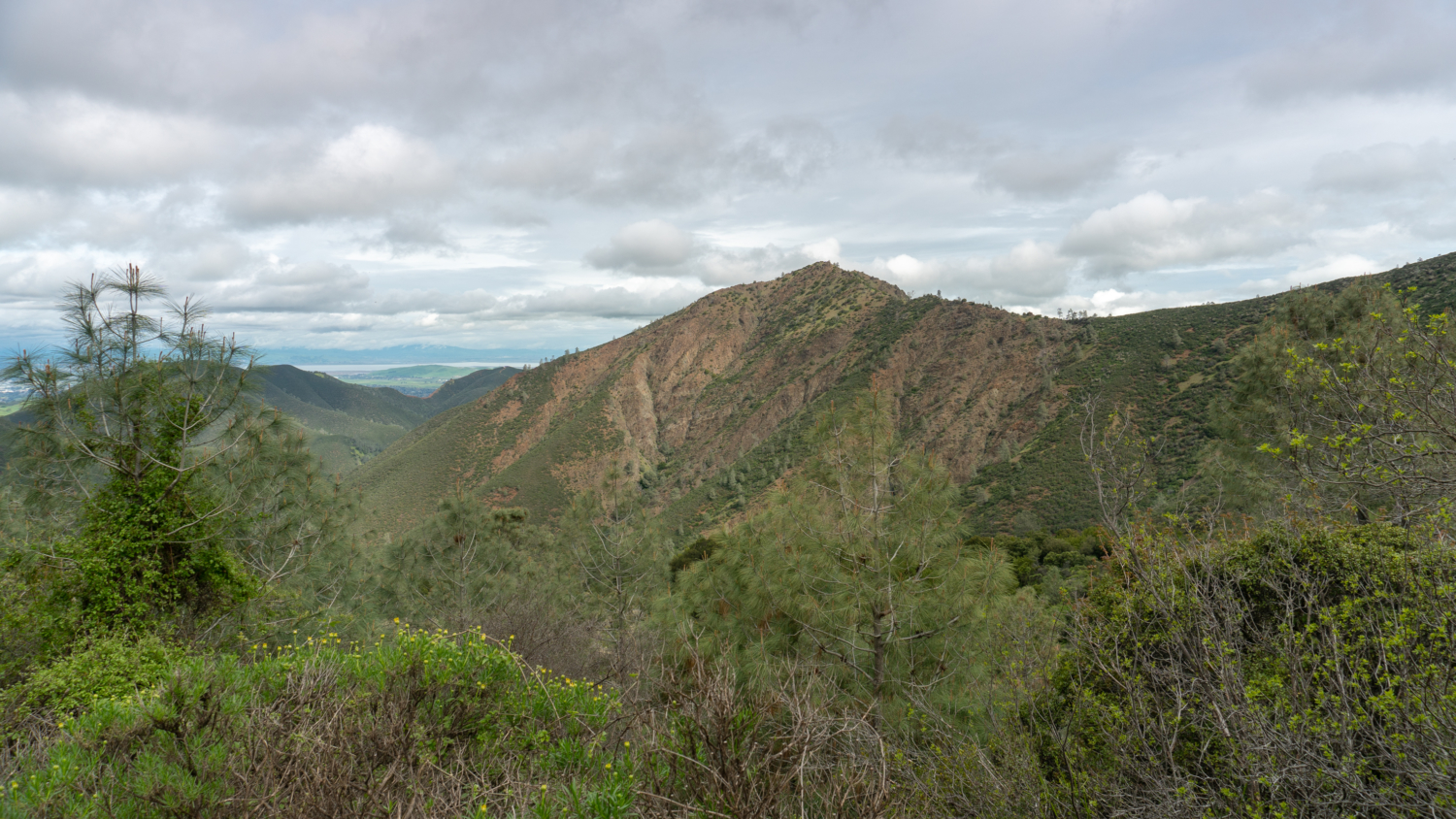
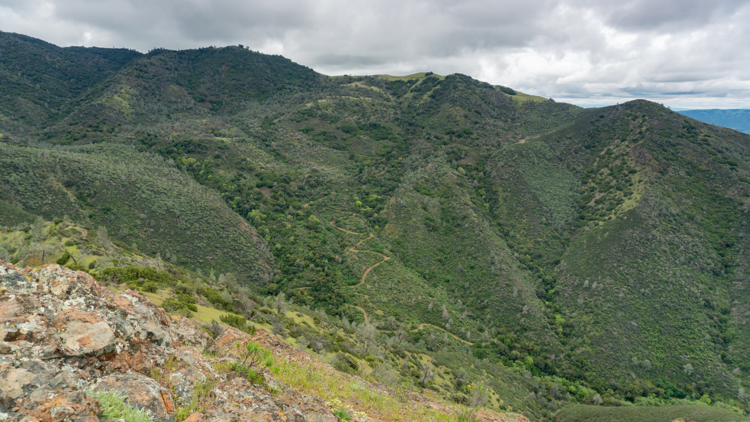
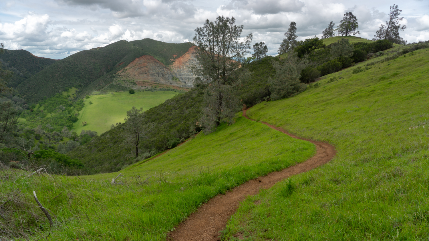
Mitchell Canyon Road zigzags out of Mitchell Canyon below Olofson Ridge. View from Eagle Peak.
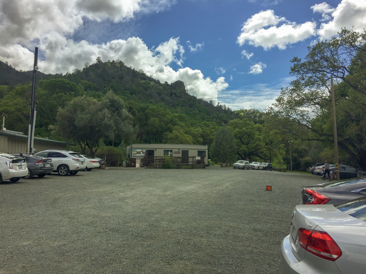
Begin at the Mitchell Canyon Visitor Center, a nondescript tan container typically open on weekends. Here you can find out what is blooming during wildflower season, pick up a map, or just check in with a ranger or volunteer about park conditions. Group hikes in Mitchell Canyon begin here, too. You can see a schedule of hikes on MDIA’s website under the Events page.
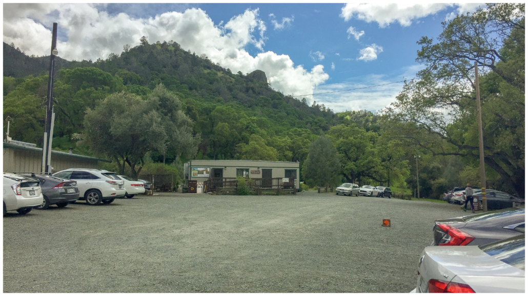
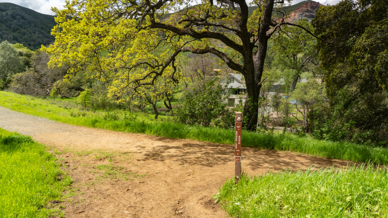
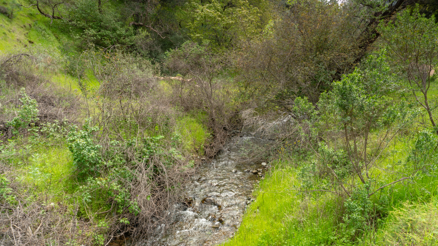
Head south onto Mitchell Canyon Fire Road. On your left, just past the gate, are free interpretive brochures that correspond to numbered signposts along Mitchell Canyon Road. Mitchell Creek runs parallel to the road among blue oak, coast live oak, and coyote brush, carving a path south through the canyon. It is common to see mountain bikers, runners, and even equestrians on this relatively flat stretch on sunny weekends.

The Mitchell Canyon Trailhead and fire road surrounded by vibrant greens in spring.
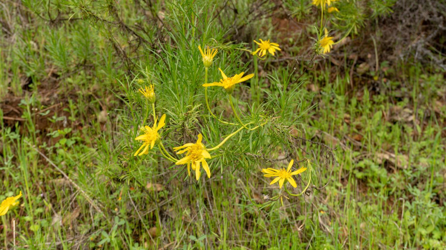
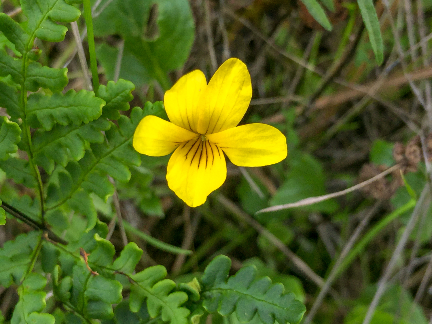
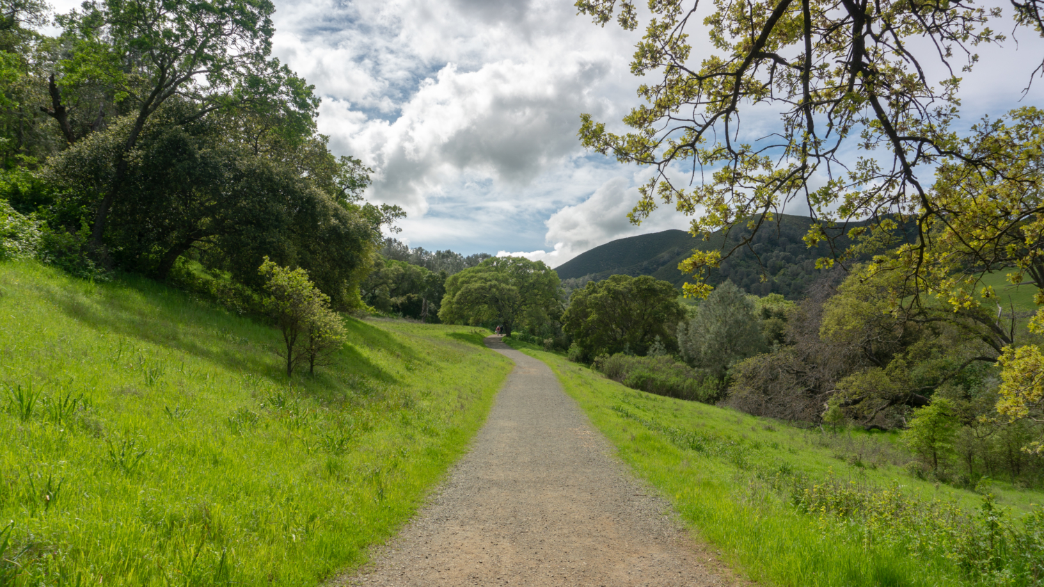
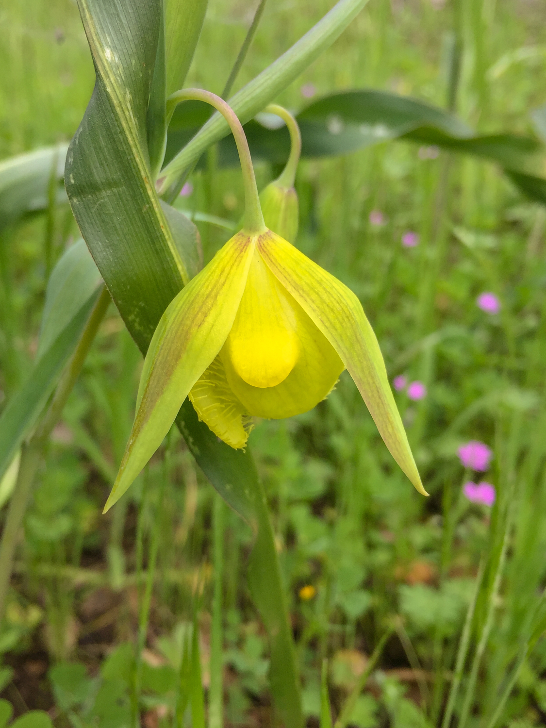
In 0.6 miles, turn right onto the Black Point Trail and in 250 feet, turn left onto the Globe Lily Trail. The 0.5-mile single-track trail parallels Mitchell Canyon Road, with slope-side views of Mitchell Canyon, narrow-leaf golden bush, Indian paintbrush, and California poppy. Keep your eyes peeled for the trail’s namesake flower, the Mount Diablo globe lily, a yellow flower whose petals form a tear-drop shape that’s only found in California. At the end of the Globe Lily Trail, turn left and then make a quick right to rejoin the Mitchell Canyon Road south towards Deer Flat.

The Globe Lily Trail is an alternative to staying on Mitchell Canyon Road, running parallel to it on a beautiful single-track.
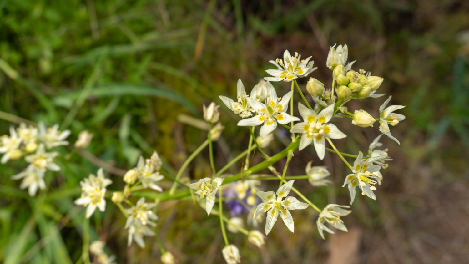
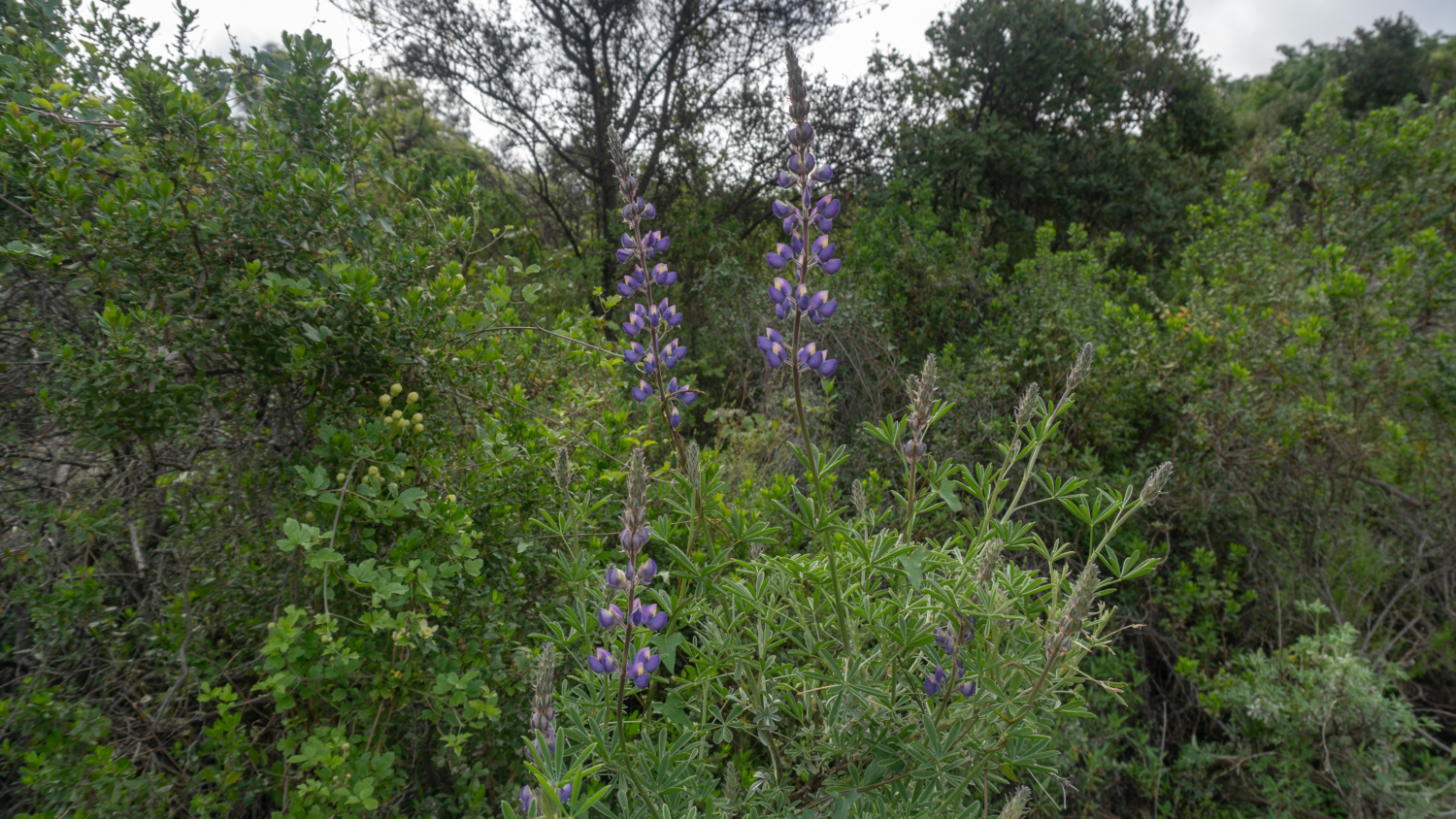
After rejoining Mitchell Canyon Road at 1.2 miles, the trail stays at a gentle incline beside Mitchell Creek. In a little over a mile, the steep climb out of Mitchell Canyon begins, gaining 1,000 feet over the next 1.5 miles to Deer Flat. Lupine, Fremont’s star lily, and California saxifrage peek out from the chaparral, along with Eagle Peak to the northeast.
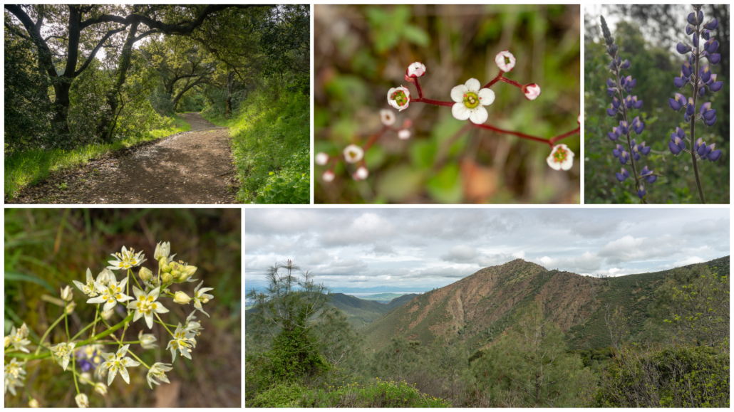
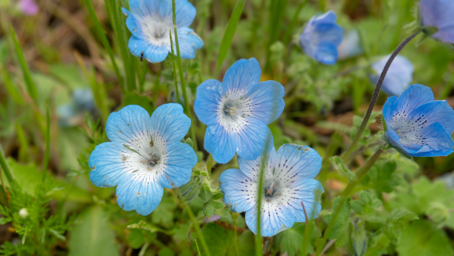
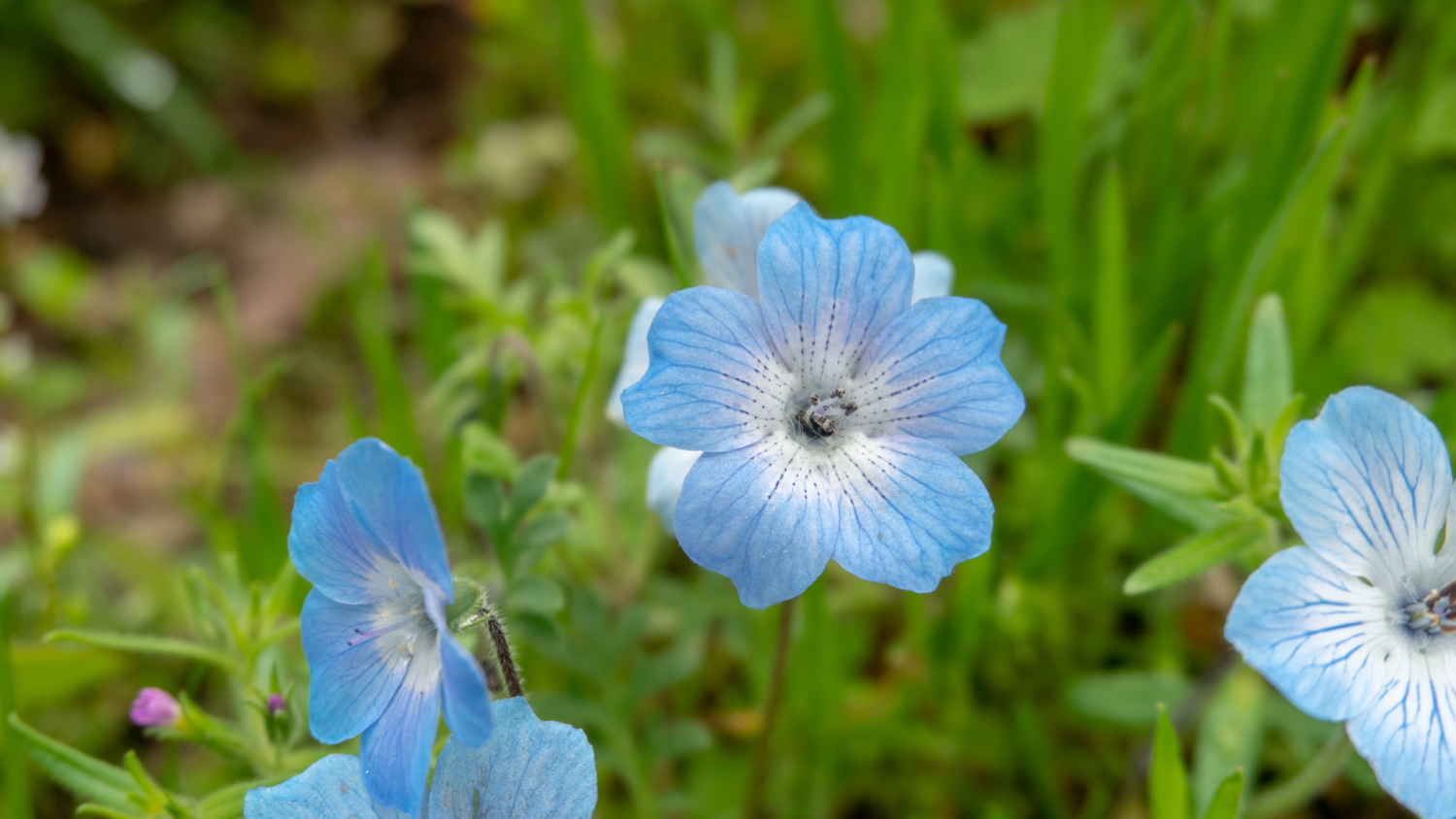
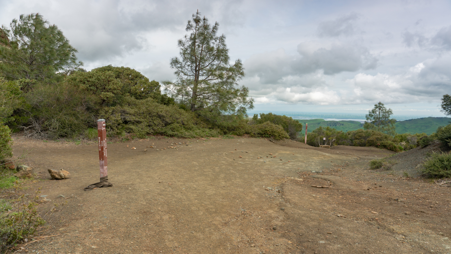
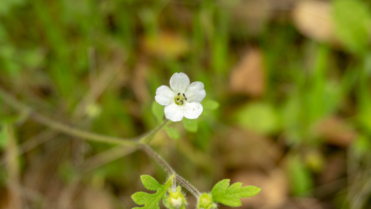
Reach Deer Flat at 3.9 miles. Just beyond it, turn left at a Y-junction onto Meridian Ridge Road towards Murchio Gap. A smattering of baby blue eyes brightens the trail in spring, and as you descend, you have a gorgeous vista of Bald Ridge rising above the trail. Descend 130 feet to a stone crossing over Deer Flat Creek, regaining the elevation to reach Murchio Gap at 4.7 miles and 2330 feet. Whew! Although you still have a few hundred feet to climb, the majority of the steep, fire-road climbing is finished.

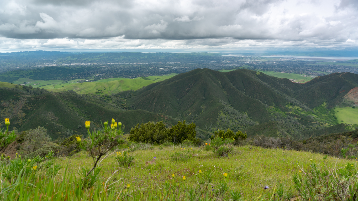
Turn left onto the Eagle Peak Trail, heading north towards Eagle Peak. The single-track trail is dry and rocky as you climb a small ridge, and then in true Mount Diablo style, it drops over 250 feet before regaining it to the peak. No matter, the ridgeline views are some the best in the park: waves of green foothills rolling down the ridge, pine-framed views of Eagle Peak, and, in spring, the rare Mount Diablo jewel flower blooming among the rocks.

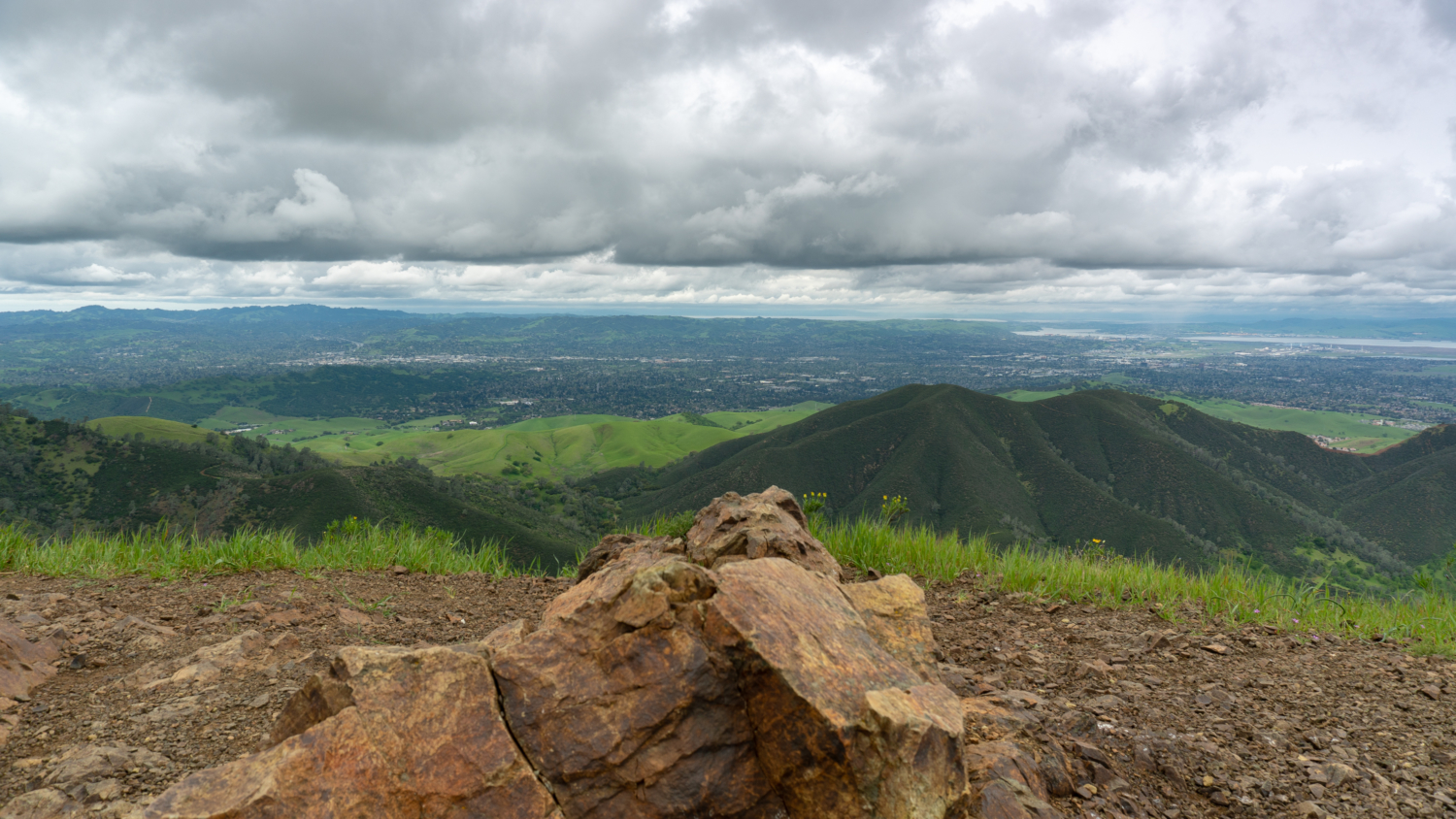
After one last stretch of steep rock, reach Eagle Peak at 5.5 miles and 2,369 feet. Rock outcrops here make great sites for picnicking, with views northwest of Mount Tamalpais on a clear day and the Mount Diablo foothills. Behind you to the south is the M-shaped outline of North Peak and Mount Diablo summit, where you can just make out the summit beacon.
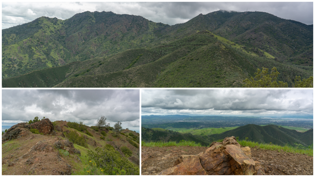
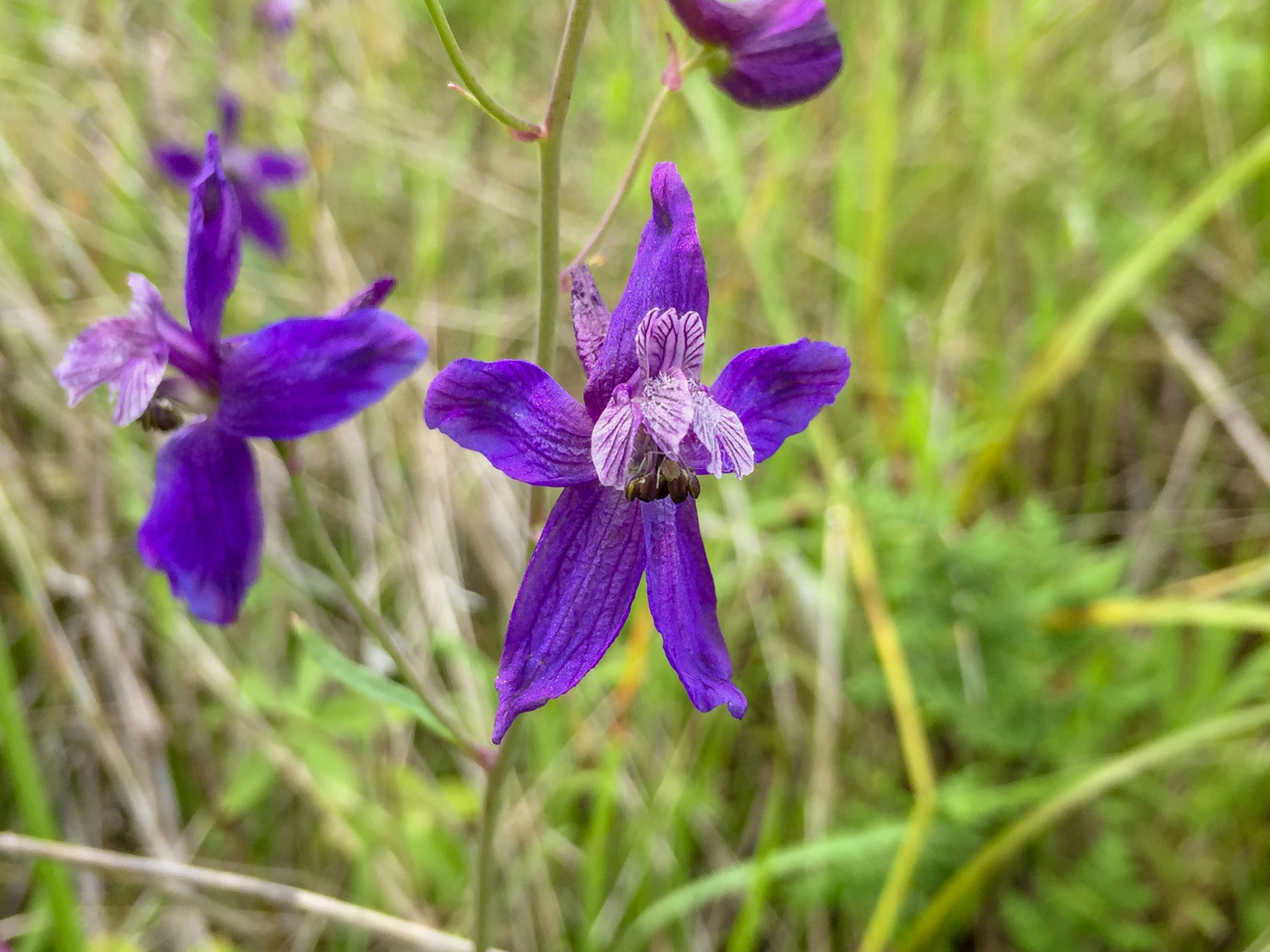
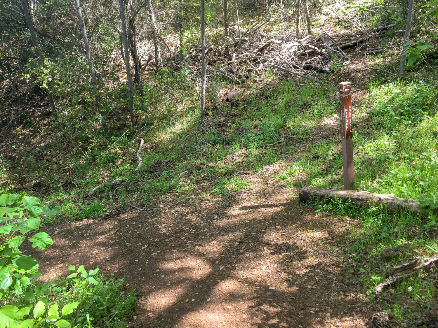
Hike north along the ridge past Eagle Peak, staying straight onto the Mitchell Rock Trail at 6.4 miles. Pass Twin Peaks and Mitchell Rock on a sharp and rubbly descent, after which the trail transitions into packed down dirt. This section of gorgeous single-track switchbacks through grasslands of blue dicks, warrior’s plume, spreading larkspur, and the occasional checker lily.

Turn left onto Oak Road at 8.1 miles, heading west towards Mount Zion. In 0.2 miles, turn right to return to the trailhead. On weekends, when the Mitchell Canyon Visitor Center is open, it’s fun to stop in and talk with a friendly volunteer or ranger. They helped me spot Mount Diablo globe lilies and identify flowers I’d seen on the hike.

Plein air painters along Oak Road.
Notes:
- Mount Diablo State Park is open daily from 8:00 a.m. to sunset.
- There is a $6 fee to park at Mitchell Canyon entrance, cash or check only.
- The Mitchell Canyon Visitor Center is open weekends and some holidays from 9:00 a.m. – 3:00 p.m. November – February, and 8:00 a.m. – 4:00 p.m. March – October.
- The Mount Diablo Interpretive Association has a detailed topo map with all the trails, campgrounds, and entrances to the state park clearly marked. It’s a great investment and I highly recommend it. You can find it at sporting goods stores, on the MDIA’s website, and on Amazon.
- The MDIA has a helpful wildflower identification guide and blooming report on their Wildflower Guide page.
- Dogs are not allowed on trails in Mount Diablo State Park. Leashed dogs are allowed in developed areas of the park.
- Mountain bikes are allowed on paved roads, fire roads, and designated trails.
- Equestrians are allowed on trails in Mount Diablo State Park. Hikers yield to horses.
- Restrooms are located next to the parking lot, and there is a water spigot available for washing your boots.
Tarantulas
In late summer and early fall, male tarantulas scurry from their burrows in search of females, often popping up on park roads and wide, exposed fire roads. Despite their horror movie reputation, tarantulas are gentle and are not poisonous or dangerous to humans. Keep an eye out for their quarter–sized burrow entrances, often lined with silk, as well as their hairy brown bodies, about 4-5 inches long with 8 legs. After mating season, the males perish; however, females can live up to 25 years. A good time to try to see them is early morning and evening before sunset. Check event calendars for tarantula programs and guided hikes, often occurring in September and October.
Tags: Clayton, Mitchell Canyon, Mount Diablo, san francisco, wildflowers


