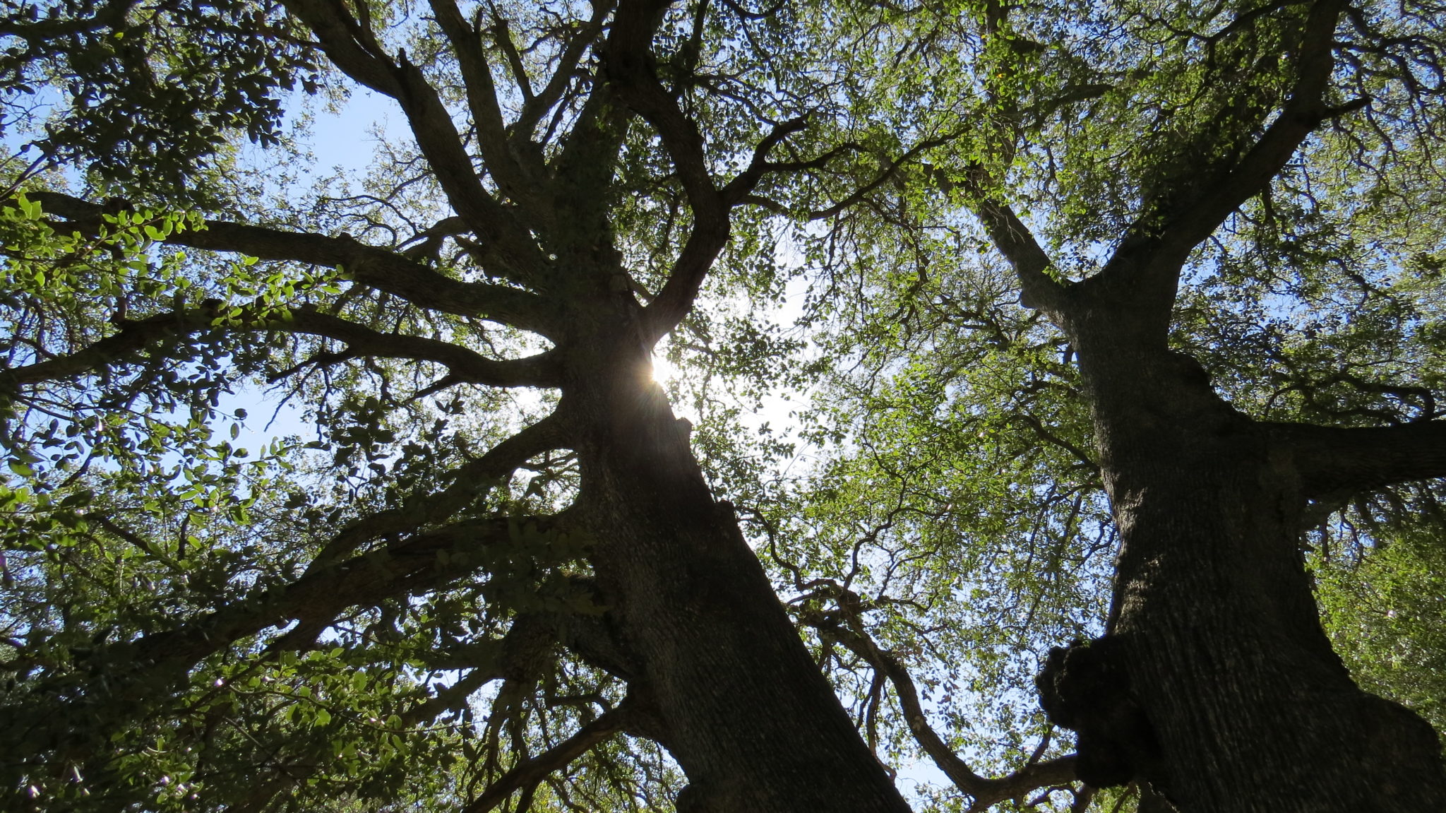
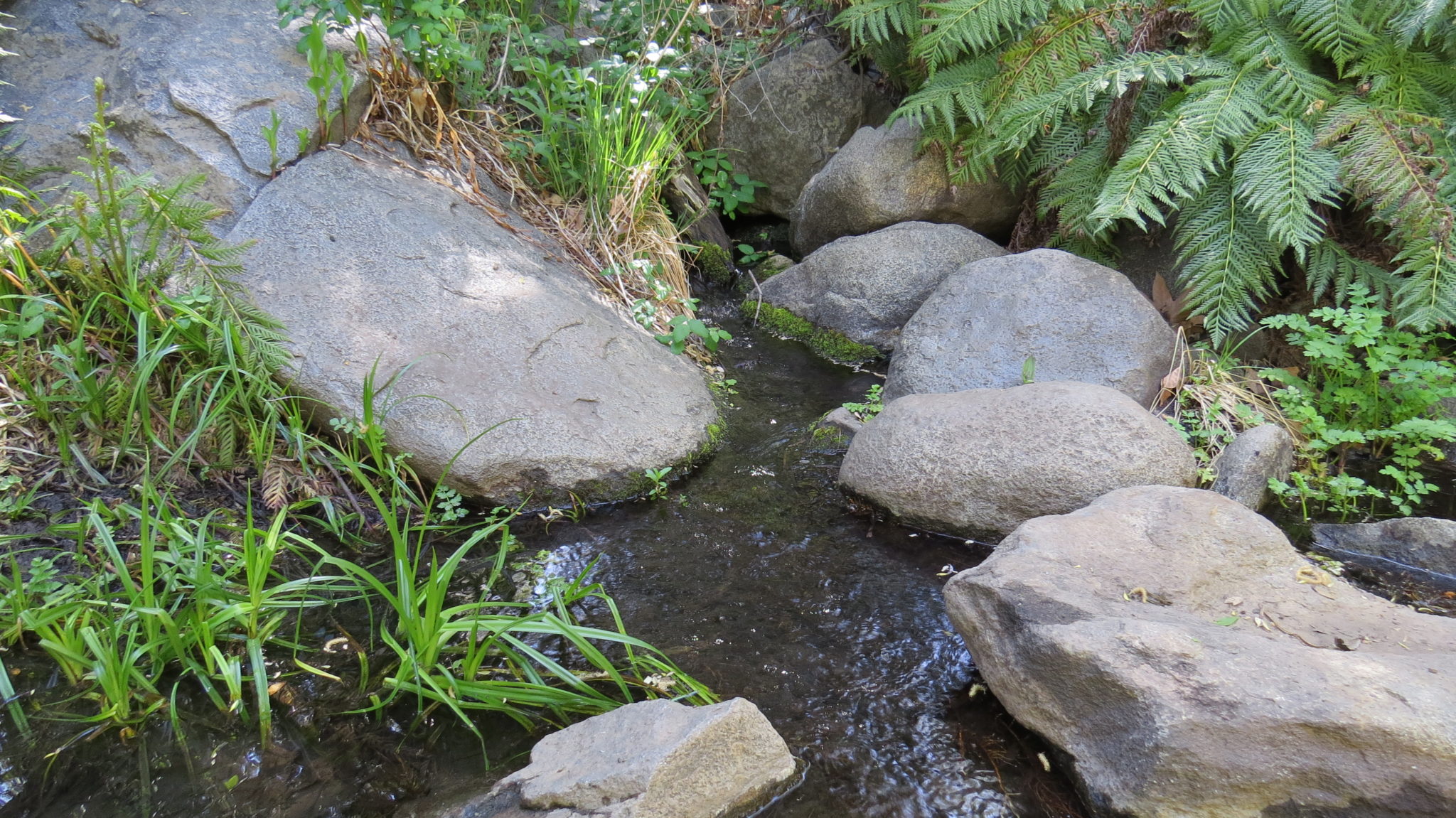
The Noble Canyon National Recreation Trail offers you a chance to hike mostly downhill from the Laguna Mountain Crest through a gorgeous canyon full of oaks and aromatic bay trees down to the hamlet of Pine Valley. Along the way, you will find serene forests, a trickling stream that provides a reliable water supply for several backcountry campsites, some abandoned mining gear, and later pleasant oak woodlands presiding over rippling grass and chaparral shrubs.

Hikers should take note that the Noble Canyon Trail is a favorite route of local mountain bikers. The San Diego Mountain Biking Association has established a system where bikers can obtain bells that warn hikers of their approach. This early warning system is crucial thanks to numerous blind turns and some steep grades, which mountain bikers enjoy taking at speed. Even with most mountain bikers adopting this courtesy, you will want to stay aware throughout the route to make sure you’re aware of what may be coming your way. Weekends are often the busiest times, although early birds will escape the thickest crowds. Weekdays are best if you’re one of those blessed souls that gets to hike on Wednesdays.

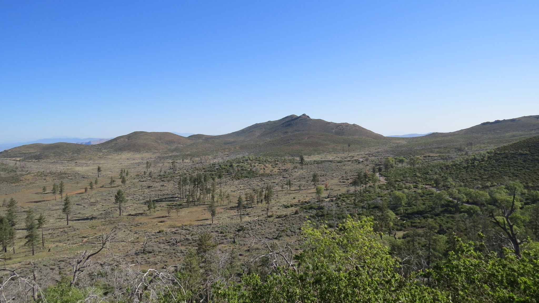
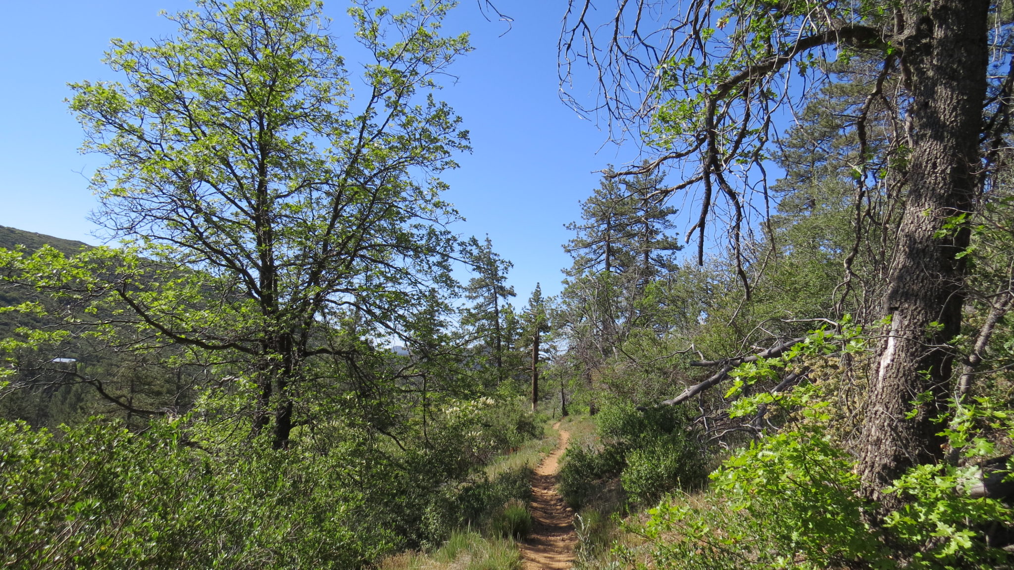
From the Penny Pines Trailhead, cross Sunrise Highway and pass through the gate to commence westward travel on the Noble Canyon Trail. The trail undulates gently along a shady, north-facing slope that supports Jeffrey pines and black oaks. Views north across Filaree Flat draw the eye toward the craggy heights of Garnet Peak and the high desert peaks beyond.

The trail leaves these views behind as it bends south for the first of three crossings of Pine Creek Road. The first two happen in quick succession before the trail winds around a ridge before settling into a more consistently southerly direction. After passing a junction with the Indian Creek Trail, the trail next descends into Noble Canyon, which it reaches after the final crossing of Pine Creek Road at 3.0 miles.

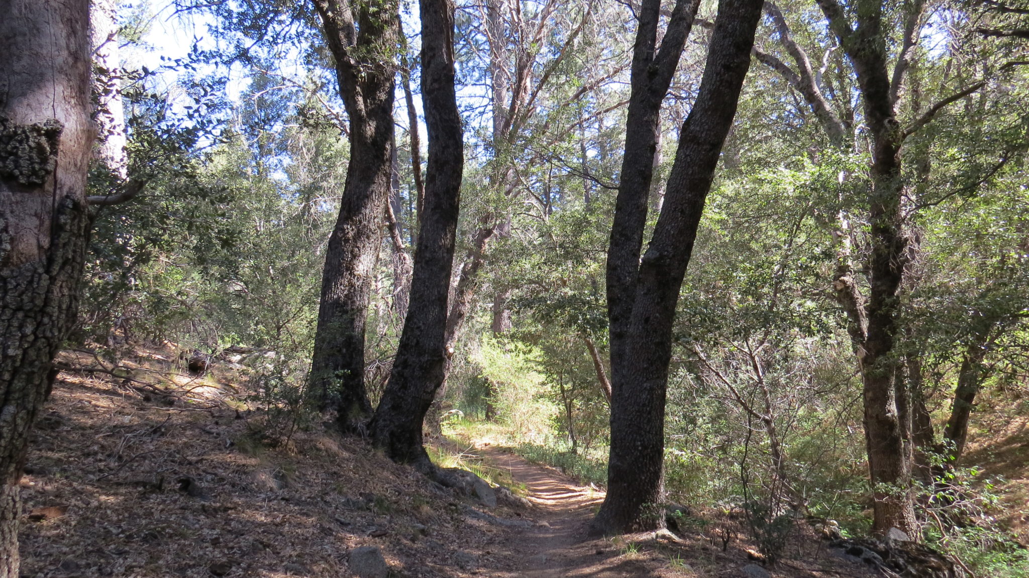
Beyond the road, the trail settles into an extended, junction-less downhill section beneath the shade of occasional conifers, canyon live oaks, and California bay laurel. Bay laurels are relatively uncommon in San Diego County, but there are several specimens along the route here. Stop to smell the lance-shaped leaves and take in the vivid, peppery scent. Be warned: excessive sniffing can lead to blinding headaches and sneezing, hence the trees nickname: pepperwood.

About halfway through the route, you will encounter several good campsites after crossing over the creek. At 4.9 miles, you reach a major tributary creek that drains the Laguna Lakes before flowing over granite and through dense vegetation, including bracken and sword ferns with thickets of wild rose and poison oak scattered liberally about. Curious hikers may discover the remnants of broken-down mining equipment scattered about down stream. This mining debris dates back to the 1880’s gold rushes which created a fair amount of hubbub and little actual profit in the Laguna, Cuyamaca, and Volcan Mountains.

Beyond the crossing, the trail leaves the cool shade of the trees and enters a sunny, warm section rich with the redolent scent of sage. Chaparral vegetation dominates from here as the trail rises about 100 feet above the creek and works its way in and out of several tributary ravines. Wildflowers grace these slopes in abundance during the springtimes of wet years, revealing a sublime vernal beauty that’s often missing during the height of summer.

At 7.4 miles, the trail crosses Noble Canyon’s creek for a final time before joining an old jeep road. After climbing onto a saddle, the trail diverges from the road and crosses another saddle. From the saddle, the trail makes a sharp bend to the north and begins a sharp descent down a rocky slope to the southern terminus of the Noble Canyon Trail just off of Pine Creek Road.
Tags: California bay, Cleveland National Forest, Descanso District, Indian Creek Trail, Laguna Mountains, Laguna Mountains Recreation Area, Noble Canyon, Noble Canyon Trail, Pine Valley, San Diego County


