There’s a certain type of hiker that’s always on the look out for the toughest trails around. The San Gabriel Mountains are absolutely not wanting for tough trails, and depending on who you talk to, you’ll get different recommendations, different hikers’ “fishing stories” of blisters and bleeding and scrambling half-trails and other kinds of ‘Type II Fun.’ There are many routes in this mountain range that can lay claim to the title of “toughest trail in the San Gabriels,” but for my money, this route to Twin Peaks is probably the toughest trail in the San Gabriels that you’d still actually want to hike.
Unlike some other competitors for that title, the route to Twin Peaks features some of the most exemplary wilderness scenery in the entire San Gabriel Mountains range, plenty of shade and solitude, fantastic views, and even some potential water sources provided we’ve had a decently wet winter.
Don’t underestimate this, though — this is still a challenging and somewhat brutal full-day excursion that you should only do if you’re in excellent shape, can navigate unmarked trails, know how to read a map and compass, and are OK with heights and some incredibly steep inclines and declines. Also, you’re not going to get a break on your way down from the summit — in my book Day Hiking Los Angeles, I describe this route as “one of those up then down then up then down then up then down again hikes you’ve heard so much about.” And that middle stretch includes 1130 feet of gain on a mostly unmarked use-trail in about 3/4ths of a mile — at an average grade of 28%.
Needless to say, you will feel this trail for a few days after you do it. So train, stretch out, find a good, long day, and then set your sights on this epic backcountry journey right in L.A.’s backyard.
This route begins at the backcountry wilderness board for the San Gabriel Wilderness, just north of the Buckhorn Day Use Area. There’s a sizable parking area nearby (for the Mt. Waterman ski area when it’s operational), but if it’s full (or if you want to shave a sliver of distance off your trip), you can also park near the Day Use Area for an alternate trailhead.
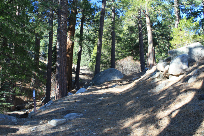
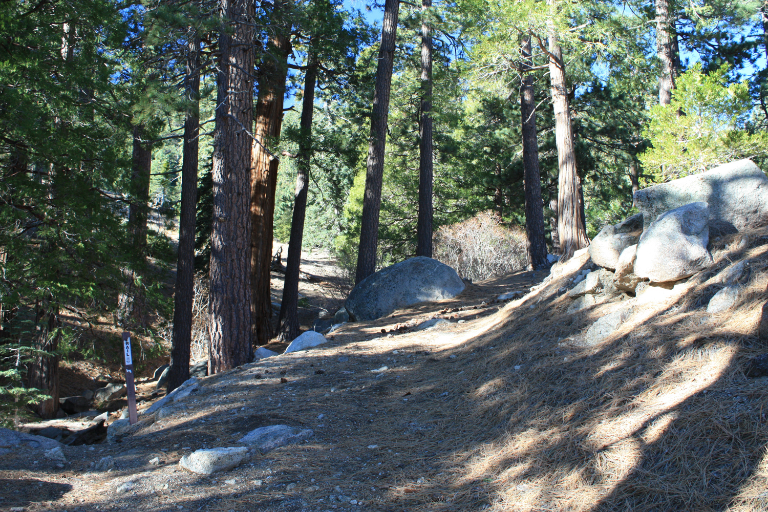
Almost immediately, you’ll see a trail marker shuffling hikers to the left of what appears to be an older trail or access route to the nearby Mount Waterman Ski Area.
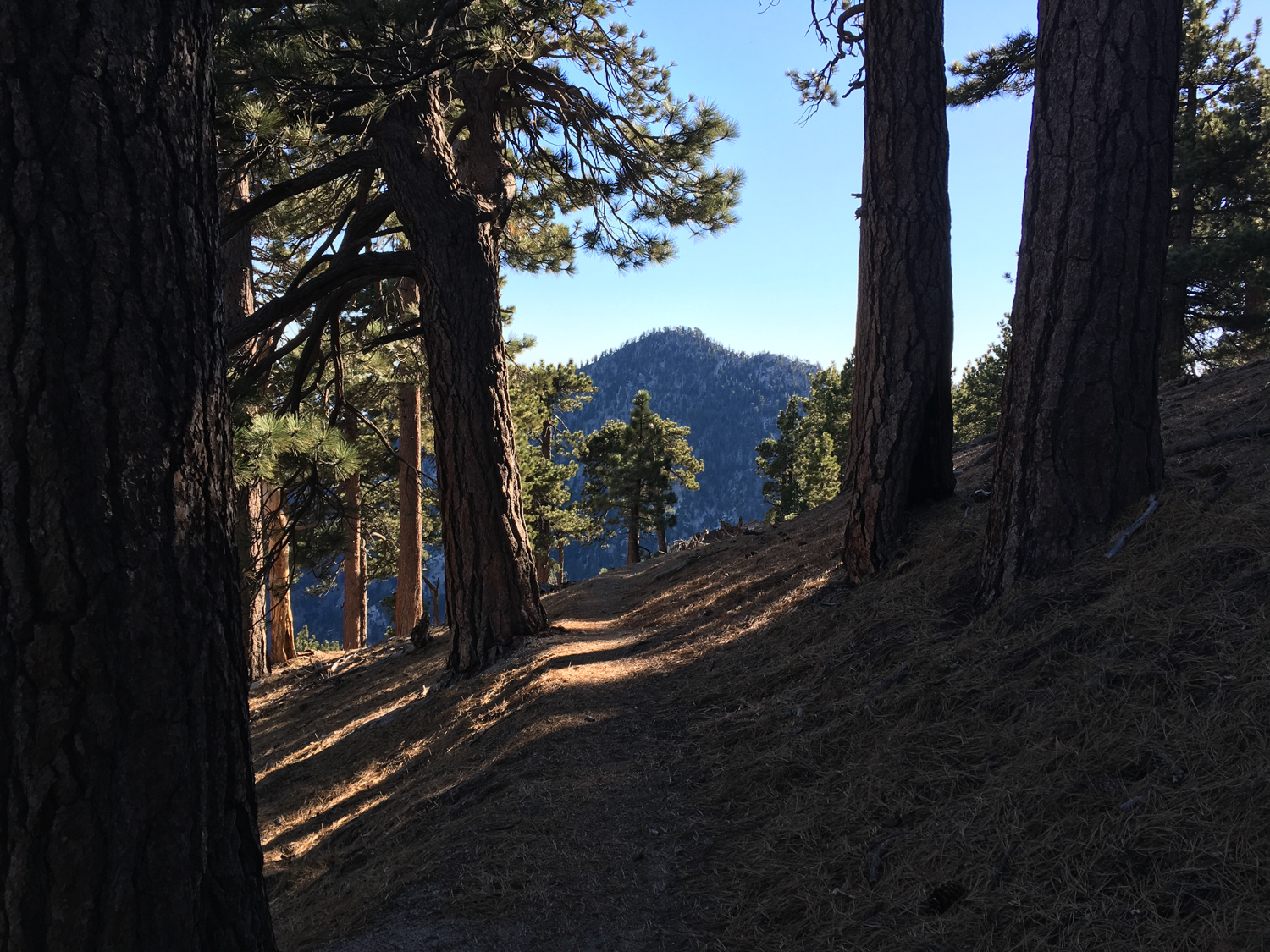
The trail parallels the Angeles Crest Highway, passing an old horse trough through beautiful, dense pine forest.

At 0.3 mile, the trail crosses a dirt road. Stay straight to continue on the single track trail — to the left, you’ll return to the paved road, while the right is a return trip down from Waterman Mountain. The scenery here is quite lovely, and as you continue to climb above the paved road, you’ll have some nice views of Kratka Ridge to the east, across Buckhorn Campground.
Hop across an arroyo just before 0.4 mile and get ready — because your uphill journey is about to begin.
Lucky for you, though, you’re on the cool, north-facing, densely forested slope of Waterman Mountain — so even on hot days, this stretch of the trail is likely to remain a bit cooler than other areas. Note that it is also likely to hold onto snow if we get it during the winter. I have hiked this route in July and had to step over a bit of frozen snow, so you may want to wait until the summer or fall to tackle this trail.
Follow the trail as it continues climbing upward, and at 1.1 miles you’ll reach the long east-west ridge that connects Waterman Mountain with Kratka Ridge. This area was a historically active ski area, so you may spot old chairlifts and ski runs on your way up. Indeed, at this mark there appears to be an old ski run or access route heading to the east.

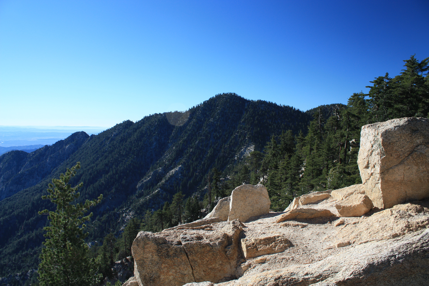
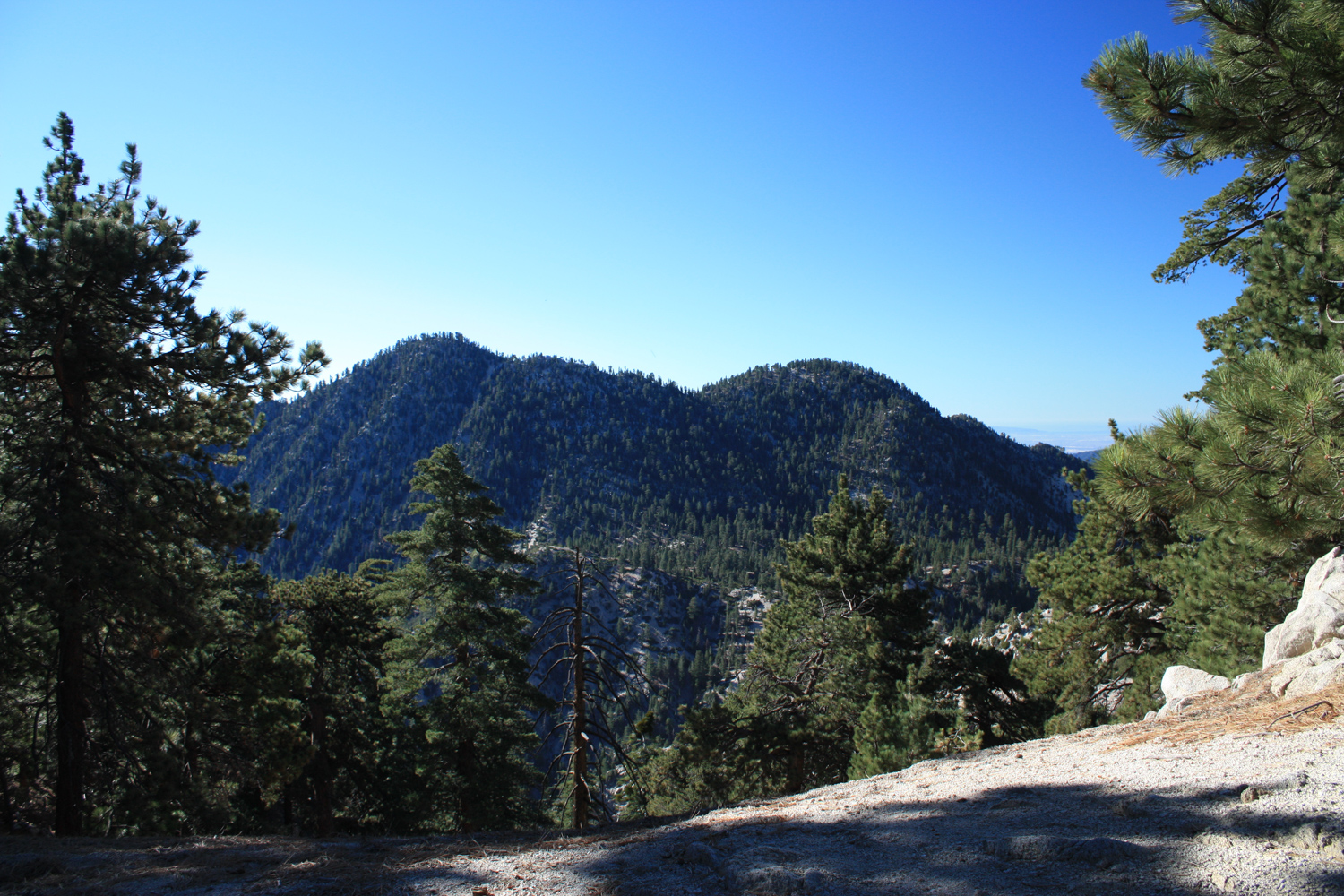
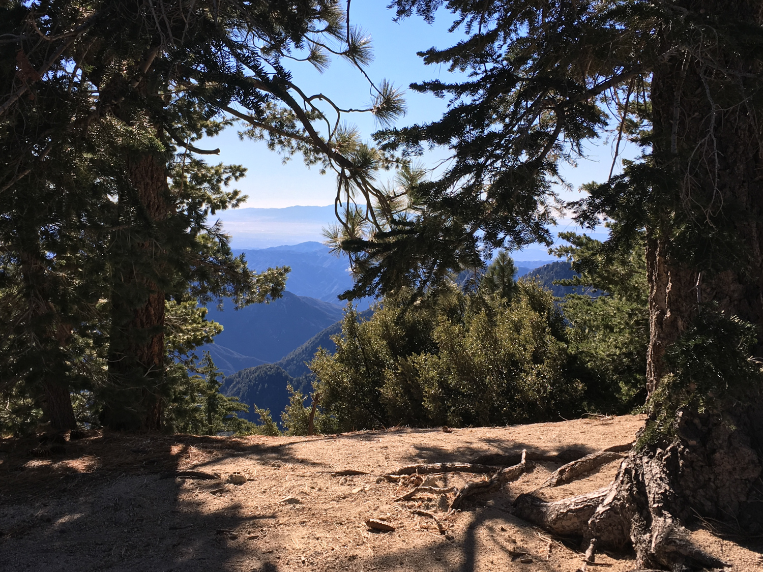
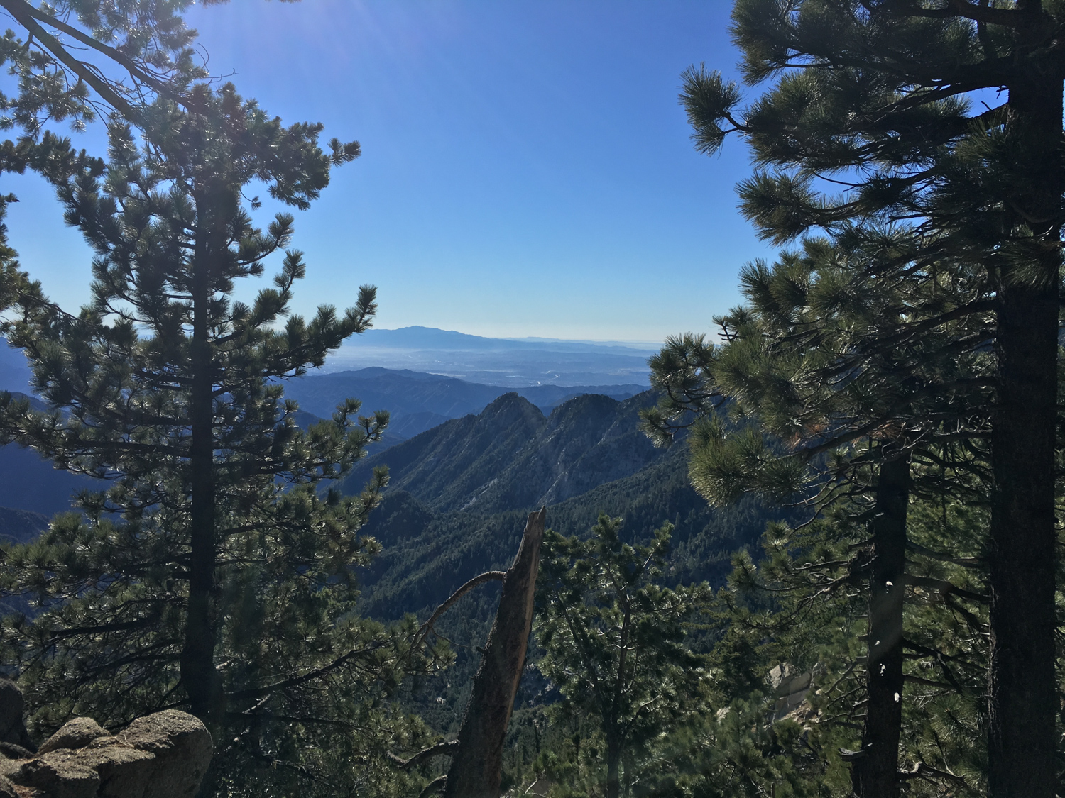
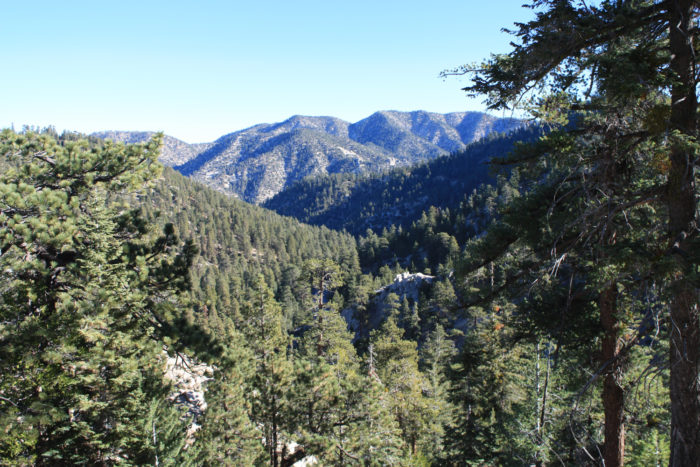
This ridge is the boundary of the San Gabriel Wilderness area, and it also just happens to provide some unbelievable views of said wilderness — and your destination ahead. There’s an especially good view of Twin Peaks at 1.5 miles:

After this, the trail climbs a few big switchbacks and hits a junction with the Mount Waterman Trail at 2.1 miles (the mountain’s official name is Waterman Mountain, but the ski area is called Mt. Waterman. I don’t know why, but that’s why there’s name confusion here!).

Twin Peaks East looms through the pines
Congratulations — you have now reached your first peak of this hike — and now the bad news is you’re about to lose all 845 feet of elevation you’ve gained and then some, only to crawl all the way back up and even higher right afterward. Hey, I warned you didn’t I?

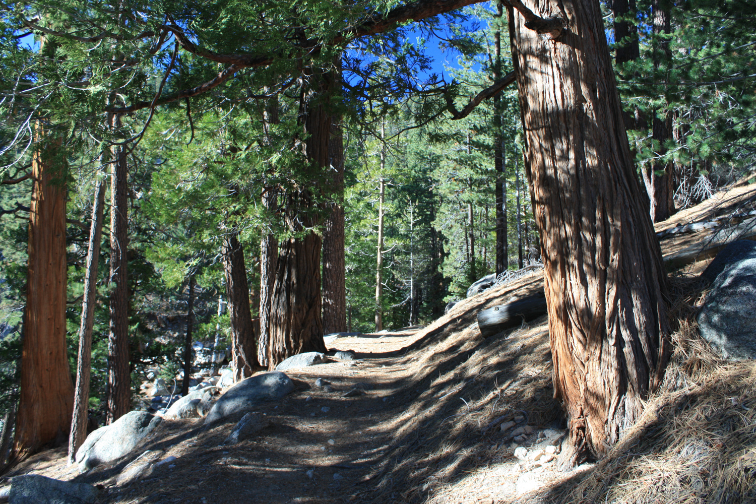
Stay straight at the junction to continue west on the south slope of Waterman Mountain through forests of ponderosa and Jeffrey pine. At about 2.4 miles, the trail turns to the south and descends down a series of tight switchbacks through some of the biggest trees I have seen in all of the San Gabriels.


At the 3 mile mark, you’ll reach another junction with the Twin Peaks Saddle Trail. Despite the trail sign denoting this route is a dead-end, keep left here to continue your descent toward Twin Peaks Saddle. The other trail continues west along the southern slope of Waterman Mountain for 4.2 miles to Three Points, and is a fun (if long) alternate approach to the summit of Waterman if you’re not a fan of hiking through skiing infrastructure.

Hike past another seasonal arroyo at 3.2 miles before continuing south on another series of even tighter switchbacks and crossing the easternmost branch of Devil’s Canyon Creek at 3.6 miles (don’t depend on water here) and you’ll bottom out at Twin Peaks Saddle at 3.7 miles.

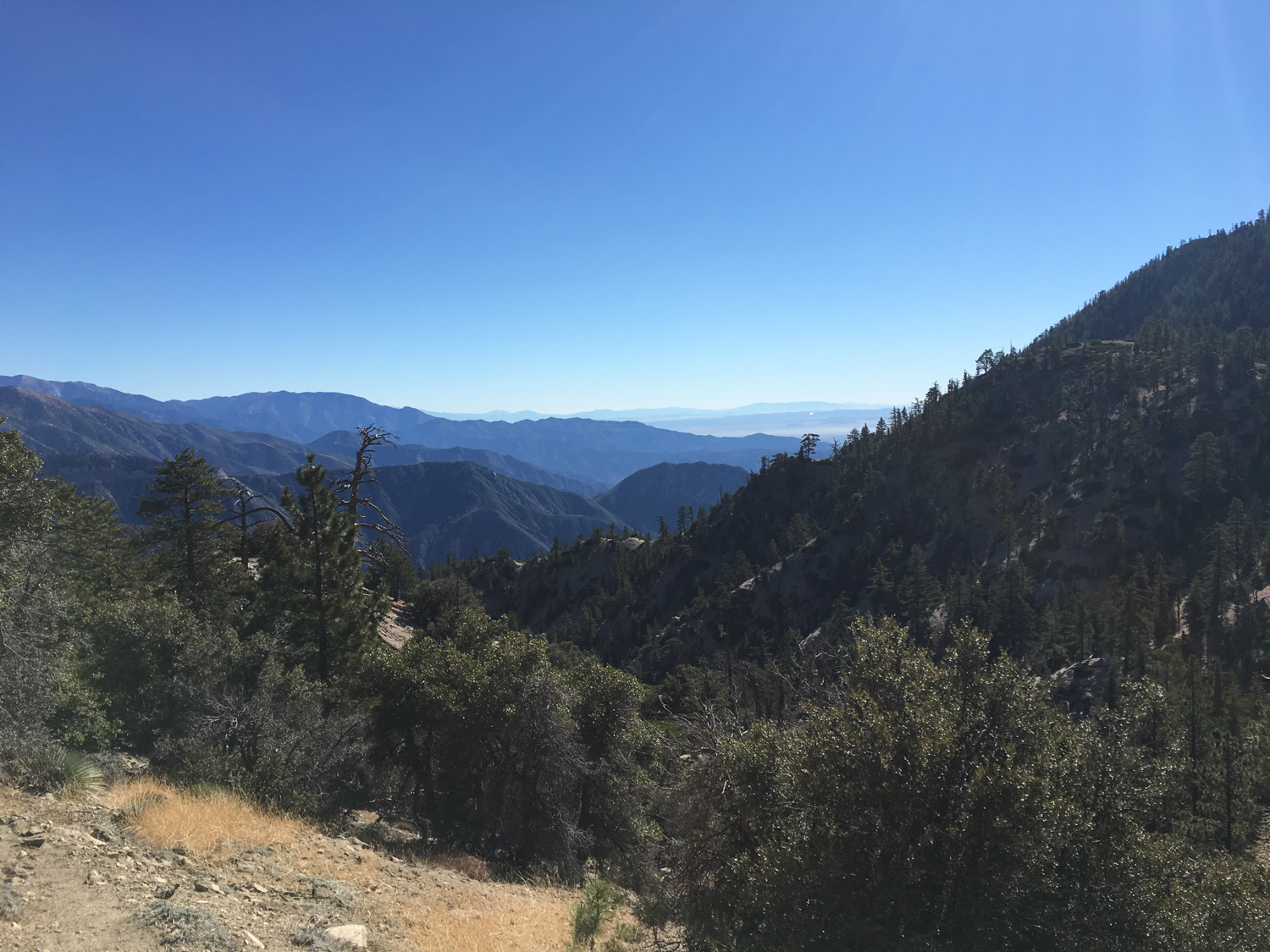
the view from the Saddle
This is a good place to take a lunch or snack break (and maybe stretch those legs again just in case), because the toughest part of the hike is about to begin.
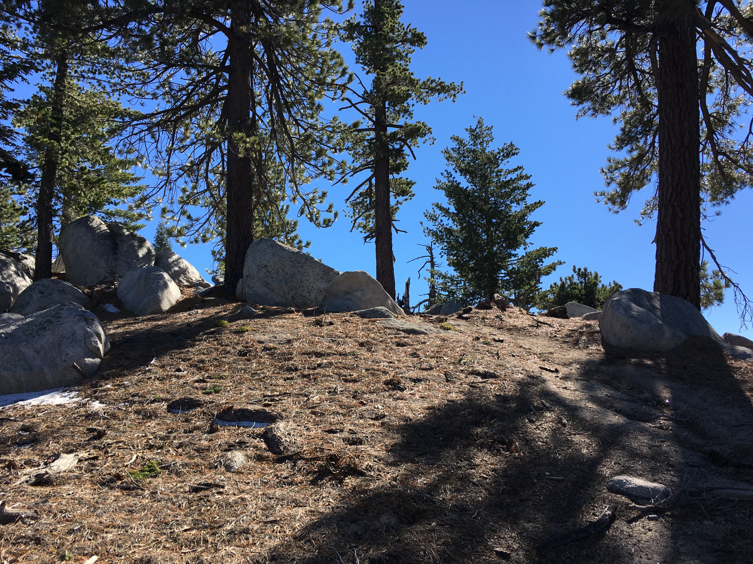
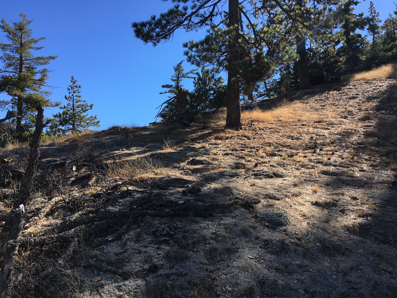
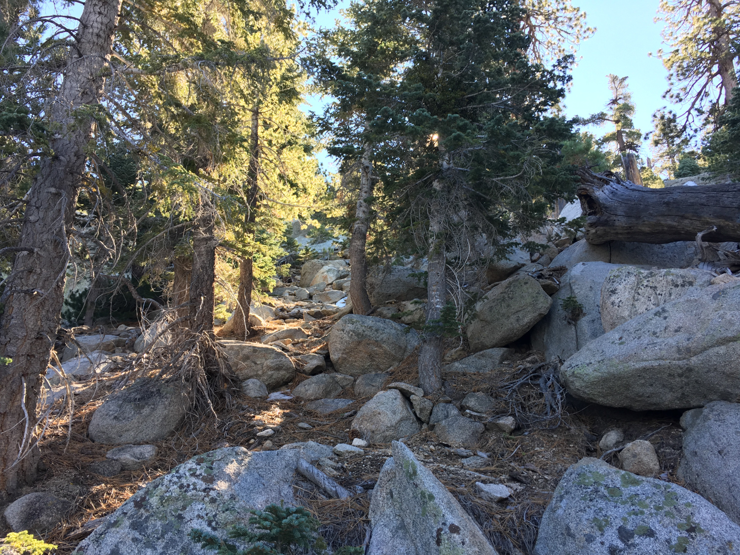
The established trail officially ends here, but a well-worn route continues clearly to the south to the 4 mile mark, where it basically just ends. Here’s what you’ll be looking at in that location:

So yes, there are some worn use trails here, but because this area doesn’t see a ton of foot traffic and the slope you’re about to climb is so steep, you can’t really expect any route to stay here permanently. Some hikers have taken to tying ribbons on the tree branches to mark good routes, but none of those can be absolutely depended upon — which is why it’s so important you’re able to navigate based on a map here.
Speaking very generally, you’ll want to aim roughly toward the southeast, where a fairly well-worn use trail climbs up a direct, no-nonsense route toward Twin Peaks East. There is, however, another well-worn route that switchbacks its way up to a broad, rocky saddle between Twin Peaks East and West, so don’t just rely on bootprints to point you in the right direction. If you do end up accidentally heading toward the summit saddle, don’t worry. First, we’ve all done that before; Second, you can bushwhack along the summit ridge to the east to get to the summit of Twin Peaks East, where you might have a better vantage point of finding the direct route. Obviously hiking to the saddle first will add a little bit of distance to your hike, but to be honest I recommend following whatever route is more manageable for you — that direct route can be exceedingly steep and slippery at times.
There isn’t really any direction I can give you here other than “go up,” so just keep your wits about you and look out for signs of use trails — ribbons or small cairns that may mark the way, or flat sections that look like they’ve been worn down by boots before.
If you are on the direct route, the climb heads generally due south until about 4.5 miles, when it makes a slight shift to the southeast. You’ll reach the summit ridge at 4.7 miles, and from here you should be able to clearly spot a route heading to the summit of Twin Peaks East to the southeast.
It’s tough, yes, but remember this is a nontechnical scramble — if you’re getting yourself into a dangerous situation, odds are you’re headed in the wrong direction.
You’ll reach the forested summit of Twin Peaks East at 4.8 miles — a perfect and well-deserved destination for a bit of celebration and rest. Not many other hikers make it up here!

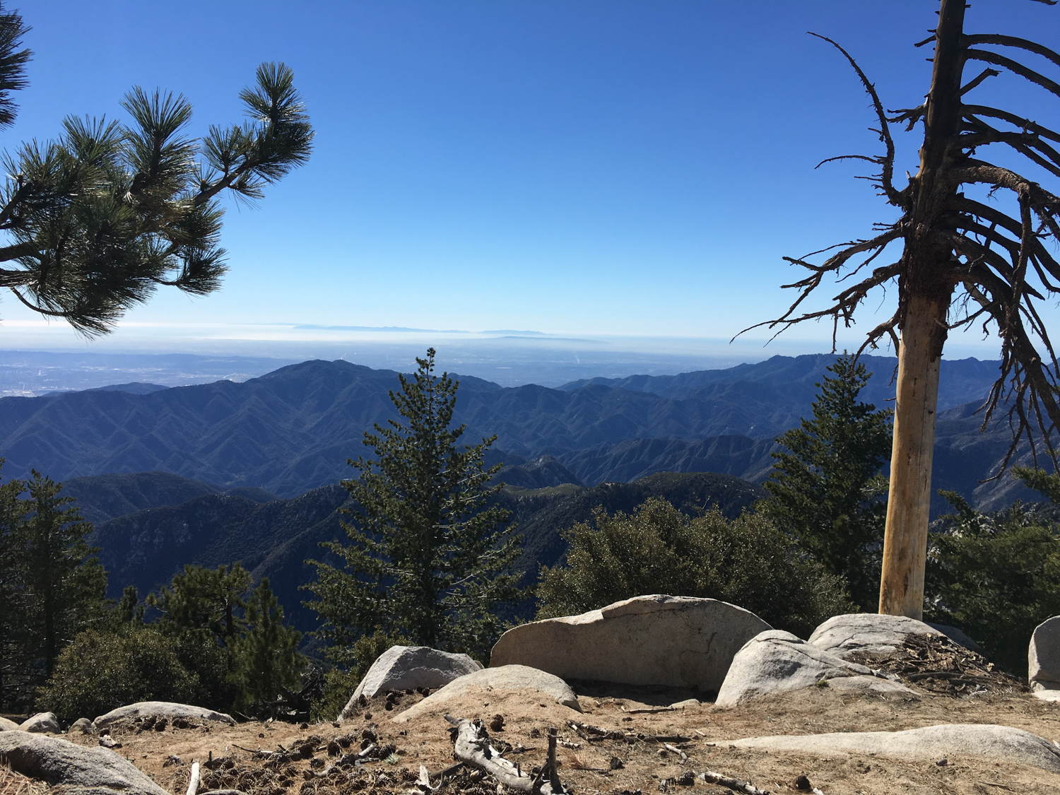
looking east toward the abandoned CA-39

south toward the foothill cities
Just remember — you will need time to get back to the trailhead, so don’t linger too long on the summit before you head back the way you came in.
Technical climbers who want some extra punishment can continue along a faint use trail to Triplet Rocks. We very, VERY strongly recommend only hikers with sufficient experience with technical climbing and exposed scrambling attempt this route, and even then only if you’ve made a pre-dawn alpine start at the trailhead.
Tags: mount waterman, San Gabriel Mountains, San Gabriel Wilderness, triplet rocks, twin peaks, Waterman Mountain


