The San Mateo Canyon Wilderness contains numerous gems that make it one of the best spots to hike in the Orange County/southern Riverside County Area. Several deep canyons contain seasonal streams, old growth chaparral, and fine backcountry camping. Several high points, including Sitton Peak, allow fine views throughout the Inland Empire and south into San Diego County. And perhaps most popular of all, a series of cascades where a seasonal creek spills over a 70-foot precipice on the eastern edge of the wilderness.

This waterfall, dubbed Tenaja Falls, has, like all waterfalls, become a popular destination. Also like most Southern California waterfalls, timing is an important factor. During the hot summer months, the creek slows to the barest trickle, leaving stagnant, algae covered pools. The oppressive inland heat makes even short hikes nearly unbearable. Even well into fall before the cool, rainy season has taken hold, you may find the falls a disappointment. However, if you time your visit after a series of winter or springs storms, the falls will reward you with a torrent that, while not exactly gushing, is impressive enough.

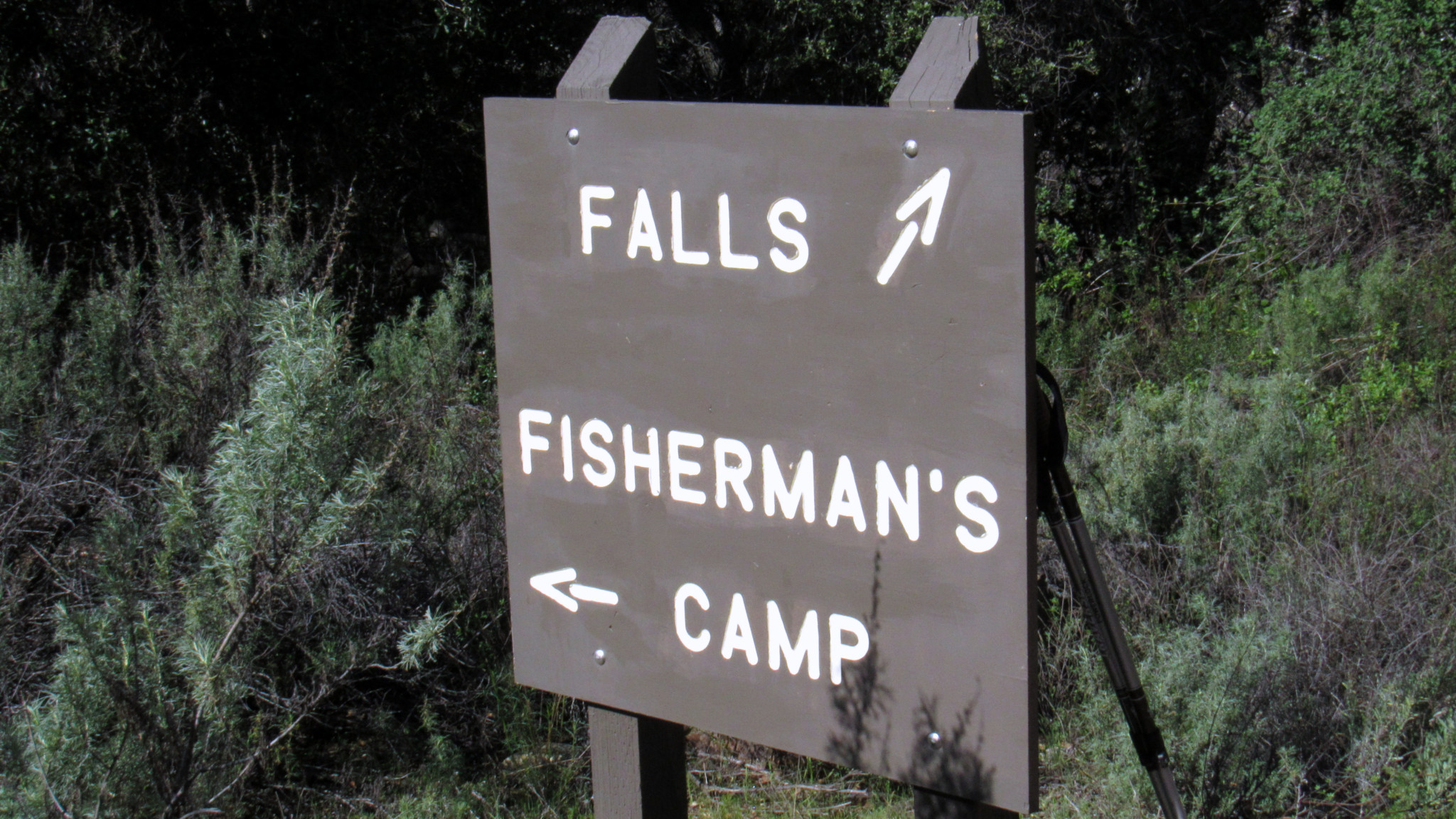
The hike is short and simple enough that families and children can enjoy it. Only one significant obstacle occurs at a creek crossing that you encounter after 0.1 mile of walking west from the Tenaja Falls Trailhead. Just before the waterfall, you pass the only junction on the route, which splits away on the left to head south toward Fishermans Camp. Keep right to cross the creek either by wading through or by walking 30 yards upstream to a precarious rock hop.

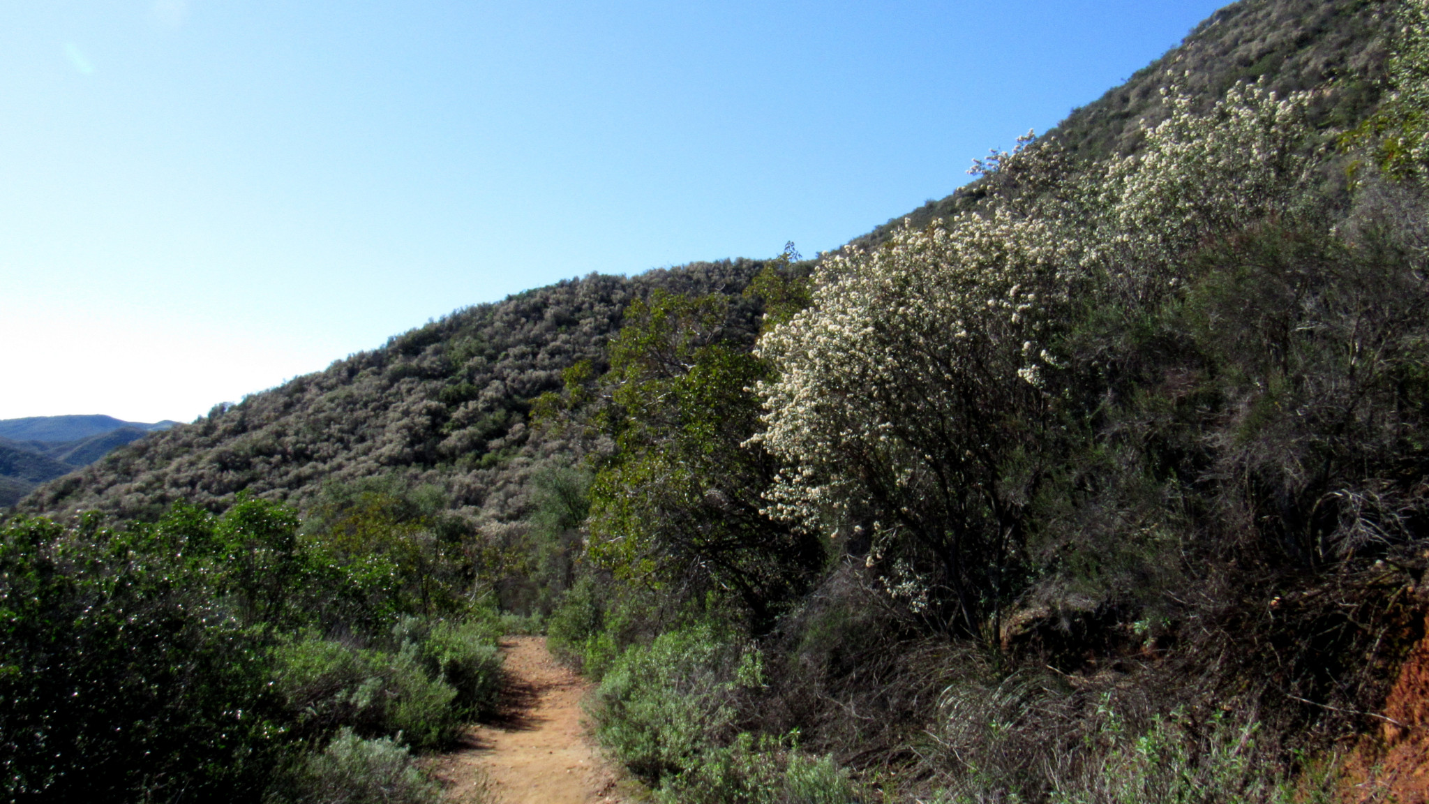
Once past the creek, you pass a cluster of live oaks that shelter some good campsites. Beyond the oaks, commence a moderate climb along the remains of an old jeep road that has reverted to trail following the area’s designation as a wilderness. The rich scent of chaparral highlighted by white and black sages becomes especially pungent by January following a few good rains. The honey-sweet smell of ceanothus blossoms permeates the air through February and March.

On the trail climbs, reaching a sharp bend to the right where Tenaja Falls comes into view. This is the best spot to view the full falls. The end point of the approach reaches the top of the falls, and you don’t get a good look at any of the lower falls unless you’re adept at scrambling and want to go off trail.

At 0.7 mile, the trail evens out before crossing a concrete ford just above Tenaja Falls. Informal side paths will branch away on the right to the top of the falls. You can carefully scramble down below the first fall – a 15-foot cascade over which the water sprays outward like a hose. I don’t really recommend climbing down any further than this since the terrain is especially rocky and steep, which may invite unnecessary injuries. The top of the falls is a nice place to relax as it is.

When finished, retrace your step downhill, cross the creek, and return to your car.
Tags: Cleveland National Forest, Riverside County, San Mateo Canyon, San Mateo Canyon Wilderness, Tenaja Falls


