Chino Hills State Park straddles the county lines between Orange, San Bernardino, and Riverside Counties, and includes a wide variety of long and short canyons and ridgelines with impressive views of the surrounding terrain.
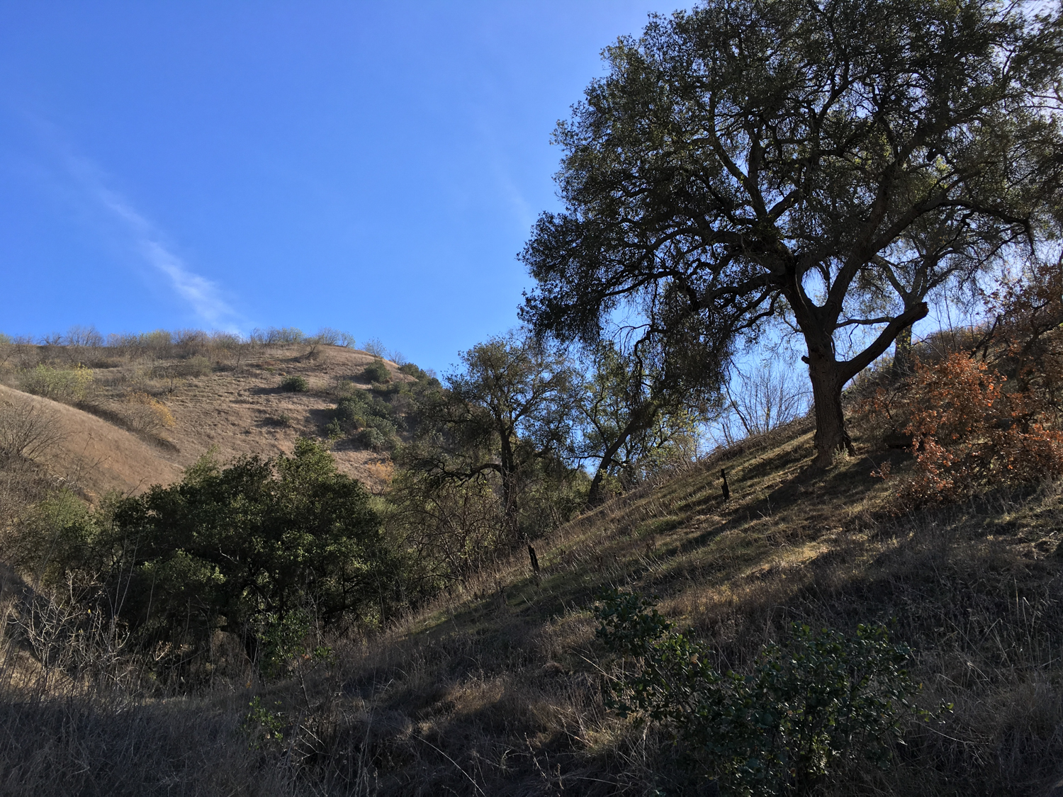
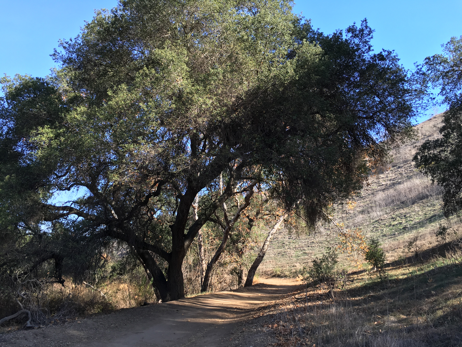
This particular route starts out on the western edge of the park and takes you more than halfway through the park’s major east-west canyon — Telegraph Canyon. Although its long distance and wide fire road trails make this especially well suited for trail runners and mountain bikers, it’s also a very pleasant route for hikers. You’ll venture through some beautiful riparian areas, dense with oak, alder, and sycamore trees, while the hills on both sides of the canyon effectively shield you from the nearby civilization.
This trail also begins at an excellent nature center — and the canyon itself is known as one of the best birdwatching areas in Southern California. Check with the Park Headquarters to make sure they’re open (the park can close during Red Flag Days and following heavy rains). Fill up water bottles or hit the restrooms if you need to, then head east past the Discovery Center and a small native plant nursery.

the Discovery Center
At 0.3 mile, keep right to stay on the Telegraph Canyon Trail. You’ll pass the remnants of some old citrus orchards as well as a turnoff to the Deimer Water Treatment Plant, which you’ll be able to make out on the south side of the canyon.

Near the entrance to the canyon, the remnants of the orchard’s landscaping provide some nice shade
Follow the trail as it heads east, where the canyon is wide and shade is a valuable and rare commodity. At 1.6 miles, ignore the Deimer Trail on your right and continue heading east into Telegraph Canyon.

Open canyon, little shade
As you continue east, you’ll basically just want to stay on the Telegraph Canyon Trail the entire time. Depending on what trails are open, you can make a shorter loop to head back, or just turn around wherever you’d like. But the further east you go, the more narrow the canyon becomes — and the lovelier its trees will be.

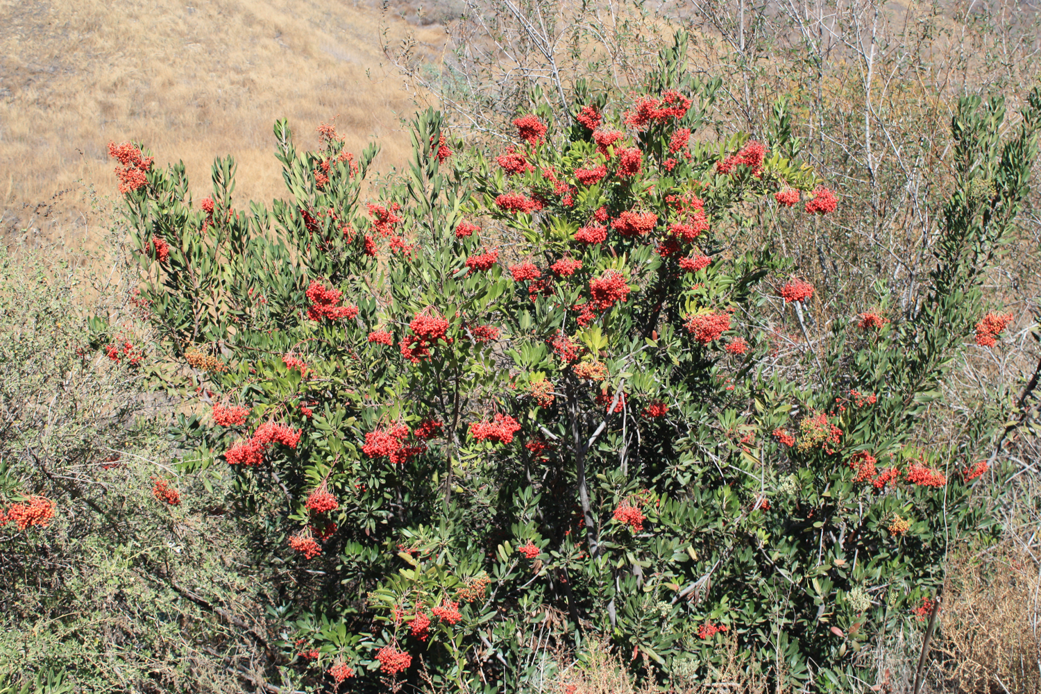
In the spring, the hillsides here will come alive with wildflowers and blooming sage scrub. In the fall and early winter, the walnuts, sycamores, and poison oak will put on a nice little SoCal foliage show for you, too.

Plant nerds will enjoy keeping their eyes out for the rare Southern California Black Walnut tree, which grows inside this canyon, while birders will have fun spotting rare birds like the California gnatcatcher, coastal cactus wren, and least Bell’s vireo fluttering about. Or you can just enjoy the shade — up to you!
At 3.1 miles — just past the junction with the Easy Street Trail — the canyon narrows quite a bit, and all of those lovely trees take center stage as they hug the mostly dry bed of Aliso Creek.
There’s a small but exceptionally lovely picnic area at the 5 mile mark, which can also be a decent turnaround point if you’re looking to shorten this trek a bit.

Beyond this, it’s an additional mile to the Four Corners trail junction.
An alternate and slightly longer route — but one that avoids the repeated scenery of an out-and-back and will provide some nice views of the nearby terrain — is to take the Bovinian Delight Trail south from Four Corners, which will put you basically right at the summit of San Juan Hill — the highest point in Chino Hills State Park. From here, you can follow that route as described in reverse to the Easy Street Trail, then rejoin Telegraph Canyon and make your way back to the trailhead.
Tags: bird watching, chino hills state park, Orange County, telegraph canyon


