Before Taft Point became the Instagram sensation it is today, it attained notoriety for being a fried chicken stop for a U.S. President. President Howard Taft was not famed for his svelte physique or spectacular hiking prowess, but Taft, accompanied by John Muir himself, visited the point in 1909 as part of a 3-day hiking trip from Glacier Point to Yosemite Valley that may have followed something approximating today’s Pohono Trail. Taft initially planned to take the route by horseback, but none of the horses were strong enough to sustain his size. Taft powered through, and in his honor, the flat shelf upon which Taft’s party lunched became known as Taft Point. Of the experience, Taft stated, “While I am tired from the open air exercise, I feel greatly the better for it.”
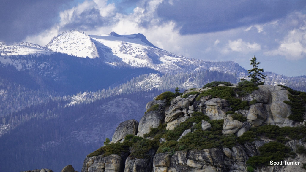
Mt. Hoffman
Nowadays, you can visit Taft Point via a short hike from Glacier Point Road that won’t leave you tired from open air exercise. From the shared trailhead with the equally accessible and spectacular Sentinel Dome Trail, you can follow a short connecting trail that merges with the Pohono Trail to the airy outcrop that has now become the site of many a selfie – occasionally with tragic consequences, so please be careful near the edge. The ease of the route coupled with the scenic rewards does make this a very popular hike, and while you probably won’t have the point to yourself, the experience belongs on most top ten lists for Yosemite day hikes.
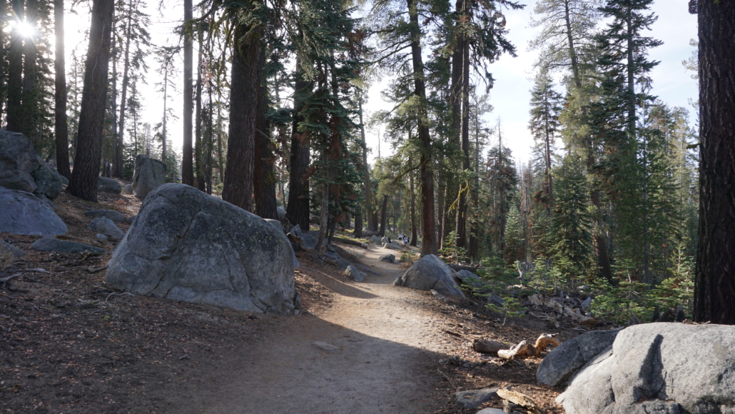
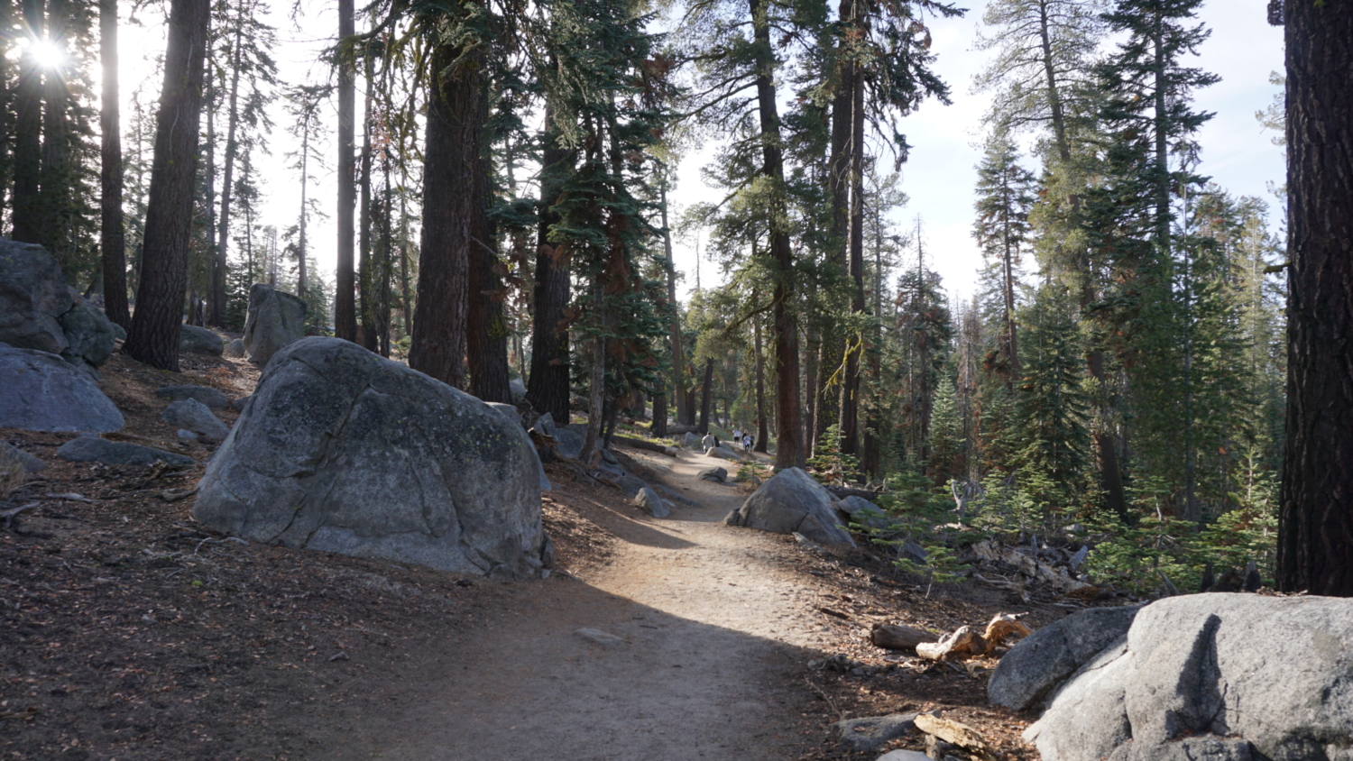
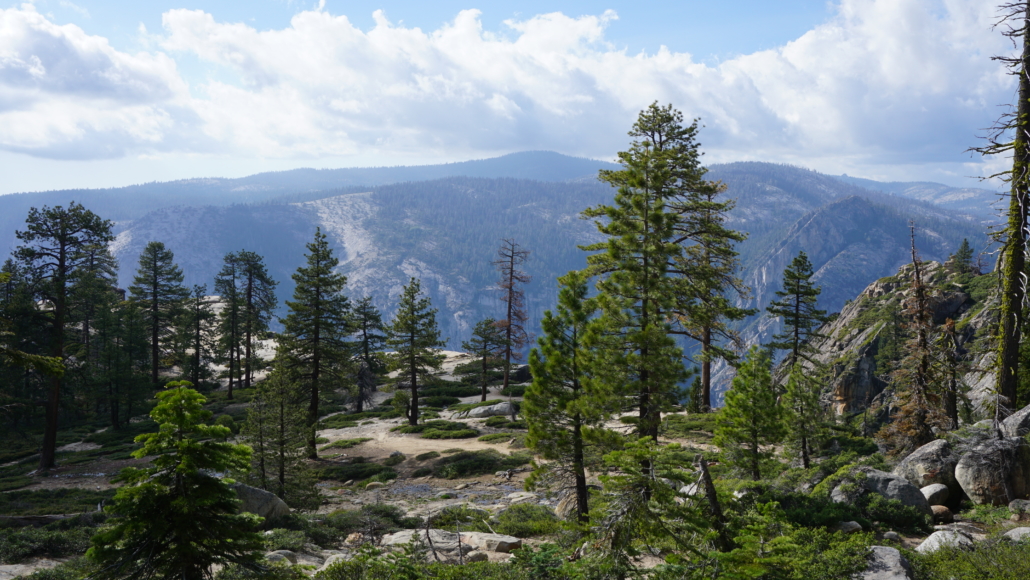
After snagging a parking spot (no easy feat during the summer), find one of a handful of trails leading downhill through open forest to a junction where the Sentinel Dome and Taft Point Trails split. The right branch leads to Sentinel Dome, which you can add on to your hike for an additional 2 miles of hiking. Turn left to head due west toward Taft Point. Initially, the open forest allows some glimpses of the forested highlands above the north rim of Yosemite Valley, but those views quickly disappear as you plunge into a dense forest of lodgepole pines, Jeffrey pines, and white fir. Just before crossing Sentinel Creek at 0.2 mile, look for an unusual outcrop of quartz that appears very out of place among the ubiquitous gray Sierra granodiorite. Deer browsing in the grass can be a common sight here as well, especially during the evening.
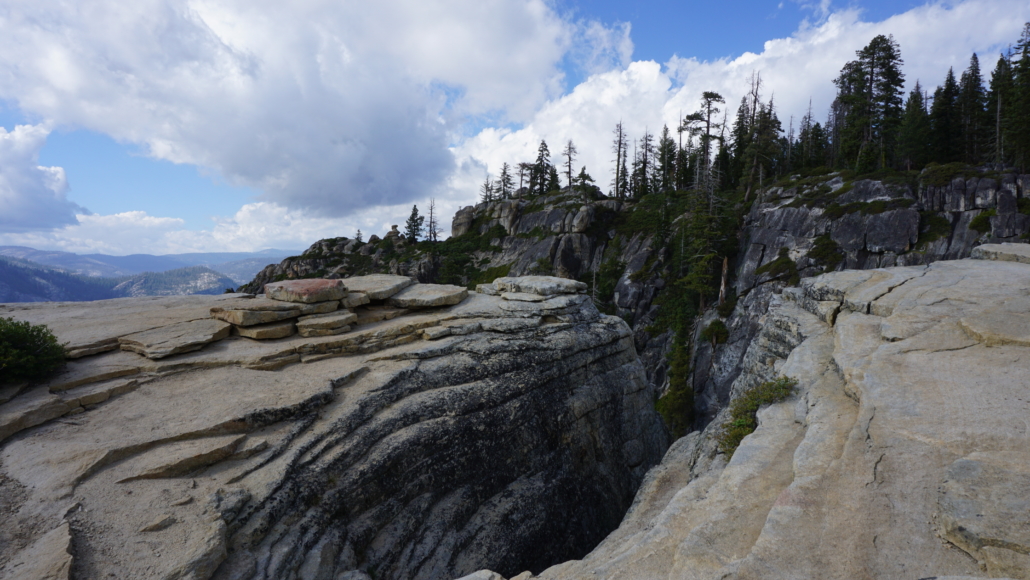
One of the Fissures
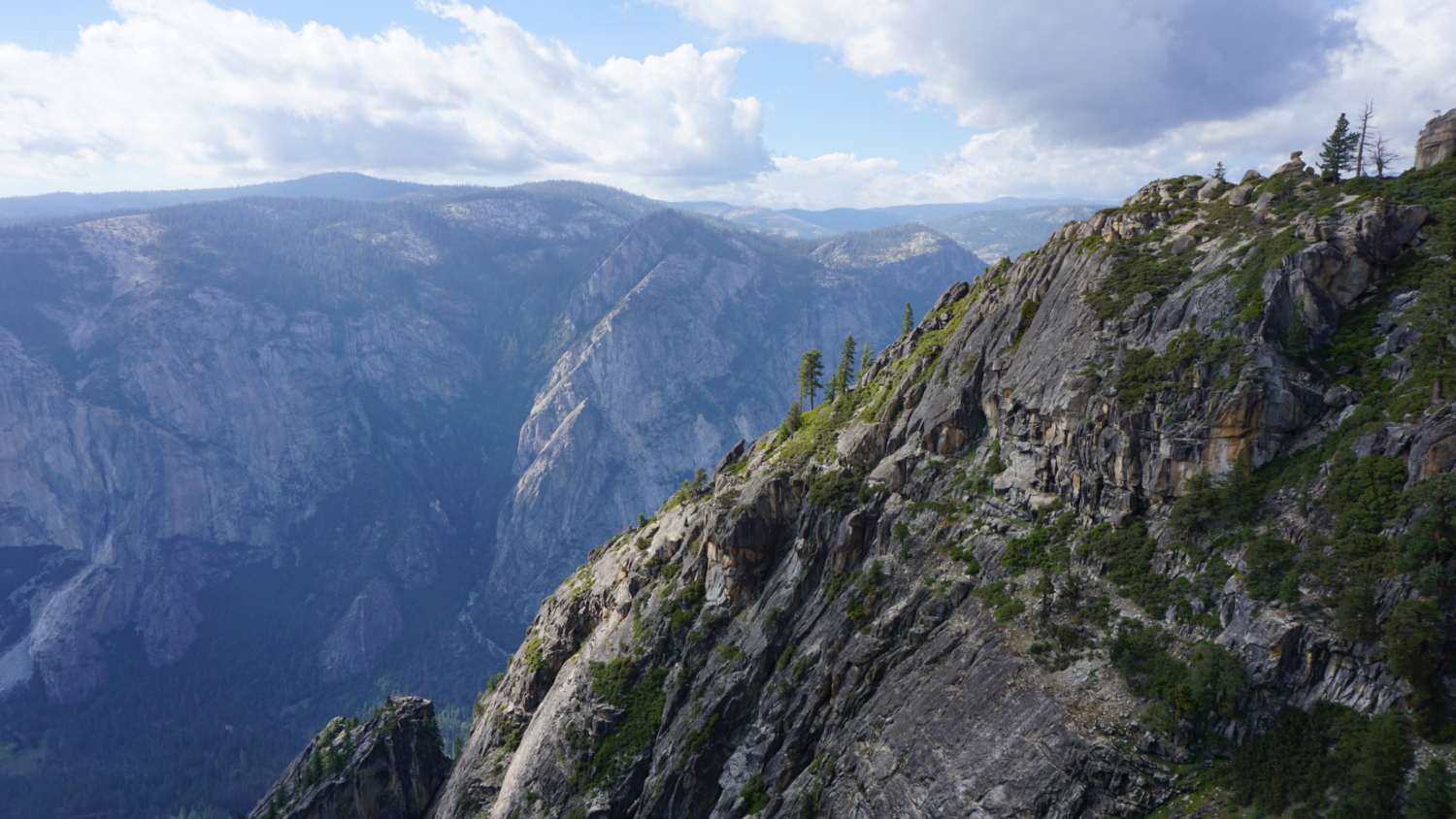
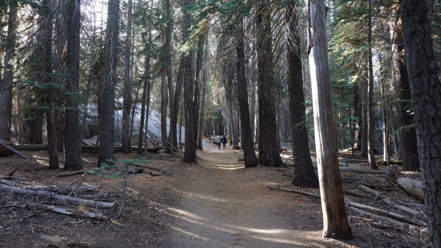
After the creek crossing, the Taft Point Trail passes through dense forest, undulating gently toward a junction with the Pohono Trail at 0.6 mile. Continue straight to follow the Pohono Trail west as it begins a descent toward Taft Point. The Pohono Trail leaves the forest cover at 0.9 mile, revealing a sparsely forested flat carpeted in manzanita that gently rises toward Taft Point. At 1.1 miles, the trail reaches the rim of Yosemite Valley just a short distance from the Taft Point viewpoint. Along the edge, you’ll notice a series of deep cracks known as the Fissures. You can sidle up to the Fissures to admire the unusual geology before making the final short climb up to the viewpoint.

The viewpoint from the Fissures
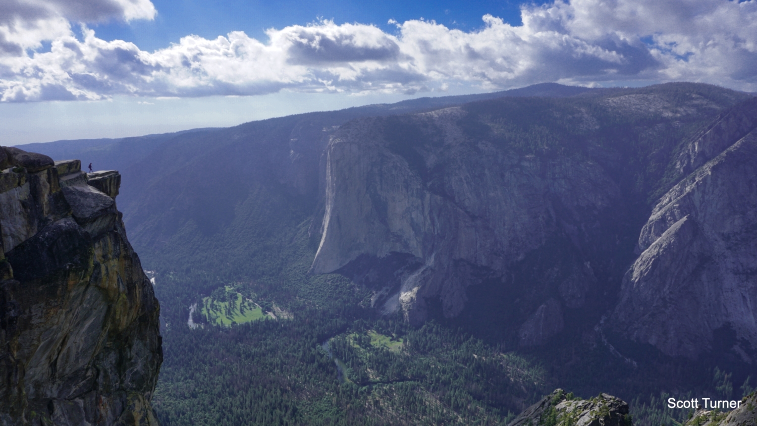
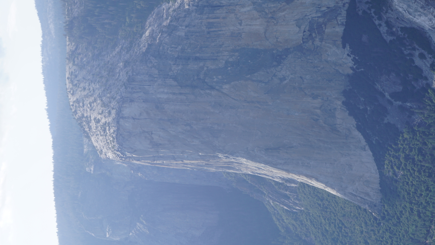
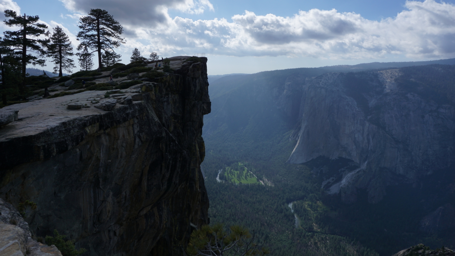
The viewpoint features a guard rail that protects hikers from inadvertently stumbling over the sheer edge of Yosemite Valley’s south rim. The views from this spot are rather jaw-dropping, and prominent features such as El Capitan, Yosemite Falls, Eagle Peak, the Three Brothers, El Capitan Meadow, and the winding ribbon of the Merced River are easily discernible from this point. This is not the true Taft Point, which lies a short distance to the west. Chances are that you’ll see other hikers scrambling out to Taft Point and posing for photographs on the flat ledge that juts out over space. Given that people have fallen to their deaths here, it’s not exactly the safest place in the world. You should use extreme caution if you attempt to reach the point, and there’s a good argument for not bothering with it at all, even if you’re really determined to get that sweet dopamine hit from racking up those Instagram likes.
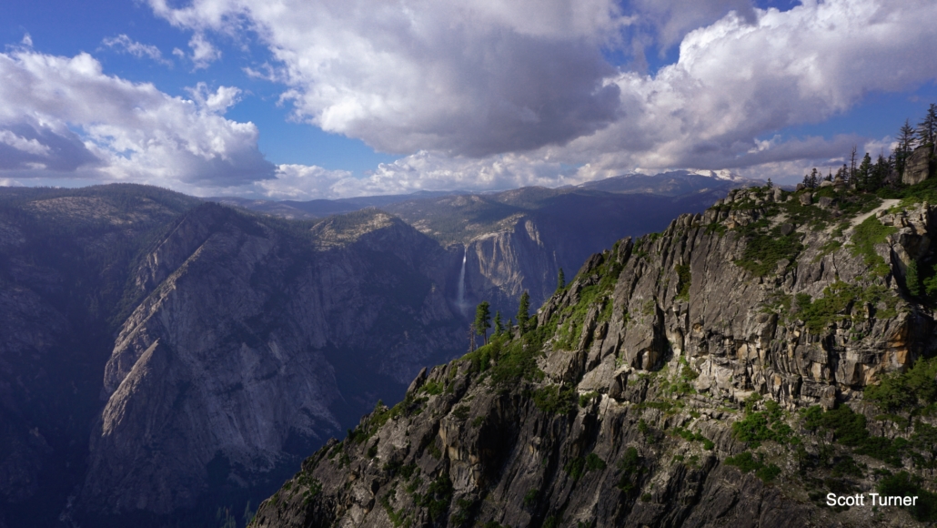
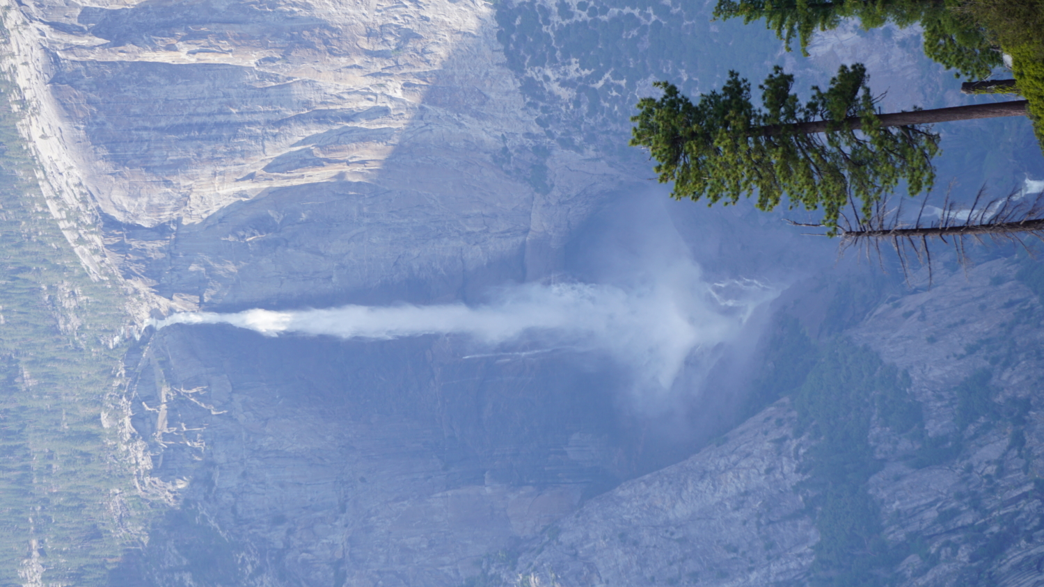
Yosemite Falls (center frame) and Eagle Peak/Three Brothers to the left.
To return, retrace your steps, completing a fairly steep climb back into the forest before settling into the gently undulating return route. This is a great route for sunsets, but if you plan on catching the sunset here, don’t forget your headlamp.
Tags: Eagle Peak, El Capitan, El Capitan Meadow, Glacier Point Road, Merced River, Pohono Trail, Profile Cliff, Sentinel Dome, South Rim, Taft Point, The Fissures, the Nose, Three Brothers, Yosemite Falls, Yosemite National Park, Yosemite Valley