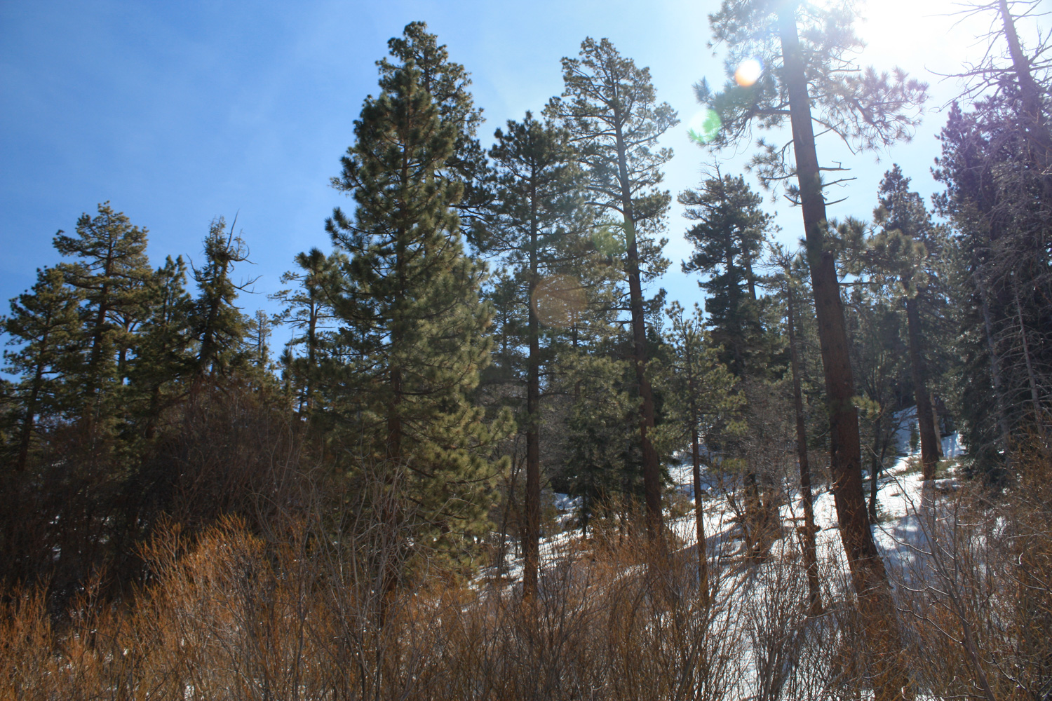
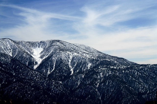
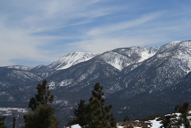
A 6+ mile partial loop on a mostly-gently graded trail just south of Big Bear Lake. This trail offers secluded woodlands and great views of the southern San Bernardinos. There is also a trail to the named peak “Grand View Point,” which is a great moderate day hike that will get you away from the crowds of Big Bear. Despite crowds during the summer months, each season offers something on this trail — in the summer, wildflower blooms hit the high elevations. In the fall, changing leaves are visible all around the mountain, and in the winter and spring, snowshoers will have a secluded hiking spot to themselves.
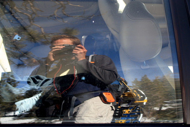
When a friend invited me on an overnight to Big Bear with a group in celebration of his birthday, I jumped at the chance — not only for the birthday and requisite partying with good people, but also for the chance to hit the trails around Big Bear while staying in a decent cabin overnight. Everyone else in the group brought or rented snowboards. I rented snowshoes, layered up, geared up, and parked near the Aspen Glen Picnic area.
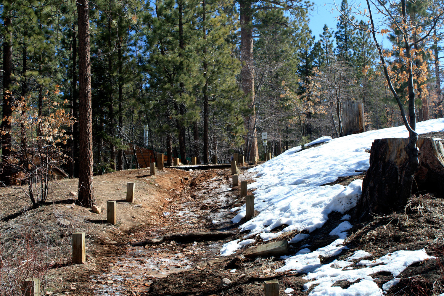
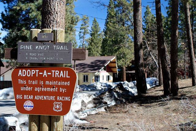
The picnic area was packed solid with cars, families cooking on barbecues, and kids sledding down the small slopes nearby. I had to park a bit further down the road, and at first didn’t see the trailhead … but after I peeked around a double-parked van, managed to find the enormous reflective sign that marks it.
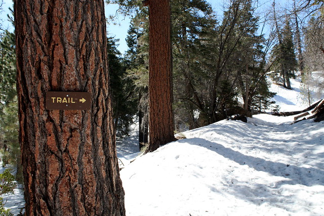
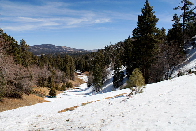
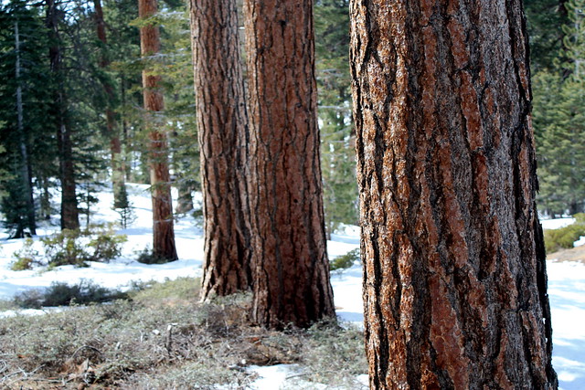
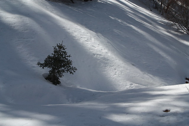
The first 0.2 miles or so of the trail was muddy, but didn’t have enough snow for the snowshoes — but eventually the white stuff filled in, and a 4-5 inch layer of icy snowpack took over the trail.
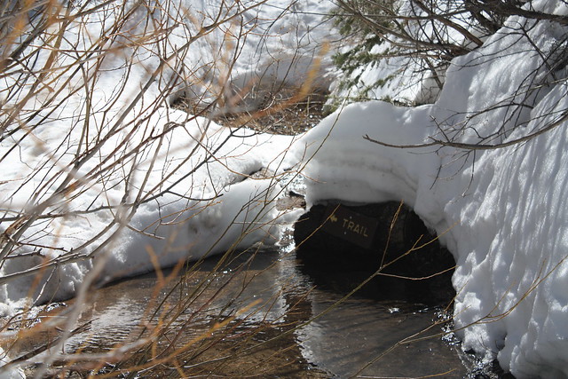
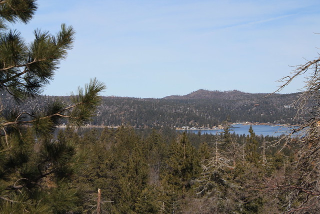
At about 0.6 miles, the trail continues around a small creekbed, but there is an option to cross the creek and skip a few switchbacks on a fairly established use trail. This is the first major elevation gain on the trail, and afterward, you will continue on a slow incline along a few ridges as the trail travels to the east. You’ll also get your first views of Big Bear Lake through the tree cover.
At the 1.1 mile mark, the Pine Knot Trail reaches a cleared ridge. A fire-road runs along the ridge at right angles to your approach, and straight ahead is an old ski / sledding slope, which is also cleared of trees.
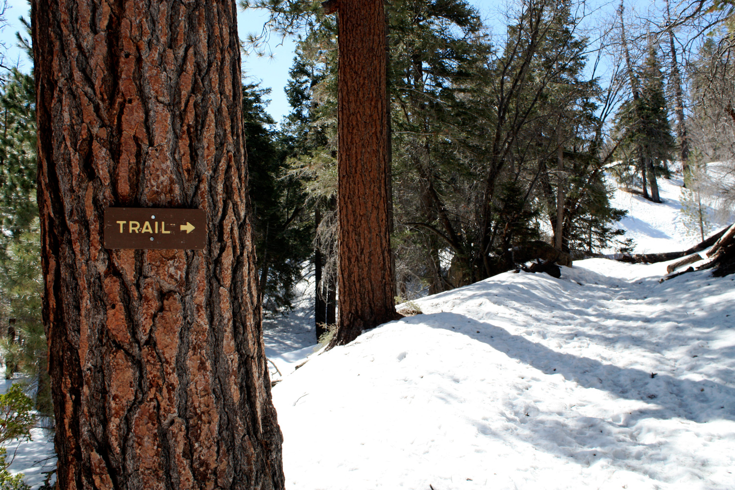
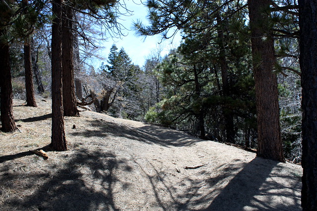
There are no signs leading you to the proper trail, and when I first approached this area, I took a wrong turn and got a bit lost — which I blame mostly on the pretty non-detailed topo map I was using (doh!). If you want to continue on the Pine Knot Trail, turn away from the ridge-road, sticking to the north side of the ridge. The trail continues in a northwestern direction, then quickly bends around another slope and turns southwest.
However, if you want to make a small loop out of this trip, turn right and climb up the very, very steep section of fire road / ski slope, which heads in a mostly-straight line to the southeast.
At the 1.6 mile mark, you meet up with the Sugarloaf Truck Trail. Veer to the right, as the truck trail makes a sharp turn toward the southwest, passing through thick pine and cedar groves. In another tenth of a mile, walk around a locked gate and continue southwest.
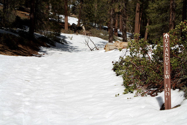
At 2 miles, this truck trail intersects with the Pine Knot Trail, as well as Forest Service Roads 2N08 and 1E0, which is where you would have emerged if you decided to climb up the Pine Knot Trail instead of the truck road. Turn onto 2N08, continuing to the southwest, where you’ll start to see signs for the Grandview Loop — a signal you’re on the right track.
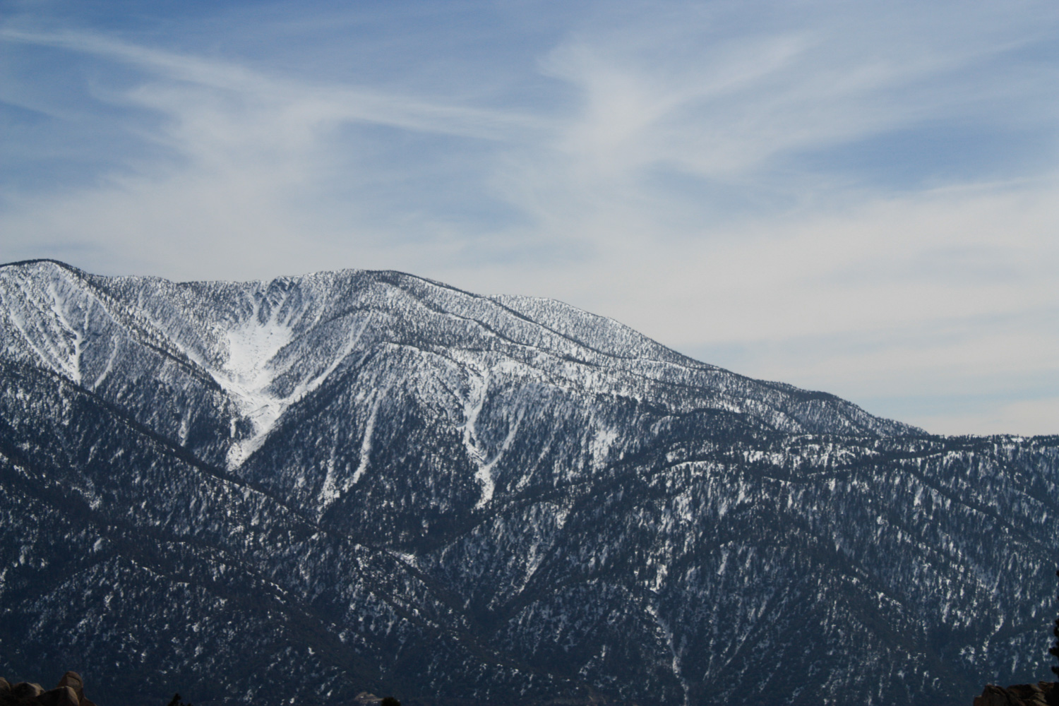
At the 2.8 mile mark, the fire road intersects with fire road 2N10. When I was there, the snow covered the fire road trails, and I turned to the southwest and just climbed the ridge to get a view of the surrounding peaks. This is a fine option, but if you’re looking to hit the named summit of Grand View Point, turn left at the intersection and travel a short distance east on 2N10, looking for a use-trail on the south side of the road to Grand View. I’m told it’s pretty easy to find, but even if you don’t find it, just getting up to the ridge is rewarding in and of itself.
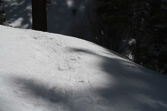
When you’ve had your fill of mountain vistas, turn around and hike back the way you came, but take a trip on the Pine Knot Trail on your descent for a change of scenery. This short section of trail that you skipped on the way up is a winding, shaded, very pleasant alternative to the steep slope of the ridge road. Especially if you’re leaving the lone set of snowshoe prints behind you.
Tags: big bear, grand view point, hikes in big bear, Hiking, pine knot trail, san bernardino mountains, San Bernardino National Forest, snowshoeing