Inyo National Forest‘s Mosquito Flats trailhead may be one of the most popular trailheads in the forest that does not include the words “Whitney” or “Portal.” It’s easy to see why. This high altitude trailhead allows hikers to access landscapes that usually requires many hours and sometimes days to reach. The Little Lakes Valley route, which visits half a dozen beautiful subalpine lakes, attracts hikers in droves. The slightly less popular but no less beautiful route to Ruby Lake, which follows a stretch of the Mono Pass Trail, offers another relatively easy opportunity to bask in glorious High Sierra scenery.

There are two considerations to heed during your preparations for this hike. Although the distance and gain are within reach for most hikers, be warned that starting from the Mosquito Flats Trailhead means that the hike begins just a hair below 10,000′ of elevation. The lack of time allowed for acclimating to the altitude could cause problems for some. It’s best to tackle this hike after you’ve had at least a day and a night before hand to get used to the rarefied air.
Also, the popularity of this route means that the parking situation (not to mention the wilderness permits) often fills up and becomes a competitive contact sport by mid-morning. It will behoove you to start early. Otherwise, you run the risk of having to walk an extra half mile to the trailhead from the overflow parking area.
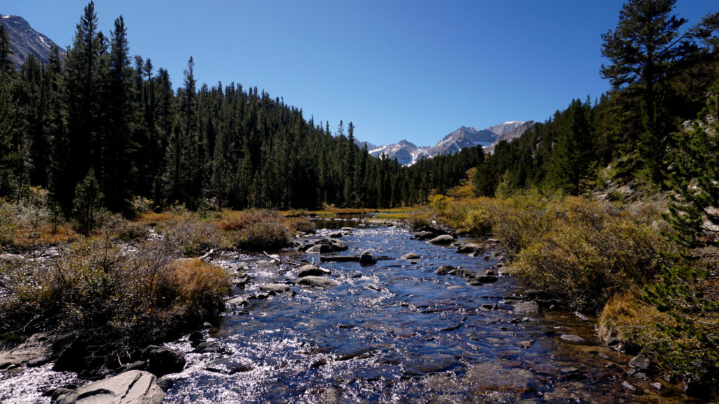
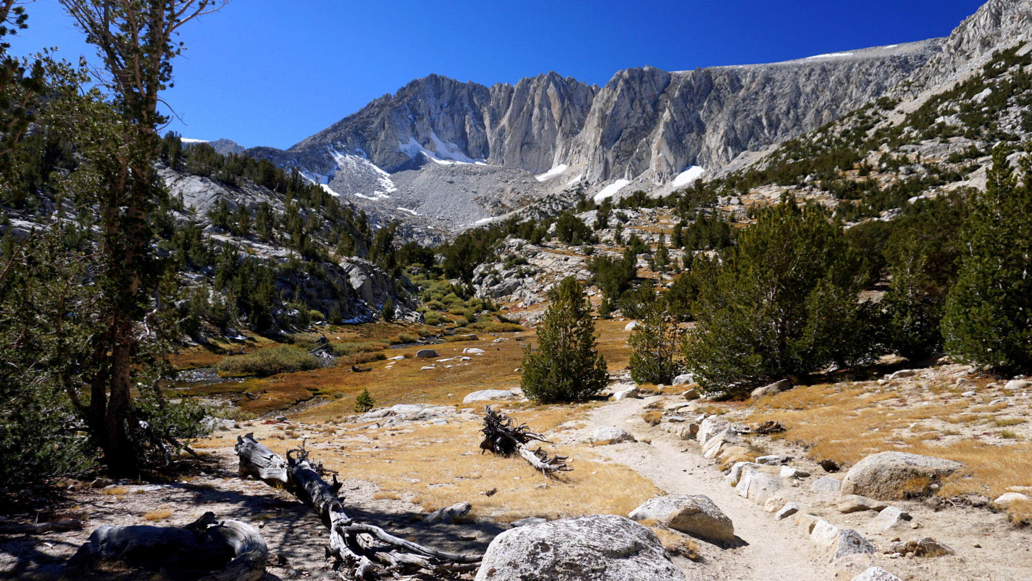
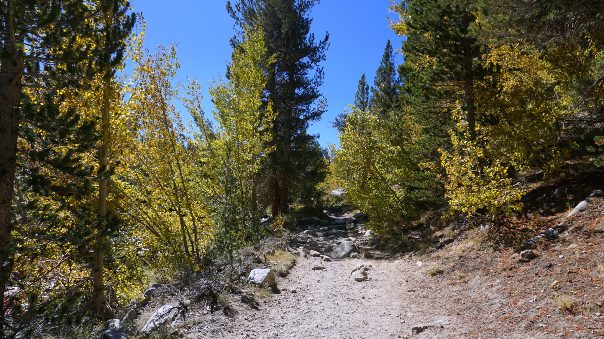
From the parking area, head roughly south-southwest past the signed trailhead and toilets to join the briefly merged Morgan Pass/Mono Pass Trails on a short, uphill climb along Rock Creek through thickets of willows, aspens, and the occasional lodgepole pine. At 0.5 mile, the Morgan Pass and Mono Pass Trails split at a Y-junction. Choose the right fork and begin climbing in earnest, occasionally switchbacking as you start to ascend above Little Lakes Valley.

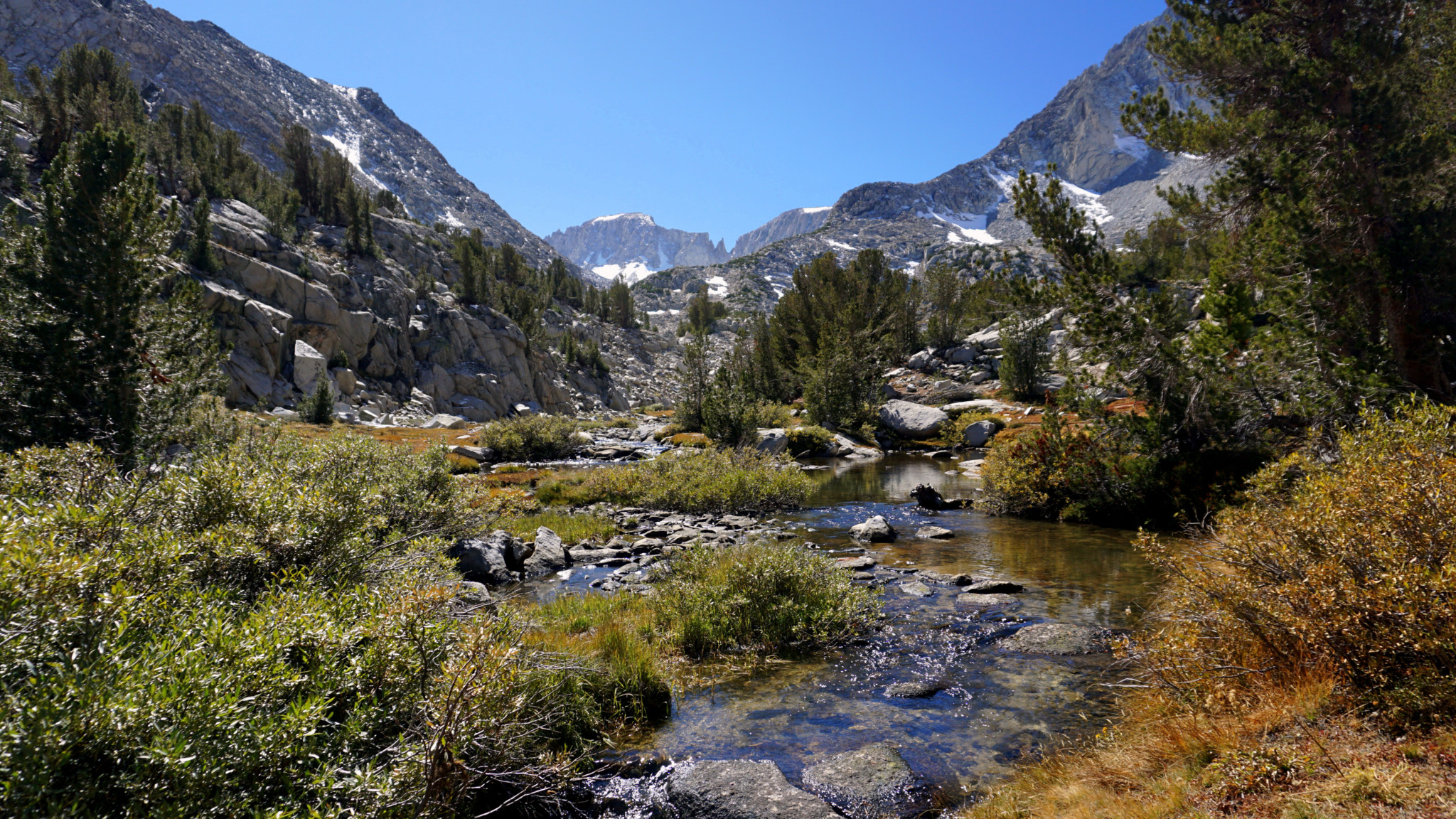
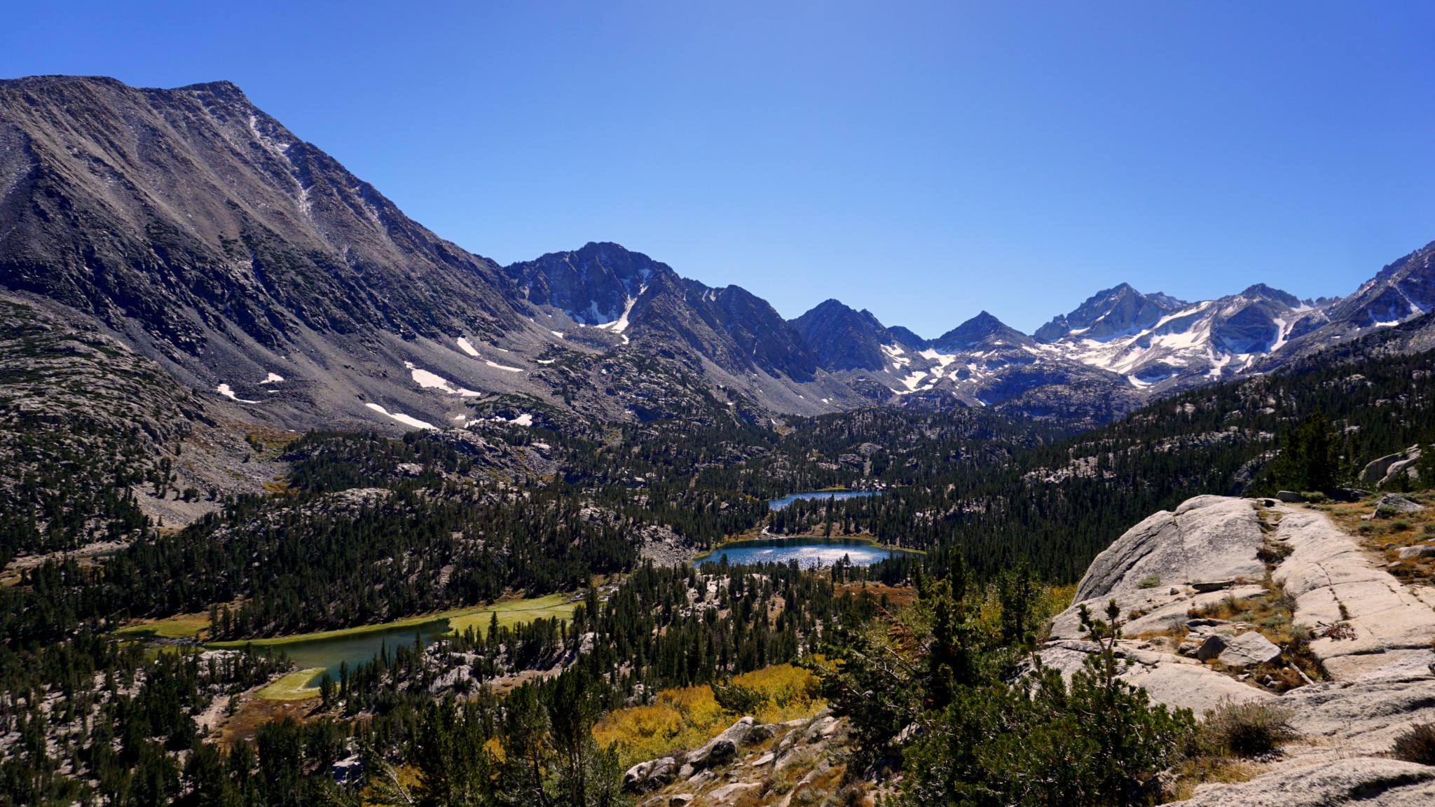
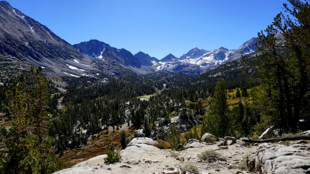
Continue straight past a junction with a connector trail that leads back to the Hilton Lakes Trailhead, and follow the trail as it climbs. Soon, views down into Little Lakes Valley emerge along with the impressive and formidable backdrop of Mounts Mills, Abbot, Dade, and the Bear Creek Spire (North to South). This view stays with you over the next 0.8 mile until the trail bends to the right and leaves Little Lakes Valley behind.

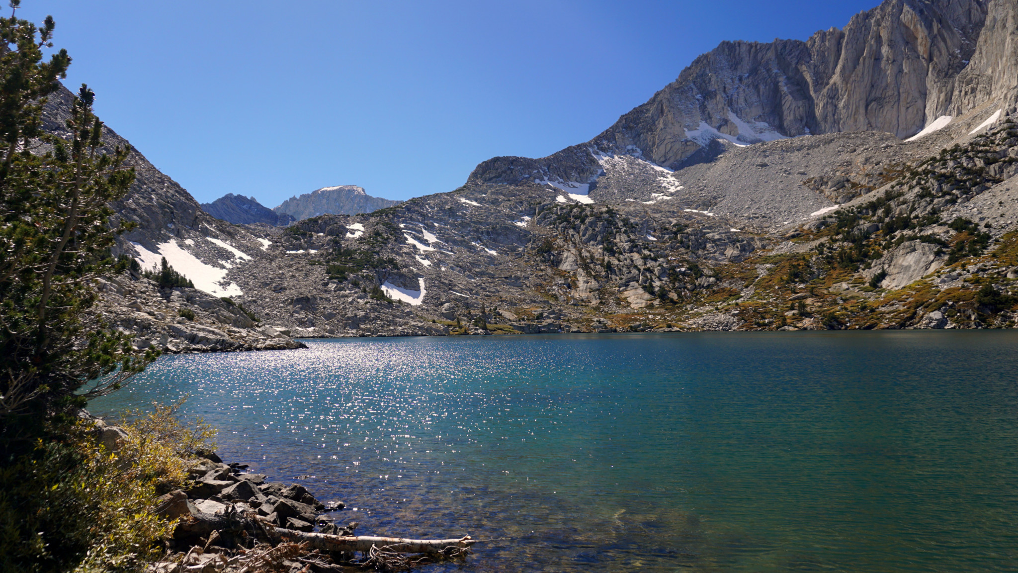
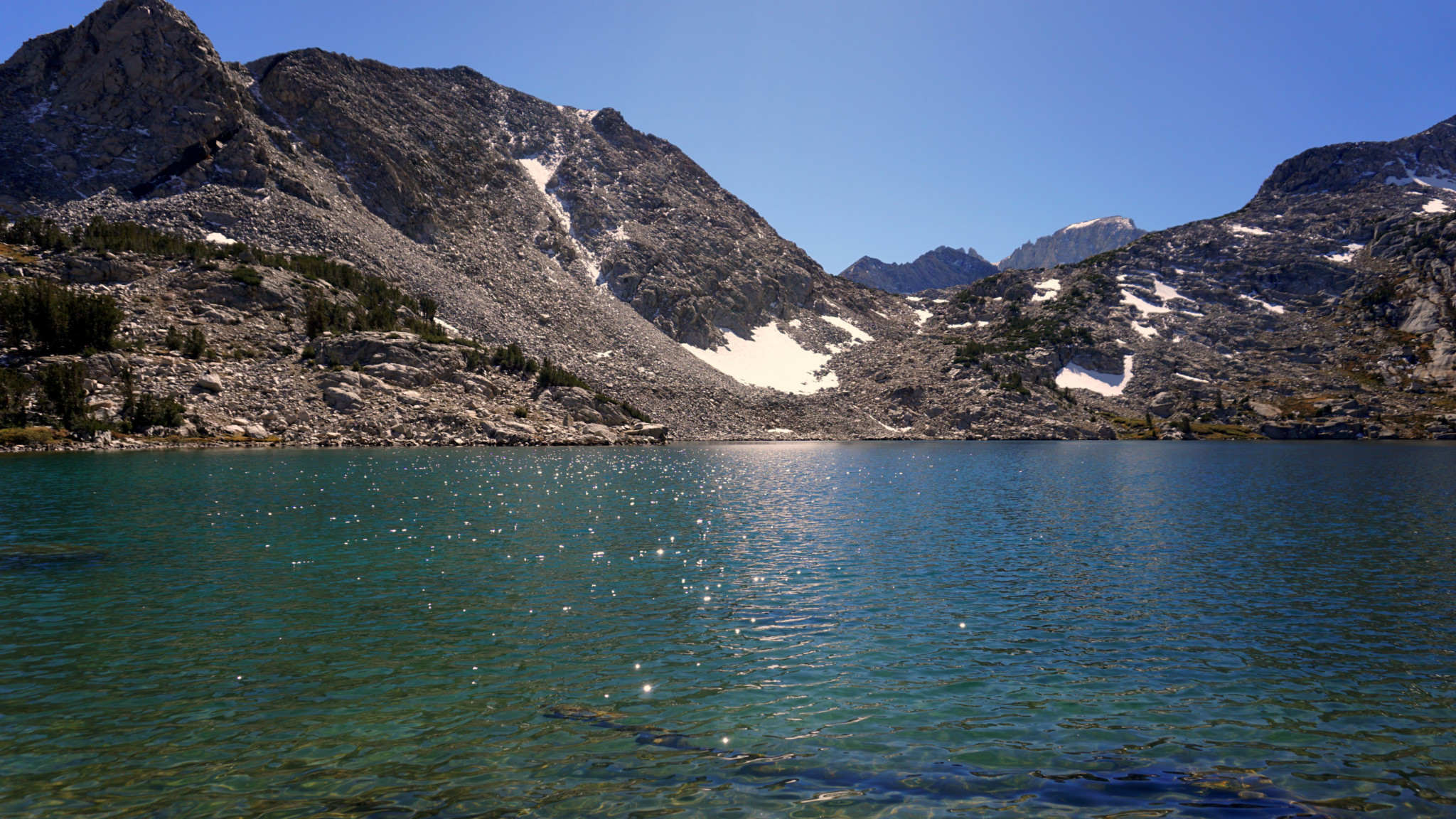
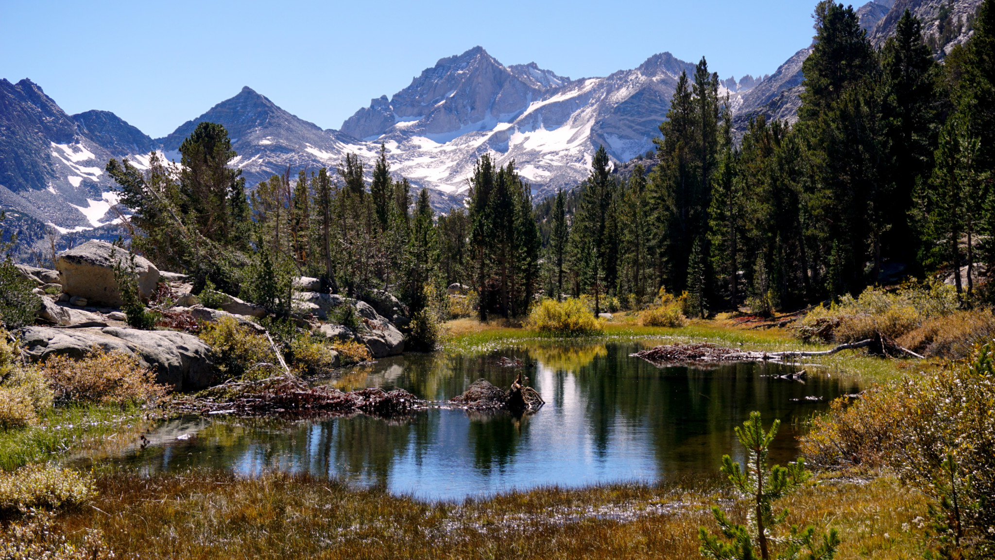
Just after this bend, you will pass a scenic pond before approaching Ruby Lake’s outlet creek. Keep left at the junction where the Mono Pass Trail breaks away on the right to commence the arduous ascent from the pass. From here, it’s a relatively easy .25 mile along the lake’s outlet creek through thickets of willows to the lake’s banks.

There are a number of comfortable spots to sit and rest along the lake’s shore. The rippling waters shimmer in the high altitude sunshine, and the clear, cool water has a translucent quality that I haven’t seen at a number of other lakes. It’s a very beautiful spot. You likely won’t have it to yourself given the ease of access and popularity of the area, but that should not stop you from enjoying a very special place.
Tags: Inyo National Forest, John Muir Wilderness, Little Lakes Valley, Mono Pass, Mosquito Flat, Rock Creek, Rock Creek Recreation Area, Ruby Lake