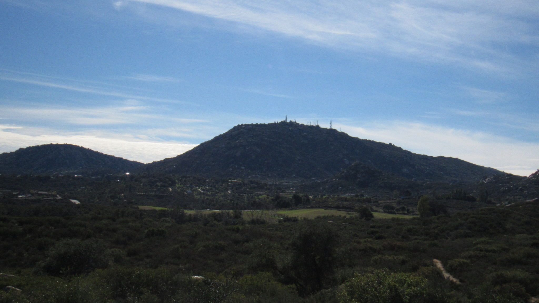
East of the Woodson Mountain complex and the city of Poway, the rugged landscape smooths out into the vast, semi-circular Santa Maria Valley. In prehistoric times, expansive grasslands lined with oak woodlands and trickling streams covered the valley floor beneath the stern gaze of the forested Cuyamaca Mountains. Today, the semi-rural suburban patchwork of Ramona has spread slowly across the valley to the point at 67% percent of the grasslands had succumbed to development.

In order to spare the valley of the fate of so many other Southern California grasslands, the County of San Diego created the Ramona Grasslands Open Space Preserve. This 3,521 acre preserve protects the remaining grasslands, chaparral habitat, and oak woodlands as part of the county’s Multiple Species Conservation Plan designed to protect the county’s endangered species and the habitats they rely upon.

These grasslands protect a number of rare species, including ephemeral fairy shrimp that reside in vernal pools, the endangered arroyo toad, and Stephen’s kangaroo rat. In addition, bird watchers will enjoy observing the area’s raptors in the wintertime. In addition to hawks, ospreys, and vultures, both golden and southern bald eagles are known to frequent the grasslands during the winter.

Much of the Grasslands Preserve remains closed to the public as the County evaluates what, if any of the remaining preserve to open up to recreation. Visitors can still enjoy 3.4 miles of multi-use trail that sample the three primary habitats – grasslands, oak woodlands, and chaparral – protected within the preserve.

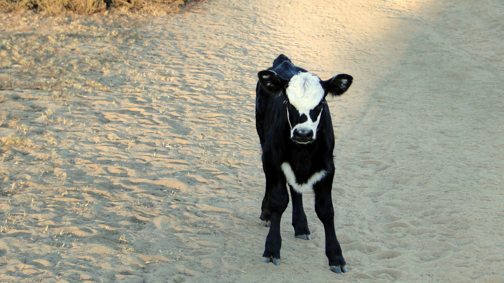
Hikers should also be aware that they will likely share the trail with cattle. The presence of the cattle comes with a grandfathered agreement that allows continued cattle ranching on the preserve. Most of the time, cows are harmless, but momma cows are known to become overprotective, occasionally aggressively, of their youngsters. Give the bovines a wide berth.

From the staging area on Highland Valley Road, follow the wide former dirt road north. At 0.05 mile, the optional Wildflower Trail branches off on the right to loop through woodlands and chamise chaparral before returning to the main path at 0.2 mile. The Wildflower Loop itself is about .8 mile long, and if you skip it the total distance will be 2.6 miles.

Continue north to a second Y-junction at 0.4 mile. At the junction, turn left toward oak woodland comprised of coast live oaks and the relatively uncommon Engelmann oak. A stock pond left dry due to several years of extreme drought lie at the end of a side path at 0.5 miles.

As the trail progresses, it climbs a gentle slope carpeted with fragrant chaparral that comes alive with blossoms during springtime. As the trail gains elevation, views across the valley toward the Volcan Mountains, Cuyamaca Mountains, Palomar Mountains, and El Cajon Mountain reach their fullest expression.

The trail bends to the right at 1.8 miles as it begins its return route back to the Y-Junction. After descending through more chaparral, the trail arrives at a grove of mixed oaks along the normally dry bed of Santa Maria Creek. This creek bed helps to drain the valley into Ramona Reservoir. In addition to preserving habitat, the grasslands also help to buffer and mitigate against the possibility of severe flash flooding. Santa Maria Valley is also a 100 year flood plain, and if too heavily developed, run-off would increase, thus flowing violently downhill into low-lying communities such as Poway.

The trail returns to the Y-junction at 2.2 miles, and from here it is a straight shot back to the staging area.
Tags: Cuyamaca Mountains, Ramona, Ramona Grasslands, San Diego County Parks, Santa Maria Valley, Wildflower Loop, Woodson Mountain


