The Presidio Loop is an urban hike through the Presidio, a national park in San Francisco, just south of the Golden Gate Bridge. The Presidio is a former U.S. military base that has undergone a phenomenal “post to park” transformation since 1994. You can rest for hours with a picnic on the fabulous Main Parade Ground, hike through the 24-mile trail system to coastal batteries and the Golden Gate Bridge, or pick up a coffee and a bite to eat at the Presidio’s Main Post, the heart and cultural center of the park.
This 5.8-mile hike will take you through highlights of the Presidio, including the Presidio Officer’s Club, art sculptures by Andy Goldsworthy, 5 scenic overlooks, coastal batteries, the Golden Gate Bridge Plaza, the Korean War Memorial, and the Walt Disney Family Museum. Although there are clear trail signs, I recommend downloading or picking up a trail map from the Presidio Visitor Center. There are many junctions and it is easy to get turned around.
Once the home of the Ohlone people, Spanish explorers arrived and established a fort or “presidio” here in 1776. The fort changed hands to Mexico in 1822, then the United States in 1846, growing into a major U.S. Army base at the turn of the 20th century. Congress and President Nixon established The Golden Gate National Recreation Area in 1972, and it was decided that if the military ever left the Presidio, it would join the GGNRA. Eventually, that is exactly what happened. In 1989, the Presidio was considered surplus and slated for closure as part of the Base Realignment and Closure Act. In October 1994, the U.S. Army officially transferred the Presidio to the National Park Service: It joined the Golden Gate National Recreation Area and became a national park.

What is so unique and special about the Presidio is that it is home to 200 public, private, and non-profit organizations: schools, museums, hotels—the Lucasfilm headquarters with its iconic Yoda statue—along with 3,000 residents. Revenue from leasing building space, homes, apartments, and event venues goes towards sustaining the Presidio. The Presidio Trust, a federal agency, manages the interior 1191 acres of the Presidio, while the National Park Service oversees 300 acres along the Pacific coast. The non-profit Golden Gate National Parks Conservancy is a valued partner, supporting the park with public programs, fundraising, and environmental rehabilitation.
When Congress and President Clinton created the Presidio Trust in 1996, it was tasked with making the Presidio self-sufficient; otherwise, it would be sold to interested buyers. Pulling for it to remain a national park, the situation lit a fire under the Presidio Trust to do everything they could to make the park self-sustaining. In the end, they triumphed! In 2013, the park was in the black and became fully self-sustaining without taxpayer dollars.
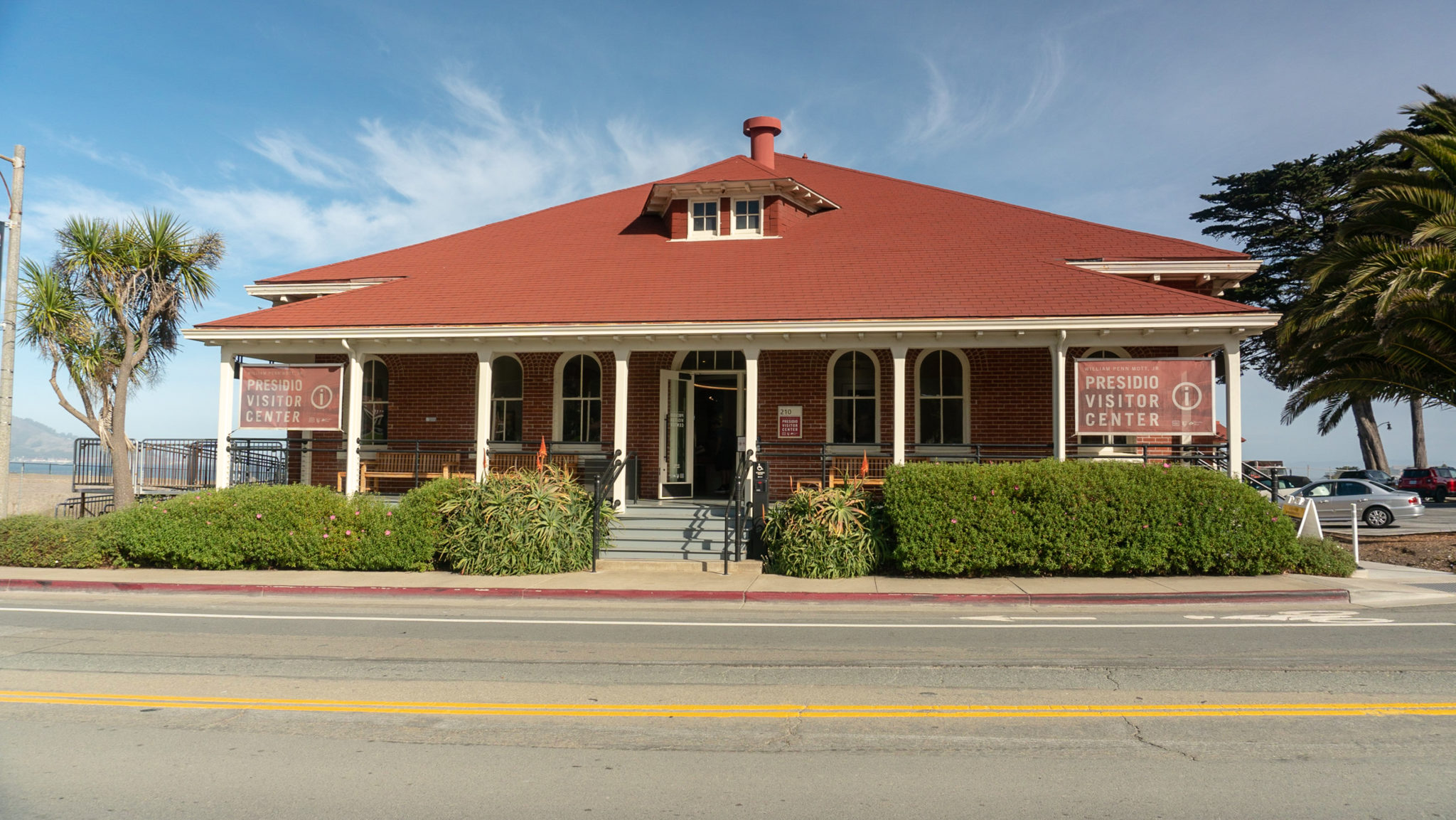
So let’s get started! Begin your hike at the Presidio Visitor Center at the corner of Lincoln and Anza Avenue. The visitor center just opened in 2017, and is a great place to pick up free maps, check out interactive displays, and get your U.S. National Parks passport stamped.

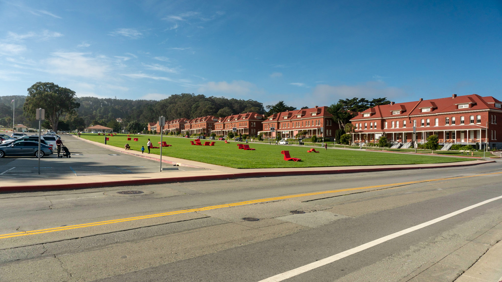
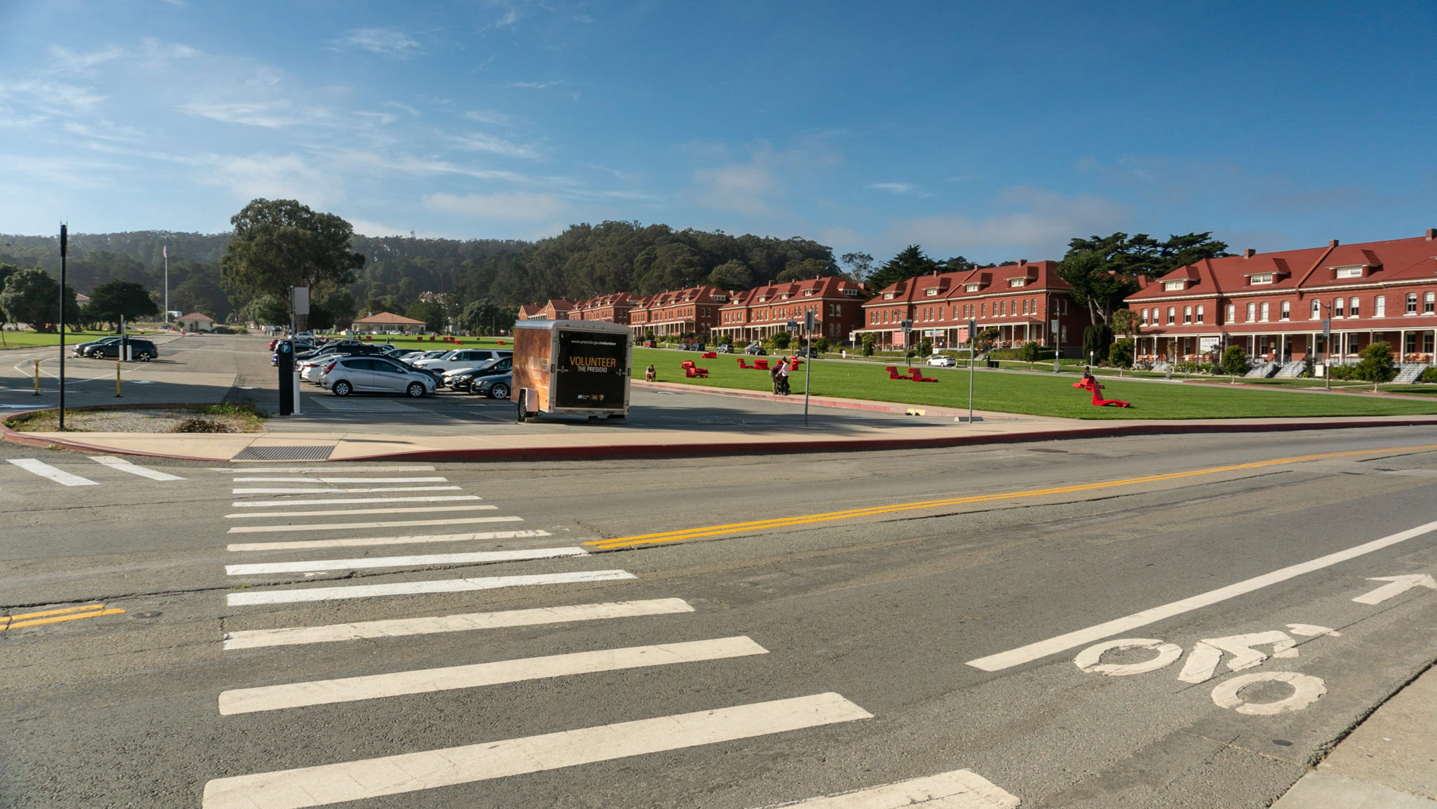
From the visitor center, head southwest towards the flagpole. The great big great lawn to your right is the Main Parade Ground, a gathering place for family-friendly events throughout the year. The red share chairs out on the lawn are for public use, and can be flipped and moved around as you like. It is a beautiful spot for picnicking: the bay views and tiny sailboats are postcard-worthy.

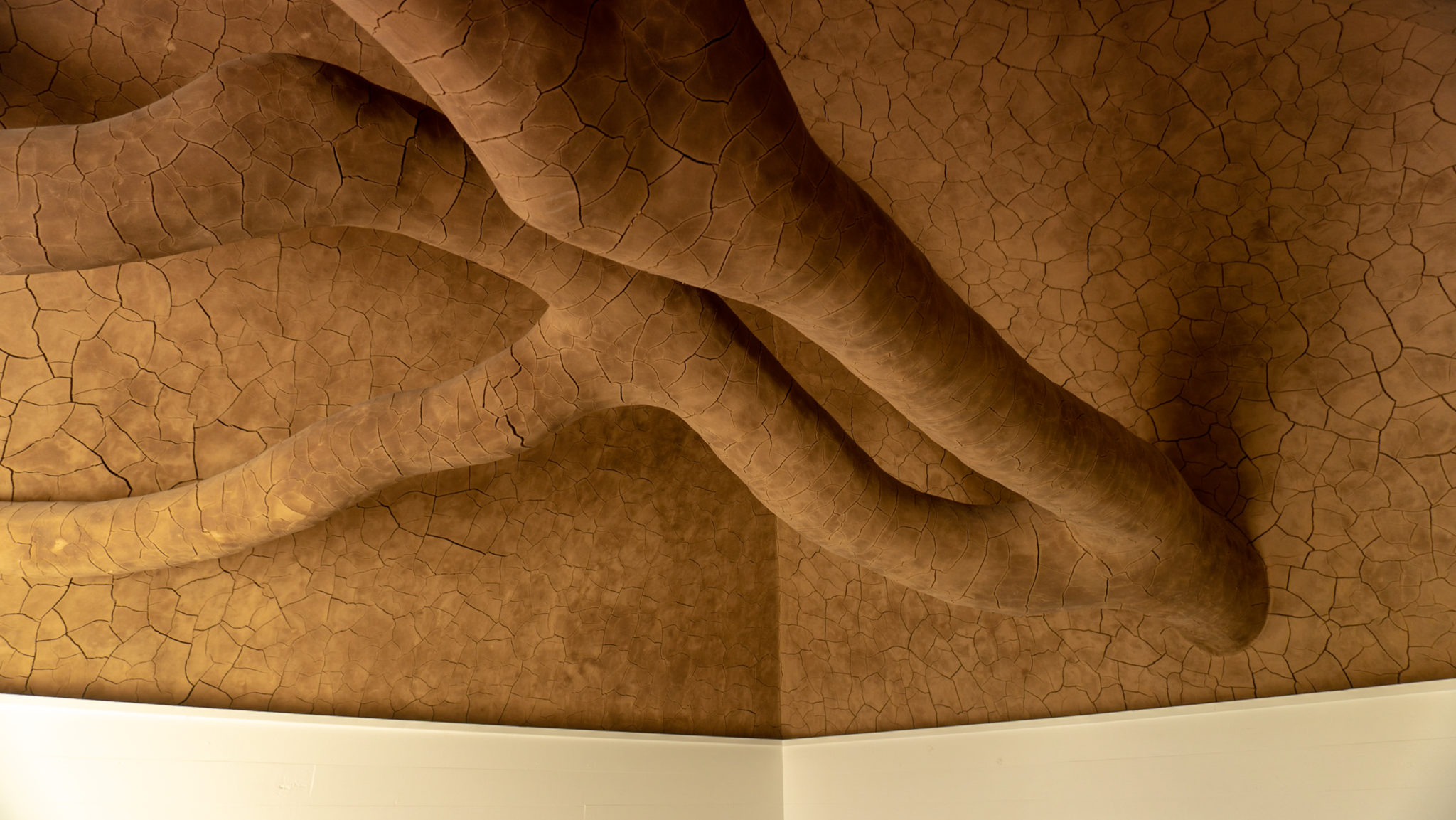
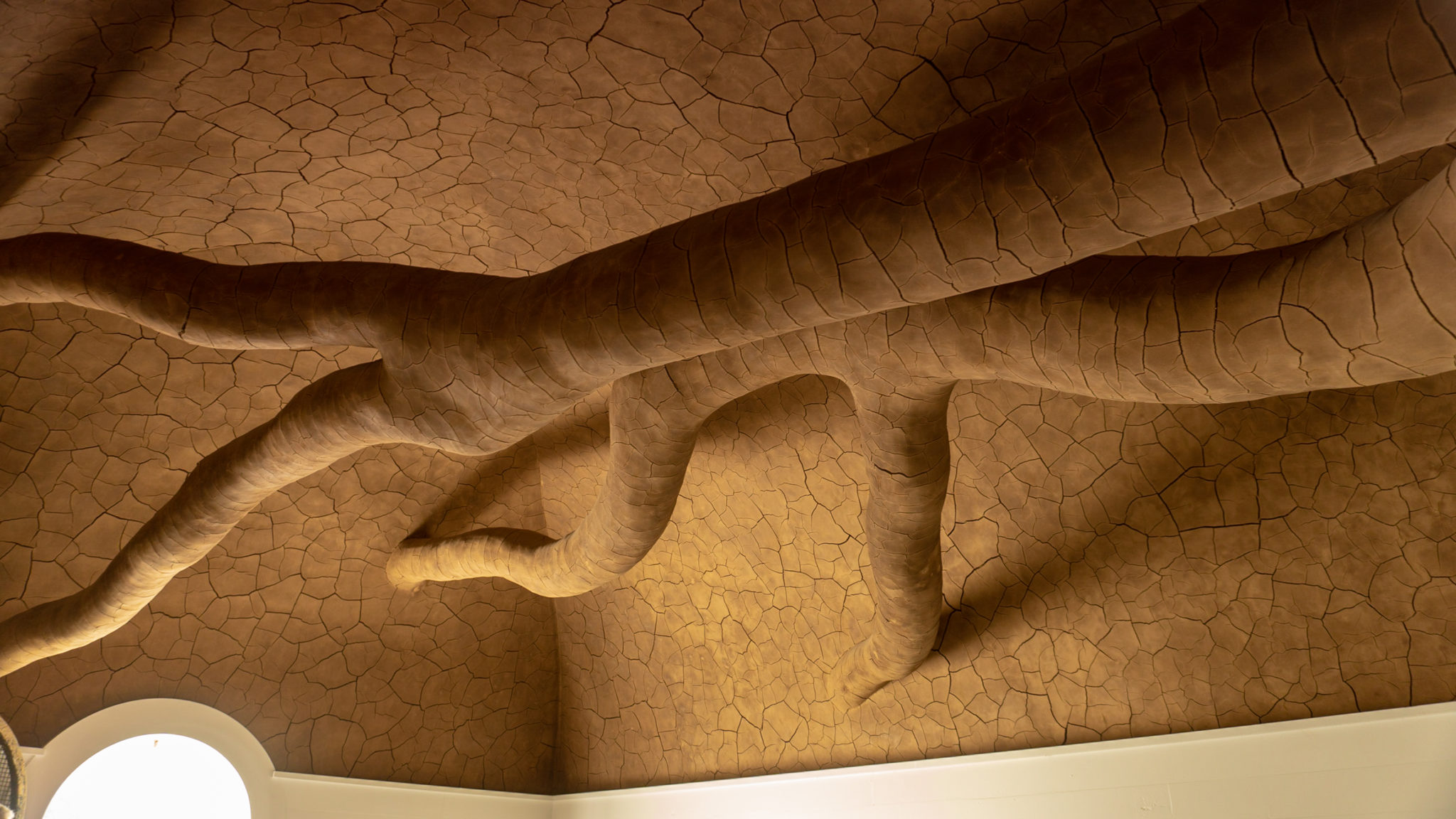
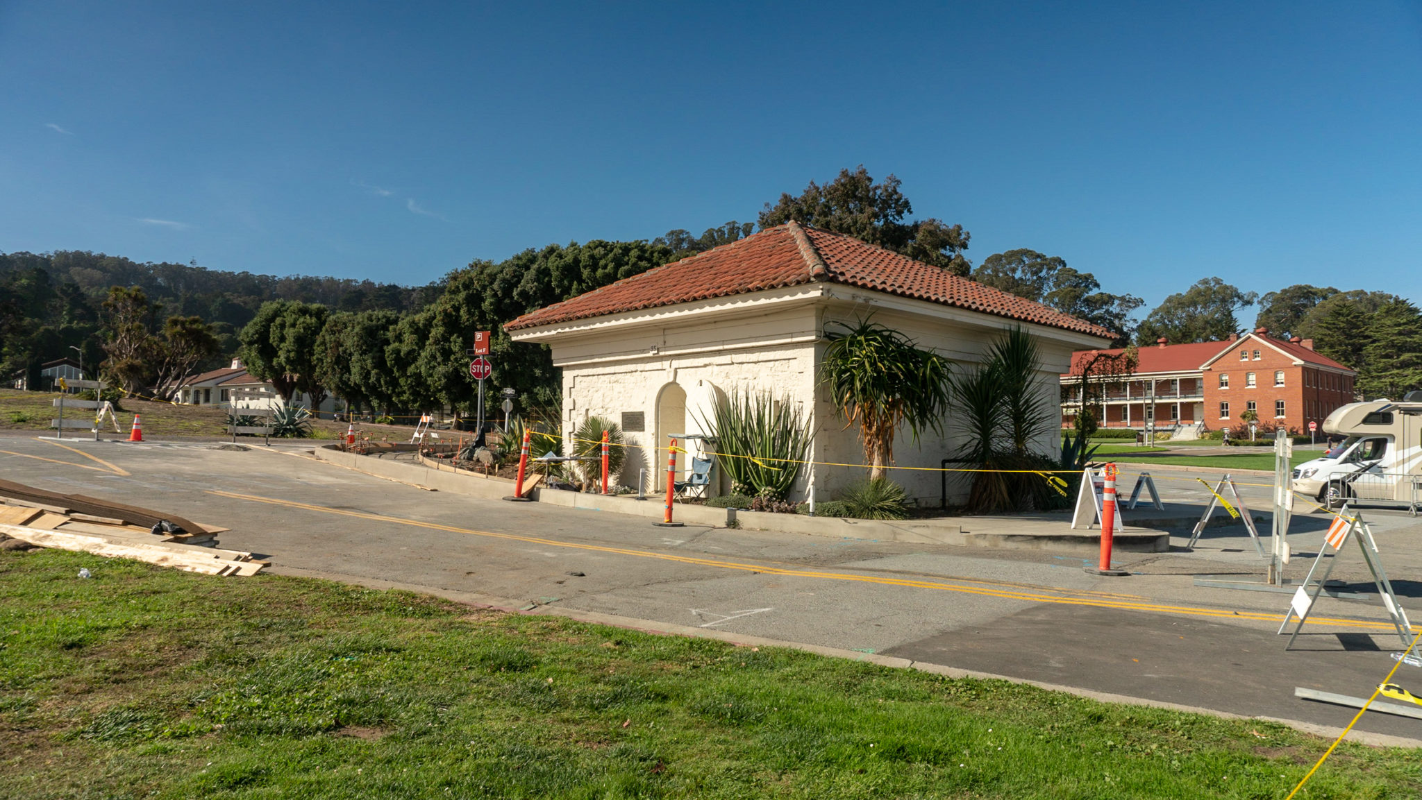
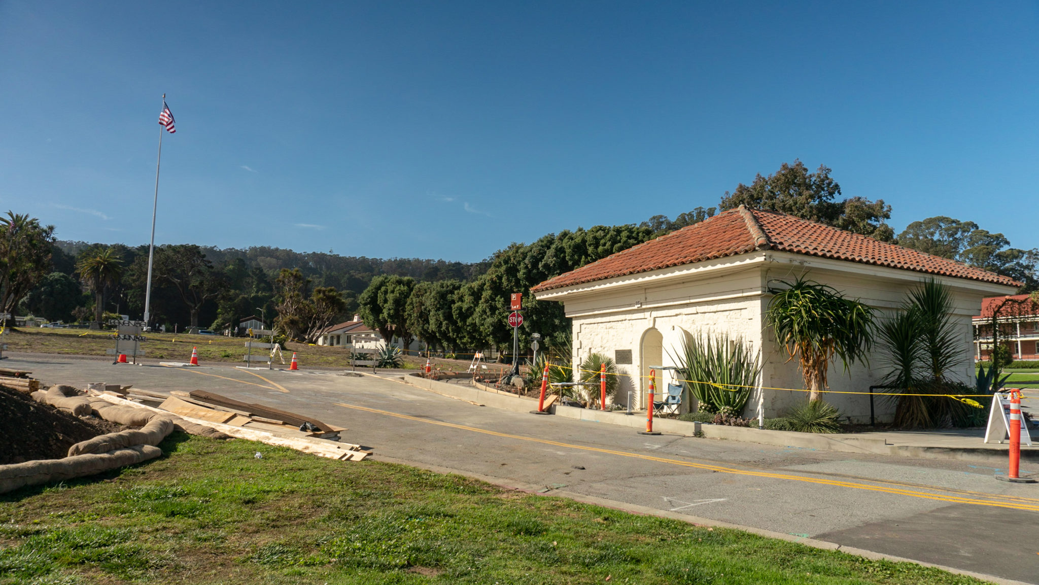
As you hike southwest, keep your eye out for a small white square building on your left in 0.3 miles—it is easy to overlook. The nondescript building is a former powder magazine that once held ammunition. Its four-foot thick stone walls and domed roof were built to contain an explosion, so that if the ammunition somehow ignited, it would go up, not out toward the surrounding buildings. Inside is a sculpture called Tree Fall by site artist Andy Goldsworthy. You can see it on weekends when docents staff the building.


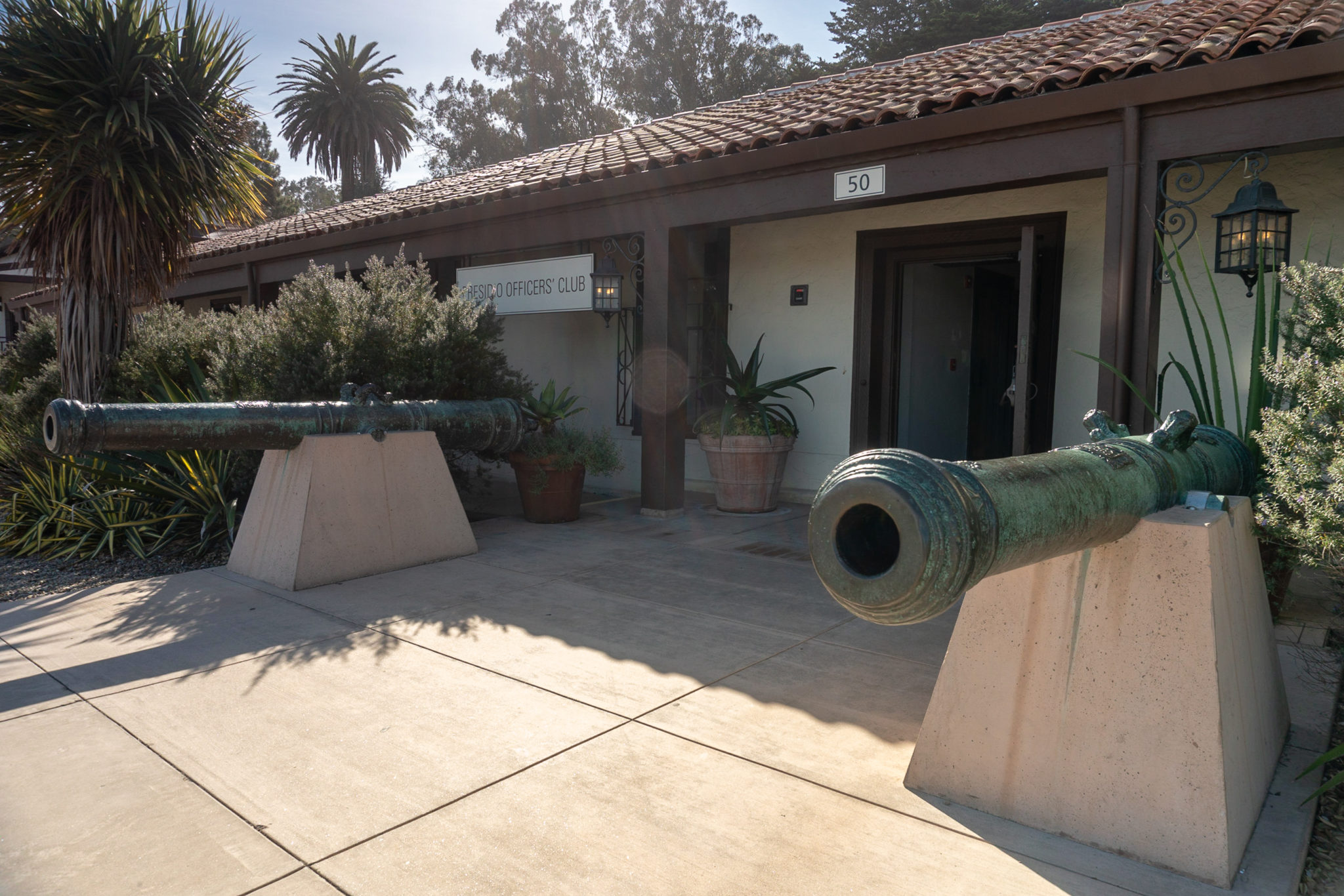
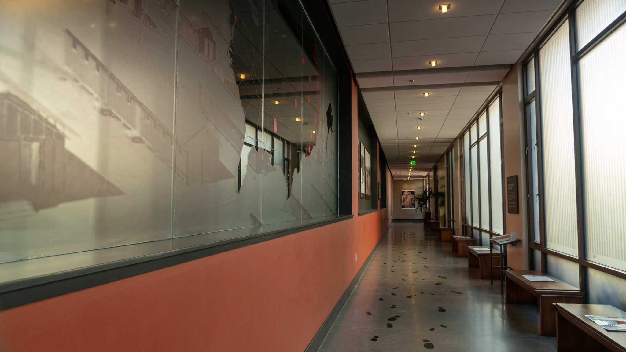
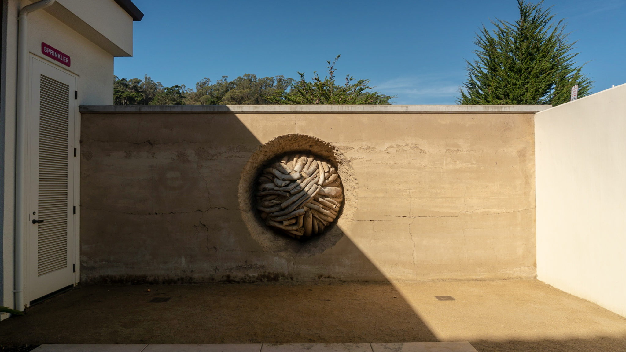
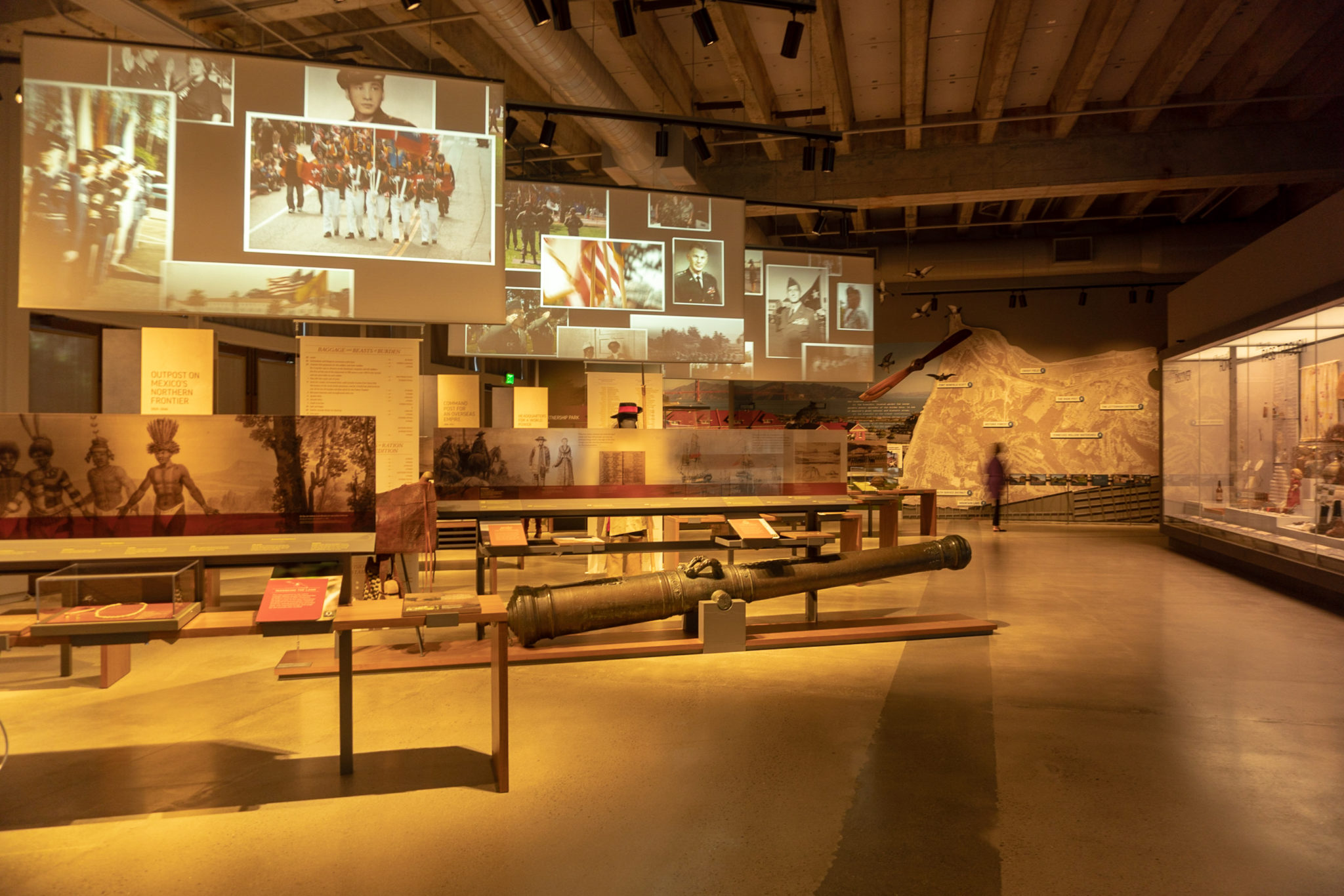
Past the powder magazine, head southwest on Graham Street towards the two cannons at the Presidio Officer’s Club. The San Pedro cannon on the right and Poder cannon on the left are bronze cannons cast in Peru in 1673. Head inside the Presidio Officer’s Club and visit the Heritage Gallery to learn more about the history of the Presidio and to see another sculpture by Andy Goldworthy called Earth Wall.


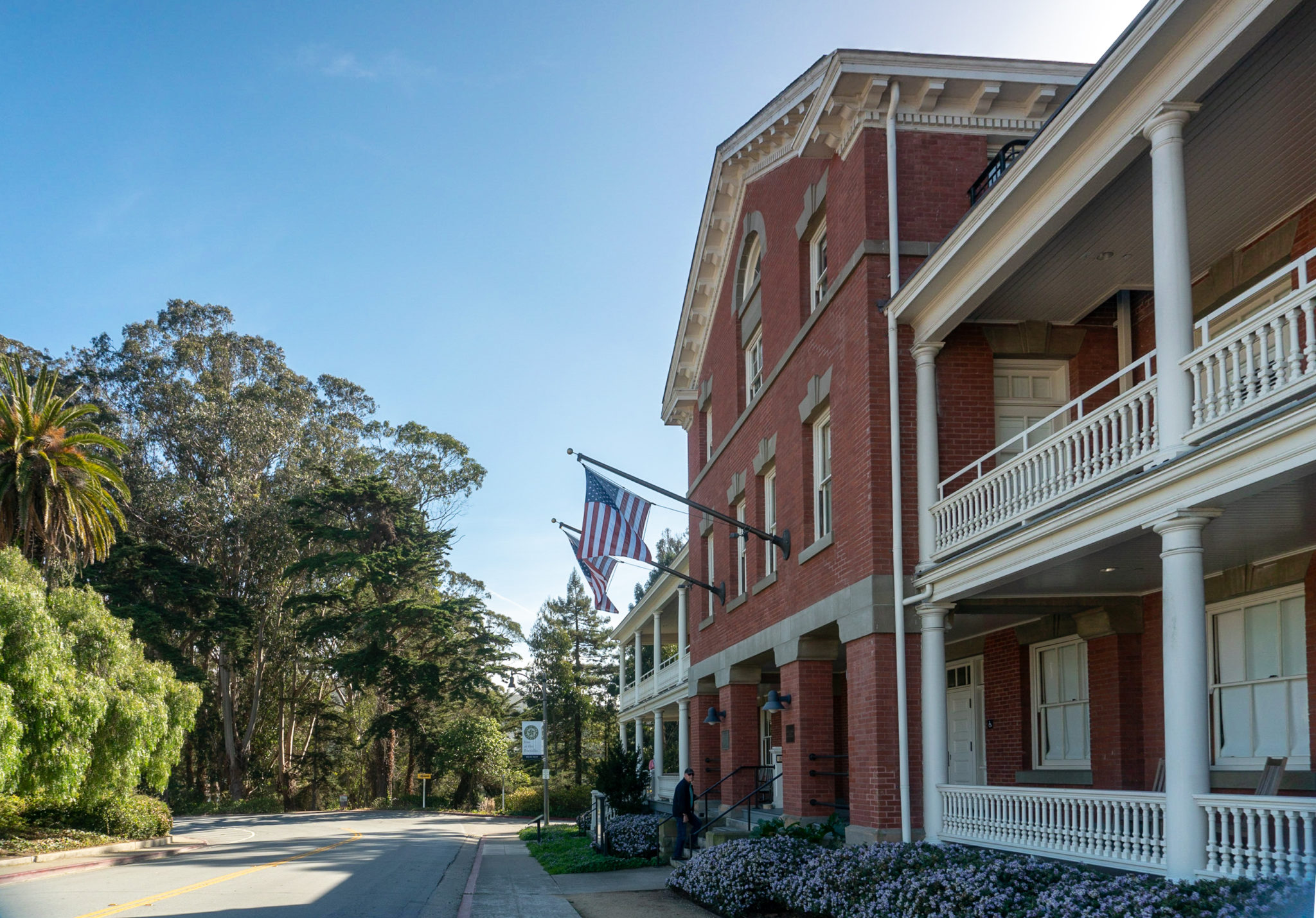
After exploring the Officer’s Club, turn right to head southeast towards the Inn at the Presidio, one of two hotels located in the Presidio’s grounds. Walk past the Inn and turn right at the lamppost with a sign that says “Guest Pick-up and Drop-off.” Hike towards the back of the parking lot and Ecology trailhead.

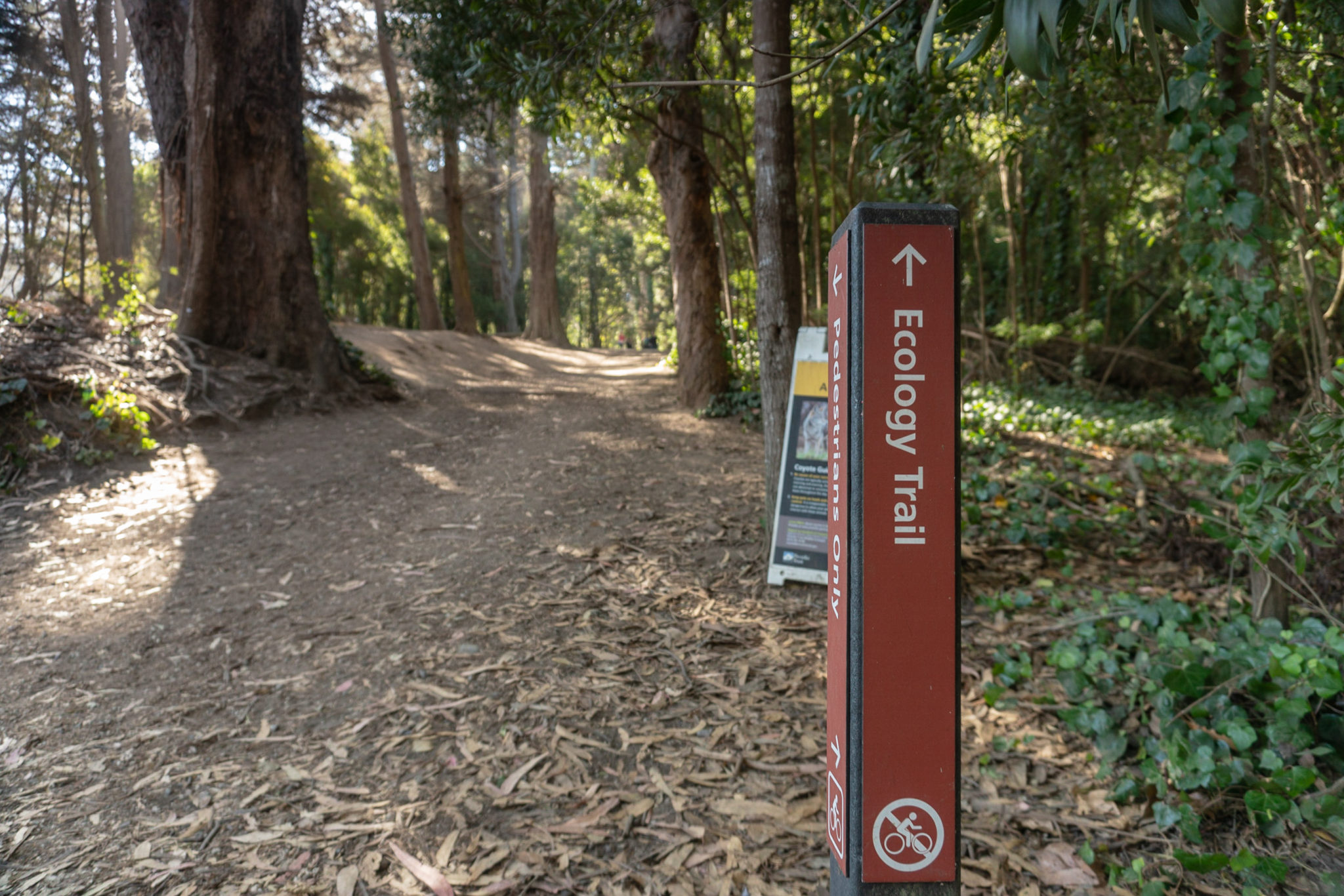
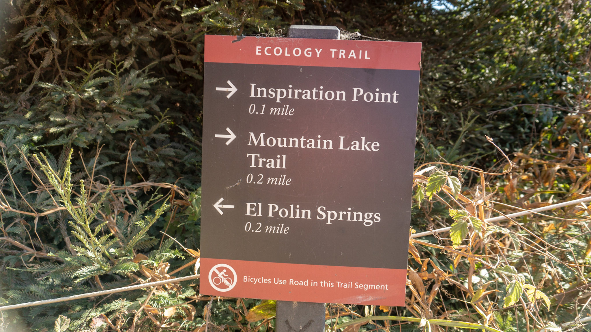
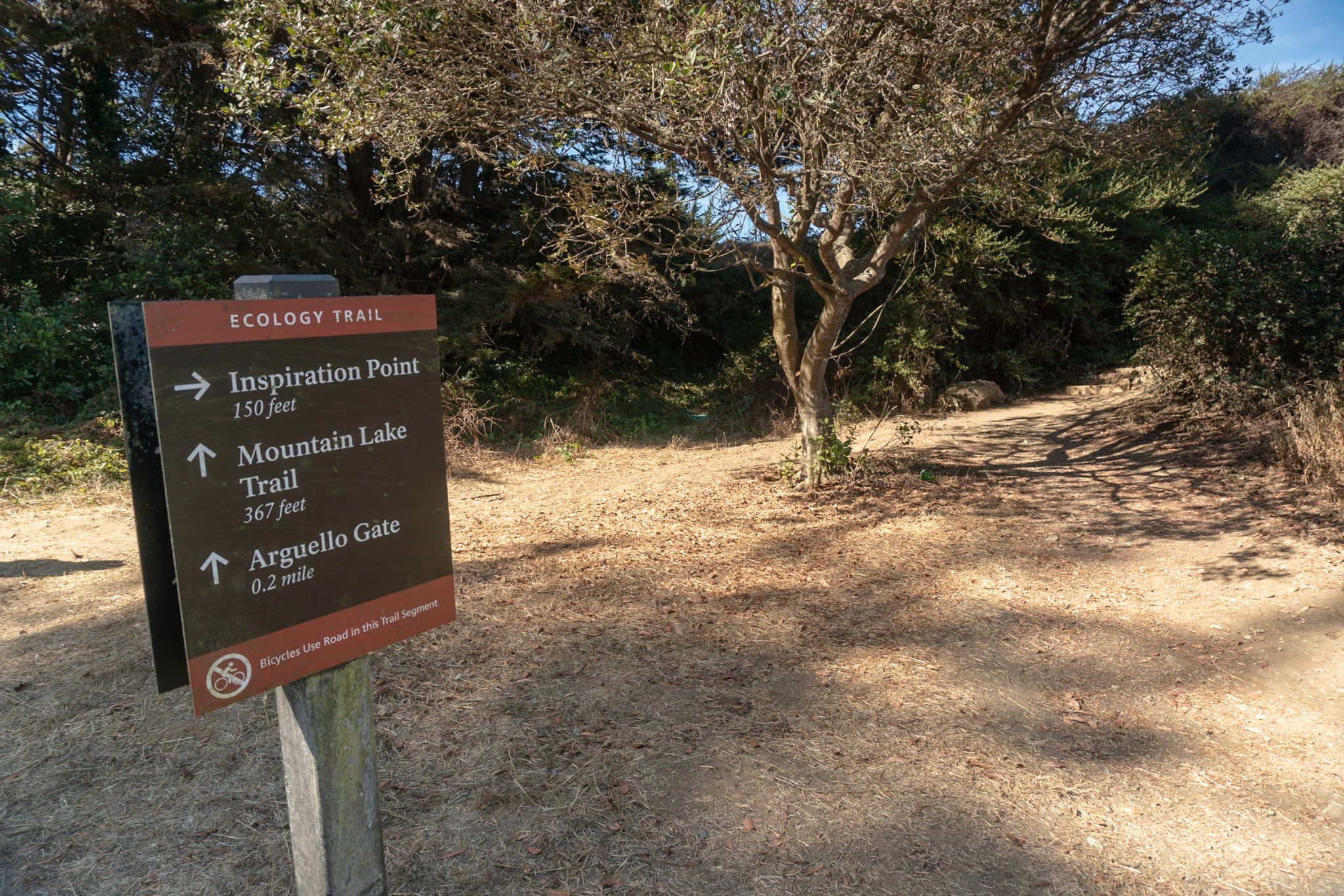
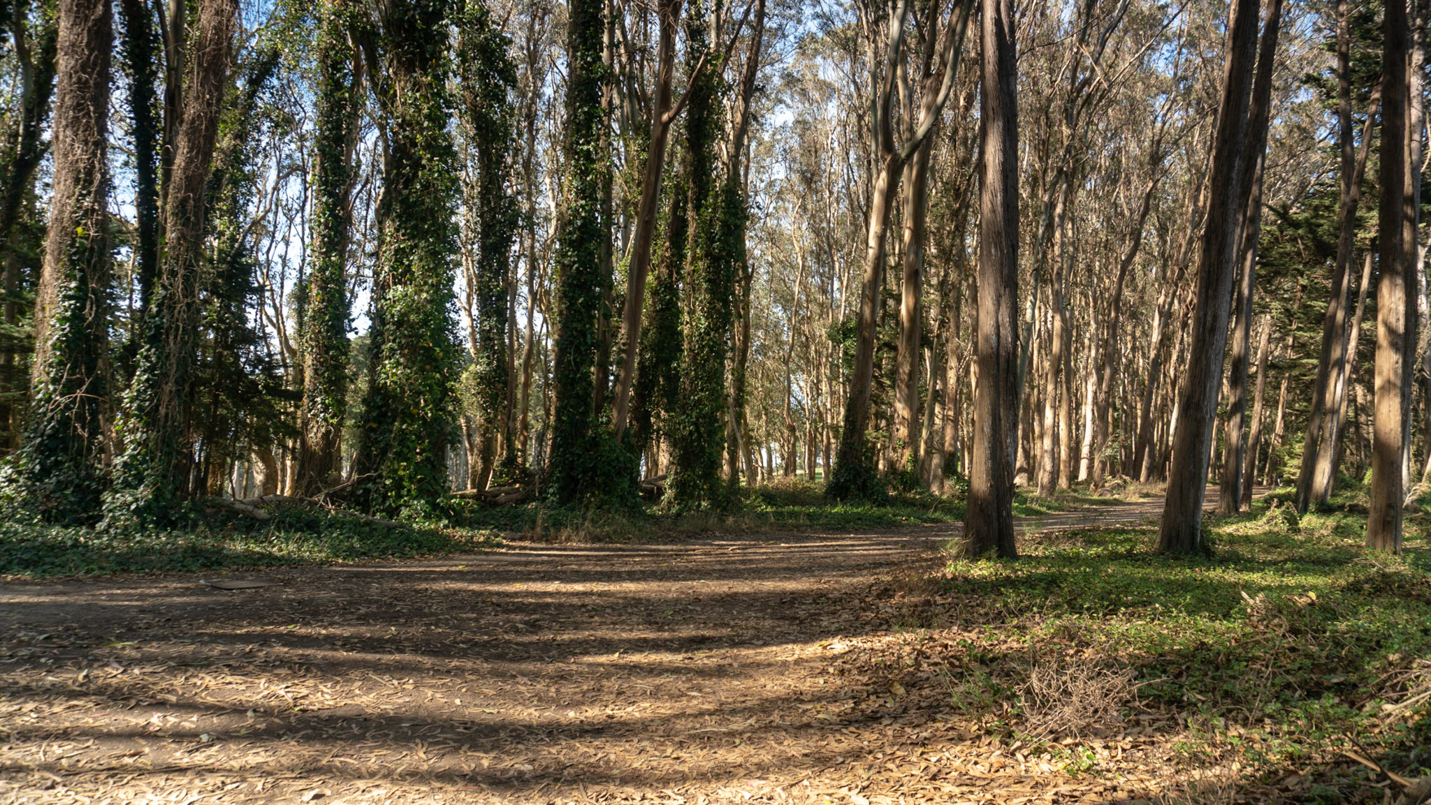
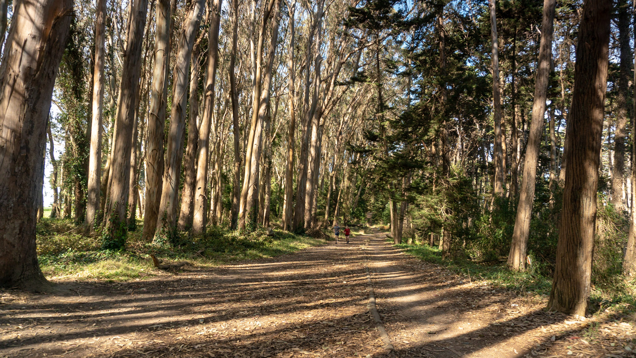
At 0.6 miles, spot the sign for the Ecology Trail and begin hiking south on the soft dirt trail towards Inspiration Point. The forest of eucalyptus, Monterey cypress, and redwoods is a quiet refuge within San Francisco, and it is common to see families, dog-walkers, runners, and hikers enjoying the trails. At this point, you have crossed over from the Main Post section of the park into the Southern Wilds.

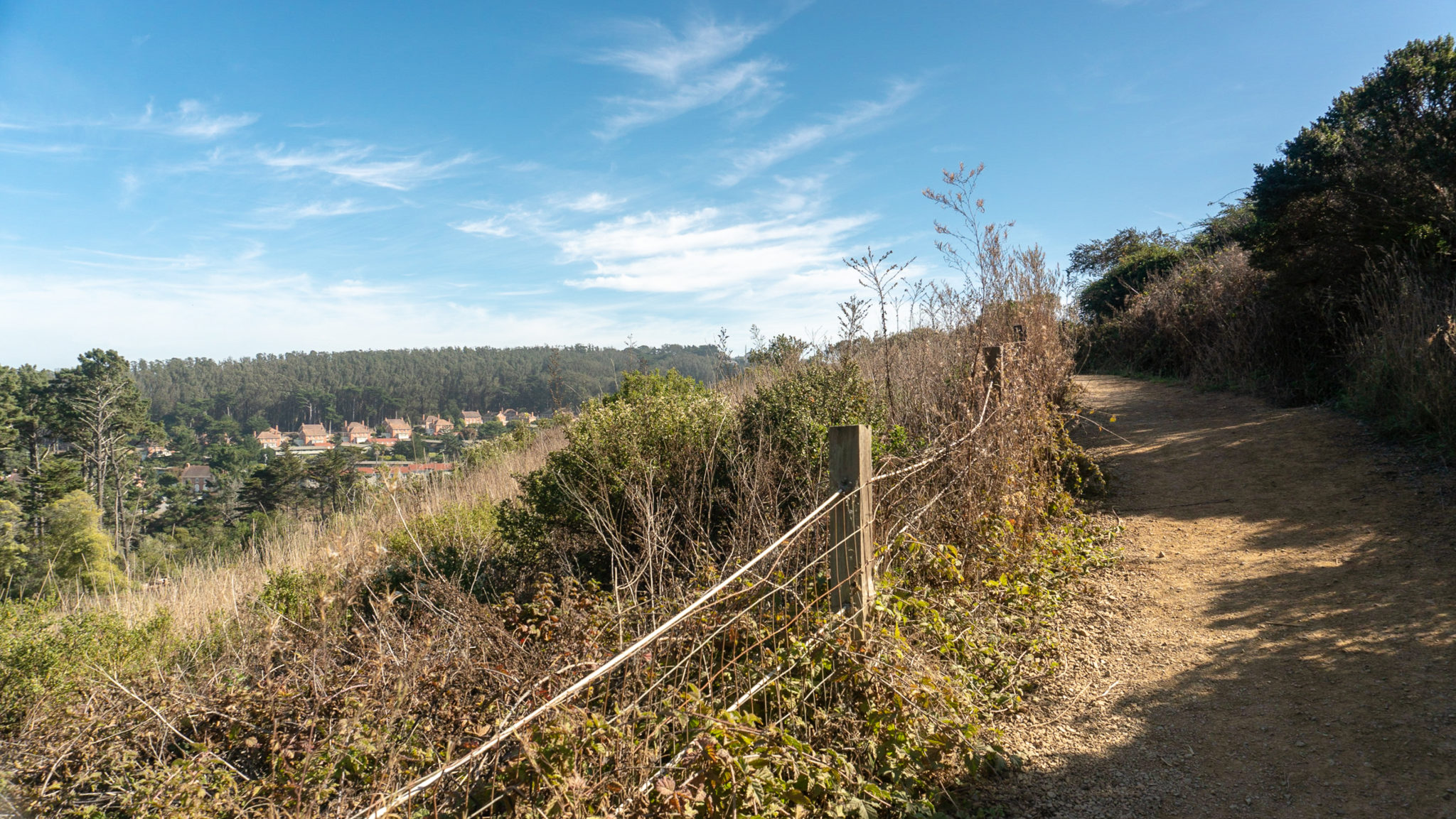
Climb 200 feet over the next 0.6 miles on the Ecology Trail, following signs for Inspiration Point.


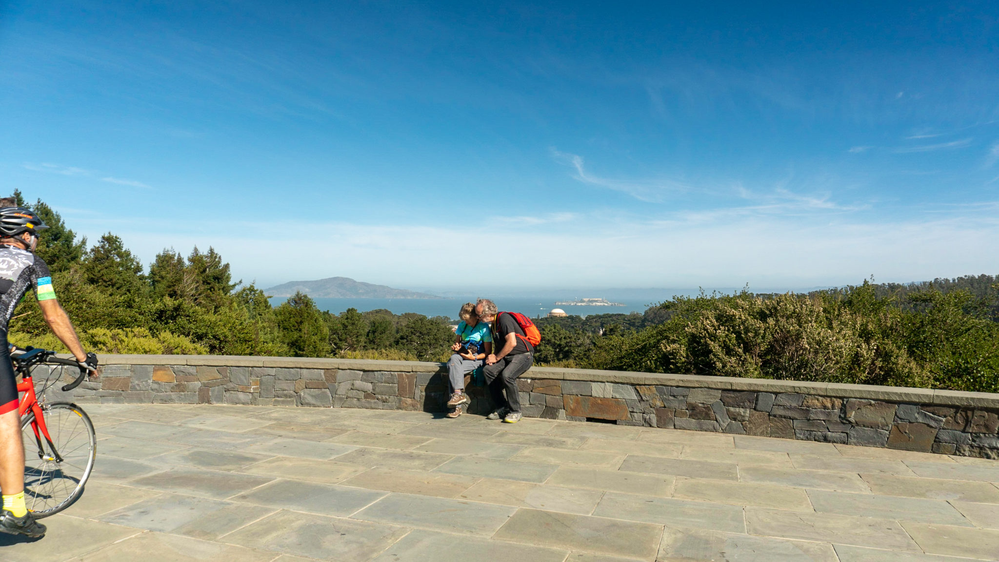
Reach the Inspiration Point Overlook and parking lot at the 1.2-mile mark, the first of five overlooks along this route. Built in 2001, Inspiration Point features view of Angel Island, Alcatraz, Palace of Fine Arts, and the San Francisco Bay.

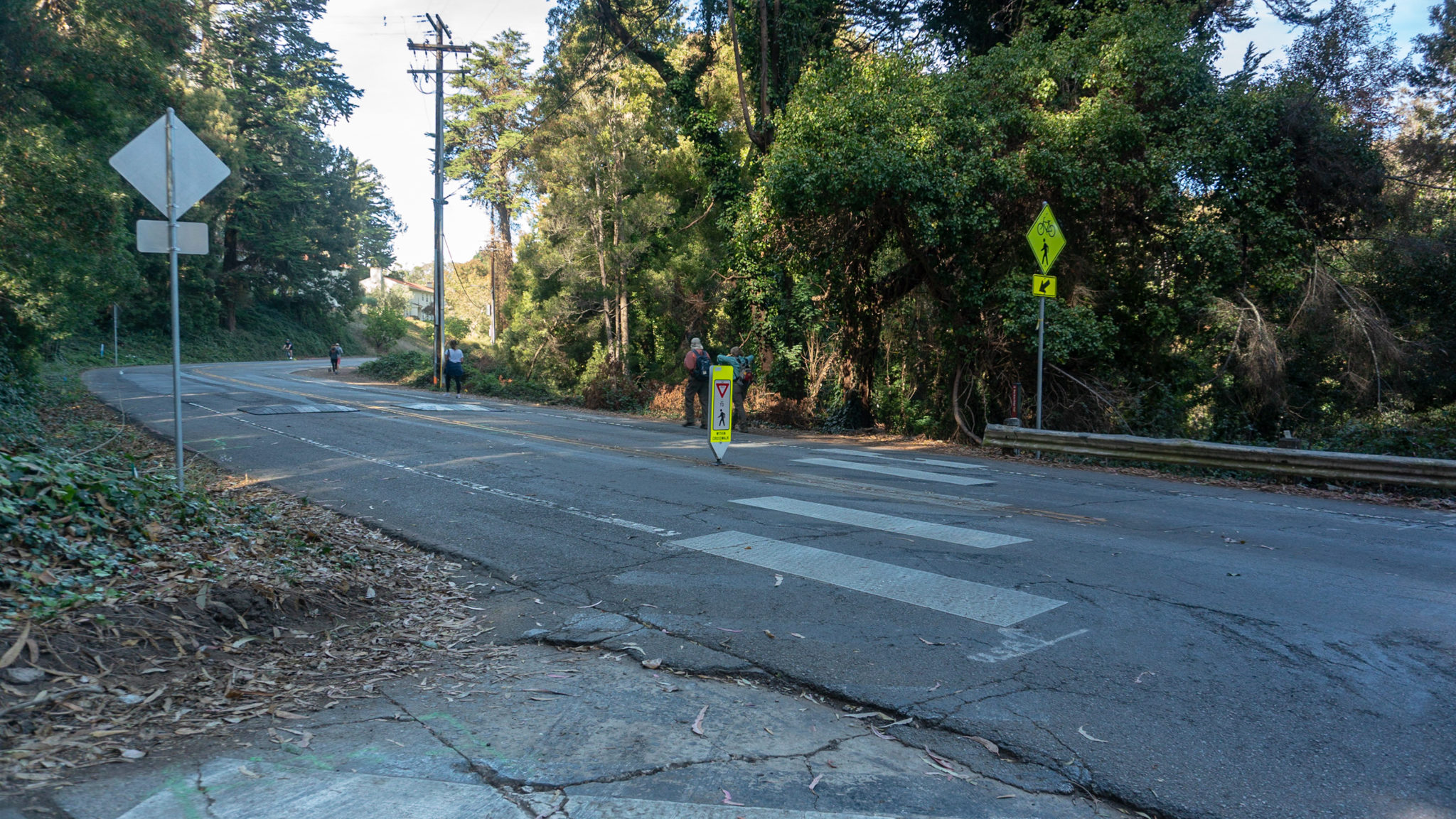
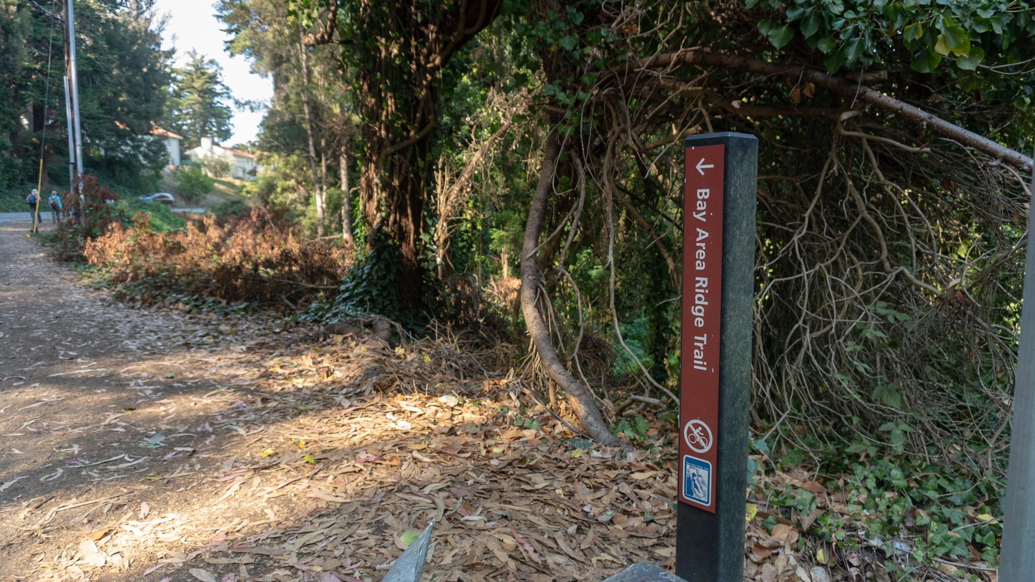
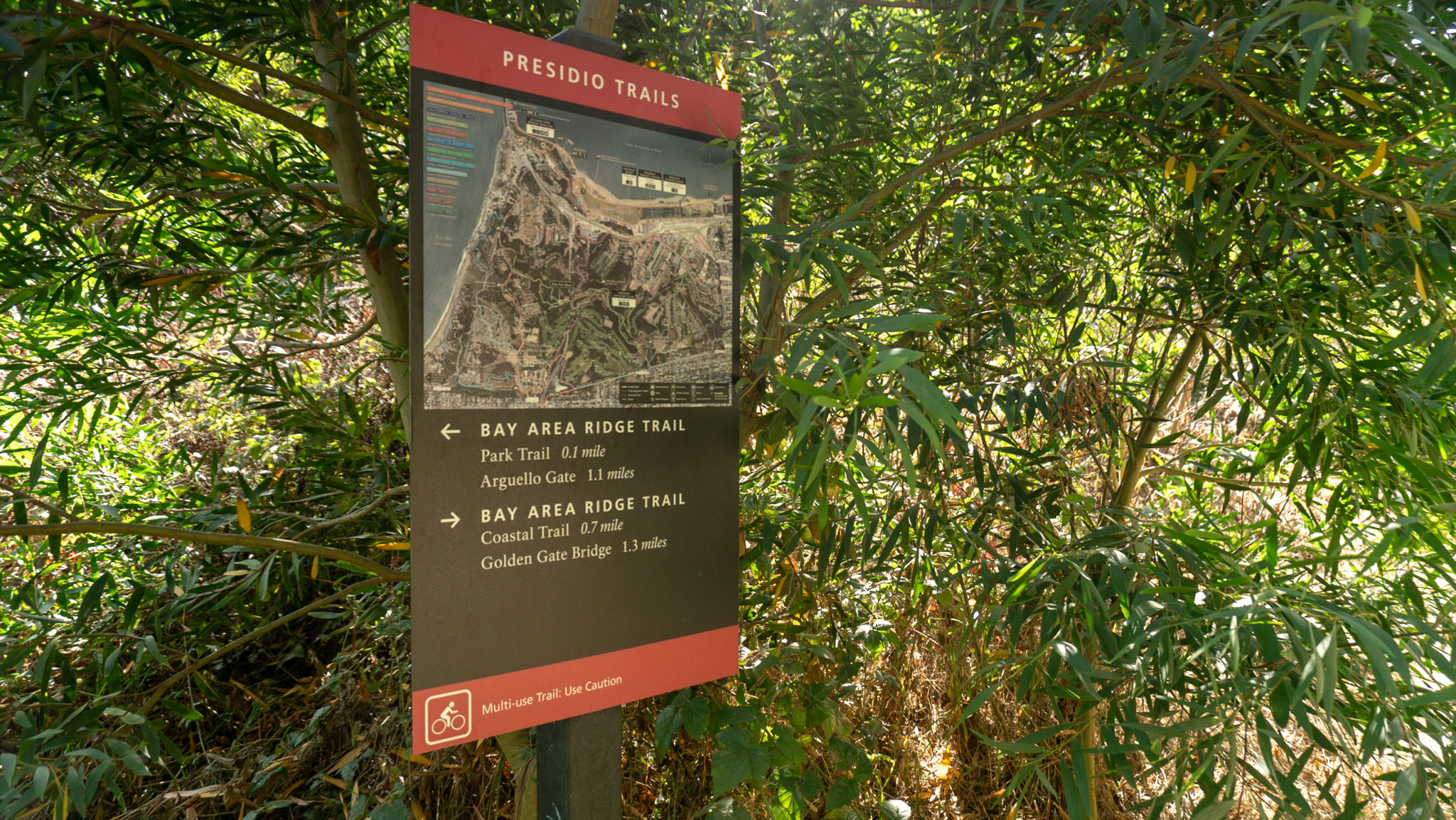
When ready, follow the asphalt sidewalk on the southeastern side of the parking lot to Arguello Boulevard. Walk south for 400 feet along Arguello Boulevard, then turn right at a crosswalk towards the Presidio Golf Course (there are nice restrooms and a cafe here if you need a break). Spot the Bay Area Ridge Trail sign next to the Presidio Golf Course sign.


At the 1.3 mile-mark, turn right again onto the Bay Area Ridge Trail, a 550-mile loop trail through the San Francisco Bay Area. As of November 2018, 375 miles of the loop are complete, and this stretch is part of a 2.5-mile section that runs through The Presidio.

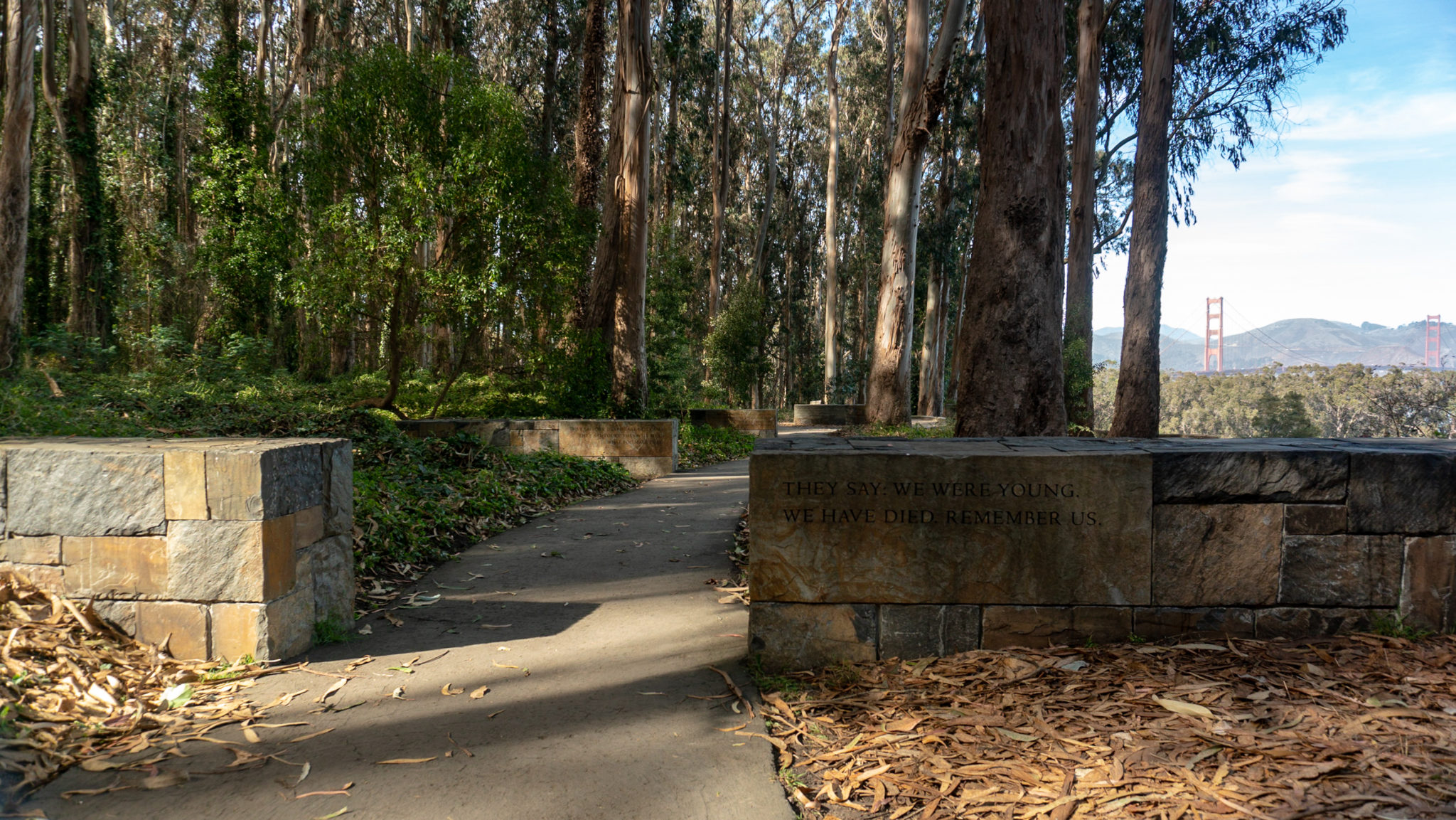
Hike northwest and in 500 feet, turn right to see the Spire, the first sculpture created by artist Andy Goldsworthy in the Presidio. Goldsworthy and the Presidio Trust forestry crew constructed the 97-foot-tall sculpture out of 37 Monterey cypress tree trunks in 2008. The sculpture is a nod to the past forestation of the Presidio by the U.S. Army’s in the late 1800s, and the current reforestation effort underway to help rehabilitate and rejuvenate the forest. It’s spire-like shape is evocative of church spires and man-made spired buildings in San Francisco, a blend of nature and city, past and modernity.


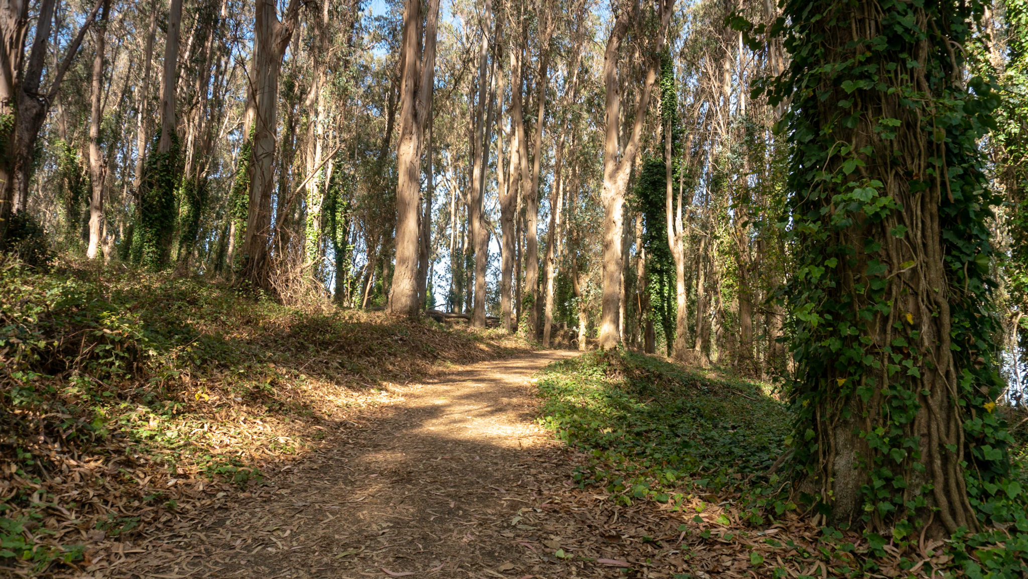
Head northwest on a shady section of monterey cypress mixed with eucalyptus, following signs for the Bay Area Ridge Trail towards the National Cemetery Overlook. This bike-friendly portion of the route is lovely and invigorating, with fresh air and views of the bay peeking through the trees. The wide dirt trail is big enough to walk comfortably in groups.

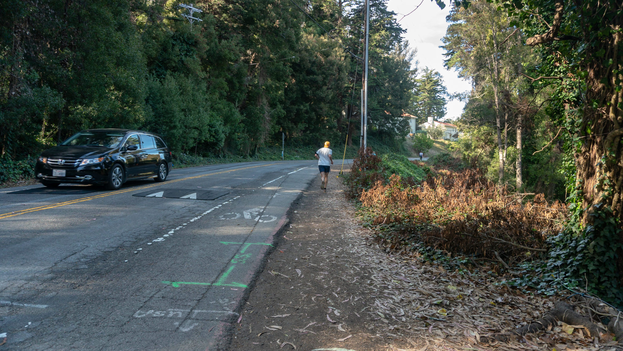
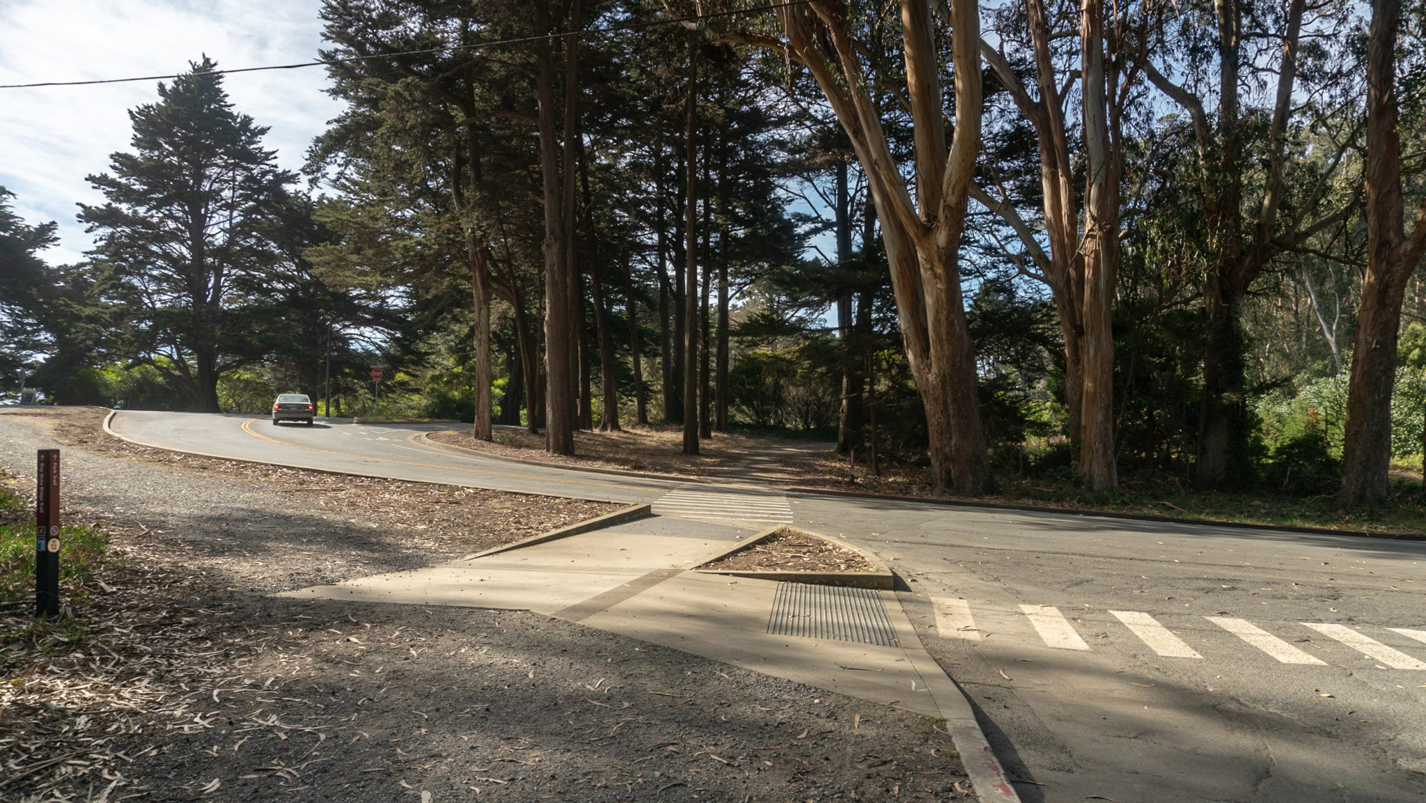
0.3 miles after the Spire, turn right to cross Washington Boulevard to the trail on its shoulder. Bear right again onto the shoulder of Nauman Road, staying on the curbside trail. Merge onto a paved trail towards the National Cemetery Overlook.


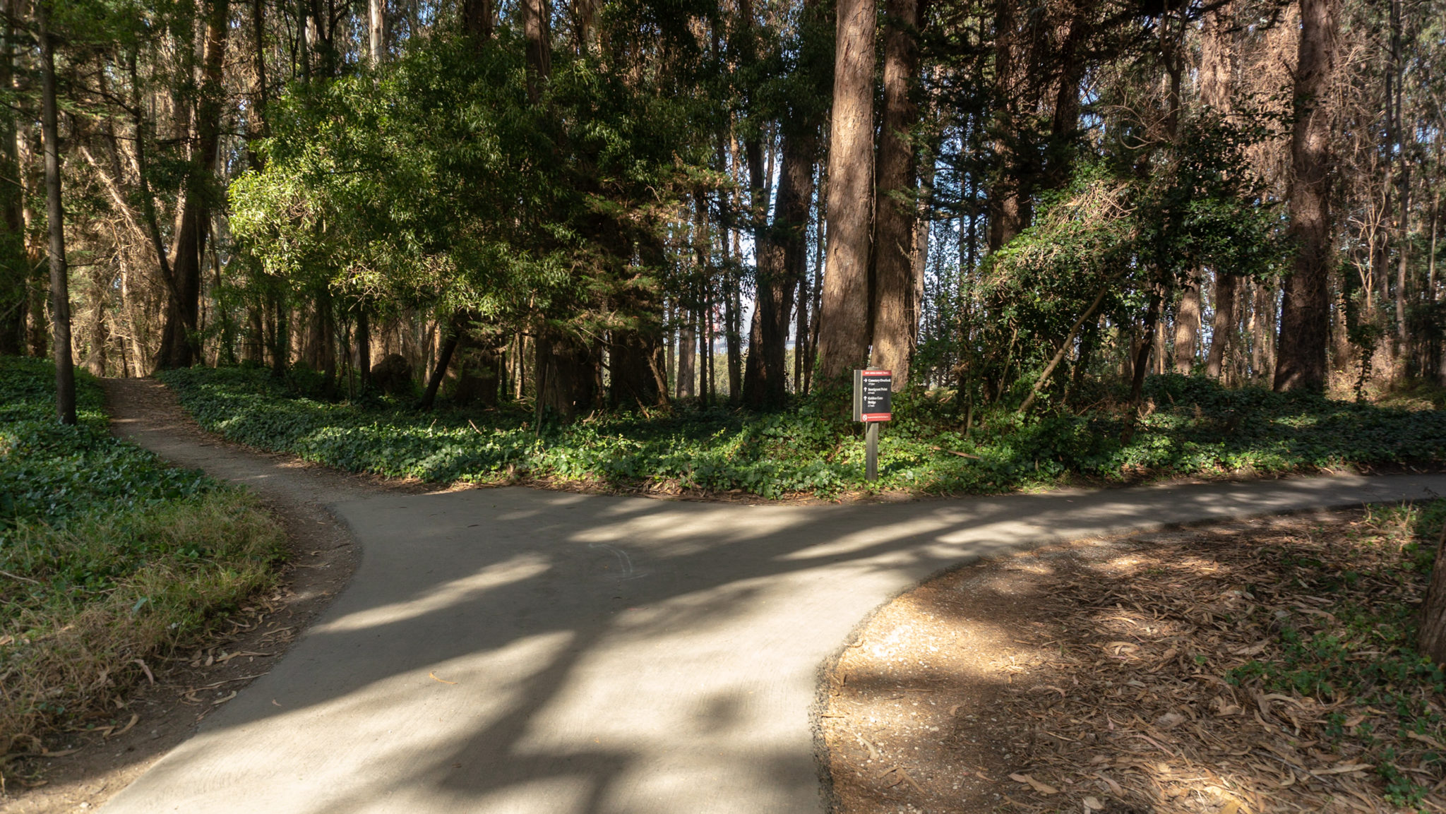
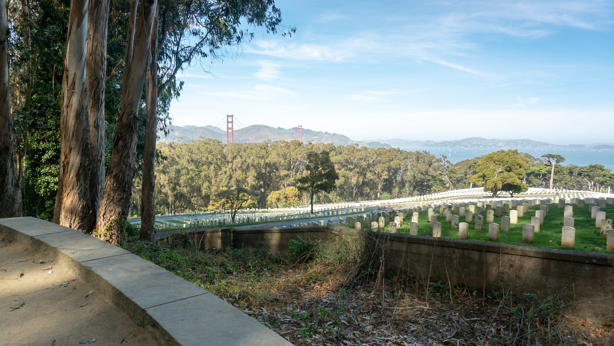
At the 1.9 mile-mark, reach a Y-junction for the Bay Area Ridge Trail and National Cemetery Overlook. You will continue your loop on the narrower dirt path on the left, but for now, turn right to take a short detour to the National Cemetery Overlook, the second scenic overlook along this route.


An interpretive sign explores the history of the cemetery, and features a moving poem called The Young Dead Soldiers by Archibald MacLeish, a World War I veteran, writer, and Librarian of Congress from 1939-1944. The cemetery’s gentle hillside views overlook the Marin Headlands, Mount Tamalpais, and the Golden Gate Bridge. It is a peaceful and solemn place. When ready, return to the junction with the Bay Area Ridge Trail.

Back at the Y-junction, head west on the Bay Area Ridge Trail towards the Golden Gate Bridge.

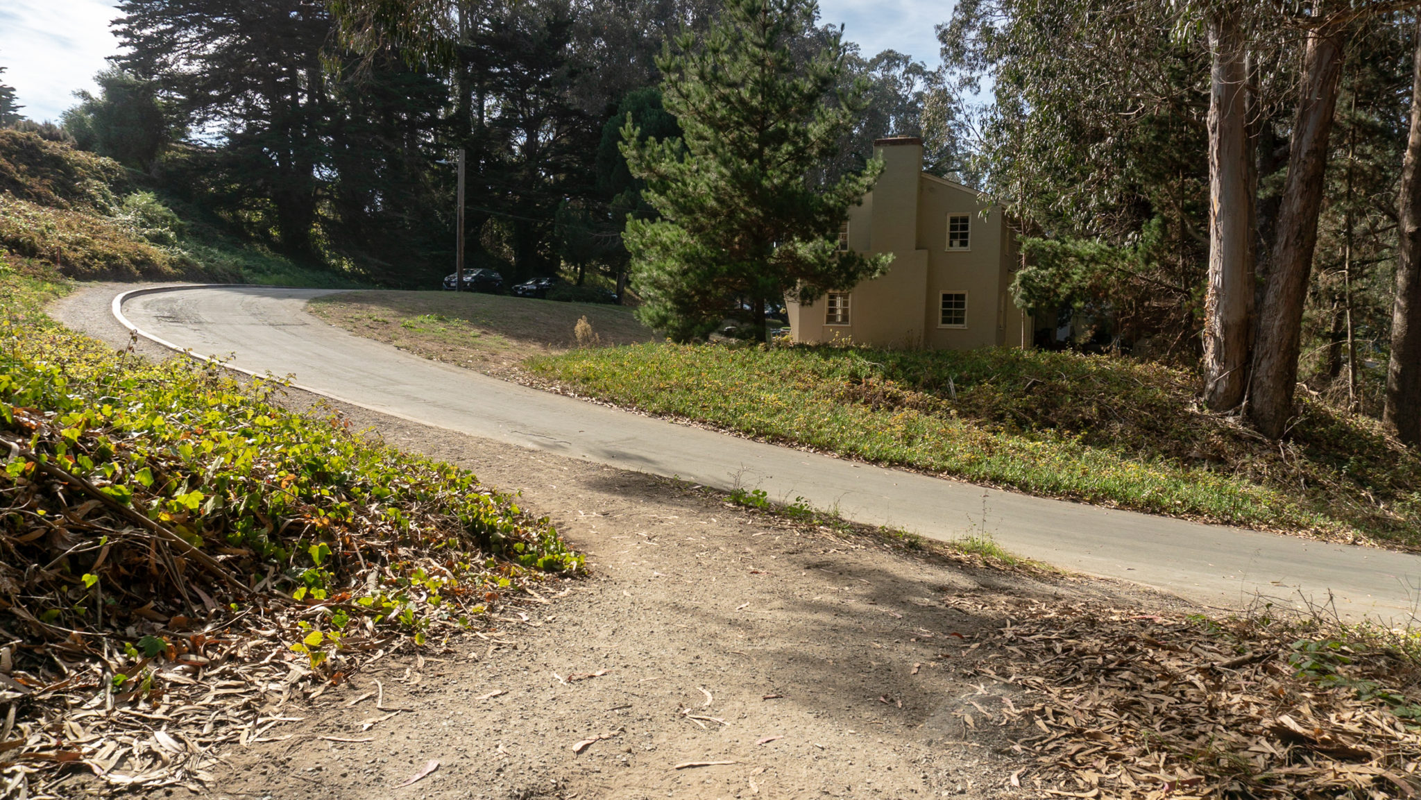
At the 2.1 mile-mark, turn left to follow the curbside trail along Amatury Loop. Stay straight across Park Boulevard and the Park Trail.


In 250 feet, arrive at a split in the trail. Bear right at the “Pedestrian only” sign to stay on the Bay Area Ridge Trail towards the Golden Gate Bridge. The left-hand trail is bike-friendly and meets up with the pedestrian trail in 0.2 miles.

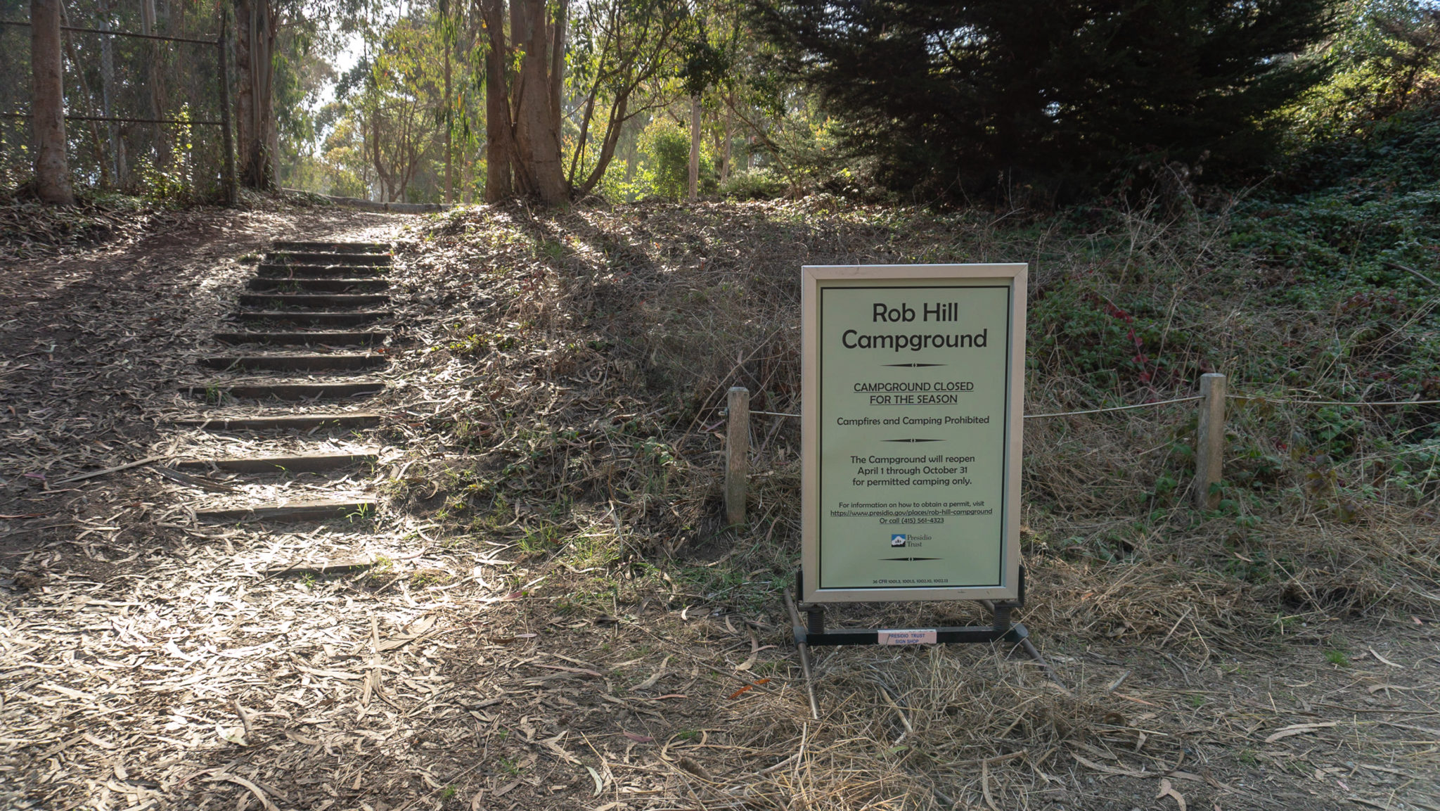
Emerge out of the forest onto a paved road, continuing east on the shoulder towards the Golden Gate Bridge. Pass Rob Hill Campground on your left and then turn left onto Harrison Boulevard. Follow the curbside trail south for 0.1 miles towards Immigrant Point Overlook.


At the 2.9 mile-mark, turn right and cross Harrison Boulevard to Immigrant Point Overlook, the third scenic overlook on this hike. Built in 2005, the overlook features views west to Point Bonita Lighthouse, Battery Crosby down below, and the Marin Headlands. Stone letters carved into the stone wall quote President Woodrow Wilson, “We opened the gates to all the world and said, ‘Let all men who want to be free come to us and they will be welcome.'”


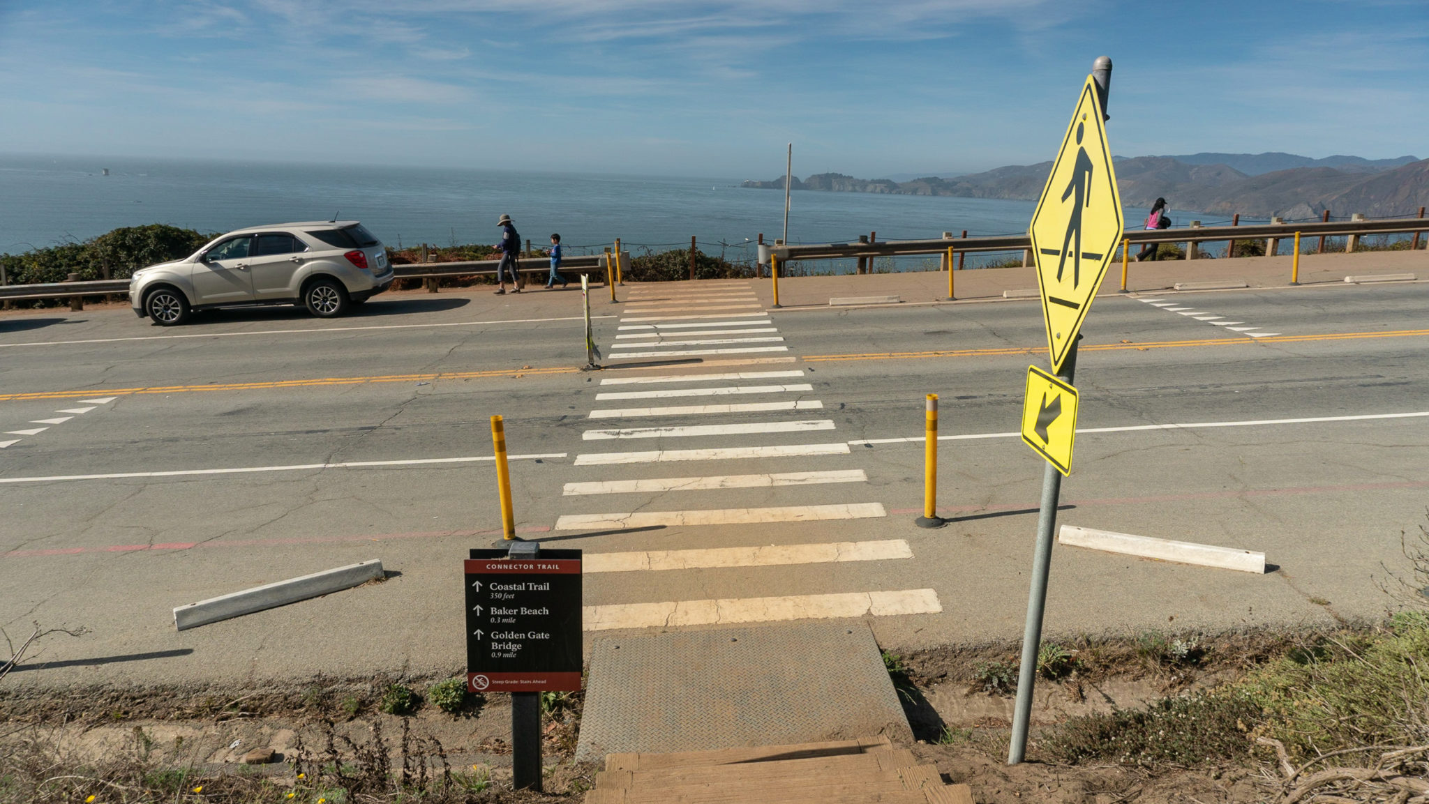
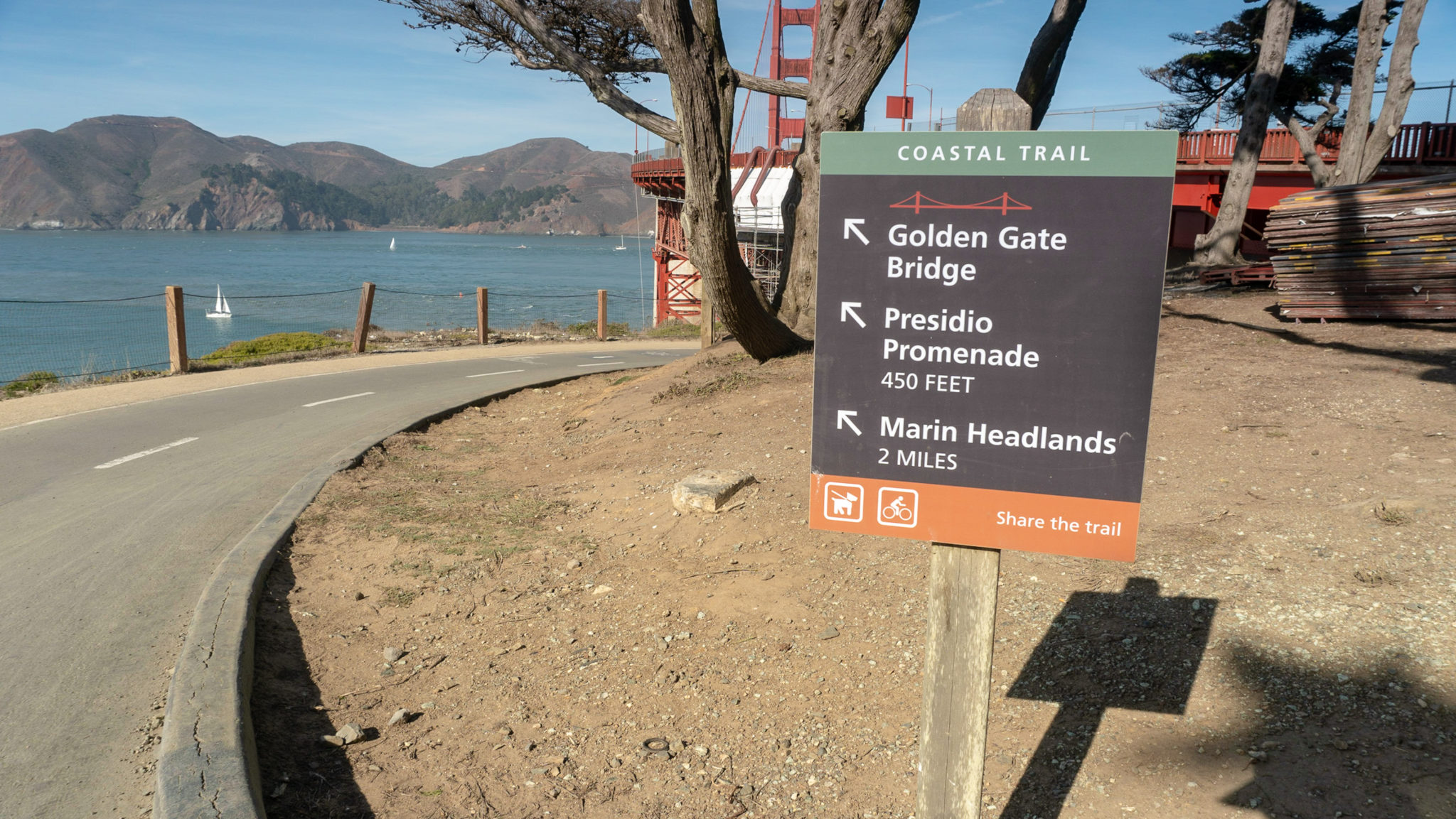
When ready, head to the southern end of the overlook and take the Connector Trail down steep wooden steps towards the Golden Gate Bridge. At the base of the steps, cross Lincoln Boulevard then turn right to head north on the California Coastal Trail.


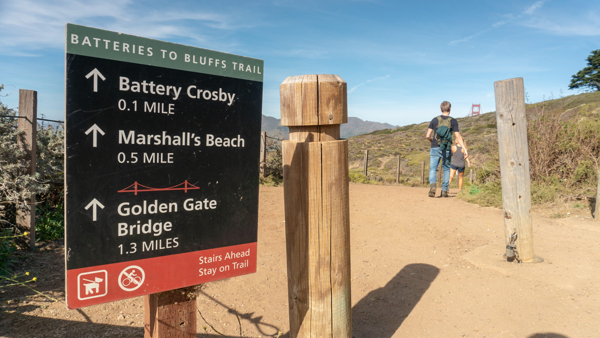
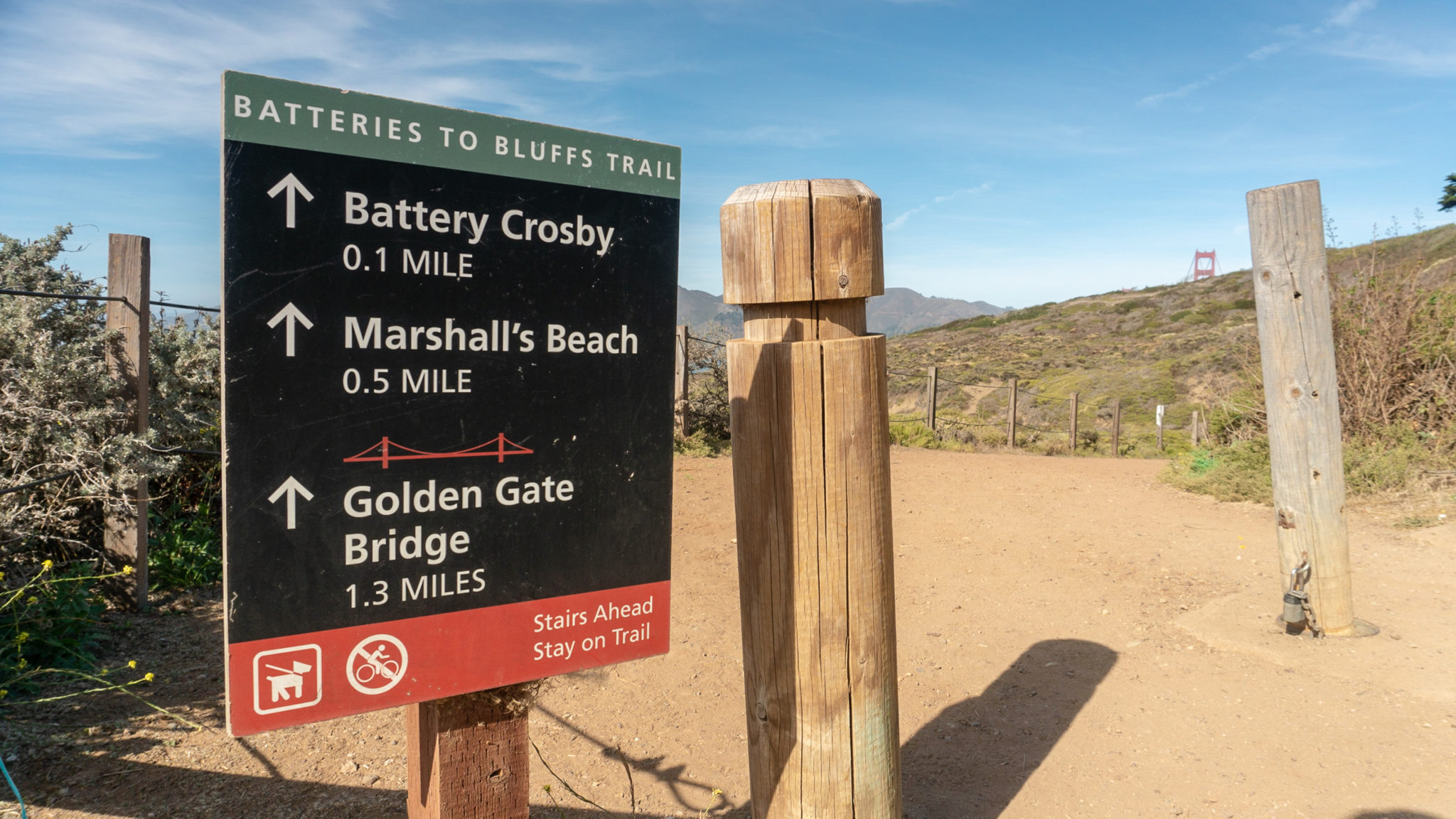
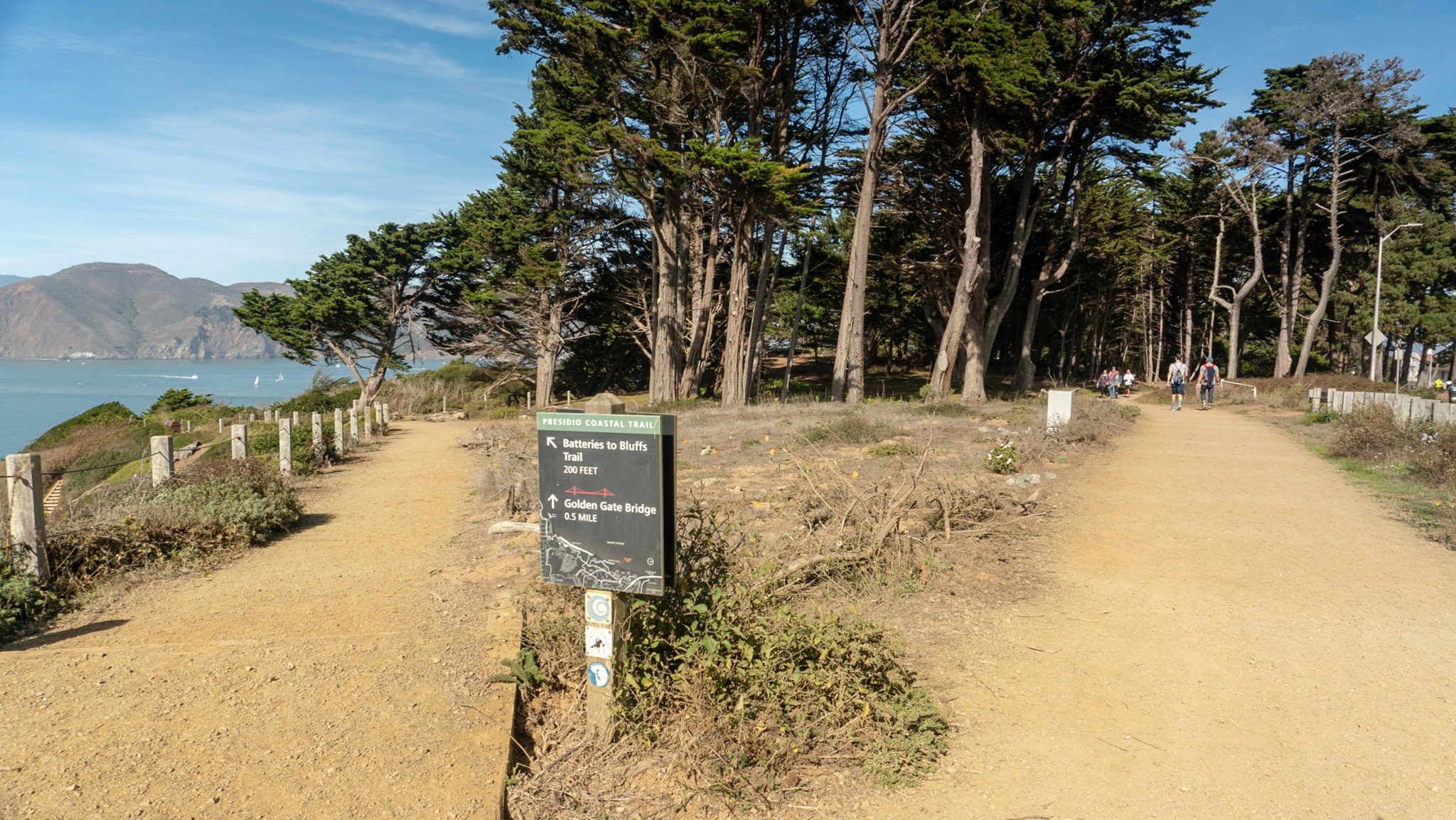
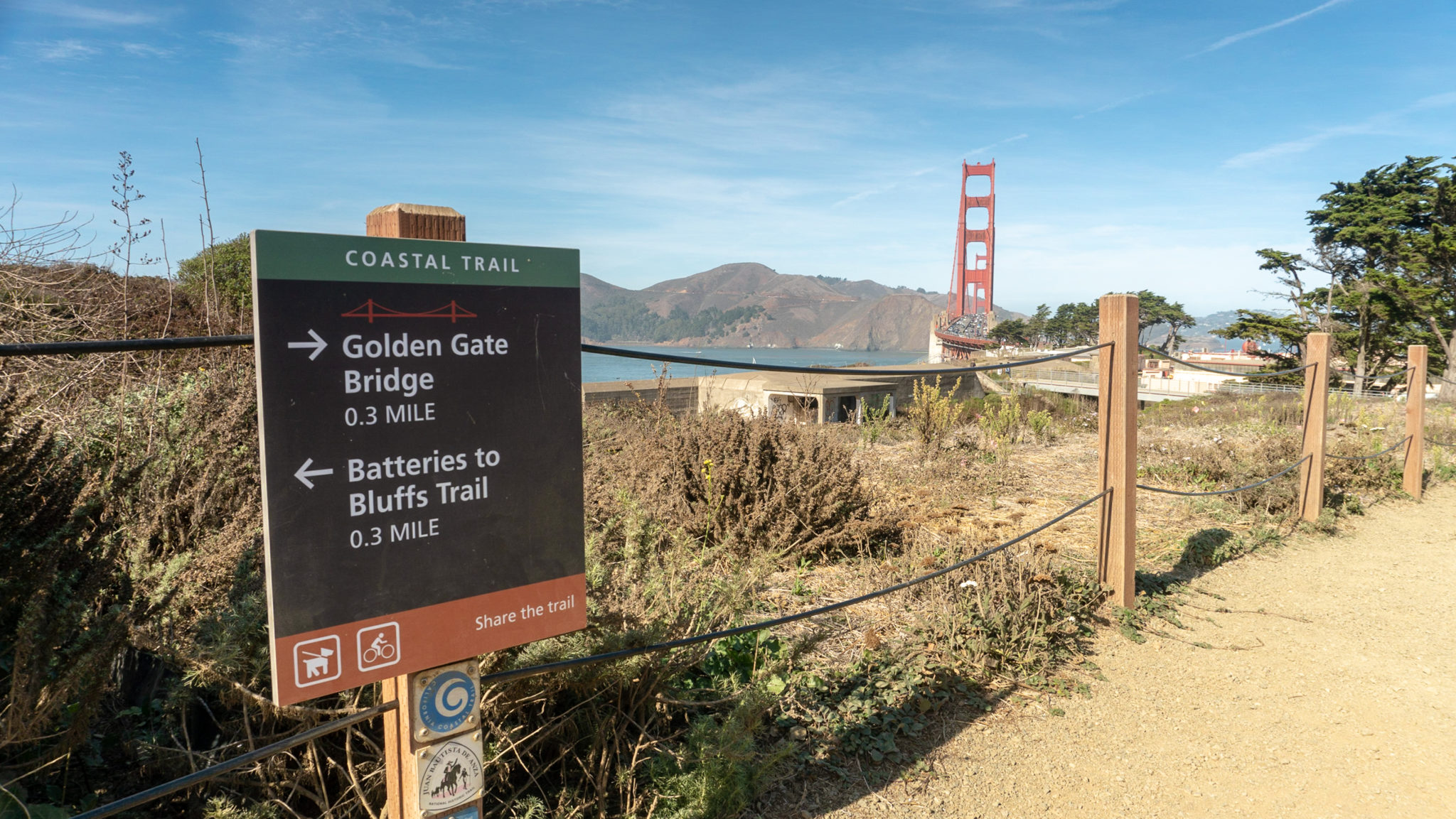
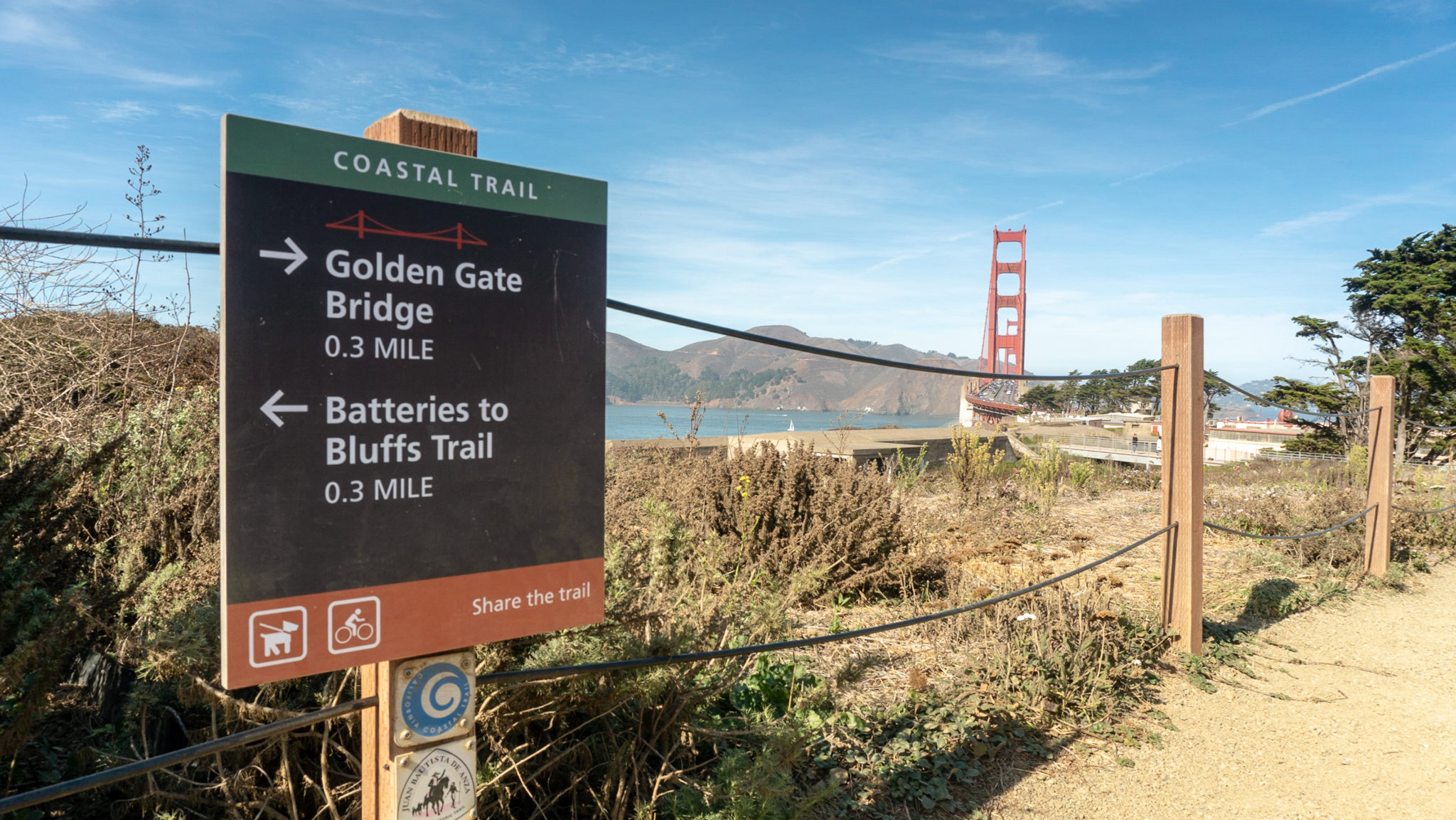
In 150 feet, pass an optional detour on the Batteries to Bluffs Trail, a moderately steep hike with beautiful coastal views. The detour will add an extra 0.3 miles and 250 feet elevation gain as you dip down to Marshall’s Beach then sync back up with the California Coastal Trail.

Continuing north on the California Coastal Trail, take a rest at the 3.5-mile mark at the Pacific Overlook, your fourth scenic overlook on this hike. This overlook was built in 2012 to celebrate the 75th Anniversary of the Golden Gate Bridge, completed in 1937.


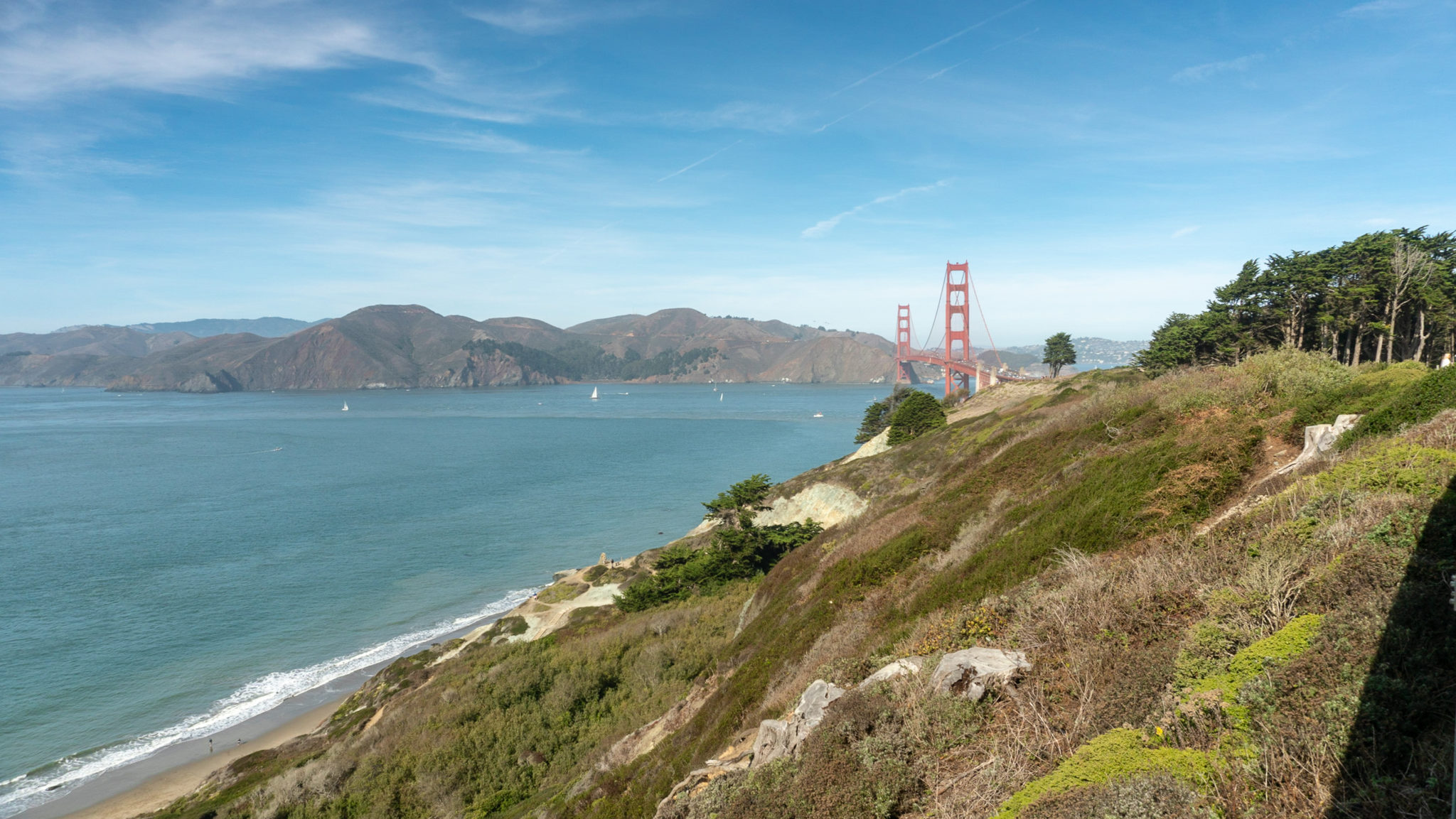
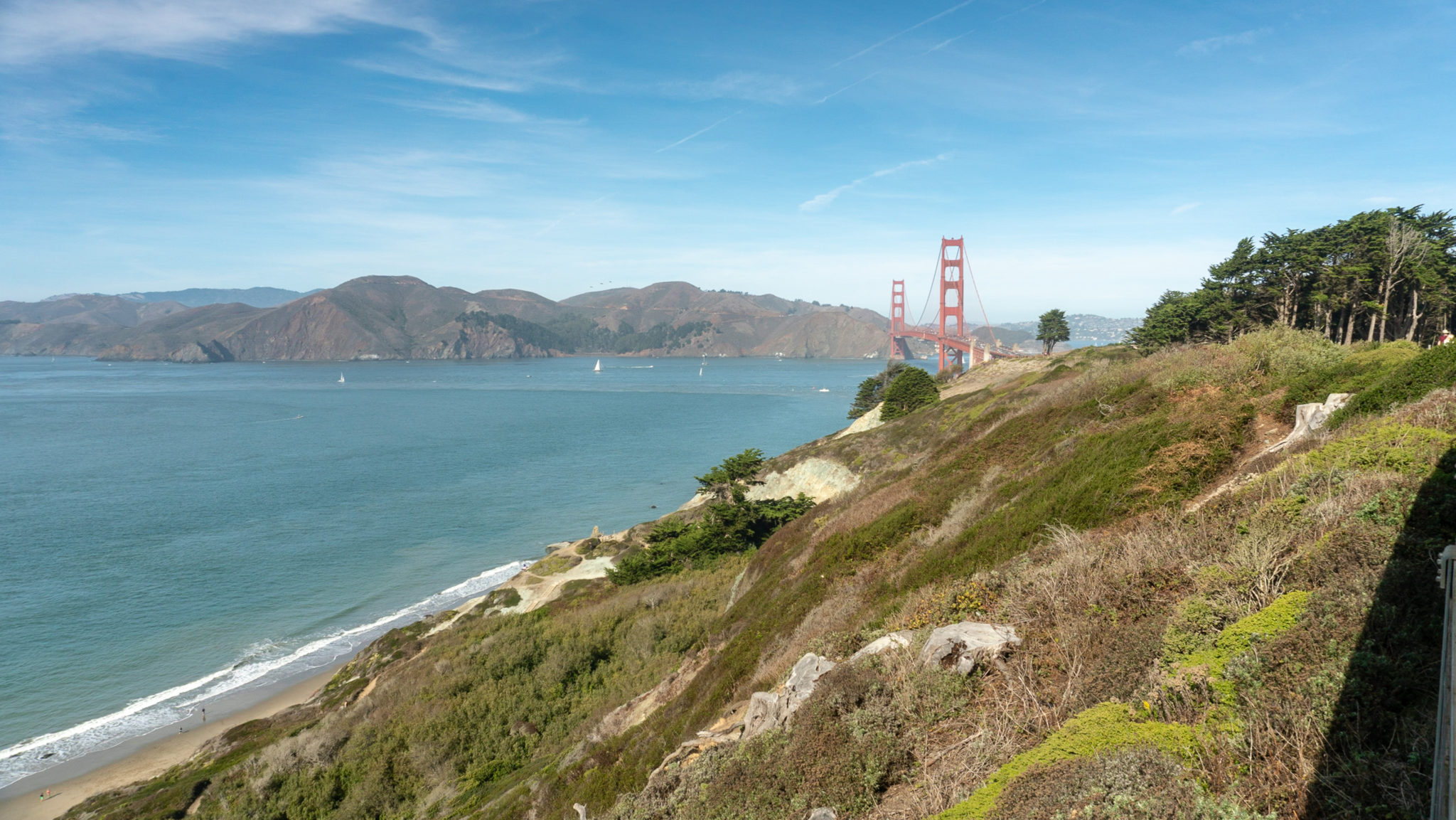
Stay straight on the California Coastal Trail, continuing north towards the Golden Gate Bridge. Pass the Langdon Court parking lot, and if you have time, take a short detour to see the Golden Gate Overlook, an often-photographed overlook of the Golden Gate Bridge between two cypress trees.


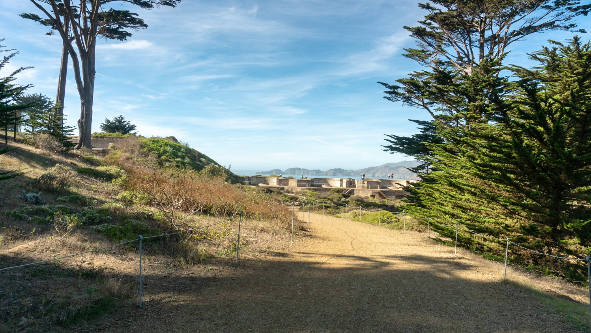
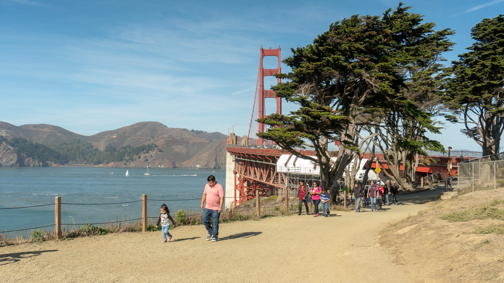
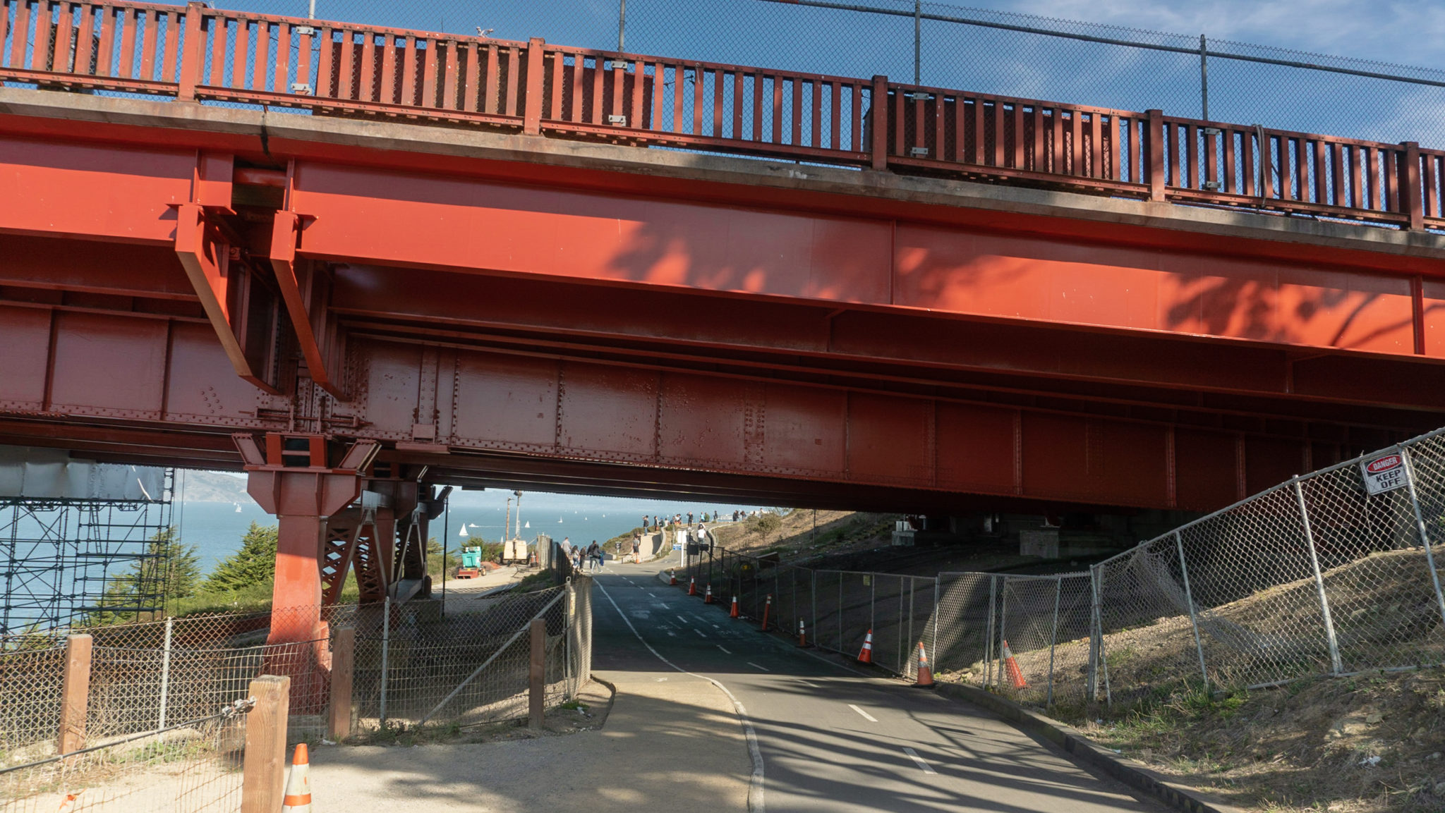
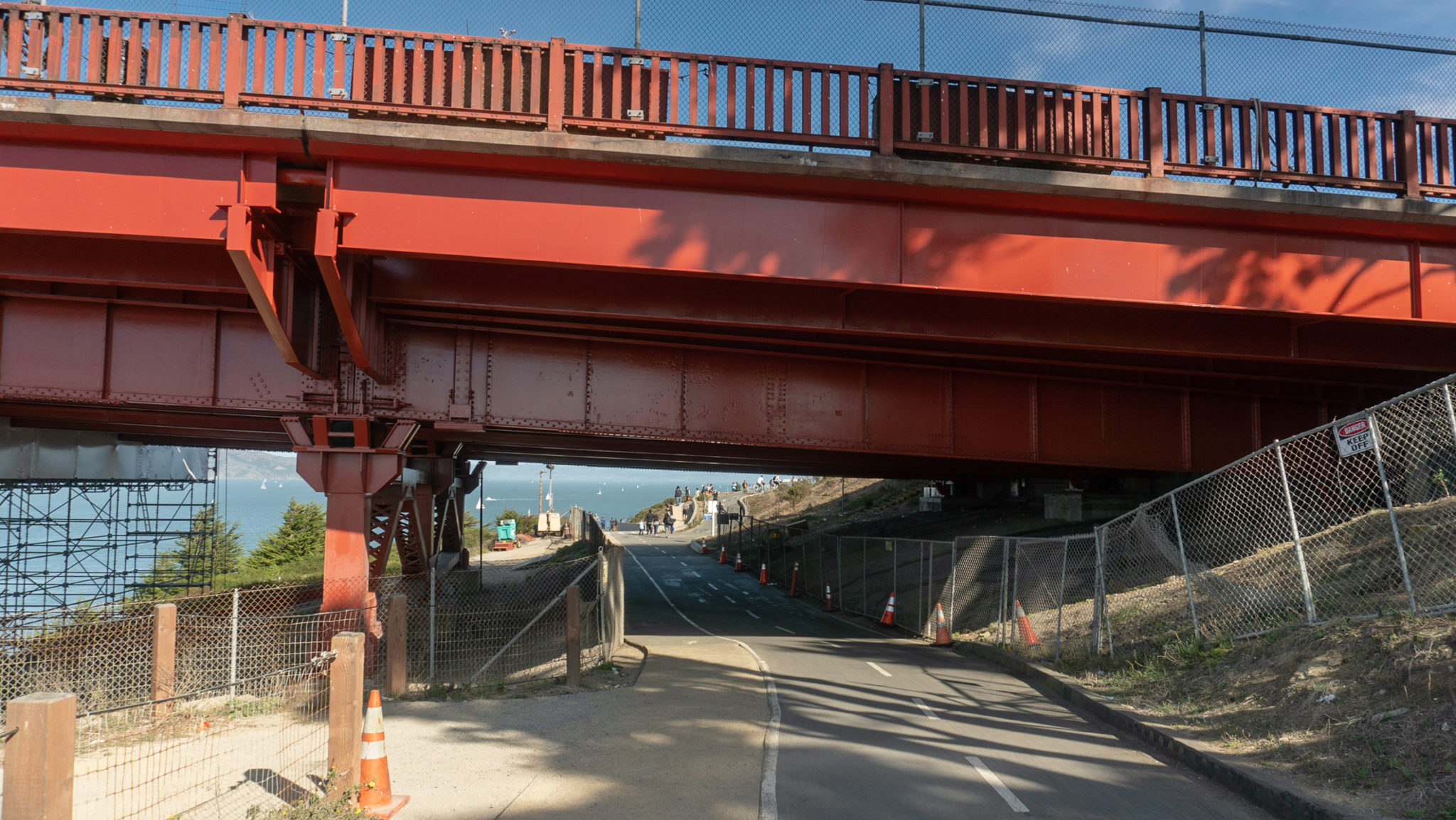
Continue north on the California Coastal Trail towards the Golden Gate Bridge past Battery Marcus Miller and Battery Cranston. Follow the Coastal Trail along the edge of a bike lane underneath the Golden Gate Bridge. Just past the bridge, turn right to cross the bike lane to the Bridge Plaza.


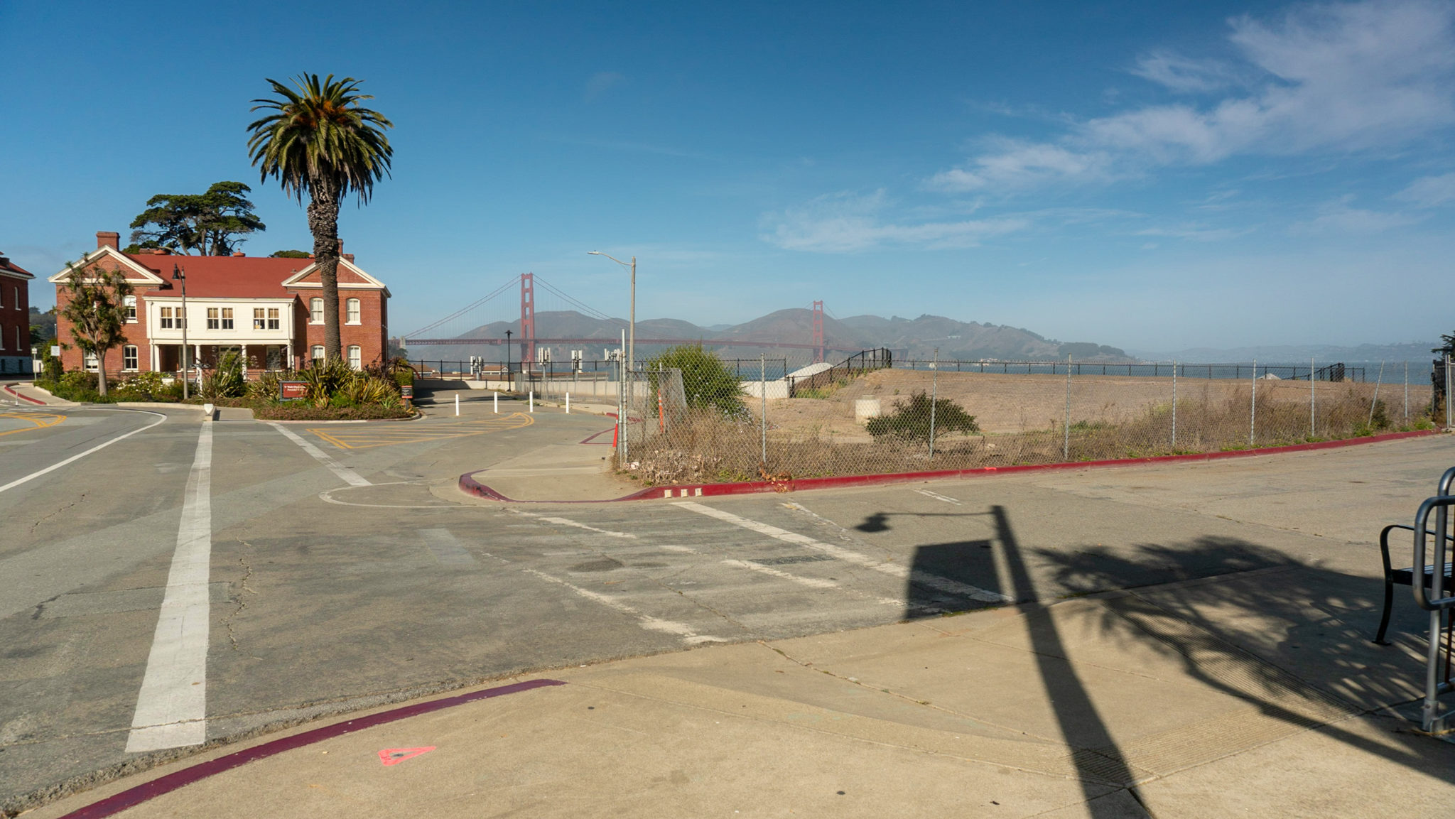
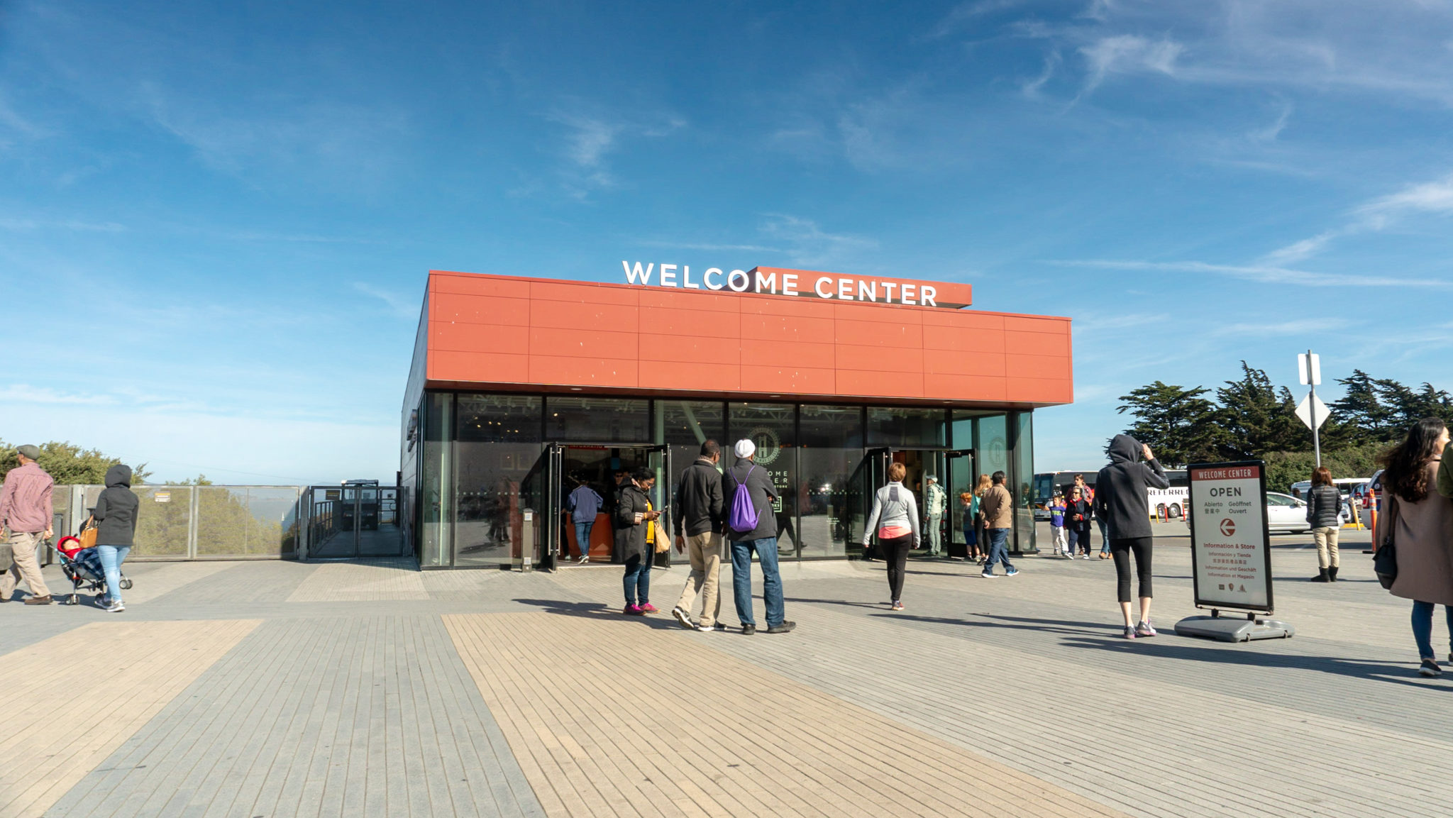
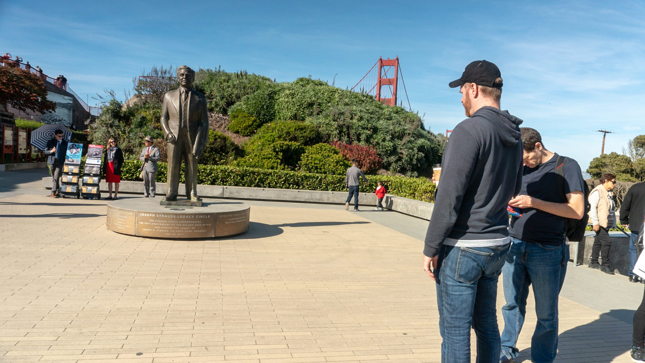
At the 4.2-mile mark, arrive at the Golden Gate Bridge Plaza. This entire plaza was refurbished in 2012 for the bridge’s 75th Anniversary. Historical and structural exhibits show how the Golden Gate Bridge was constructed. I like stopping in the Welcome Center to pick up postcards and souvenirs.

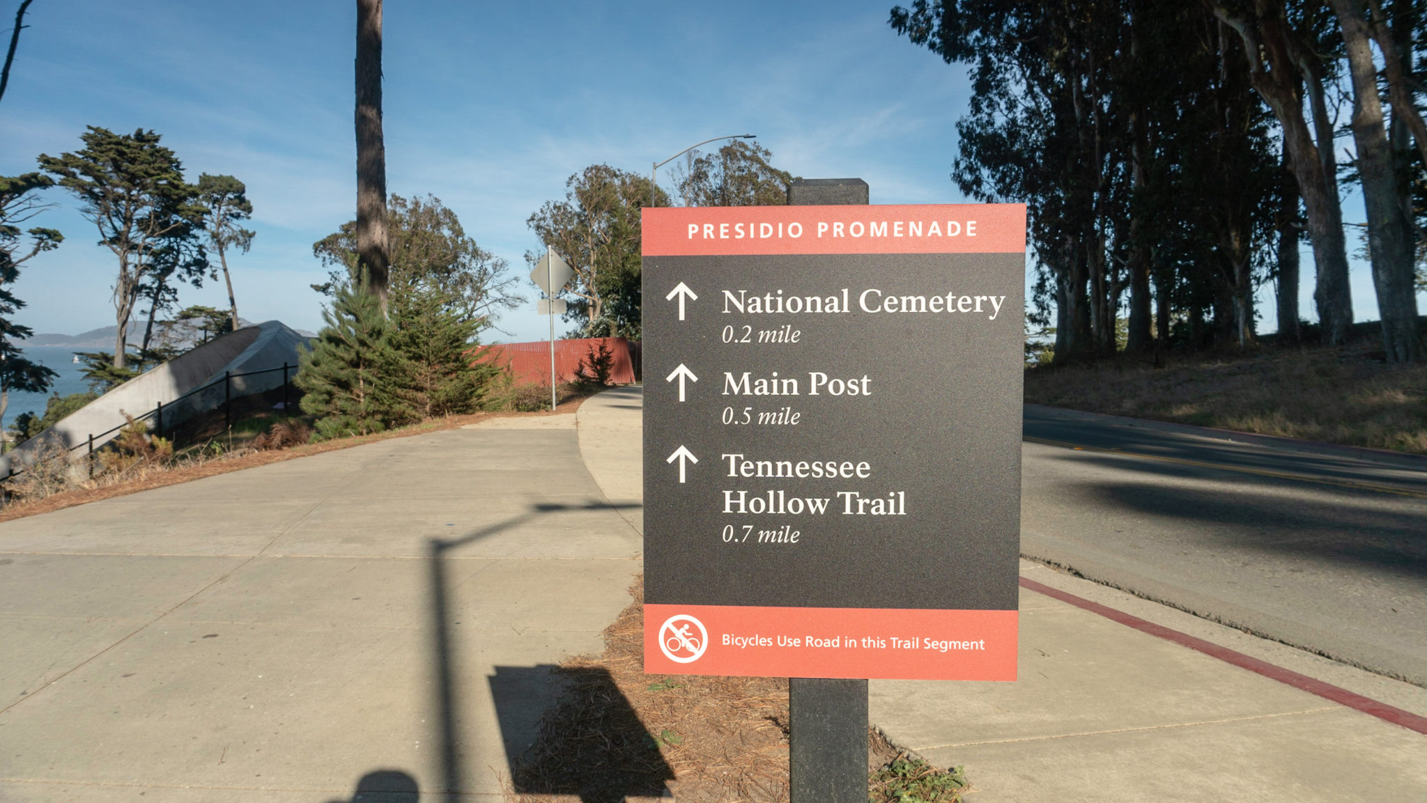
When ready, locate the Strauss Statue, named for the Chief Engineer of the Golden Gate Bridge, Joseph Strauss, and head down the steps next to it. Turn right to hike southeast on the Presidio Promenade towards Crissy Field Overlook. Views to the north include Angel Island, Alcatraz, and the Golden Gate Bridge.


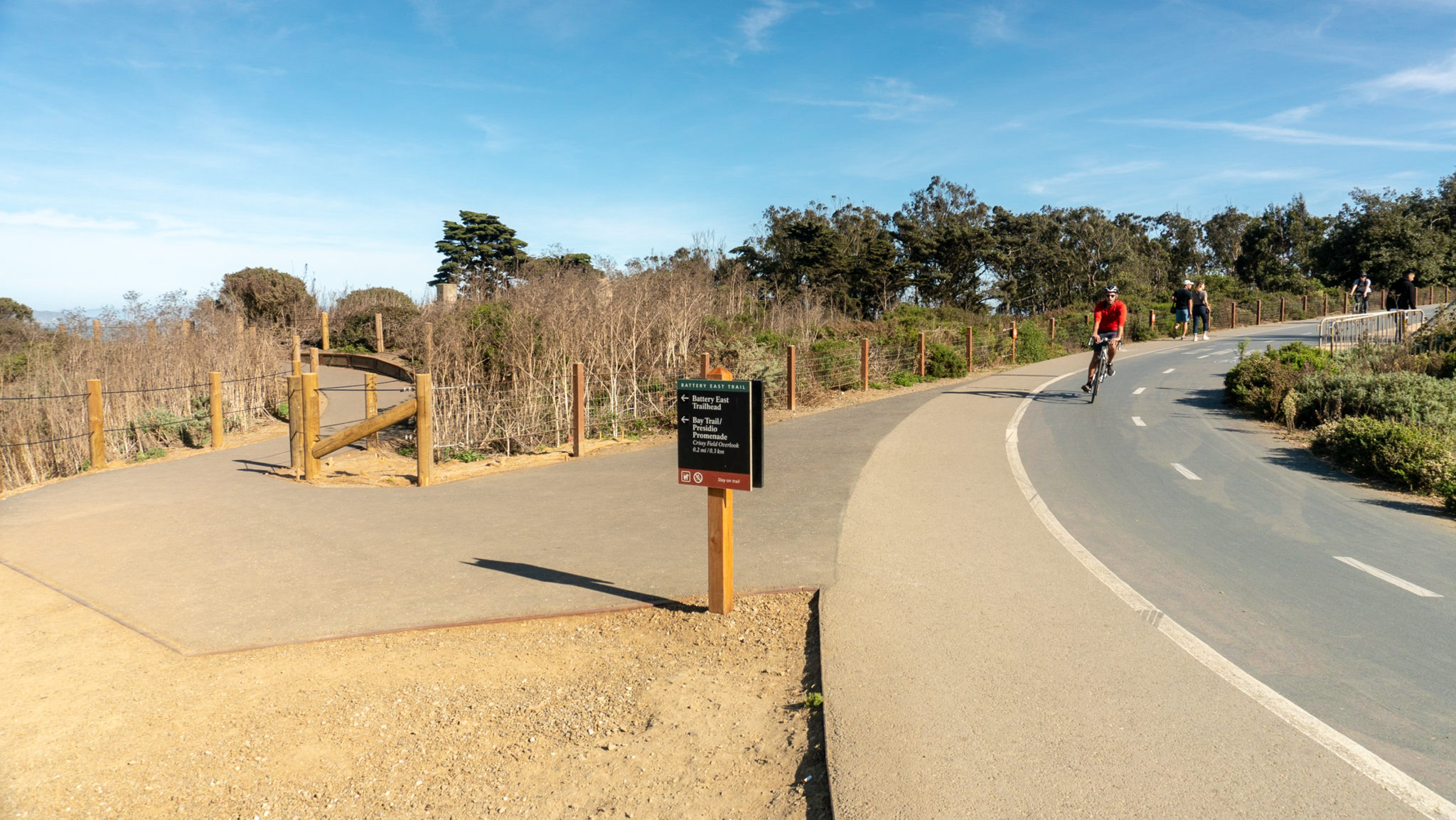
Hike southeast for the next 1.2 miles on the Presidio Promenade. At a junction with the Battery East Trail, you have the option to bear left onto a pedestrian-only path that syncs up with the Presidio Promenade at Long Avenue. The Battery East Trail also leads down to the waterfront, Torpedo Wharf, and the Warming Hut.

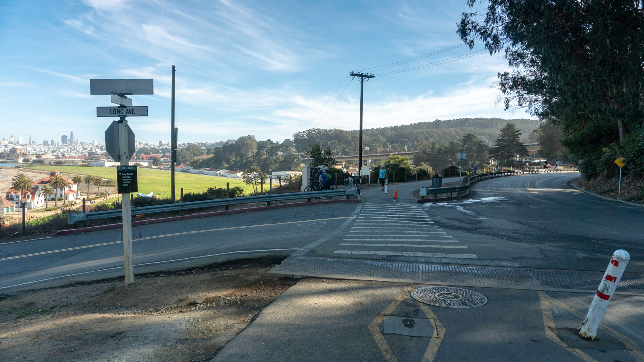
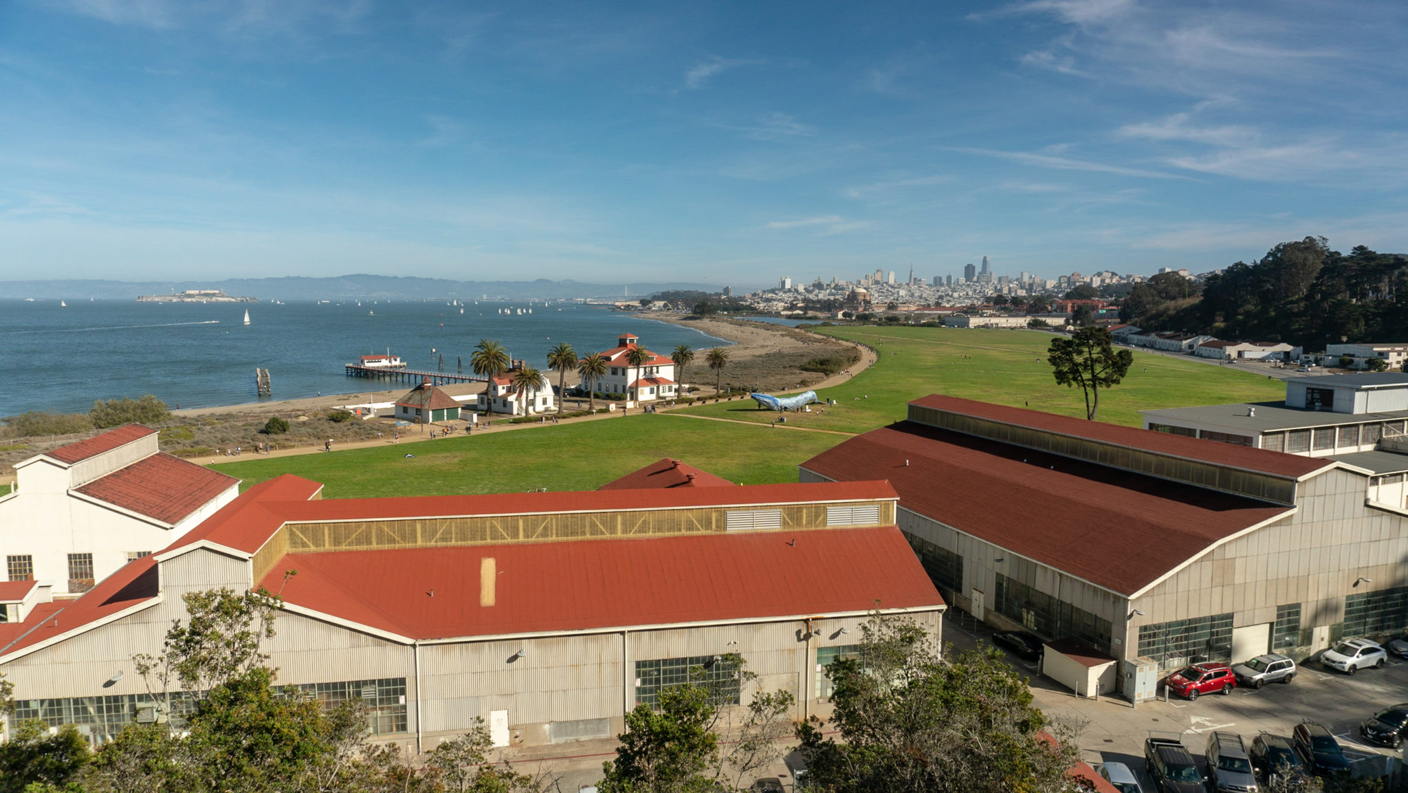
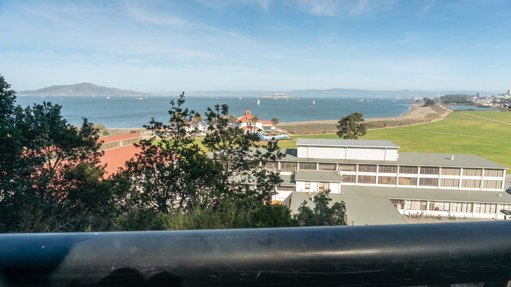
Staying straight, continue southeast on the Presidio Promenade. Cross Long Avenue to fantastic views of Crissy Field below. The buildings immediately in front of you are old airplane hangers and beyond them are Alcatraz, the Bay Bridge, Treasure Island, Palace of Fine Arts, and San Francisco’s Financial District.


At the 4.7-mile mark, pause at the Crissy Field Overlook to read more about the history of this former airfield, now a big lawn and beach playground for the public. It also part of the Golden Gate National Recreation Area.

Continue hiking east on the Presidio Promenade. As you pass under 101, you can see the Presidio Pet Cemetery down below that was a burial ground for military families’ pets dating back to the 1950s. To see it, turn left at the upcoming McDowell Avenue intersection and walk 0.1 mile north.

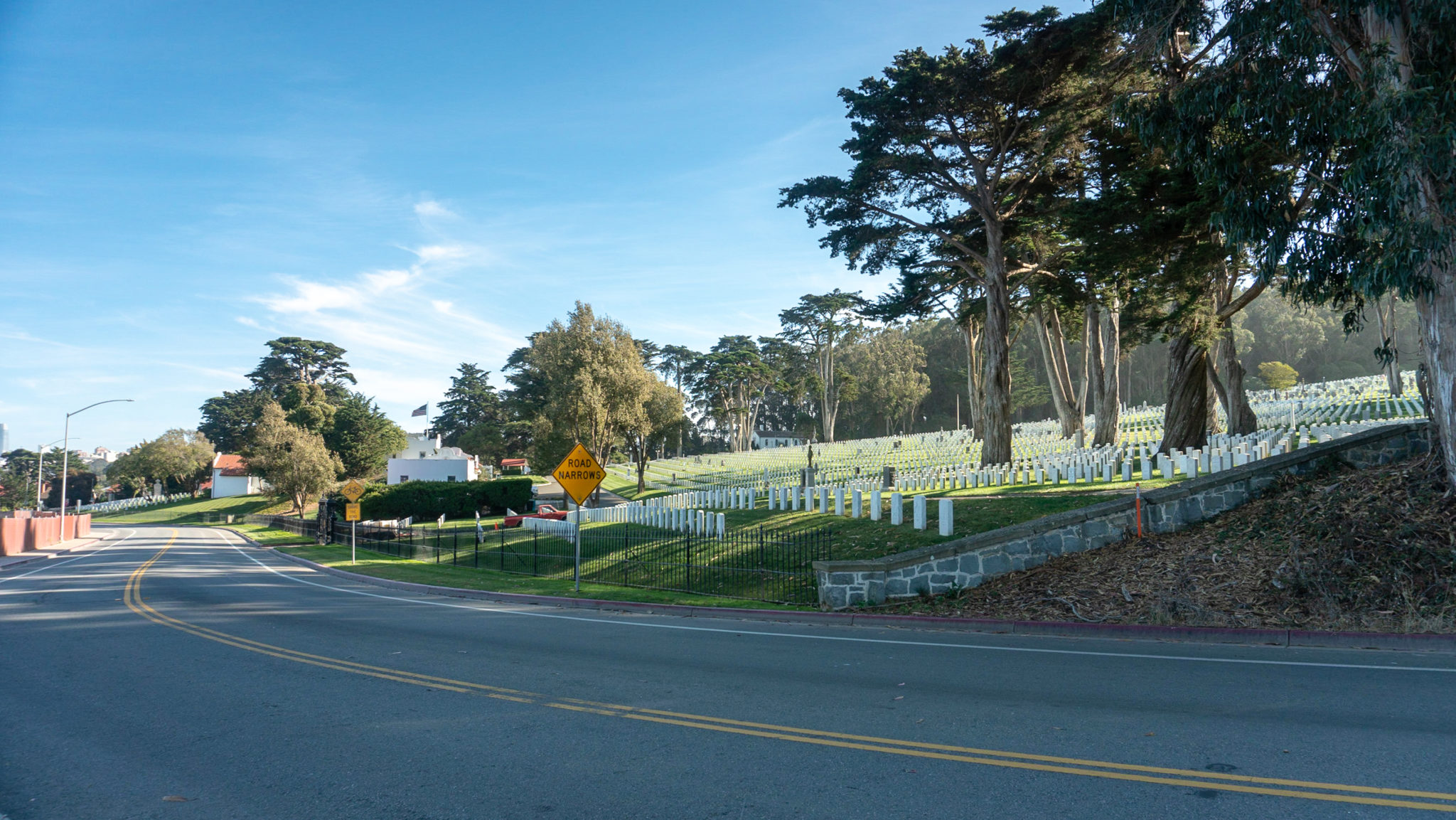
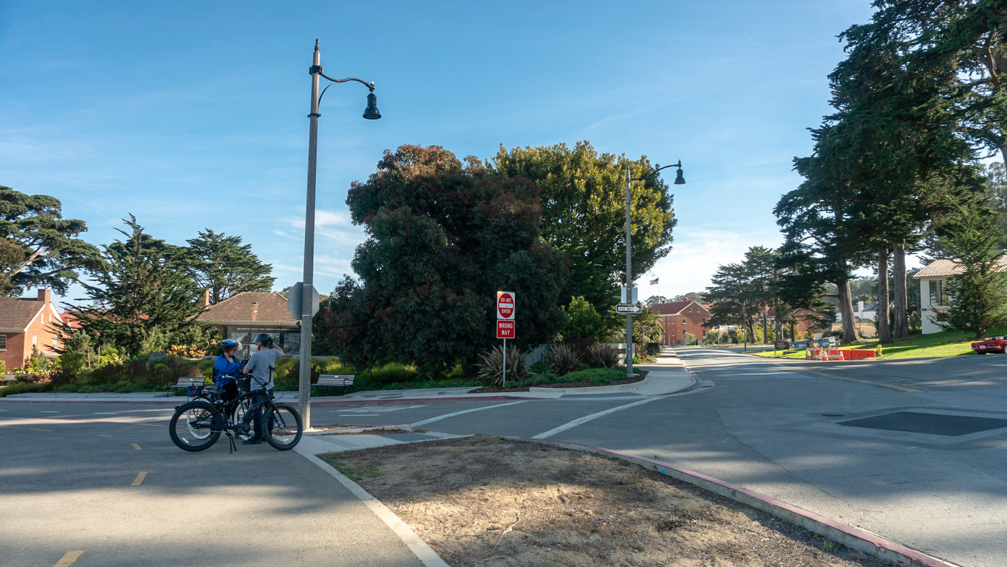
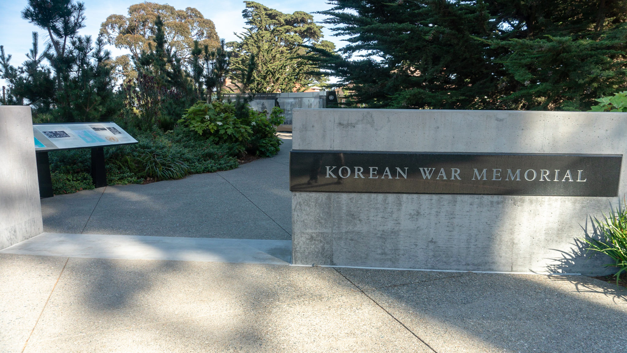
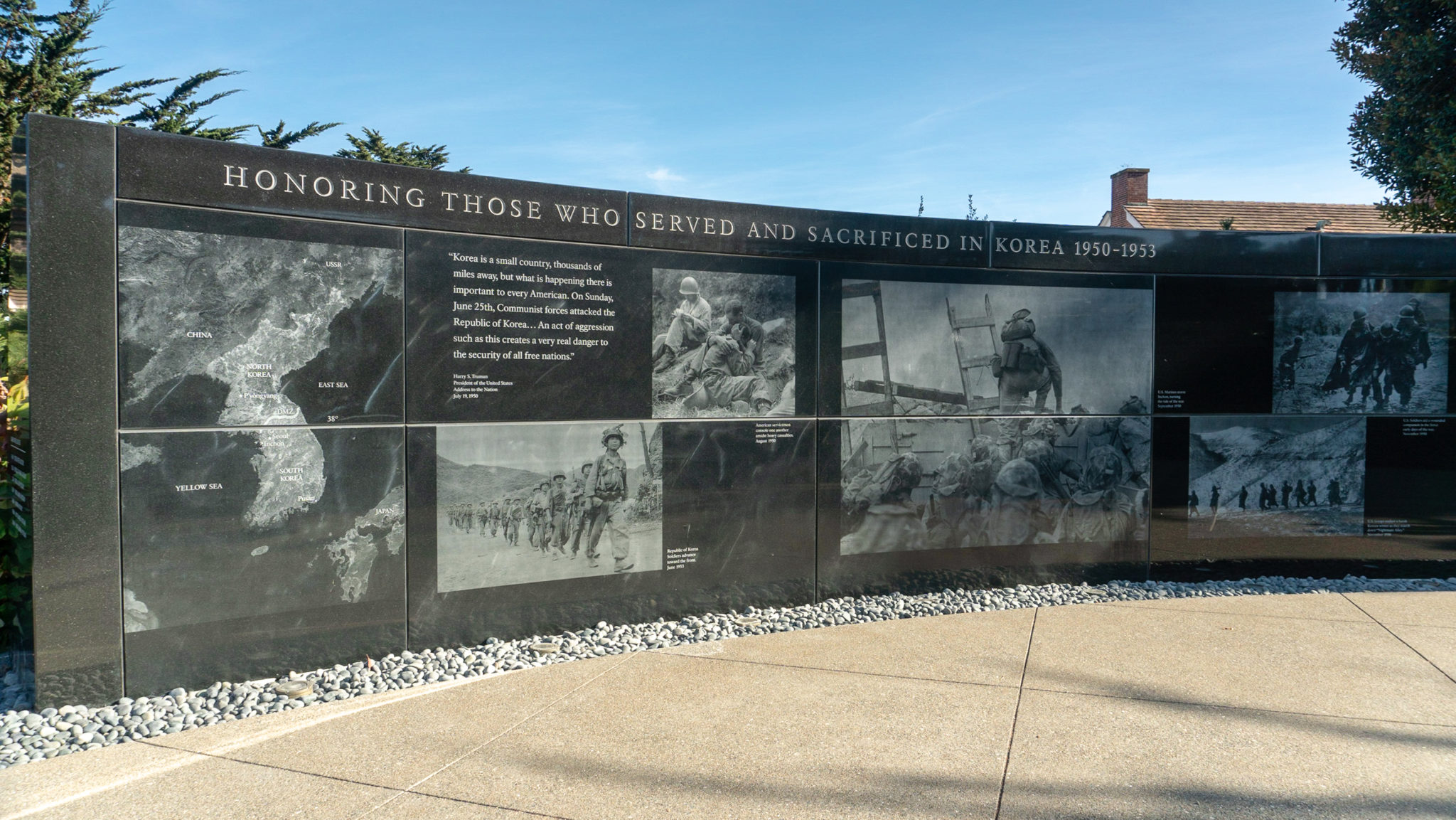
At the 5.4-mile mark, reach a stop sign at Patten Road, across the street from the National Cemetery. Turn right to cross Patten Road to Sheridan Avenue. Visit the Korean War Memorial on your left, passing a bottlebrush tree buzzing with hummingbirds.


When ready, continue southeast for 0.1 miles on Sheridan Avenue, then turn left onto Montgomery Street. The buildings here were former infantry barracks, and now house the Society of California Pioneers, Presidio Trust, Walt Disney Family Museum, and Lodge at the Presidio.

Head northeast down the sidewalk on Montgomery Street and explore at your leisure. I personally enjoy geeking out at the Walt Disney Family Museum. The lobby beyond the welcome desk is free and features Disney’s Oscars and commendations. There is also sweet gift shop with Disney postcards, gifts, and souvenirs. True to its nature, the staff is “Disney cheerful” and friendly.

Continue northeast on Montgomery Street, then turn right onto Lincoln Boulevard. Finish your loop at 5.8 miles back at the Presidio Visitor Center. Take a break one of the red share chairs to enjoy the Presidio’s bay views one more time before you go.
Notes:
- Here is a Presidio Trail Map. You can also pick one up for free at the Presidio Visitor Center.
- Restrooms are available at the Transit Center, Presidio Officer’s Club, Presidio Golf Club, and Golden Gate Bridge Welcome Center.
- Leashed dogs are allowed on Presidio trails.
- Free PresidiGo shuttle service runs throughout the park and from downtown San Francisco.
- There is no admission fee for the Presidio. Most parking lots in developed areas charge a fee, but here are a few options for free parking along the route: Langdon Court, Merchant Parking Lot (4 hour limit), and Lincoln Boulevard.
Tags: art, Coastal Hikes, forest, Golden Gate Bridge, military, museum, presidio, san francisco


