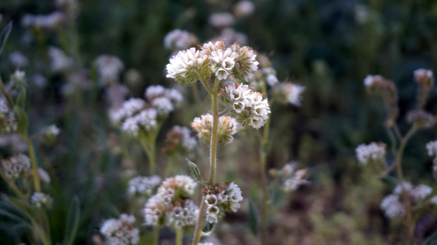
Long before Bridalveil Creek spills 620 feet over the lip of Yosemite Valley, it flows through a vast upper montane forest rich with flowers, wildlife, and hiking opportunities. Glacier Point Road provides summer and fall-season access to these opportunities, one of which is this excursion to the headwaters of Bridalveil Creek at Ostrander Lake. Hikers on the Ostrander Lake Trail can expect to find lush meadows, wildflowers, fine views across Illilouette Gorge and the Clark Range, and the sparkling waters of the lake itself, by which sits the Sierra Club’s Ostrander Ski Hut. Day-hikers can finish the hike in a full day, and many enjoy the route as an overnight camping trip.
Ostrander Lake
Red Tape for Ostrander Lake
For dayhikers, the only red tape on this route is the park entrance fee ($35 at the time of writing) required to access Yosemite National Park.
All hikers should note that Glacier Point Road is typically closed to automobile traffic. There is a winter route to Ostrander Lake originating from Badger Pass Ski Area, but I don’t cover that in this write-up.
If you’re backpacking, you will need to obtain a permit in advance. To do so, first check availability to “Ostrander Lake/Lost Bear Meadow) on the Full Trailhead Report to find out what days have permit availability. As most trailhead quotas in Yosemite often fill up in advance, it will behoove you to check the Wilderness Permits Reservation Window website to determine when you will be able to select your permit; early birds get the worm. After that, go to the Yosemite Conservancy website to request your permit. If your permit request is rewarded, the Conservancy will send an email allowing you to confirm your permit. After confirming your permit request, the last step is to pick up your actual paper permit from Yosemite Rangers at the nearest ranger station, which in this case is either the Valley Wilderness Center or the Wawona Ranger Station.

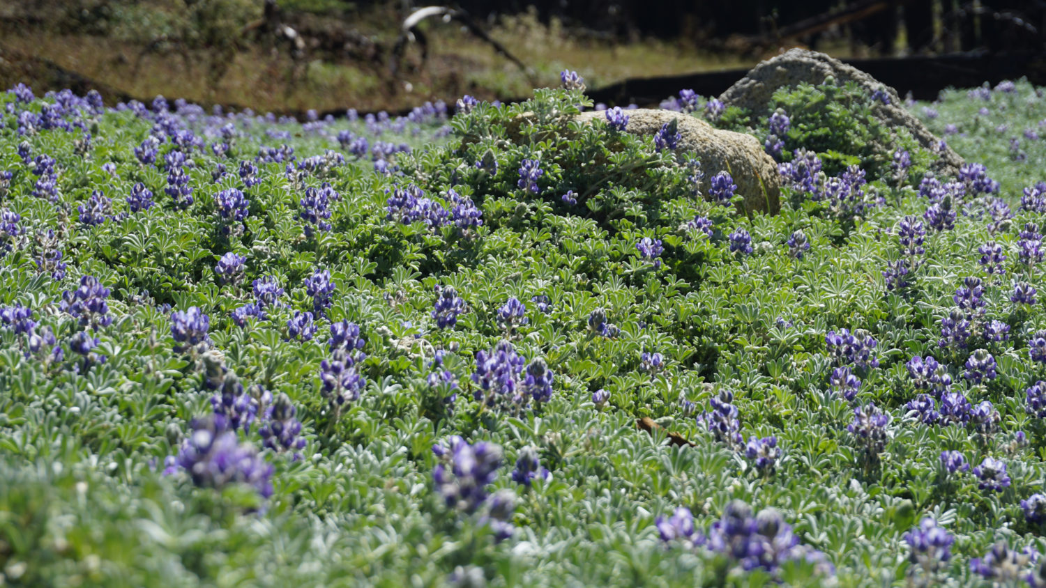
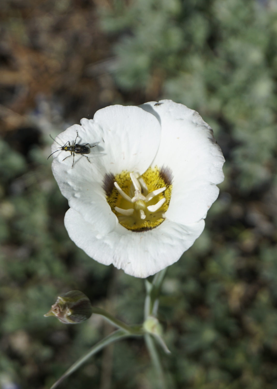
Miniature Lupine
Safety
Like all hikes in the Sierra, the common dangers on this route are altitude sickness issues, bears, and water safety.
The altitude at the trailhead (7000 feet) is not terribly high by Sierra standards, and the trail reaches elevations over 7500 feet. Some people may therefore have issues with altitude sickness. For sensitive individuals, it may help to spend a night or two at a nearby campground to get used to the elevation before starting the hike.
Bears are present and active in this area. There are storage lockers at the McGurk Meadow Trailhead. If you’re backpacking, be sure to carry an approved cannister to store your food when you’re camped. If bears get your food, they may become aggressive, which may lead the park to have to euthanize the bear.
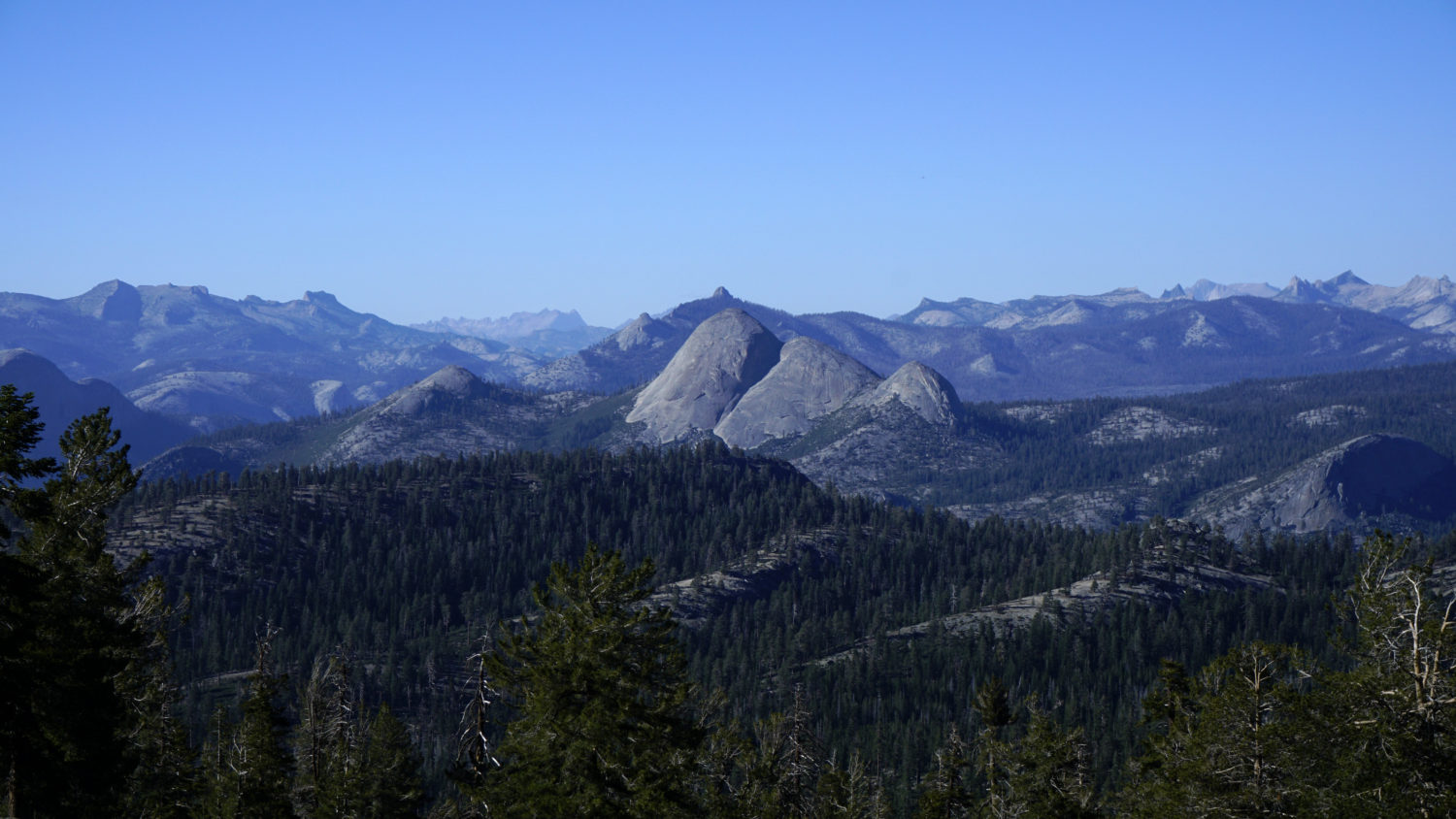
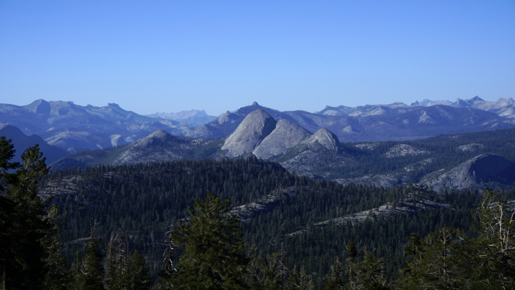
The Clark Range
The Hike to Ostrander Lake
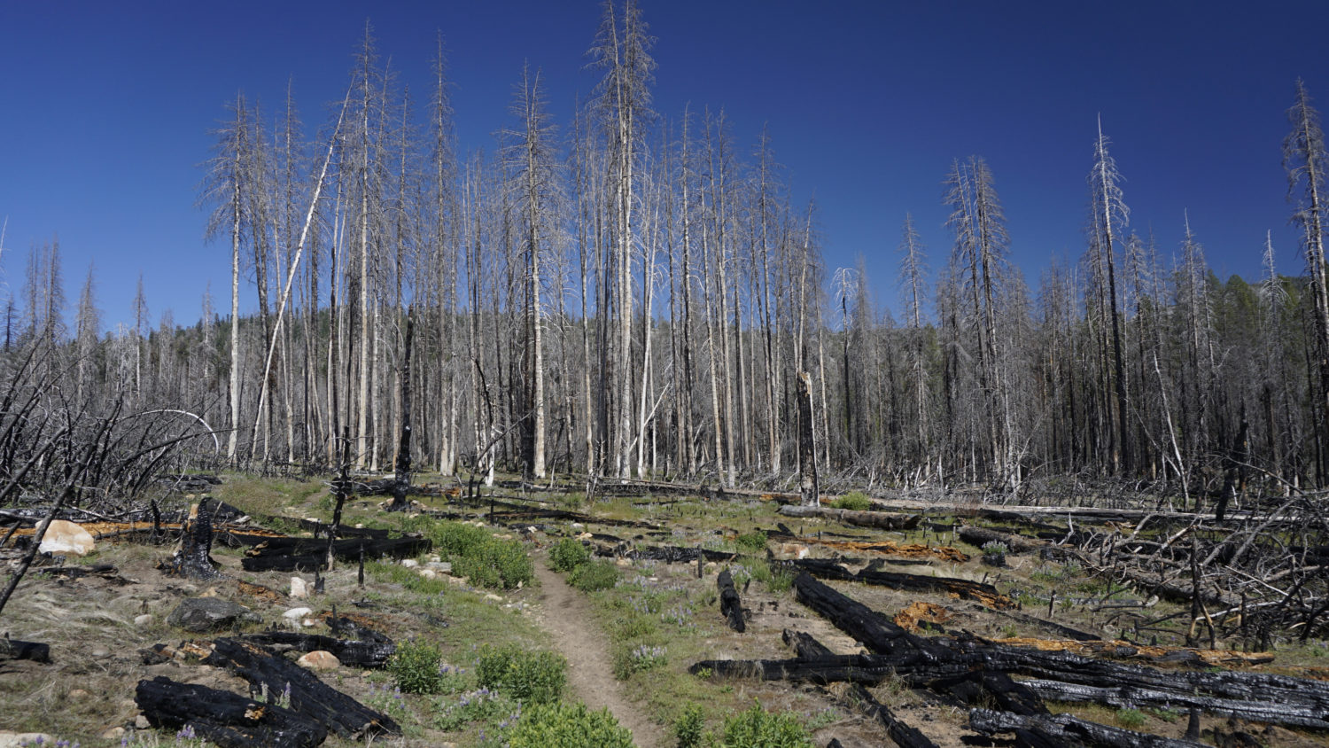
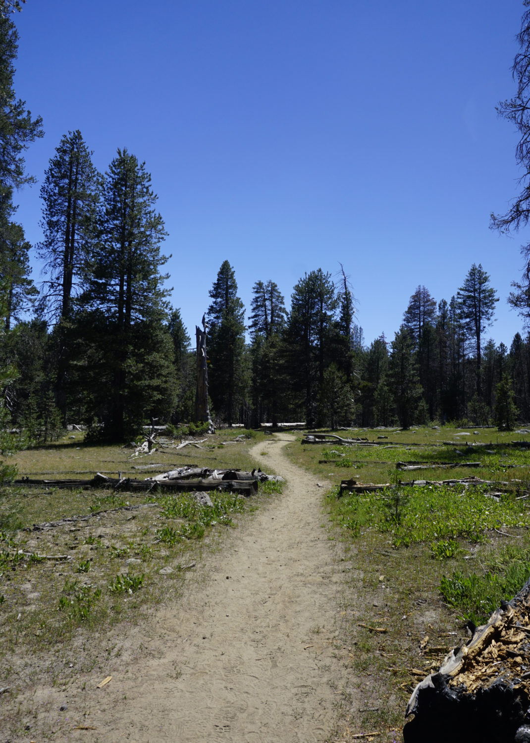
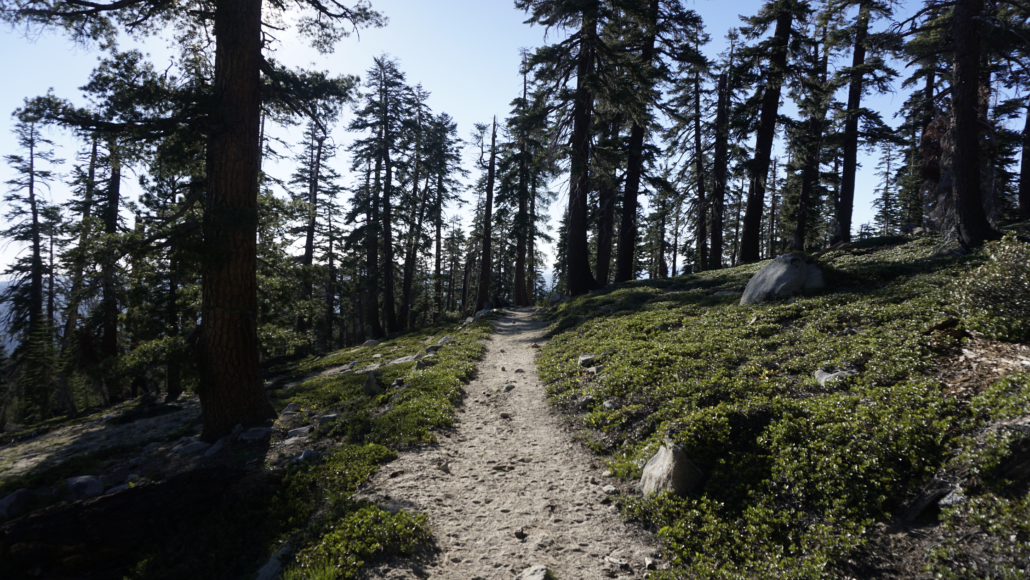
The opening stretch of the Ostrander Lake Trail features a quality rarely found on most High Sierra hiking routes: flat terrain. Follow the wide, well-defined trail through a forest of lodgepole pines on an even grade, passing the occasional meadow rich with wildlowers. Much of the habitat over the next 4.5 miles burned during the 2017 Empire Fire, and quite a bit of the forest was destroyed. This adds a stark air to the habitat, but the fire recovery will also produce a high volume of wildflowers over the next few years – especially following heavy snow seasons.

Ostrander Lake Trail
At 0.3 mile, the trail crosses a wooden footbridge over a sluggish Bridalveil Creek tributary. Mosquitoes may be active around here, as may black bears. After the bridge, the trail heads due south on mostly even terrain to a junction at 1.4 miles. Keep left at this junction, as the right turn will take you west to Bridalveil Creek Campground. The trail now turns to the southeast, paralleling Bridalveil Creek and passing through badly burned forest to the north of the trail.

Damage from the 2017 Empire Fire
The first inklings of an incline appear shortly before the next junction at 2.6 miles. A handful of decent campsites in a clearing can be found near this second junction. To find the campsites, turn right on the overgrown trail leading west toward Deer Camp. After about 20 yards, walk northwest to find an open, flat space with numerous camping areas. This camping area won’t be optimal for those seeking to spend a lot of time at the lake, but you’re almost certain to have the area to yourself. If you don’t wish to camp here, keep left at the junction.

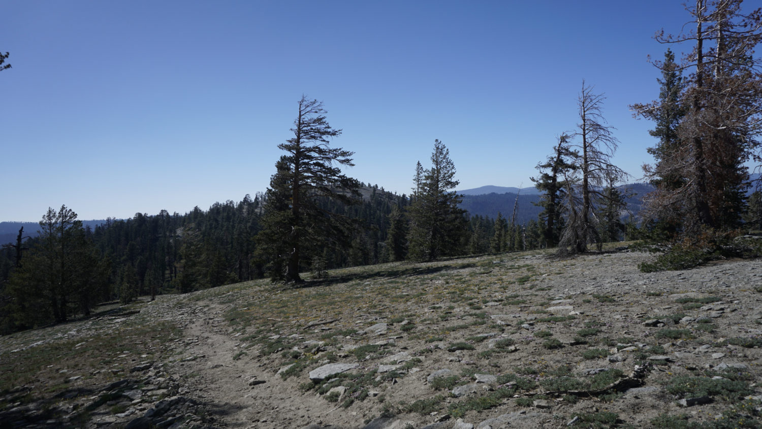
Ascending Horizon Ridge
After leaving the Deer Camp junction behind, the trail begins to climb through earnest through recovering forest. The stark, blackened corpses of lodgepole pines contrast against a vibrant carpet of ground shrubs, including carpets of miniature lupine. This section of trail gains a respectable 800 feet of elevation over the next 1.7 mile as the trail approaches the aptly-named Horizon Ridge at 4.4 miles. This spot roughly coincides with the end of the fire damage, and from here, the forest is typical upper-montane old growth forest composed of lodgepole and red fir pines.
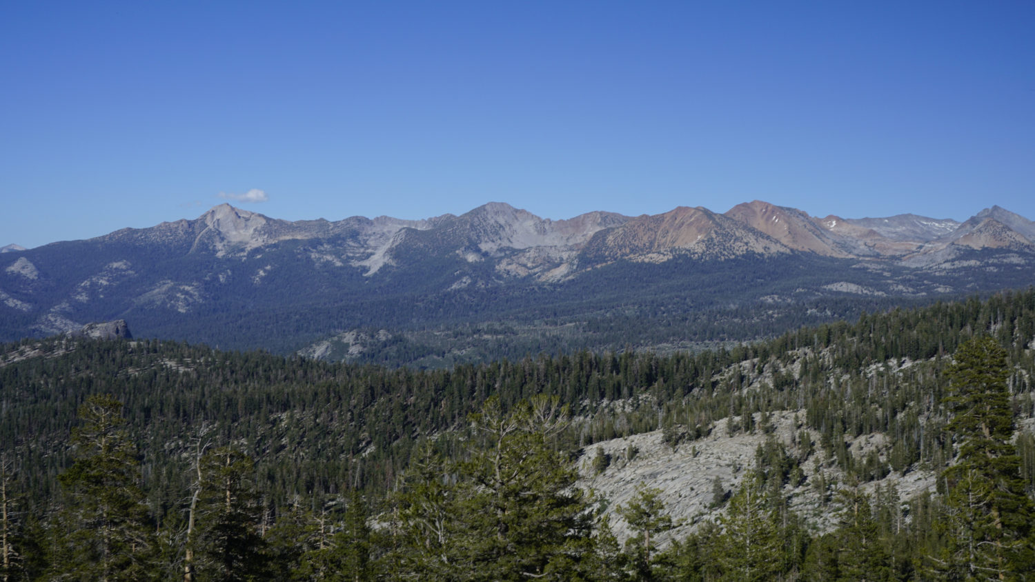
Mt. Starr King in center frame
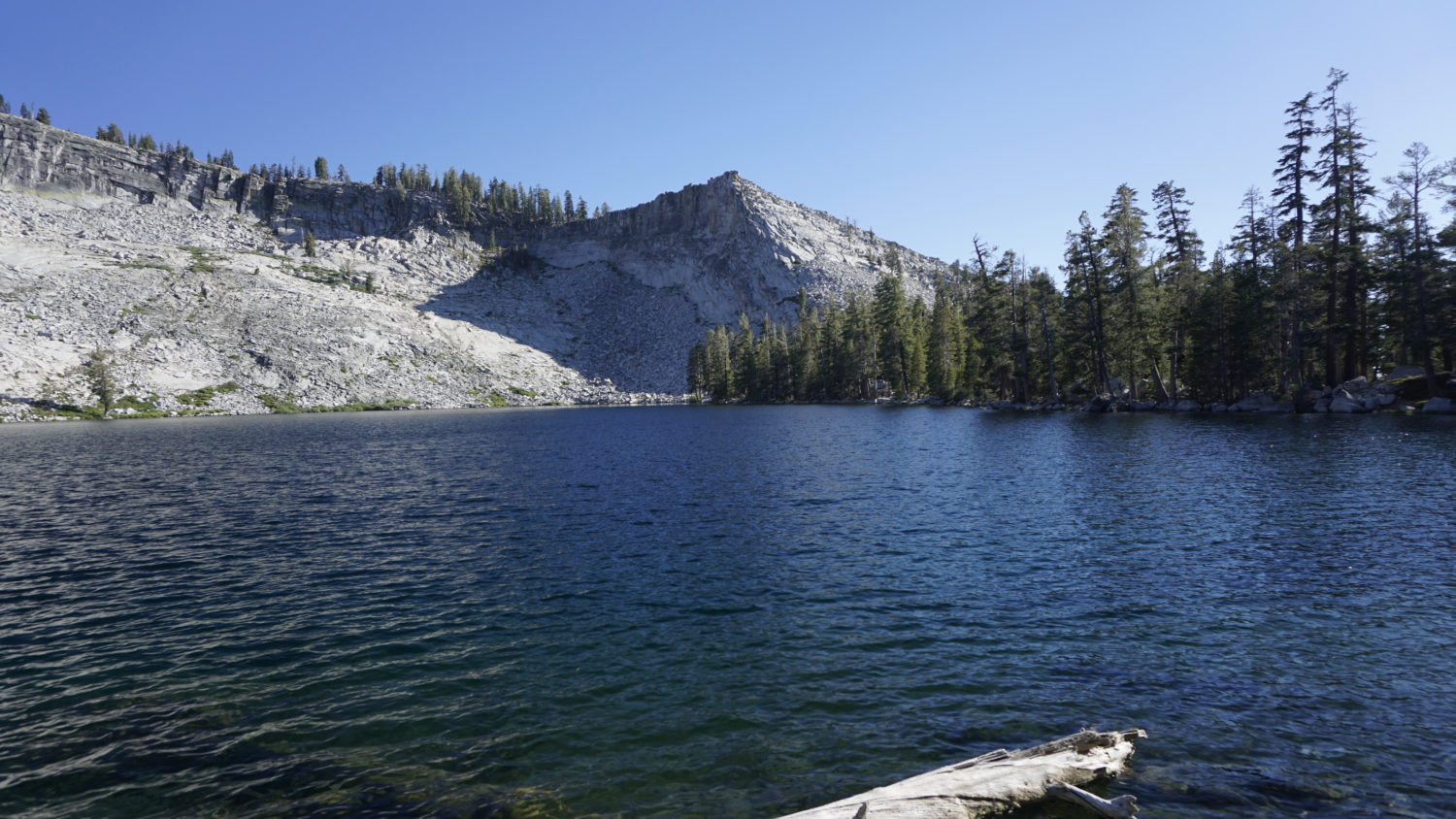
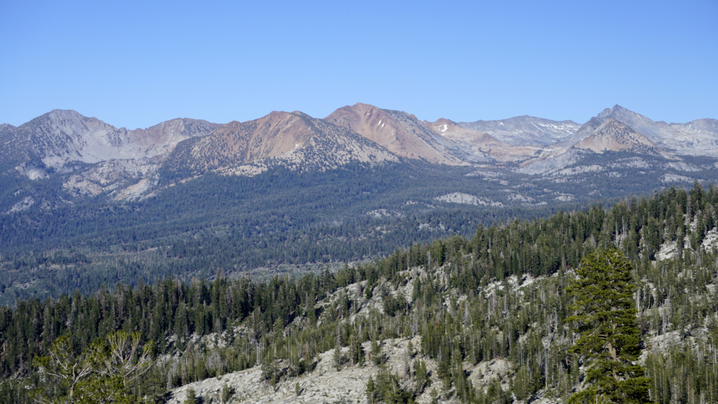
Upon reaching Horizon Ridge, the trail turns south east to make a straight ascent of the open, rocky ridge. The first hints of view north toward Mt. Starr King and Half Dome emerge here, although there are too many trees obstructing the view to get a clear look. The be views occur 1,2 miles ahead after the trail plunges back into denser forest. Where the trail begins to bend due south to approach Ostrander Lake, leave the path and walk east through the trees to open spots along the crest of Horizon Ridge. Views of Mt. Starr King, Mt. Hoffman, and, most imposingly, the Clark Range dominate the skyline, presenting a unique angle on landmarks more typically viewed from points along the rim of Yosemite Valley.

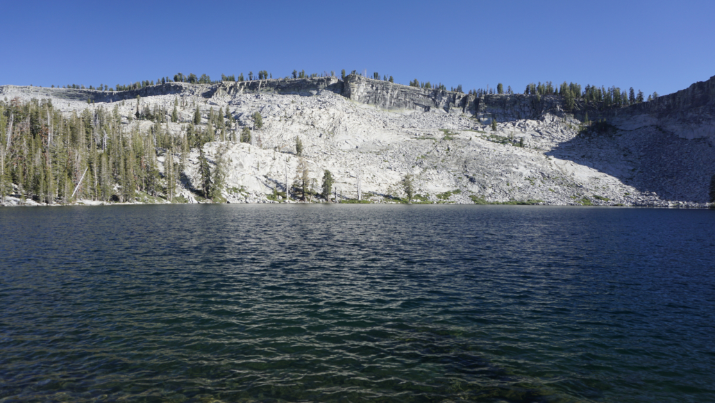
Ostrander Ski Hut
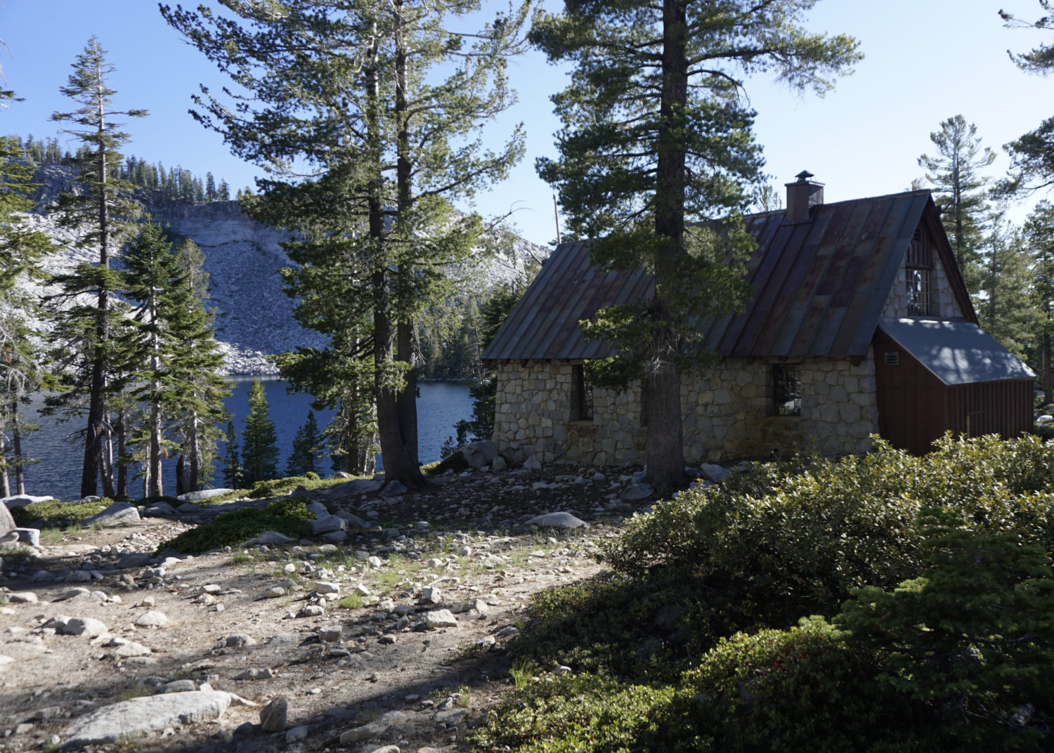
Return to the trail, and continue south on a rocky, undulating track. The final stretch dips about 75 feet from a wooded knoll to the shore of Ostrander Lake. As you approach the lake, look to the right to find the Ostrander Ski Hut. Built in 1941, the picturesque stone hut houses winter travelers who cross-country ski in from Badger Pass. Visitors can reserve the hut for an overnight winter stay by visiting the Yosemite Conservancy’s website here. Summer hikers won’t get access, as the hut is open from December to March.
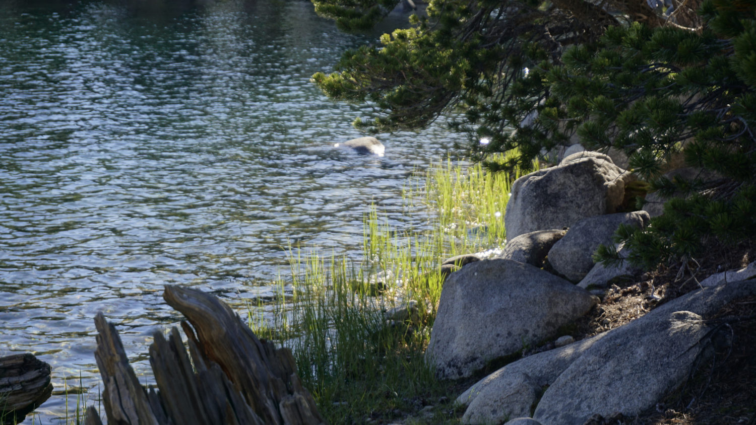
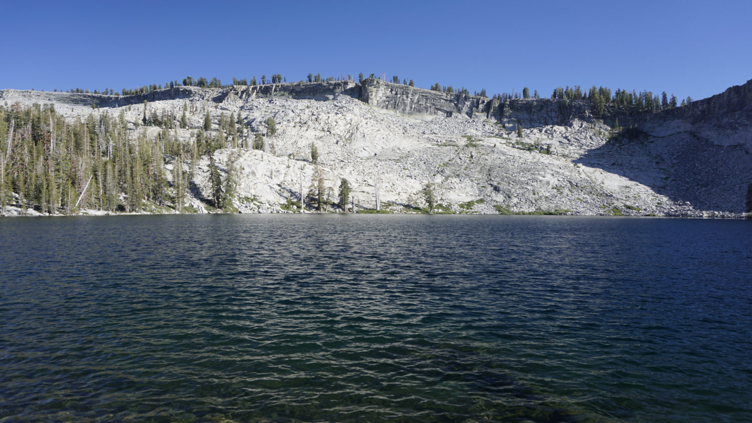
The lake, rimmed by a sheer granite cliff and picturesque peaklet, lies just beyond the hut at exactly 6 miles. Overnight campers will find plenty of campsites by following informal paths east and west along the banks of the lake. Day-hikers will find a number of comfortable spots to sit enjoy the peace of the lake. It is a moderately popular spot, as this is one of the few lakes accessible by day-hike along Glacier Point Road. However, “popular” here is nothing like “popular” inside Yosemite Valley. Even with a fair amount of traffic, a leisurely lunch along the lake provides a pleasant, tranquil experience.
Retrace your steps from the shore and follow the trail back the way you came to return to your car at the trailhead.