One of the most exciting things about hiking in Los Angeles is exploring the diverse landscapes that make up Southern California. Head to the San Gabriel Mountains for coniferous forests and alpine air. Or visit Joshua Tree National Park to experience the Mojave and Colorado deserts. Or turn to the Santa Monica Mountains for coastal hikes and stunning ocean views among Southern California’s chaparral ecosystem. I’m hard-pressed to name another urban center with as much access to as many different environments as LA. With this in mind, I offer you a way to immerse yourself in yet another one of this city’s diverse open spaces. At 6.3 miles, the Oat Mountain Trail takes you through rolling, grassy hillsides to the top of the highest peak in the Santa Susana Mountain Range. And as a bonus, you’ll get to visit a little piece of LA history, too.
The drive to the trailhead was mostly smooth, aside from the several potholes along Browns Canyon Rd. While it’s doable in most cars, we were glad we had a high-clearance vehicle. At the park’s entrance there is an Iron Ranger collecting the $5 parking fee – make sure to bring cash and a pen.
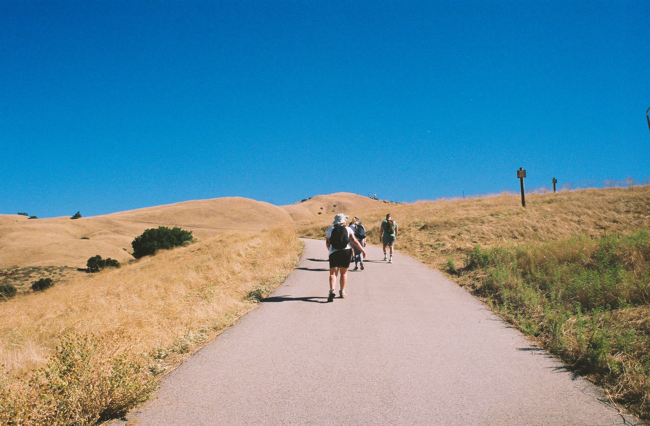
Once inside, there are several parking lots to choose from. I recommend driving to the dirt lots by the trailhead, as they save you a few steps. There are also no amenities here, so be sure to stock up on water and take care of any bathroom needs beforehand. Hike past the gate to start your adventure. You’ll be trekking uphill on a very exposed asphalt road all the way to the top, so be sure to pace yourself accordingly.
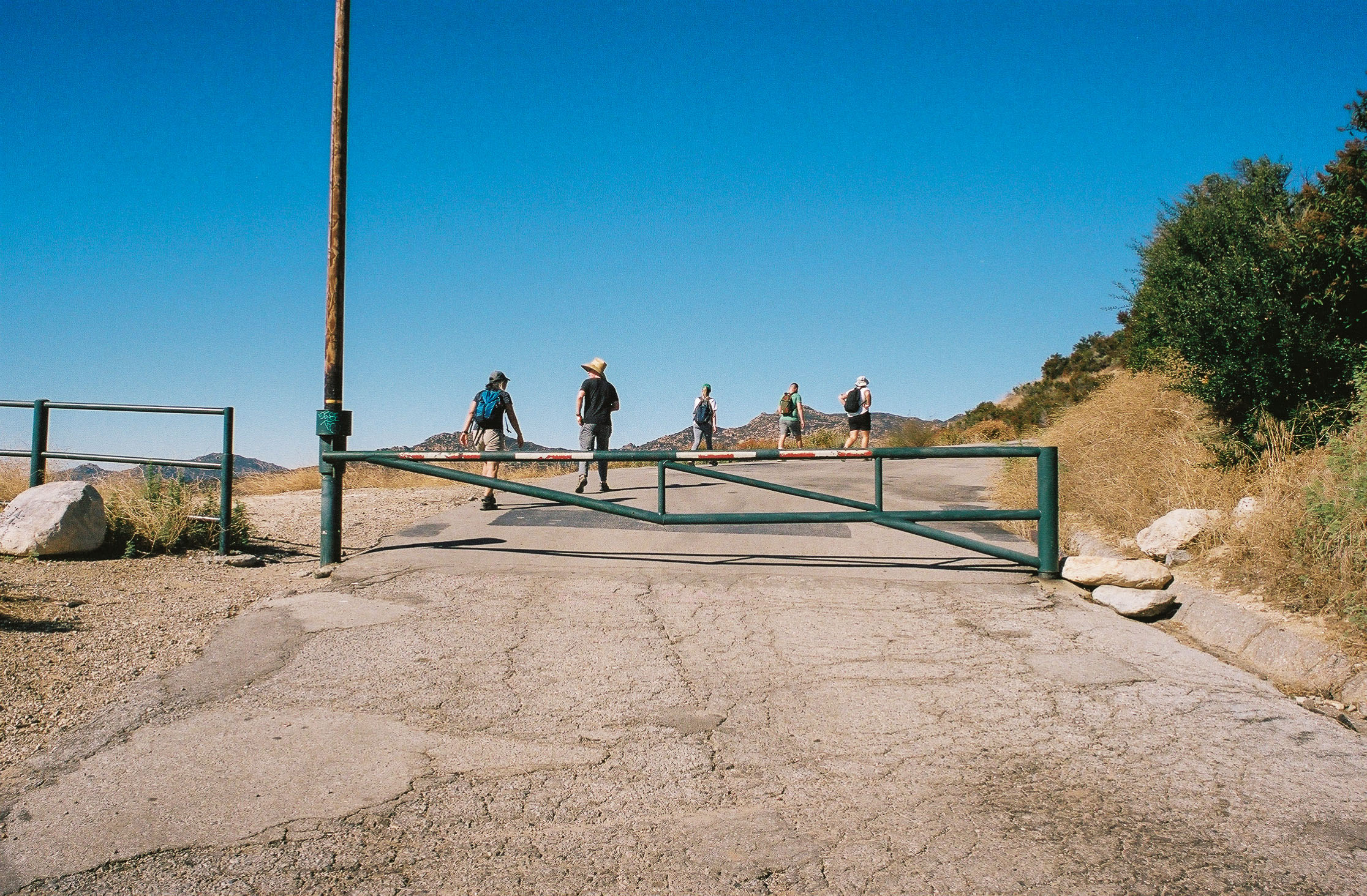
The trailhead and the start of your hike. Shot on Kodak Portra 400 film.
You’ll hike for about 0.6 miles before reaching your first point of interest – Nike Missile Site LA-88. Erected in 1956, it’s one of 17 Nike-Ajax Missile Defense System locations built across Los Angeles during the Cold War (you can find similar sites at San Vicente Mountain and Mount Disappointment). Unfortunately, since then this piece of history has fallen into decay. In 2008, a fire burned down most of the buildings, resulting in a legal fiasco about which land management agency was responsible for its care. With no resolution, it’s been left unmaintained since. On top of that, it also served as a training ground for LAPD Bomb Squad and SWAT teams. It was no surprise then that when we visited, the several abandoned concrete buildings, cars, and buses were all covered in graffiti and littered with bullet holes. After a few minutes of careful exploration, we continued up toward the peak.
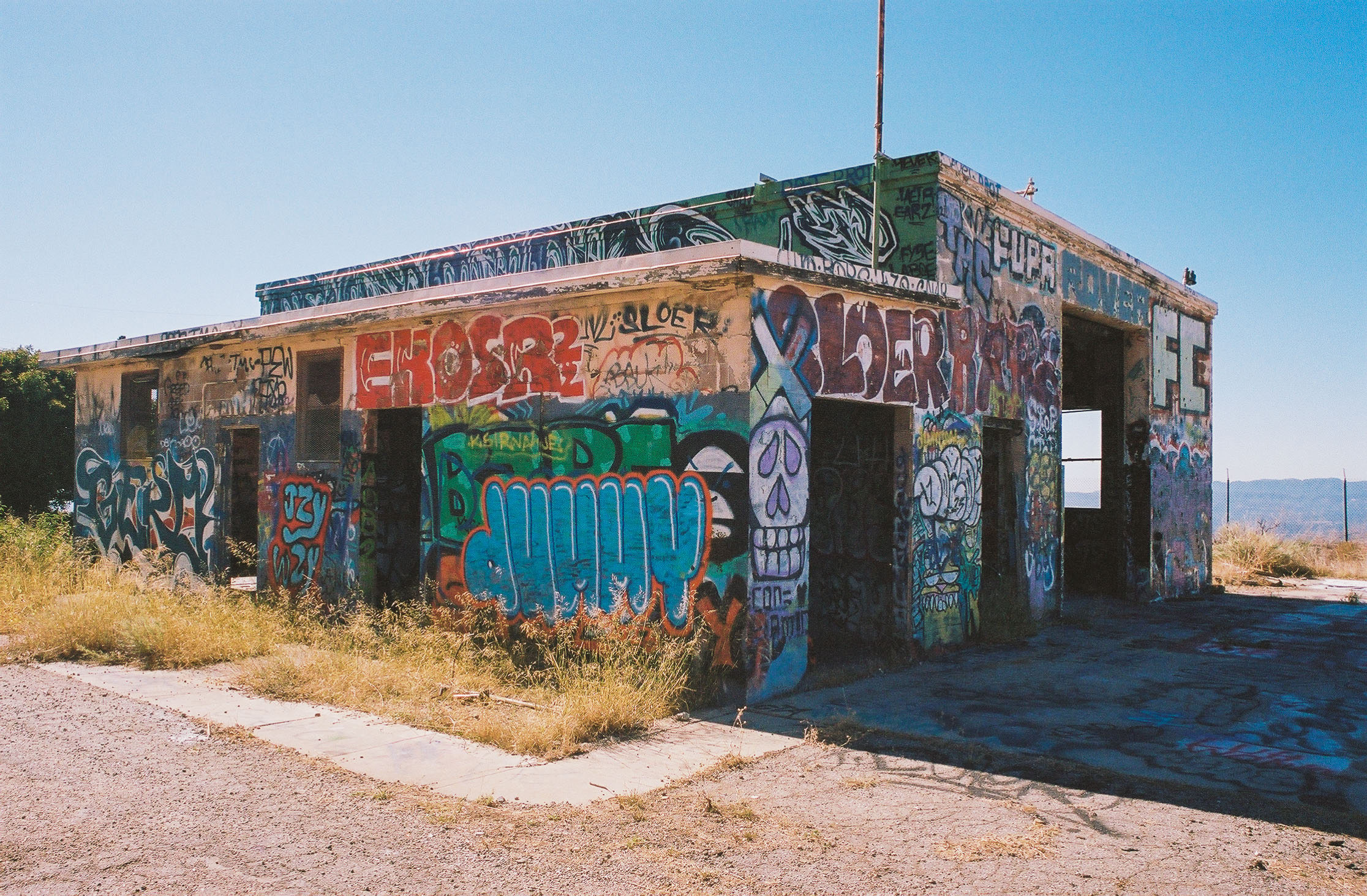
You can find the remains of old barracks and administrative buildings. Shot on Kodak Portra 400 film.
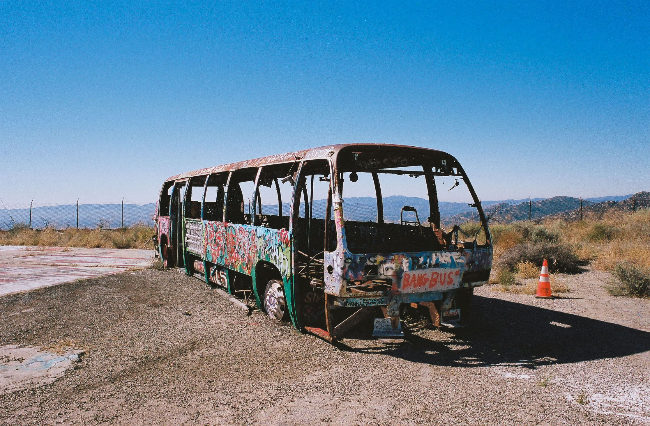
Bullet holes and graffiti cover this abandoned bus. Shot on Kodak Portra 400 film.
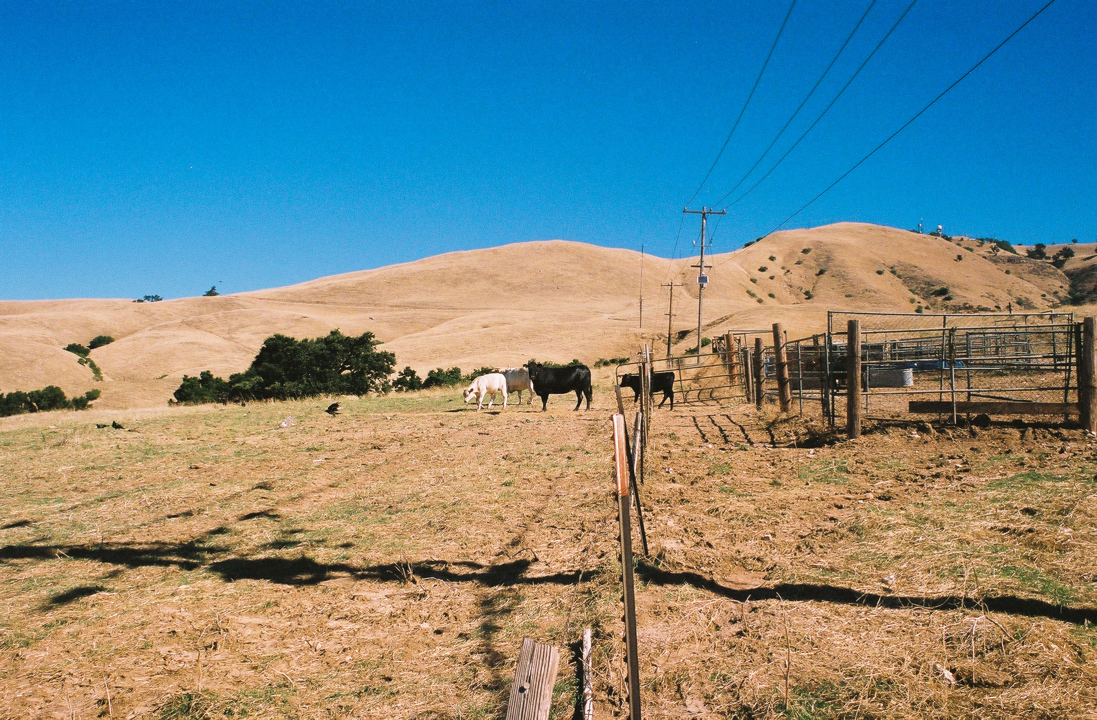
Now past the Nike Missile Site, you can really take in the beauty of the Santa Susana Mountains. The grass-covered hills were a golden brown when we hiked this trail in the summer, with Turkey mullein providing small pops of green. Cows were also roaming along the hillside, which made for an idyllic scene that felt plucked straight from a novel.

Cows grazing on the grassy hill. Shot on Kodak Portra 400 film.

The views get better and better as you climb. Shot on Kodak Portra 400 film.
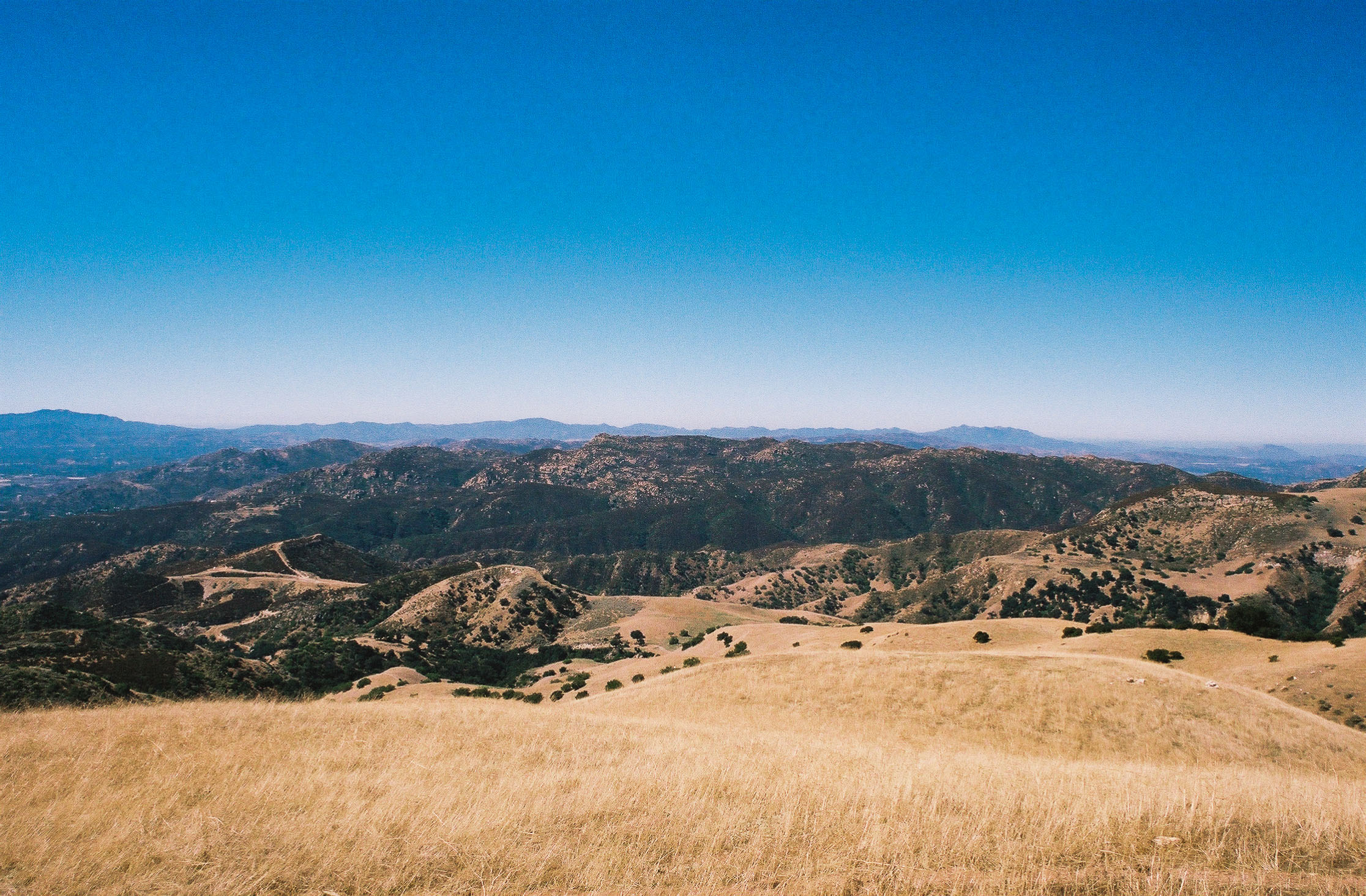
As you climb, the views continue to get more and more impressive. The Santa Monica, San Gabriel, Totopa, and Santa Susana Mountains, as well as the Simi Hills, were painted in earthy shades of green, yellow, and brown. Closer to the trail, we encountered many mating crickets.
Once you start, it’s a nonstop climb to the top. Shot on Kodak Portra 400 film.
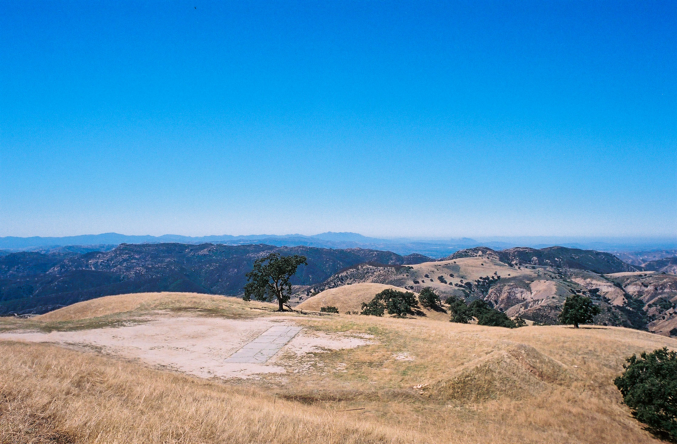
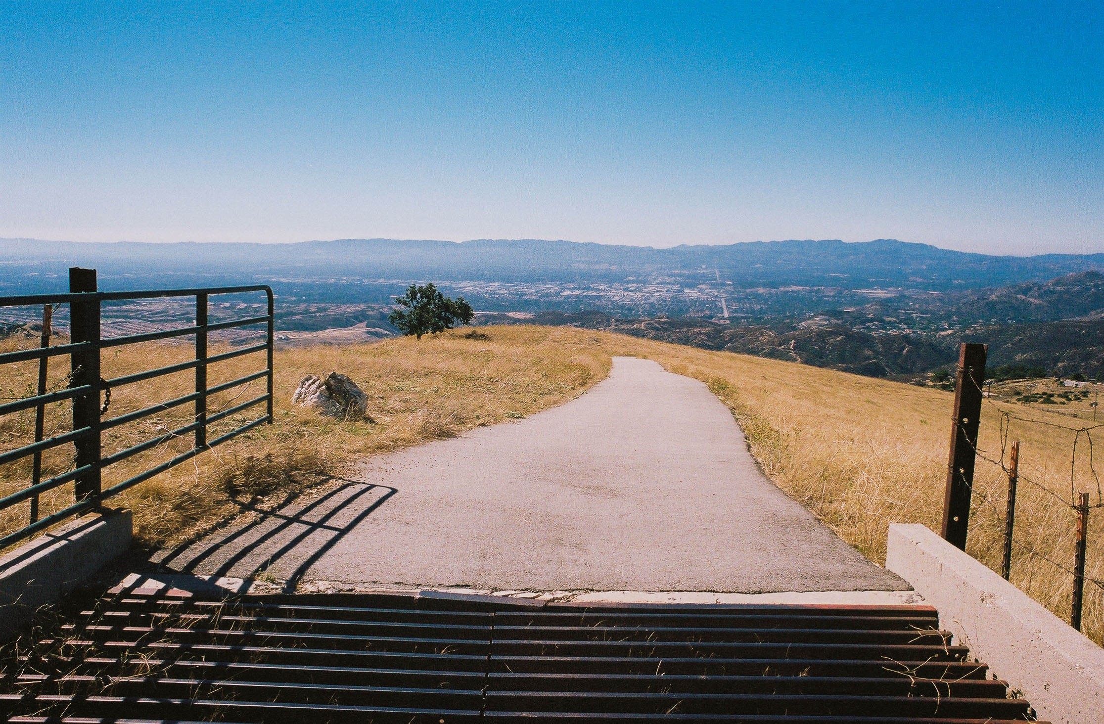
About 2.1 miles in, there is a side trail to your left that takes you to a shaded, picturesque lookout with gorgeous views of the surrounding area. It’s the perfect spot for a snack or lunch break.

You could spend an entire afternoon at this rest stop, taking in the views while enjoying the shade of the Valley Oak tree. Shot on Kodak Portra 400 film.
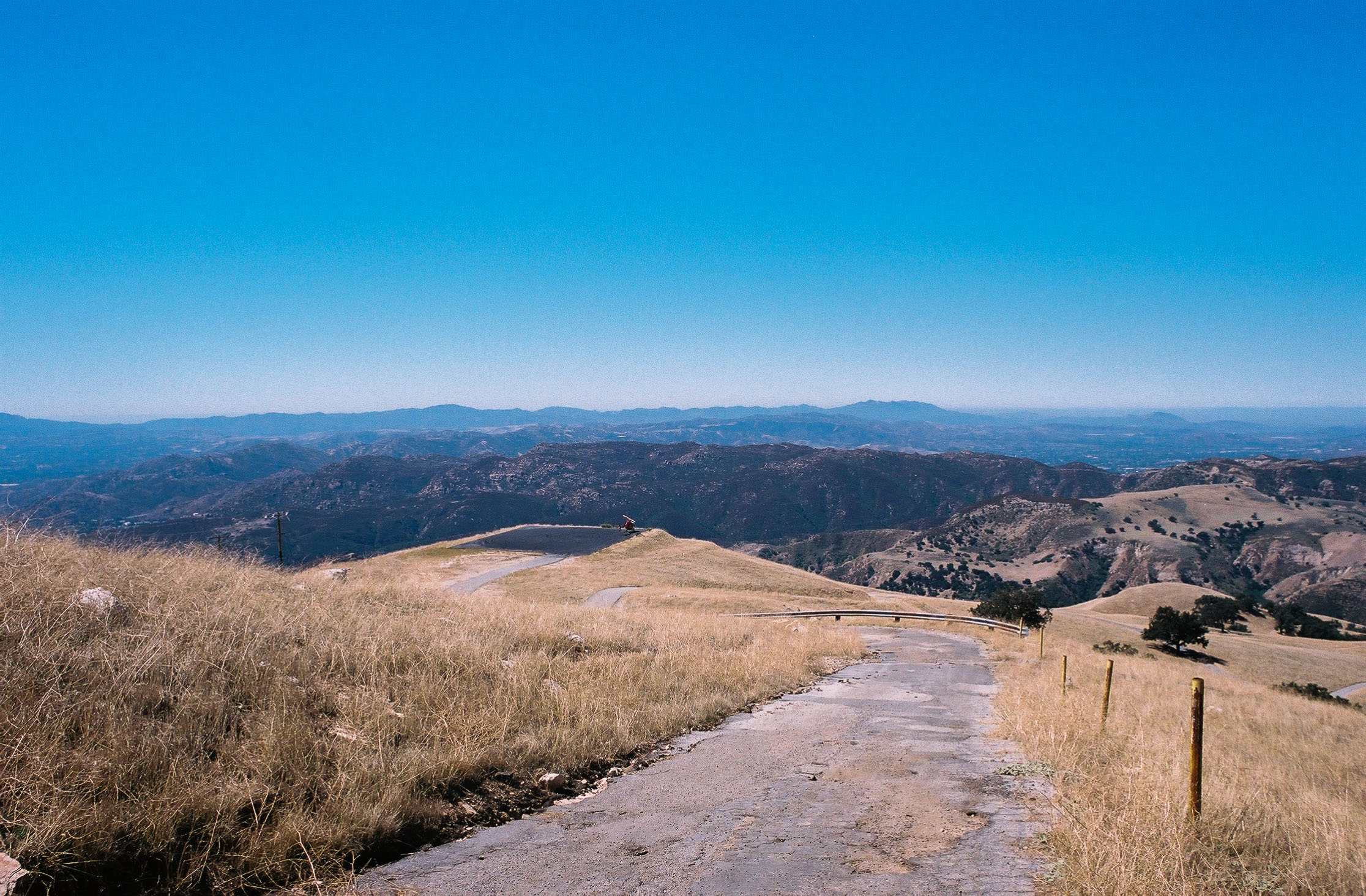
At mile 2.3, you get your first real break from the sun, as Valley Oak trees provide a few pockets of shade. 0.2 miles later, you’ll notice a spur trail to one of the few oil wells in the area. 0.1 miles after that and to your right is a path that leads to a helicopter pad.
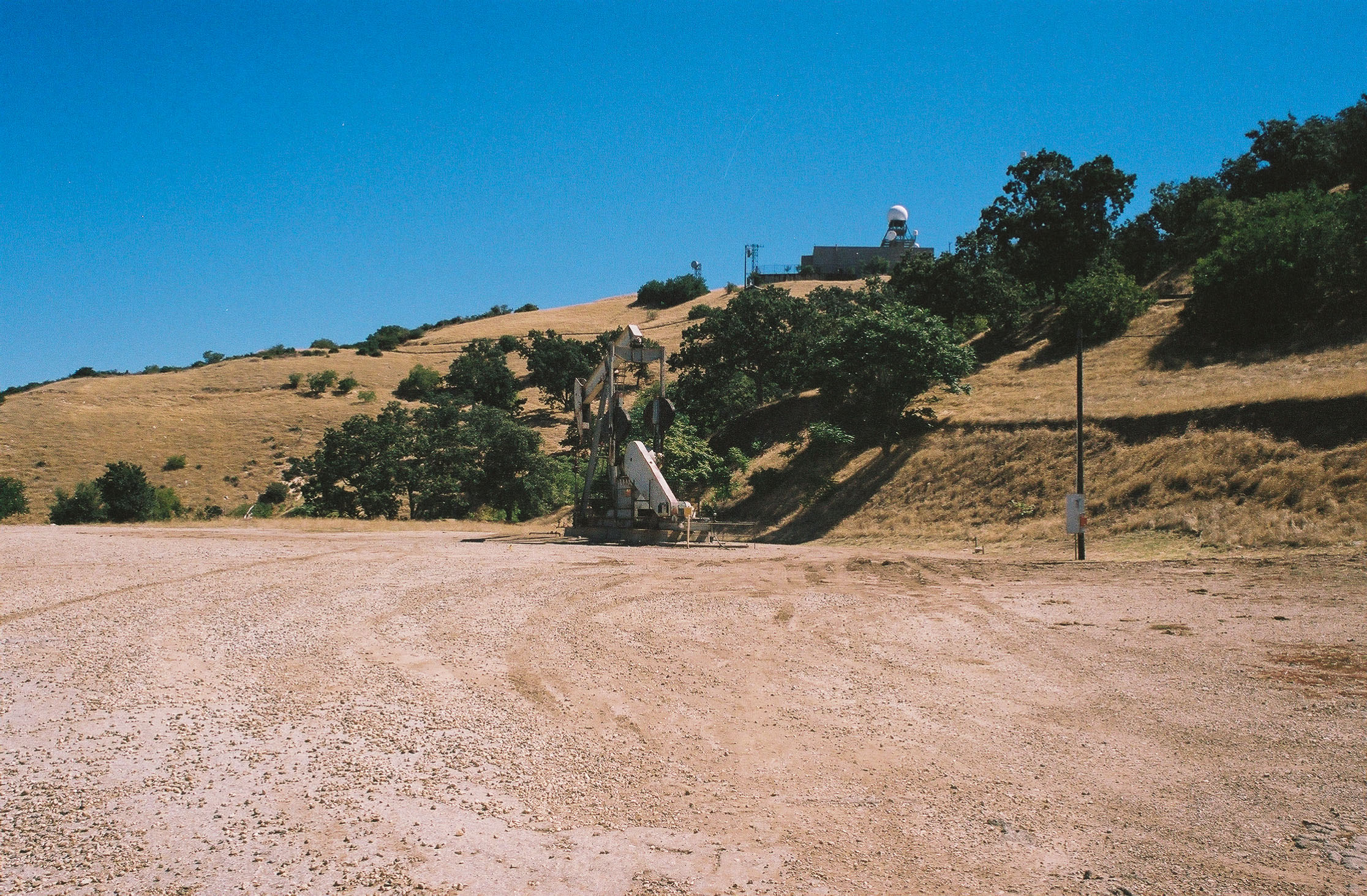
These oil wells are part of the Aliso Canyon Natural Gas Storage Field. With a storage capacity of 86 billion cubic feet, it’s one of the country’s largest natural gas storage facilities. Shot on Kodak Porta 400 film.
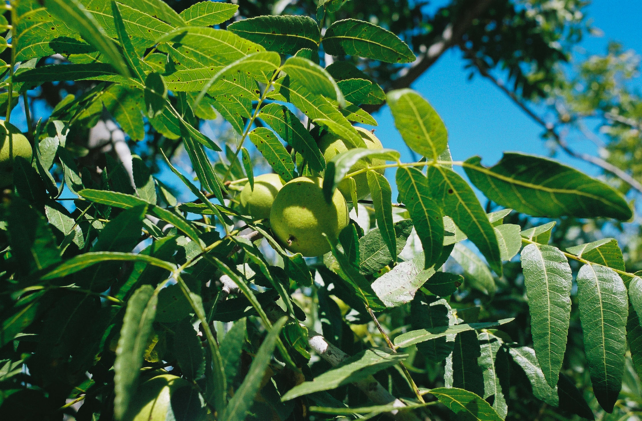
At 2.8 miles, you’ll reach another gate. While it appeared to be closed at times, when we went it was open, so we continued forward. In this section of the hike, you’ll find the nightshade Sacred Datura and Southern California Walnut trees.
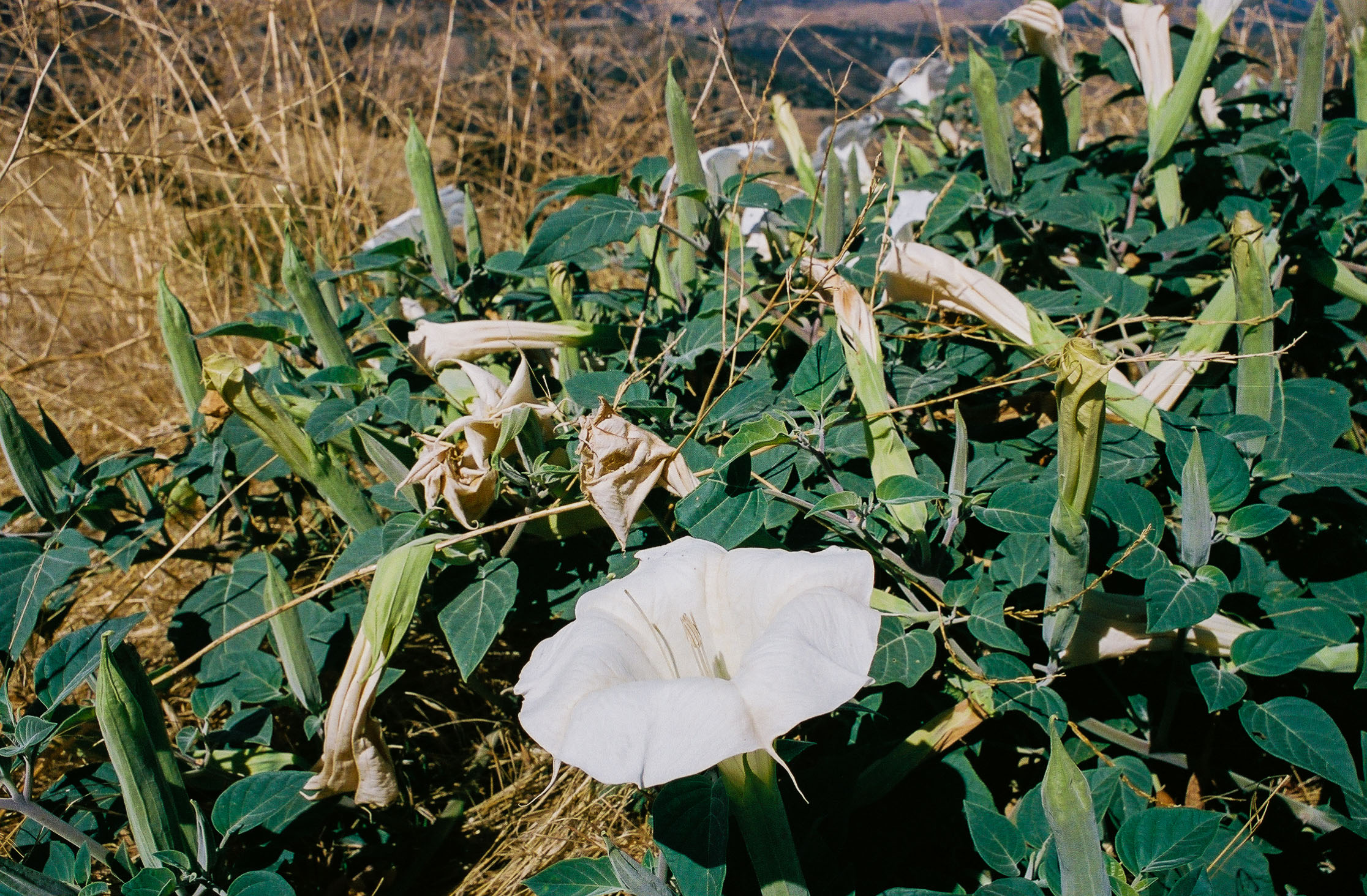
Sacred Datura is a beautiful but poisonous flower known to induce hallucinations. Shot on Kodak Portra 400 film.

Southern California Walnut tree. Shot on Kodak Porta 400 film.
At 3.1 miles we turned left at the junction and hiked on a dirt path for 0.2 miles before rejoining another paved road.

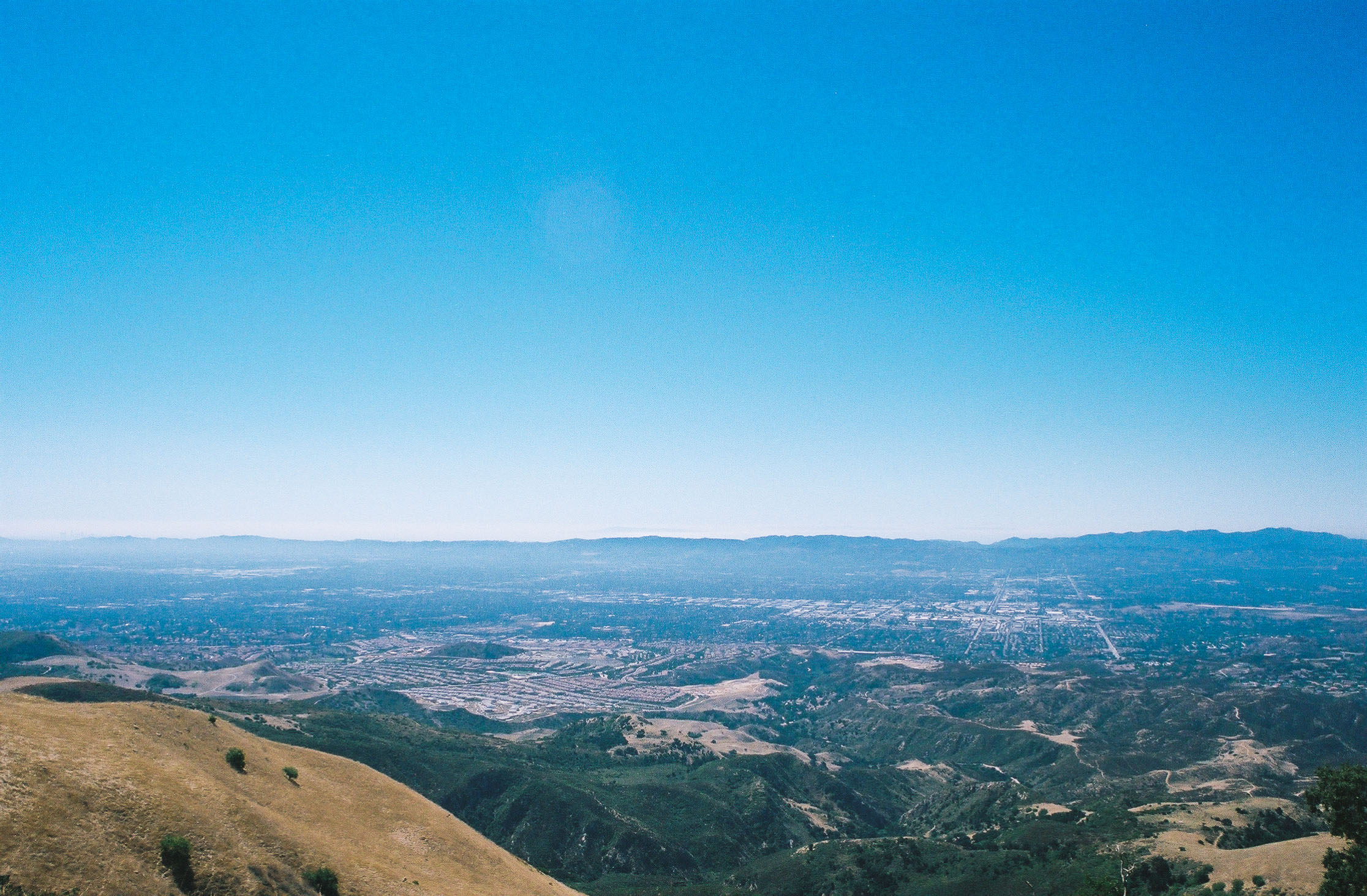
Views atop Oat Mountain on a hazy, Southern California summer day. Shot on Kodak Portra 400 film.
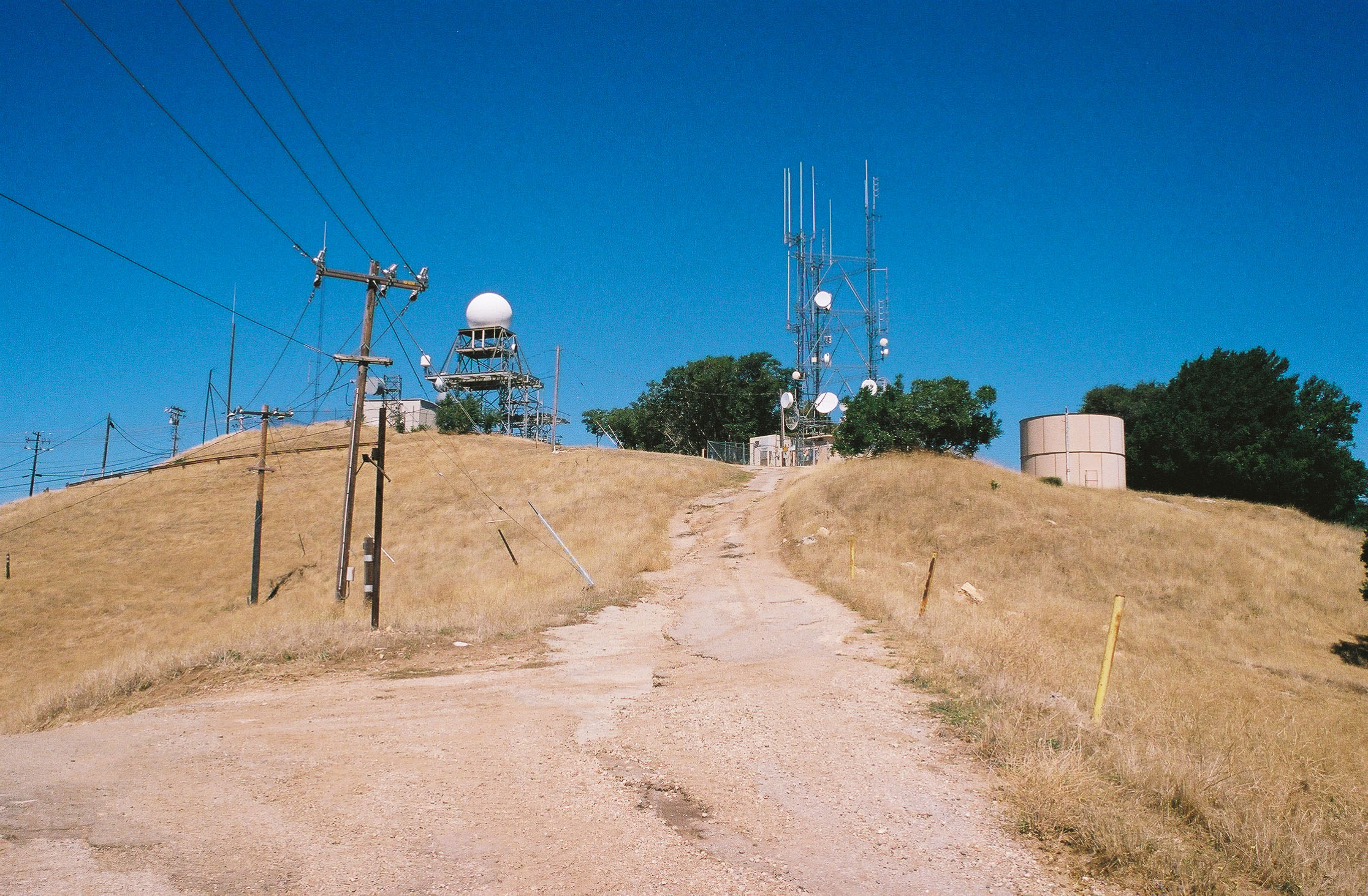
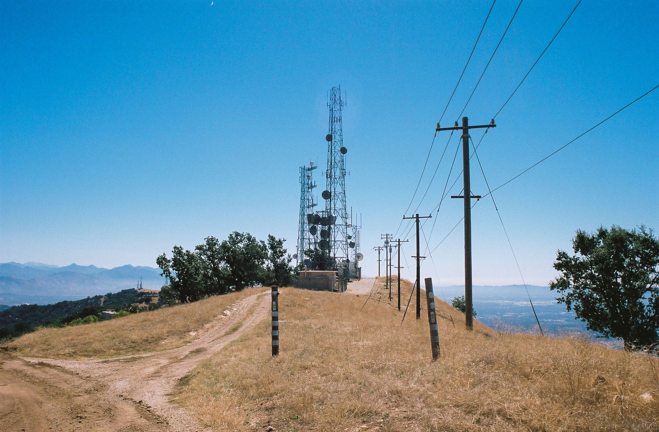
Now at the top of Oat Mountain, you can see for miles. Within your sightline include the San Fernando and Simi Valleys, Santa Clarita, Downtown Los Angeles, and even Signal Peak in Orange County. Unfortunately, the mountain’s peak is less visually appealing – several telecommunication towers occupy this 3,747-foot peak.

Several communication towers are built on top of Oat Mountain. Shot on Kodak Portra 400 film.

More communication towers on top of the mountain. Shot on Kodak Portra 400 film.
After you’ve soaked in the views, retrace your steps to complete your hike.

You’ll have incredible views hiking back. On the way down, we saw a helicopter land on the helicopter pad. Shot on Kodak Portra 400 film.
Tags: california, Hiking, Historical Interest, Los Angeles, Nike missile site, Oat Mountain, santa susana mountains