An adventurous peakbagging trip ending with a climb up the northern slopes of Mount Baldy via Pine Mountain, this remote hike offers solitude and the opportunity to snag two other high peaks in the San Gabriel range– Pine Mountain and Dawson Peak. The trail itself may be relatively short; however, the dramatic changes in elevation will test both your legs and your resolve.
OF NOTE (please read before attempting this trail):
- ***Blue Ridge Truck Road requires a four-wheel drive vehicle!*** Some of the difficulty of this trail can be attributed to getting to the actual trailhead. The unpaved road is fairly well-maintained through Mountain High; however, past Guffy Campground, the road becomes rough, rocky and uneven. Also, this road is not open all year long. There are gates along the road that may be closed depending on the time of year (winter, when Mountain High is open) and when road conditions are unfavorable (e.g. fallen trees, flooding, snow, etc.). If the gate near Guffy Campground is closed to vehicles, you can still get to the trailhead on foot, but this adds about 2 extra miles in each direction. Wherever you park on this road, display your Adventure Pass.
- The best time to do this trail is late summer or early fall, after the snow has melted and before any new snow falls. Do not attempt this trail if it is icy/snowy unless you are properly trained and have the right equipment. A slip or fall on these slopes could easily result in serious, life-threatening consequences.
- Even in the summer and fall, hiking on loose rocks and scree can result in slips and falls. The steep sections should be approached with extreme caution. Bring trekking poles.
Do not attempt if there is a storm, or any chance of a storm, because this trail is quite exposed with little cover. Also note that mountains tend to make their own weather, so even if it’s looking nice and calm near your home, a nasty thunderstorm could be brewing up in the high San Gabriels.
Needless to say, you’ll want nearly ideal conditions when attempting this trail. Now that you’ve been sufficiently warned, let’s climb.
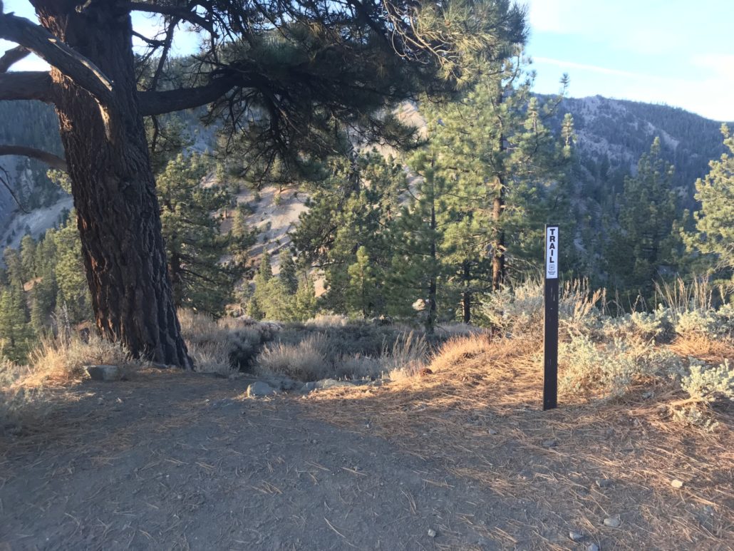
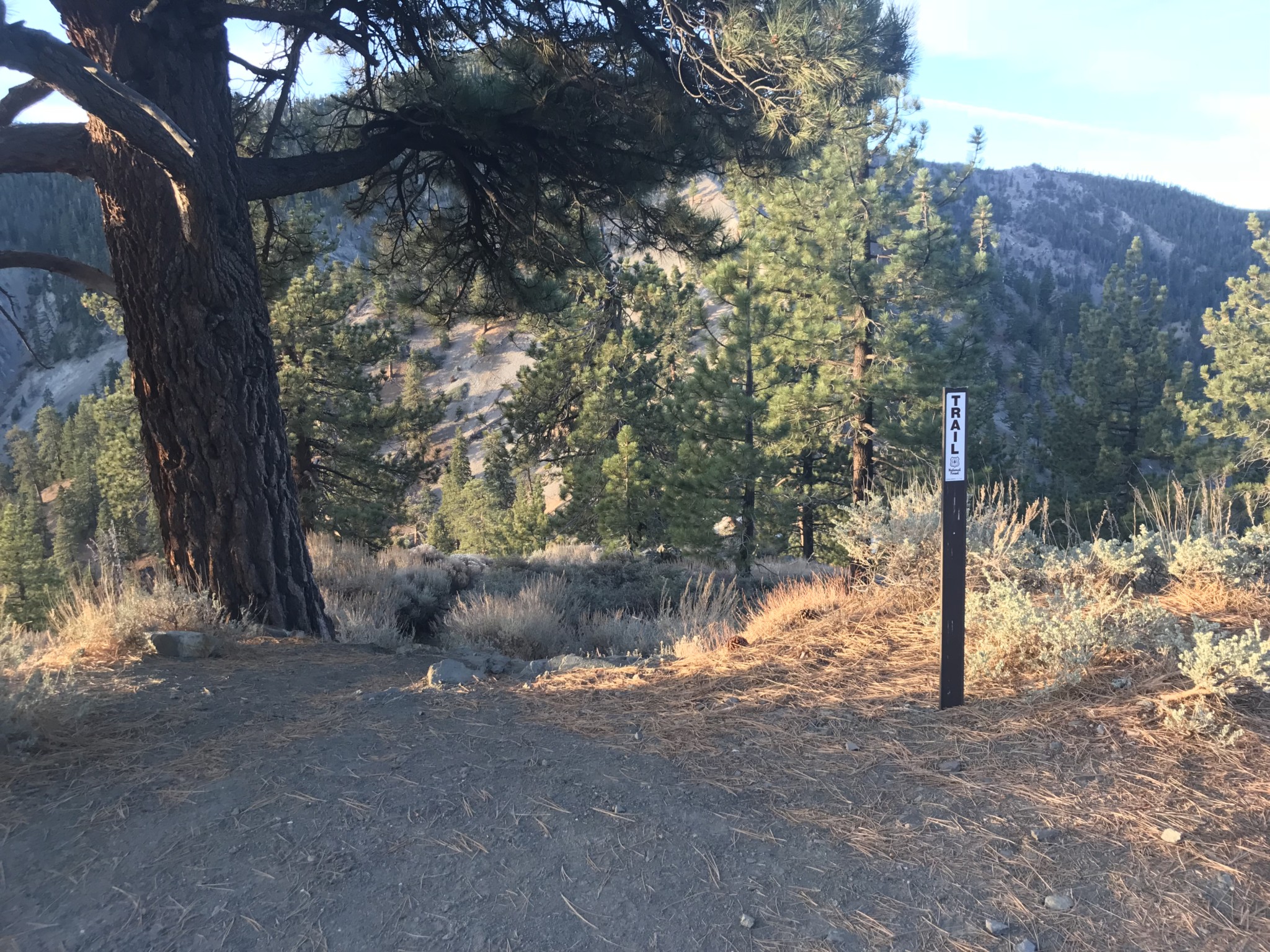
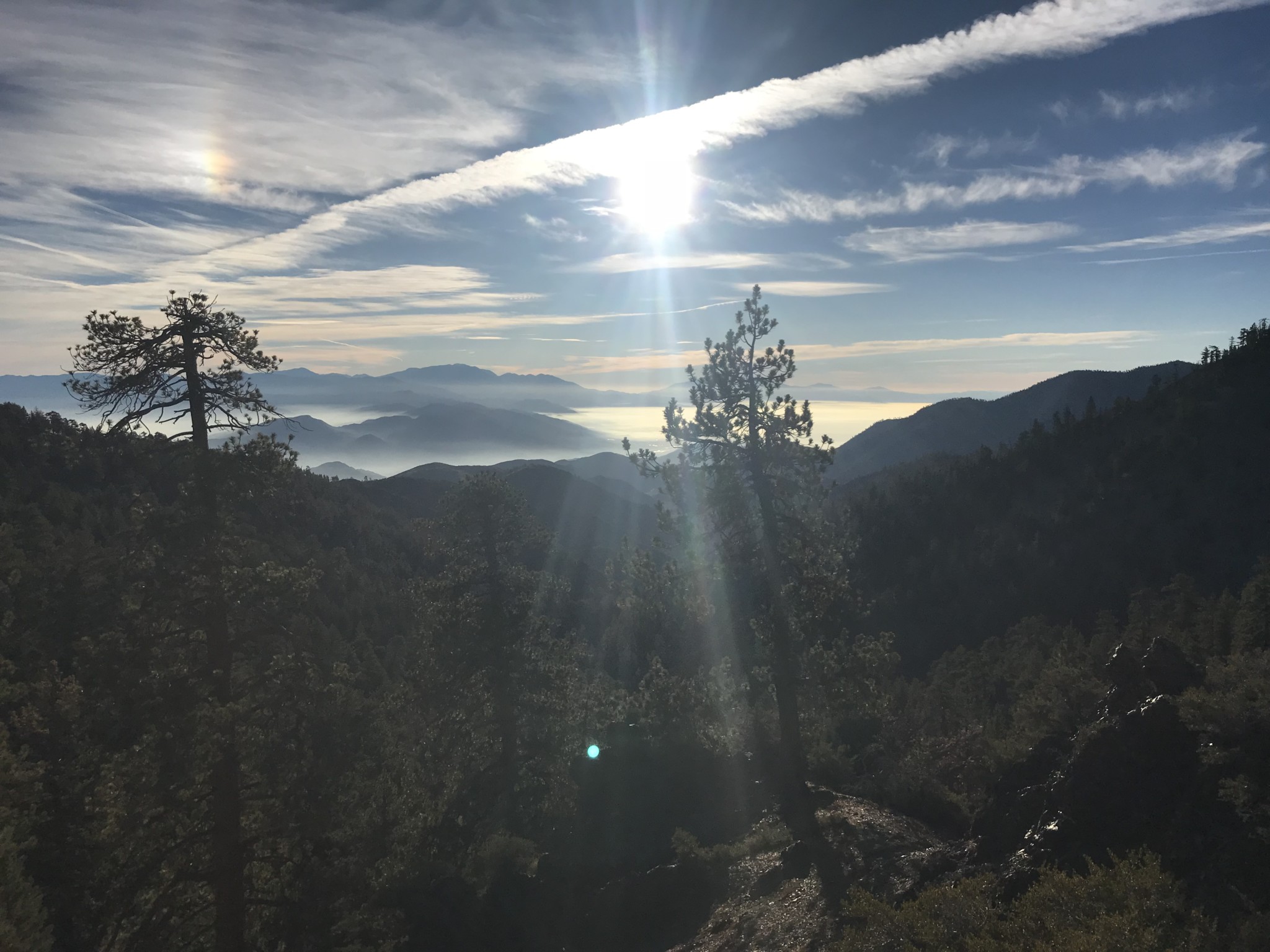
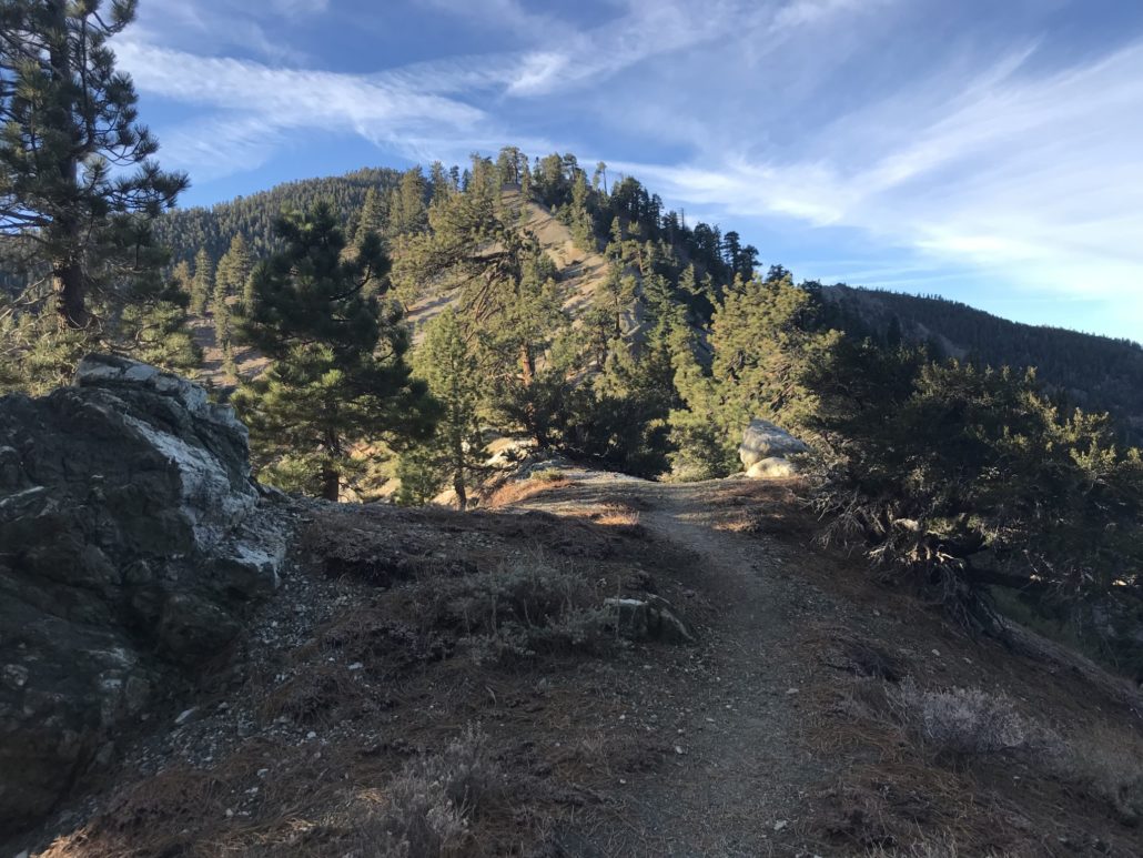
The trailhead
Once you have managed to actually get to the trailhead, the real fun begins. The trail descends from the side of the road a short distance, leading you to the first of only a few signs on the trail. Although not a very helpful sign for the trail itself, it does remind you to keep an eye out for Bighorn Sheep that often roam this area.
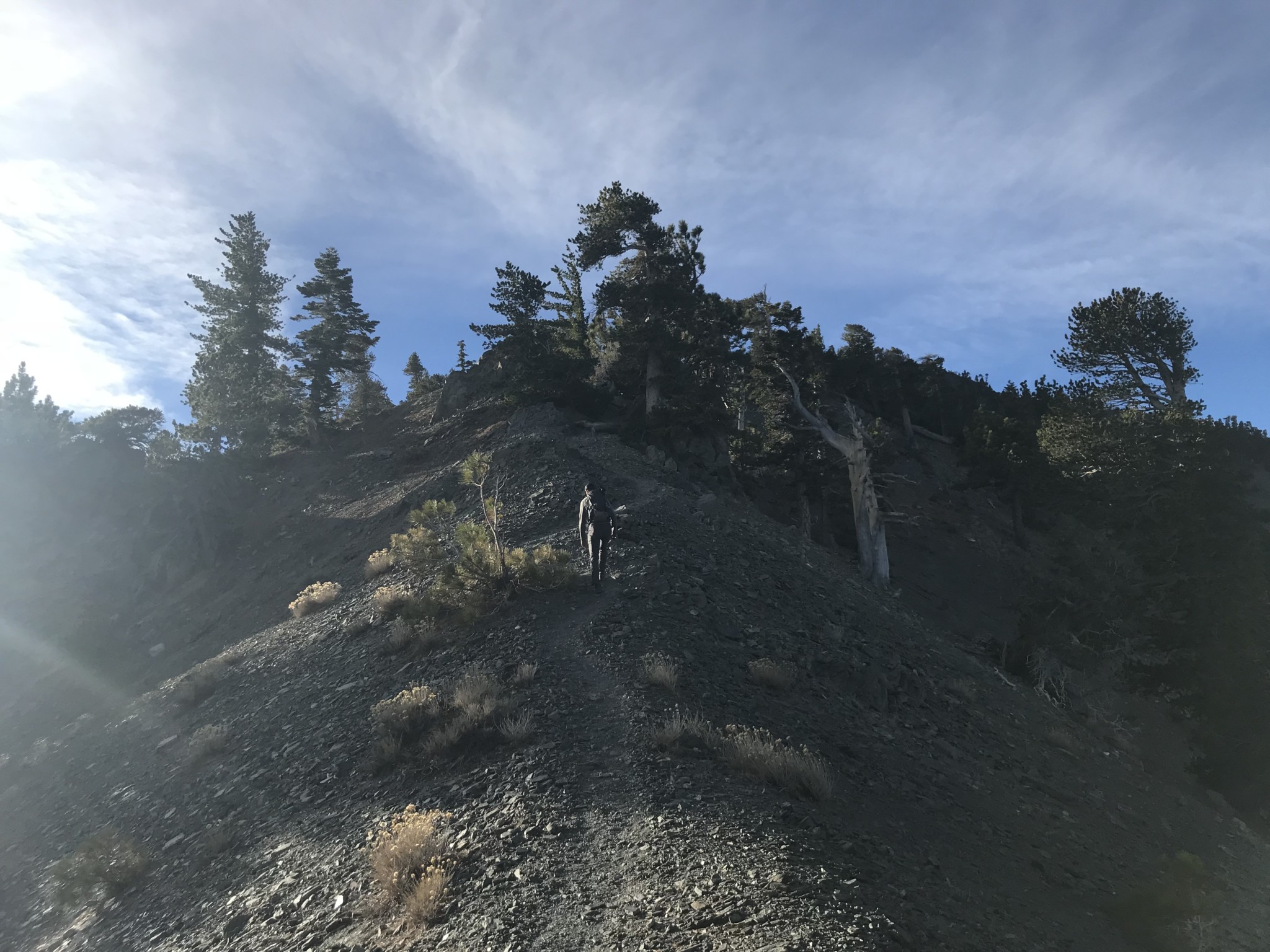
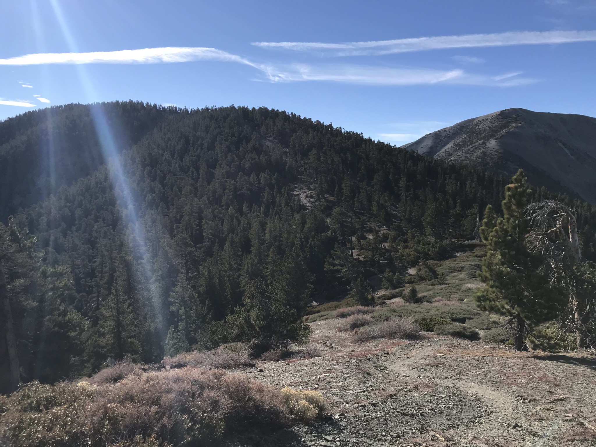
After completing the initial descent of a couple hundred feet, you reach the base of the first ascent of many on this hike.
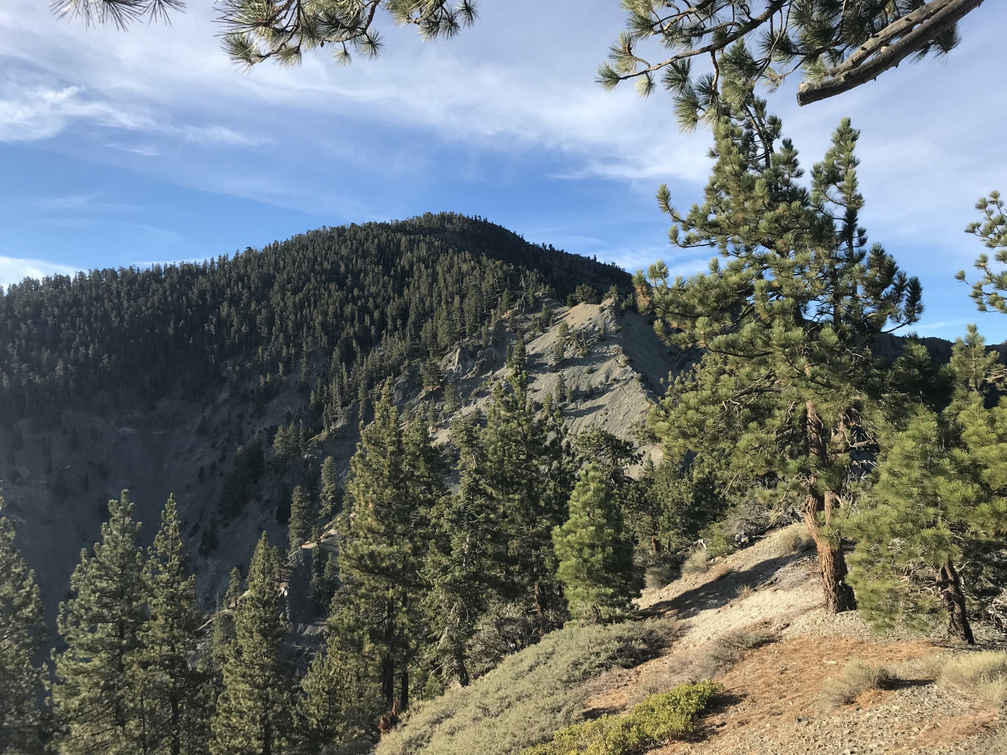
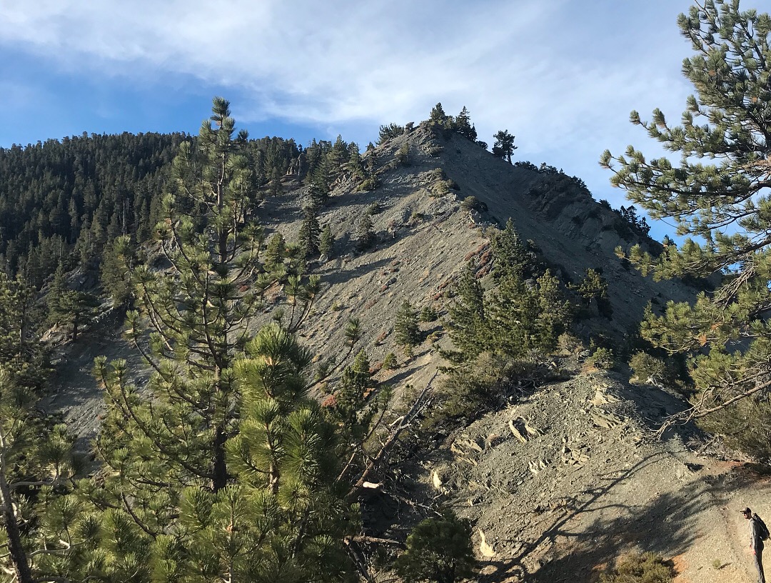
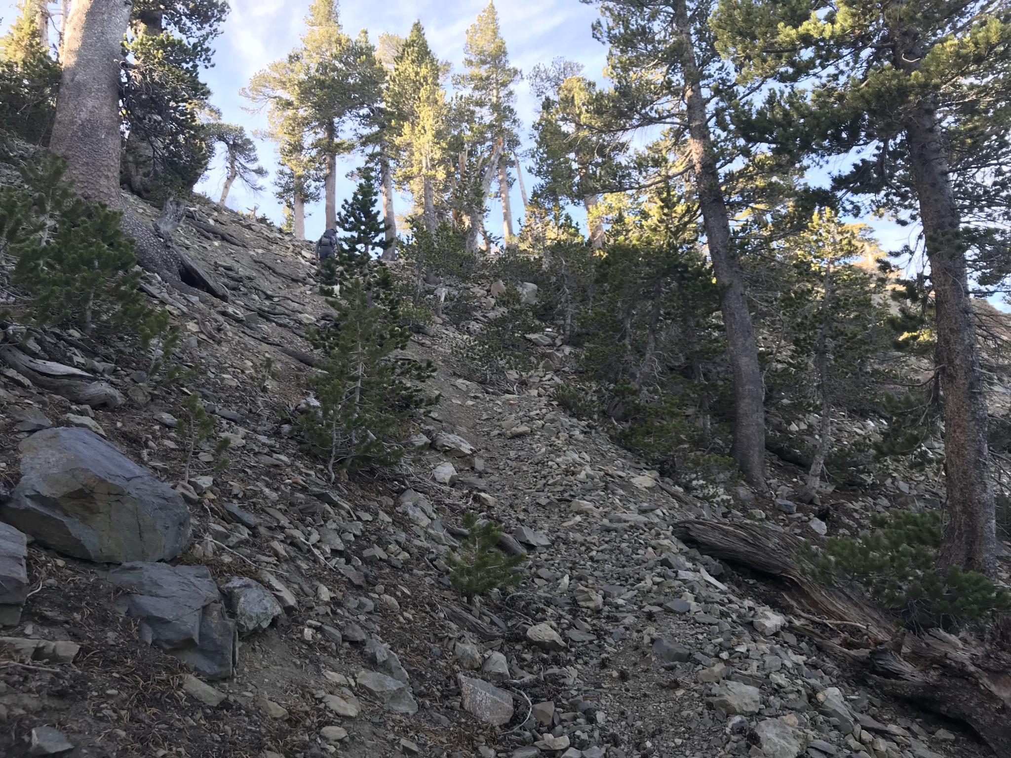
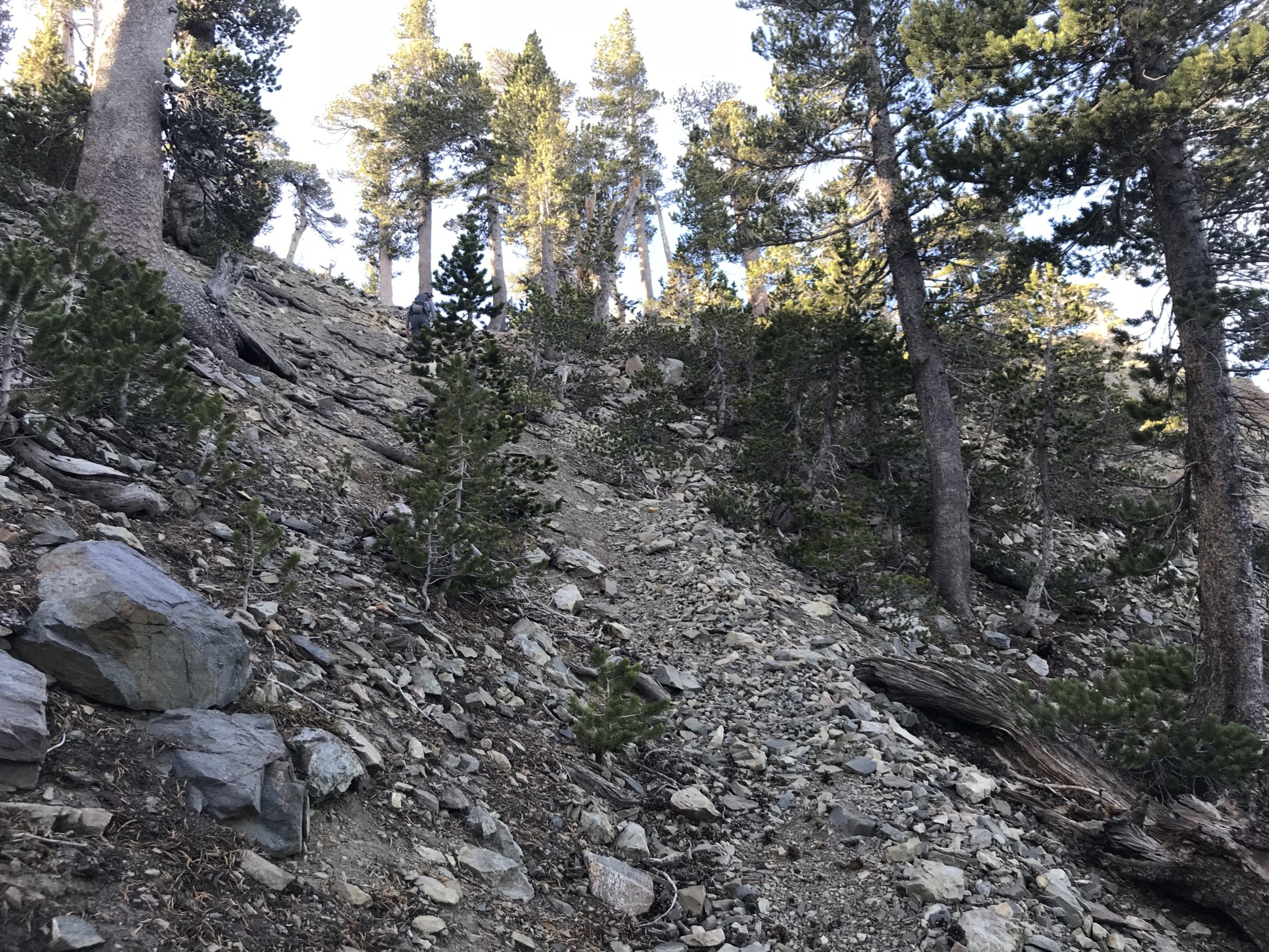
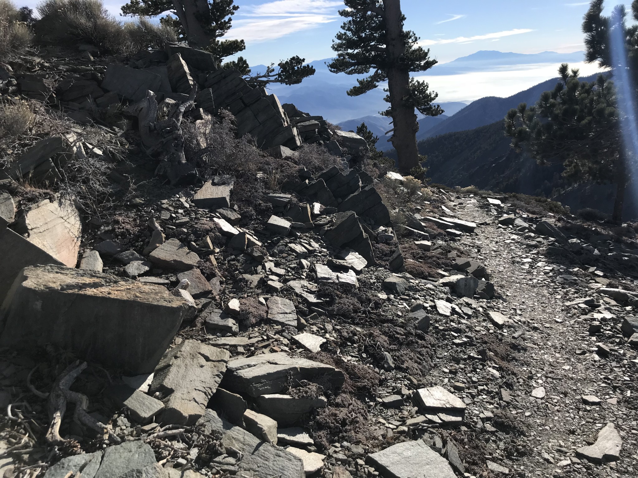
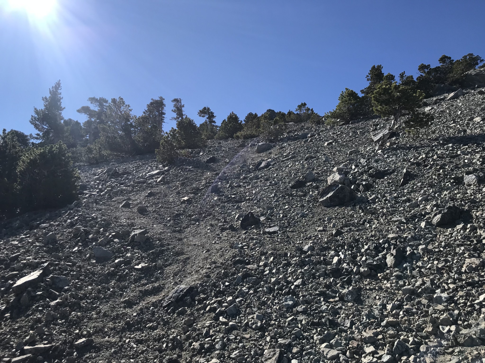
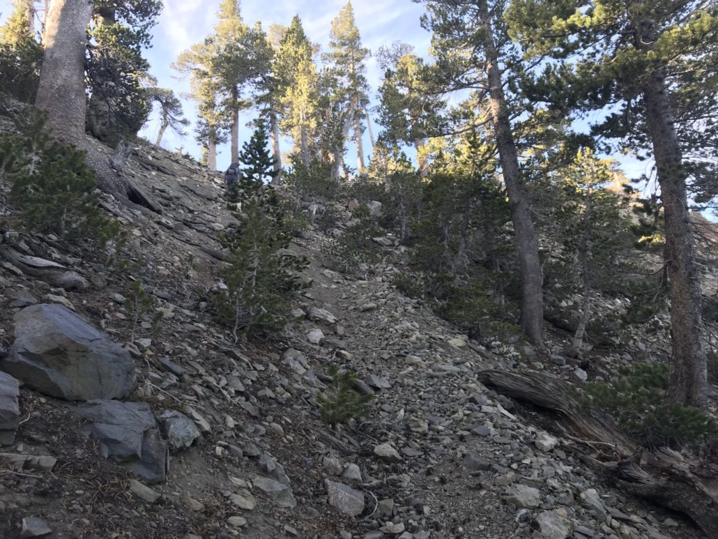
The trail becomes more and more rocky as you ascend, making trekking poles a smart choice on this hike. Take a breather at the top of the first hill and prepare for the next section, which is the steepest of the day.
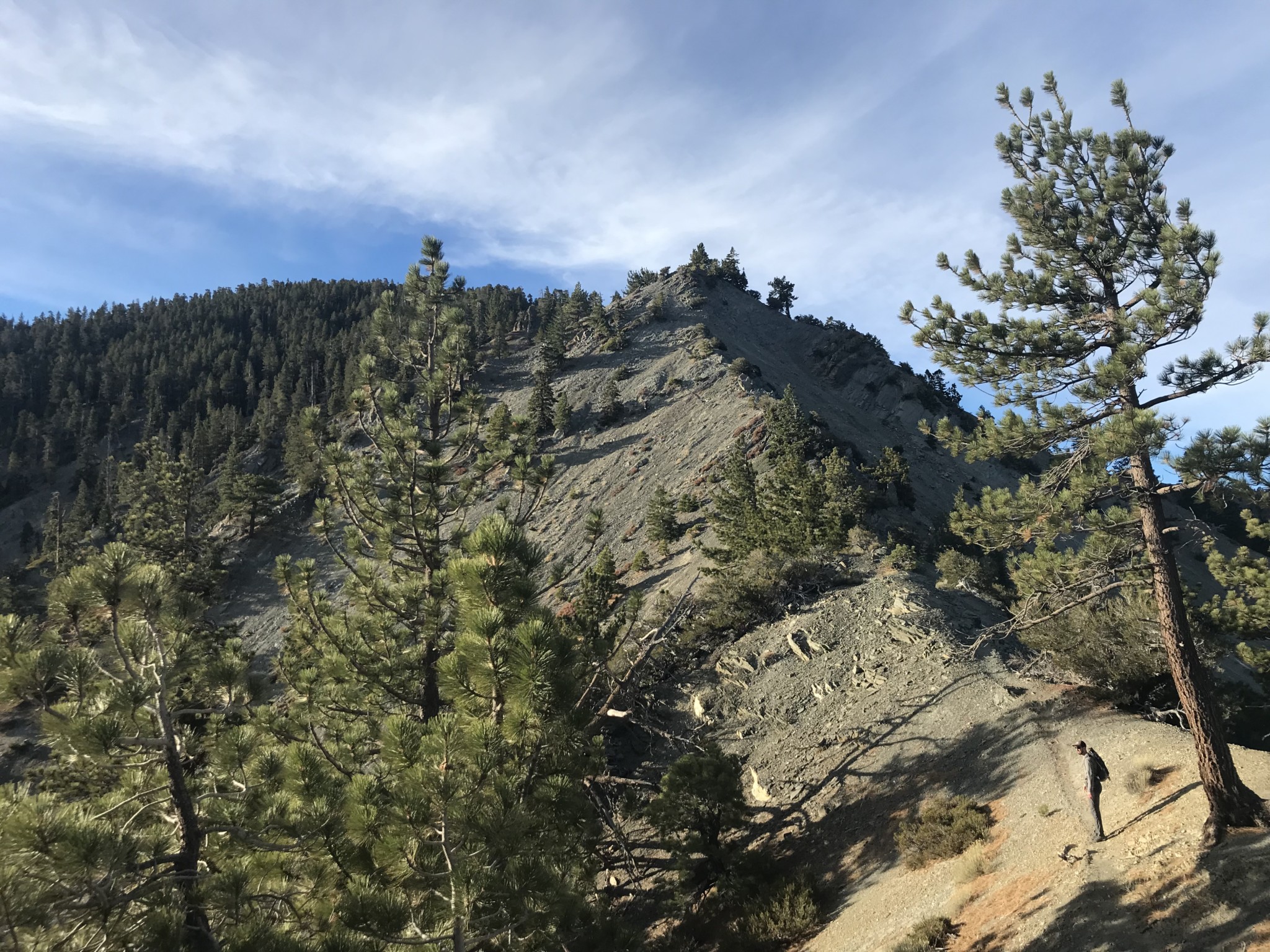
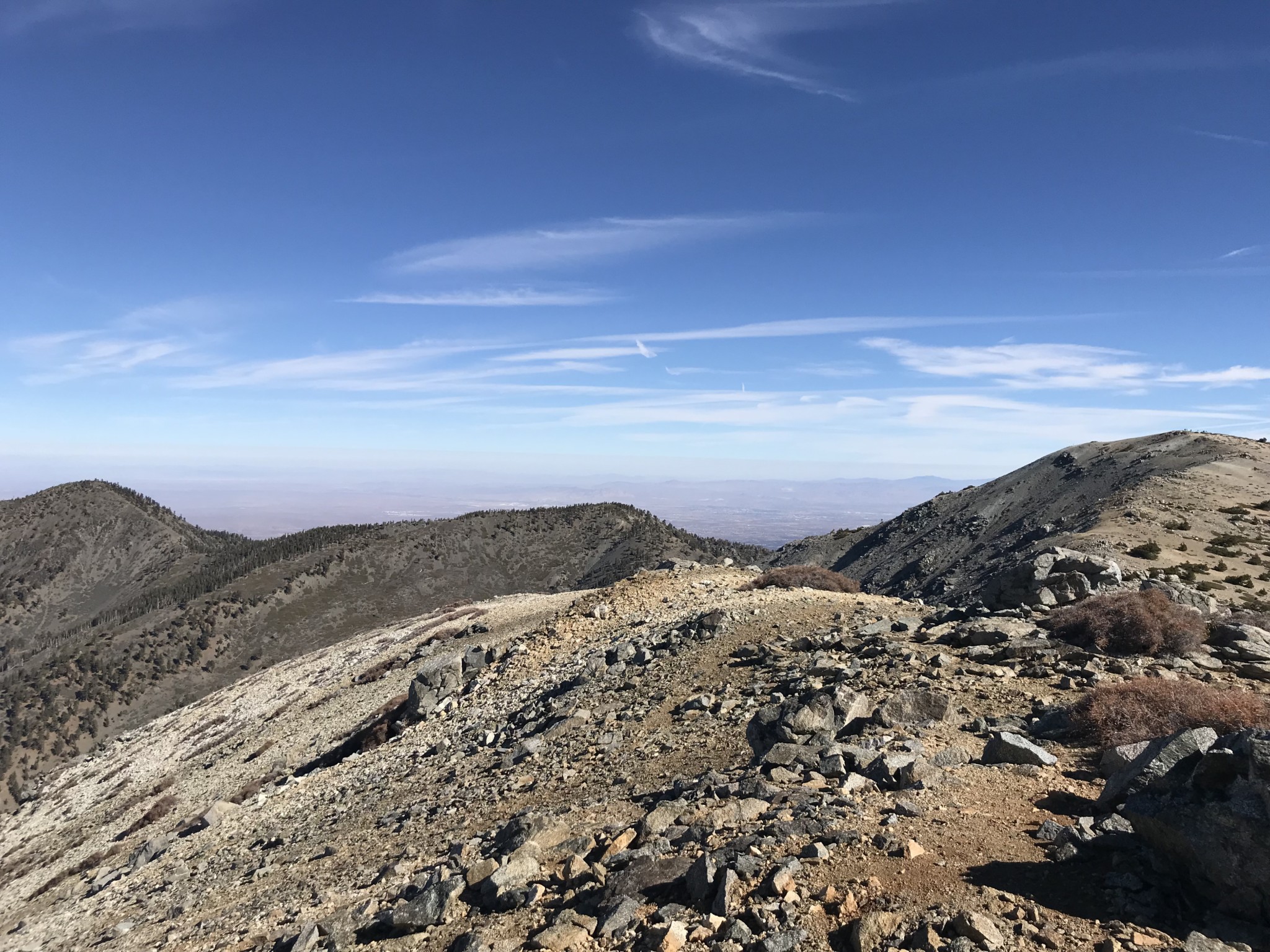
This section relentlessly climbs about 1,000 feet in less than one mile over loose rock and steep cliffsides to reach the top of Pine Mountain. The first half mile of this section is the most precarious due to scree and the potential for slipping. Take your time and exercise caution to ensure good footing.

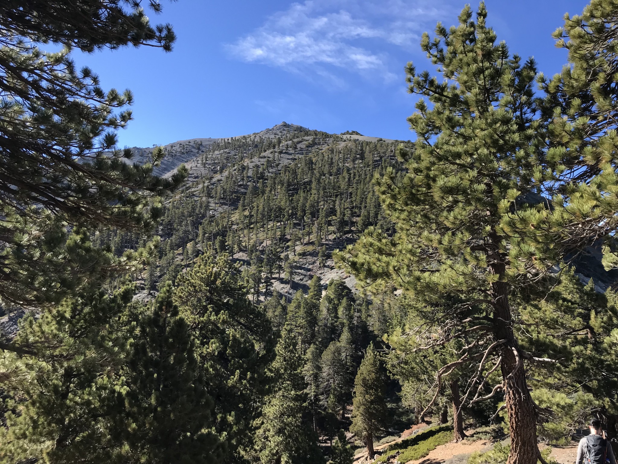
As you climb, you will notice some familiar mountains come into view. For example, to your right is Mt. Baden-Powell.

Mt. Baden-Powell
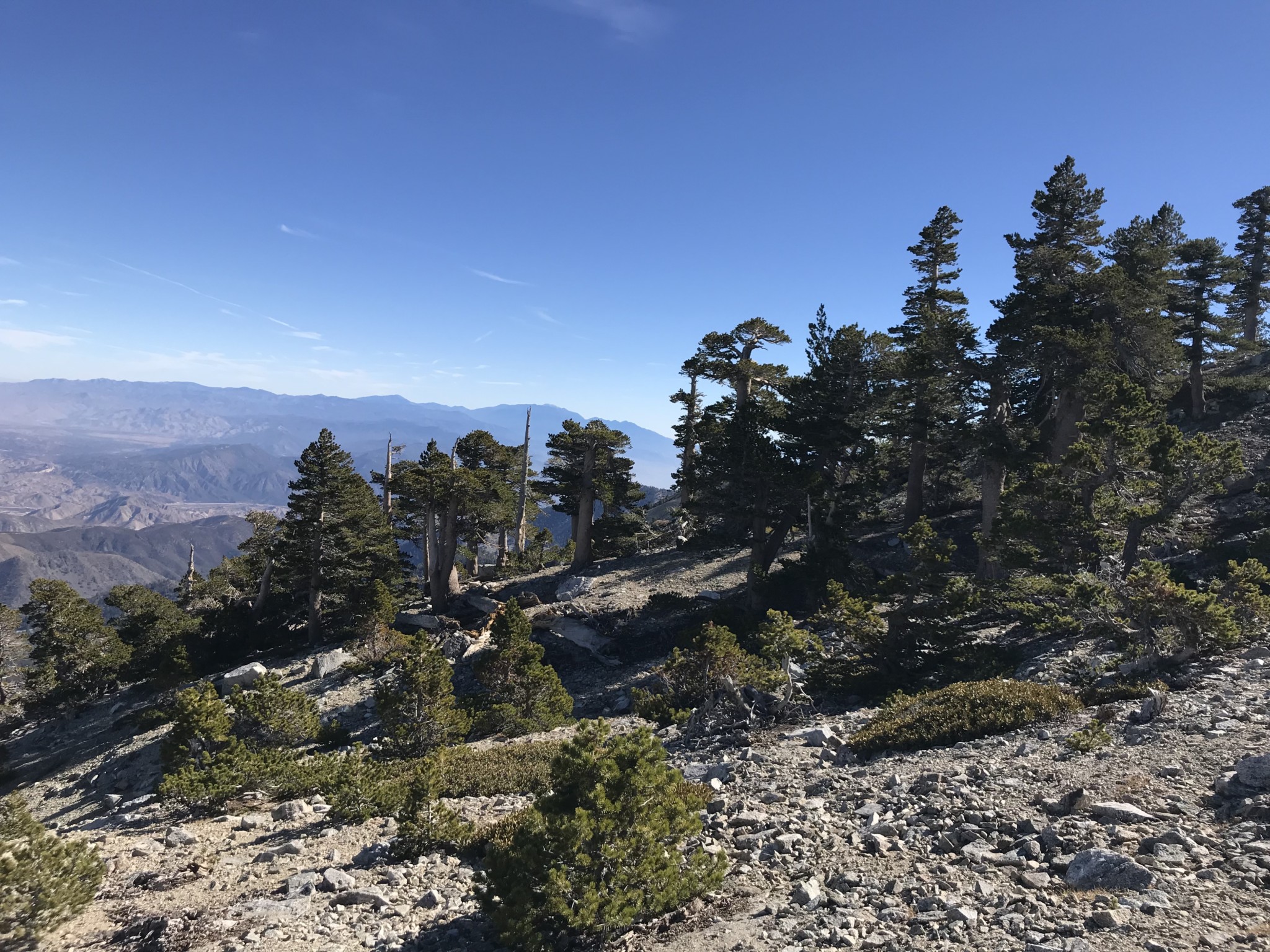
After tackling the rocky hillside, you steadily ascend into a pine forest to reach the summit of the aptly named Pine Mountain, your first peak of the day.
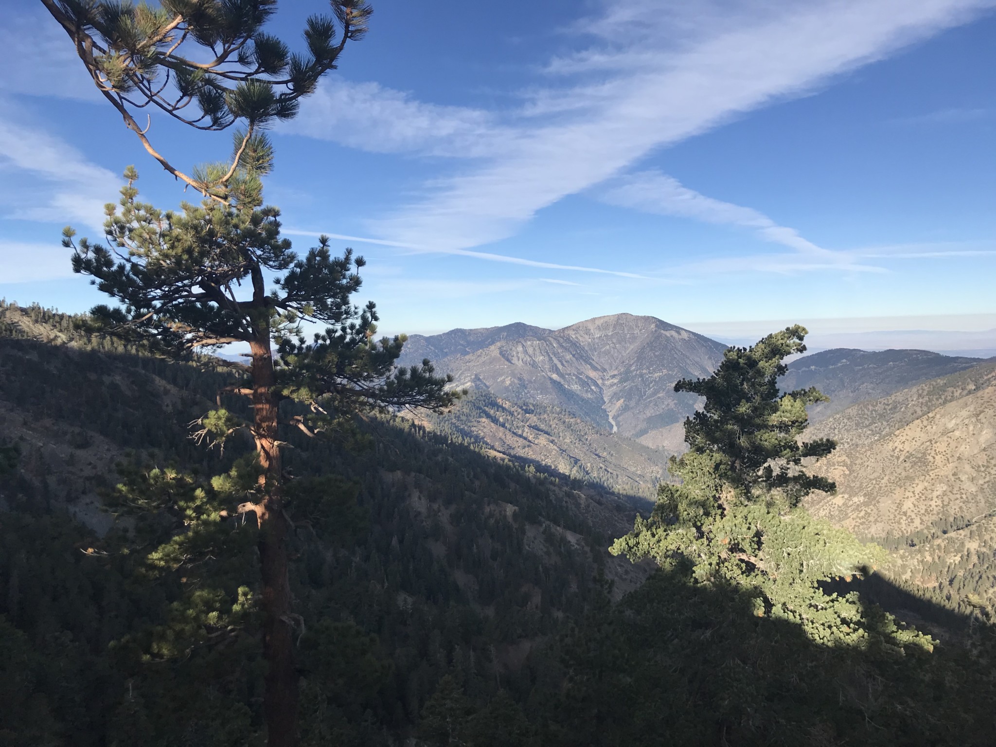
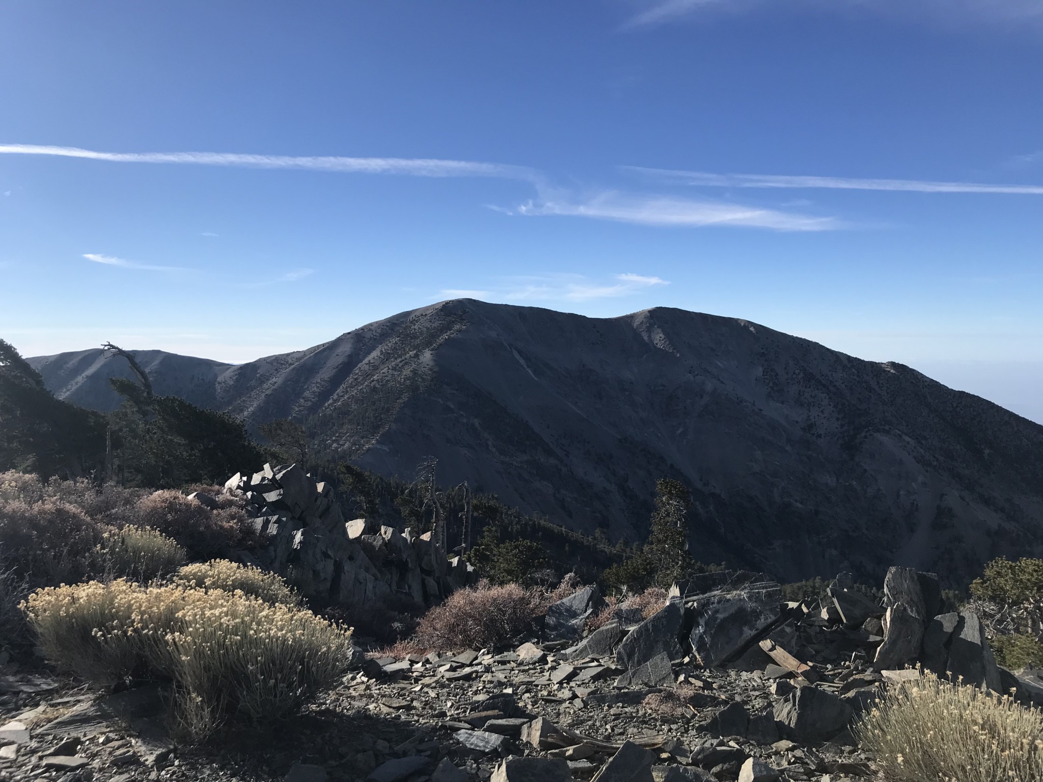
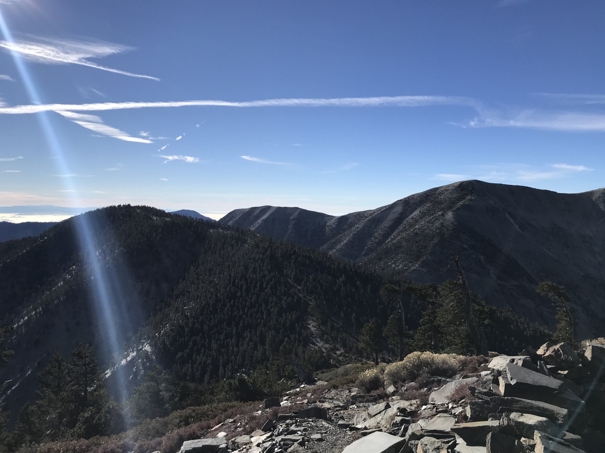
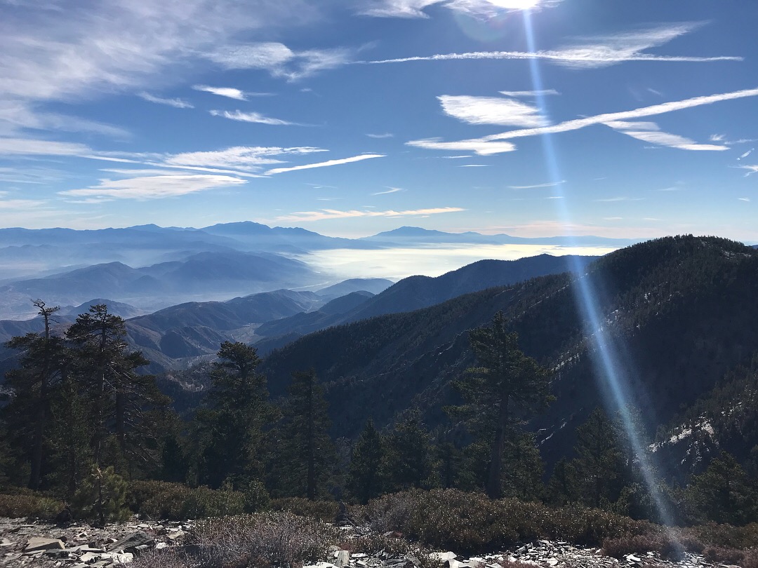
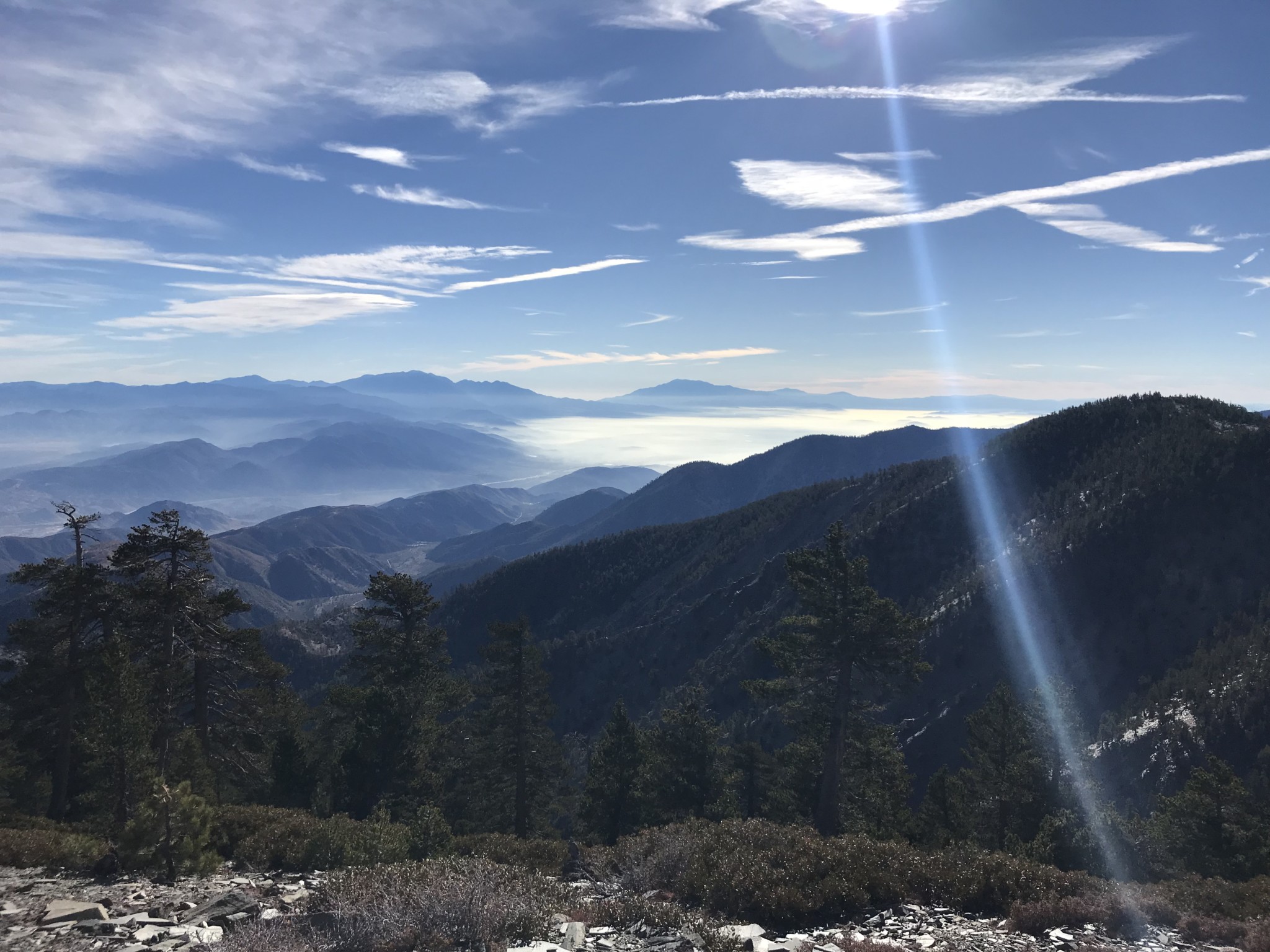
The summit of Pine Mountain, at about 1.5 miles, finally provides a view of Mt. Baldy. Be sure to look south to see San Gorgonio and San Jacinto in the distance.
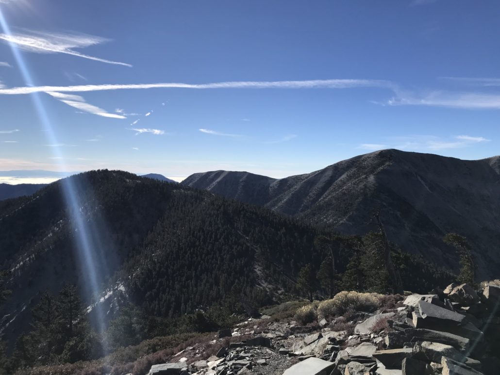
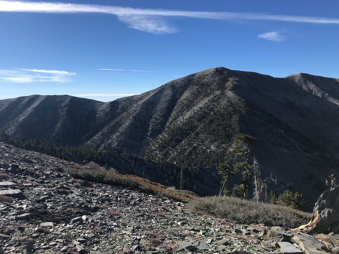
Dawson Peak in the foreground on the left and Mt. Baldy to the right

San Gorgonio and San Jacinto in the distance
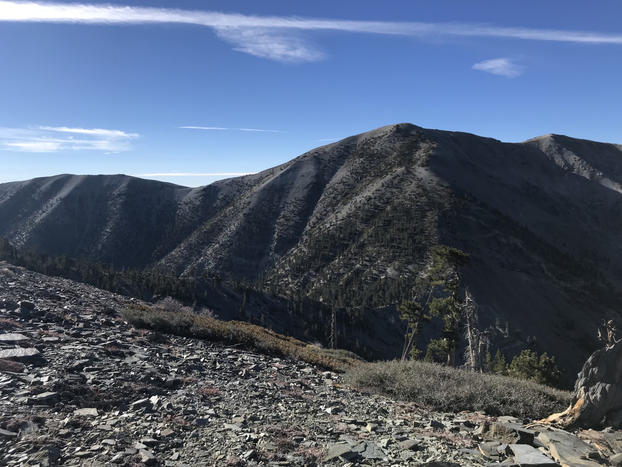
From the top of Pine Mountain, you’ll quickly descend about 500 feet to the saddle between Pine Mountain and Dawson Peak. Luckily, the climb to Dawson Peak is more gradual than the ascent of Pine Mountain.

Descent to the saddle between Pine and Dawson
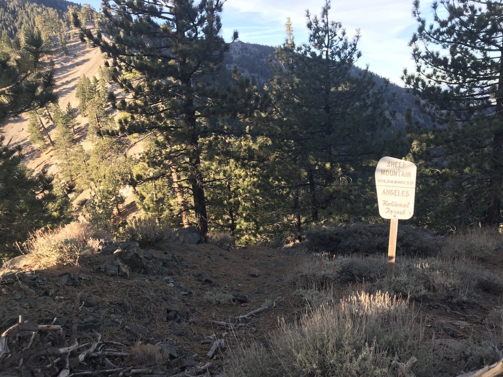
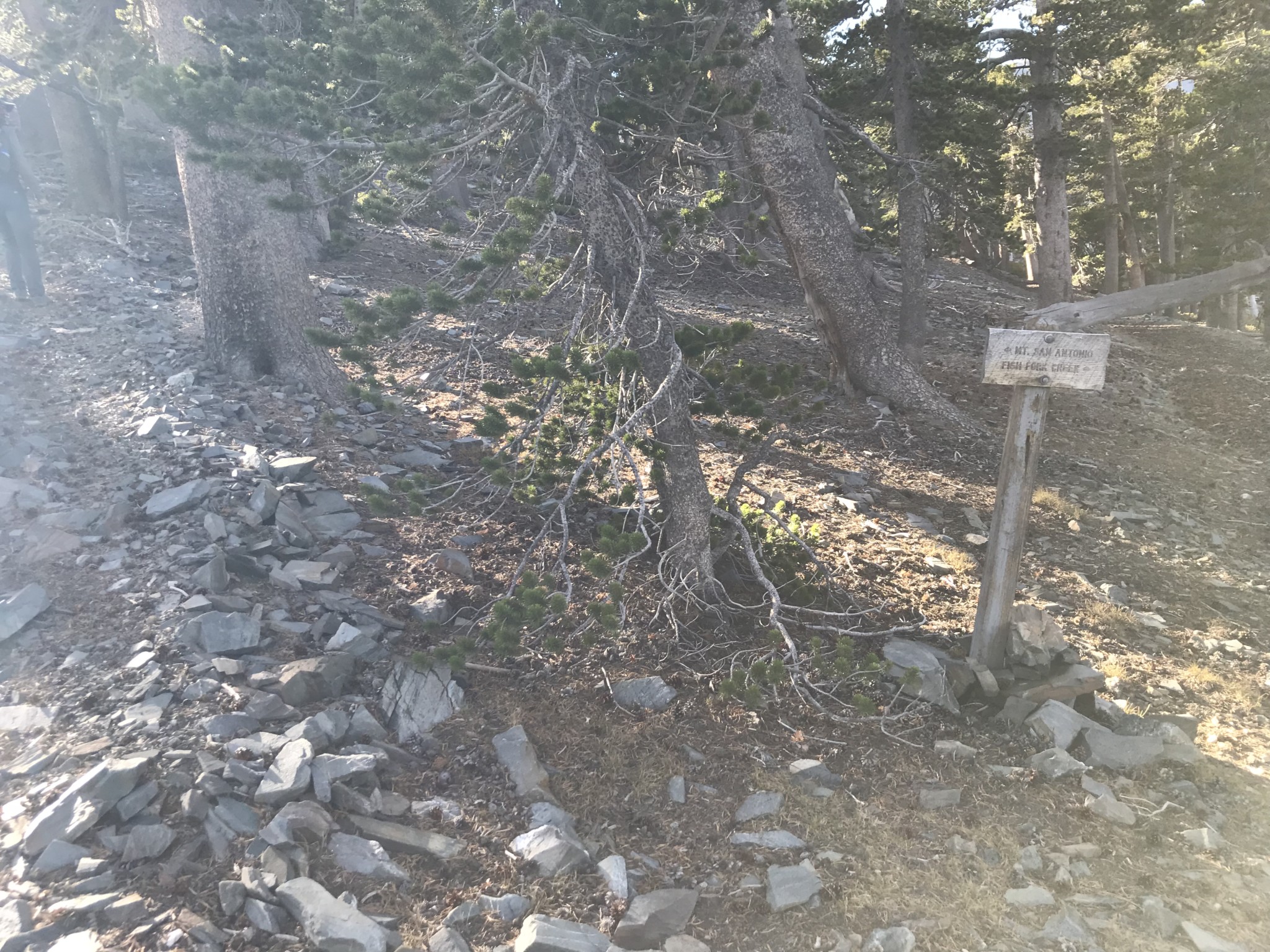
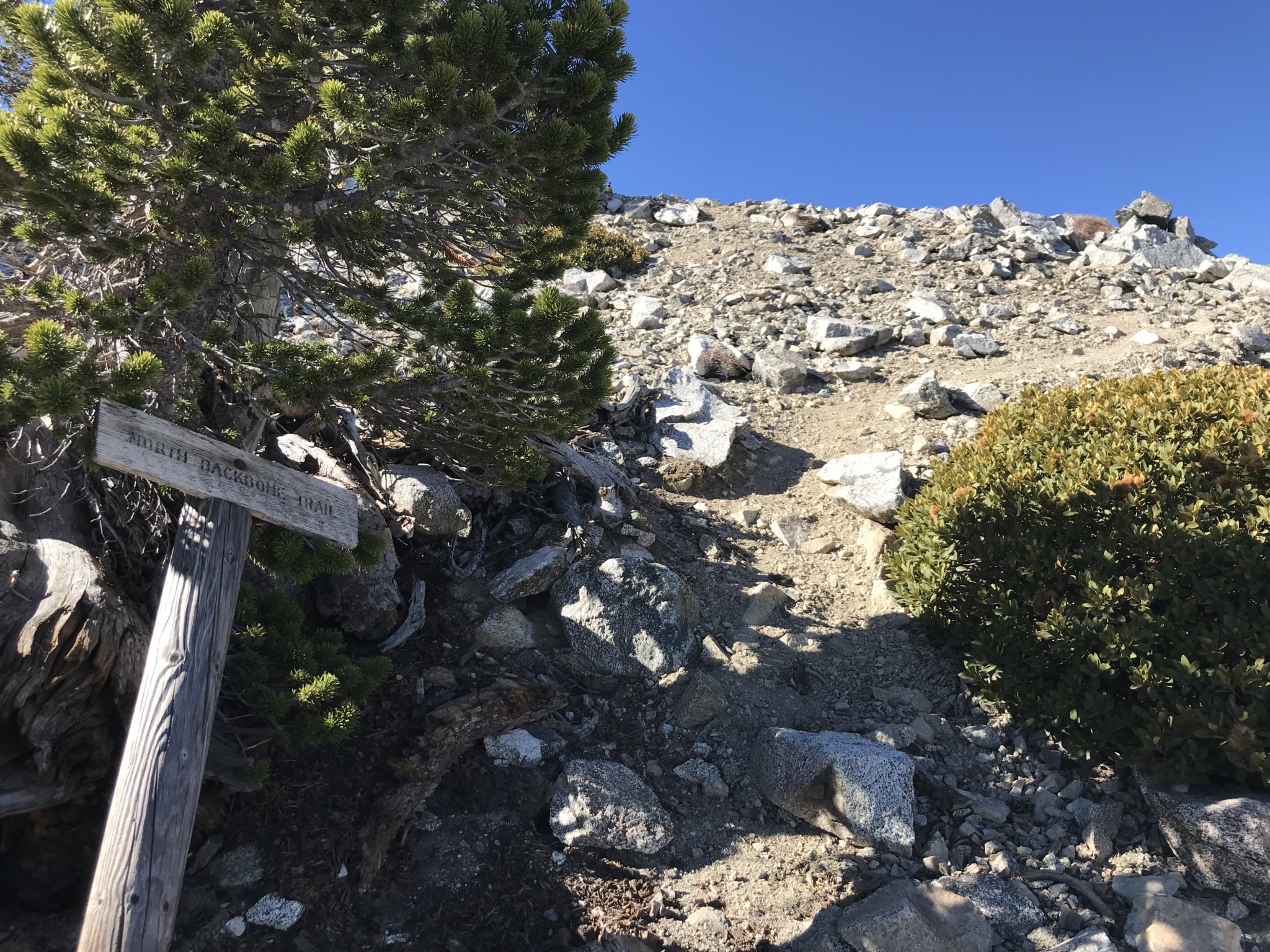
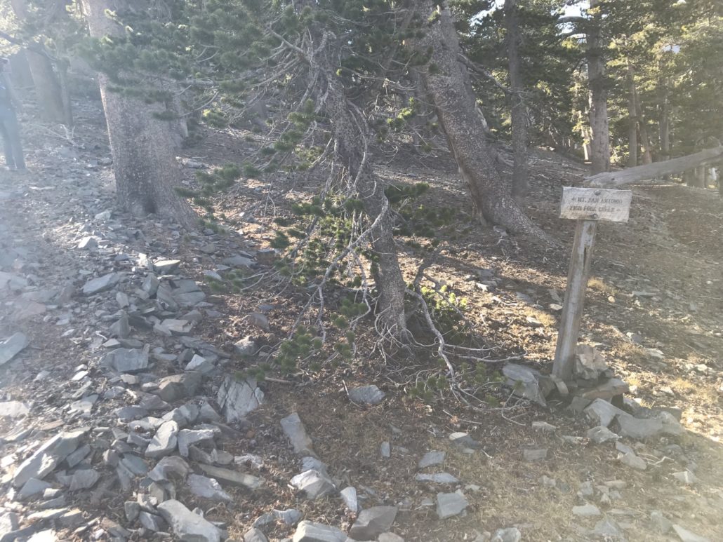
You should see a sign on your right soon after the saddle. Keep left toward Mt. San Antonio (Mt. Baldy’s proper name).
The trail flattens somewhat as you near the summit of Dawson. A use trail branching left from the main trail leads up to the official summit of Dawson Peak. Once you’ve signed the register, head back to the main trail and take in the view of the daunting ascent up Baldy.

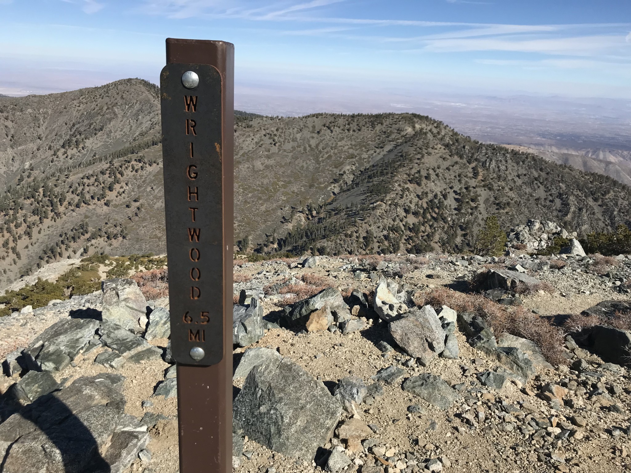
You quickly descend the slope of Dawson to reach the saddle between Dawson Peak and Mt. Baldy, losing over 750 feet of the precious elevation you worked so hard to gain. The final ascent begins around 8,750 feet and will climb over 1,250 feet in about 0.8 miles to the summit Mt. Baldy (10,064 feet).

Trees become more sparse, giving way to the loose, gray rock characteristic of Baldy’s summit.

An advantage of this trail is that you won’t have to fight the crowds that plague the southern slopes of Mt. Baldy. Soon, however, the solitude is interrupted by voices of that crowd, letting you know you’re near the top.
Finally, after a grueling trudge, you’re at the summit!

Time to have a snack, rest, and look back at all you’ve just accomplished. Enjoy a moment of blissful ignorance, before acknowledging you’ll have to do it all over again.

A view of Baldy, Dawson and Pine from West Baldy
Remember to be careful on the downhill sections on your journey back, as the loose rocks are very slippery! Take the last section down from Pine Mountain especially slow, because you will be finishing on tired legs and with a mind set on getting back down.
Tags: Angeles National Forest, california, dawson peak, Mount Baldy, pine mountain, San Gabriel Mountains, sheep mountain wilderness