In just about every account of hiking at Mt. San Jacinto, there is always a mention of John Muir’s quote that the view from San Jacinto is “the most sublime spectacle to be found anywhere on this Earth.” While it’s hard to deny that Muir was engaging in hyperbole with this statement, it is true that Mt. San Jacinto features some striking superlatives that other peaks in the lower half of the state cannot match. Mt. San Jacinto is unrivaled in terms of prominence, which characterizes the distance between a mountain’s summit and the lowest contour line surrounding it. Mt. San Jacinto has a prominence of 8,839’, which places it among the most severe in the world. As anybody who has taken the tram up to Mountain Station can attest, the mountain’s northern slope is spectacularly steep. From its base in San Gorgonio Pass to its summit, San Jacinto rises over 10,000’ in a little under 7 horizontal miles.

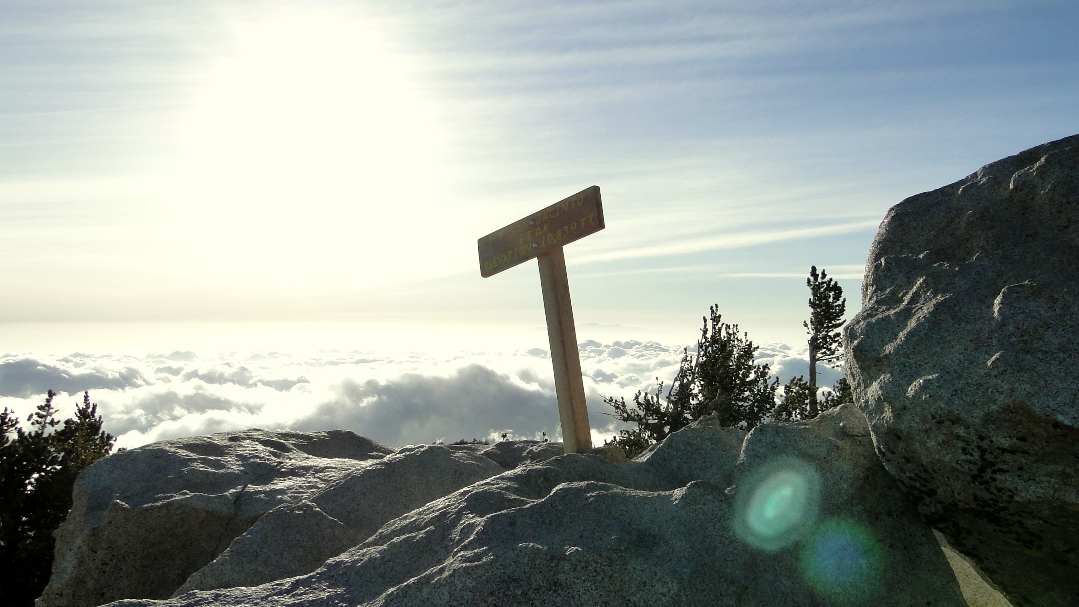
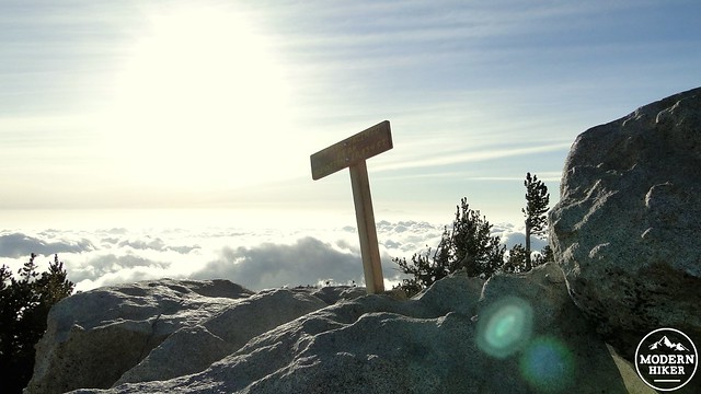
Summit sign
Mt. San Jacinto, and its sister peak, Mt. San Gorgonio, stare at each other across a startlingly deep valley formed by the San Andreas Fault. These two mountain ranges were created when the Pacific Plate, grinding northwest, rammed into a west-east bend in the North American plate. This tectonic collision contributed to the creation of the Transverse Ranges (a rare west-east oriented set of mountains) of Southern California, including the San Bernadino, San Gabriel, Santa Susana, Santa Monica, San Emigdo, and San Rafael Mountain Ranges. The same collision caused the San Jacinto Mountains to “pile up” to a remarkable height relative to the nearby coastal and desert areas. If one calculates the distance from the summit of Mt. San Jacinto to the Salton Sea’s regional-low elevation of 226’ below sea level, you have a difference of 11,060’.
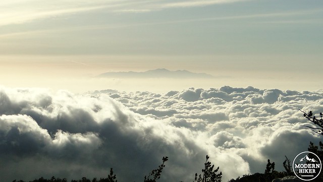
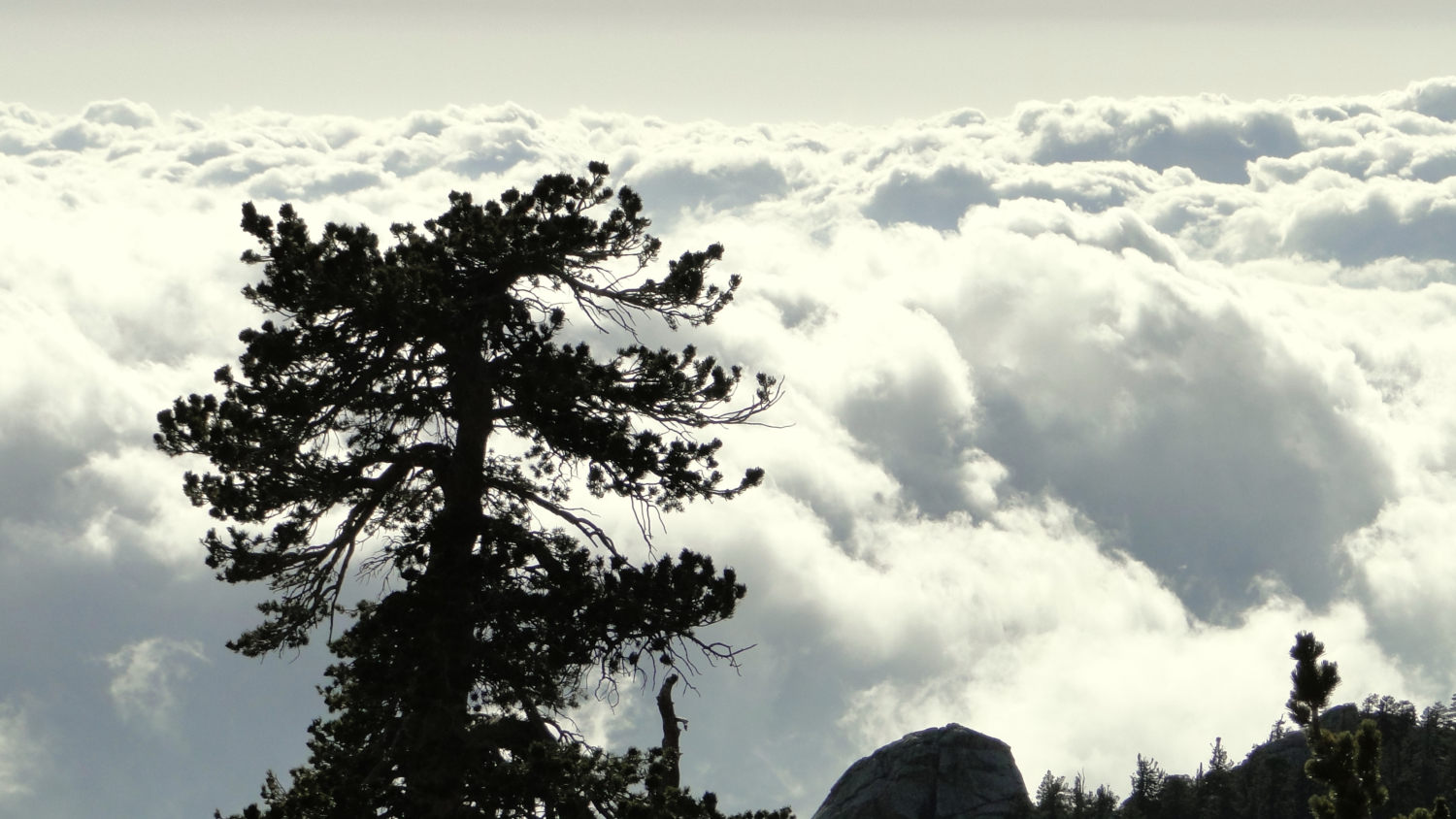
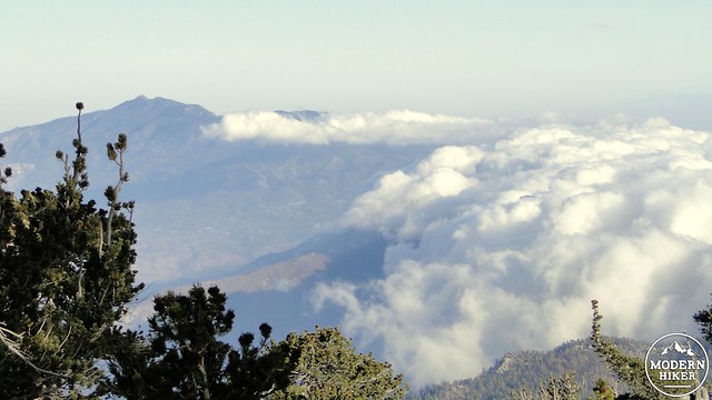
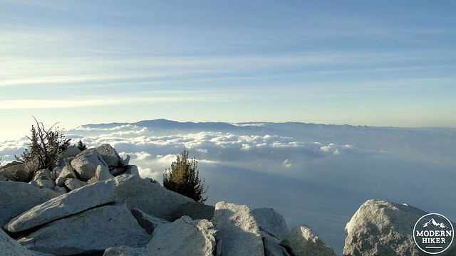
Mt. San Antonio (Baldy) as an island in a sea of clouds
If that’s not enough to support John Muir’s hyperbole, one can also consider that San Jacinto features a subalpine wilderness in view of the Pacific Ocean. Or, there’s the fact that the views can reach southern Utah on a clear day. Or perhaps, there’s the fact that every major mountain range in Southern California is visible within a 150 mile radius when the skies are clear. At any rate, the views here are Good, with a capital “G.” Whether Muir is right or not, Mt. San Jacinto is, debatably, the premier hiking spot in all of Southern California.
The Pacific Crest Trail
This write-up describes a strenuous and comprehensive loop that is best taken as an overnight backpacking trip. However, as there are five separate ways aside from the tram to reach the summit, and all of them join the loop described here, I will also provide starting coordinates for alternative trailheads more suitable for dayhiking and brief descriptions at the end of this article to allow different options that will allow you to enjoy portions of the loop at the heart of both the State Park and this write-up.
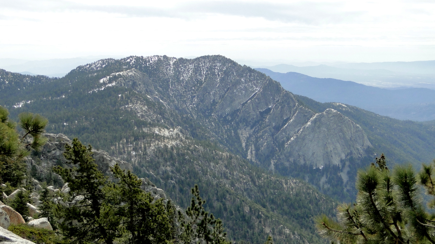
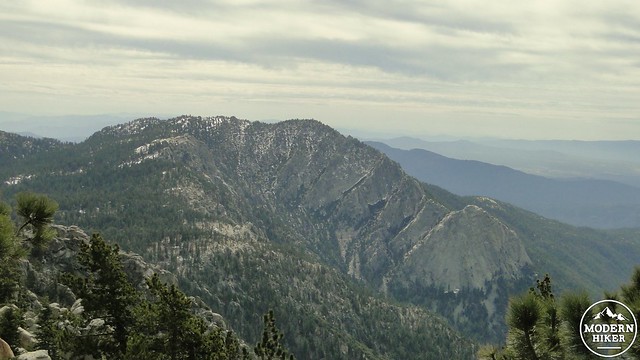
Mt. San Gorgonio from the Deer Springs Trail
Permits are required to enter both the State Park and National Forest sections of Mt. San Jacinto Wilderness. Both agencies work cooperatively, and a day hiking permit for one is good for the other. However, backcountry permits are different, as the State Park places more restrictions on its campsites, which are established instead of the more liberal “camp where it’s flat, but away from the water” policies of the National Forest. The State Park has developed campgrounds at Strawberry Junction, Little Round Valley, Round Valley, and Tamarack Valley, and each campground has established sites with quaint names such as “Owl’s Hooch” and “Junco Flats.” To camp at the State Park campgrounds, one can either secure a walk-up permit at the Long Valley Ranger Station near Mountain Station or at the State Park headquarters in Idyllwild.
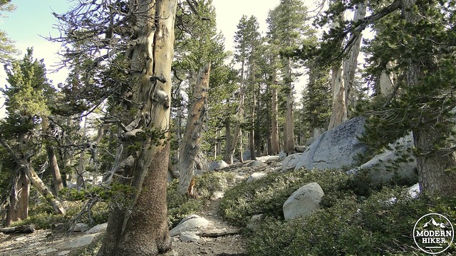
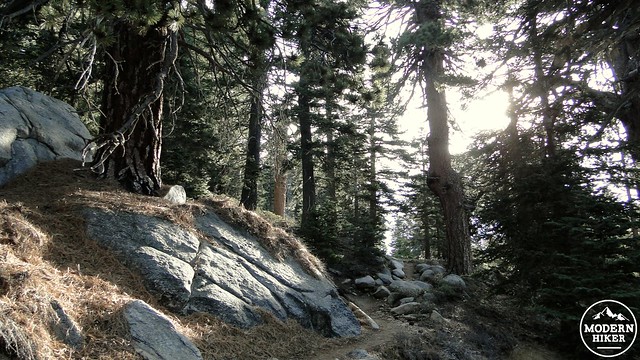
Lodgepole forest near Little Round Valley
For a weekend excursion, I recommend securing your permit in advance via fax or mail. The State Park charges $5, per person, per night, to camp in one of the campgrounds. Furthermore, the permits are only accepted up to 56 days (eight weeks) in advance of your trip, so you will need to time your permit submission carefully. Additionally, you should know to send a Self-Addressed Stamped Envelope (SASE) to the State Park. They won’t send your permit otherwise, and they probably won’t call you to let you know that it’s sitting there waiting for you. Once you secure your permit, you are ready to go.
Mountain Station
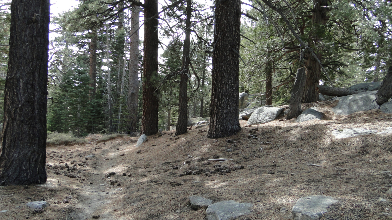
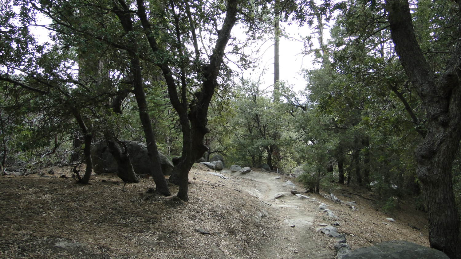
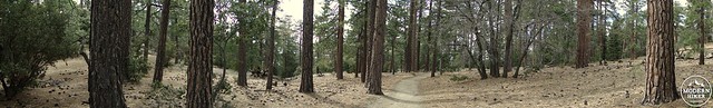
This track begins and ends at the Deer Springs Trailhead just west of Idyllwild on Highway 243. Deer Springs starts in the most varied part of the San Jacinto Forest, which features black oaks, tree-sized manzanitas, canyon live oaks, incense cedars, sugar, Jeffrey, and ponderosa pines, and white firs. The trail starts up the fairly exposed slope of the western ridge forming the large “bowl” within which sits the town of Idyllwild. Given the presence of a number of black oaks, the Deer Springs Trail, at least to nearby Suicide Rock, would be an excellent Fall color hike in season.
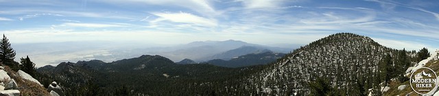
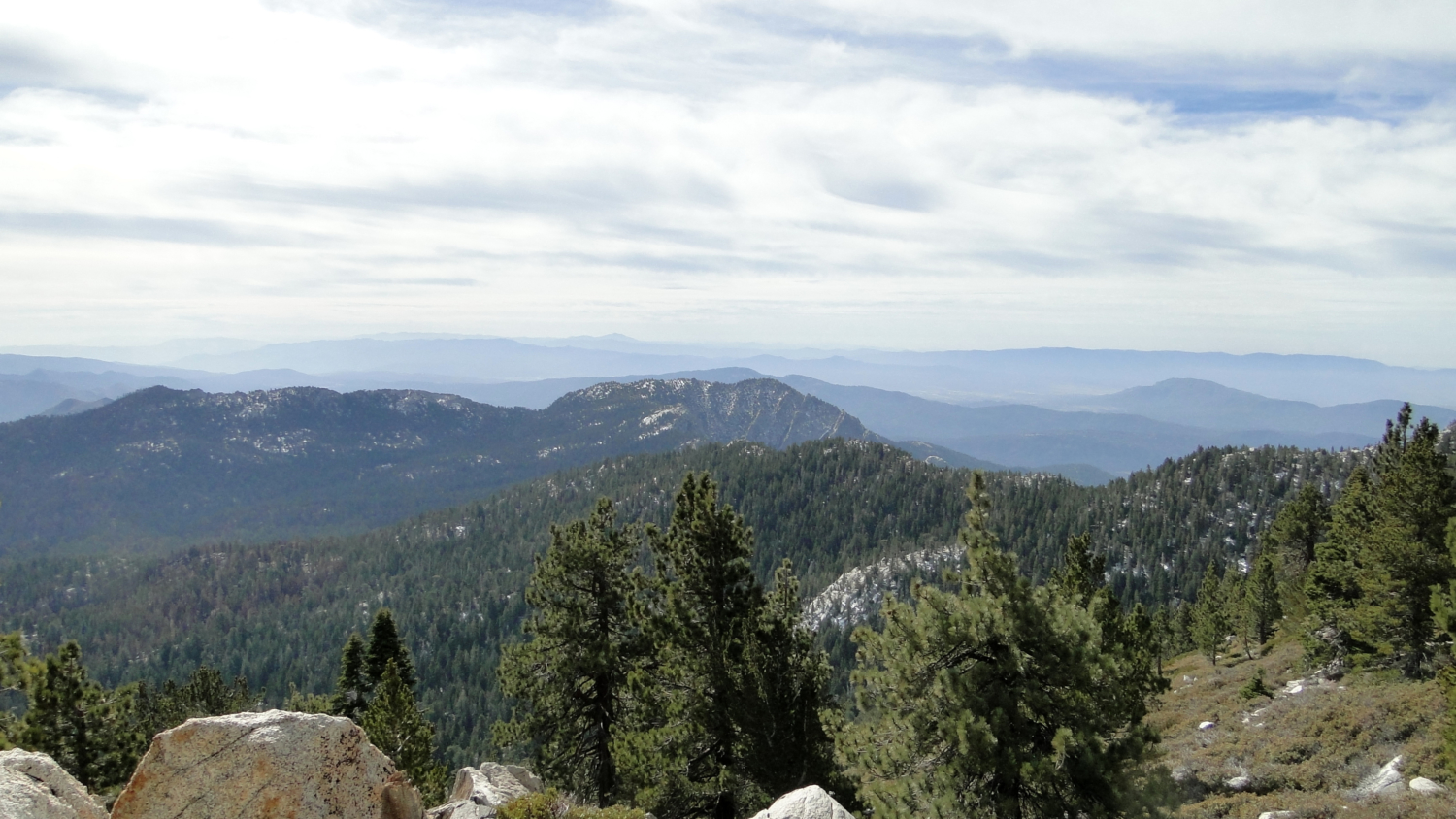
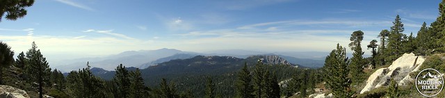
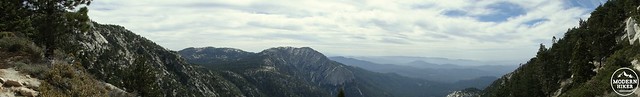
Panorama facing south from the summit
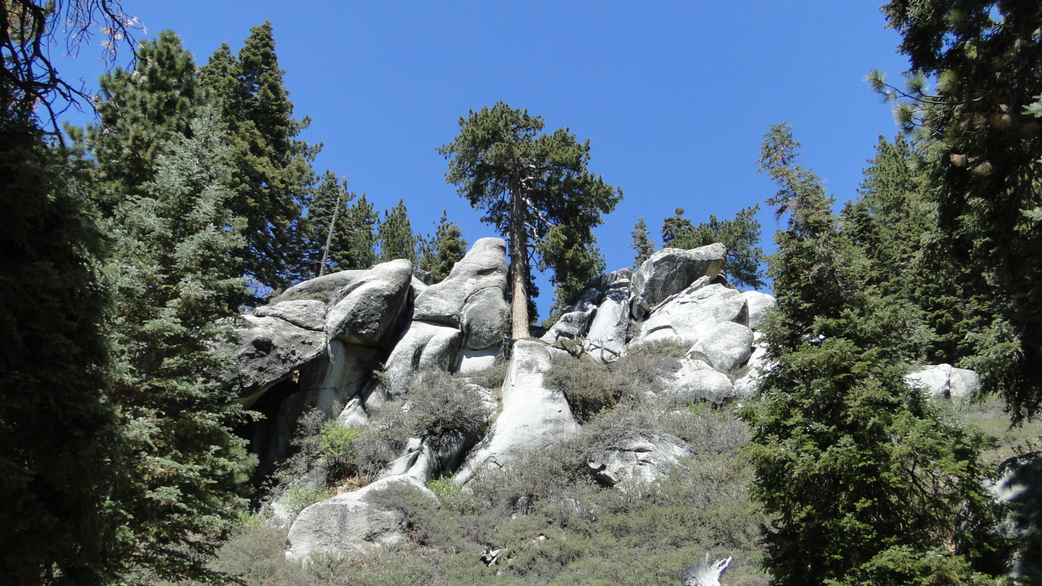
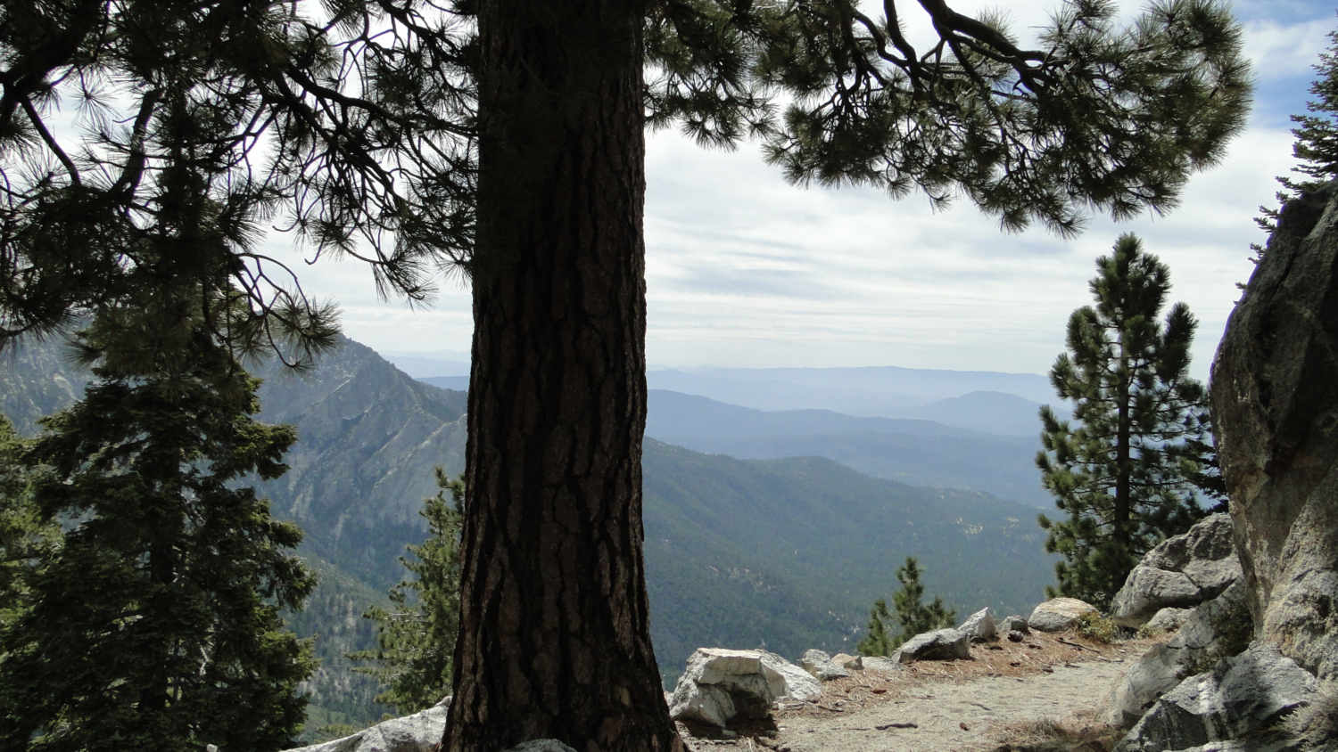
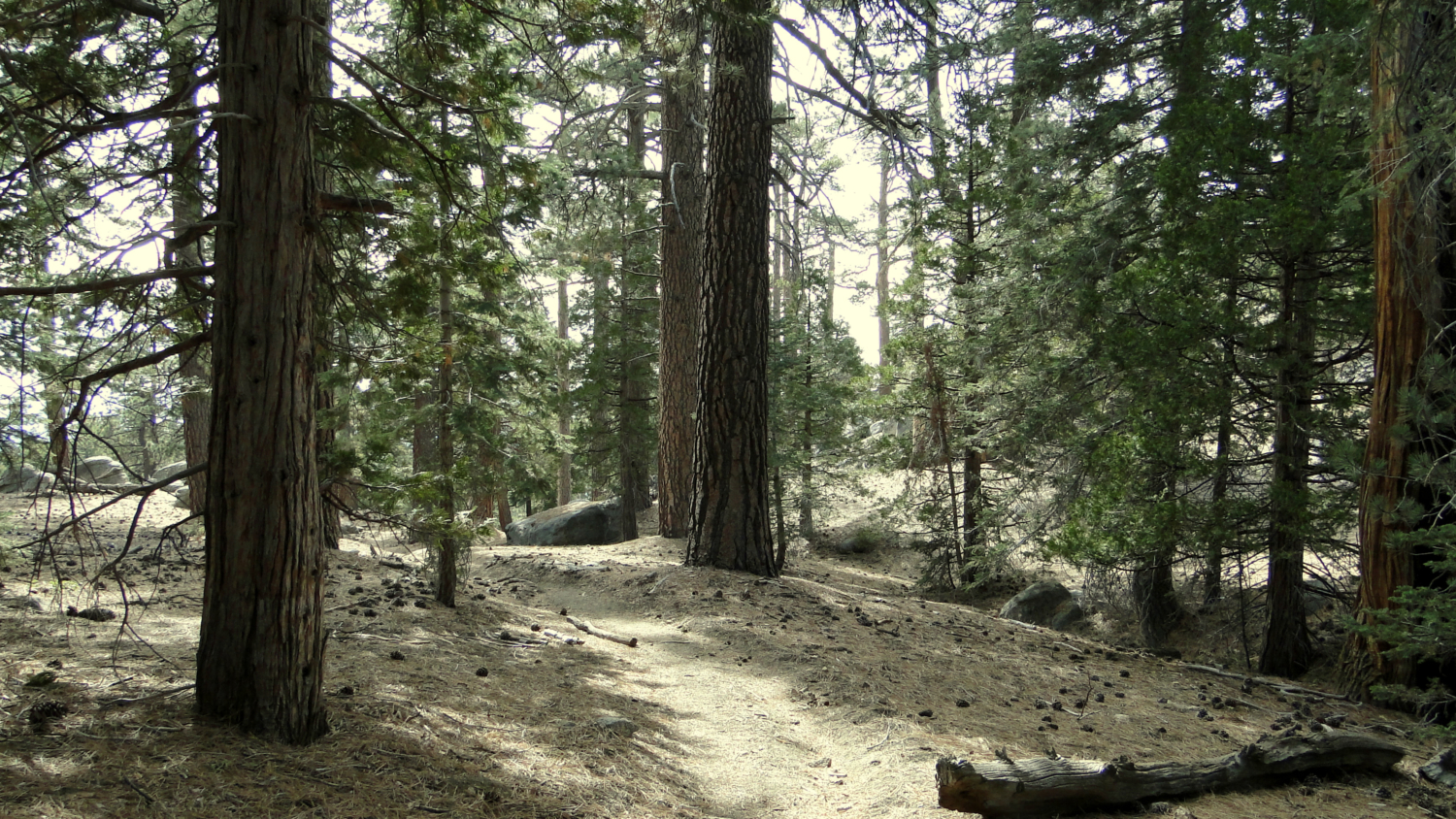
From the trailhead, the trail climbs in a meandering fashion up the slope as the forest undergoes a number of pleasant transitions. In some patches, vanilla-scented Jeffrey pines dominate and provide welcome shade. In other sections, numerous granitic boulders emerge and provide scenes reminiscent of the Sierra Nevadas. At still others, views will open up eastward toward Tahquitz and the Desert Divide with the town of Idyllwild below. As pleasant as the Deer Springs Trail can be, its basic function here is to connect to the main loop formed by the PCT, Wellmans Divide Trail, and the portion of the Deer Springs Trail connecting to the summit. This loop features the highlights of the San Jacinto high country, as well as the campsites, water, and the best views.
Jeffrey pines on the Deer Springs Trail
At 4.3 miles, the Deer Springs Trail junctions with the Pacific Crest Trail (PCT) at Strawberry Junction, which features a small and dry camp with good views to the south. This trail camp is commonly frequented by PCT through-hikers from late April to the end of May, but its lack of water makes it less than ideal unless you don’t have the desire to continue on the next 4.8 miles of hard climbing to the summit.
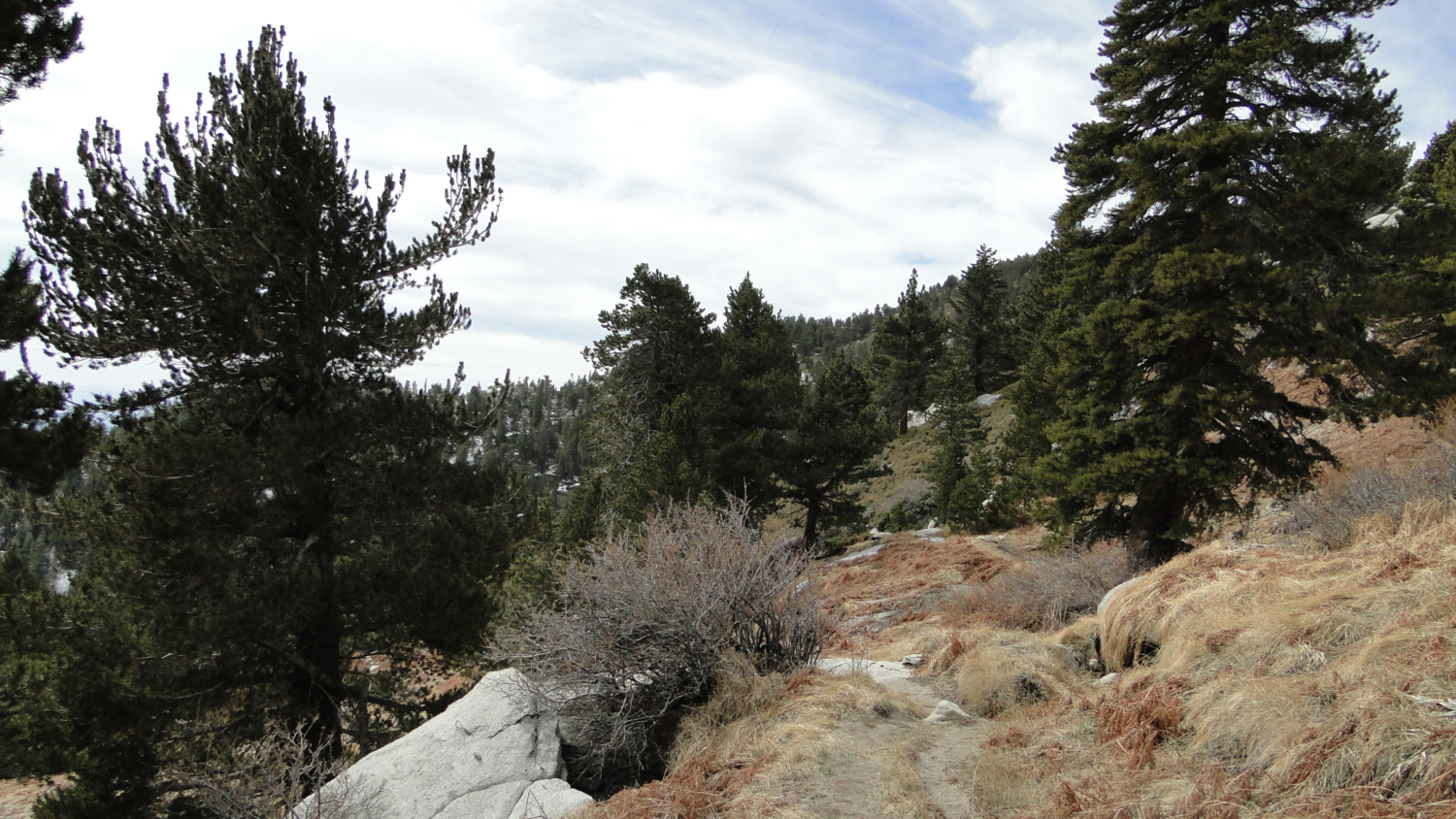
Near Strawberry Junction
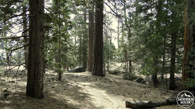
After joining the PCT, the trail passes around the cooler, shadier west face of the mountain. As it receives less sun exposure, snow tends to accumulate deeper and linger longer on this side This means the west side of the mountain tends to supports a denser forest with taller trees. Many of the mountain’s streams are present on this side as well, which means you will encounter at least one, but possibly two reliable water sources on the way to the summit. In the meantime, enjoy the dense forest of Jeffrey pine and white fir as it gradually begins to include lodgepole pines that will stay with you to the summit, where they will attain fantastic, contorted shapes.
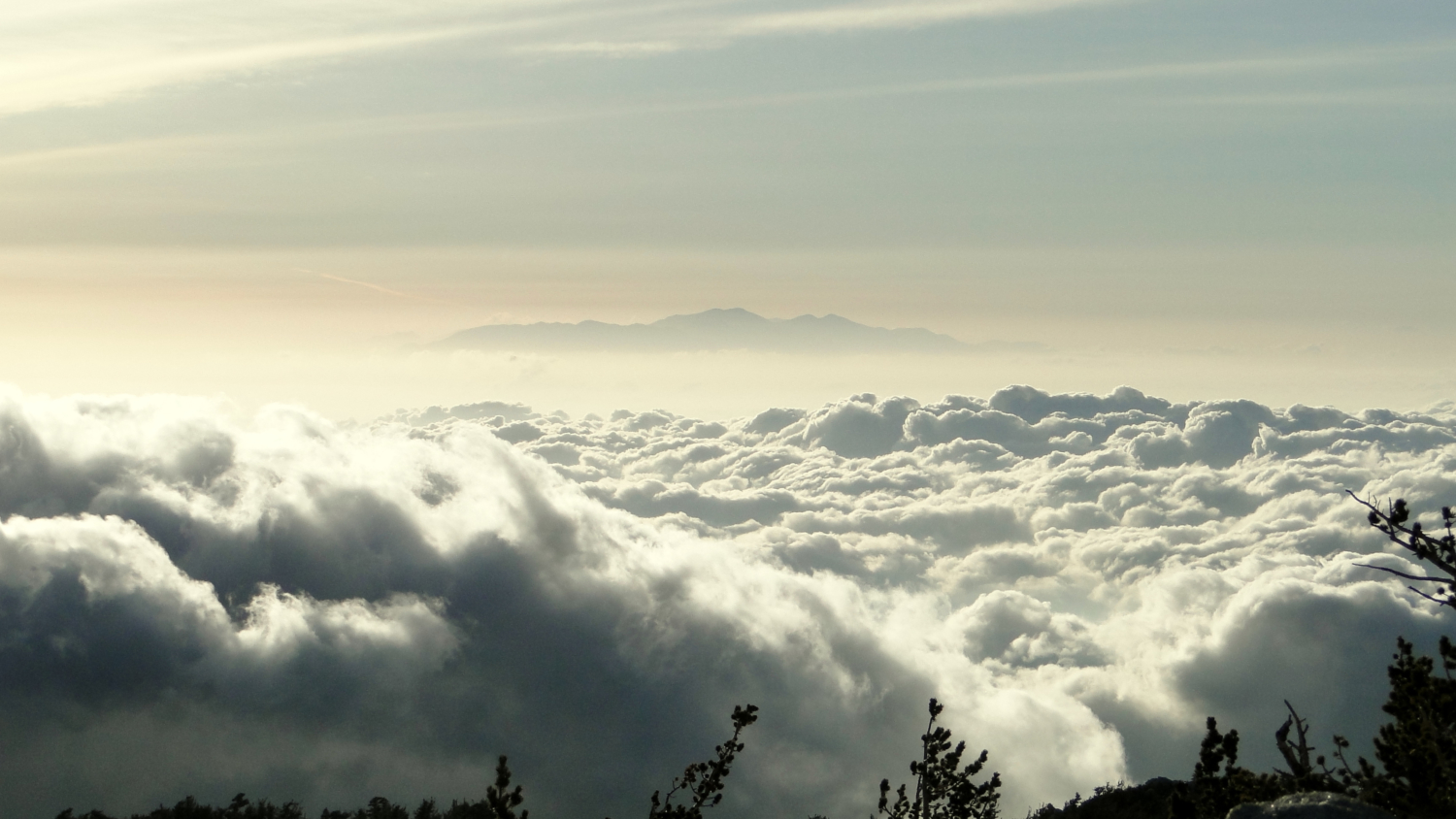
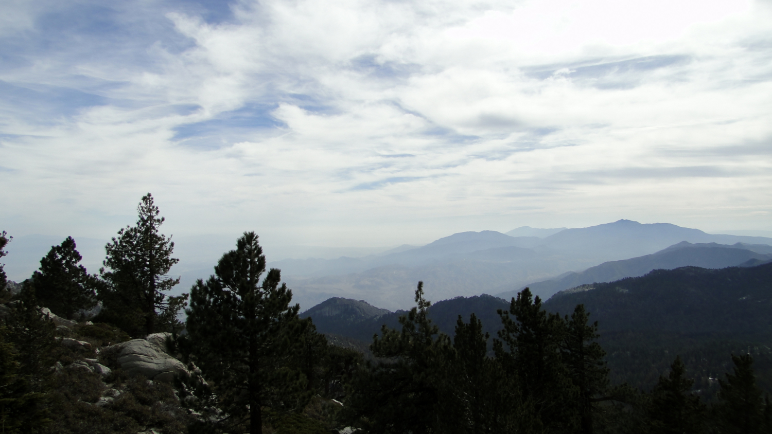
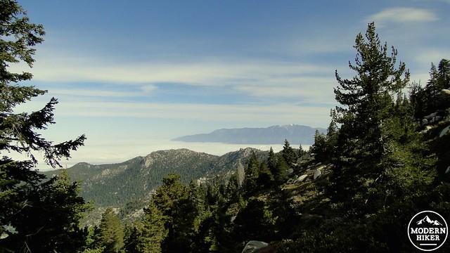
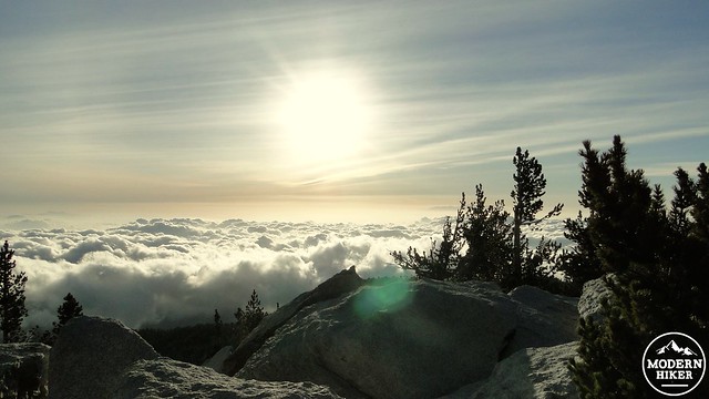
Desert Divide lost in the marine layer
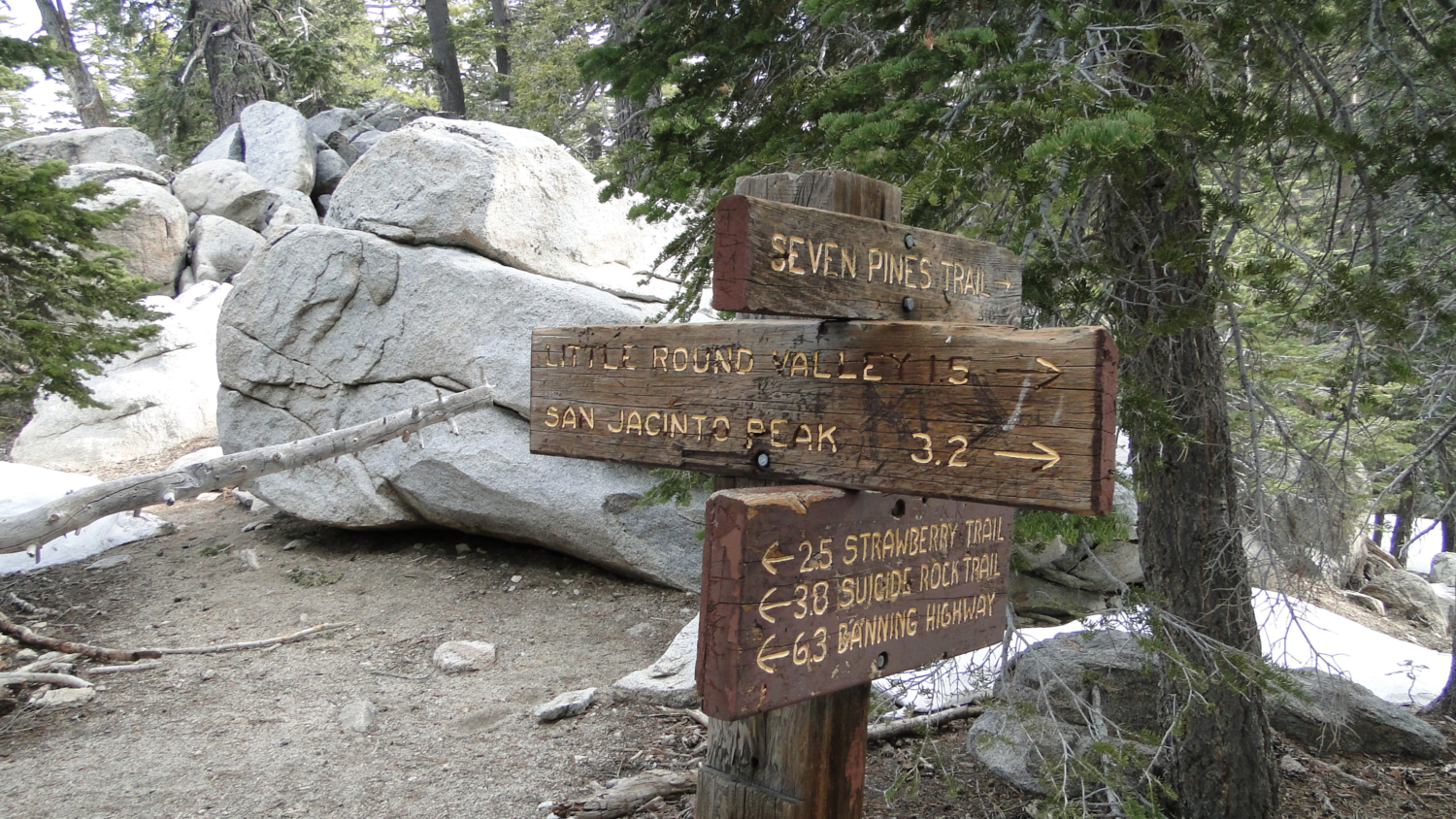
The trail comes to and crosses a spring-fed stream that is flowing only modestly after a very dry winter, but would flow more robustly during average or above-average precipitation years. Not long after this stream comes a junction of three distinct trails. The first of the two, the Marion Mountain and the Seven Pines Trails, climb the mountain’s west slope from campgrounds a short drive off of Highway 243. These camps are located a good 2,000-2,500’ feet below this point, making both the Marion Mountain and Seven Pines Trail steep and difficult. Difficult though they both are, either trailhead presents a good opportunity for people looking to climb San Jacinto from an alternative to the tram but without hiking 20+ miles.
Sunset from above Little Round Valley
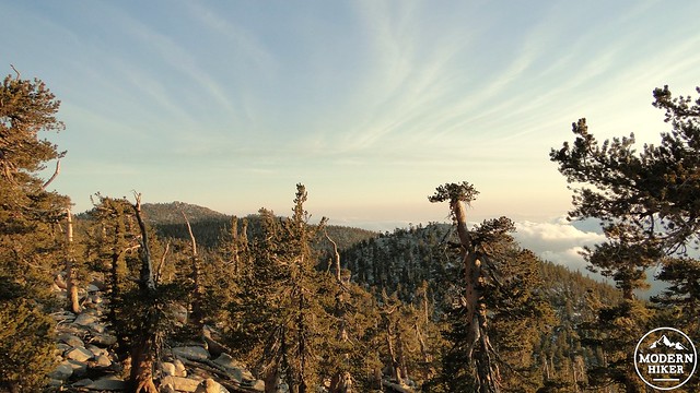
After passing this junction and possibly falling into conversation with PCT hikers or other hikers catching their breath from Marion and Seven Pines, you will come to another junction where the PCT diverts off to the left for its knee-murdering descent of Fuller Ridge. Keeping to the right will maintain the correct course to the summit. After this junction, the trail winds up through a sunny patch of buckthorn and chinquapin that opens up a marvelous view toward Mt. San Gorgonio with the rest of coastal Southern California either laid out below your feet or shrouded in marine layer.
Mt. San Gorgonio from the summit
After this point, the last remaining white firs and Jeffrey pines give way to a thick forest comprised mainly of lodgepole with a few limber pines emerging at the higher elevations. The trail climbs ever upward before coming to another spring-fed creek around 9,440’, which is your most reliable and robust source of water before coming to Little Round Valley. After tanking up, it’s a relatively brief .5 mile up to Little Round Valley, where six campsites are scattered within the now bouldery and dense forest. At times, there is a creek running through Little Round Valley, although it is bone dry in dryer years or later in the Summer and should not be counted on. Once you select a campsite (they are all pretty good), you can prepare to hunker down for the night, or you can set up camp and prepare yourself for the 1.6 mile, 1,000’ foot assault on the summit.
The summit
The climb up to the summit can be dangerously deceptive if there is a lot of snow as the trail can vanish under snow pack. My first experience on San Jacinto fell prey to this trap as I lost the trail and scrambled up a hill, only to find that I had climbed nearby Jean Peak, which is a half a mile away from San Jacinto’s summit. However, a snow-free trail is easy enough to follow, although rocky footing will require some concentration.
Looking west from the summit
After what seems like an incongruently long climb compared to its distance between summit and Little Round Valley, the trail begins to flatten out at a saddle, where it junctions with a trail to the summit and the trail down to Wellmans Divide. Choosing the summit trail off to the left, you will climb up a slope on which separate use trails appear to diverge and re-emerge. This may cause a bit of confusion. However, if you keep going uphill on anything resembling an established trail, you will eventually come to Mt. San Jacinto’s emergency hut, which was built in the 1930’s and remains sparsely maintained by the State Park both for emergency use and for its historical importance. Not only is the hut a hard-to-miss landmark indicating proximity to the summit, it is also a nice place to stop and catch your breath. As a sign warns on the outside, the cabin is colder than a decent tent would be. Tempting as it is, it is not great for camping.
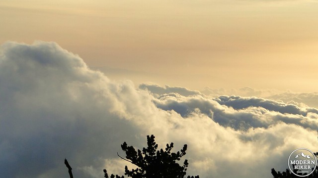
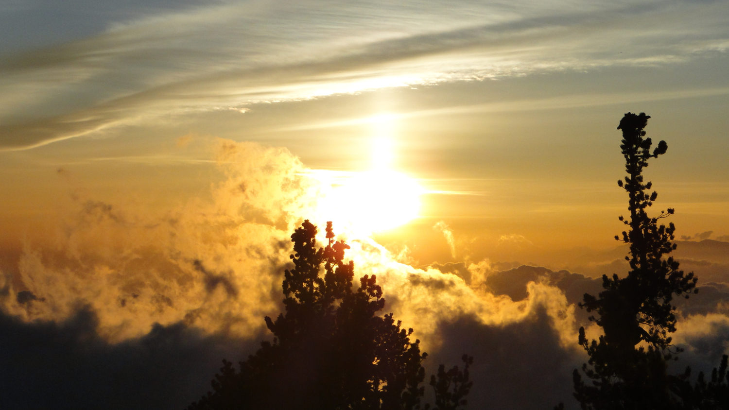
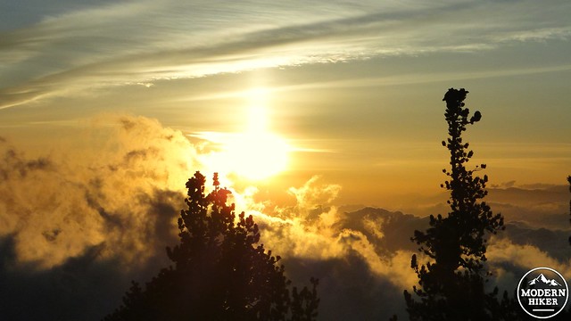
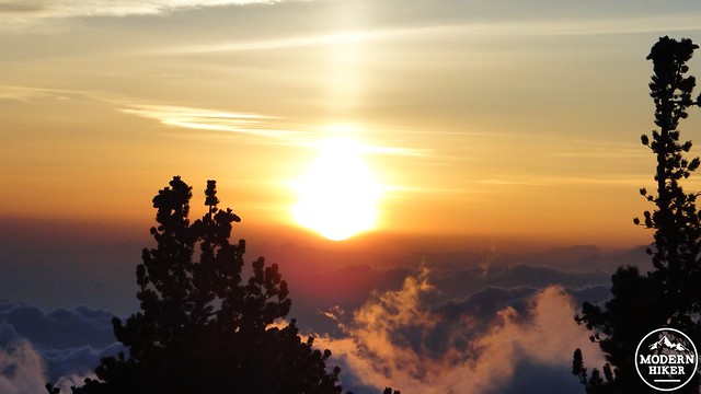
Late evening clouds
From the hut, make your way along a use trail until it vanishes at a large pile of rocks. This is the base of the summit, and from here you will have to pick your way carefully over the rocks to make it to the top. Soon, you’ll see the sign indicating the presence of the summit, as well as the actual summit itself atop a granite boulder. From here, the views are superlative, and, when clear, they include nearly all of Southern California from the coast to the desert. If it’s clear enough, the views are said to reach as far off as Utah and Arizona, although you’d likely have to climb the peak on a full-blown Santa Ana day to experience this kind of clarity. Even so, the shocking view down to the quilt of golf courses and housing developments in the Coachella Valley, coupled with the Desert Divide snaking its way south and San Gorgonio looming across the chasm of Gorgonio Pass make for a breath-taking view in both the figurative and literal senses.
Above Little Round Valley
After you’ve taken your fill of these preposterous views, you will carefully pick your way back down the boulders, onto the use trail, past the hut, and down to the junction with the Wellmans Divide Trail. Turning left, you will begin a long, leisurely descent down the mountain’s eastern shoulder that will lead you to Wellmans Divide. Down below, you’ll see the meadow at Round Valley, which looks tiny from this height, as well as the Tram Station. The views over the Coachella Valley and Desert Divide stay with you for a long time, and the relatively gentle descent makes this an enjoyable stretch of trail. The trail will bottom out at a sheltered grove of lodgepole pines that holds snow late in season before coming around a bend to reach Wellmans Divide.
Wellmans Divide Panorama
Wellmans Divide is another major junction on the mountain that opens up a number of options. From here, a trail will take you to the Tram Station as well as all the way down to Palm Springs on the Cactus-to-Clouds Trail. Wellmans Divide is also a great place to stop and take a break while enjoying views that opens up to the south, encompassing Tahquitz Valley and Peak. If you look at the forest in this gently sloping valley, you’re likely to see some burnt conifer crowns among the otherwise uniformly green forest. These burnt trees are visible evidence of last year’s nearly catastrophic Mountain Fire, which threatened the town of Idyllwild, and might have burnt more of the forest had a freak July rain storm not saved the day.
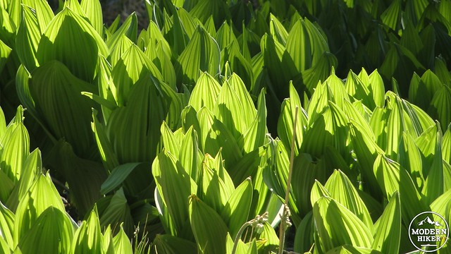
Skunk Cabbage CORN LILY at Wellmans Cienega
The trail from here continues to descend along more open hillsides. After another bend, the trail will wrap around to a gorgeous hillside meadow, complete with a small complex of trickling springs. This is Wellmans Cienega. Angelenos may be familiar with the word “Cienega,” which is eponymous with a major thoroughfare. Cienega describes a swampy marsh, which is clear at this spot, but not so much in Los Angeles anymore. This is also your last reliable spot to tank up on water if you drank your fill going up and down the summit.
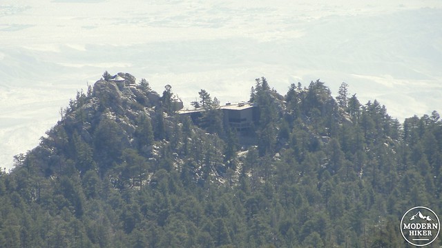
Tahquitz Peak
After the cienega, the trail continues its gradual downward slope before arriving at the PCT Junction along with the boundary for the National Forest. This will be the first time setting foot on National Forest land through this hike, and you will temporarily remain on Forest Property until returning to Strawberry Junction. You will take the right on the PCT heading toward Strawberry Junction. After climbing up a brief slope to a saddle, you will be welcomed by views of your return trip back down the mountain. Idyllwild lies nestled in its “bowl” as Tahquitz Peak and Lily Rock dominate the ridge advancing to the south. The segment of PCT you are now traveling on will hug the “bowl’s” north end as it approaches and passes Strawberry Cienega. This cienega is not as reliable of a water supply as Wellmans, although you can expect to see some water seepage keeping the mosses and ferns alive.
Strawberry Cienega Panorama
The PCT on this stretch is immensely enjoyable, even if you might be getting a little tired and footsore at this point. The trail will hug the side of the cliff, providing great views to the south. Eventually, the trail will pass up and over a low saddle and then past a rocky, open spot that it popular with the thru-hikers. This camping area is also dry, but the views are quite good. Continue on, and you soon rejoin the Deer Springs Trail at Strawberry Junction, completing the loop around Mt. San Jacinto and re-entering the State Park.
Subalpine sunset
From here, you will retrace your steps back down the Deer Springs Trail until you reach the trailhead. If you have the energy and inclination left after a really long hike, you can take the 1 mile spur trail to Suicide Rock, which enjoys an interesting perch and view over Idyllwild. However, if you find yourself tired and footsore, your best bet is to continue slowly and deliberately back down the trail. Re-tracing the Deer Springs Trail is a little a tedious, especially when you know you still have nearly 4.5 miles from Strawberry Junction. However, you’ll get back to the car eventually, at which point you can kick off your shoes and relish your accomplishment.
Alternate Trailheads:
Note: I highly recommend purchasing the Tom Harrison map for this region should you attempt any of the following alternatives.
1. Mountain Station: 33.837269, -116.614001. The classic and most popular way to reach the summit. Please refer to Casey’s excellent summary for more information.
2. Marion Mountain Trail: 33.791200, -116.735482. Departing from the Marion Mountain Campground, the Marion Mountain Trail makes its grueling way up the west slope of Mt. San Jacinto before junctioning with the PCT just before Deer Springs. Approximately 12 Miles, with 4,800′ of gain
3. Seven Pines Trail: 33.809740, -116.734179. Departing from the Azalea Trail (Forest Route 4S02), the Seven Pines Trail ascends the west side of San Jacinto, crossing the fledgling San Jacinto River, before joining with the PCT just before Deer Springs. Approximately 14 Miles, 4,400′.
4. Devils Slide Trail: 33.764647, -116.686050. Departs from Humber Park and climbs up the northernmost segment of the Desert Divide, just north of Tahquitz Peak. At Saddle Junction, Devils Slide merges with the PCT, which splits off toward Wellmans Divide and the summit. Approximately 16 miles, with 4,200′ of gain.
Tags: Deer Springs Trail, idyllwild, Little Round Valley, Mt. San Jacinto, Mt. San Jacinto State Park, palm springs, Round Valley, Strawberry Cienega, Wellmans Cienega, Wellmans Divide