Located in the Hollywood Hills and nestled between multi-million-dollar mansions, you’ll find a large plot of undeveloped land – it’s surprising that it didn’t become another piece of prized Los Angeles real estate. We can all thank Nancy Hoover Pohl that didn’t happen.
A resident of Studio City, she advocated for the preservation and protection of the land from rampant development for over 60 years. Her efforts resulted in Fryman Canyon Park, a 122-acre greenspace for all to enjoy. And to honor her environmental advocacy, in 1998 the Nancy Hoover Pohl Overlook was established. But it’s much more than a pretty view, as below is a string of trails for hikers to explore. While those looking for a longer journey can venture on the Betty B. Dearing Trail, we decided to take on the shorter Nancy Hoover Pohl Overlook loop. With panoramic views, shaded wooded sections, and several unexpected oddities, were pleasantly surprised at how eclectic and enjoyable this urban hike was.
The parking lot fits about 40 cars, and we had no trouble finding a spot. You’ll also find trash cans, a water fountain, and a public dog bag dispenser. Expect to see plenty of people walking their dogs on your hike.
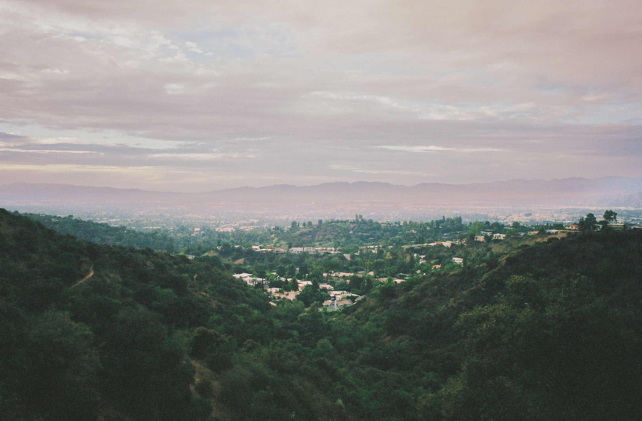
The stunning views start even before stepping on the trail. From the overlook, you can see most of the San Fernando Valley, with the San Gabriel Mountains rising mightily in the distance – visit at sunset to see them painted in orange and red light. Look for the prominent peak with telecommunication towers on top – that’s Mount Lukens, the highest point within Los Angeles city limits. Turning your gaze skyward, you’ll likely see planes flying in and out of the Hollywood Burbank Airport.

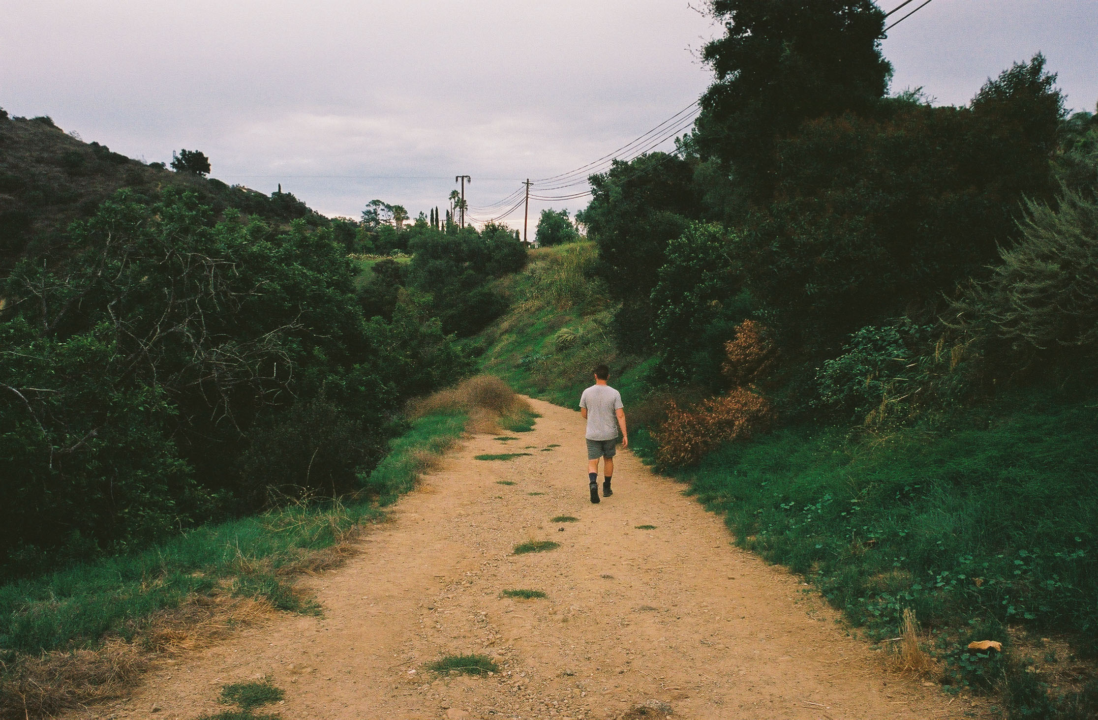
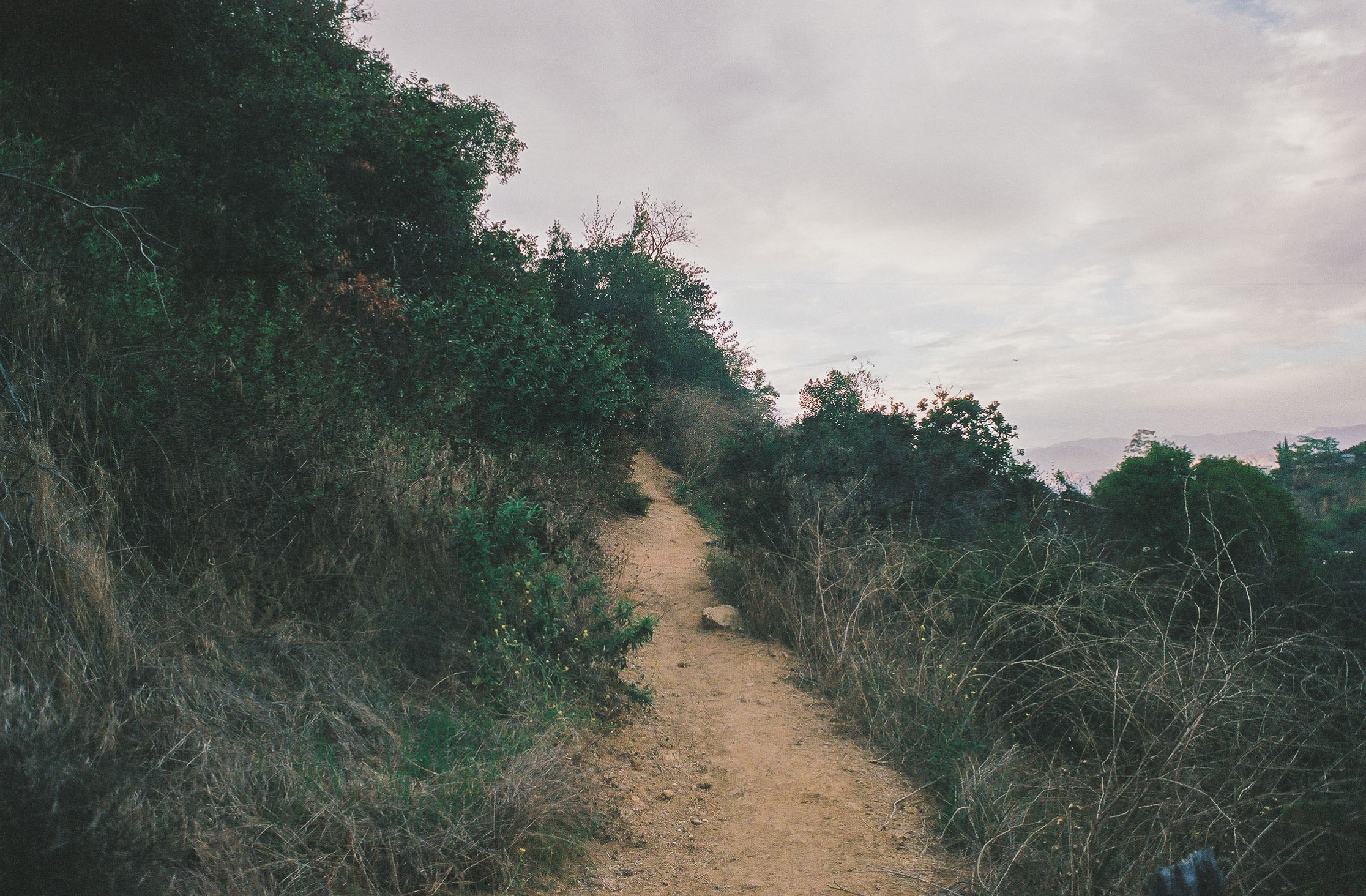
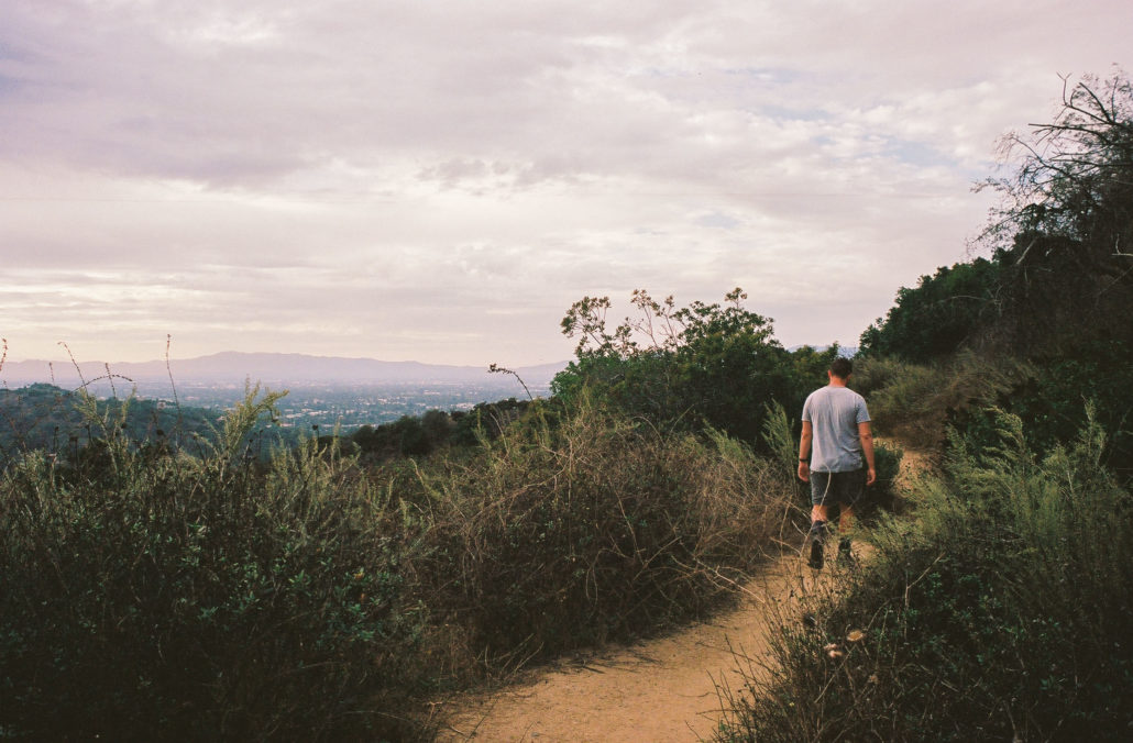
The start of the trail runs parallel to Mulholland Drive. Shot on Kodak Portra 400 film.
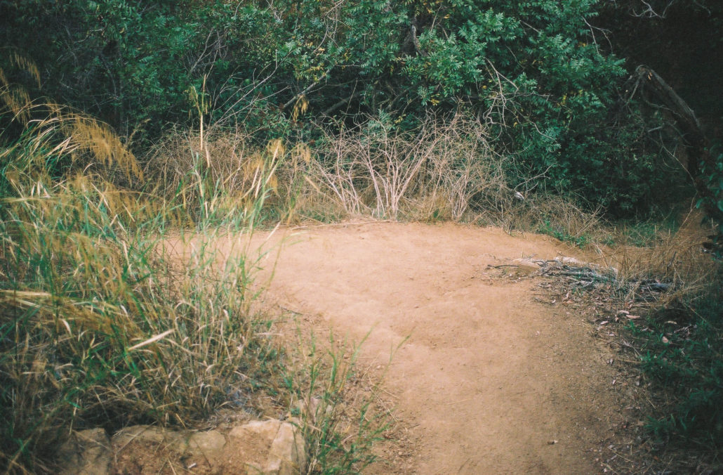
Walk past the iron gate to start your adventure. We decided to hike this trail counterclockwise, heading straight along the more well-defined path. This section is slightly downhill and mostly exposed, making for easy hiking with stunning views. If you want to fully take in the sights, there are several spur trails that lead you to more unobstructed viewpoints.
There are nonstop views during this section. Shot on Kodak Portra 400 film.
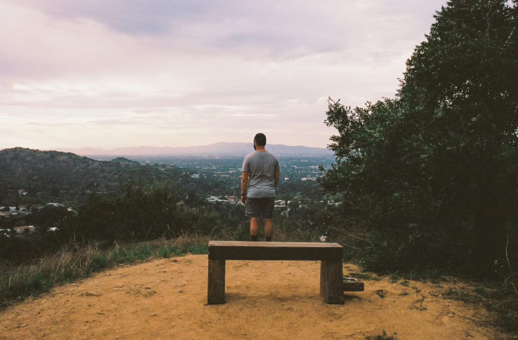
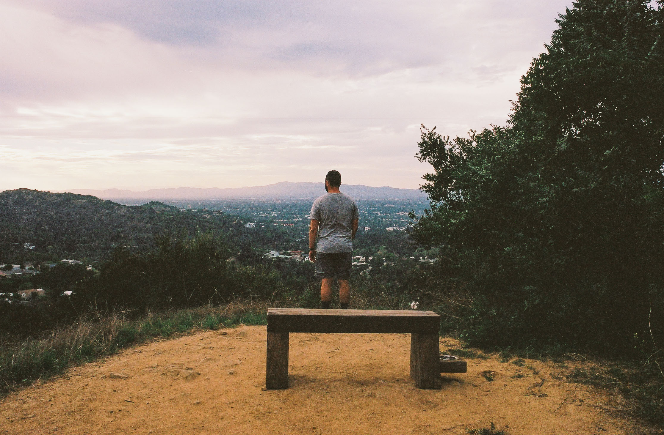
A great place to rest and enjoy the vista. Shot on Kodak Portra 400 film.
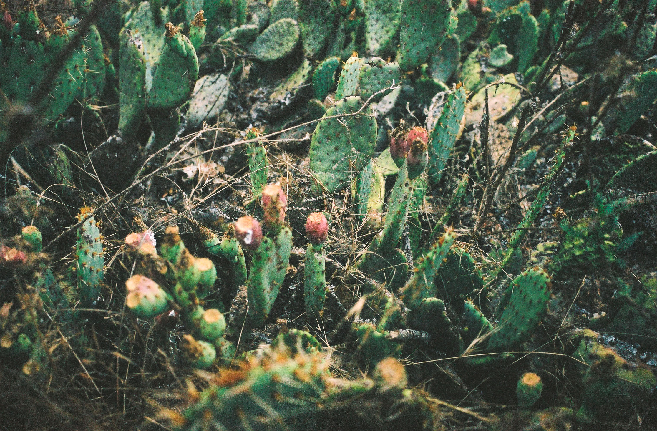
Also along the way, there is an interesting mix of native and invasive plant species, including Sweet Fennel, California Sagebrush, Southern California Walnut, Prickly Pear Cactus, and the infamous Black Mustard. While there is a steep drop-off to your left, we never felt unsafe. At 0.4 miles, there is a small bench with a dog bowl attached to the side, a great area to rest and soak in your surroundings. Once you’re ready to continue, you’ll soon run into a fork in the trail. Turn left to continue the loop.
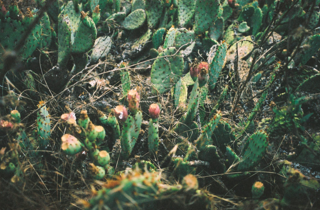
Prickly Pear Cactus. Shot on Kodak Portra 400 film.

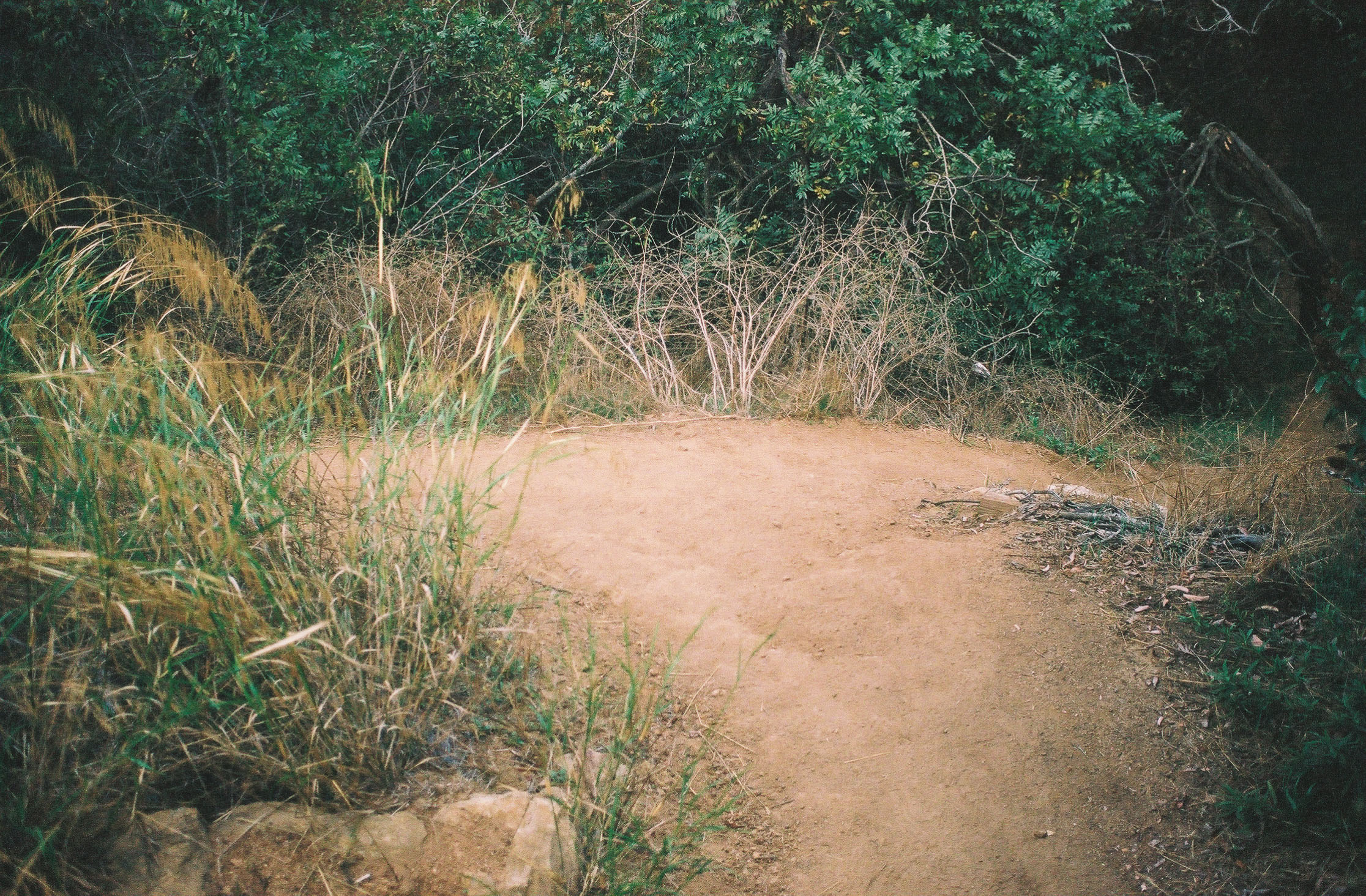
turn left at this fork to continue on the trail. Shot on Kodak Portra 400 film.
You’ll now start descending at a steeper grade. The trail here is a bit rougher and more slippery, but if you approach this section with care, it’s not too treacherous. Also, expect it to be more overgrown. You’ll follow the contour of the hillside down for about a quarter of a mile before reaching your next trail junction and once again turning left.
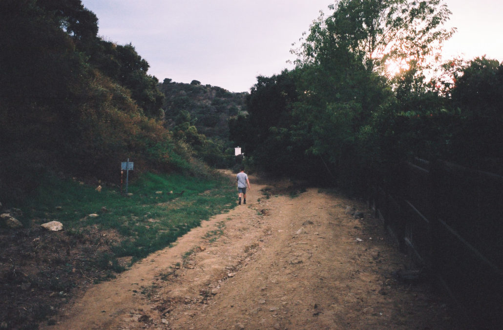
A fence separates you from Studio City residents. Shot on Kodak Portra 400 film.
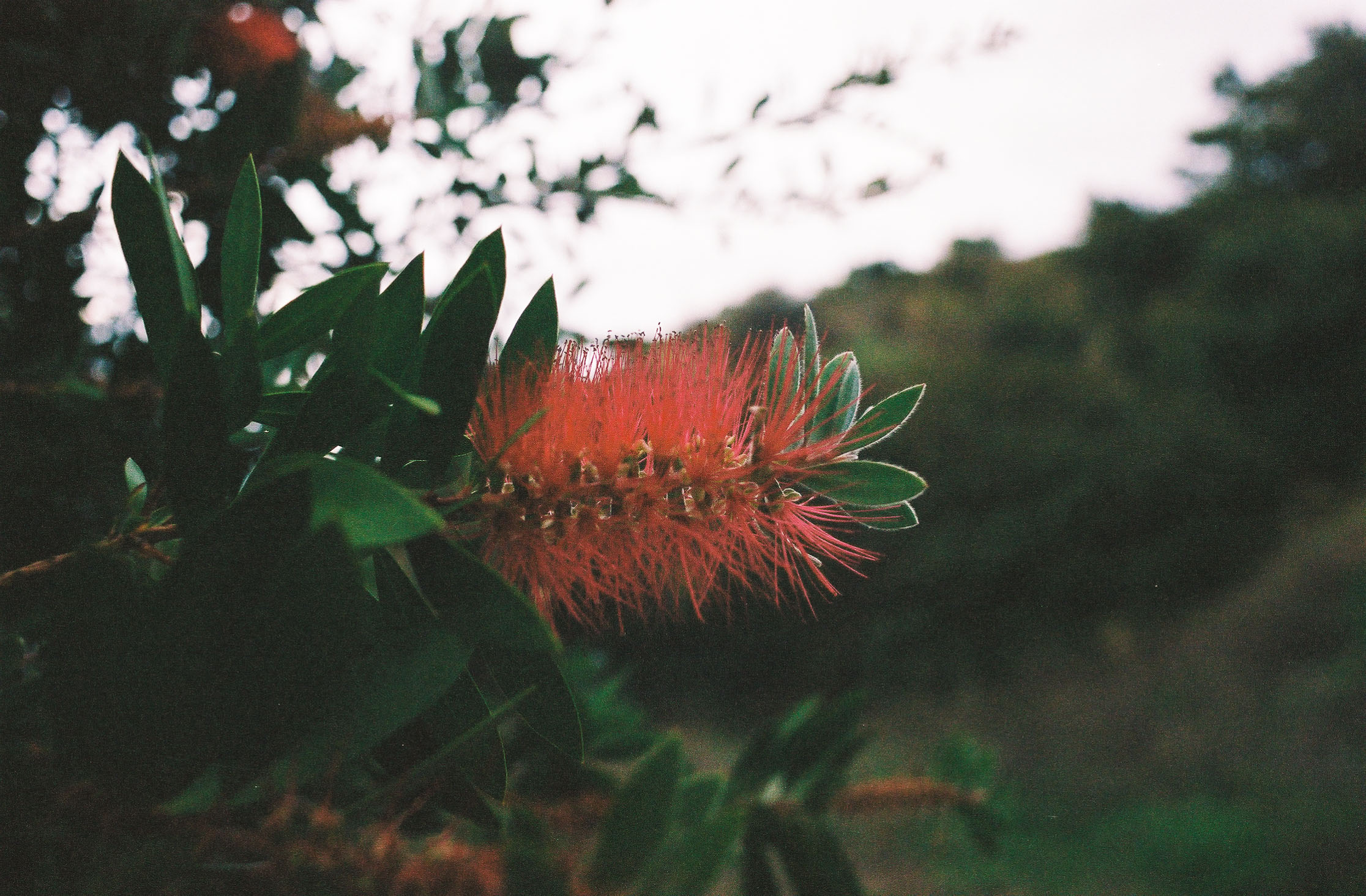
The trail widens significantly here and at one time was paved over by concrete. To your left is Fryman Canyon Park, and to your right are the backyards of Studio City homes – wildland–urban interface at its starkest. While this leg of the hike isn’t the most picturesque, I did notice some interesting plants, including Tree Tobacco and Crimson bottlebrush. At mile 0.9, the trail becomes paved, and almost immediately after you’ll turn left (a common theme on this hike) to head back up the hill.

Crimson bottlebrush. Shot on Kodak Portra 400 film.
As you start climbing, you’ll notice that your path has become much more shaded, green, and temperate. Like your initial descent, the climb is steep and a little washed out at parts, but nothing too severe. You’ll continue to encounter forks in your trail – stay left at each to continue in the correct direction. Looking up, you can see homes in the Hollywood Hills and cars driving on Mulholland Drive. At 1.1 miles, there’s a second small bench for you to rest at.

This short trail can be surprisingly steep. Shot on Kodak Portra 400 film.
At mile 1.3 there is a particularly confusing junction. Make sure to head left, which will feel like you are walking in the opposite direction but will soon redirect you back toward the trailhead. I’ve veered right before by accident and was met with an eroded and unmaintained path that led to nowhere.
Turn left at this junction. Shot on Kodak Portra 400 film.
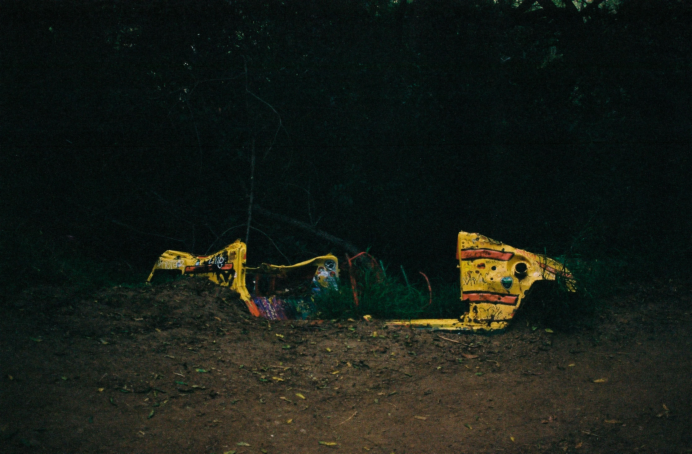
From here on out, the rest of your hike is mostly covered. This stretch is also much more whimsical. You’ll soon see an old car, half-buried covered in colorful paint. Then, after a small creek crossing, there is a swing right on the trail for hikers to use.
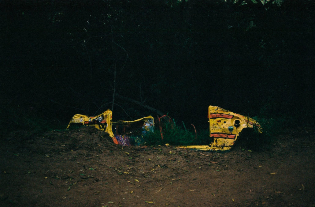
This car has likely sat here for many years. Shot on Kodak Portra 400 film.
Passing the swing, the final challenge between you and the trailhead is seven switchbacks. While it’s tempting to take shortcuts between them, please stay on the official path. Cutting switchbacks disturbs the vegetation, increases erosion, and damages the trail.
Finishing your final switchback, head toward the iron gate that marked the start of your journey to complete your trek.
Tags: Fryman Canyon Park, Hiking, Los Angeles, Nancy Hoover Pohl Overlook, shade, urban hike, water features