It never wears on me the plethora of hiking opportunities there are in Southern California. There seem to be trails year-round that even the pickiest of hikers will enjoy. It’s for this reason that, as a Southern California native, Topanga State Park had eluded me until recently – there are just so many good hiking options to choose from that this park fell through the cracks. And now I slightly regret not visiting earlier (better late than never, right?), as it offers numerous stunning hiking trails, including the 4.7-mile Musch Trail Loop. With gorgeous fields, several shaded sections, plenty of wide-open views, and a great beginner-friendly backpacking camp, this trail has it all.
Enjoy a variety of quirky houses as you drive to the trailhead, including one yard with a T. Rex statue ready to pounce at its next victim. You’ll park at the Trippet Ranch (gates open between 8 AM and sunset), which has plenty of available spaces as well as several amenities including flush toilets and sinks, picnic tables, water fountains, trash cans, and a Topanga State Park information sign. Find the Musch Trail sign at the eastern edge of the lot to start your hike.
Starting our hike along the Musch Trail.
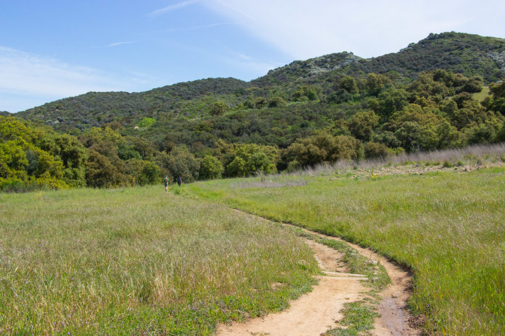
Spring is an ideal time to visit, as everything is verdant and full of life.
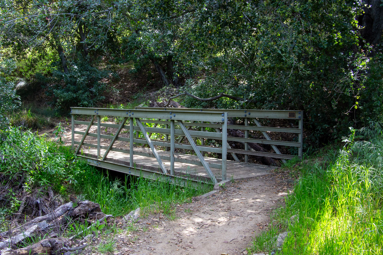
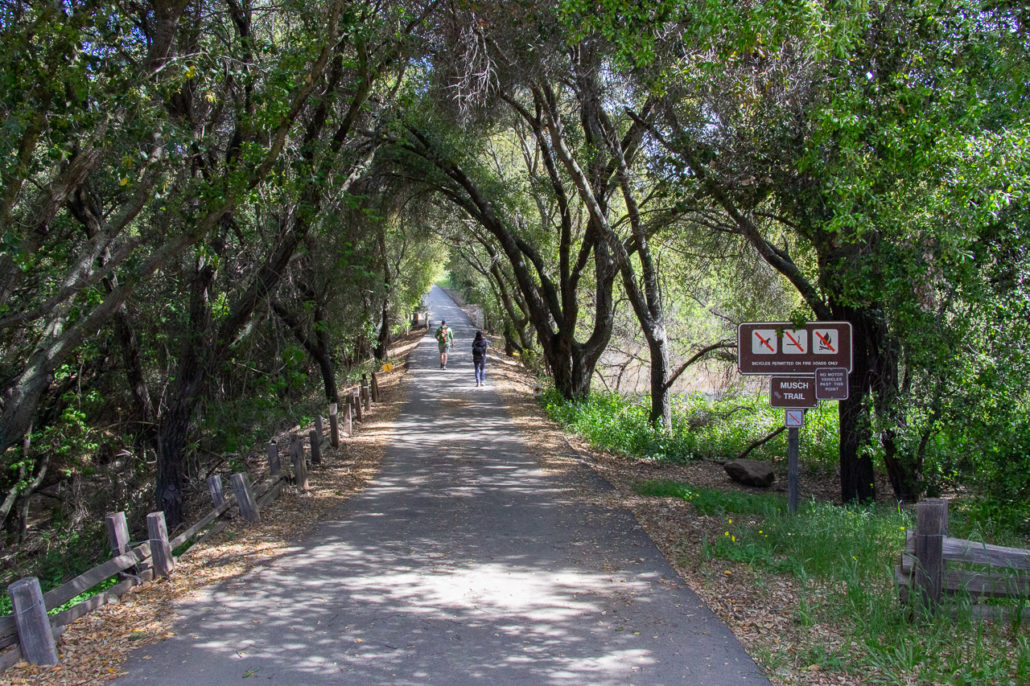
Your hike starts on a shaded, paved trail that opens to a grassy field – when we went in the spring, it was green and full of life. Fun fact: this section of trail is a part of the 67-mile Backbone trail, which spans the length of the Santa Monica Mountains. After just a tenth of a mile, turn right onto a dirt path. Soon, you’ll cross a bridge and start hiking under some Coast Live Oak Trees. The shade was refreshing, but the combination of recent rain and lack of direct sunlight resulted in a few muddy sections. Luckily, the trail builders constructed several stairs to help combat erosion and make the path easier to follow.

A short bridge crossing.
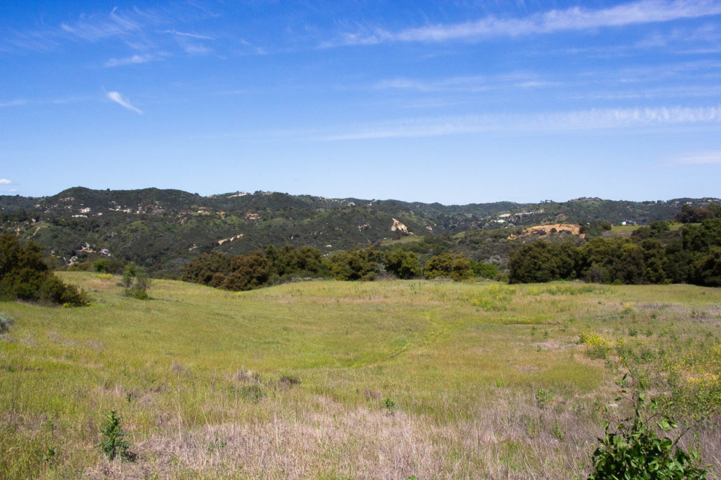
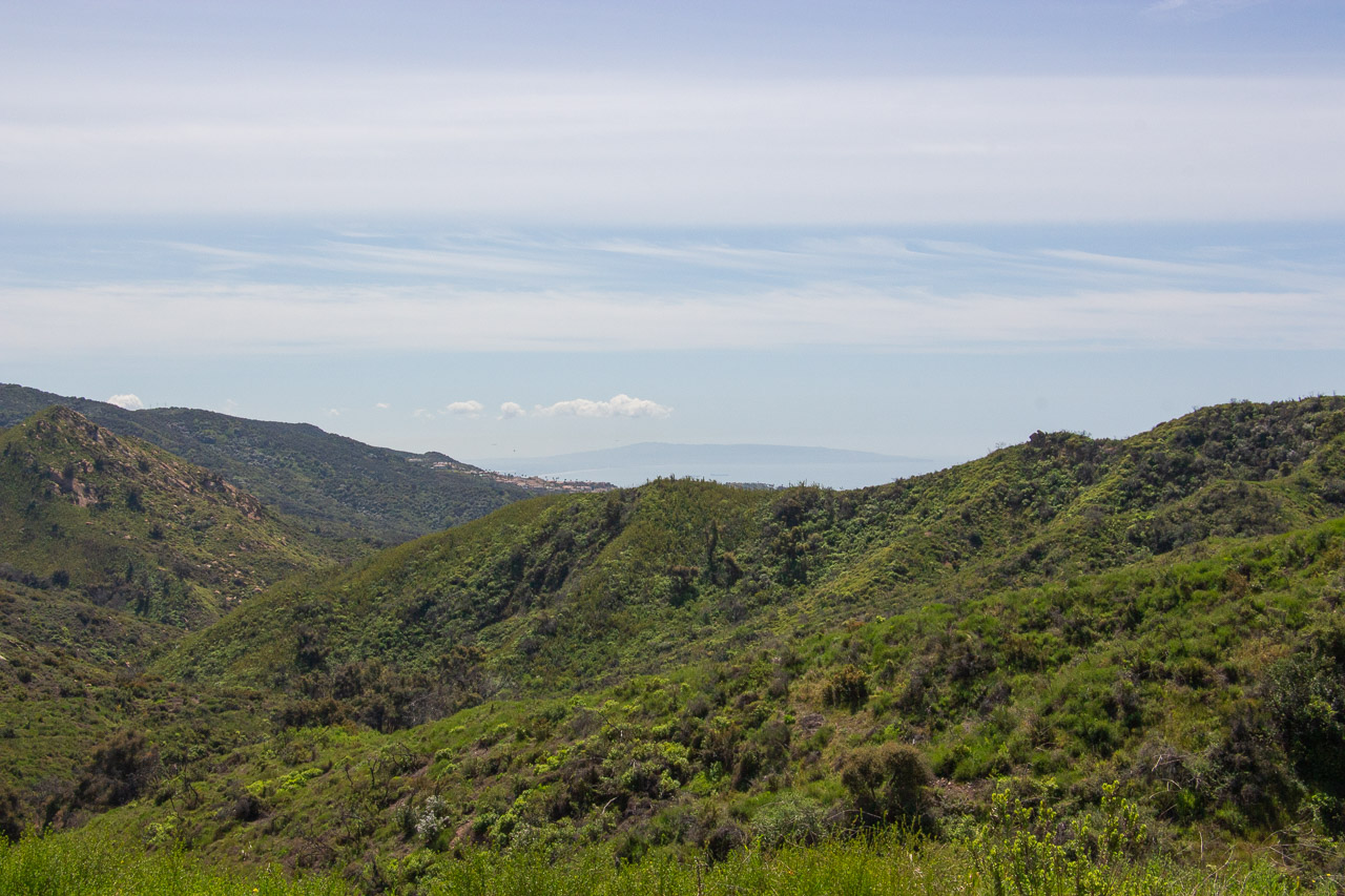
An open field, with the Santa Monica Mountains and Topanga Canyon homes in the background.
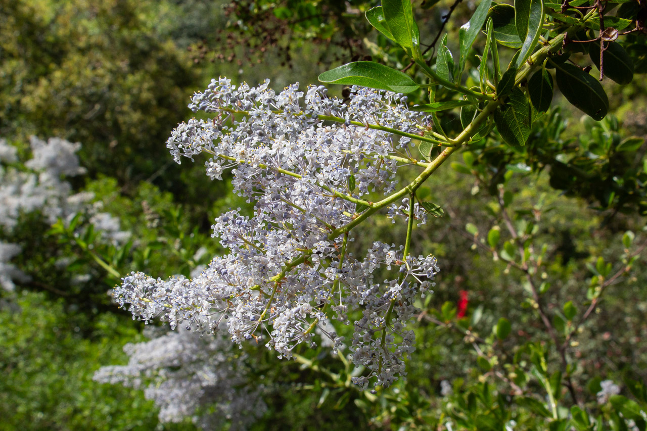
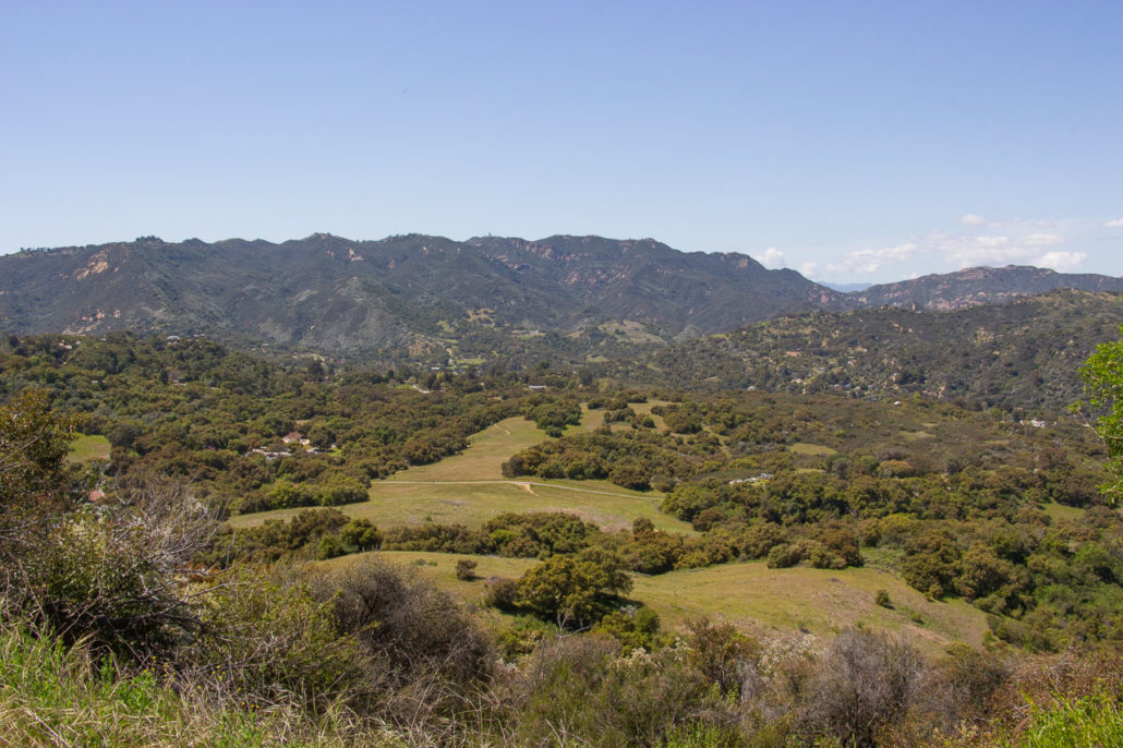
As you continue, you’ll switch between stretches of wide-open trail, with expansive vistas of the Santa Monica Mountains and Topanga Homes, and lush, green sections full of plant life. We were extra excited about witnessing the puffball-like flowers, Greenbark Ceanthus, in full bloom.
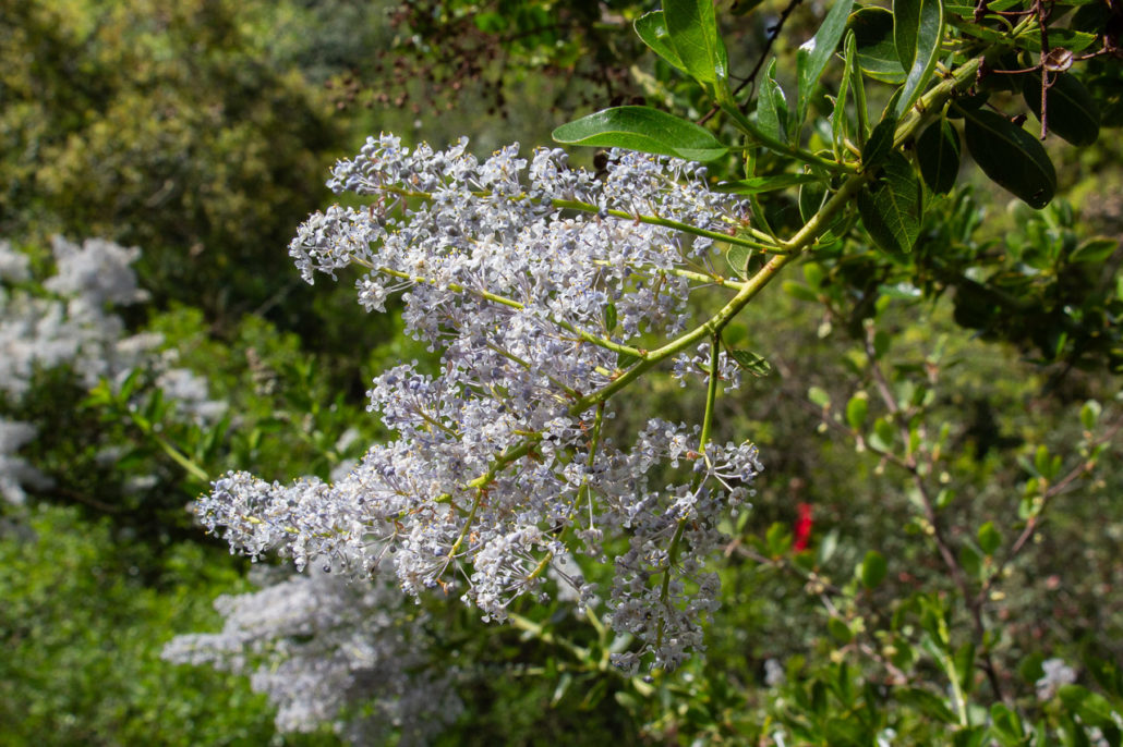
Blooming Greenbark Ceanthus.
The trail takes hikers through open meadows and shaded sections.
At mile 0.6, there’s a bench with a stunning overlook. Then at one mile, you’ll reach Musch Trail Camp.
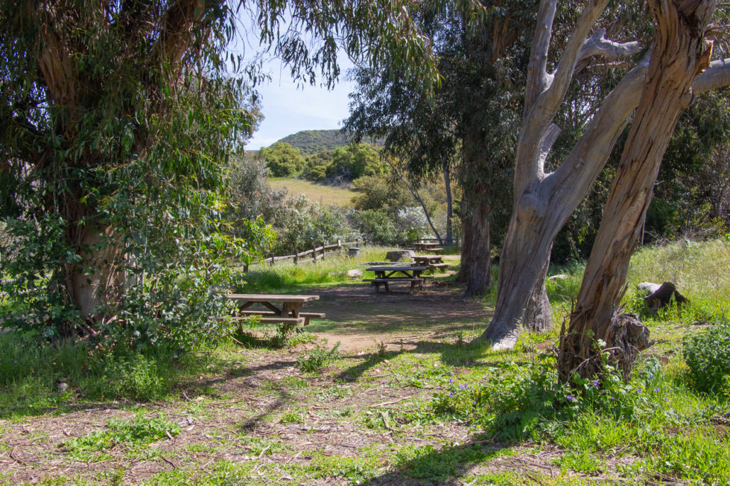
Musch Trail Camp campsites.
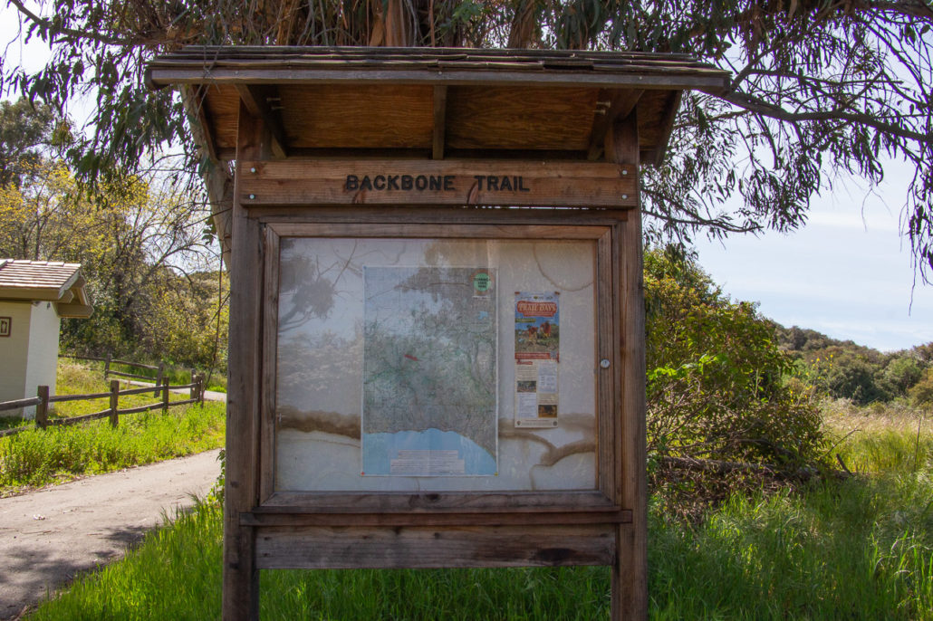
An info sign about the Backbone Trail at Musch Trail Camp.
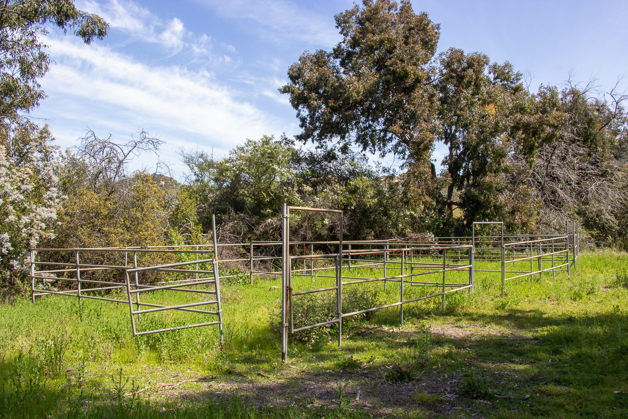
This first-come, first-served hike-in campground has an impressive number of luxuries. You’ll find picnic tables at each of the eight campsites, as well as flush toilets and sinks, potable water, and horse stables. The sites themselves were decently shaded and several are hidden away from the trail for an added touch of privacy. While campfires are prohibited, overall, it is an easy and accessible backpacking location, perfect for beginners or those looking for a quick night away from the city.

Musch Trail Camp’s horse corral.
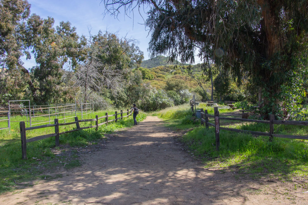
Musch Trail Camp to the right of the trail and the horse corrals to the left.
At mile 1.2, stay right, following the Musch Trail to Eagle Junction. Then 0.3 miles later, you’ll start the big climb of the hike.
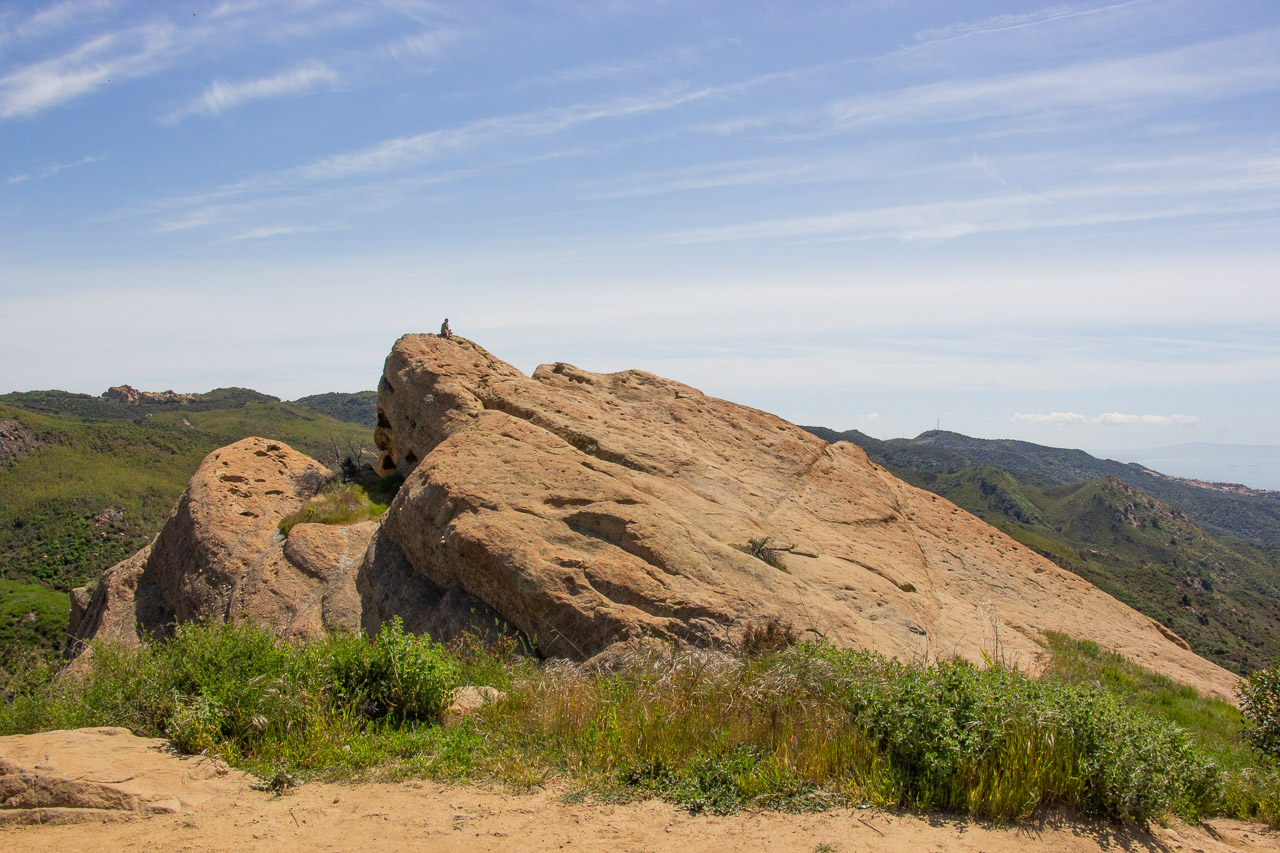
The ascent is steady, but the grade isn’t too taxing. It was also interesting to see the transition from a lush and shaded environment to a more exposed landscape mostly dominated by shrubs and other chaparral plants. At mile 2.2, you’ll reach the spur trail that leads you up to Eagle Rock. It’s also here where you’ll get your first glimpse of the Pacific Ocean. Turn left and continue your trek to Eagle Rock.
Panoramic views of the Santa Monica Mountains.
Now on a wide fire road, you’ll likely encounter mountain bikers and horseback riders. Remember to share the trail – everyone we passed was friendly and kind. Finally, at mile 2.6 we reached Eagle Rock.
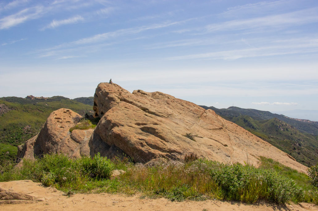
Eagle Rock, the high point of your hike.
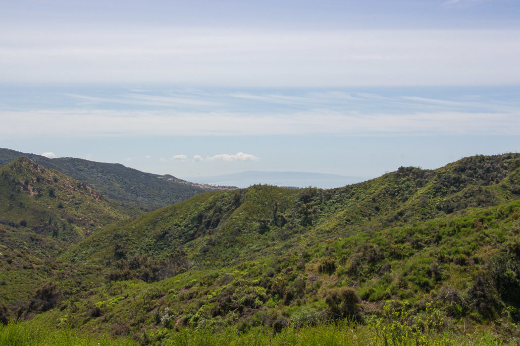
Sitting atop this geological outcropping, we had stunning 360-degree views. From the South Bay to the San Fernando Valley and from Catalina Island to the San Gabriel Mountains, we were blown away by the expansive vistas we could take in from our vantage point. We could have sat on top of Eagle Rock for a long time if not for the cutting wind. However, the gusts got the better of us and soon we climbed down and worked our way back to the main trail.
As you follow the ridgeline, take in the expansive vistas around you.
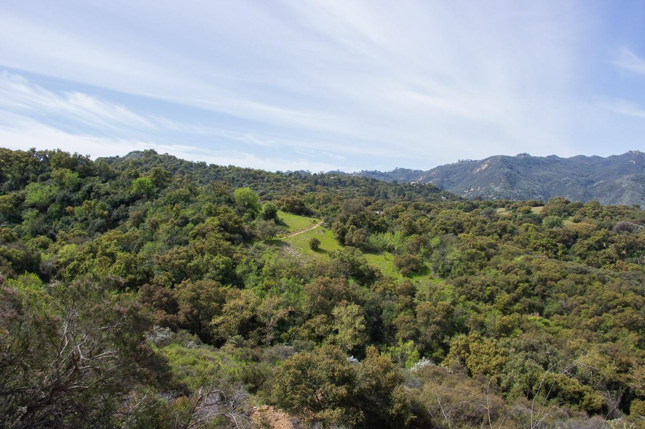
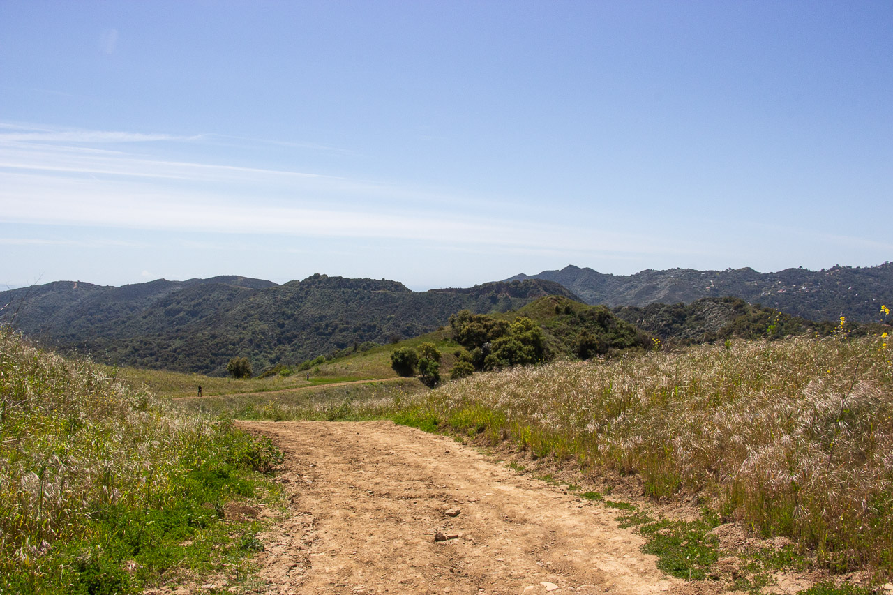
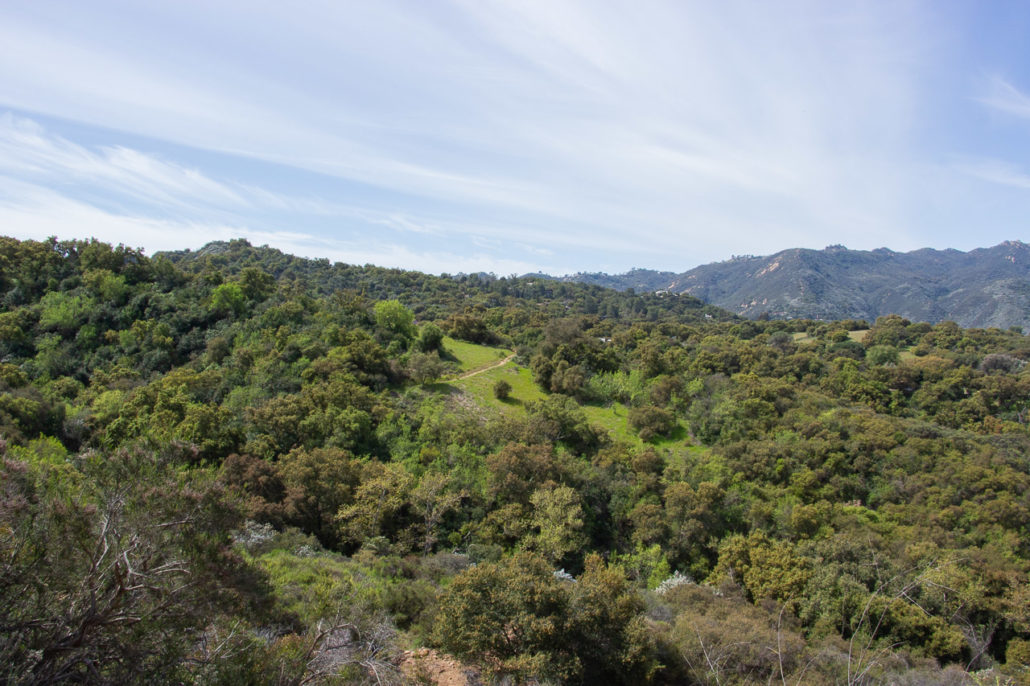
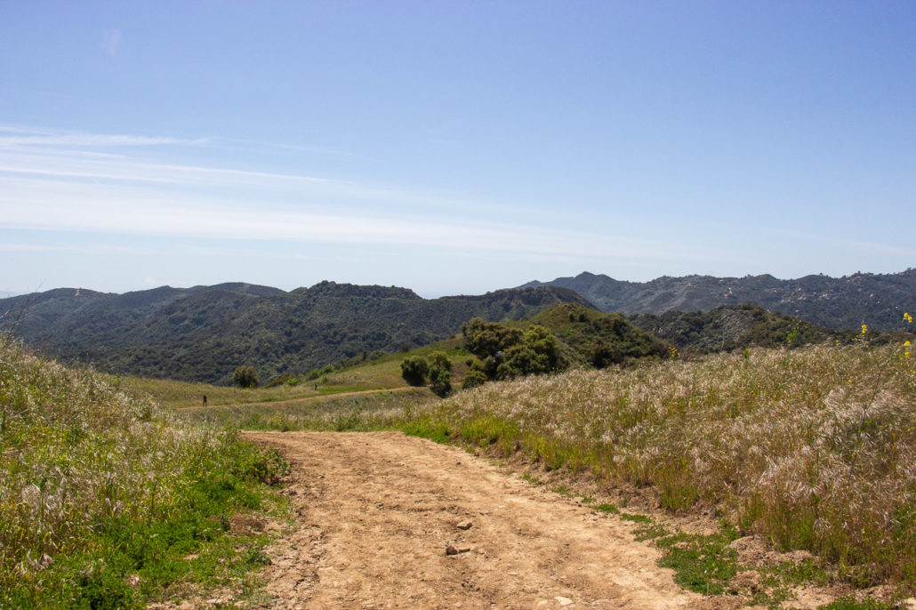
At mile 3.2 we rejoined the loop and continued straight along the Eagle Springs Fire Road, leaving the Backbone Trail behind. The path follows a ridgeline as it slowly descends, offering gorgeous panoramic views. And at around mile 4, you can catch a glimpse of the first field you walked through to your right.
From the high vantage point, you can see the field you walked through at the start of your hike.
Finally at mile 4.5 turn right and follow signs to the parking lot to complete your trek.
For a tasty post-hike meal, head to Topanga Living Cafe. This cute little restaurant and gift shop about three miles north of the trailhead serves fresh breakfast and lunch fare, as well as a decent selection of smoothies. As for me, I ordered the Canyon Turkey Club and thoroughly enjoyed my meal. There are also several vegan and gluten-free options, too!
Tags: Backpacking, Eagle Rock, Hiking, Musch Trail, Musch Trail Camp, Santa Monica Mountains, Topanga State Park