Angel Island State Park feels like an escape to Never Never Land in the middle of San Francisco Bay. Its treasures are 13 miles of hiking trails, hidden beaches, and military artifacts, as well as spectacular views of the Golden Gate Bridge. Taking the ferry to the island, the largest natural one in the San Francisco Bay, and the ability to camp overnight, makes it special, too. It’s a fantastic San Francisco getaway close to home. This hike takes you to Mount Livermore, the highest point on Angel Island at 788 feet.

Although this route starting on the North Ridge Trail is steeper, it’s a shorter route to the summit. You also avoid crowds funneling off the ferry towards the Visitor Center. It’s easy to add on a side trip to one of the island’s hidden beaches (see Notes below) or a historic site. Just be sure to bring a picnic: the island has plentiful picnic tables and you will want to savor it all until you have to grow up…errr, catch the ferry home.
History
In 1775, Spanish explorer Lt. Juan Manuel de Ayala landed at Ayala Cove. He named the island Isla de Los Angeles, or “Island of the Angels,” following a practice of naming an island after the Catholic feast day that coincides with a ship’s arrival. In this case, it was the feast day of Our Lady of the Angels.
Before Ayala’s time, the Coast Miwok used the island seasonally for hunting and fishing approximately 2,000 years ago. Fast forward to the early 1840’s, and cattle roamed the island on Antonio Maria Osio’s cattle ranch during Mexico’s rule of California. After the Mexican-American War and California’s statehood, the U.S. military built housing and defense systems for multiple wars, beginning with Camp Reynolds during the Civil War in 1863.
The military occupied the island for nearly 100 years, until a Nike missile site was removed in 1962. In between, from 1910 to 1940, thousands of immigrants were detained at an Immigration Station on the northeastern side of the island. After a fire in 1940, immigration processing was transferred to San Francisco. The Immigration Station has since undergone a thoughtful and poignant restoration for visitors.
The military began withdrawing from the island in 1946, and the California State Park Commission started acquiring land there in 1954. Once the missile site closed in 1962, most of the remaining acreage was transferred to California State Parks. Today, the Coast Guard maintains a station at Point Blunt, and visitors are able to explore many of the former batteries, garrisons, and military buildings off the Perimeter Road.
North Ridge Trail
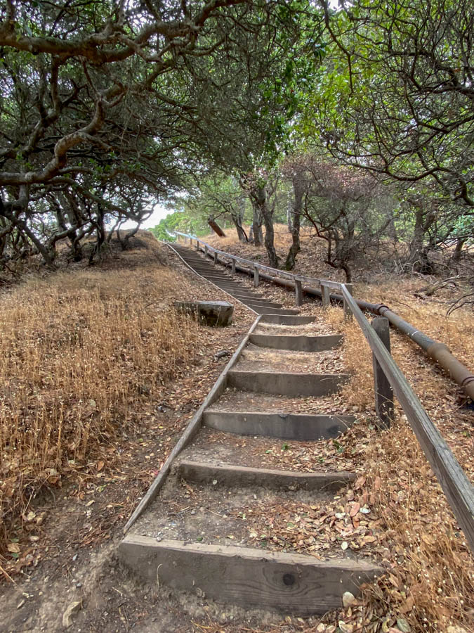
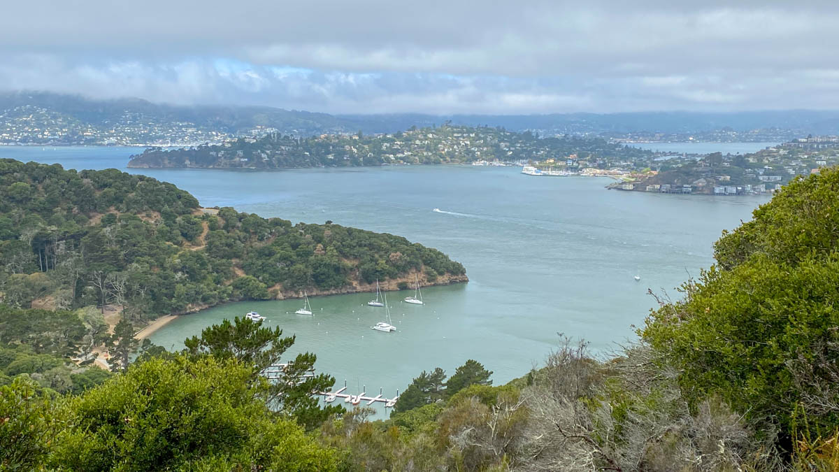
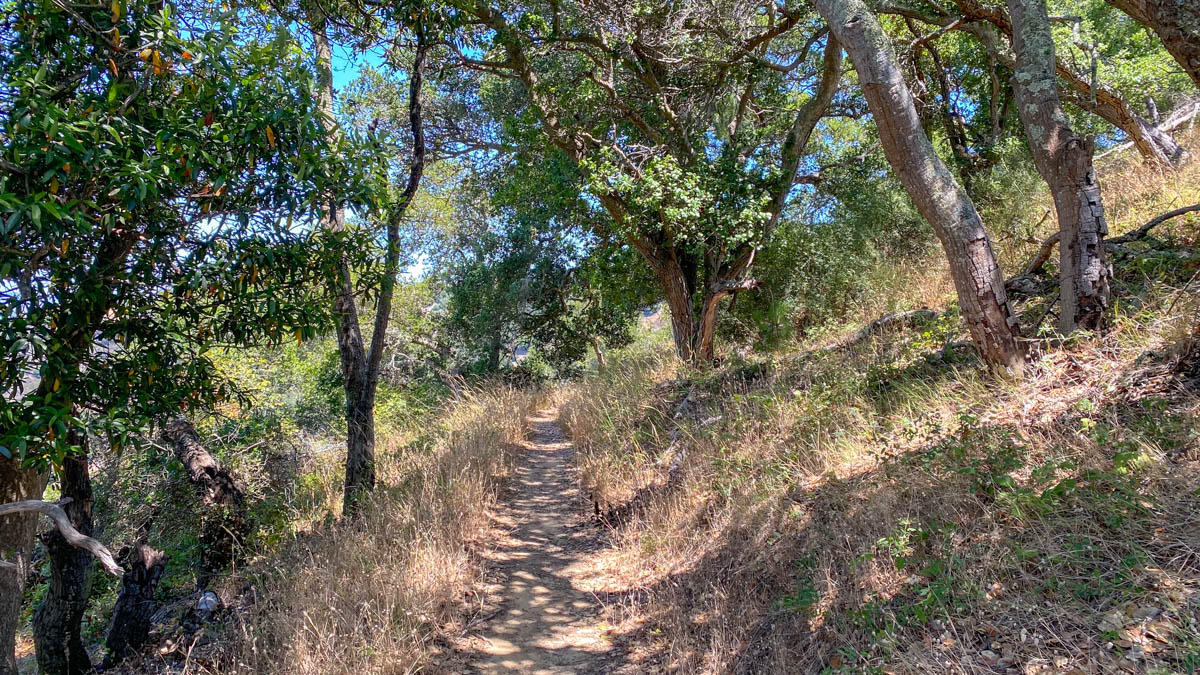
Stepping off the ferry, bear left at the Welcome sign onto the North Ridge Trail. The moderately wide, partially shady trail climbs east up wooden staircases under wind-twisted trees. The first of many picnic tables greets you up the first hill, and peek-a-boo views of Ayala Cove.


In 0.2 miles, cross the Perimeter Road, a paved, bike-friendly road that circles the island. The North Ridge Trail continues towards Mount Livermore, partially shaded with oaks, bays, and madrone.


Raccoon Strait, the body of water between between Angel Island and Tiburon, becomes more and more visible as you climb. The strait is named after the HMS Racoon—yes, one “c” in the original spelling—a British ship repaired at Ayala Cove in 1814.


Cross a bike-friendly dirt road at 1.0-mile, staying on the North Ridge Trail towards Mount Livermore. As you emerge into coastal scrub, you can see the gray, antenna-like beacon on Mount Livermore’s summit.


Mount Livermore
Arrive at a junction with the Sunset Trail at 1.8 miles. Turn right to take the spur to Mount Livermore. You’ll return here to continue your loop.

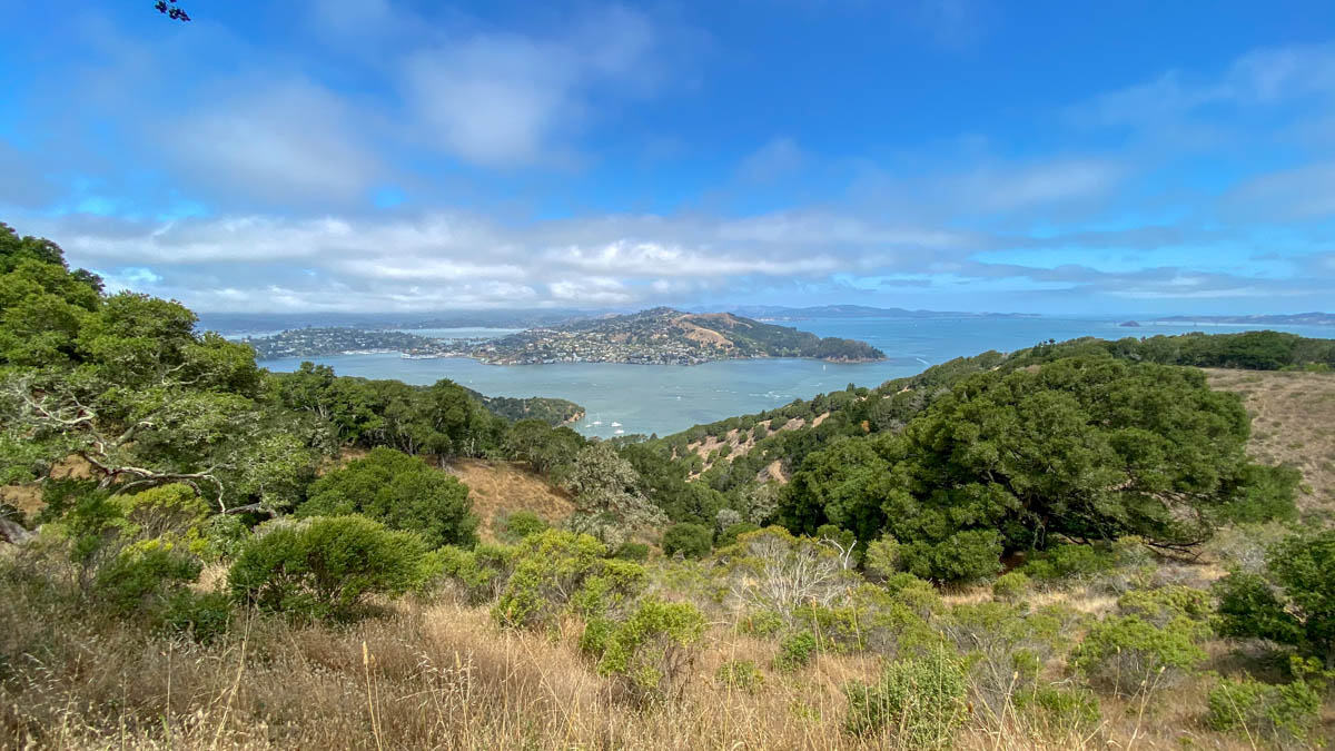
Along the ridgeline, the sagebrush and coyote brush are a green contrast to the aqua bay. High up now on the pyramid-shaped island, your views are gorgeous. To the north, beyond the Tiburon Peninsula, you can see the northern reaches of the San Francisco Bay and the full length of the Richmond Bridge.

After 0.4 miles, reach the summit of Mount Livermore and her beacon. Mount Livermore is named after Caroline Sealy Livermore, a savvy Marin conservationist who fought for Angel Island to become a state park. Livermore was born in Galveston, Texas in 1885 and moved to Marin in 1930. In the following decades, she became a passionate protector of Marin wildlands, helping establish the Marin Conservation League and helping create Mount Tamalpais State Park and Samuel P. Taylor State Park, among others. She passed in 1968, five years after Angel Island officially became a state park in 1963.


Past the summit, a gently descending trail leads to a windy picnic area. The view is spectacular. Angel Island’s hillsides roll to the water’s edge like a magic carpet. Stretching from the southeast to the southwest are the Bay Bridge, Alcatraz, San Francisco, the Golden Gate Bridge, and the Marin Headlands.

Sunset Trail
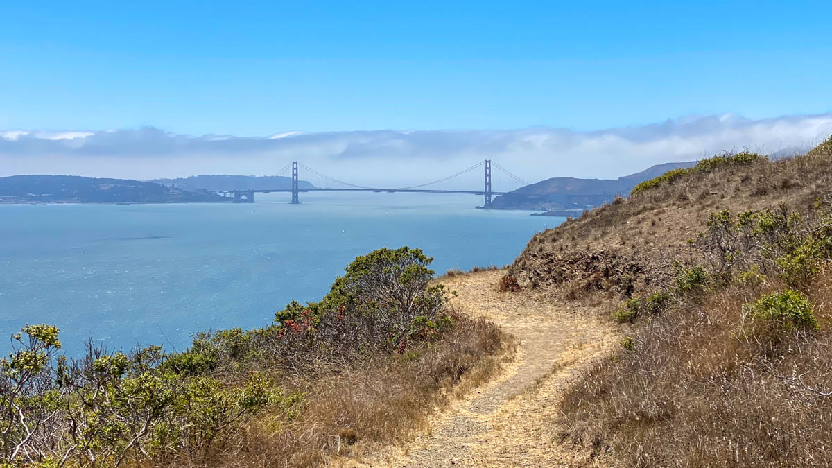
Retrace your steps back to the Sunset Trail junction, and stay straight. After 500 feet, turn right at the 2.6-mile mark to stay on the Sunset Trail. In front of you is Alcatraz, downtown San Francisco, and the faint outline of the Sutro Tower. The trail cuts east through a sunny slope to a dead-on vista of the Golden Gate Bridge.


Around the corner is another incredible vista: the Golden Gate Bridge, Marin Headlands, Richardson Bay, and Mount Tamalpais. Belvedere Island juts out between Richardson Bay and Raccoon Strait. Overhead you may see turkey vultures and hawks circling, as well as deer lingering in the bushes.

After this vista, the trail descends back into the trees, a relief after the last sunny stretch. The switchbacks are long and languorous, descending north with pocket views of Ayala Cove. Cross back over the dirt fire road, continuing on the Sunset Trail.


Ayala Cove
At 4.6 miles, arrive back at the Perimeter Road. Cross it and bear right onto the bike route. On the left is a paved pedestrian road, which also takes you back to the cove. The bike route just has a little bit more of a woodsy, trail-like feel.


Both trails reconnect at an information display next the Visitor Center. Beyond it are rows of sunny picnic tables with grills. Follow the edge of Ayala Cove to return to the ferry.


Notes:
- Dogs are not allowed on the island, with the exception of federally-recognized service dogs.
- Cars are not allowed on the island. You may see the trams running, or the occasional park maintenance vehicle.
- Bikes are allowed on ferries and on designated trails on the island.
- Two main ferries service Angel Island. The Golden Gate Bridge Highway and Transportation District runs ferries from San Francisco. The Angel Island Ferry departs from Tiburon.
- There are restrooms with flush toilets at Ayala Cove, Camp Reynolds, and Fort McDowell.
- There is a trail map in the park brochure on the Angel Island State Park’s website.
- Visit the Angel island Immigration Station Foundation’s website for visitor hours and information.
- There are two hidden beaches on the island that add a few miles to this hike: Perles Beach and Quarry Beach. Both beaches are located off the Perimeter Road. They are not well-signed, but with a bit of sleuthing, it’s not difficult to find them. To reach them from the North Ridge-Sunset Trail Loop, take the Ida Trail down to the Perimeter Road in the direction of the beach you’d like to visit.
Tags: Angel Island State Park, Marin, North Bay, san francisco, San Francisco Bay, Tiburon


