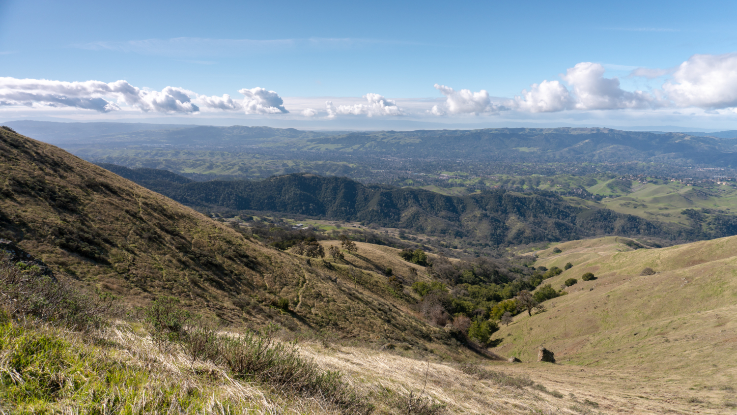
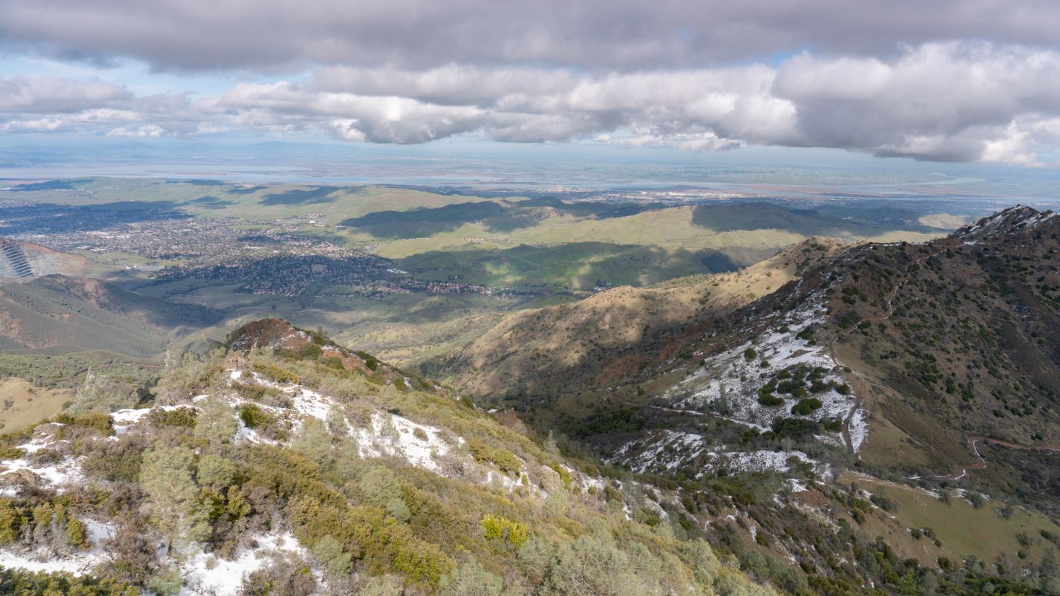
Mount Diablo, 35 miles east of San Francisco, is one of the most recognizable peaks in the Bay Area, with encompassing views of Northern California’s cities, parks, wilderness, waterways, and neighboring peaks for 100 miles in each direction from its 3,849-foot perch in the East Bay. Although you could drive to the summit, this challenging and strenuous loop hike climbs to it with stops at Eagle Peak, Twin Peaks, and Mitchell Rock on the return. You can even get an ice cream sandwich at the top!
Straddling two climates—the Pacific Coast and Central Valley—and ranging in elevation between 300 feet to 3,849 feet, Mount Diablo State Park is a biological and geological marvel, with over 600 species of plants, 200 species of birds, and a melange of rocks dating back over 150 million years. Spring wildflowers, winter waterfalls, autumnal tarantulas in search of mates, peregrine falcons, cottontail rabbits, and 360-degree views from the summit are just a tiny sample of what the park has going for it. You could explore every inch of the 170 miles of trails within the nearly 20,000-acre Mount Diablo State Park and still find something new to see each season.
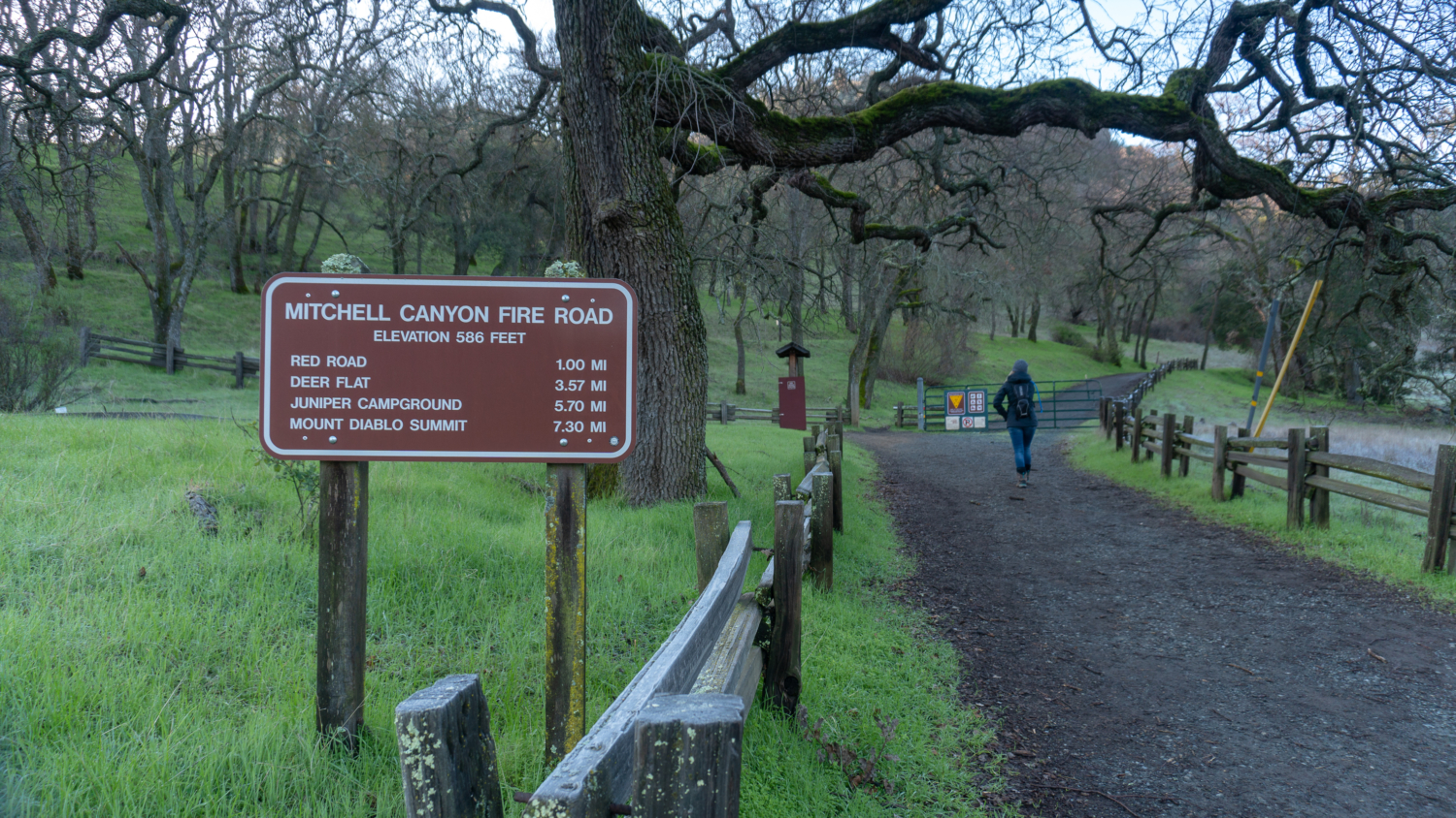
Mount Diablo is part of a sisterhood of four developed peaks circling the San Francisco Bay; the others are Mount Tamalpais (2,571 feet), Mount Umunhum (3,486 feet), and Mount Hamilton (4,209 feet). You can drive to each on paved roads, but thankfully, for those of us craving steep ascents, you can hike to the summit of Mount Diablo, too. This counter-clockwise summit loop starts from the Mitchell Canyon trailhead, elevation 600 feet. It is a strenuous and rewarding “bottom-to-top” day hike that makes a great training hike for Mount Whitney, Half Dome, and mountaineering exploits.
The 4100 feet elevation gain listed at the top takes into account the cumulative elevation climbed throughout the hike: every hill you climb, even on the way back down to the trailhead. Although the description for the loop is counter-clockwise, the scenery is stunning in the clockwise direction, too. I like going counter-clockwise because it is a gentler, less steep approach, I can see wildflowers in Mitchell Canyon at the start of the hike in the spring, and it warms up my legs for the climbing to come.
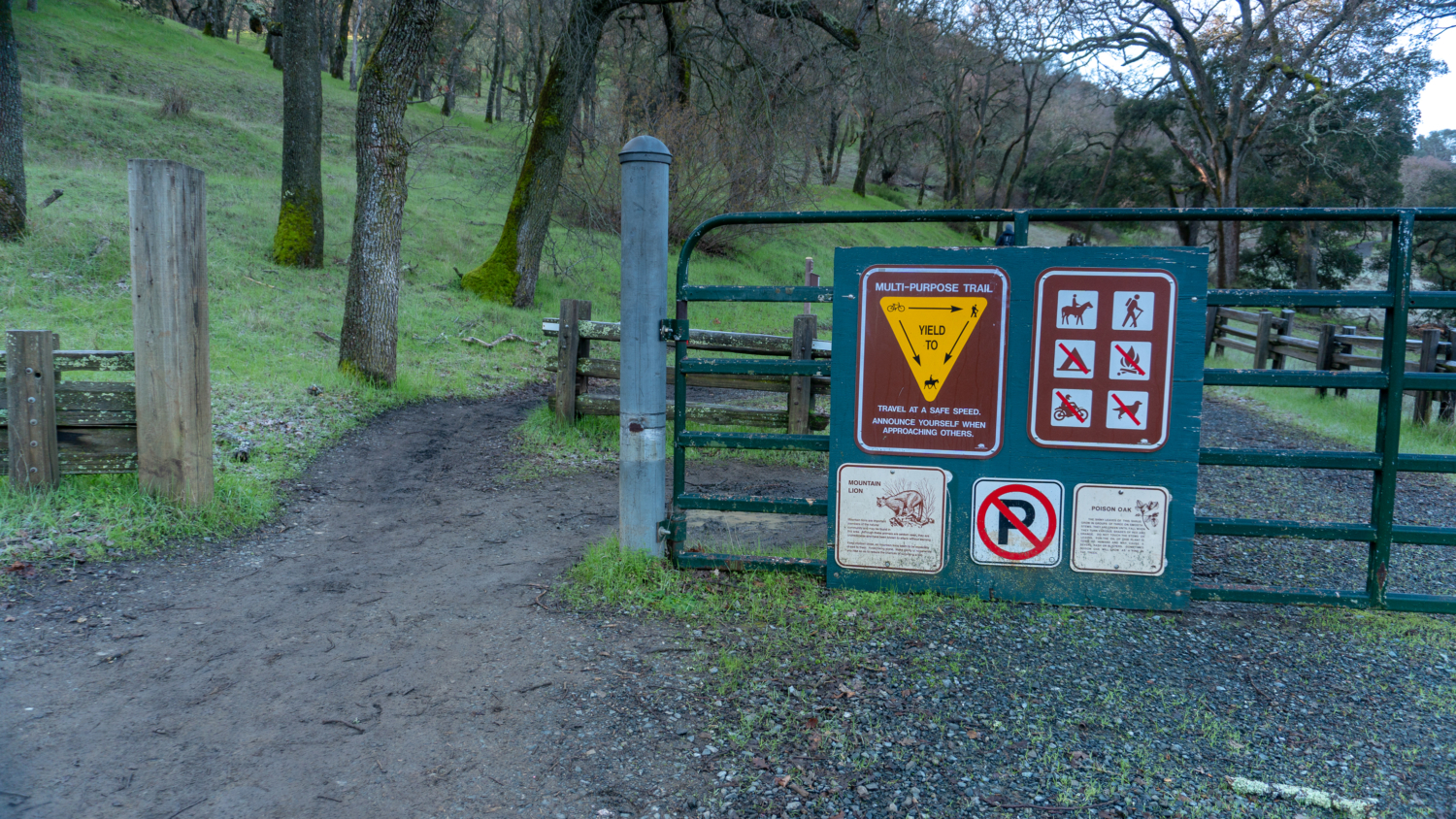
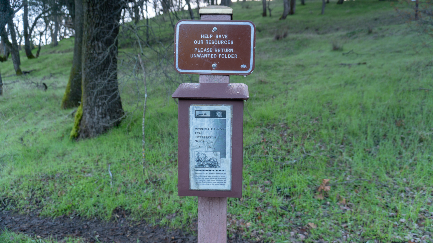
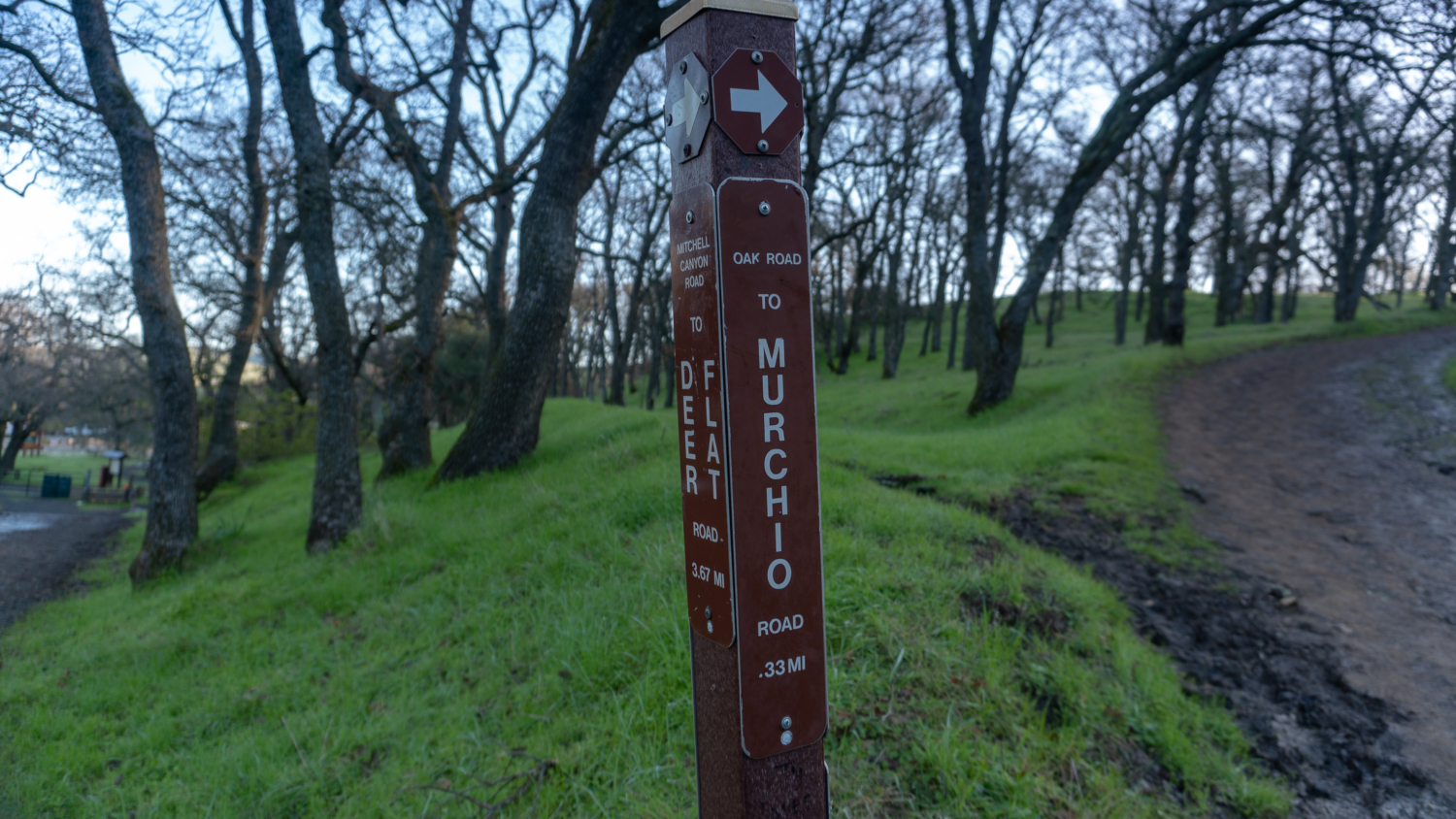
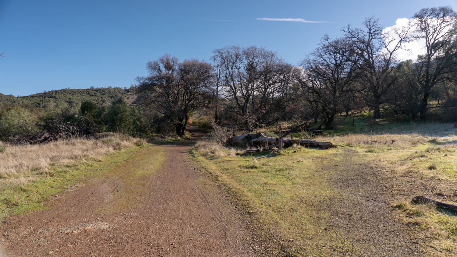
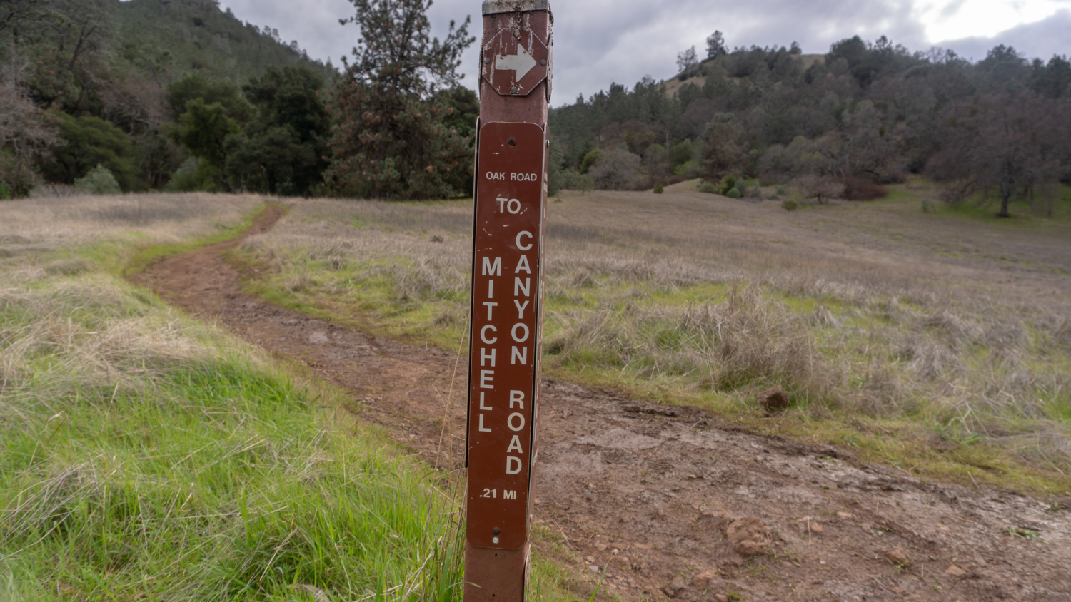
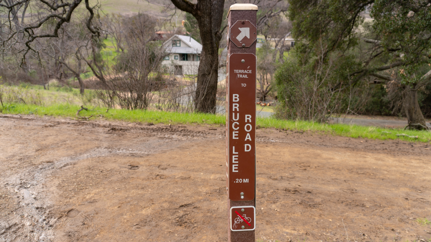
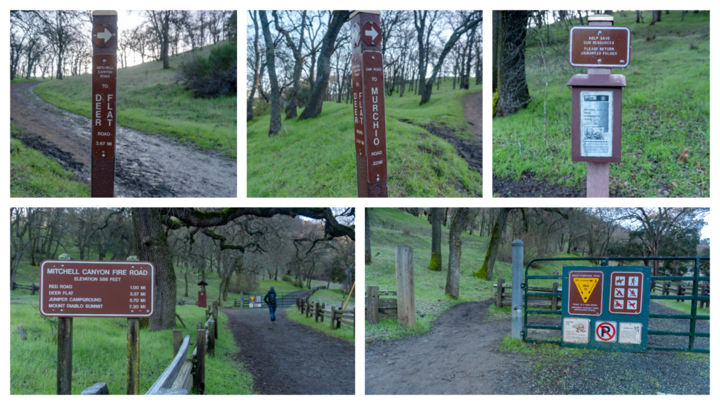
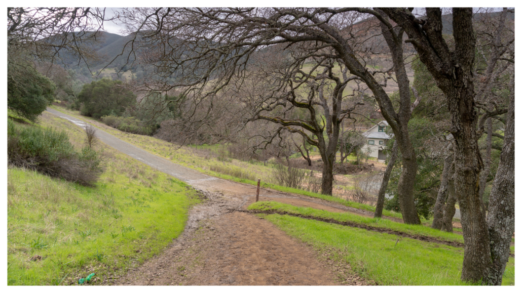
Start your hike from the Mitchell Canyon Trailhead, heading southwest on Mitchell Canyon Road. On your left, pick up a Mitchell Canyon Trail Interpretive Guide, corresponding to signposts along the trail for the first mile. Also on your left is a junction for Oak Road. If you were to do the loop clockwise, you would turn left here and then make your first right onto Mitchell Rock Trail in 0.25 mile.
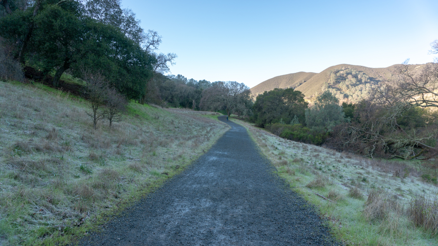
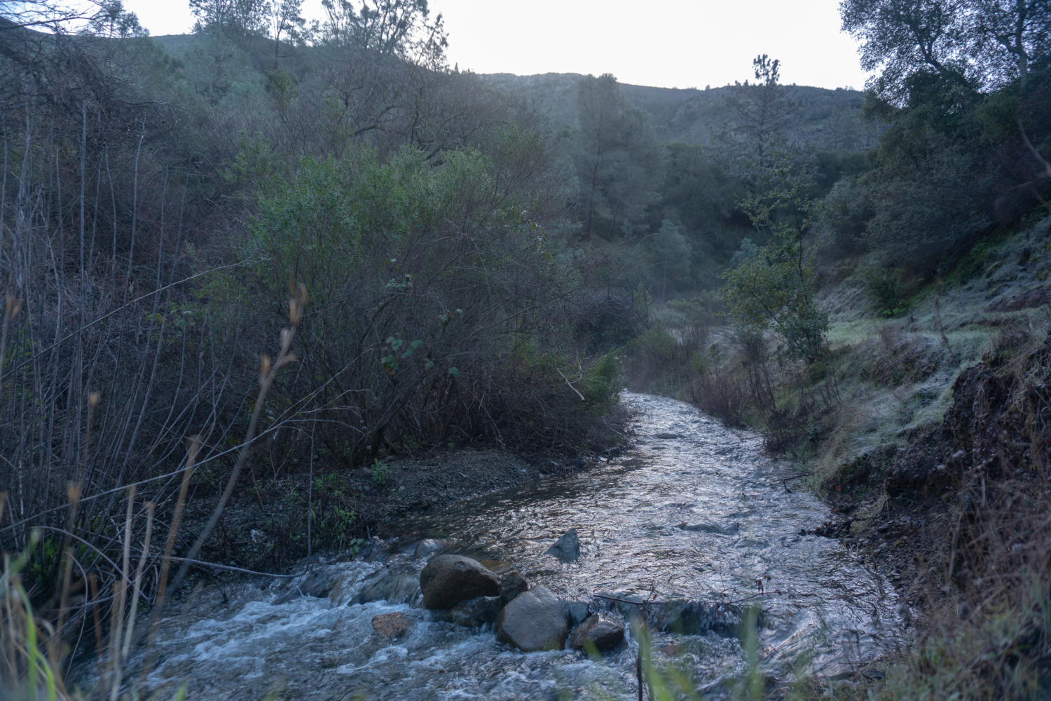
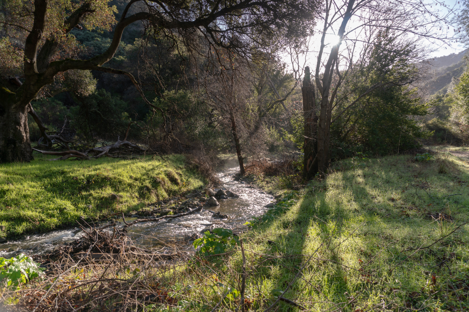
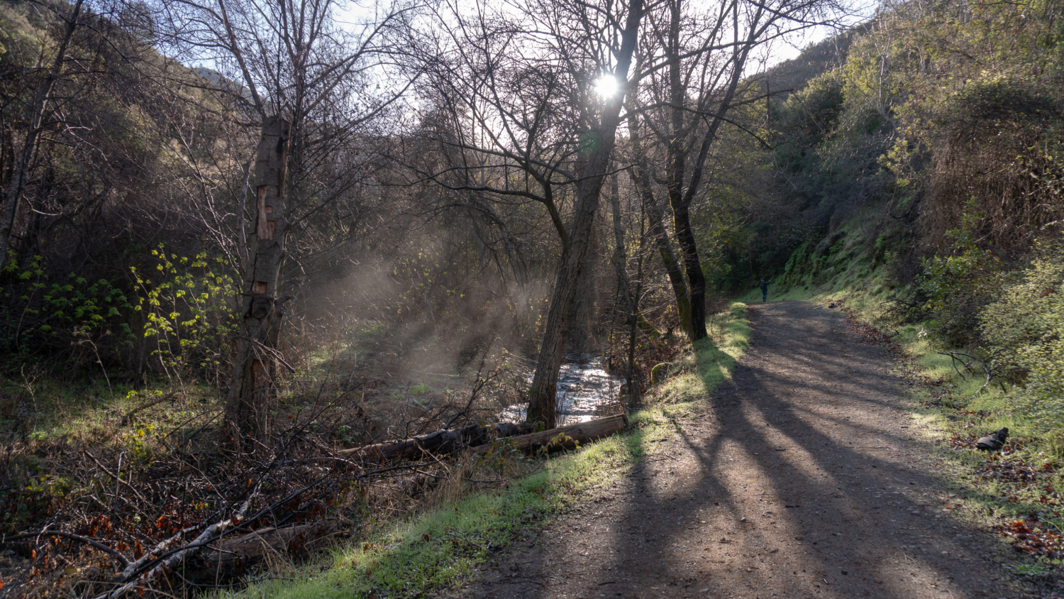
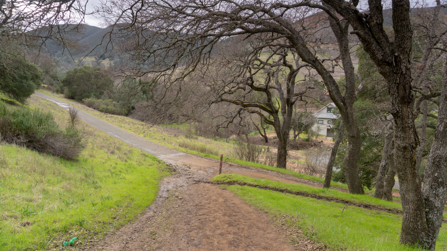
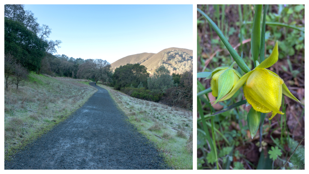
The trail stays mostly flat for the first two miles next to Mitchell Creek and grassy hillsides with blue oak and coast live oak. Mount Diablo Globe Lilies bloom along the trail in springtime, a near endemic species to Mount Diablo. California Buckeye, an endemic species to California (meaning it’s only found here) and favorite of butterflies, blooms from early May to late June.
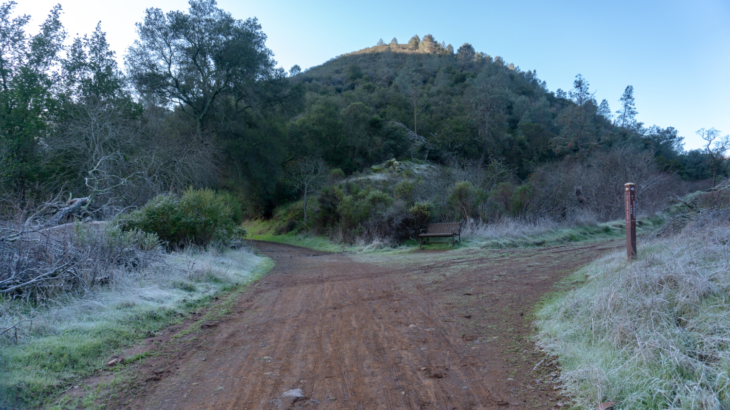
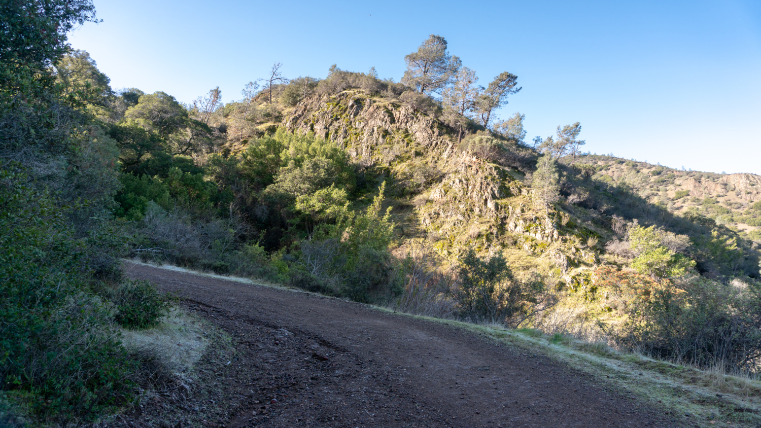
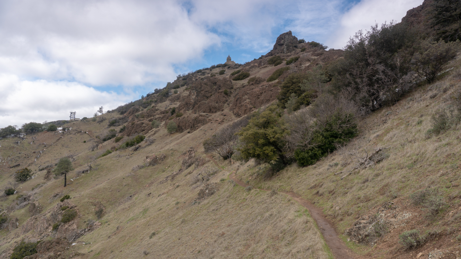
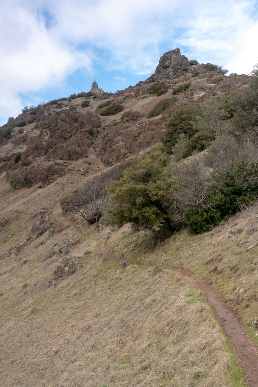
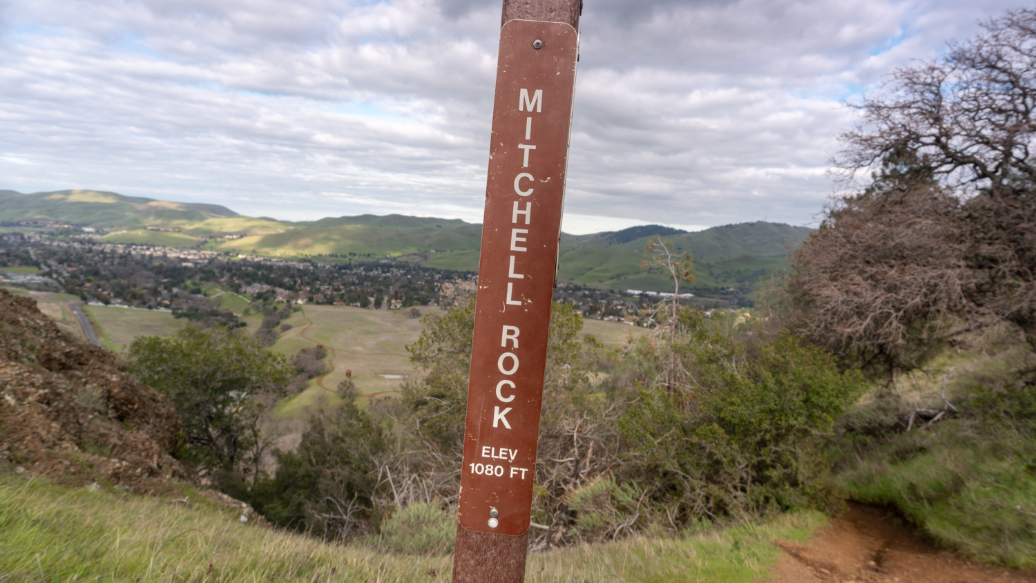
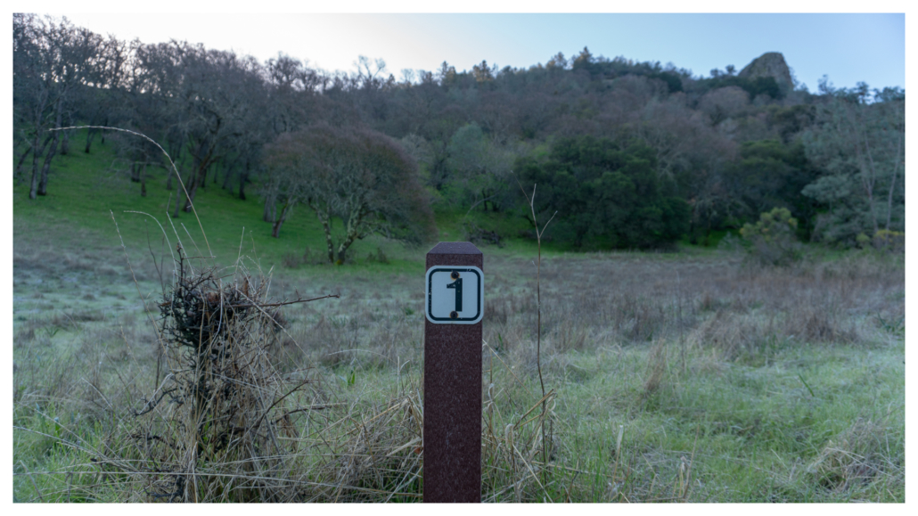
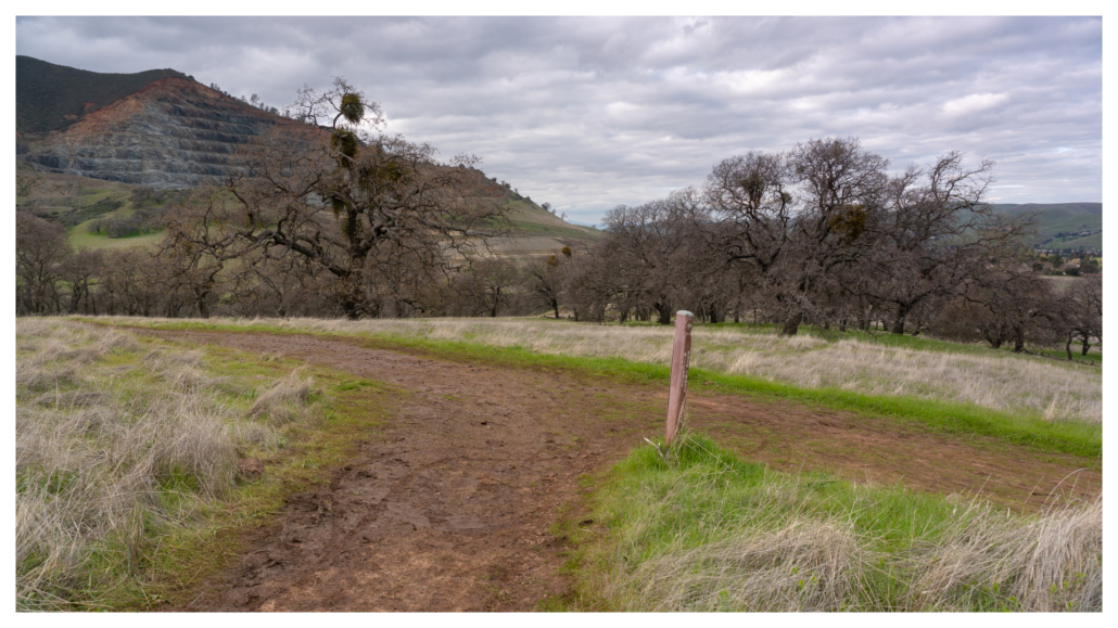
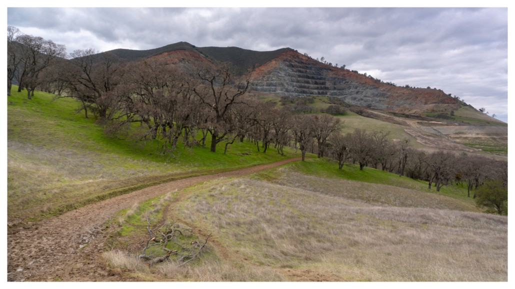
At the first signpost along Mitchell Canyon Road, look up to see Mitchell Rock overhead. The jutting rock to the right is composed of pillow basalt, created from lava that erupted into the Pacific Ocean during the Jurassic period over 100 million years ago. You’ll have the chance to see it up close when you pass by it at the end of the hike.
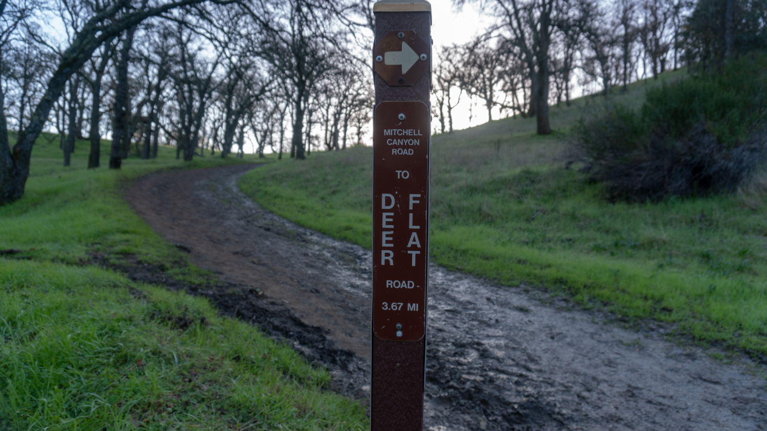
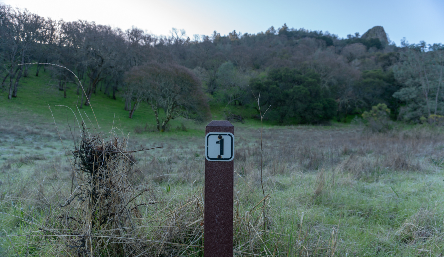
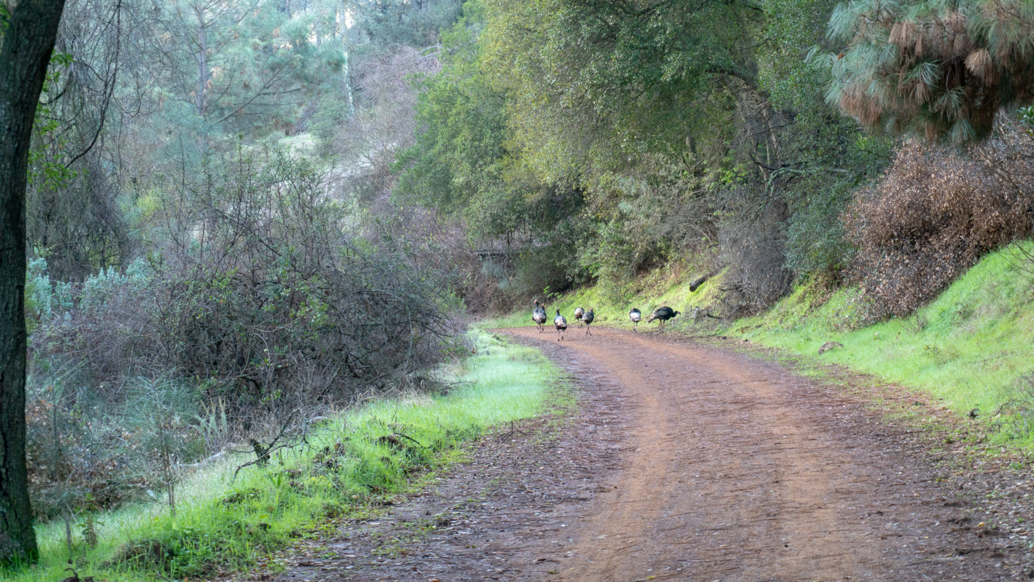
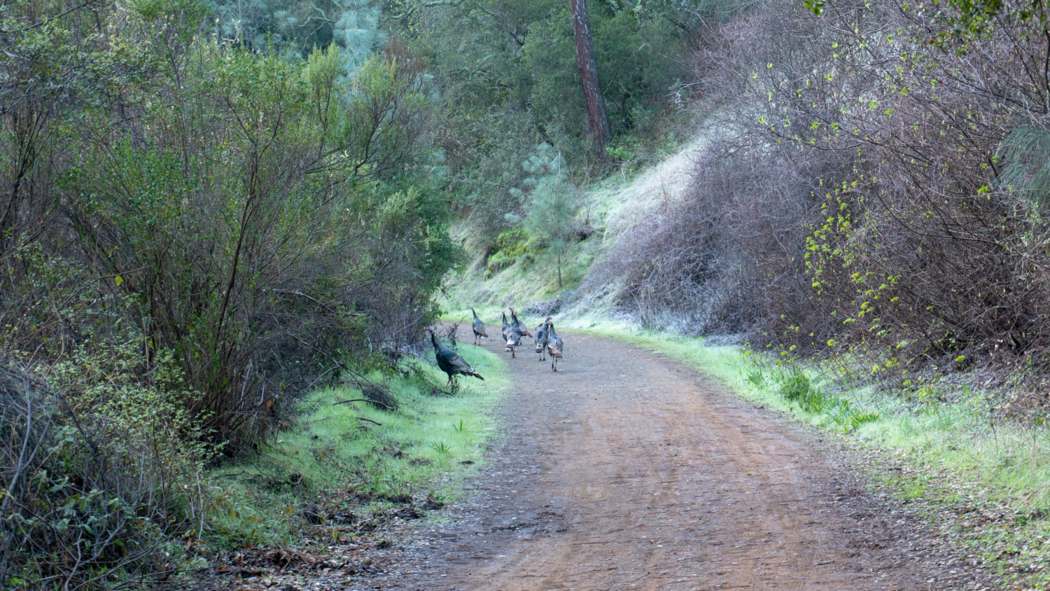
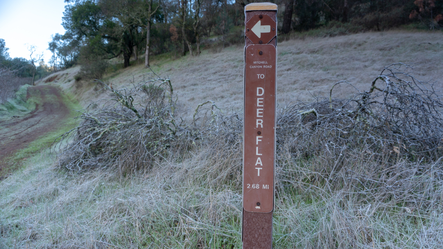
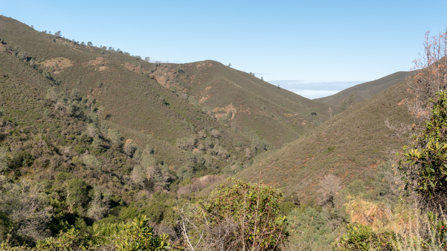
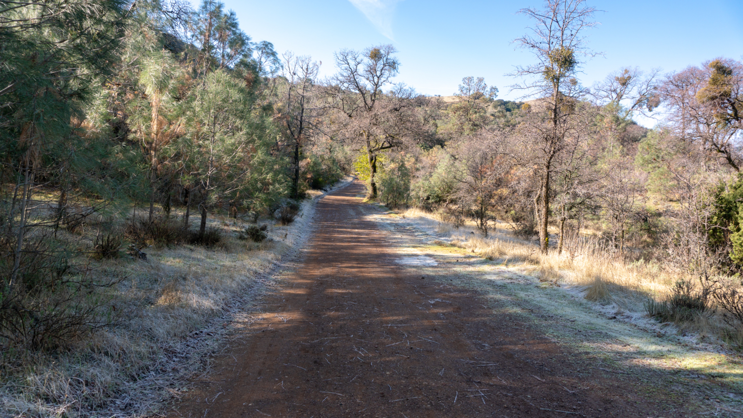
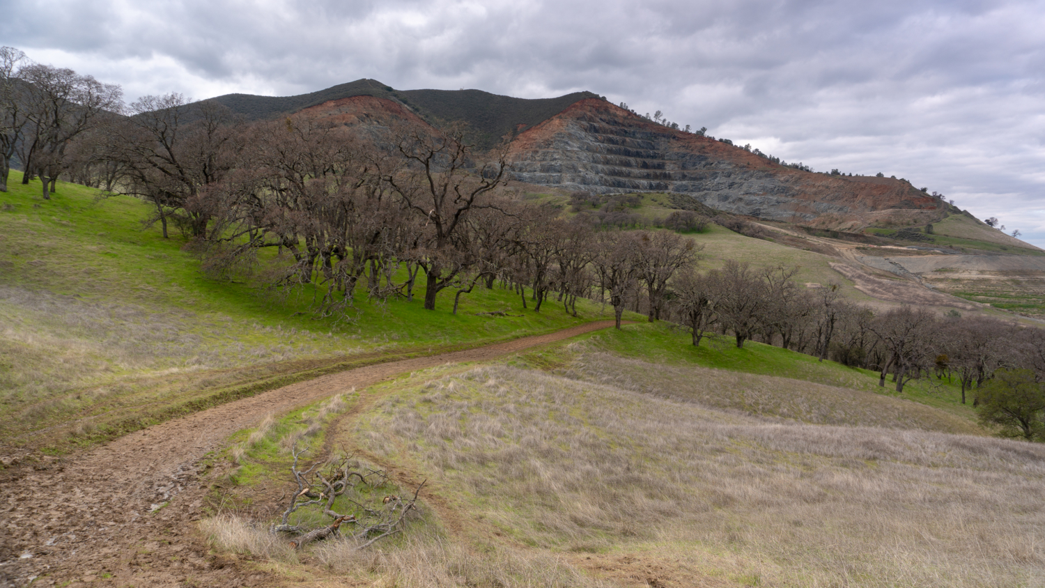
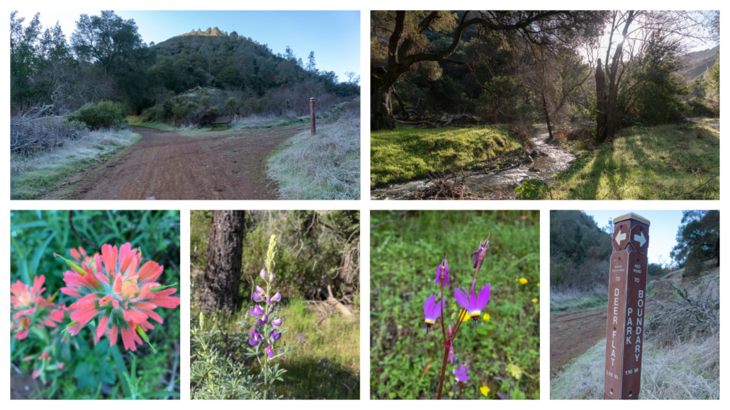
At the 1.0-mile mark, pass a junction with the Red Road on your right, continuing south on Mitchell Canyon Road towards Deer Flat. Mitchell Creek shifts to your left-hand side as you transition out of the thicket of streamside plants and into the chaparral-covered slopes of Mitchell Canyon. After the 2.0-mile mark, Mitchell Canyon Road begins climbing in earnest, gaining 1200 feet over the next 1.9 miles. Lupine, Indian paintbrush, and shooting star are usually visible on this part of the route in spring.
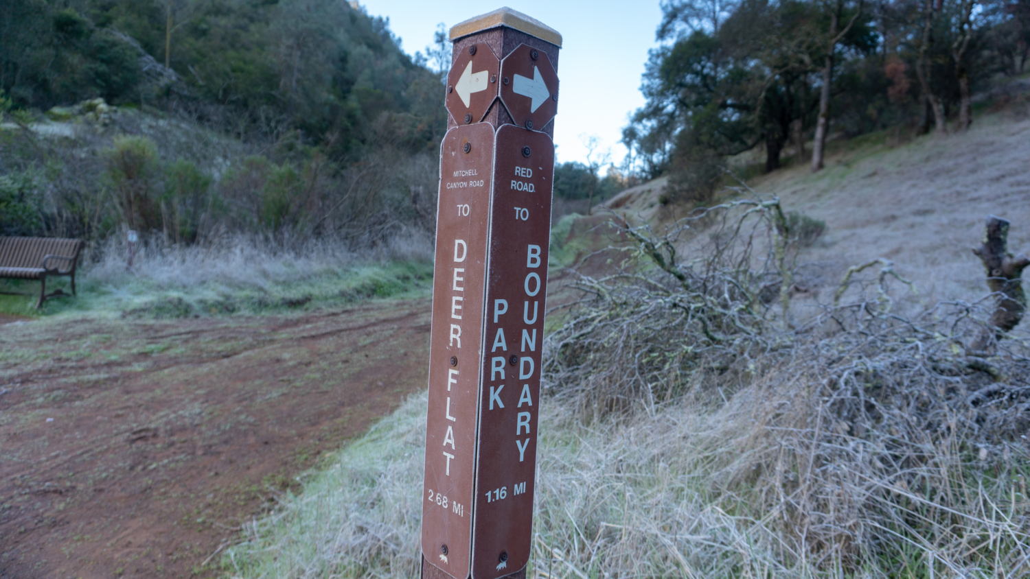
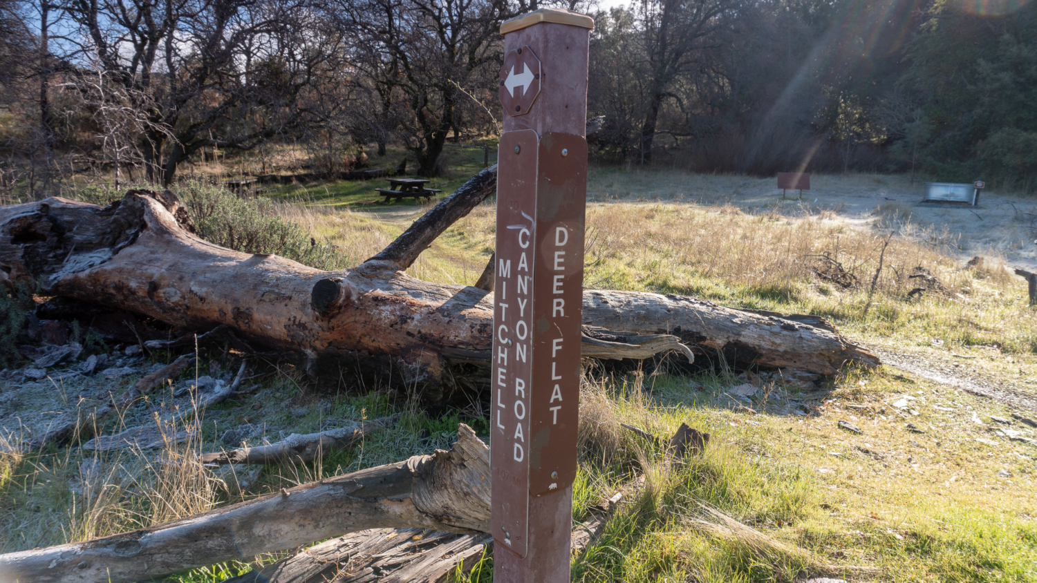
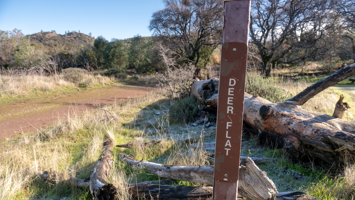
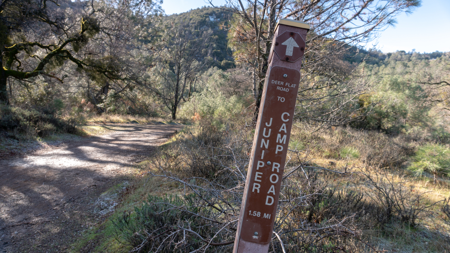
At the 3.9 mile-mark, reach Deer Flat and a Y-junction. Bear right at the Y-junction onto Deer Flat Road, heading southwest towards Juniper Campground. On this beautiful stretch you begin to see the fruits of your climbing, with open air views of Eagle Peak (elevation 2,369 feet) coming up to eye level. Bearing left at the Y-junction takes you to Murchio Gap and the Eagle Peak Trail towards Eagle Peak.
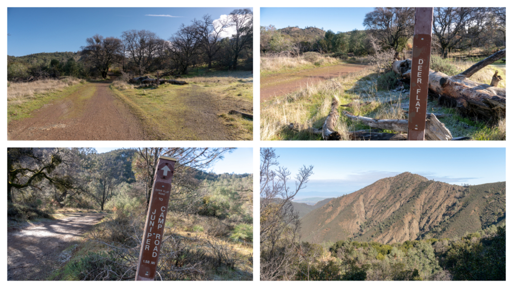
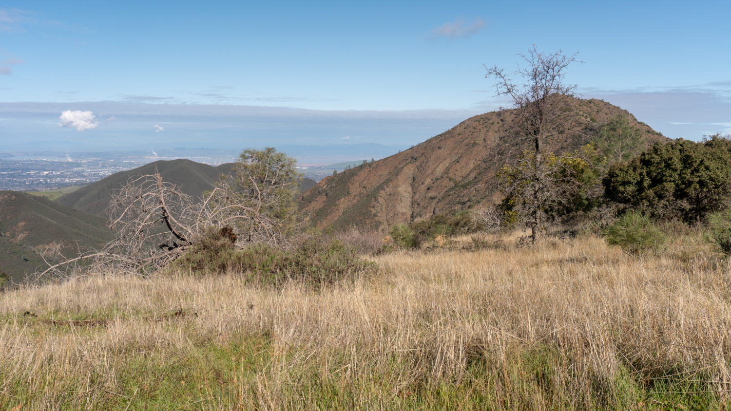
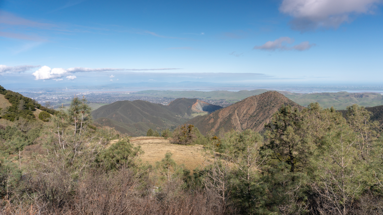
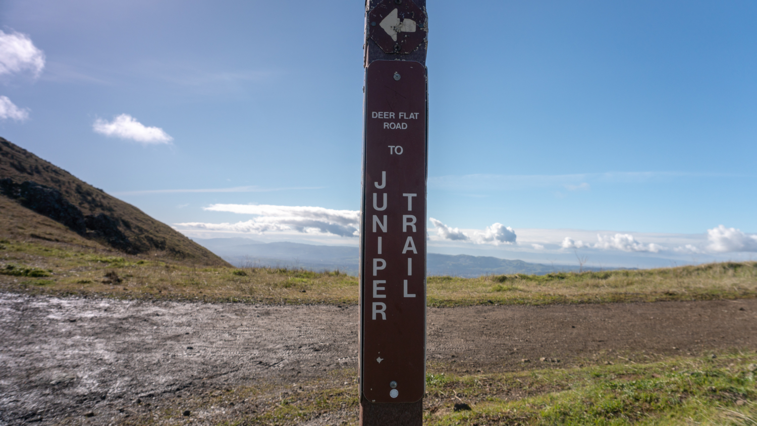
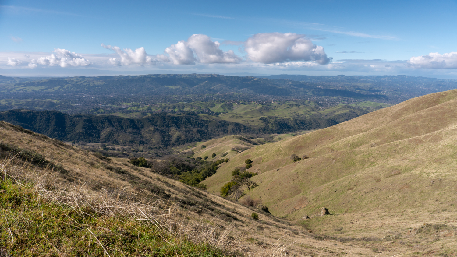
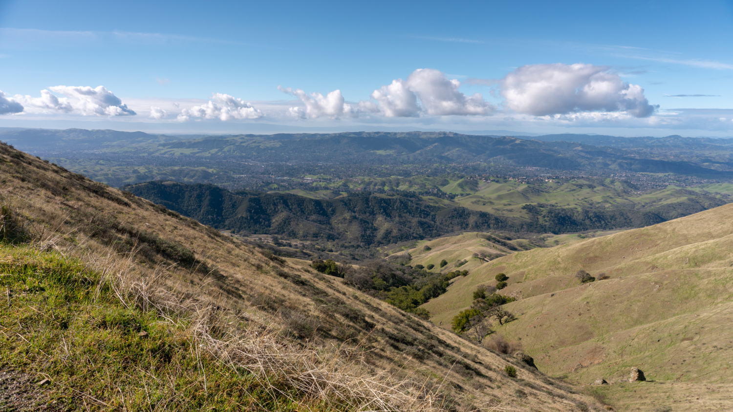
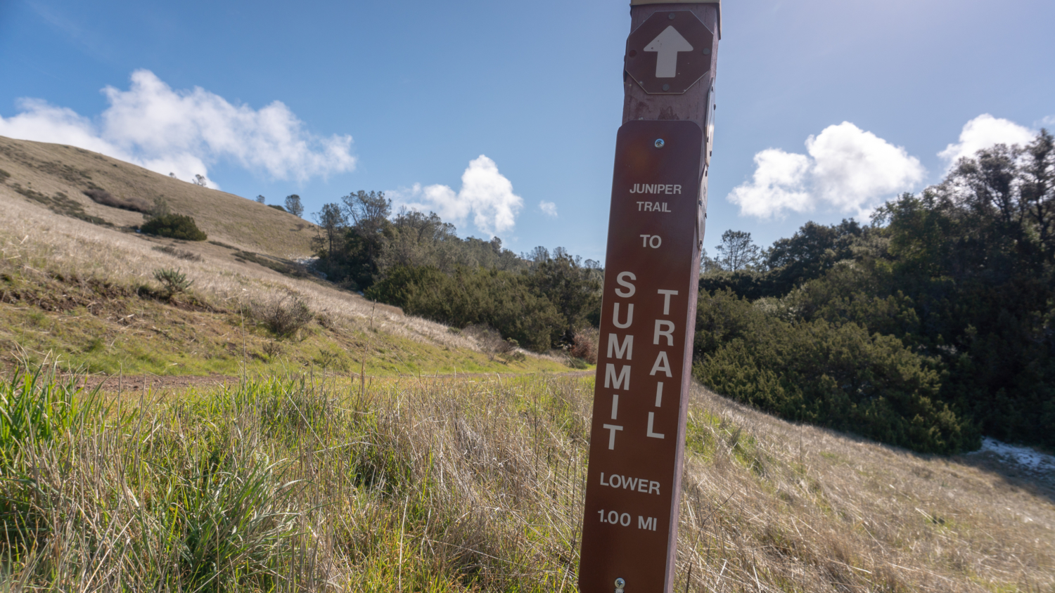
After 1.1 miles, you will bear left at a junction with Burma Road to stay on Deer Flat Road, now heading southeast towards the Juniper Trail. The western foothills of Mount Diablo fold and crease like a paper fan, leading your eyes to Diablo Foothill Regional Park, the East Bay Regional Parks, and the Santa Cruz Mountains in the distance beyond the San Francisco Bay.
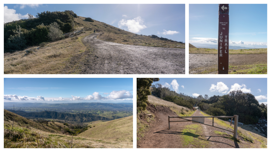
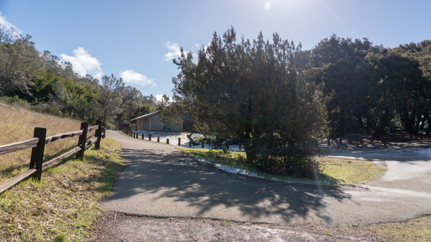
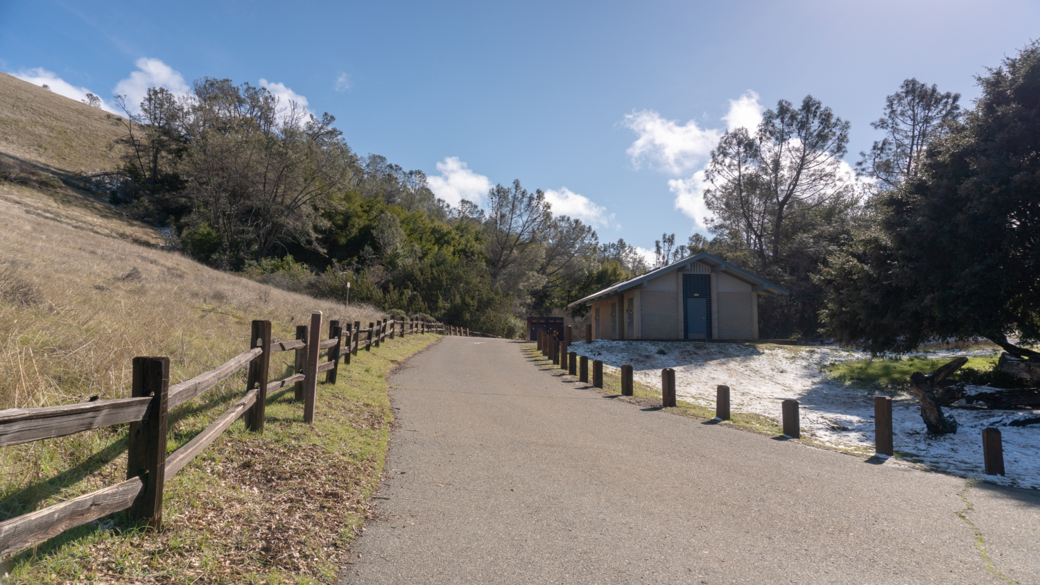
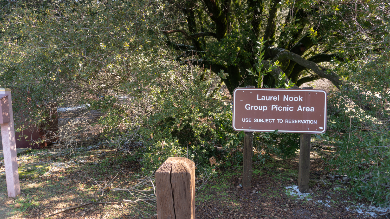
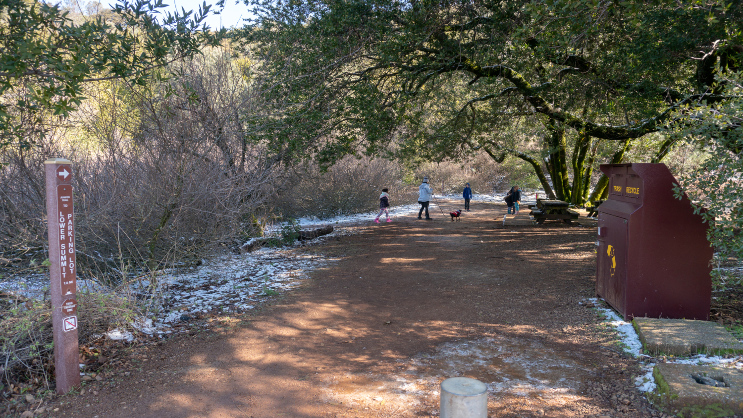
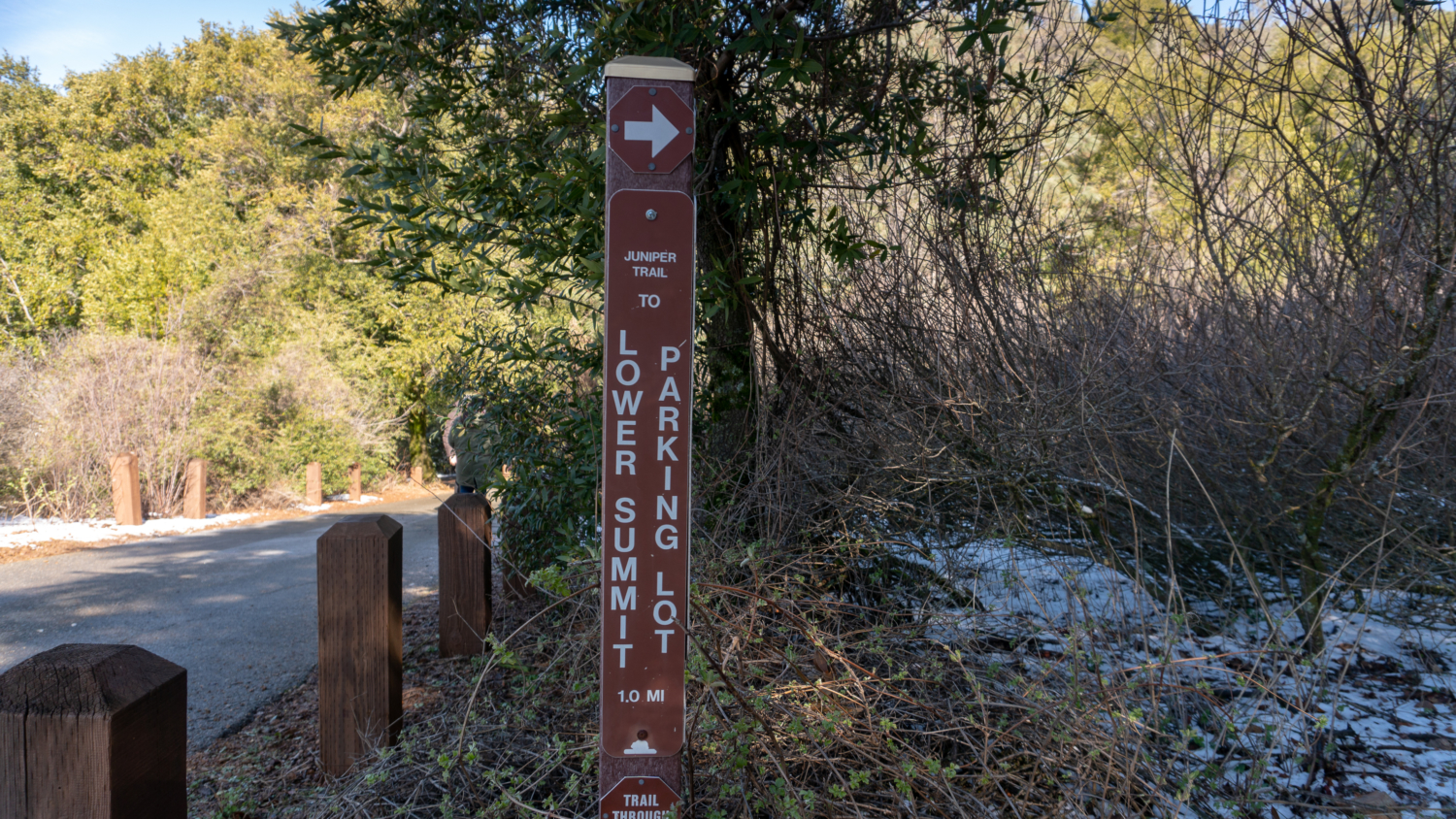
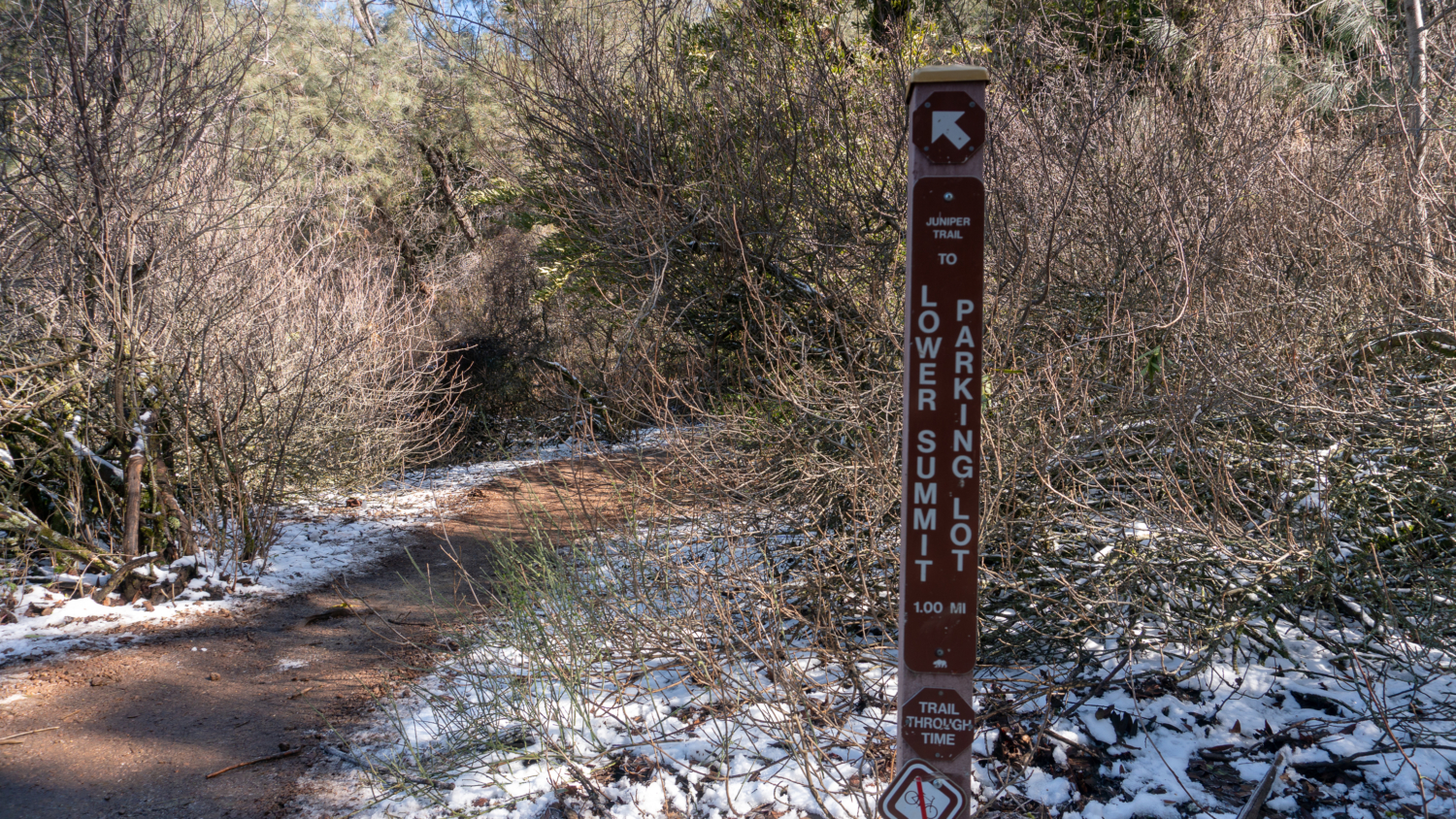
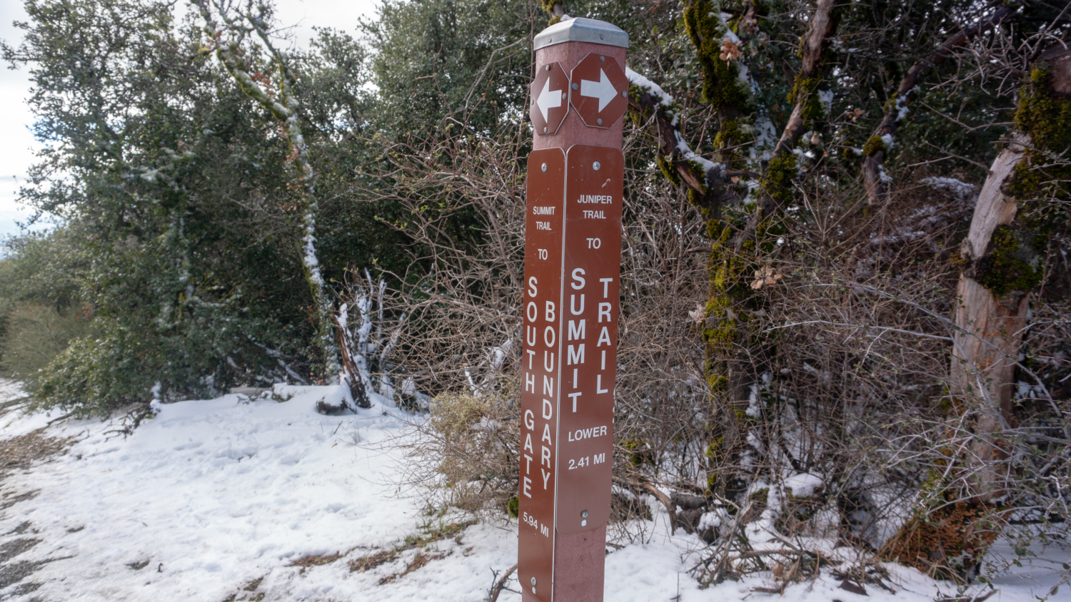
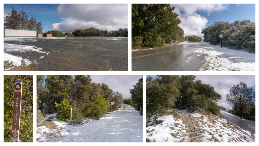
At 5.5-miles, arrive at Juniper Campground, elevation 3,000 feet. Bear left past the restrooms for 0.2 mile to the Laurel Nook Group Picnic Area. Turn left into the picnic area, following signs for the Juniper Trail and Lower Summit Parking Lot. You may see families gathered here exploring the area and beginning the 3.0-mile round-trip family-friendly trek to the summit. There’s parking nearby at the hairpin turn on Summit Road, just southeast of the campground, for this shorter option.
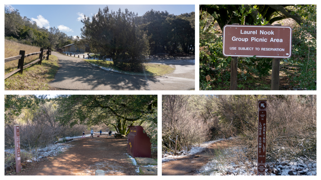
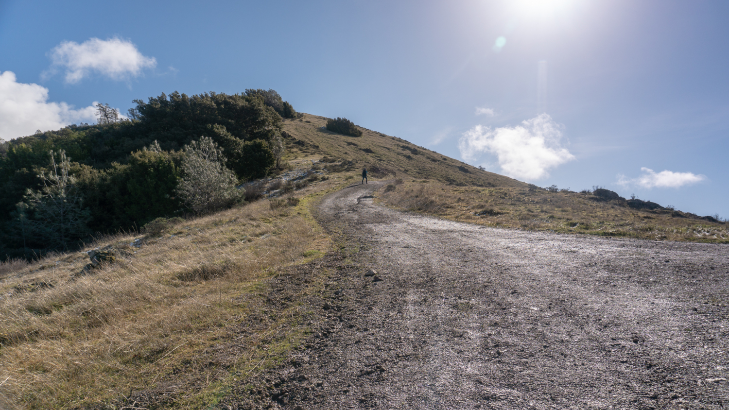
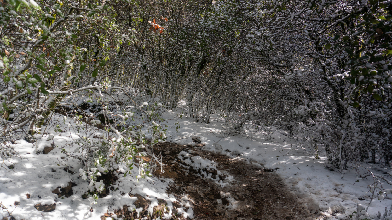
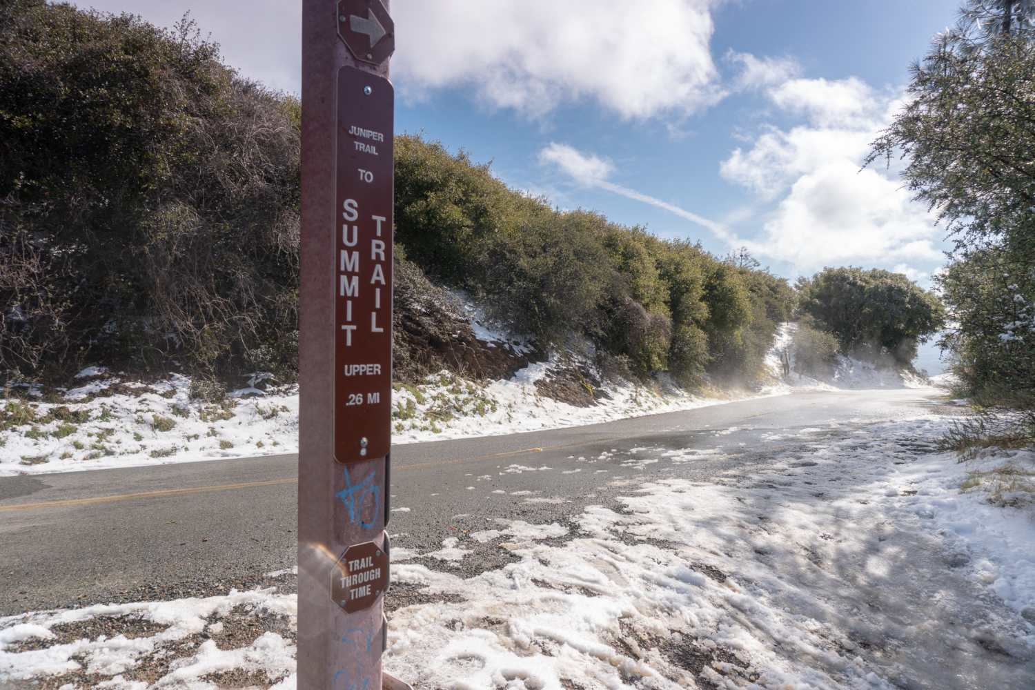
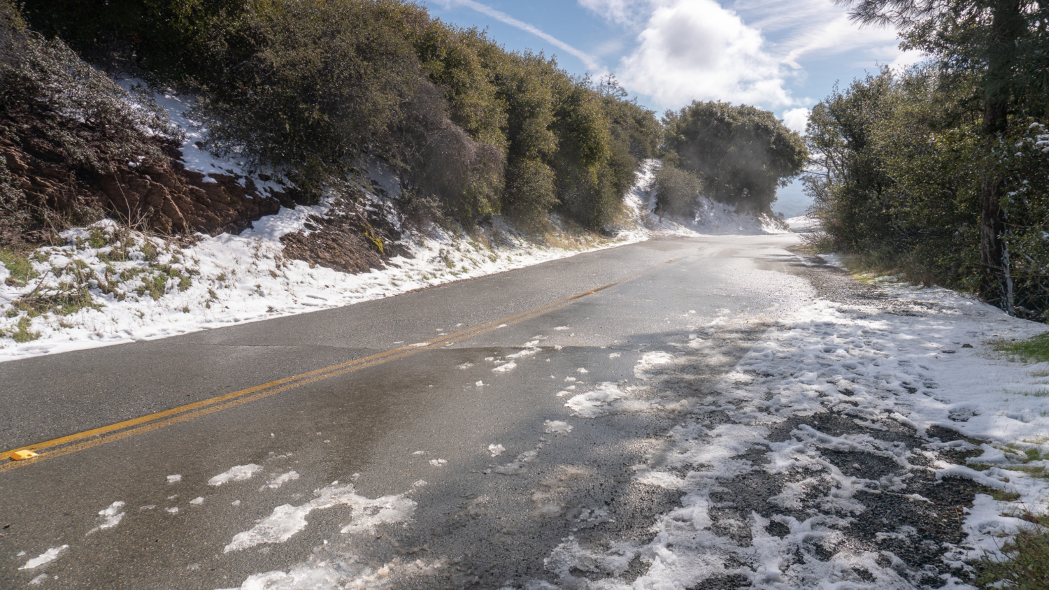
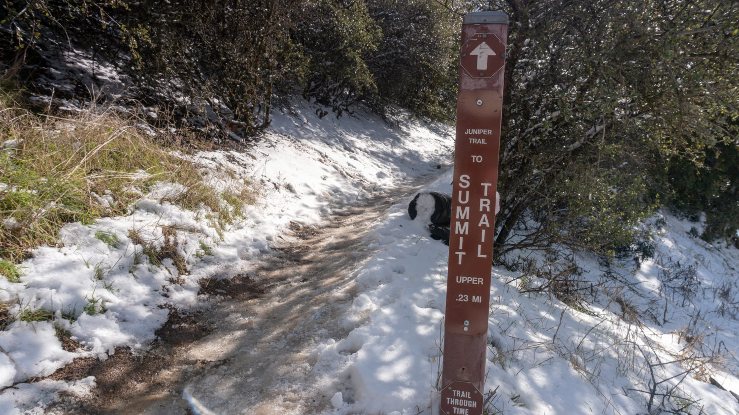
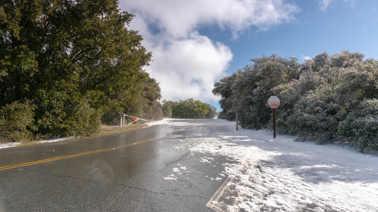
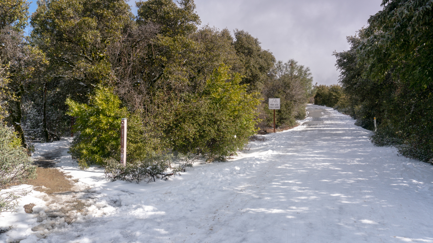
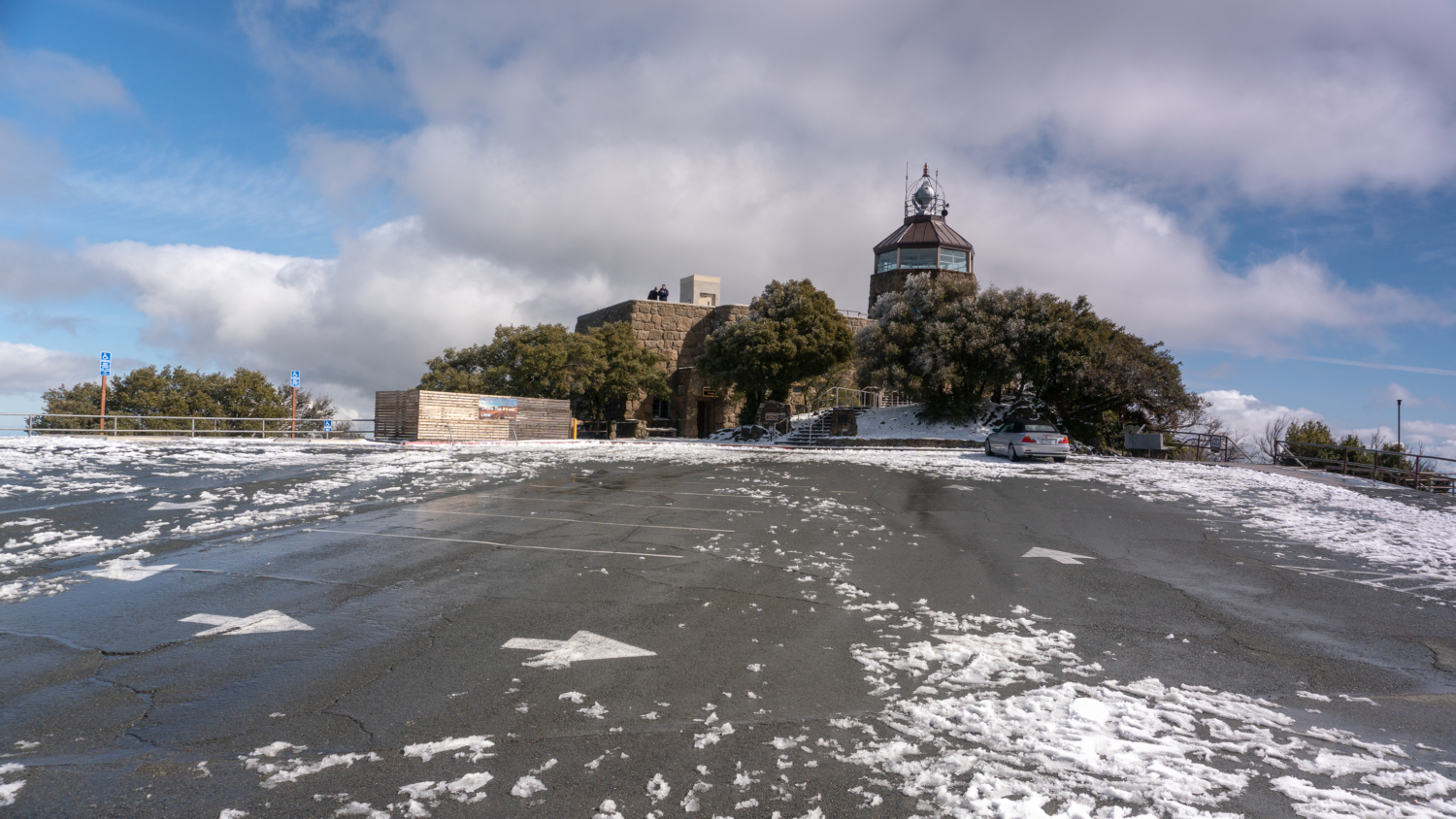
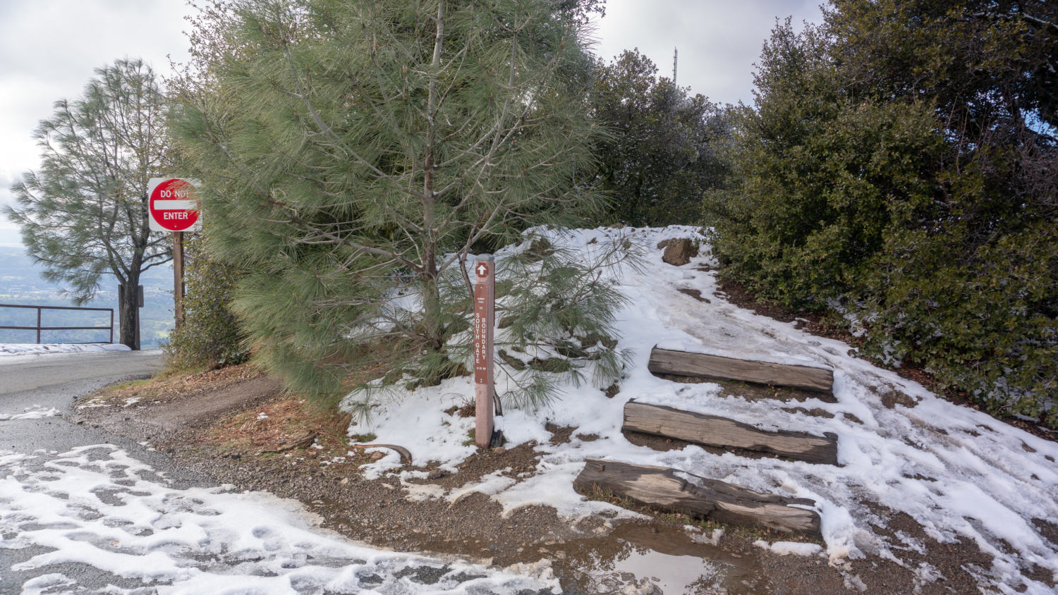
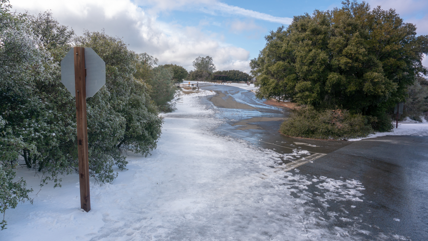
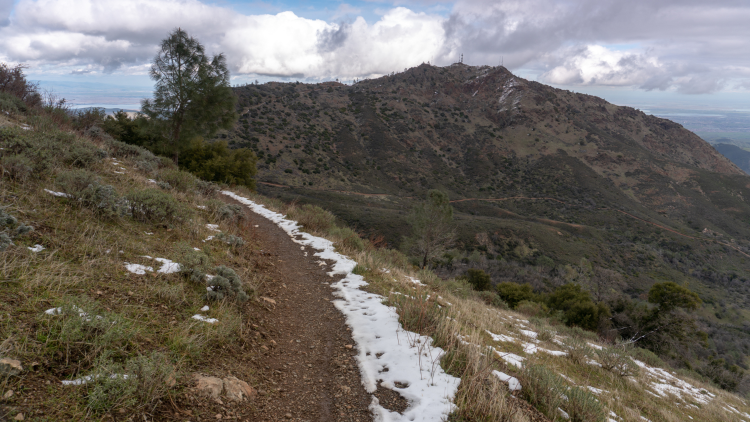
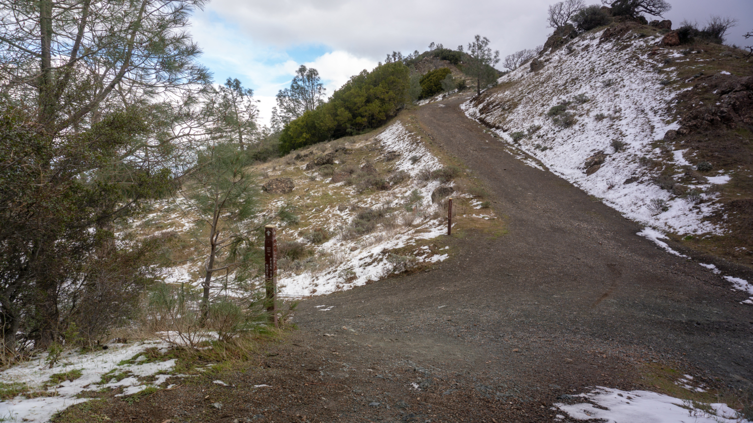
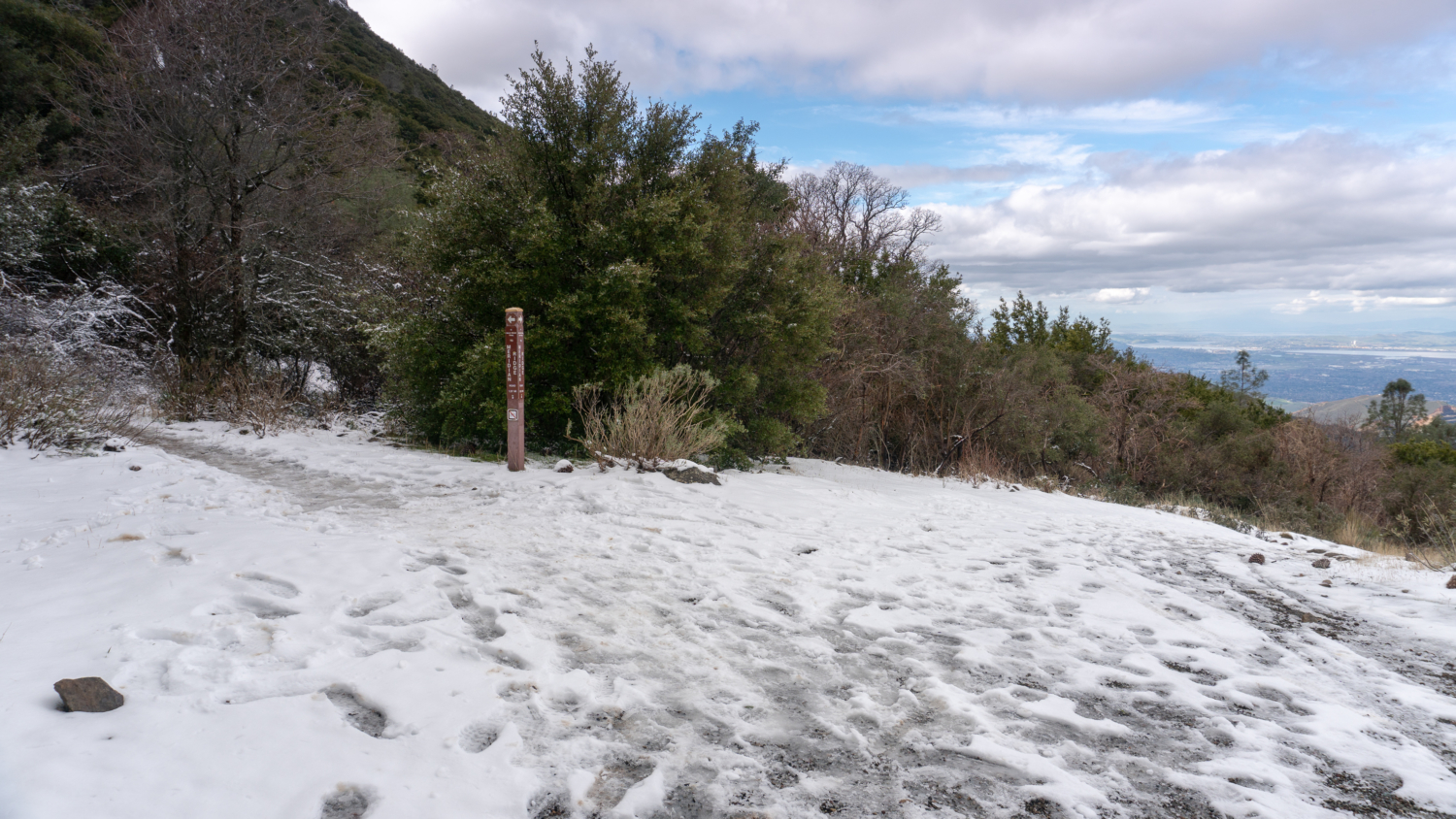
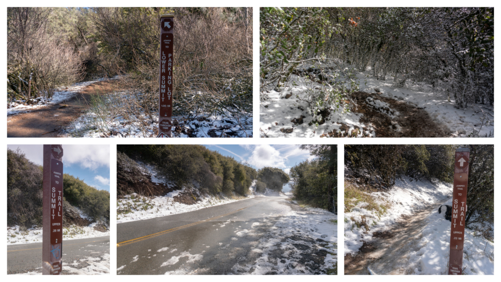
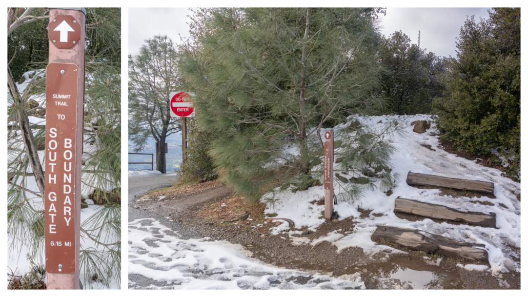
Pick up the Juniper Trail at the back of the Laurel Nook Picnic Area and hike east among chaparral, rocky outcrops, and views of the East Bay Wilderness. After 0.9 miles, carefully cross Summit Road to continue on the Juniper Trail on the other side, continuing 0.2 miles northeast towards the Summit Trail and Lower Summit Parking Lot. As you can see, the mountain does get occasional snow in winter, which can make trails icy and slippery. It’s always a good idea to call the park for trail conditions when the Bay Area does get snow, so you can pack your winter gear if need be.
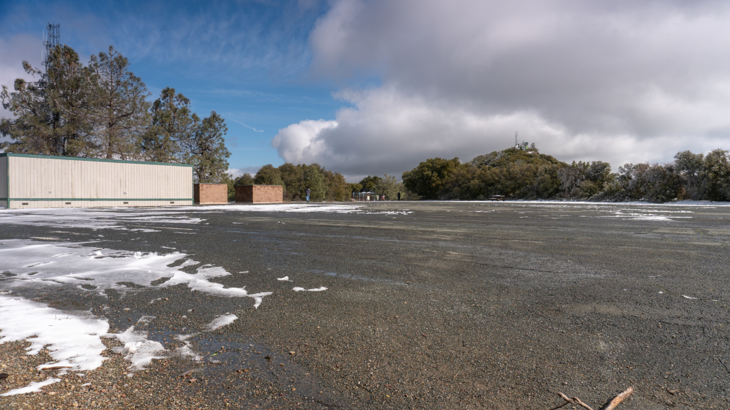
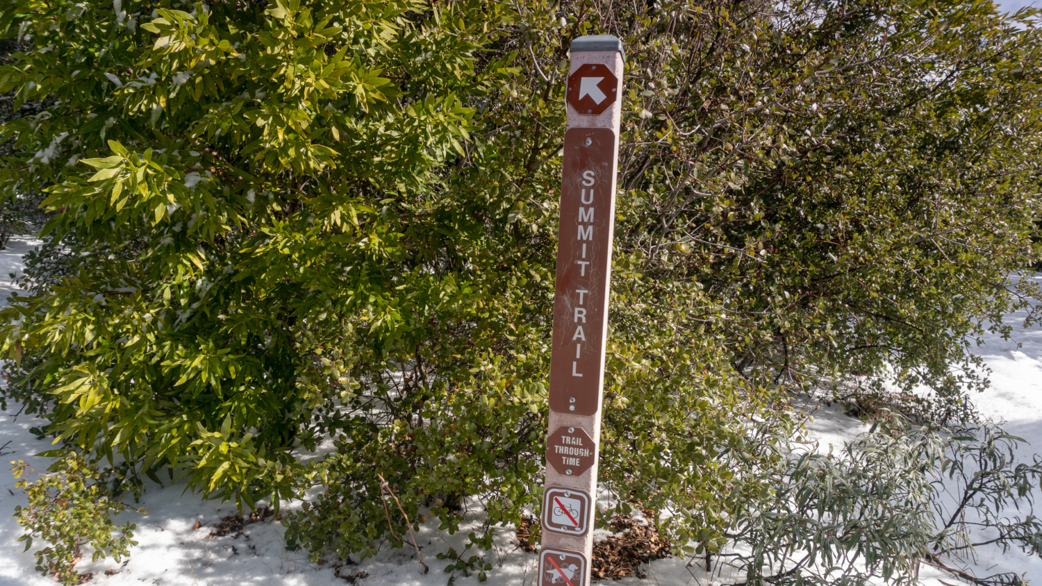
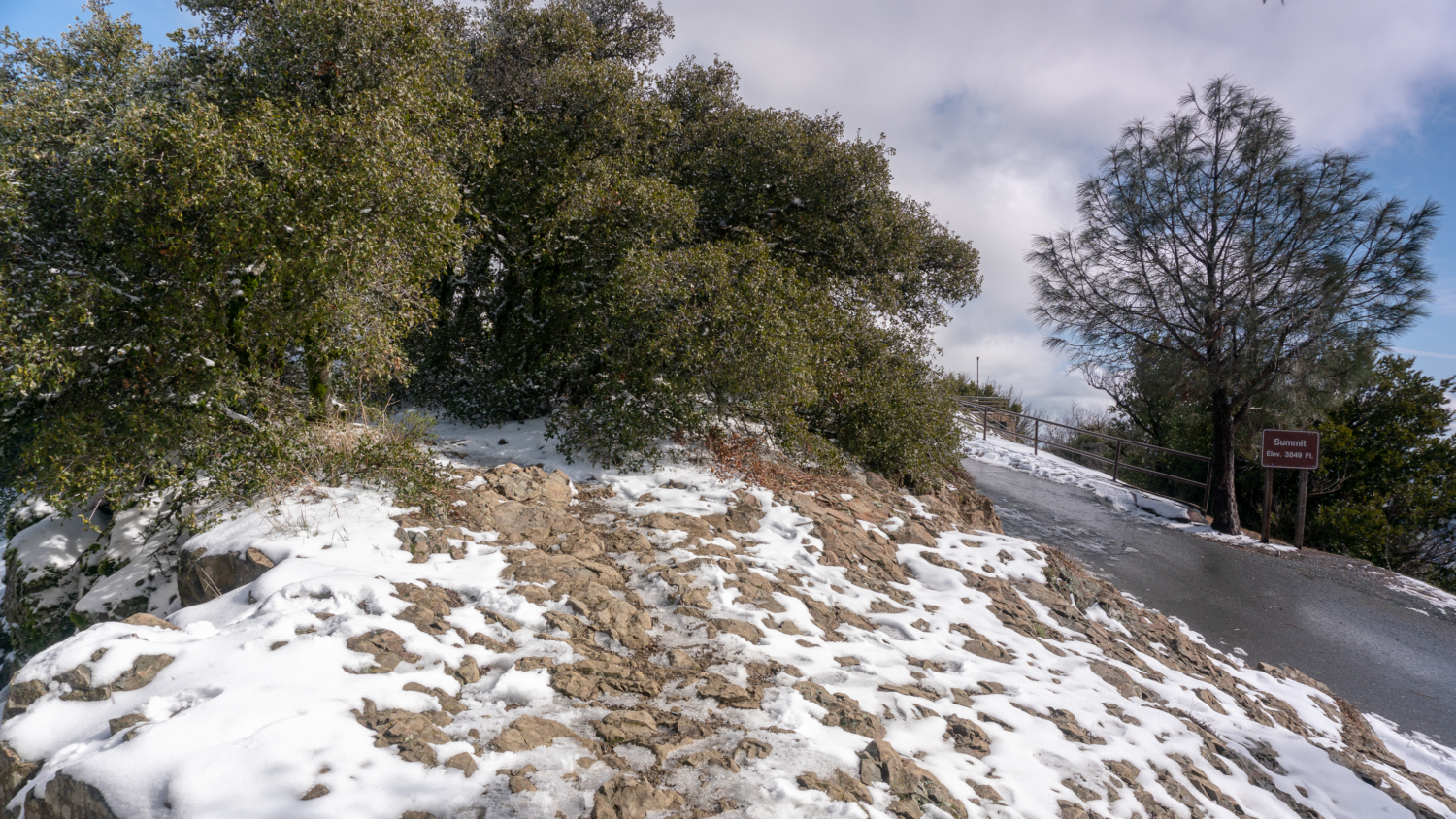
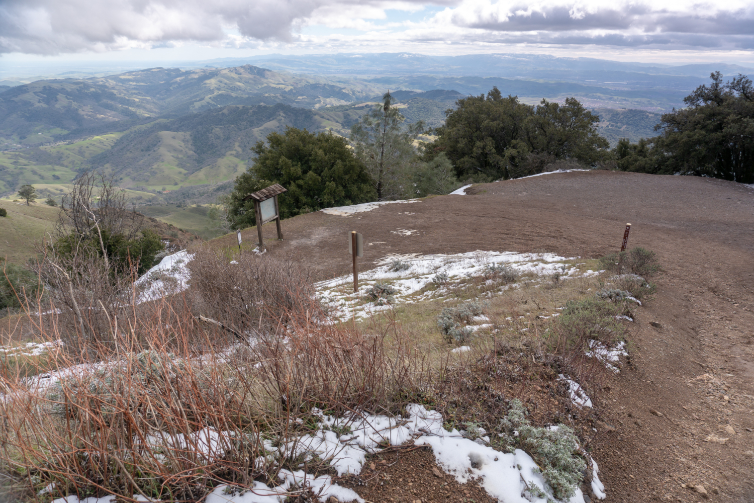
Arrive at the Lower Summit Parking Lot at the 6.8-mile mark, also known as the overflow lot. Hike across it to pick up the Summit Trail towards the Summit Visitor Center. The Summit Trail climbs the spine of a craggy median between the one-way, circular Summit Road, ending at the Summit Parking Lot at the 7.2-mile mark.
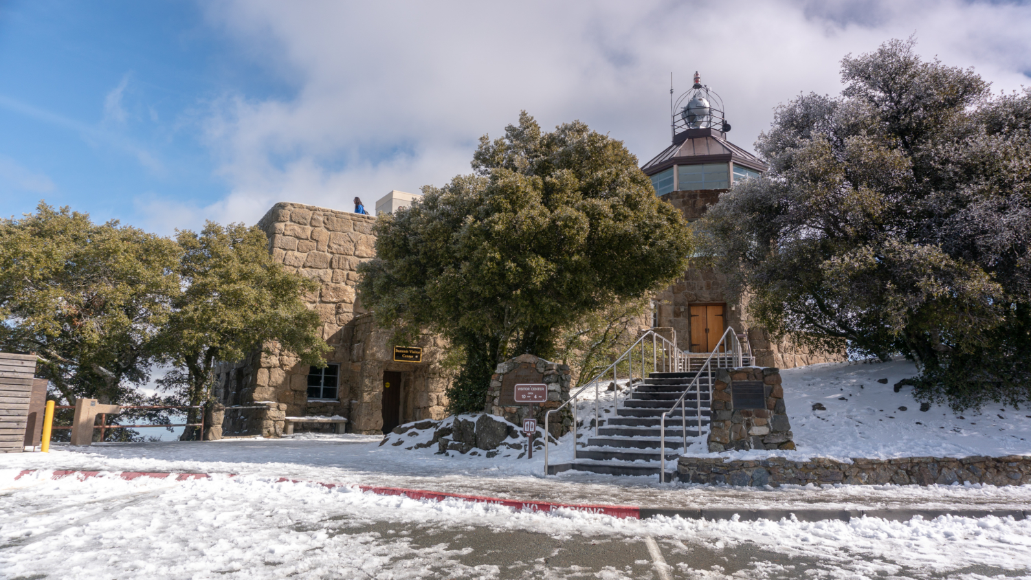
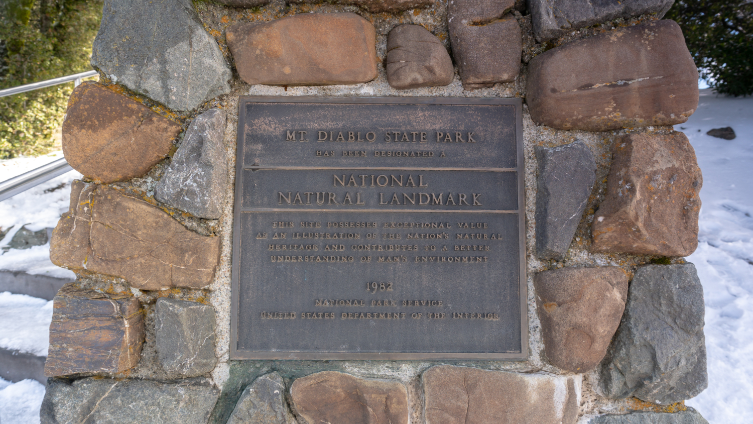
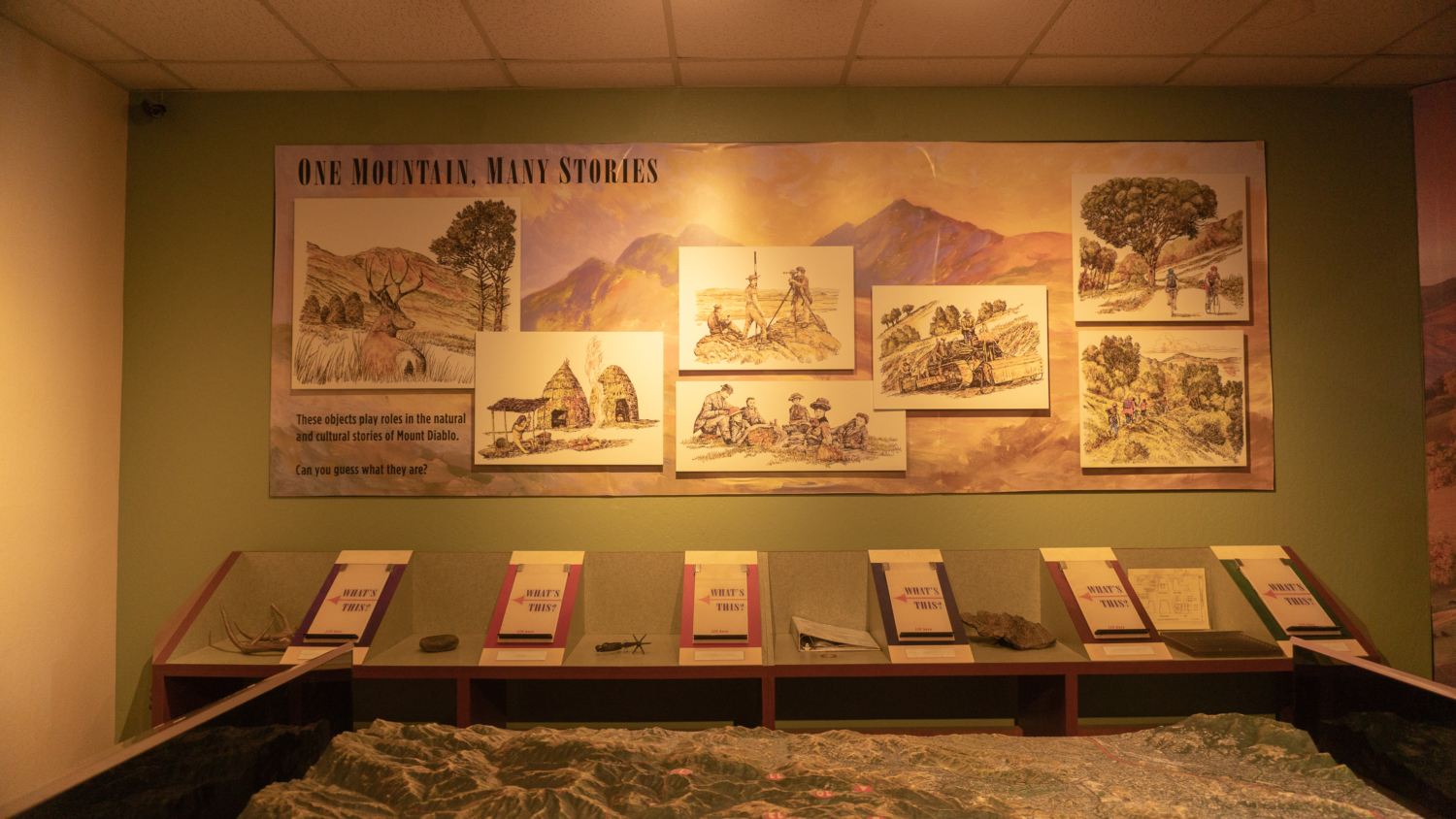
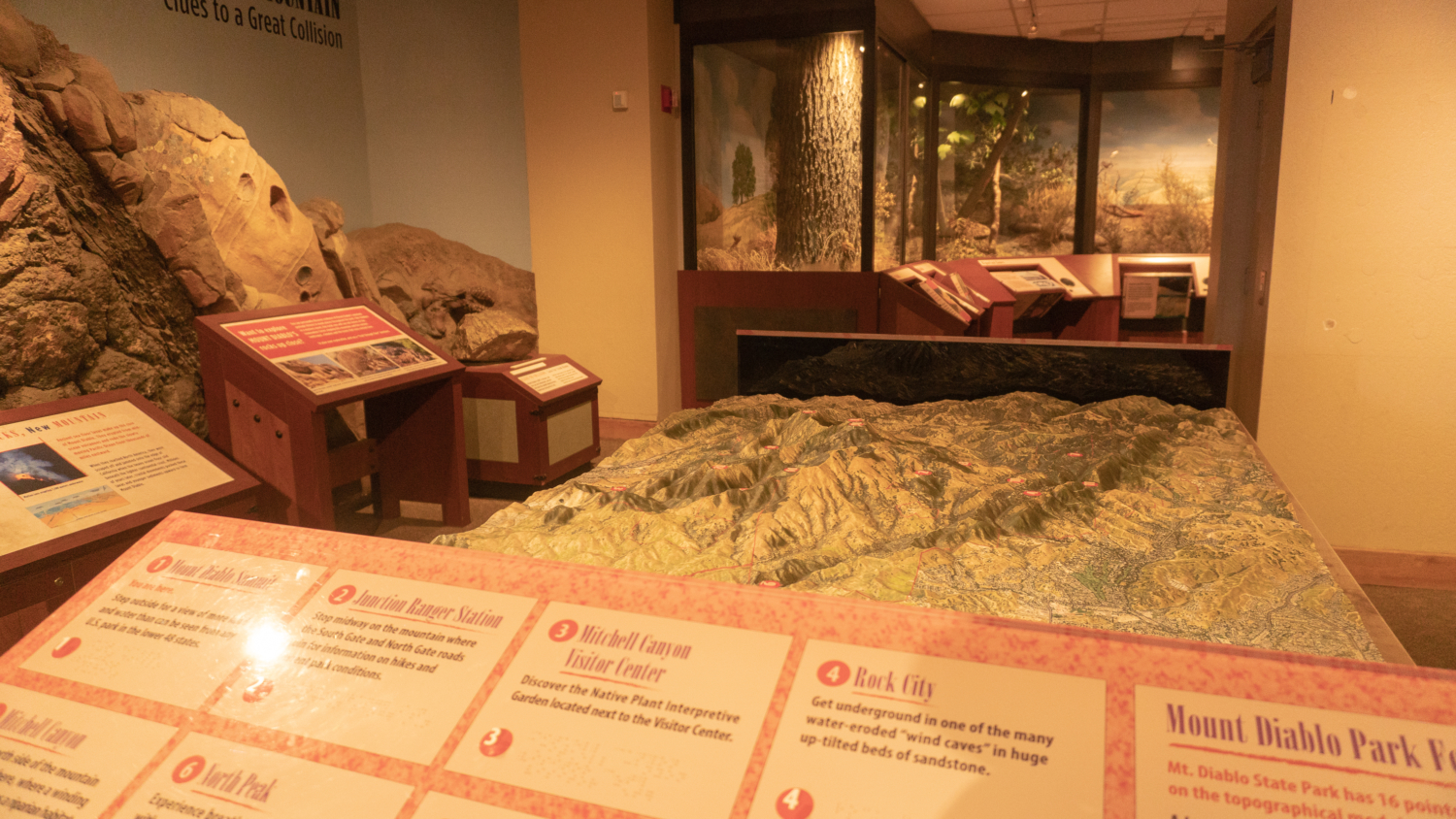
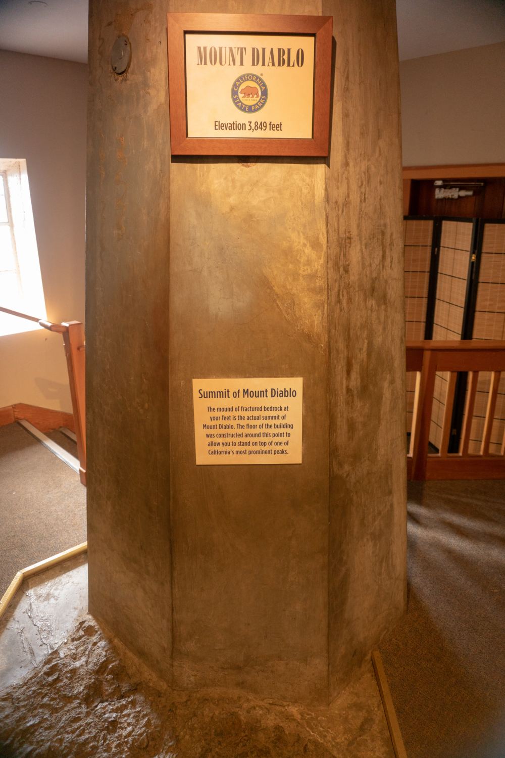
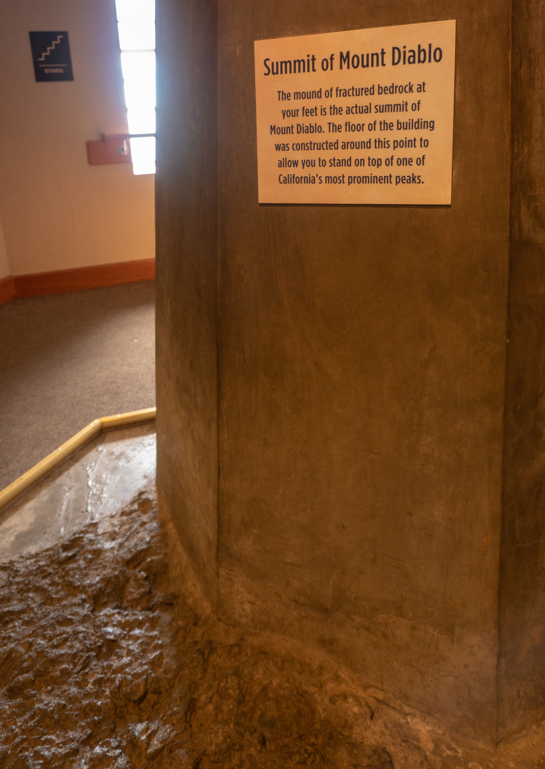
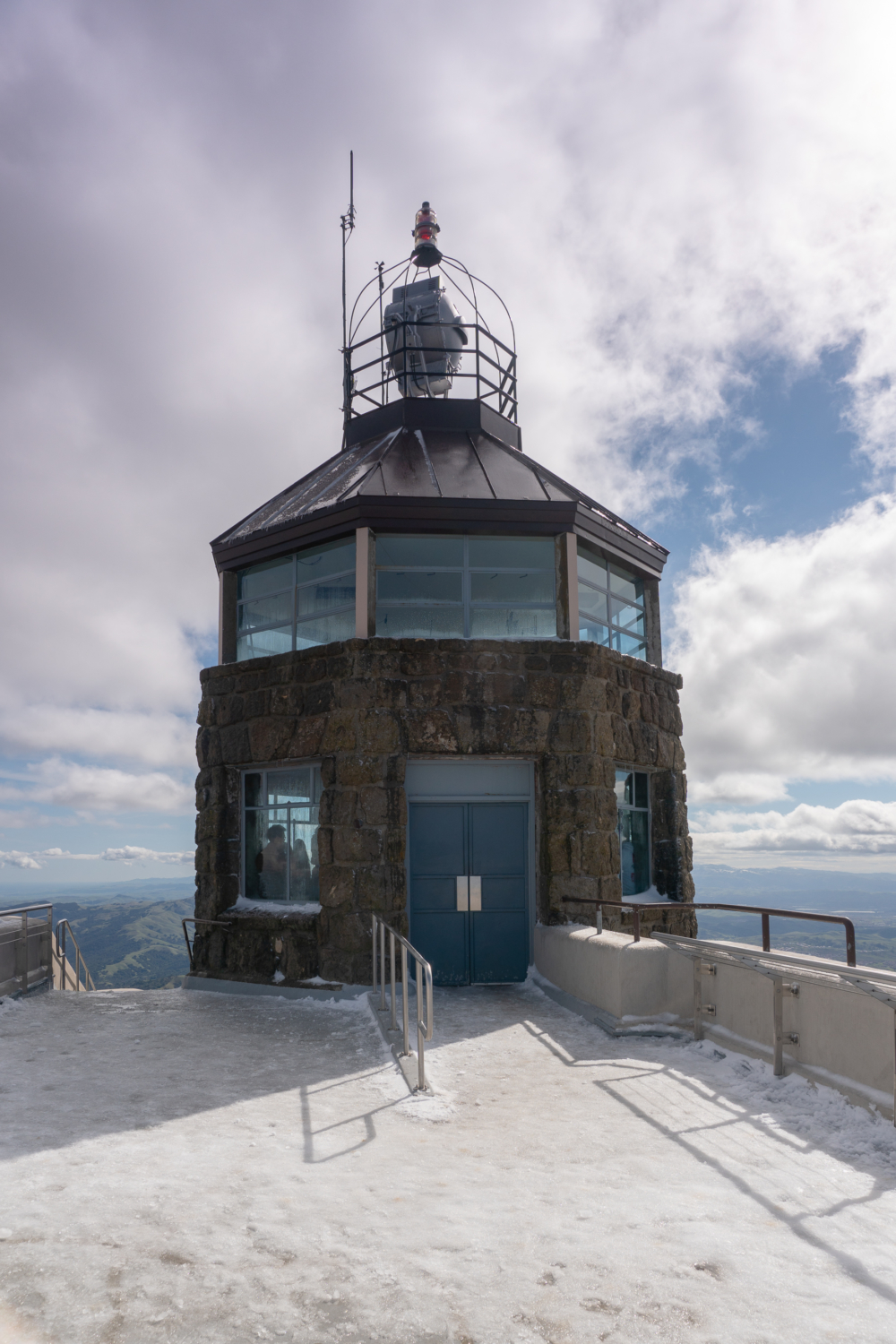
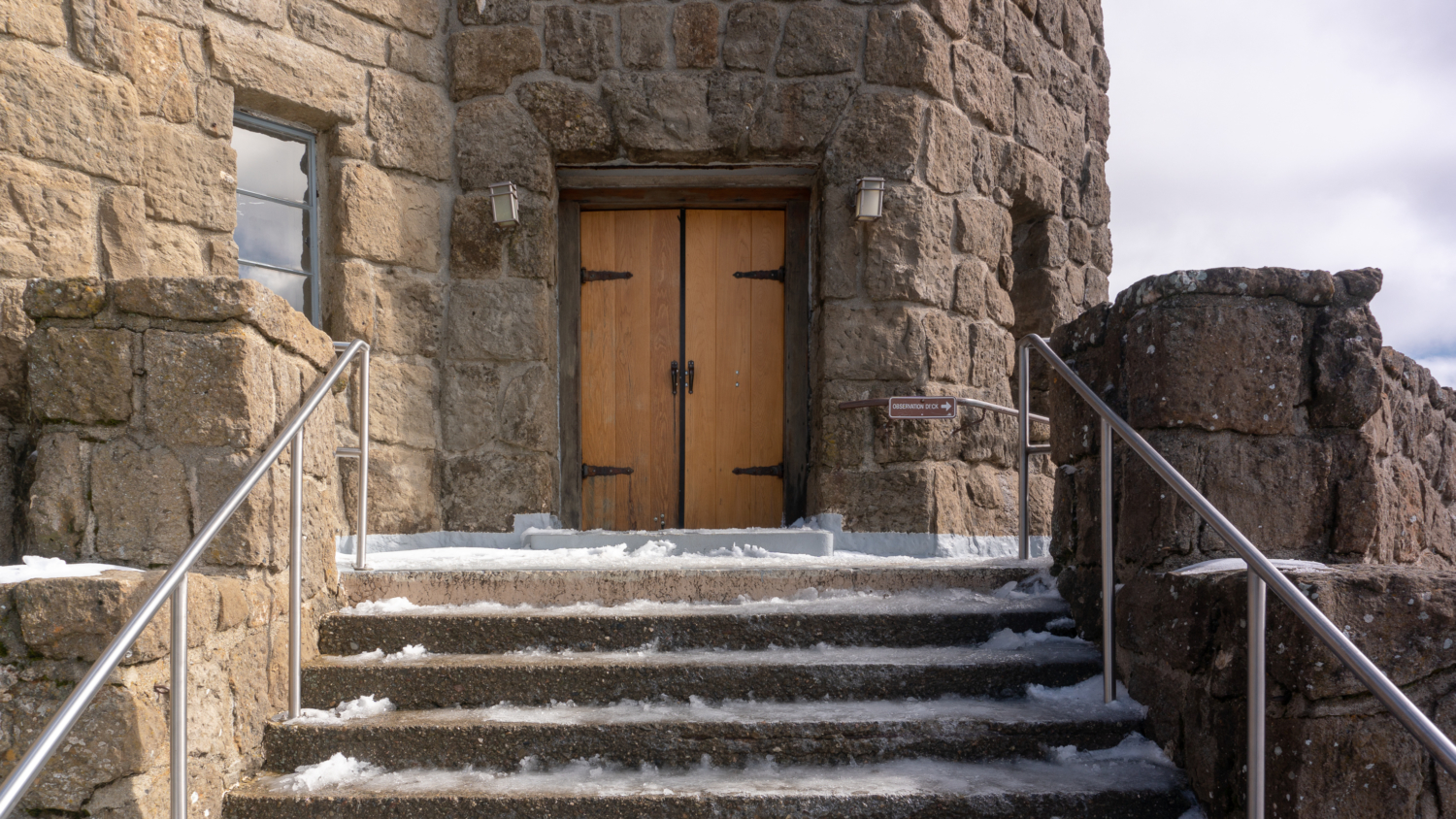
The Civilian Conservation Corp, using fossiliferous sandstone quarried from Fossil Ridge on Mount Diablo, constructed the Summit Visitor Center around the true summit of Mount Diablo from 1939 and 1942. Inside the visitor center, you can pick up free brochures as well as books, wildflower guides, snacks, stuffed animals, and even ice cream sandwiches for purchase. Past the gift shop and up the stairs, interpretive displays reveal the geological, botanical, and cultural history of Mount Diablo, the ancestral land of the Bay Miwok. The true summit of Mount Diablo is a crop of greenstone exposed inside a circular room nearby. Greenstone, reddish chert, and other rocks are part of the Franciscan Complex at the core of Mount Diablo, a mixture of rocks that were scraped off the oceanic plate as it subducted beneath the North American plate millions of years ago. Devil’s Pulpit, an exposed rock east of Mount Diablo’s summit, is an example of chert.
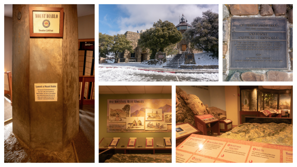
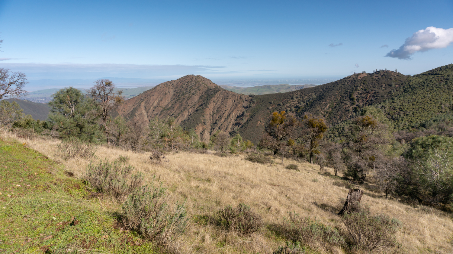
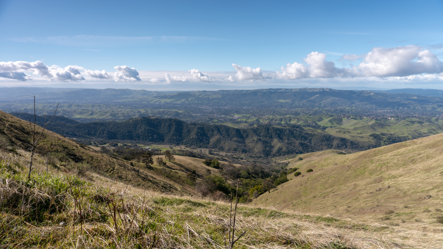
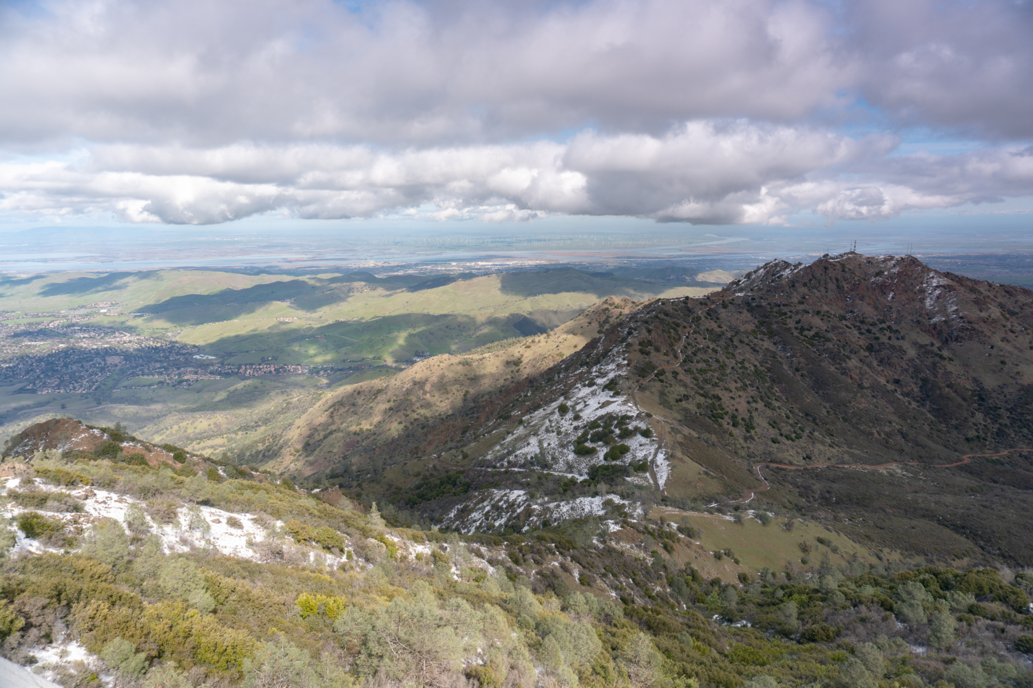
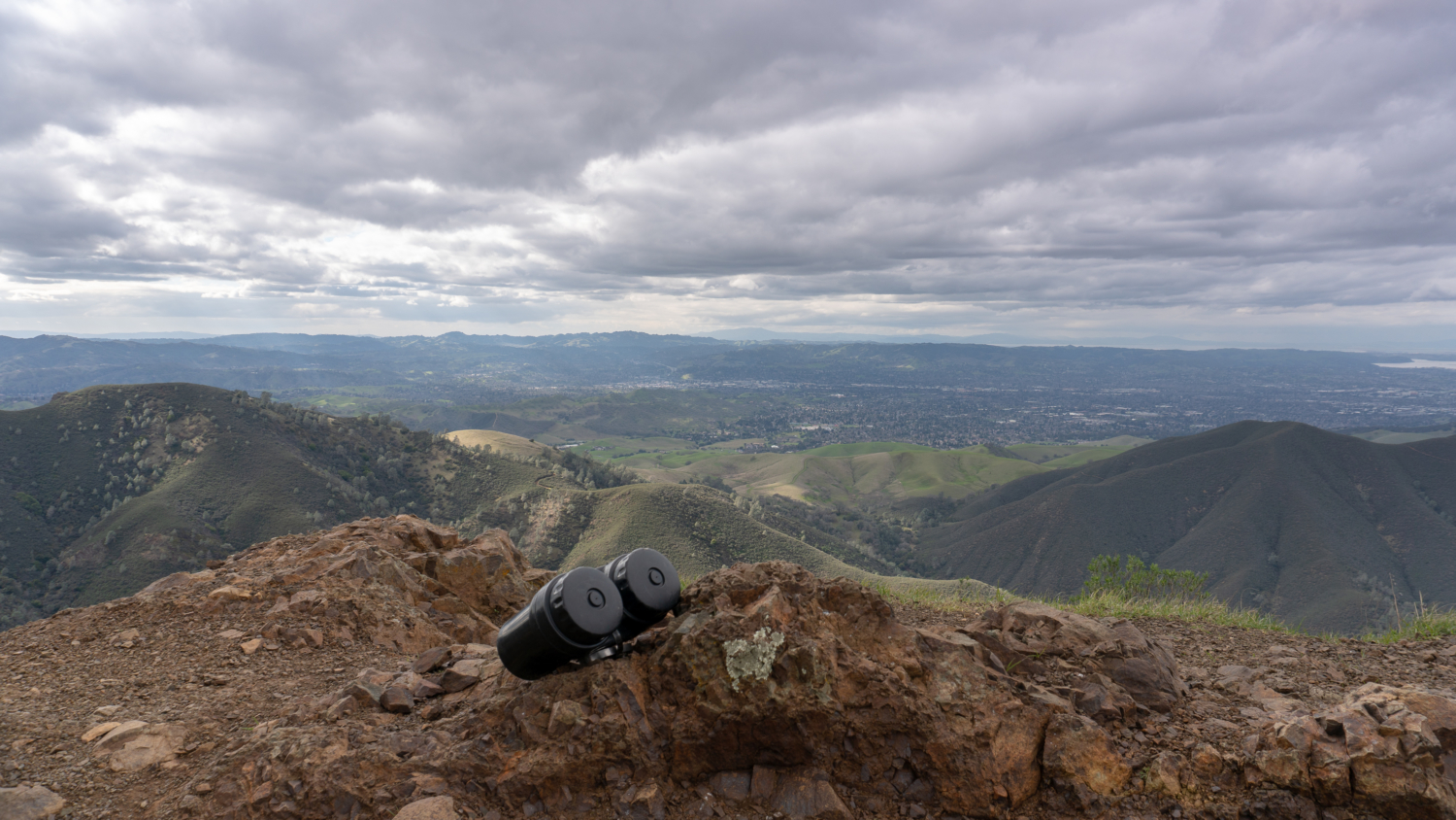
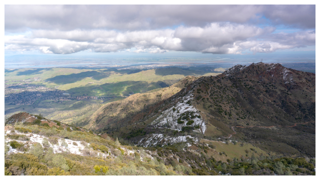
When ready, head back outside and climb the circular stairway to the observation deck and summit tower. Looking down, the major peaks and junctions on Mount Diablo are clearly visible, including Prospectors Gap, North Peak, Mount Olympia, Eagle Peak, Mount Zion, and Black Point. The Sacramento-San Joaquin River Delta, Suisun Bay, and Montezuma Hills windmills are to the north. Walnut Creek, San Francisco, and Mount Tamalpais are to the west, Livermore and the Diablo Range peaks are the south, and, on a clear day, you can see the Sierra Nevada to the east. A good bet for long-distance views is to visit after a rainstorm in winter and early spring when the air clears.
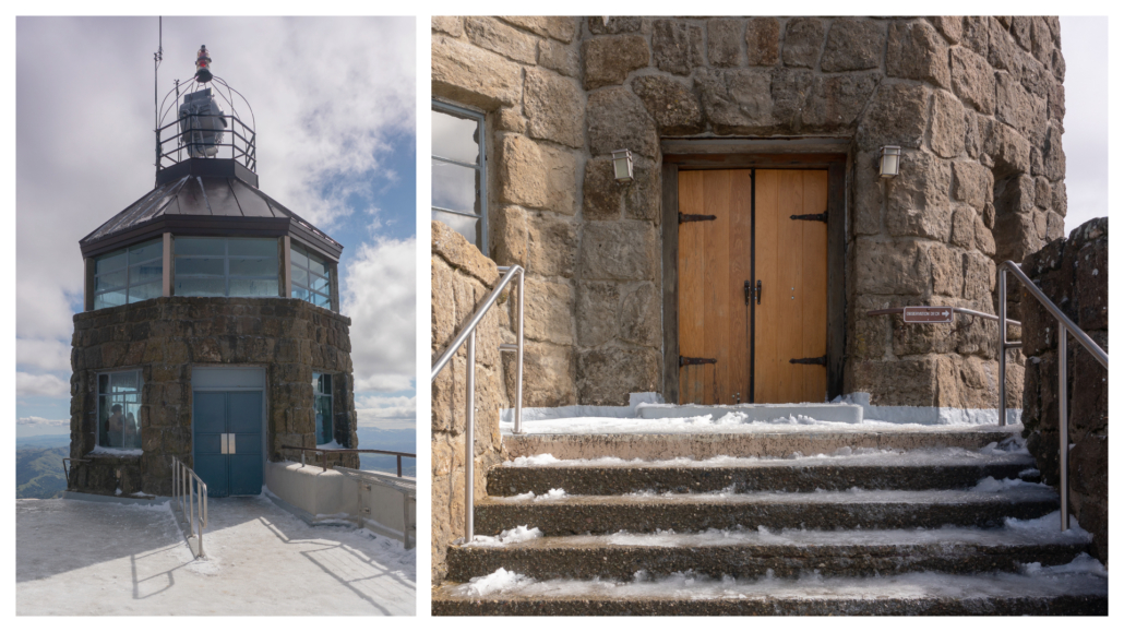
The aviation beacon atop the summit tower was built in the late 1920s as a nighttime navigation aid for pilots. The beacon was turned off after the Pearl Harbor attack in 1941 out of fear it would make the Bay Area a target. Today, it shines brightly once a year, on December 7, in observance of Pearl Harbor Remembrance Day and you can attend the annual Beacon Lighting Ceremony at the summit. Below the beacon, inside the rotunda, is a surveying display. In the mid-1800s, Mount Diablo served as an important reference point for land and resource surveys in California.
When you are ready to hike back to the Mitchell Canyon trailhead, you have a couple options. You can retrace your steps back down Mitchell Canyon, or make it a loop with visits to Eagle Peak and Twin Peaks. Heading back down the way you came will add up to 14.5 miles round-trip, 0.7 miles longer than continuing on the loop. There is a bit more climbing to come on the loop route to Eagle Peak, but it is fun, a scenic change, and the 360-degree view from Eagle Peak is as stunning as the view from Mount Diablo in its own way.
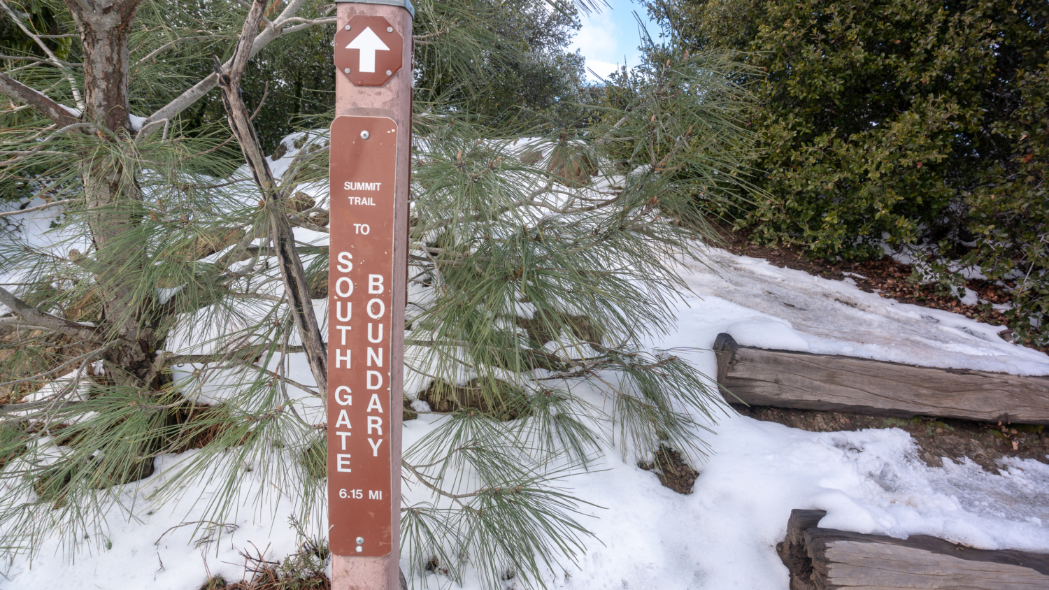
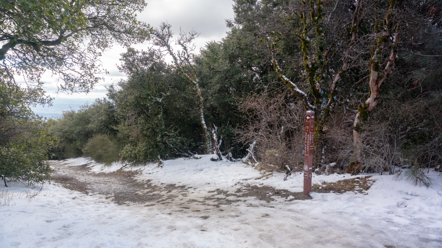
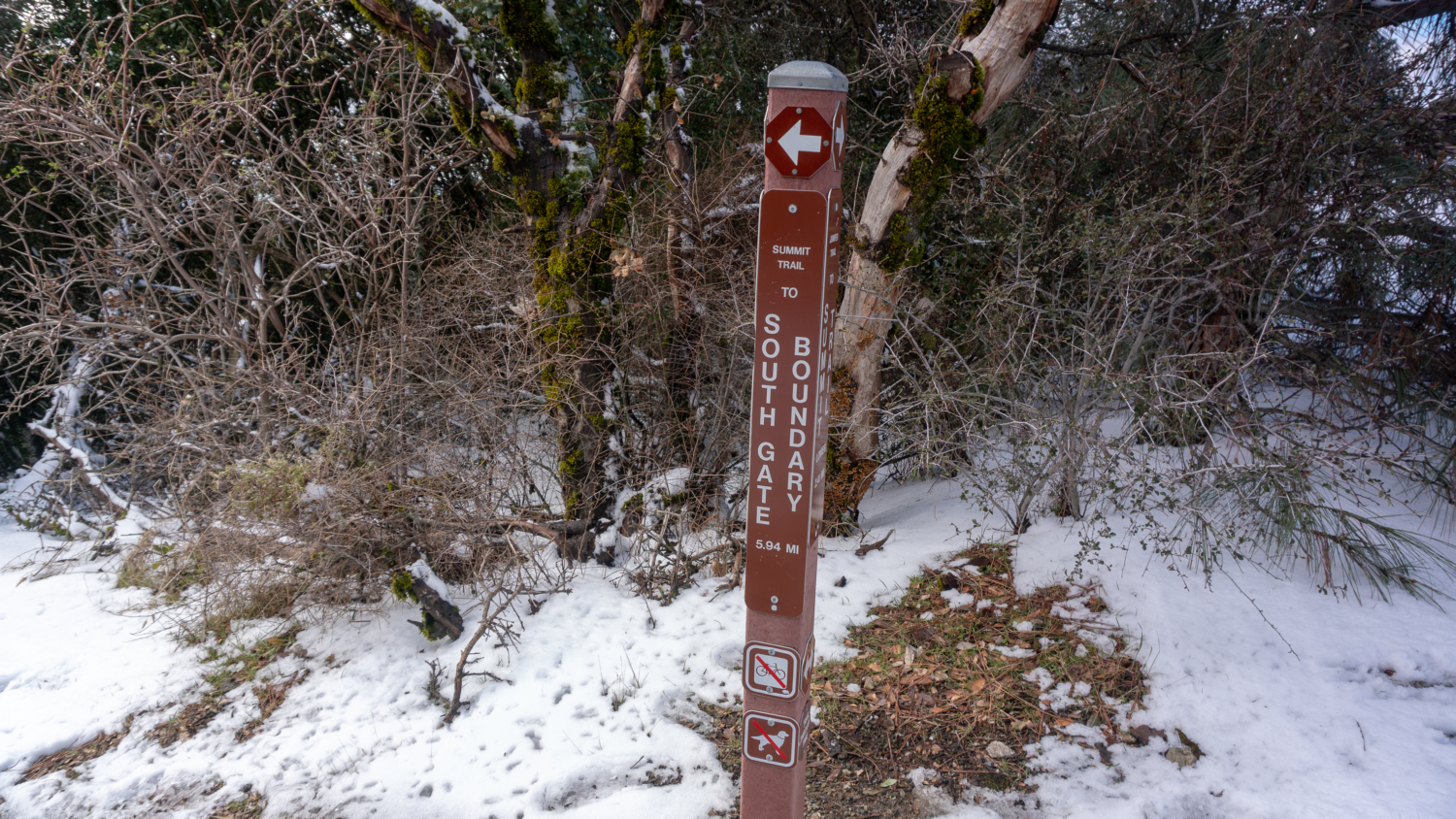
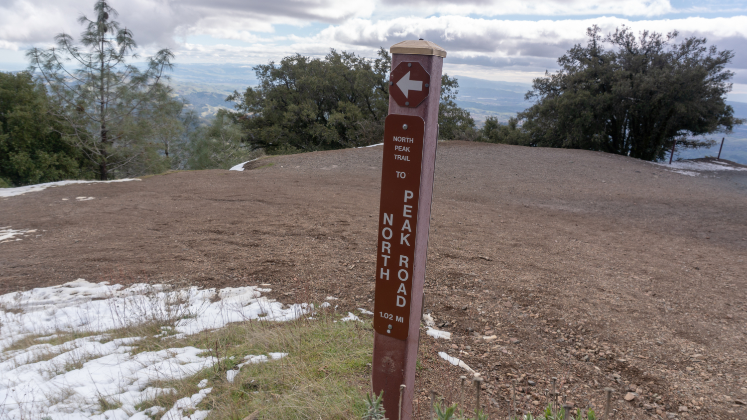
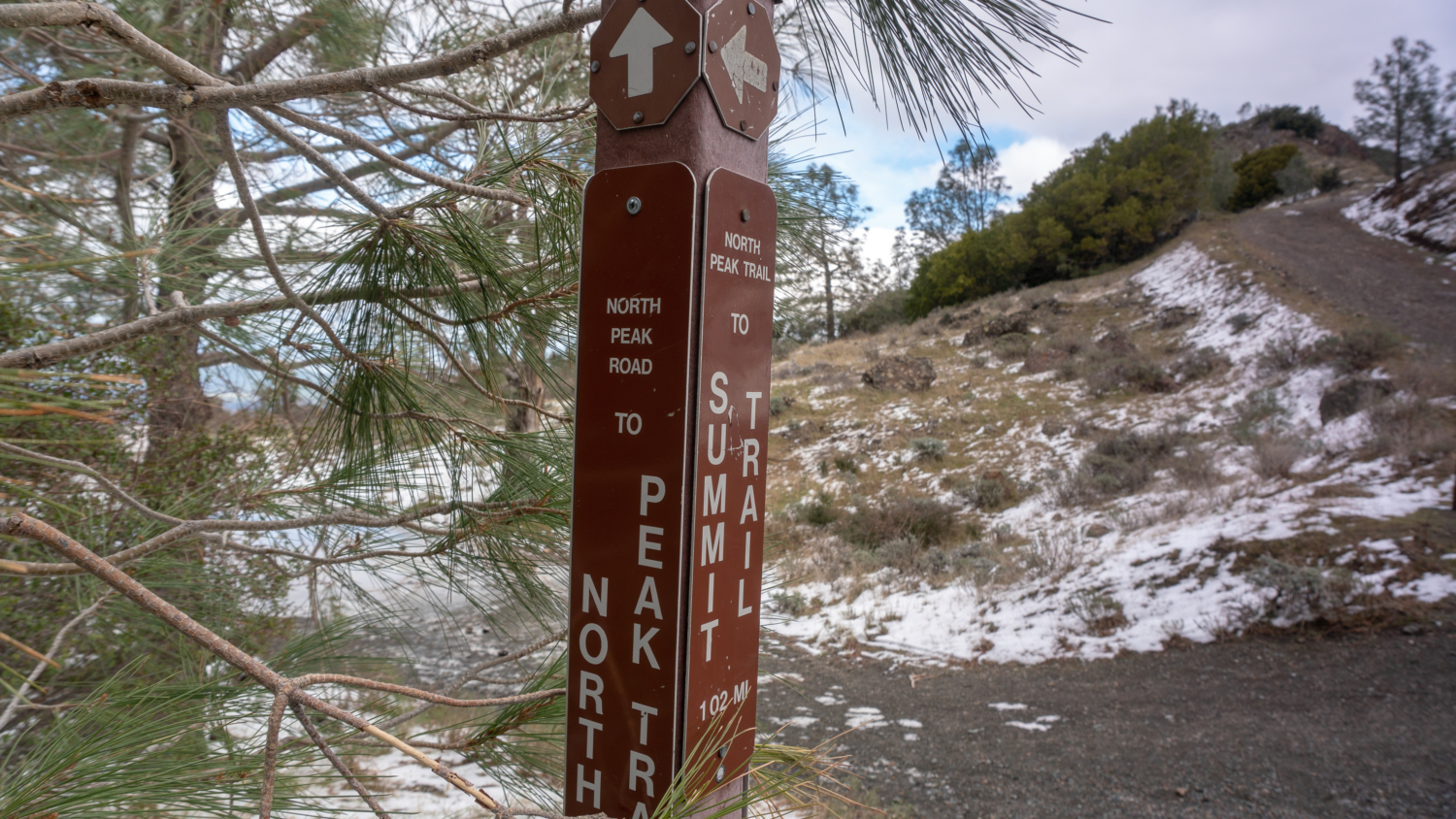
Continuing the loop, retrace your steps on the Summit Trail to the Lower Summit Parking Lot. Hike into the parking lot and look to your left for the Summit Trail towards the South Gate Boundary. Take this trail to Devil’s Elbow in in 0.2 miles, and then bear left to continue descending on the North Peak Trail towards North Peak Road. As you hike down, look back up for a stellar view of the summit tower and Devil’s Pulpit.
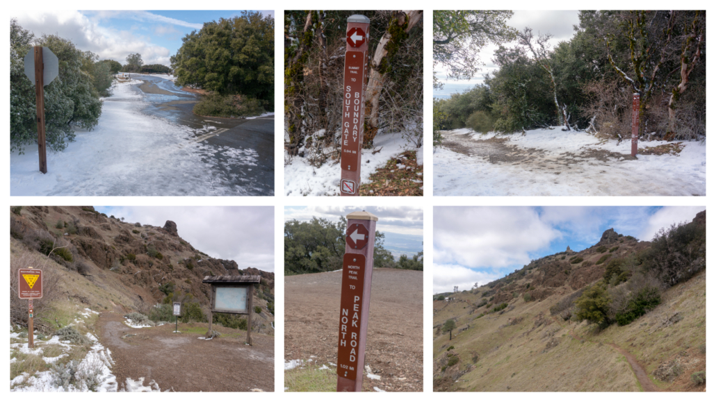
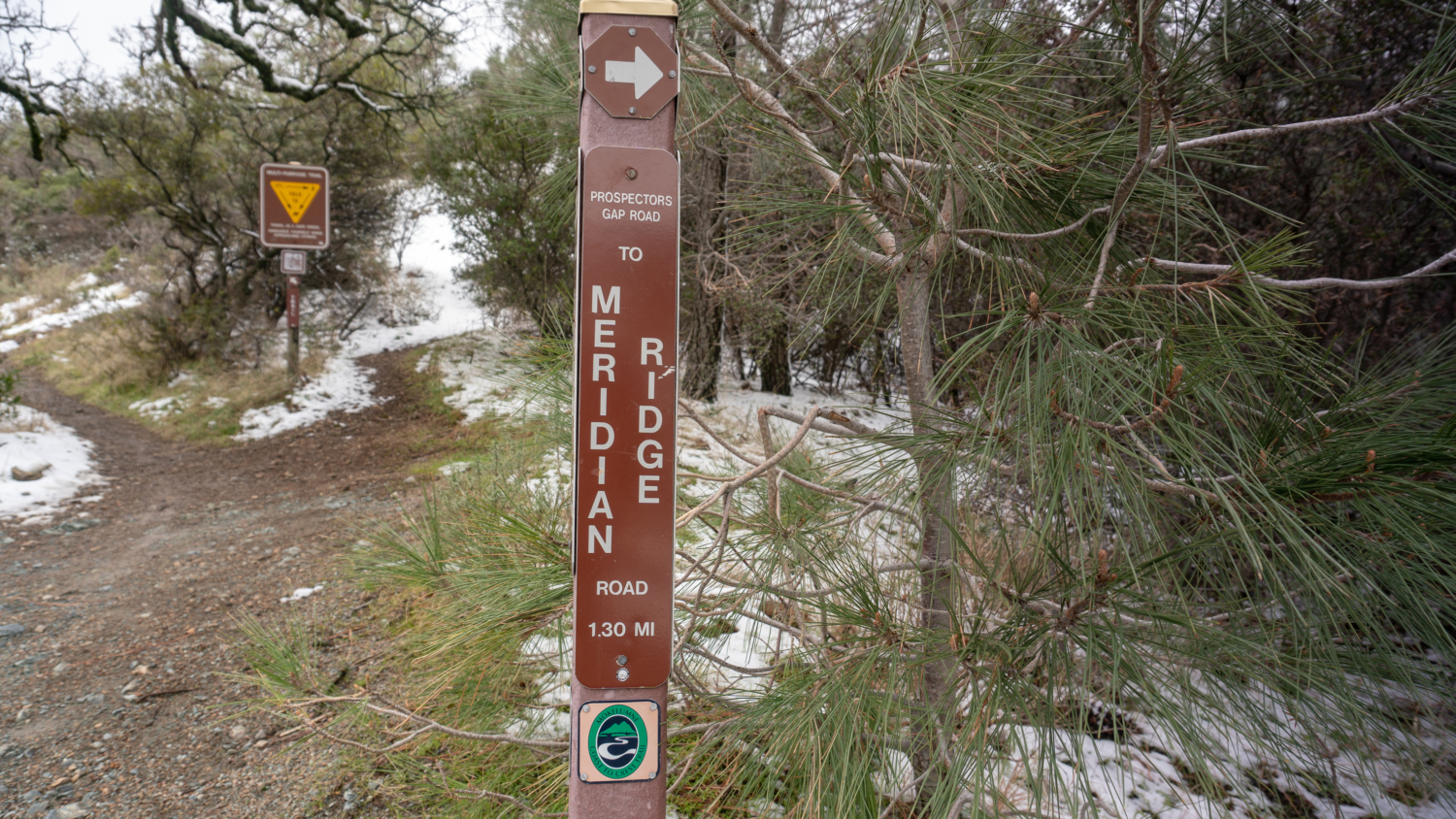
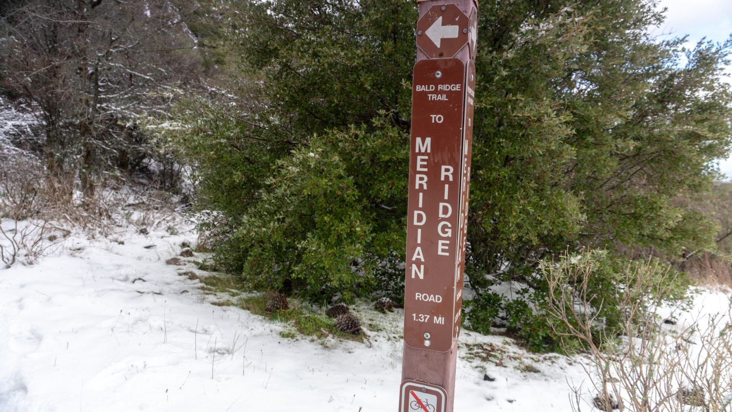
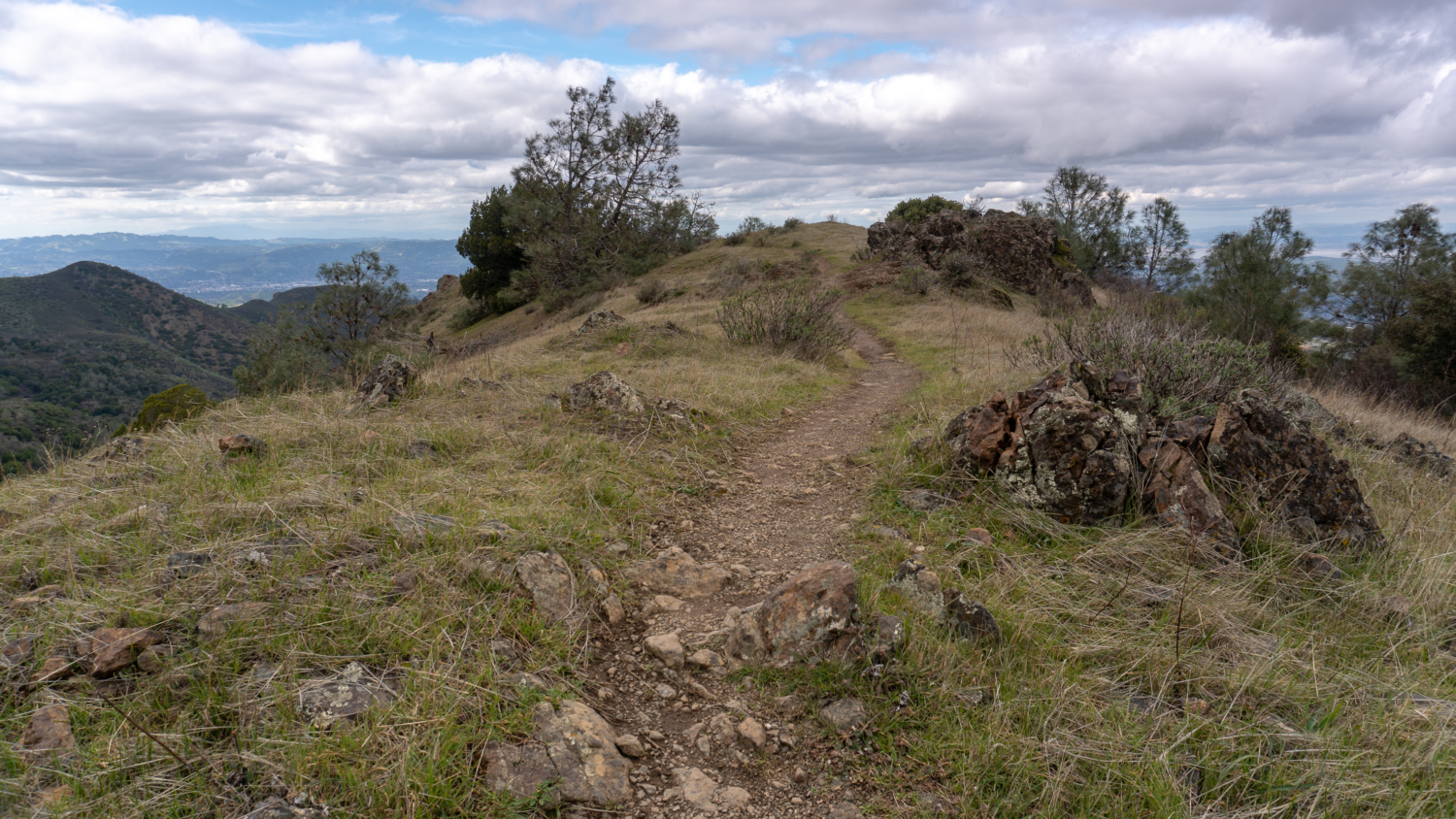
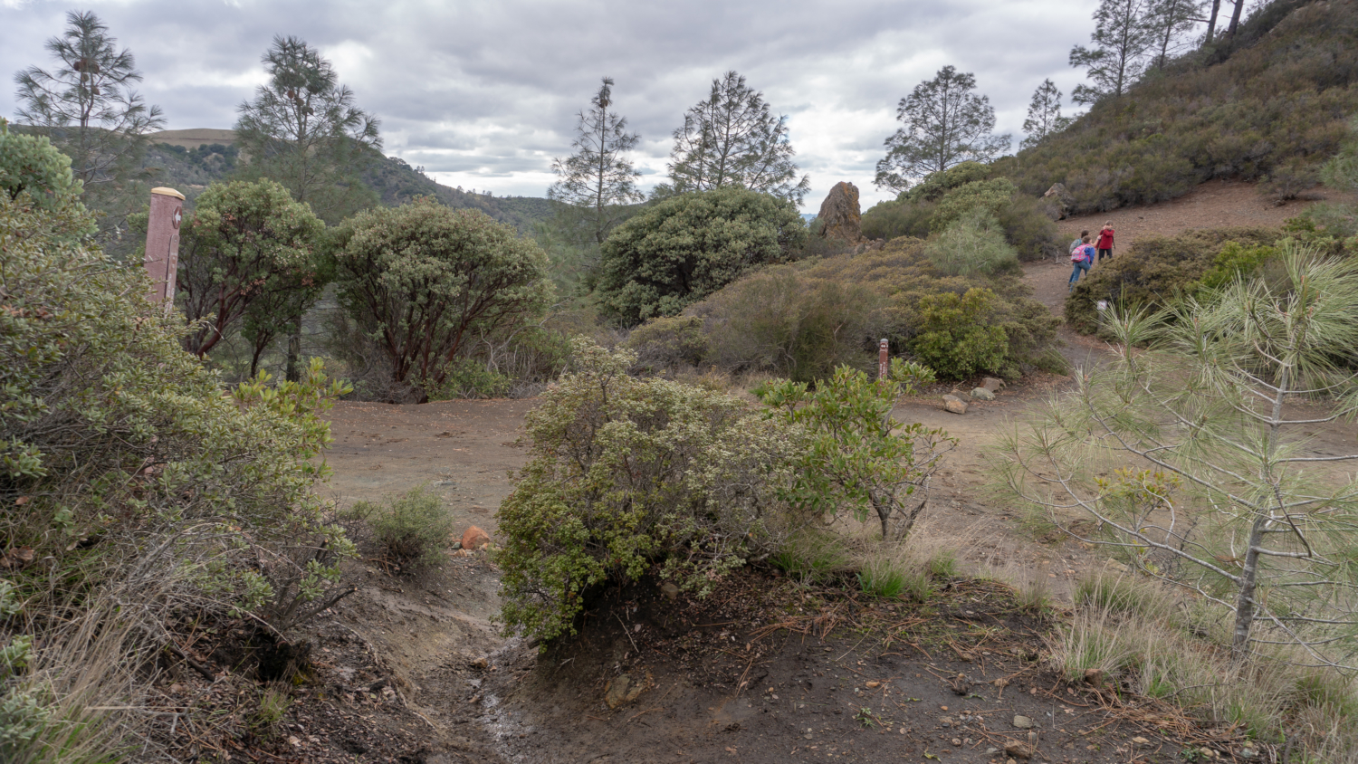
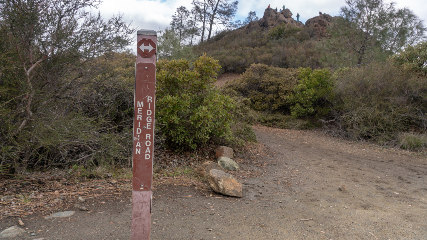
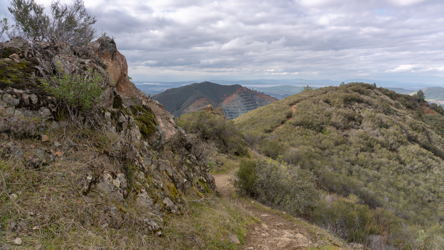
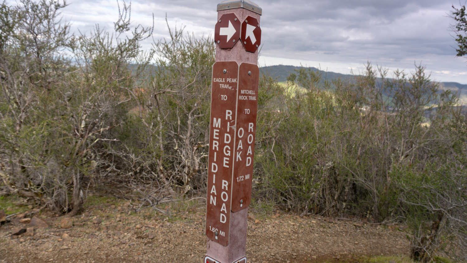
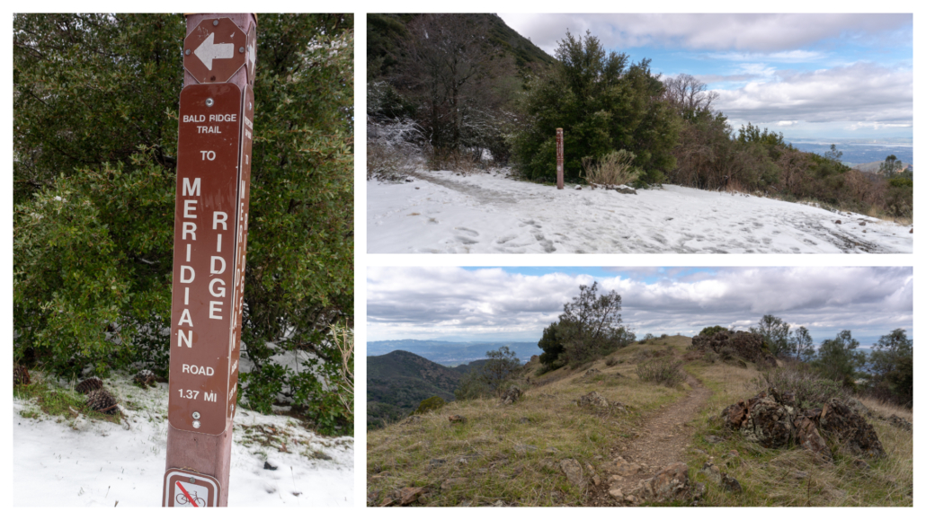
Arrive at Prospectors Gap, a 5-way junction, at the 8.7-mile mark. Turn left and in 75 feet, make another left to pick up the Bald Ridge Trail towards Meridian Ridge Road. The Bald Ridge Trail is a single track that can have poison oak through the next 1.4 miles to Murchio Gap. The alternative is to take Prospectors Gap Road on the right, which parallels Bald Ridge. They link up at Murchio Gap, but the Bald Ridge Trail is shorter and a more moderate approach. Prospectors Gap Road is 0.3 miles longer with a steep descent.
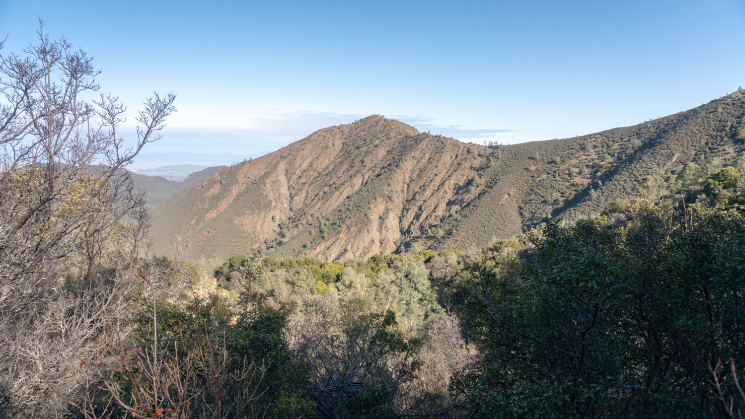
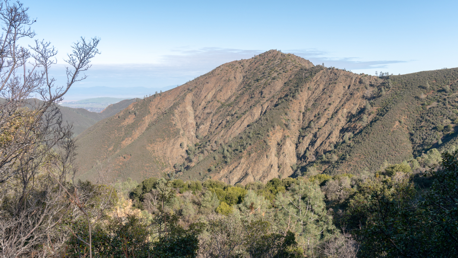
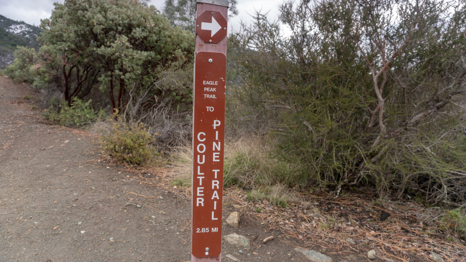
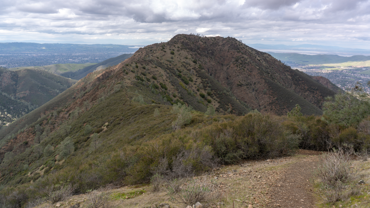
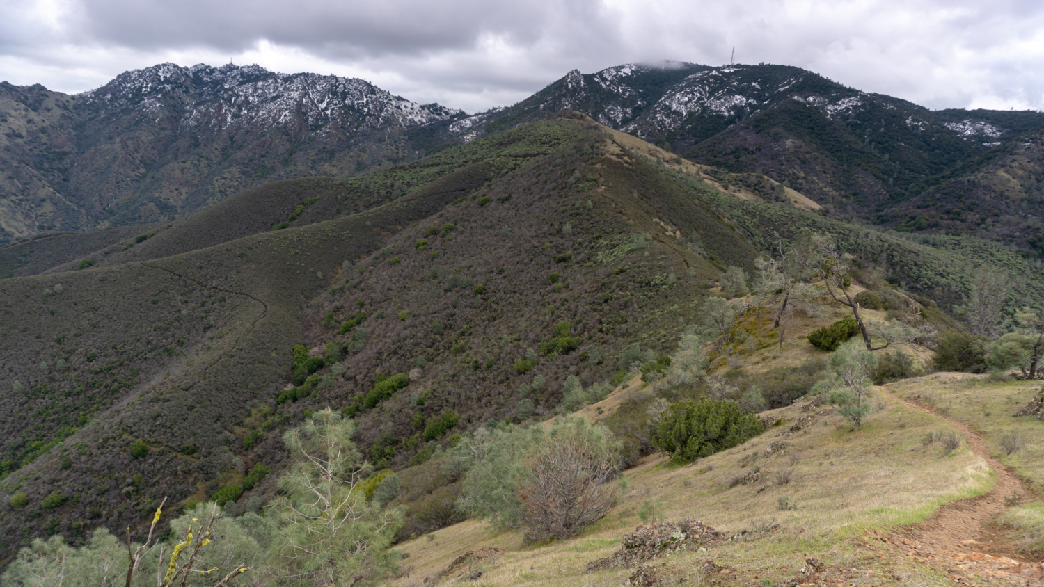
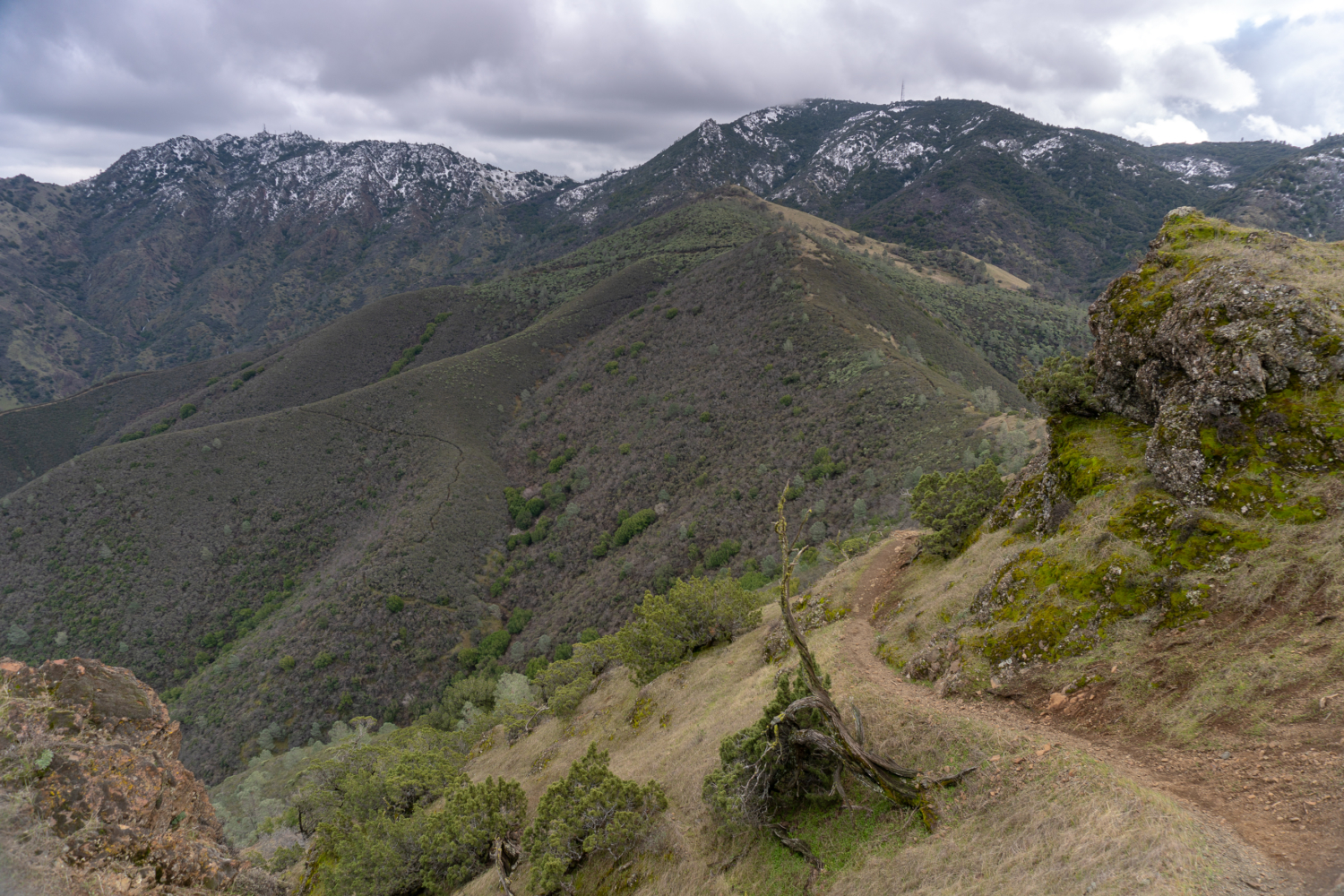
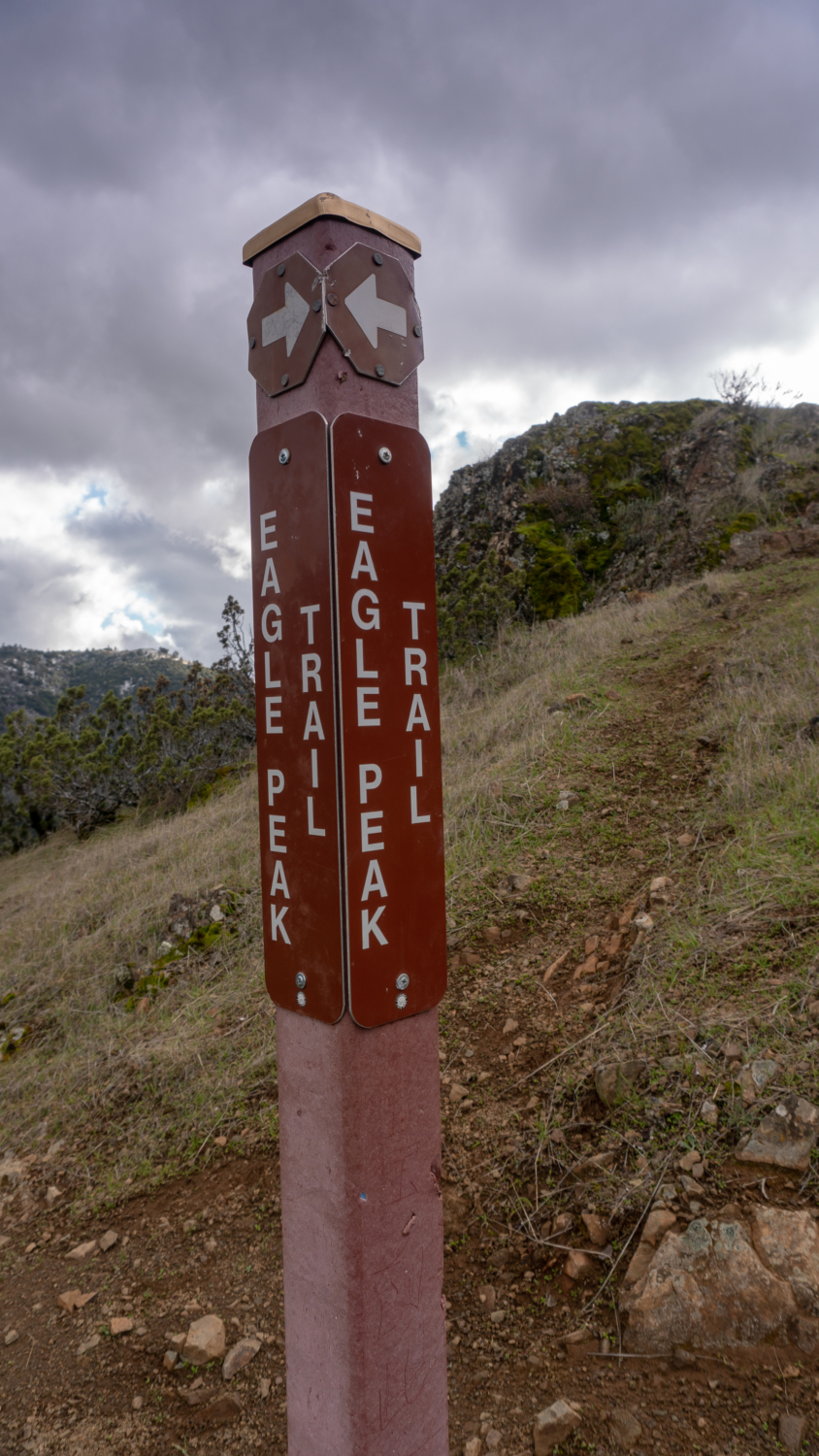
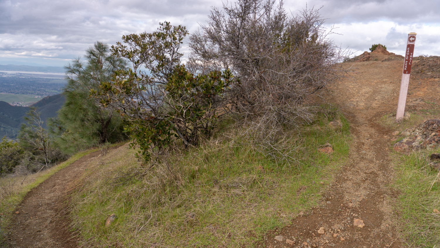
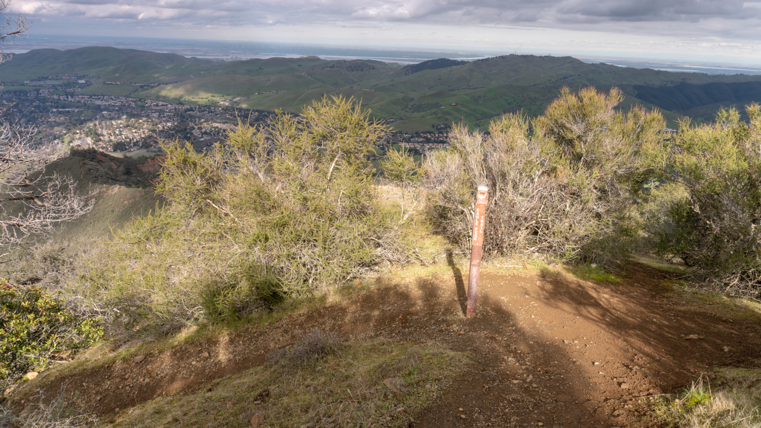
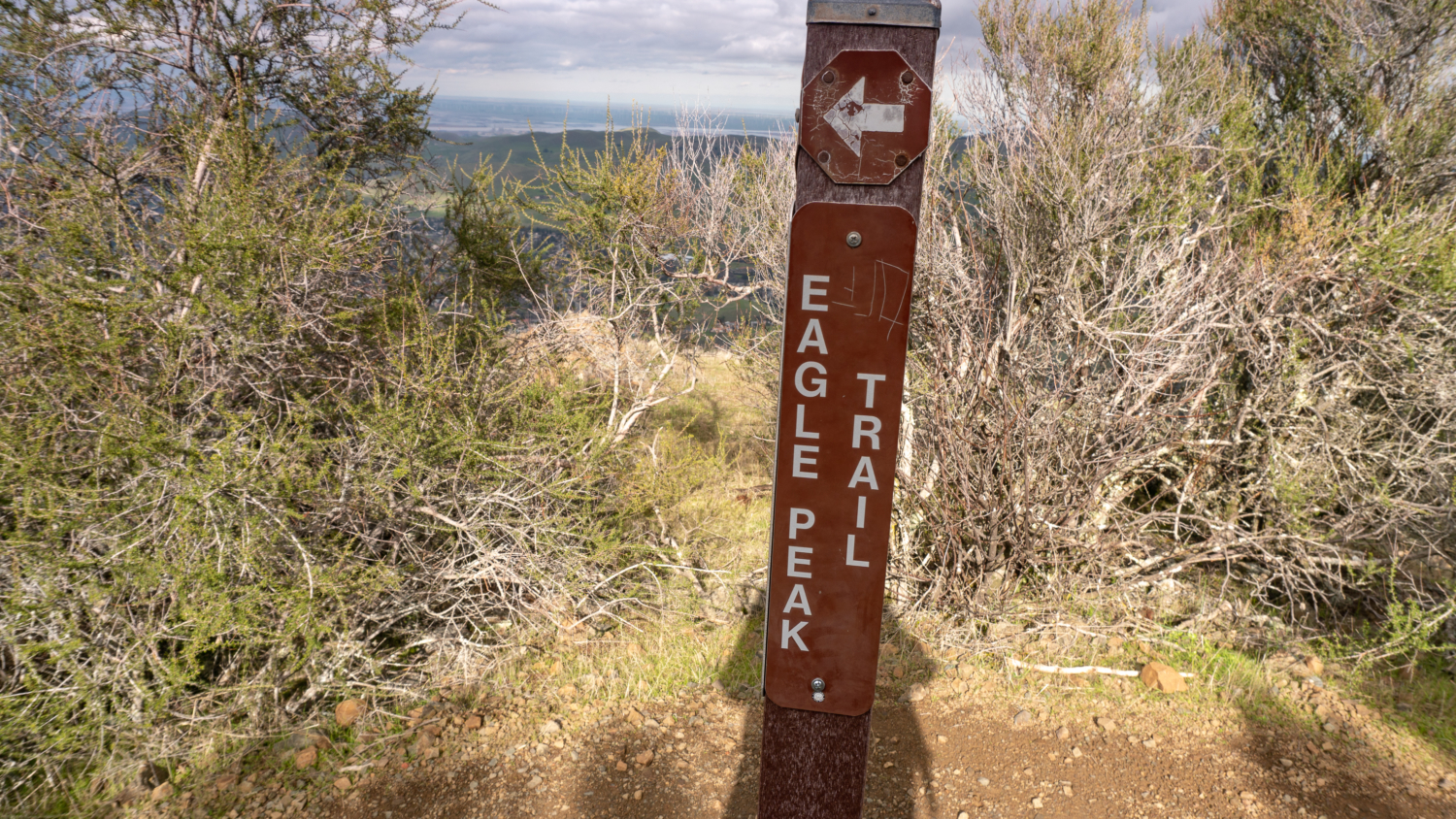
Arriving at Murchio Gap, cross Meridian Ridge Road to the Eagle Peak trail, climbing 350 feet over the next 0.8 miles to Eagle Peak at 10.9 miles. The approach to Eagle Peak astounds me. In spring, you can catch yellow sunflowers blooming beside the trail. Looking behind you, you have an incredible, up-close panorama of Mount Diablo’s telltale double peaks—North Peak on the left and the Mount Diablo Summit on the right. It’s kind of fun and amazing to realize you were just up there. Looking west across the bay, you can see Mount Tamalpais.
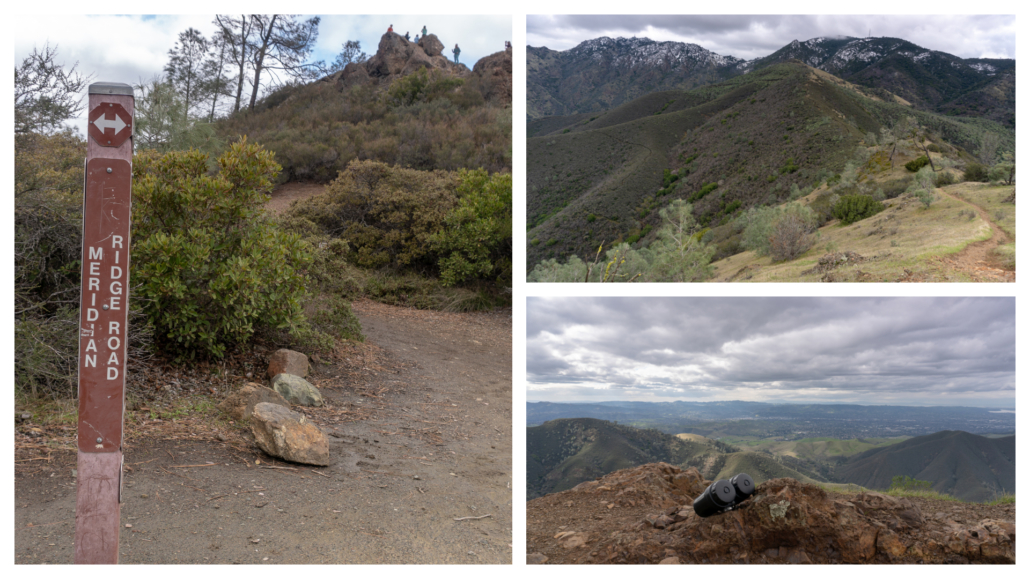
Past Eagle Peak, continue north on the Eagle Peak Trail through the sunny, chaparral covered ridge. You can see Mount Zion below, as well as nearby city of Clayton.
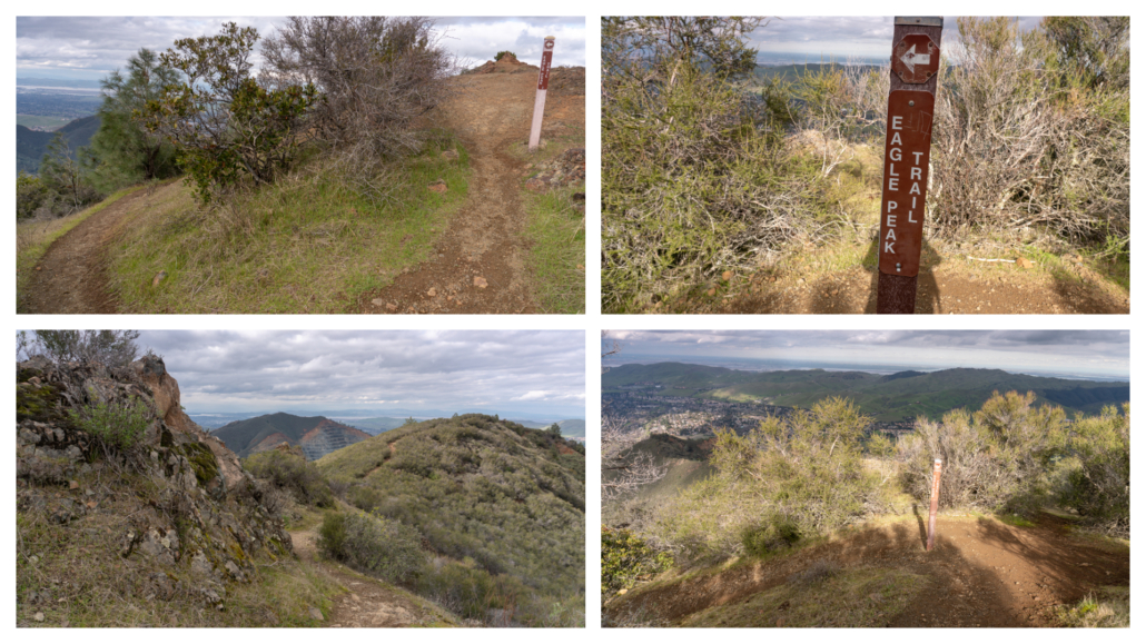
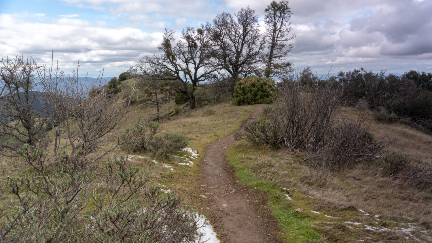
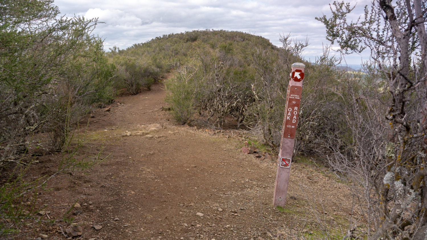
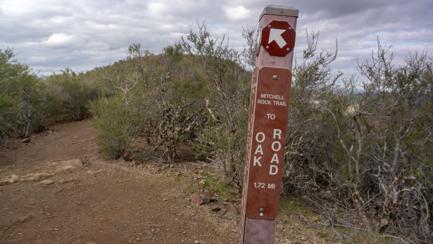
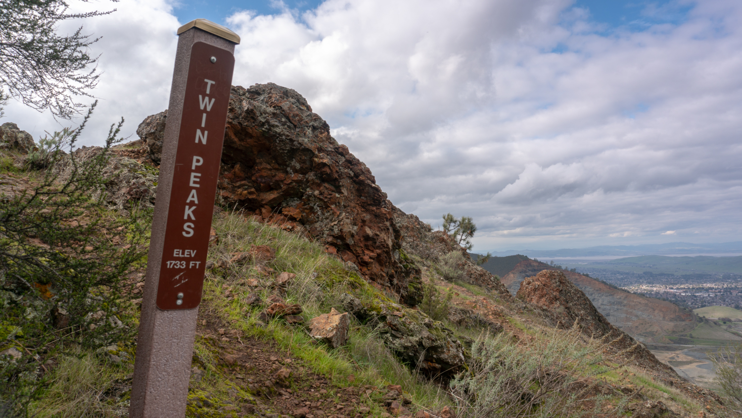
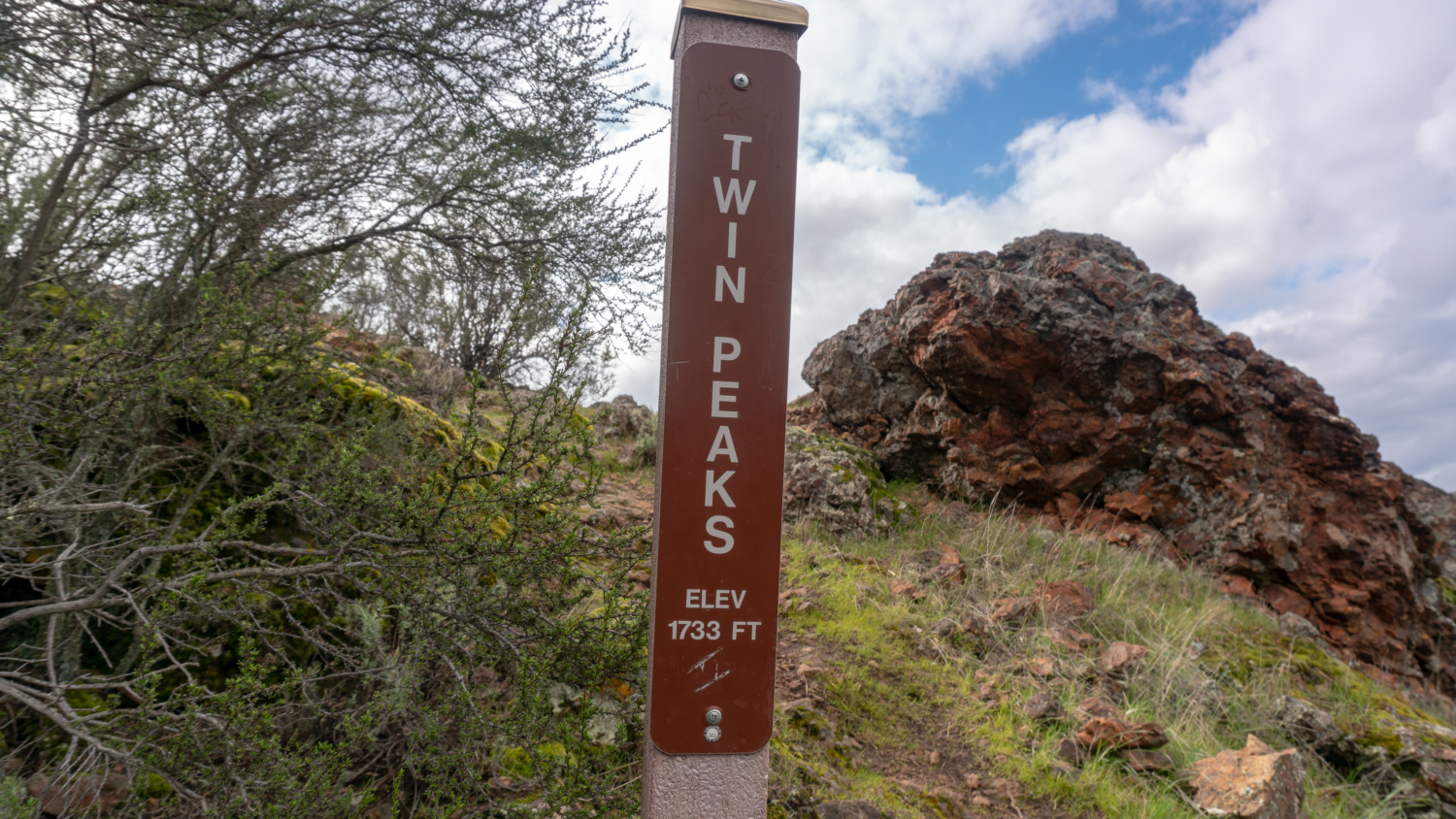
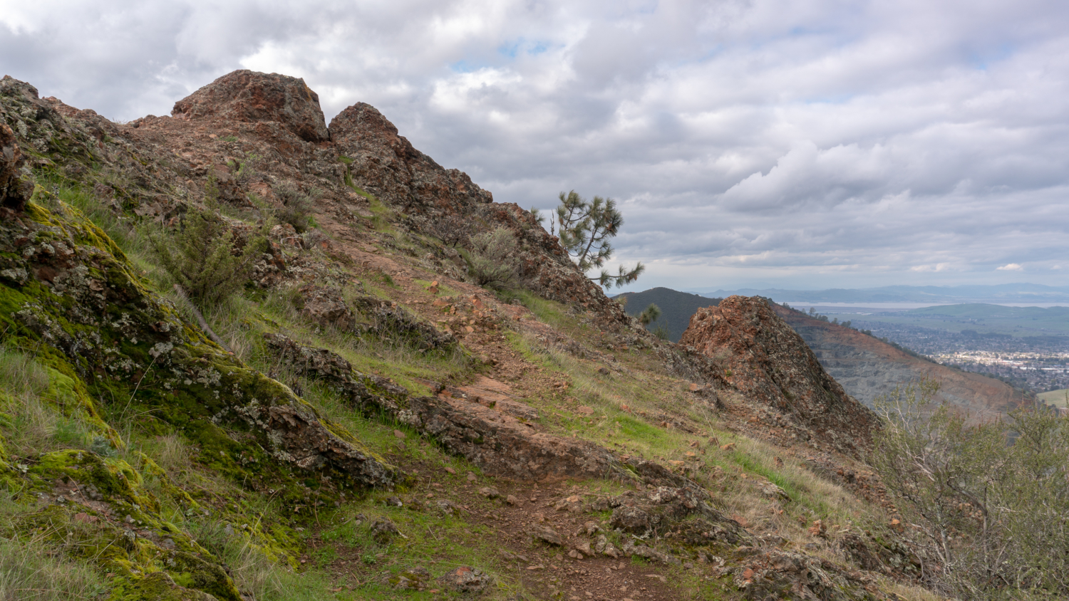
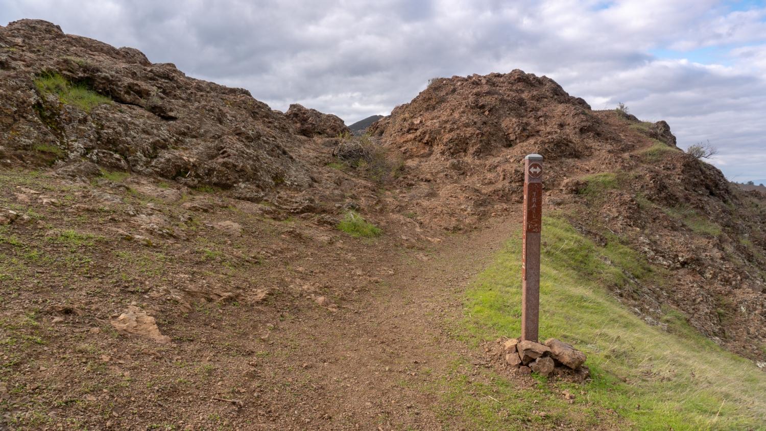
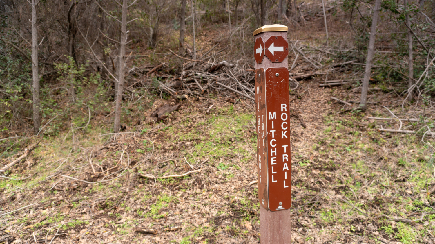
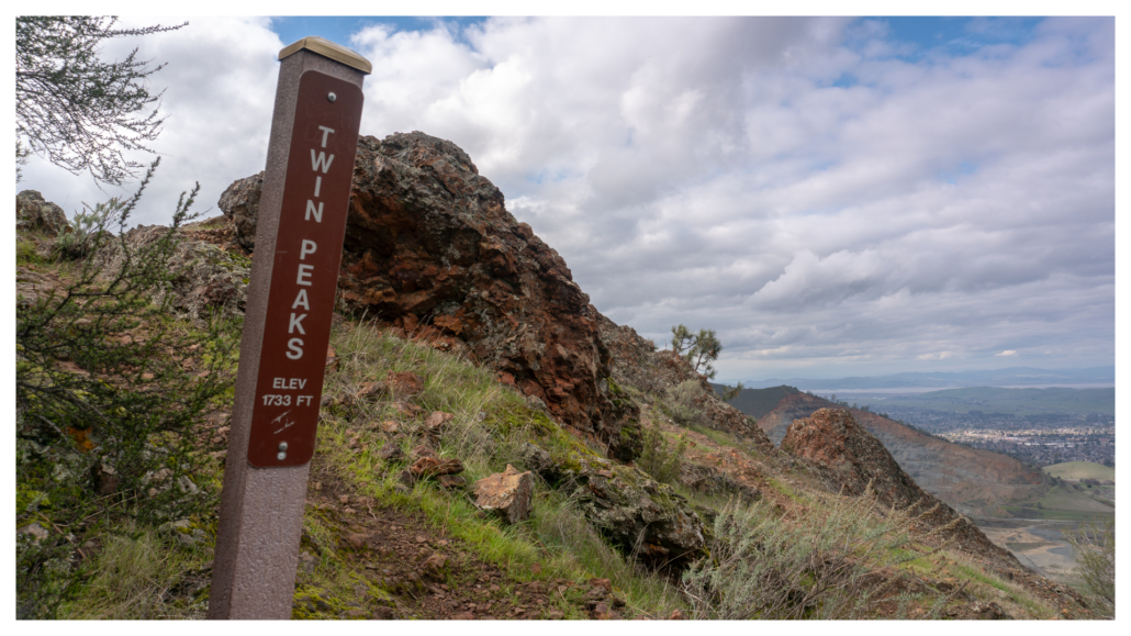
At 11.8 miles, continue on the Mitchell Rock Trail towards Oak Road. Pass Twin Peaks (12 miles) and Mitchell Rock (13.2 miles), after which you descend on a lovely single-track sprinkled with milkmaids in late winter.
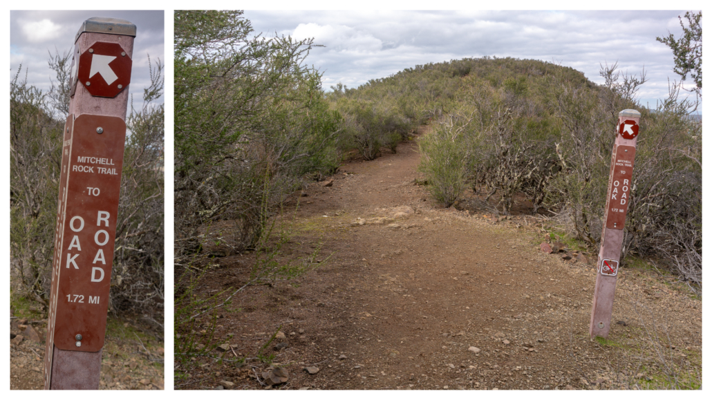
At the junction for Oak Road, turn left and hike 0.25 mile to Mitchell Canyon Road. A quick right and you are back to the trailhead. A spigot near the restrooms is helpful for washing off muddy and dusty boots.
As for how Mount Diablo got its name, there are differing accounts, but the generally accepted one dates back to the early 1800s when Spanish military were attempting to capture Native Americans who fled mission life. The story goes that the military got as far as a willow thicket on the northwestern side of Mount Diablo. There, the Chupcan tribelet of the Bay Miwok got wind of their plans and quietly crossed Carquinez Strait without capture. The Spanish blamed their defeat on the devil, calling the location the “thicket of the devil” or “Monte de Diablo.” Over the years, English-speaking settlers mistook “Monte” for “Mountain” and so it was that the tall peak near the site of the thwarted capture became “Mount Diablo.”
Notes:
- There is a $6 fee to park at Mitchell Canyon entrance, cash or check only.
- Dogs are not allowed on trails. Leashed dogs are allowed in developed areas of the park.
- Mountain bikes are allowed on paved roads, fire roads, and designated trails.
- Mount Diablo State Park is open daily from 8:00 a.m. to sunset.
- The Mount Diablo Summit Visitor Center is open daily from 10:00 a.m. – 4:00 p.m. There is a water fountain outside you can use to refill your water bottle.
- The Mitchell Canyon Visitor Center, located at the Mitchell Canyon Trailhead, is open Saturdays and Sundays. Hours are 8:00 a.m. to 4:00 p.m. March through October and 9:00 a.m. – 3:00 p.m. November through February.
- The Mount Diablo Interpretive Association (www.mdia.org) produces a detailed topo map called Trail Map of Mount Diablo State Park. It has all the trails, campgrounds, and entrances in the state park clearly marked. I highly recommend it. You can purchase it at sporting goods stores, Mount Diablo Visitor Centers, and on the MDIA’s website.
- Restrooms are located at the Mitchell Canyon trailhead, Juniper Campground, and at Mount Diablo’s summit in a separate building next to the visitor center.
- Although it is possible to explore Mount Diablo in summer, the tree-less exposure combined with steep trails and fire roads makes for brutal hiking conditions, especially on a long hike like this one. I strongly recommend skipping it in summer. If you do venture out in the summertime, please be safe and pack extra water, snacks, and sun protection.
Tarantulas
In late summer and early fall, male tarantulas scurry from their burrows in search of females, often popping up on park roads and wide, exposed fire roads. Despite their horror movie reputation, tarantulas are gentle and are not poisonous or dangerous to humans. Keep an eye out for their quarter–sized burrow entrances, often lined with silk, as well as their hairy brown bodies, about 4-5 inches long with 8 legs. After mating season, the males perish; however, females can live up to 25 years. A good time to try to see them is early morning and evening before sunset. Check event calendars for tarantula programs and guided hikes, often occurring in September and October.
Tags: bay area, Camping, east bay, history, Mount Diablo, san francisco, summit, training hikes