Mastodon Peak is a prominent, rocky point in southern Joshua Tree National Park. Located in the park’s lower Colorado Desert, this region doesn’t have the park’s namesake Joshua Trees but it does have a stunning array of springtime wildflowers that are generally bloom before the park’s northern half. Hikers on the Mastodon Peak trail can also visit the ruins of Mastodon Mine and the former boomtown of Winona, as well as tack on a longer trip to the Lost Palms Oasis.
The hike to Mastodon Peak begins at Cottonwood Spring. Park at the trailhead at the end of the road and descend down the paved walkway to the Cottonwood Spring oasis, where you’ll find towering native and non-native palm trees, as well as cottonwoods and feathery smoke trees lining the washes nearby.


The large number of trees and generally reliable water here makes Cottonwood Spring one of the best locations for birders in Joshua Tree National Park. Of course, the water also means this was an important area for human history as well. Indigenous people frequented this as well as the Lost Palms Oasis, and later, American miners and prospectors. The ruins of a primitive gold mill can be found near the spring in the oasis, as well as the site of the nearby Winona Mill.
Hike through the oasis and continue heading east on the wide, gravely Lost Palms Oasis Trail.
If you’re visiting during the spring and we’ve had decent winter precipitation, you may be treated to a spectacular display of blooms, usually beginning around mid-March. Make sure you’ve got room on your camera’s memory card.

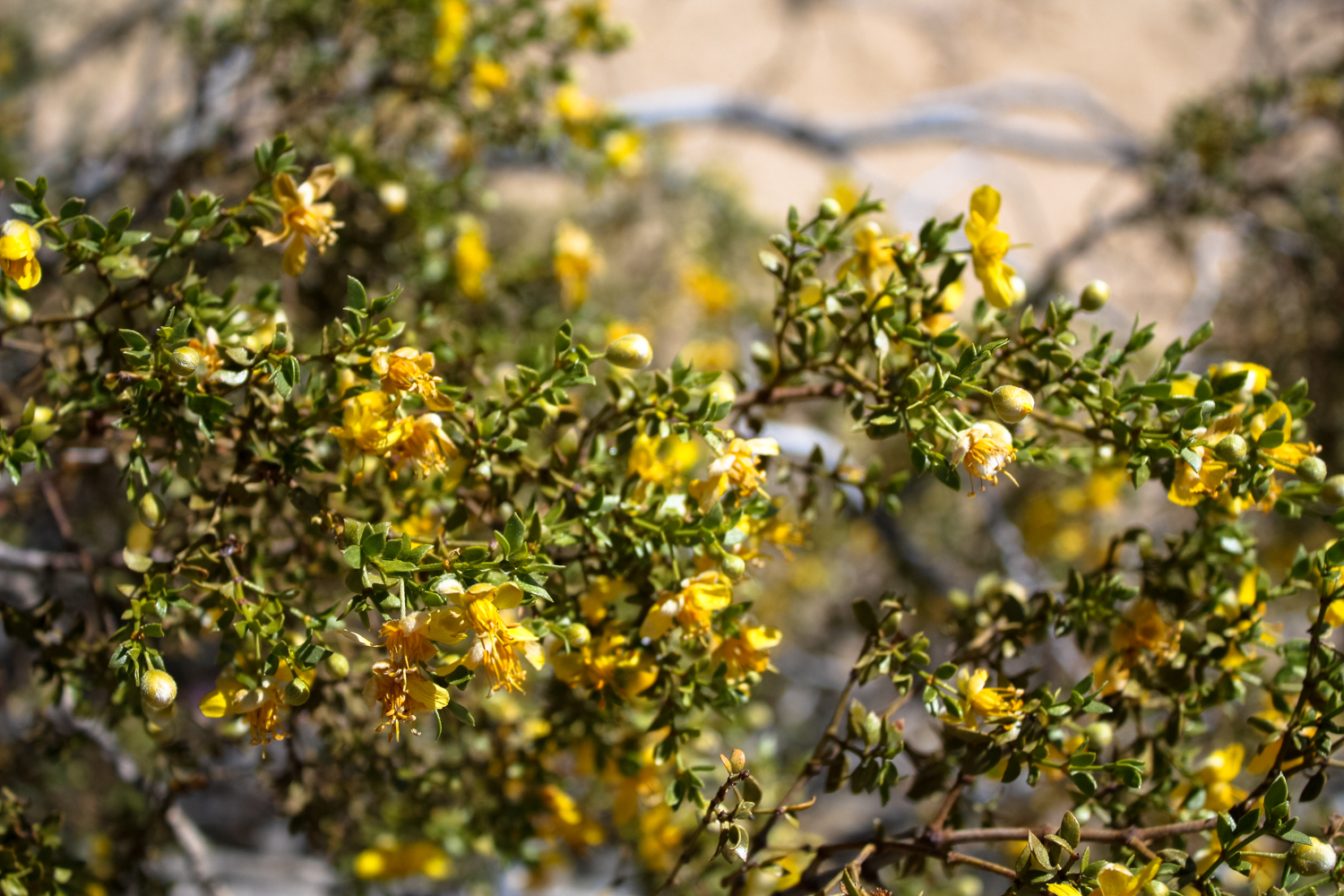
- Creosote

- Mojave suncup

- Hedgehog cactus

The Lost Palms Oasis Trail continues heading east with a very gradual climb.
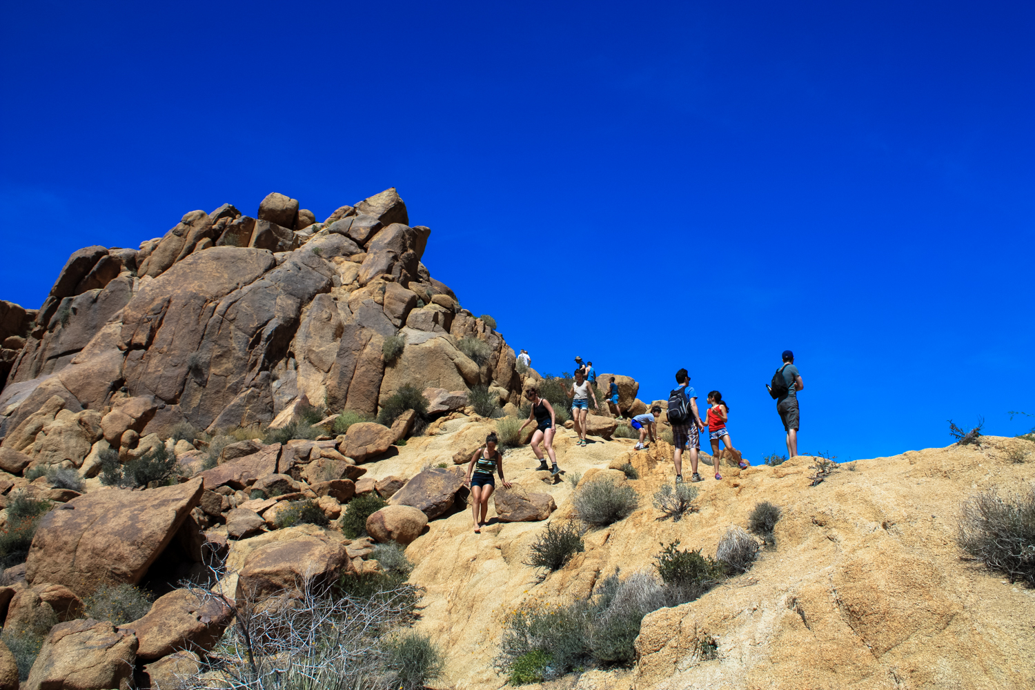
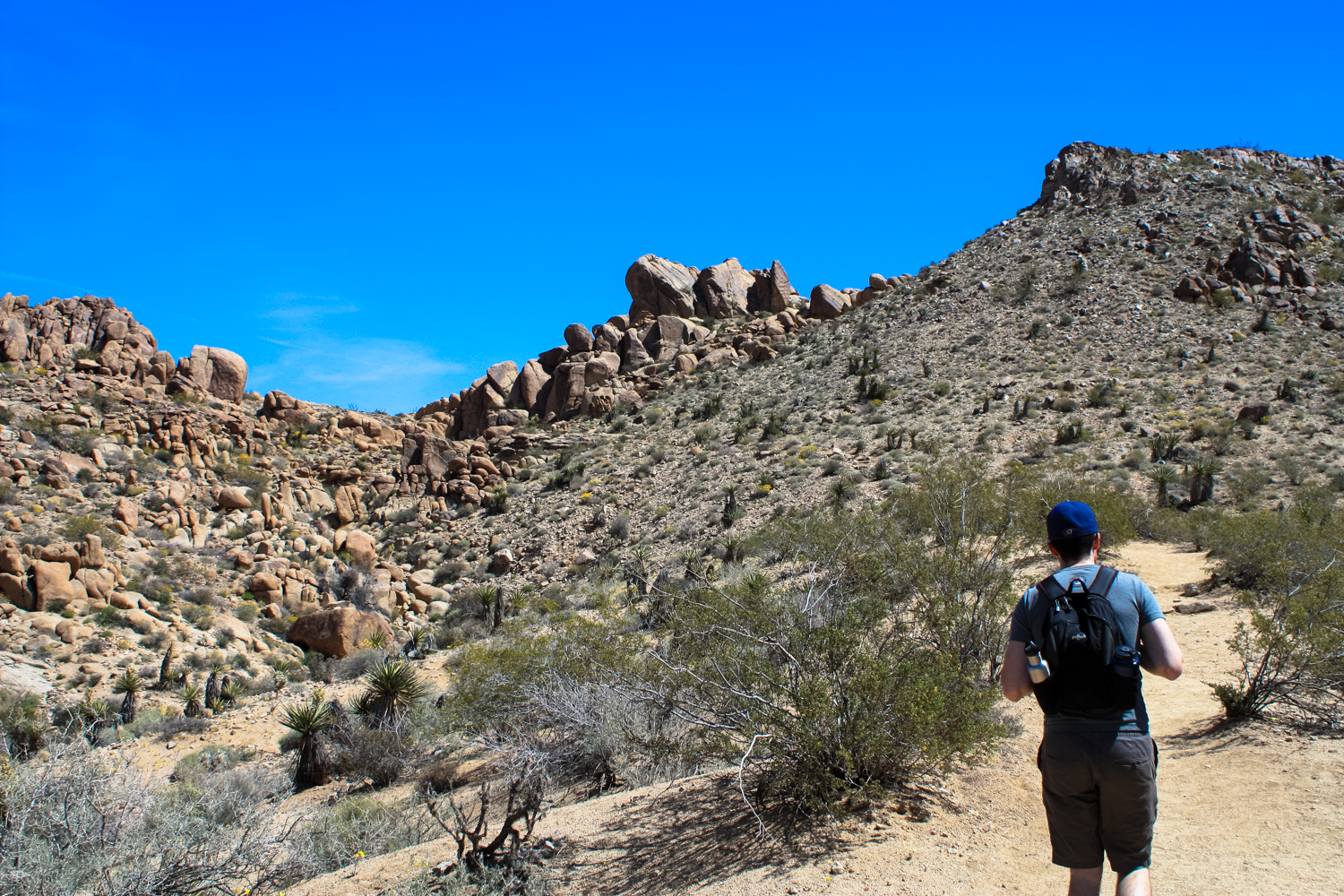
At 0.7 mile, turn left at the junction to begin on the Mastodon Peak Trail. Now, the trail leaves the gentler wash near Cottonwood Springs and begins to climb up through the bouldery terrain that is more familiar to most Joshua Tree visitors.

- An ocotillo towers above

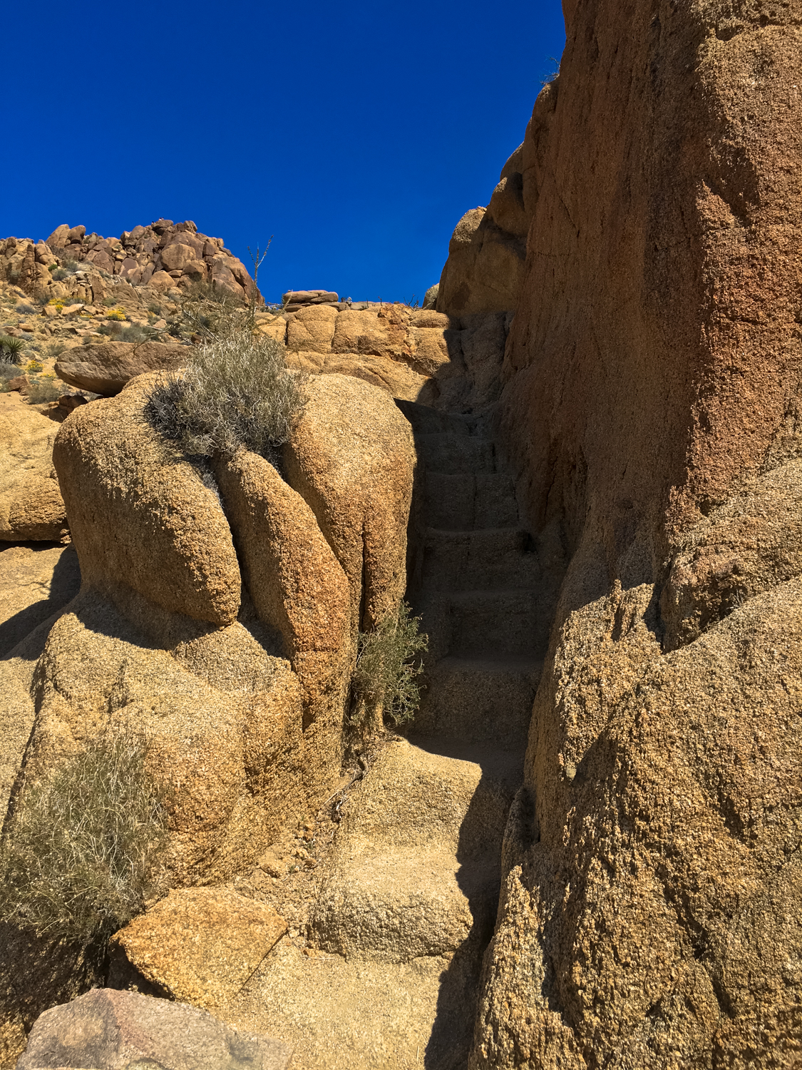
As you climb upward and through a few tight squeezes, views of the surrounding landscape really start to open up. At 0.9 mile, keep right at the junction to head toward the summit of Mastodon Peak. In another 0.1 mile, look for a worn path in the ground that snakes around the eastern flank of Mastodon Peak and follow it to climb up to the summit. There are some steep drop-offs and you may need to use your hands to steady yourself, but it’s nothing that’s terribly difficult for most hikers.

You’ll reach the high point just past the mile mark. If it’s clear, you’ll have some spectacular views of the southern portions of Joshua Tree National Park, as well as the San Bernardino and San Jacinto Mountains and — if the desert haze is cooperating — the Salton Sea, too!
- You can make out the Salton Sea in the center of this photo

Soak in the views, then backtrack to the junction at 1.1 miles and this time keep to the right to head northwest. At 1.2 miles, you’ll reach the ruins of the Mastodon Mine, which was established here in the 1930s by the Hulsey family. The operation followed a prominent quartz vein and eventually found gold, but a fault in the primary vein meant the bulk of the gold was never found and mining operations ceased shortly thereafter. Like nearly all of the almost 300 mining operations inside Joshua Tree National Park, the Mastodon Mine never lived up to the initial excitement of its early investors.
Several structures are still visible here. Please observe, but do not touch and especially do not attempt to enter the mine or its mine shaft. Vandalism can easily destroy these historic structures, ruining the experience for future visitors, and all mines can be deadly if your curiosity gets the best of you.

Follow the trail northwest. At 1.6 miles, the trail drops into a sandy wash and follows it for about 0.1 mile. At 1.7, keep your eyes peeled on the right hand side of the wash — the trail leaves the wash here. Don’t depend on following footprints to stay on the trail — you won’t be the first to mistakenly keep trekking down the wash!

- Brittlebush shows off along the banks of the wash

At 2.1 miles, the trail turns south and meanders through more rocky boulder fields until it reaches another wash at 2.3 miles. There’s a four-way junction here. Heading straight will take you to the Cottonwood Campground in 0.3 mile. Veering left (south) will close the loop and return you to Cottonwood Springs Road. You’ll head back that way eventually, but first, veer right to head to the ruins of the Winona townsite.
- the cement foundations at the Winona site are scattered around the region

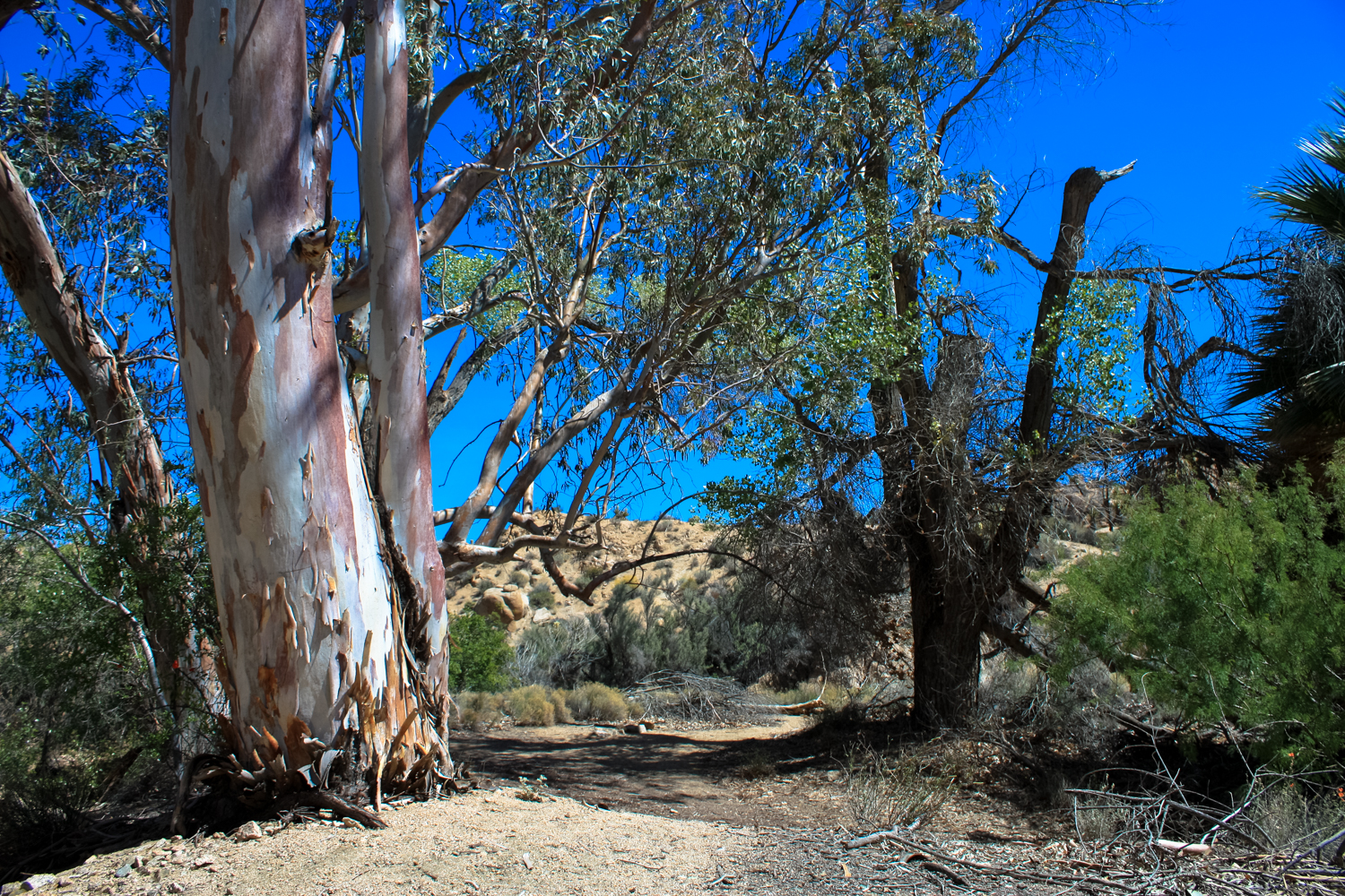
Winona was established in 1924 by George Hulsey (he of the same clan who worked the Mastodon Mine), and the Winona area was home to an early stamp mill as well as housing for some of the workers who operated nearby mines, including Mastodon Mine. Work was performed here through the 1940s, but in the 1960s the Park Service removed most of the abandoned buildings and pipelines, leaving only the concrete foundations, stone retaining walls, and exotic trees likely planted by the town residents for extra shade.
- Eucalyptus does not naturally grow in the Colorado Desert.

Spend as much time as you want exploring here – just remember to leave everything exactly as you found it.
When you’re done, follow the trail southwest from the Winona site and return to Cottonwood Springs Road. At about 2.6 miles, there’s a use trail to the right that leaves the main trail a bit too early, but otherwise it’s a straightforward trek back to the trailhead.
Tags: cottonwood springs, joshua tree, mastodon mine, mastodon peak, winona ghost town