Suppose I suggested that you might benefit from wearing waterproof boots to avoid your feet becoming caked with mud at several creek crossings. Let’s also suppose that I suggest a high clearance vehicle because you may be required to drive across at least two, possibly three creek crossings with varying water levels. Your assumptions that I’m talking about a hiking in the Pacific Northwest would be valid, provided you hadn’t already looked at the above trip information describing a hike in Anza-Borrego Desert State Park.

How is it that a place as infernally dry as Anza-Borrego has such an abundance of water that Coyote Creek is one of the few waterways in San Diego County that has never run dry? The answer lies in Santa Catarina Spring. The spring encompasses several acres of marshland that nourish a vibrant riparian jungle of willows, cottonwoods, and California fan palms while giving birth to the creek.

Santa Catarina Spring sits atop a spot on the San Jacinto Fault, a major strike slip fault the underlies the rift between the San Ysidro Mountains and the Santa Rosa Mountains. Like many of the other springs in the region (Borrego Palm Canyon, Mountain Palm Springs, Warner Springs, etc), the springs rise up from underground aquifers through the fractured earth to the surface, at which point it transforms the landscape beyond recognition. As the name Lower Willows implies, other springs along the San Jacinto Fault in Coyote Canyon support such vegetation and Middle and Upper Willows further north.

As one would expect, the presence of water would be a powerful attractor to humans and wildlife alike through the ages. The ancient Cahuilla inhabited the areas around the springs, and upon the arrival of European explorers and settlers, including Juan Bautista de Anza, the area attracted notice and settlement immediately. Just as humans seek out water in the desert, wildlife thrives in the area. Birding is fantastic along this route, with several endangered species such as Least Bell’s vireo inhabiting the riparian jungle. Bighorn sheep also seek out water in the creek, and the area is closed between June and September to protect the watering rights for these majestic, endangered creatures.

After you’ve made the somewhat challenging drive to the Lower Willows Trailhead, find the trailhead just north of Third Crossing. From here, you’ll be following the tread of a former jeep trail that once drove straight through the swamp to access Coyote Canyon. In 1988, the state park closed off this road and established the Lower Willows Bypass Road, affectionately known as the “Granite Staircase,” in order to protect the habitat.


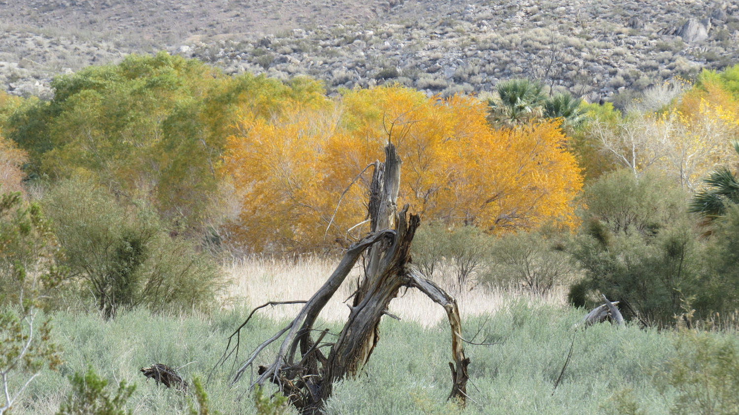
Progress west-northwest along the northern edge of the riparian forest hugging the banks of Coyote Creek, past the outlet of Box Canyon on your right. As you pass Box Canyon, you will enter a muddy, marshy section of trail that make a sloppy, unimproved creek crossing. Waterproof shoes might be your ally here, but you may also wish to enjoy the rare sensation of water squishing around in your shoes while you wander the desert. Proceed through thickets of willows and arrowweed. The latter plant was once used to fashion arrows due to its stiff and rigid shape.


You will soon cross the creek a second time, this time on a narrow beam. Filarees of wild grapevine dangle over the trail at this spot, lending an otherworldly lush air to the otherwise arid environment. Beyond the creek, you reach a wide, fairly well-preserved portion of the old jeep trail, which you will follow west through a tangle of willow, mesquite, arrowweed, and cottonwoods. Little snippets of view penetrate the tree cover toward Santa Catarina Spring, but the overgrowth is so extreme that it is futile to attempt to reach the source of all the water.

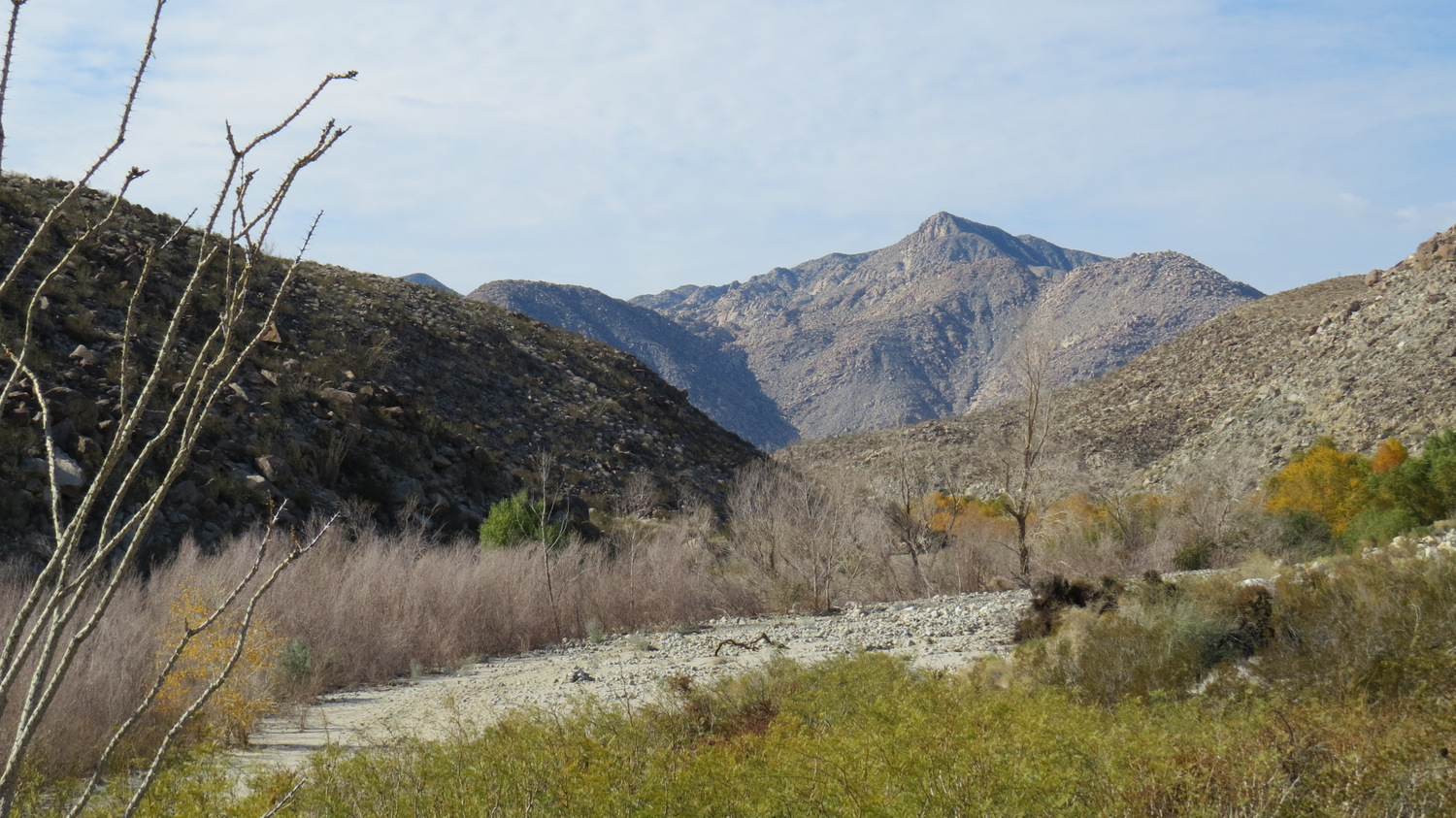
At 1.7 miles, the vegetation clears out in an abrupt transition back to arid lower desert habitat. Instead of continuing northwest along the wash, look for a trail (Lower Willows Trail) splitting off on the left. This single track will climb up over a rise and then thread through catclaw and other spiny demon plants just north of the riparian area. As you scan the riparian area to your south, see if you can spot a cluster of California fan palms. This is your next destination on the route.

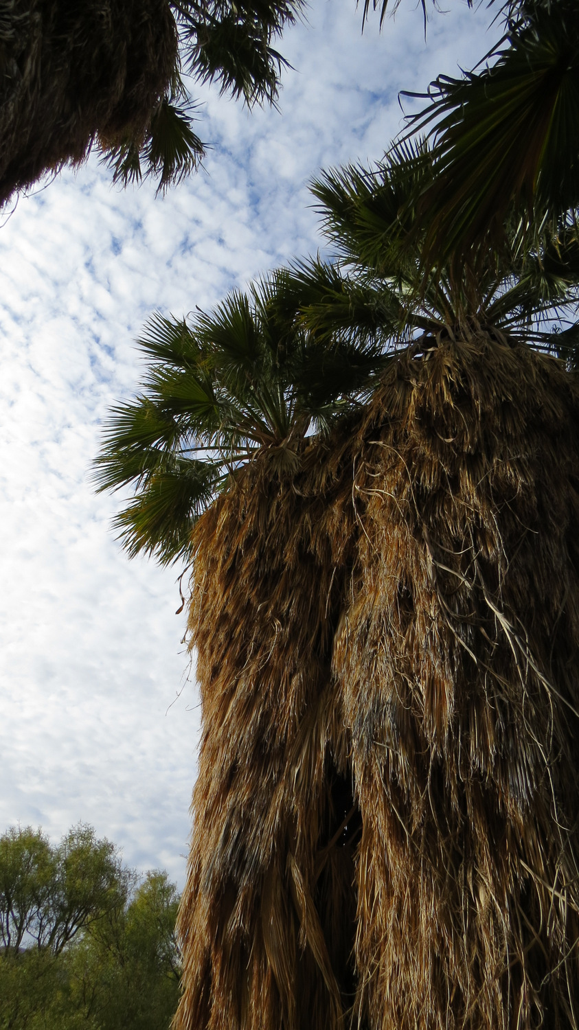
As you continue south on the Lower Willows Trail, look to your left for a clearing in the vegetation at just shy of 2 miles with a faint path leading toward the cluster of palms. Follow this faint path through a thicket of arrowweed (it’s not too scratchy) and continue pushing through until you reach the shade of this small, but picturesque grove. The cool shade and tranquil ambiance of the grove supplies an ideal opportunity for a break.

Mammillaria (Fishhook Cactus)
Retrace your steps back to the Lower Willows Trail, and turn left to resume southerly travel. At 2.4 miles, you will connect with a jeep trail that will lead you back to the Bypass. As you follow the road, you will pass through lower desert habitat complete with cholla, barrel cactus, Mammillaria, and creosote. A bevy of springtime wildflowers throw splashes of color across the sparkling white sands, and views toward Flat Top, Collins benchmark, and Palm Mesa attract the eye from time to time.


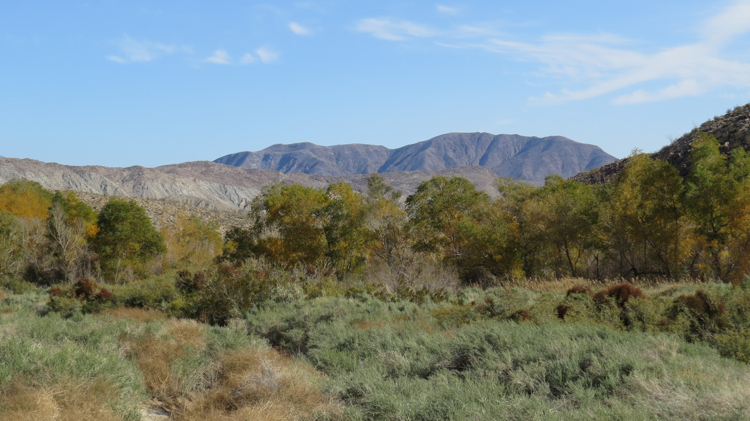
You reach one final diversion at a junction (3.2 miles) with a spur road leading toward the Santa Catarina monument. Turn left onto this junction and follow the road toward a low knoll. Just to the left of the knoll, you will see the weathered monument describing the role this spring played when de Anza’s expedition passed through Coyote Canyon on its way north through California. From this slightly elevated perch, you will gain your most complete view across Lower Willows and the confines of Clark Valley.


Return back to the main road and turn left to continue east toward the Bypass. As you walk along this rugged, rocky, and steep road bed, take a moment to appreciate just how ridiculous it would be to try to drive over this road. Nowadays, only raised 4WD vehicles driven by skilled, experienced drivers can make it over the bypass. It’s possible that you may encounter such vehicles on your way down. Give them a wide berth, as they’ve got some serious work to do.


At the bottom of the bypass, continue east as you approach the Third Crossing of Coyote Creek. Once beyond the third crossing, you will reach your car at the parking area adjacent to the trailhead.
Tags: Anza-Borrego Desert, Collins Valley, Coyote Canyon, Coyote Canyon Road, Lower Willows, San Diego County, Santa Catarina Spring, Third Crossing


