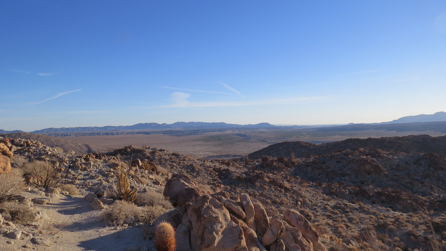
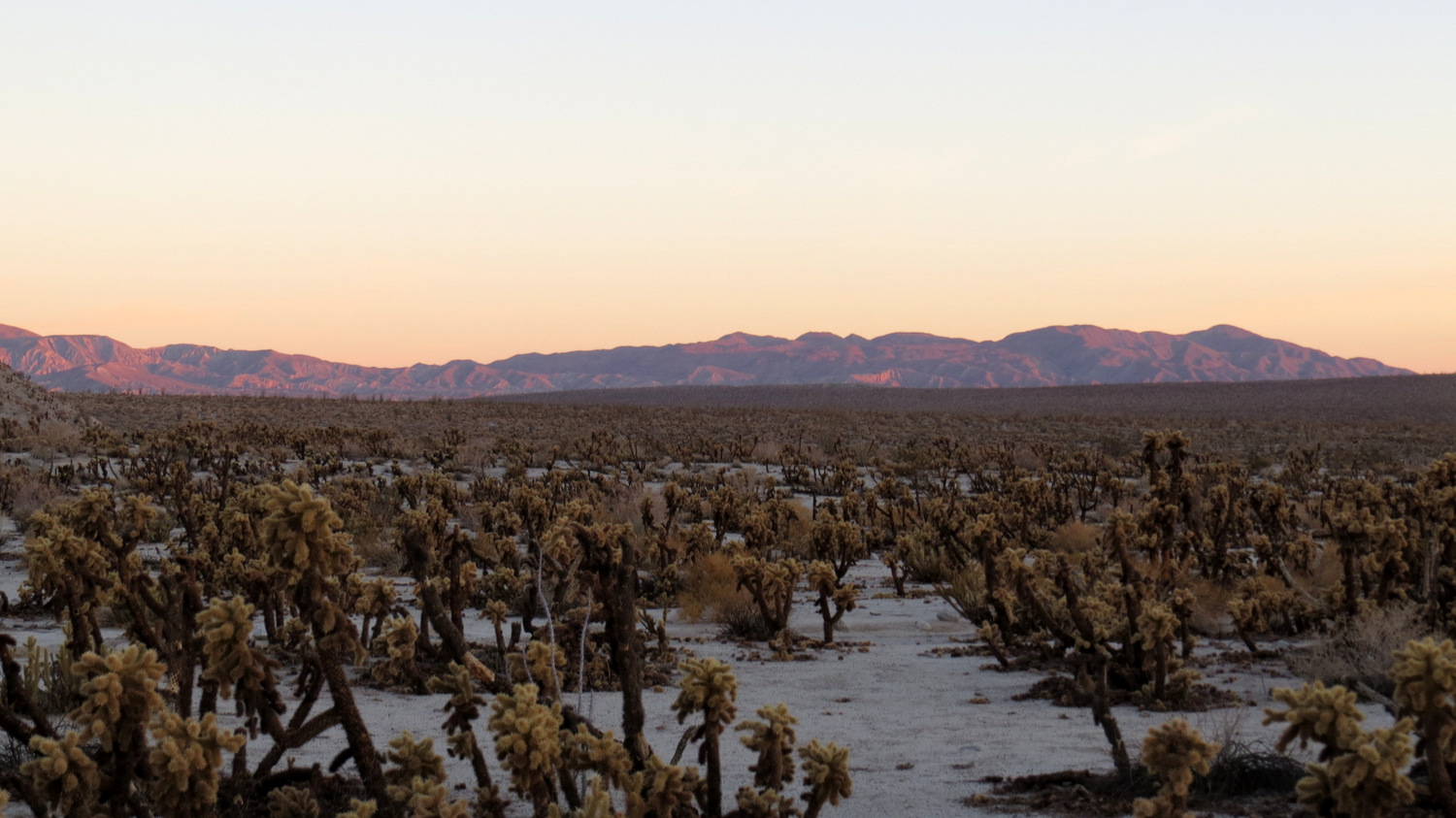
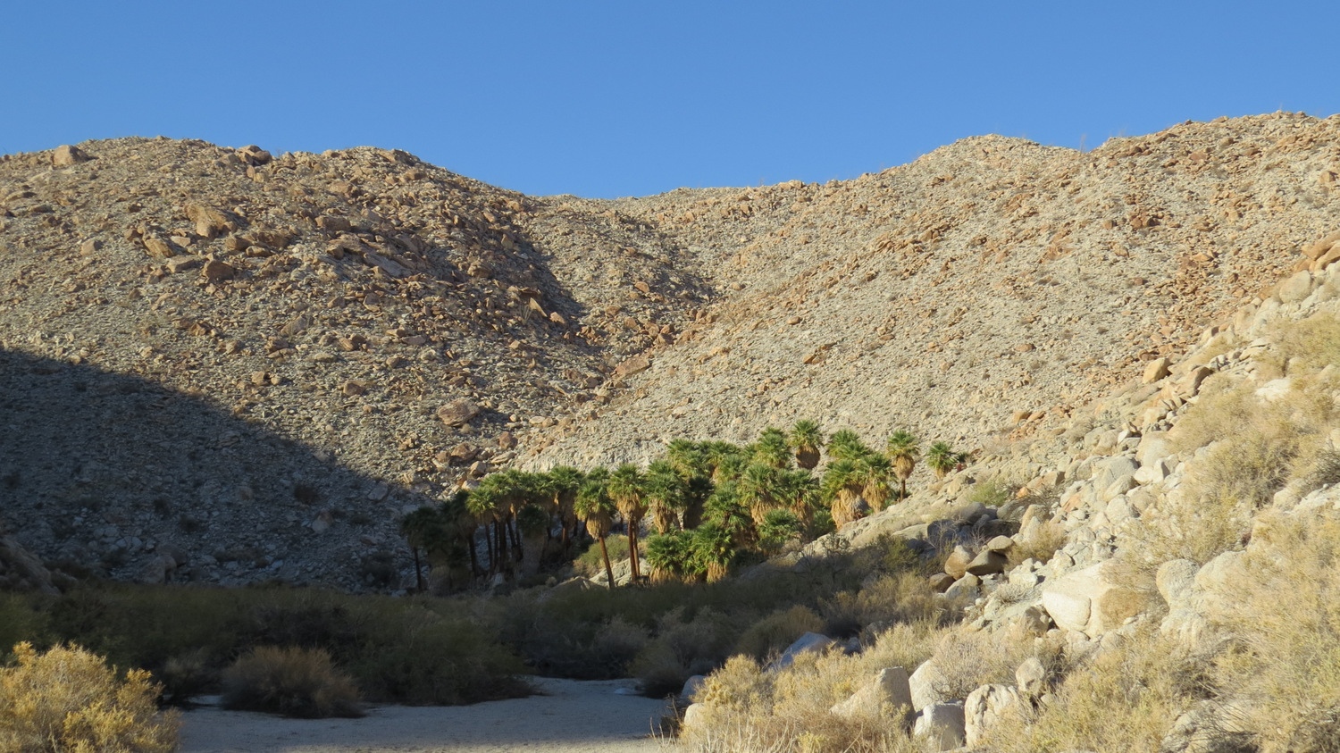
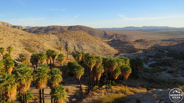
At first glance, Anza-Borrego Desert State Park appears to be a lifeless, beige wasteland with equally lifeless, beige peaks rising up from endless plains covered in spiny demon plants and cursed with punishing sunshine and unquenchable thirst. These inhospitable qualities serve as the perfect cover for beautiful surprises that betray the desert’s outwardly lifeless appearance. One of the great surprises in the southern half of Anza-Borrego Desert State Park is the presence of a cluster of 7 California fan palm groves tucked into a series of shallow canyons at the foot of the Tierras Blancas Mountains at Mountain Palm Springs.
Marys Grove
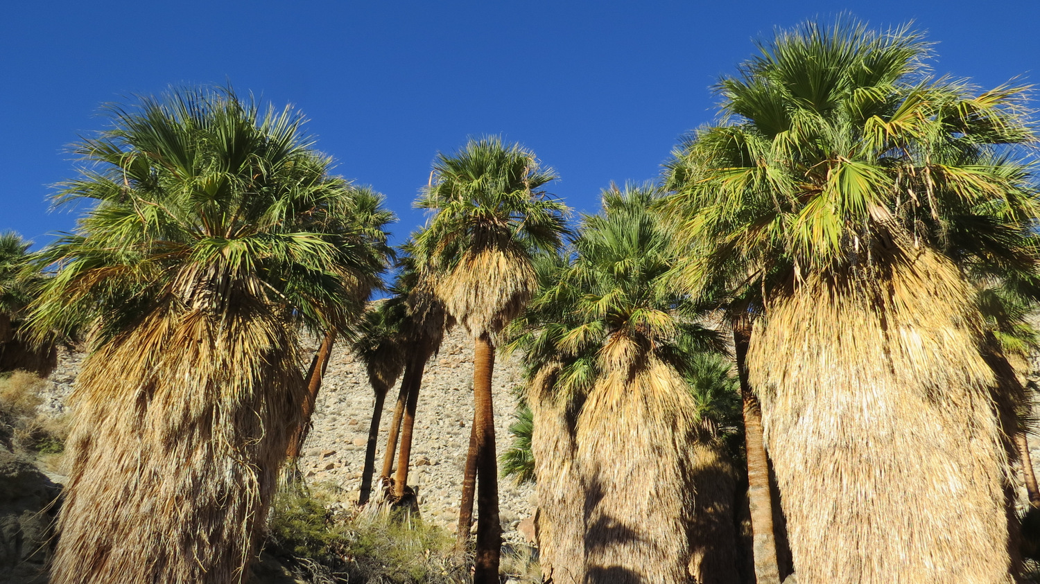
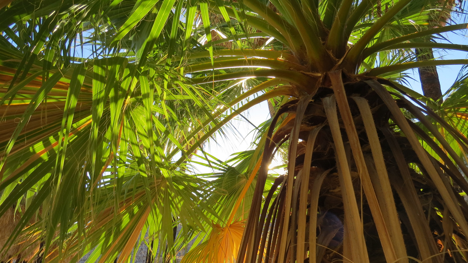
The California fan palm, along with its sibling, the Mexican fan palm, is ubiquitous in the urban fabric of Southern California. These two trees, which hybridize easily, have become famous ornamental fixtures along spacious urban boulevards. However, there is a lot more to the California fan palm’s story than simply being a famous, albeit diminishing fixture in urban skylines. The California fan palm is the only palm native to the western United States, and it is also the largest palm species in the country. The tree is a tropical relic that inhabits the Colorado Desert, which is one of the driest and hottest places on the planet. As a parade of ecosystems spanning millions of years has come and gone through California’s desert interior, the California fan palm is a fixture that has clung tenaciously to life while becoming a crucial fixture in the life of desert animals.

Sunrise at Pygmy Grove
The theory for how the palm got here begins with tectonic movement. The land that currently occupies the region surrounding the Salton Trough has moved 200 miles north from its position in tropical Mexico over millions of years. As that land moved, it took the California fan palm with it, splitting it off from the Mexican fan palm and creating a separate, although very similar species. Despite endless climatological changes, the ever-thirsty palm trees (which can consume up to 200 gallons of water per day) persisted in places where major faults such as the San Andreas and Elsinore Faults allowed subterranean water to percolate up to the surface where it would emerge at natural springs along canyon bottoms. These permanent water supplies are the perfect sources to satisfy the palms, and the plant continues to thrive wherever regular water sources persist.

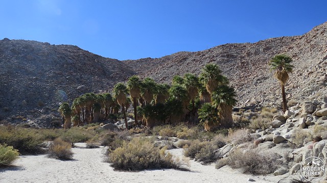
Southwest Grove
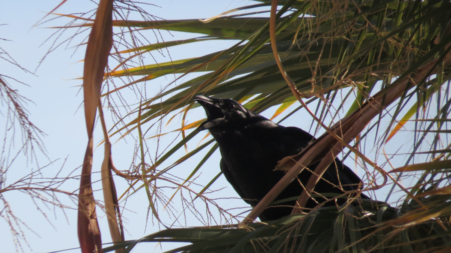
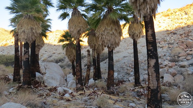
In addition, the California fan palm and the oases they occupy are an important part of the desert ecosystem. The presence of water is a magnet for wildlife, including coyotes, mountain lions, bighorn sheep, and countless amphibious, reptilian, aviary, and mammalian species. The fruit from the palm is an important food source for coyotes, which help expand the range of the tree through leaving palm seeds behind in their scat. The trees were also an important food source and building material source for Native Americans, who also developed the habit of setting palm groves on fire. Palm trees are fire-tolerant by virtue of the heavy volume of moisture they contain. Fire wipes out competing vegetation, allowing more room for palm saplings to emerge and appropriating more water for palm consumption.
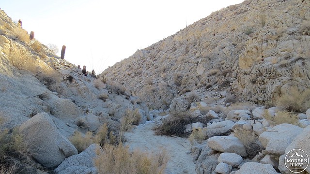
Looking back toward Bow Willow Canyon from the trail to Indian Gorge
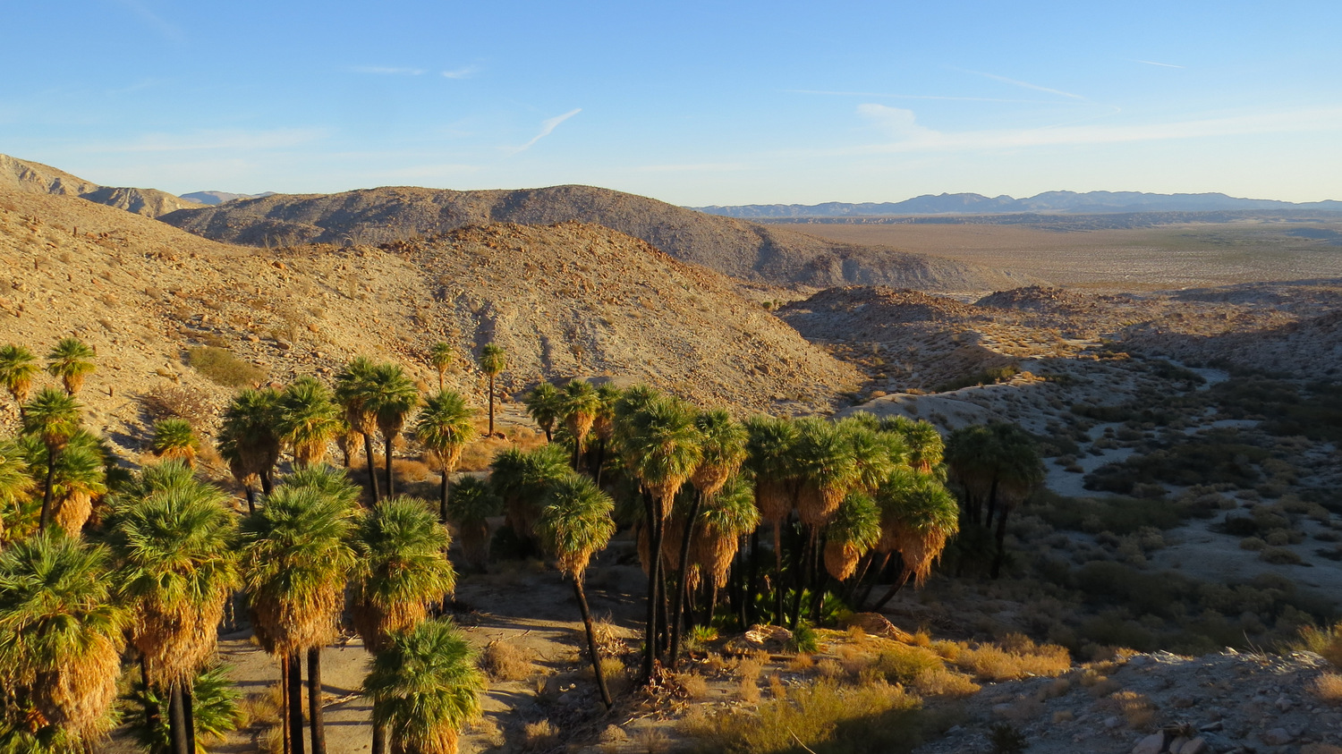
This 3 mile loop will take you through four separate palm groves, including Pygmy Grove, Southwest Grove, Surprise Canyon Grove, and Palm Bowl Grove (which is not included on the track, but is a very simple side trip to add on). This trip also has an optional side trip (also not tracked) that reaches Torote Bowl, where you can find a small grove of the rare and bizarre elephant tree. This write-up will also describe an optional side trip (not tracked either) into Mary’s Grove and North Grove, which culminates on the precipice of Indian Gorge just to the north of the Mountain Palm Springs canyon system.
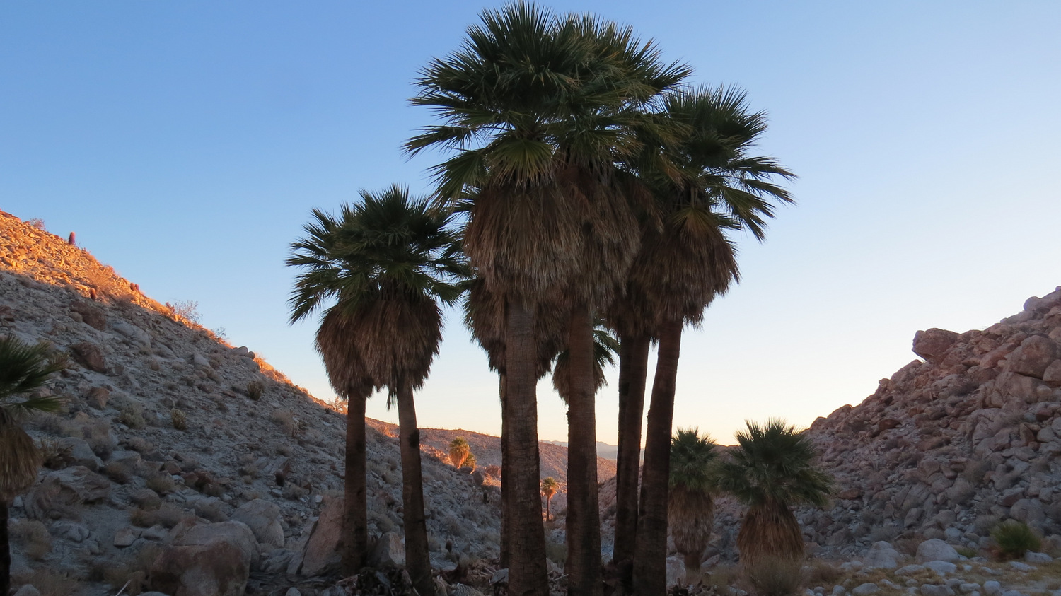
Pygmy Grove
Beginning from the parking lot for the trailhead, commence walking in the direction of a canyon with a handful of palms clustered at the opening. Off to the left side of the wash, you will find a semi-formal trail that occasionally disappears into the wash only to reappear later. Within a matter of minutes, you will find yourself in small-ish Pygmy Grove with the sparkling white granite of the Tierras Blancas Mountains rising up for a hundred feet all around you. Pygmy Grove received its name when the palms here were much smaller, and it’s possible that a flash flood wiped out the original grove, which is what happened at Borrego Palm Canyon in the northern part of the park. You’ll notice some fire scarring on even the healthiest of trees, which should give you an idea of how well adapted these trees are to fire.
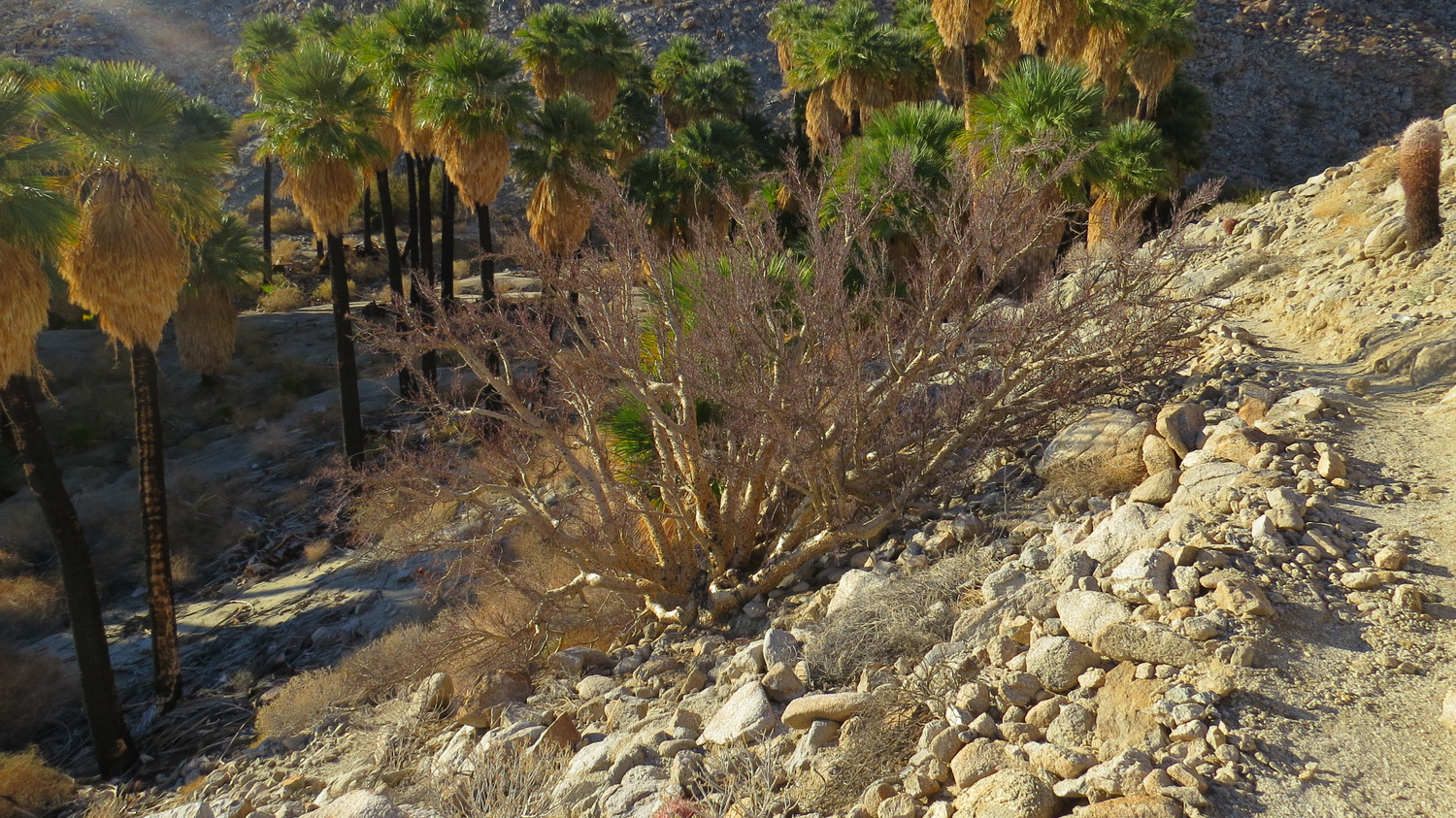
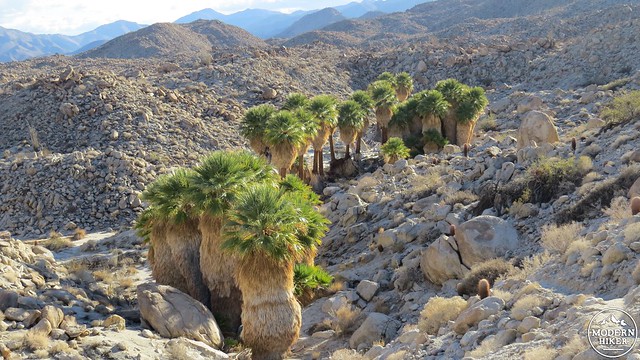
Southwest Grove from the Torote Bowl Trail
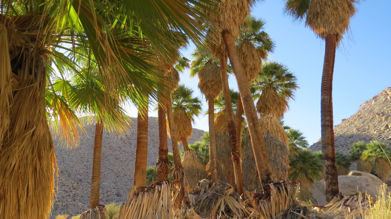
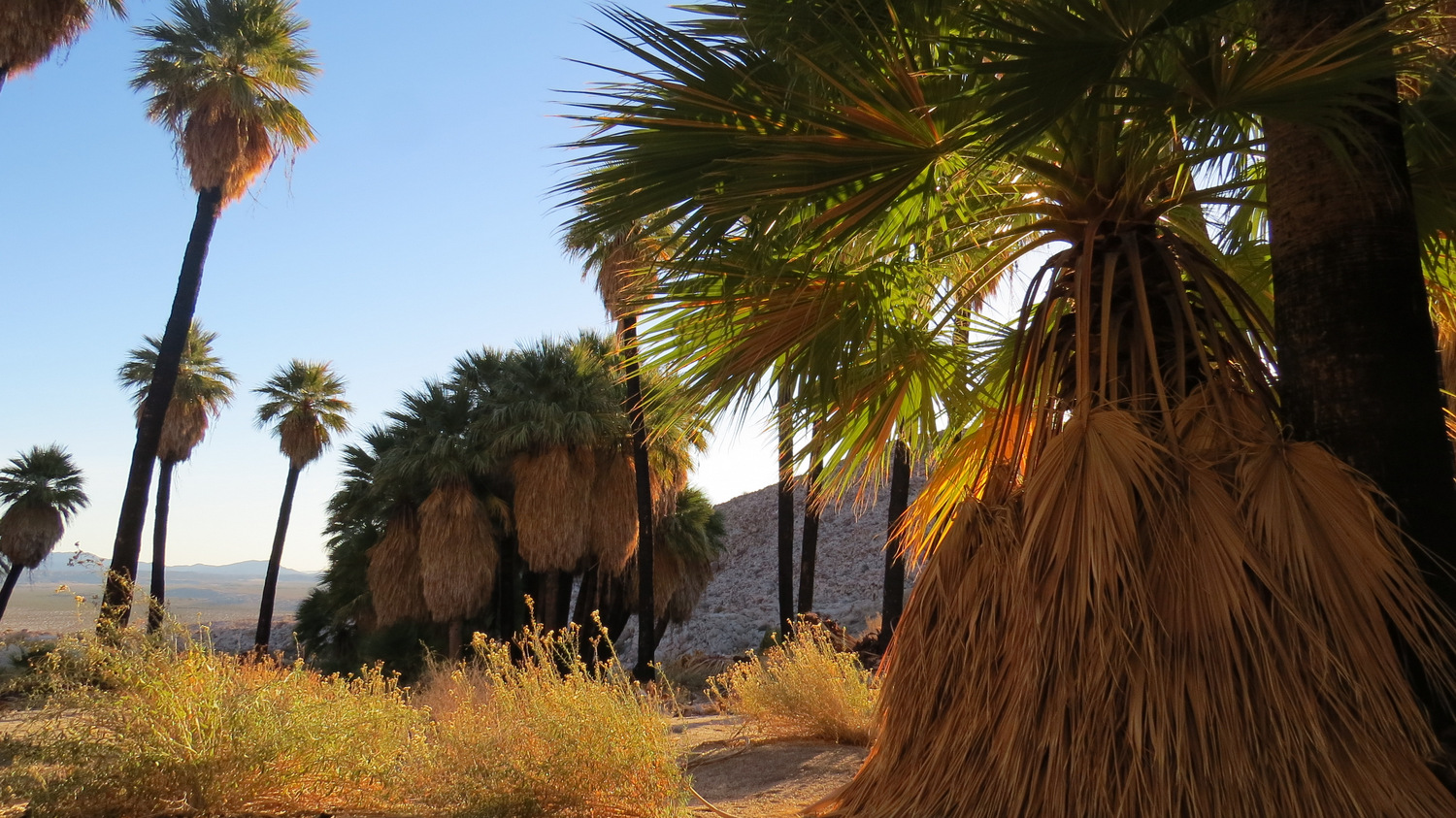
After passing the grove, keep to the left side of the wash to find a well-defined track that will ascend gently toward the next grove. At .7 mile, you will reach Southwest Grove, which is the largest grove you will encounter on this route. Southwest Grove contains around 100 trees, and at this location you will see a lot of ground water, which supports any number of amphibians, rodents, reptiles, birds, and snakes. Southwest Grove is a fantastic place to sit and rest, and this is one of the few places in the desert where you can bask in cool shade. It’s not a bad idea to break up your hike with some repose at this spot, as the next mile+ will involve an undulating traverse over a rocky ridge to reach Surprise Canyon.

Detail of an elephant tree
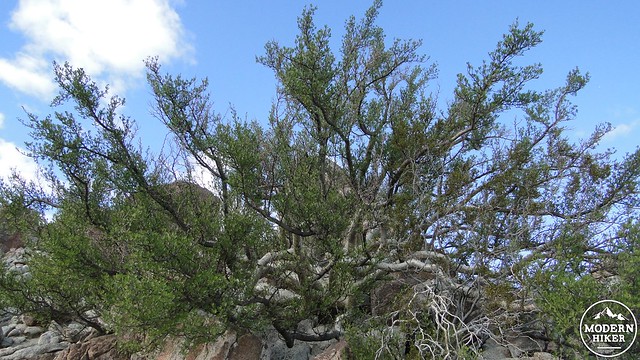
Elephant Tree
Southwest Grove is also the junction point for an old trail that receives continued state park maintenance that runs between Bow Willow Campground and Surprise Canyon. This may have once been an old Indian route, but it now functions as access to two destinations; if you stick to the left side of the grove, you will find a trail that makes a steep ascent up the southern wall of the canyon toward Torote Bowl and Bow Willow Campground. The route to Torote Bowl adds another 1.25 miles to the trip as it visits a rocky bowl featuring several elephant trees. The Spanish name for elephant trees is “torote,” which literally means “twisted,” although the morphology of the word also suggests a relationship with the word “torture.” Get a good look at this tree, and you will see why both words are apt.
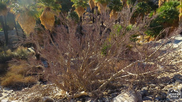
Elephant Tree just past Southwest Grove before traversing the ridge
View over the Carrizo Badlands
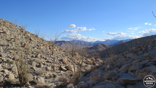
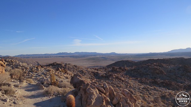
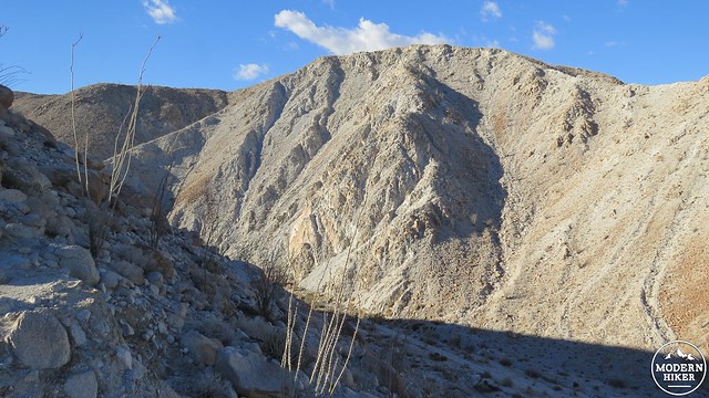
If you opt to omit the steep diversion to Torote Bowl, you will find the obscure trail on the right side of the canyon toward the end of the grove. This trail will make a hard right to begin ascending a rocky slope. If you felt any regret on missing the elephant trees, rest assured that you will encounter one fine specimen almost immediately after leaving the grove. The trail will reach the top of a wide, flat ridge, which you will traverse for about a mile. The trail here is well-worn, but it requires some attention to keep to it since the terrain is so rocky, and there are a few spots where it would be easy to go the wrong way. Following the GPS track will do you some favors in this regard, but your chances of getting lost are minimal if you pay attention. Be sure to stop along the way to take in the fine views to the east of the corrugated landscape of the Carrizo Badlands.

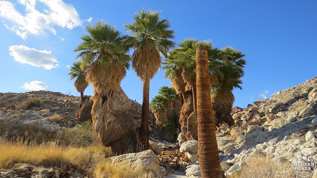
Surprise Canyon Grove

Surprise Canyon Grove
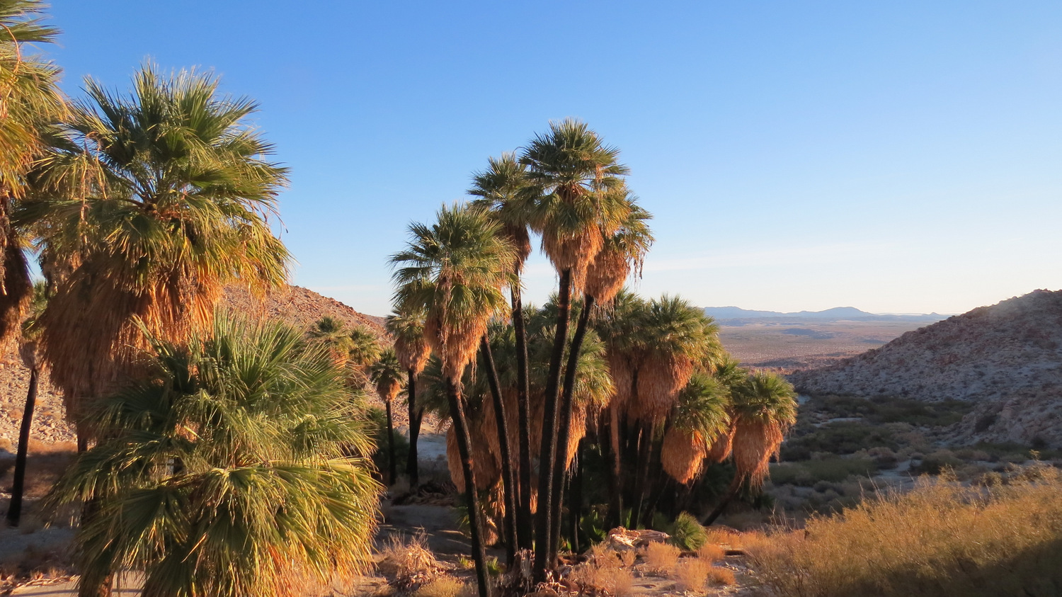
The ridge you are traversing comes to an abrupt end at the cusp of Surprise Canyon, which undoubtedly got its name from its unexpected and fairly obscure location. The trail will drop down into the scattered Surprise Canyon Grove. At the base of the canyon, you have the option to go left to visit beautiful Palm Bowl Grove. Or, you can turn right to follow Surprise Canyon back to the parking lot. For the sake of the full trip, turn left and walk along a sandy wash that squeezes through a narrow ravine before opening up onto a spacious amphitheater-like bowl with a large grove of palms at the western end.

Palm Bowl Grove 1
Palm Bowl Grove 2
After crossing a sandy plain choked with catclaw and mesquite (neither of which are particularly friendly), you will reach the base of Palm Bowl Grove. If you find the faint social trail rising up into the slightly elevated grove, you can follow it to pass between the palms and arrive at a beautiful sandy flat that would be perfect for backpacking. If you are not backpacking, this is an ideal spot to soak in the shade while enjoying lunch as birds and butterflies flutter by.
Ravine leading out of Palm Bowl to Surprise Canyon
Indian Gorge
From Palm Bowl Grove, you will retrace your route across the plain, through the ravine, and down the sandy bottom of Surprise Canyon. Right before Surprise Canyon merges with a second canyon that contains North Grove and Mary’s Grove, bear right to find the trail that will bend to the right to return you to the parking lot.
North Grove
If you have an appetite for more hiking and want to visit North and Mary’s Grove, bear left at the bottom of the canyon and follow the wash as it climbs gently toward another grove of palms. This is North Grove, which contains a handful of fine palms. Just past North Grove, select the more defined of the two washes to the left, and continue ascending up the canyon until you come to lovely Mary’s Grove, which has more trees than North Grove and offers more comfortable places for repose. At the north end of Mary’s Grove, a trail will begin winding up a slope and will continue following a wash until it reaches a saddle. At this saddle, you will come to the somewhat startling and unexpected precipice of Indian Gorge, which will bottom out a few hundred feet below you. This is an inspired spot, but it would be a little dangerous to try to go any further down the canyon. When you are finished, return the way you came and continue to follow the canyon as it descends back toward the junction with Surprise Canyon and toward the parking lot.
Tags: California Fan Palm, Elephant Trees, mountain palm springs, oasis, Palm Bowl Grove, Southwest Grove, Torote Bowl