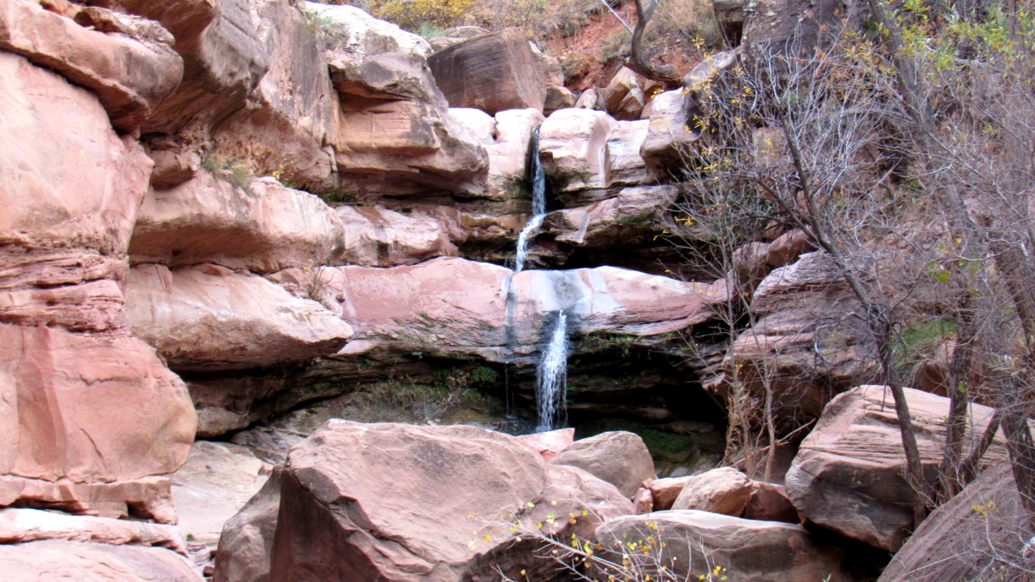
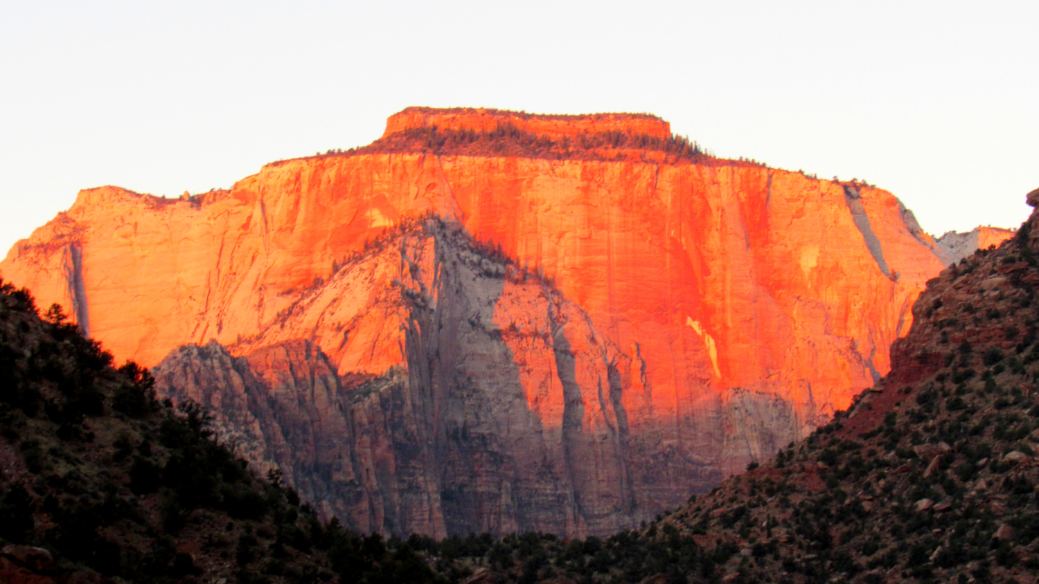
Angels Landing. The Narrows. Emerald Pools. The Subway. Observation Point. With so many show-stoppers in Zion, and with so little time to see them all, you would be excused from not straying off the beaten path (or the beaten riverbed) while you execute your ambitious hiking agenda. But if you want to sneak in a few gems before you share the summit of Angels Landing with a hundred of your closest friends, consider this idyllic waterfall tucked into an easily reached canyon right off of Highway 9.
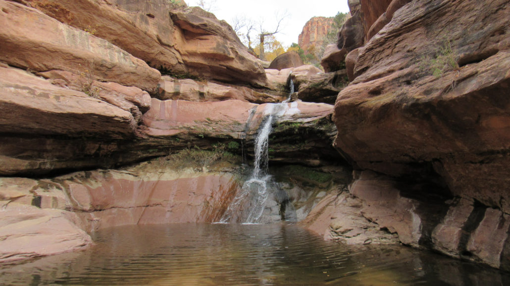
Lower Pine Creek Falls is actually one of several waterfalls within the deep crease of Pine Creek Canyon. Most people know this tributary canyon as the road with all of the tunnels carved directly into the side of the cliff. The upper reaches of the canyon offer technical canyoneering options, but the lower portion has few significant obstacles, making this short trip to the falls easy enough for almost everybody.
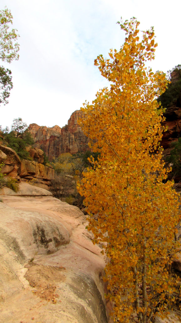
The informal trail to the falls starts from a small parking area on the first curve after Highway 9 turns east at Canyon Junction. Follow the informal path through Great Basin sagebrush toward a woodland of oaks, cottonwoods, junipers, and pinyons on the north bank of Pine Creek.
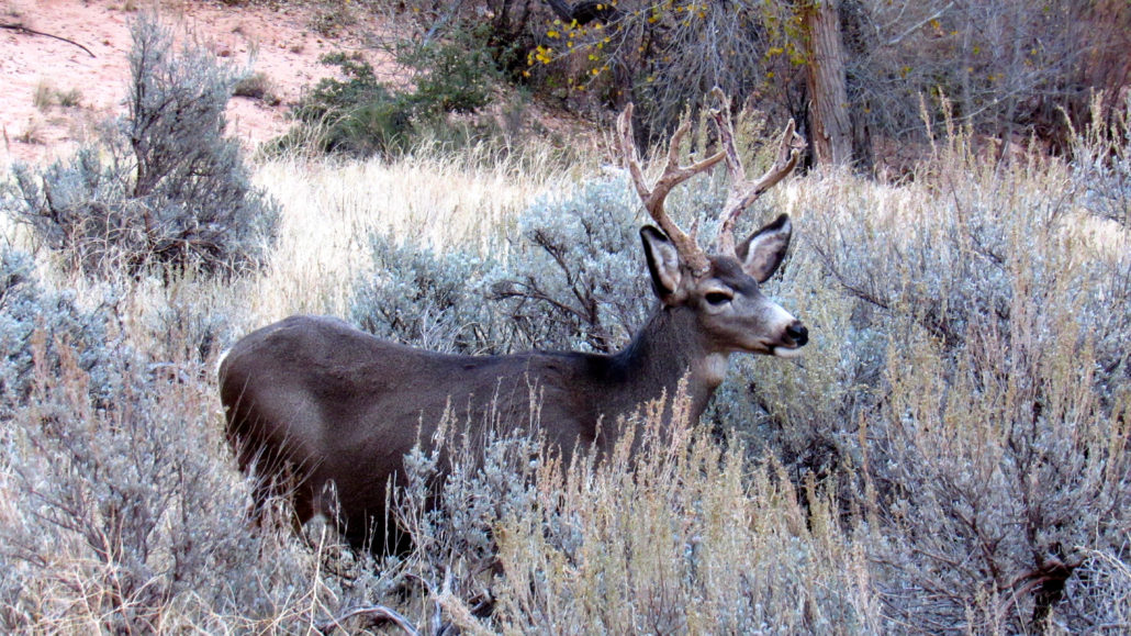
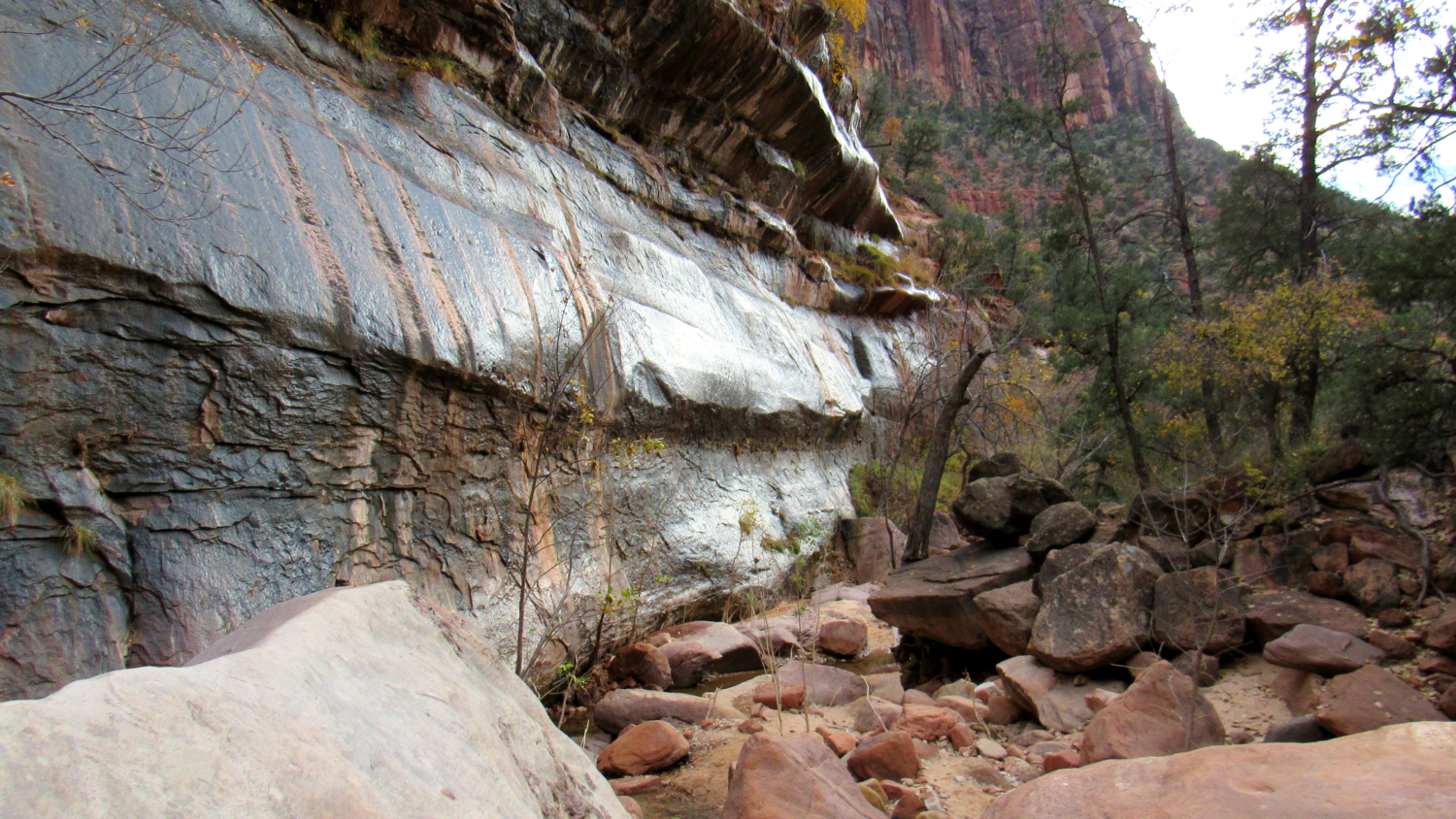
After passing through the trees, the path brings you to a creek crossing. Hop over the gentle trickle of Pine Creek and work your way through a small space between two large sandstone blocks on the right bank to drop back down to the creek. Once past the boulders, the right bank becomes impassable. A gently sloping sandstone bench on the left bank offers fairly easy passage toward the waterfall just ahead. Watch your feet on the sandstone since it can be a little slippery.

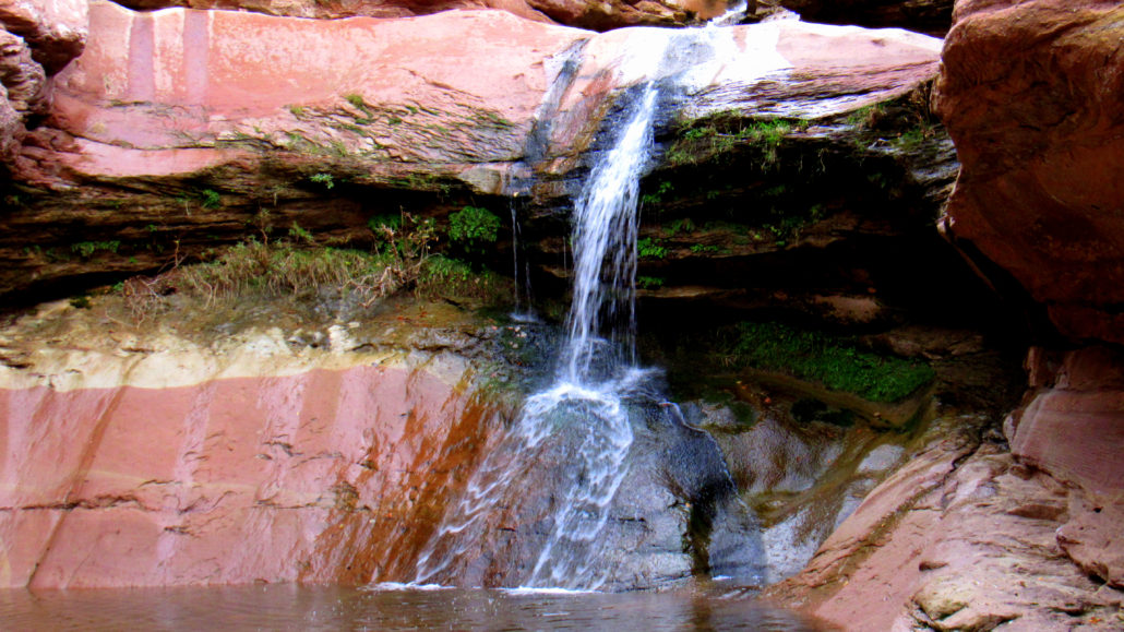
Just beyond the sandstone, you’ll cross back over the creek to the right bank again. One last obstacle remains as you have to climb up and then crawl over a large boulder with an even larger boulder propped above it. Once through this tiny tunnel, you will find yourself at the sandy base of Lower Pine Creek Falls.This waterfall spills in two parts over a sandstone shelf into a cool, shaded pool. This is a relaxing spot to sit and enjoy the sound of falling water. On hot days, hikers may take a dip into the pool. Periods of rainfall bring the falls to life, although the creek’s flow may become too high for people to make it to the waterfall.
If it’s an active thunderstorm day, or storms are forecast to occur in the near future, avoid the canyon. Flash flooding could make this short, simple trip fatal.
Tags: Lower Pine Creek, Pine Creek, waterfalls, zion


