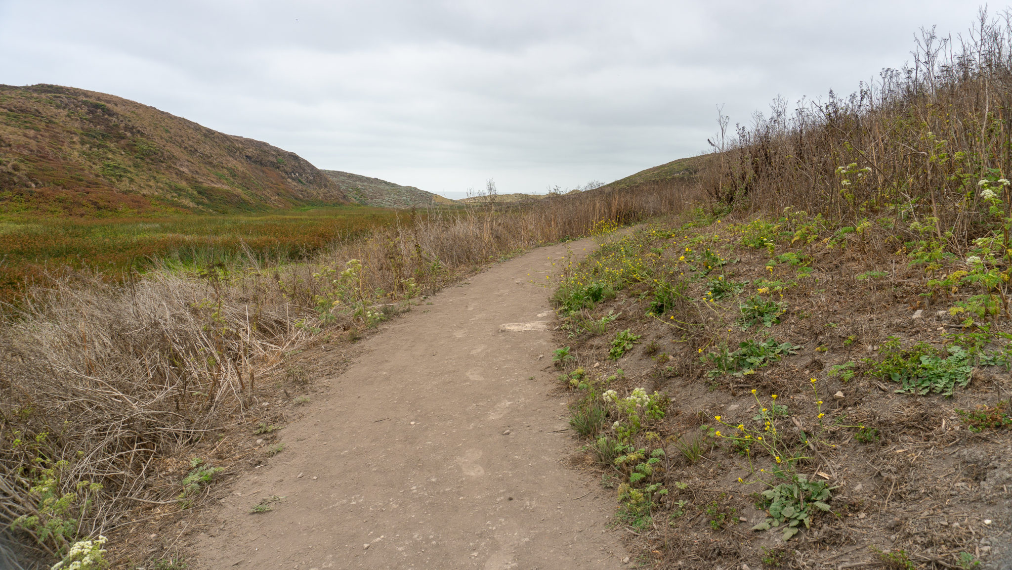
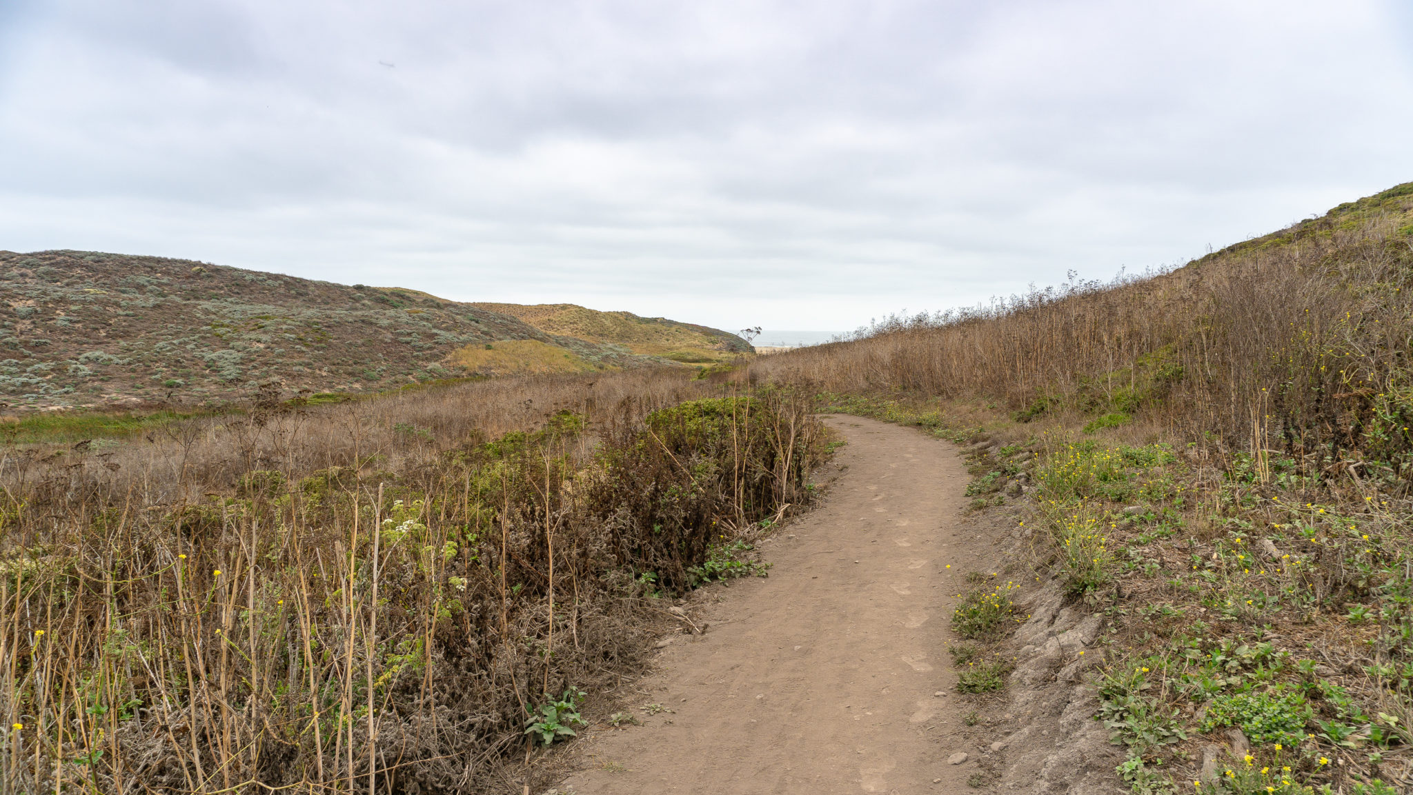
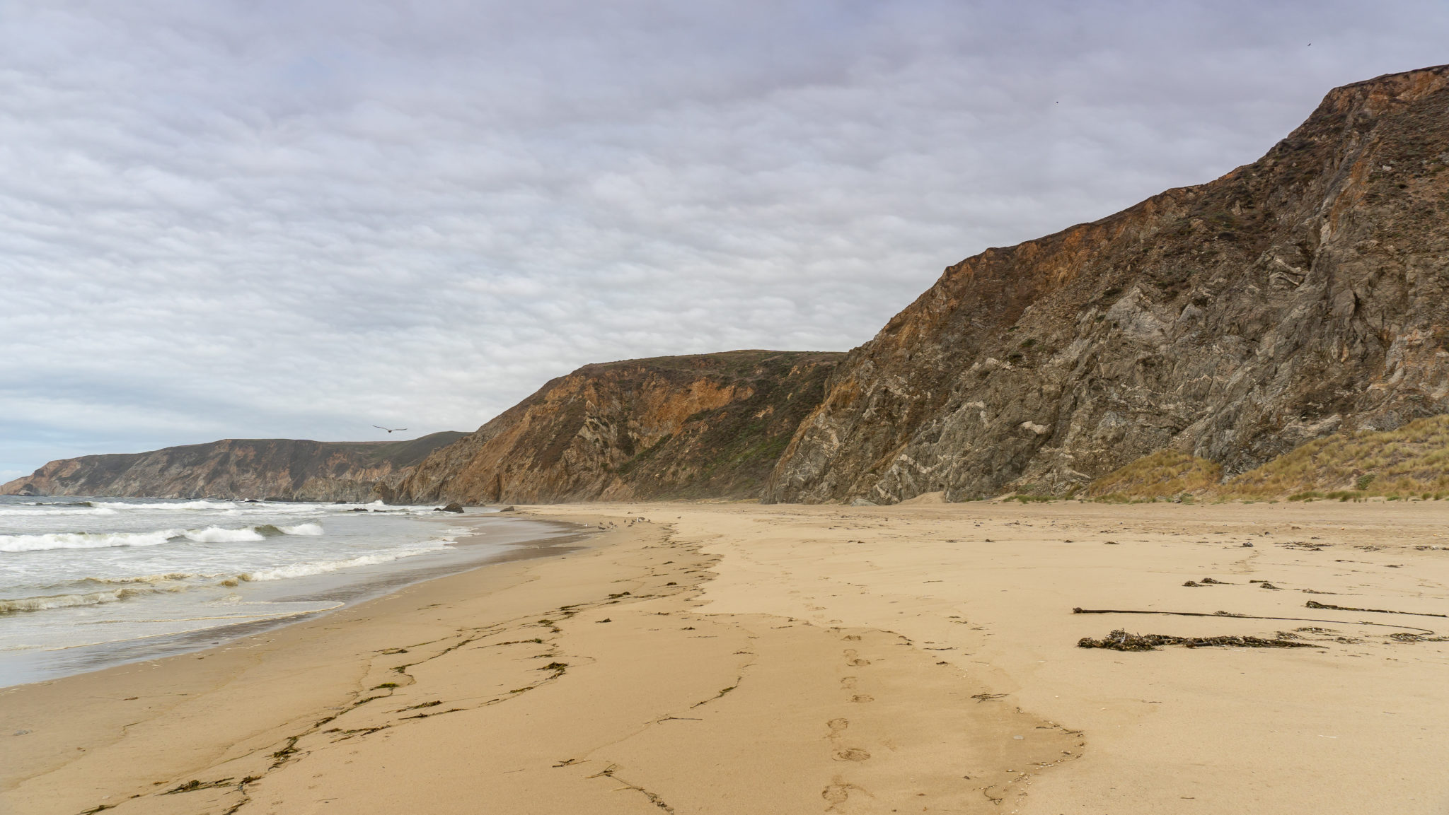
The Kehoe Beach Trail is a 0.6-mile hike to a crashing Pacific Ocean, sandy beach, and millions-year-old rock formations. It is one of the few dog-friendly trails and beaches in Point Reyes National Seashore. Kehoe Beach itself is on the northwestern side of Point Reyes National Seashore, a 50-mile drive northwest of San Francisco. You can do this hike as a 1.2-mile out-and-back. This 2.5-mile route goes a bit further north along the beach to see the incredible rock formations and then south to visit the marsh before heading back.
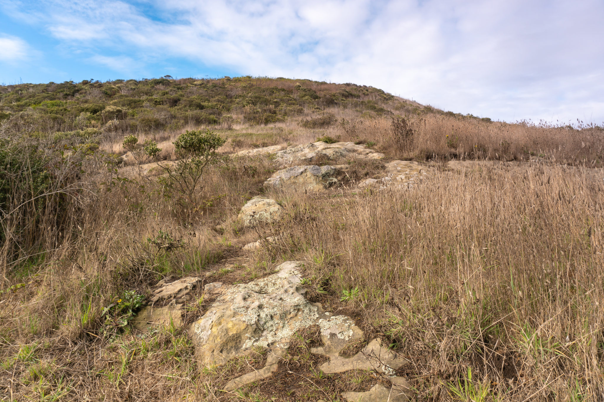
Start your hike from the Kehoe Beach Trailhead, heading west toward the ocean. The nearly flat dirt path parallels Kehoe Marsh for 0.6 miles along sprinkles of California poppy and non-native mustard. White-crowned sparrows (black and white striped head, brown and white feathers on its back) sing and flit among coyote brush.


Kehoe Beach is named for the Kehoe family, who have been ranching on Point Reyes Peninsula since the 1920s and still operate a dairy known as “J Ranch.” The ranch is the northernmost of the alphabet letter-named Point Reyes Ranches. After California became a state in 1850, a San Francisco law firm acquired 50,000 acres of land on the peninsula and broke it up into alphabet-lettered parcels, starting with the letter A at the Point Reyes Headlands. The letters and parcels climbed north along the peninsula’s western seashore up to J where Kehoe Beach is now. Then the names turned south along the seashore’s eastern border, ending in W at Mount Wittenberg.
In 1962, Congress and President John F. Kennedy officially created the Point Reyes National Seashore, eventually acquiring 71,000 acres of land. They made a deal with ranchers that the government would provide 25-30 year leases to the ranchers so they could continue ranching on the land. Today, over a dozen ranches raise beef and dairy cows at Point Reyes National Seashore. It is why you see (and smell) so many cows along the roads and trails at Point Reyes National Seashore.

In 0.5 miles, reach a signed Y-junction. The left-hand fork leads down to a marsh and connects to the beach. The right-hand fork leads directly to the beach. As you can see on the sign, the left-hand trail is closed to dogs between March 1 and September 30 to protect western snowy plovers during their breeding season.

The “snowies” are shorebirds with white bellies, short black beaks, and gray backs and heads. After laying their eggs in the sand, males and females take turns nesting atop the eggs for about twenty-eight days. The males then tend to the hatched chicks for another twenty-eight days after they are born. When humans, dogs, or horses approach, the snowie parents may temporarily fly away in response, leaving their eggs and chicks exposed and vulnerable. The U.S. Department of Fish and Wildlife listed the snowies as a threatened species in 1993.

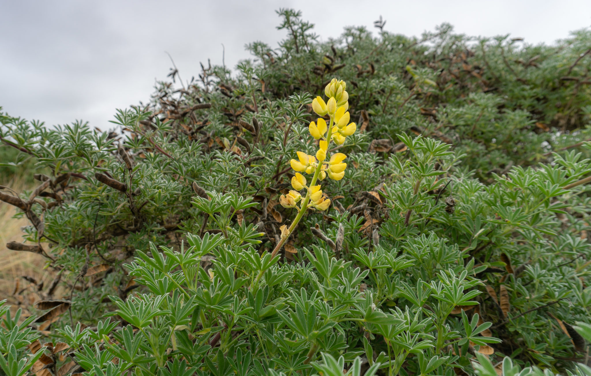
Stay straight on the main trail towards the beach. At the 0.6-mile mark, crest a sandy saddle marked with a pet restrictions sign. To its right, an unofficial trail climbs to the top of the dunes. In springtime you can see tidy tips, goldfields, and yellow bush lupine erupt in the hillocks.


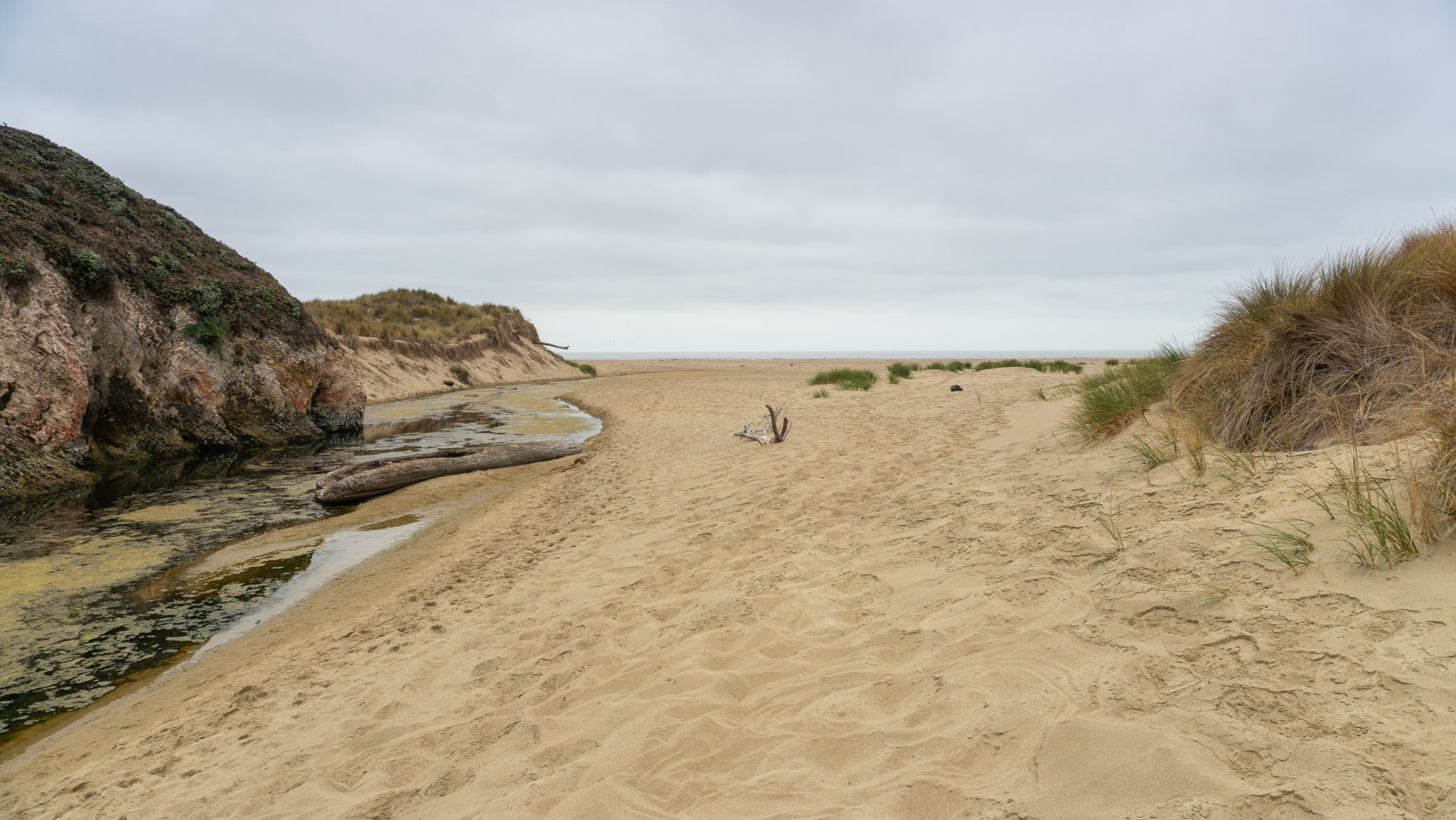
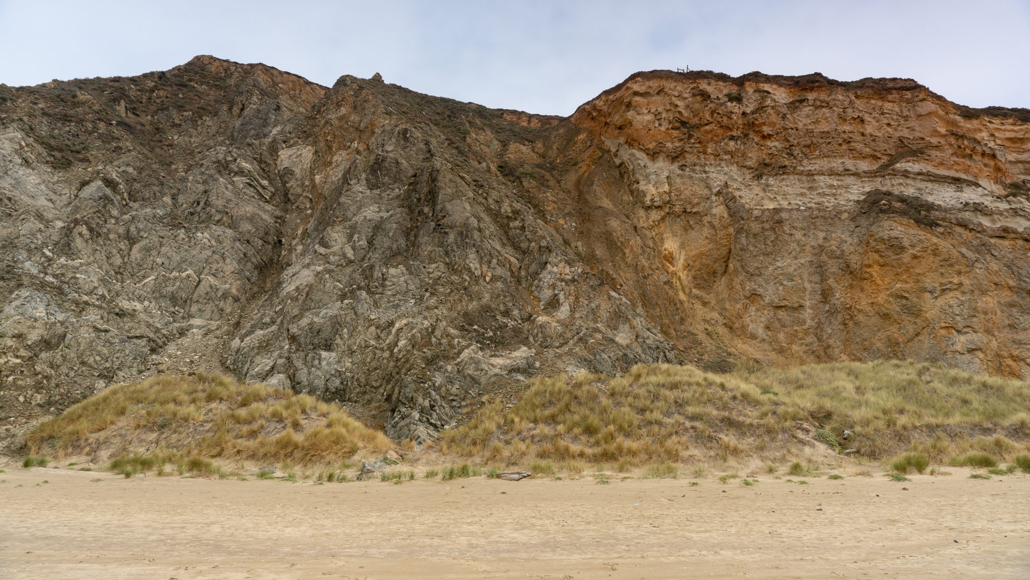
Descend the sandy saddle to Kehoe Beach, sloshing your way through sinking and deepening sand. Immediately to your right is a jagged stretch of rocks from the Monterey Formation. The formation is sedimentary rock made up of silica skeletons of plankton that drifted to the ocean floor 6-8 million years ago. They piled up and compressed into the rock you see here. Its chipped appearance has to do with its transformation from sediment to rock and wear and tear as it was uplifted and moved northward on along the San Andreas Fault — the infamous tectonic plate boundary between the Pacific Plate to the west and North American Plate to the east. The Point Reyes Peninsula is located on the Pacific Plate and is moving today at a rate of 1.4-2.0 inches per year.

Turn right and head north along Kehoe Beach. The next rock you see is Laird Sandstone, a beige-colored sedimentary rock created during the Cenozoic era, about 10 million years ago.

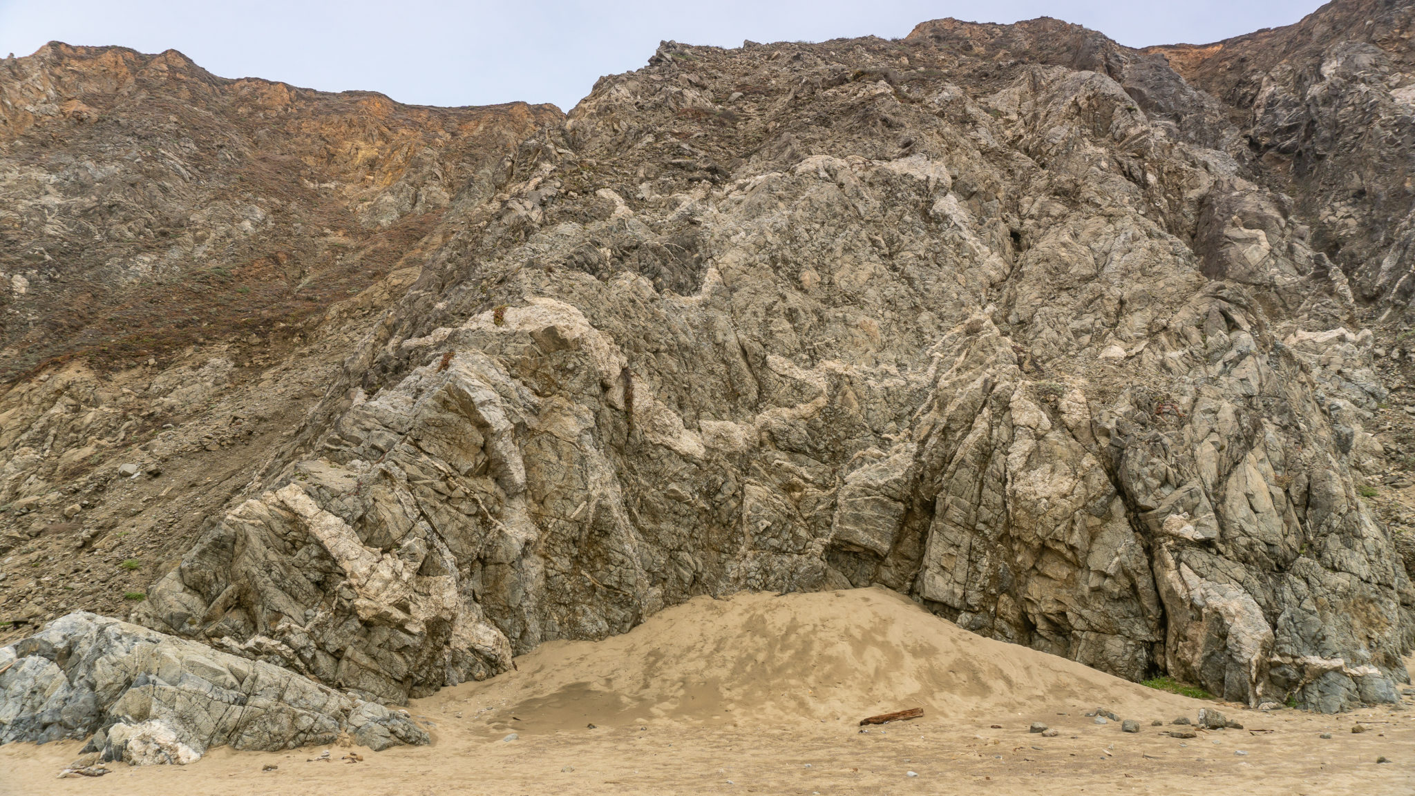
Beyond the Laird Sandstone are darker granite rocks, a mix of igneous and metamorphic rocks called the Granodiorite and Granite of Inverness Ridge. The big white slashes you see are called “dikes” by geologists. These light-colored granitic rocks are aplite and alaskite. The conglomerate of rocks here date back to the early Mesozoic era (about 85 million years ago), and some reach as far back as the Paleozoic (over 250 million years ago)!

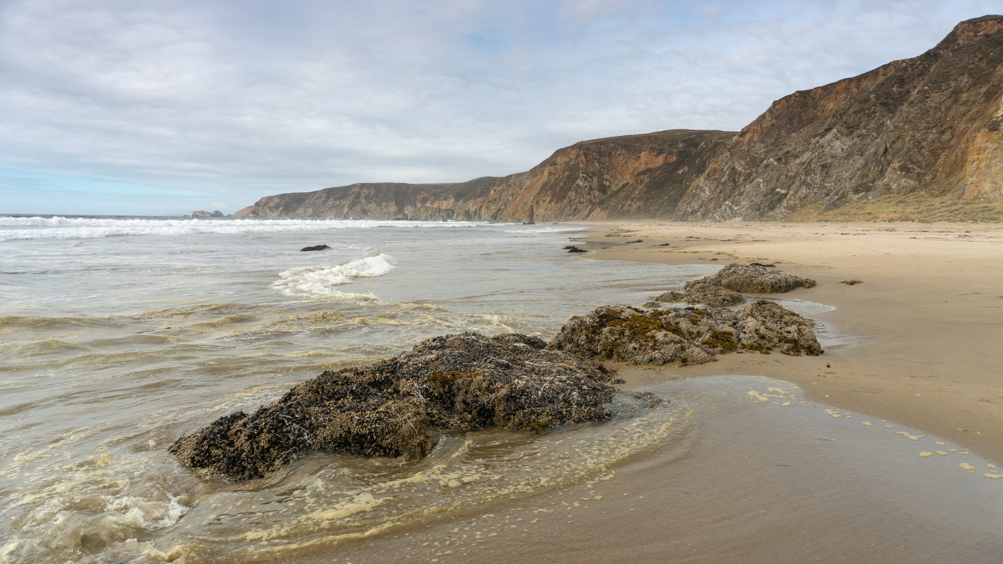
At the 1.1-mile mark, turn south to enjoy the crashing waves, foraging shorebirds, and sand bubbles from mole crabs in retreating waves. Since you are at the northern tip of 11-mile Point Reyes Beach, also known as Great Beach, it is possible to walk for miles and miles. You could even walk 2.5 miles south to Abbotts Lagoon.

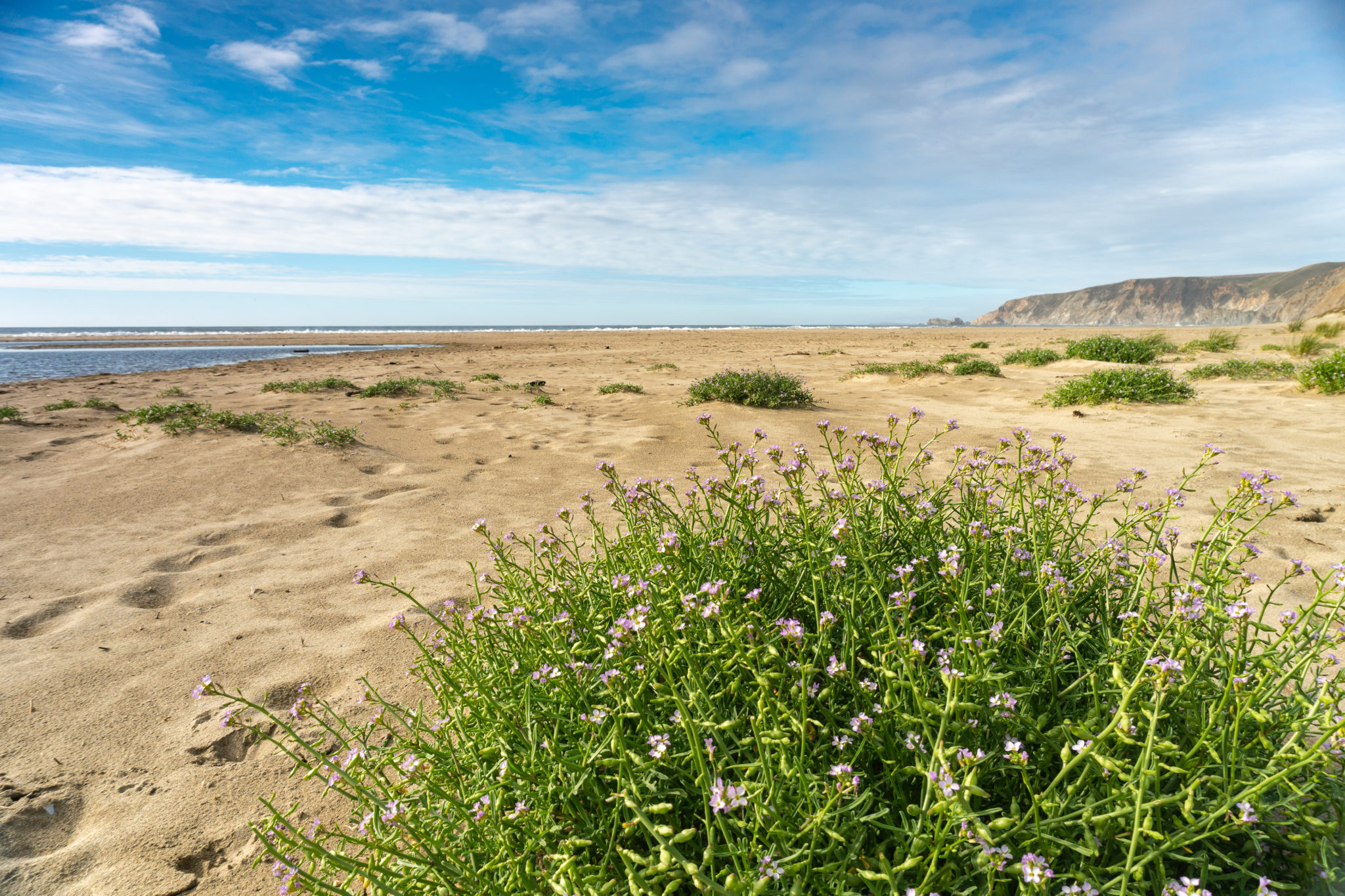
For now though, walk 0.6 miles south to Kehoe Marsh, where you may see Great Blue Herons. It’s 0.1 mile south of the Kehoe Beach Trail. Delicate purple searocket and yellow sand verbena pop with color from the sand.

When ready, take the Kehoe Beach Trail back to the trailhead, finishing your hike at the 2.5-mile mark. On the north side of the trail, a shelf of Laird sandstone reveals mortar carved into the stone, used by Native Americans to grind food like acorns. The Coast Miwok were the first inhabitants of the Point Reyes Peninsula. They hunted, foraged, fished, and managed this land for over 6,000 years. Unfortunately, many succumbed to European diseases, slavery, and oppression. When ranchers came to the peninsula in the 1850s to establish dairy farms, they marveled at the conditions for fostering dairy cows. Little did they know that it was likely thousands of years of burning and pruning the land by the Coast Miwok that created the favorable coastal prairies that cattle still roam to this day. Although stripped of their federal status in 1948, The Federated Indians of Graton Rancheria, composed of Coast Miwok and Southern Pomo groups, once again became a federally recognized tribe on December 27, 2000.

Notes:
- Point Reyes National Seashore is open from 6:00 AM – 12:00 AM, 365 days a year.
- There is no entrance fee.
- Dogs are allowed on the northern side of Kehoe Beach (north of the Kehoe Beach Trail) on leashes year-round. The southern portion of Kehoe Beach and the trail to the marsh is closed to dogs between March 1 – September 30 to protect western snowy plovers.
- The National Park Service does not recommend swimming or wading at Kehoe Beach because of strong currents, rip tides, and sneaker waves.
Tags: beach, beach access, california, dog-friendly, Marin, northern california, Pacific Ocean, Point Reyes, Point Reyes National Seashore, san francisco


