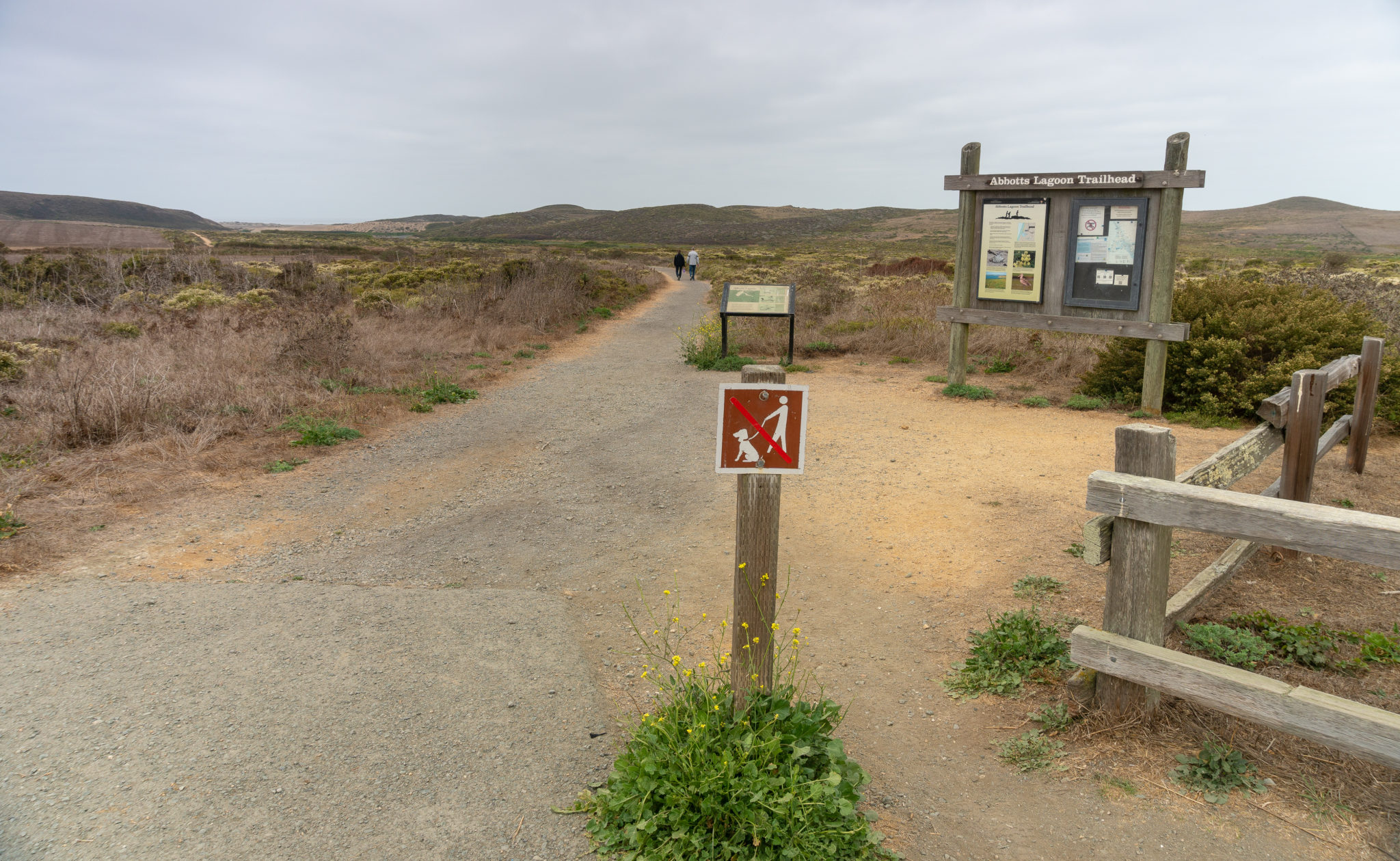
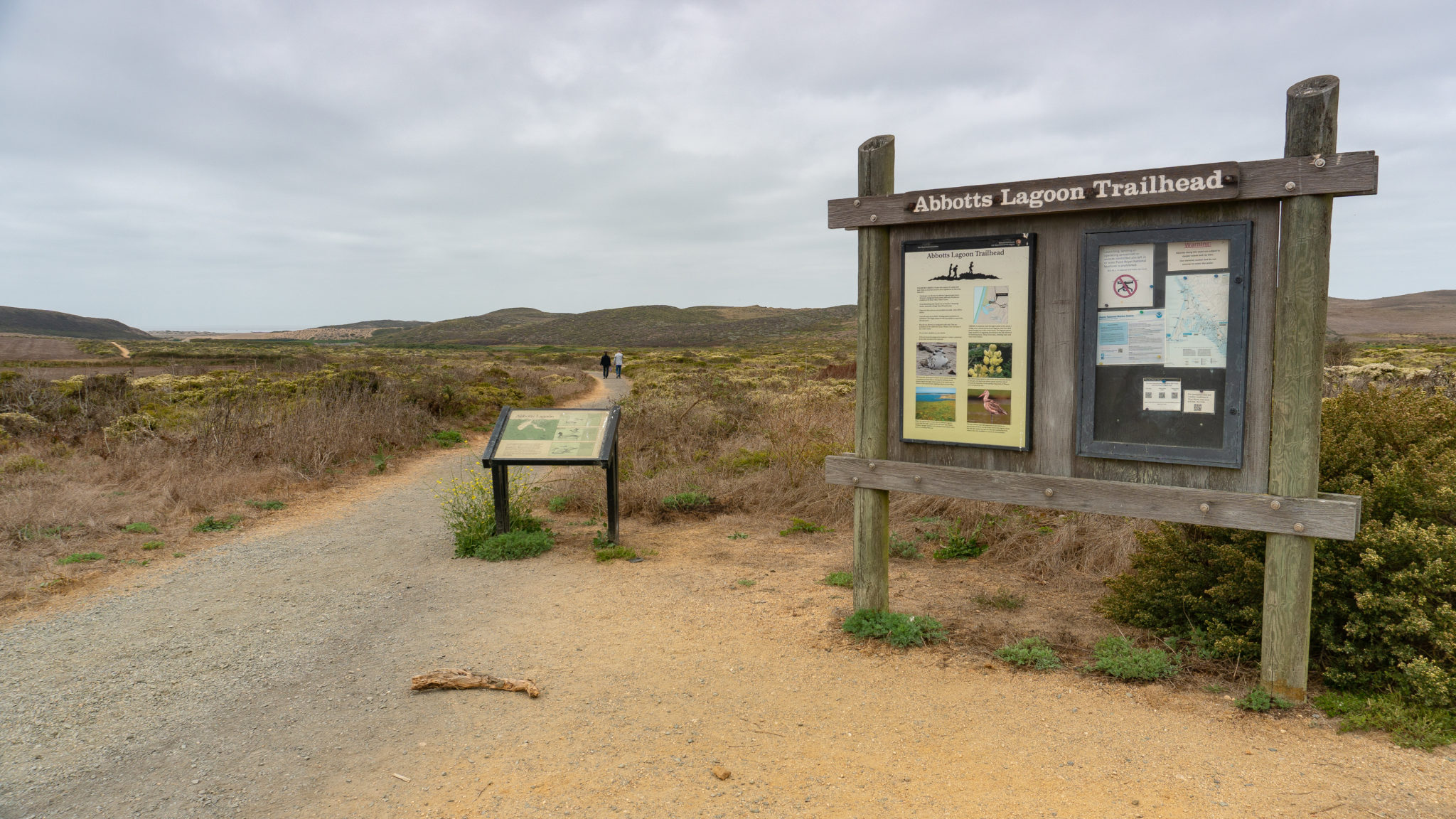
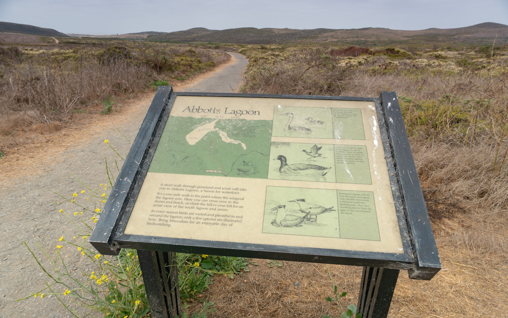
Abbotts Lagoon is a family-friendly and partially ADA-accessible hike past a working dairy ranch to a brackish lagoon teeming with wildlife. A spur trail at the lagoon leads to an overlook of the ocean, while a faint, sandy path leads beyond the lagoon to Point Reyes Beach and the Pacific Ocean. Abbotts Lagoon is located in Point Reyes National Seashore, a U.S. national park 50 miles northwest of San Francisco.

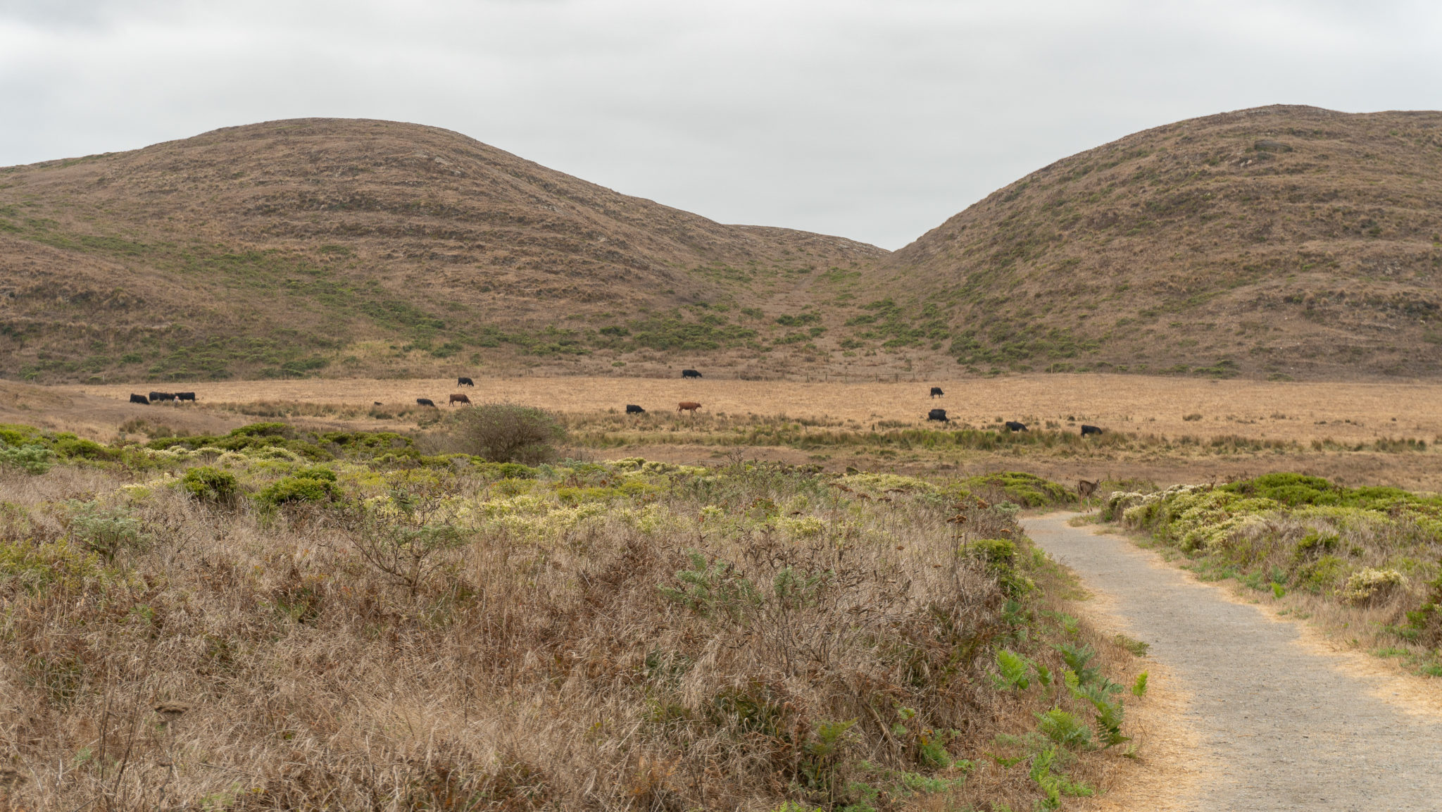
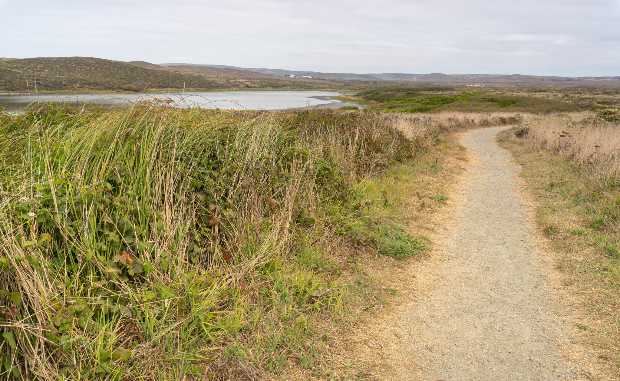
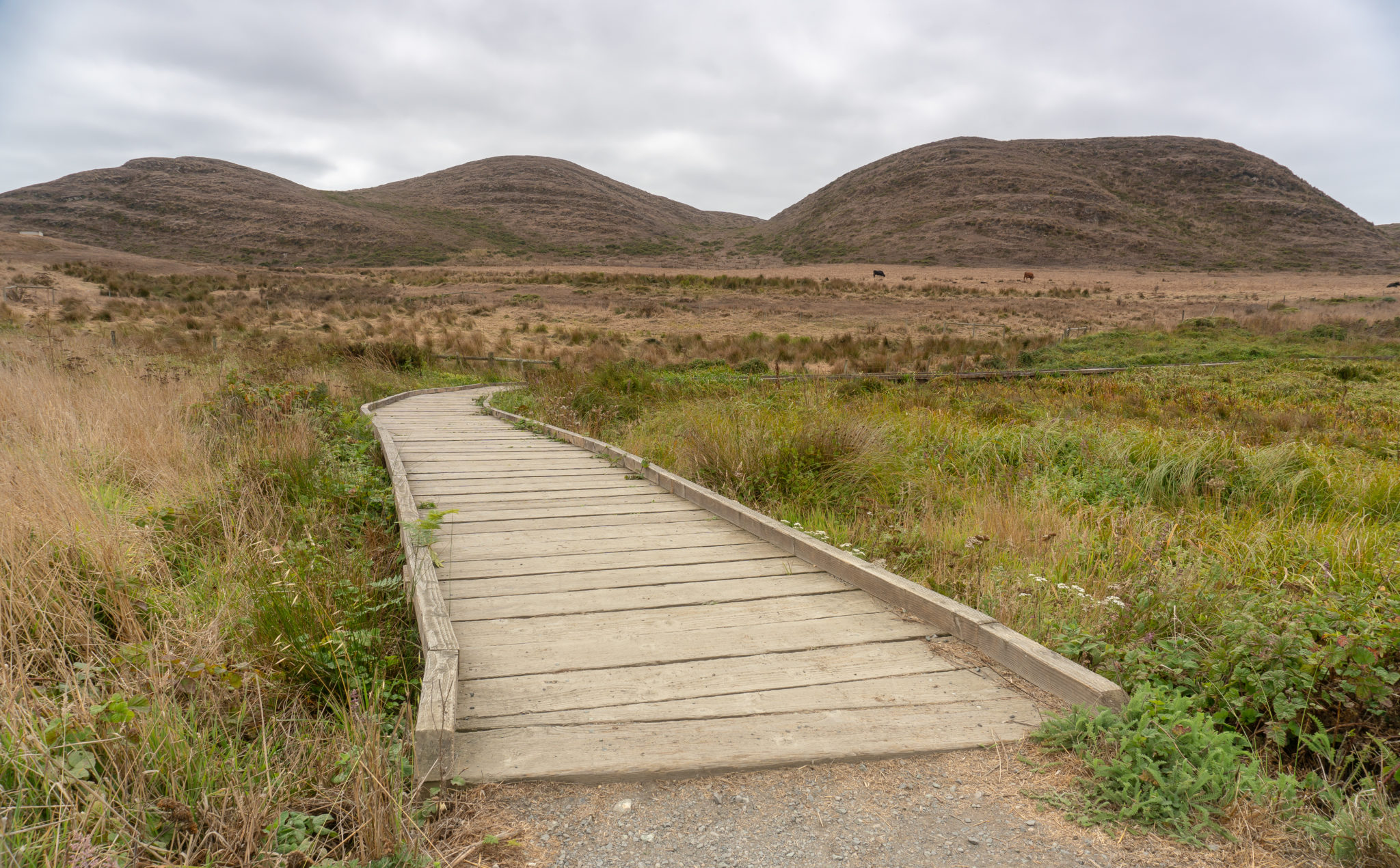
Start your hike from the trailhead, heading west on a flat gravel path that is ADA-accessible for the first 0.25 mile. The rectangular building to the north is a feeding barn and cow shelter at McClure Organic Dairy, also known as I Ranch.

I Ranch—and H Ranch to its south—are part of the alphabet-letter ranches created on Point Reyes Peninsula in the 1860s when a San Francisco law firm scooped up 51,000 acres of land in the wake of California’s statehood in 1850. When the bulk of the peninsula became a national park in 1962, the U.S. government made a deal with local ranchers that they could lease the land from the government and continue beef and dairy ranching. Today, over a dozen ranches operate in Point Reyes National Seashore.
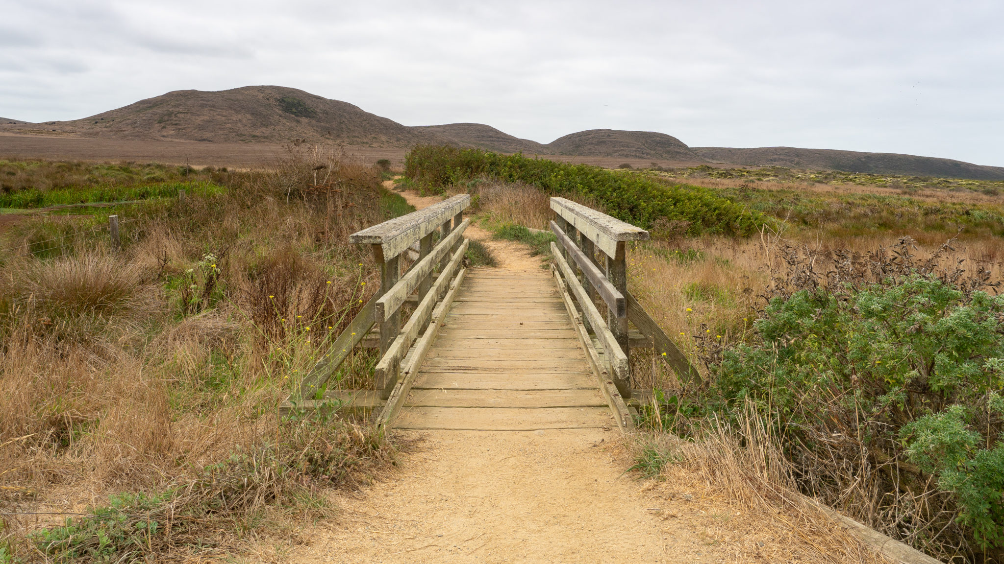
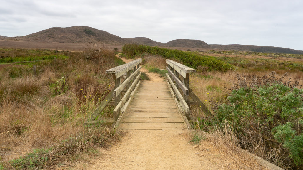
At 0.2 miles, cross a wooden bridge with glimpses of Abbotts Lagoon. Abbotts Lagoon is named after two brothers, John and Carlisle Abbott, who leased I Ranch and H Ranch in the mid-1800s. Carlisle Abbott leased the land you are walking on, the historic boundary of H Ranch, from 1858-1865, and ran a dairy that produced butter until he pulled up his stakes—or in his case, cows—and resettled in Salinas.
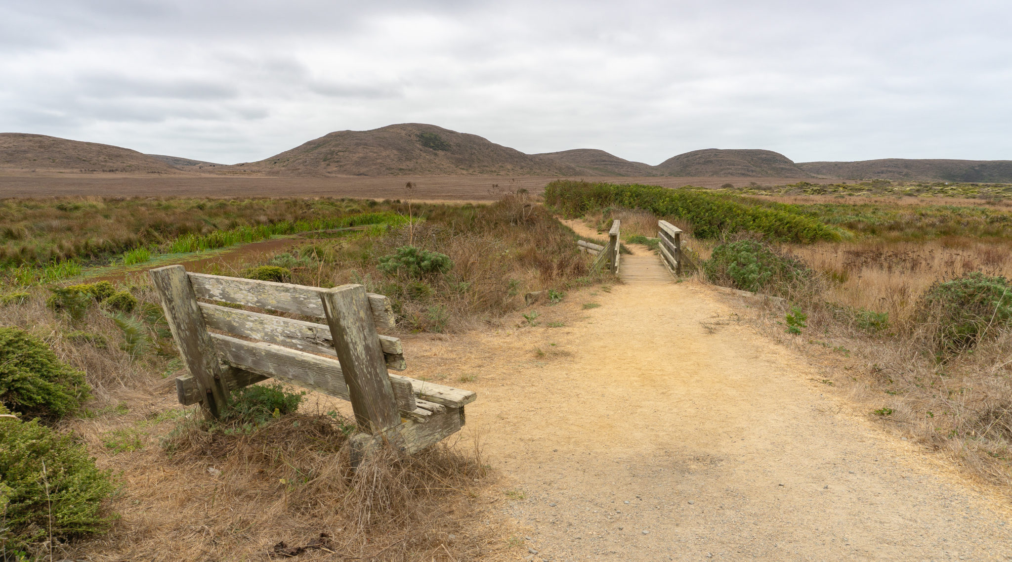
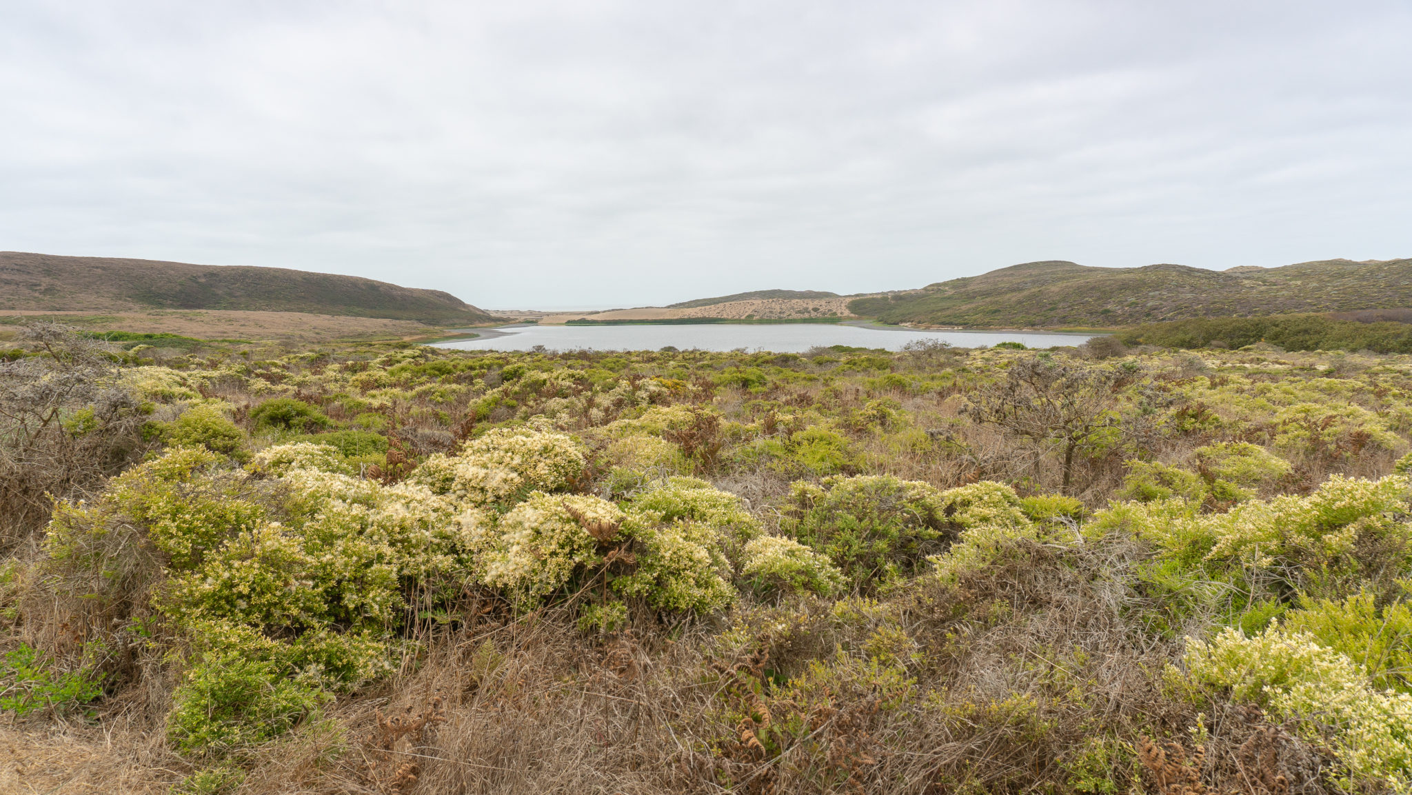
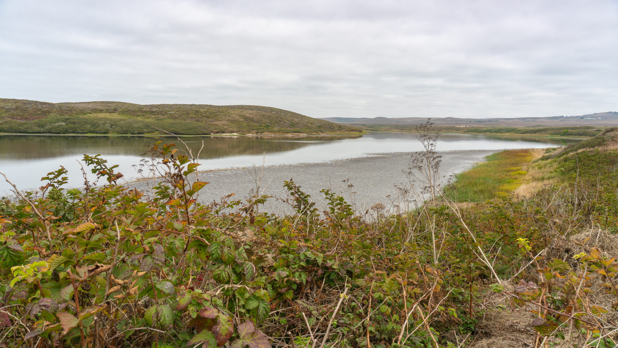
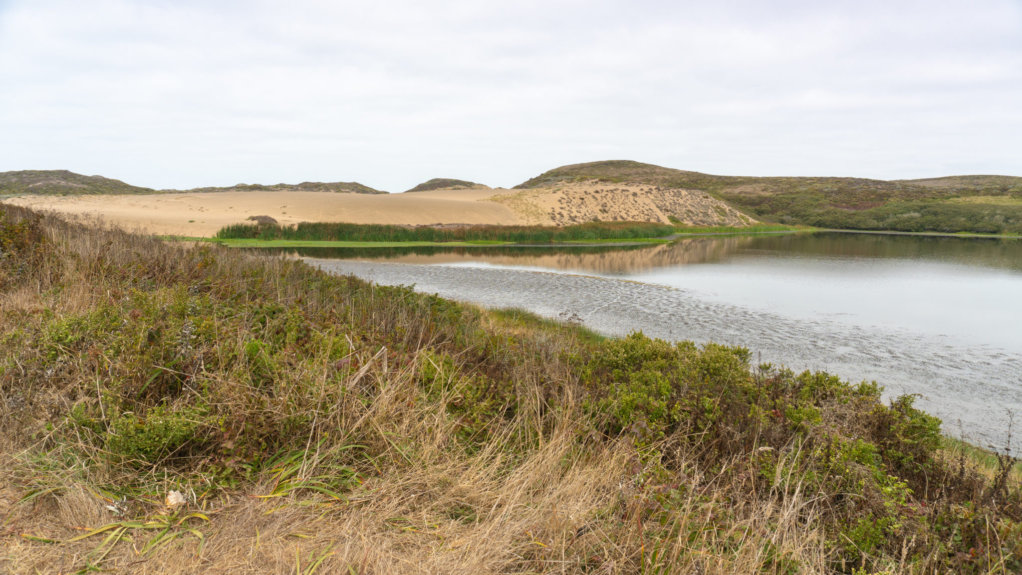
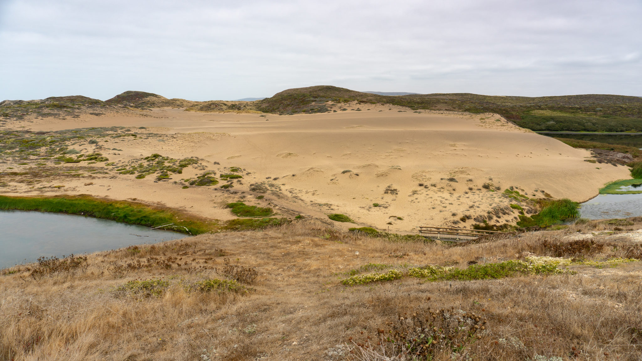
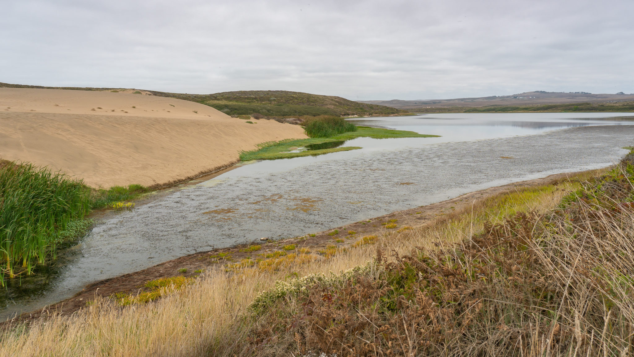
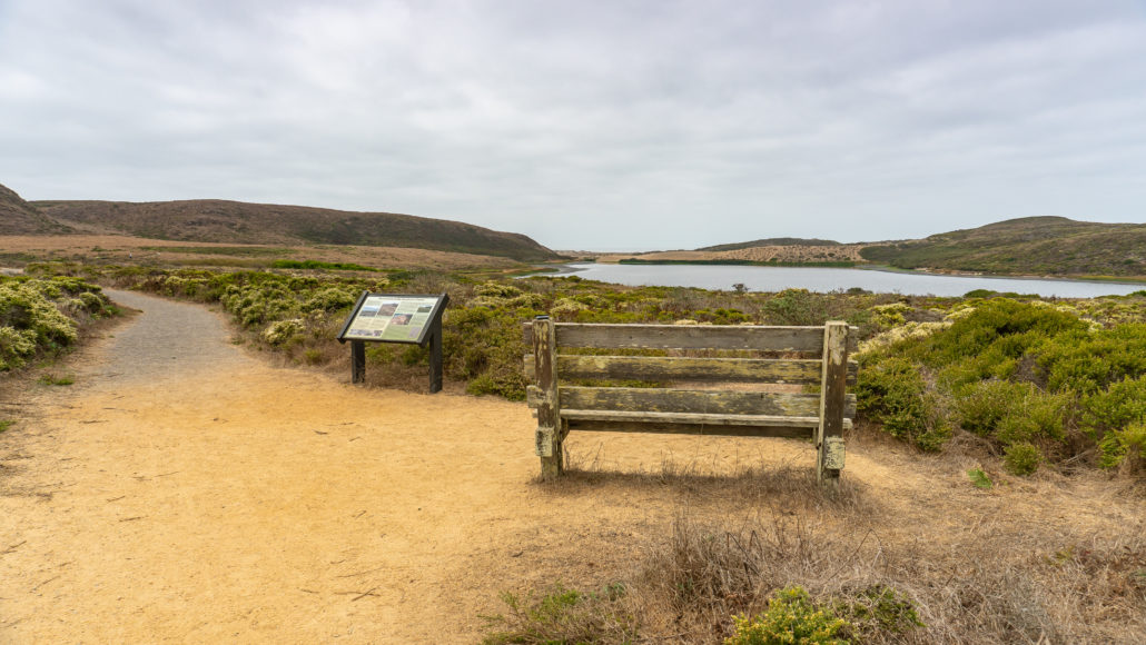
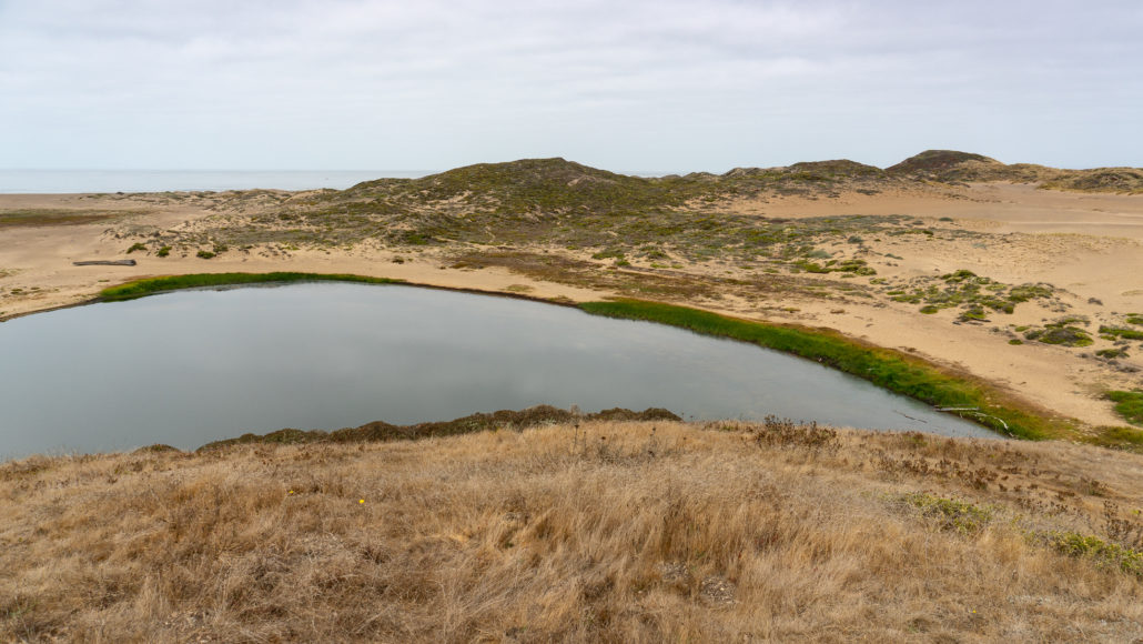
Beyond the first wooden bridge, at 0.5 miles, is a wooden bench and overlook to the north wing of Abbotts Lagoon. There are two Abbott brothers and coincidentally, Abbotts Lagoon has two wings: a large “south wing” by the ocean and the “north wing” that you see on the first part of the hike. The wings are joined in a narrow section at the 1.1-mile mark where a wooden bridge crosses over it. Altogether, the lagoon encompasses 282 acres.
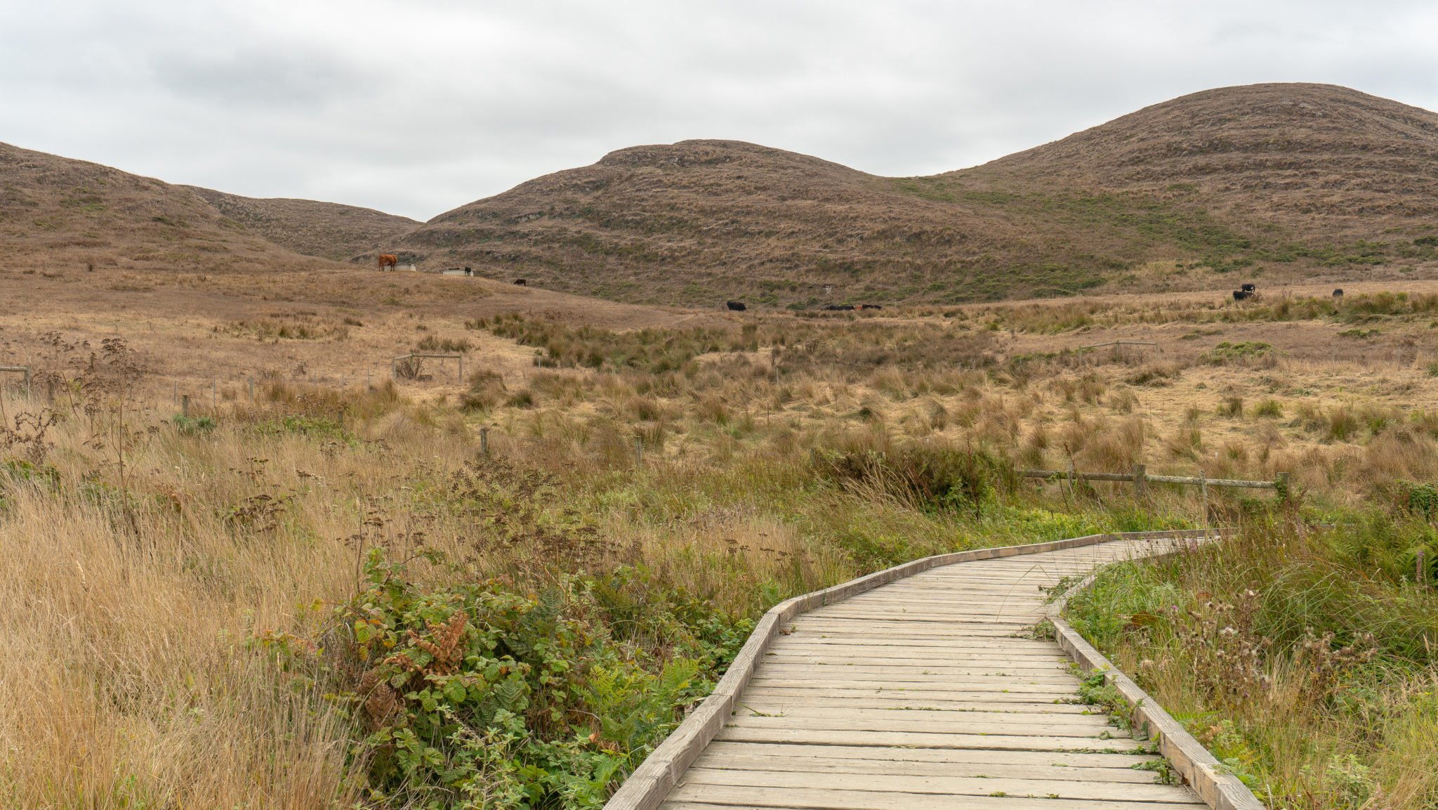
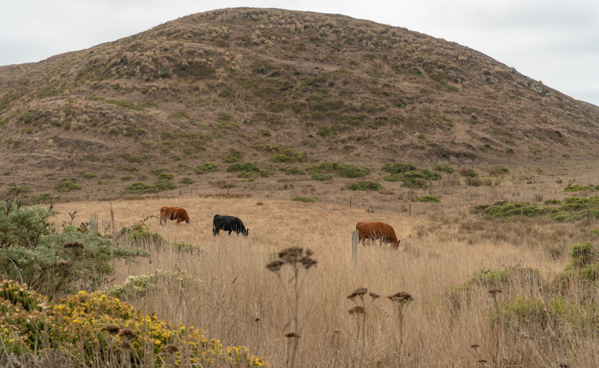
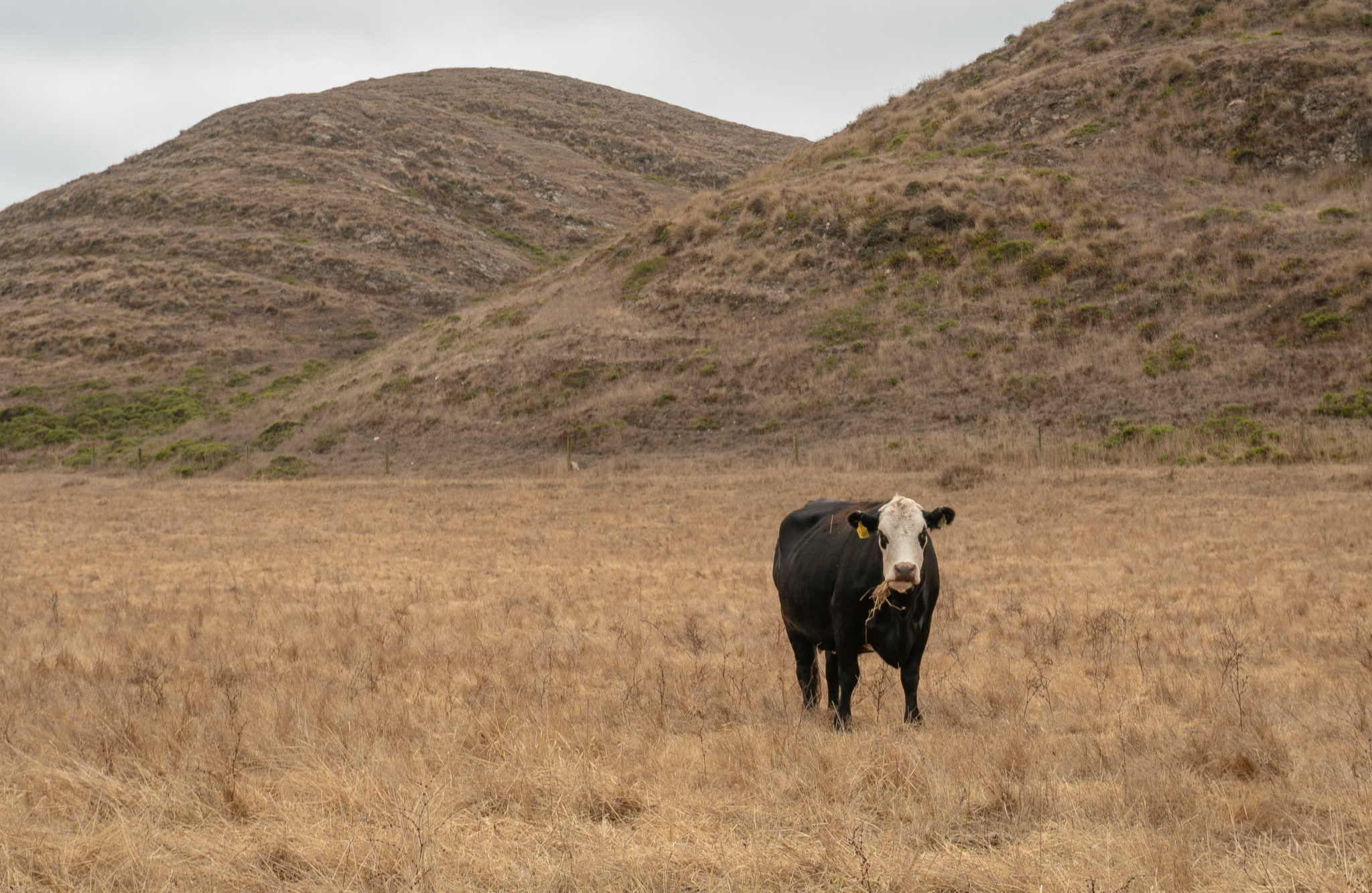
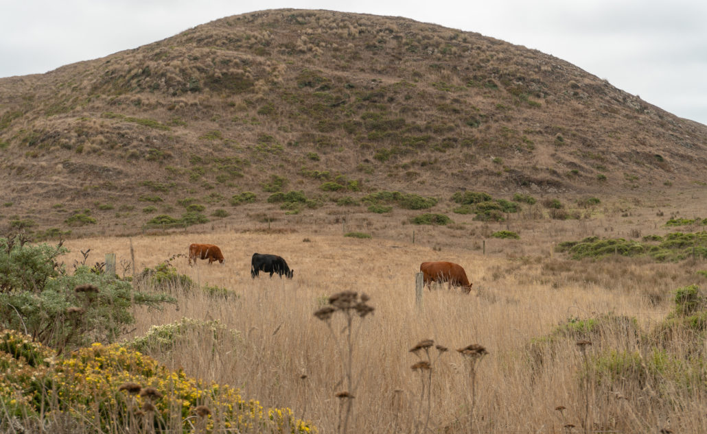
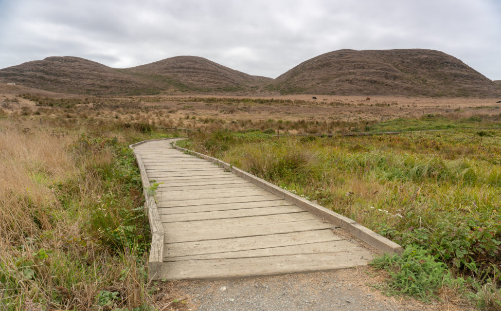
At 0.6 miles, cross a wooden boardwalk over a marsh. Cows loaf to the south, chewing grass and contemplating life. The views of the lagoon continue to open up as you hike westward past coastal scrub, marshes, and grassland.

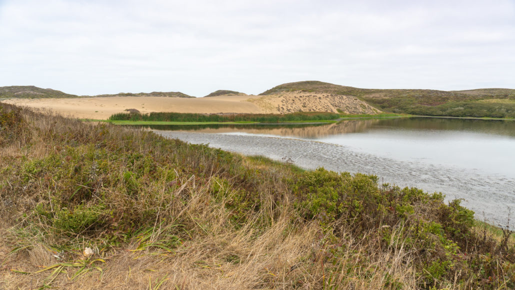
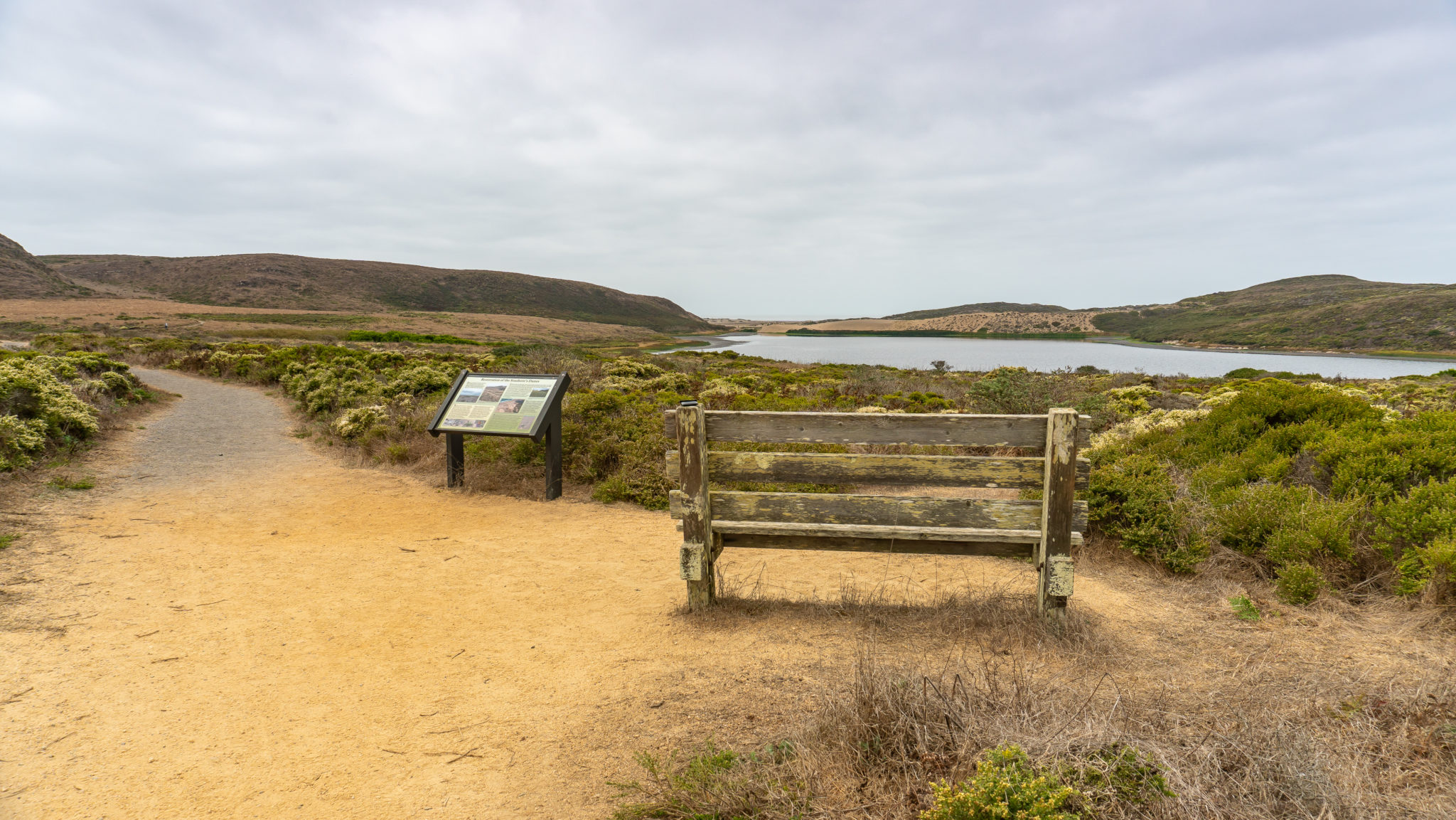
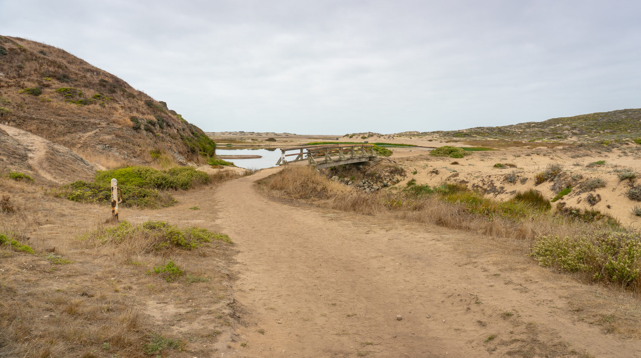
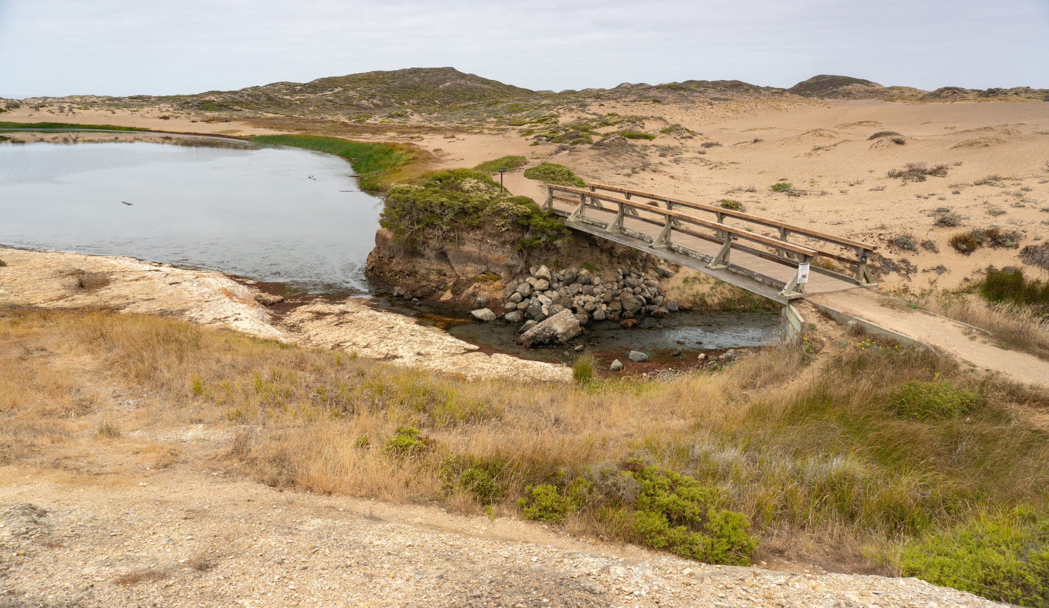
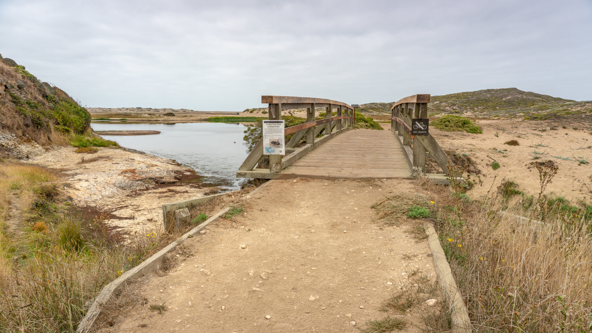
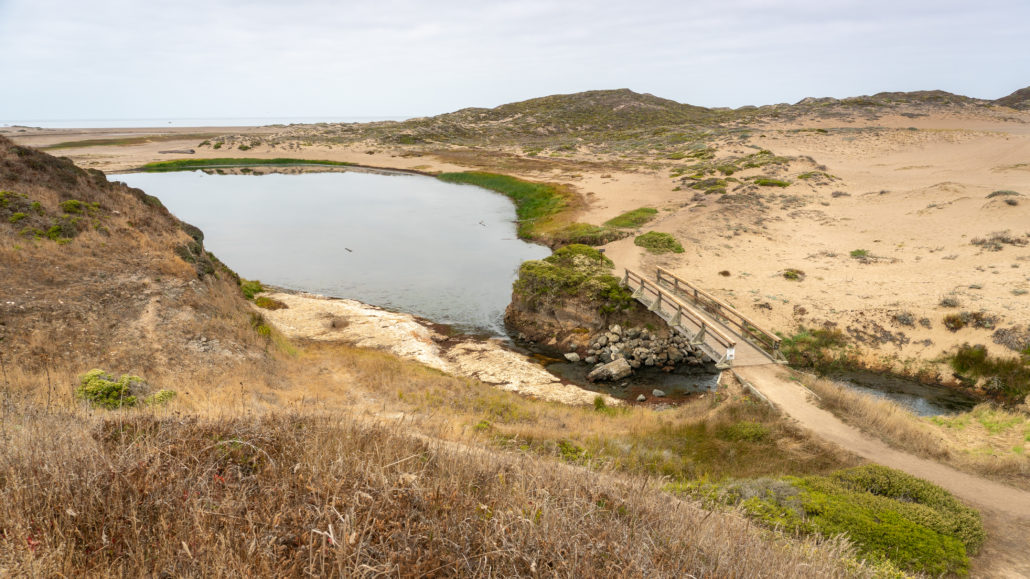
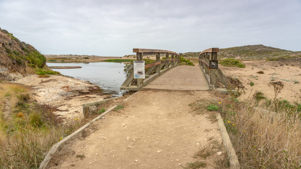
At 1.1 miles, reach a wooden footbridge over the lagoon and your first glimpse of the south wing. Take the spur trail on the left, climbing 50 feet to an overlook of the lagoon and ocean. At the top, you can just barely make out a faint trail leading towards the beach.

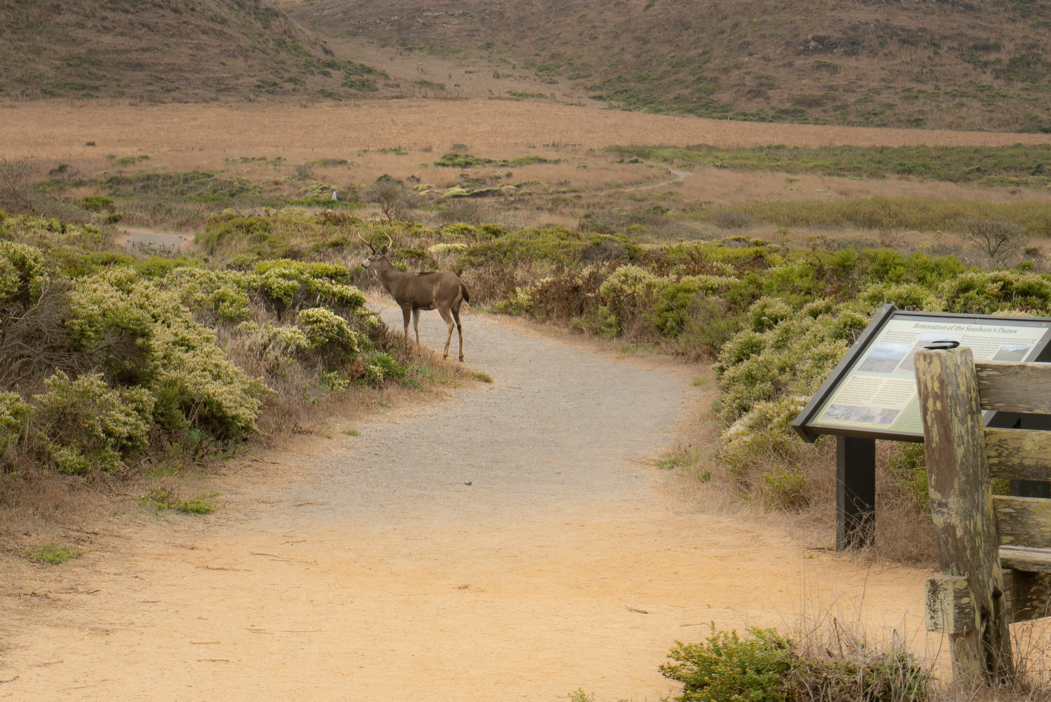
When ready, head back down and cross the footbridge over the lagoon, heading west towards the ocean. Keep an eye out for river otters teaching their young how to hunt, ducks sheltering for the winter, migrating birds chasing after clams, snails, and worms, and western snowy plovers, federally threatened shorebirds, incubating their eggs in the sand.
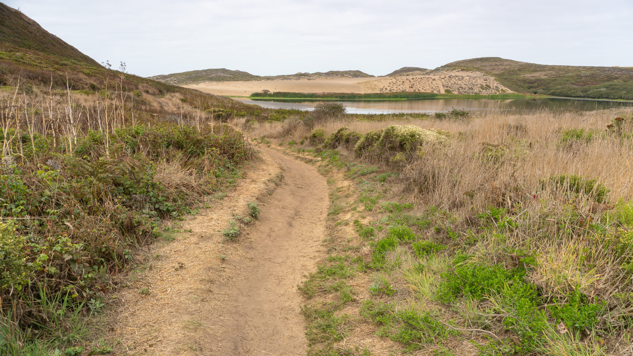
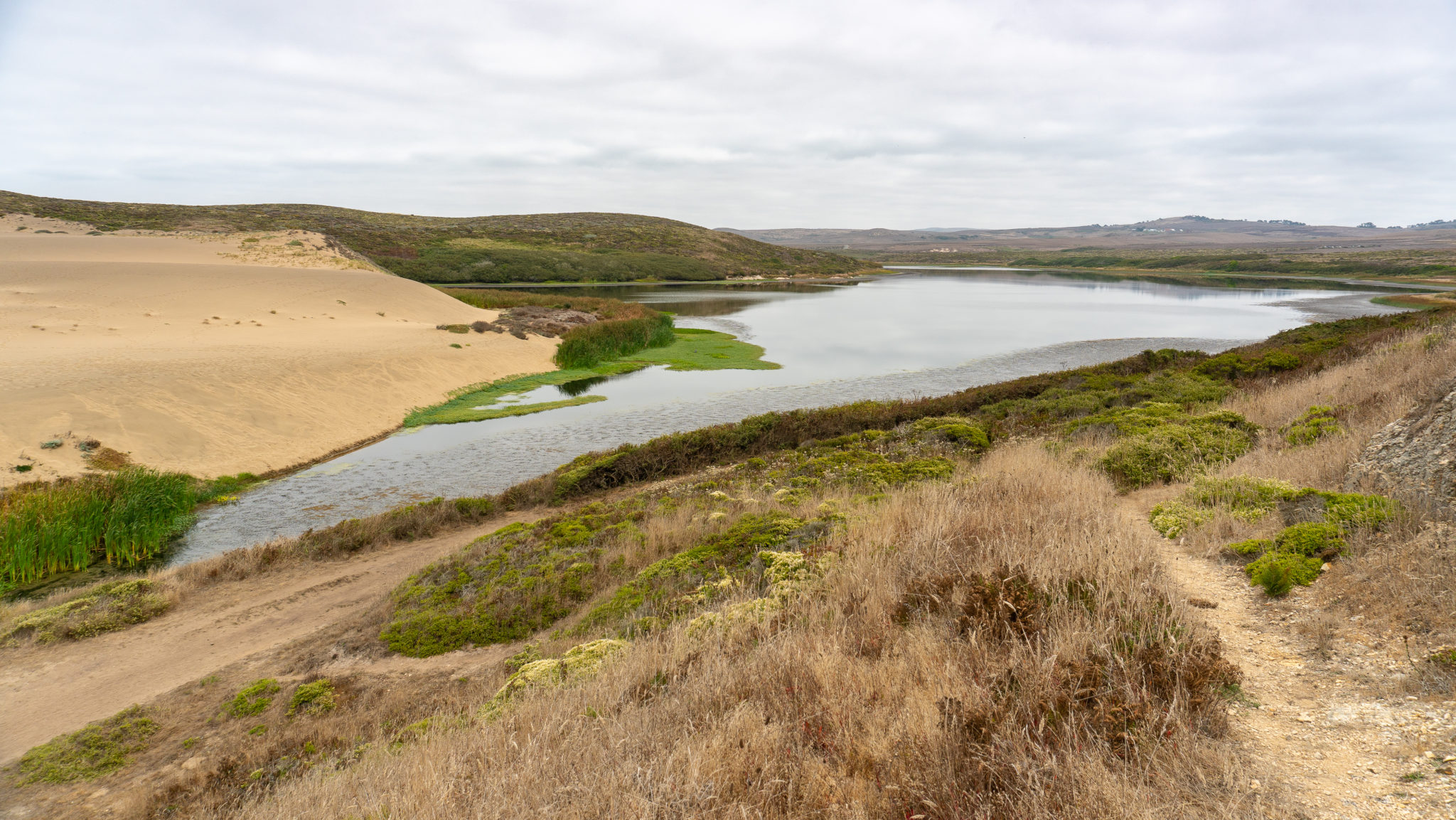
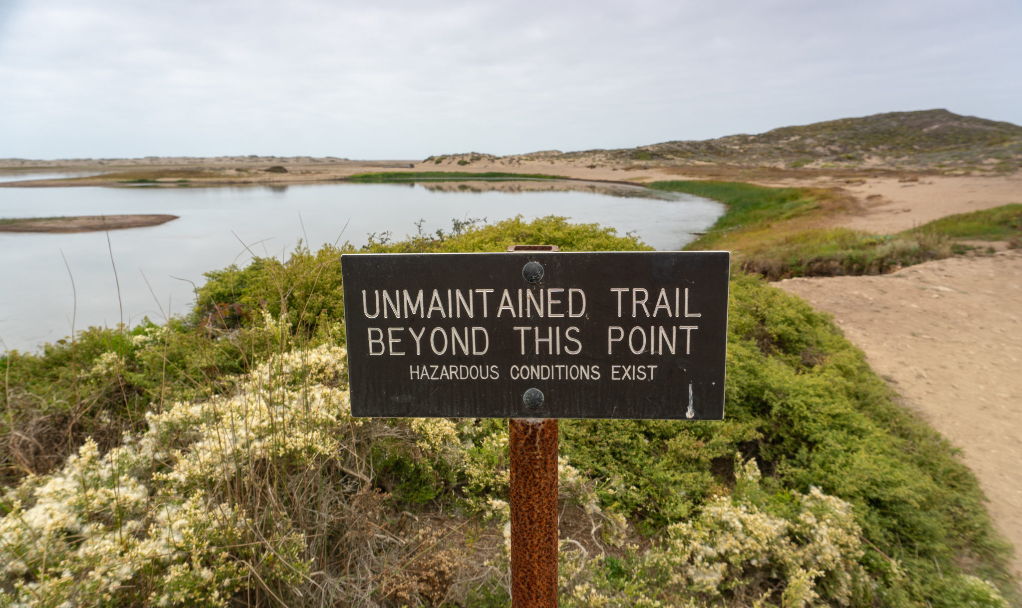
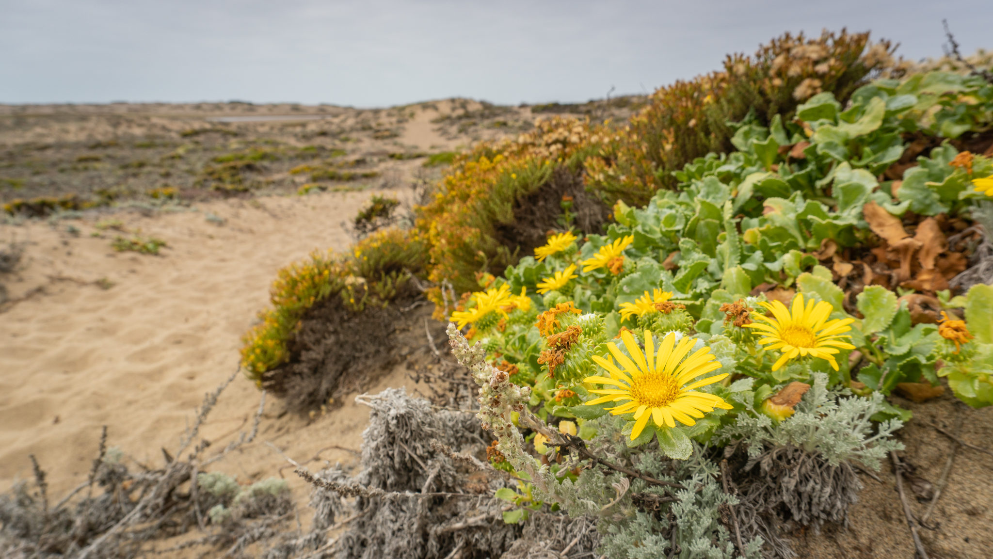
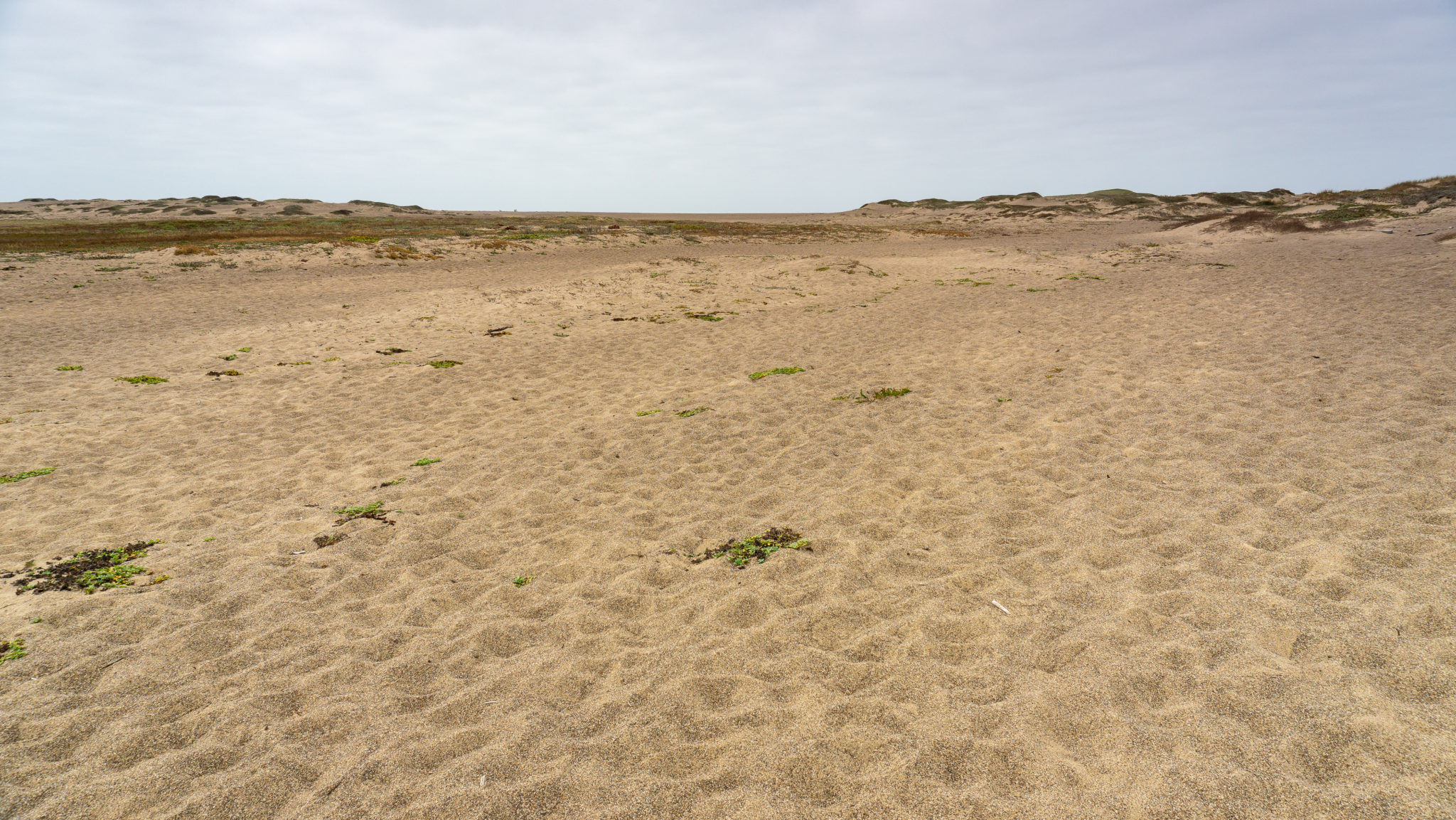
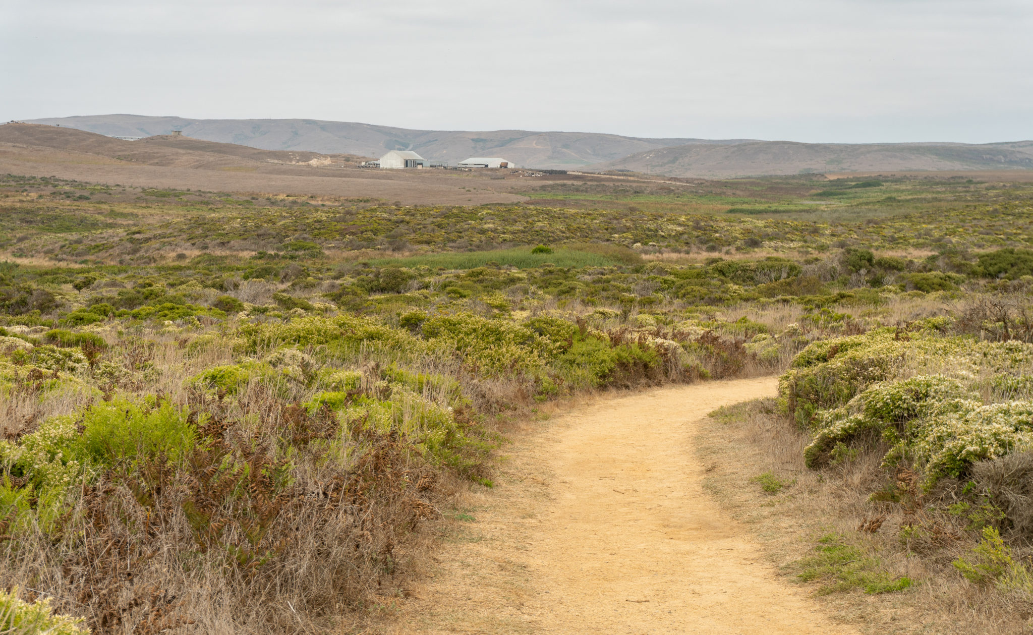
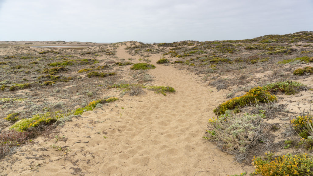
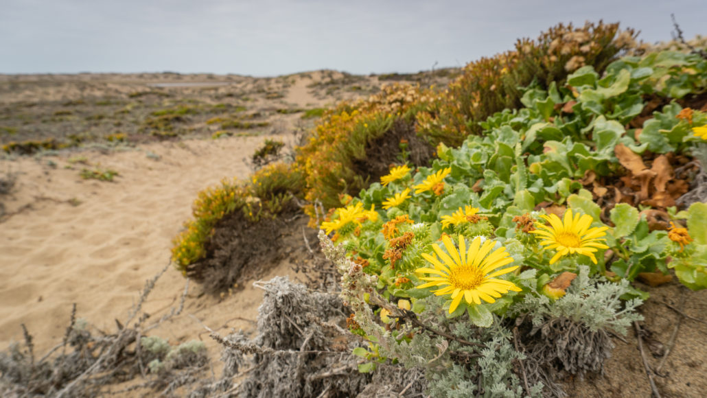
Past the wooden footbridge is a vague outline of a trail to your right. Follow this path west. When it fades out, continue west on beachy sand to the Pacific Ocean, skirting the northern edge of Abbotts Lagoon. At your feet among the sand dunes are yellow gumplant, a member of the sunflower family.
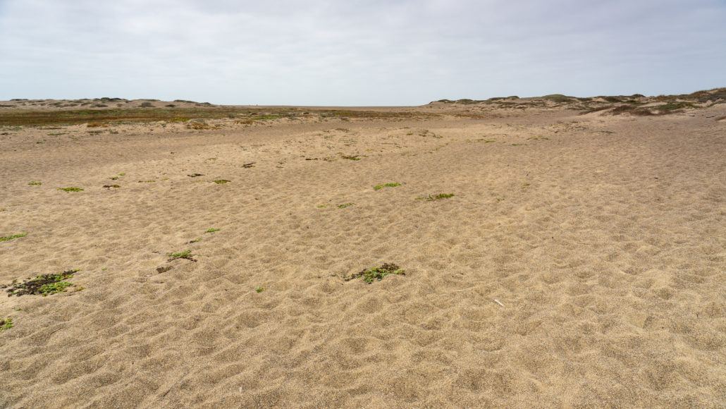
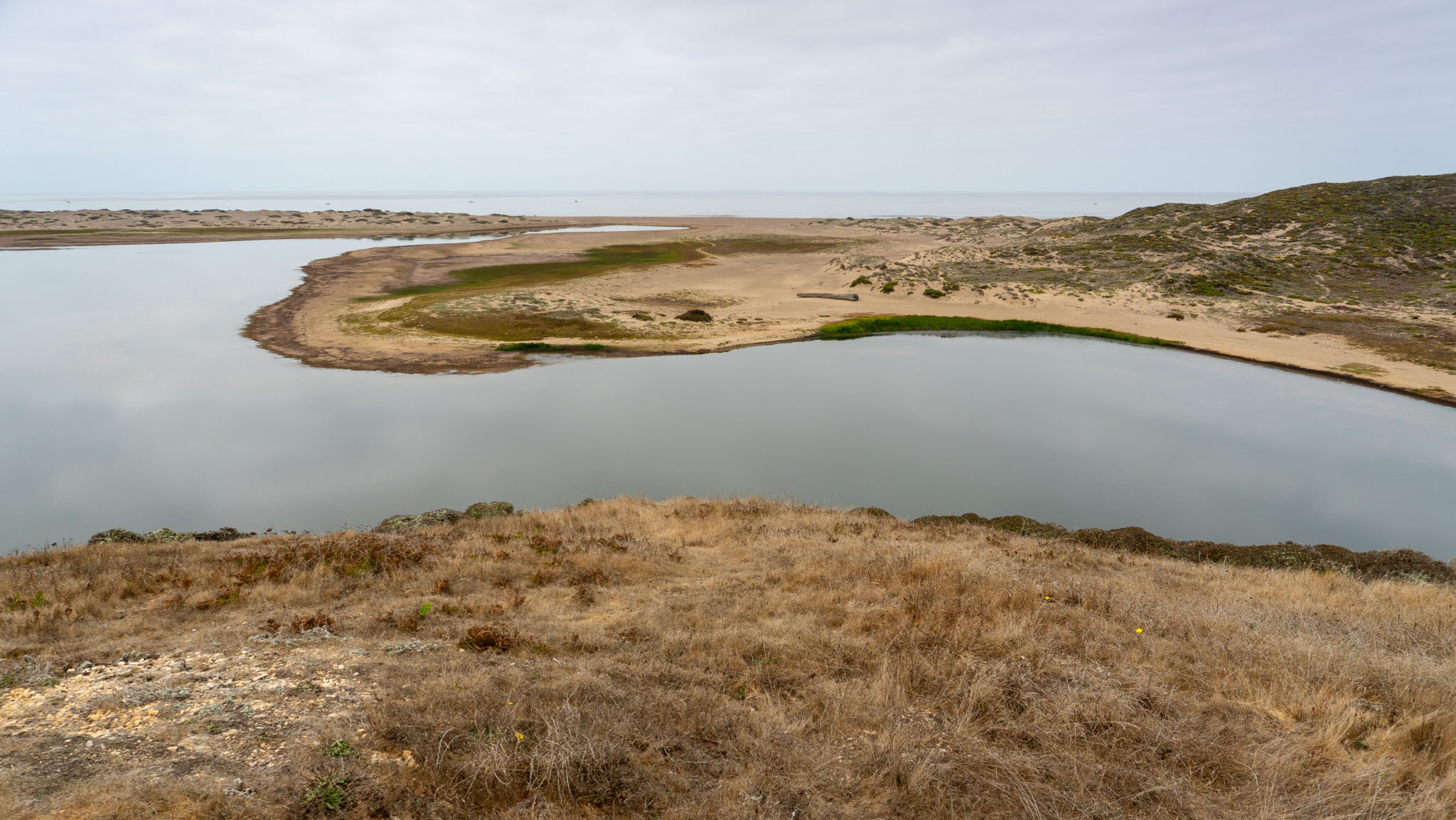
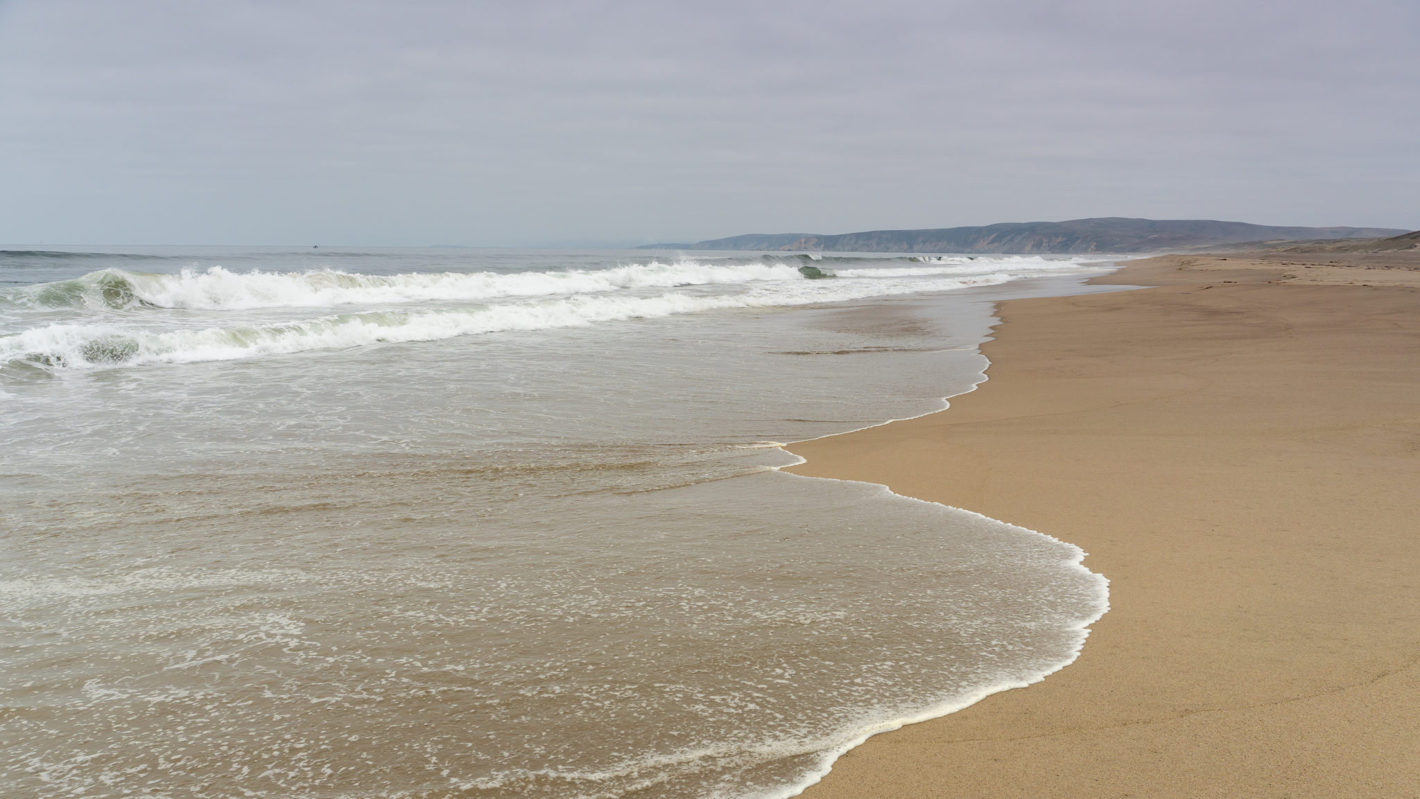
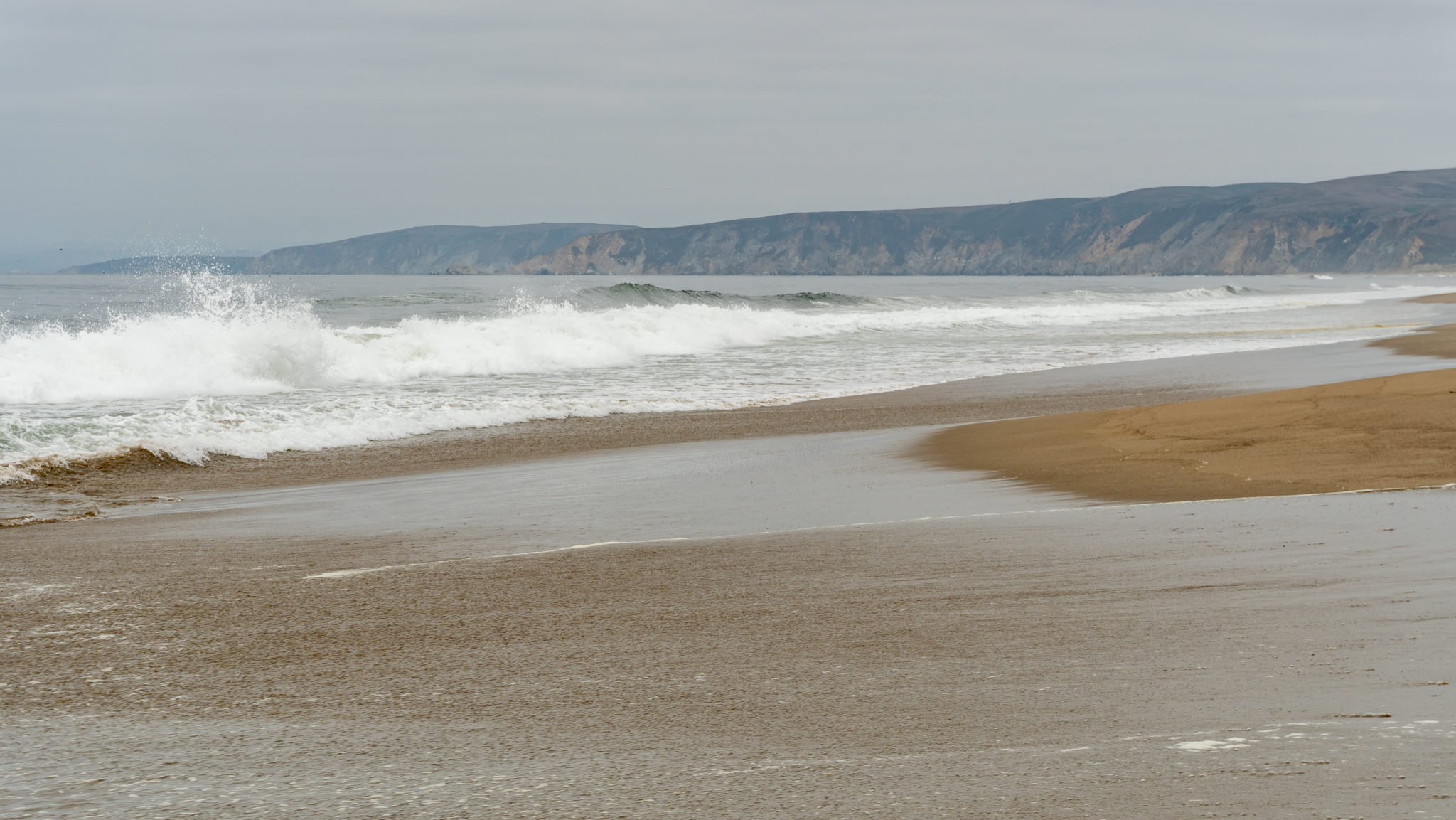
At 1.7 miles, reach the Pacific Ocean and Point Reyes Beach. Crab shells, bullwhip kelp, and the sandy ocean beach merge with the pounding surf. Angular cliffs and rolling dunes extend northward towards Kehoe Beach, with the Point Reyes Headlands curving to the south. Point Reyes Beach is 11 miles long and you can explore for miles in either direction.

Pull up a patch of sand and watch the crashing waves, steep cliffs, and seabirds as you enjoy your snack. The park service does not recommended swimming at Point Reyes Beach because of the strong currents, rip tides, and sneaker waves. Nonetheless, it is a spectacular show, especially if you brought binoculars to spot the variety of birds here. Incredibly, Point Reyes National Seashore counts over 490 species of birds among its visitors, coming in first among U.S. national parks for “greatest avian diversity.”
In winter, Abbotts Lagoon is a gathering site in Point Reyes National Seashore for the National Audubon Society’s Christmas Bird Count. The Count is an annual winter event where birders and conservationists from all over the world gather to take a bird census of sorts. Audubon Society volunteers compile the results and publish them each year to help us understand the health of bird communities and to inform conservation efforts. The tally for the entire bird count among participating countries in the 2017-2018 winter season was a whopping 58,452,497 birds.
When ready, retrace your steps back to the trailhead.

Notes:
- There is no entrance fee for Point Reyes National Seashore.
- Dogs are not allowed on Abbotts Lagoon Trail.
- Bikes are allowed on the first 1.1 miles to the lagoon bridge.
- If you are willing to transport your canoe, kayak, or paddleboard 1.1 miles to the lagoon, you are welcome to paddle there. Before you go, rangers at the Bear Valley Visitor Center recommend giving them a call (415) 464-5100 in case there are temporary closures to protect wildlife.
- Restrooms are located in the parking lot.
- Bring binoculars to spot raptors, waterfowl, and shorebirds.
Tags: Abbotts Lagoon, beach, bird watching, birds, california beach hikes, hiking with kids, Marin, national park, Point Reyes, Point Reyes National Seashore, san francisco, wildlife