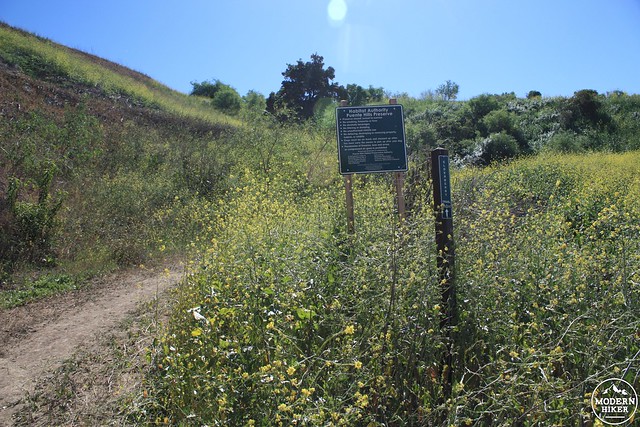
Less than a mile from the trailhead to the very popular (and often overcrowded) Turnbull Canyon lies the inconspicuous trailhead for the Elderberry Trail. It can be very easy to miss – the sign isn’t terribly visible from the road, it’s placed at a sharp hairpin turn, and odds are you won’t find many other cars parked there. But this seemingly passed-over trail will take you into the greater Worsham Canyon loop and provide many of the same views and experiences as Turnbull – but with more rugged trails, steeper inclines, and far fewer people.
Begin at the Elderberry Trailhead – the gate blocking access to the fire road may be locked, but as long as the trails themselves are open you should be good to hike here (all trails in the Puente Hills Preserve are closed for 48 hours following rain – be sure to check their web site for updated trail closure information). A small sign notes the trail name, and a larger sign along the trail itself spells out some of the Preserve’s rules and regulations.
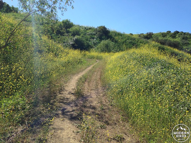
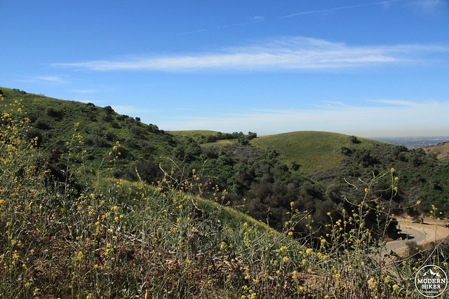
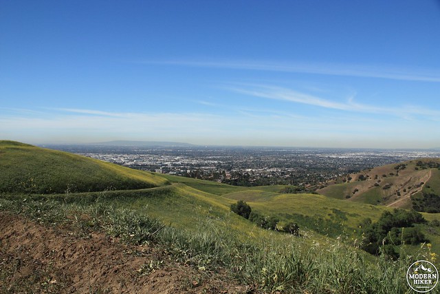
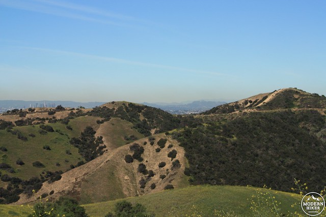
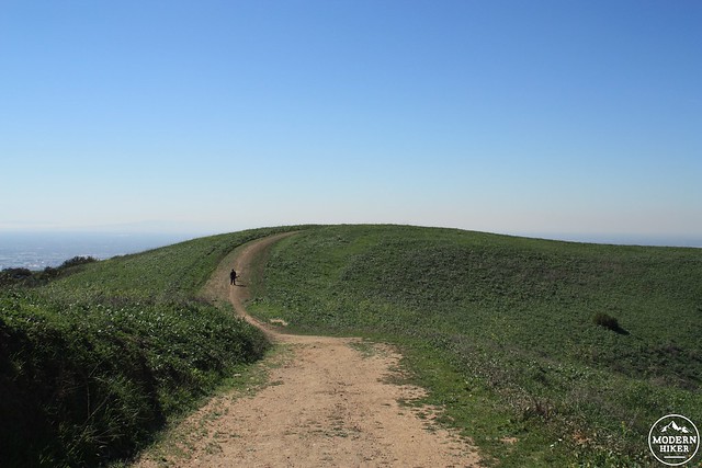
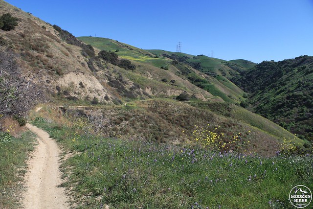
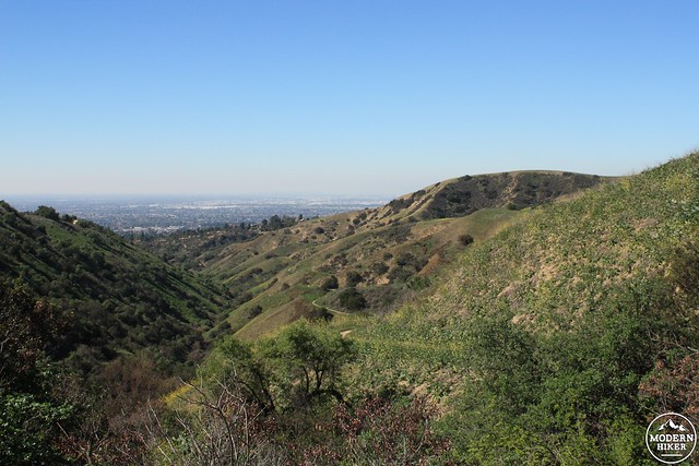
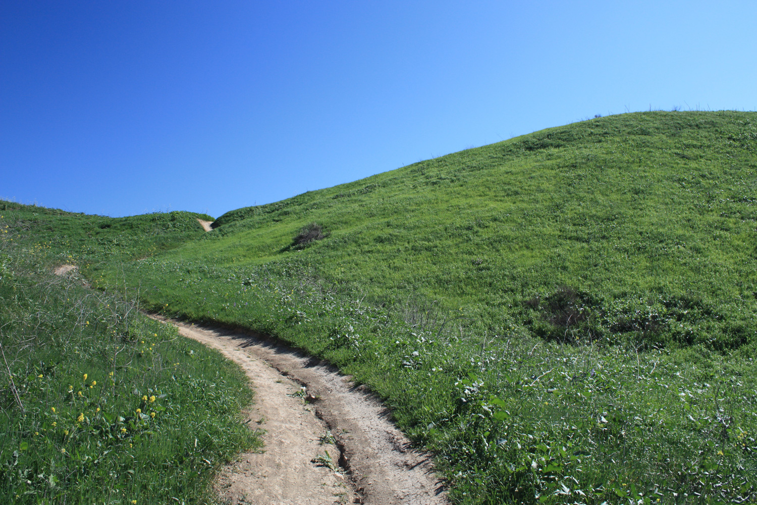
The trail begins on an old dirt road that gradually rises 243 feet over just about a half mile. The road winds its way through some extensive fields of non-native but still-pretty-in-the-spring wild mustard before leveling off a bit before a trail junction. Near the top, you’ll also start to catch some really beautiful views of Turnbull Canyon to your west and (assuming the skies are clear) your first views toward Long Beach, Palos Verdes, and Catalina.
As you’re soaking in the views, though, be sure to remain aware of what’s on or near the trail – because this trail isn’t as heavily used as Turnbull, you may see some rattlesnakes sunning themselves in the clearings on this route. I hiked this trail twice in the spring and saw big rattlers both times. If you do happen to see one, just back off and give it enough space to continue doing whatever snake thing it was doing. Remember, they don’t want to be near you any more than you want to be near them! If you are really concerned, hike with trekking poles. The vibrations on the ground will give the snakes more of a heads up on your approach.
Just before the half-mile mark, the trail reaches a junction with the Workman Ridge Trail. Keep to the right at the junction to start the loop in a counter-clockwise direction.
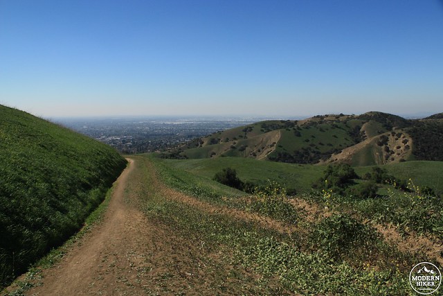
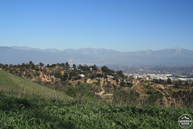
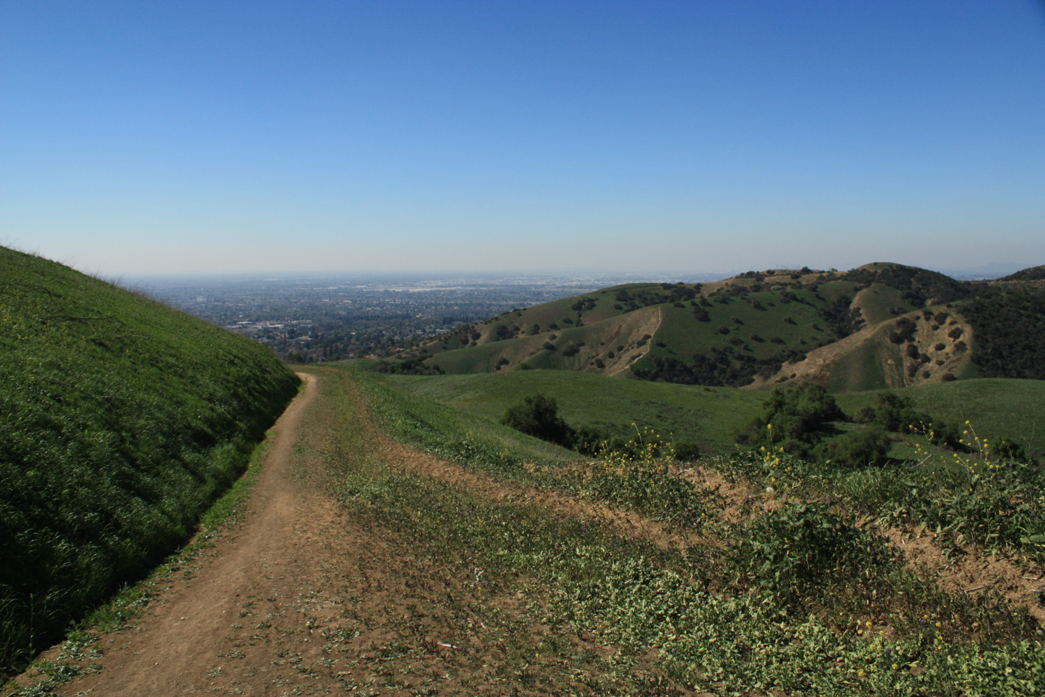
This trail makes a slow descent toward the southwest with expansive views toward Whittier. On a clear day, if you look to the northeast you may see downtown Los Angeles rising up from behind the Puente Hills – and you might also be able to make out the Santa Monica Mountains or even the Hollywood Sign.
As the trail gets closer to the houses of Whittier, ignore the use-trails and spurs that leave the more established route. Several of these trail off into the backyards of private homes and a few head south along Worsham Creek to other access points that are technically illegal (even though you’d never know it until you were already trespassing).
The wider fire road narrows significantly here, and the route becomes more of a single track.
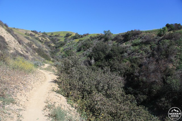
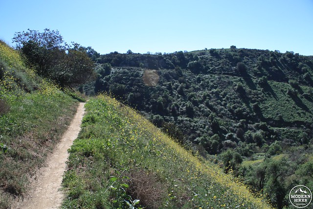
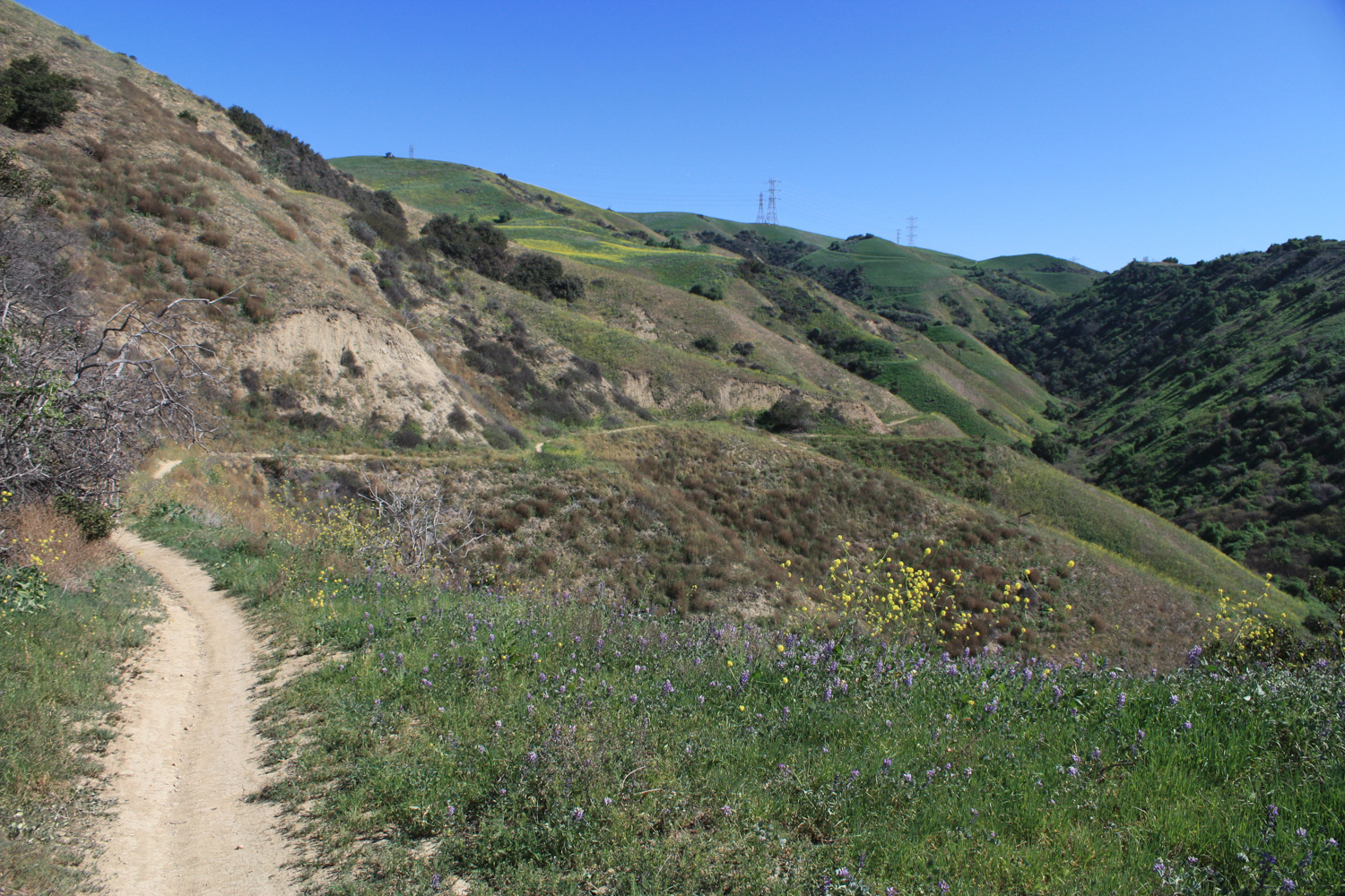
At the 1.35 mile mark, the Workman Ridge Trail becomes the Worsham Canyon Trail. For the next 1.3 miles, you’ll meander along the northern slope of Worsham Canyon, where the northern slopes across the canyon support small shrubs and chaparral, and an intermittent stream may flow at the bottom of the canyon itself. Where you’re hiking on the north side, it will mostly be grassland and sparse chaparral, but keep an eye (and nose) out for beautiful bunches of black and purple sage, as well as lupines, mustard, and other wildflowers in the spring.
As you hike this stretch of trail, you may be struck by just how quiet and secluded it feels – even though you’re within eyesight of Whittier itself. The swarms of hikers on Turnbull Canyon don’t seem to have reached Worsham quite yet – maybe due to the tiny trailhead parking. There are, however, mountain bikers on this trail – so be sure to keep your eyes and ears open. Thankfully, even on this winding section of canyon wall-hugging trail, you’ll be able to see far ahead and should have more than enough time to let cyclists know you’re there or step aside for them on corners. When I hiked this trail, three mountain bikers were the only other people I saw on the entire trail, and all were very considerate on the trail.
At the 2.35 mile mark, the trail crosses the bed of the mostly dry Worsham Creek and begins a noticeable climb – about 480 feet in 0.9 miles. There’s no shade on this or any other part of the trail, so hopefully you’re not doing this in mid-day in the summer or it’s going to be pretty tough.
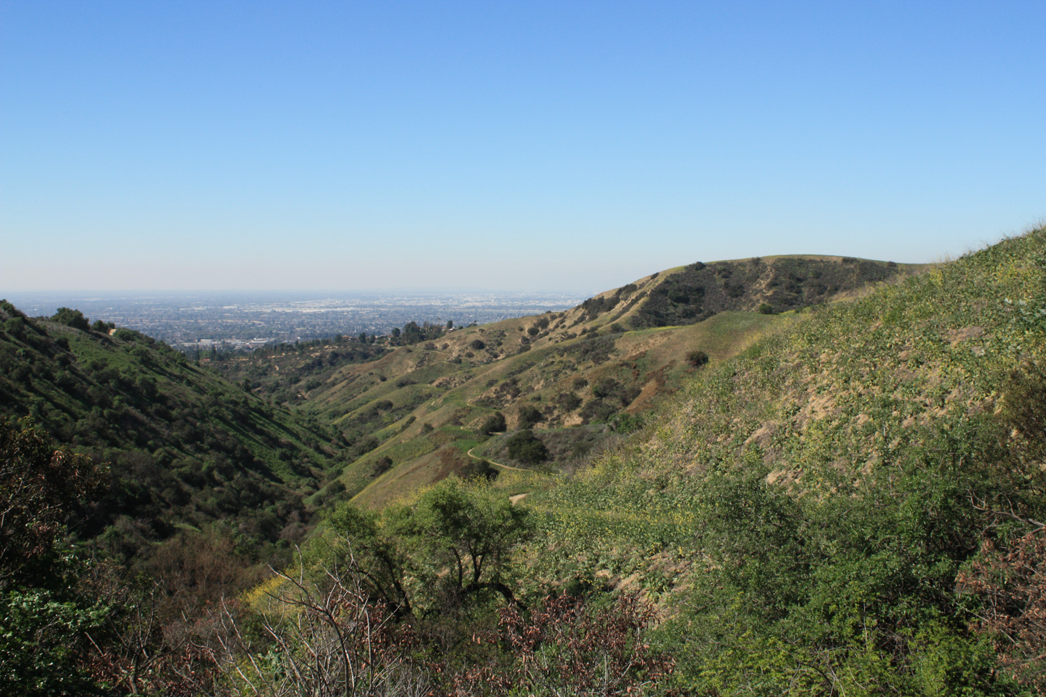
You will, however, have some very nice views down the rest of Worsham Canyon, though.
At the 2.7 mile mark, turn left onto the Skyline Trail (also labeled as the Juan Bautista de Anza National Historic Trail Recreation Route on park maps). The incline continues for another half mile before you reach the Workman Ridge Trail – also the high point of elevation for this route.
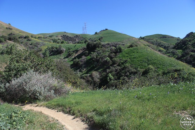
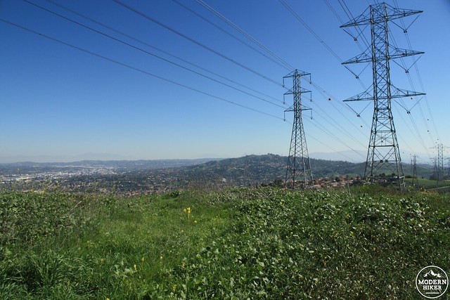
You’ll be hiking under some high tension power lines here, but if you can look past the metal structures you might be treated to some truly beautiful views of the surrounding mountains and cities. Like many trails in the Puente Hills, the views north toward the San Gabriels can be especially inspiring on clear days.
Turn left from here and it’s just under a mile of smooth, downhill hiking – 0.6 miles on the Workman Ridge Trail and another 0.4 back down the Elderberry Trail.
Tags: Elderberry Trail, hacienda heights, Puente Hills Preserve, Skyline Trail, whittier, Workman Ridge Trail, Worsham Canyon, Worsham Canyon Trail


