East of the semi-rural community of Ramona, a spacious patchwork of ranches unfurls across a landscape of rolling hills dotted with live oaks and Engelmann oaks. The trickling ribbon of Santa Ysabel Creek tumbles down from the Volcan Mountains before threading its way through this landscape to spill its contents into Lake Sutherland. Bovines wander contentedly through the pastoral landscape.

For years, outdoor-inclined motorists on Highway 78 heading toward Julian could only salivate at the prospect of wandering through these landscapes. Over the past few decades, San Diego County’s Parks and Recreation department has purchased two significant parcels of former ranchland in the Santa Ysabel watershed west and north of the town of Santa Ysabel. Both of these parcels will one day contain one of the most scenic segments of the to-be completed Coast-to-Crest Trail, which spans the landscape between Del Mar and Volcan Mountain by way of the San Dieguito River watershed.

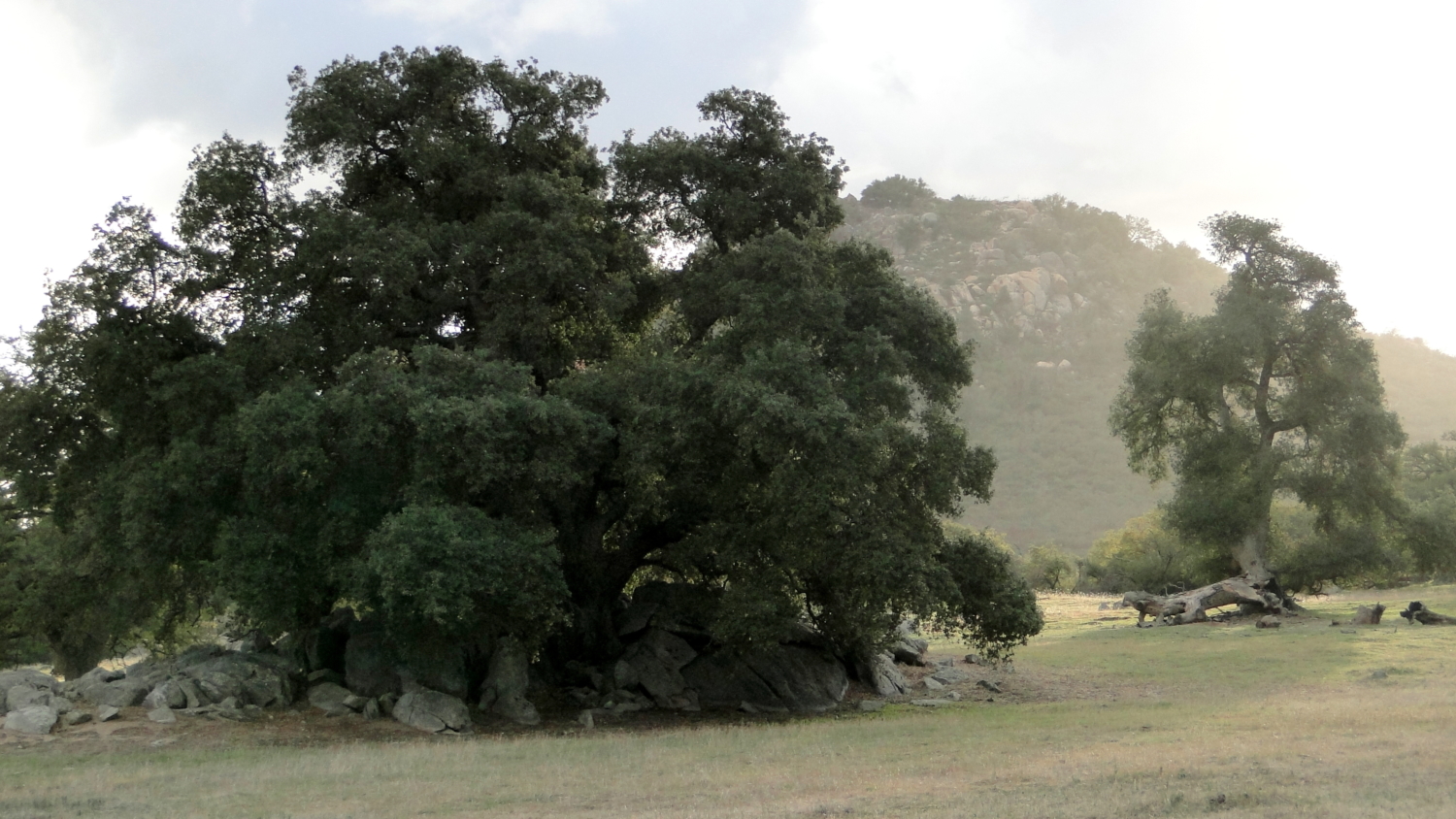
Despite the seemingly gentle nature of the landscape, hikers visiting the western preserve should be prepared for a roller coaster of a hike. At four separate points on the route, the trail drops and promptly re-gains a significant amount of elevation, which some hikers may find dispiriting. Despite this potentially onerous topographic quirk, fans of classic Southern California woodlands will find much to love.

The wide, former ranch road departs the staging area heading west for a gentle descent through spacious oak woodlands. Grasses carpet the areas not shaded by oaks, although resident cattle keep the grass from growing too high. Generally docile and dully curious, cows will leave you alone unless they’re feeling protective about their young. To stay on the safe side, keep a wide berth from any cows you might encounter.

After passing through a shallow ravine, the trail climbs up to its highest point on the edge of a wooded knoll. A picnic bench provides a welcome opportunity for resting. Folks simply looking for a gentle stroll or hikers with kids may wish to end the hike here as the terrain grows progressively steeper from this point. Good views south bound by several high points east and west provide a vista overlooking oak-studded hillsides.

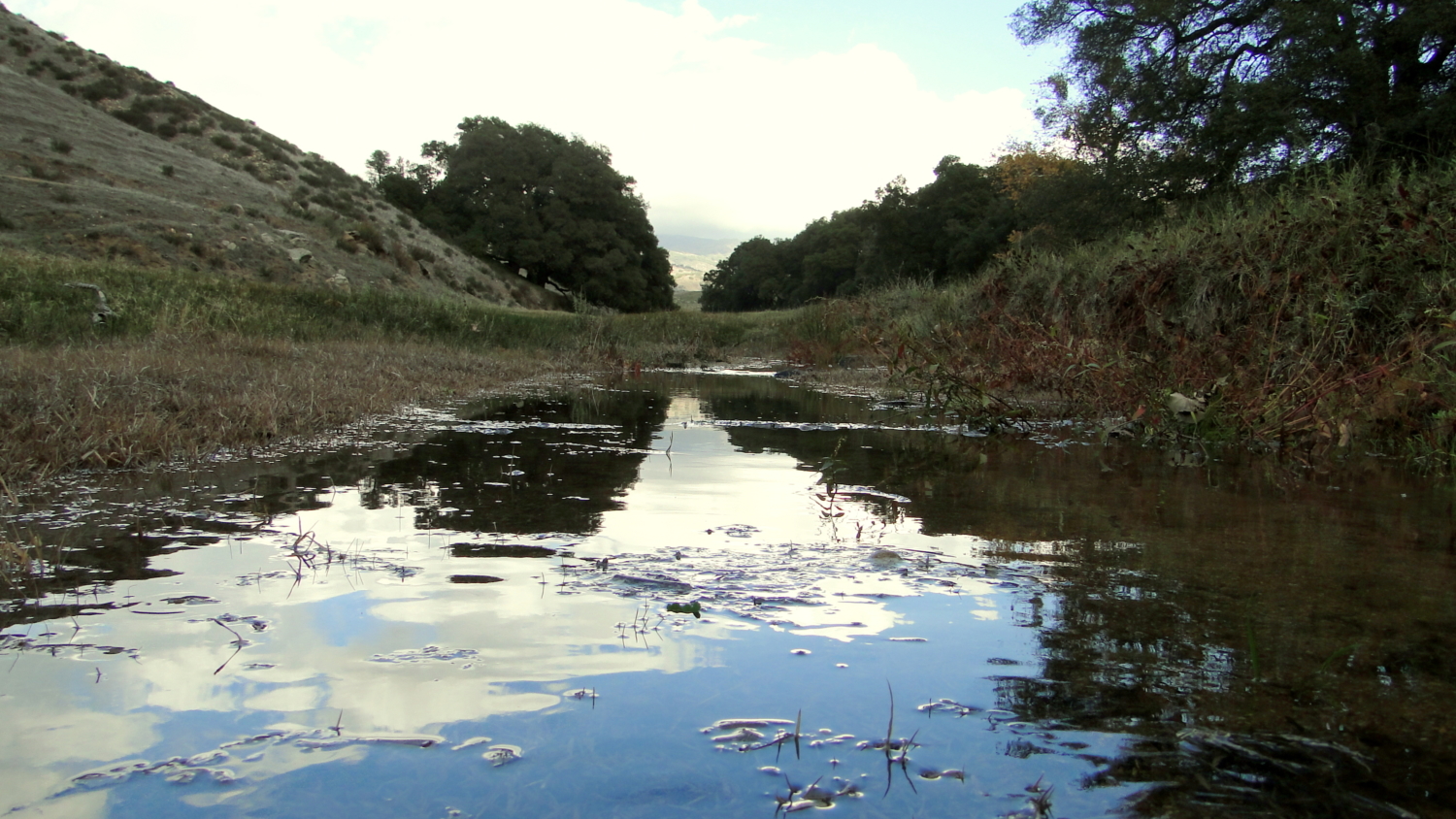
If you opt to continue for the full lollipop loop, the trail makes a sudden and surprisingly steep 400’ descent toward Santa Ysabel Creek. You will be correct in assuming that the knee-rattling drop will become a lung-searing climb on the way back. However, the gentle rustling of leaves as the cool breath of a west wind blowing through towering old growth sycamores will compensate for your effort.The creek itself is a fine place to rest, whether on the approach or return to the Coast-to-Crest Trail on the northern edge of the preserve. The aforementioned sycamores tower over the gurgling watercourse, and several grassy areas serve well as picnic spots.

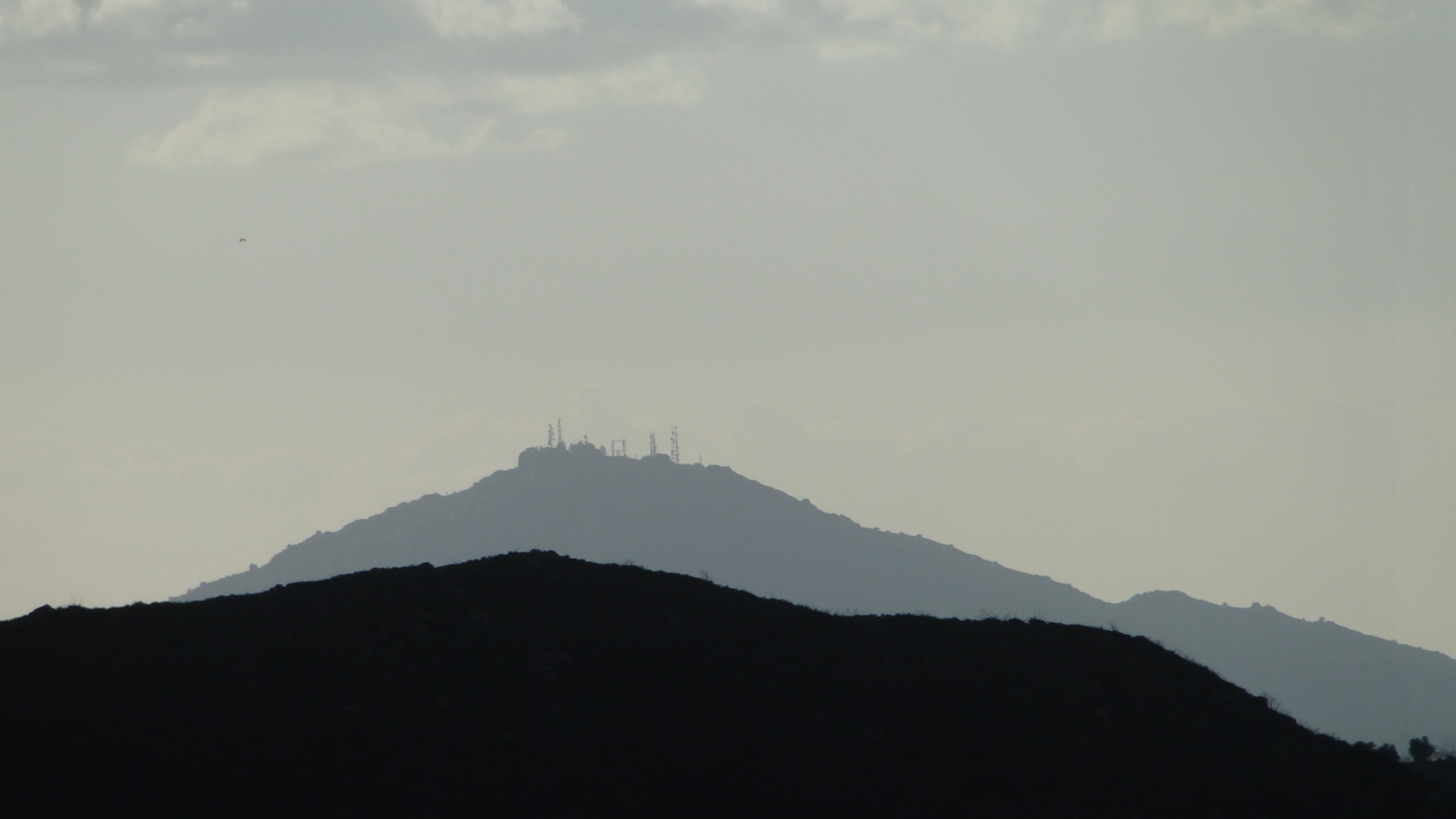
At 2 miles, you will reach a Y-junction to a short loop that connect with the Coast-to-Crest Trail. Since you will already be in uphill mode, keep to the right to climb along a sunny, oak-studded ridge offering views east and west. The brooding form of Volcan Mountain looms in the east with the rolling expanse of Santa Ysabel Valley in the foreground. The rugged, chaparral-clothed slopes of the Santa Ysabel Indian Reservation to the west and the rolling hillsides above Lake Sutherland loom in the west.

At 2.6 miles, the trail begins to descend before reaching a junction with the Coast-to-Crest Trail. This brief segment does not yet connect to the larger stretch of the trail east of Highway 79 climbing to Kanaka Flat and beyond to Volcan Mountain. The piece of land between the west preserve and the eastern branch of the preserve remains in private hands, although the County continues its efforts to secure rights to connect the two preserves.

Your only option therefore is to turn left and follow the brief segment to another junction at 3 miles. Turn right here to follow the Upper Creek Trail back downhill to Santa Ysabel Creek. Once back to the water, you are faced with the steep uphill climb out of Santa Ysabel Creek before topping out at the route’s high point once again. Continue along the path until you return to the staging area.

Tags: Coast-to-Crest Trail, Engelmann Oak, Julian, Oak Woodland, Ramona, San Dieguito River Park, Santa Ysabel, Santa Ysabel Creek