NOTE: This area was badly burned by the 2009 Station Fire. The historic Vetter Mountain Fire Lookout was destroyed and the landscape will likely differ from this description, although plans are in effect to reconstruct the fire lookout to its historic specifications. For now, the region is open to hikers although all the trails themselves may not be open. To read about a dependable fire road hike to the Vetter Mountain Lookout Site, head here.
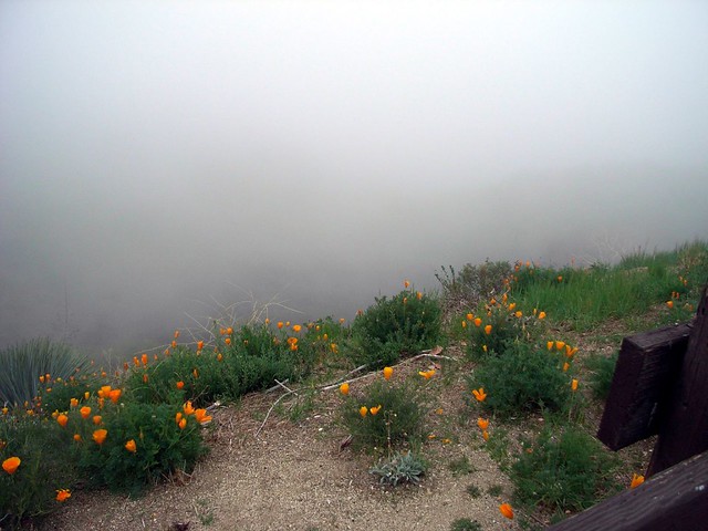
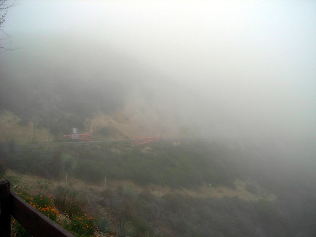
The marine layer was heavy and it was gray the entire drive up to La Canada Flintridge, where I actually started driving through the clouds. It started raining, and visibility dropped to nearly nothing – so the trip to the trailhead took a bit longer than usual. I pulled over at one of the ranger stations to snap a few pictures … and to give my knuckles a rest from gripping the steering wheel so tightly.
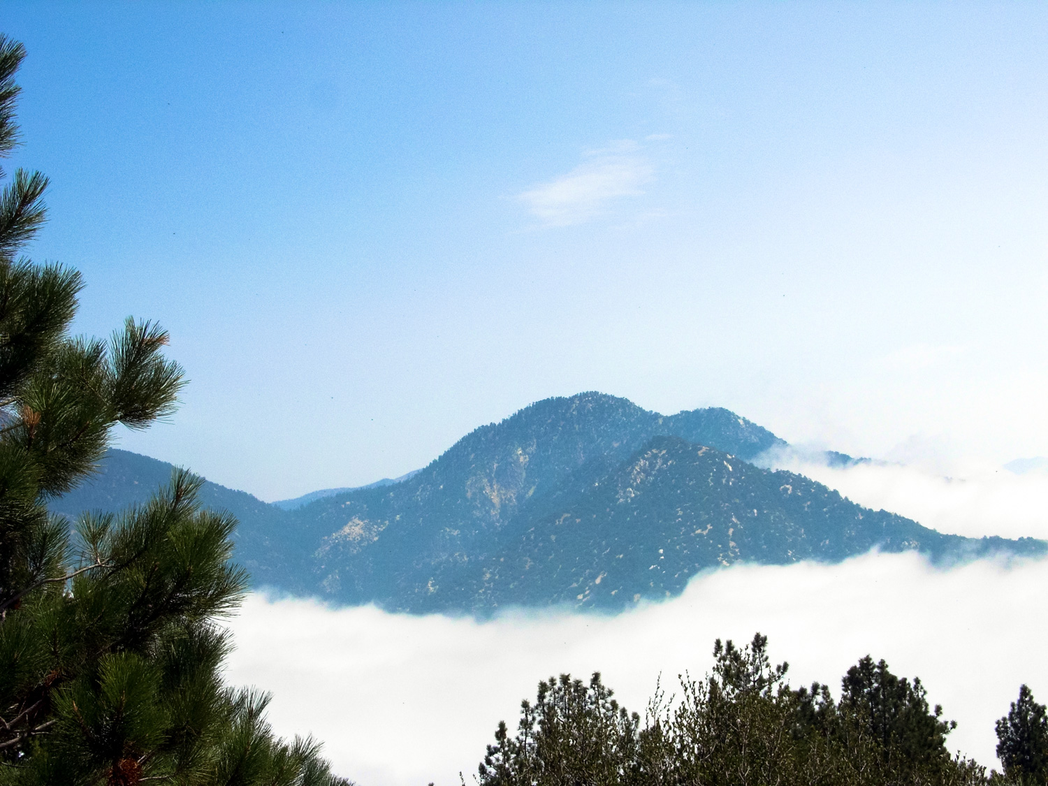
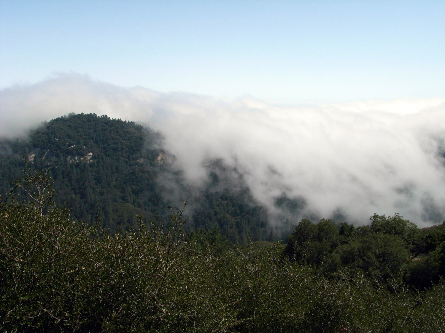
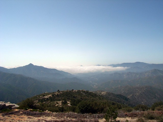
After a few more miles, I finally broke through the clouds and into the pure blue California skies that were hidden from the entire population of Los Angeles.
Suckers.
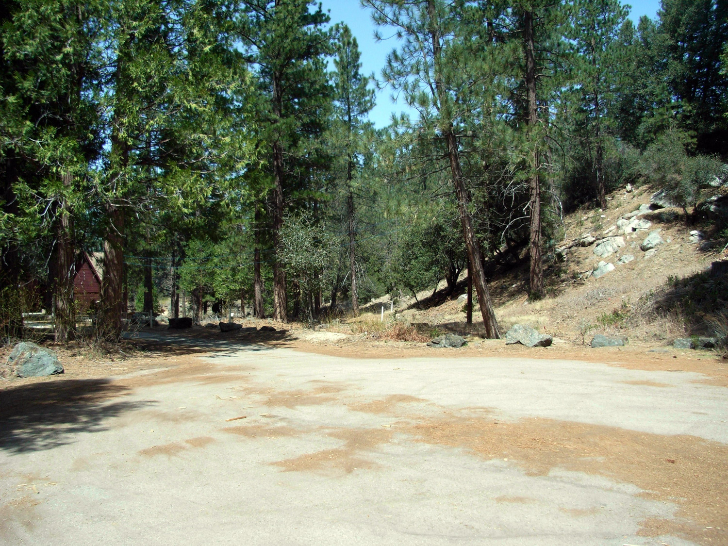
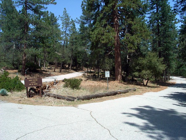
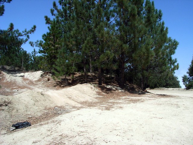
I reached the Charlton Flats turnoff, parked on the road, and crossed the street to the rather inauspicious start of the fire / jeep road to Mount Mooney.
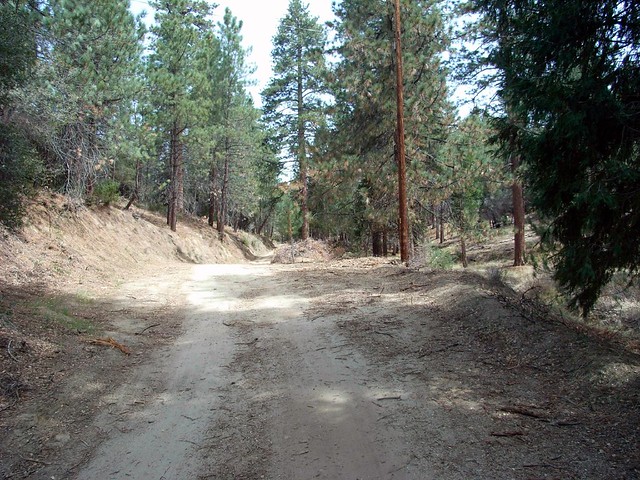
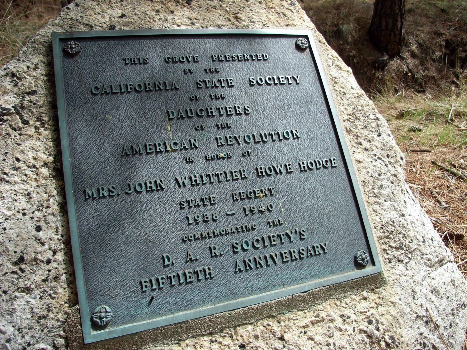
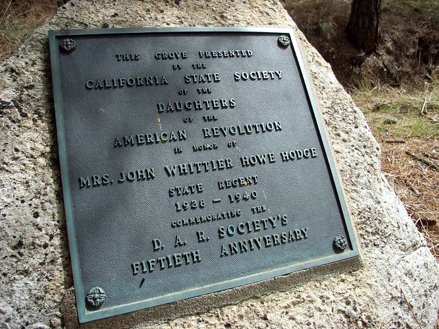
The pavement at the start of the Mooney Trail soon gave way to dirt road, and I would have wandered up it had a plaque sitting out in the middle of a grove not caught my eye.
As a history junkie, I’m not one to pass by a plaque of any kind without reading it – so I hopped off the trail and into the grove. Kneeling down on the carpet of pine needles, the text of plaque came into view:
As I stood up to get back on the proper trail, I heard some thumping from a ridge above me. Looking up, I saw a pair of deer walking through the brush. As I stopped, they turned around to look at me.
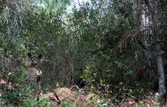
These were the first deer I’d seen in a long time, so I stopped in my tracks and remained silent while they checked me out to make sure I wasn’t a threat. After a moment, they went about their business and wandered back into the woods while I got back on the trail.
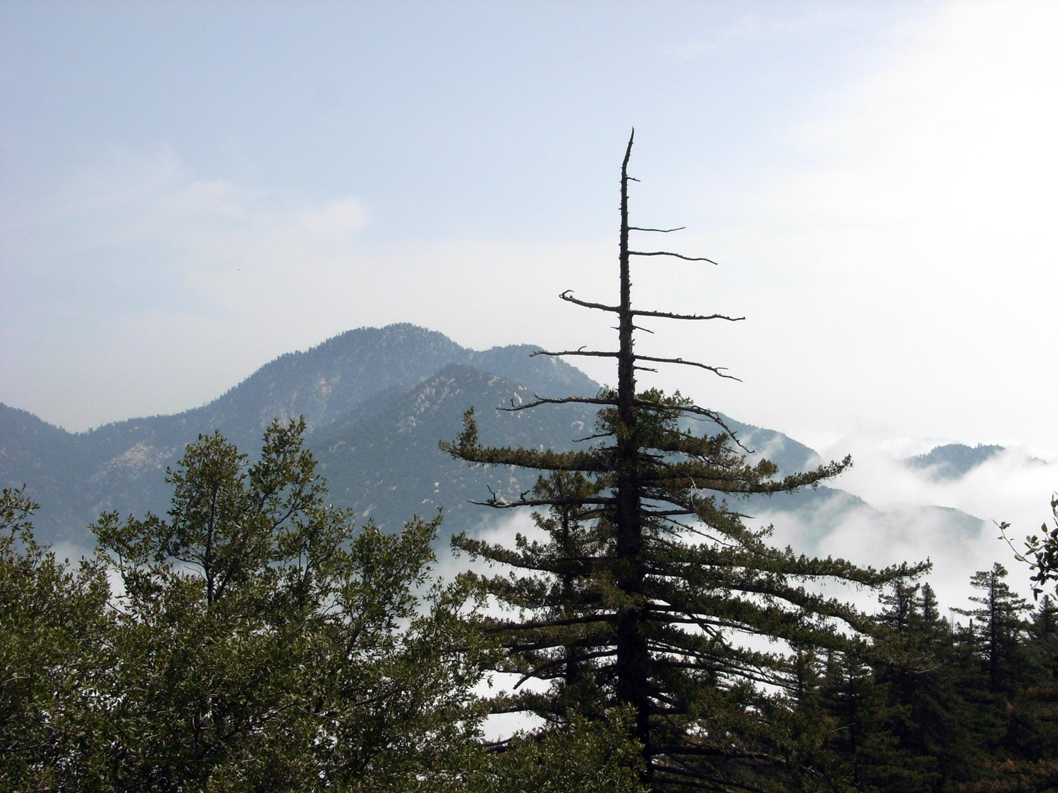
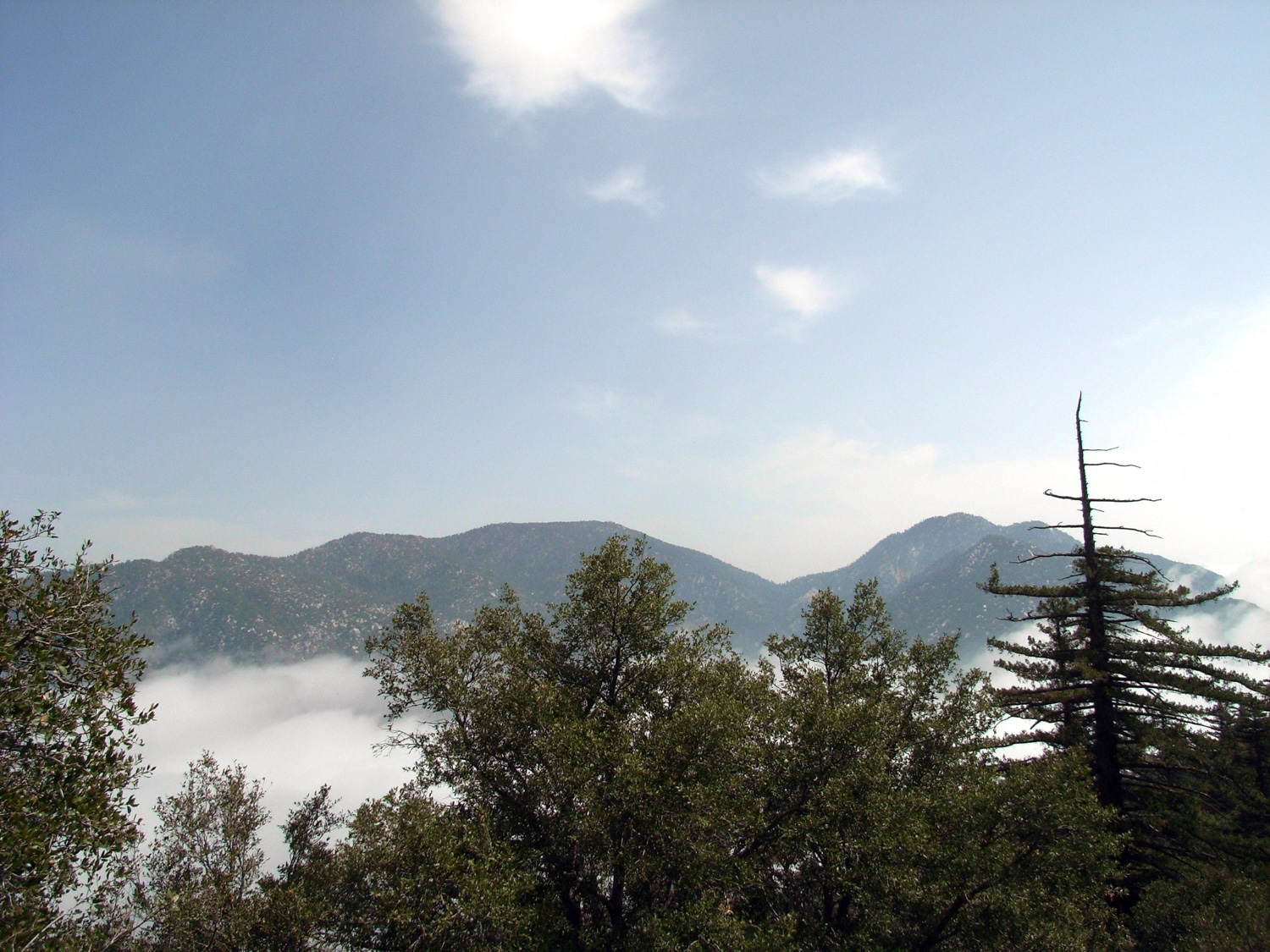
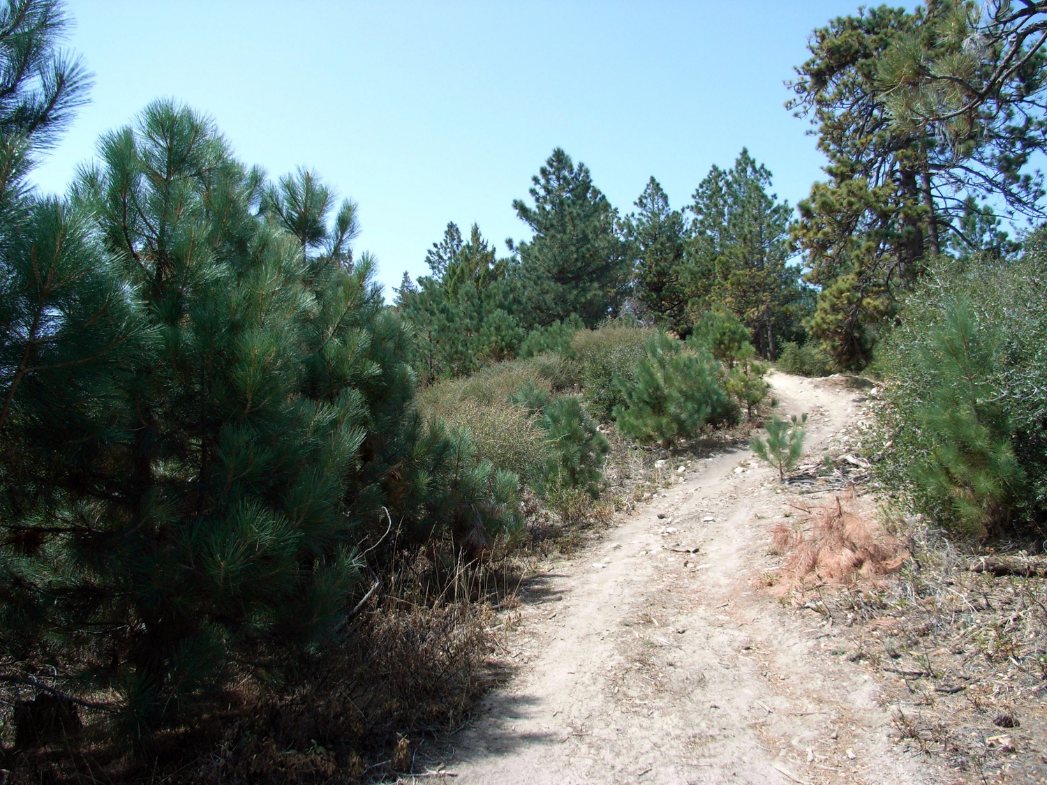
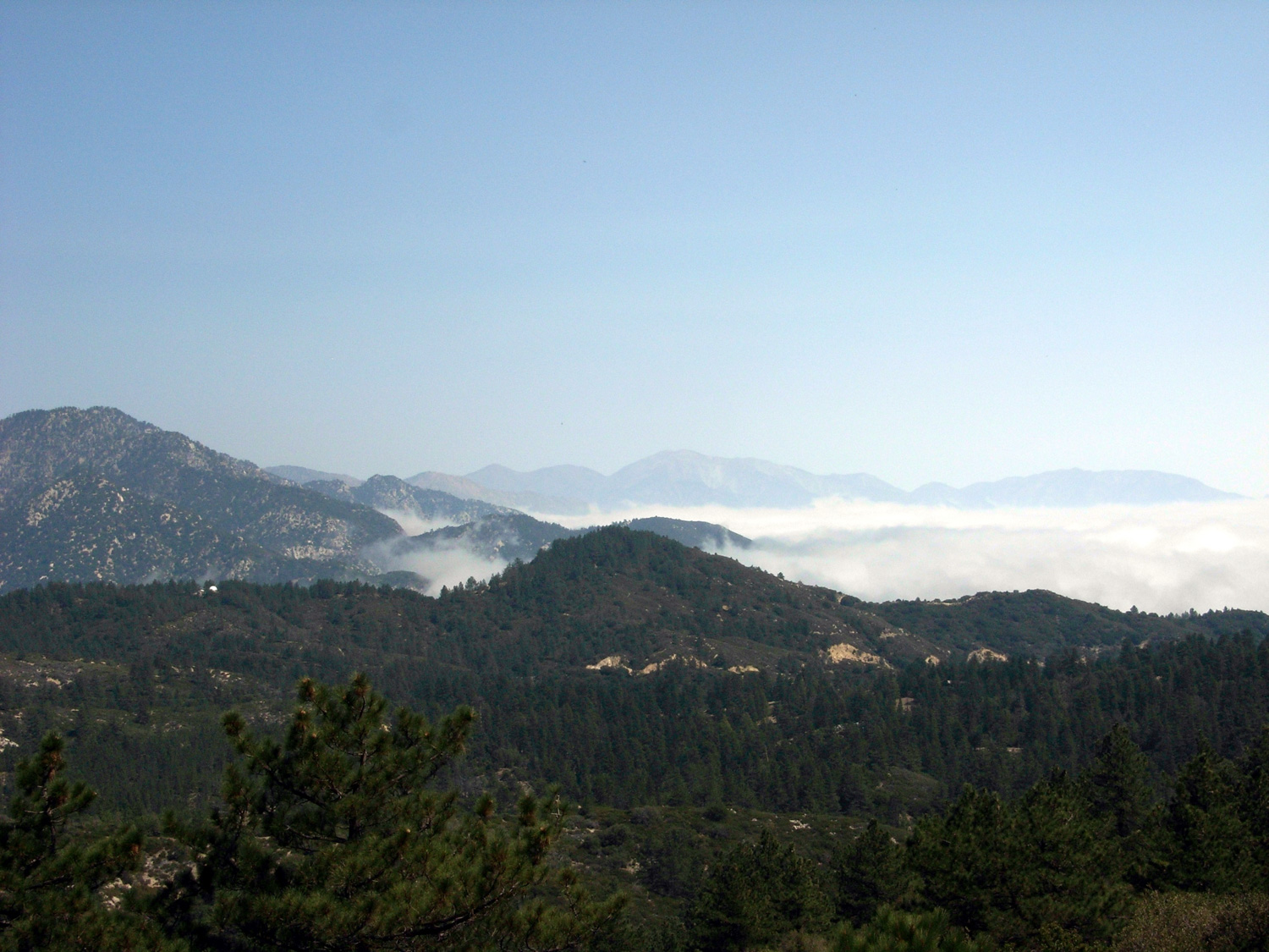
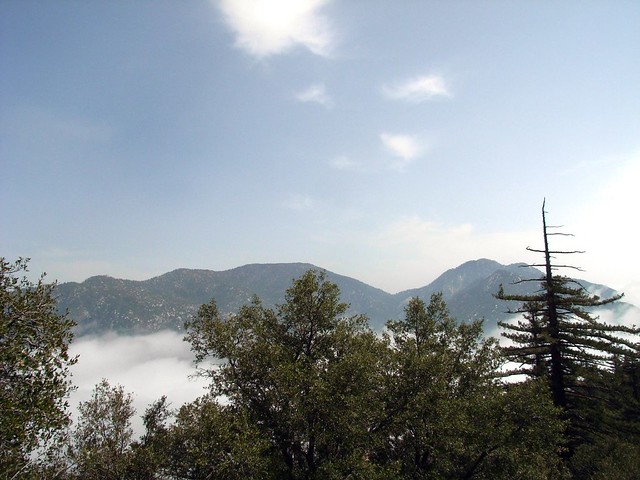
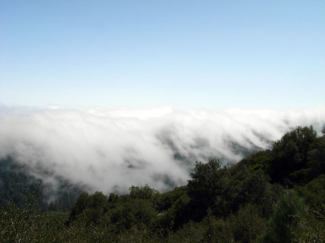
The actual fire road was – like most fire road trails – not very exciting. But it was easy to follow and had plenty of shade from the pines. When I got to the saddle in about 0.7 miles, I got a great view – clouds lapping at the walls of Devil’s Canyon, while Waterman Mountain and Twin Peaks emerged from the cover.
I continued along the fire road after it forked left taking pictures of old trees, when I realized the road I was on was starting to descend – and it didn’t look like it was going up anytime soon. So I turned around, hiked back to the saddle, and found I was on a third, unmarked (at least on my Wilderness Press topo map) fire road.
If you’re hiking this, when you get to the saddle at 0.7 miles take a hard left – walk toward a few water tanks on the slope of the mountain. You’ll see a clear fire road, but it’s not as well-traveled as the one that goes back down the north side of the mountain. FYI.
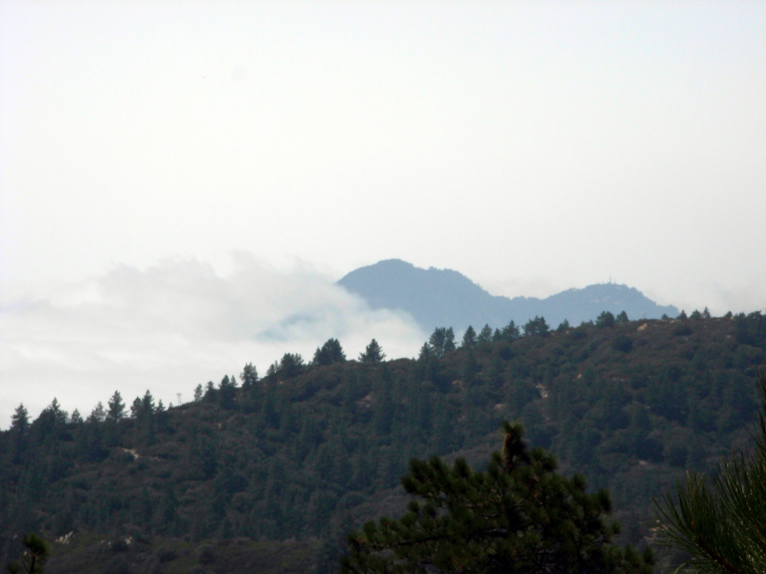
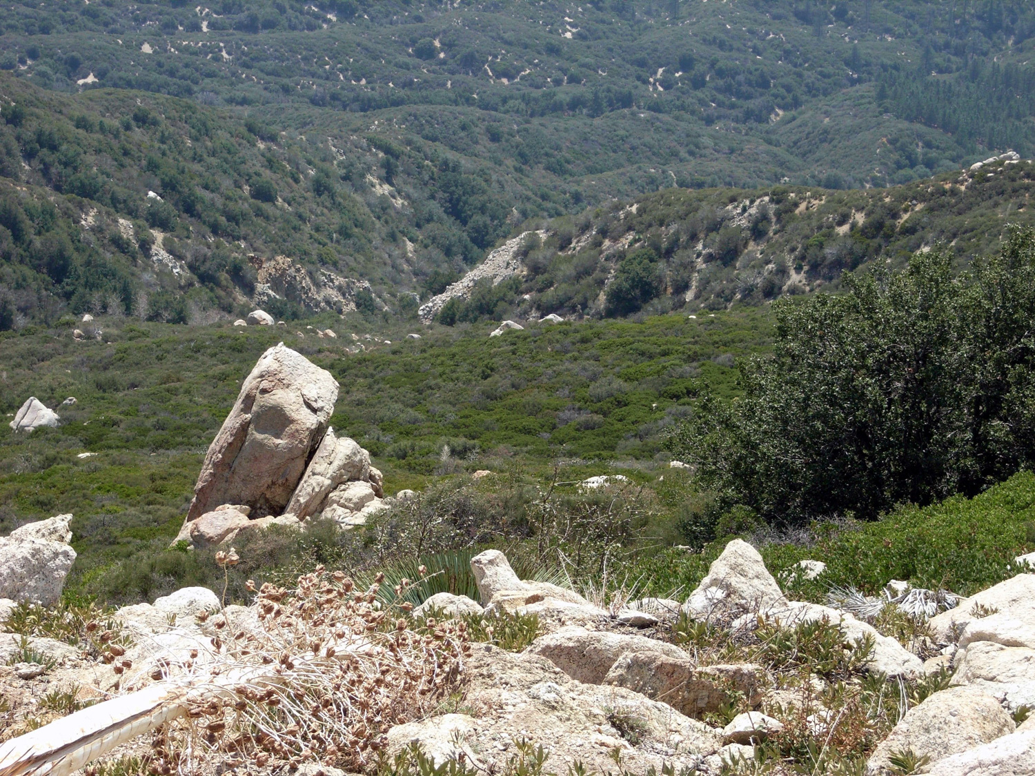
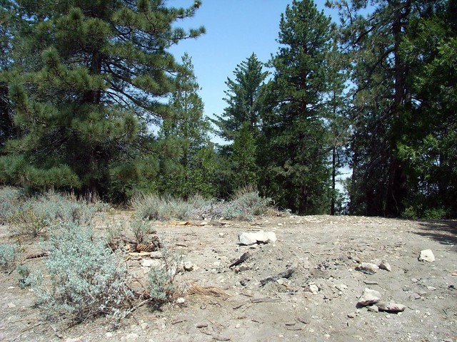
The road gets sandier and dustier as it makes its way toward the summit, but thankfully you won’t have to be on it very long. The summit itself is forested, but you can poke out onto the south slope for some good views of the front range. Or, in my case, more clouds.
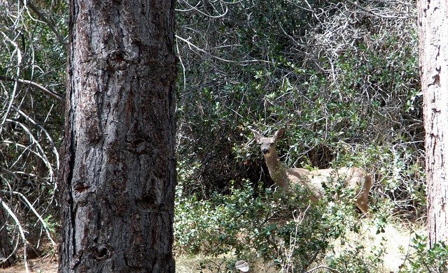
After eating a quick snack at the summit at about the 1.5 mile mark, I made my way back down, stopping when I ran into four deer munching on some grass on the side of the trail. Again I remained very quiet, and this time just sat down on the trail to watch them. We stared at each other for a good minute or two before they walked deeper into the brush. They’d take a few steps, then stop and turn to look back at me to make sure I was still sitting before they moved on. I was happy to take some time out to watch them go about their business, too.
When you reach the Angeles Crest Highway again, you should be at around the 2.5 mile mark.
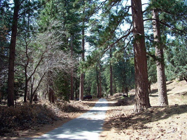
Cross the Highway and descend through the picnic areas to a small paved road. When I hiked this, there were a few people firing up the barbecues there but not nearly as many as I expected there to be. Although the path was a paved road, the giant trees provided a nice feeling of seclusion, even when I was walking by some of the families celebrating Easter.
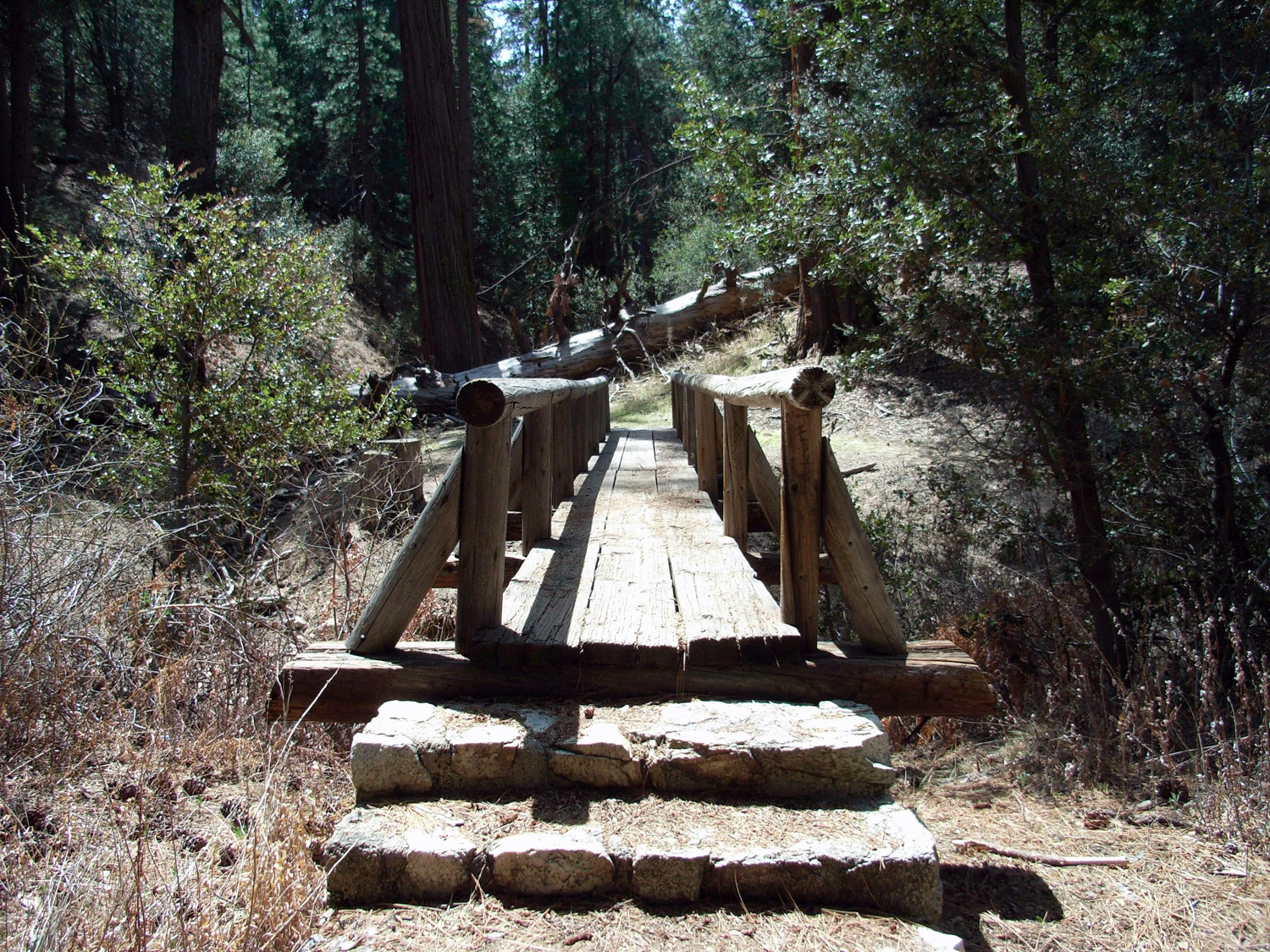
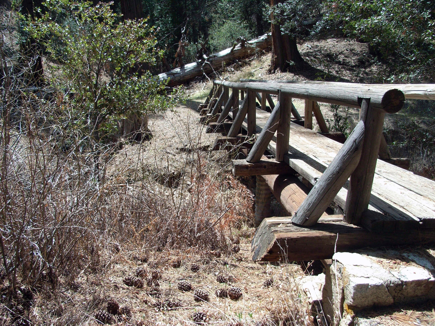
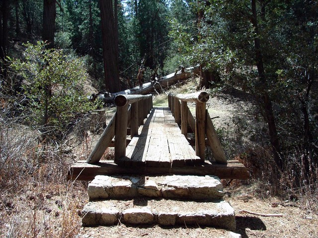
There were a few wooden bridges over a wide seasonal stream.
Finding the actual trail to Vetter Mountain from here can be a bit tricky. After a little bit of walking, the road you’re on comes to a cul-de-sac just before a small bridge. You’ll see this semi-confusing trail marker on the east side of the road:
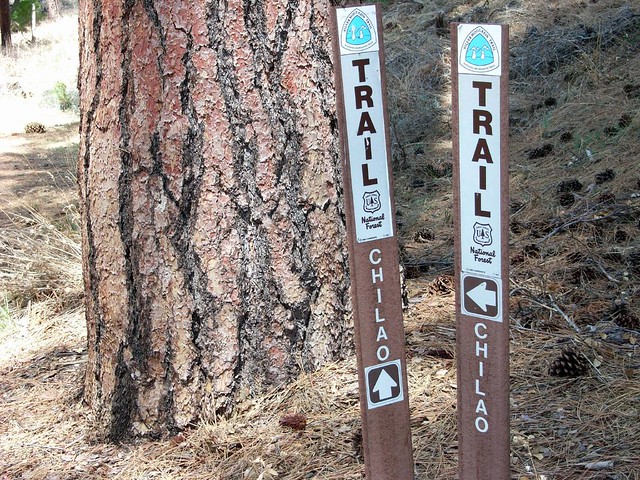
If you keep walking, you’ll miss the turn-off. The sign for the Vetter Mountain trail is actually on the back of one of these markers. So when you get to them at around the 3 mile mark, just head due west across the stream and you’ll spot the trail right away.
This is another trail I was expecting to be crowded. From what I’ve read about the Vetter Mountain lookout, it seems to be a pretty popular place. But I’m guessing most people headed to the lookout just follow the road up the tower instead of wandering north and taking the “long way around.” That works out for us, because this scenery is pretty nice.
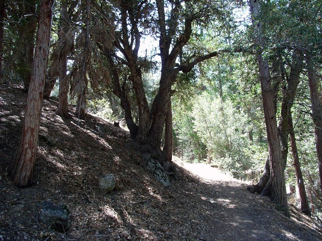
The trail was forested, shaded, and very well maintained. A stream bed follows it for most of the lower section of the trail which, again, would have been nice had there been any water.
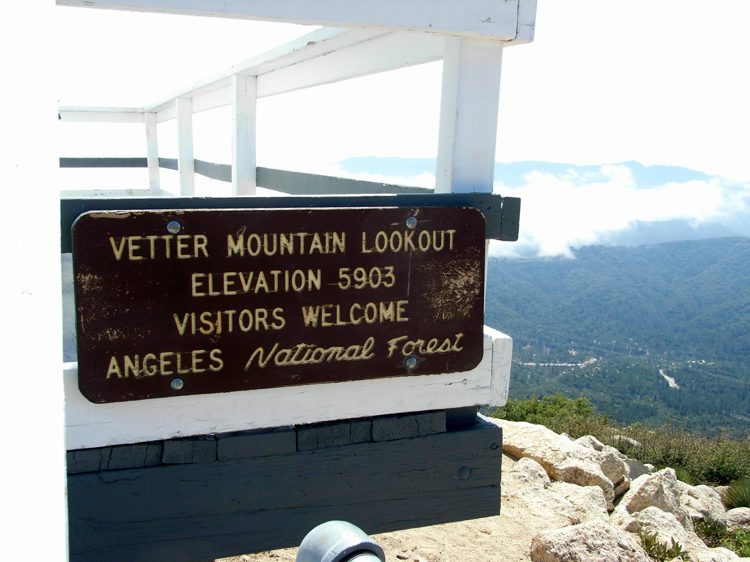
Eventually the trail winds back into some low shrubs, and then hooks south for the major incline around the 3.8 mile mark. You’ll gain about 600 feet in a little over a mile. Soon, the Vetter Mountain Lookout Tower came into view – a nondescript, short, white building.
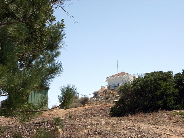
Unfortunately, this historic fire tower – built in 1935 – was burned down in the Station Fire of 2009 and no longer exists. For a great peek inside the tower, my friend Kolby shot a video with one of the volunteer lookouts.
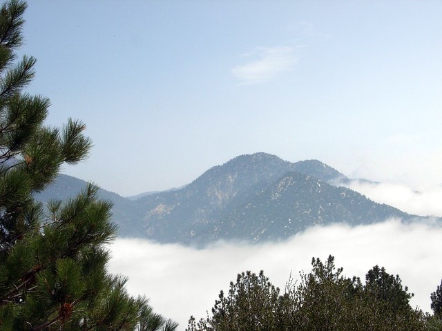
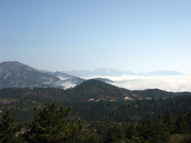
Construction on a new replacement structure was set to begin in 2013, although it’s still currently limited to a makeshift shelter. As of 2017, the lookout is planned to be restored in its historic form, although only a concrete foundation has been poured so far. You can still hike along the old roads to the lookout site, which is a great place to watch the marine layer roll in.
That said, even if the tower isn’t there – the views still very much are.
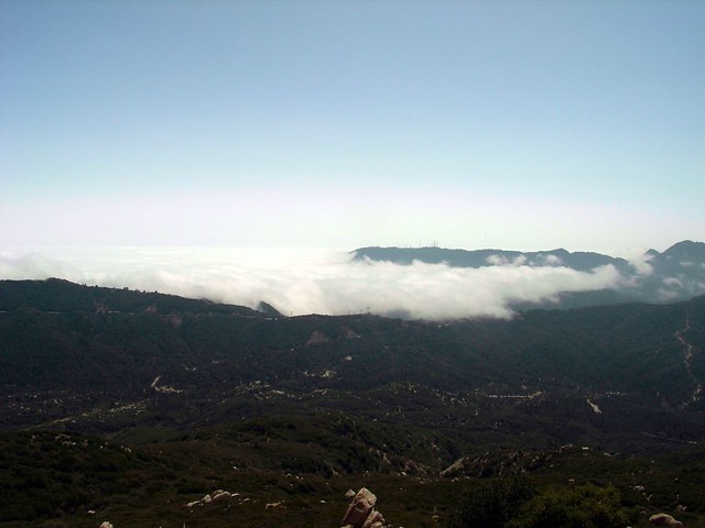
After taking in the views, it’s about two miles on another paved road back to the car. And no, paved roads aren’t usually nice to hike on, but when you can look to your right and watch clouds literally wrap themselves around a mountain range, it’s not all that bad.
Tags: Angeles National Forest, Hiking, Los Angeles, Mount Mooney, Trail Write-Ups, Vetter Fire Tower, Vetter Mountain