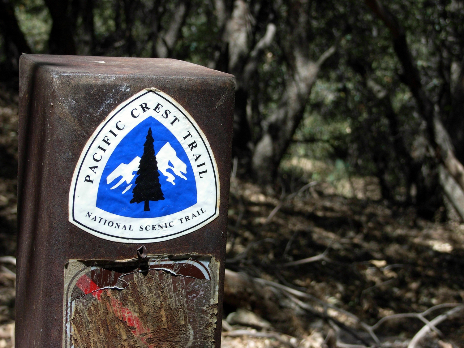
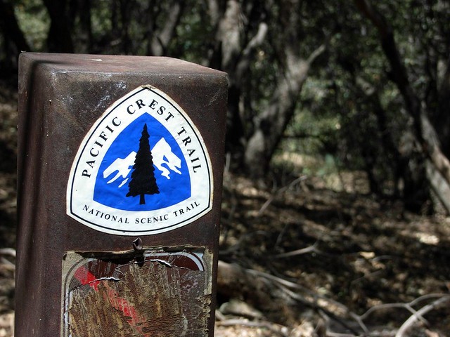
A short stint on the Pacific Crest Trail to a mountain with a lot of history. A cool, shaded, north-face trail takes you to the summit’s old Nike Missile radio base. Unfortunately, the largest wildfire in modern Los Angeles County history has left most of this area in disrepair and inaccessible to hikers.
IMPORTANT: Please note that the roads leading to this trailhead are still closed due to damage from the 2009 Station Fire and the trails themselves are in very poor condition. We strongly recommend you choose another trail to hike until repair crews have had their chance to maintain this trail.
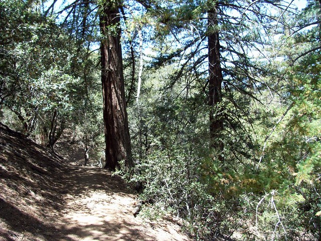
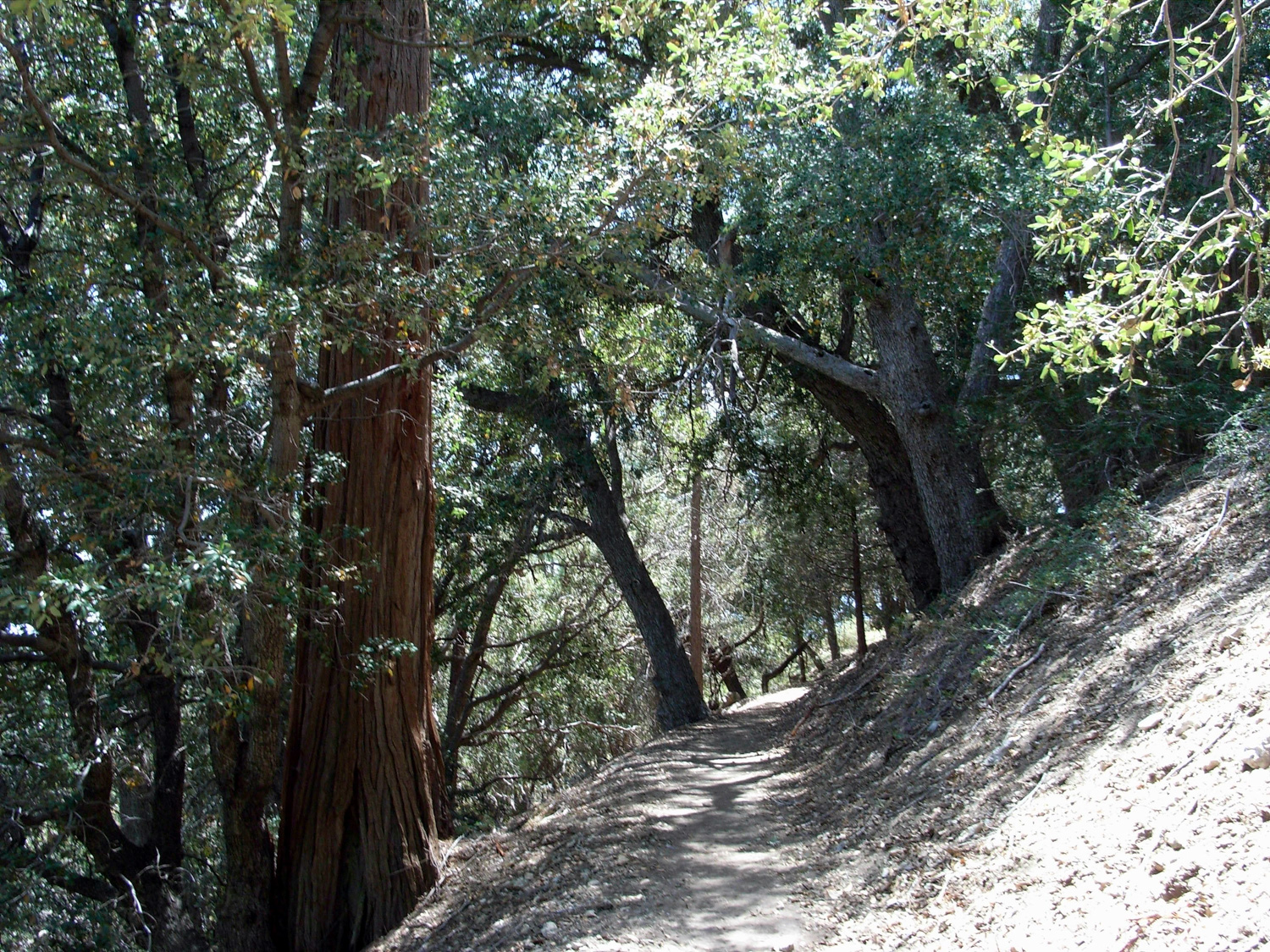
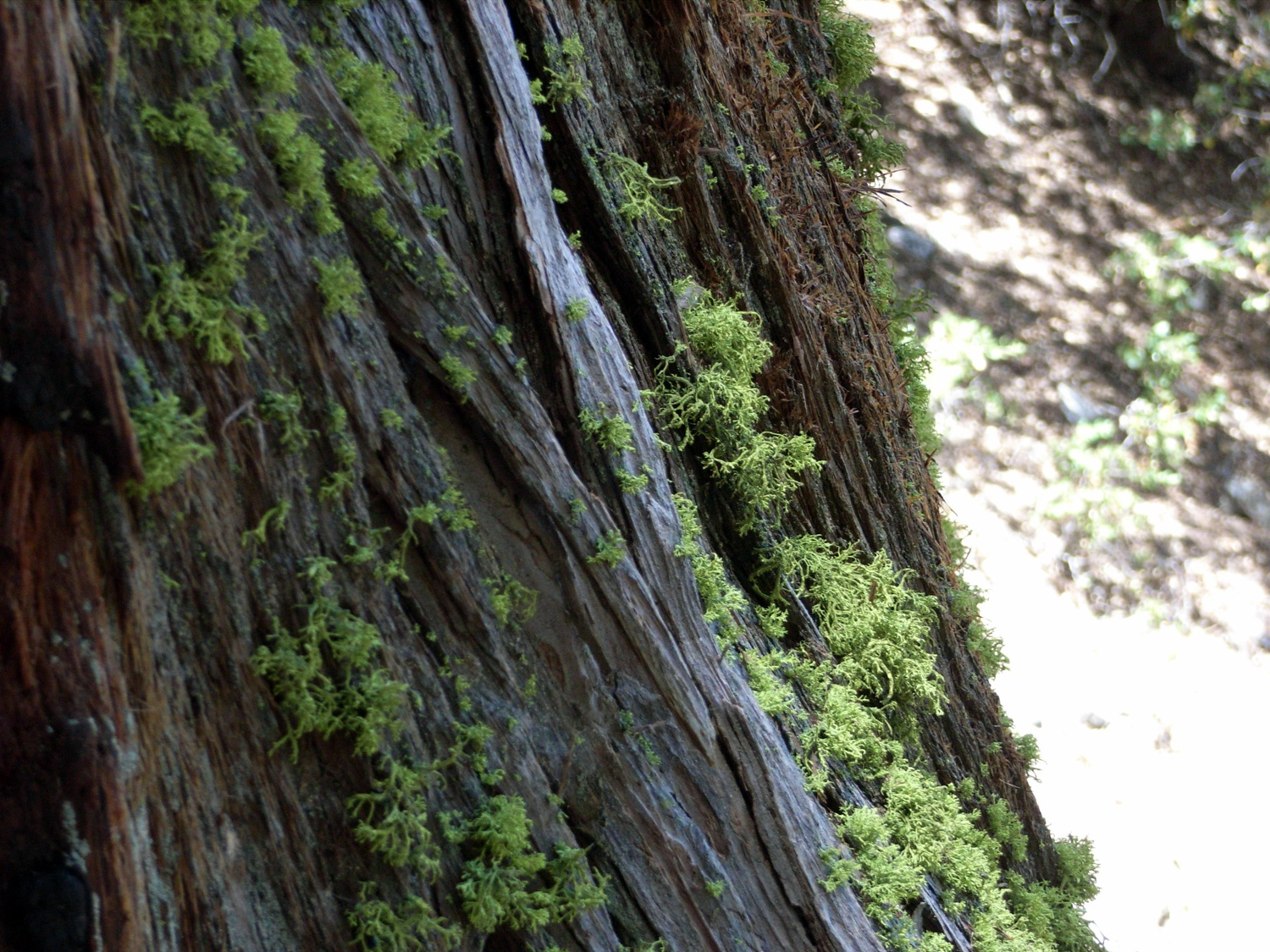
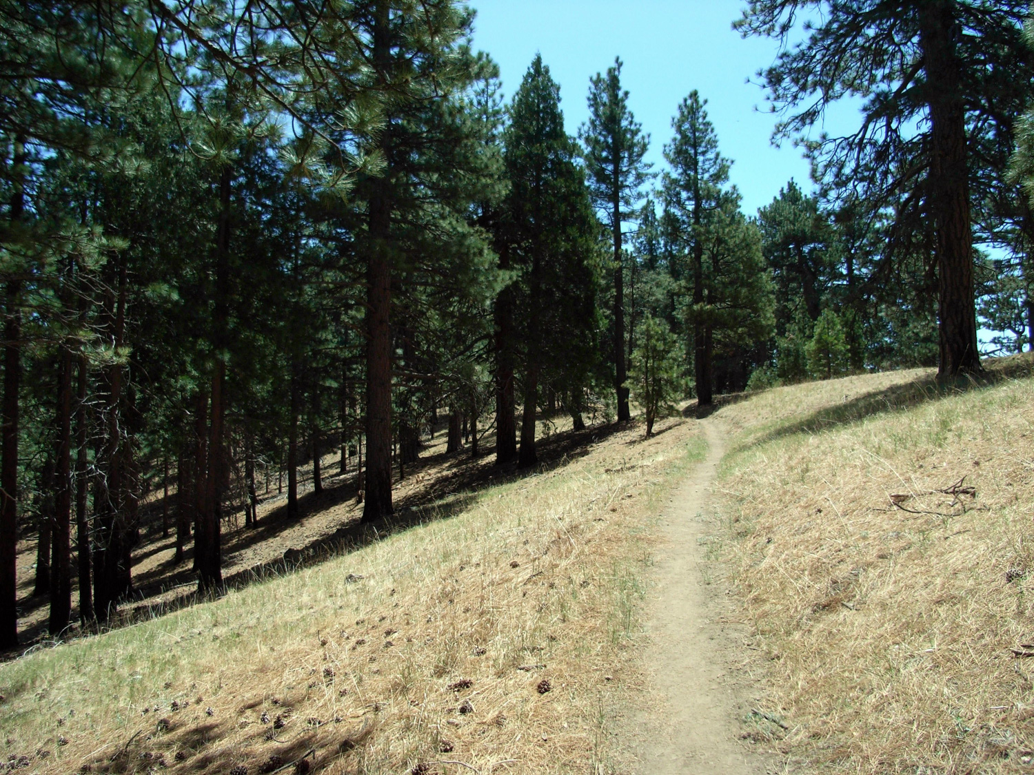
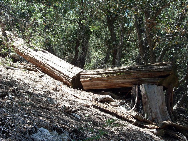
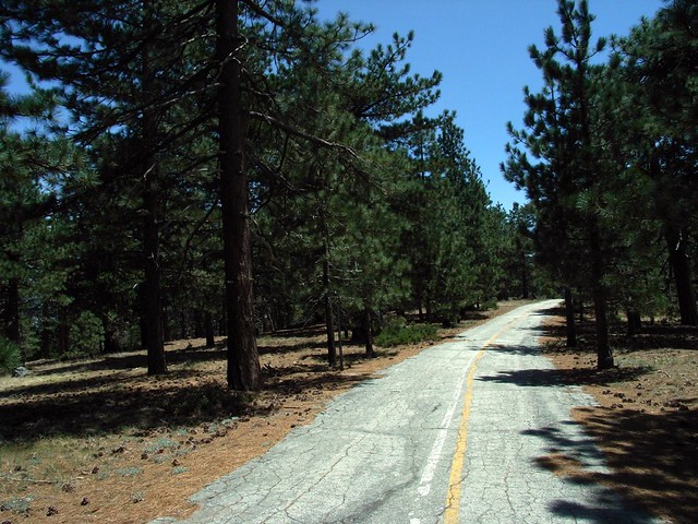
The PCT is well cared-for and generally clear of debris. There are, however, several nice fallen trees on the sides of the trail.
As the trail continues up the north side of Mount Gleason, it intersects what is either an old dirt road or the former grade of the PCT.

There is an old gold mine in the canyon below this trail, but I’ve been informed that the land is privately held and no permission is given for hikers to enter.
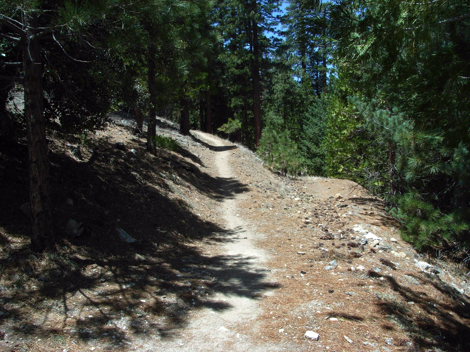
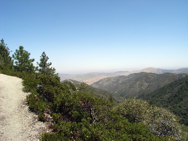
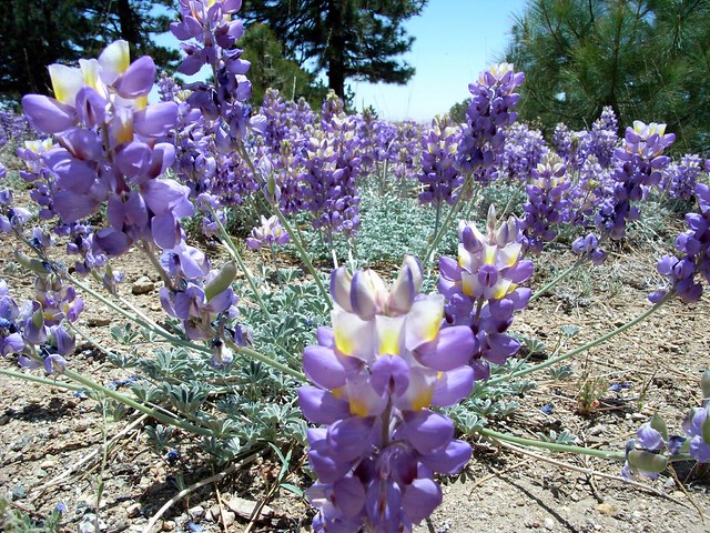
As you get closer to the ridge, the trees start thinning out into mini-meadows, which are absolutely beautiful to hike through when the wind is tossing the grasses around.

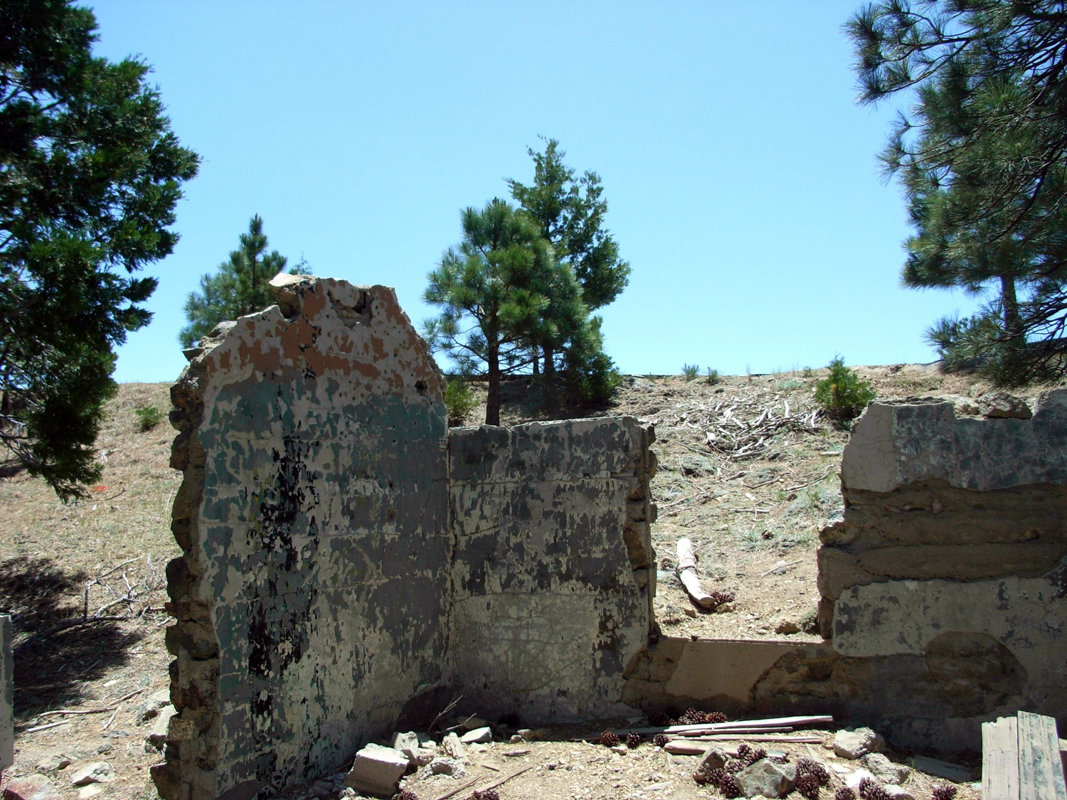
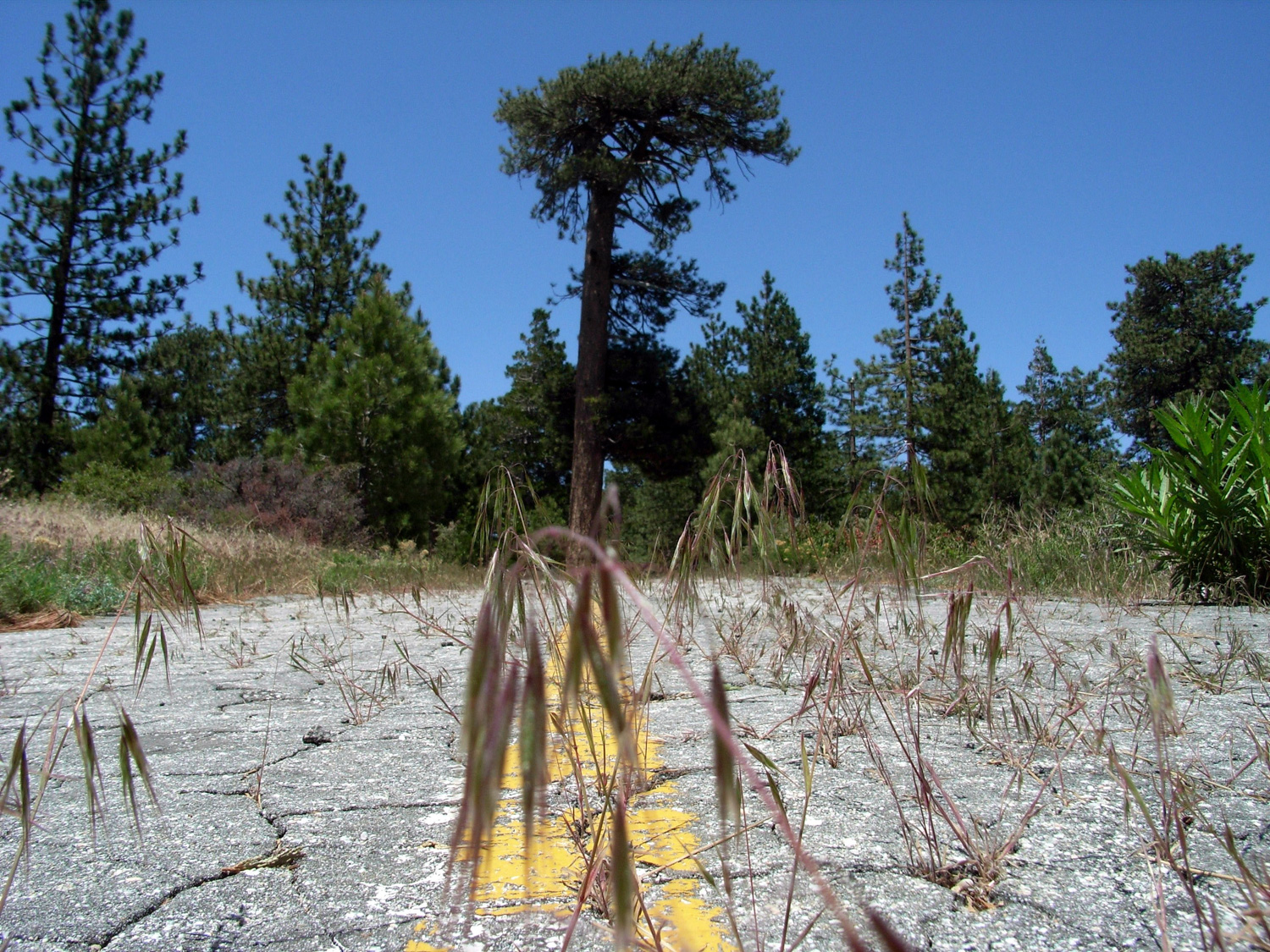
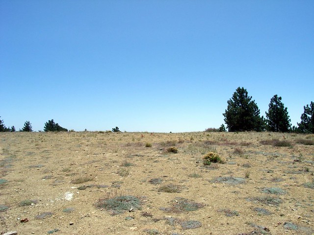
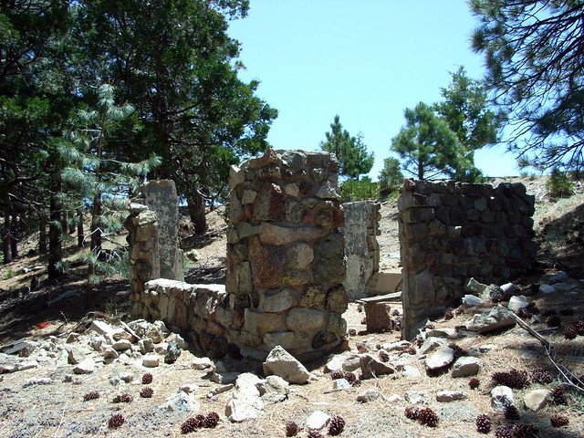
The former site of a Nike missile radio base, a large chunk of the natural summit had been leveled for the buildings, which have since been removed. The result is a seemingly out-of-place plateau surrounded by the more traditional-feeling forest.
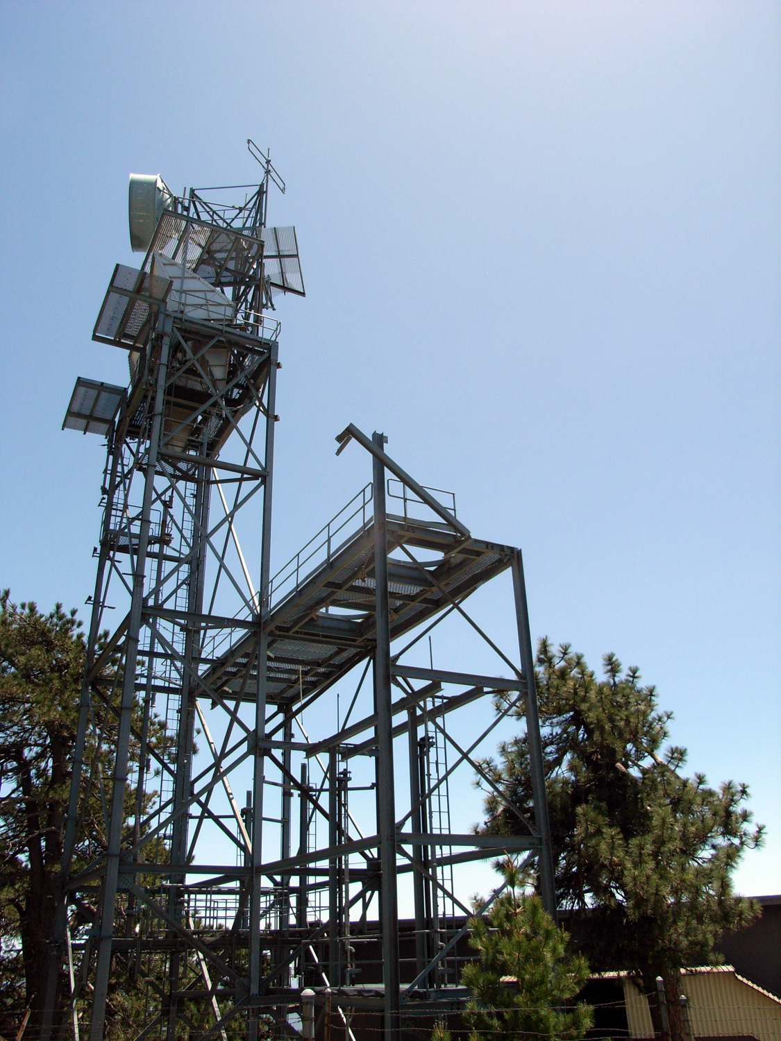
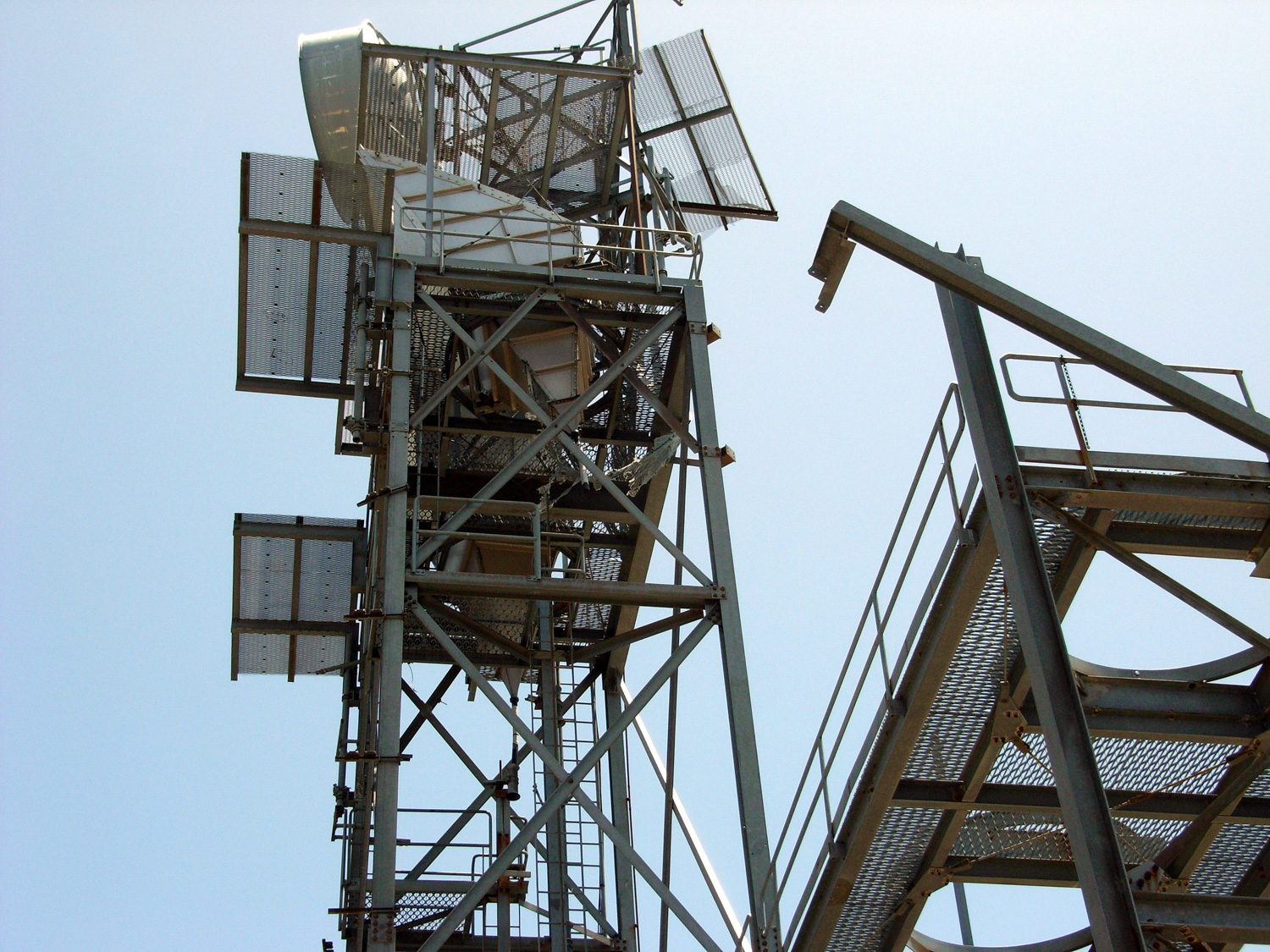
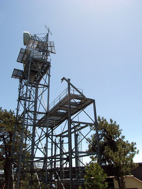
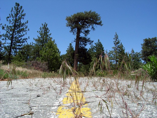
After a short walk down a long disused paved road, the trail meets back up with the paved / dirt road I used to get to the trailhead, right by a more intact abandoned radio tower.
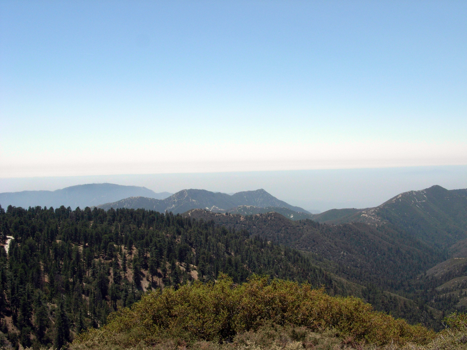
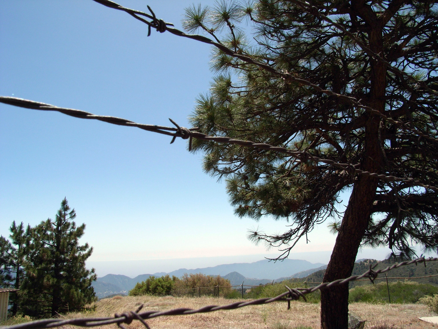
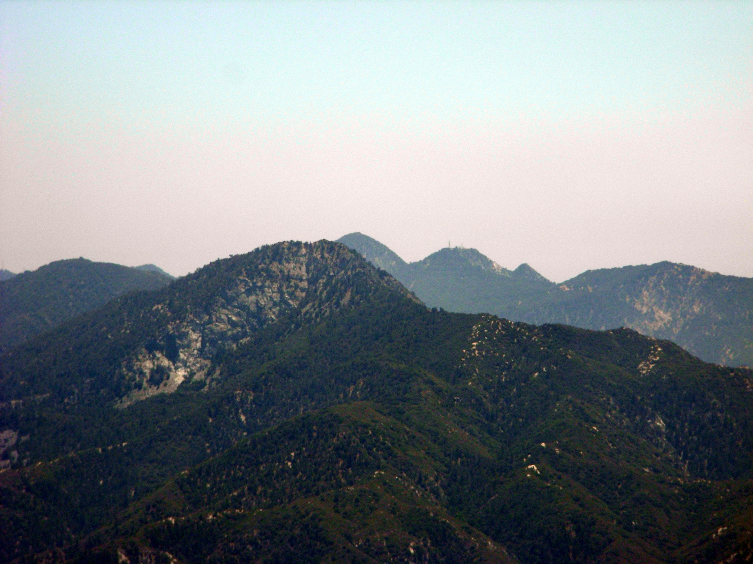
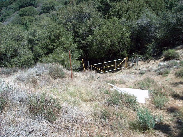
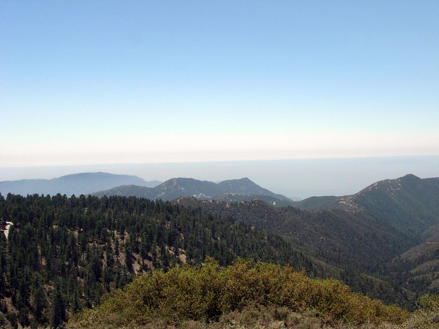
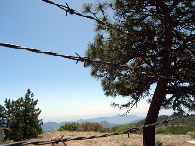
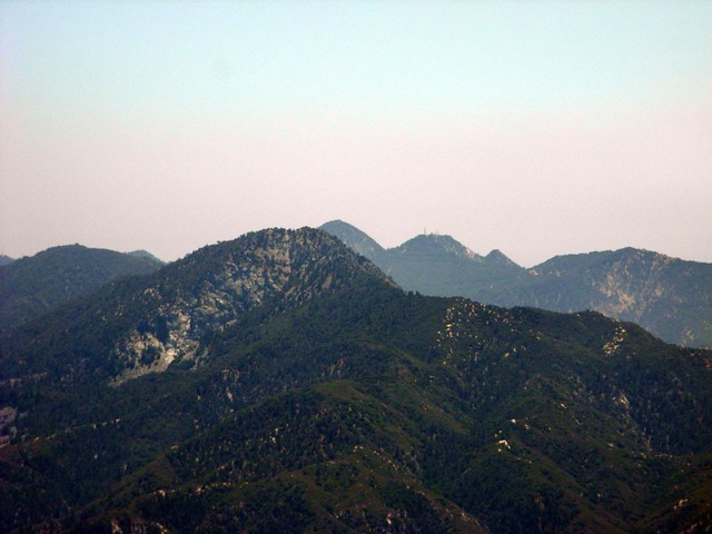
The tower is pretty much stripped bare and surrounded by a nasty barbed wire fence, so you won’t be able to do much exploring … but if you walk around the north side of the complex, you can find some nice boulders to sit on while you eat lunch … and take in some nice views of Strawberry Peak and the backs of the front range while you’re at it.
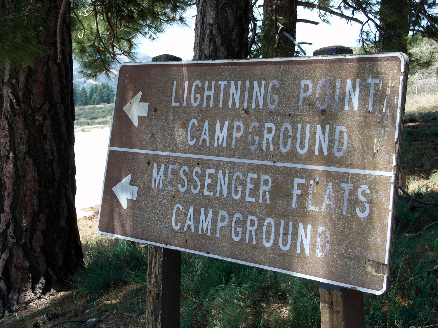
When you’re done, follow the abandoned road back to the trailhead.
Tags: Angeles National Forest, Hiking, Los Angeles, Mount Gleason, Pacific Crest Trail, PCT, Trail Write-Ups