Jones Peak is a prominent peak in the front range of the San Gabriel Mountains that offers up spectacular views on clear days, a small waterfall after a good rainstorm, and a healthy dose of leg-busting year round.
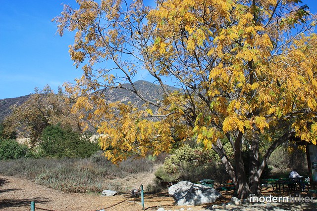
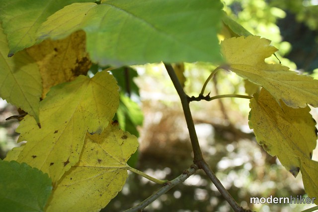
Sierra Madre was the first town in Southern California to establish its own wilderness preserve – and it’s still in great shape. Just past the picturesque downtown area of the small city is the entrance to Bailey Canyon Park – a beautiful city park nestled right up against the base of the San Gabriel Mountains. Near the parking area are several picnic areas and a memorial to local hikers – and when I arrived on a sunny, warm morning the small park was bustling with activity from local youth and church groups – but I was focused more on the amazing yellow foliage of this tree:
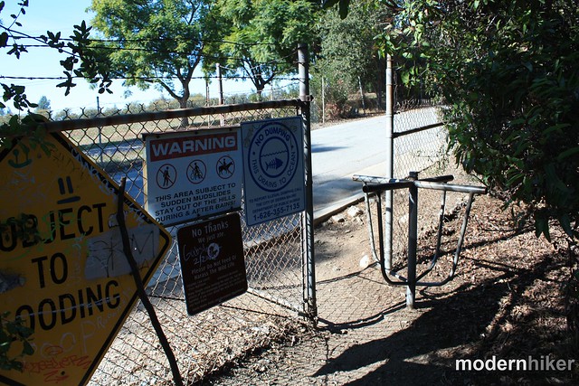
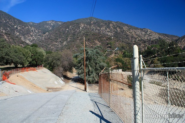
Follow the footpath west through a few more picnic areas. Pass through a turnstile and turn right onto the paved road as it swings around the western side of the large debris dam just north of the park. Don’t worry – the pavement soon ends and you’ll be in the woods on the bank of the canyon.
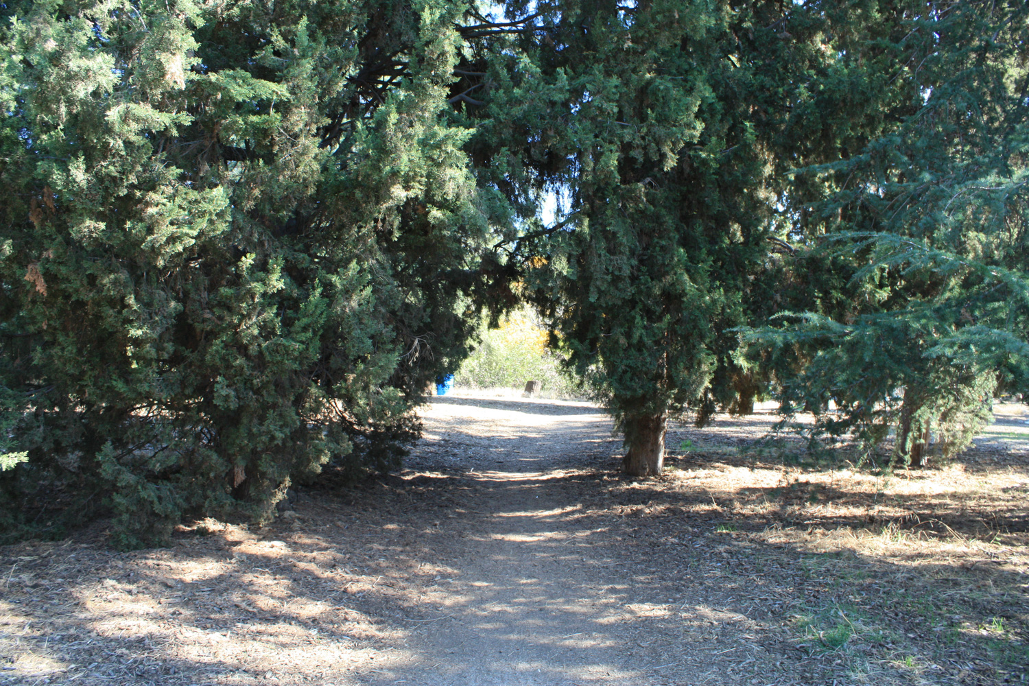
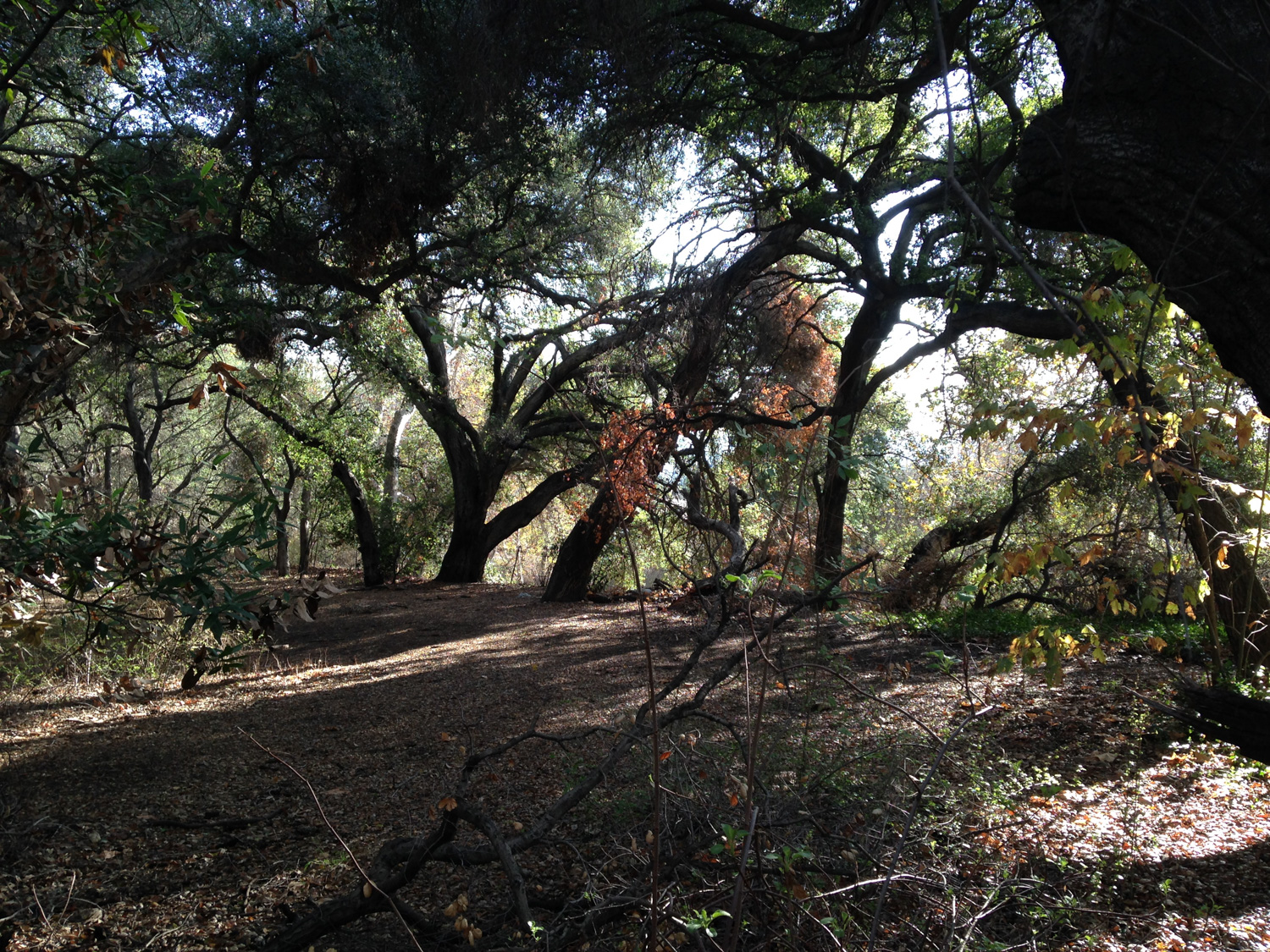
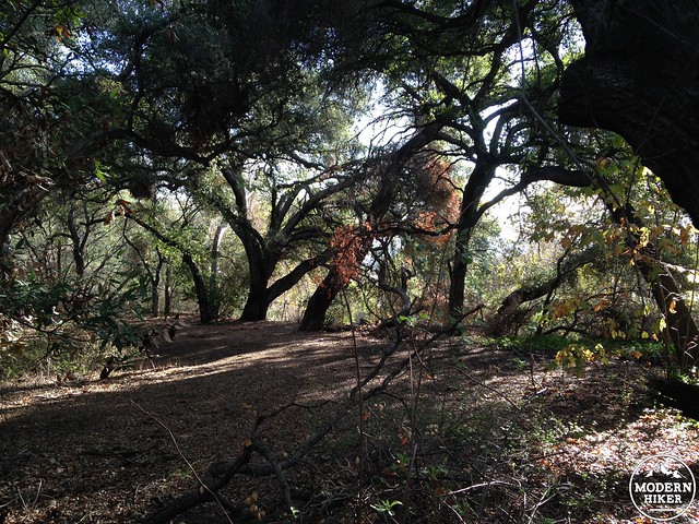
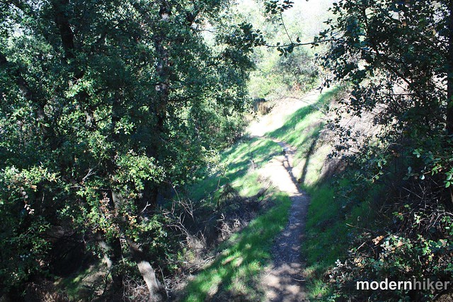
These early stretches of trail are very pleasant – the path narrows and becomes surrounded by traditional SoCal scrub vegetation, a beautiful grove of Live Oaks lies just across a short bridge to the east of the trail, and a small collection of cacti line the trail on its western edge.
You’ll note a bridge crossing the creekbed toward a section of the canyon that’s a bit more forested. This will lead you to a short but very pleasant nature trail through a grove of native oaks. Feel free to add this on to your trip or make a quick visit on your way back out to the trailhead – if not, continue heading north into the canyon.
After half a mile, you’ll come to a 3-way junction on the trail. If you just want to head to Jones Peak, stay to the right and start the ascent – otherwise, take a short detour on the left and hike on the Canyon View Nature Trail toward the waterfall.
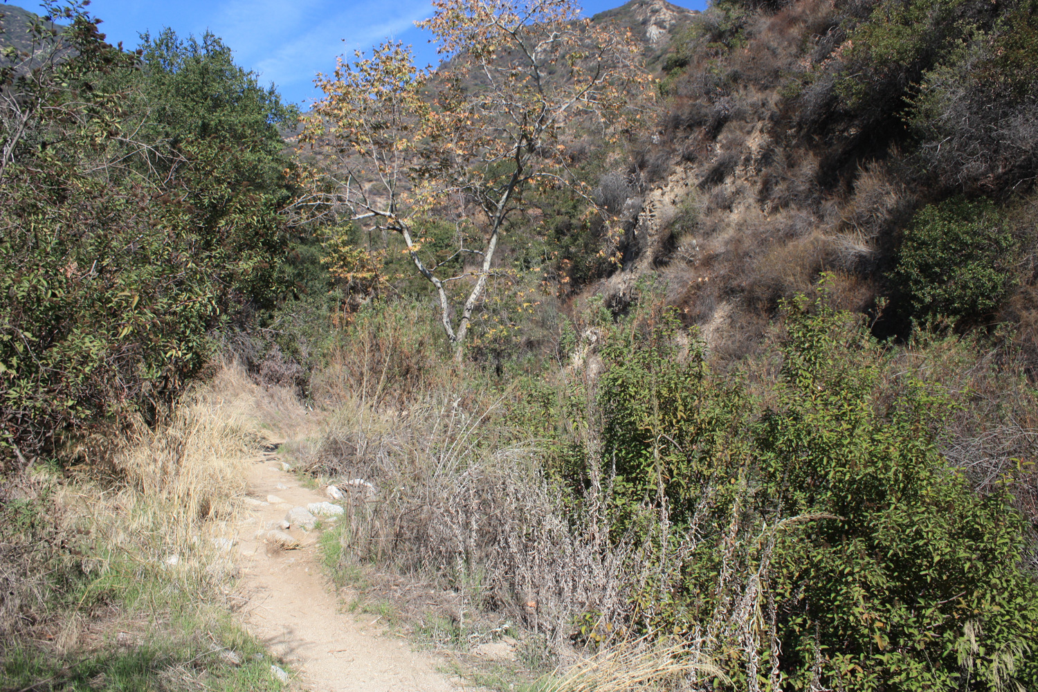
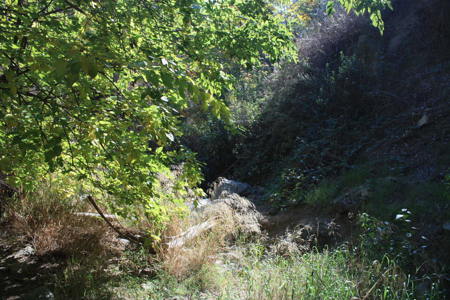
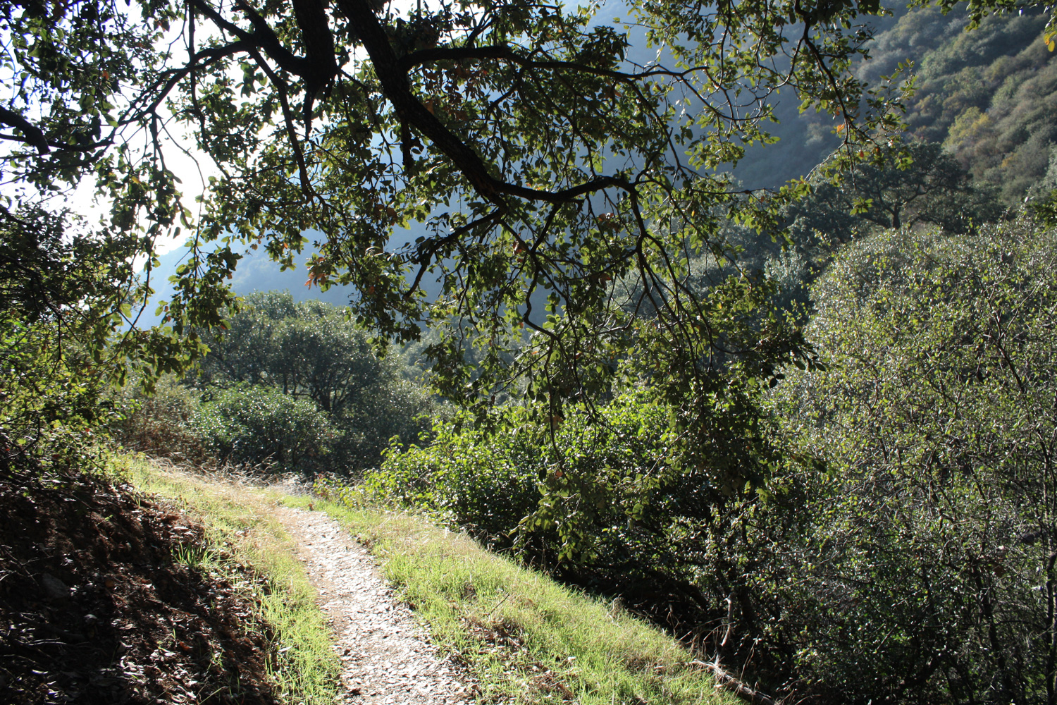
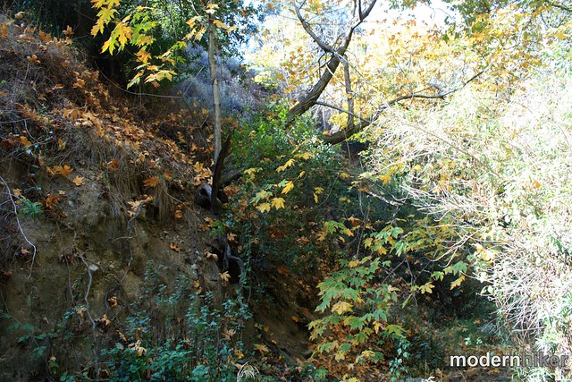
Bailey Canyon narrows remarkably quickly – and although you’re probably only a few minutes’ time away from the parking lot, soon you’ll feel like you’re deep in the San Gabriels. The trail follows the stream bed of Bailey Canyon itself, and cuts through some surprisingly dense greenery. When I was hiking this route, the path was dry – but I imagine during the wet season you’ll be walking through a bit of water here.
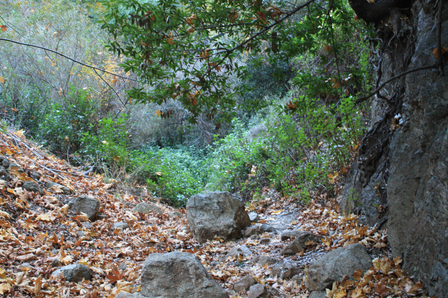
For now, just enjoy the shade and the drastically cooler temperatures in the canyon. And, if you’re coming in the late fall, you might even get a little glimpse of some SoCal foliage!
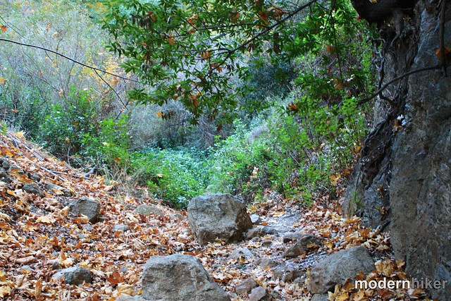
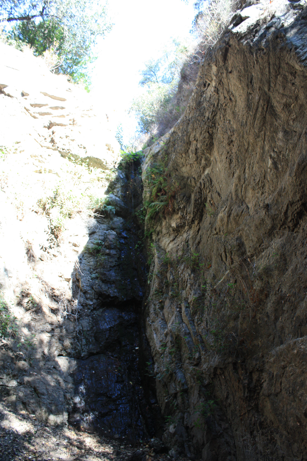
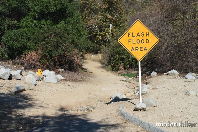
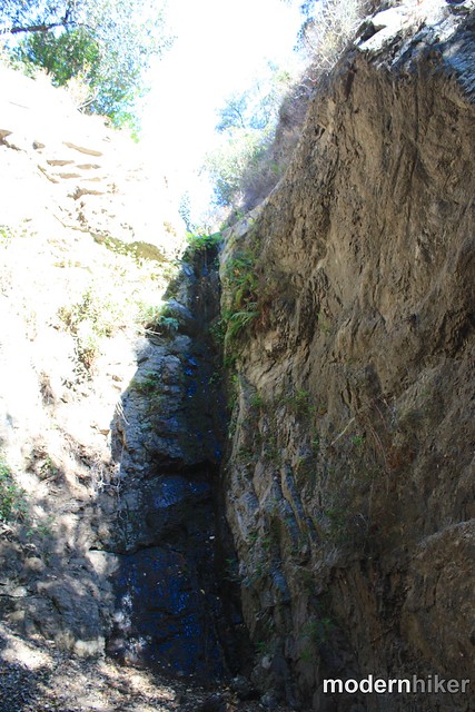
This trail is only 0.25 miles, but because it’s so rugged it will probably take you a bit more time to cover that distance than you’re used to. At the 0.7 mile mark, you’ll reach the base of the 35 foot tall First Falls. When I hiked this, there was a small trickle of water coming down off the falls and more weeping from springs in the nearby canyon walls. There should be more water coming off of this fall in the wet season, but Bailey Canyon is pretty short so the water flow won’t last very long (also, it should be noted, you should not hike this canyon during or shortly after it rains – the area is notorious for flash floods).
While hanging out at the base of the falls, I met a few other hikers who told me about a canyoneering route that heads all the way up the canyon to more water and up the ruins of the cabin. There’s still an unmaintained use-trail just before the falls that you can scramble up to the top of First Falls, but after that it gets more technical and gear is required.
When you’re done at the falls, backtrack to the trail junction and keep left this time, heading toward Jones Peak.
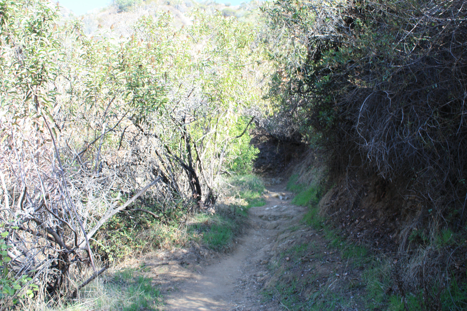
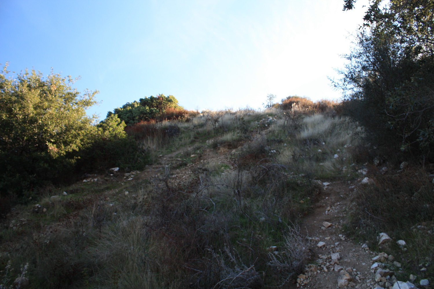
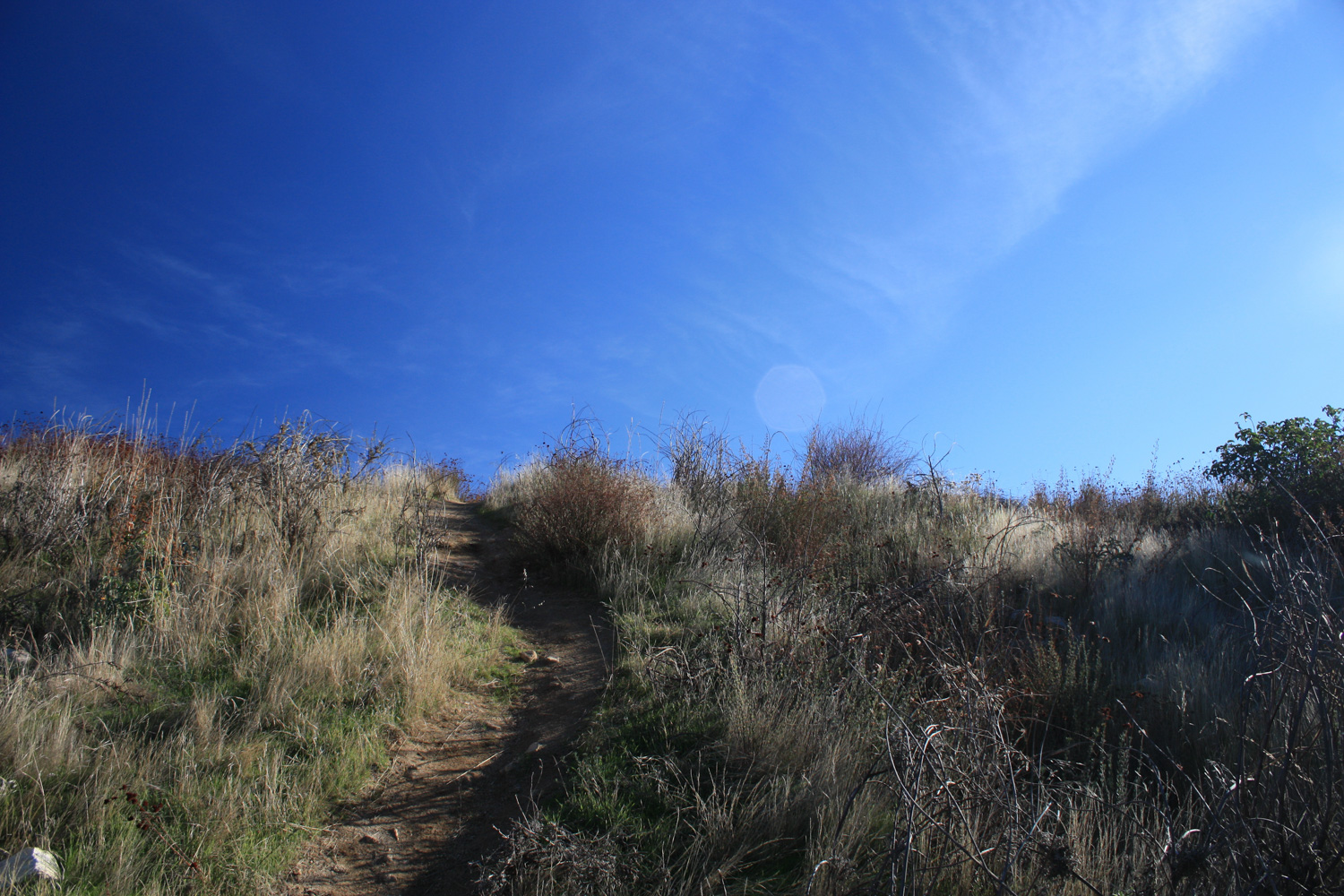
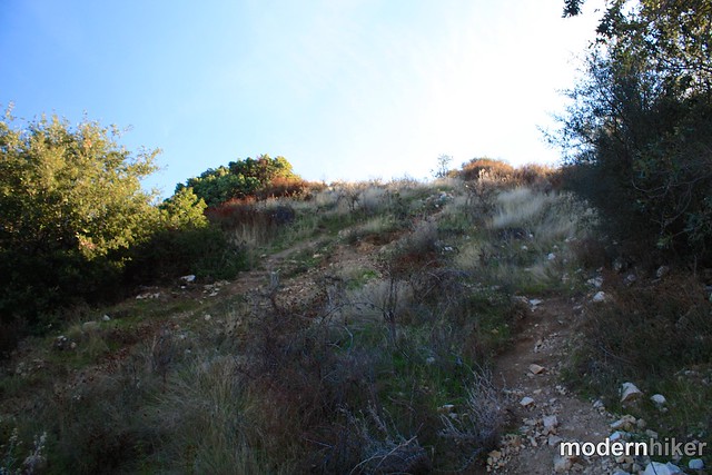
Unlike the trail to the falls, this trail is very well maintained, clear – and HOT in the warmer months. From here, it’s a little over a mile and a half and 1116 feet of elevation gain until a brief break – and it’s almost completely shadeless along the way. If you’re doing this hike in the summer or on a warm day, this is why you should aim for an early trailhead time – it’s much easier to deal with that sun on the way down than on the way up.
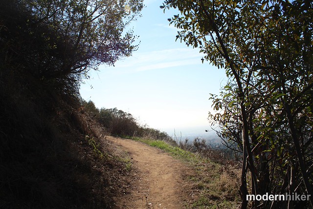
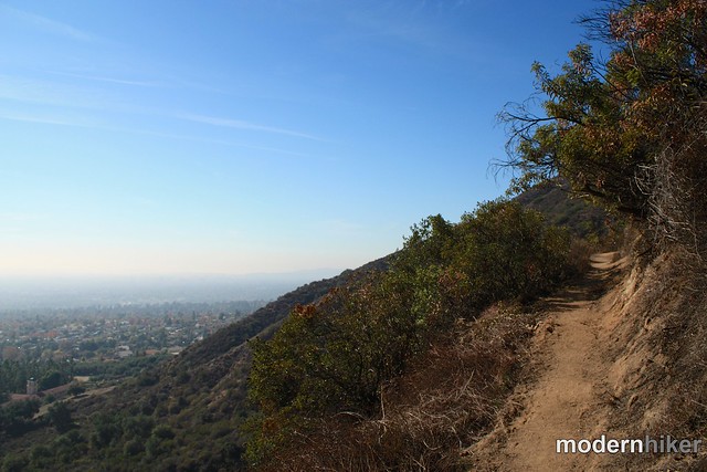
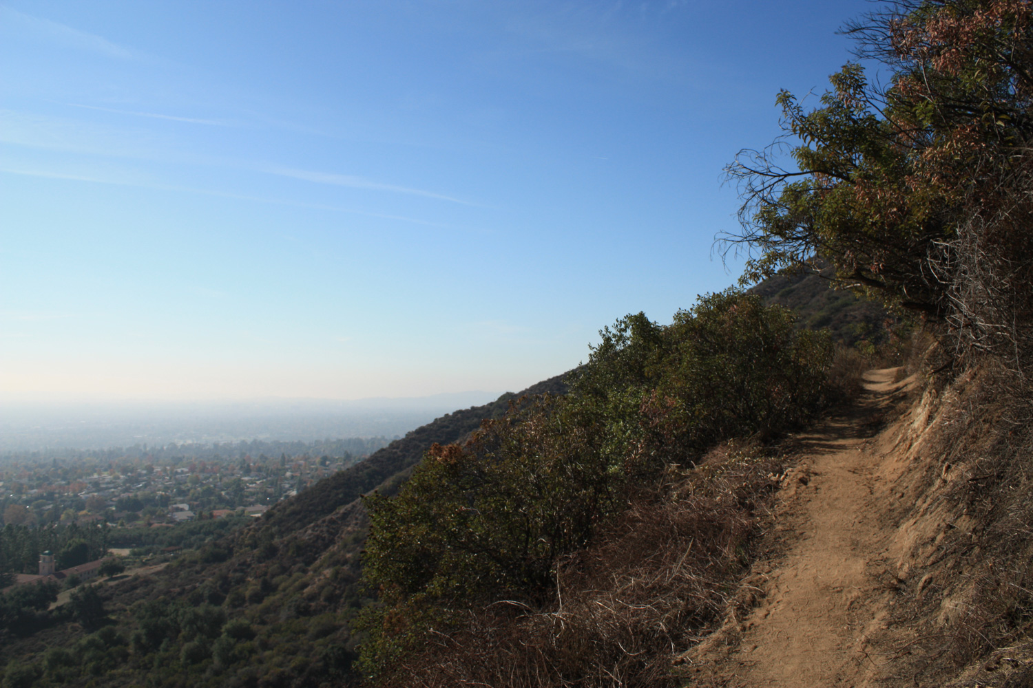
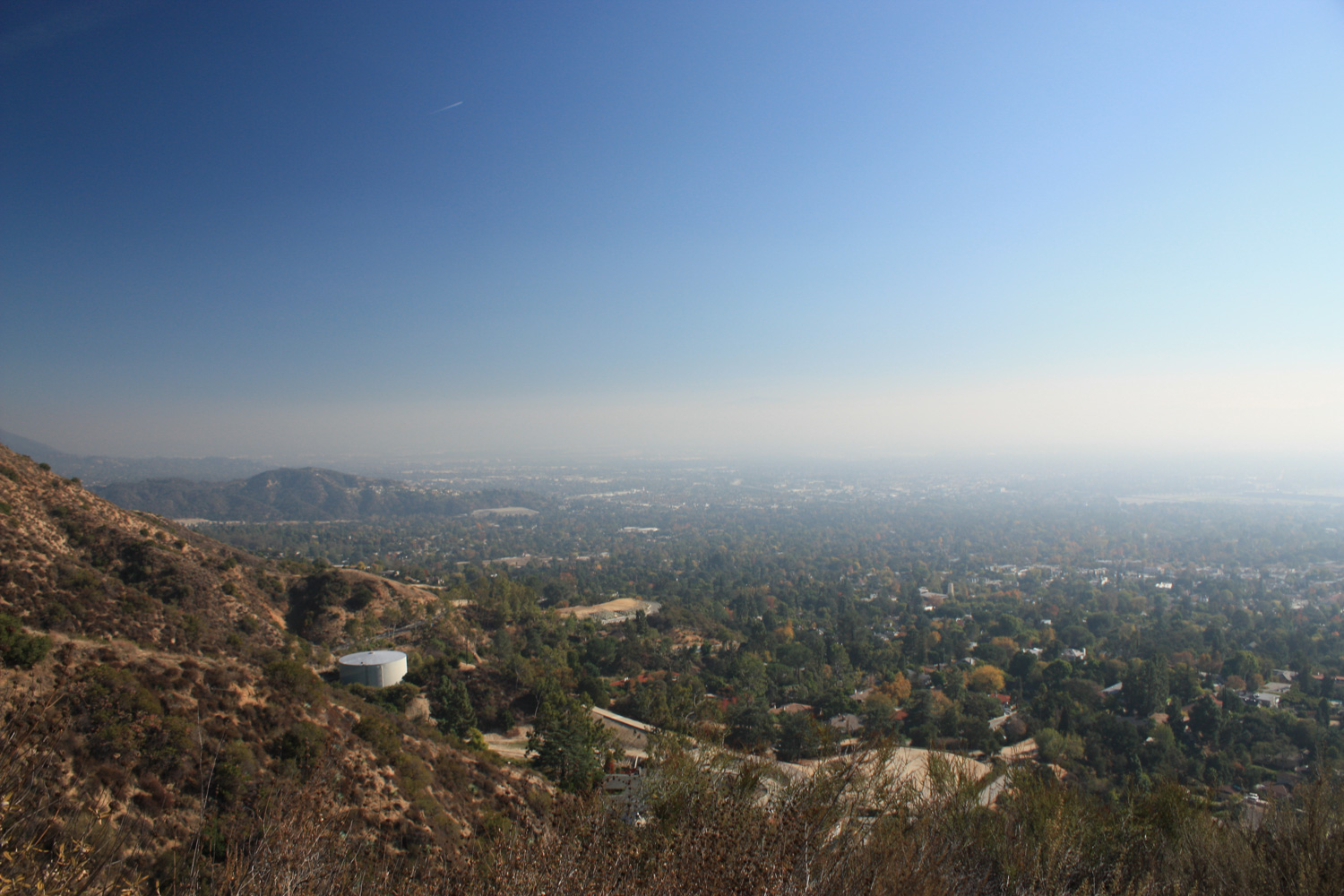
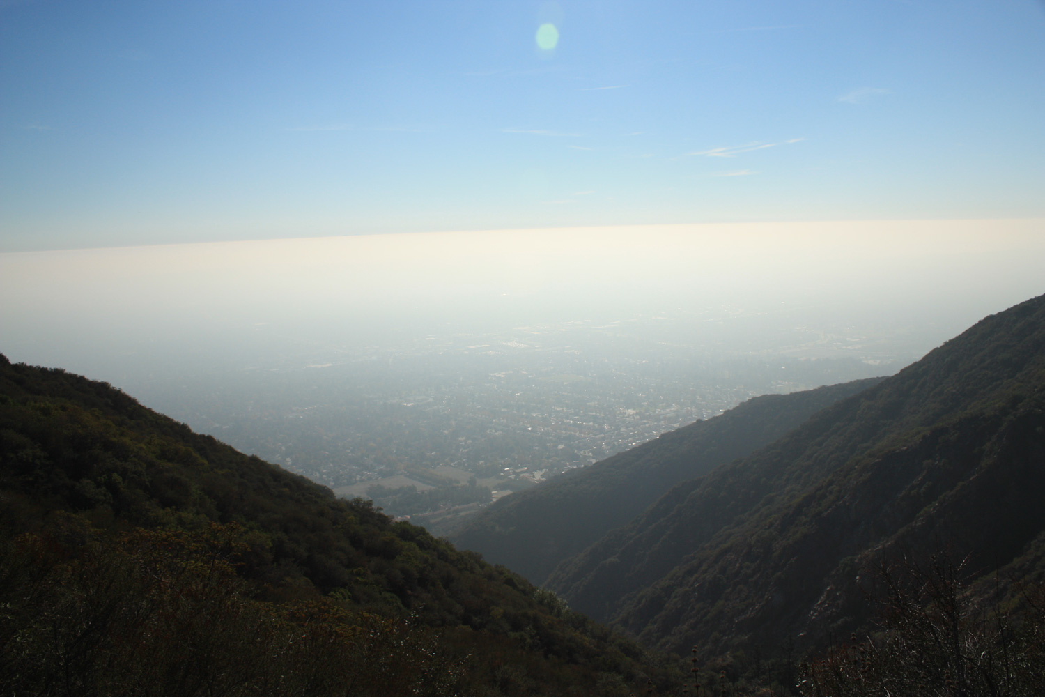
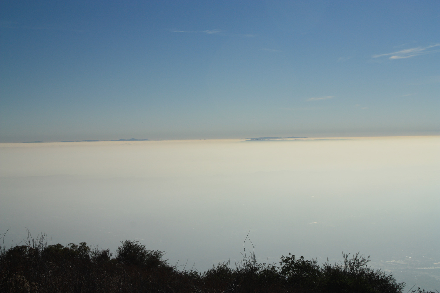
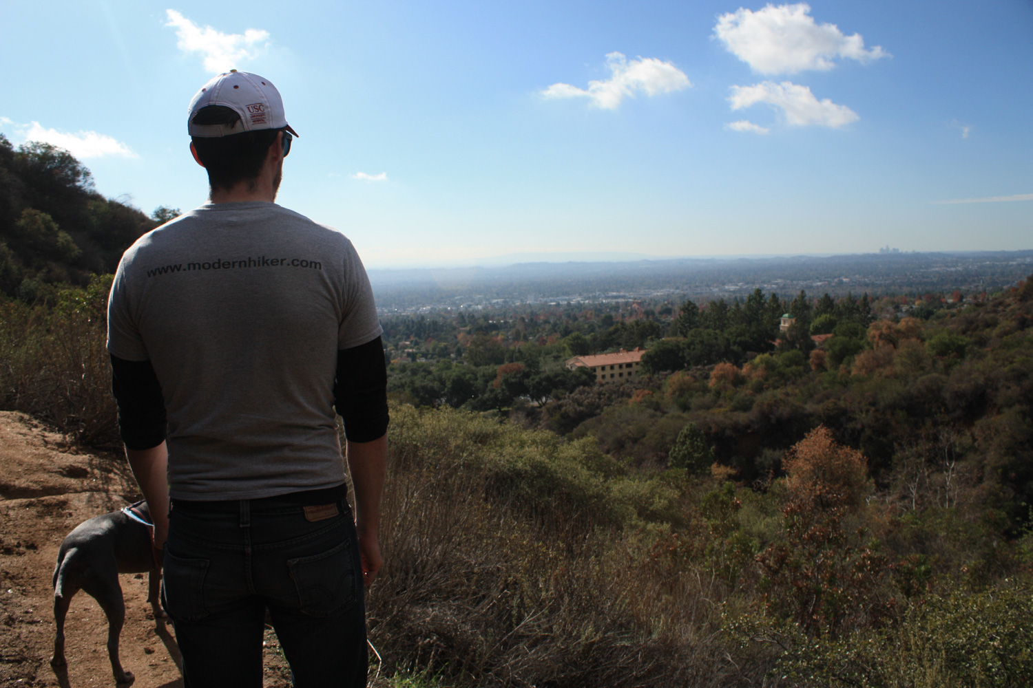
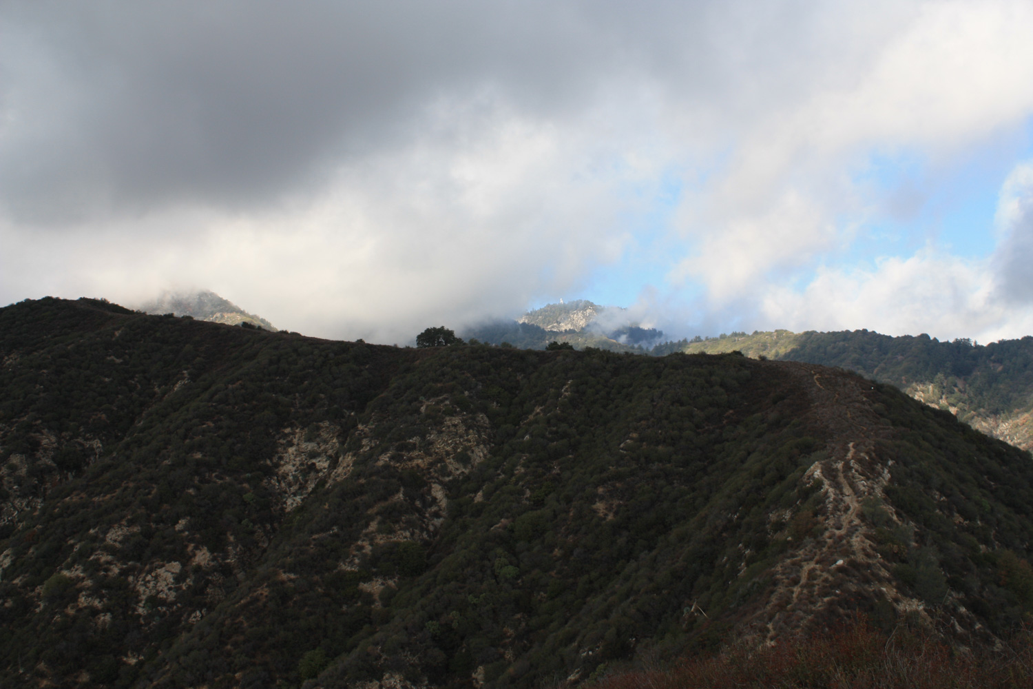
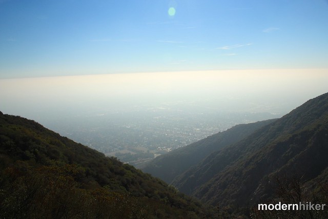
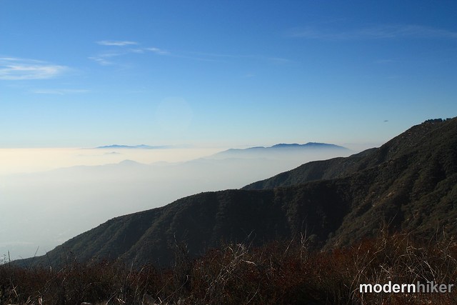
That said, the trail does offer nearly nonstop, million-dollar views of the San Gabriels and the L.A. basin along the way. The views just seem to go on and on forever. Unfortunately on the day I hiked, it was a bit hazy out, so a lot of landmarks were obscured, but now I’m dying to hike this again after a good winter rain scrubs the skies …
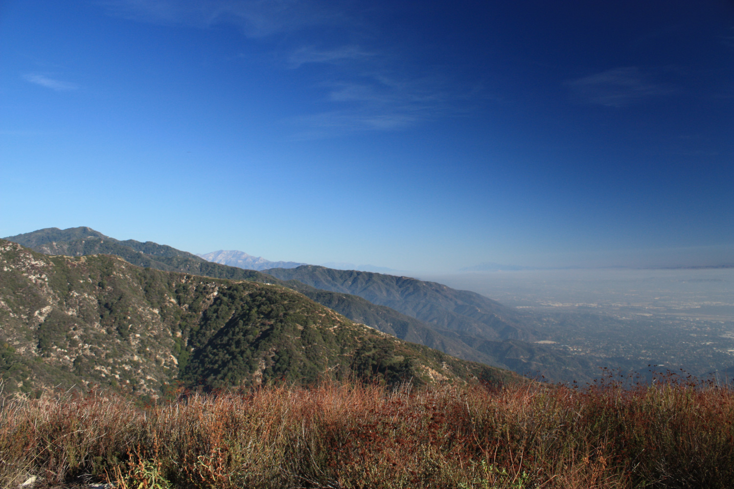
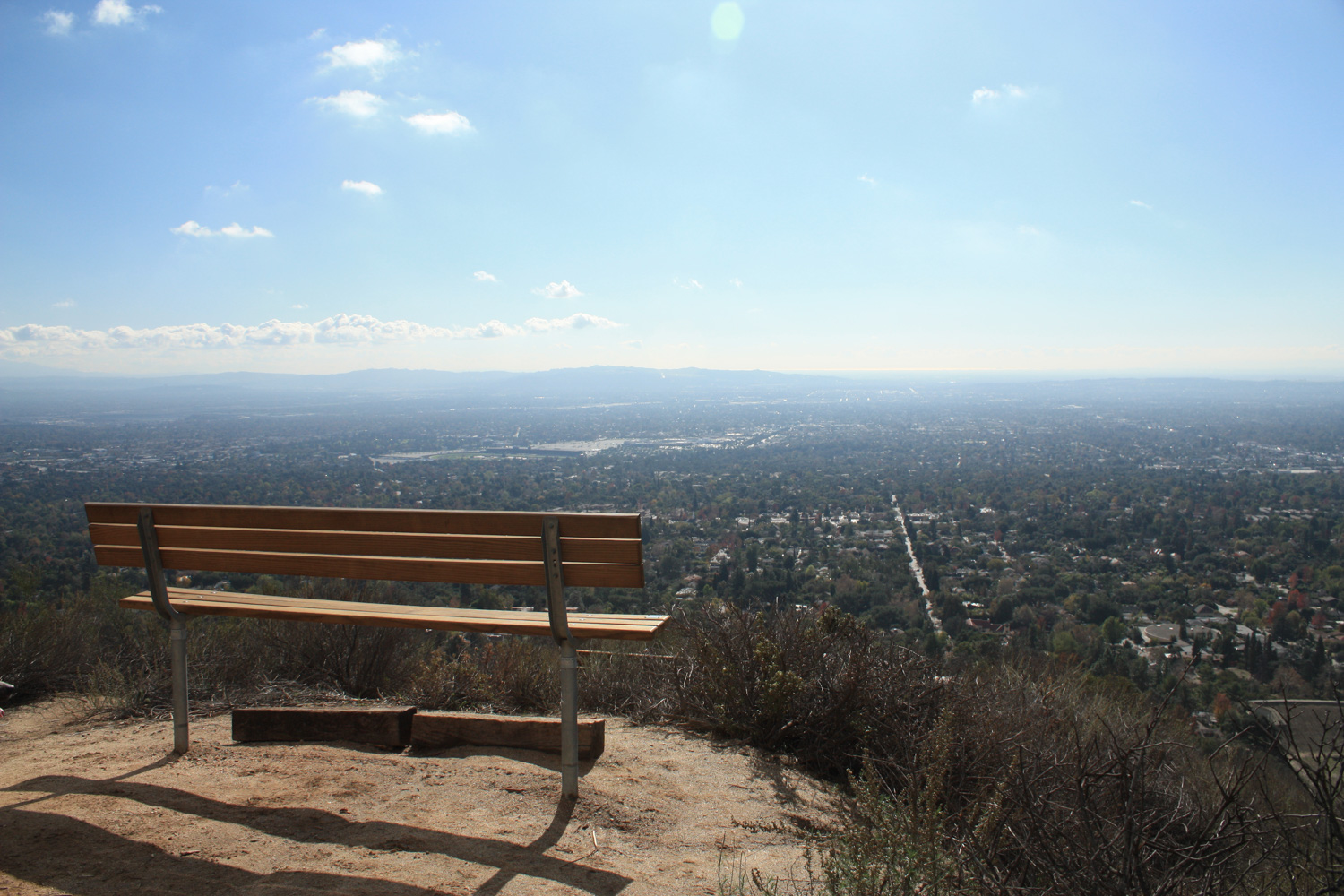
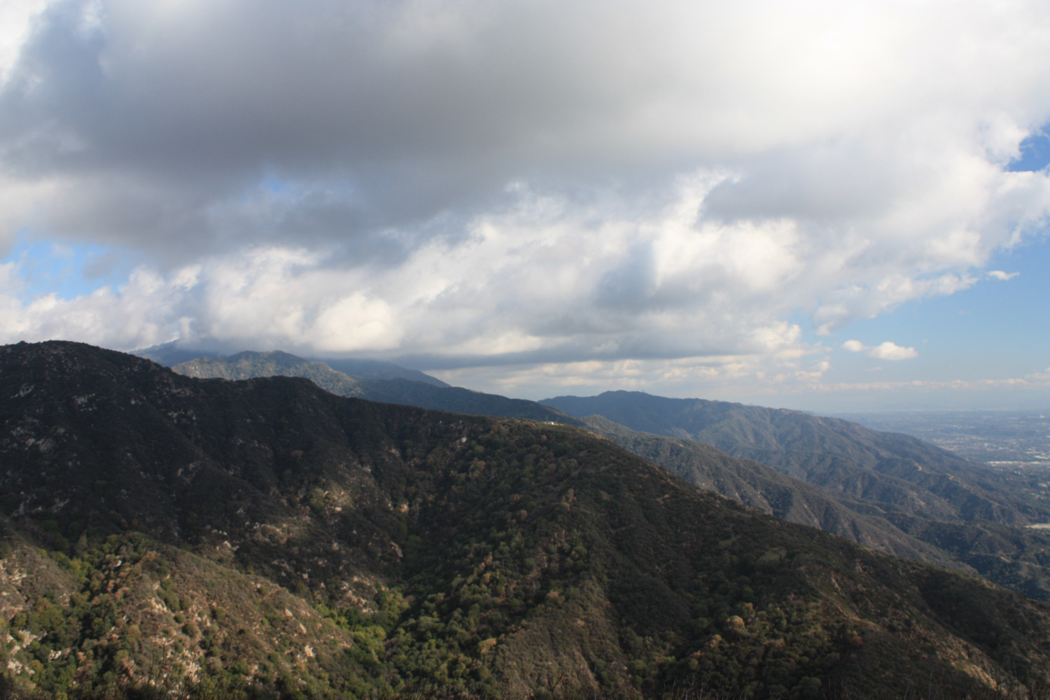
On a winter re-hike of this trail, the views were significantly nicer:
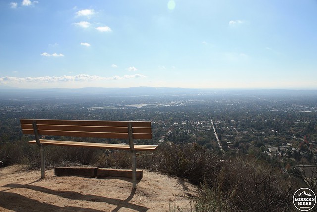
It appears that whoever built this relatively new rest-stop bench along the way has a bit of a sense of humor. This plaque on the bench is what I believe historians would call “not true.”
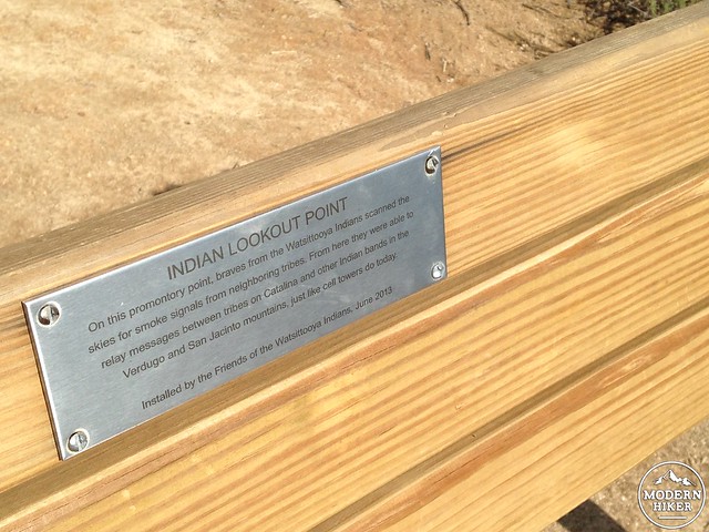
A plaque installed by “The Friends of the Watsittooya Indians.”
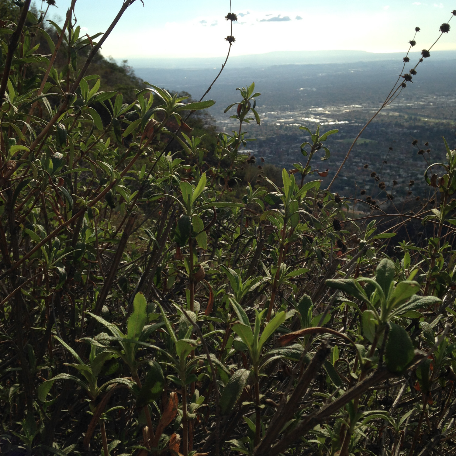
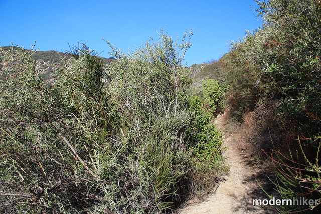
The trail is a moderately tough climb on this early stage, but be sure to be on the lookout for the many fragrant chaparral plants that line the slope of the front range here. When I re-hiked the trail in mid-winter, it was absolutely covered with black sage and California sagebrush, which can definitely make a nice change of smell from the sweat that’s likely pooling on your body on the way up!
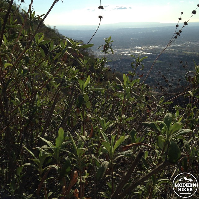
This is black sage. Touch it, smell it, love it.
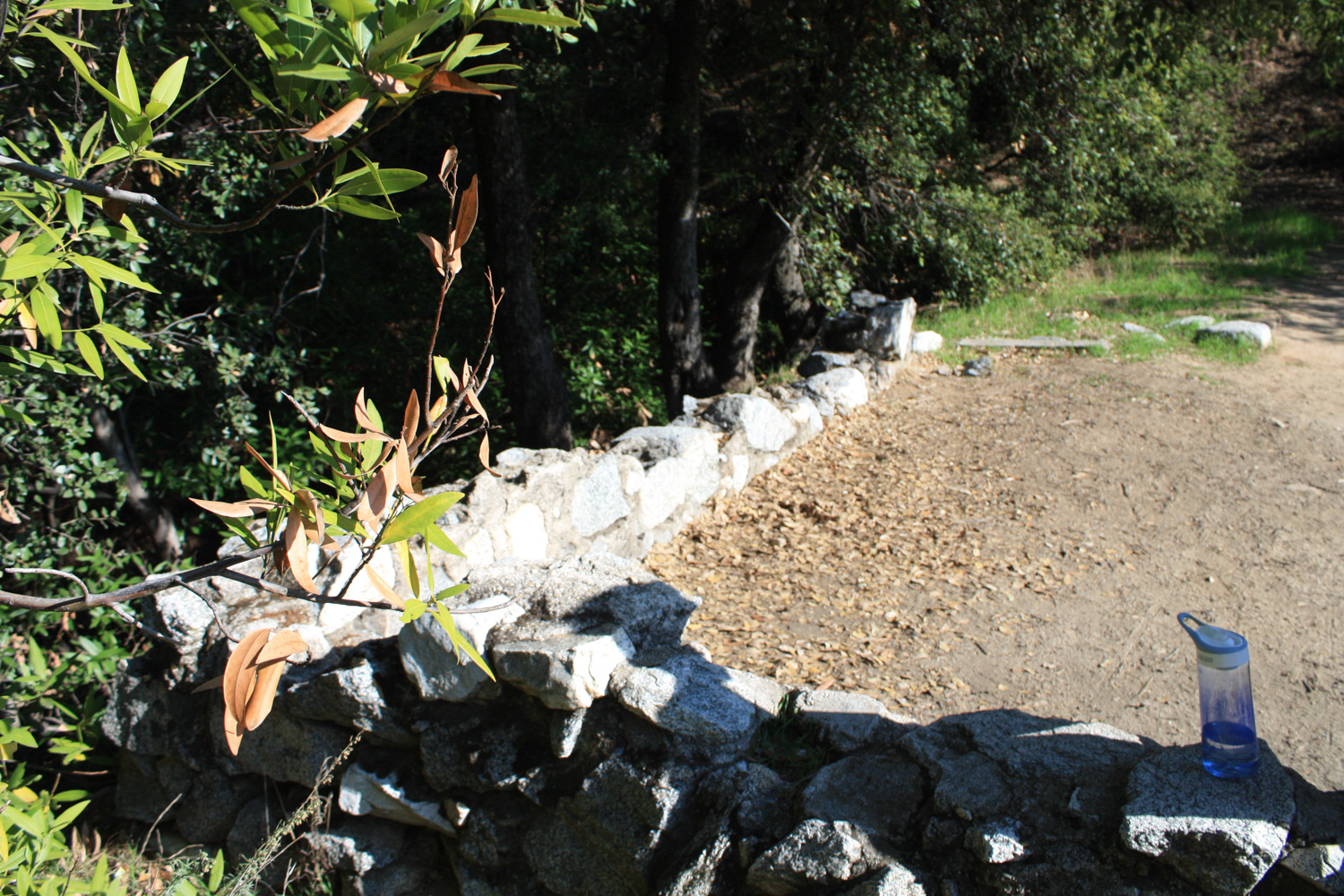
At the 2.5 mile mark, you’ll reach that bit of respite – and it’s a pretty awesome site. Here, the trail finally stops switchbacking for a minute and turns northward into the San Gabriels, deep in a shaded, cool grove. More interestingly, though, there are also the ruins of a very cozy looking cabin, perched on a ledge between the shady grove and a drop-off to the canyons below. A location like this would probably go for a pretty penny on the real estate market these days.
I had a bit of trouble trying to track down the history of this cabin site. The canyon was a big fur-trapping area in the 1880s and this cabin may have been a small hunters’ retreat – the cabin’s footprint looks pretty small for a full fledged homestead. Today, only the stone foundation remains, and it serves as a nice seat to take a rest with shade and good views. A lot of hikers and trail-runners turn around here, but you’re headed for Jones Peak, so get back on the trail and keep heading upward.
It also appears that whoever left the plaque on the bench lower on the slope struck here. While the San Gabriels do have quite a few examples of mountain men who packed up and ditched their east coast families, I’m fairly certain this plaque combining some aspects of the Typhoid Mary story and “It’s a Wonderful Life” is not true. It reads “George’s Cabin: in 1945 a Typhoid epidemic in Bedford Falls killed Mary and their four children. Despondent, George sells the Building and Loan, travels west and lives as a hermit in this hillside cabin. Despite his isolation, George’s outgoing personality impresses everyone who passes on the trail and he is well loved and admired until his death.” On a visit in early 2018, the plaque had been removed.
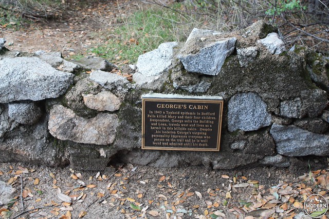
Another recently-installed plaque with historically suspect information.
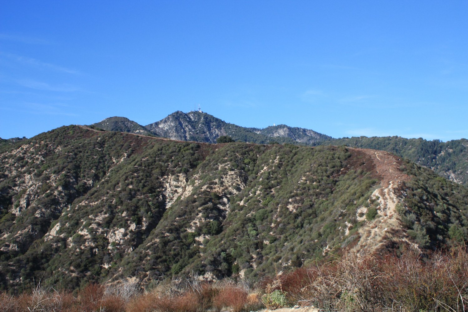
I hope you got a decent little rest at the cabin site – because the switchbacks and incline are about to get even more intense than they were – although at least this time there’s a tiny bit more shade along the way. In less than a mile the trail gains nearly 900 feet, twisting and turning through manzanita and chaparral. Here, you’ll lose some of the grand views of the basin, but you’ll see the old Mount Wilson Toll Road, Mount Harvard, and Mount Wilson to your north.
At the 3.4 mile mark, you’ll pass underneath a small tree at a saddle just north of Jones Peak overlooking Little Santa Anita Canyon to the east. The trail continues north toward Orchard Camp and Mount Wilson, but instead look to the right for a well-worn use trail that scrambles up the north face of Jones Peak.
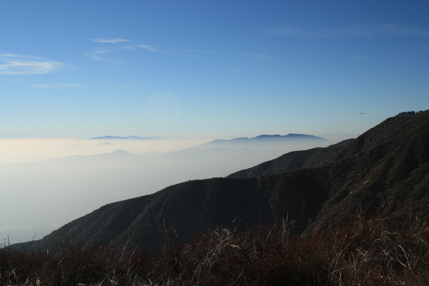
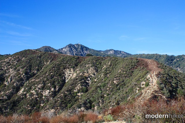
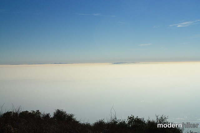
It’s a short little trip up – and when you reach the small tree-less summit, you’ll have fantastic views of the mountains and cities around you … again, providing it’s a clear day. But even if it’s not, you’ll still get a pretty cool view of the higher mountains peeking up through the SoCal haze. You might even be able to see some of the peaks of Catalina!
I found a register in a small tin buried beneath some rocks at the summit. Sign it if you find it, then return back the way you came.
For an optional loop that’s been recommended to me, head north toward Mount Wilson. When the ridge makes a sharp left hand turn, look for a use-trail descending east into Little Santa Anita Canyon. This trail will intersect with the Mount Wilson Trail in that canyon, which you can hike all the way back to Mira Monte Avenue in Sierra Madre in about three miles. From there, you can hike along the city streets back to Bailey Canyon Park in about a mile.
Tags: bailey canyon, cabins, dog-friendly, Hiking, jones peak, Los Angeles, sierra madre, transit accessible, Waterfall