The 6-mile loop through Johnny Lang Canyon is a great introduction for folks interested in getting into off-trail desert hikes. I enjoyed this hike, but there are long stretches of exposure and trudging through the desert, so I wouldn’t recommend it on a hot day. Even in mild weather it’s a good idea to get an early start — the desert is at its best in early dawn hours.
Get started from the Quail Springs picnic area, located along Park Boulevard west of the Wonderland of Rocks. The trail begins by heading southwest towards a deep canyon nestled in the mountains. There is a faint social trail which starts at the runoff pavement located on the southern side of the parking lot. Aim for the second obvious canyon from the right, and forge ahead.
It’s always a good idea to carry a high quality map with you on any hike, but it’s especially important when doing any off-trail travel such as in this hike. The USGS Indian Cove 7.5 minute series quad is the map you’ll want for this hike.
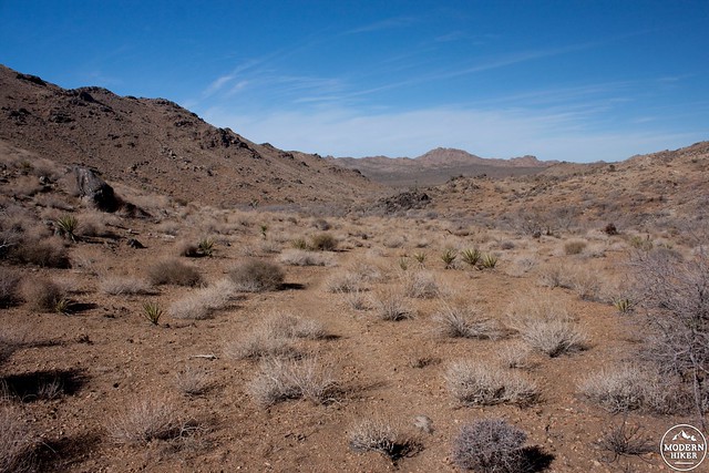
0.75 miles from the trailhead the canyon opens back up into a series of broad valleys. There is no right or wrong way to go from here — the idea is that you want to cross over the low saddle and into the upper sections of Johnny Lang Canyon. The route I took followed the left most (southerly) wash at a notable confluence.

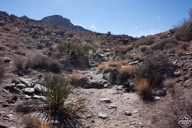
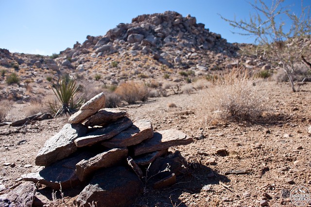
I found a series of small cairns leading up the wash and used them as a guide. A large rock pile marks the crest of the saddle overlooking Johnny Lang Canyon, 1.6 miles from the trailhead.
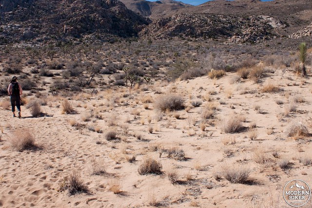
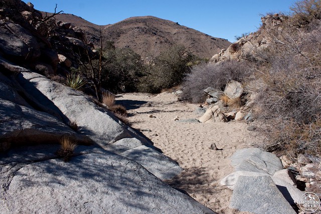
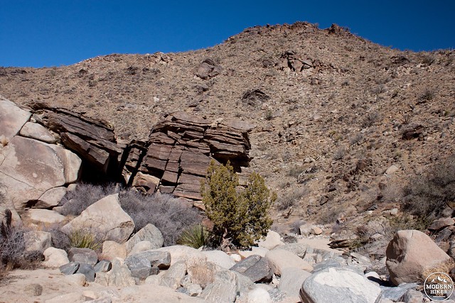
Follow any number of gullies to drop into the canyon proper. Once you’re in the wash the best part of the hike begins. Follow the sandy bottom as it curves northwest past diverse flora and beautiful geologic features.

After a mile, the canyon begins to open up and an old road is visible on your left (southern) side. Walk on the road for easier going, or stay in the canyon until it empties out at mile 4.1.
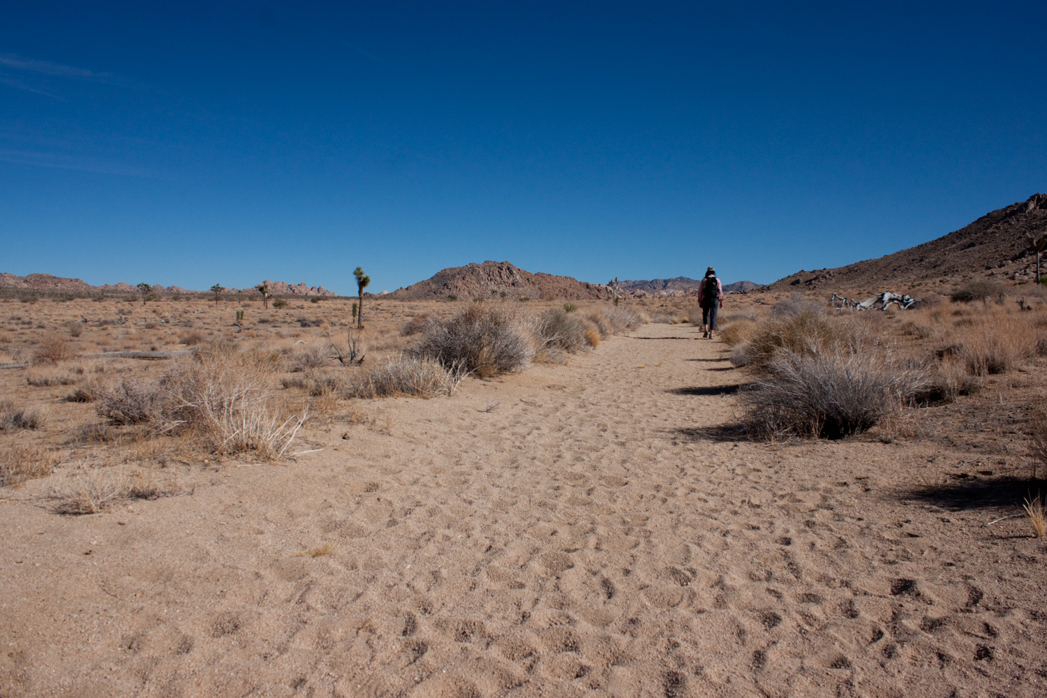
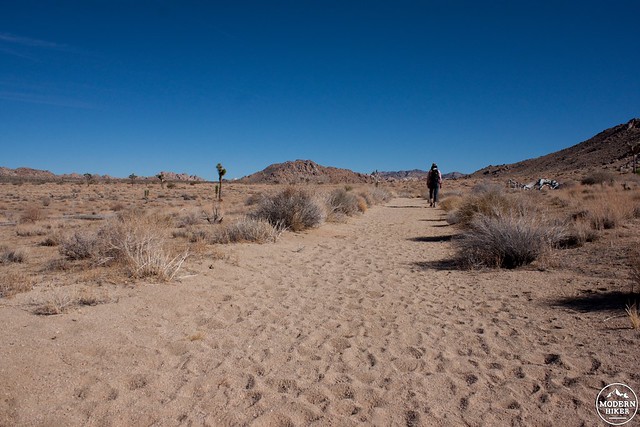
The final leg of the journey is a bit unglamorous (depending on how hot it is). Turn right to head east on Quail Springs Trail. This is a historic route and parallels Quail Wash all the way back to the parking lot. The sand is very soft and very deep, so prepare to get a good workout in over these 2 miles. Pay special attention when the trail crosses the wash, it can be hard to differentiate, but you want to maintain an easterly course back to your car.
Tags: desert hiking, history, Joshua Tree National Park, Mojave Desert, off-trail hike, outdoors, southern california