One of our 16 Ways to See the Hollywood Sign
The Hogback Trail is an accessible, just-under four mile loop in Griffith Park to the peak of Mount Hollywood. On a clear day, this hike will give you tremendous views of the L.A. basin and nearby Griffith Observatory, and its short length belies some genuinely sweat-inducing stretches of incline. It’s a great little hike in the heart of Griffith Park — and the Hogback Trail is one of the most beloved fitness hikes in Los Angeles.
Griffith Park is a great resource for L.A. hikers – both for training hikes and for quick escapes when you don’t have time to make it out for a longer trek. This route up to Mount Hollywood is short and can be done in around 90 minutes if you’re making good time – but features enough of an incline that you’ll feel like you got a good workout along the way.
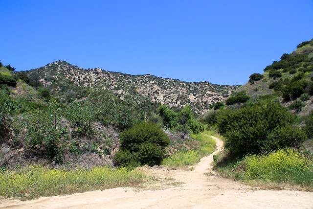
This hike starts on Vermont Avenue, right near the Greek Theater. Park and walk along the east side of Vermont until you see a broad path heading up from the street. Look for a trash can and a large sign warning you about rattlesnakes (they like to sun out on the fire roads, especially on hot summer days).
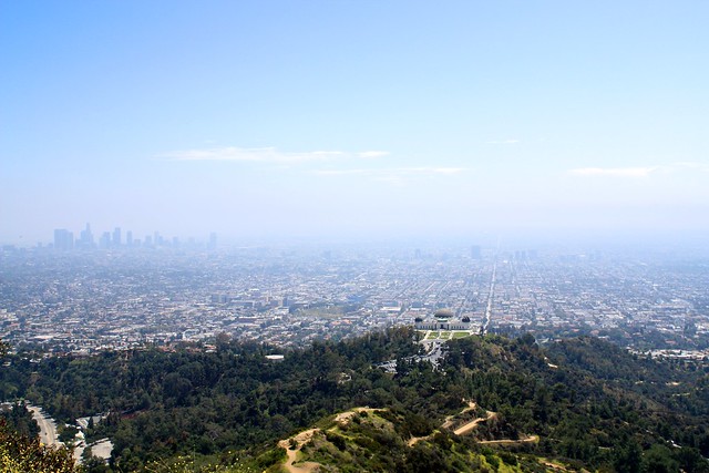
Start hiking up the fire road. It kicks off with a slight incline, but after about 0.2 miles the fire road levels out and remains fairly level as it meanders to the northeast. Right away, you’ll have views of the Greek Theater and nearby Griffith Observatory perched on the ridge just above – as well as the very likely company of joggers and dog-walkers.
In about a half a mile, the trail hits a three-way junction with another trail that comes into the area from the south. As with many areas in Griffith Park, this north-south route officially stops at the junction with the trail you’re on … but adventurous types have kept it going via a rugged, steep fire-break that continues northward.
Some of these use-trails can be really fun and a great way to add a bit of extra challenge to your hike – but they are significantly more rugged. Sometimes they end up plowing through overgrown brush and other times they can end in a nearly-vertical scramble to rejoin the established trail. They are not officially recognized by the park and in many cases, their use causes unnecessary trail erosion and damage, so please stick to the established trails.
For now, ignore the use trail and continue straight for about another 0.5 miles, where you will reach yet another north-south route through Aberdeen Canyon. Once again, ignore the use trails and keep on the main trail, which you’ll be able to recognize because it’s the only one that has a steep incline.
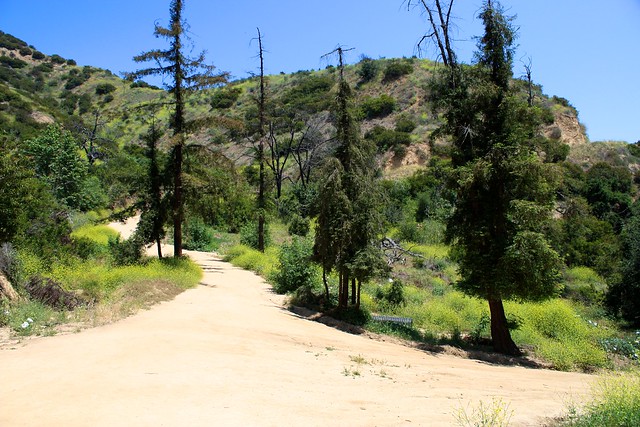
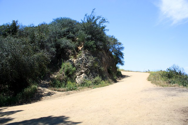
From here, the trail ascends just under 200 feet in the next 0.2 miles before hitting a fire road on a ridge. Take a sharp left to stay on the trail instead of joining the fire road. If you’re going the right way you’ll see a no smoking sign on the left hand side of the path, and you should be able to make out Griffith Park Observatory in the background. This is the Hogback Trail.
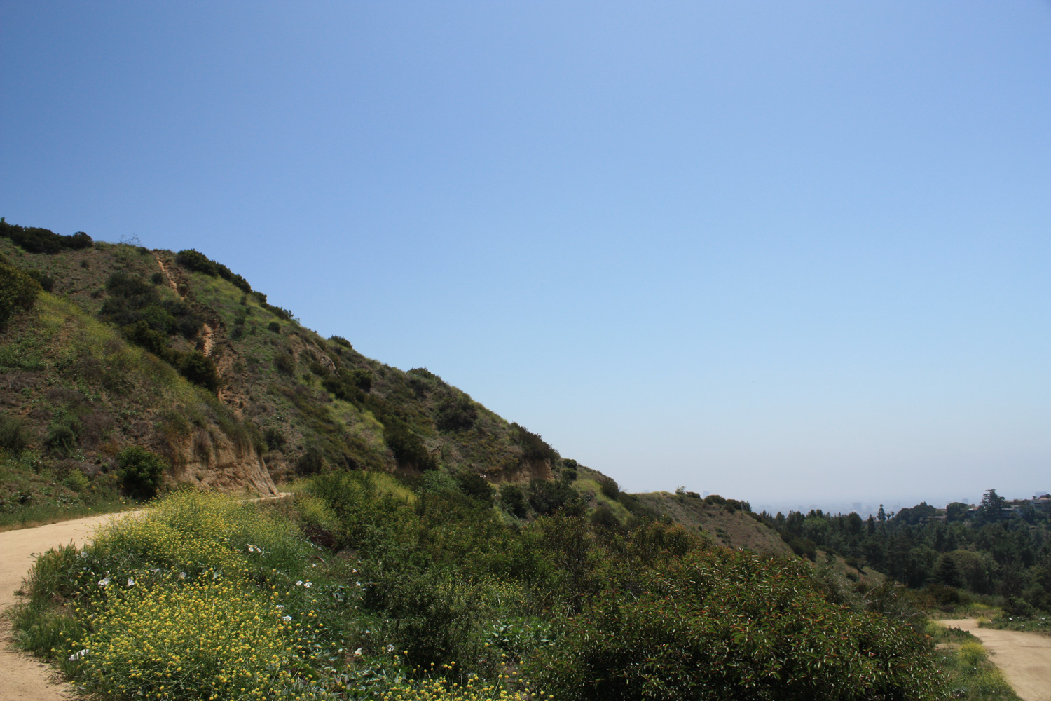
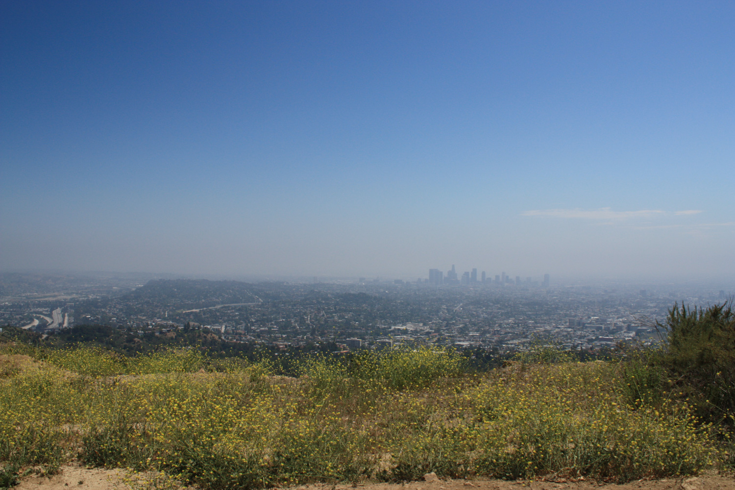
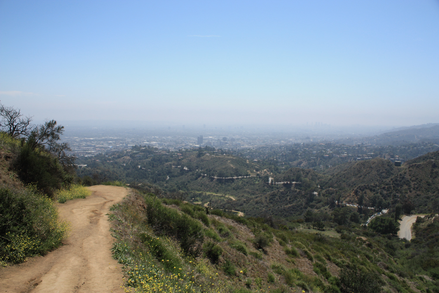
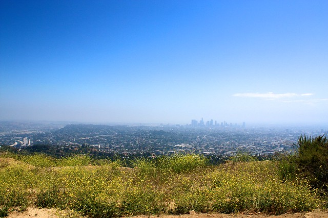
Unfortunately the day I did this hike for the site was pretty hazy, but I’ve done this route on clear days before and some of the views from this portion of the trail can be breathtaking. If it’s clear, be sure to take a peek north at the San Gabriels from the fire road junction before you hop back on the trail.
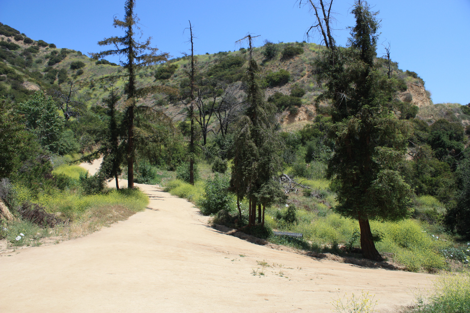
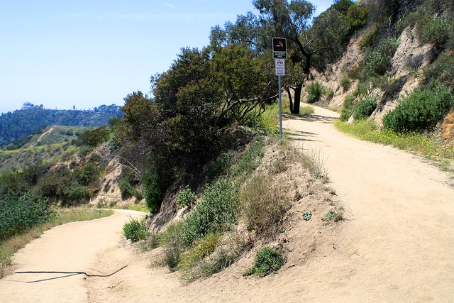
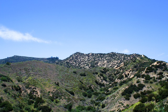
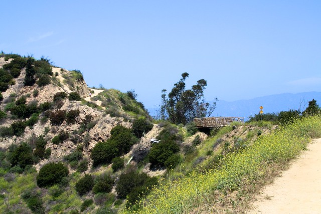
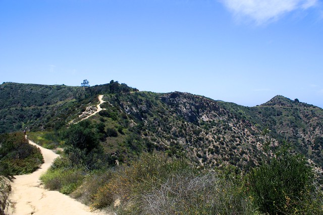
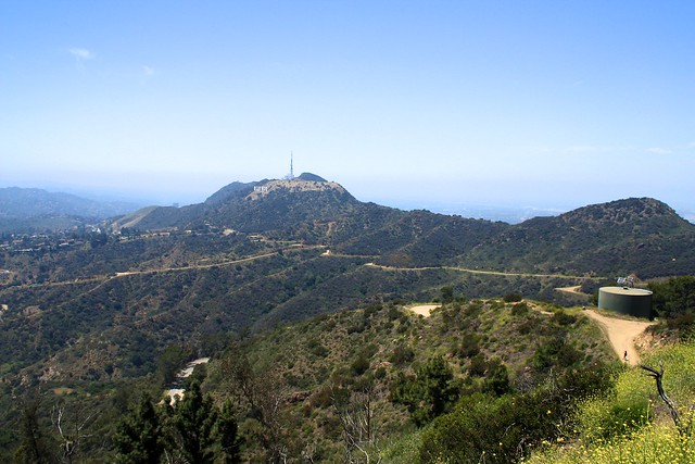
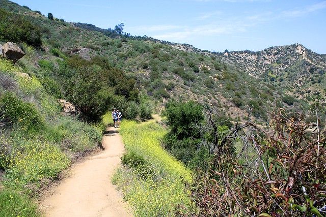
Continue on this looping stretch of inclining fire road until you note a small bridge at the 1.5 mile mark. Along the way, note the canyon-use trail below you and look to the west to spot Mount Hollywood – the little bump at the end of the long sloping summit on the left hand side of this picture:
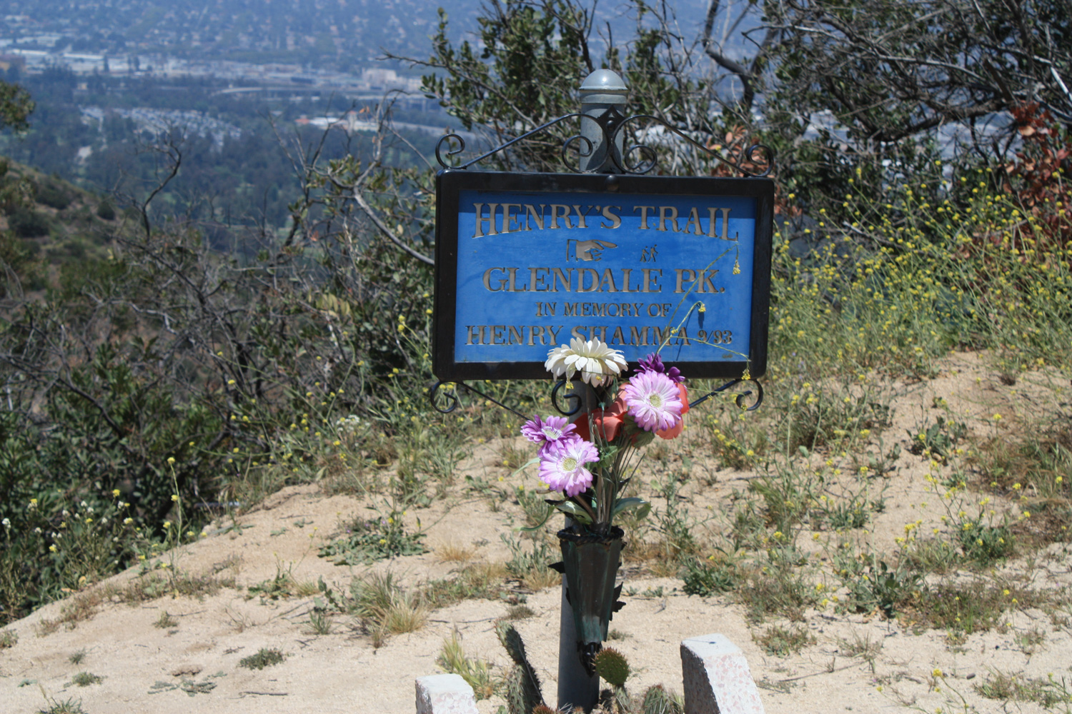
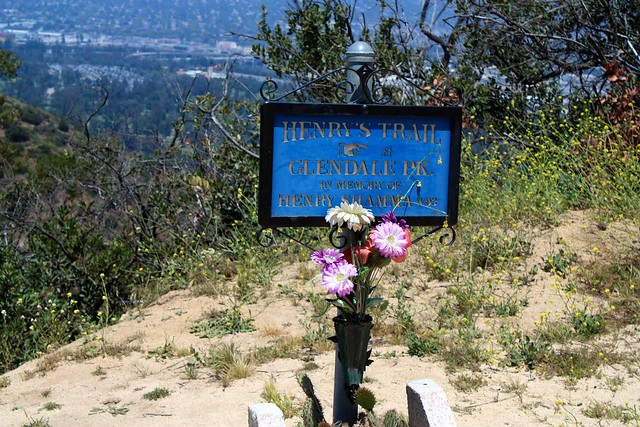
Just before you cross the bridge on the Hogback Trail, there is a very short side trip you can take up to Glendale Peak via Henry’s Trail. You can’t miss the sign.
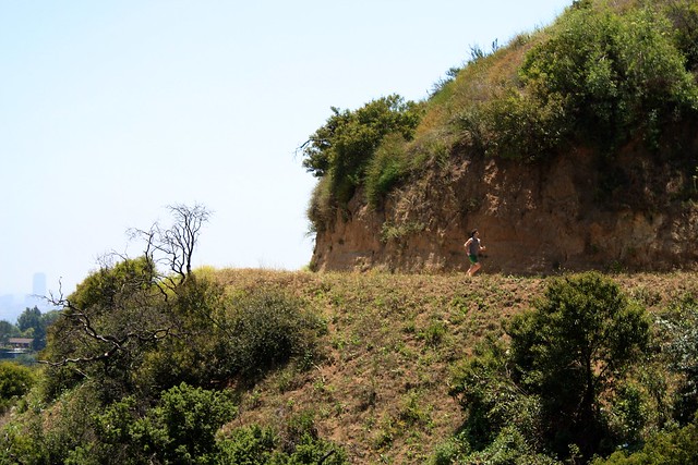
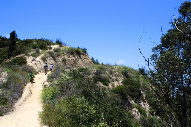
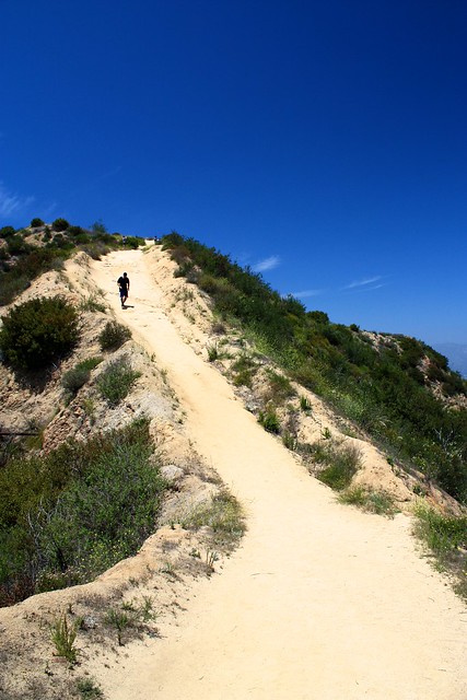
Now … get ready for the workout portion of the hike – for the next 0.72 miles, you’ll be ascending nearly 400 feet along a completely shadeless ridge, making your way toward Mount Hollywood.
It’s not technically difficult, but on a hot, sunny day this stretch could definitely make you winded. Just take it easy and enjoy your workout and views on the Hogback Trail.
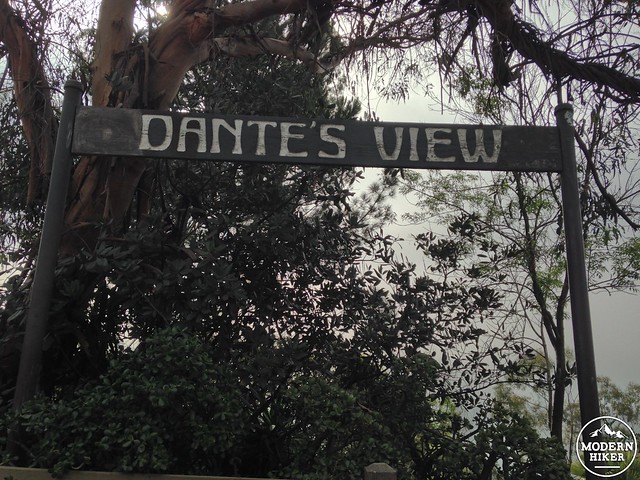
At the 2.2 mile mark, the ridge-walking Hogback Trail comes to a junction with a north-south fire road near a small, shaded garden called Dante’s View. The Garden here is named for Dante Orgolini, an Italian artist and journalist who moved to the United States in 1926. He attended Boston University, received a degree in art, and was planning on heading to Brazil after finishing a few murals for the Santa Barbara Courthouse but instead settled in Los Angeles to cover the entertainment industry for the Brazilian newspaper A Noite. Living in Los Feliz, he took to exploring Griffith Park in his spare time, and with the help of fellow hikers and park rangers, he carved out this garden that now carries his name. Dante maintained the garden for years as a volunteer, succeeded by a fellow longtime volunteer named Charlie Parker (the Charlie Turner Trailhead near the Observatory and Berlin Forest is named in Parker’s honor).
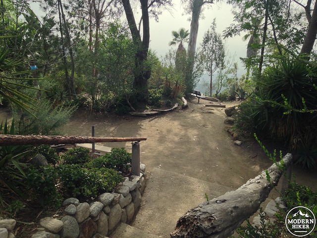
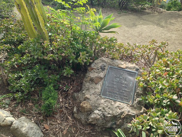
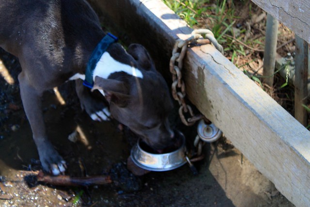
Enjoy a bit of rare shade or some water from the nearby fountain (there’s a little dog dish for four-legged hikers, too).
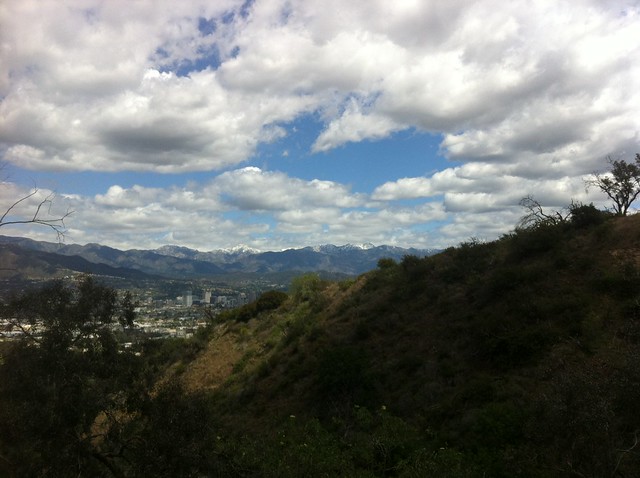
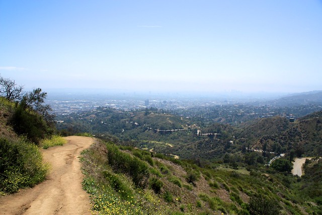
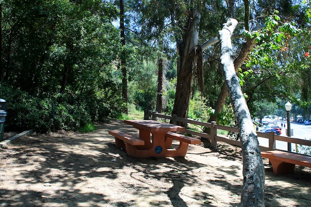
When you’re ready to make the final short trek to the summit, continue west on the Mount Hollywood Trail, then follow it as it loops southward to head toward the summit. You should be able to see a small fenced-in area with picnic tables and some equestrian bars. If you’ve got a clear day, you’ll get some great views of the Observatory, downtown, and even a side-angle on the nearby Hollywood Sign.
Once you’re done enjoying the views (or the haze), return to Dante’s View the way you came up. If you’re feeling adventurous, there is also a use-trail shortcut near the southernmost point of Mount Hollywood’s summit on the eastern side of the promontory.
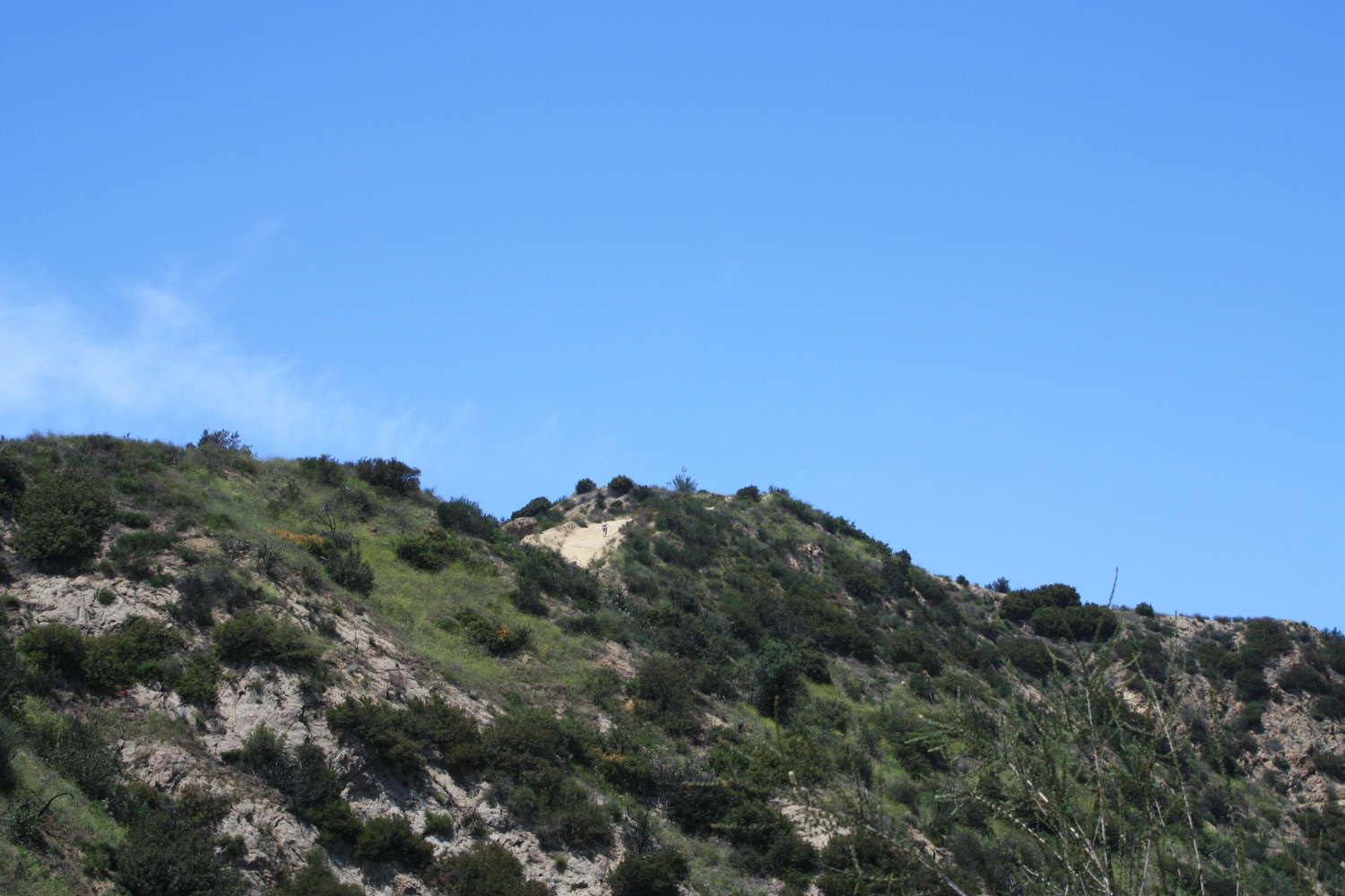
Either way you decide to descend, once you get to the trail just below the summit of Mount Hollywood, when you reach the five-way junction it may seem a bit confusing. When you’re looking south from this junction, you’ll see this:
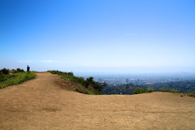
If you approach what looks like a drop-off, you’ll discover it’s actually a single-track trail that looks like it’s headed to the Observatory.
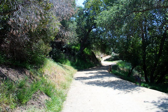
Unfortunately, unless you hop off this trail onto some other use-trails, this won’t take you to the Observatory, but it will give you a surprisingly lovely (and kind of steep) descent back down to Vermont Avenue on the Bird Sanctuary Trail, spitting you out just past the under-renovation Bird Sanctuary at a bathroom and picnic area just above the Greek Theatre parking area.
Tags: Dante's View, greek theater, Griffith Park, griffith park observatory, Hiking, hollywood sign, Los Angeles, mount hollywood